bobspirko.ca | Home | Canada Trips | US Trips | Hiking | Snowshoeing | MAP | About
Lipalian Mountain and Purple Peak
Banff National Park, Alberta
October 11, 2008
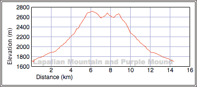
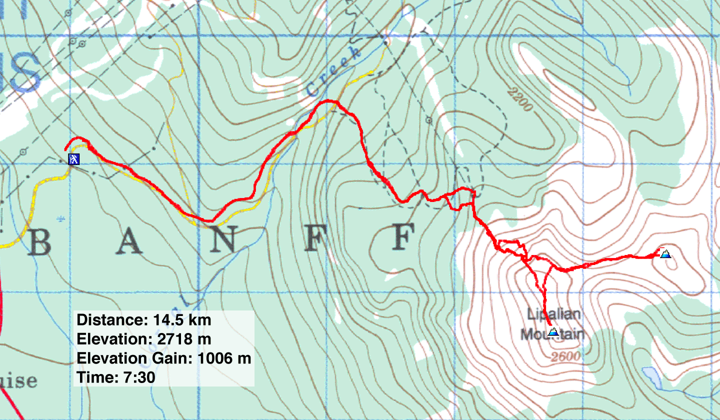
Distance: 14.5 km (9.0 mi)
Cumulative Elevation Gain: 1183 m
(3881 ft)
Lipalian Mountain had been on my list for some time, and the Thanksgiving weekend looked like a good time to go. Although it was cold for this time of year, the mountain forecast called for blue skies. Less certain than the weather, however, was our route. I could find no information, so we would have to wing it.
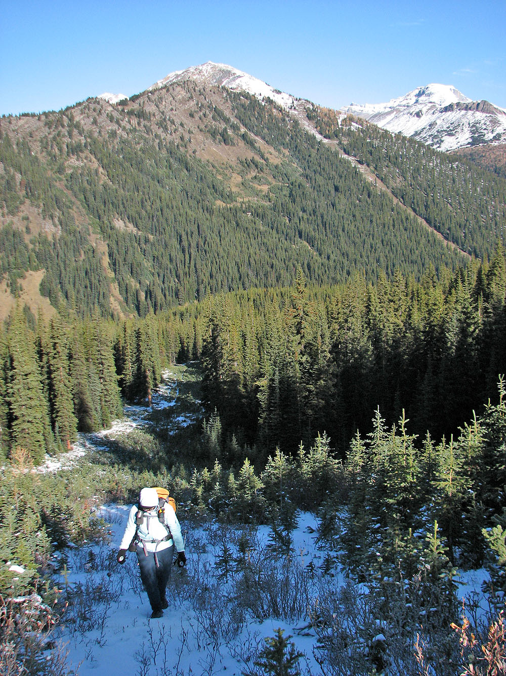
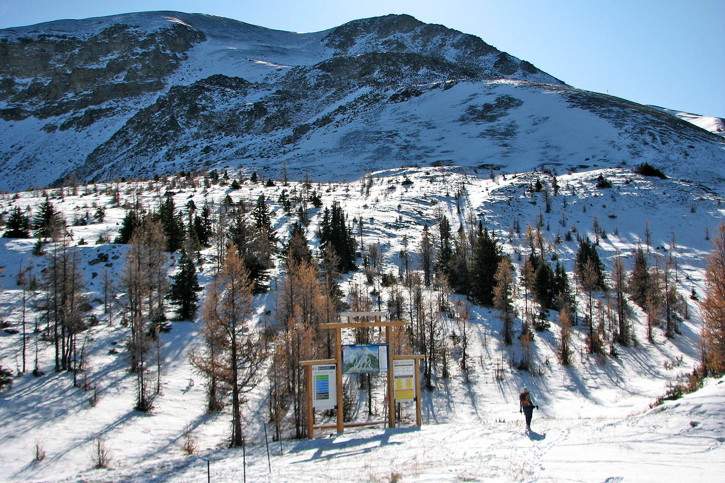
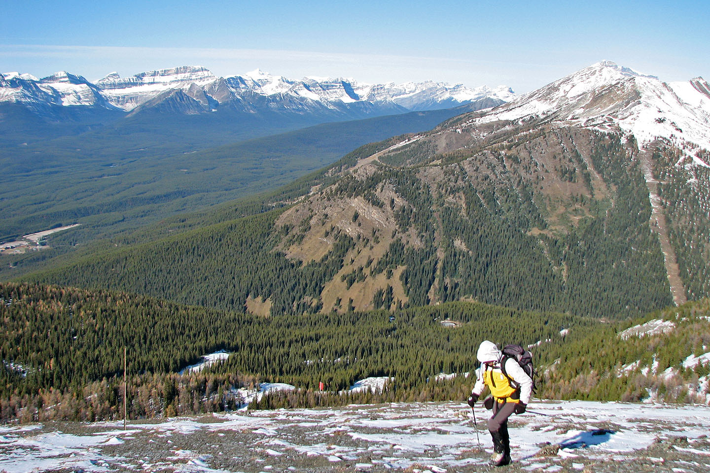
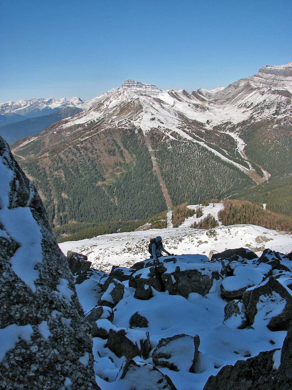
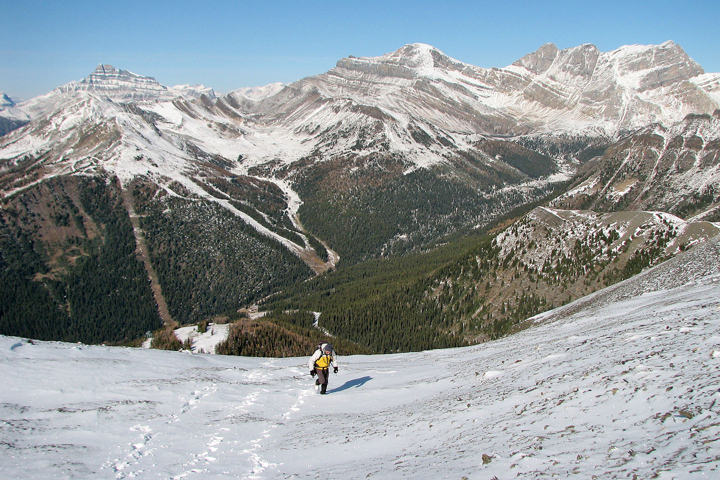
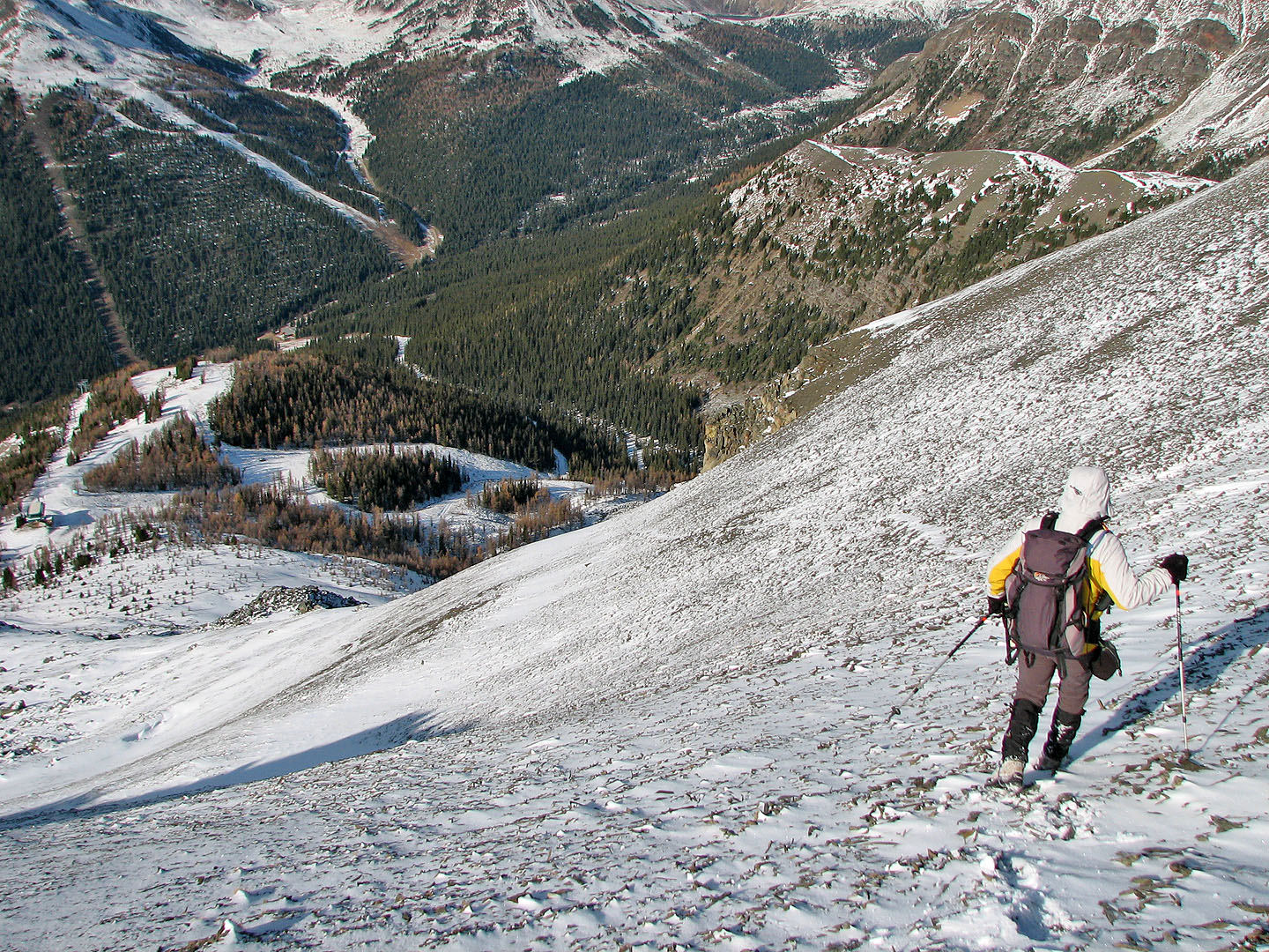
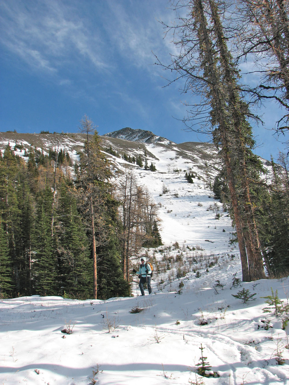
Our trip began at Fish Creek parking. Dinah and I hiked up Temple Lodge Road and after crossing the bridge and passing some buildings, we started up a ski-out on our right. We followed a path in the small pines in the run. At the chair-lift the views opened up, and we gazed up at the northeast slopes of Lipalian.
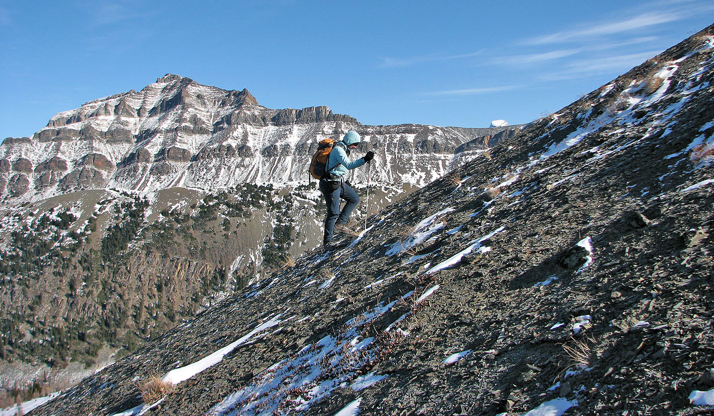
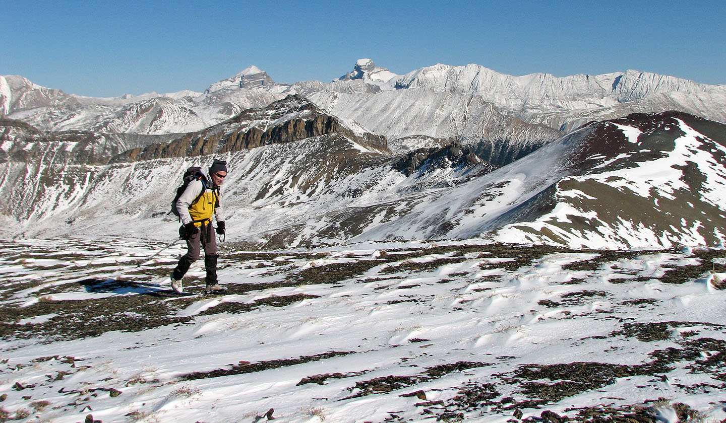
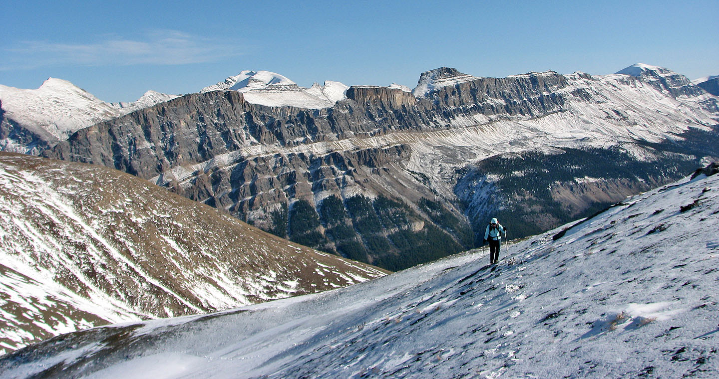
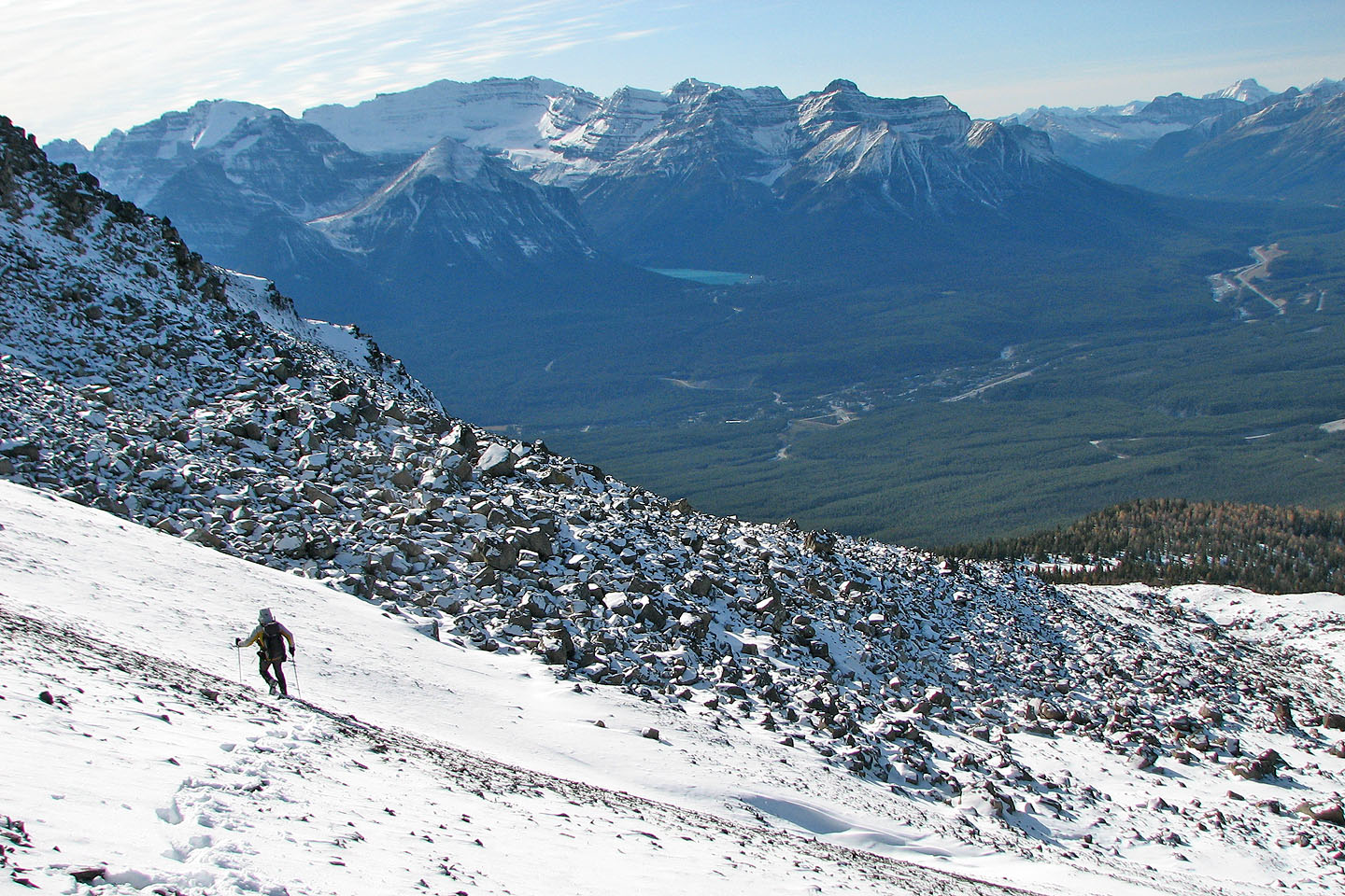
We hiked up steep scree before reaching the base of a boulder slope. At first we tried to scramble straight up, but the snow-covered boulders were irksome so we traversed right to reach a drainage that was less steep. This seemed like a logical place to ascend, but it led us to the middle of a boulder field. Unknowingly, we missed a narrow clearing that bypassed the boulder field on the left. I thought we would get through the boulder field quickly, but because of our limited views, I underestimated its size: it was huge!
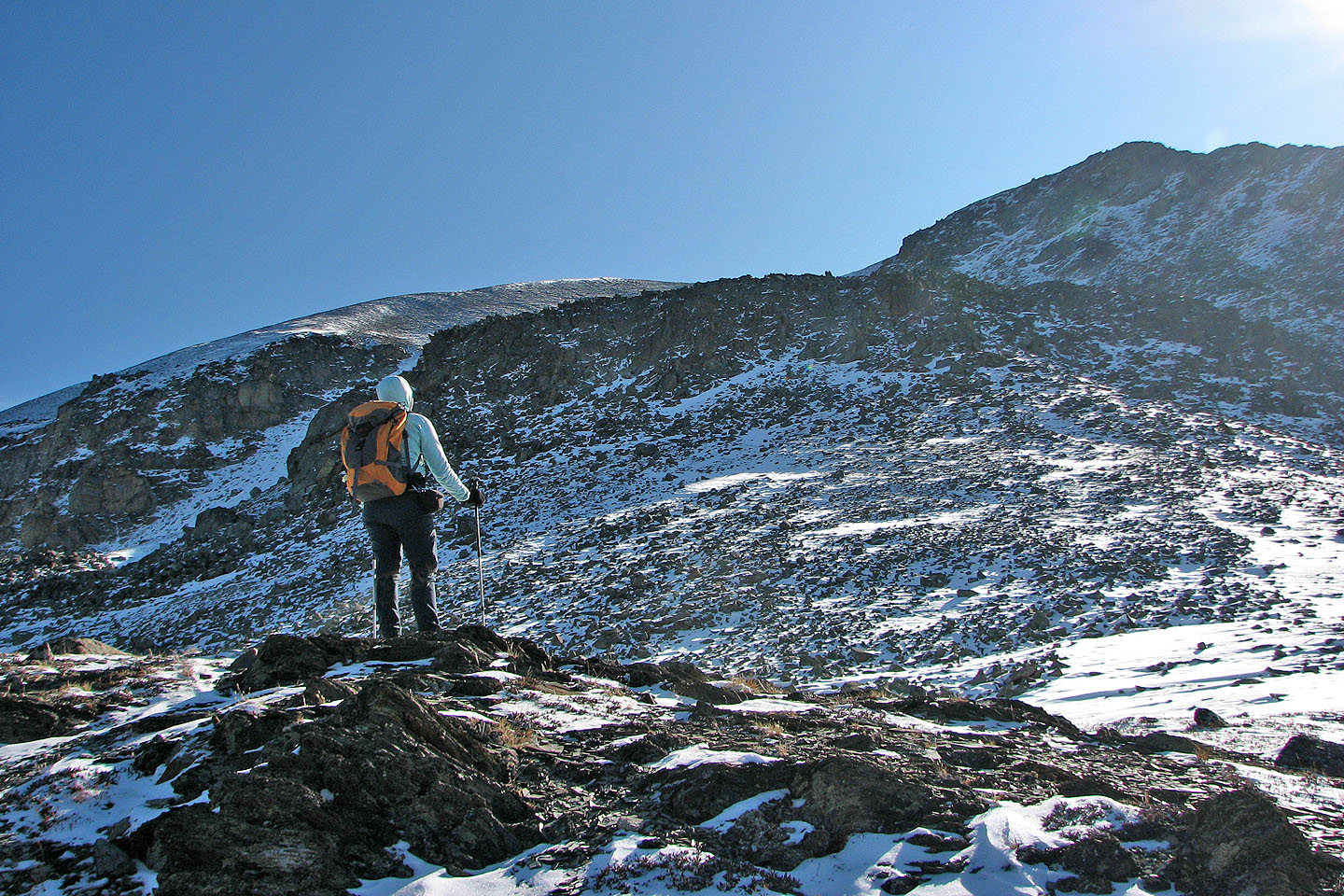
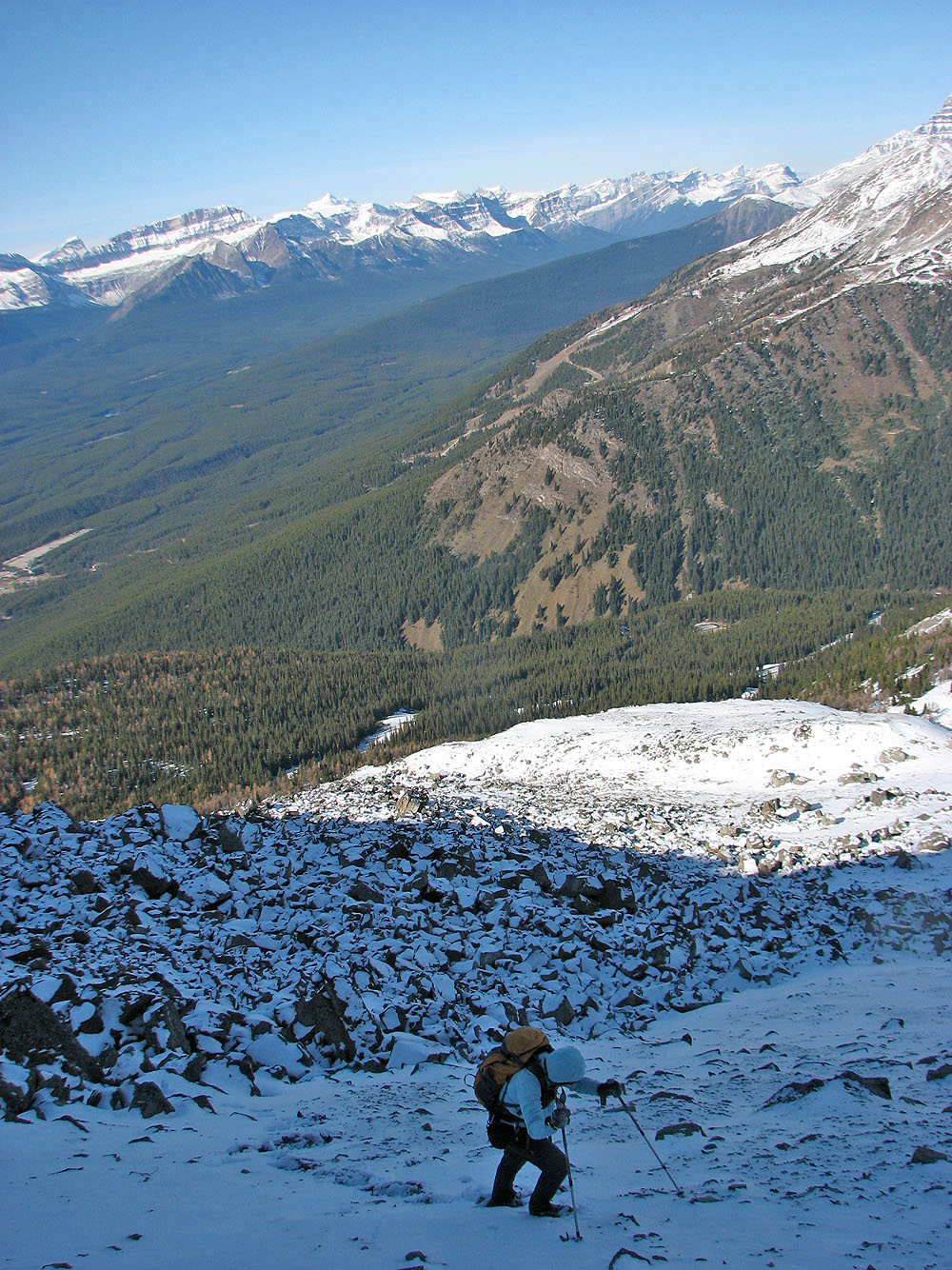
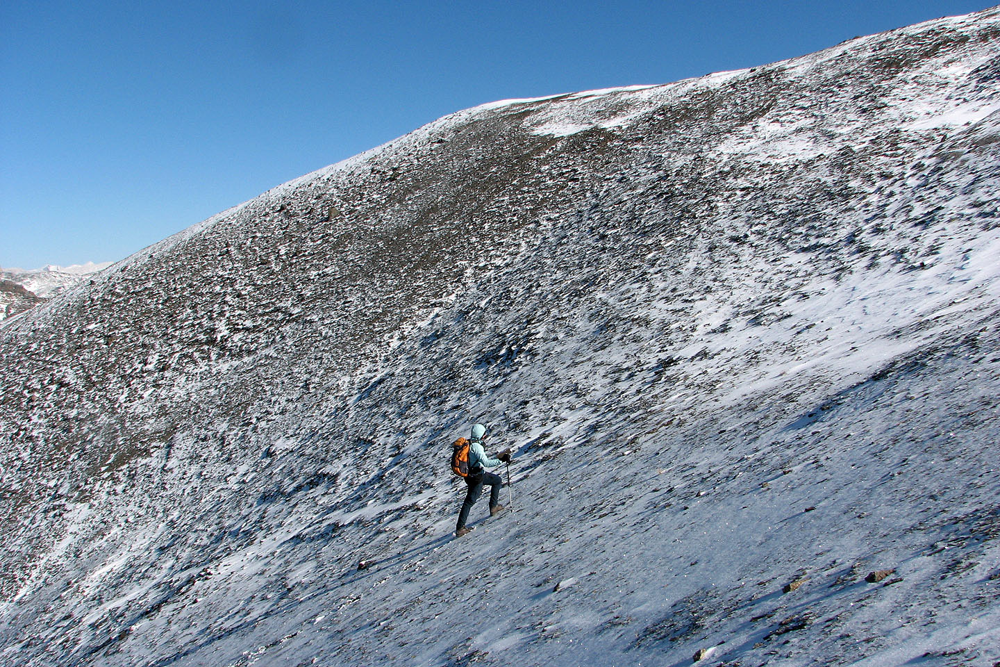
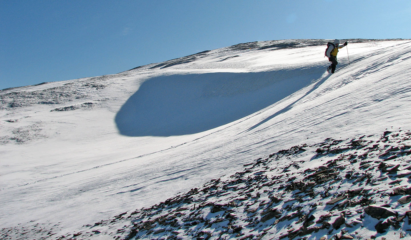
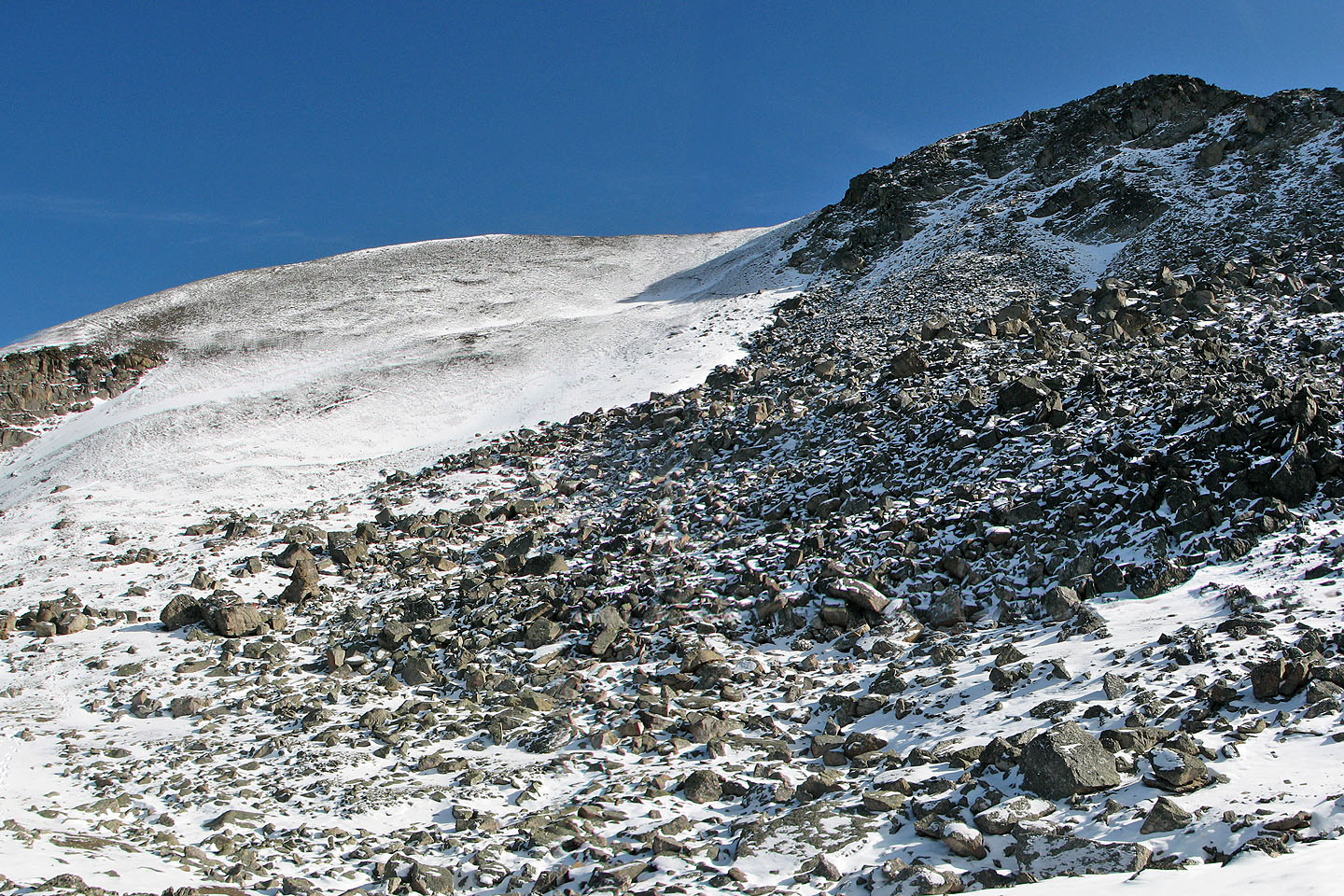
After a long, miserable struggle through boulders, we thankfully reached the scree slopes. The steep scree soon led to the gentle, broad slopes below the summit.
We reached the summit four and a half hours after starting. Not only had the boulder field impeded us, but we suffered from the cold. It was -10°C when we started, and our toes soon froze. I added toe-warmers, while Dinah massaged her toes back to life.
By the time we reached the summit, it had warmed up a bit, and since there was no wind, our stay on top was pleasant. Certainly the surrounding snow-covered summits merited viewing under clear, blue skies. We had no trouble identifying several peaks around us.
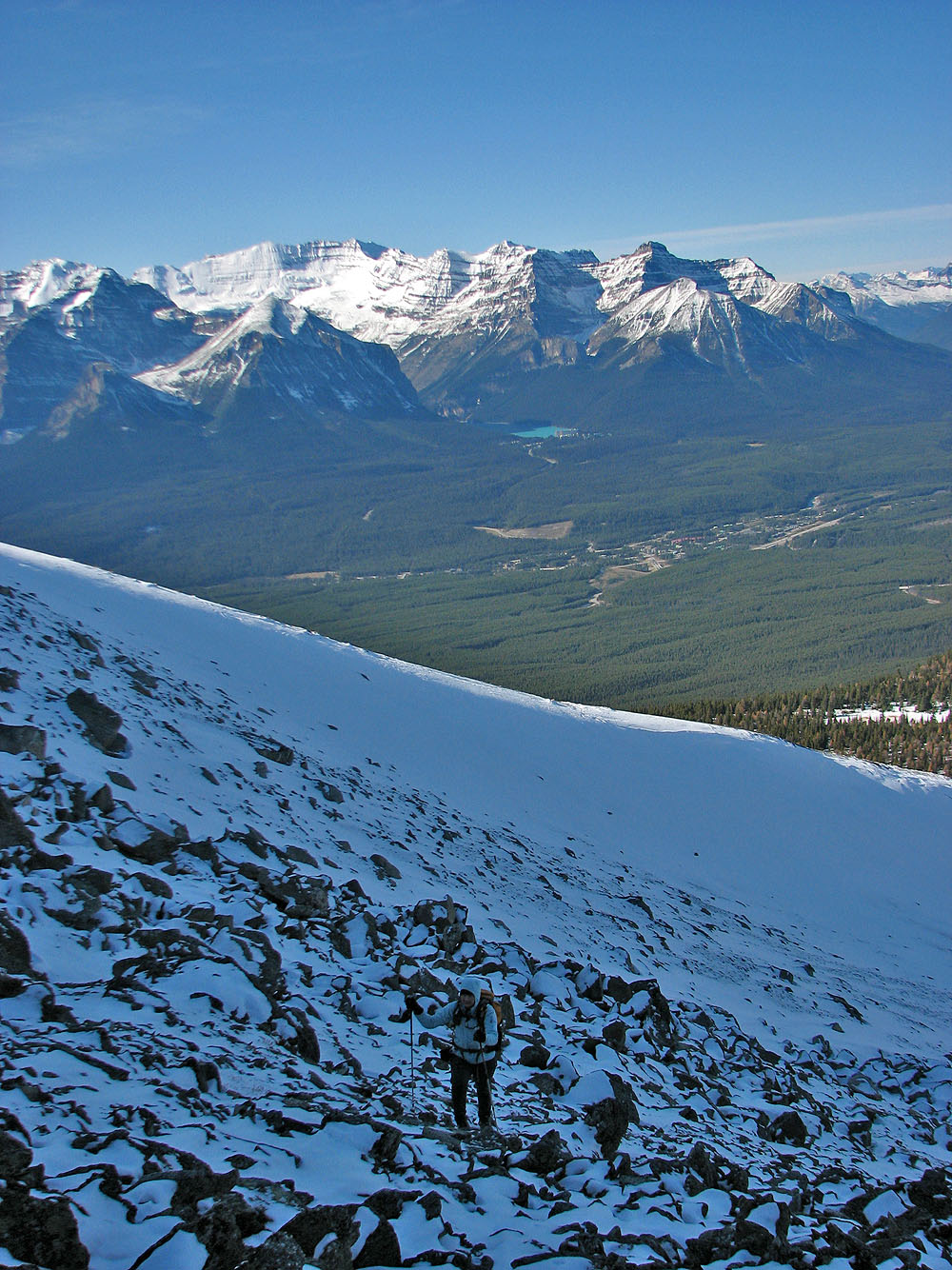
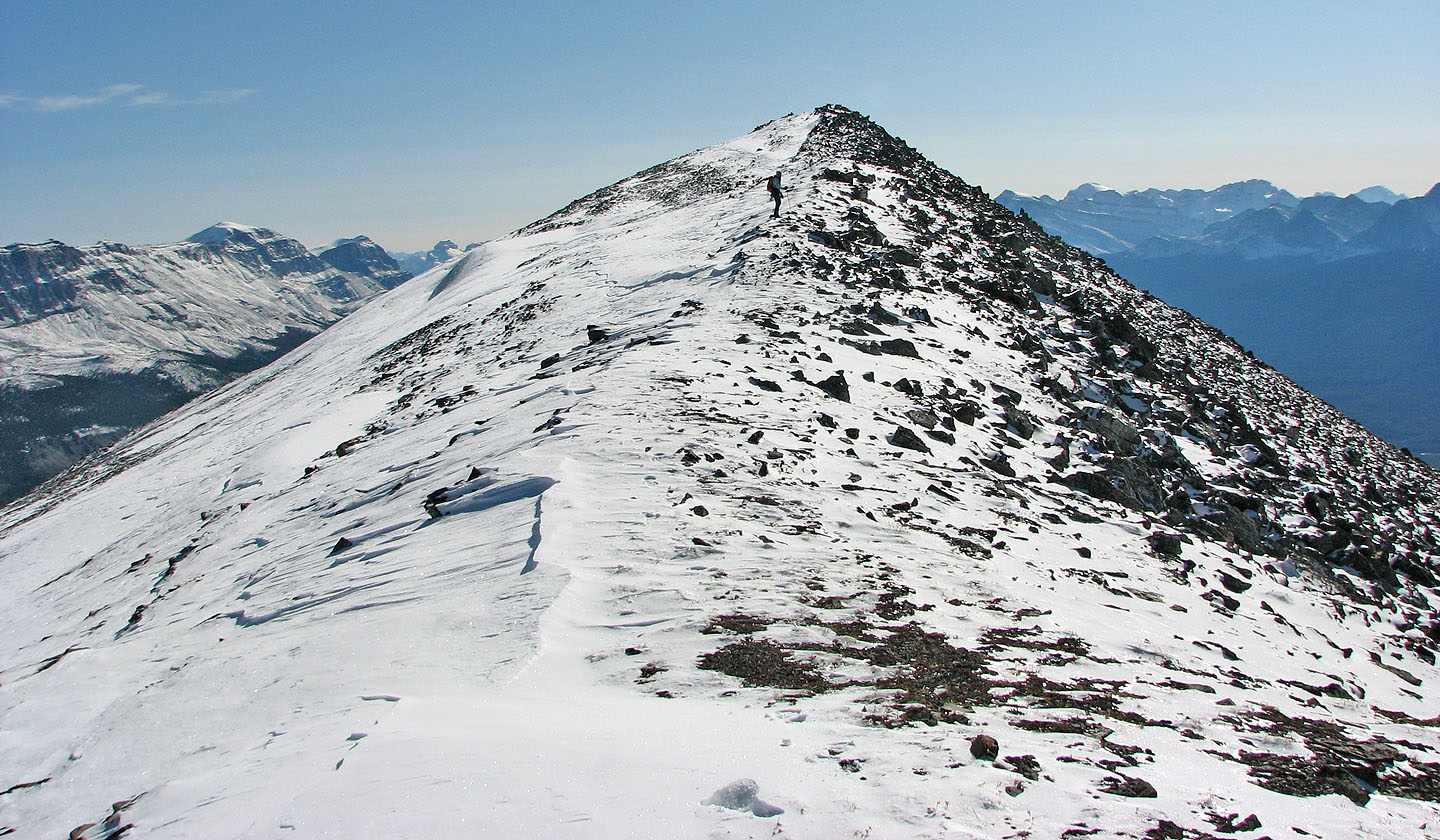
There was no reason to turn back immediately on such a fine day, so we hiked the east ridge to the next high point, known as Purple Mound or Purple Peak. It only took half an hour, but we lost 70 m of elevation. Although not far from Lipalian, the views were different and striking enough to make Purple Peak worthwhile.
After reaching the summit, we decided to head back to Lipalian, although it meant regaining 100 m of elevation. The views were too nice to leave the alpine region just yet.
When we reached the scree slope above the boulder field, we headed down a trail in the scree on our right. This time, we easily circumvented the boulders above the ridge and then worked our way down to the chairlift. From there we hiked back on the ski-out and Temple Road.
Lipalian Mountain seen from the ski-out
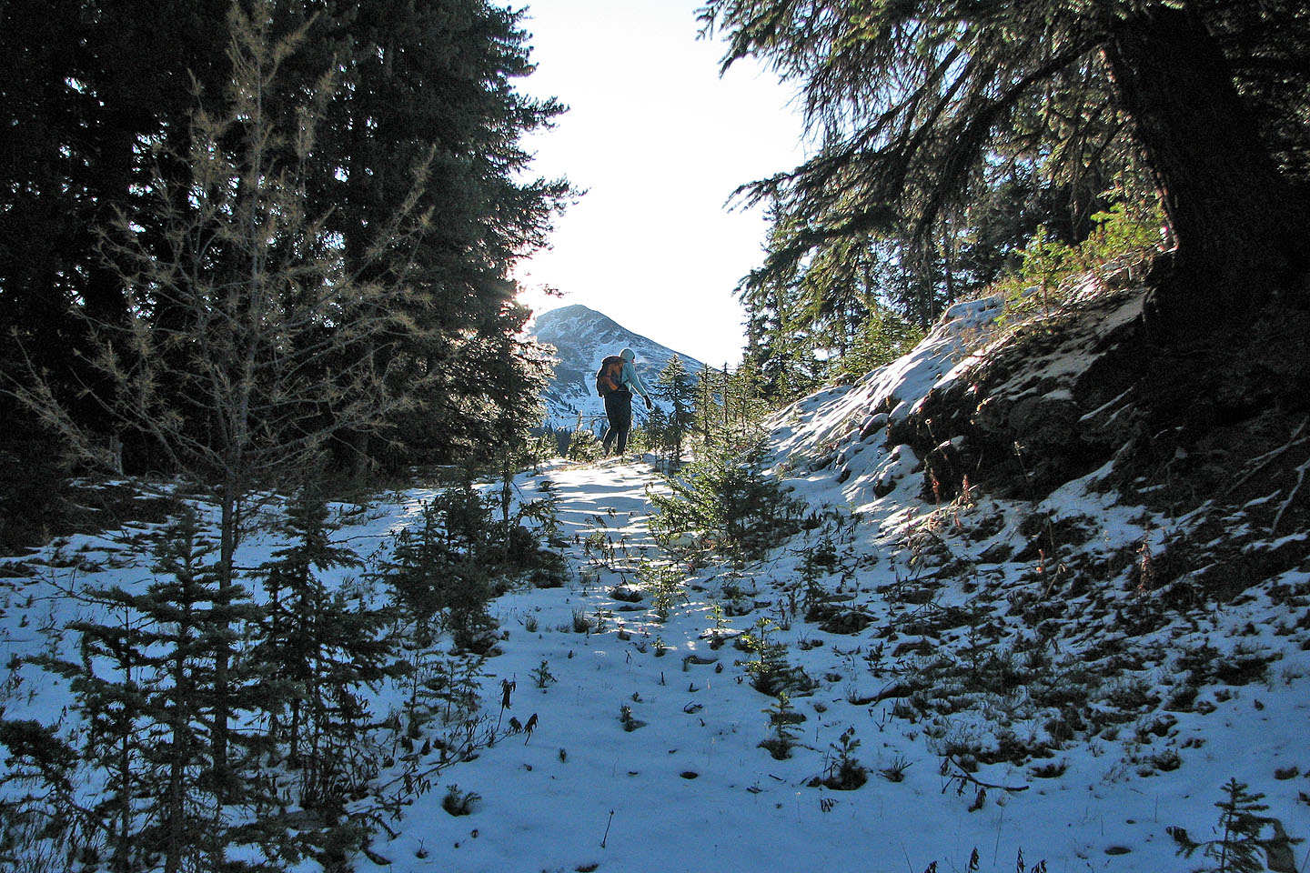
Hiking up the ski-out
View of Lipalian from the ski lift. Summit is hidden.
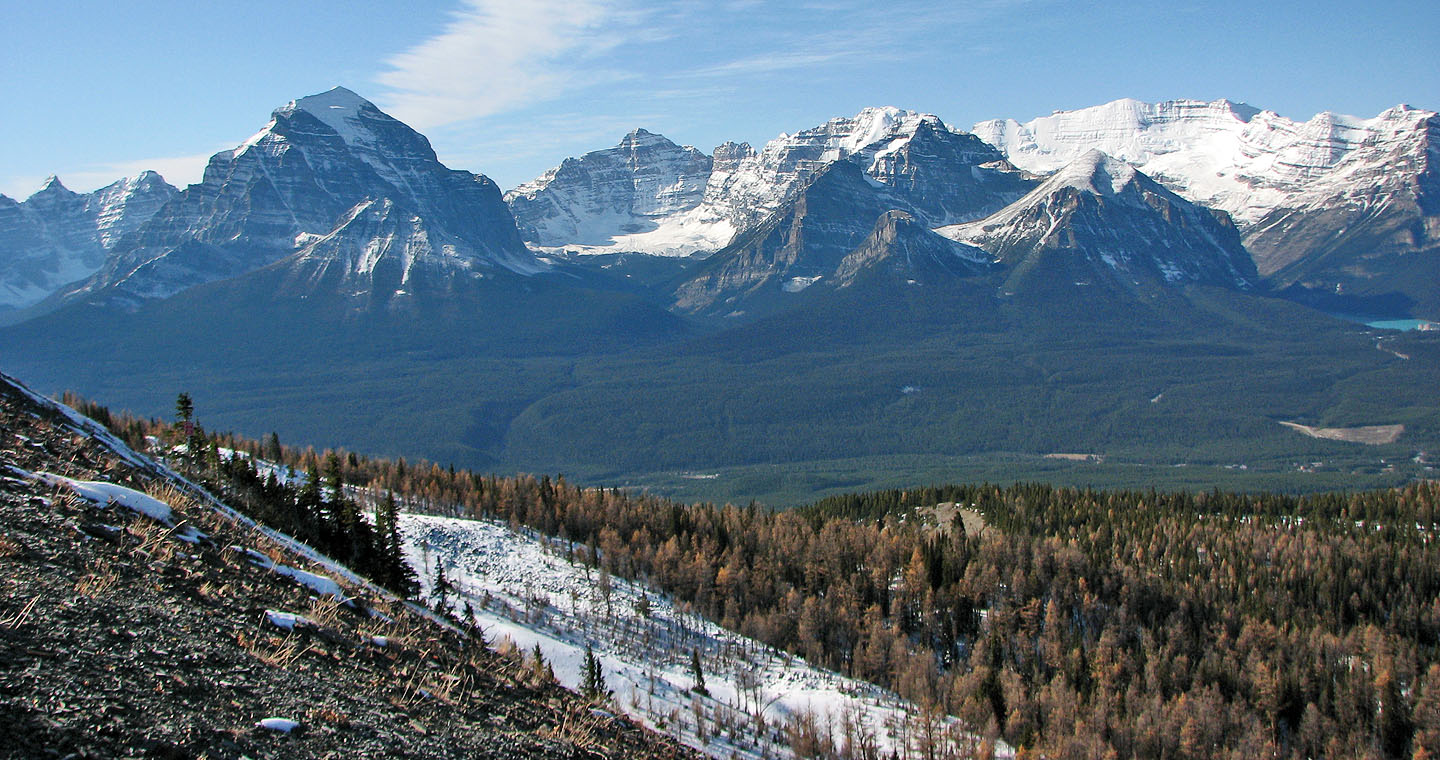
View to the southwest includes Mount Temple (left)
Dinah headed up a shallow gully while I followed the ridge
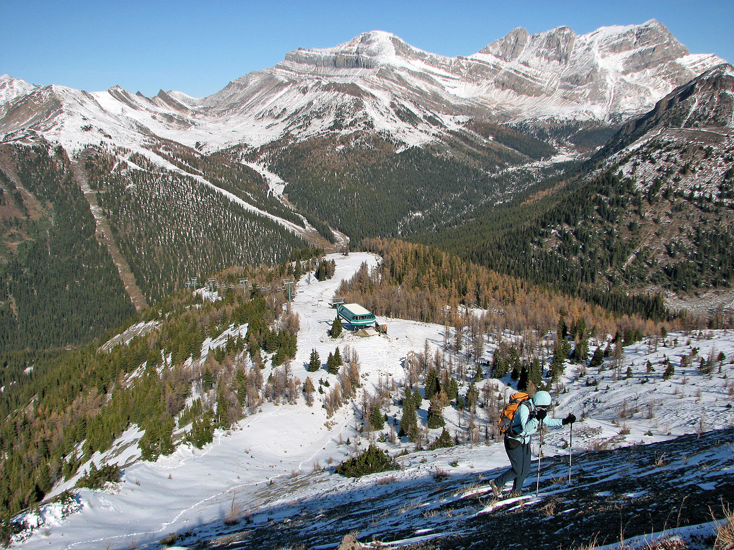
Looking back at the chairlift
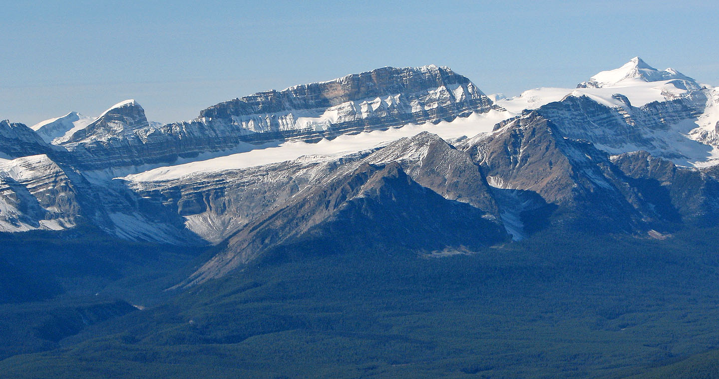
Mount Redoubt in the background.
Wolverine Ridge in the foreground.
Whitehorn behind us
We found there was vast boulder field hidden behind the ridge
Lake Louise from the gully
Negotiating the boulders
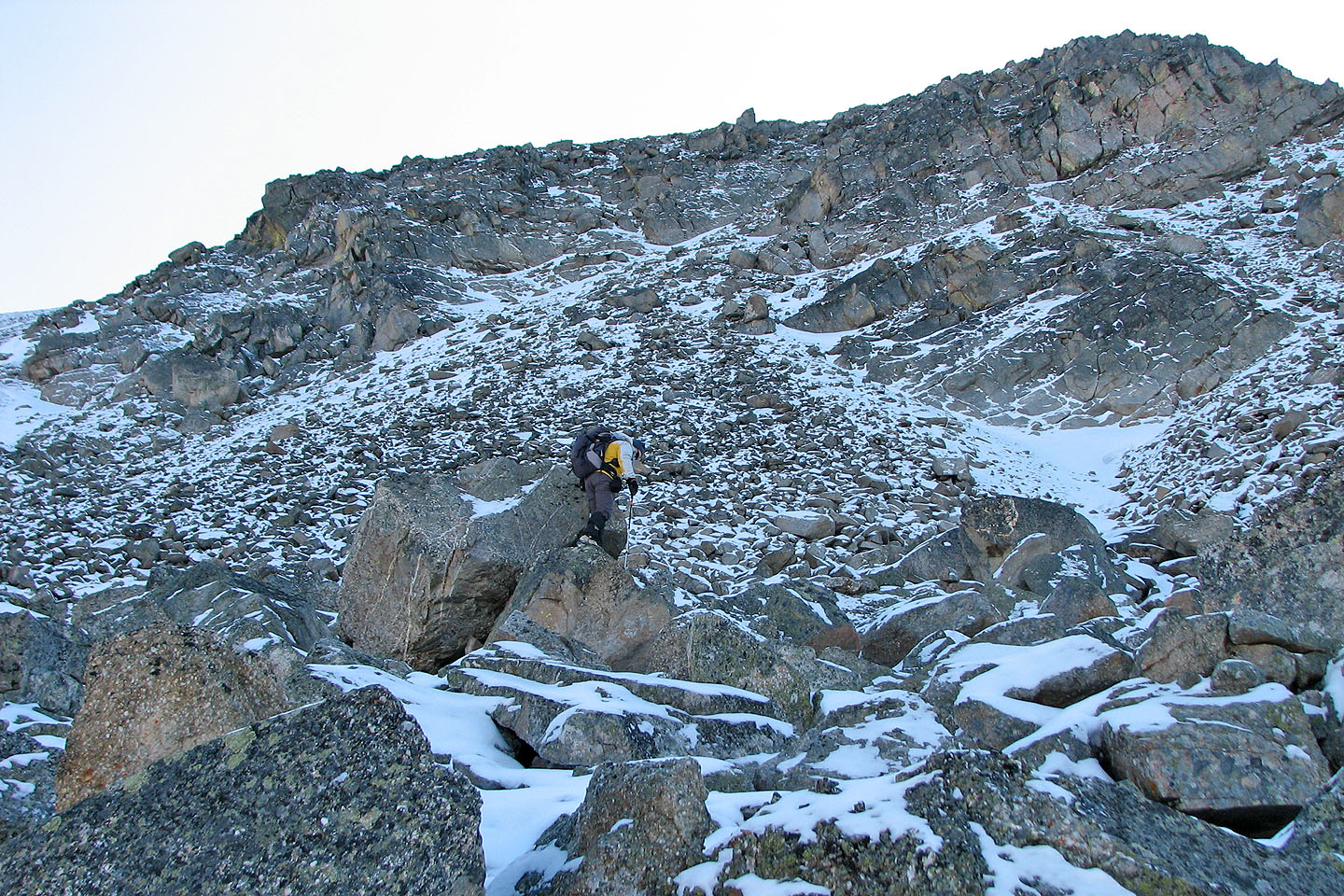
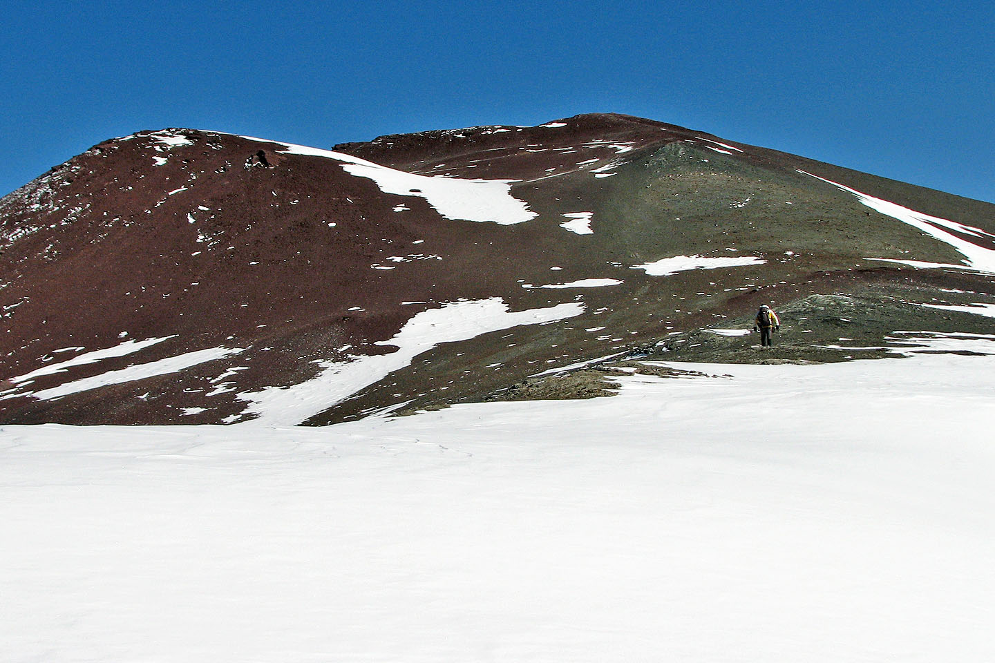
The boulder field is unexpectedly huge
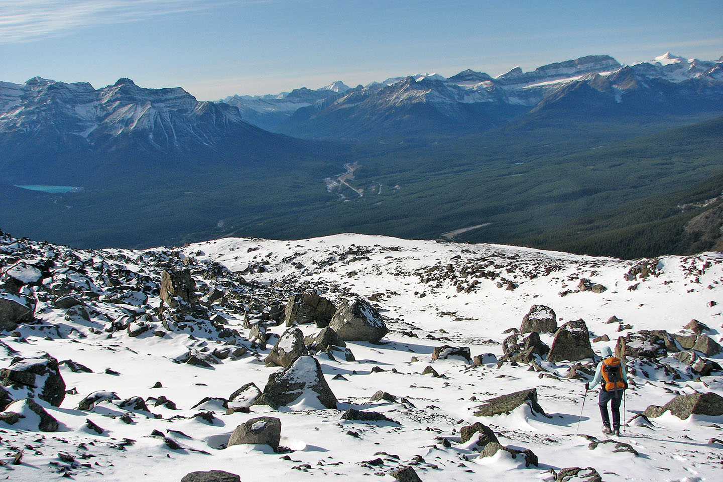
After emerging from the boulders we realized we could have avoided them by going left
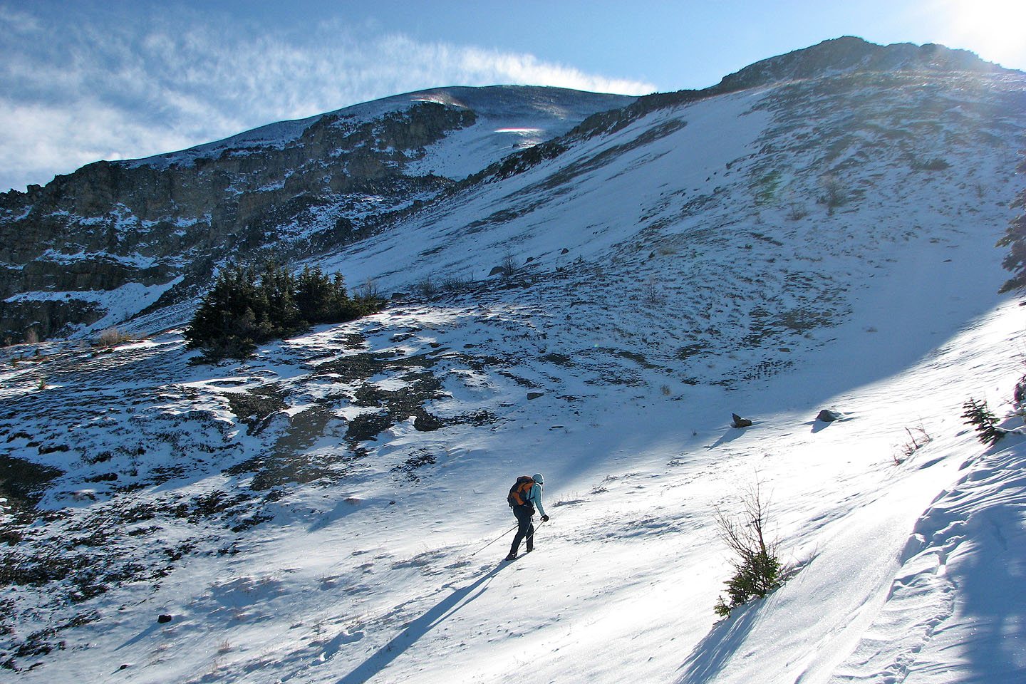
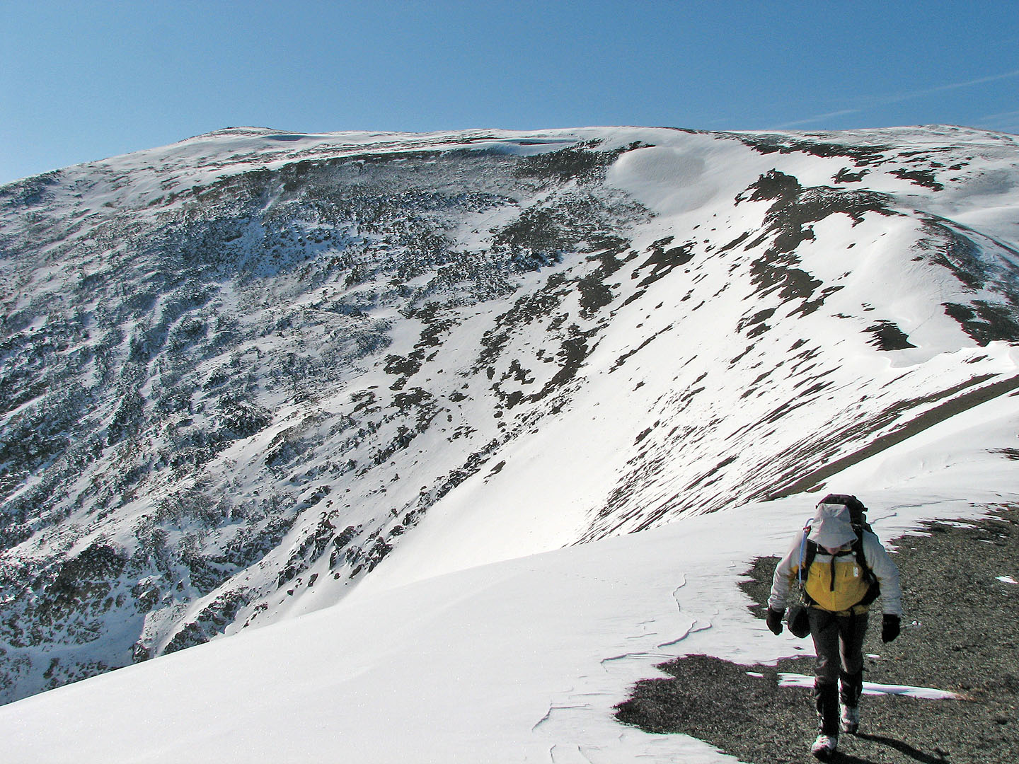
Heading up scree
The scree slope levels off
Tilted Mountain on the skyline (centre left).
Unity Mountain and Purple Peak in the foreground.
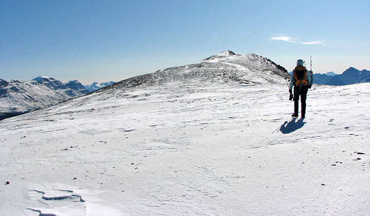
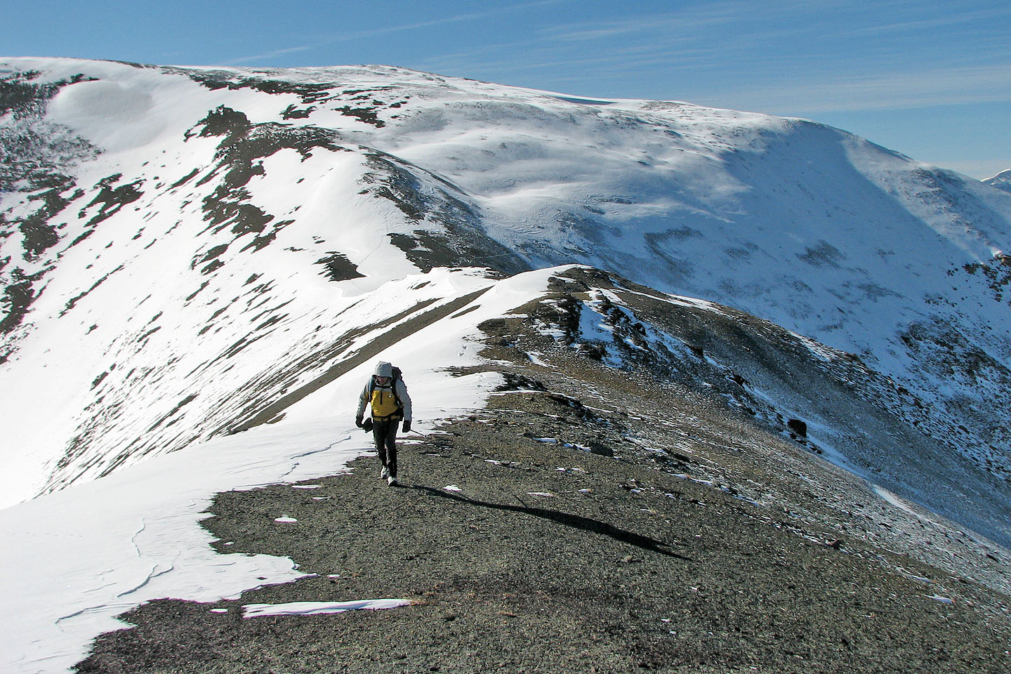
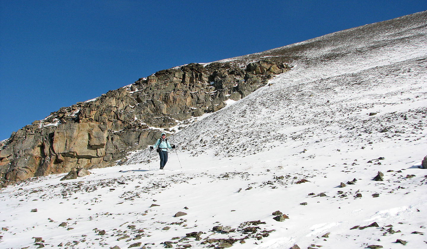
The summit of Lipalian ahead
Ridgewalk to the summit (mouse over to look back)
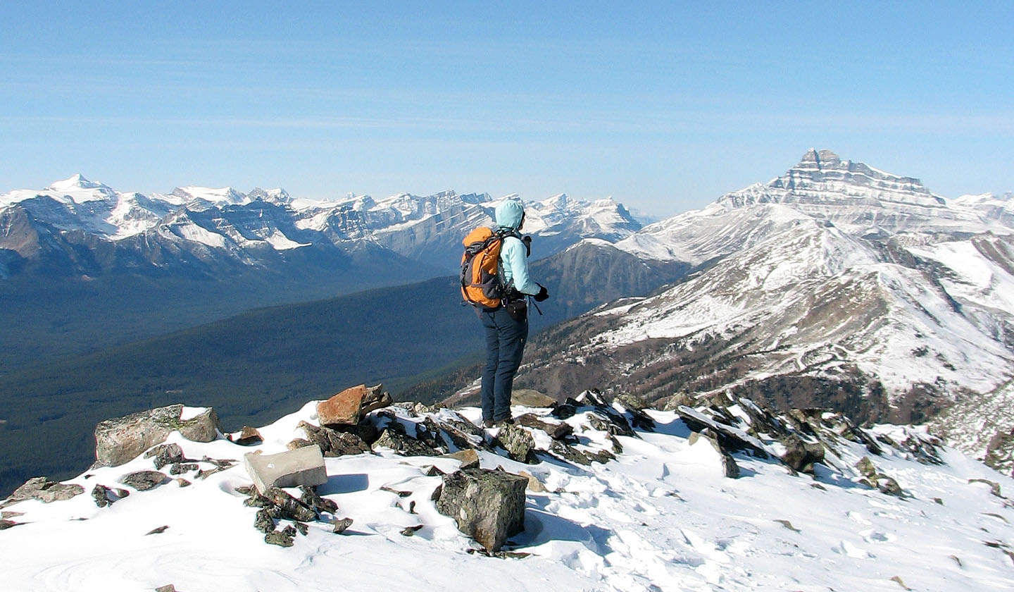
On the summit
Mount Niles,
Mount Daly and Mount Balfour
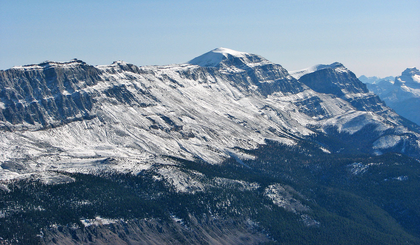
Television Peak (centre)
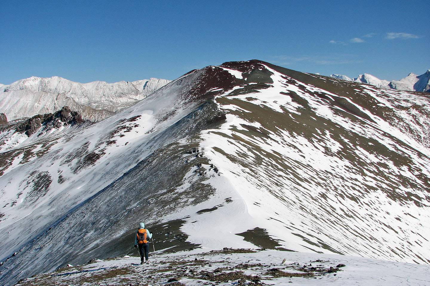
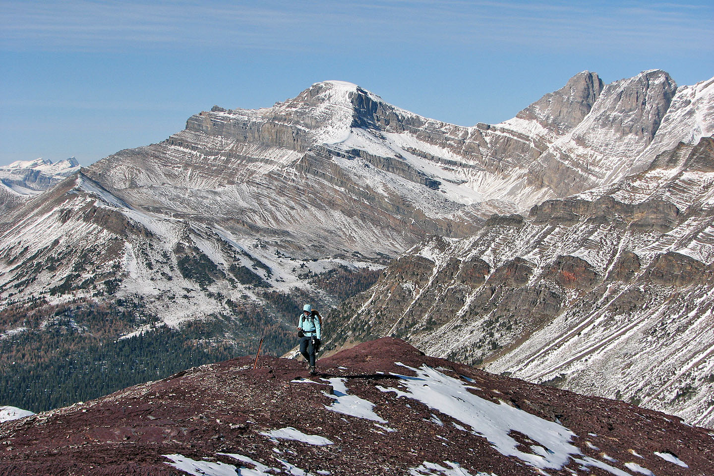
Heading to Purple Peak
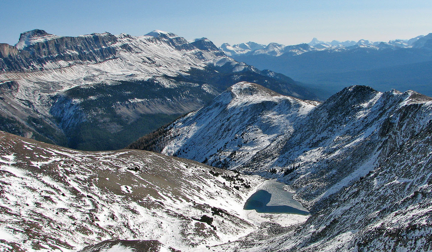
Tarn below Lipalian
Enjoyable walk along the ridge
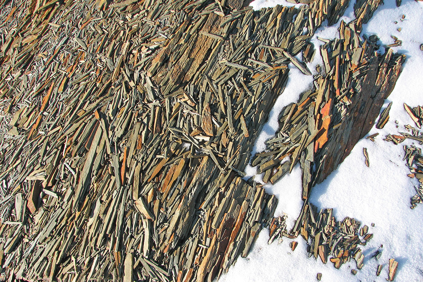
The scree under our boots comprised of fine, splintered rocks
Looking back at Lipalian Mountain
Purple Peak ahead (mouse over to look back)
Mount Richardson and Pika Peak seen from the
summit of Purple Peak
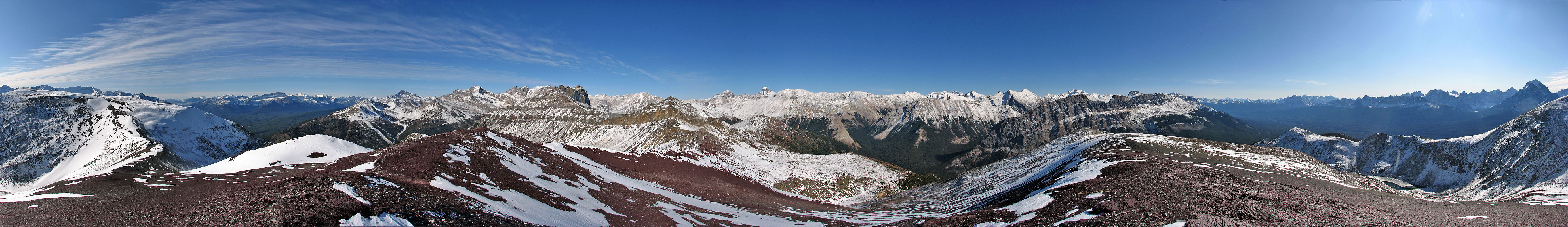
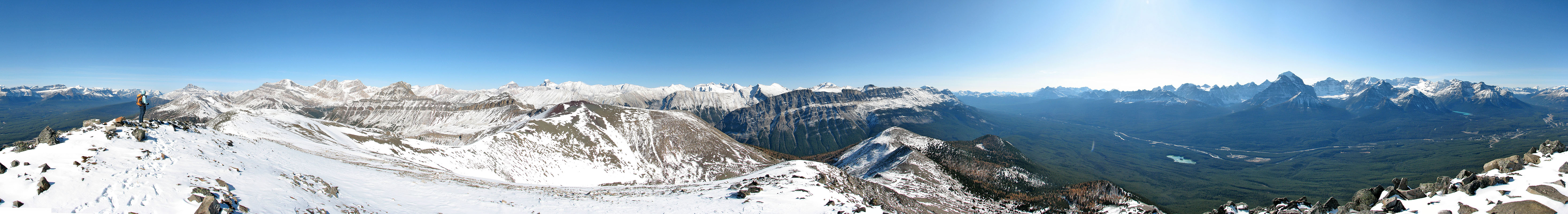
Panorama from Purple Peak
Mount Redoubt (mouse over for a close up) and Unity
Mountain in the foreground
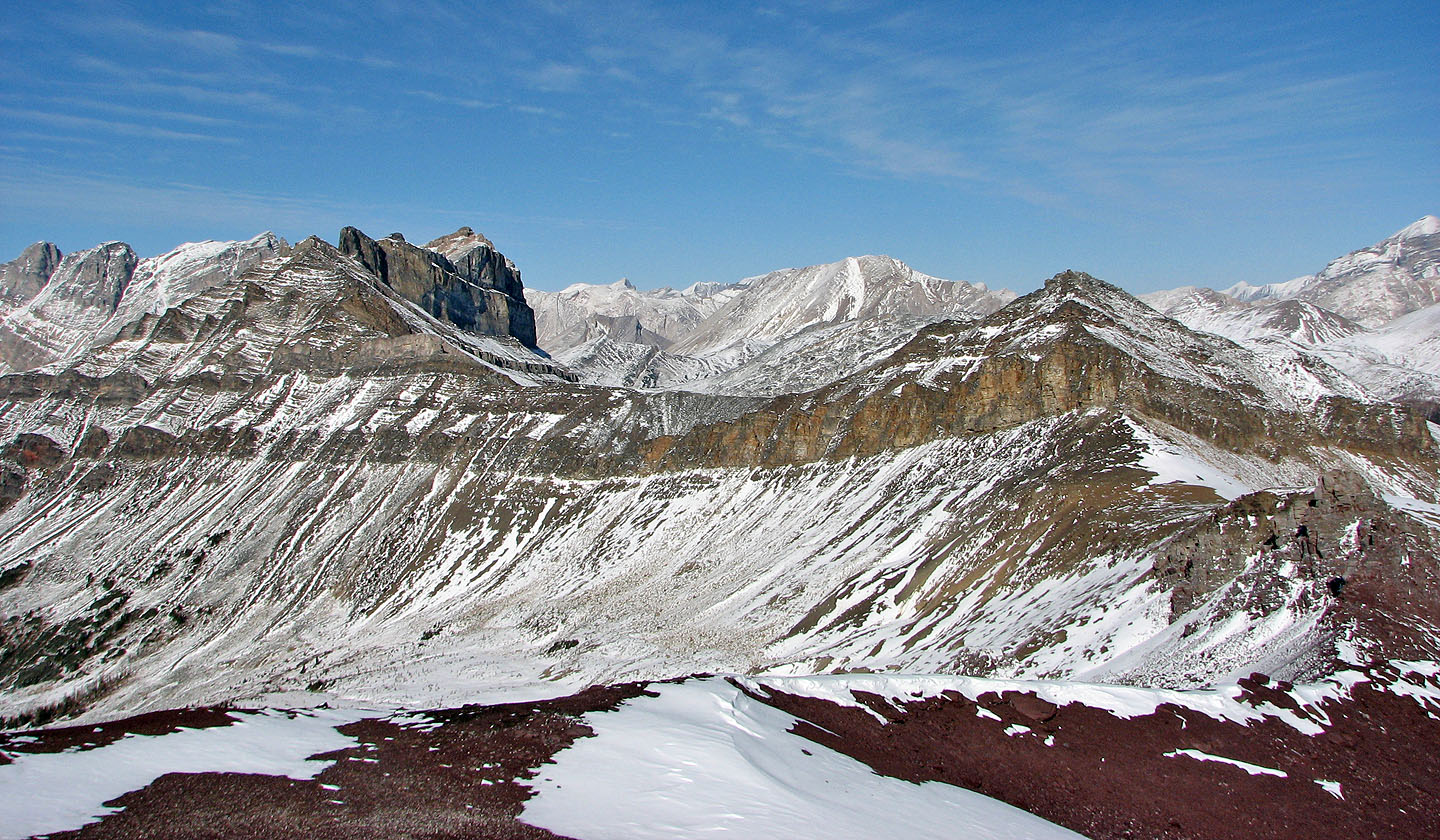
Back on Lipalian, Protection Mountain fills the background
We passed a cornice of old snow
Taking a trail down the scree
Reaching the bottom of the scree slope
We bypassed the boulder field on the right
Easy travel here, but we still have to negotiate rocky terrain below this
Looking back at the boulder field
Back on the ski-out
82 N/8 Lake Louise