bobspirko.ca | Home | Canada Trips | USA Trips | Hiking | Snowshoeing | MAP | About
Television Peak and Stuart Knob
Banff National Park, Alberta
July 31, 2005
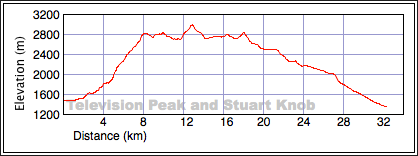
Distance: 32.4 km (20.1 mi)
Cumulative Elevation Gain: 2021 m (6631 ft)
I could see no easy way to bag Television Peak and Stuart Knob together regardless of our starting point, but at least traversing west to east avoided downclimbing the crux on the NW ridge of Television Peak. We opted to ascend Protection Mountain using an old mining trail that we had hiked four years earlier and then ascend the crux. That meant climbing TV Peak first and then Stuart Knob. Two days after covering 32 km to climb Mounts Brachiopod and Anthozoan, Dinah and I were ready to do another 32 km trip that encompassed TV Peak and Stuart Knob.
Two hours after starting, we reached the mine. From there we easily scrambled to the crest of Protection Mountain. We followed the ridge and then dropped down 100 m to the col. From the col, we started up the NW ridge of Television. At first the ridge was an easy scramble, but after getting within 170 vertical metres of the summit, it became difficult and exposed. Unfortunately Dinah found it unnerving so we backed down. We would have to find another way to get to Television Peak.
Our best route appeared to be up the Television's NE ridge. This would not be easy, as we had to drop down 250 m to the basin below and then negotiate snow and cliff bands on the lower slopes below the ridge.
As we hiked across the basin – called Wonder Valley – it appeared possible to ascend the ridge at a couple of places to get to TV Peak. The first involved crossing snow to reach a break in the cliff band. But after covering a couple of dozen metres, my pole broke through the snow to a hidden underground stream a few feet below. I quickly retreated.
Our second option eliminated crossing snow. There was a weakness in the cliff band that looked promising and after scrambling up it, we were on the gentle scree ridge leading to the summit.
Television Peak was rife with antennas making it one the most unattractive summits I've been on. But the views were impressive. After snapping a few photos, we went on our way. Bagging Television Peak had taken far too long – five and a half hours – and we still had a long day ahead of us.
Much of the trip from Television Peak to Stuart Knob was an enjoyable amble. We dropped to the pleasant col between Television Peak and the unnamed peak (720904) where we replenished our water supply. From the col, we easily scrambled up a black rock band to gain the ridge. Here the wide, colourful ridge was like a highway, although it literally had its ups and downs. There were few clouds, so the clear skies allowed us to take in the beautiful mountain scenery all around us.
The trip from Television Peak to Stuart Knob was an uneventful hour-and-45-minute plod. After reaching the summit block, we scrambled up the final few metres on the west side, a popular route by the looks of it. The summit itself offered limited seating, but it mattered little as we couldn't stay long.
After leaving the summit, we followed the ridge south to the base of the summit block before dropping down to a plateau above the basin. The good scree near the bottom was a welcome relief from the loose rock higher up.
I was now concerned with finding a way down a cliff band that separated us from the huge basin. There was no easy way to spot a break, so we contoured left along the top of the cliff band before finally finding a breach. In a short time, we were on the trail leading down to Rockbound Lake.
It was late in the day by now, and I was concerned about getting back to the car parked 12.5 km from the Rockbound Lake trailhead. I had stashed my road bike but being optimistic, I hadn't brought a bike light. I didn't relish riding in the dark.
Just before Tower Lake, though, we caught up to two guys around 60 years of age who were also heading back. We hoped to get a lift with them, but ironically they had parked 10 km down the road and anticipated getting a lift from us! They were on their way back from rock climbing.
So I was left with riding my bike. Leaving Dinah in the climbers' company, I decided to scoot ahead to get to my bike with what little daylight was left. As I hurried ahead down the trail, I expected Dinah to ease her pace. But she kept a brisk pace herself, and the two climbers laboured to keep up to her. They arrived at the trailhead ten minutes after I had jumped on my bike. My road bike quickly ate up the distance, and in 30 minutes I was at the car. After I drove back to Castle Junction, I learned one of the climbers had caught a ride to get his truck after hitchhiking for 50 minutes. Dinah got in my car and we arrived back in Calgary at midnight.
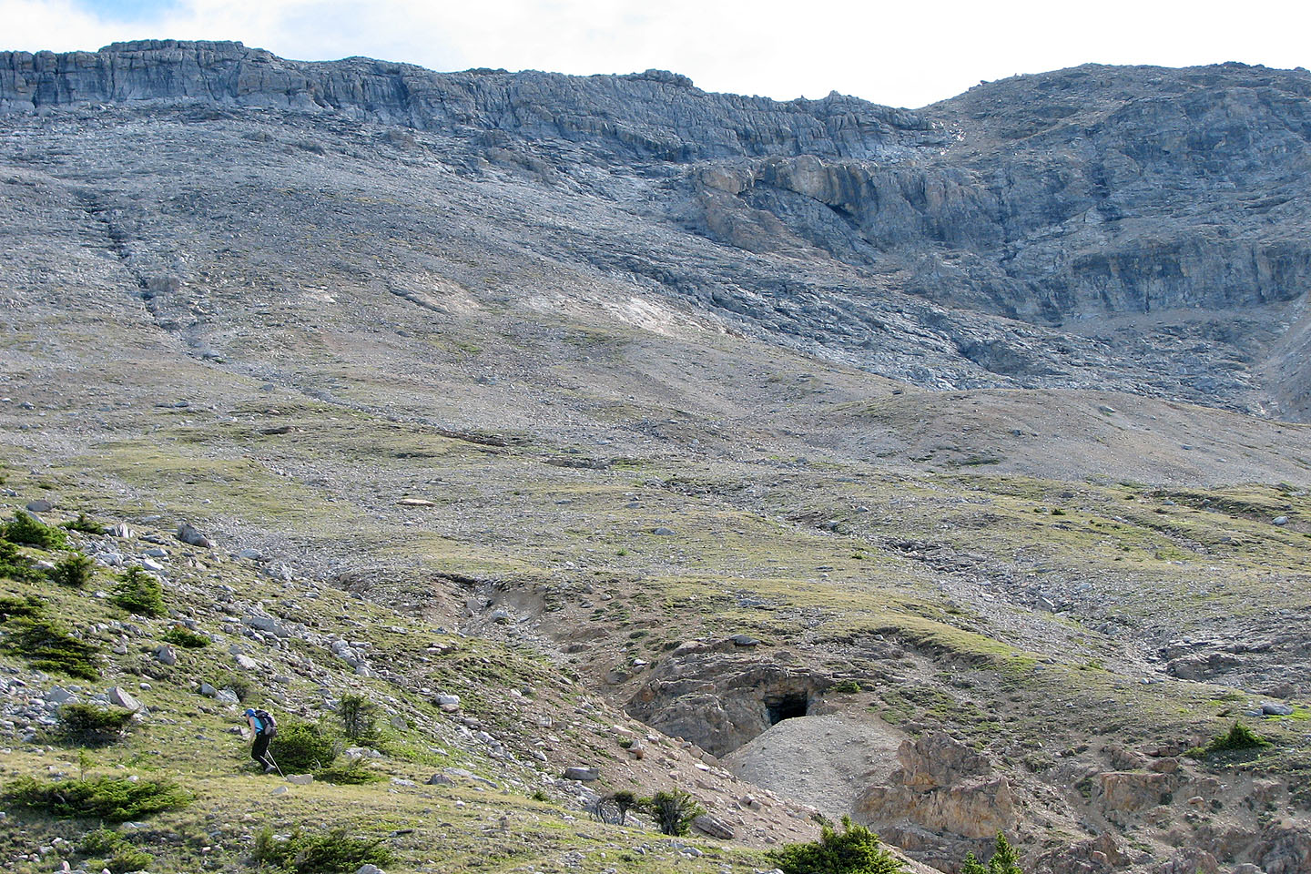
Dinah (lower left) hikes past Protection Mountain mine. From here, we angled right.
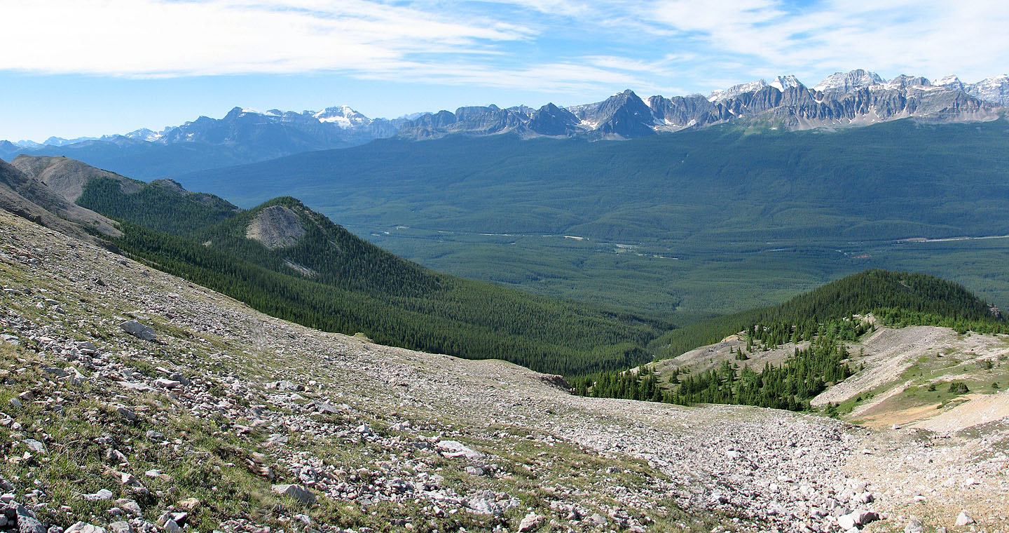
Looking back across Bow Valley
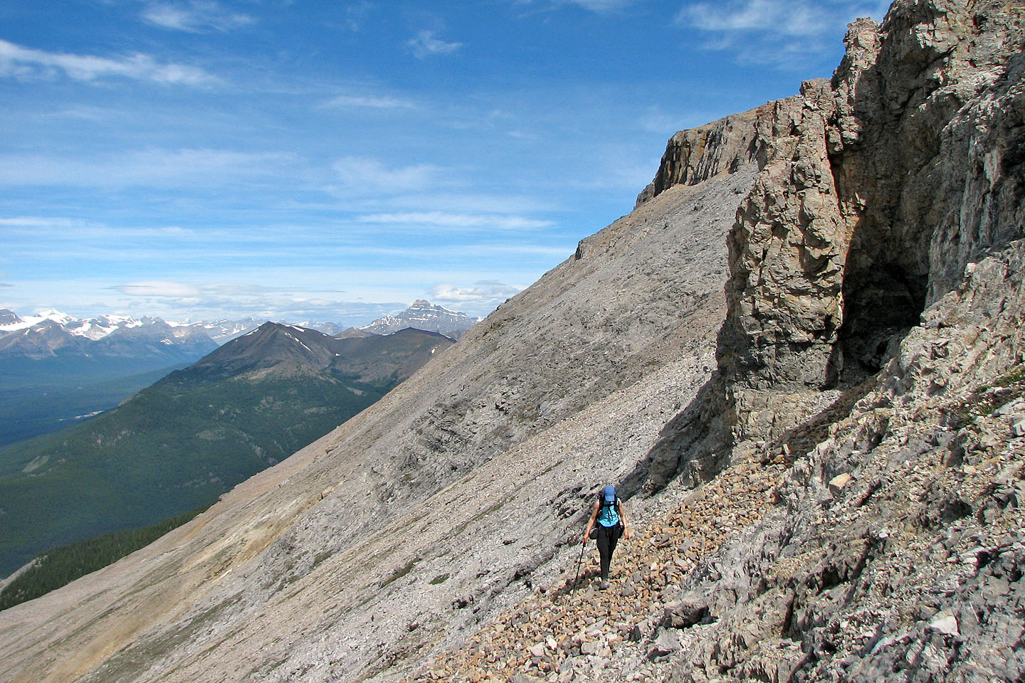
Hiking up the scree
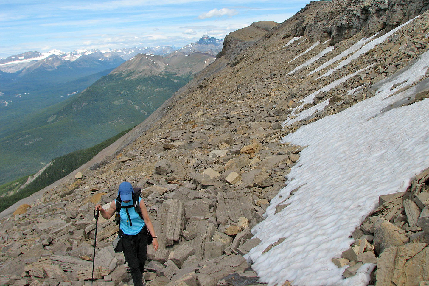
Behind us at the end of the ridge is Armour Peak
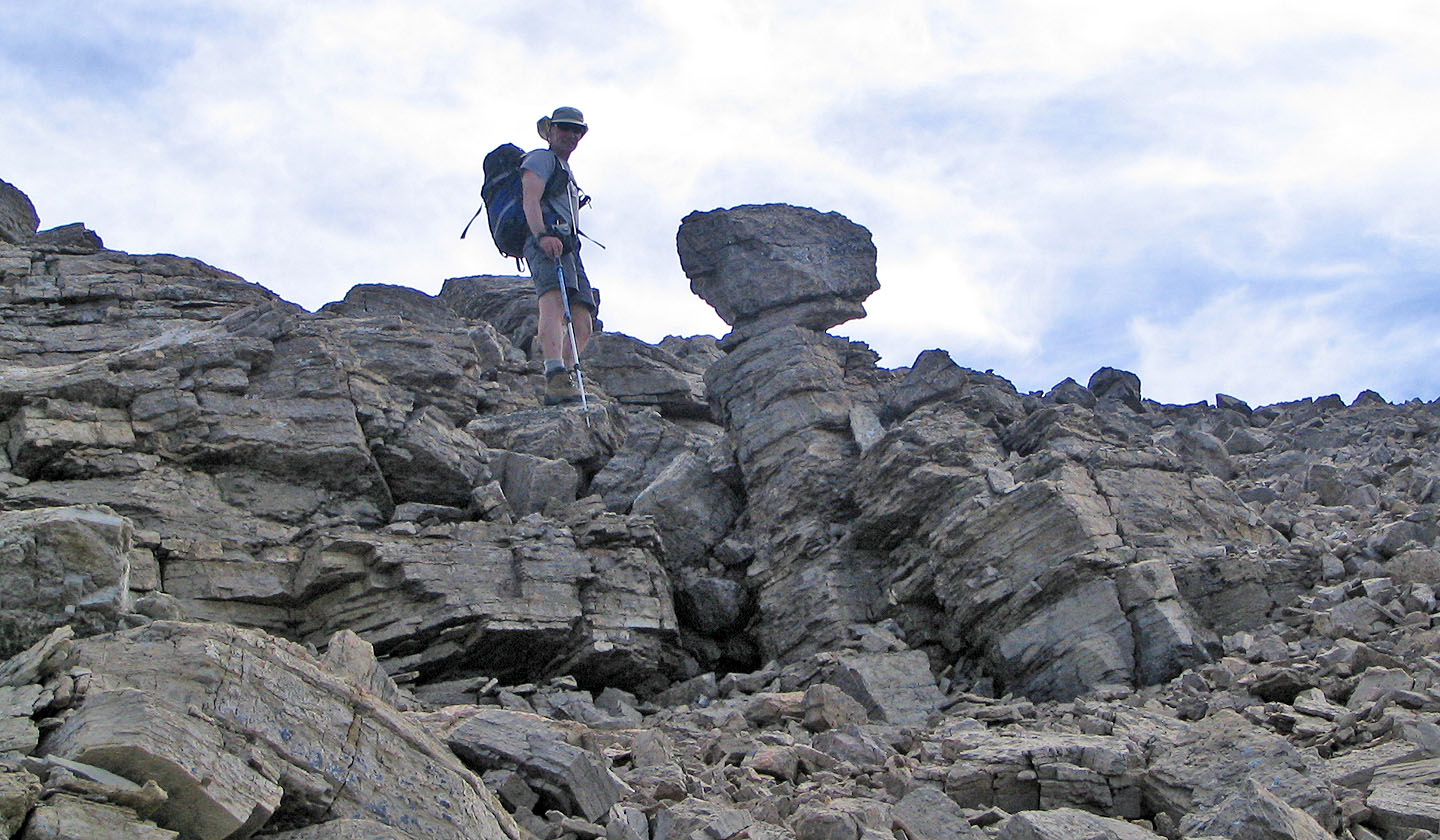
Near the ridge crest of Protection, we passed balancing rock
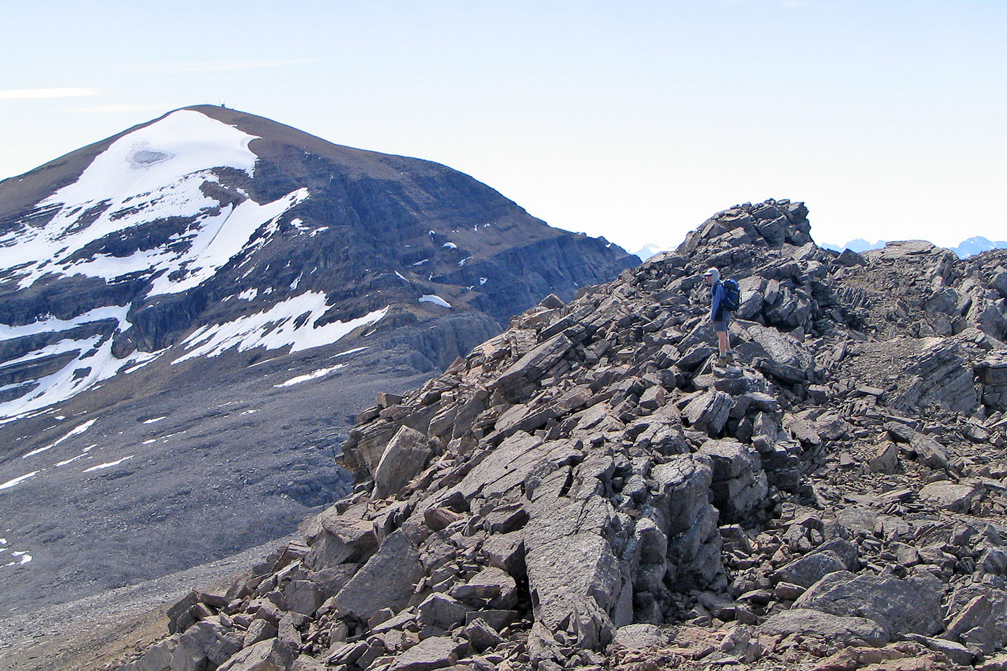
Television Peak and its NW ridge seen from Protection Mountain
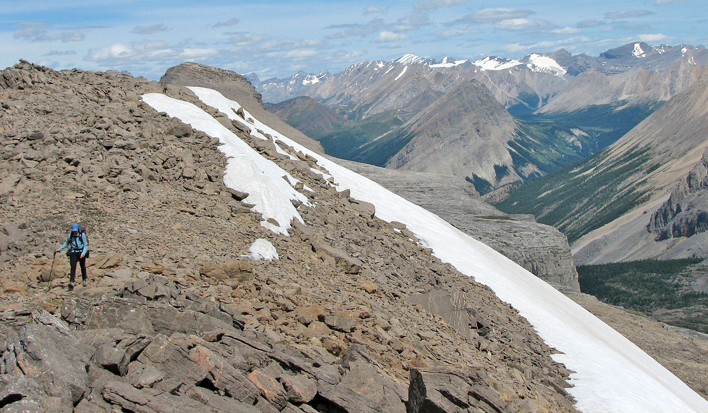
On the NW ridge of Television Peak. The snowless point is Anthozoan Mountain.
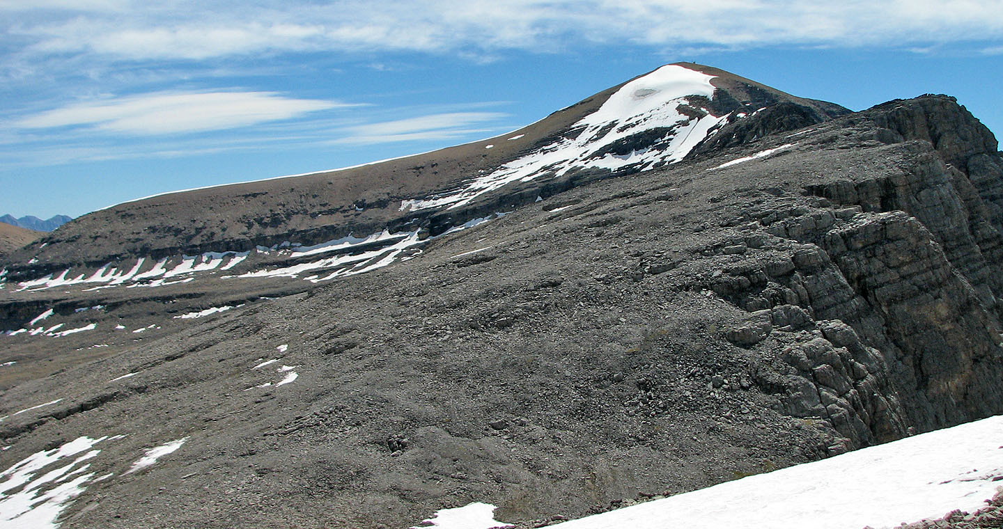
Television Peak: We ended up climbing the break in the snow below
and halfway along the NE ridge
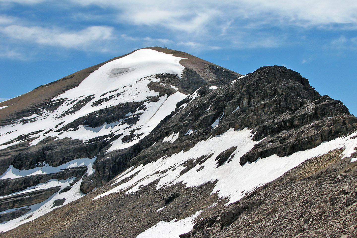
NW ridge leads to TV Peak
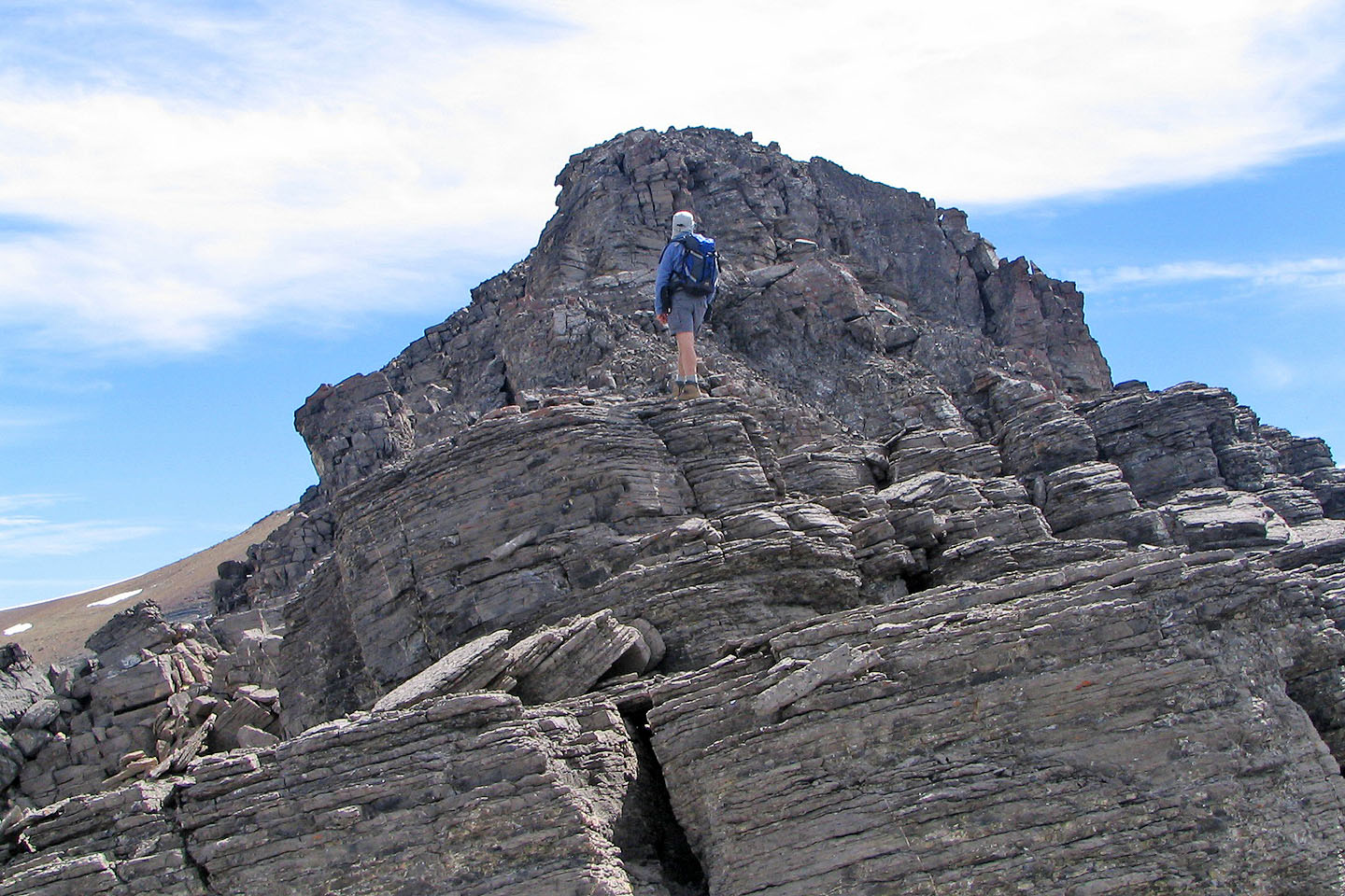
We soon turned around after this point
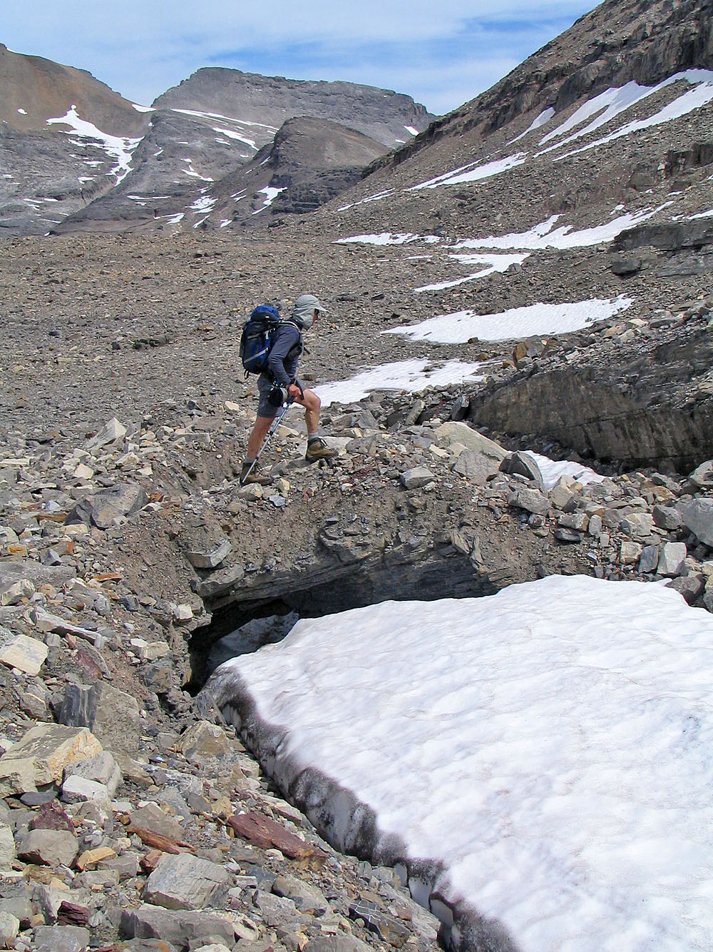
In Wonder Valley, I crossed a "bridge" spanning the snow
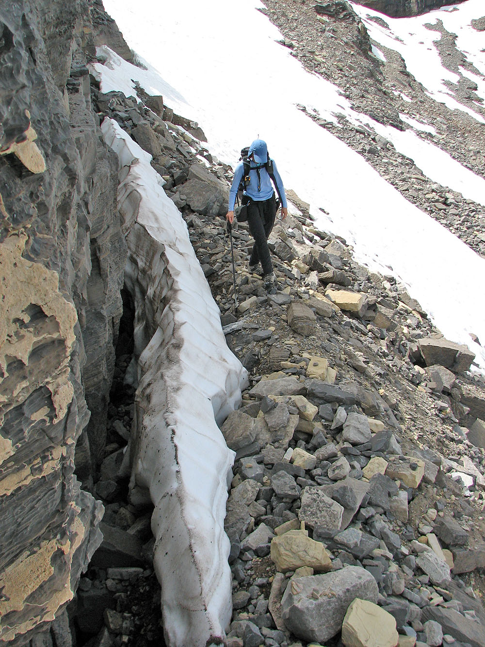
We left the basin behind to gain the ridge
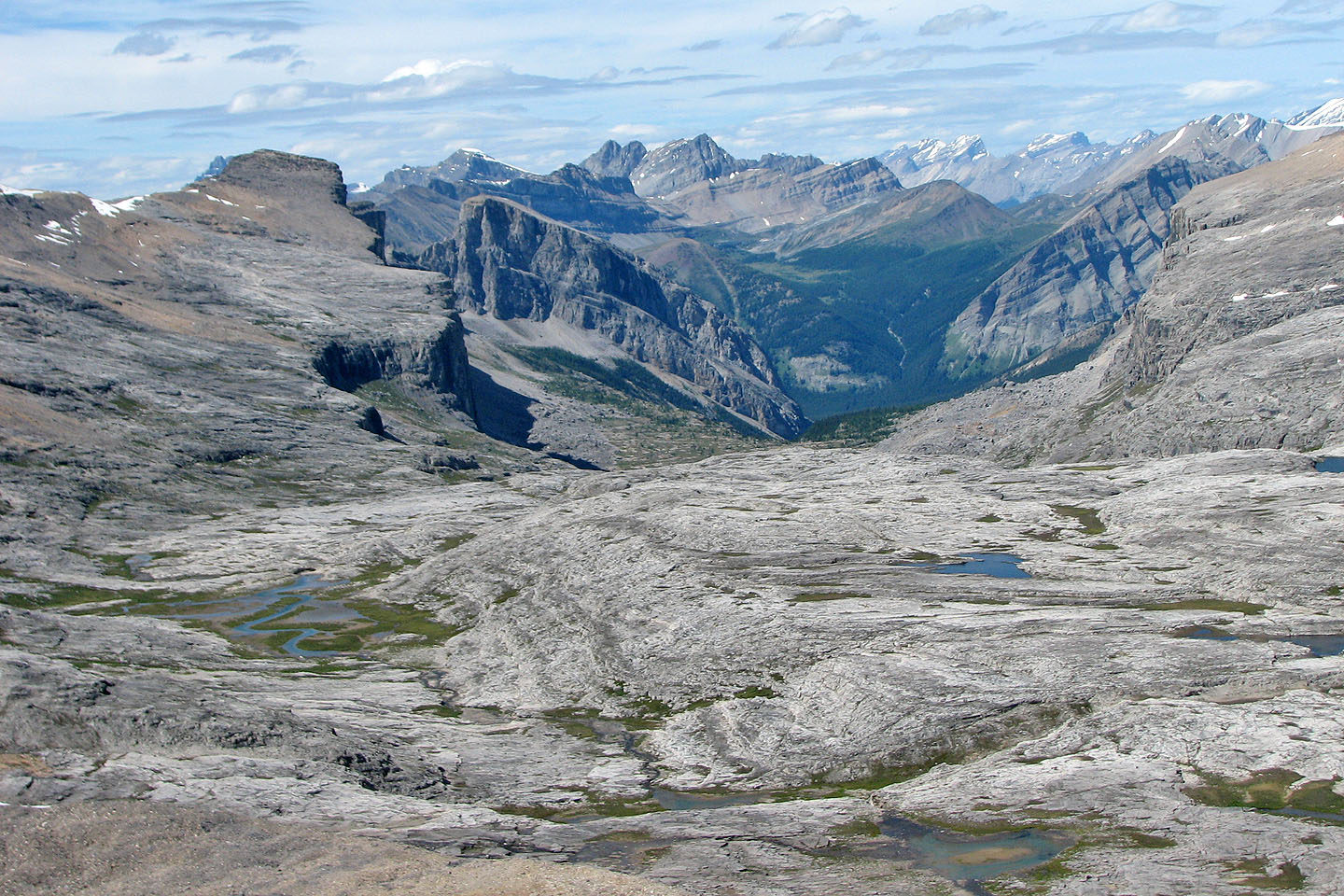
View of Wonder Valley northwest of Television Peak
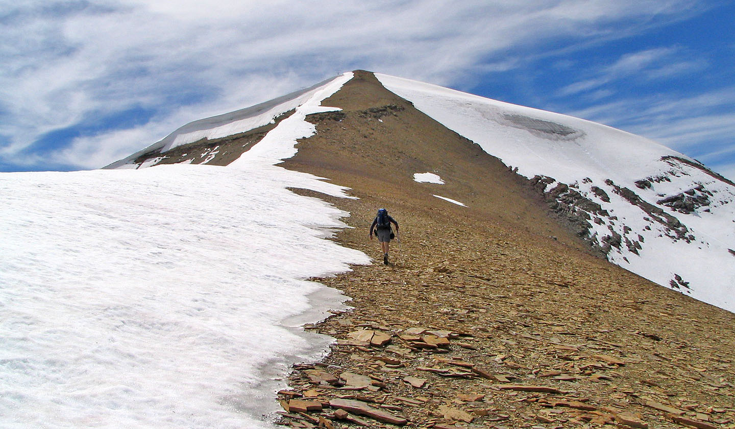
Strolling to the top of Television Peak
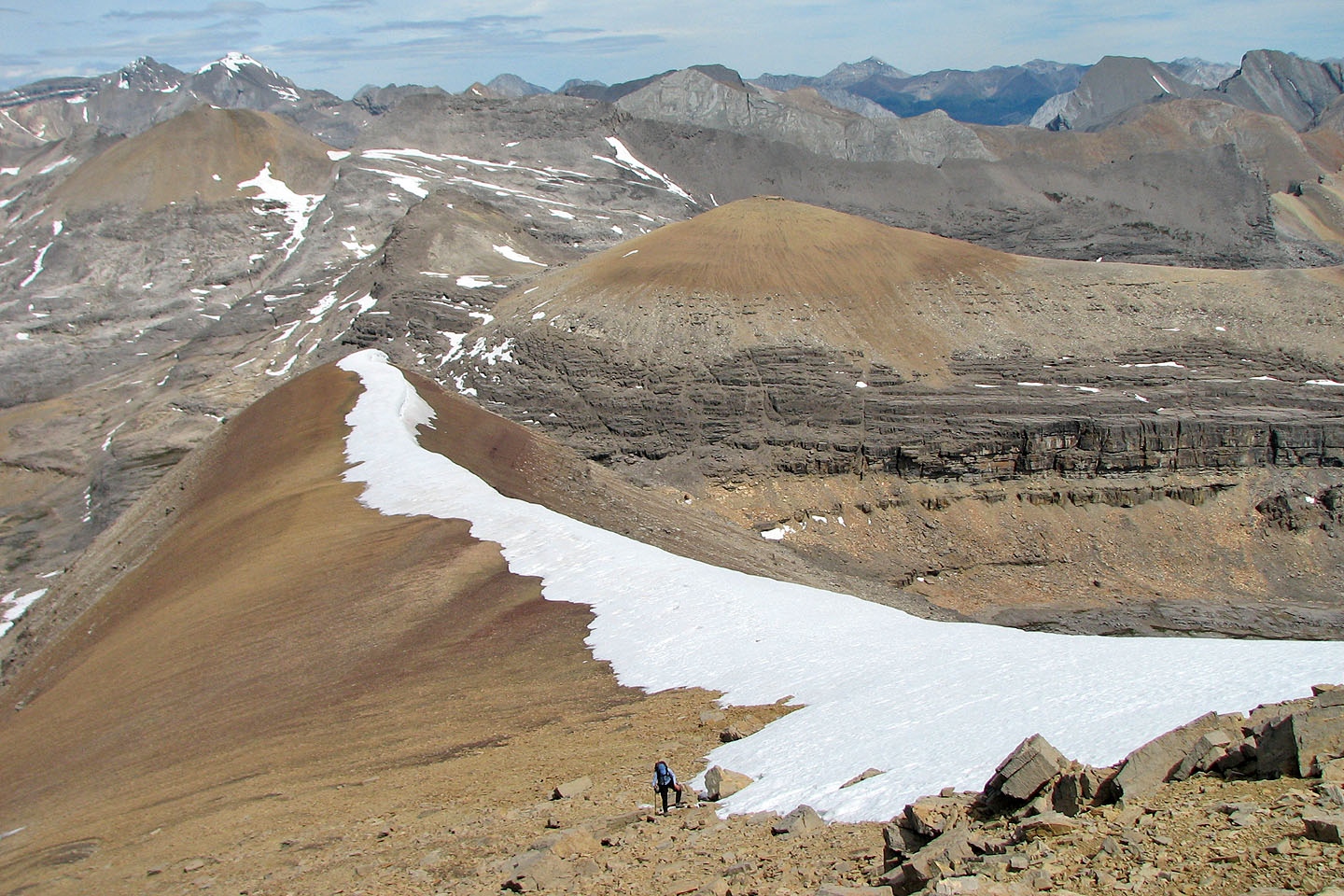
Looking back. Later, we'll climb the black rock band to gain the ridge above the col.
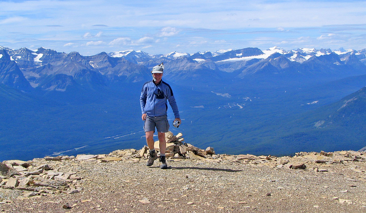
On the summit. Mount Daly to the right (mouse over for close-up)

Plenty of antennas yet no TVs on the summit of Television Peak
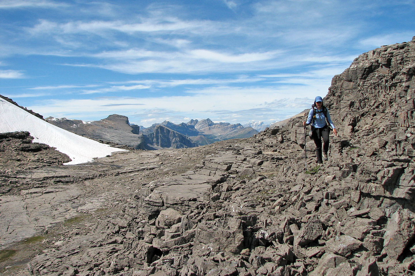
Leaving the col at Television and the unnamed peak at 720904
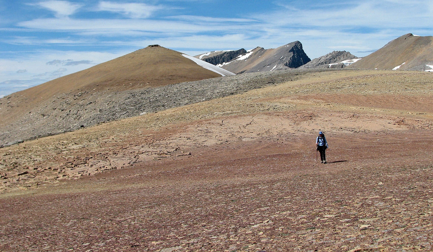
Following the broad ridge to Stuart Knob
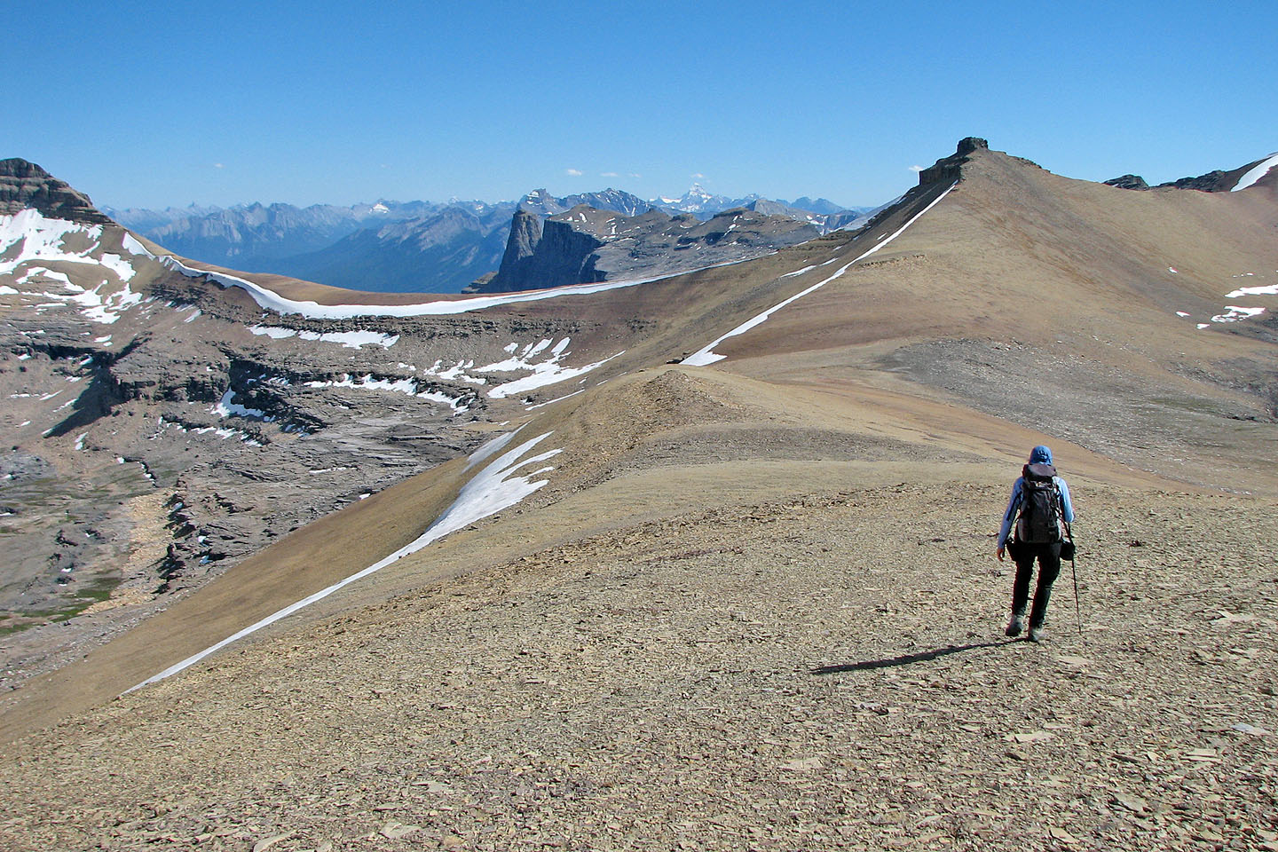
Stuart Knob certainly looks like knob
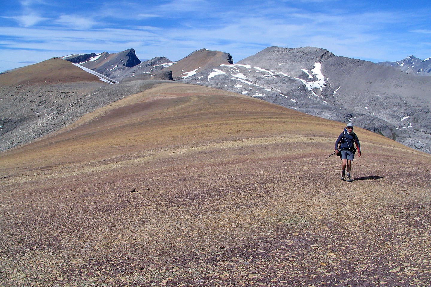
A ridgewalk doesn't come easier than this!
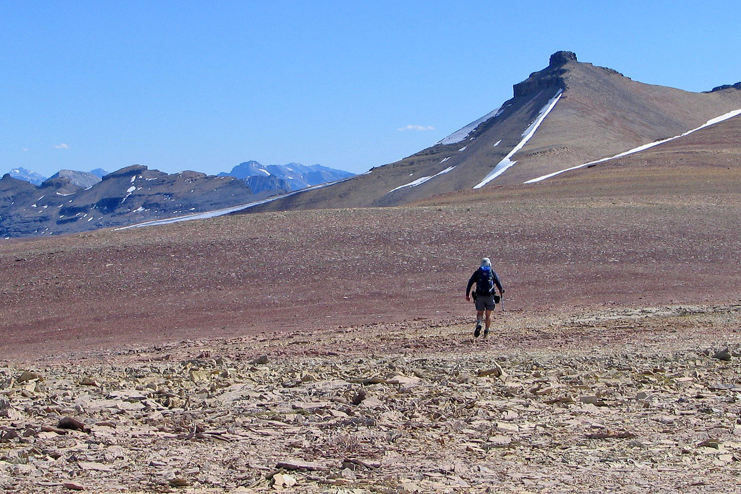
Approaching Stuart Knob
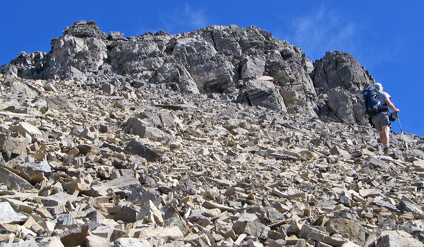
Below the summit block: we scrambled up the chimney on the left
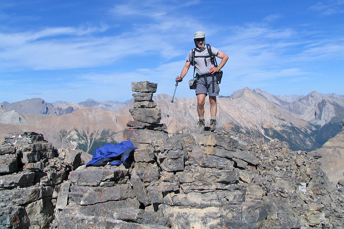
Is anyone missing a blue down jacket on Stuart Knob? Apparently someone left it behind.
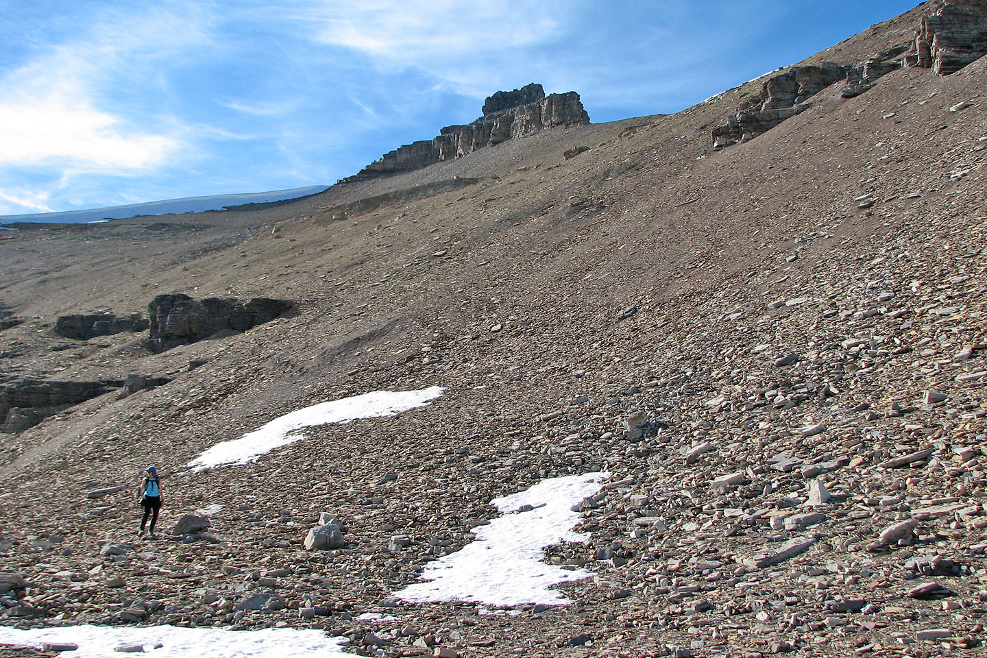
Coming down the scree below Stuart Knob
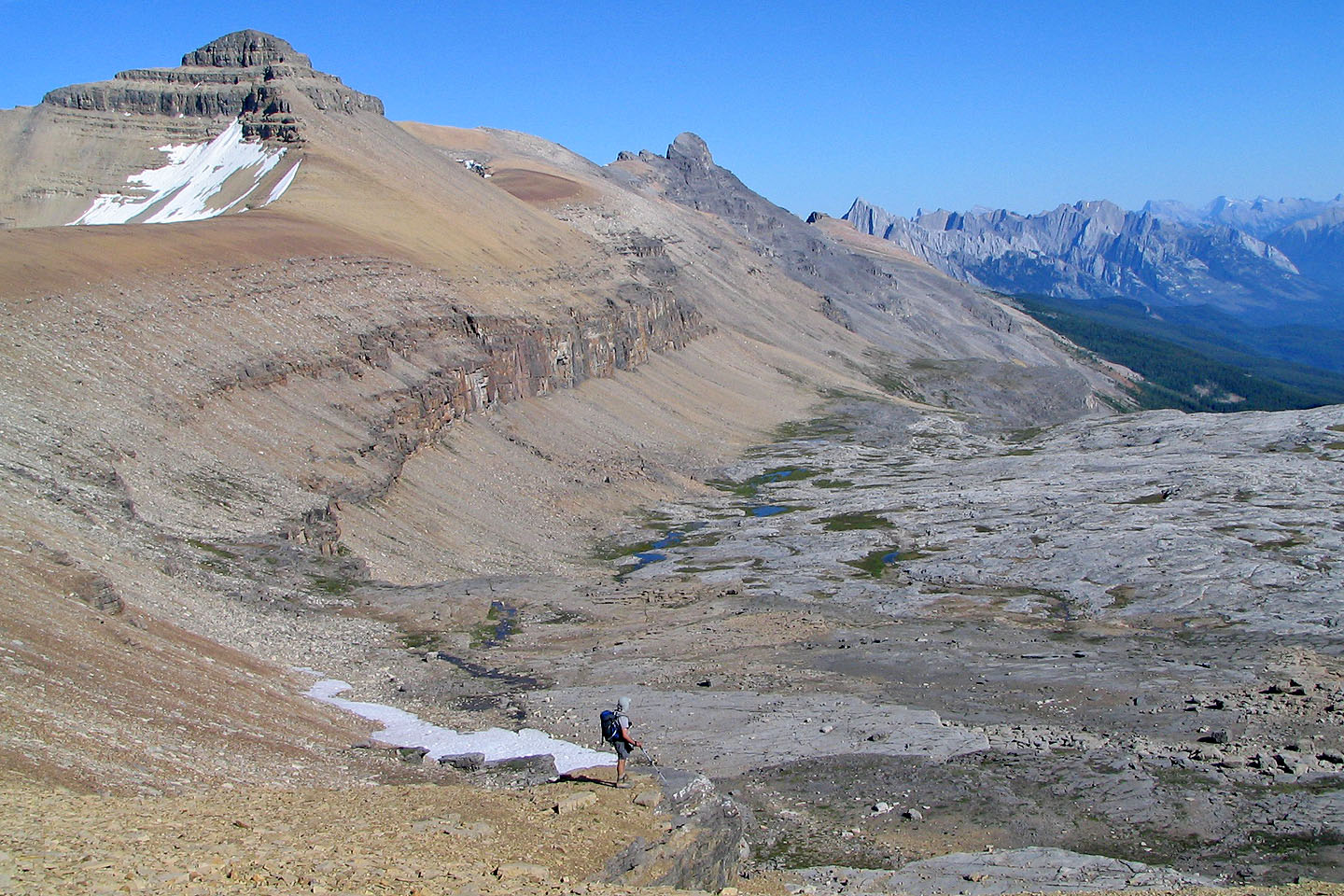
Helena Ridge overlooks the basin
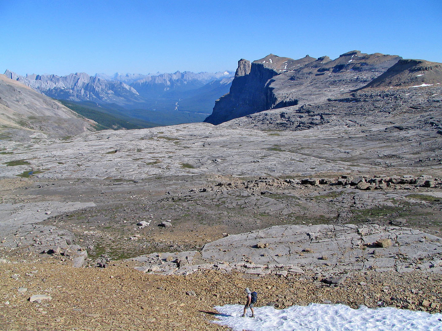
Castle Mountain on the right
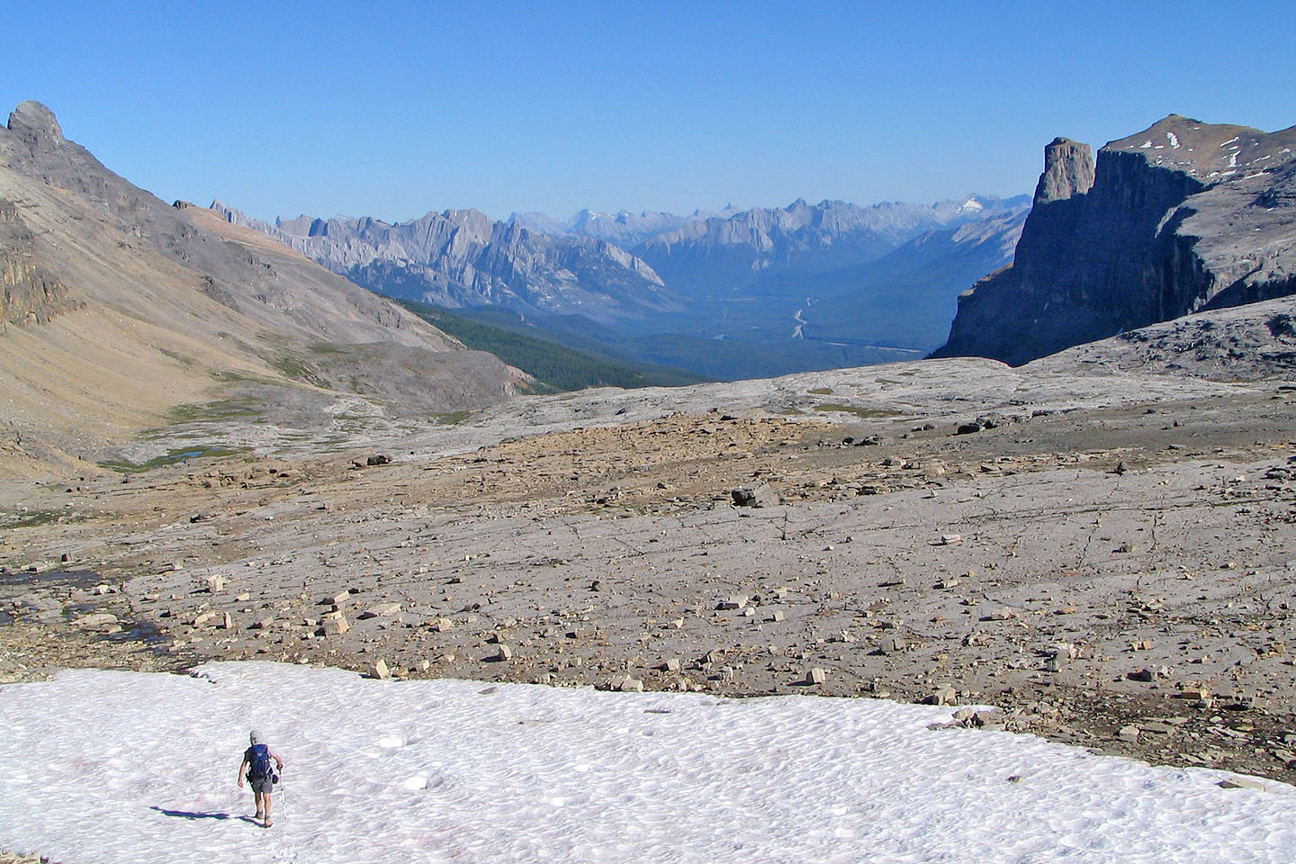 Here the basin is incredibly flat
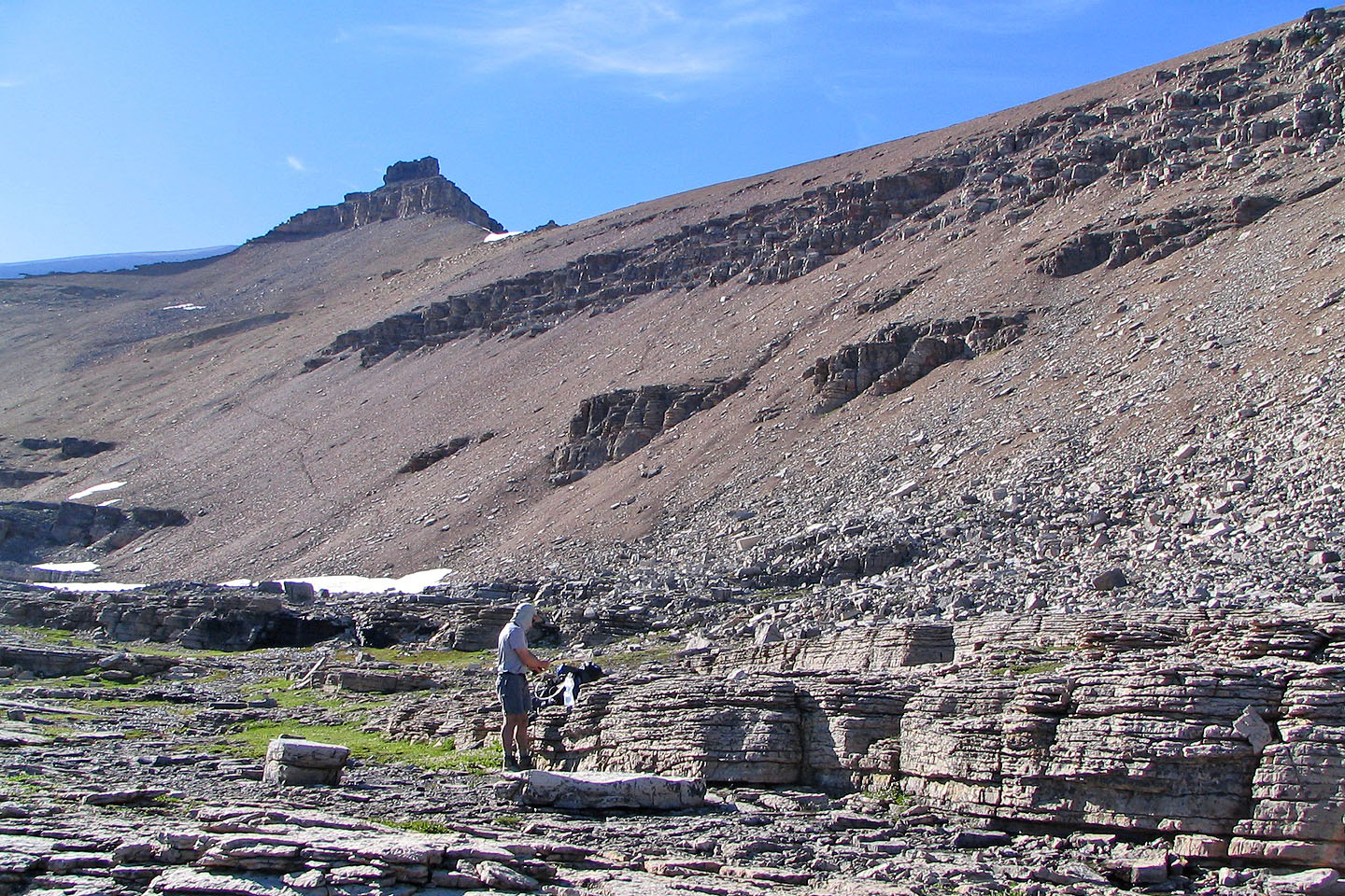
From the basin looking back at Stuart Knob. Note the trail below it.
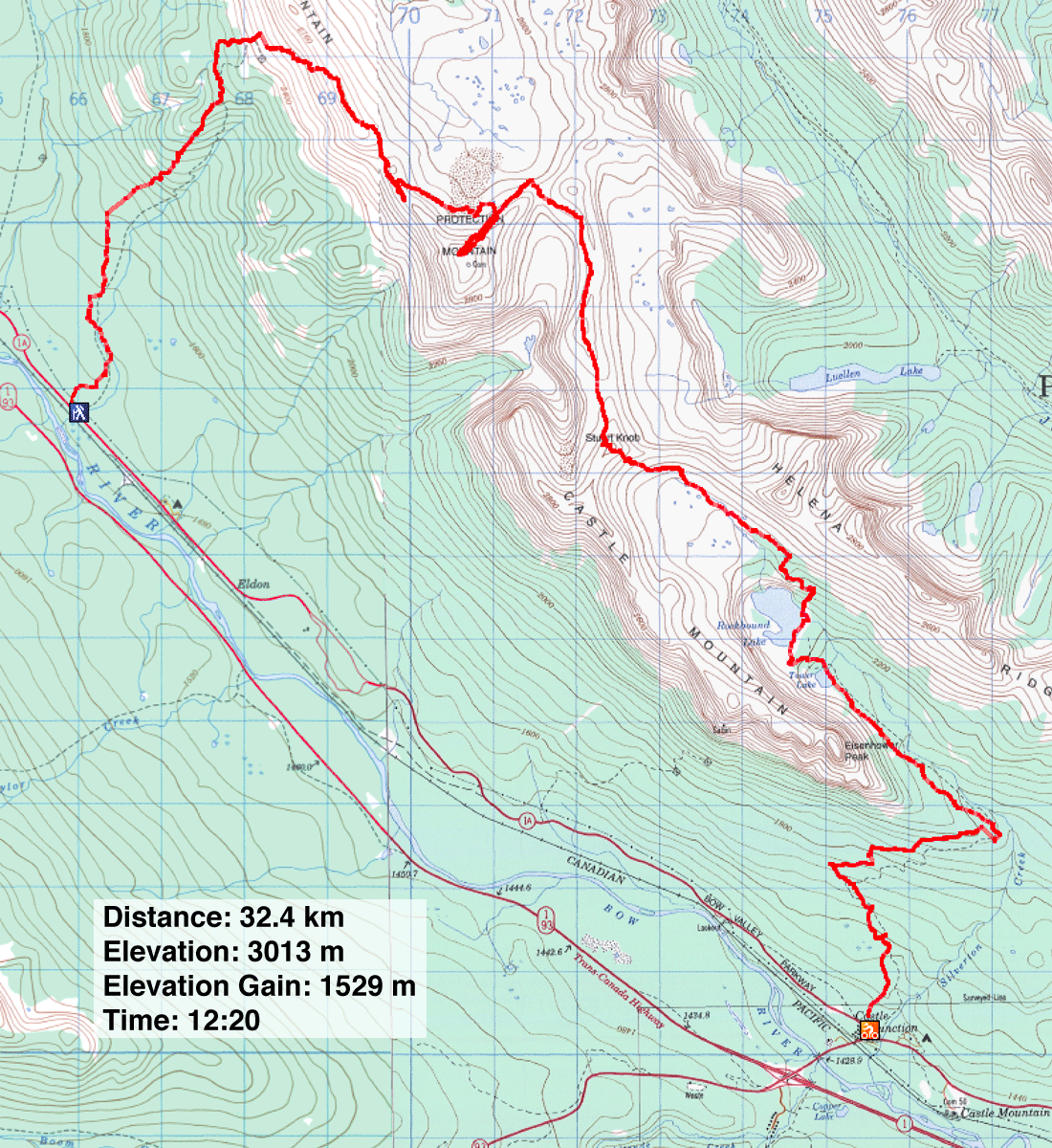
82 N/8 Lake Louise, 82 O/4 Castle Mountain
