bobspirko.ca | Home | Canada Trips | US Trips | Hiking | Snowshoeing | MAP | About
Mount Niles
Yoho National Park, B.C.
August 14, 2004
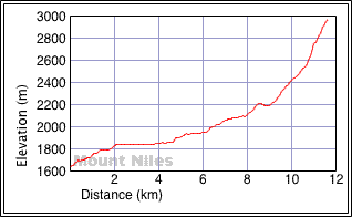
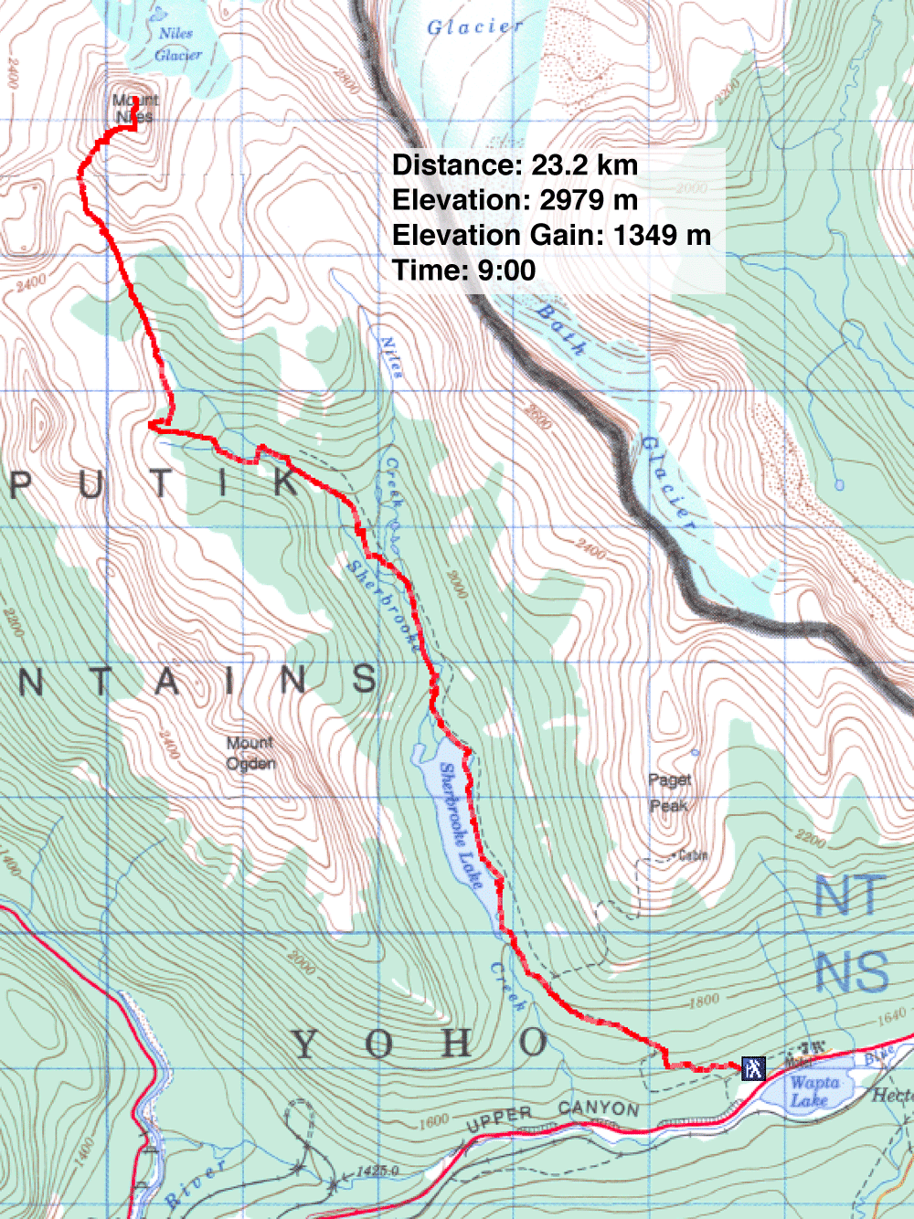
Distance: 23.2 km (14.4 mi)
Cumulative Elevation Gain: 1368 m (4488 ft)
Mount Niles takes advantage of the long, pleasant trail that reaches Niles Meadows. It runs by Sherbrooke Lake first before ending in the meadows. After the meadows, we hiked up a drainage. At the top, we could see our next objective: a huge pinnacle on the skyline. From it, we easily scrambled up the west slopes of Mount Niles to the summit. The alpine views were stunning and made it worthwhile. It was a beautiful, warm day. Sonny, Frank, Dinah and I spent nearly an hour on the summit.
The heat on the return leg took its toll on us, however. Most of us developed headaches, and we were forced to slow our pace. Back at the car, we found it was 30°.
KML and GPX Tracks
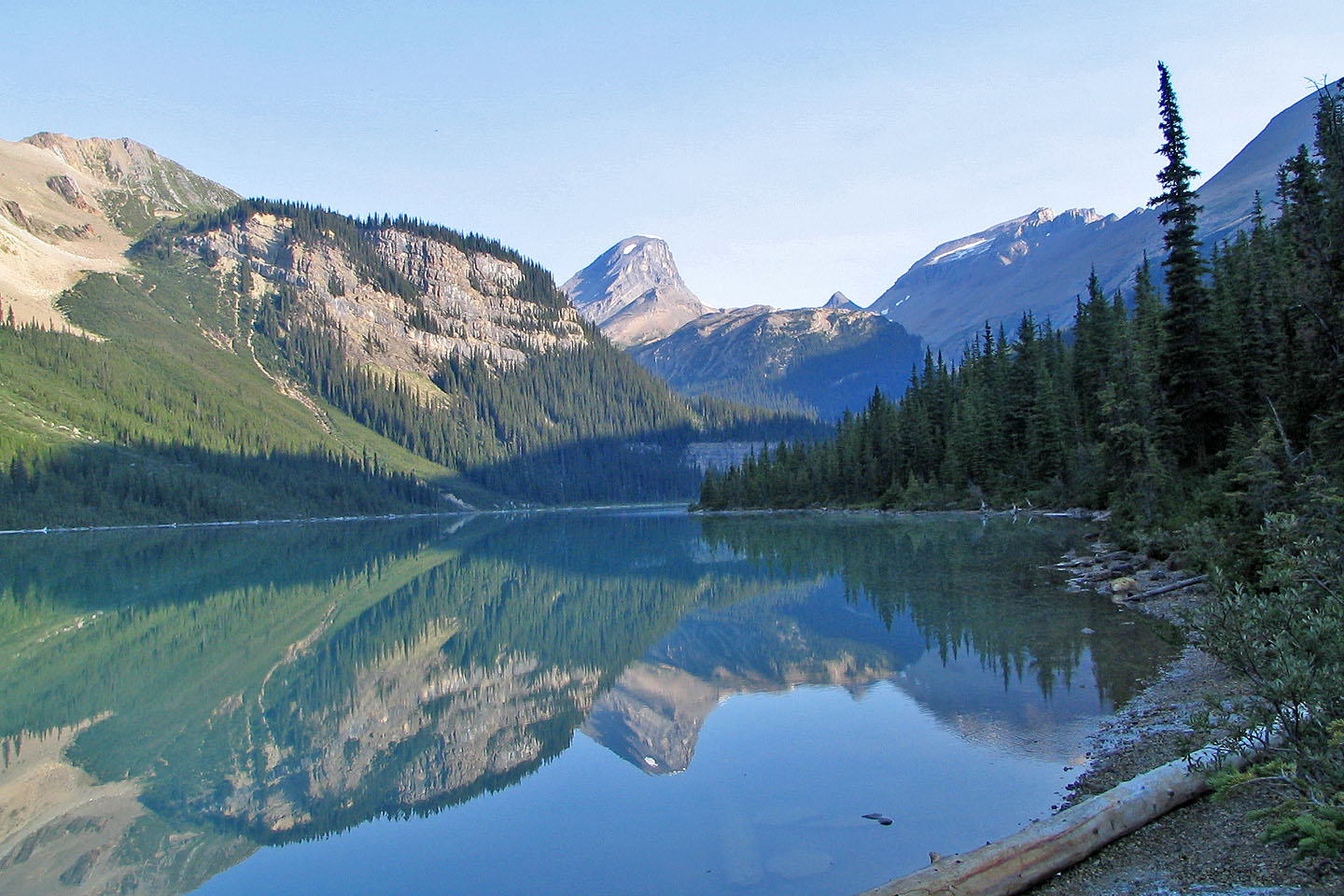
Mount Niles seen from Sherbrooke Lake
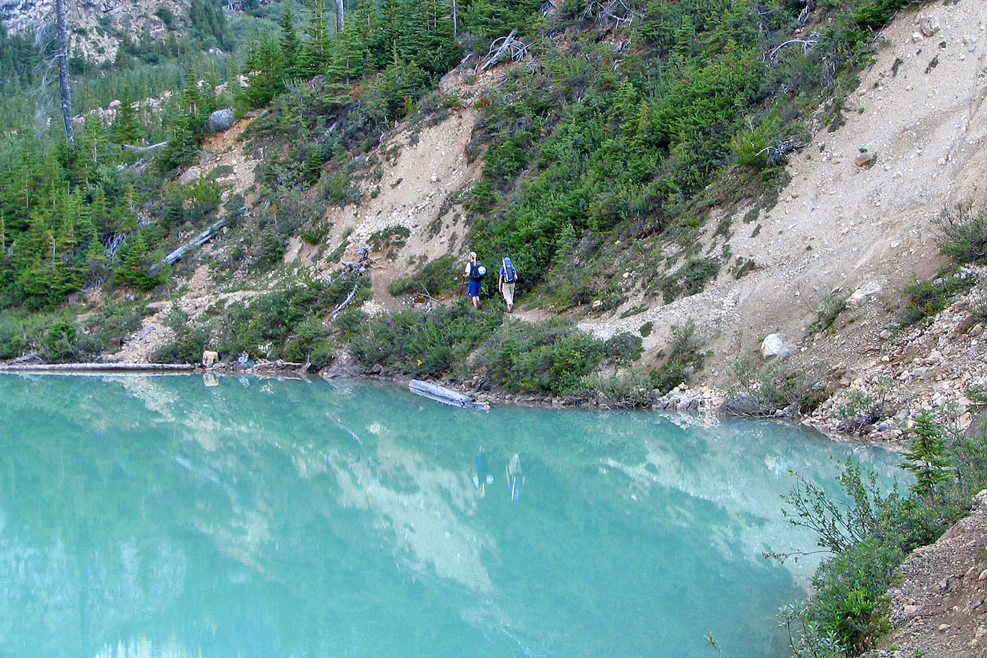
Hiking the trail around the lake
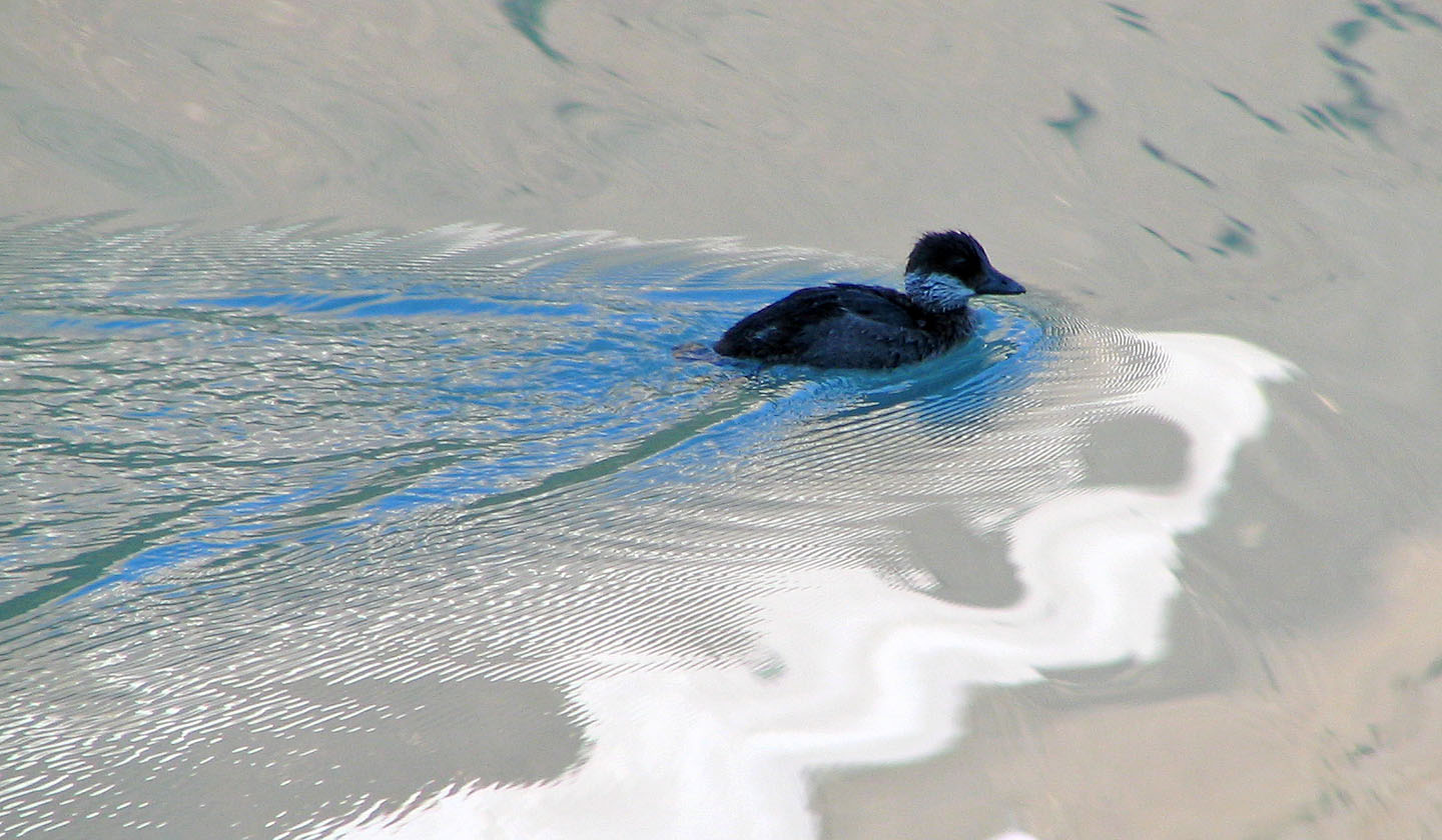
This duck doesn't bother using the trail
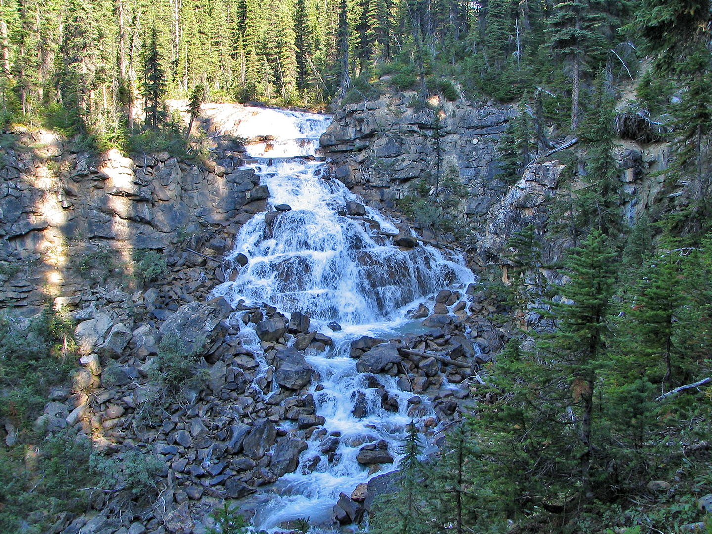
Waterfall
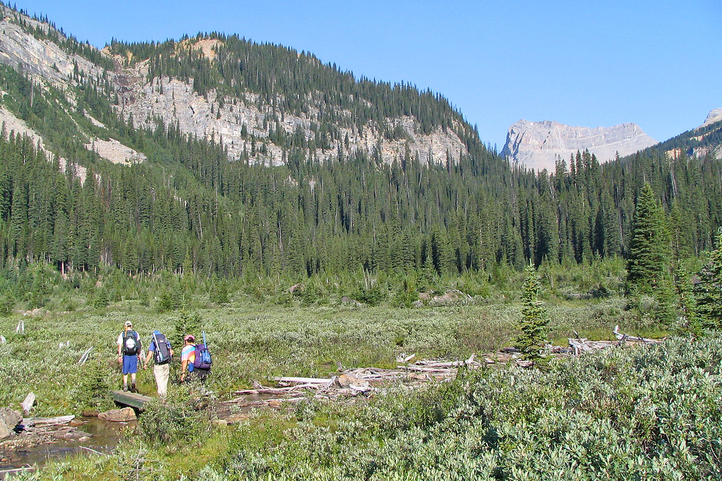
Crossing a bridge on the way to Niles Meadows
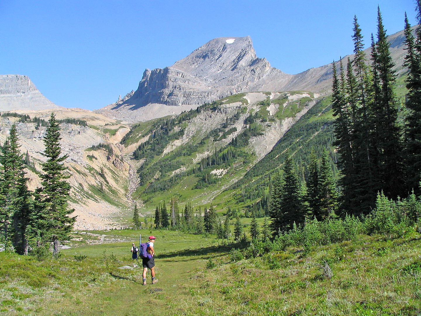
Mount Niles overlooks Niles Meadows. Above the gully against the skyline, is the pinnacle we have to reach.
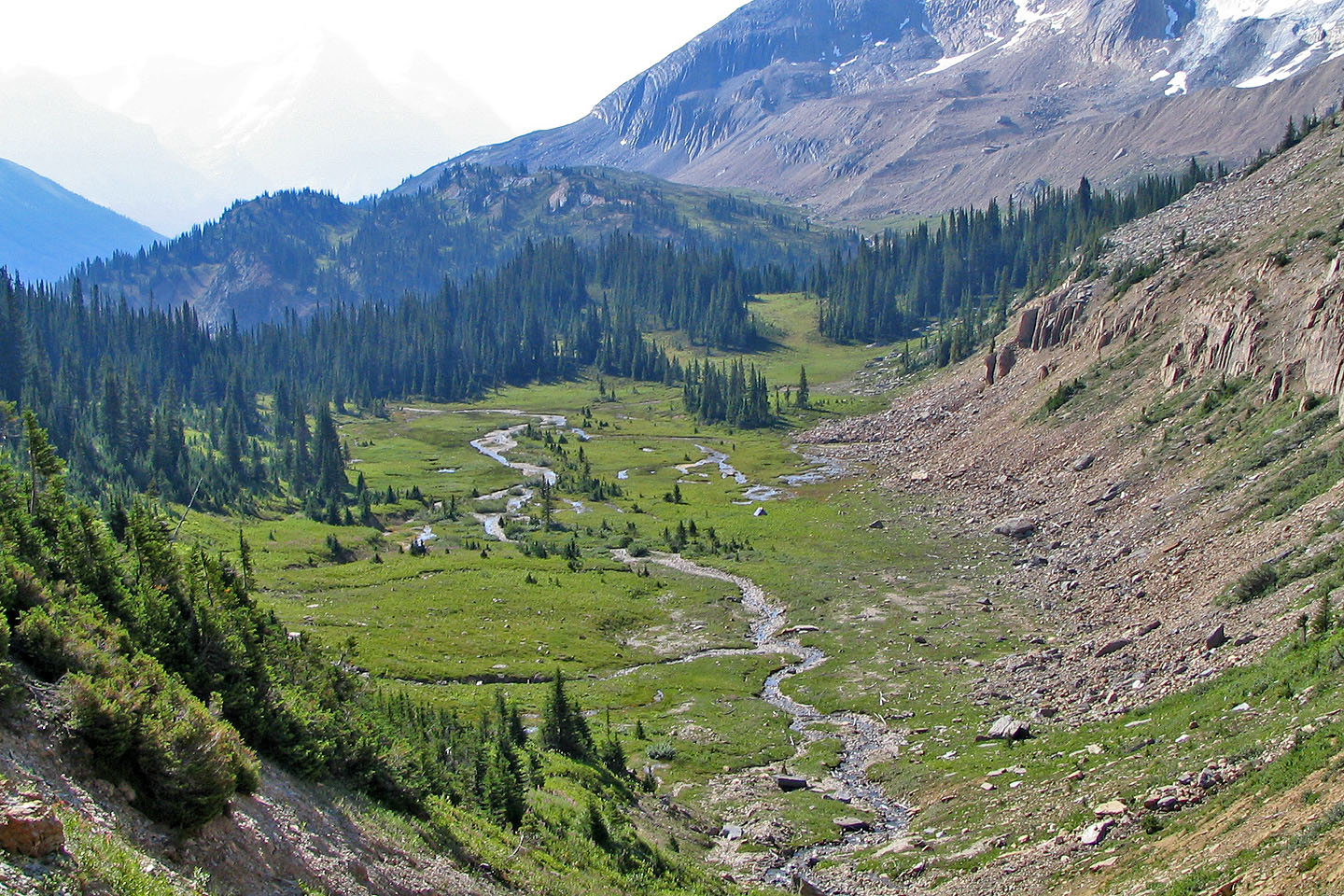
Looking back at the meadows
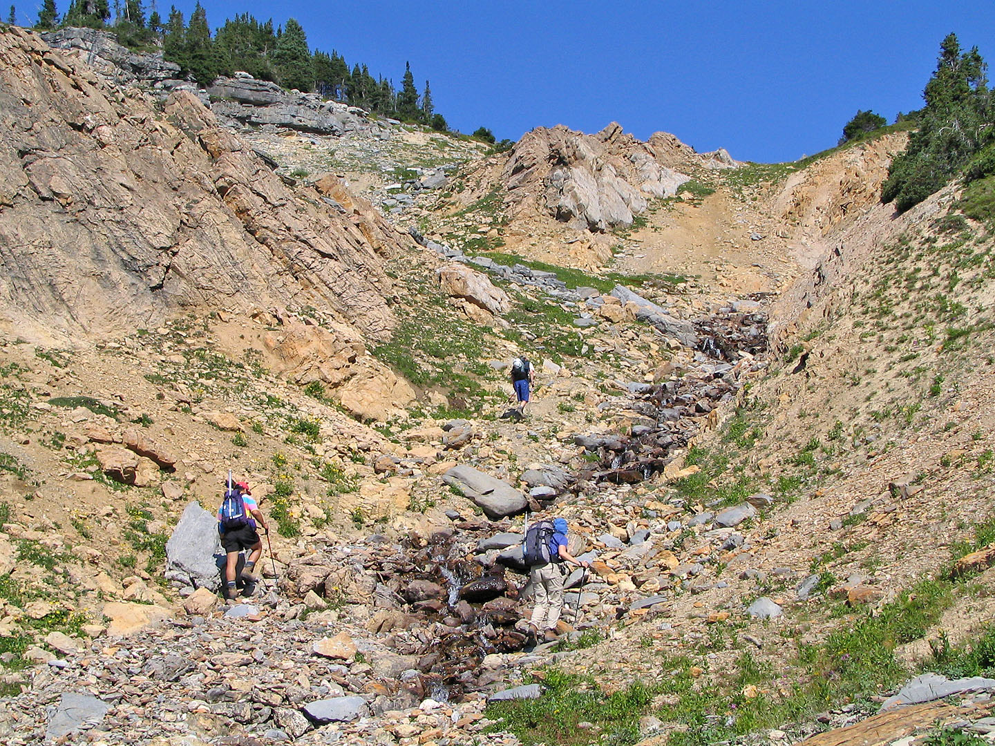
Hiking up the drainage above the meadows
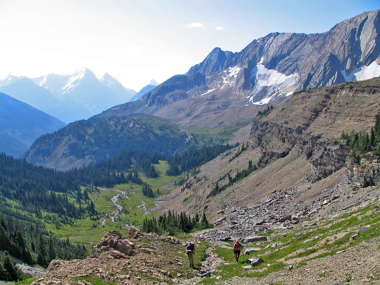
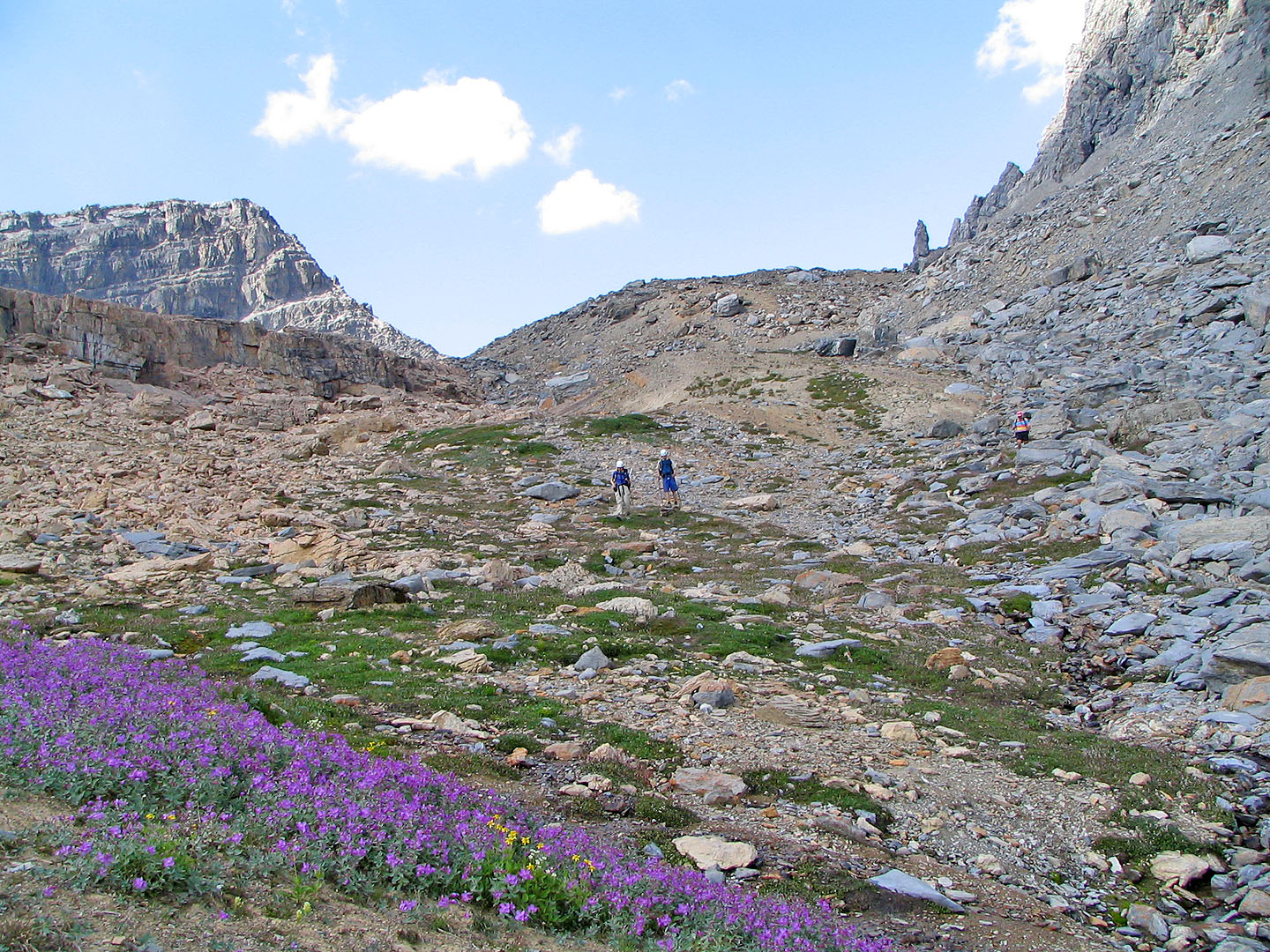
We're now well above the meadows
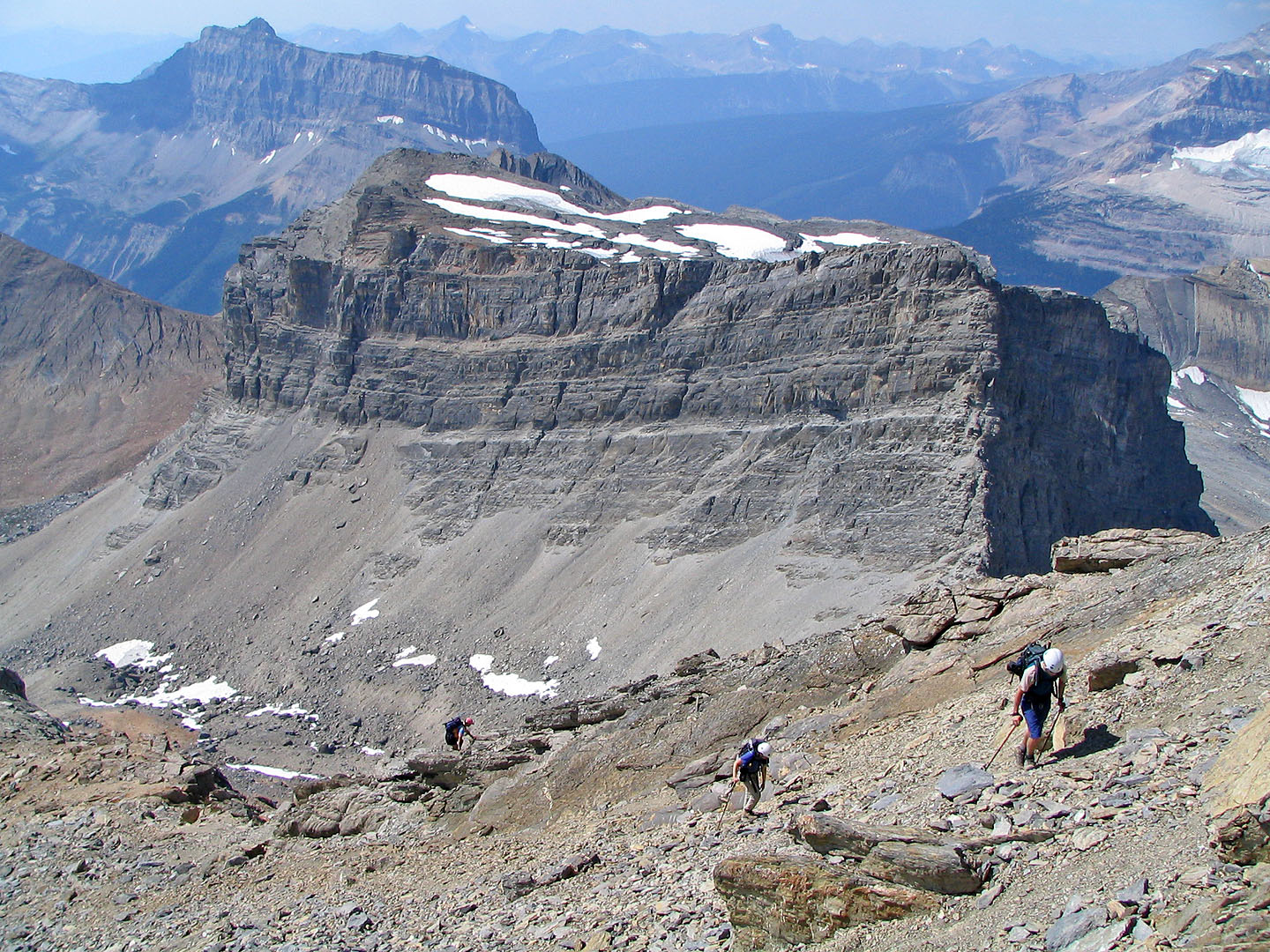
We make our way to the pinnacle seen on the left
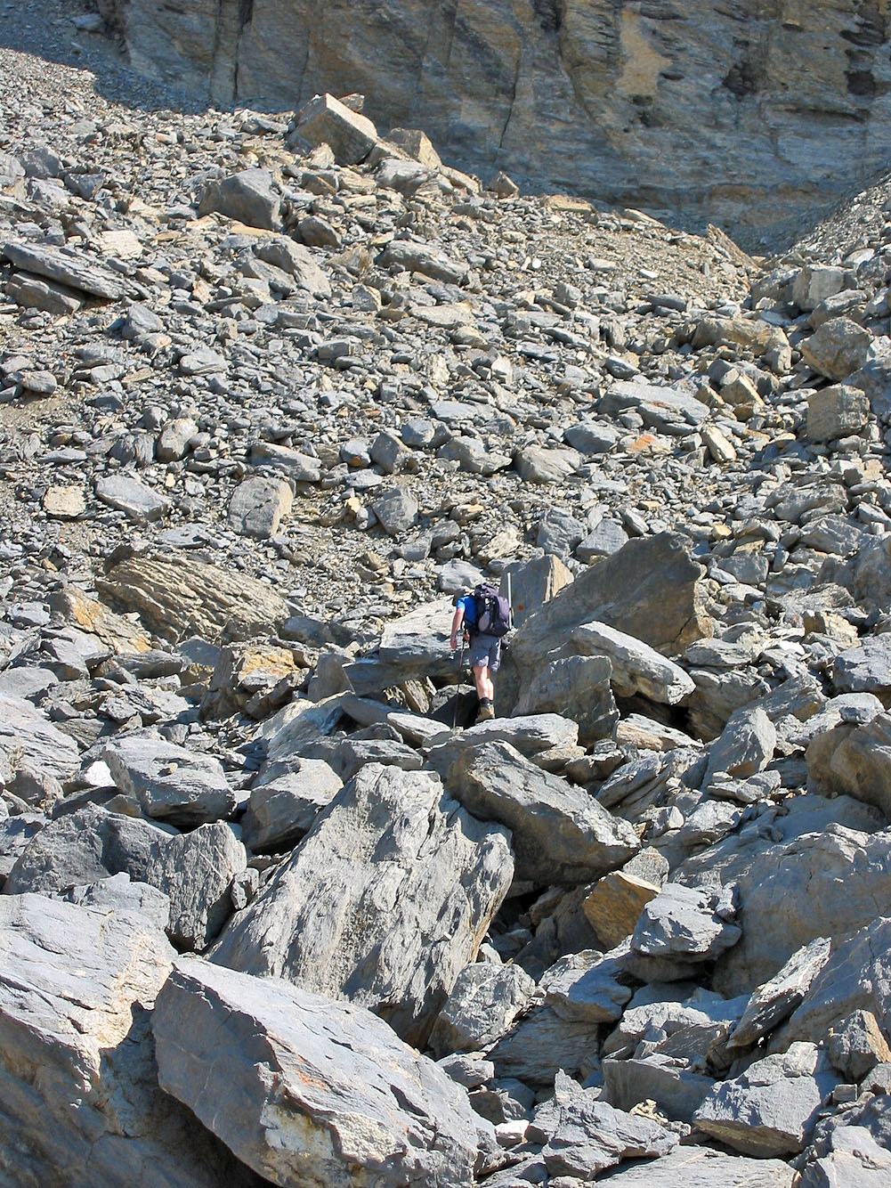
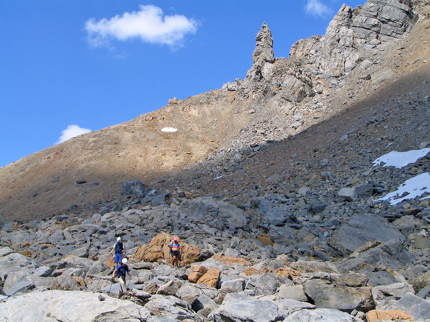
Crossing the boulder field
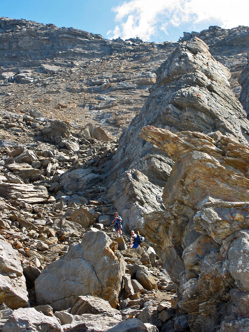
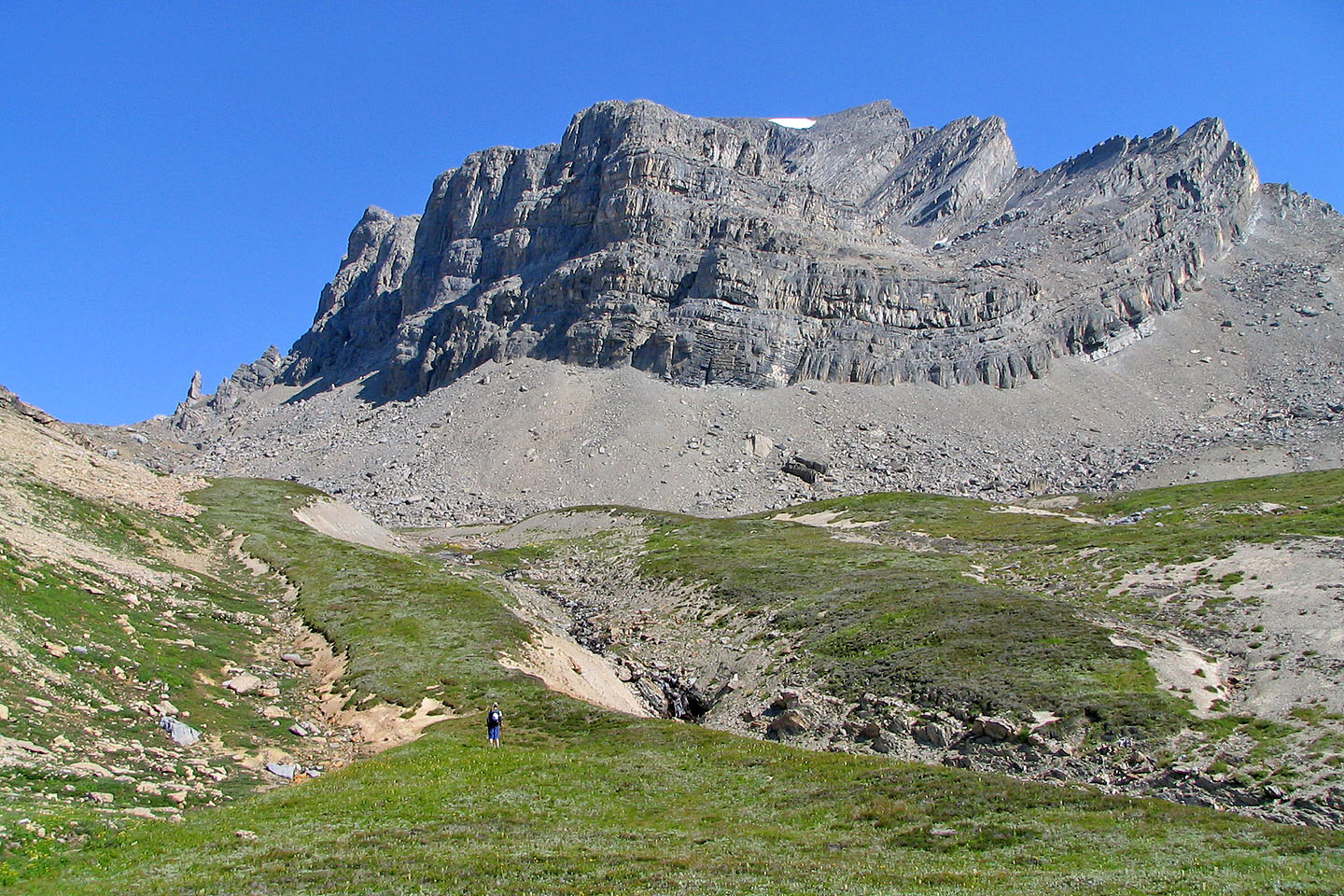
Heading up the slope
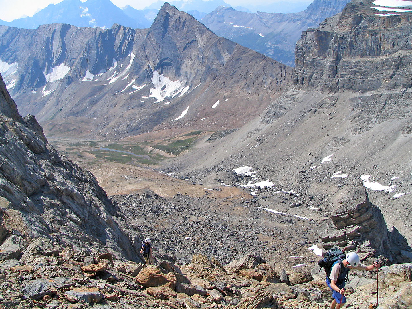
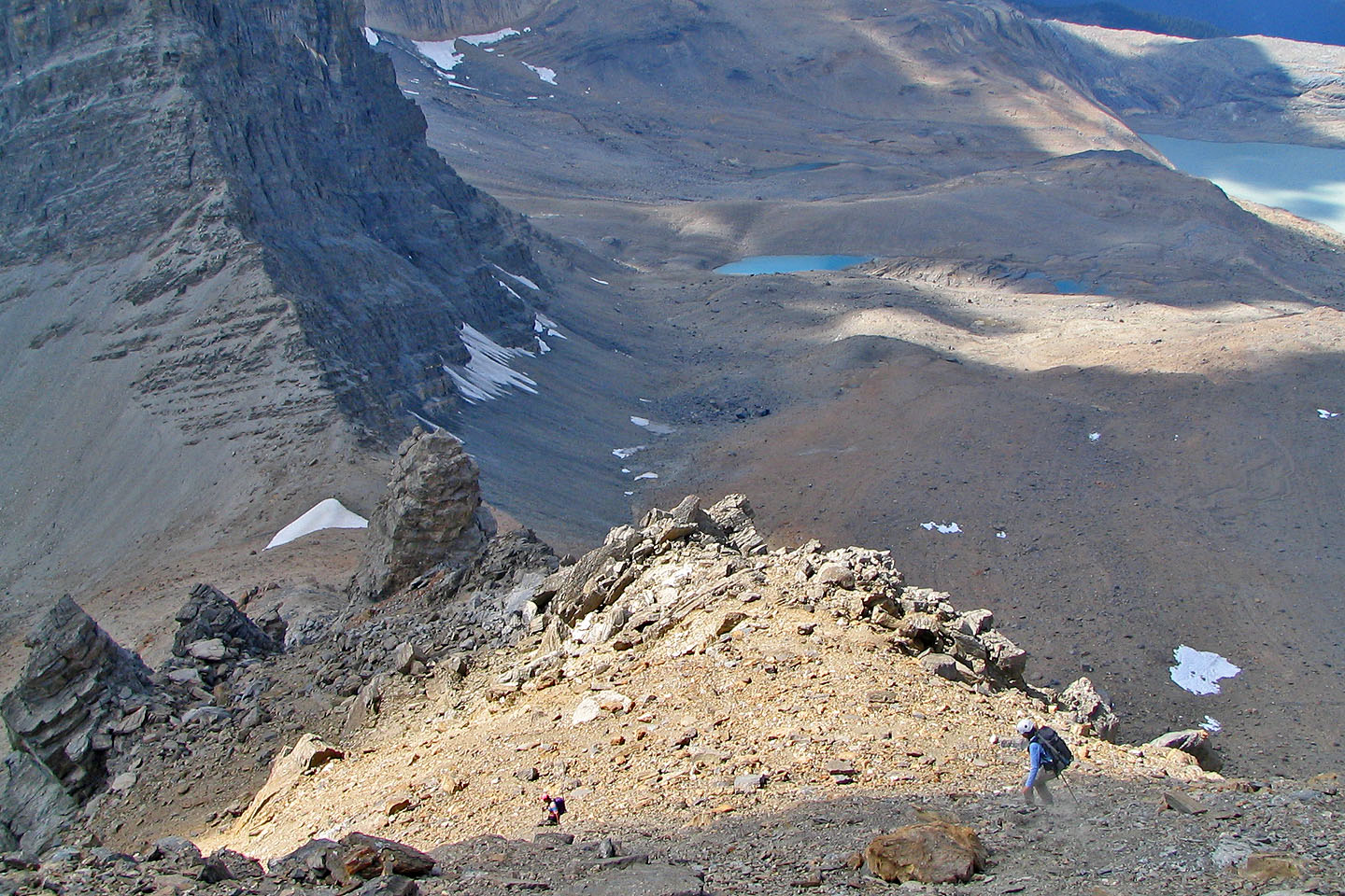
Below is the boulder field we crossed
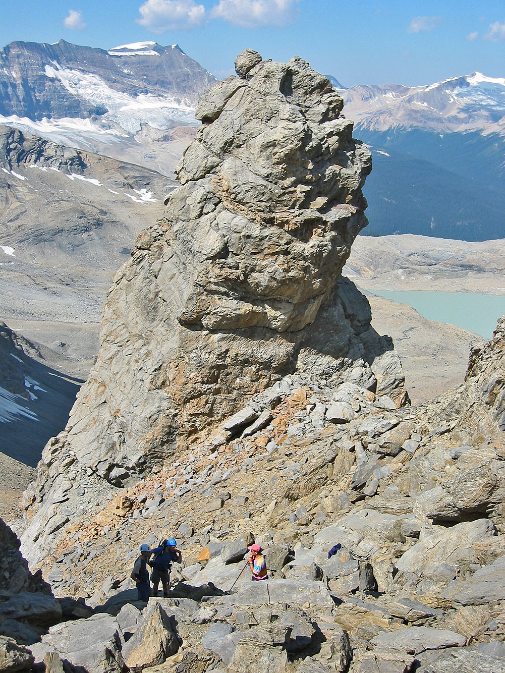
Taking a break by the pinnacle
Sonny tackled the ridge while the rest of us scrambled up the slopes below the summit
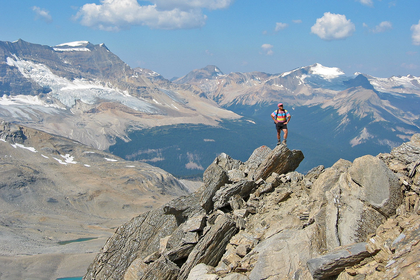
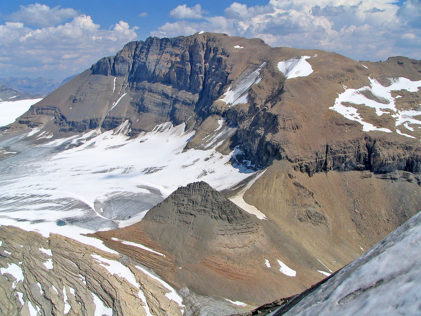
Sonny pauses on the ridge. Left is President Range and Emerald Glacier.
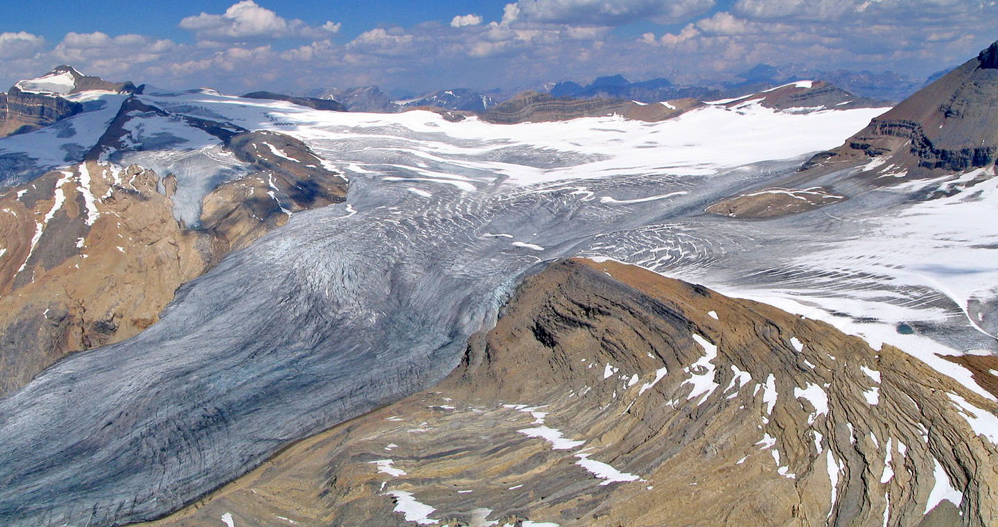
Iceline Trail
lies below the glacier.
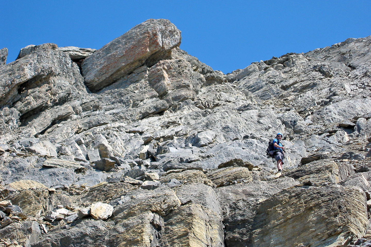
The scramble to the summit was straightforward
Sonny on the ridge
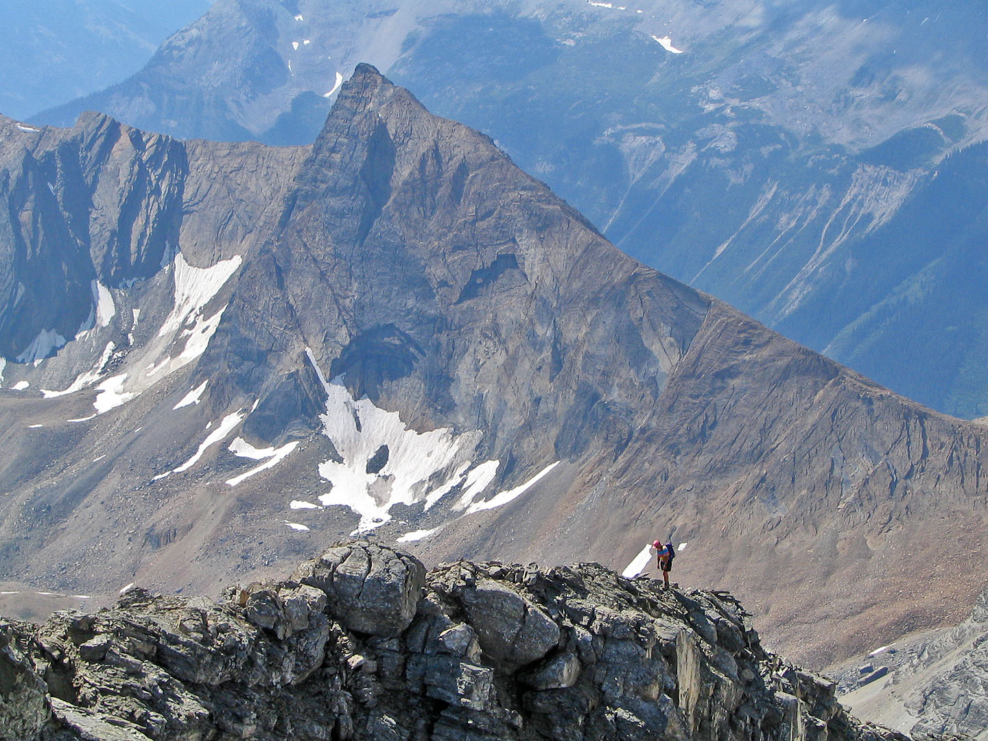
Sonny takes in the view
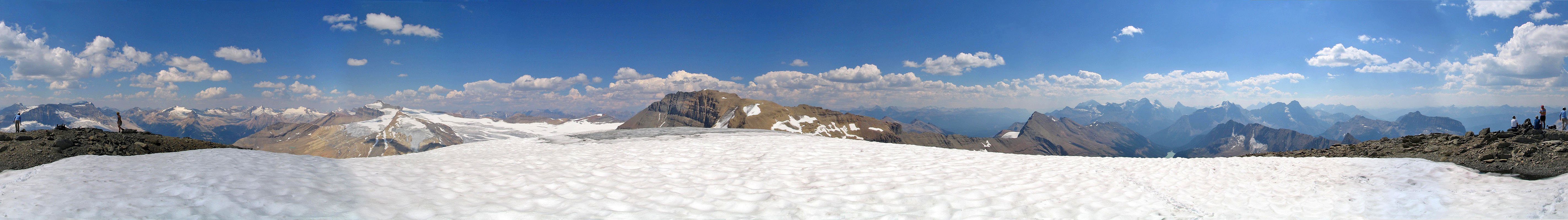
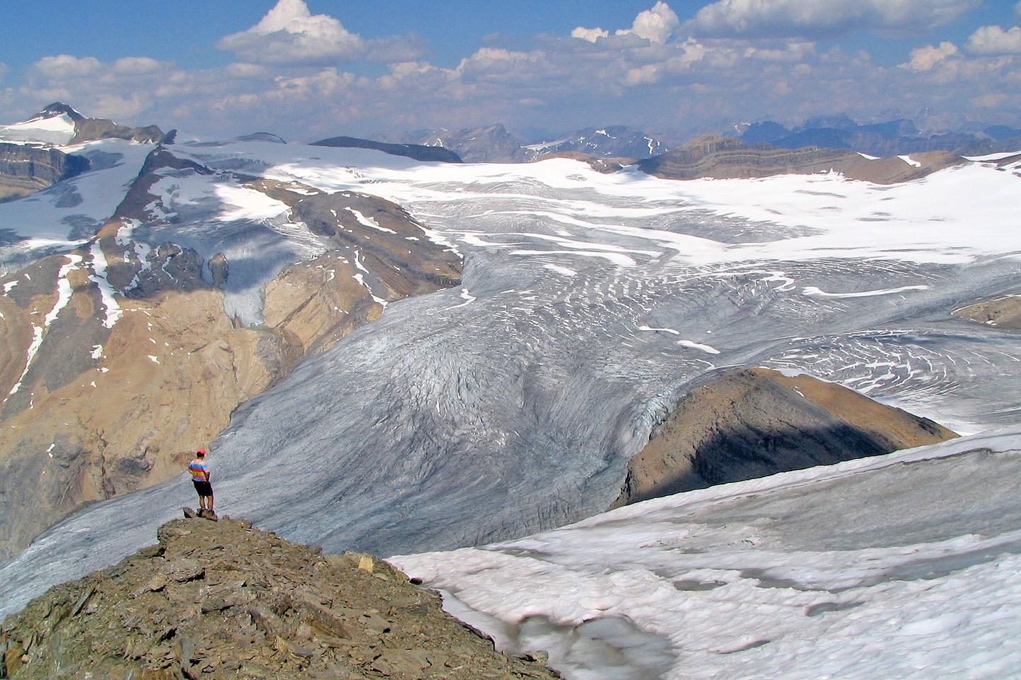
Waputik Icefield fills the view north
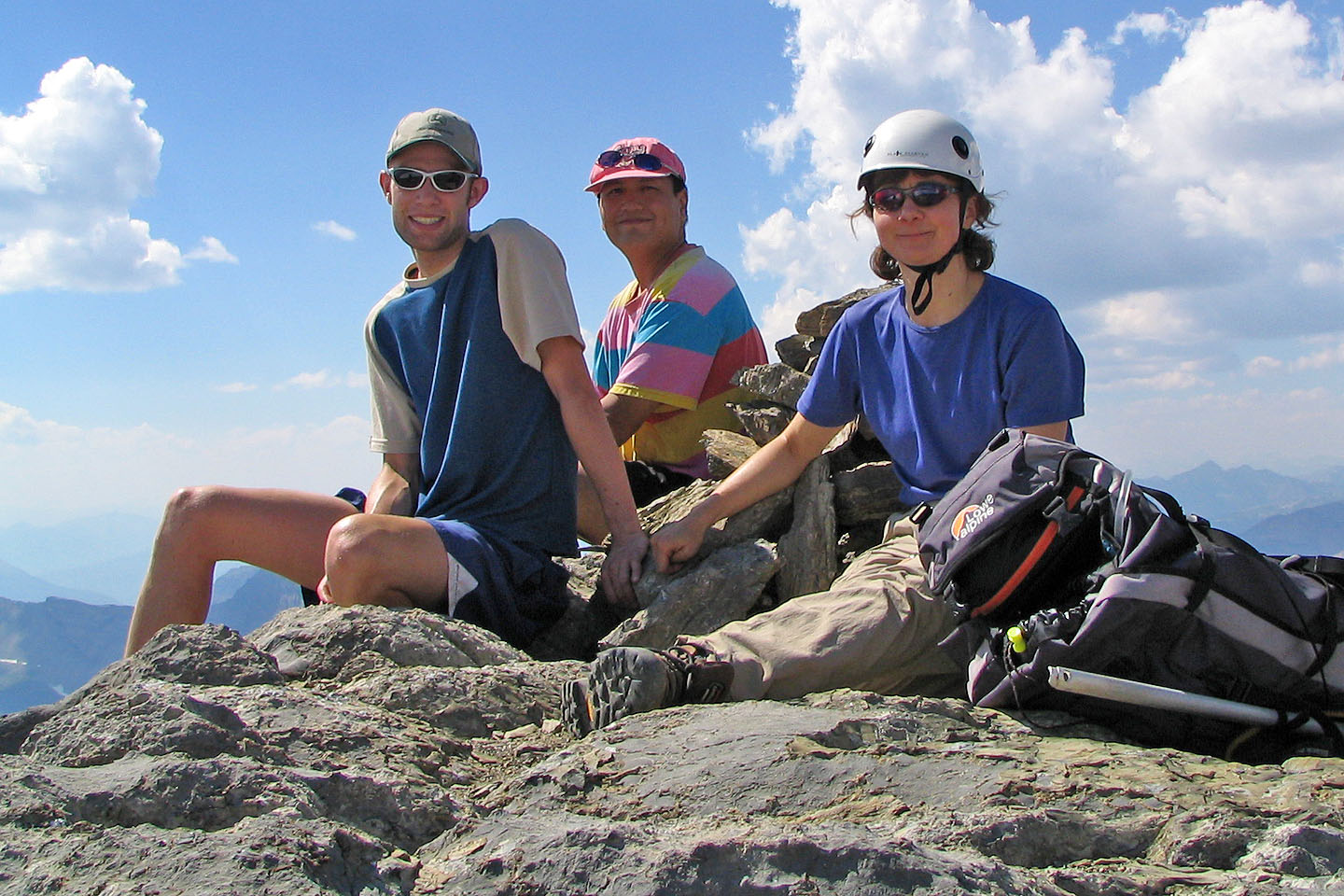 Frank, Sonny and Dinah on the summit
Heading back down to the pinnacle
Back on the boulder field
Heading back down to Niles Meadow
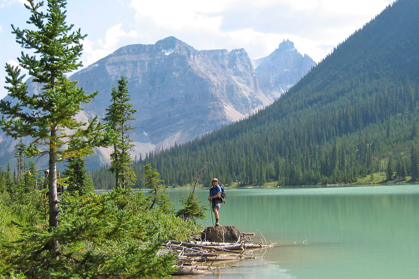
Back at the lake
82 N/9 Hector Lake, 82 N/8 Lake Louise