bobspirko.ca | Home | Canada Trips | US Trips | Hiking | Snowshoeing | MAP | About
Mount Daly
Yoho National Park, B.C.
June 22, 2001
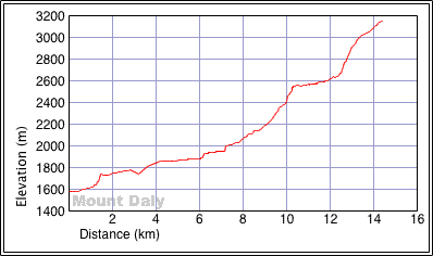
Distance: 28.8 km (17.9 mi)
Cumulative Elevation Gain: 2120 m (6955 ft)
Mount Daly makes for a long day but offers great views along the way. The long approach is unavoidable, but it follows a good trail past interesting scenery. It skirts the east shore of Sherbrooke Lake and passes a waterfall before ending at Niles Meadows. From there it's a difficult scramble up west slopes to the south ridge. We followed the ridge to the summit.
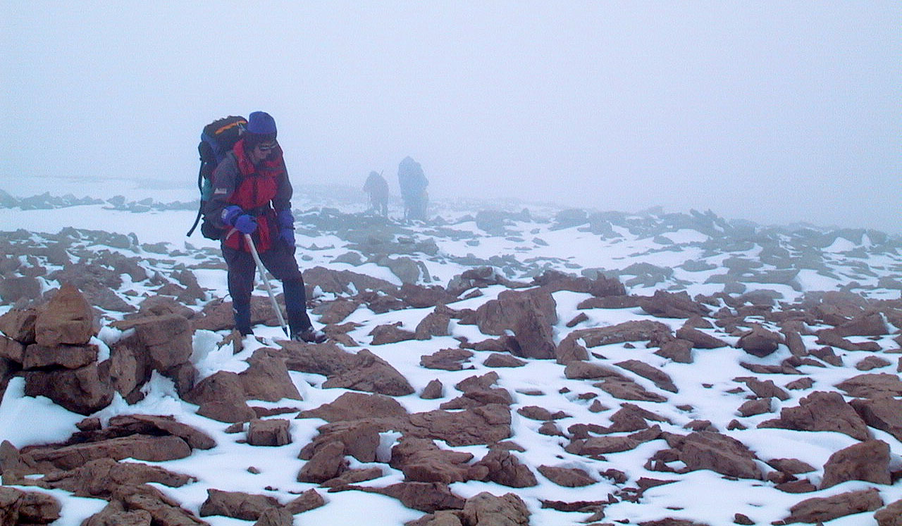
Unfortunately, our group of ten summited under poor weather conditions. The summit itself was buried under a huge cornice and required care in ascending. The ridge was in fog which prevented me from taking a panorama.
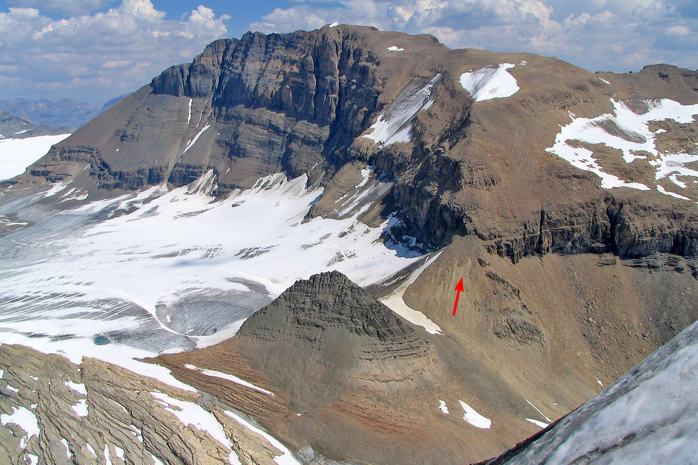
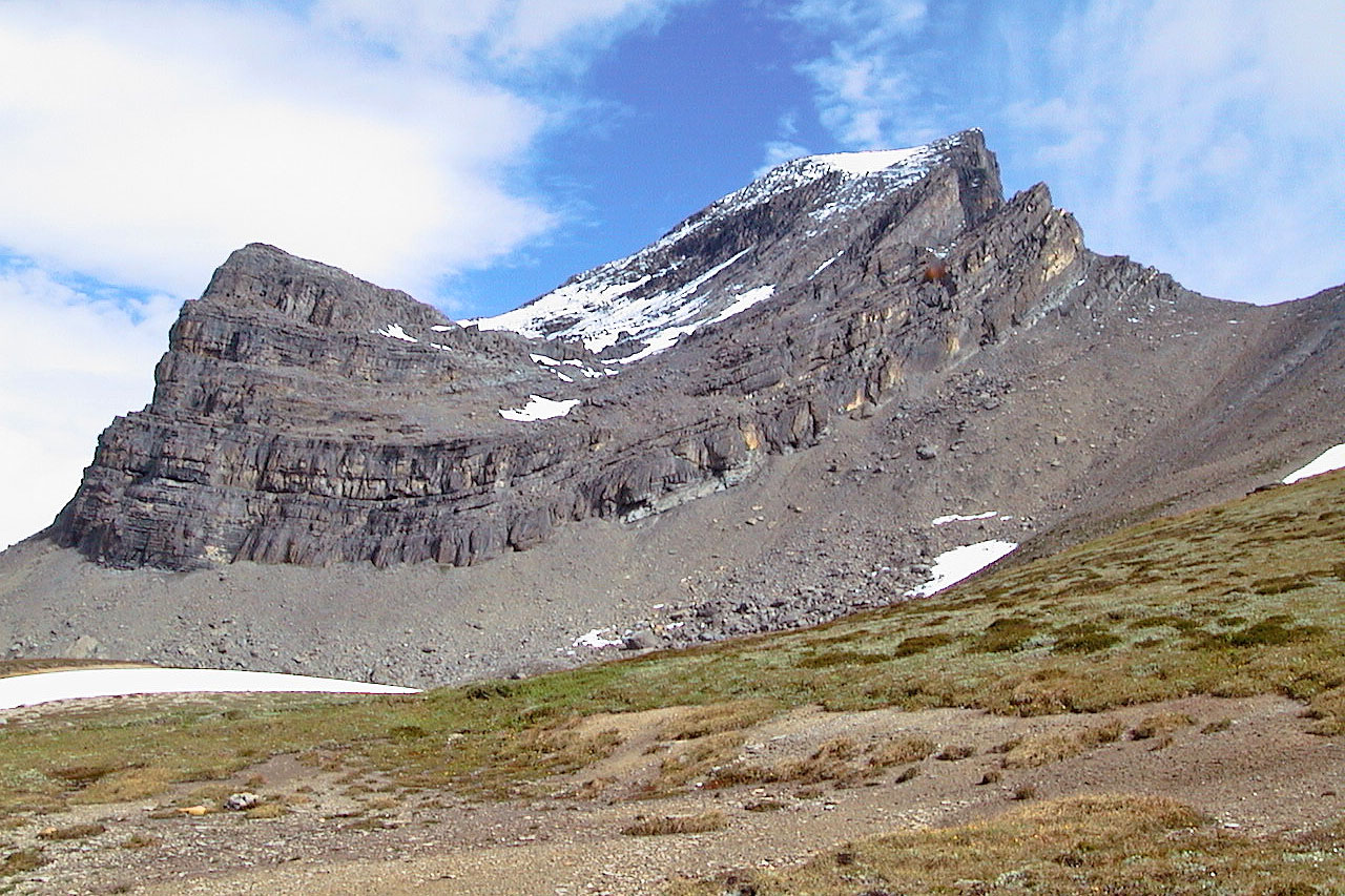
Mount Daly seen from Mount Niles. Arrow indicates the ascent slope.
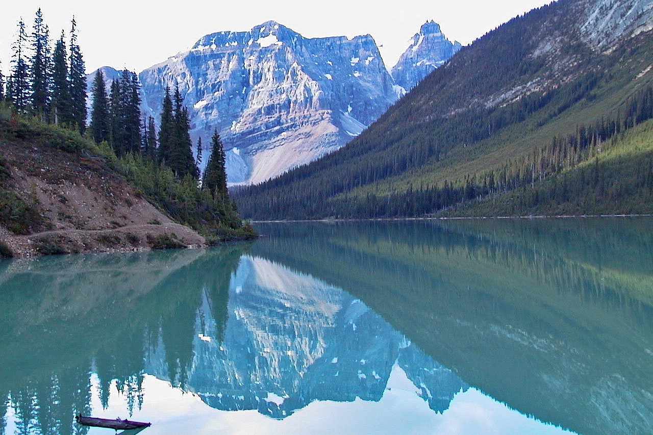
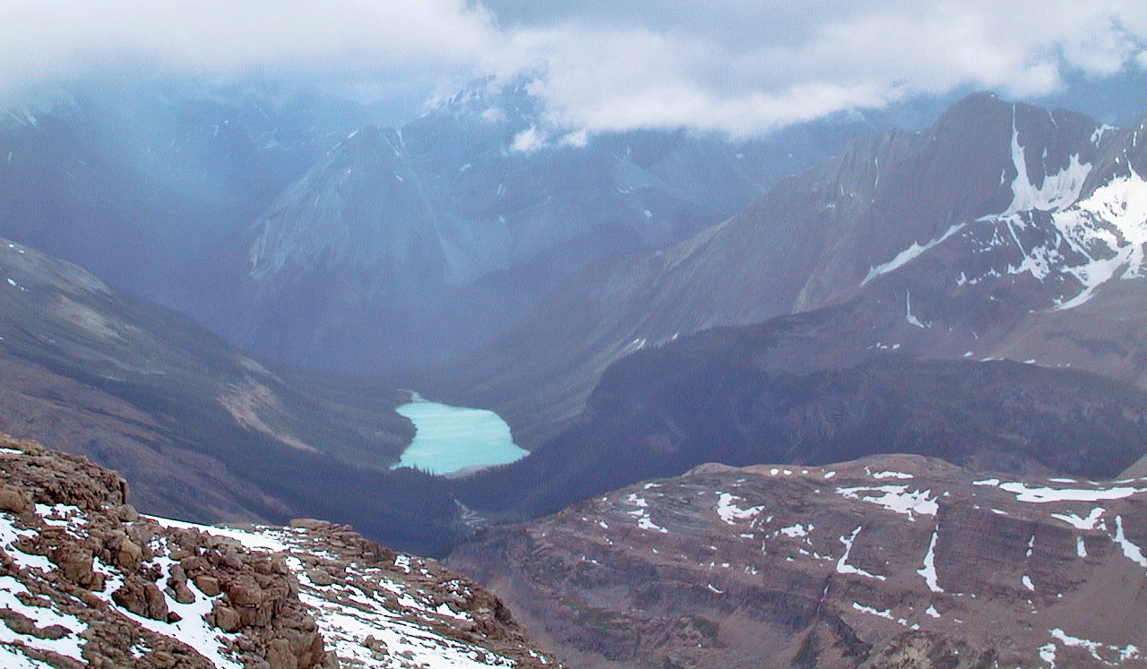
Looking back at Sherbrooke Lake, trail is visible left
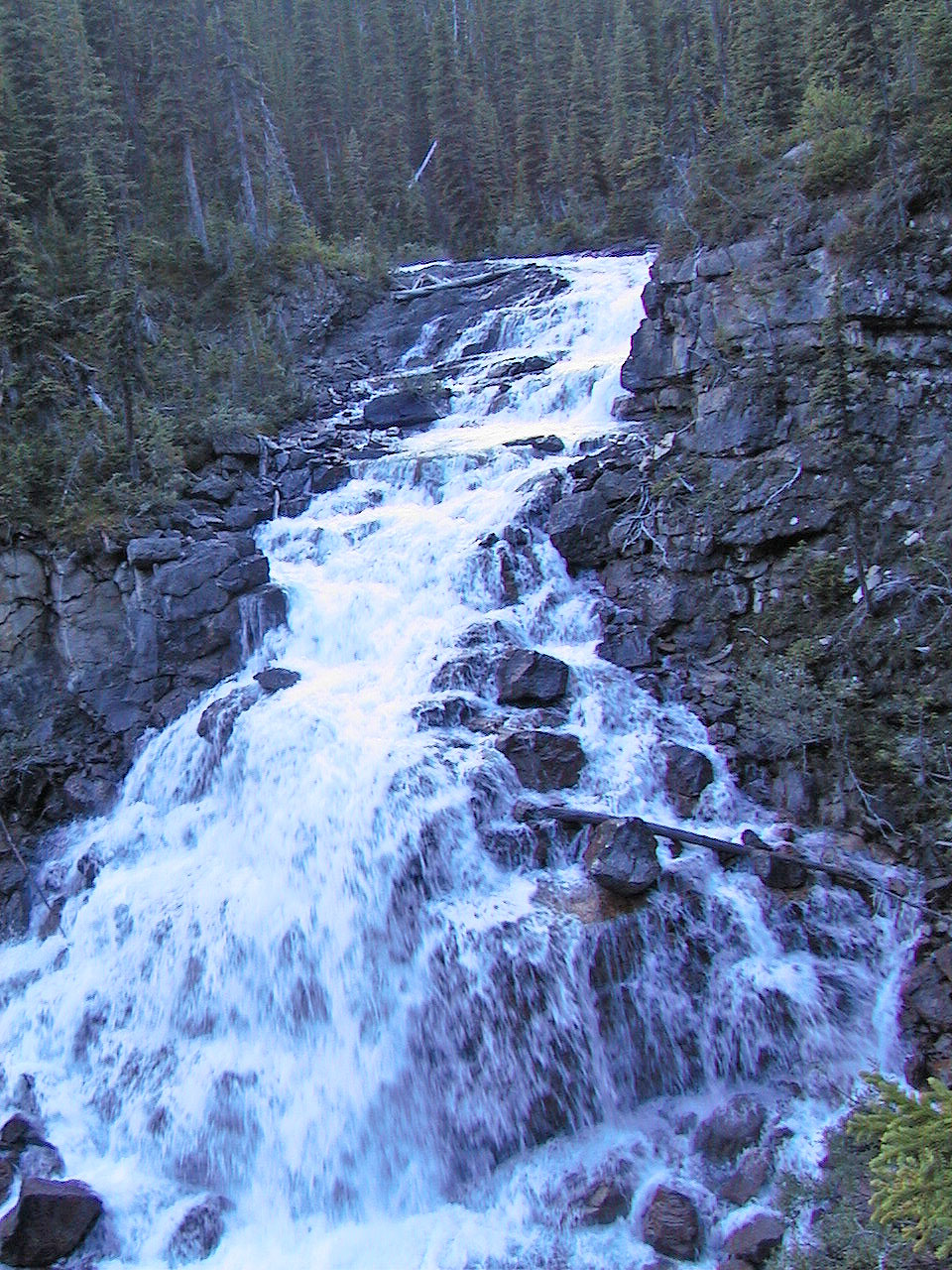
We passed a waterfall after the lake
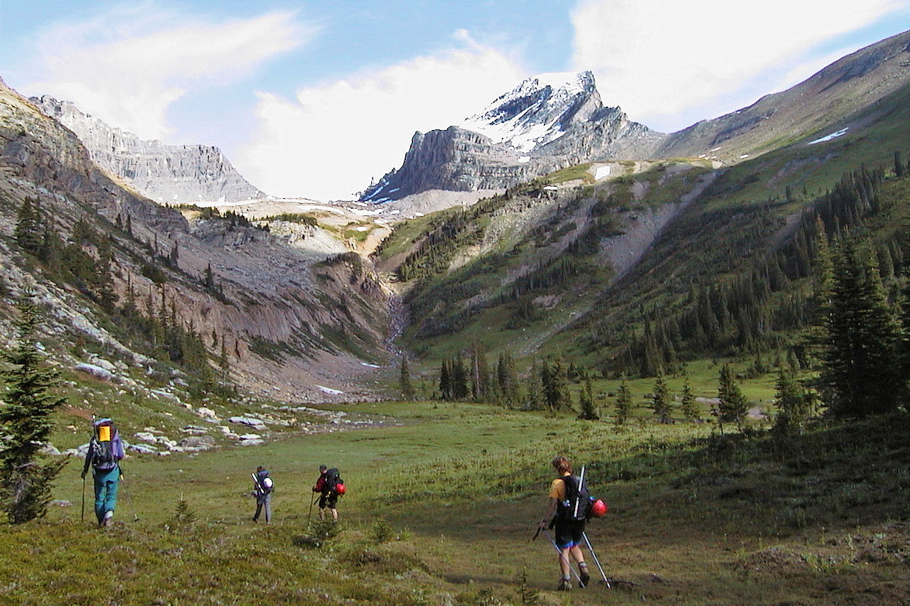
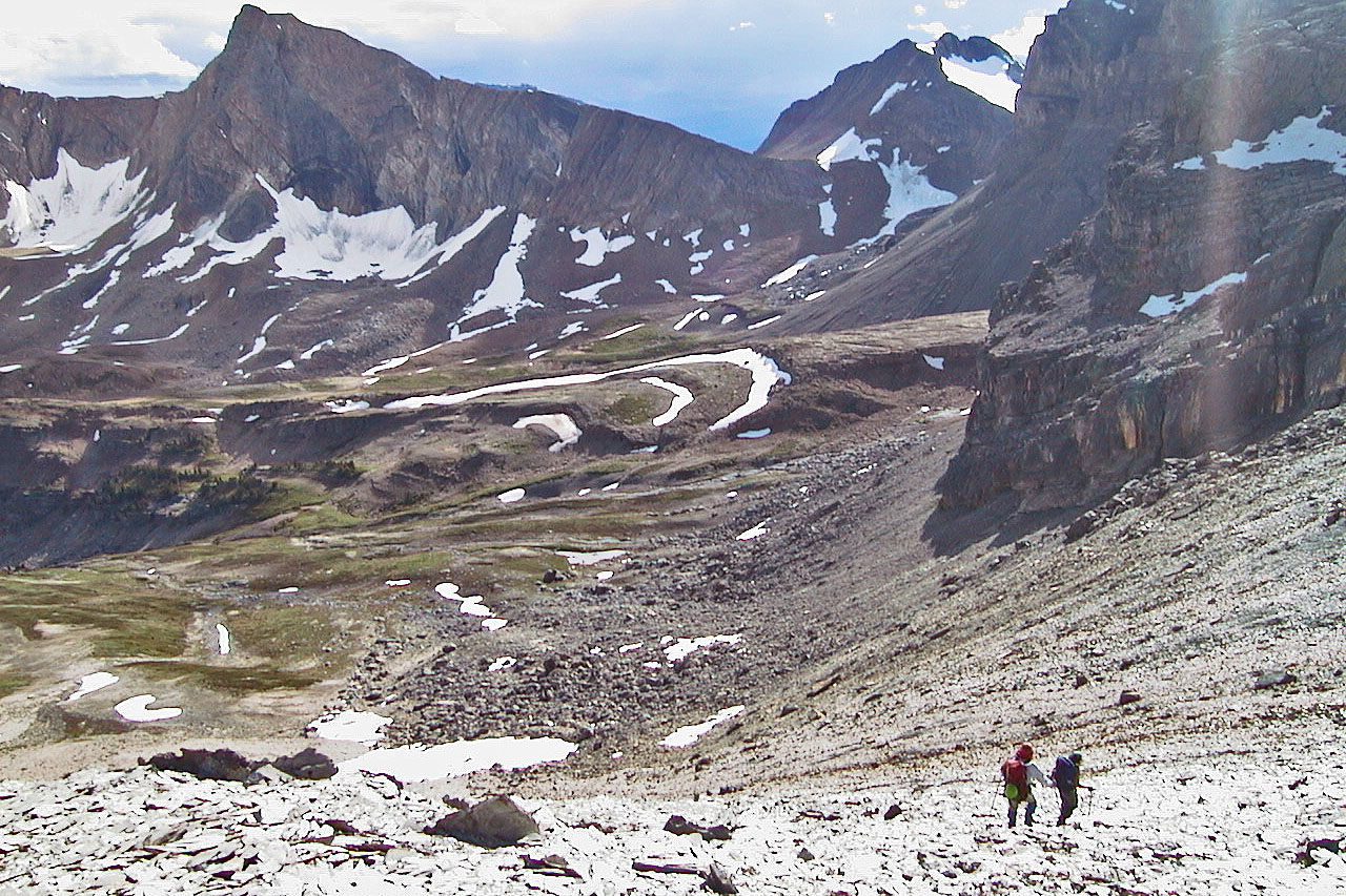
Mount Niles overlooks the
meadow. Mount Daly is sight.
We passed by Mount Niles
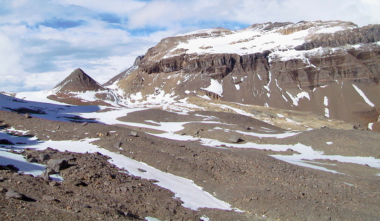
We climbed a low ridge where we'll see the "pyramid"
Mount Daly centre: after hiking around the pyramid on the left side, we scrambled up the slope
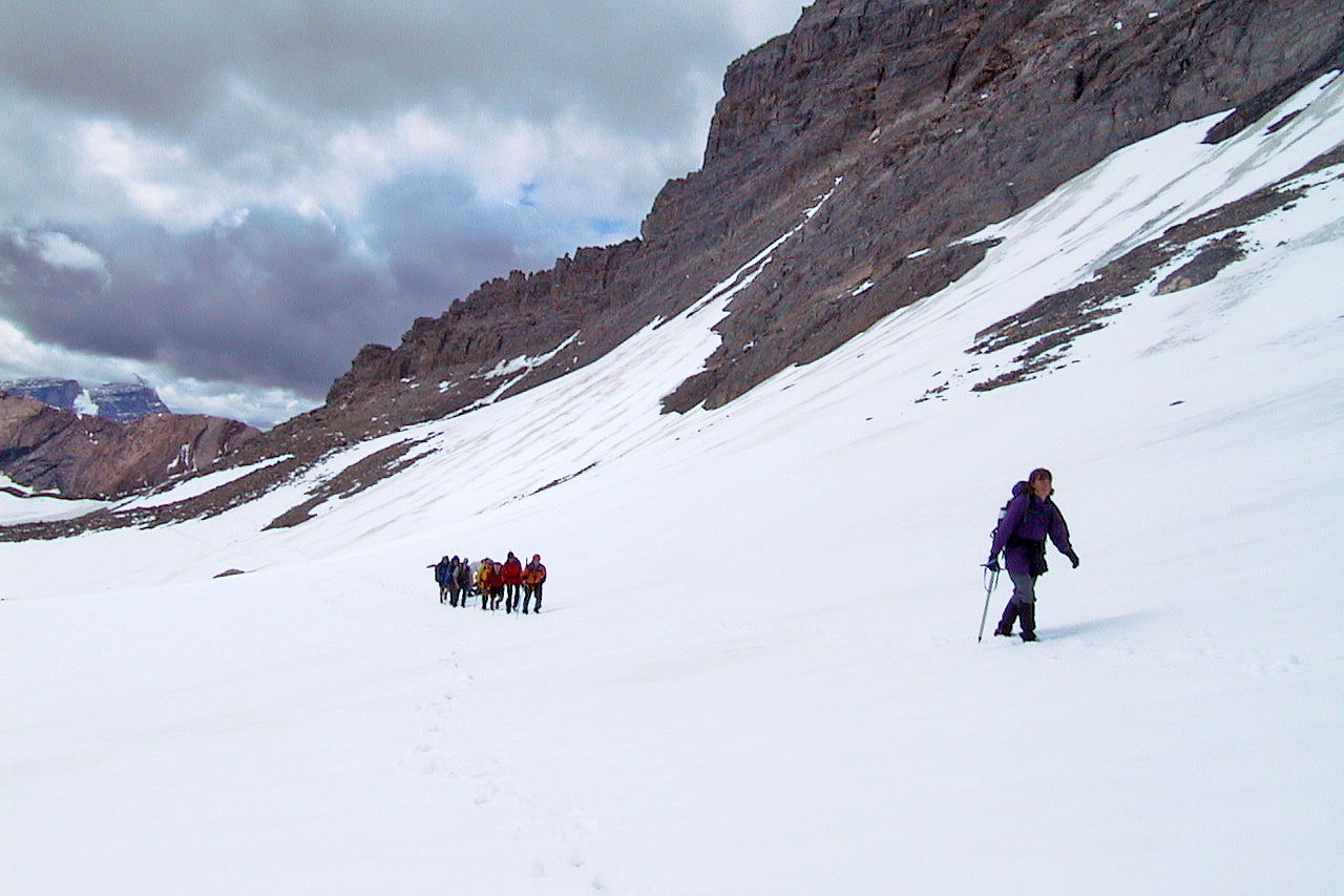
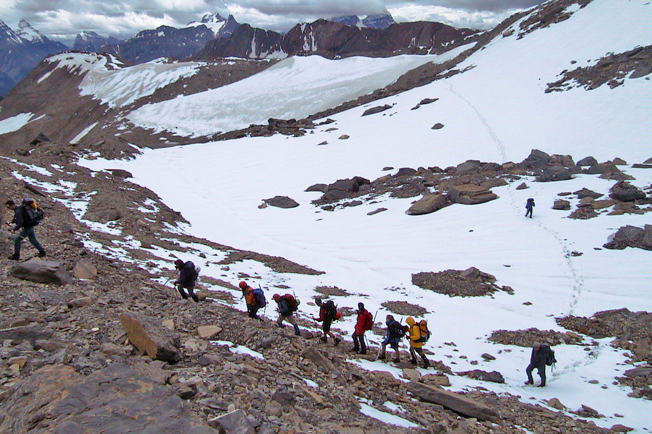
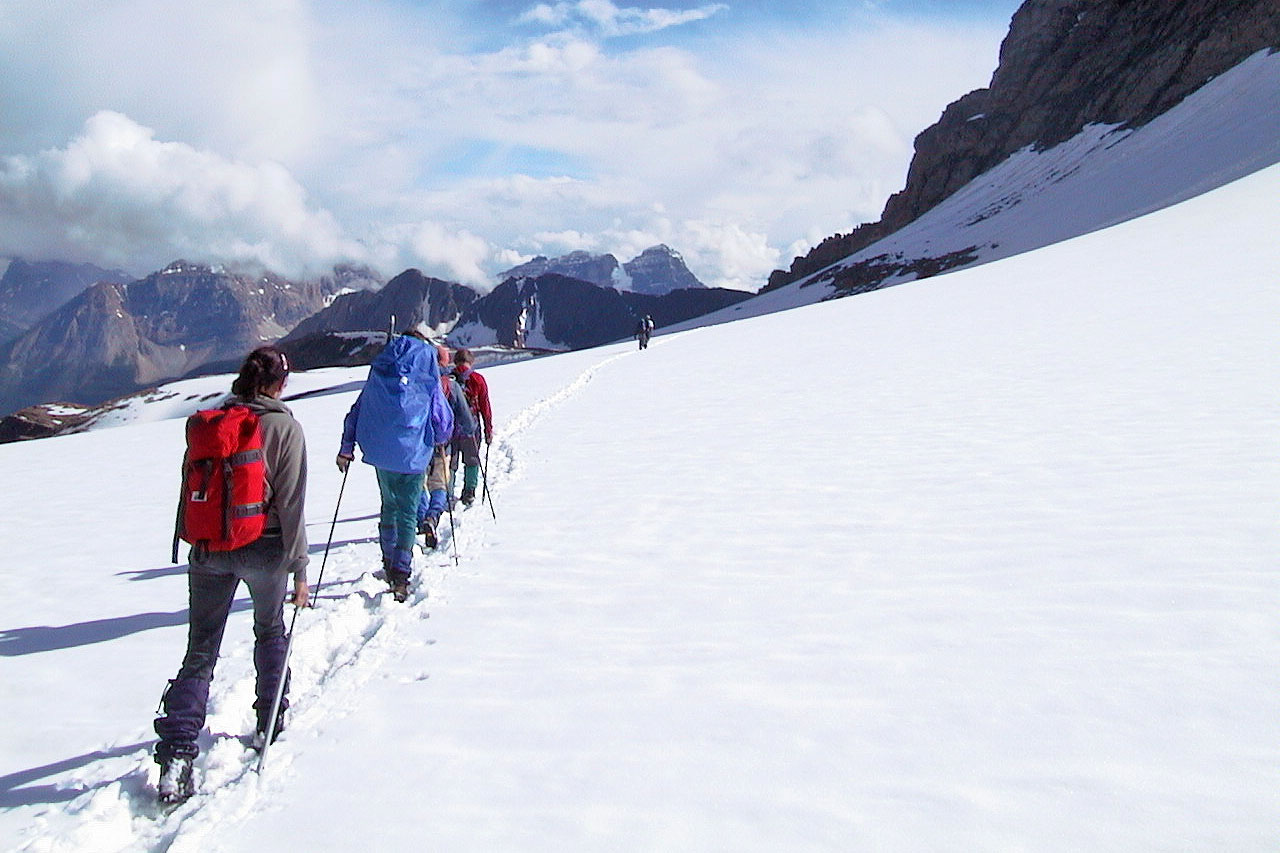
Plenty of snow to traverse
We paused on the slope
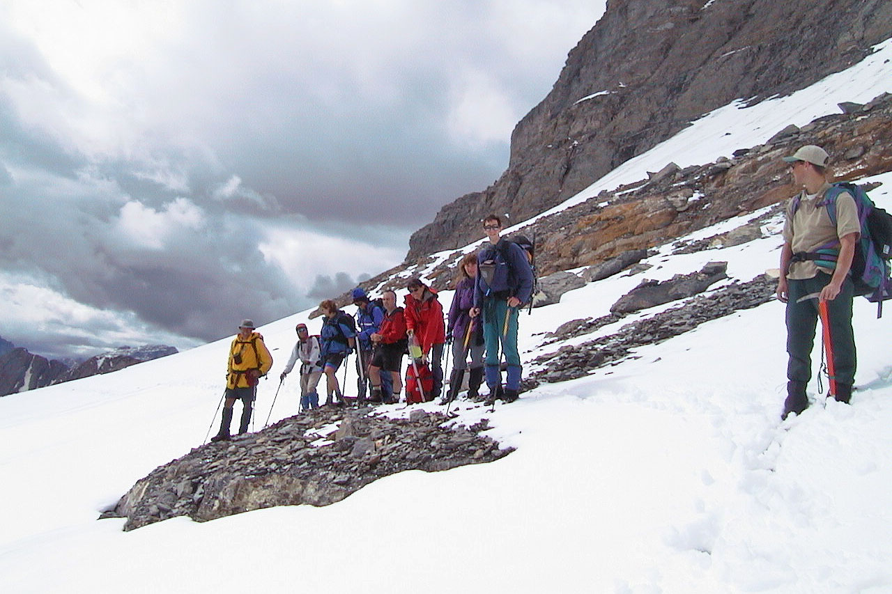
Taking a break partway up the slope
Plenty of loose rock on the slope we climbed. Mount Niles on the left.
Looking down at Sherbrooke Lake
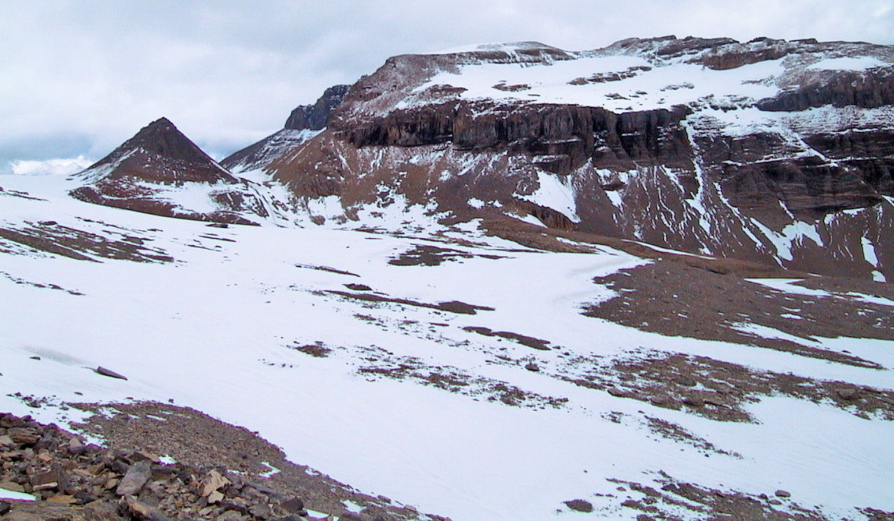
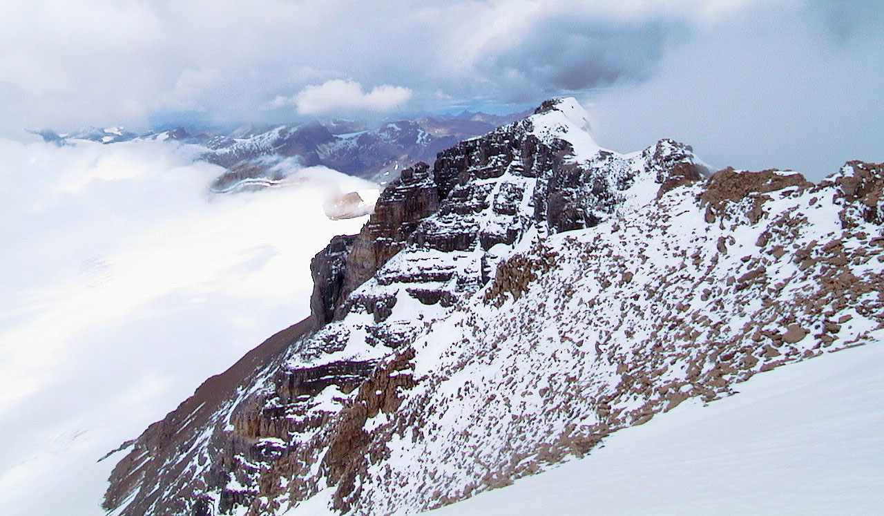
 The long
ridge of Mount Daly. The snow-capped summit was a considerable distance away.
The long
ridge of Mount Daly. The snow-capped summit was a considerable distance away.
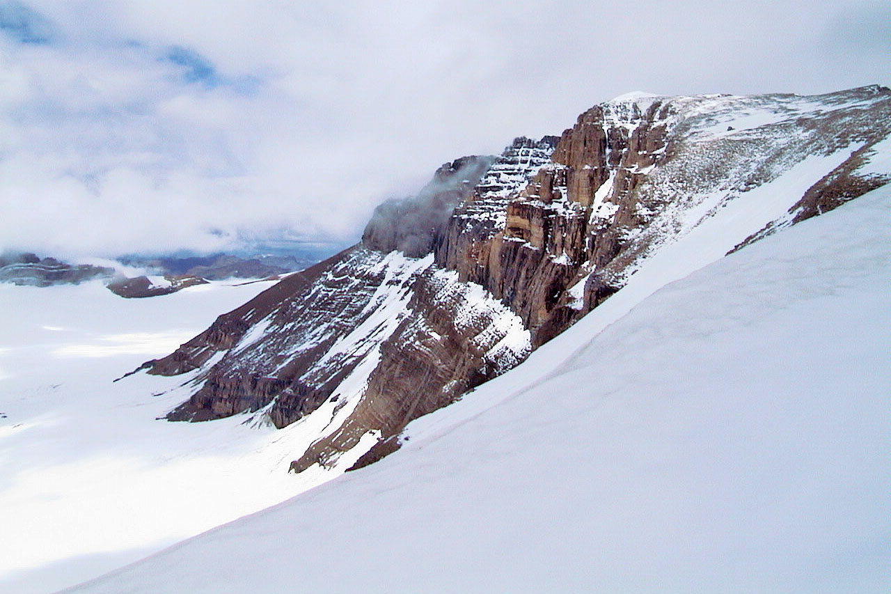
Looking north towards the summit. Note the figure on the skyline.
Clouds moved as we approached the summit
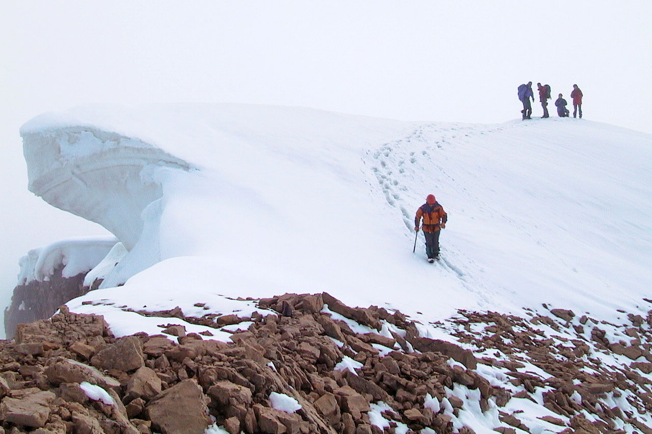 The snow-capped summit
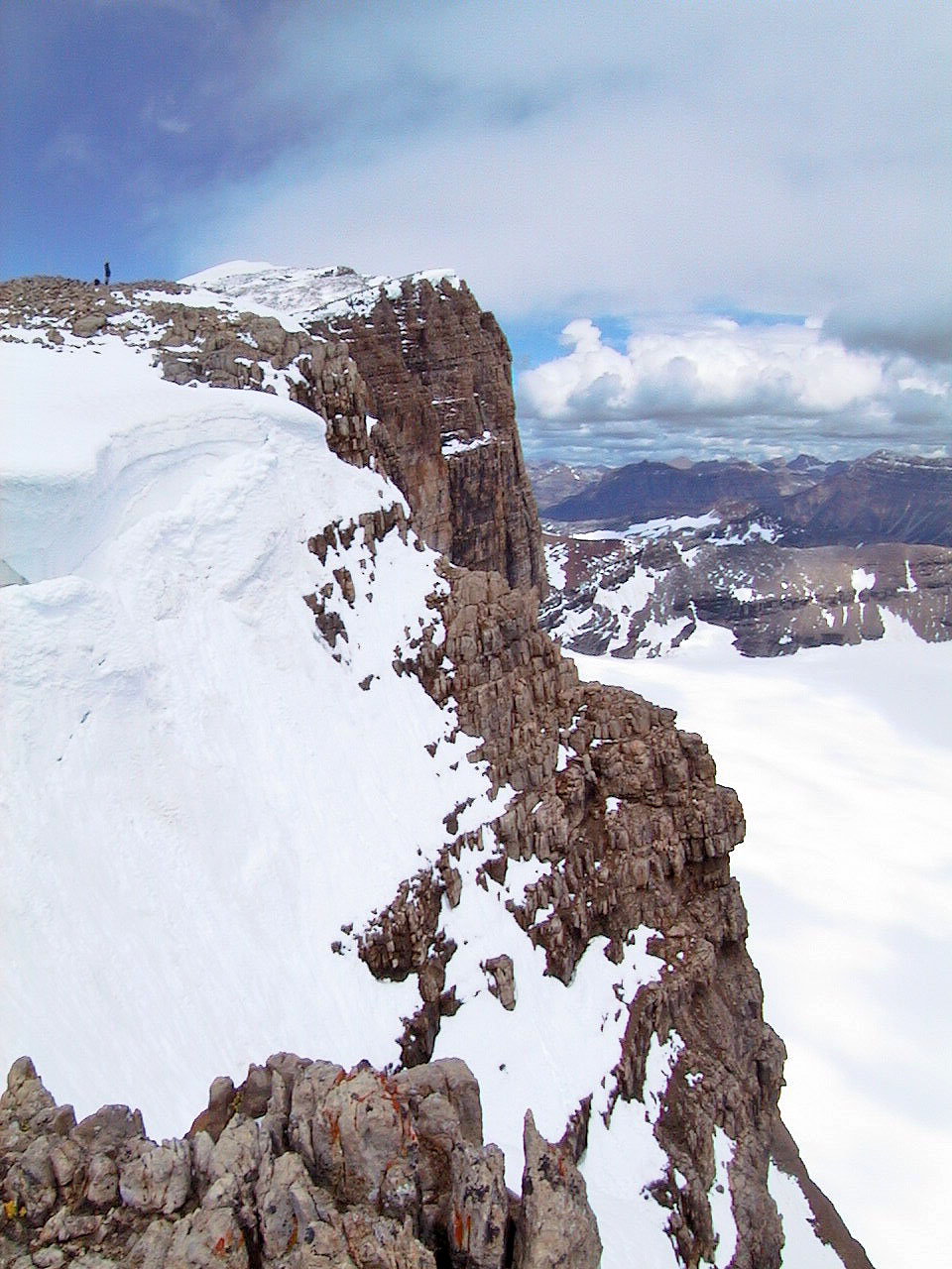
The view of the ridge past the summit lasted only a few minutes (mouse over)
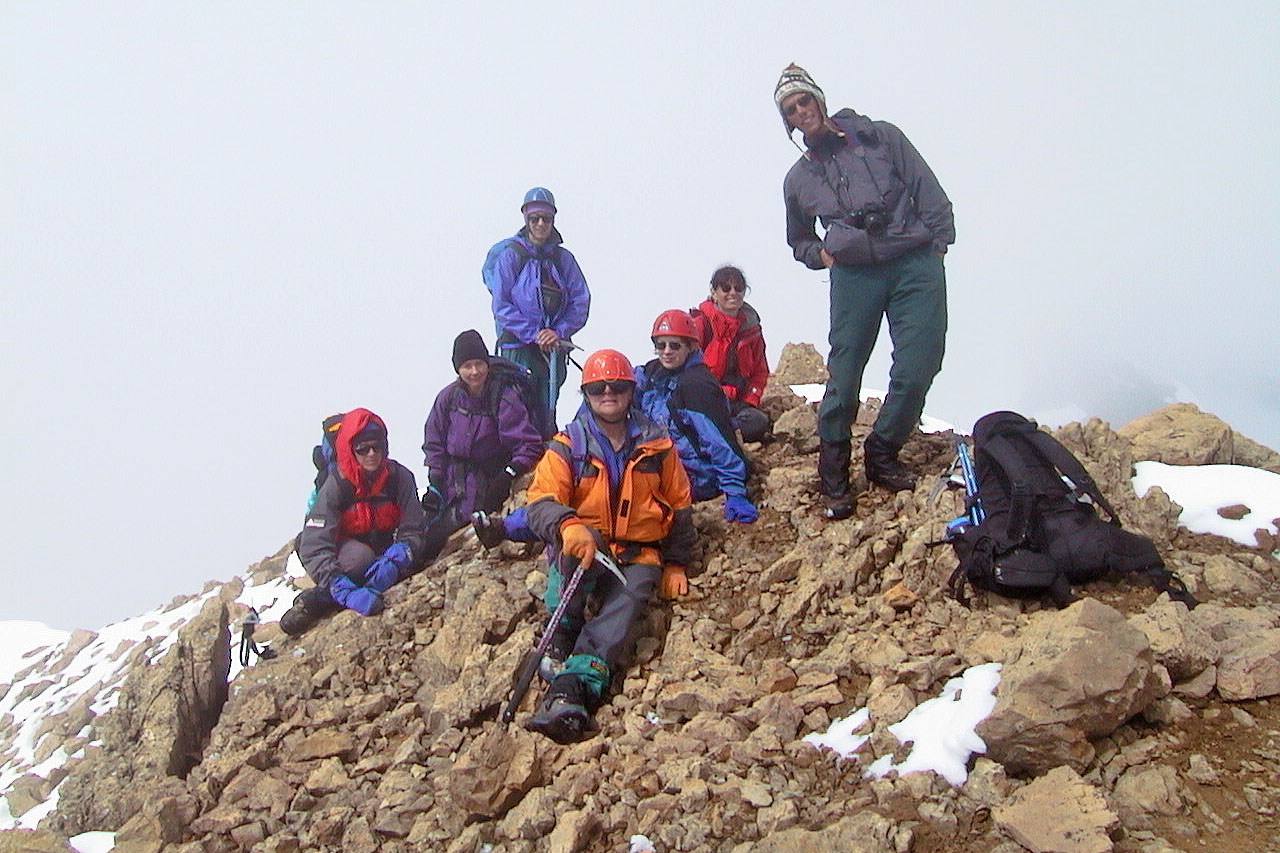
Group shot near the summit
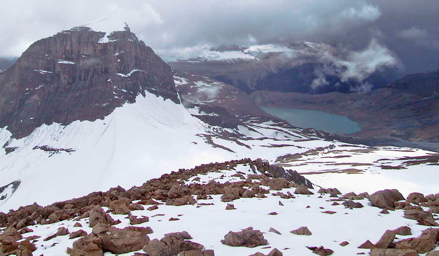
On the way back, we had a clear view of Mount Daly
Heading back across the snow field
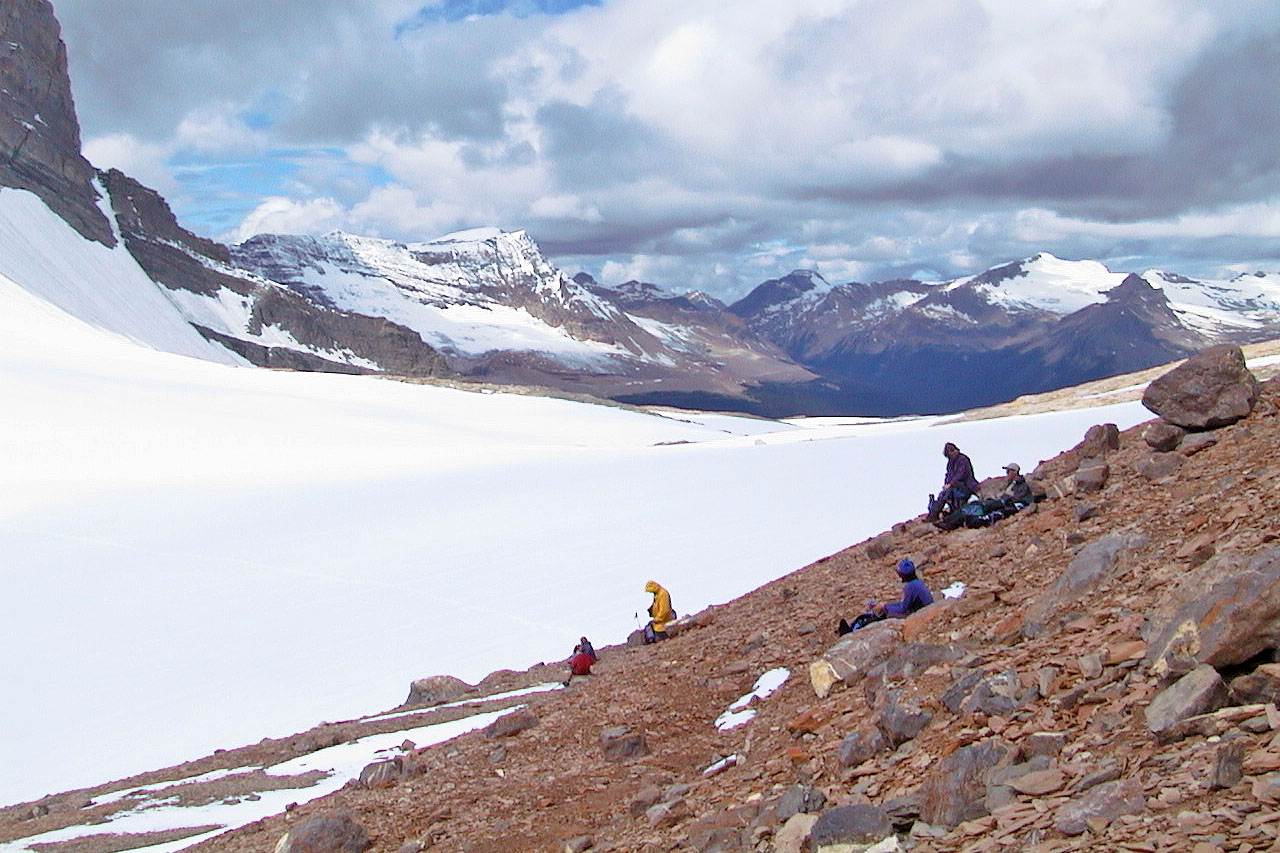
Going down to Niles Meadow
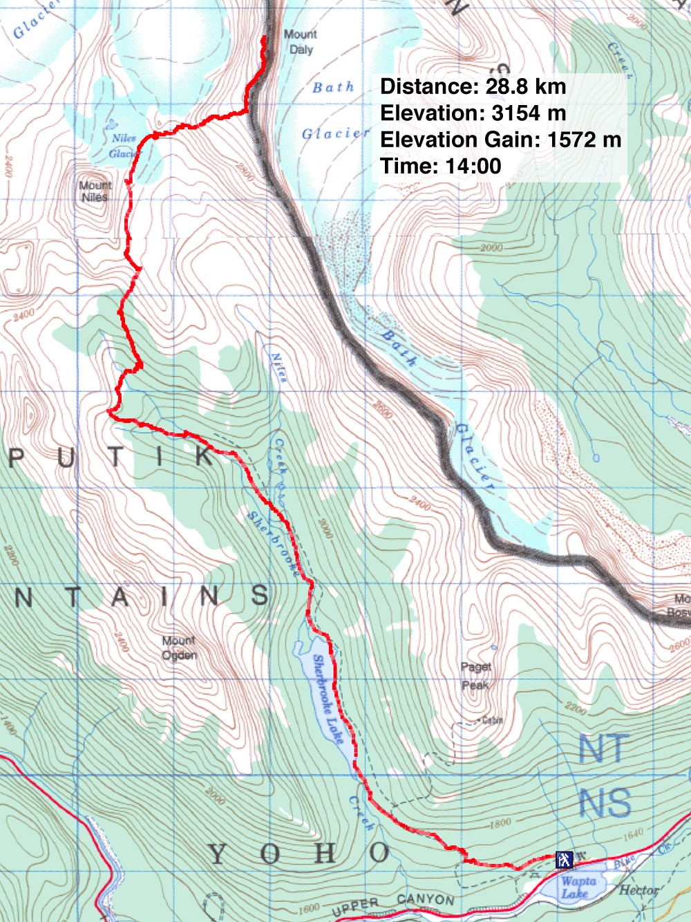
82 N/9 Hector Lake, 82 N/8 Lake Louise