bobspirko.ca | Home | Canada Trips | US Trips | Hiking | Snowshoeing | MAP | About
Rawson Ridge
aka Rawson Lake Ridge, Sarrail Ridge
Kananaskis, Alberta
September 19, 2024
Distance: 11.2 km (7.0 mi)
Cumulative Elevation Gain: 800 m (2625 ft)
Bracketed by cobalt lakes on either side, Rawson Ridge offers scenery that few peaks can match. Upper Kananaskis Lake is on the north side while Rawson Lake lies south. A popular trail runs to Rawson Lake and up the ridge. It continues along the ridge but stops at the rock band guarding the two summits. The usual way up is a difficult, exposed scramble. My days of difficult scrambling are behind me, but fortunately, there's an easier option, an easy scramble up a break in the rock band.
Even though Doug Robson had climbed it just weeks ago using the difficult route, he was willing to join me. He calls Rawson Ridge one of his favourites.
From the Upper Lake parking lot, we hiked 1.2 km up the trail and turned onto Rawson Lake Trail. We followed the trail to the lake and along the shore to the end of the lake where it begins a steep climb to the ridge. It truly is steep.
On the ridge, we took a moment to look down at the large lakes before we continued up the ridgeline trail. Before reaching the cliff band, we turned onto a rough trail that soon disappeared. We continued down, mostly on loose scree, to the base of the rock band. After losing 35 m and turning a corner, we came to the break. Mindful of dislodging rocks, we scrambled up one at a time. At the top, a dense tree pressed against a rock wall. We squeezed through the tight gap to the grassy slope on the other side.
We hiked up the slope to the summit on our right (the two summits are said to be equal in height). While we relaxed on top, someone joined us. Gord is an avid scrambler from Canmore. After chatting, Doug and I left him and started down the open ridge.
When we reached the treeline, we found a trail and followed it down into the forest. It was a good trail until it disappeared partway down the deep slope. We continued down, bushwhacking to Rawson Lake Trail. Along the way, we ran into Gord. He too, lost the trail in the forest. The three of us made our way back to the main trail before separating. Doug and I followed the trail back to the Upper Kananaskis Lake trail. Following the undulating lakeshore trail back, we carped at having to hike uphill at times. It's funny how one hardly notices the ups and downs when starting a hike.
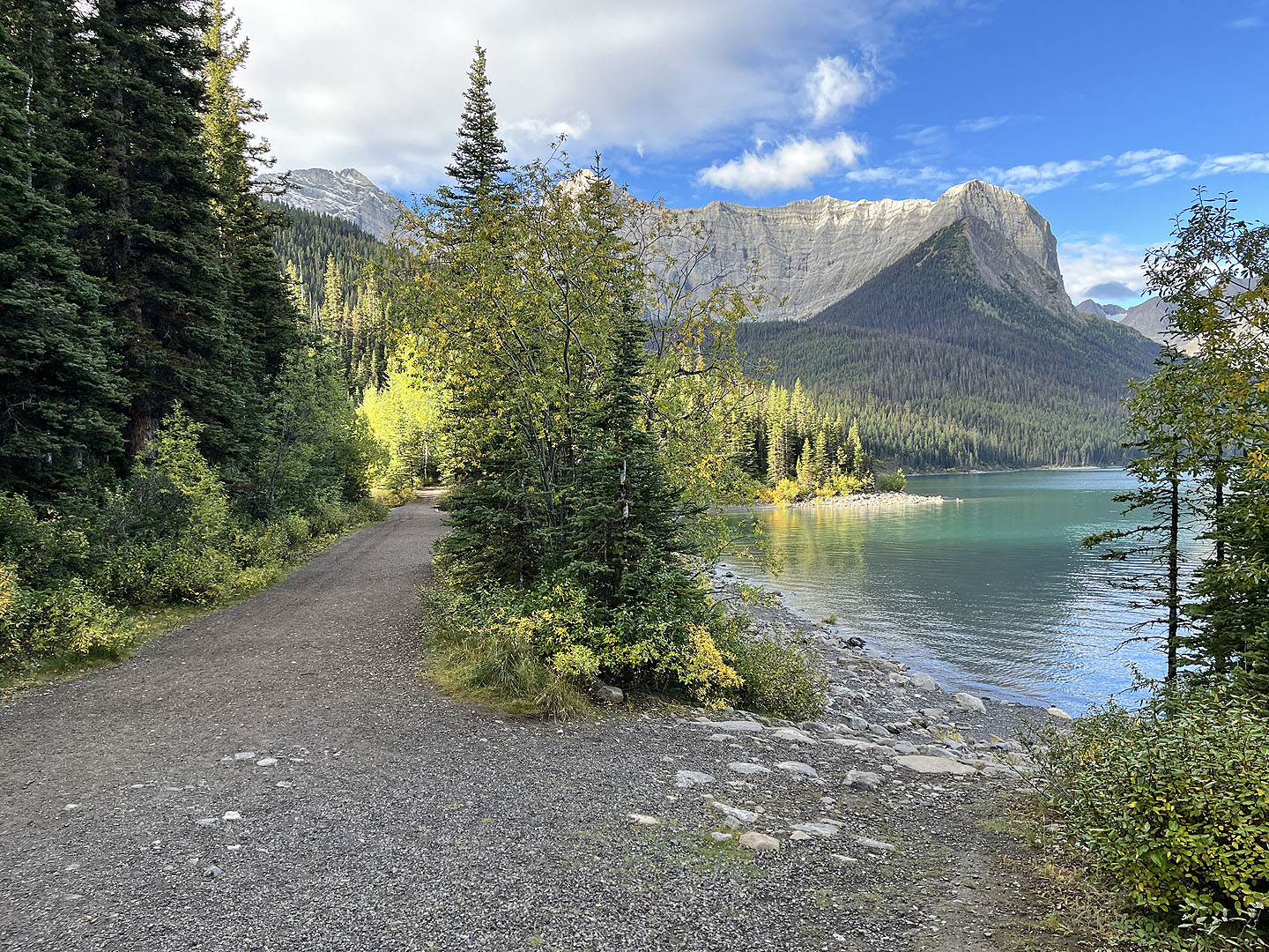 Rawson Ridge appears as the treed point on the right
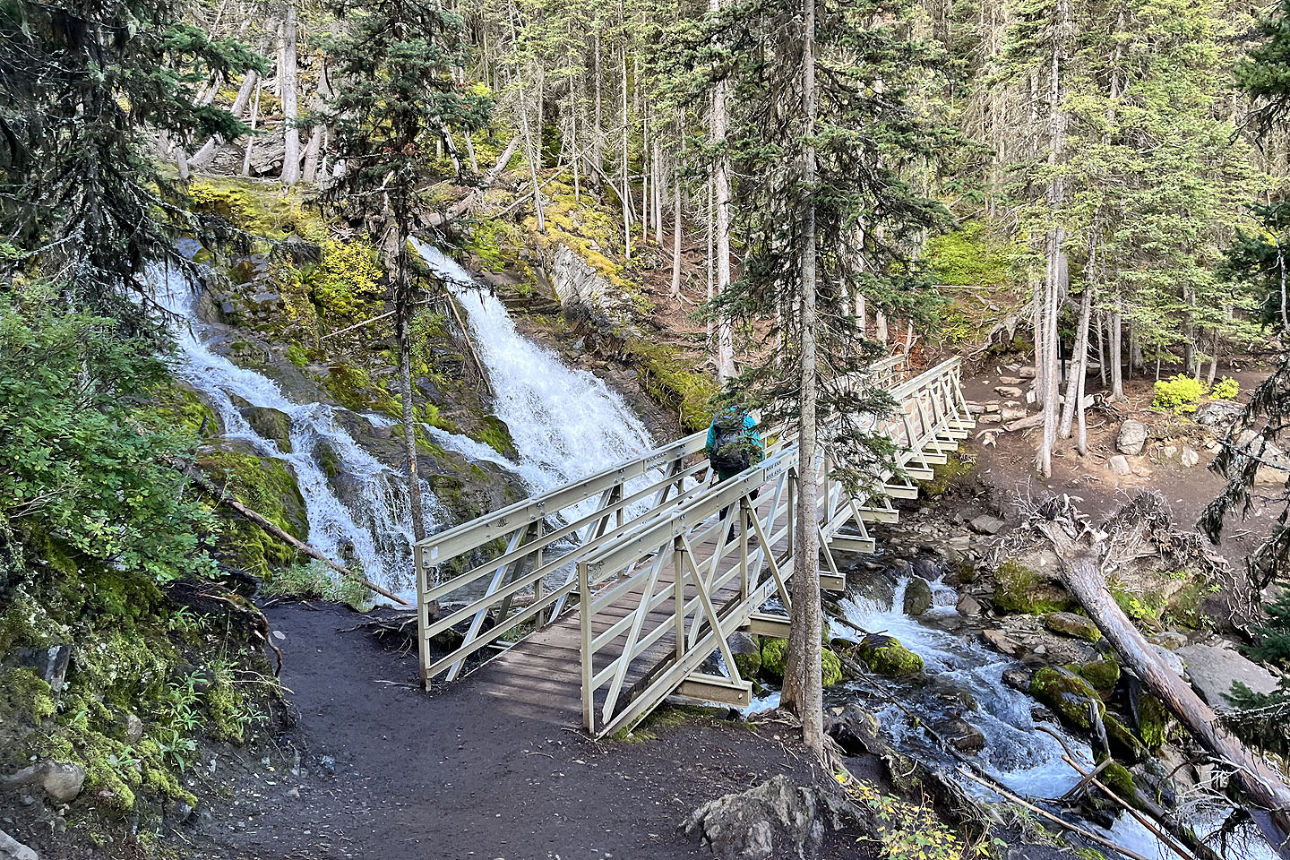 Crossing the bridge over Rawson Creek
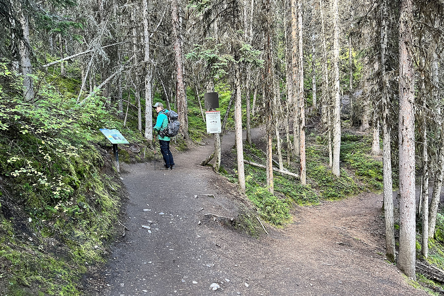 Doug stops to read the sign at the junction for Rawson Lake
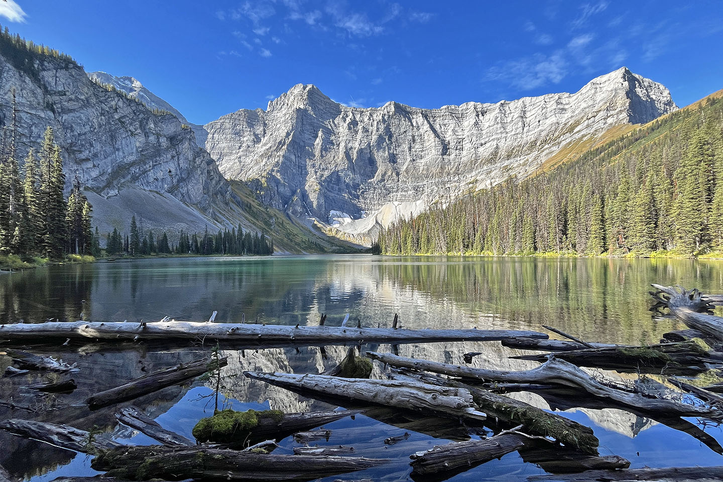
Looking across the lake from the east end
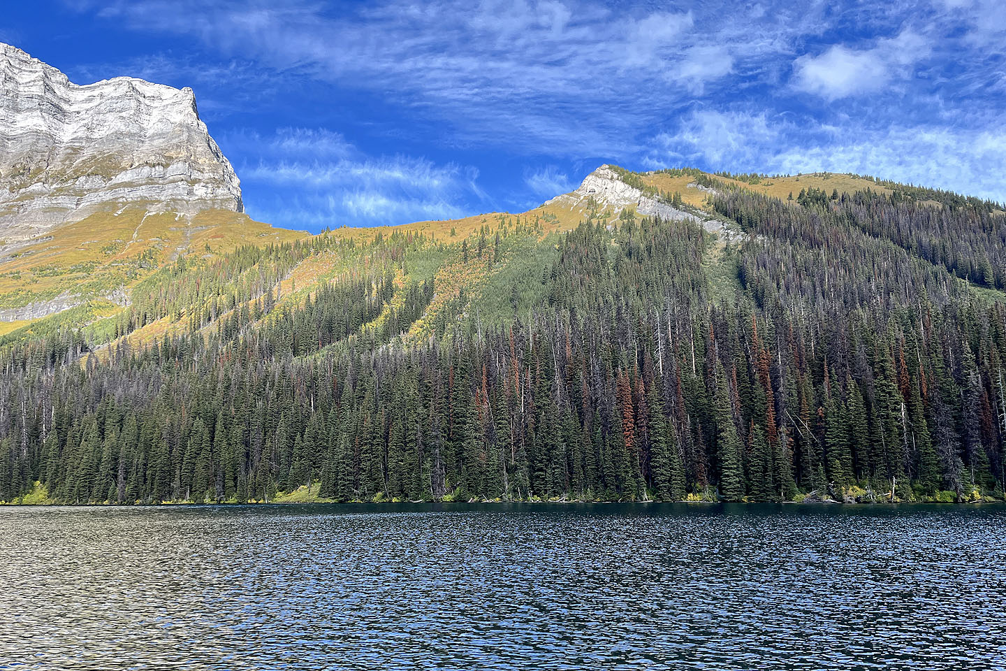 Halfway along the lakeshore, we had a clear view of Rawson Ridge
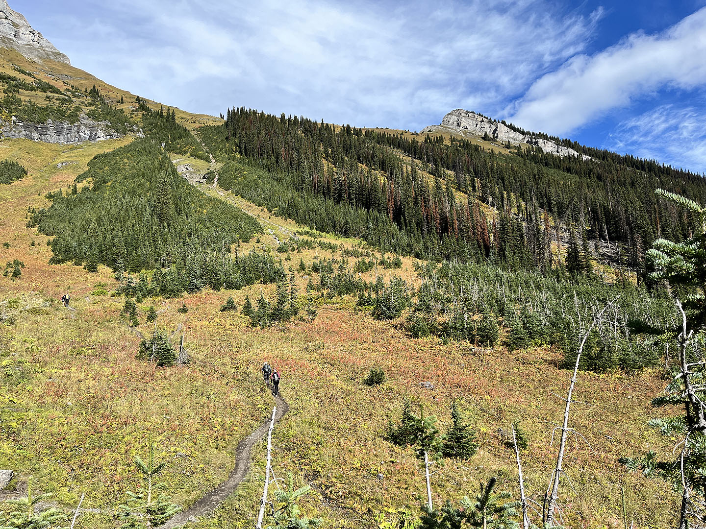 At the far end of the lake, the trail starts up the ridge
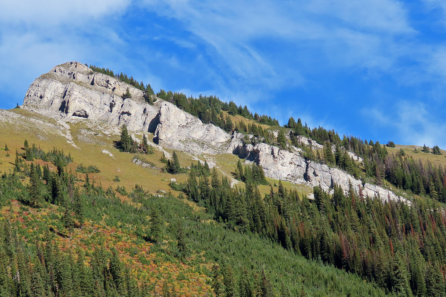 A close look at the cliff band below the summit. We climbed the break in the centre (mouse over for a close-up).
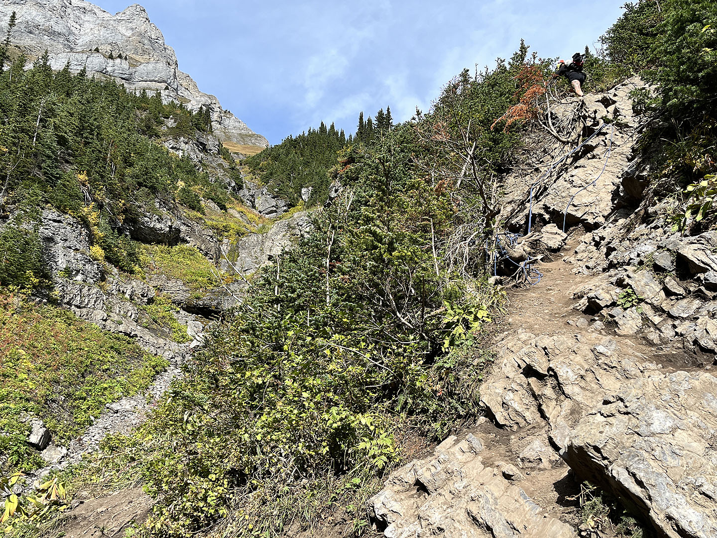 Partway up, a rope aids in a short climb up rocks
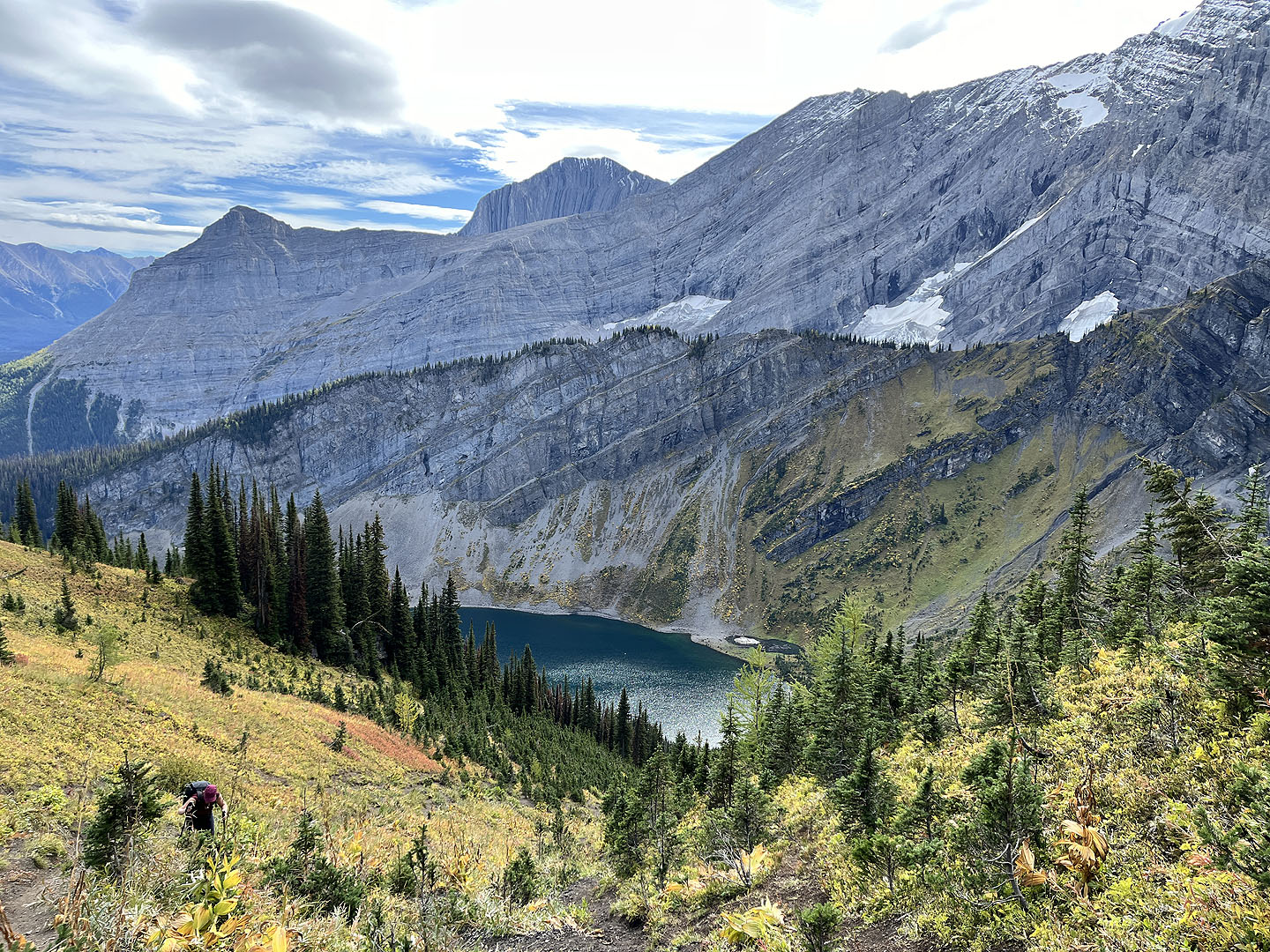 Looking down at the lake
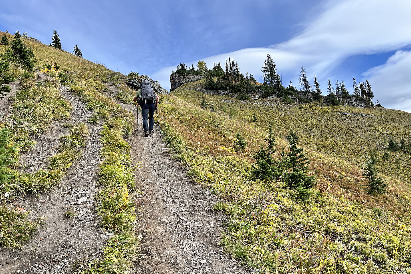 Coming up to the ridge
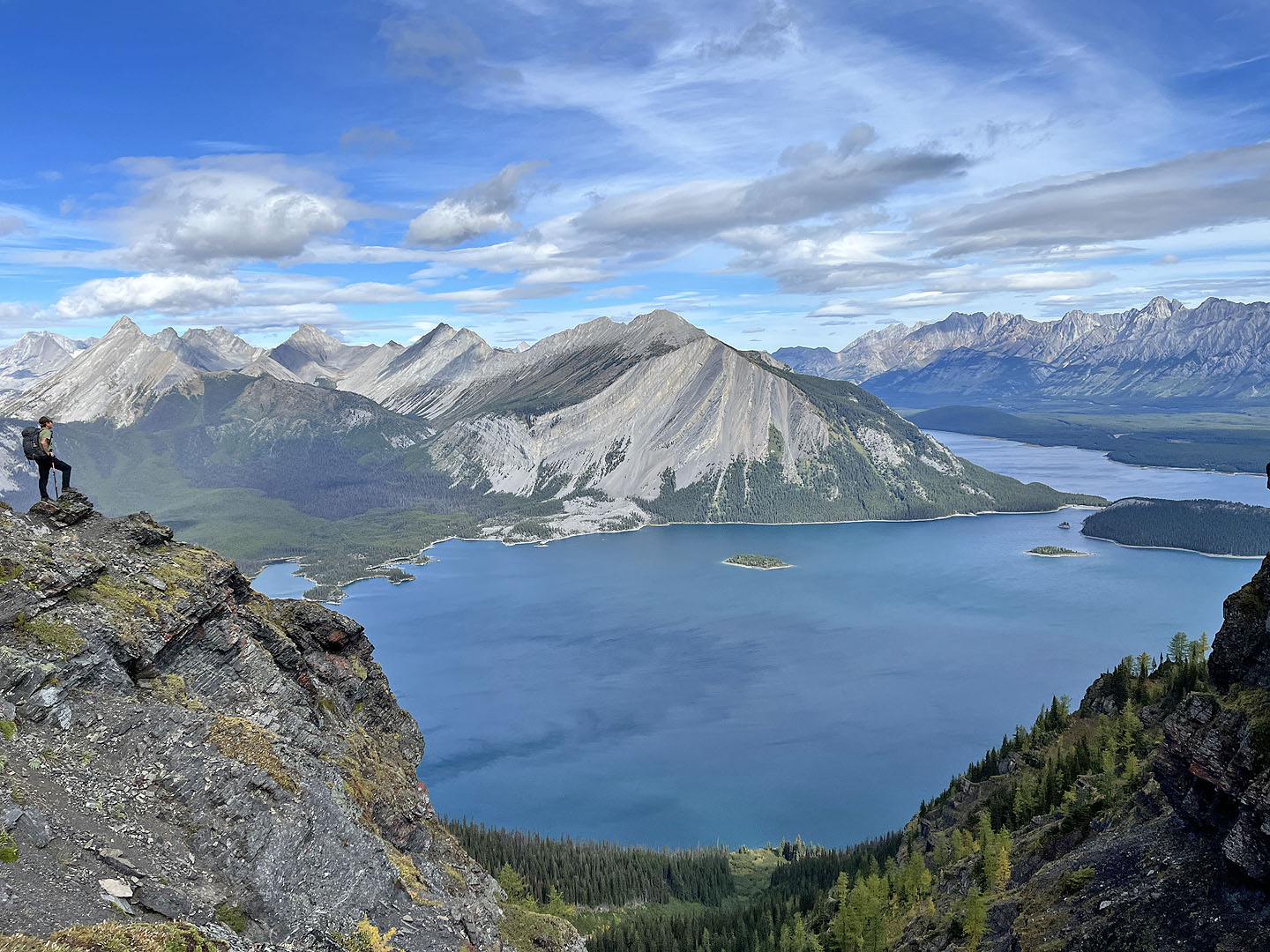 Doug takes in Upper Kananaskis Lake from a view point
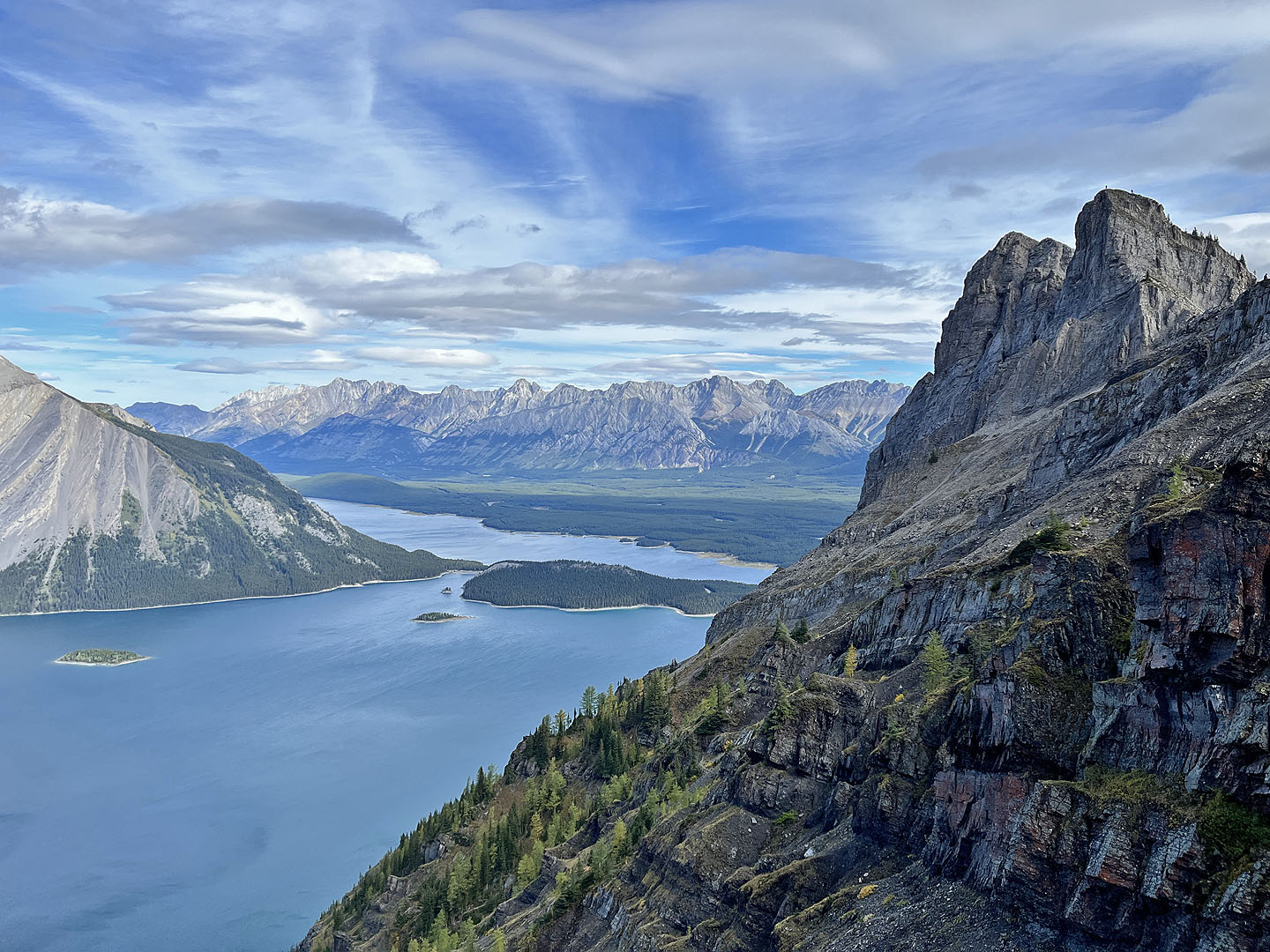 Looking at the two summits from the viewpoint. Two people appear on the first summit.
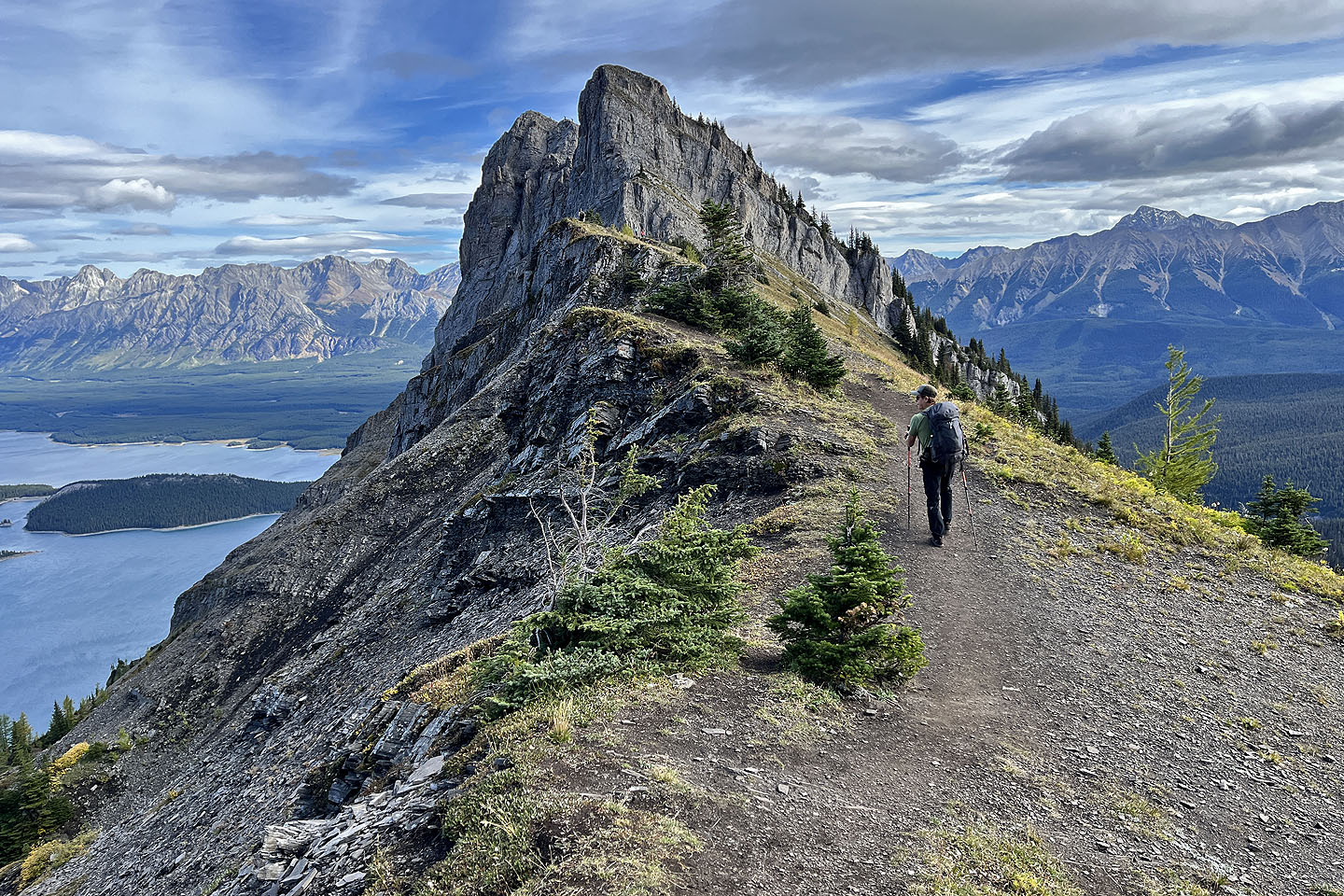 Continuing along the ridge
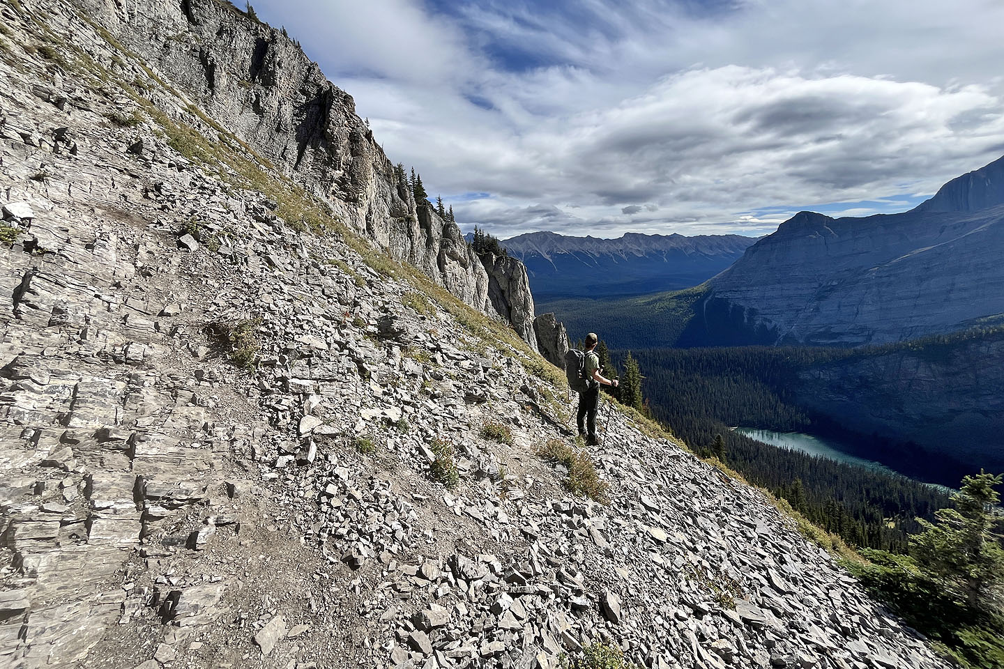 Starting down a crude trail to the break
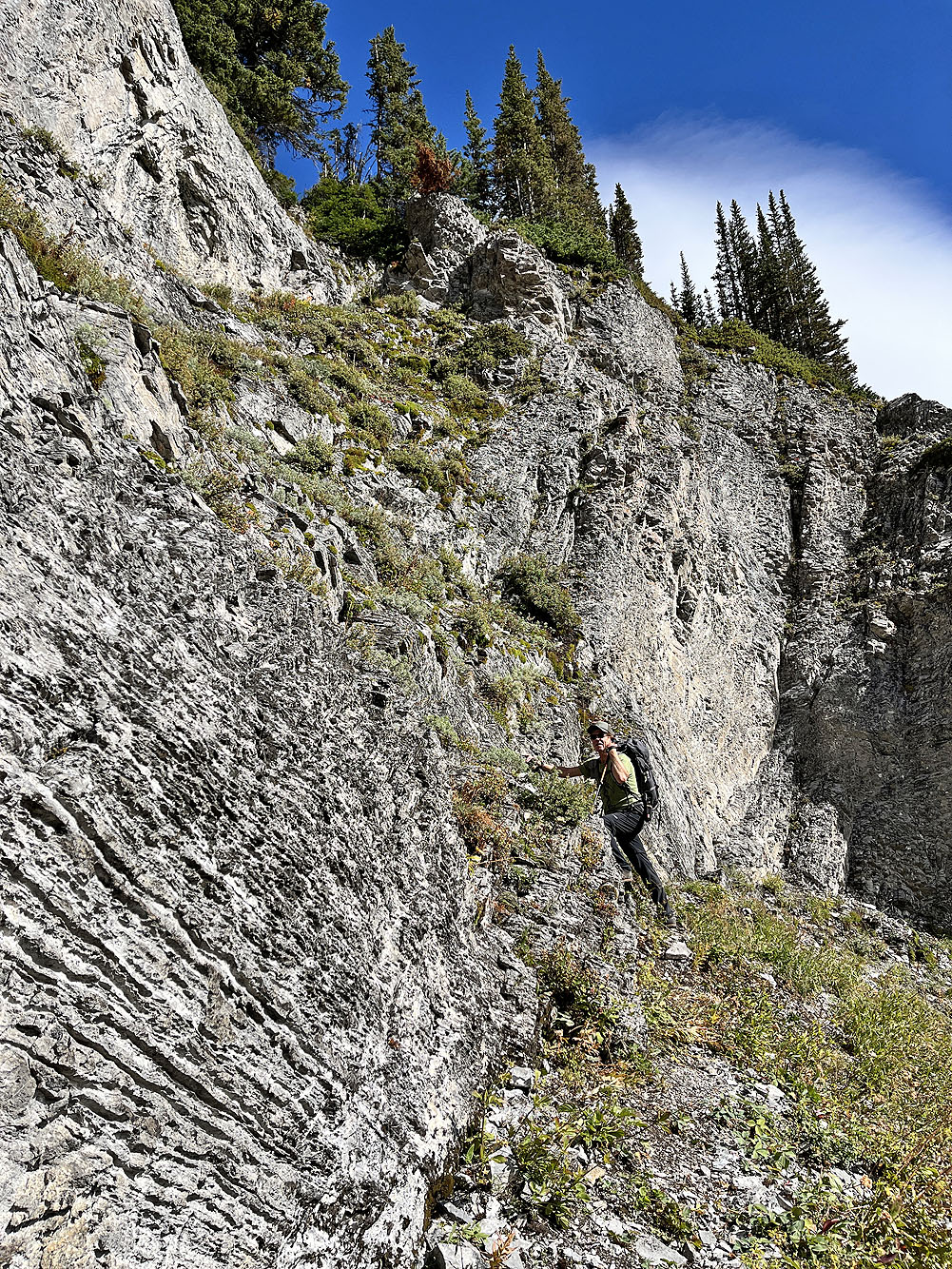
Doug starts up the break
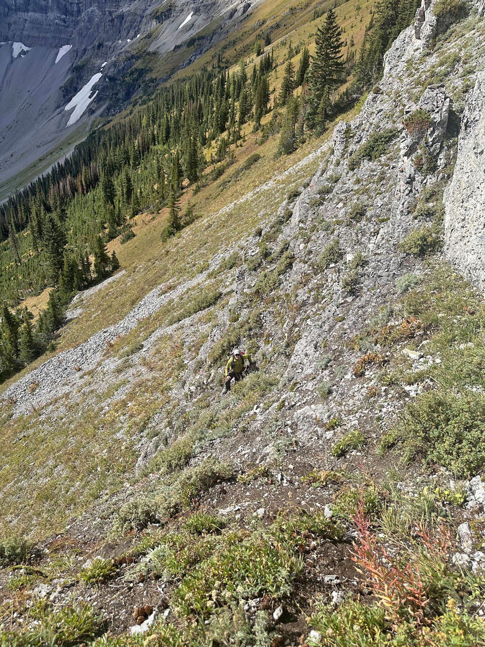
Looking down as I started up
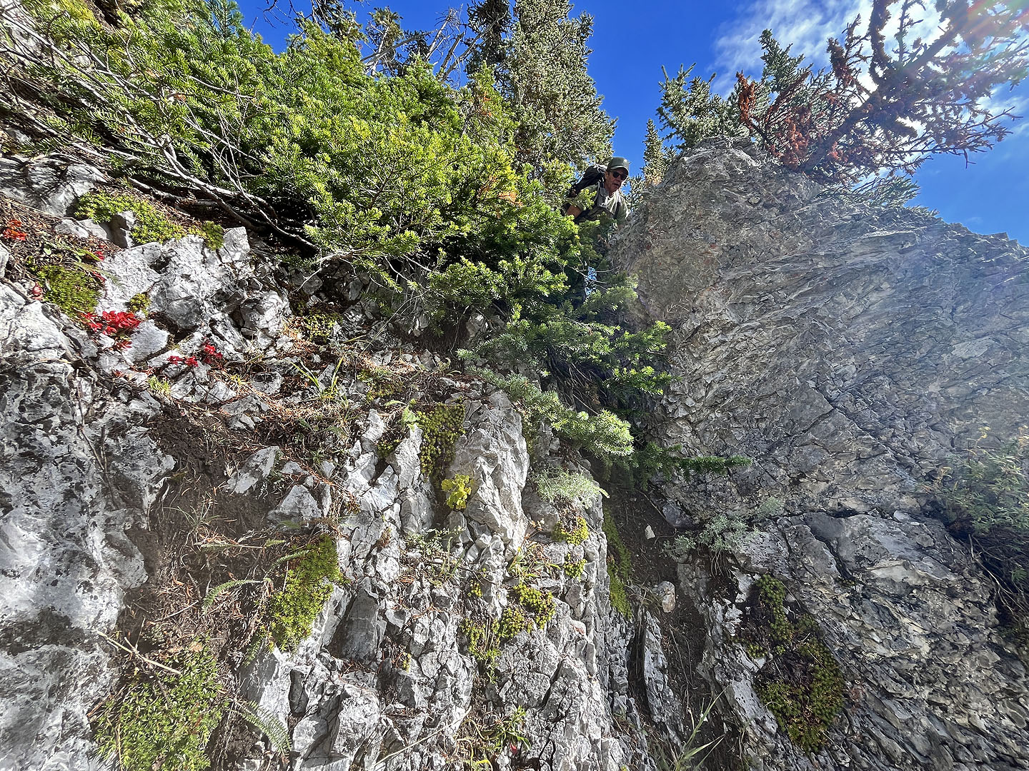 Doug reaches the top. The gap is tighter than it looks (mouse over).
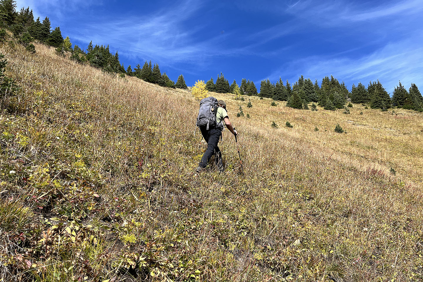 Starting up the slope after the scramble
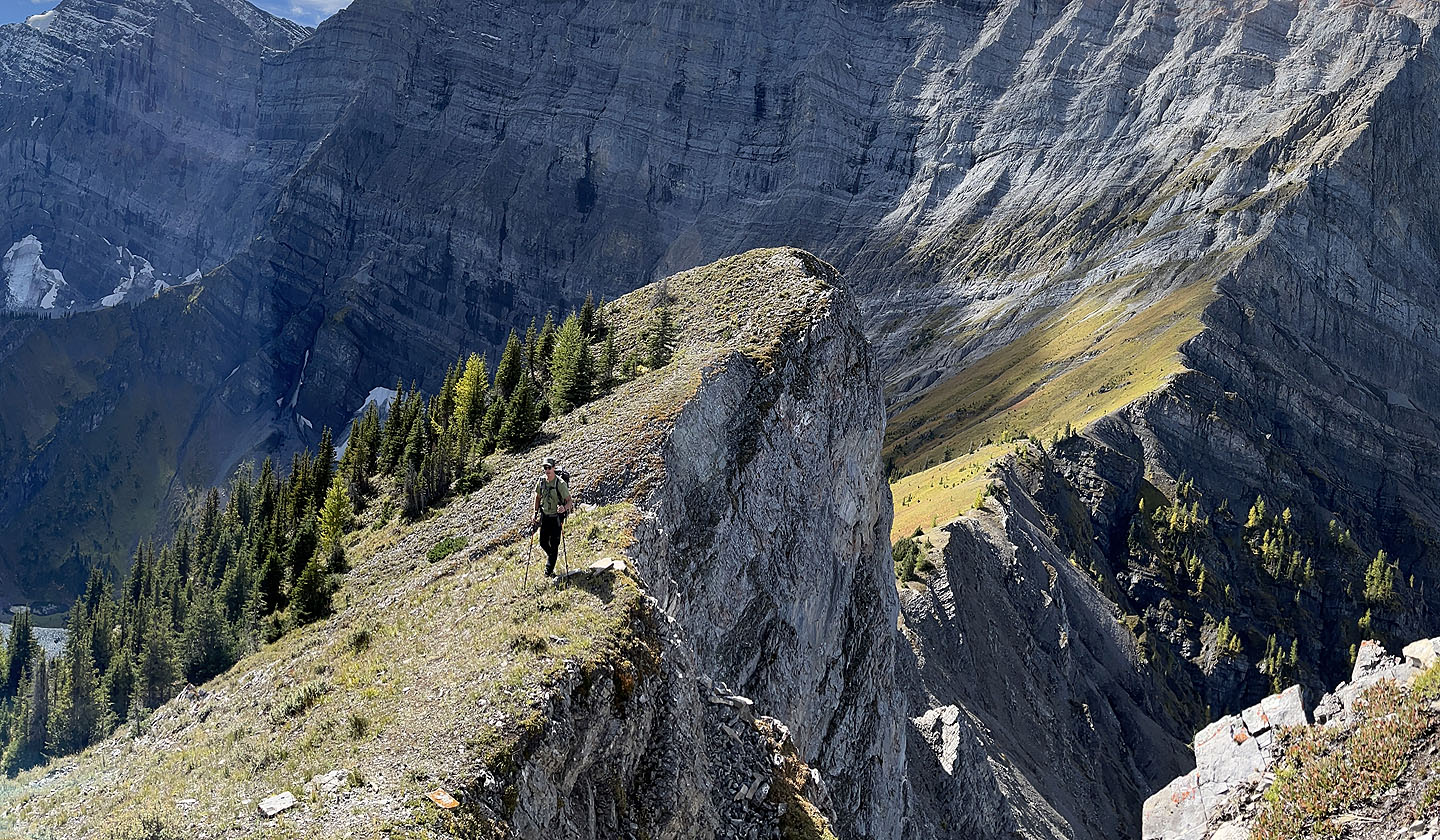 On the ridge looking back at the first summit
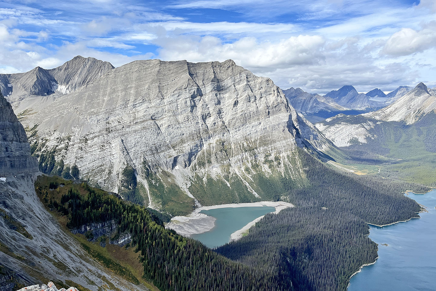 Hidden Lake
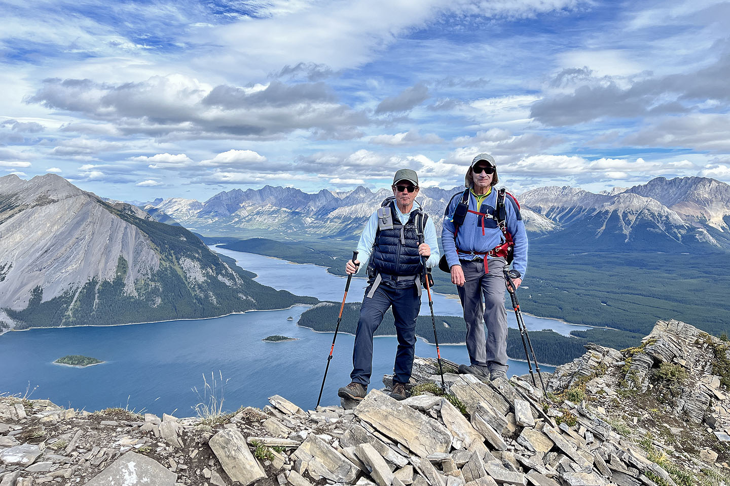 Standing on the summit
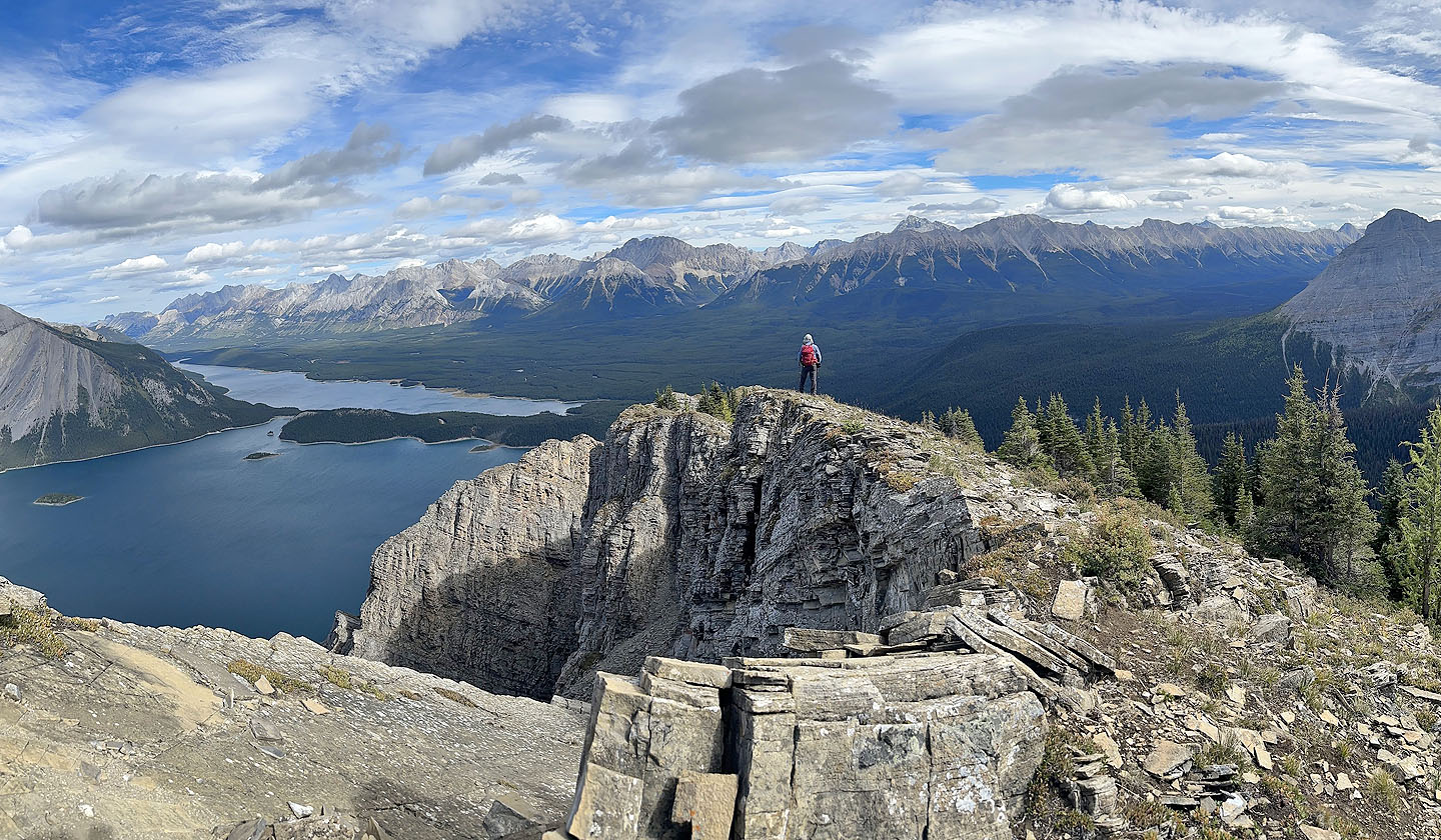 Continuing down the ridge
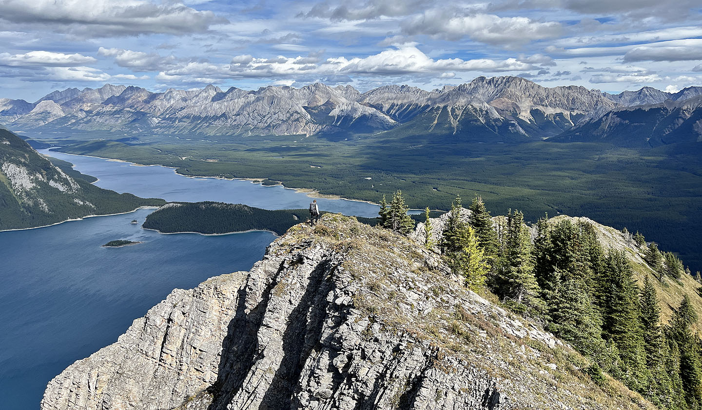 We followed the open ridge down
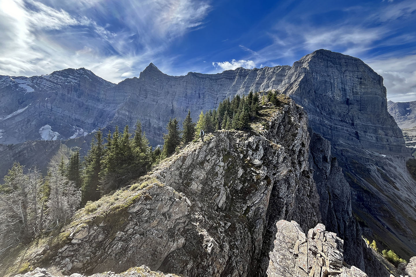 Looking back along the ridge. Mount Sarrail far left.
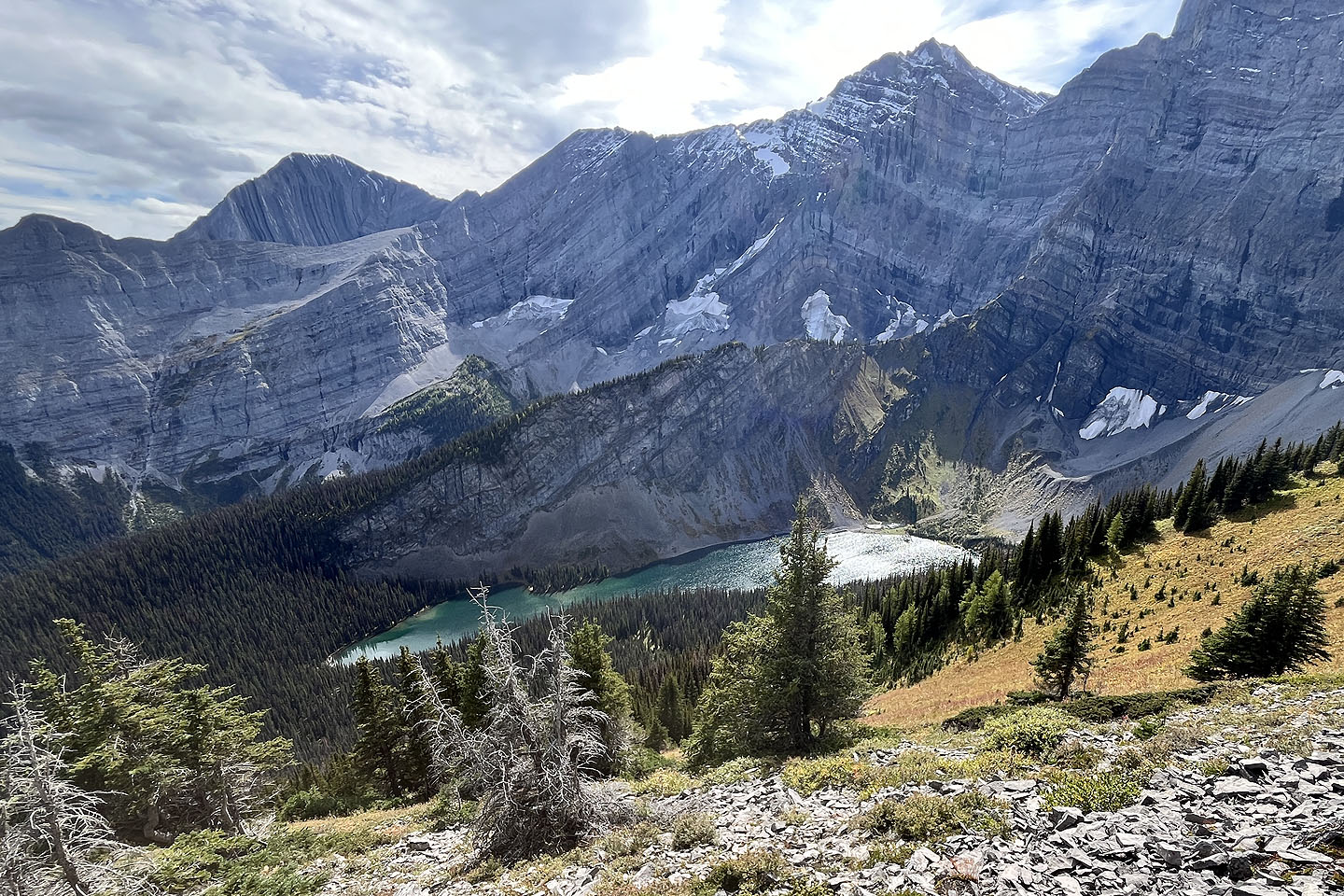 Rawson Lake
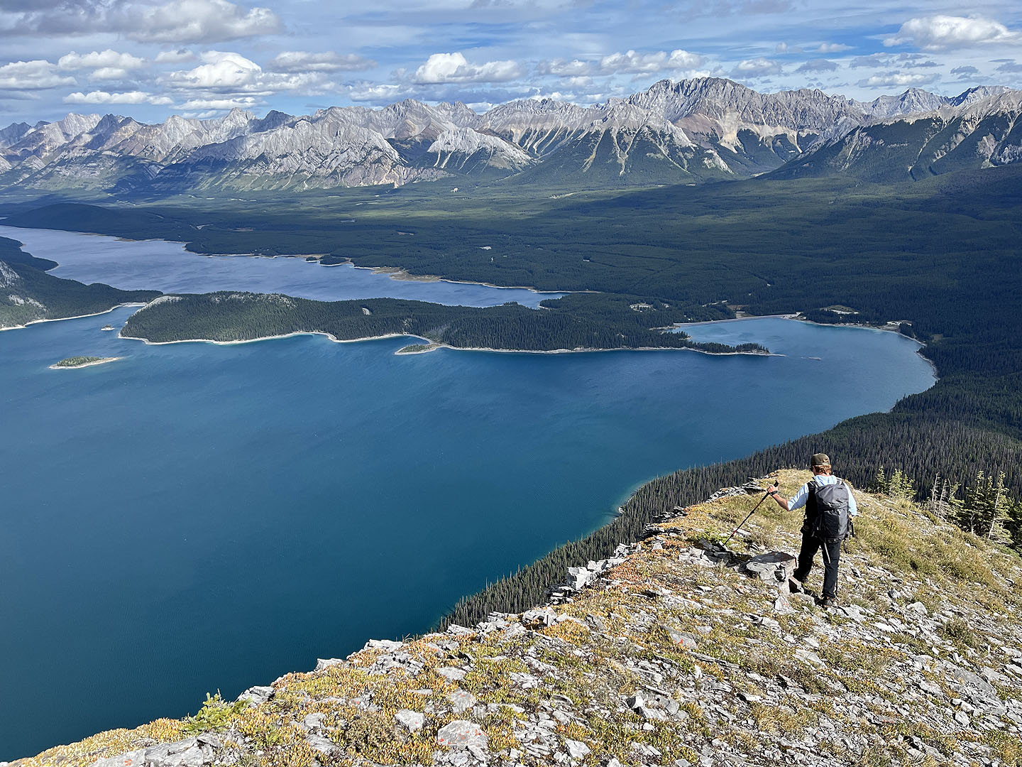 Continuing down the ridge
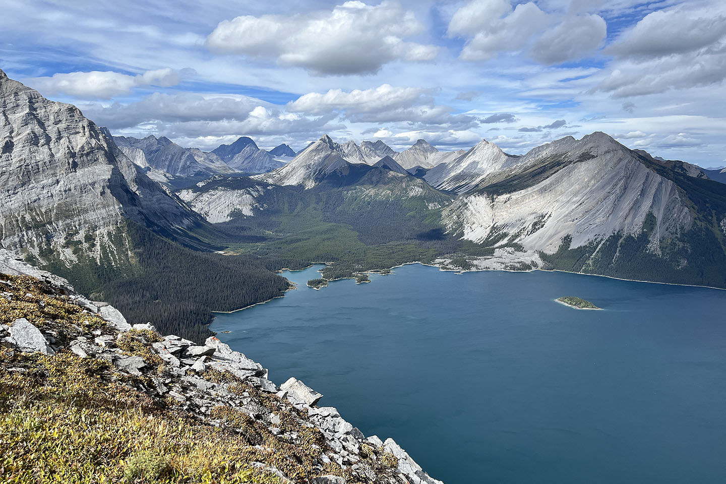 Looking northwest. Mount Indefatigable on the right.
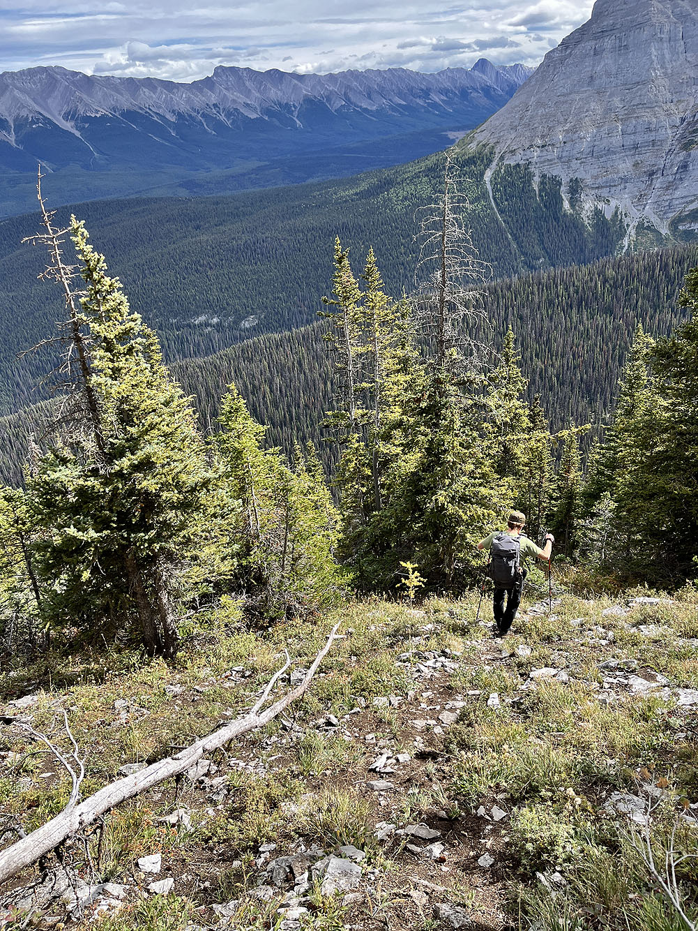
We picked up a trail going down the southeast slope
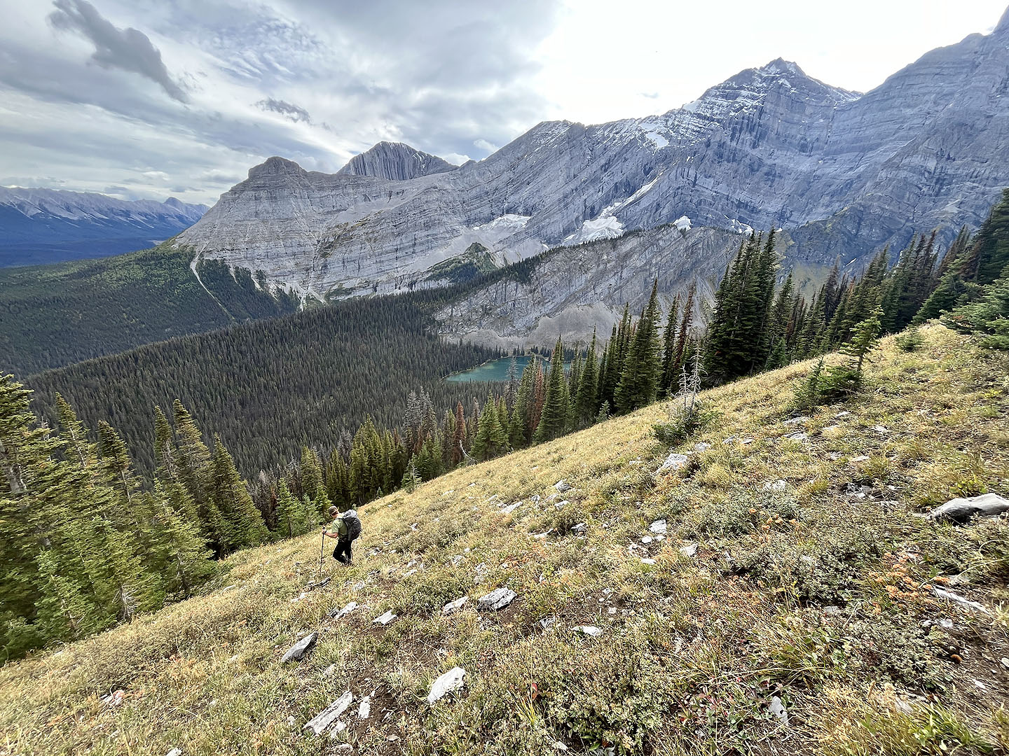 Left are The Turret and Mount Fox
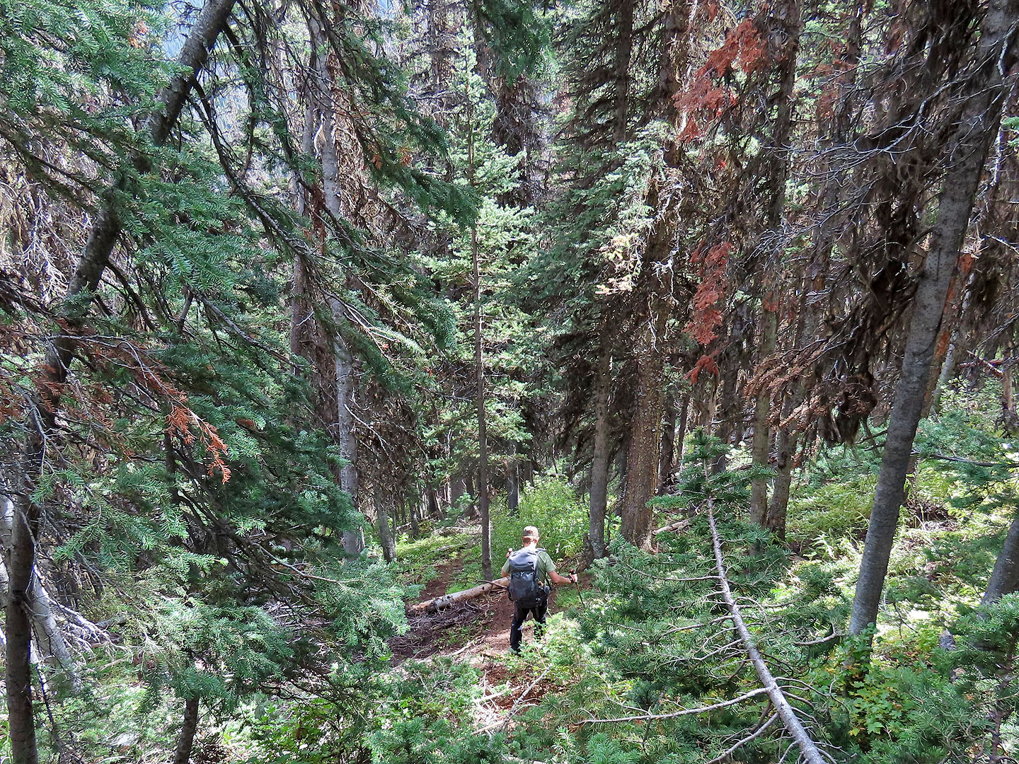 Following the trail in the forest
American three-toed woodpeckers are a rare sight
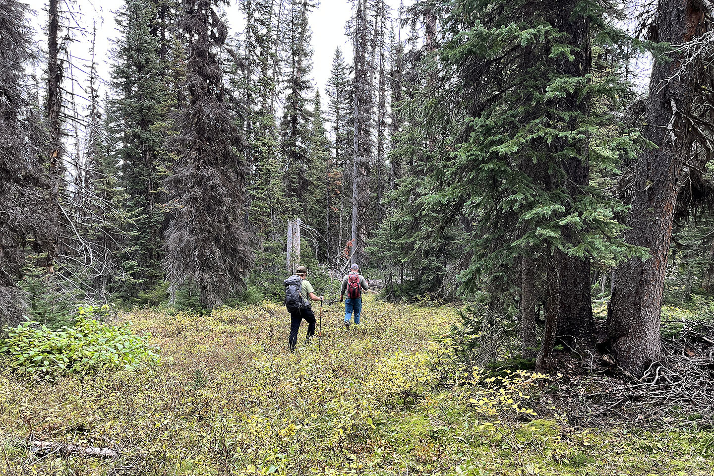 After losing the trail, we ran into Gord. The three of us bushwhacked to Rawson Creek.
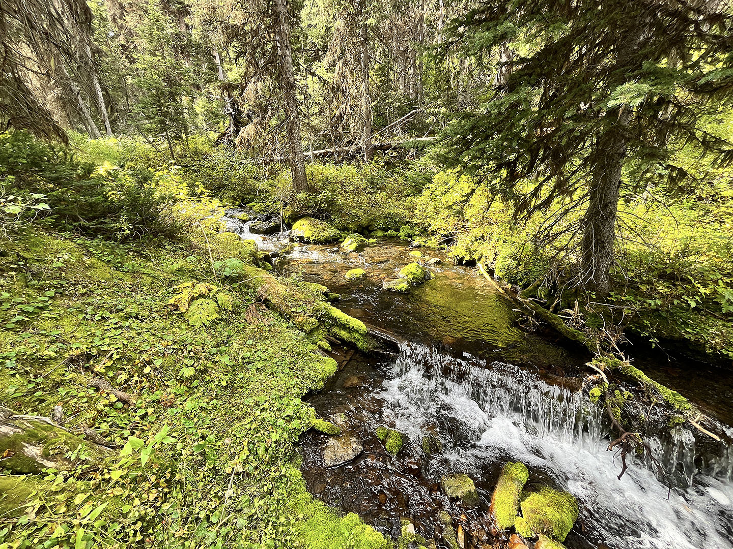 We easily crossed on stones in the creek
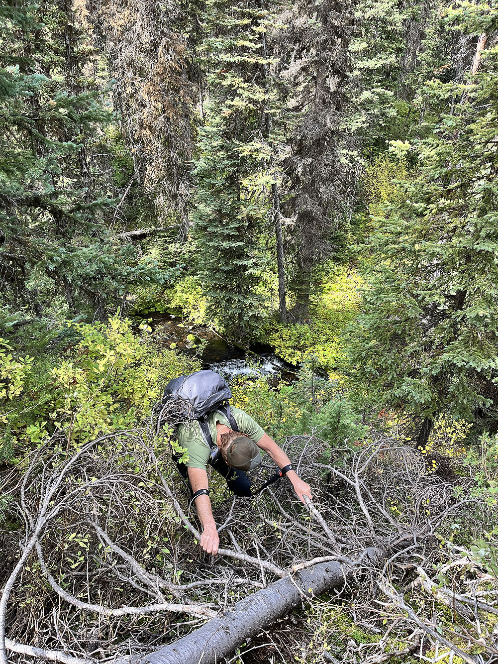
It's a steep climb up the other side
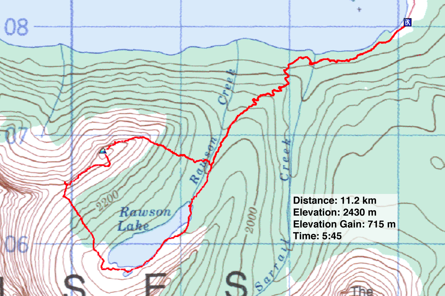 82 J/14 Spray Lakes
