bobspirko.ca | Home | Canada Trips | US Trips | Hiking | Snowshoeing | MAP | About
The Turret
Kananaskis, Alberta
October 10, 2010
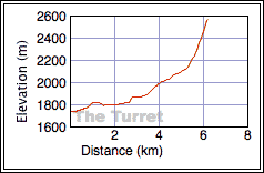
Distance: 12.4 km (7.7 mi)
Cumulative Elevation Gain: 880 m (2756 ft)
After ascending The Turret I didn't know whether I was endeared to it or if I merely endured it. The summit view of Kananaskis Lakes was breathtaking, but the bushwhacking and the slog to the summit were lengthy.
I was drawn to The Turret after seeing reports on the Internet, notably Soistheman's web page. Dinah and I loosely followed his route; ours differed in that we hiked farther up the trail before leaving it, and at the treeline we took a more direct route to the summit.
We followed the Elk Pass Trail 2.6 km before leaving it, probably 200 m past the point where Soistheman exited. (After studying the terrain on Google Earth, I thought the trees appeared less dense here, a better place to bushwhack, although I can't be sure it made a whit of difference.) An easier but much longer approach would be to follow the ski trail, but that would still leave some bushwhacking.
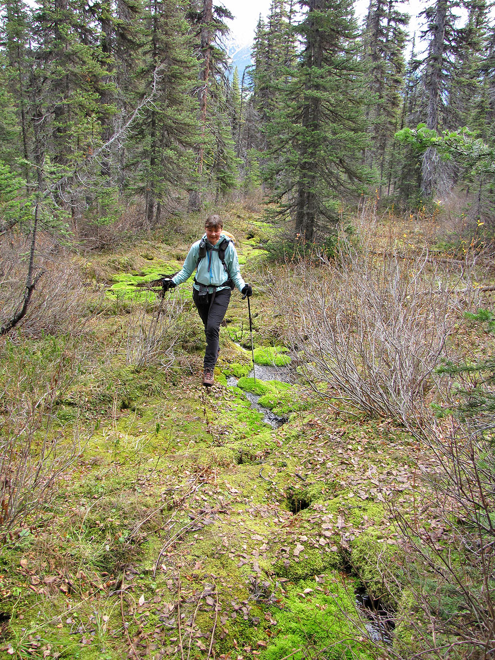
After leaving the trail, we skipped across Fox Creek and made our way up the treed slopes. At first travel was easy and often pleasant given the soft moss underfoot and the clearings in the trees. But the pleasantries soon ended when we found ourselves snarled in underbrush. Except for the intervening ski trail we crossed, there was no reprieve from bushwhacking. Not until we found a trail.
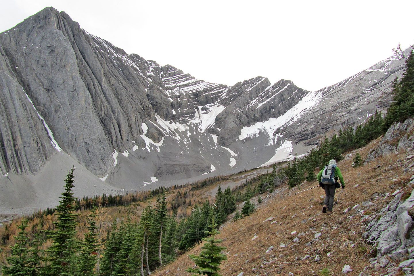
Sometimes faint, overgrown, or hidden by avalanche debris, the trail wasn't easy to follow, but it was better than bushwhacking. Eventually we came out of the trees. We followed a strip of grass lined with trees on our left and a cliff band on our right.
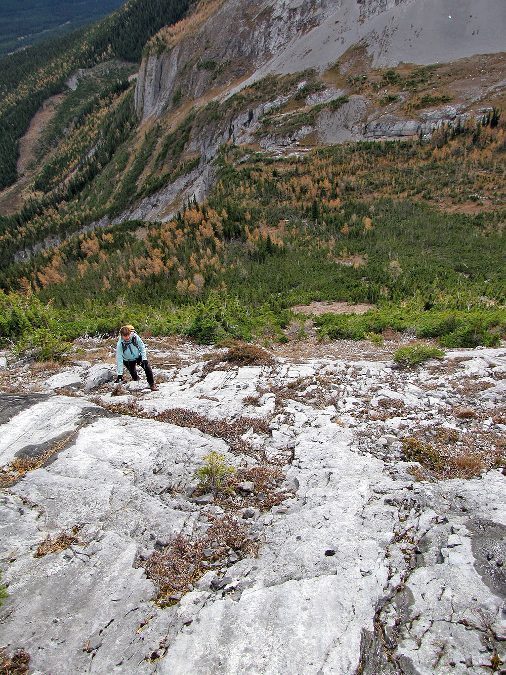
The cliff band ended at a wall of trees where we turned right, broke through some dwarf spruce and began climbing. No routefinding here: just go straight up a narrow drainage. We knocked off 200 m of elevation in this drainage. Below the summit block, and now on a broad scree slope, we angled left to gain the ridge. After cresting it, the summit was close at hand.
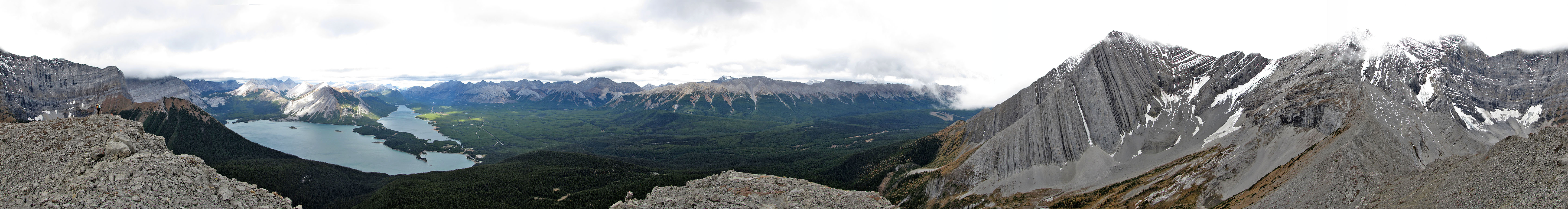
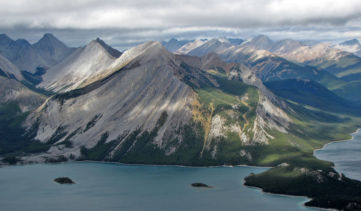
The first thing I noticed were the Upper and Lower Kananaskis Lakes stretched out below. While I stopped to admire the view, Dinah claimed the summit ahead of me. I soon joined her, but it was too windy to stay long on the top. We dropped down a bit and had lunch before beginning the trek back.
We retraced our steps except for one difference: we wanted to see where the overgrown trail went. It drifted left before bending back to intersect our bushwhacking route. Too bad it didn't continue.
In retrospect, I guess the bushwhacking and slogging weren't so bad to reach The Turret. Now I'm leaning away from “enduring” and more towards “endearing.”
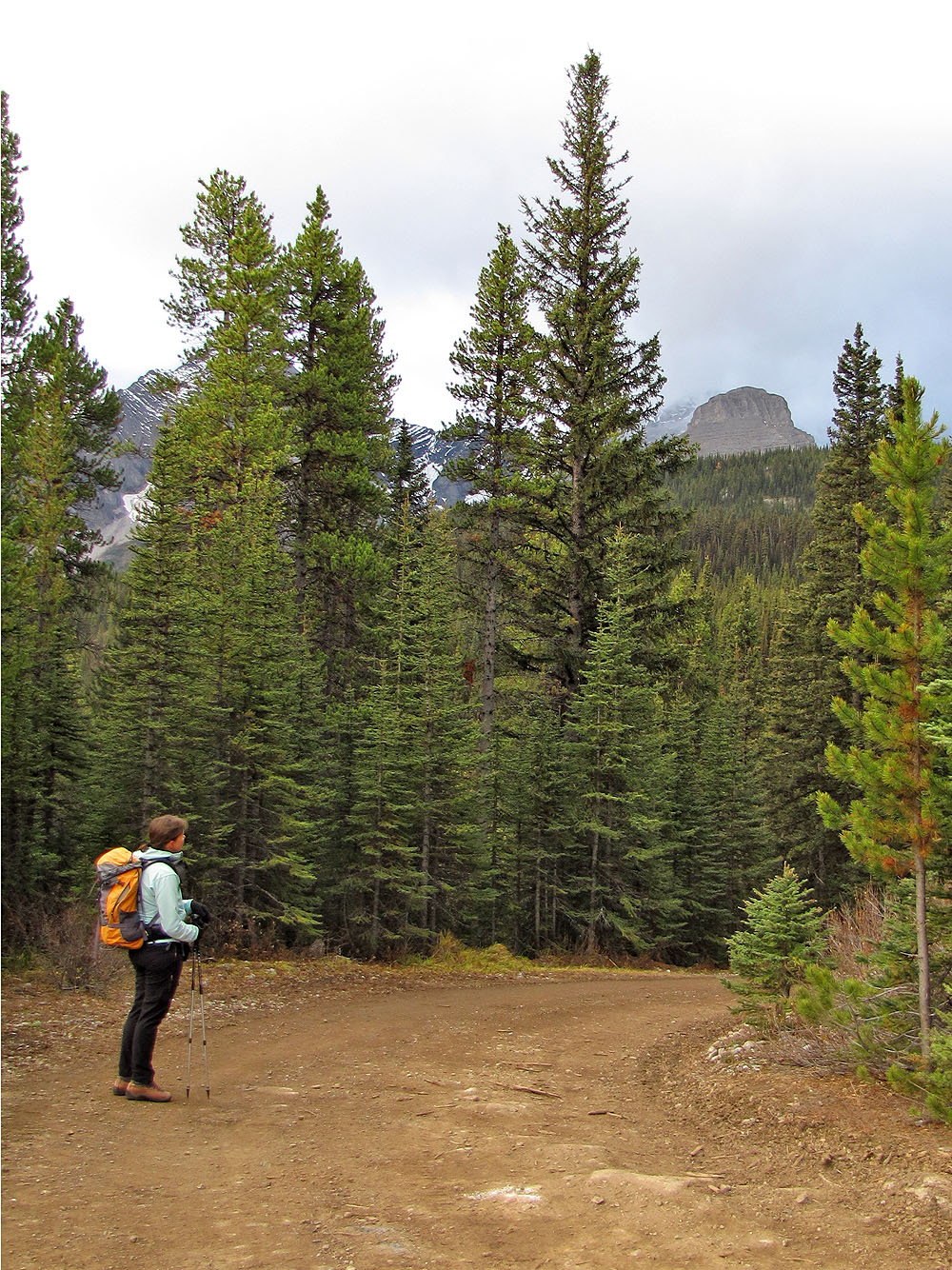
The Turret from the Elk Pass Trail
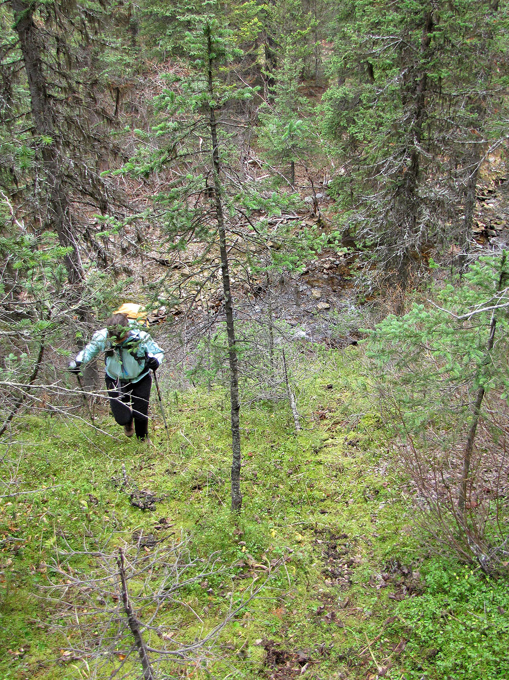
After crossing Fox Creek we ascended a steep, moss-covered slope
Open areas provided relief from bush bashing
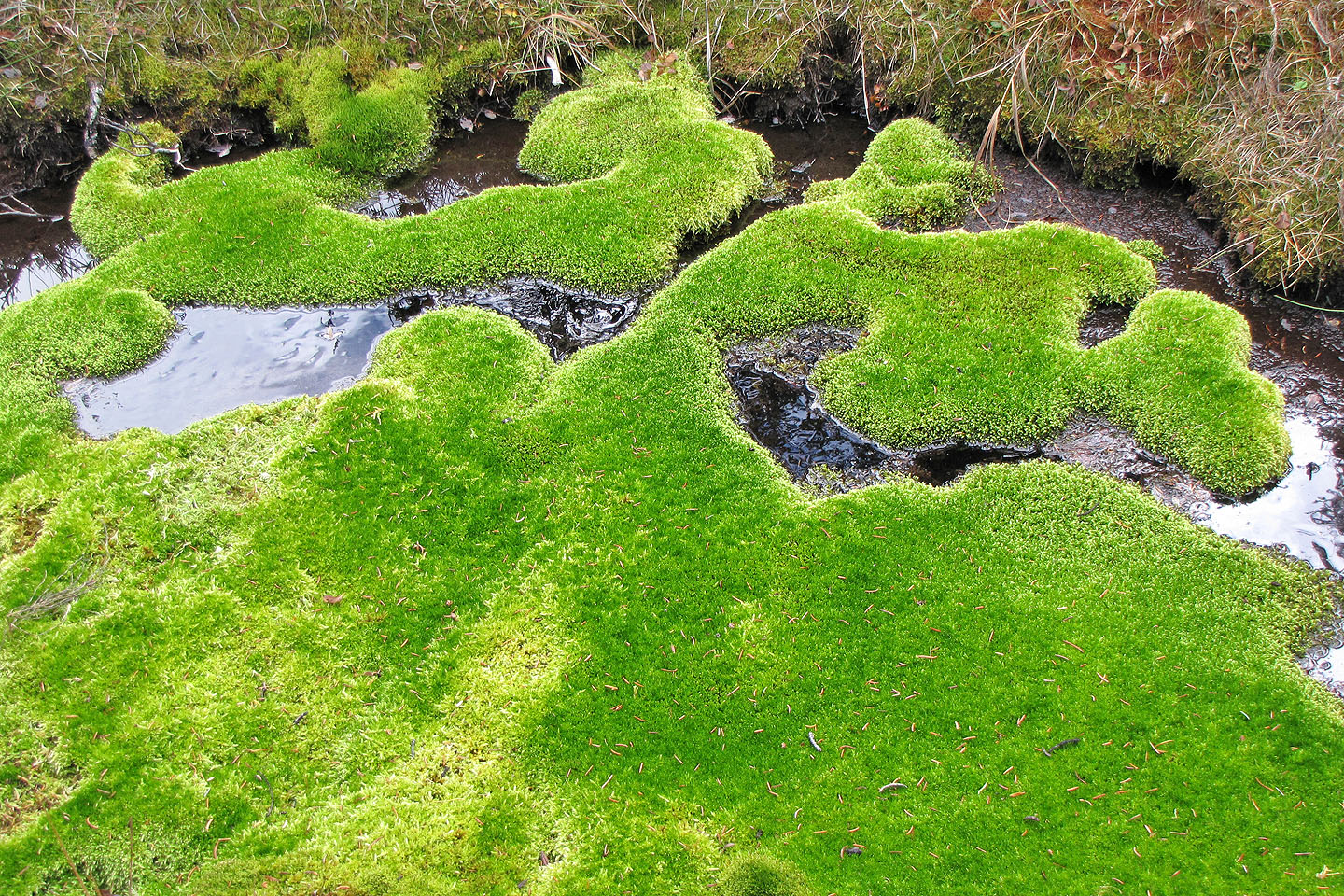
Bright green moss
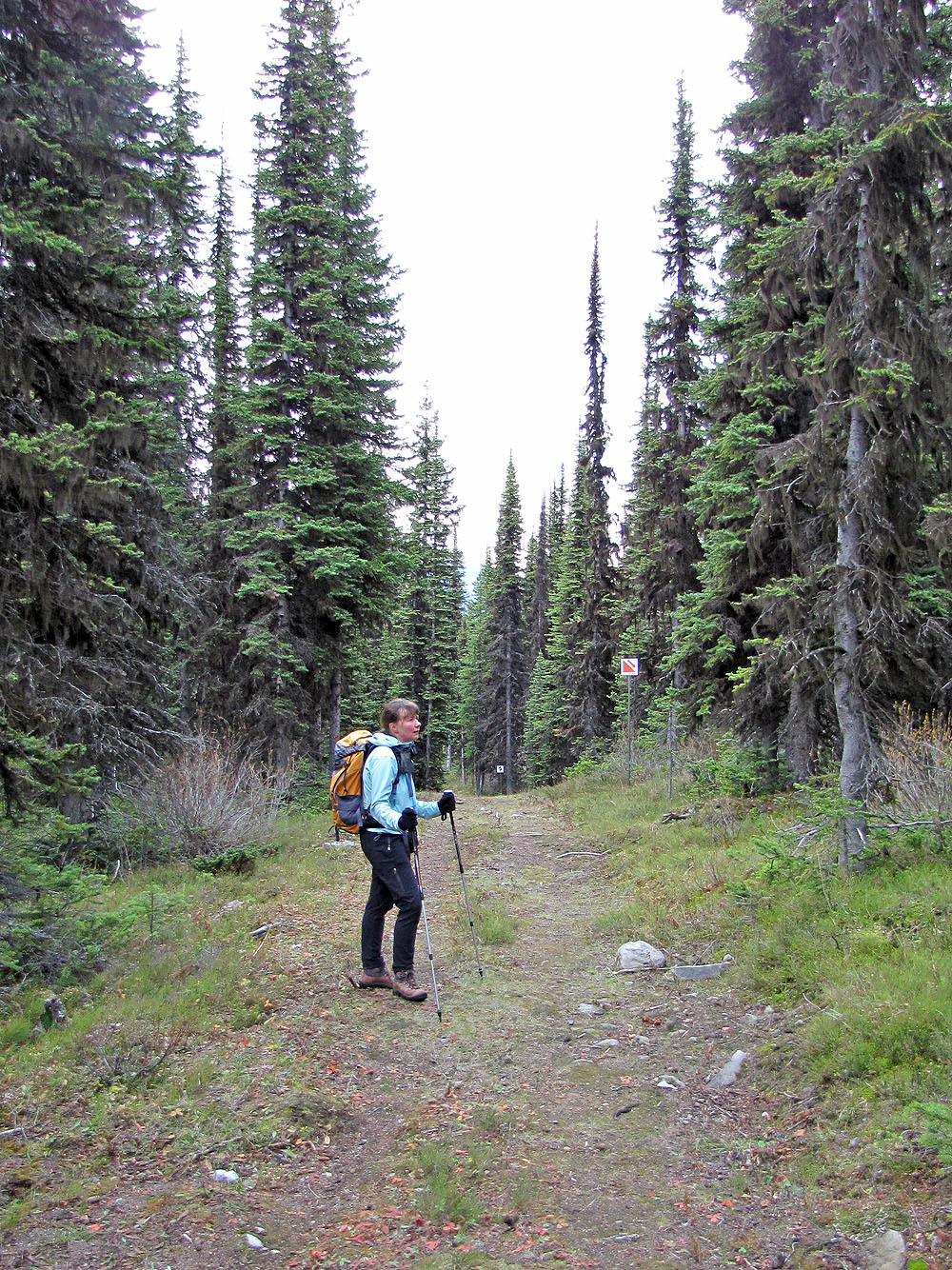
Crossing the ski trail
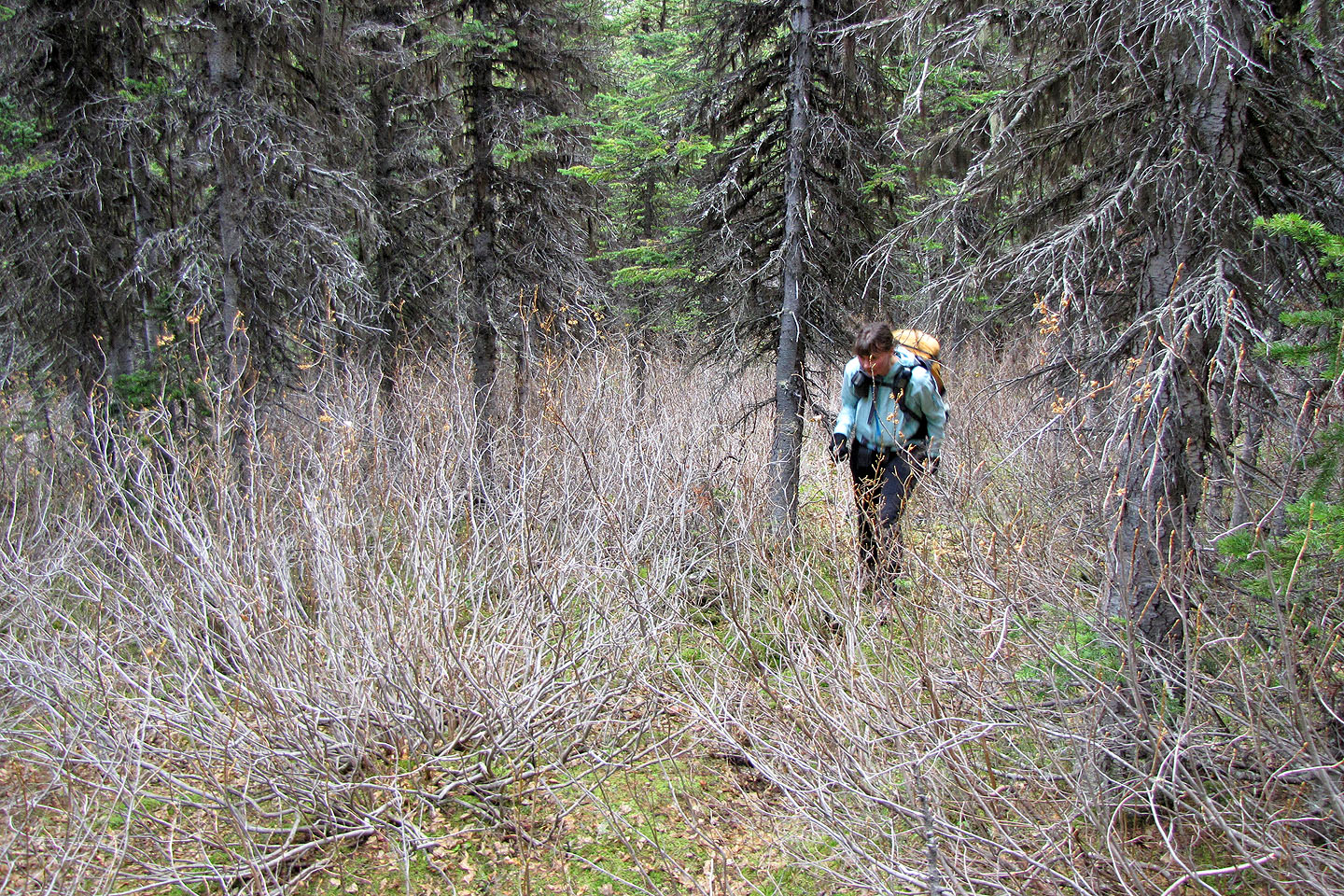
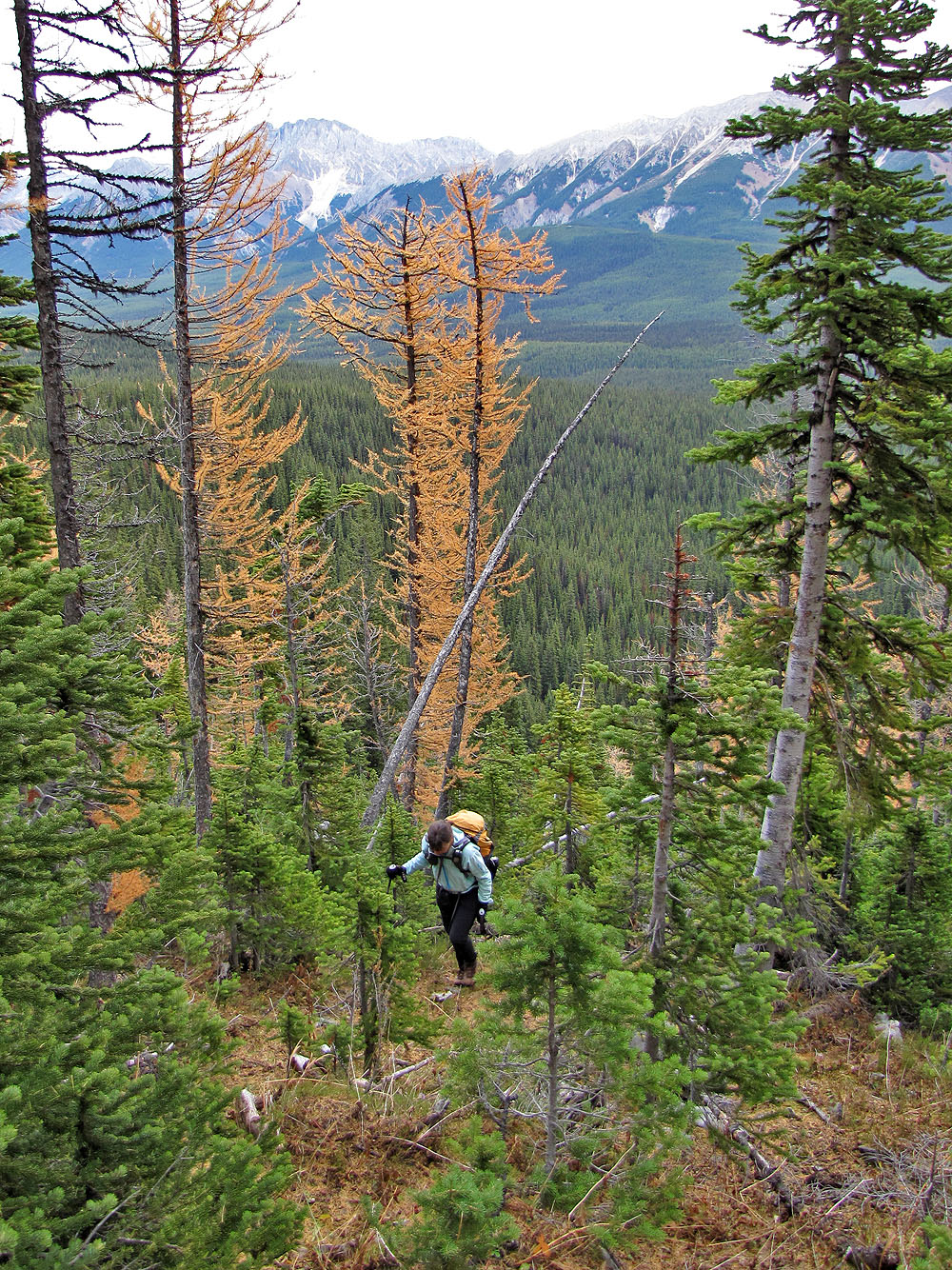
Plenty of bushes in the trees
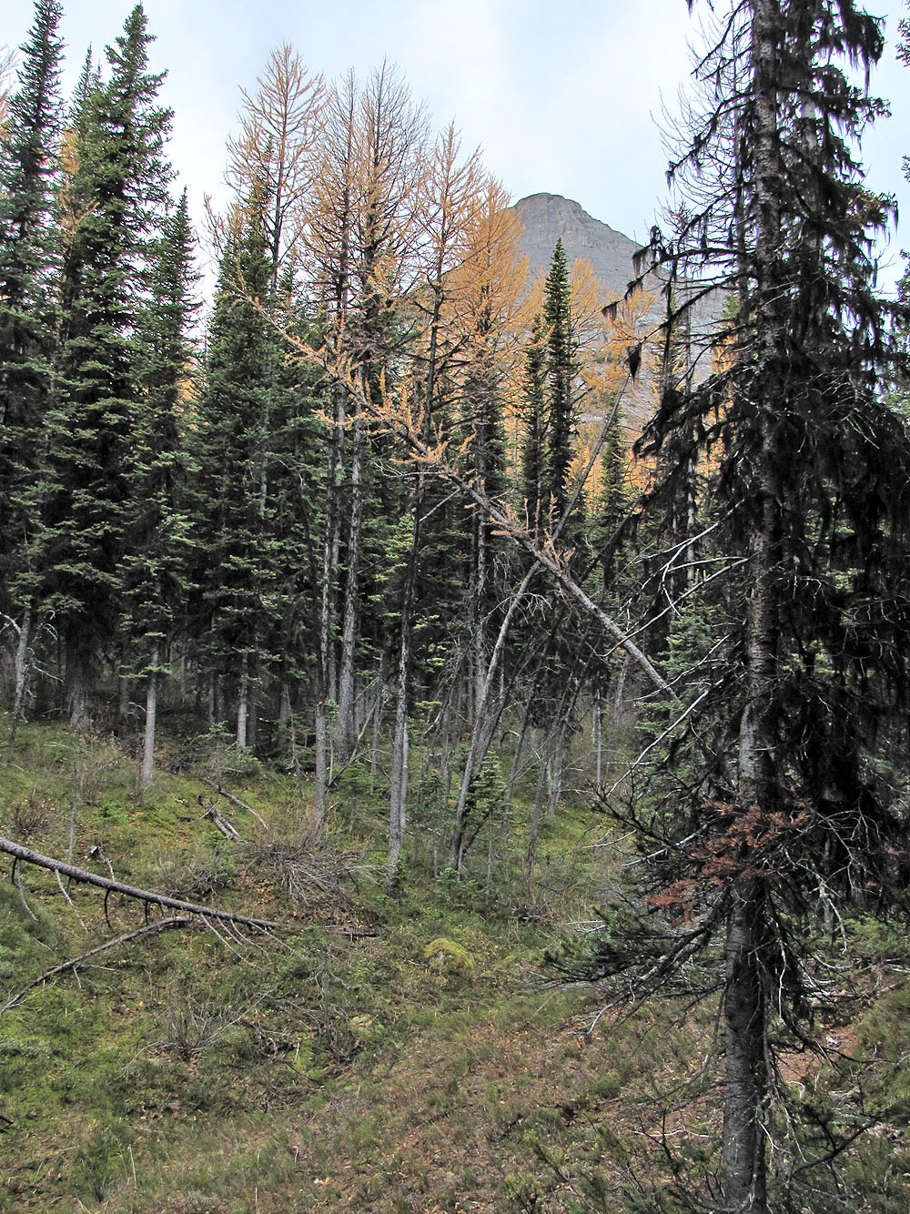
We caught a glimpse of Turret through the trees
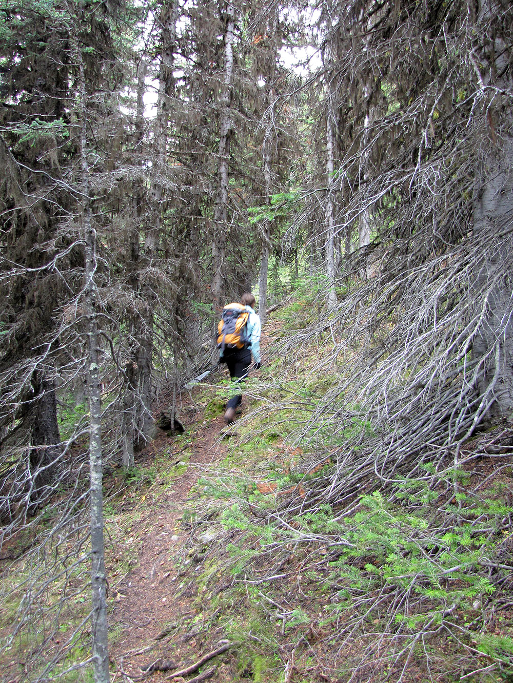
On the trail
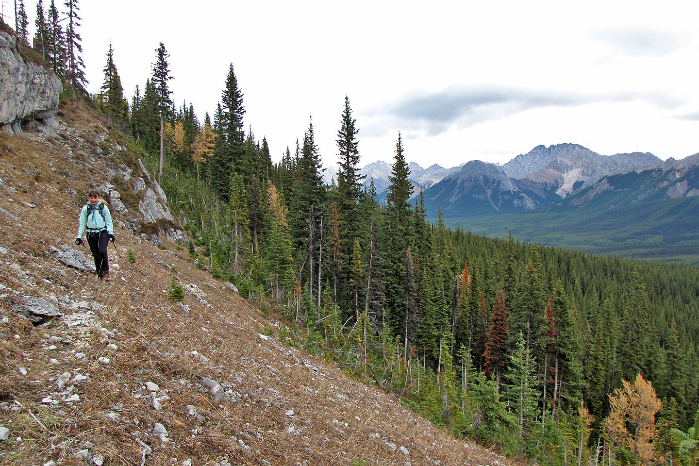
We reached our first open slope
The trail re-enters the trees but became difficult to follow
The cliff band ends at the wall of trees ahead where we turned right. Mount Fox on the left.
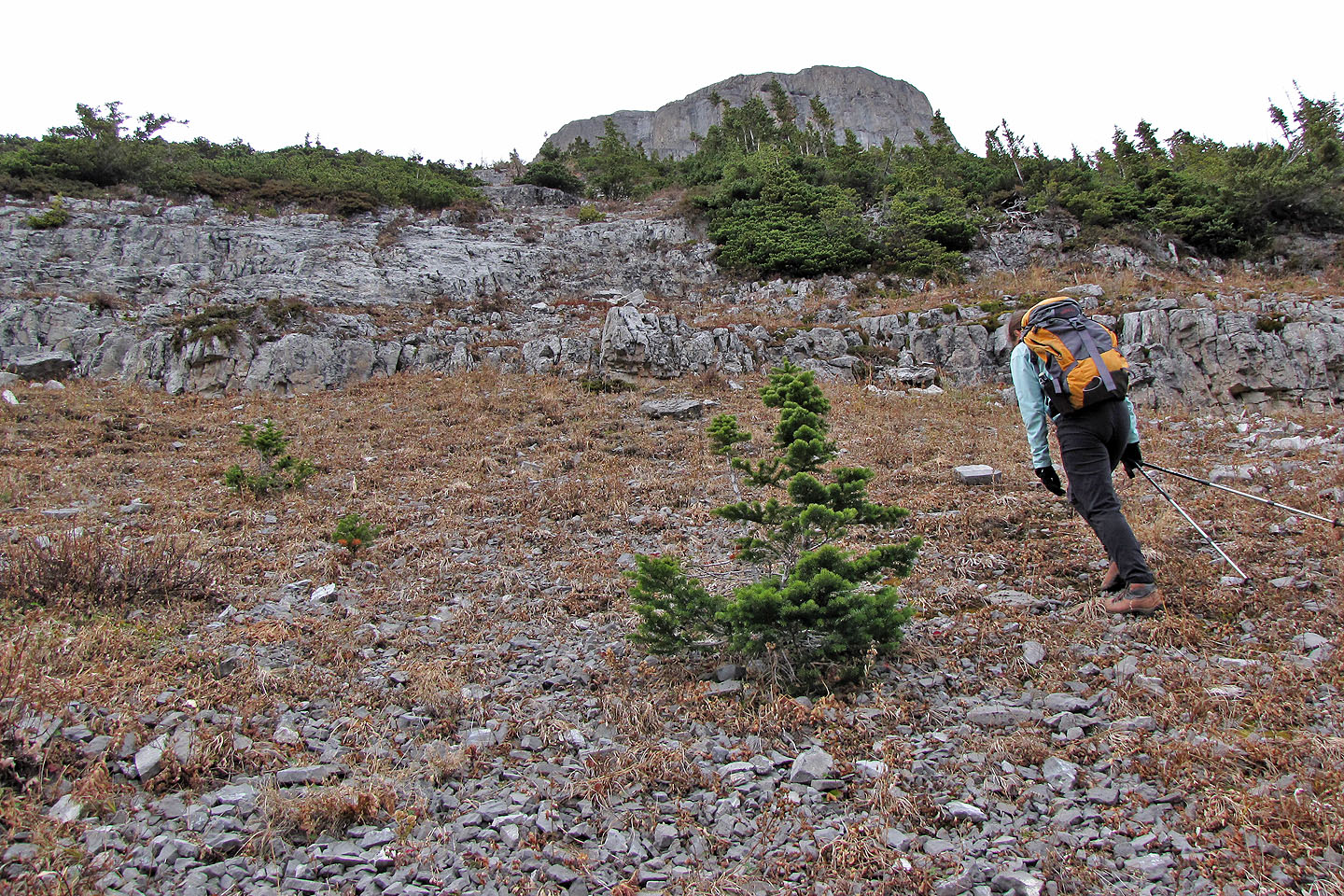
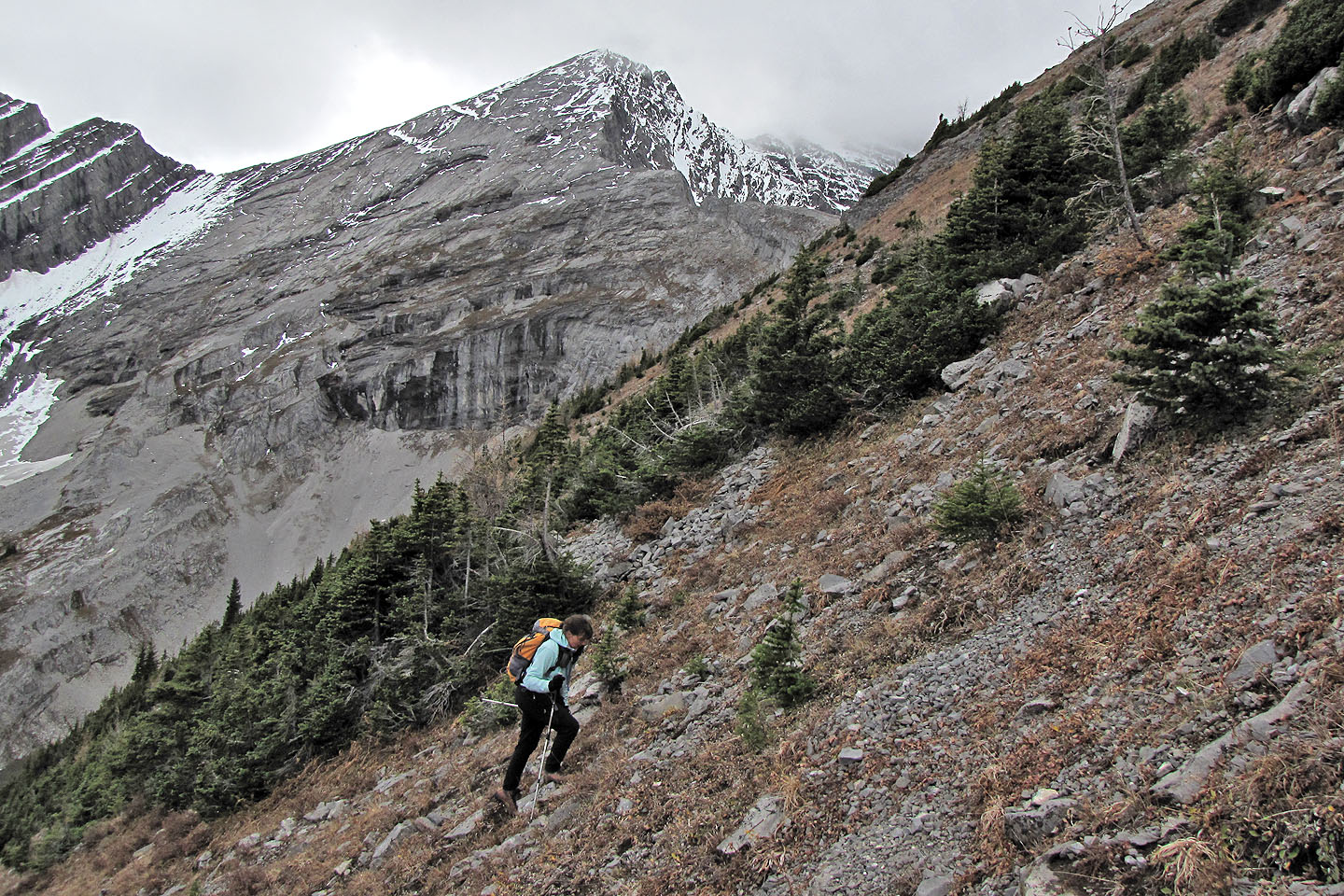
We headed to the summit block from what turned out to be the bottom of a drainage
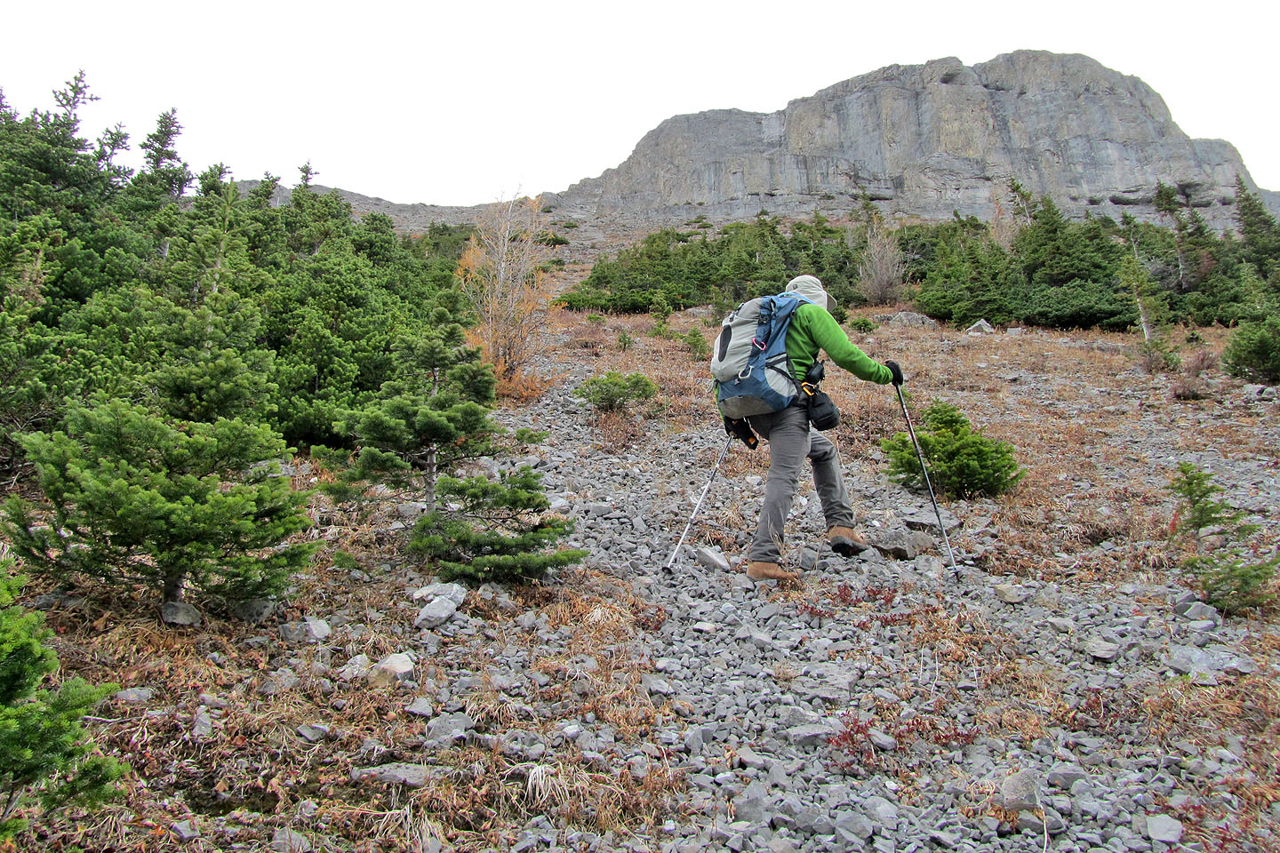
Still following the drainage
Scrambling up a rock band
The steep grading is unvarying
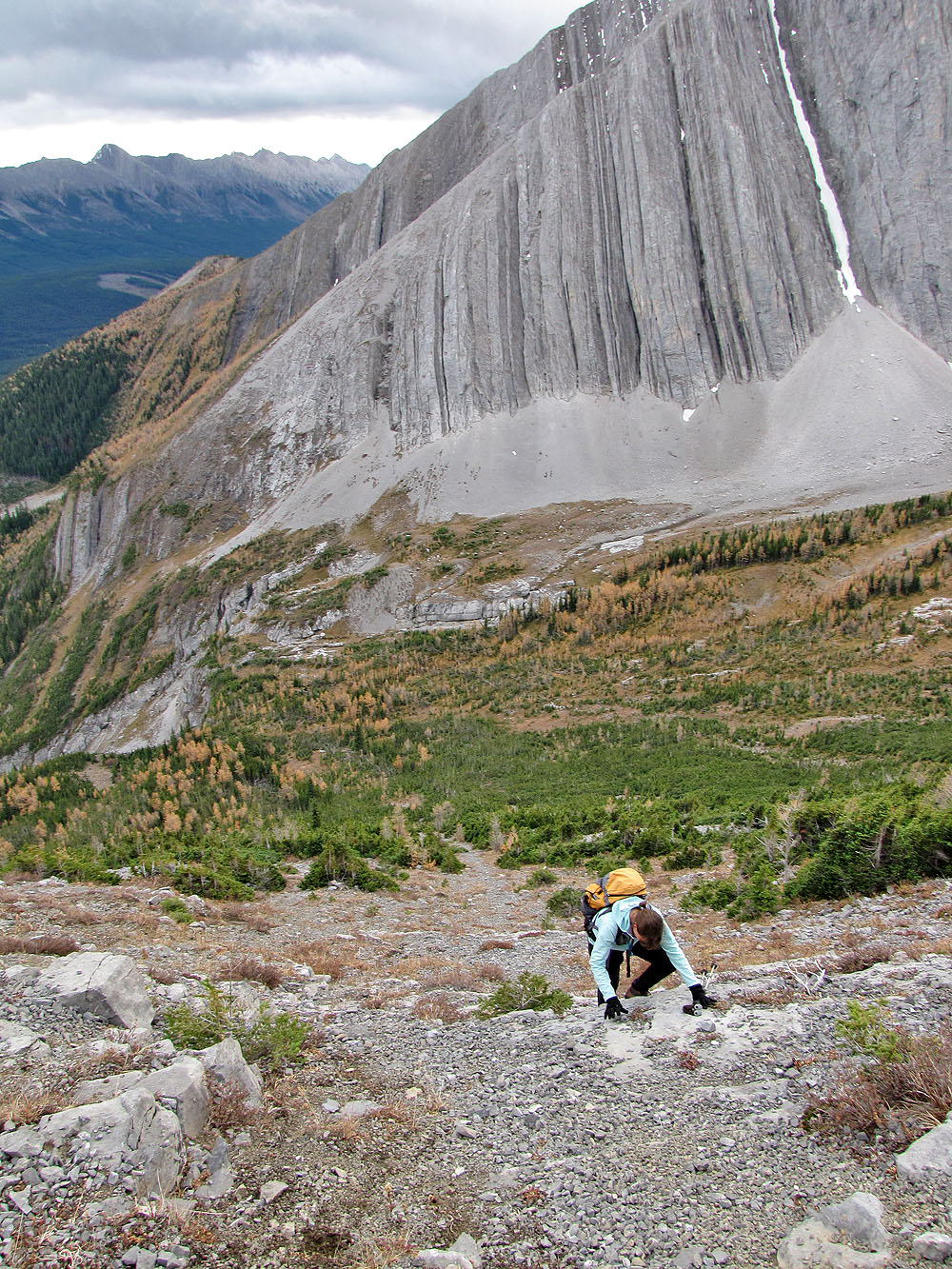
We're still following the drainage! It now stretches far below us.
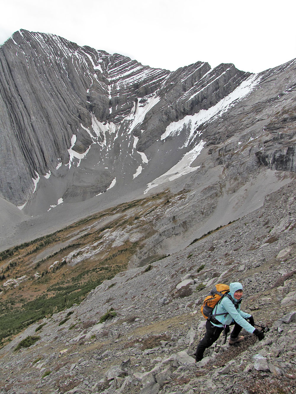
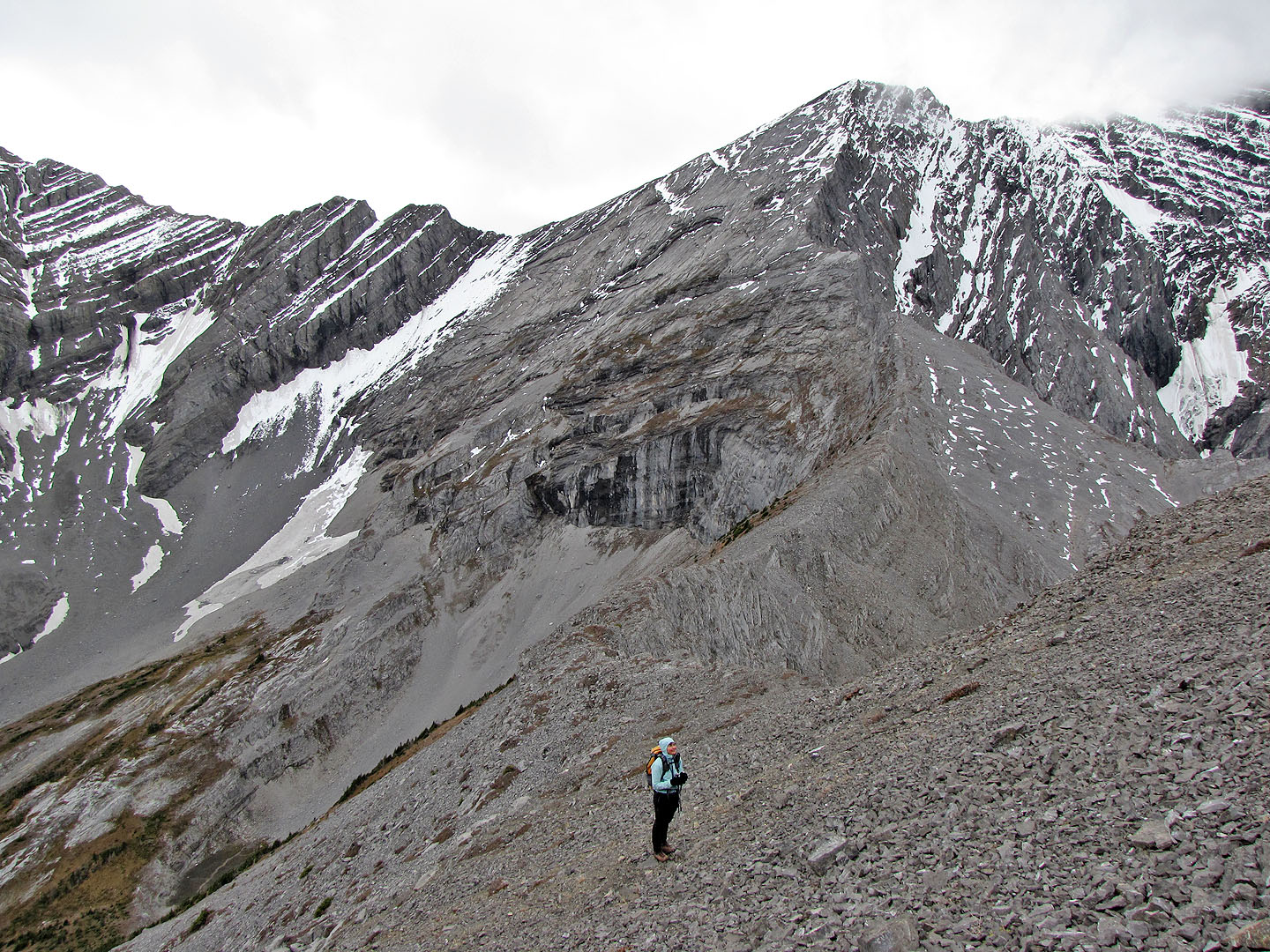
We angled left, toward the ridge
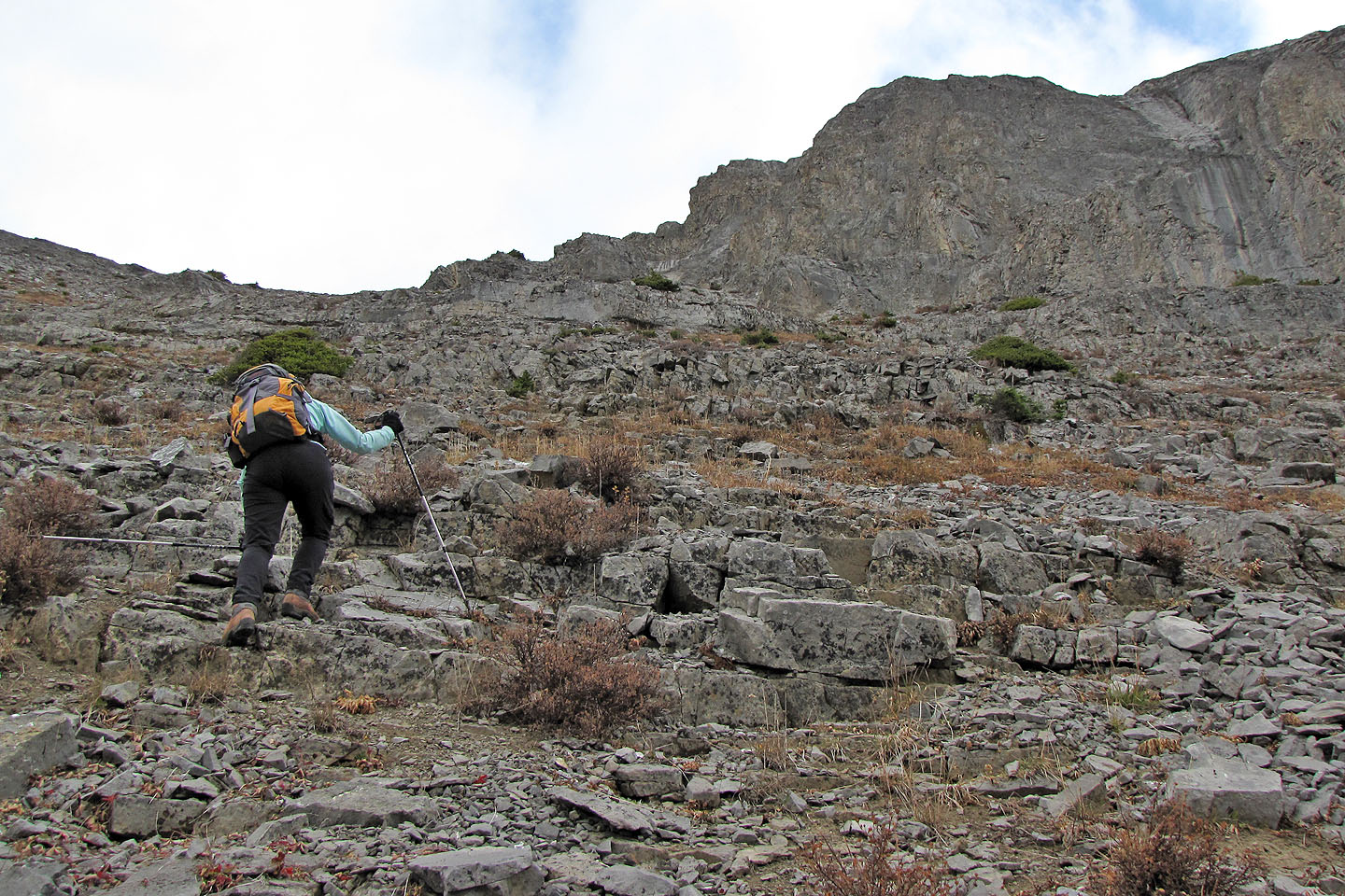
Although steep, it's an easy scramble
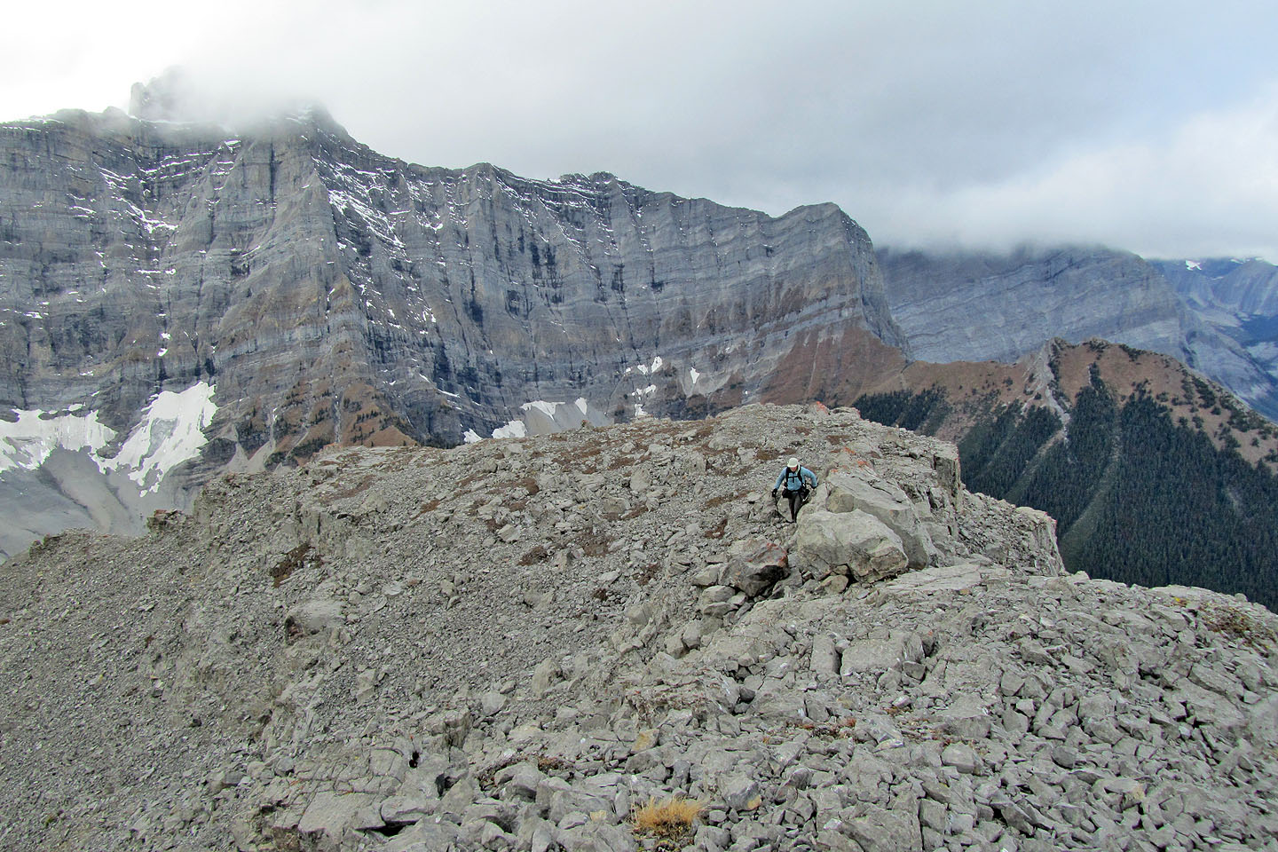
Almost on the ridge
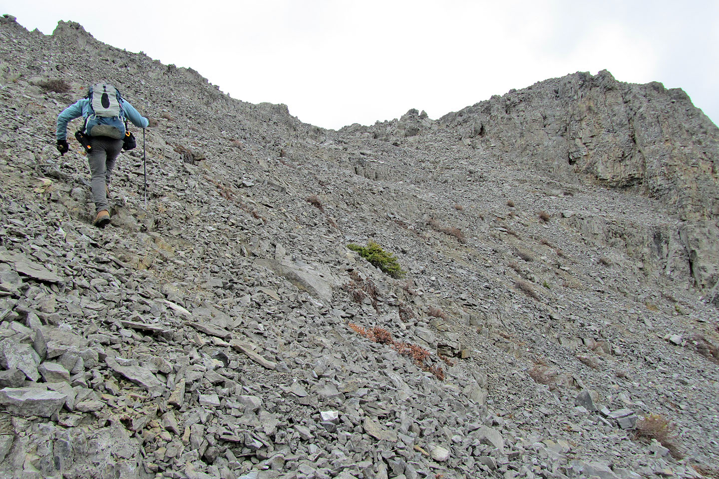
The summit is close at hand
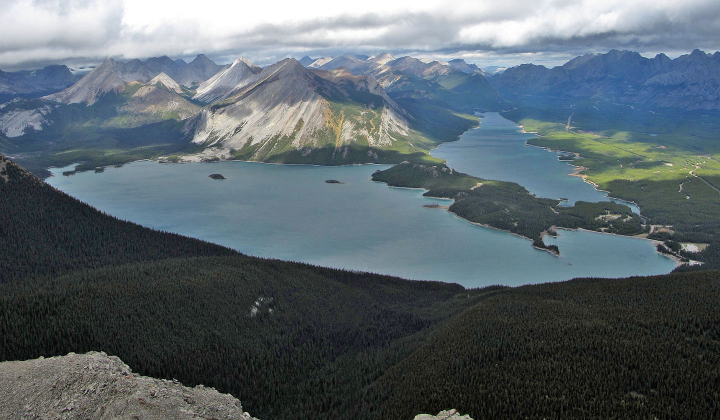
Lower and Upper Kananaskis Lakes
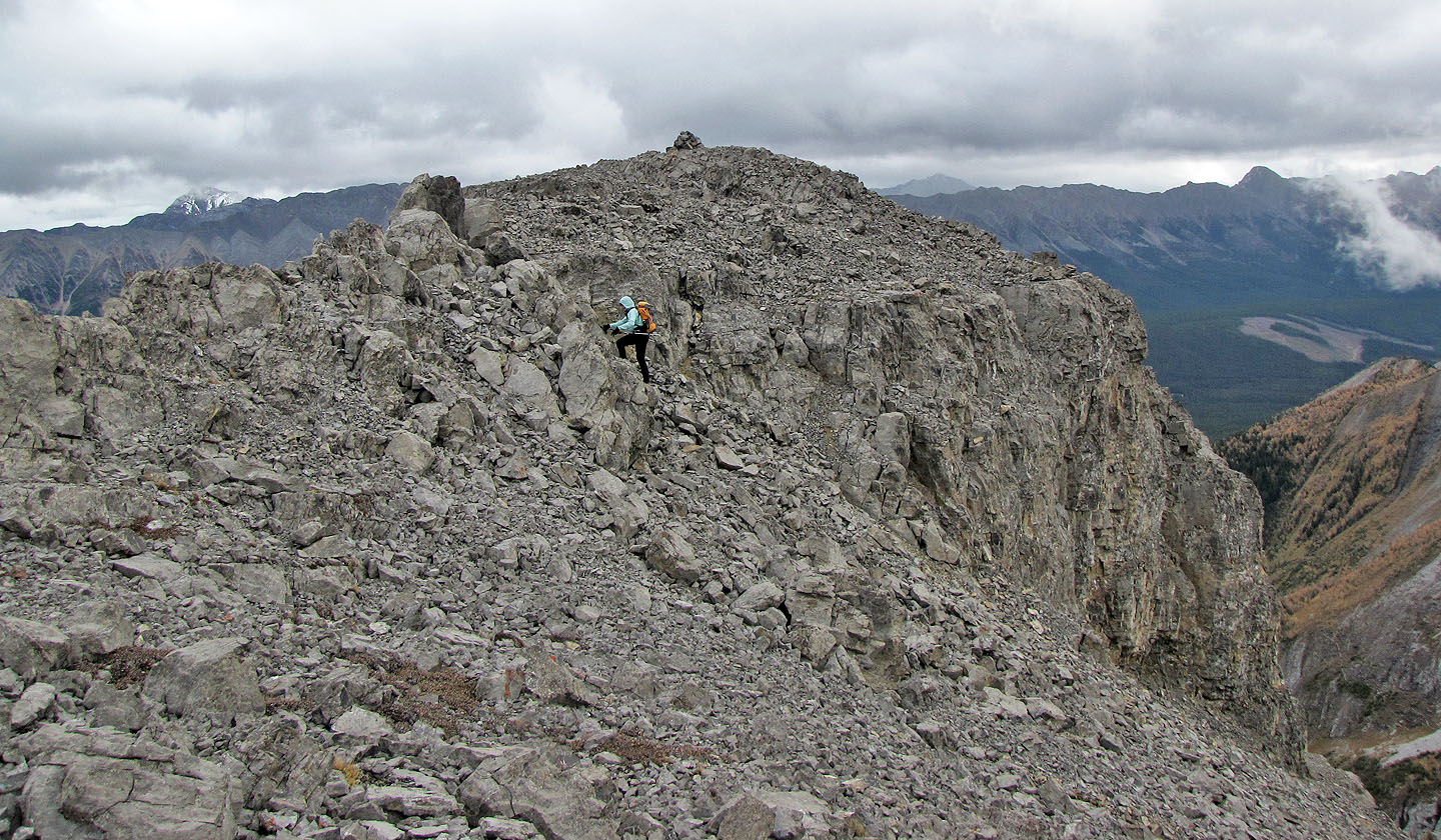
Dinah makes her way to the summit
Mount Sarrail is hidden in cloud
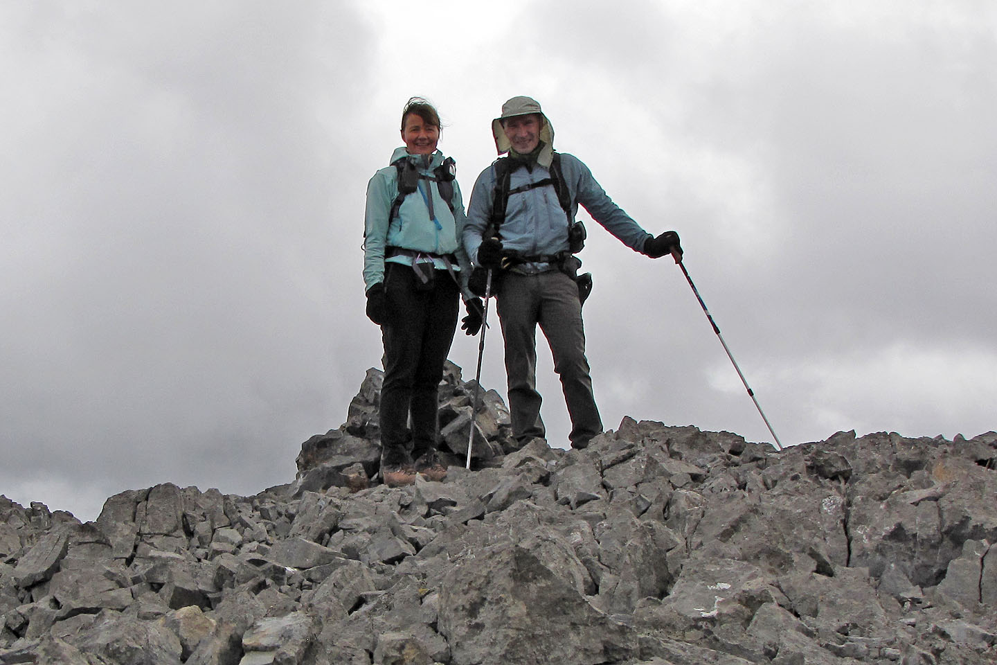
The summit
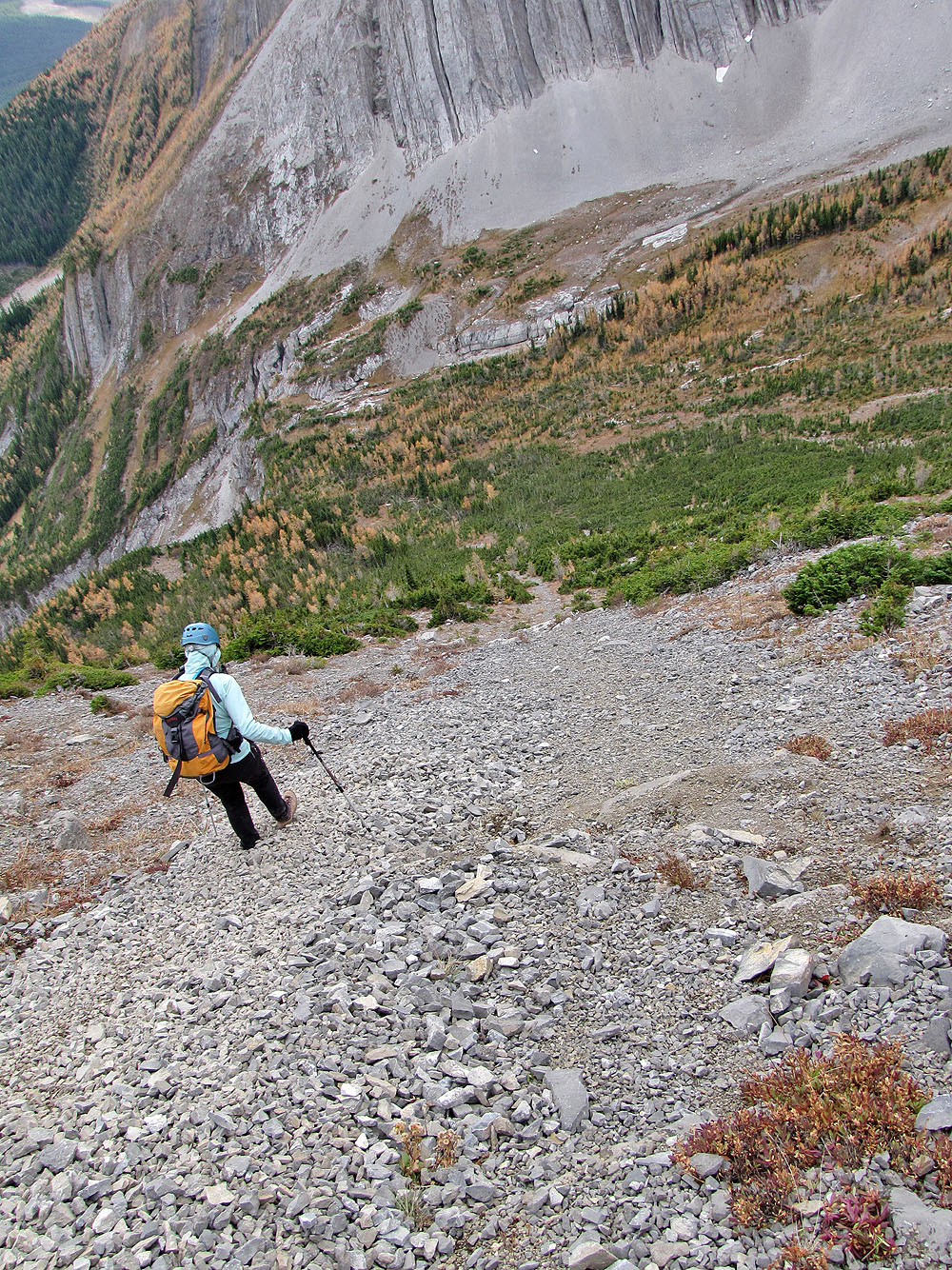
The scree in the drainage worked well on our descent
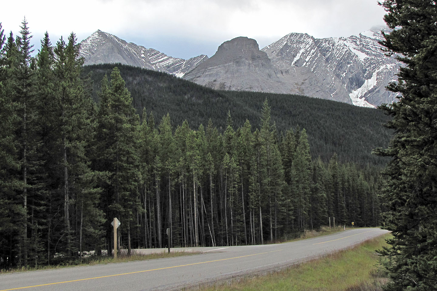
The Turret (centre) seen from the road
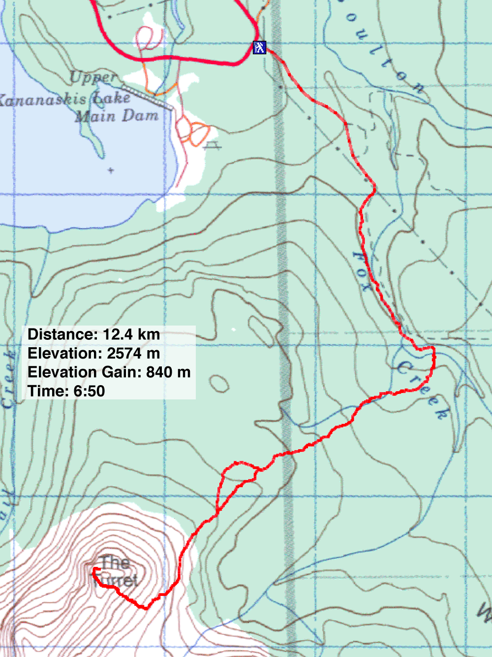
82 J/11 Kananaskis Lakes