bobspirko.ca | Home | Canada Trips | US Trips | Hiking | Snowshoeing | MAP | About
Mount Howard
Kananaskis, Alberta
August 23, 2008
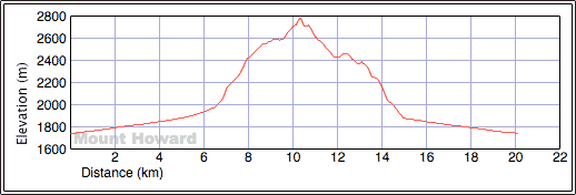
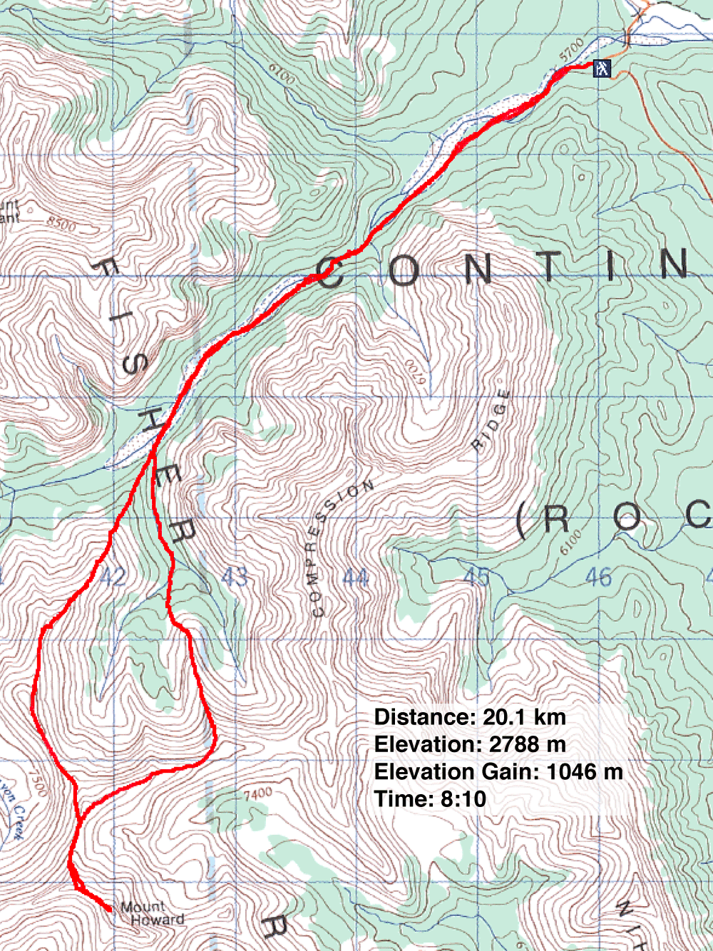
Distance: 20.1 km (12.5 mi)
Cumulative Elevation Gain: 1096 m (3596 ft)
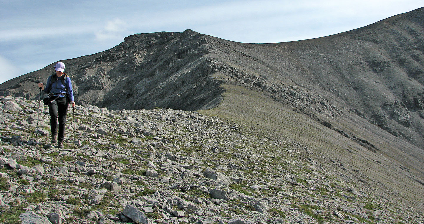
Aside from the approach, Dinah and I enjoyed Mount Howard. The ridgewalk, where you spent most of you time, was engaging, while the easy scramble to the summit offered a nice change in pace.
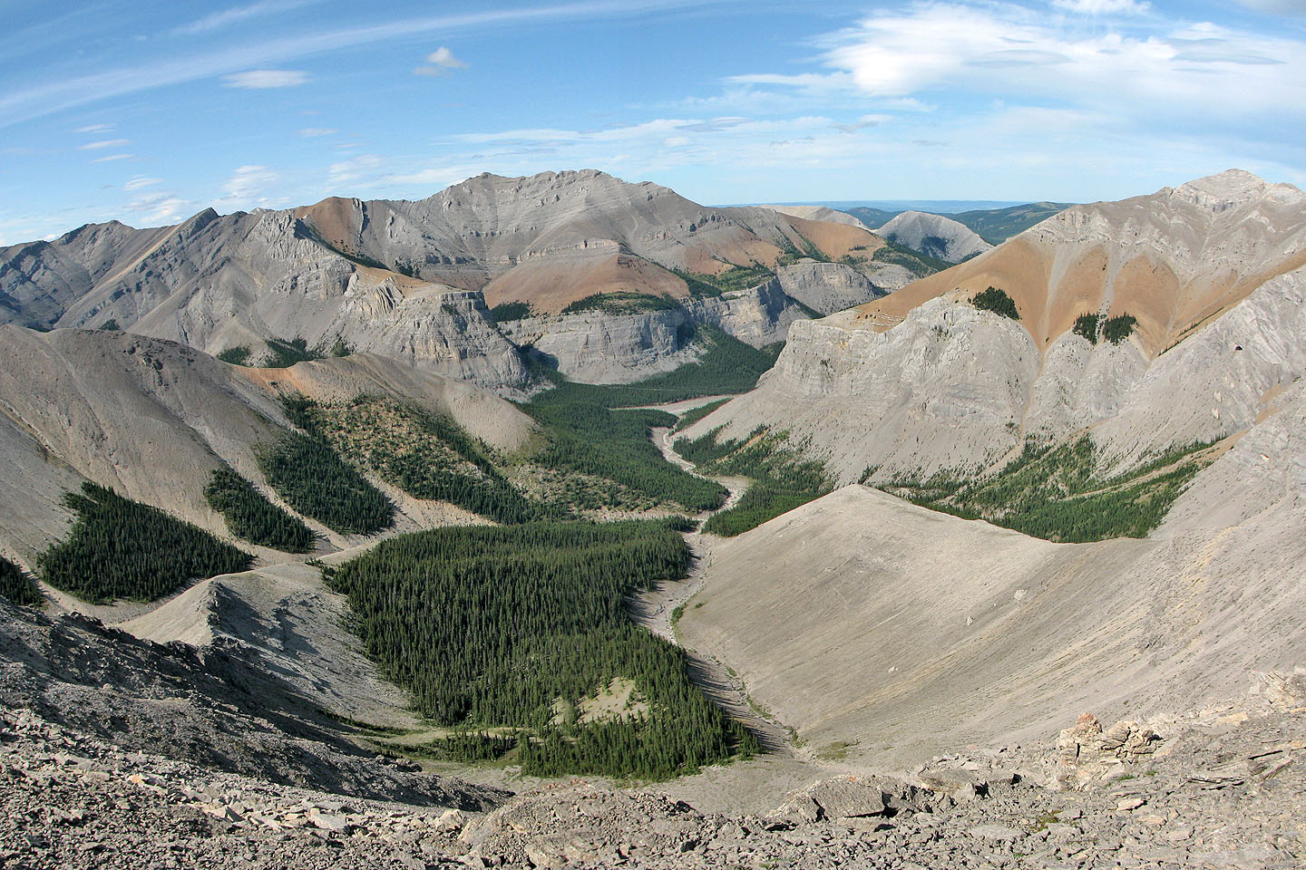
After two failed attempts (thunderstorm on June 2006 and high winds on November 2007), Mount Howard was one peak I wanted to bag. Following the route description in More Scrambles, the trip was straightforward. The mind-numbing walk up Canyon Creek followed by a long ridgewalk makes this trip feel longer than it is, but Dinah and I reached the summit in 4.5 hours. We didn't take in all the high points along the ridge, and we avoided the second last high point (417358) before the summit by traversing on an animal track below it.
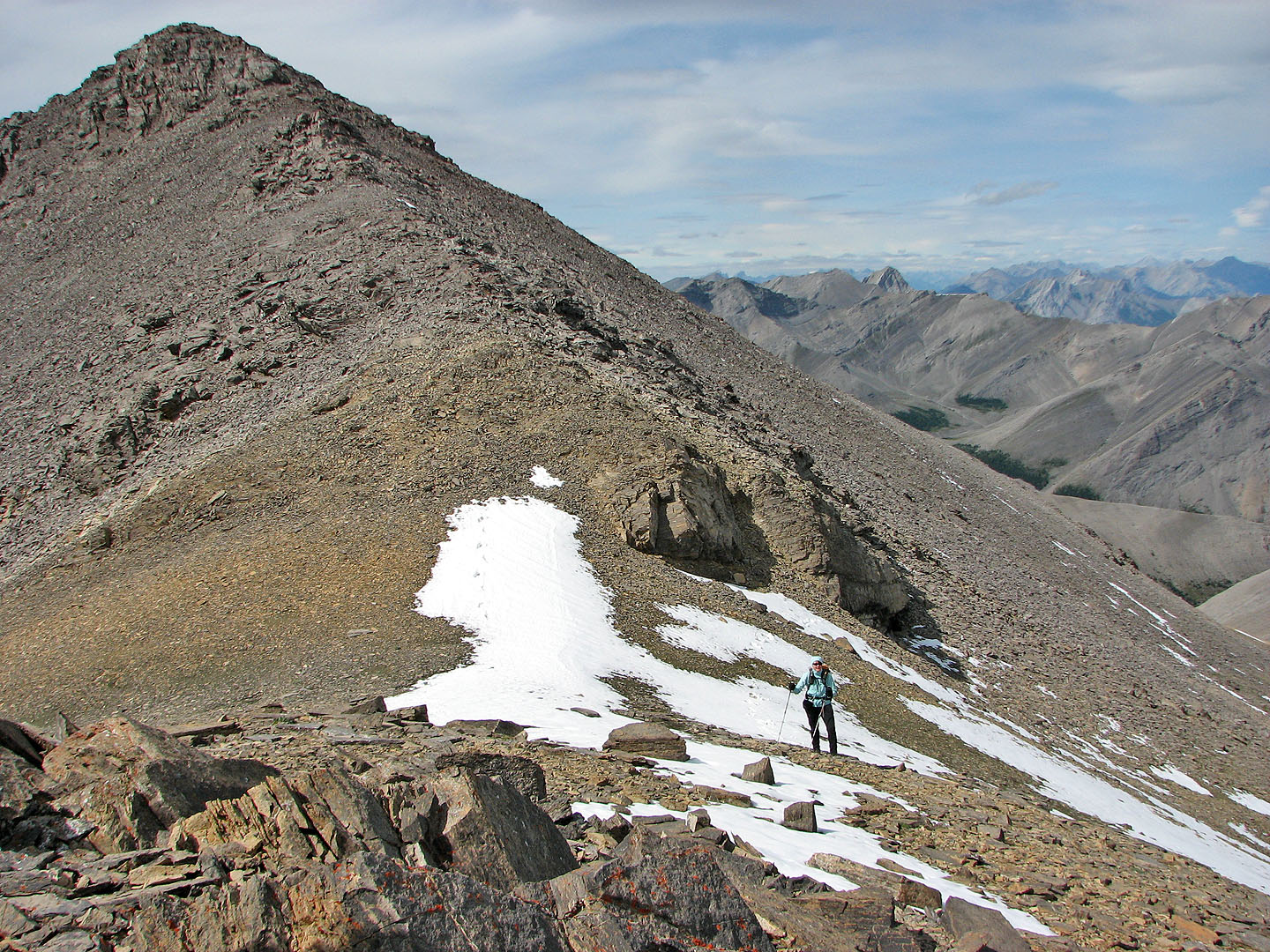
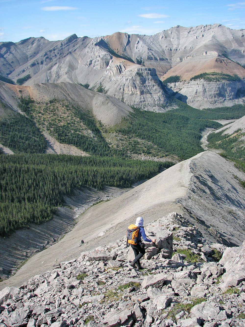
For the descent, we followed the suggested route down the spur. This ridgewalk offers spectacular views of Mount Bryant and its south cliffs. The spur peters out onto a wooded slope, and because of the canyon on the left, we were forced to bushwhack down to the drainage before getting back to Canyon Creek.
According to the summit register, only six parties summited in the last two years. Given the easy ascent, long season and enjoyable ridgewalk, there's no reason why Mount Howard shouldn't become popular.
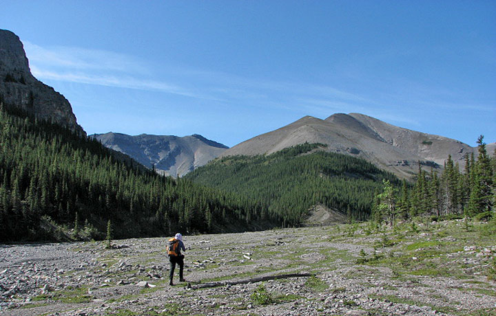
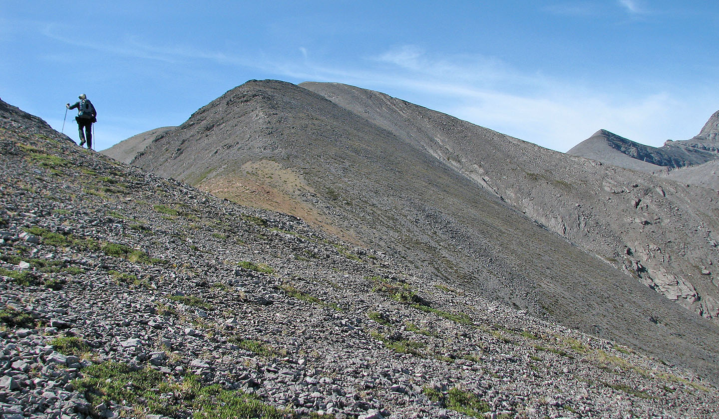
The ascent ridge is ahead
Leaving the creekbed below
Gaining the ridge crest
Striking colours on this saddle
Looking back
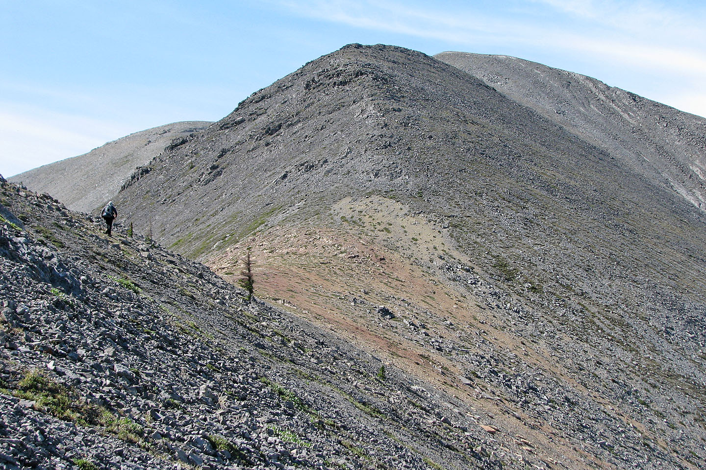
Going over some boulders
Meandering through some boulders on a high point
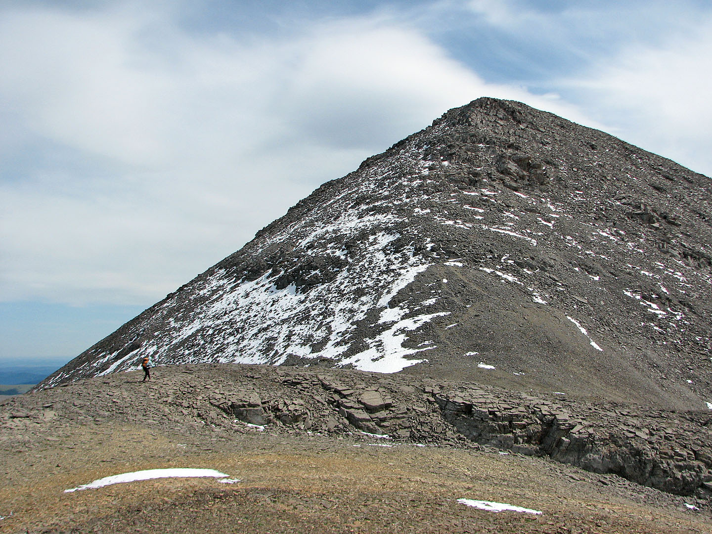
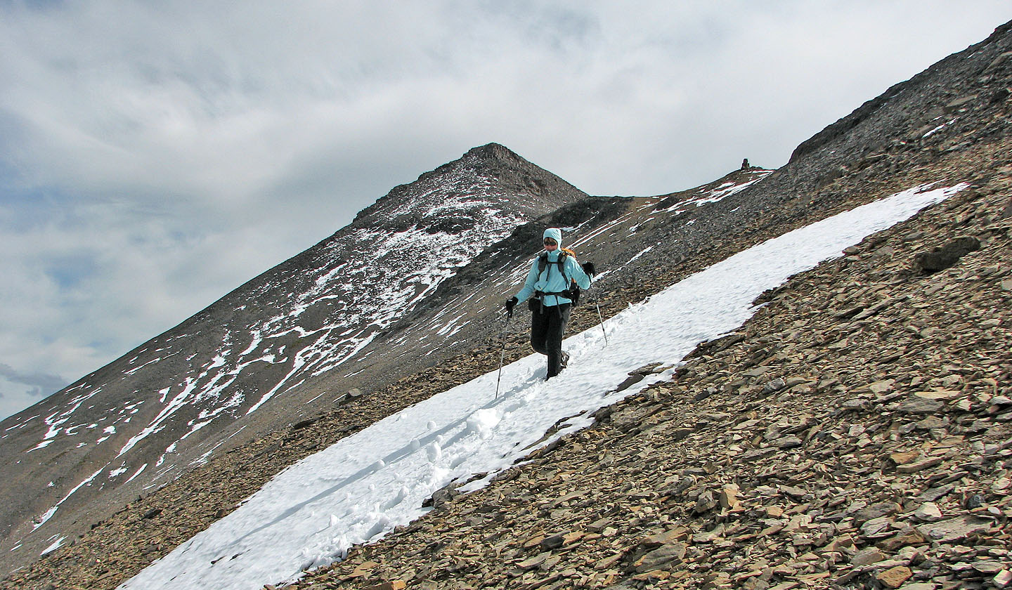
Mount Howard (left) has some snow
Using an animal track to cut below a high point
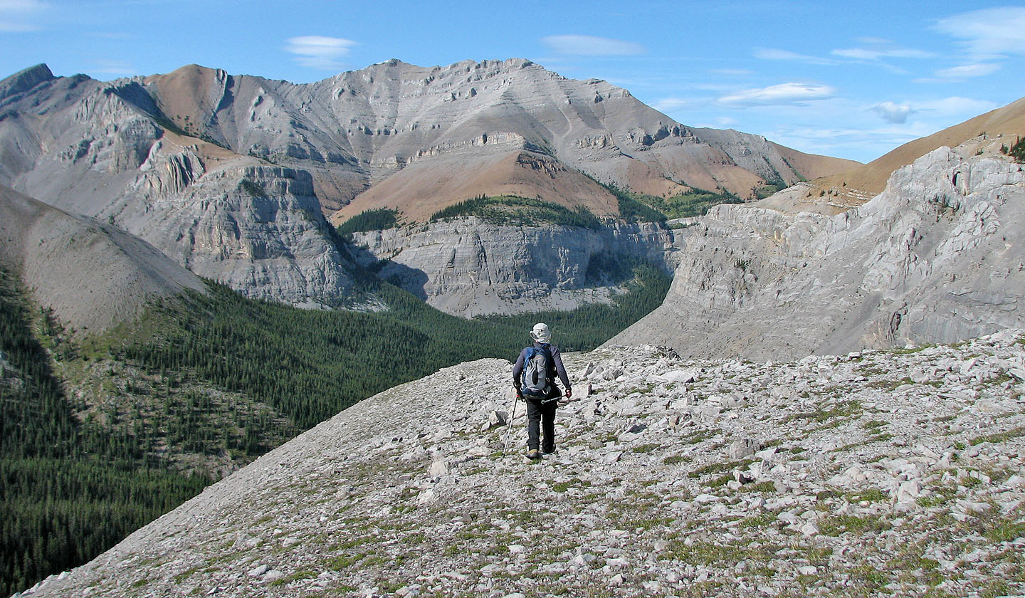
For the descent route, we'll start down the ridge behind us
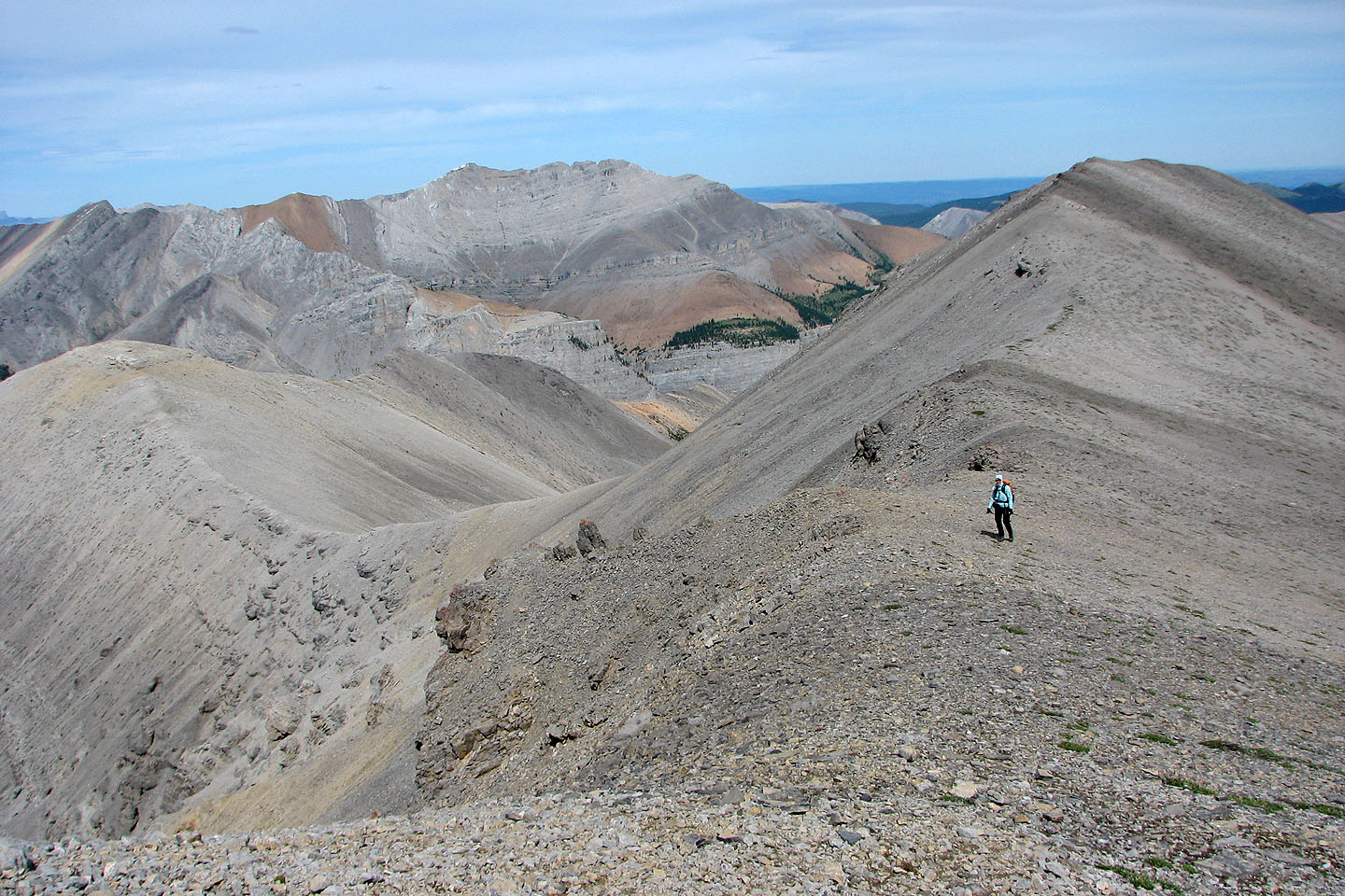
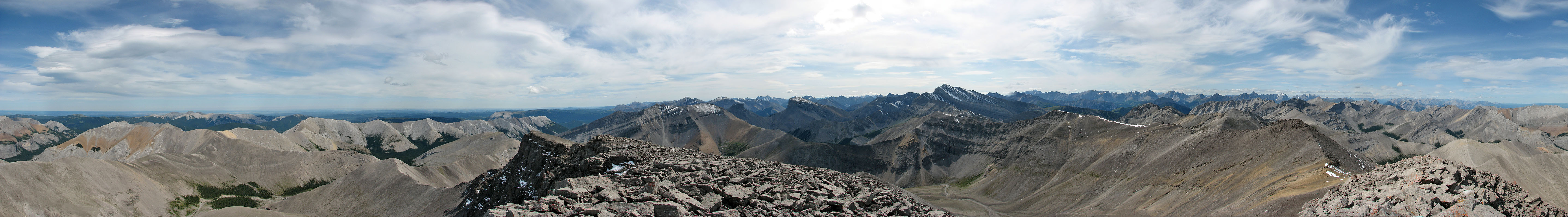
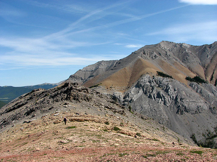
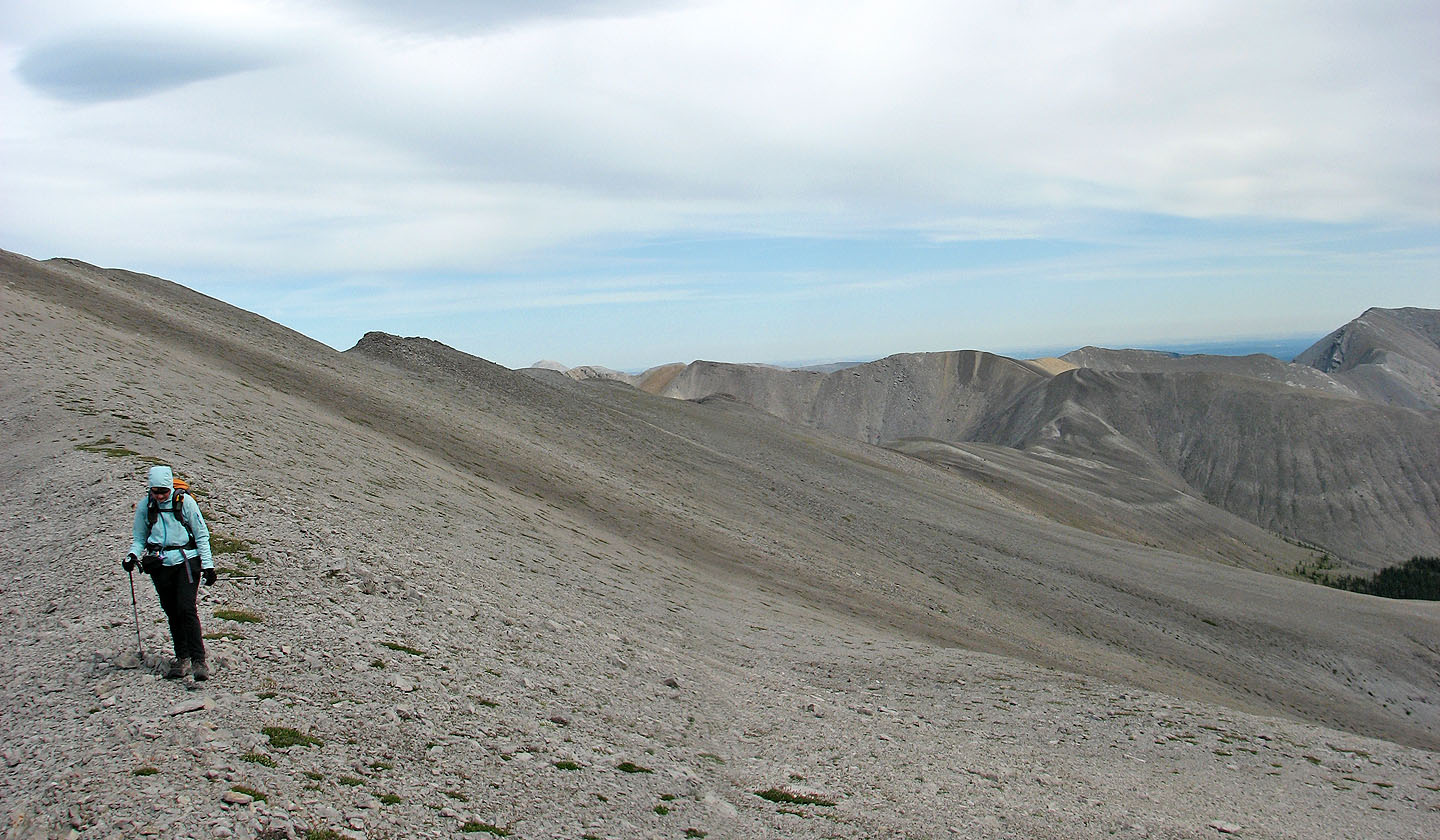
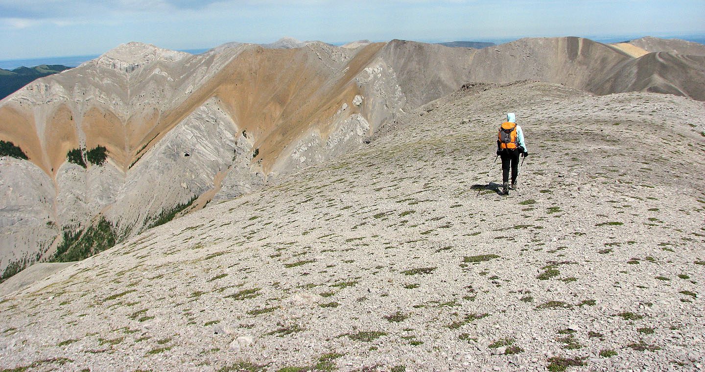
Our ridgewalk can be traced starting from the orange saddle in the centre
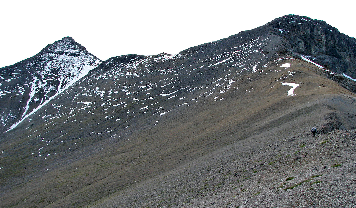
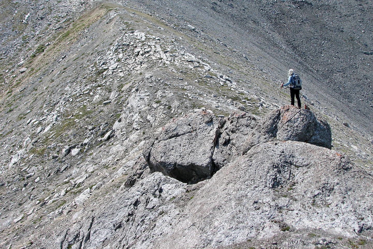
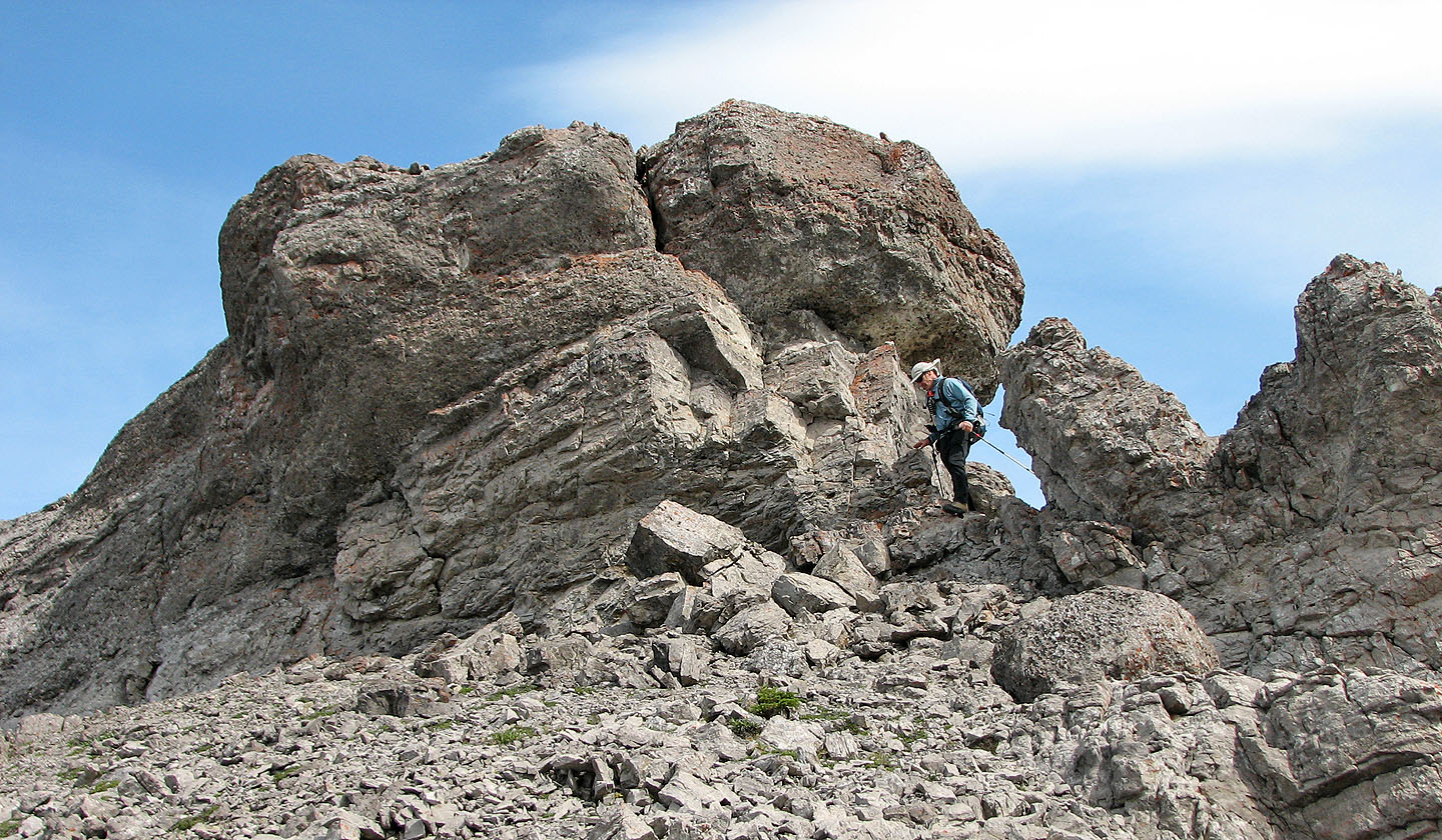
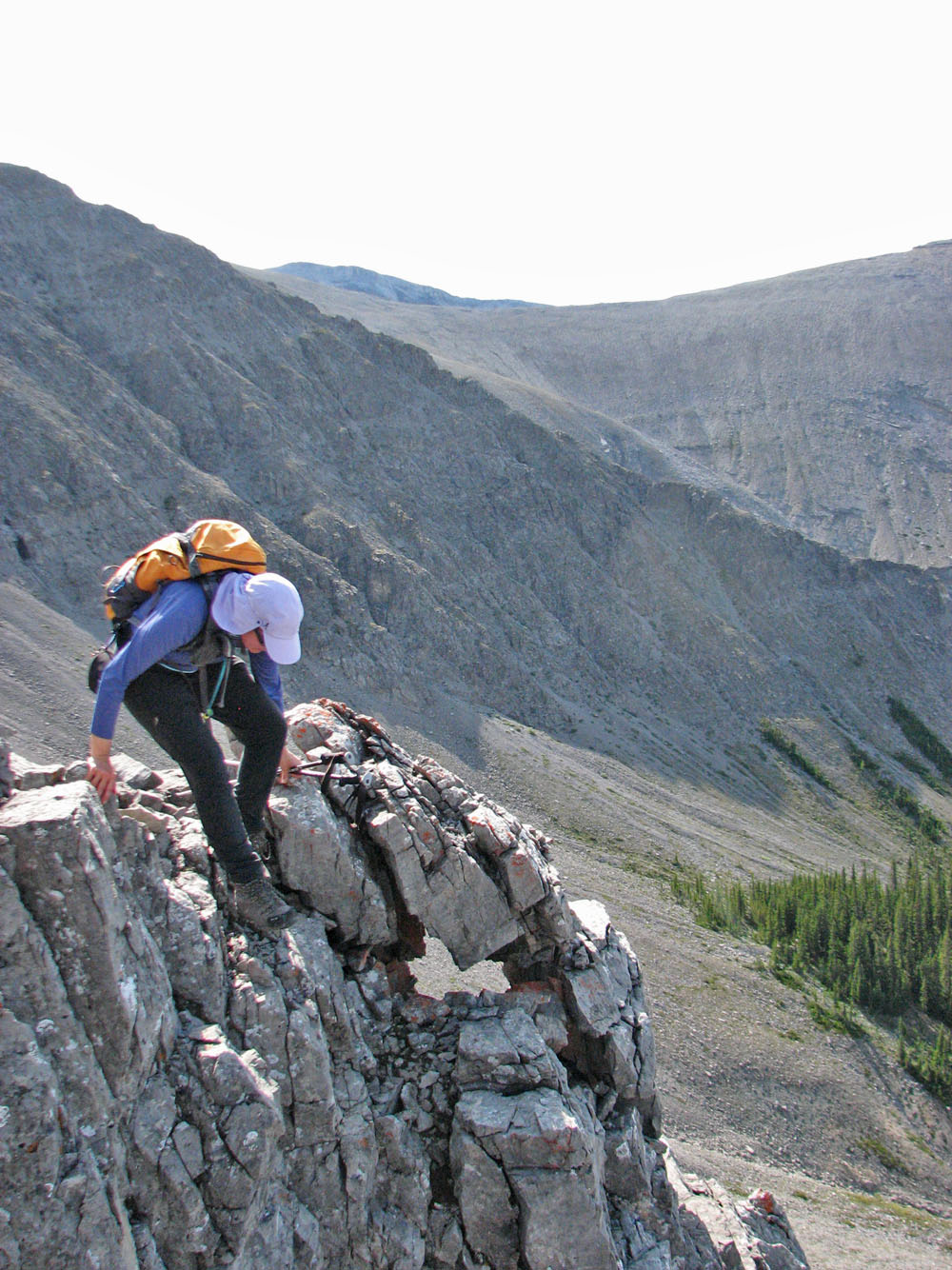
From a distance, we easily spotted a pinnacle on the ridge
We side-sloped to the pinnacle before the summit
Dinah nears the pinnacle
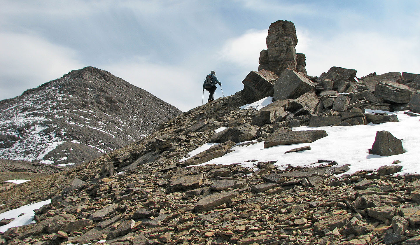
The pinnacle
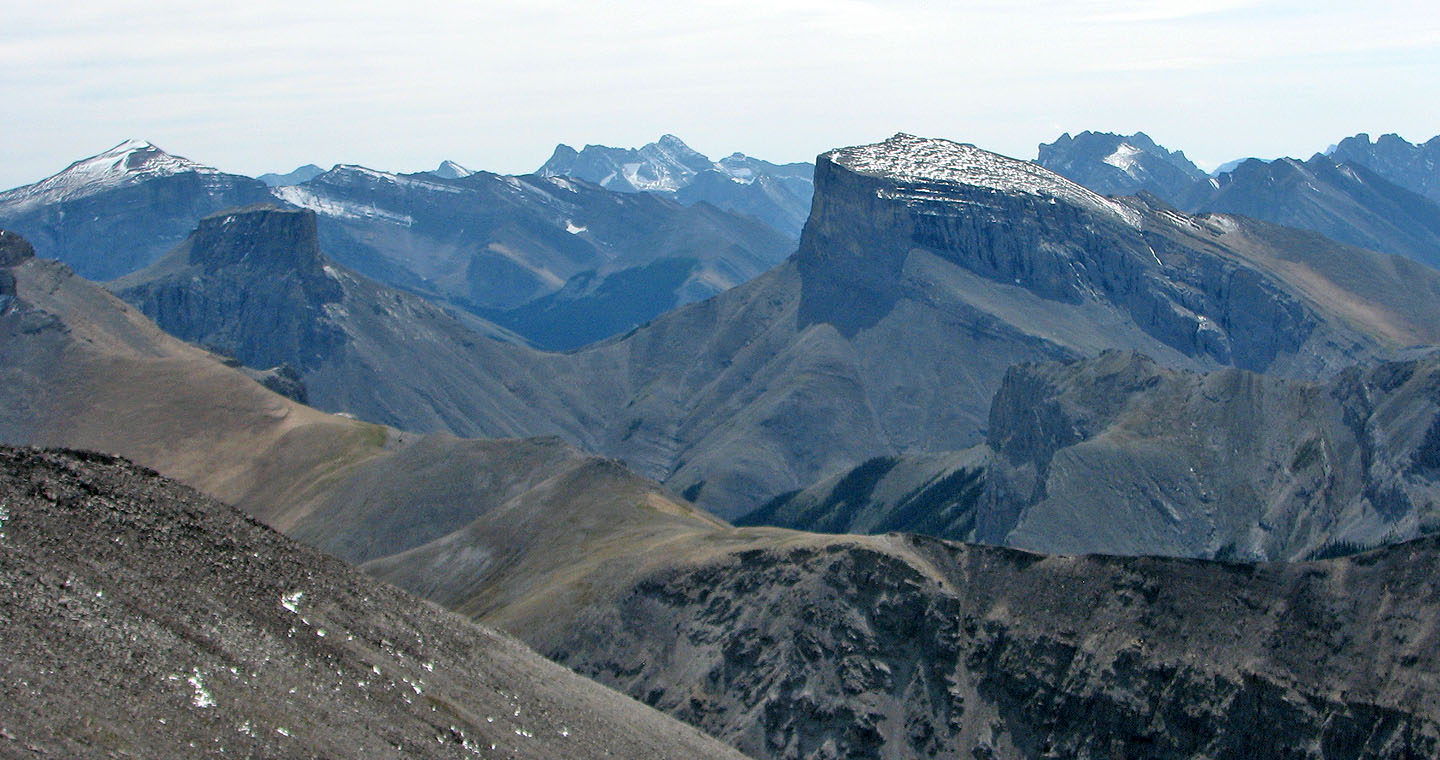
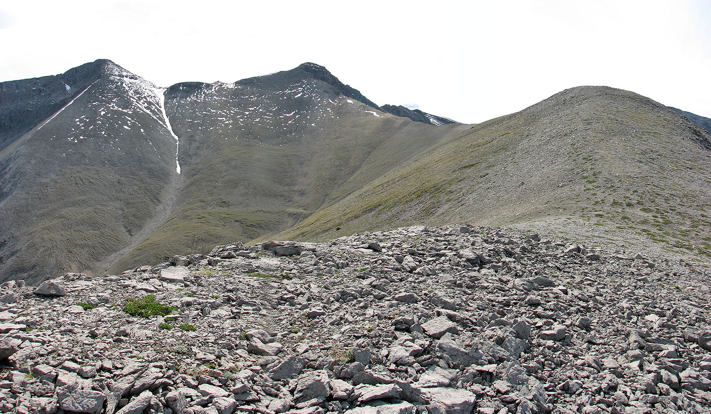
Mount Remus and
Mount Romulus in the foreground
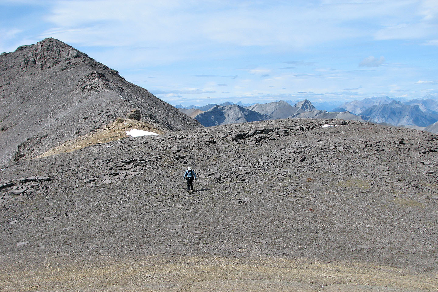
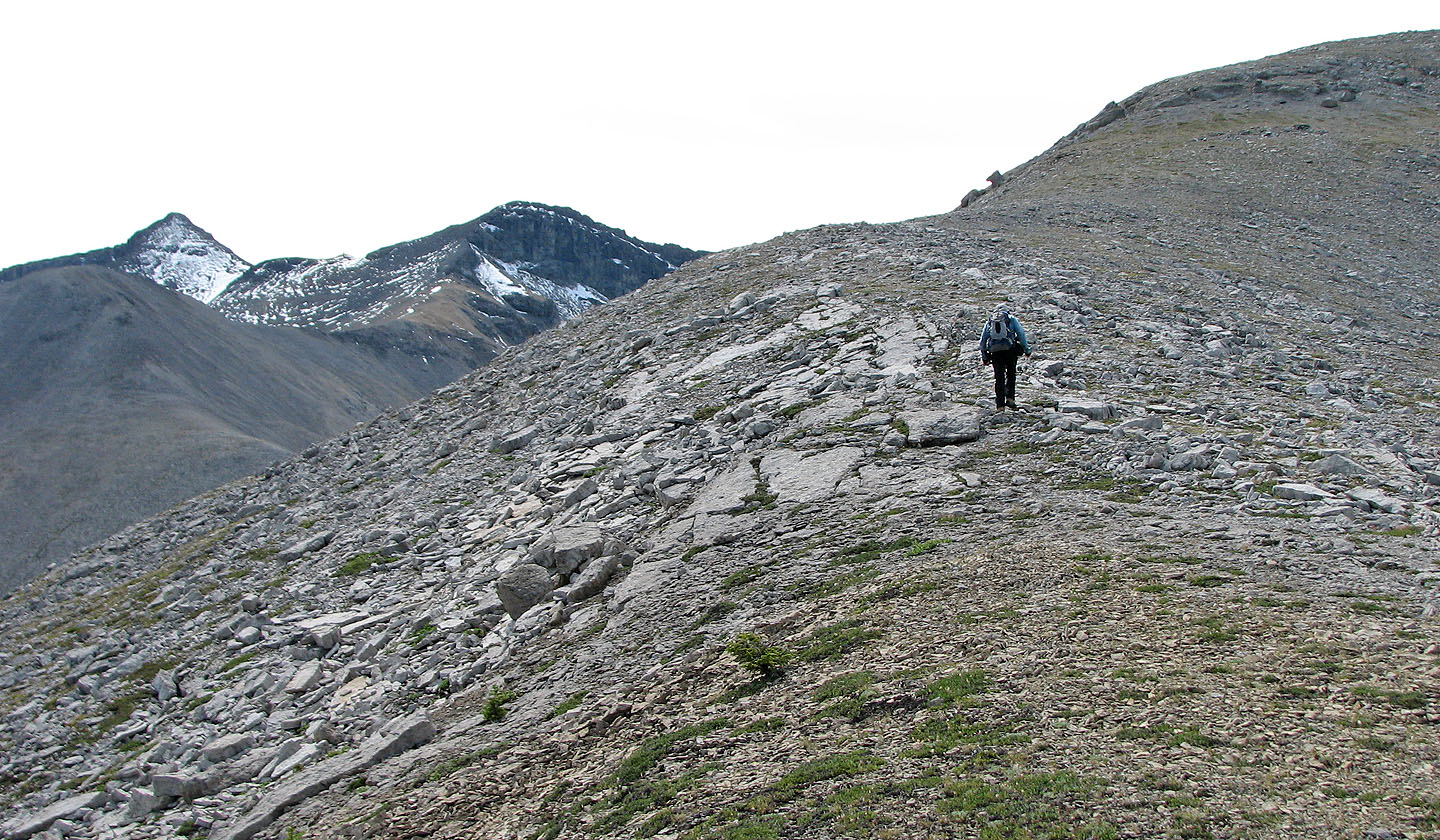
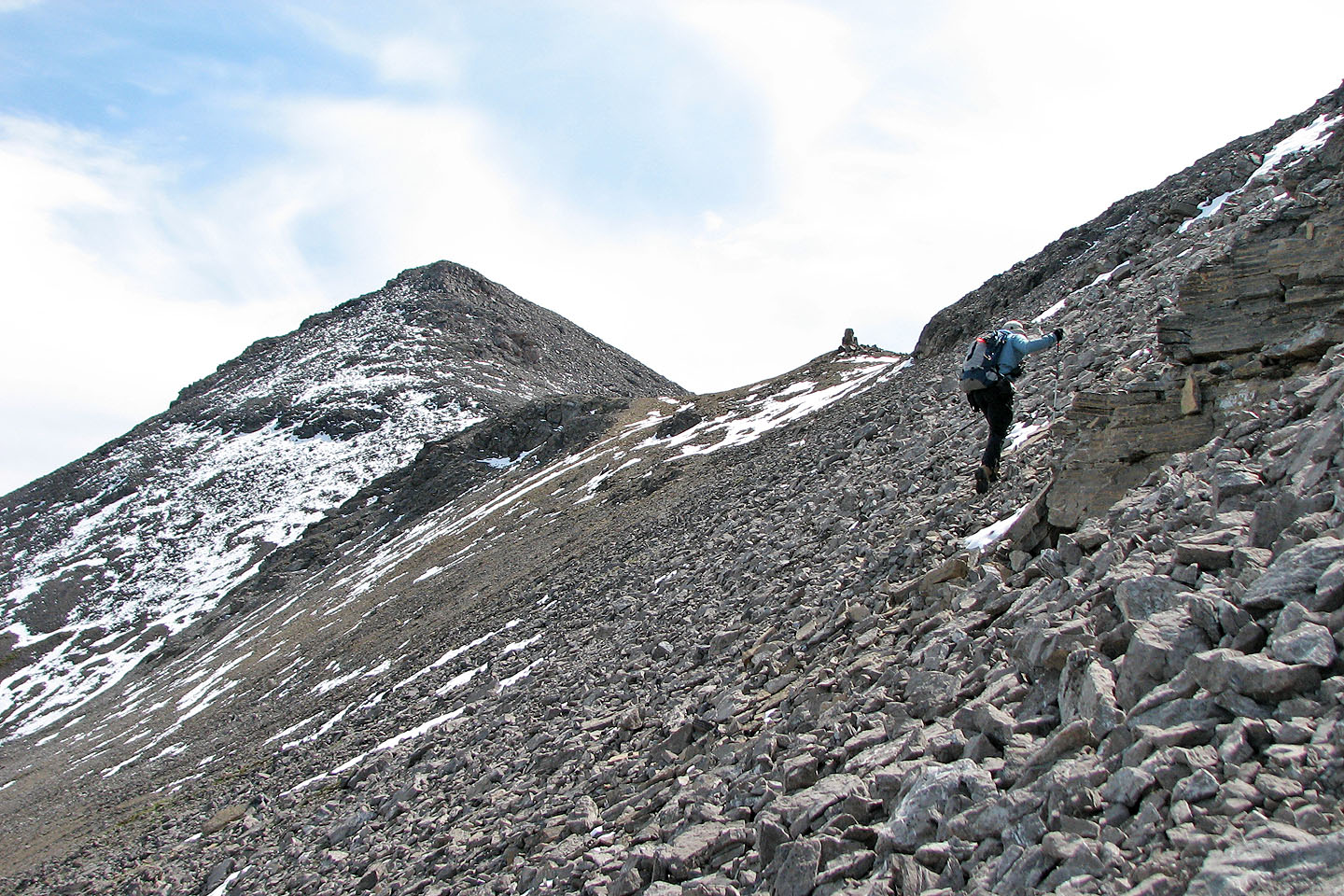
We didn't bother climbing the last high point (left) before the summit
Dinah sets off for the summit
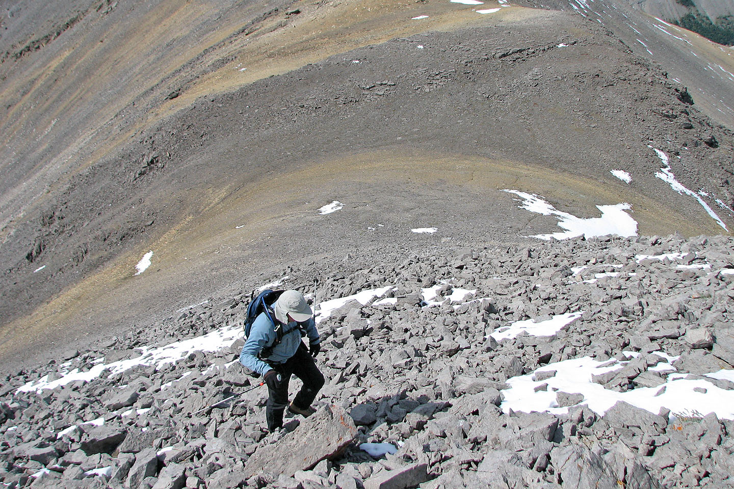
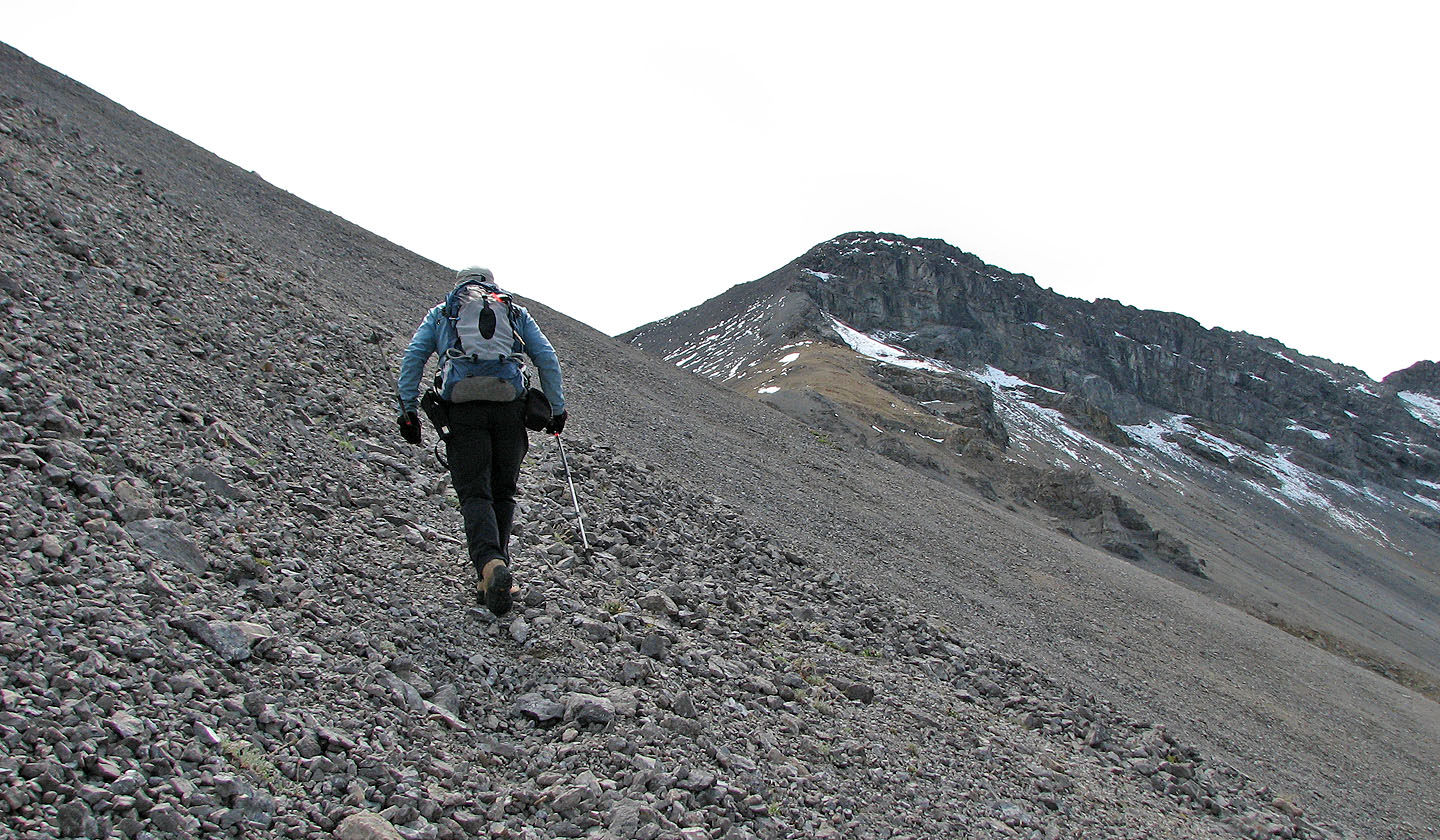
Trudging up the talus on the lower slope
I kept to the left where the scrambling was more interesting
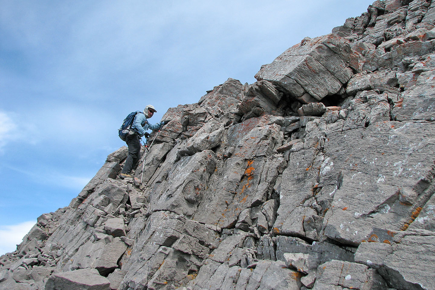
More scrambling than we expected
Dinah follows behind me
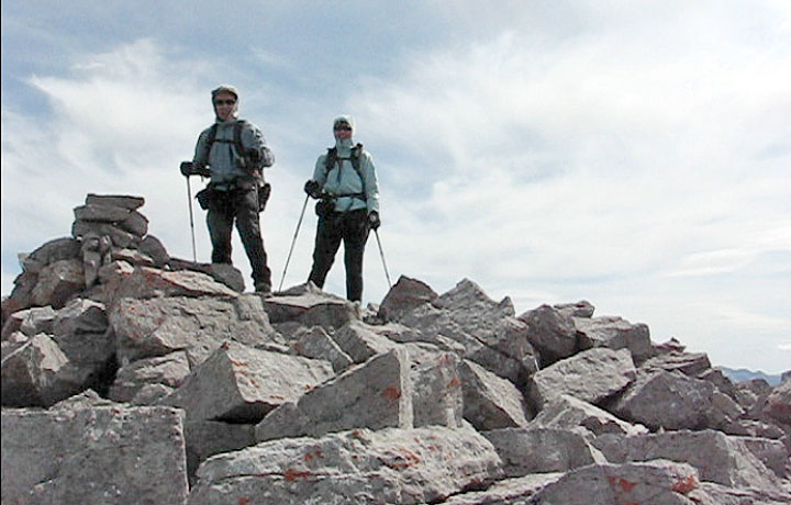
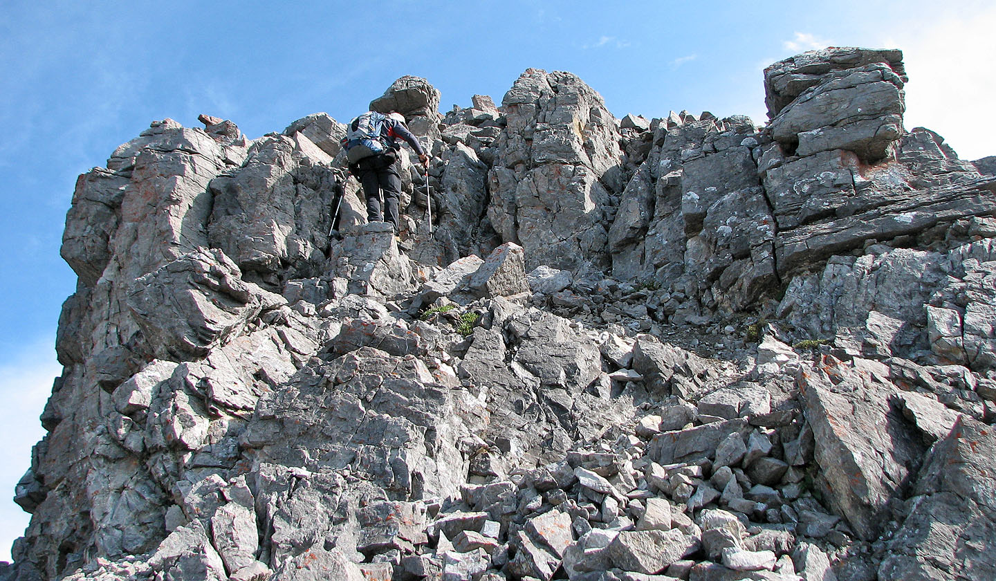
On the summit
Coming down from the summit
Heading to the descent ridge. Compression Ridge in
front of us.
Looking back at Mount Howard (left)
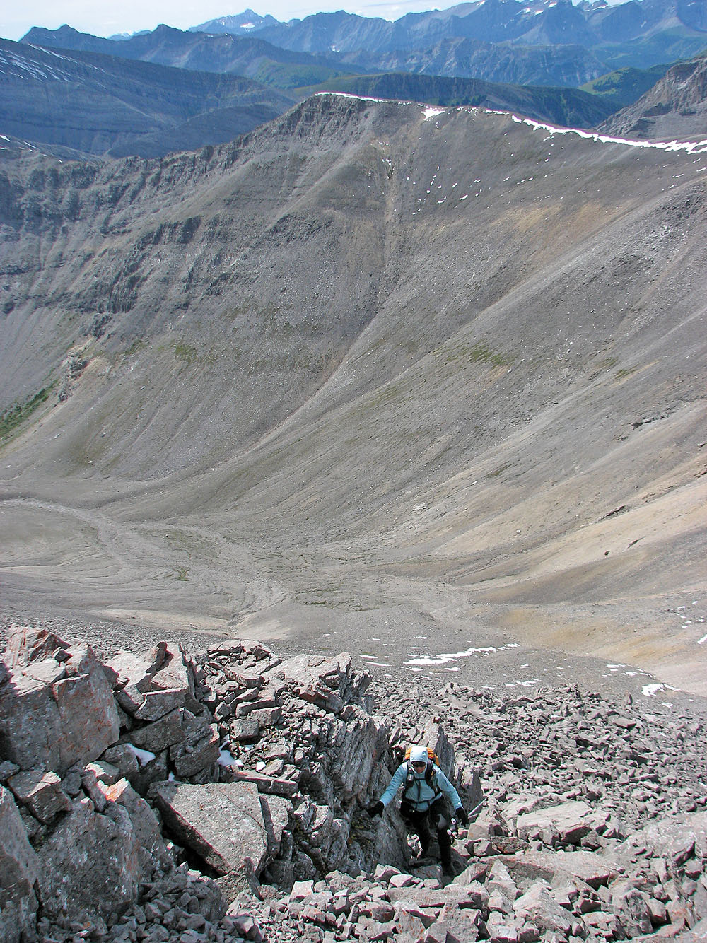
The descent rib (lower right) leads to the drainage in the centre
Starting down the rib
Mount Bryant in the centre
Dinah scrambles down beside a tiny window
Looking back at the descent rib
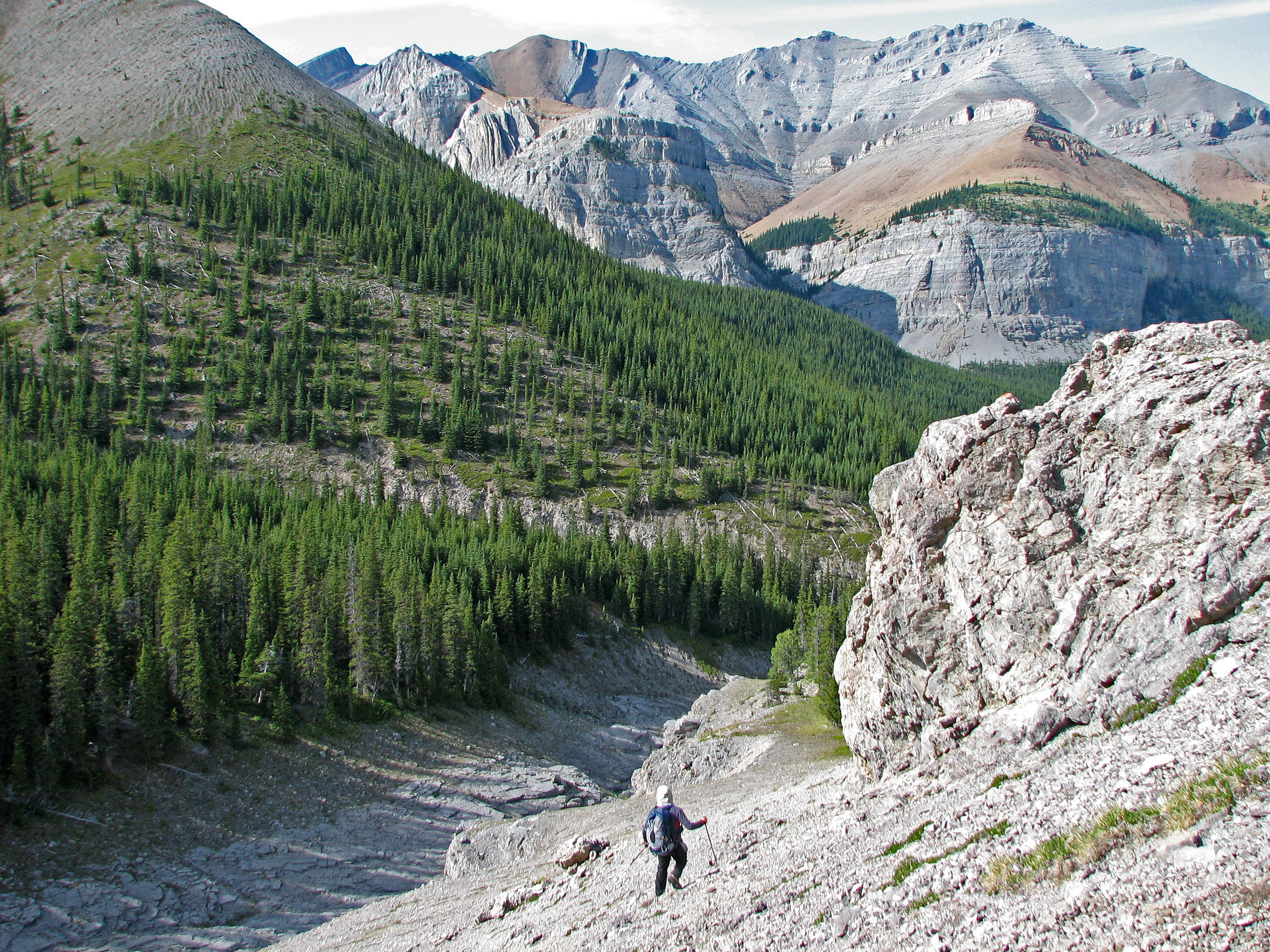
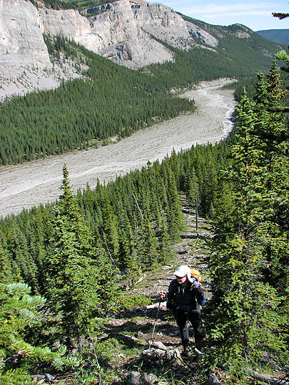
The rib leads to a wooded slope by a canyon
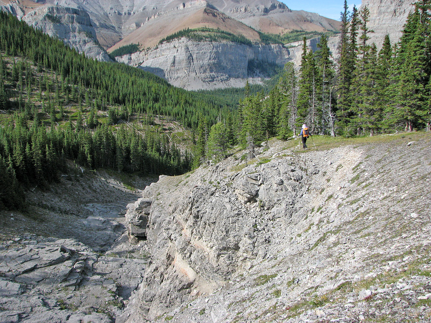
We kept to the right of the canyon and ended up bushwhacking
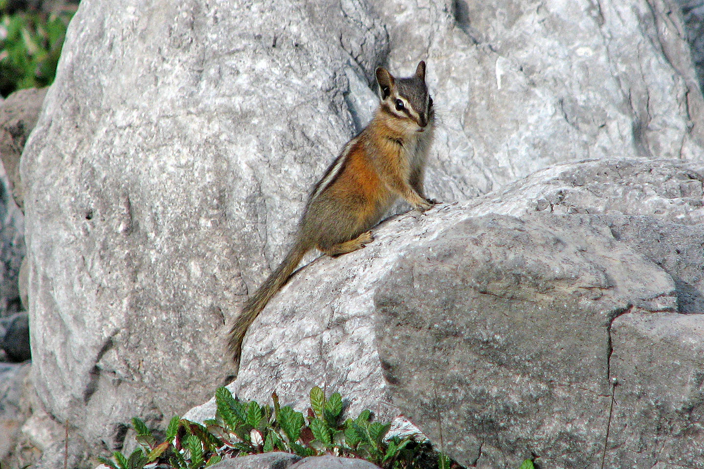
Back on Canyon Creek this chipmunk checked us out
82 J/15 Bragg Creek