bobspirko.ca | Home | Canada Trips | US Trips | Hiking | Snowshoeing | MAP | About
Mount Bryant
Kananaskis, Alberta
September 27, 2008
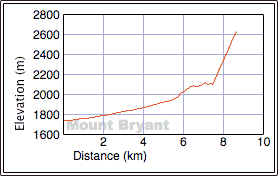
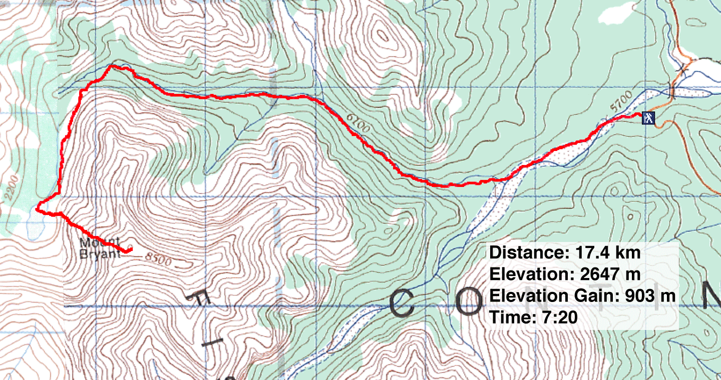
Distance: 17.4 km (10.8 mi)
Cumulative Elevation Gain: 955 m (3133 ft)
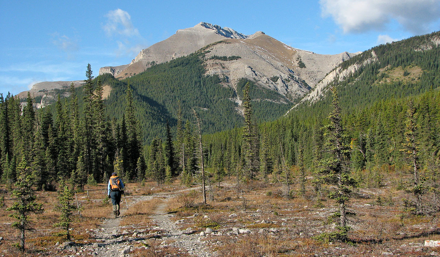
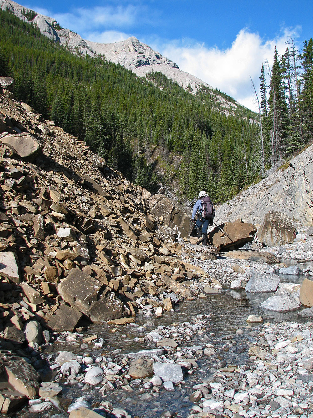
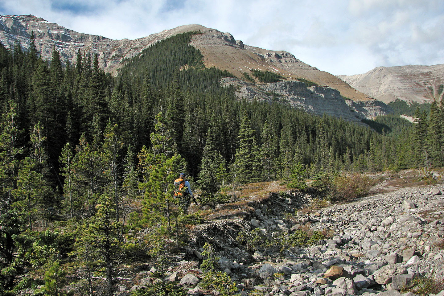
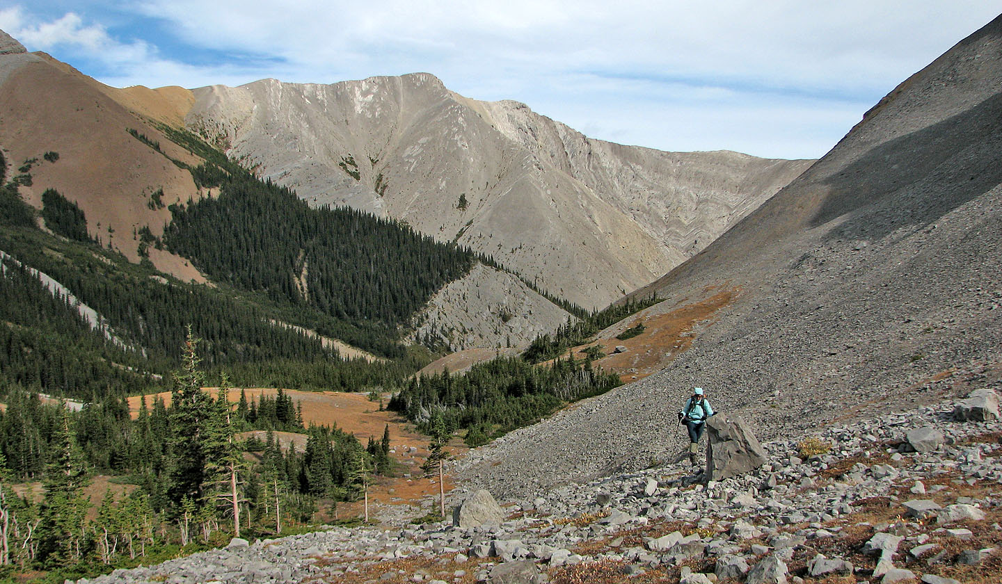
We picked a cold but clear blue day to climb Mount Bryant. Following creekbeds of Upper Canyon Creek, Dinah and I made our way to the base of the mountain. The long trudge up the creek was uninspiring save for a brief view of the summit. The beautiful bright blue lake at the base of the mountain provided a pleasant respite before we slogged up the northwest scree slopes. Climbing from the valley, views were limited, and even the summit was hidden from view until we reached the ridge.
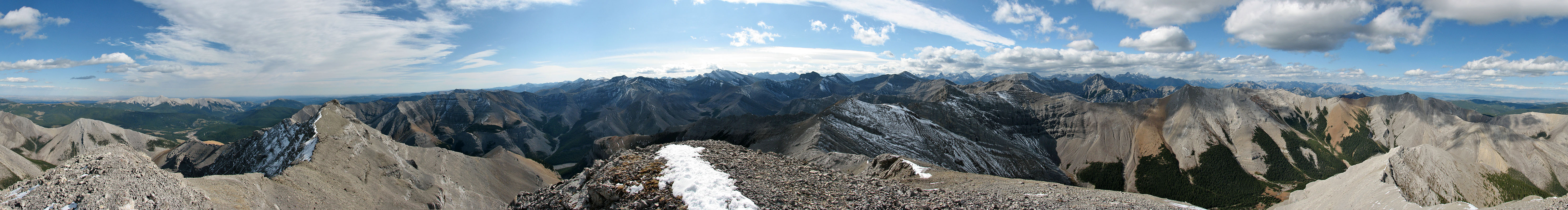
Once on the summit, we were greeted by fine mountain scenery in all directions. But cold, strong winds kept us off balance and kept our stay brief. Instead of continuing to the east peak as we had planned, we just wanted to get off the mountain and out of the wind and the cold. We soon headed back down.
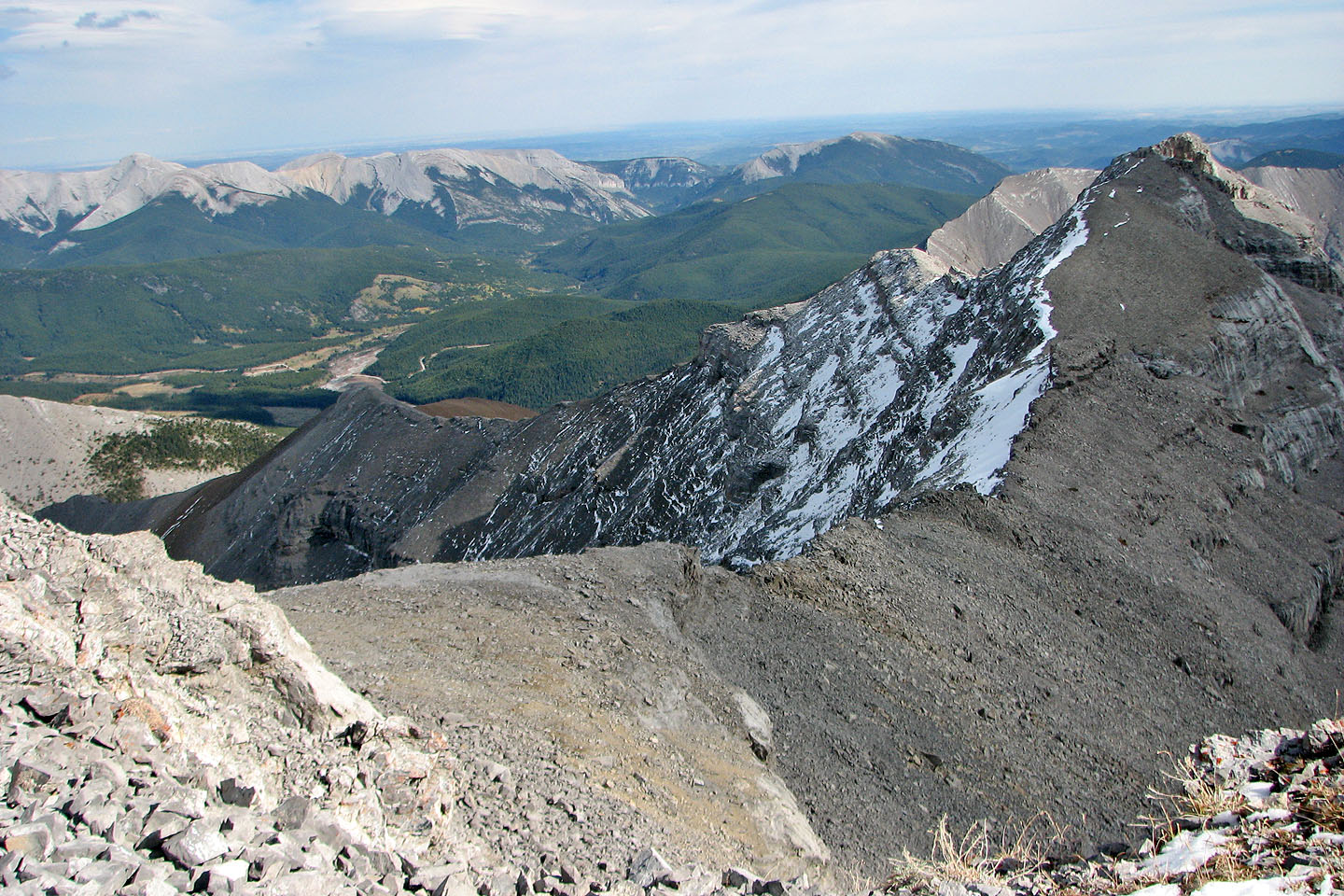
East Peak of Mount Bryant is in the centre
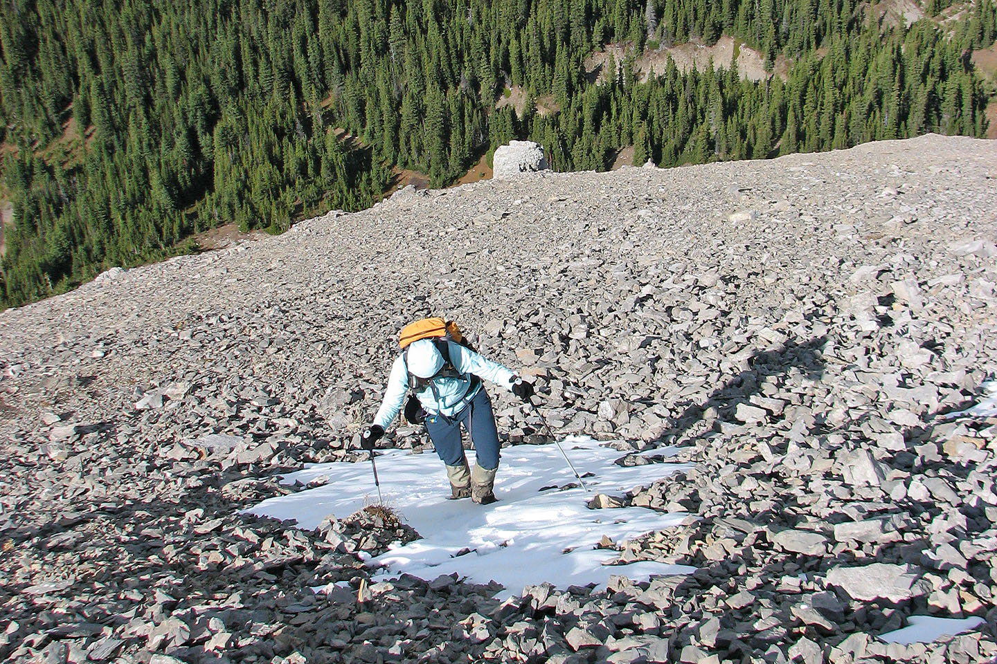
Hiking up the north fork of Upper Canyon Creek
Before we reached the lake, we got a glimpse of the summit (left)
Following a trail to the lake
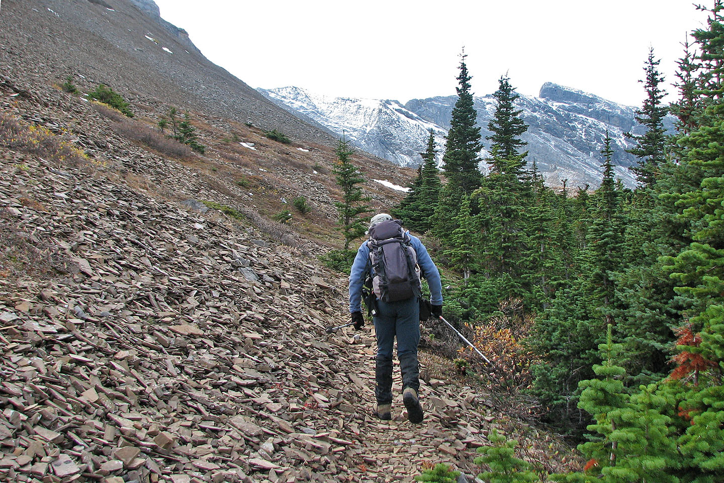
The trail leads to open slopes
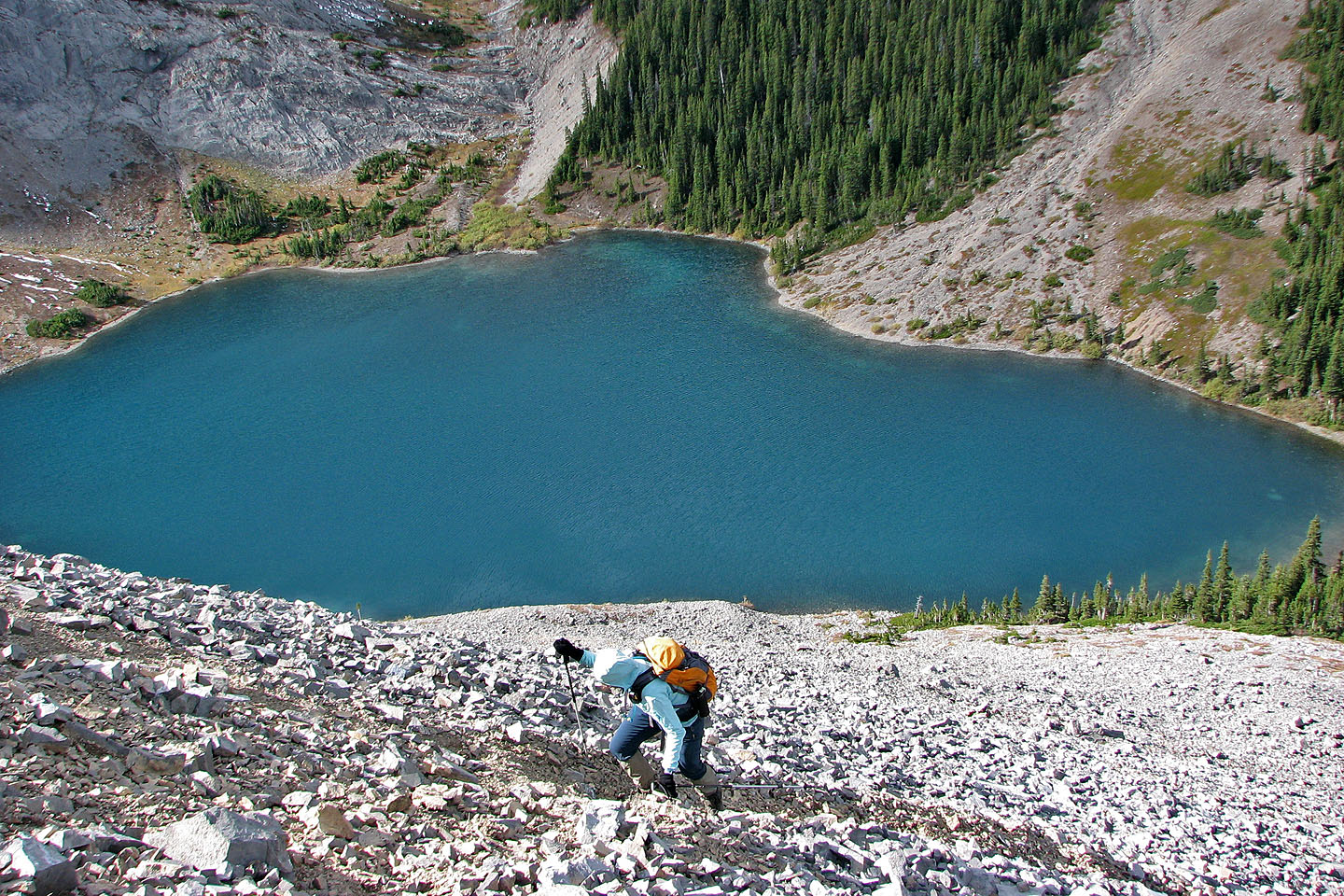
Some elevation was lost on the way to the lake
Looking back at an unnamed peak 409435
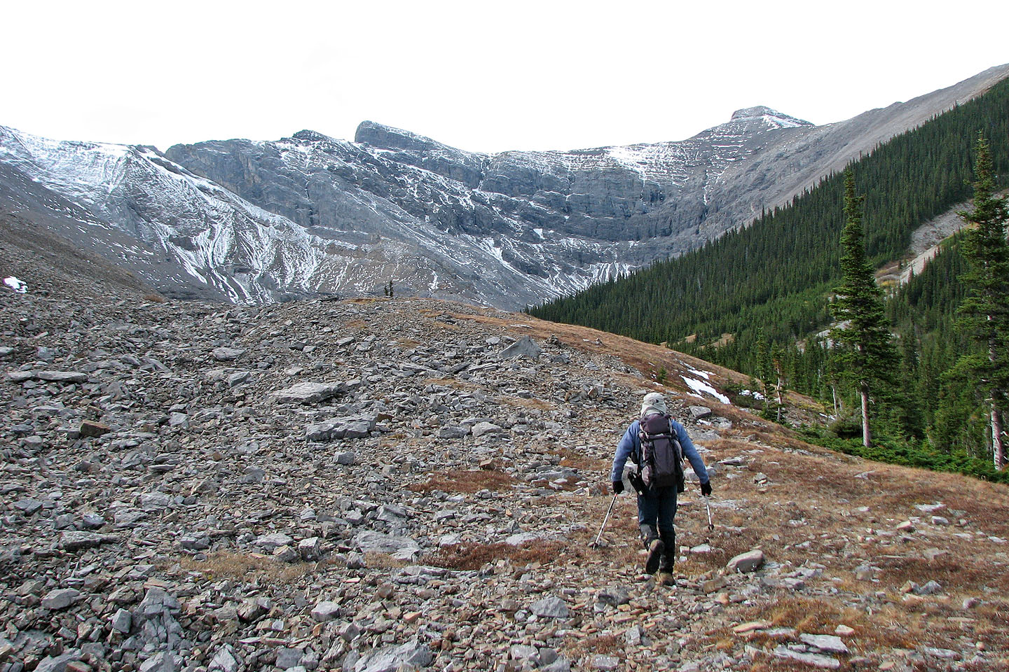
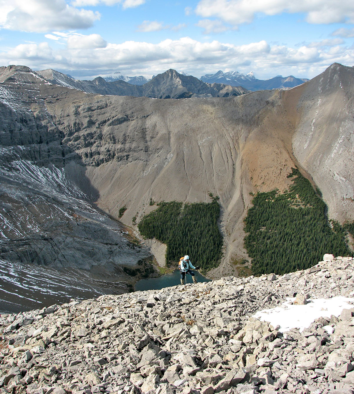
The ascent slopes of Mount Bryant seen from Bryant Lake
We headed to the rock buttress on the skyline
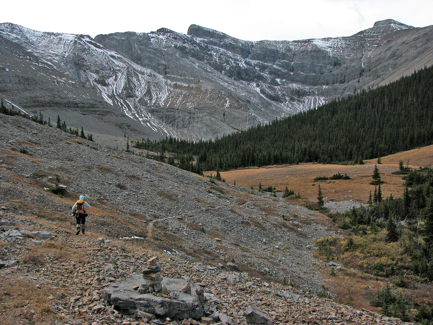
We soon found a trail
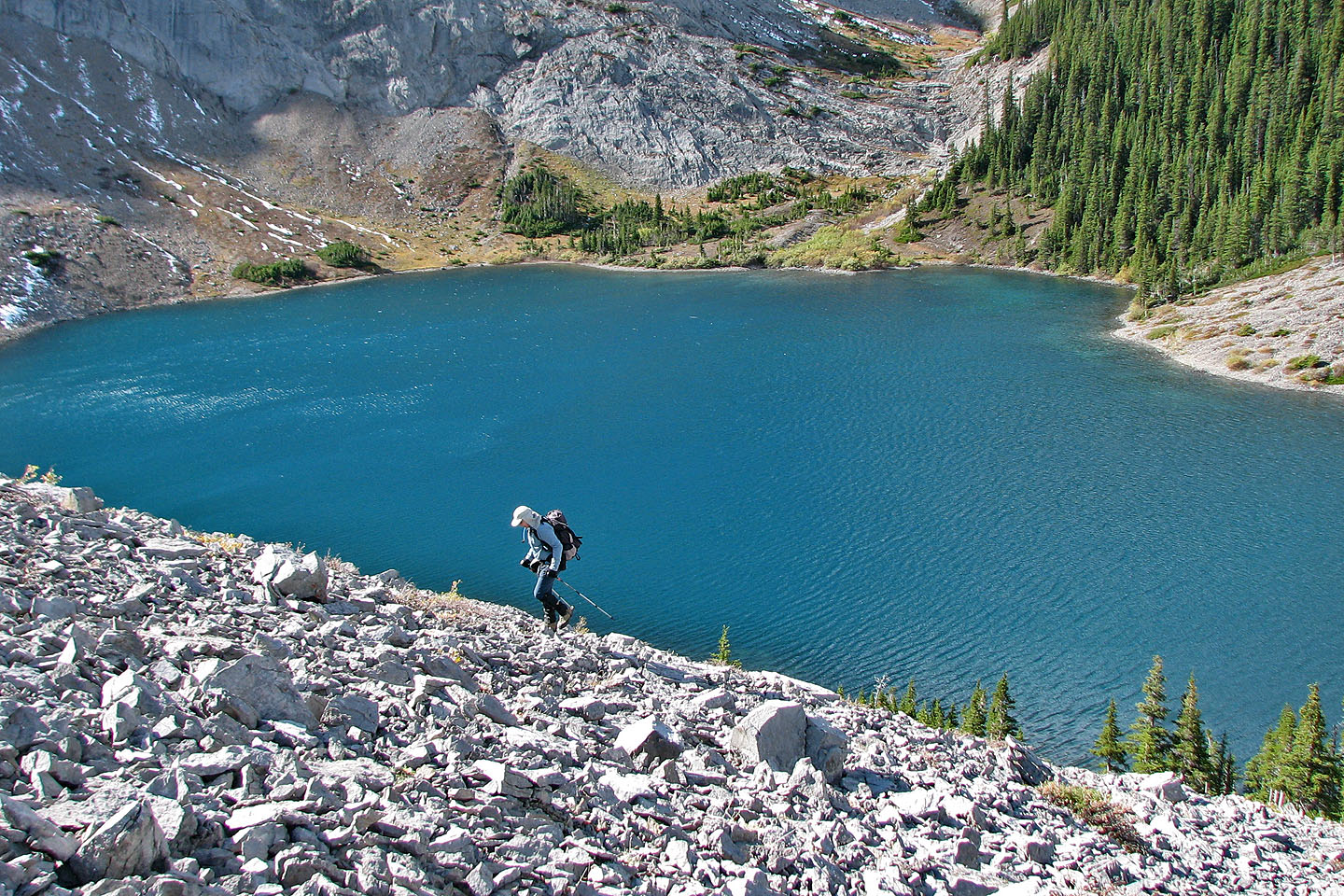
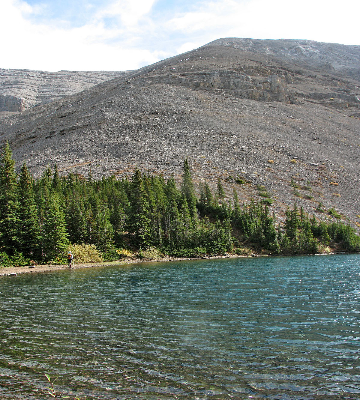
Bryant Lake is a beautiful azure
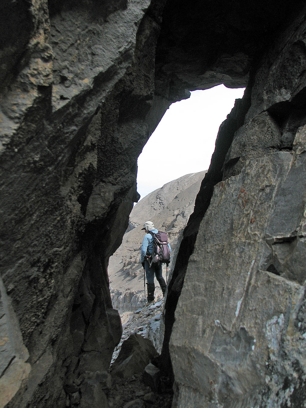
Looking through the window of the rock buttress (mouse over for the reverse view)
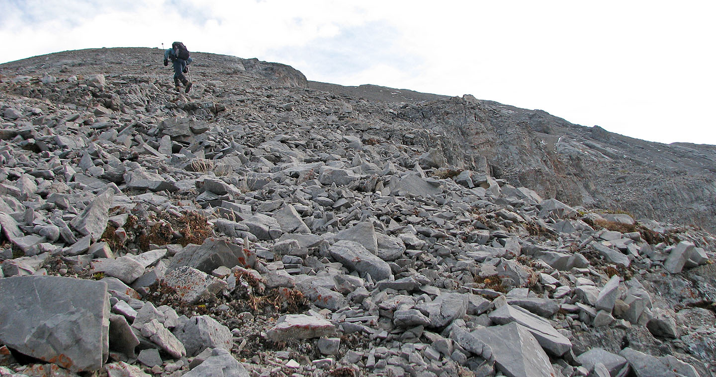
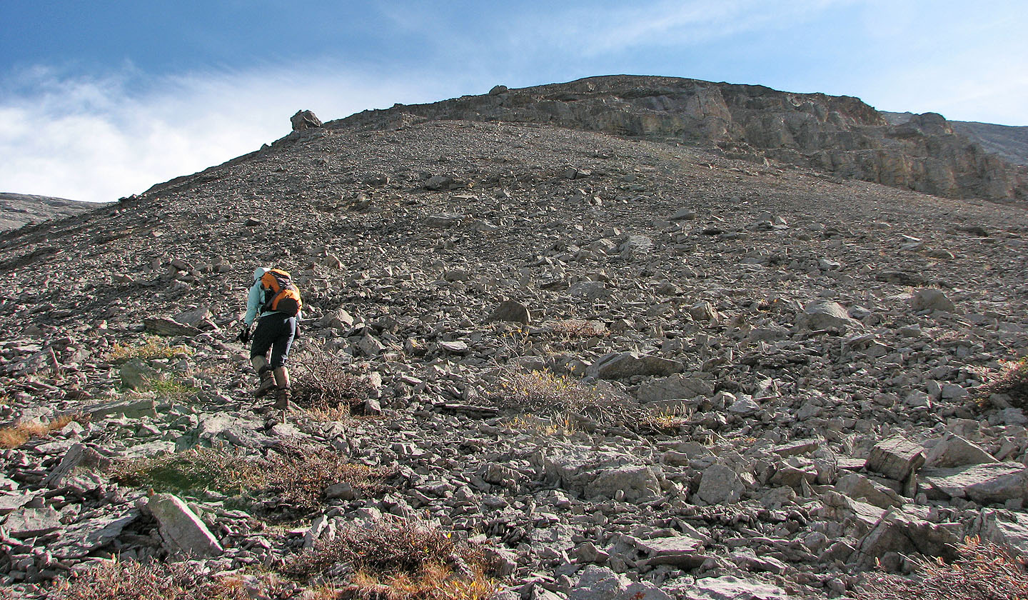
Toiling up the scree slopes
Looking back at the rock buttress
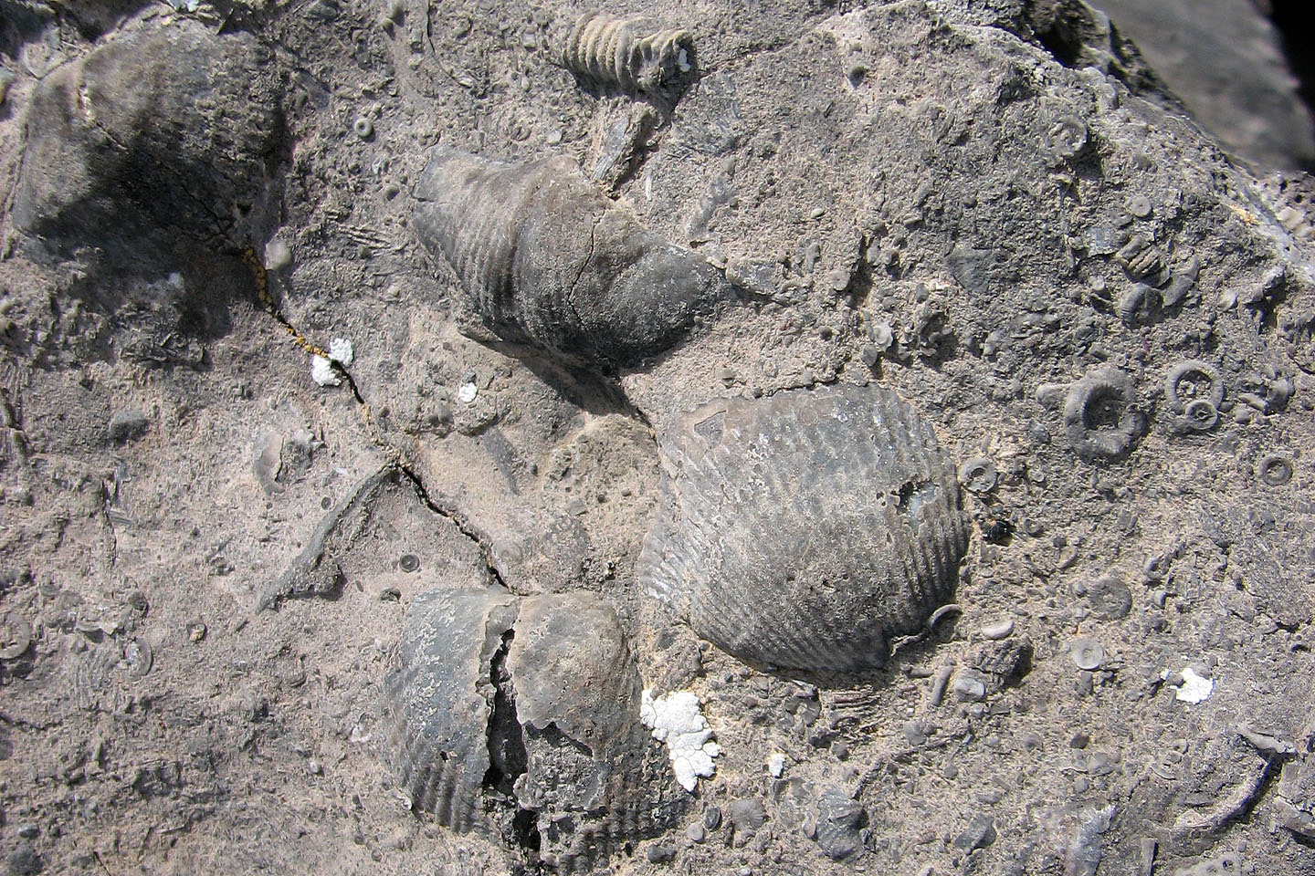
I discovered some fossils on the slope
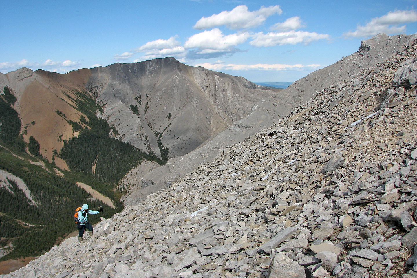
The views changed little as we ascended
Unnamed peak to the west
View to the northwest
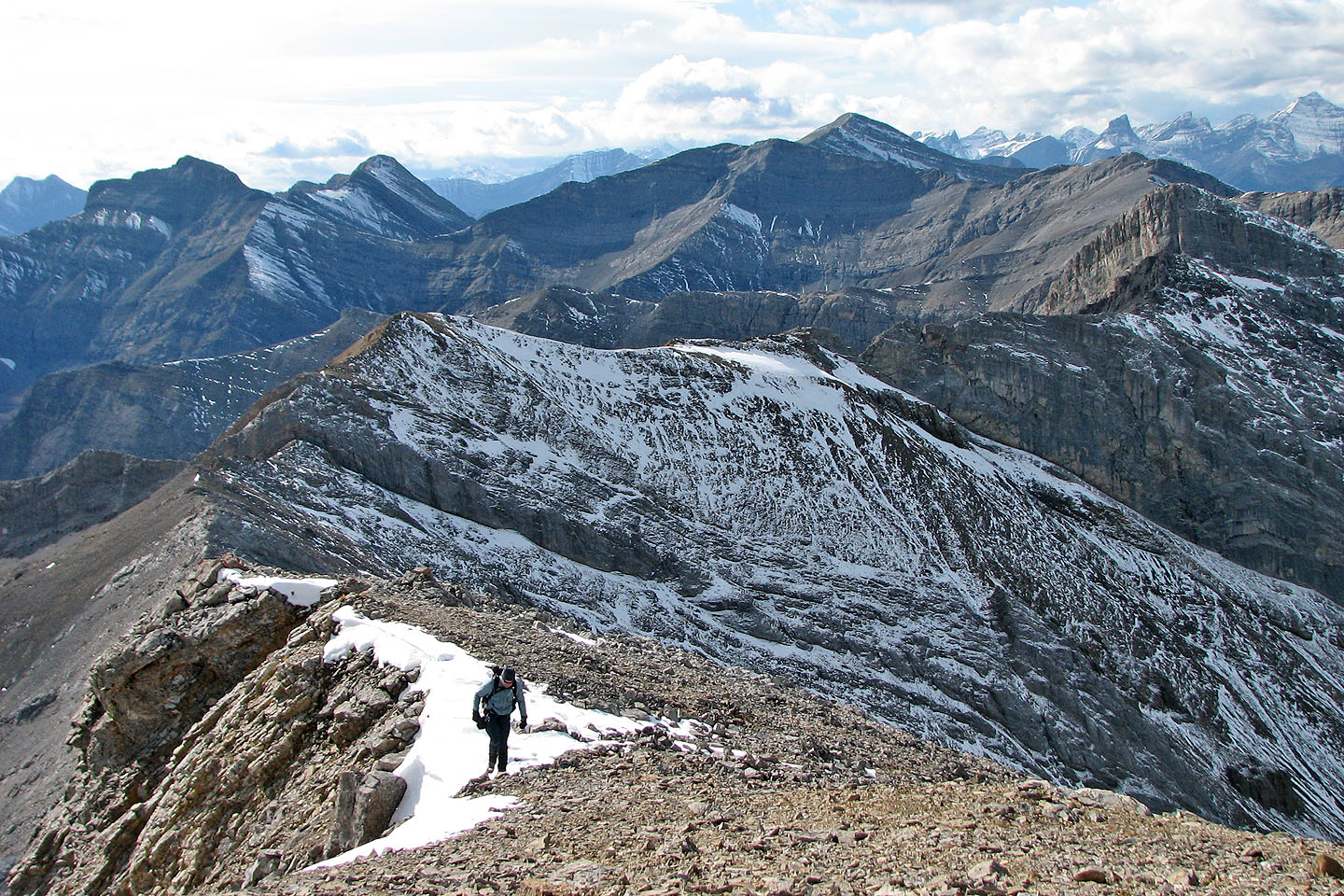
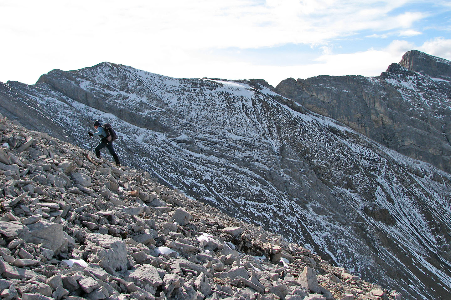
After reaching the ridge, the summit was a short distance away
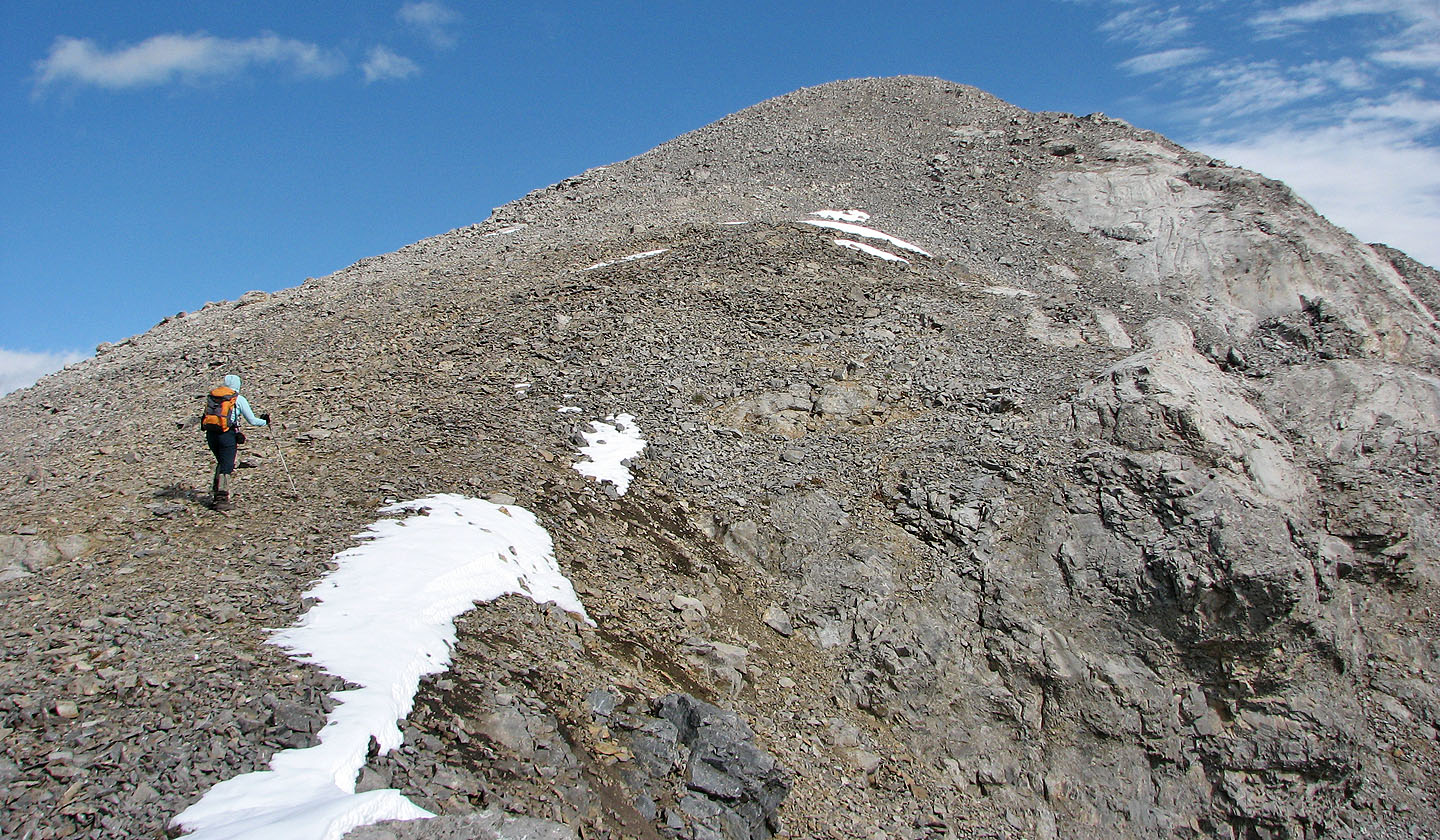
The last section to the summit
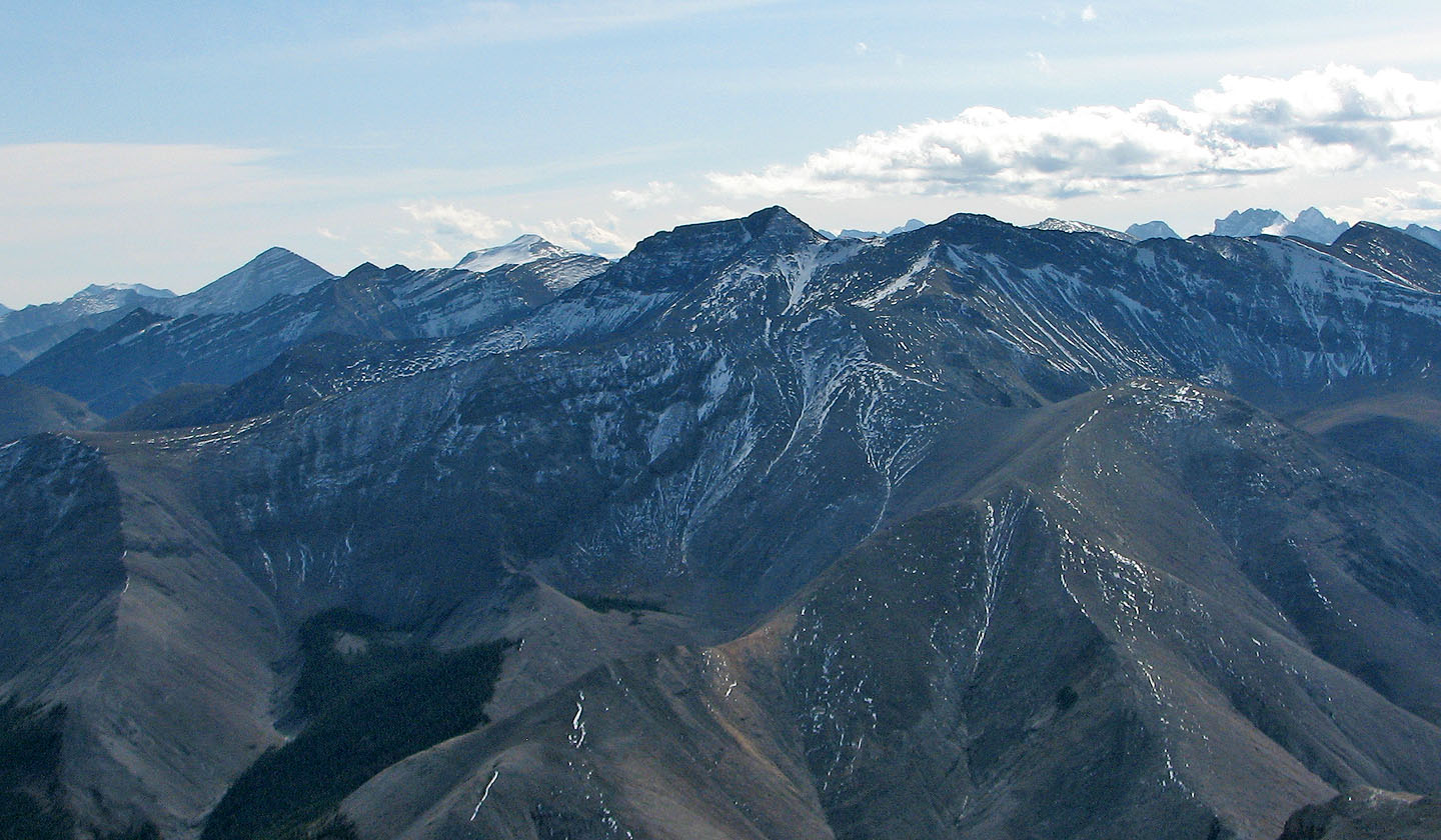
The east peak and east ridge
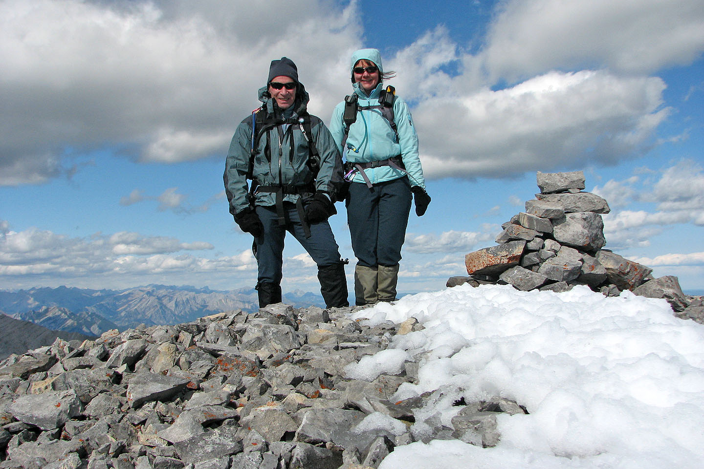
On the summit
82 J/15 Bragg Creek