bobspirko.ca | Home | Canada Trips | US Trips | Hiking | Snowshoeing | MAP | About
Isola Peak
Kananaskis, Alberta
May 23, 2009
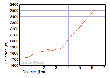
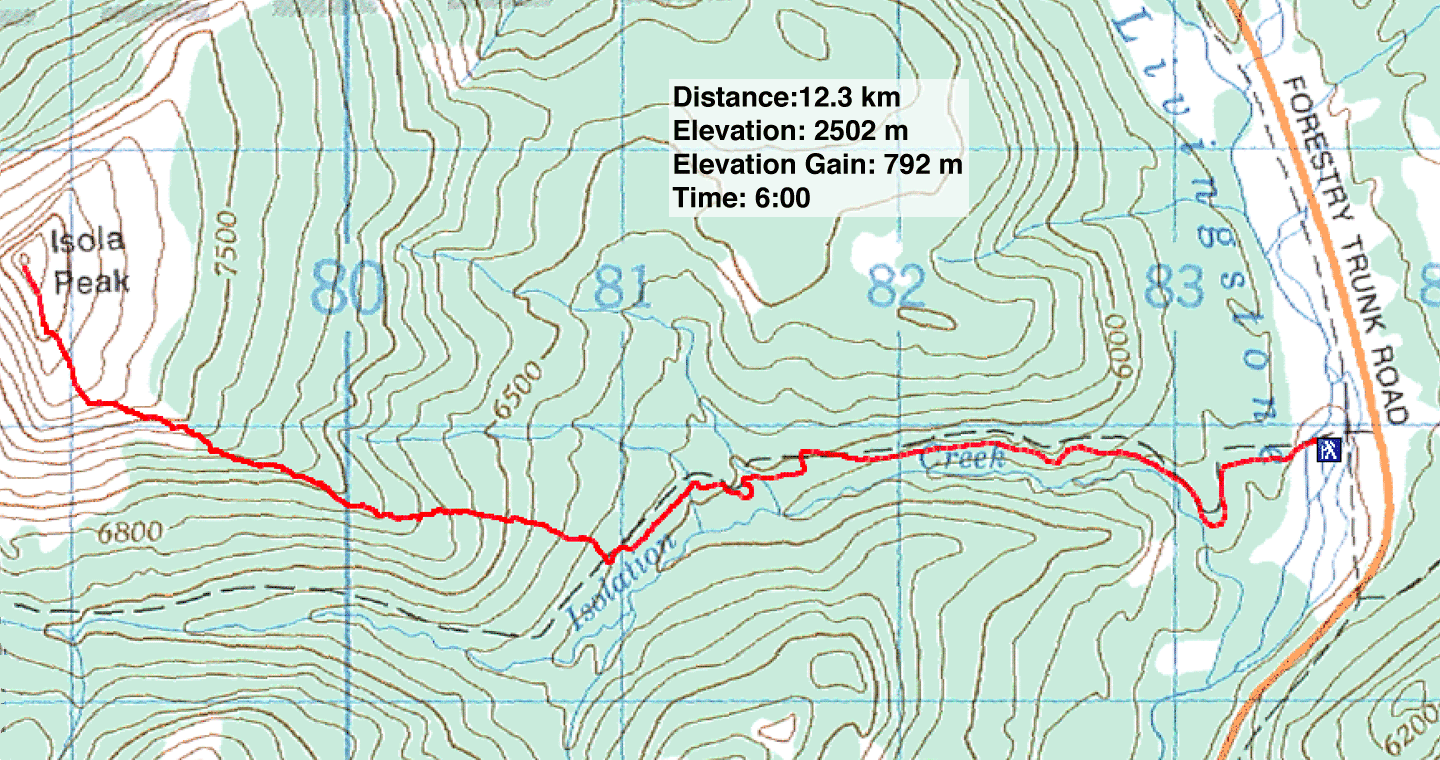
Distance: 12.3 km (7.6 mi)
Cumulative Elevation Gain: 812 m (2664 ft)
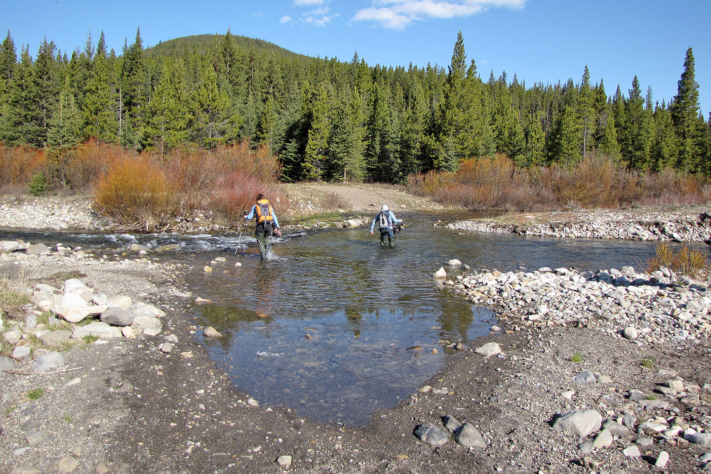
When I attempted Isola Peak three years ago, I turned back when I encountered a blonde black bear. I wanted to return so when Sonny suggested climbing it, I quickly agreed. Kelly, Dinah and I piled into his car and drove down Hwy. 940. We turned onto a side road and parked by the Livingstone River.
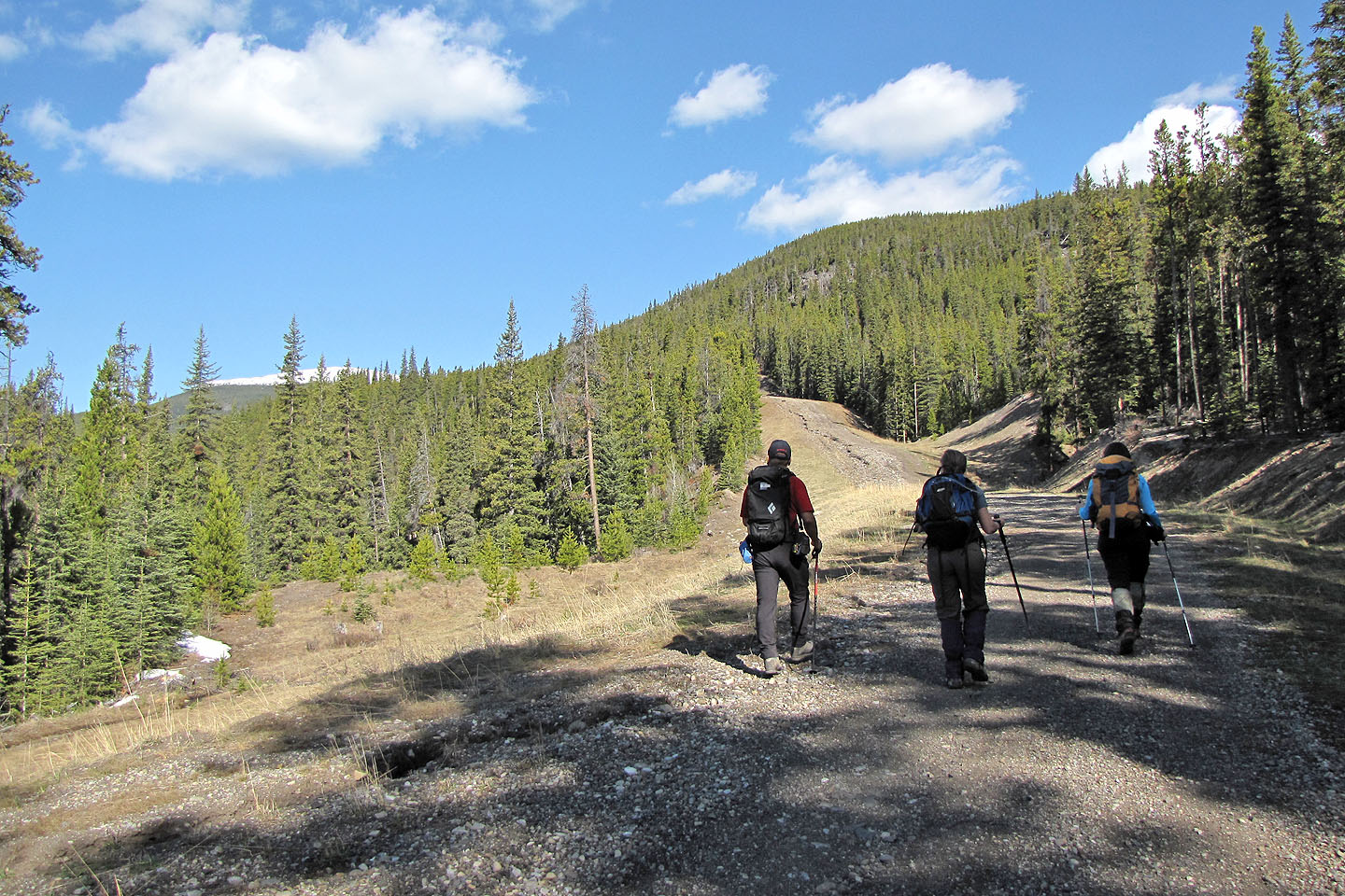
After fording the river, we started up the road. This time there was no bear. The road, which parallels Isolation Creek, leads to an excavated gravel flat before dropping down and crossing two streams. About 400 m after the second stream – 3.4 km from the trailhead – we left the road and started up the wooded slope.
There was little deadfall and undergrowth, but a patchwork of deep snow and dry forest bed left us searching for the easiest course. Eventually we reached the southeast ridge and followed it to the treeline.
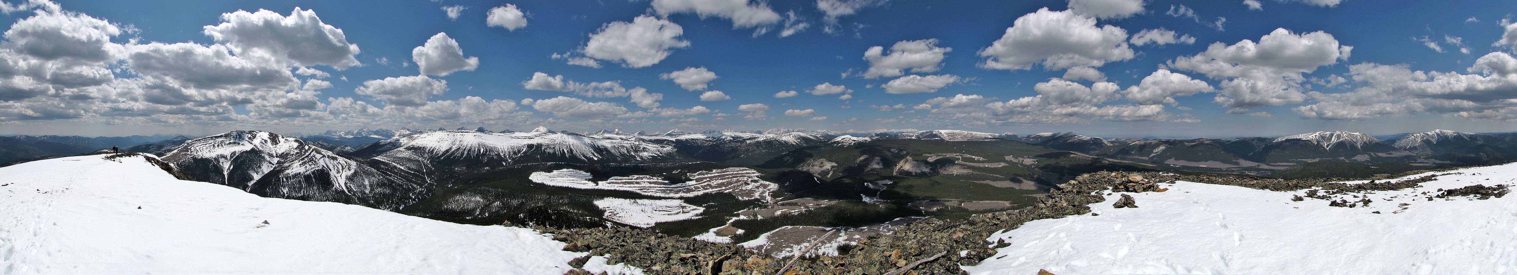
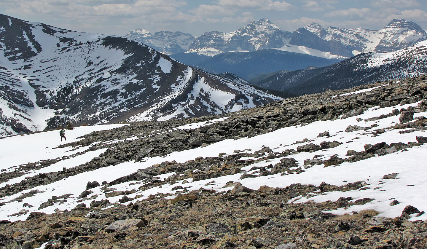
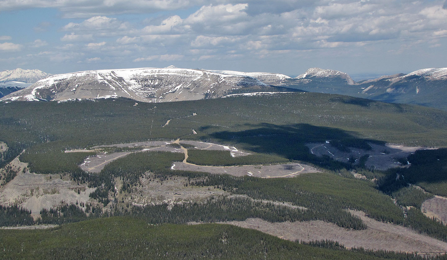
Past the treeline, we traipsed up the broad, featureless east slope to the summit. The clearcut slopes below detracted from the scenery close at hand, but we were treated to distant views of the snow-capped mountains in High Rock Range.
When we made our way back to the road, we came across a short, freshly cleared path. We also saw evidence of fresh trail work at the treeline. We wondered if this was a trail-in-the-making that would lead to the summit. If such a trail becomes established, Isola Peak may see more visitors.
KML Track
Sonny Bou's Trip Report
Crossing Livingstone River
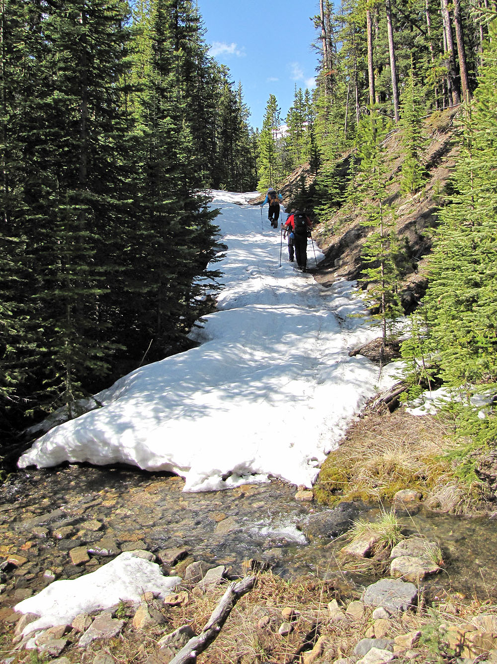
Hiking up the road
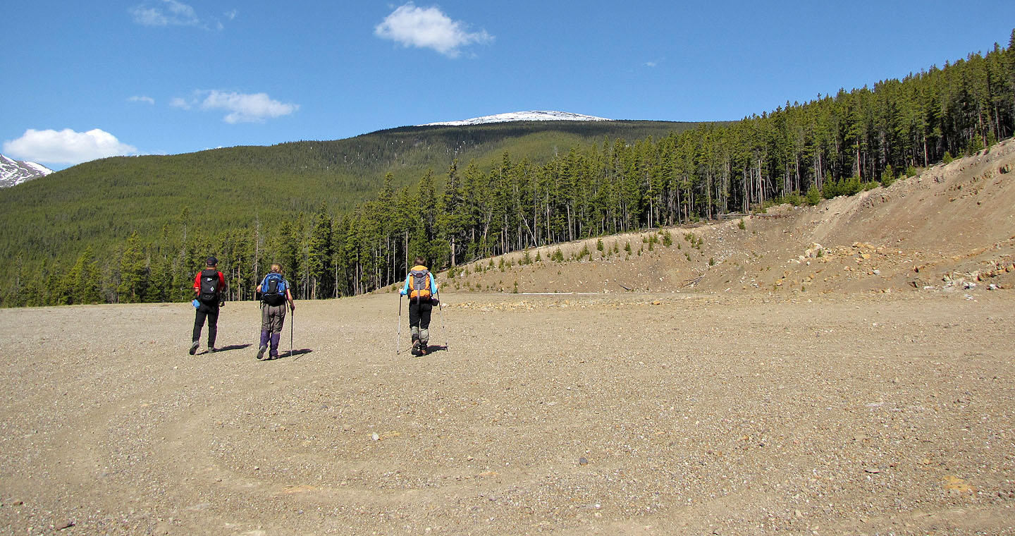
Isola Peak seen from the gravel flat
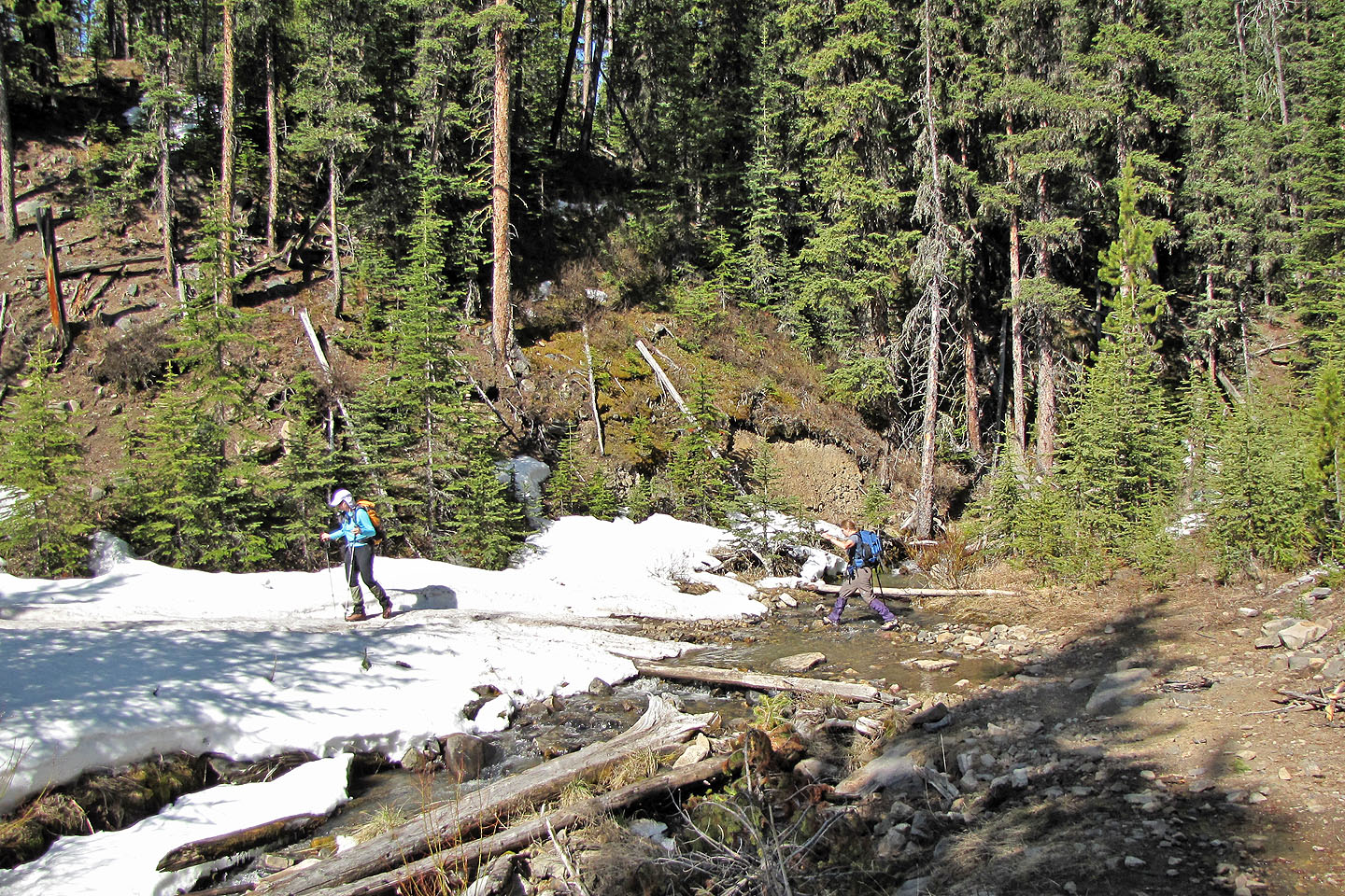
First stream crossing
Second stream crossing
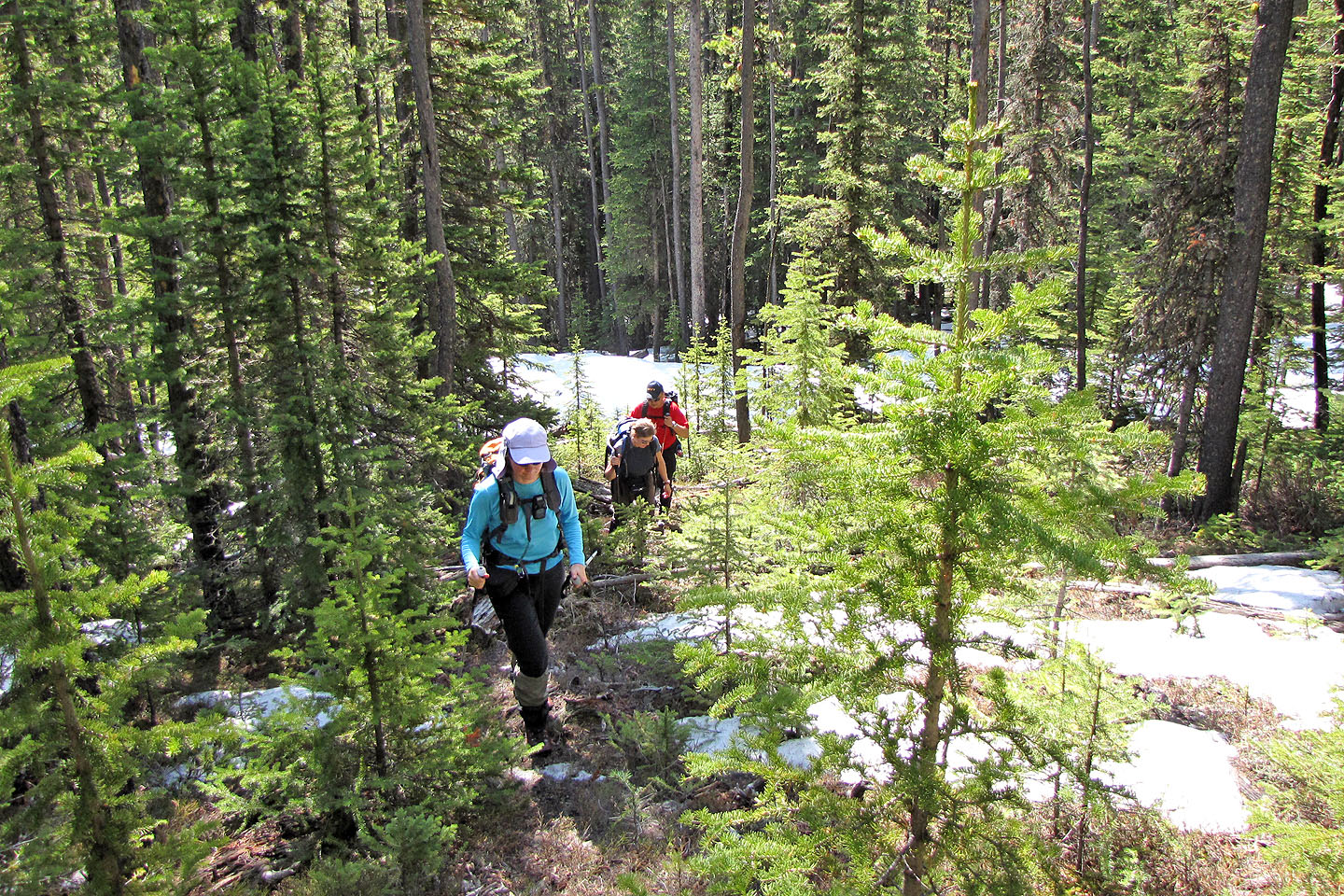
We left the snow-covered road (below) and started bushwhacking
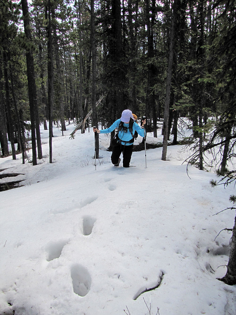
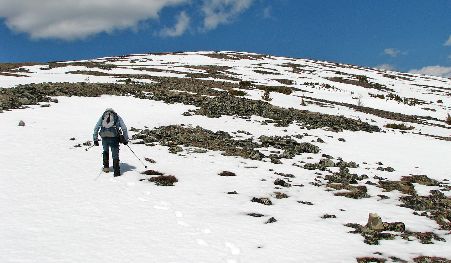
We also started postholing
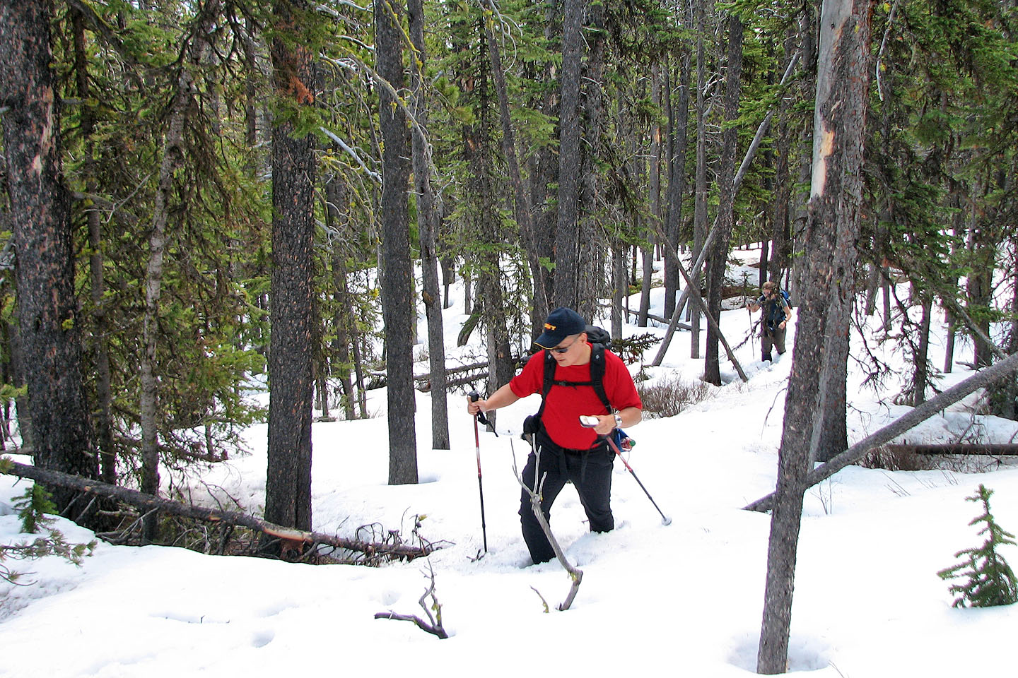
Sonny and Kelly work their way through the snow
Dinah looks back as Kelly crosses a snow patch
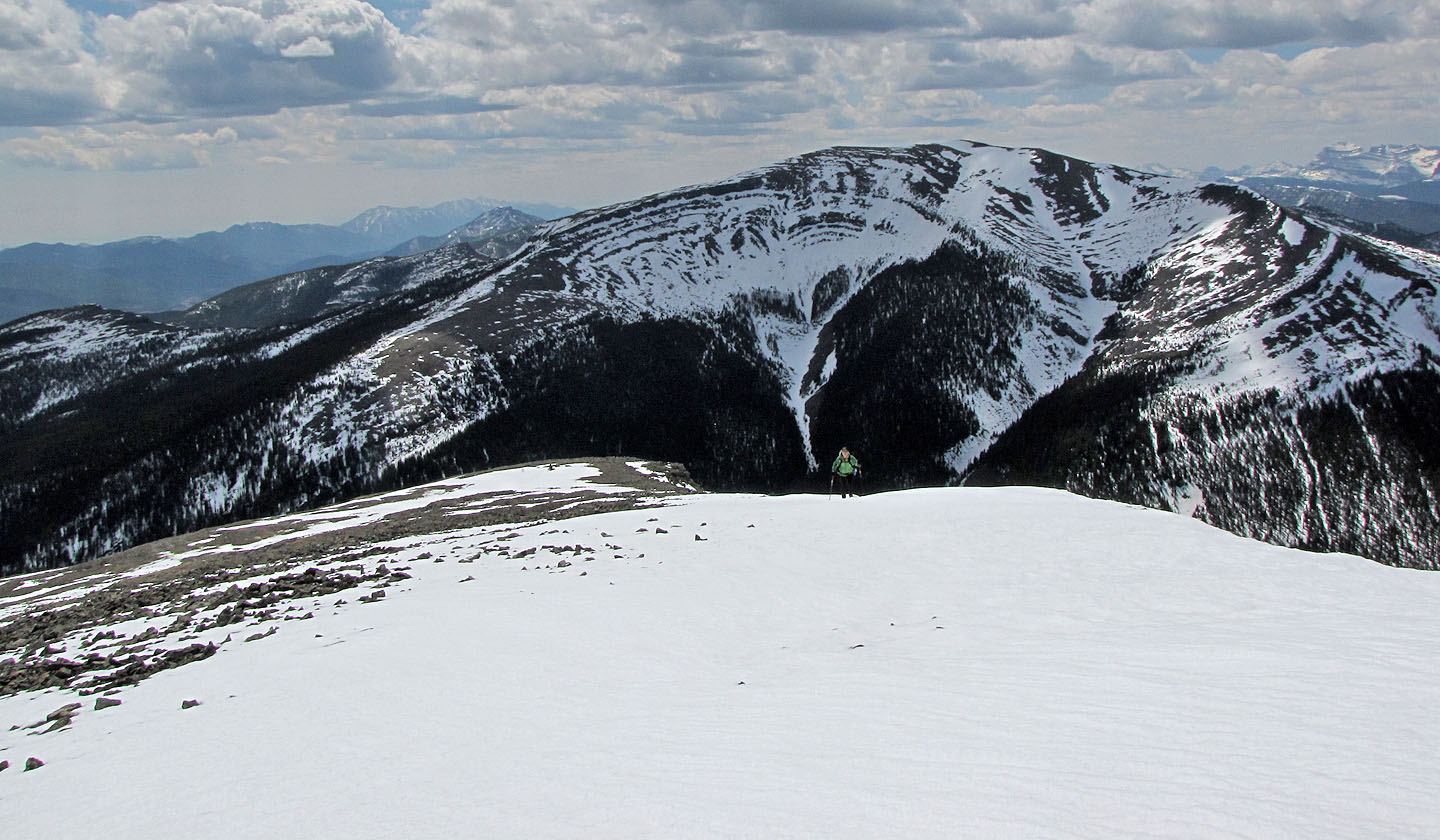
Finally we see the summit ridge
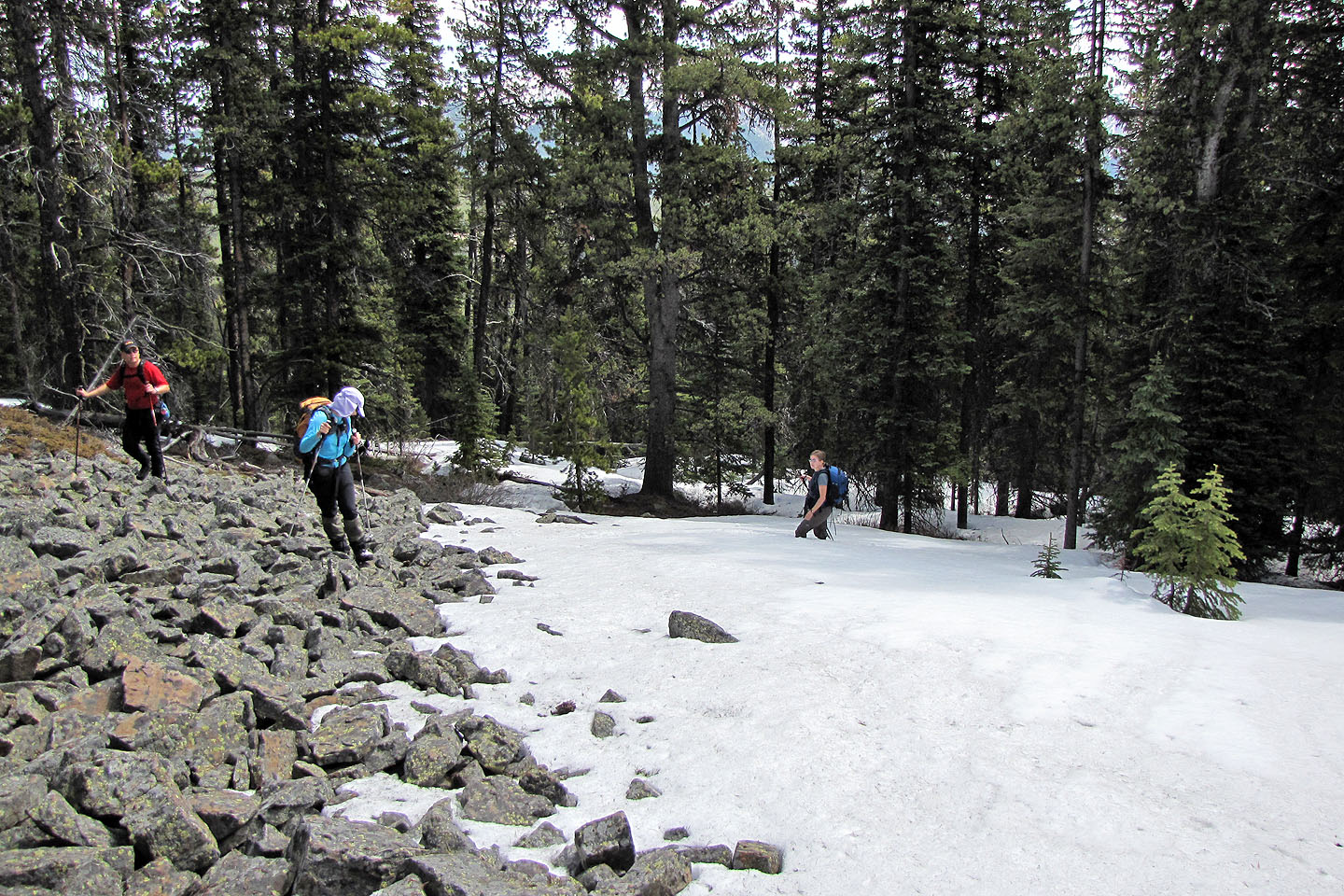
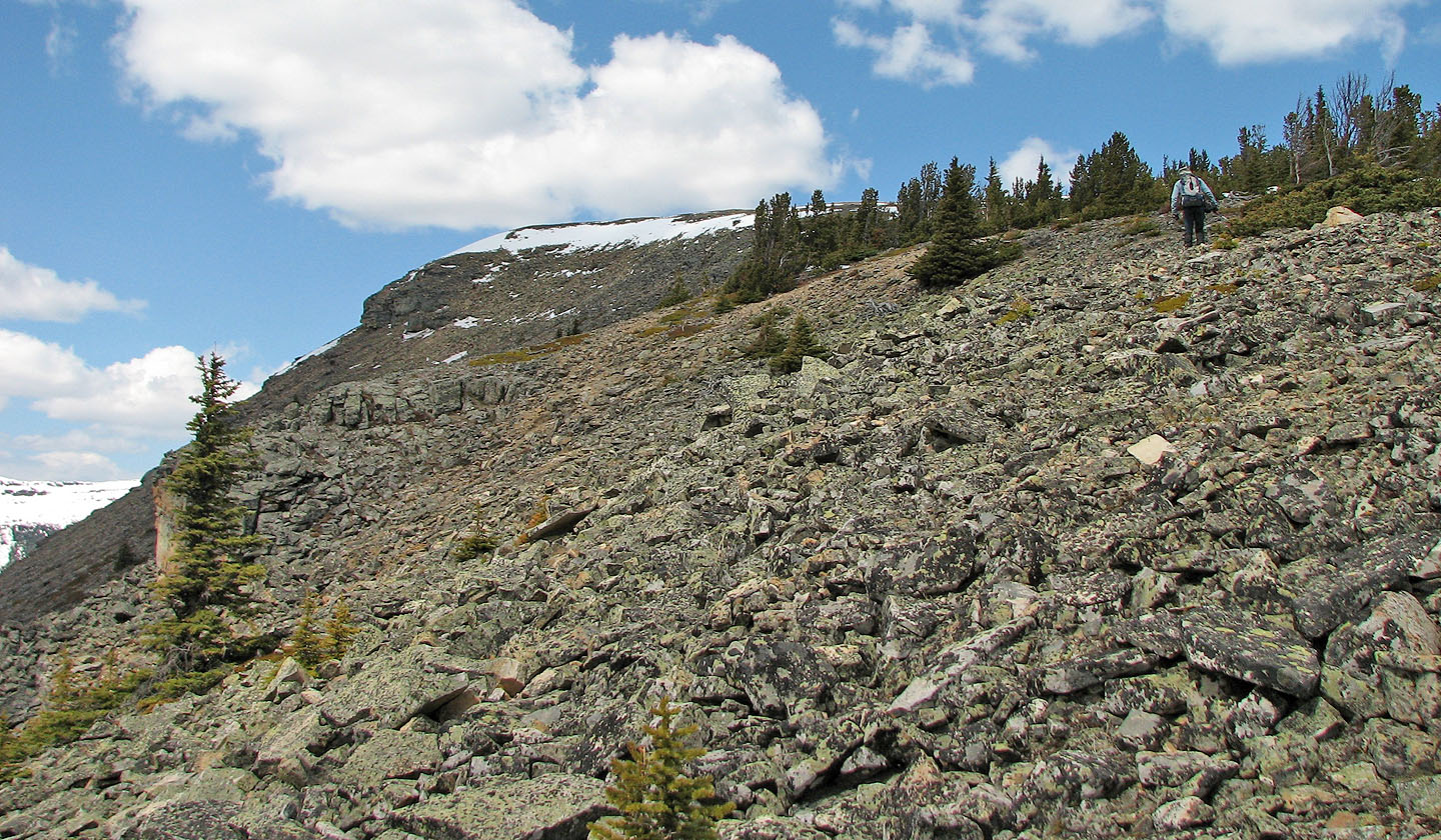
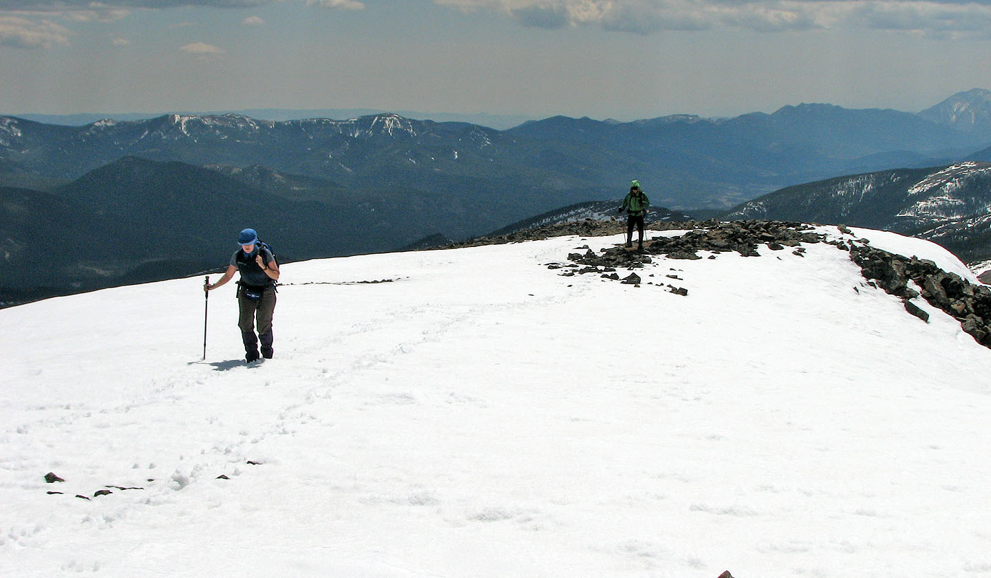
We reached an open ridge
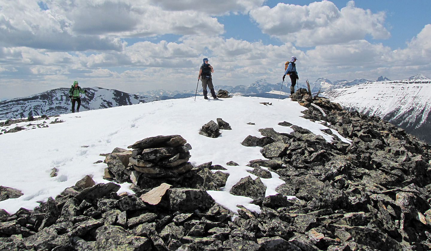
The summit is on our right but we headed to the ridge crest ahead
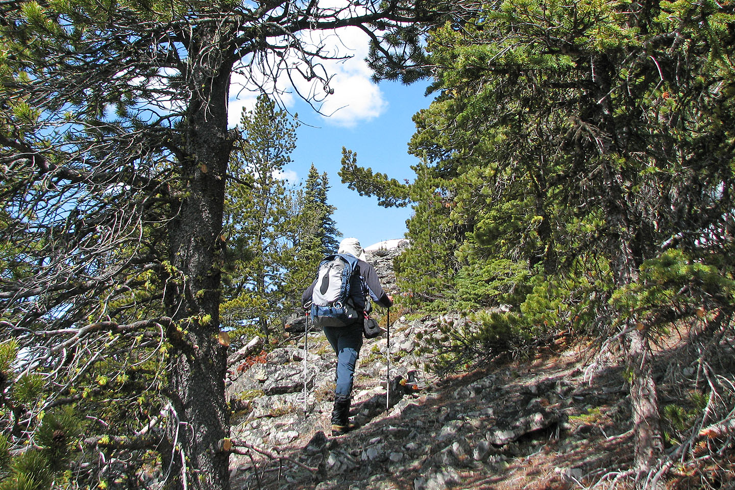
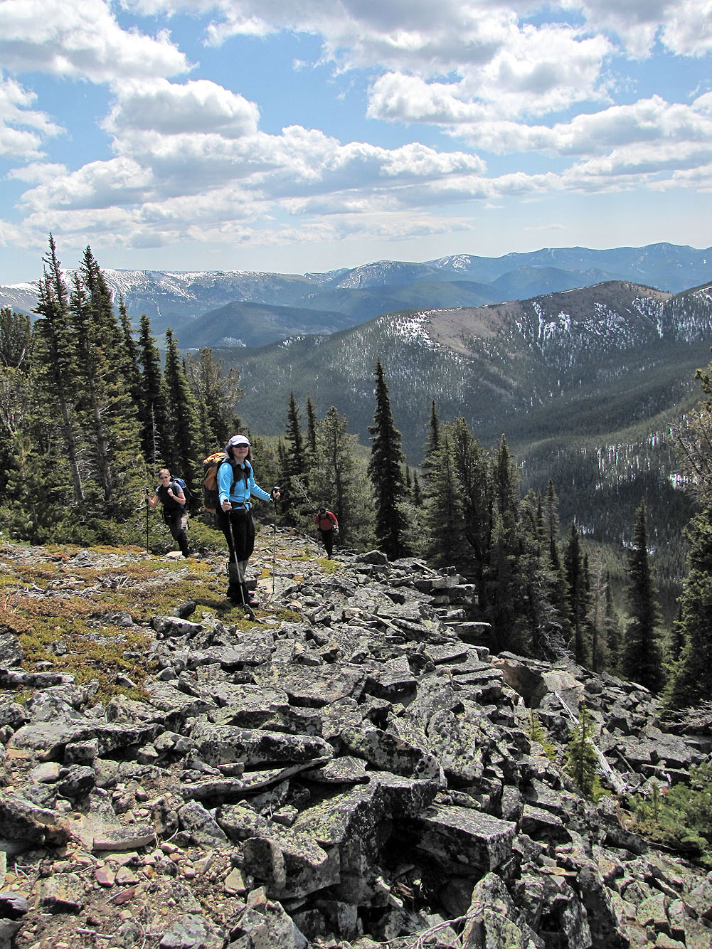
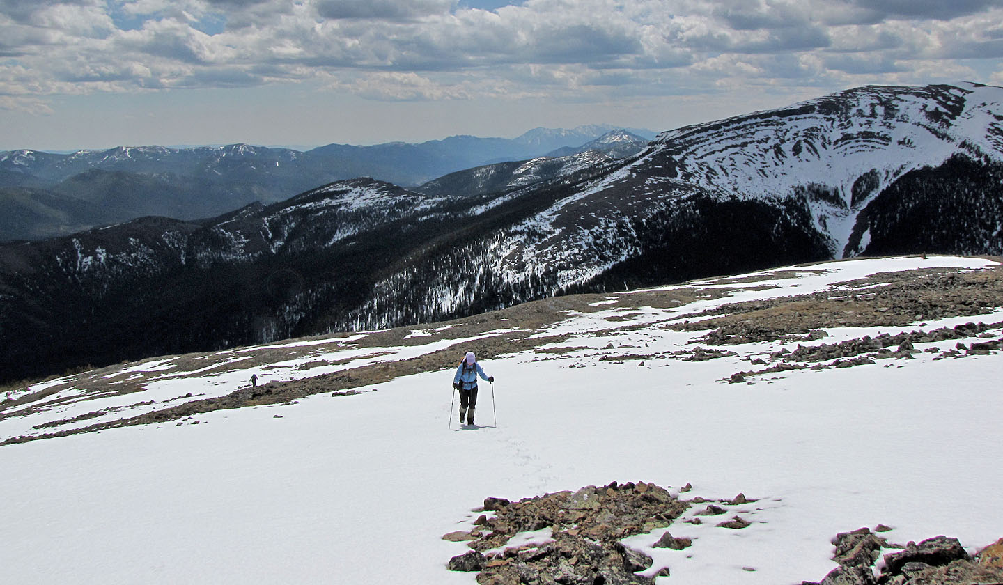
Ascending a rather unremarkable slope
Sonny pauses to take photos
Kelly and Dinah hiking up
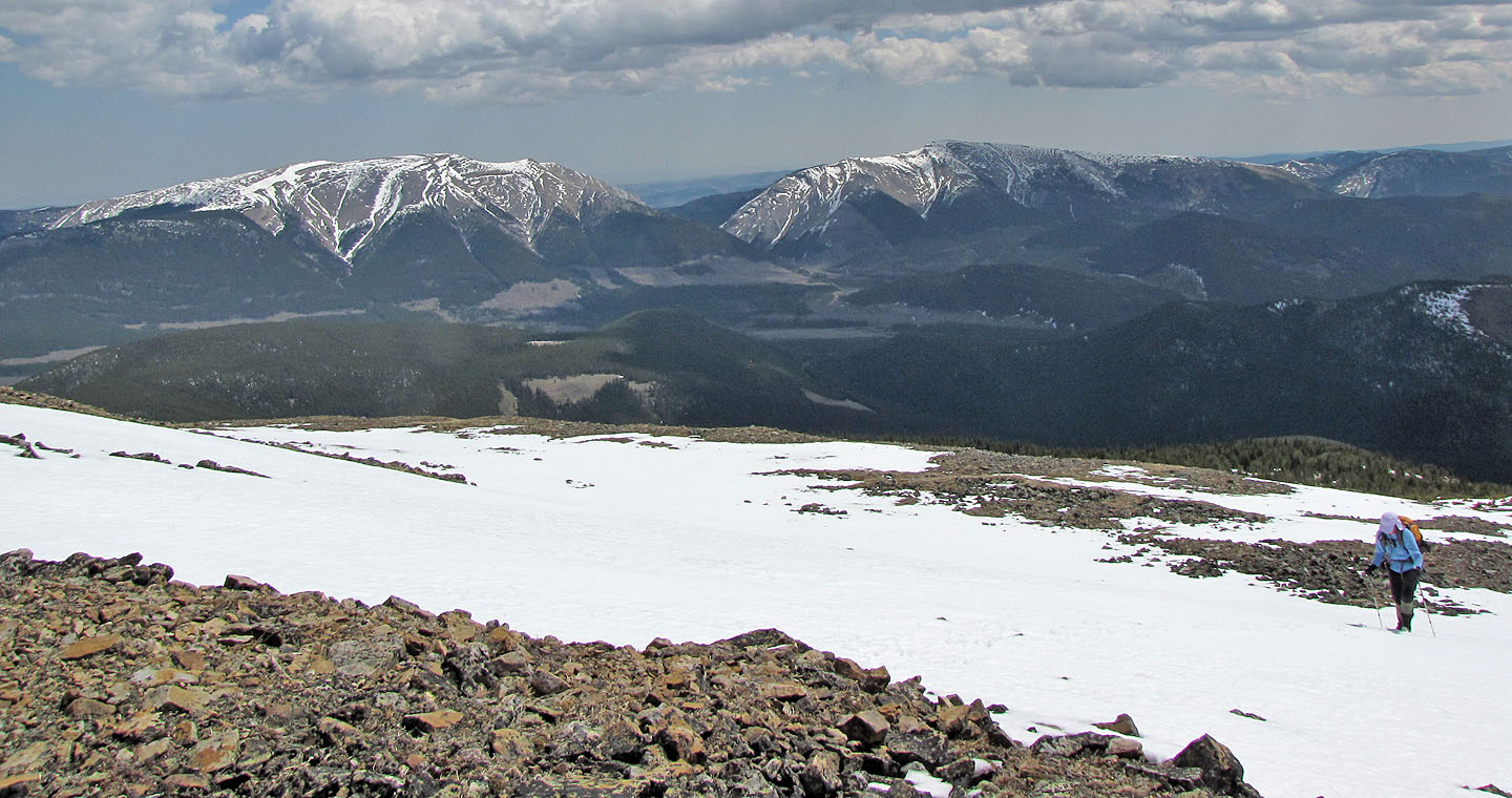
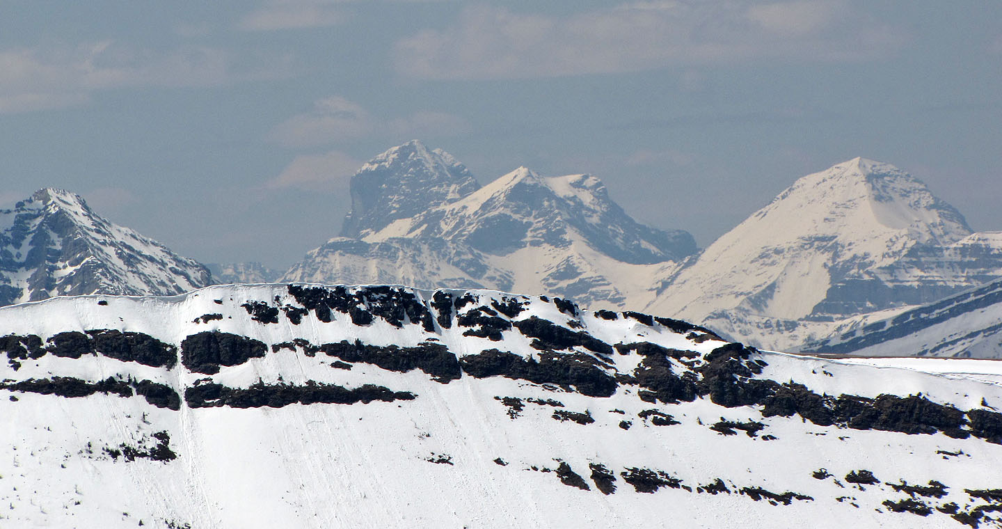
Mount Livingstone and Coffin Mountain
Monola Peak to the south
Kelly and Sonny near the summit
Arriving on top of Isola
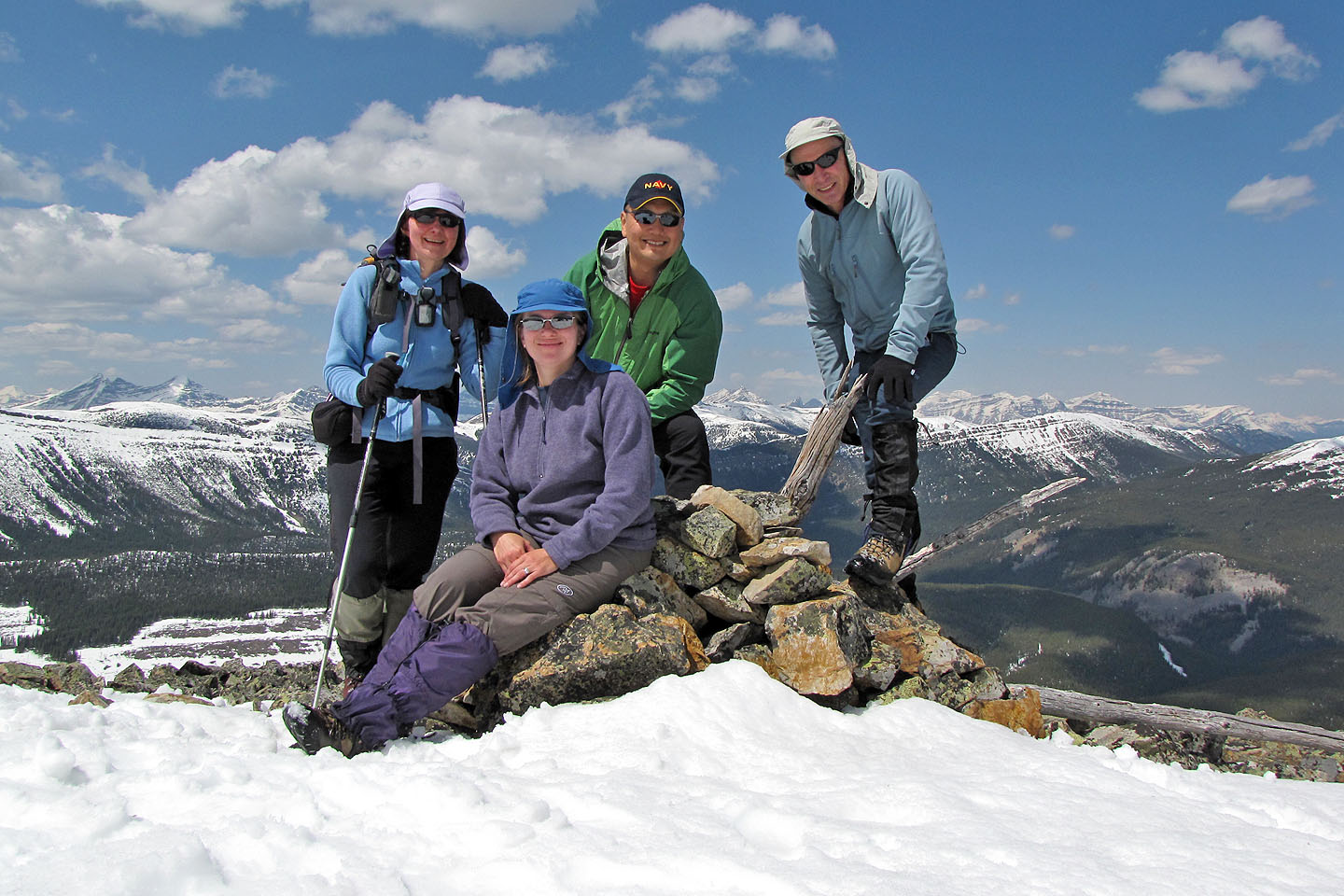
Dinah, Kelly, Sonny and myself
Plateau Mountain and Sentinel Peak
Mount Harrison (3359 m) lies 50 km west
82 J/1 Langford