bobspirko.ca | Home | Canada Trips | US Trips | Hiking | Snowshoeing | MAP | About
Twin Peaks, North Peak
The highest points on Cabin Ridge
Oldman River Area, Alberta
November 3, 2007
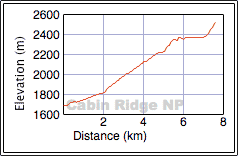
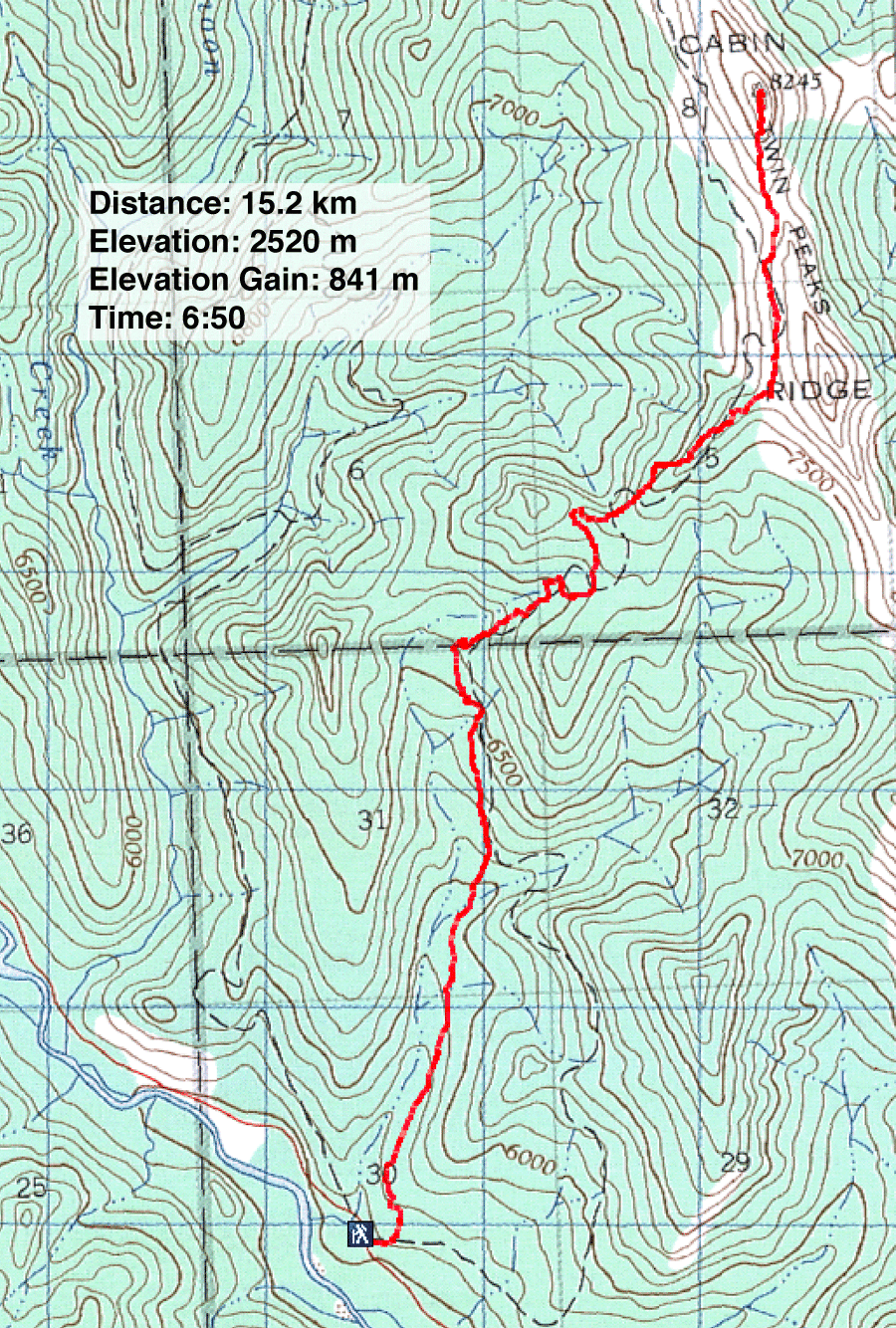
Distance: 15.2 km (9.4 mi)
Cumulative Elevation Gain: 880 m (2887 ft)
The previous week, Dinah and I climbed the South Peak of Twin Peaks. That trip was a shakedown, a means to sort out a route, but the extensive routefinding left us with insufficient daylight to continue to the north and highest summit. Now we returned to climb the North Peak. Sonny Bou joined us, although his trip would include both summits and incur an added 120 m of elevation gain/loss.
We retraced our descent route from last week. We started hiking up the exploration road and in a couple of minutes, came to the monstrous cairn. We continued up the road to a small meadow where we picked up the seismic exploration trail on the right. We lost a few minutes near the start when we went right instead of left at a fork before realizing our mistake.
When we reached the base of the South Peak, Dinah and I stopped for a snack while Sonny headed up the South Peak. After our break, Dinah and I contoured along the lower slope of the South Peak to the col. We started up the North Peak, taking our time to allow Sonny to catch up to us.
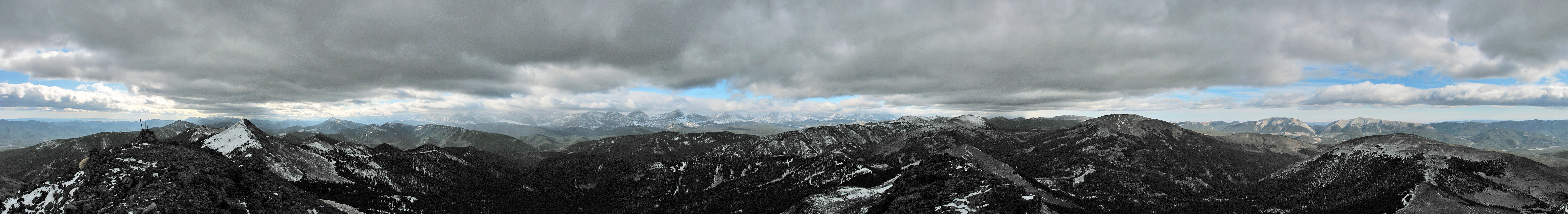
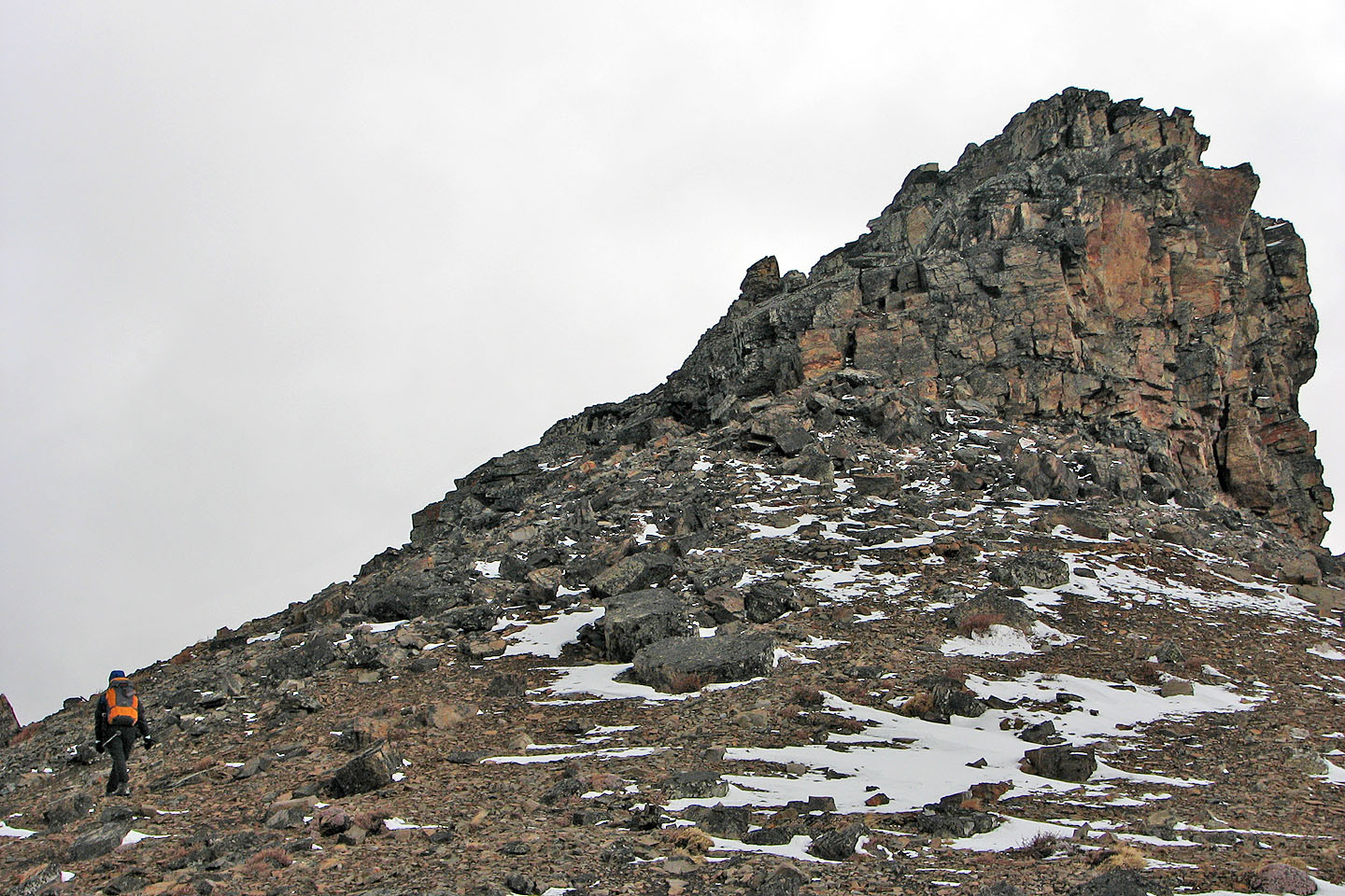
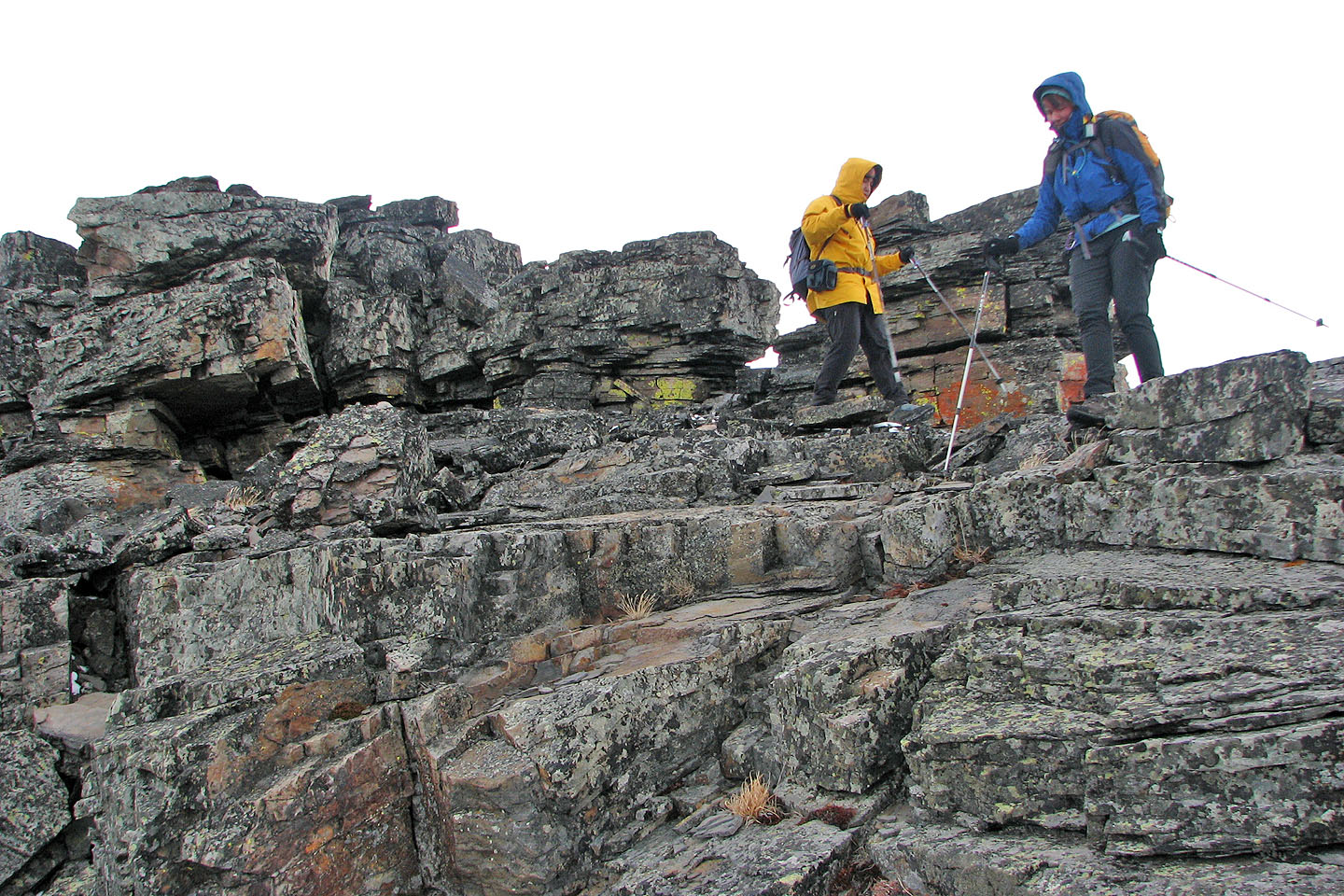
We regrouped on the summit block of the North Peak. We had to scramble up much of the block, but it was easy and enjoyable. The North Peak is much more interesting than its twin.
For Dinah and I to return to Twin Peaks to climb the North Peak seemed anti-climatic, but we still appreciated the views the second time around as well as seeing the South Peak from the North Peak. Given the good approach trail and spectacular scenery, Twin Peaks should be a popular destination.
KML and GPX Tracks
Sonny's Trip Report
This road will take us to the seismic exploration trail, seen as a faint dark
line near the bottom of the hill in the centre. The South Peak is in the centre.
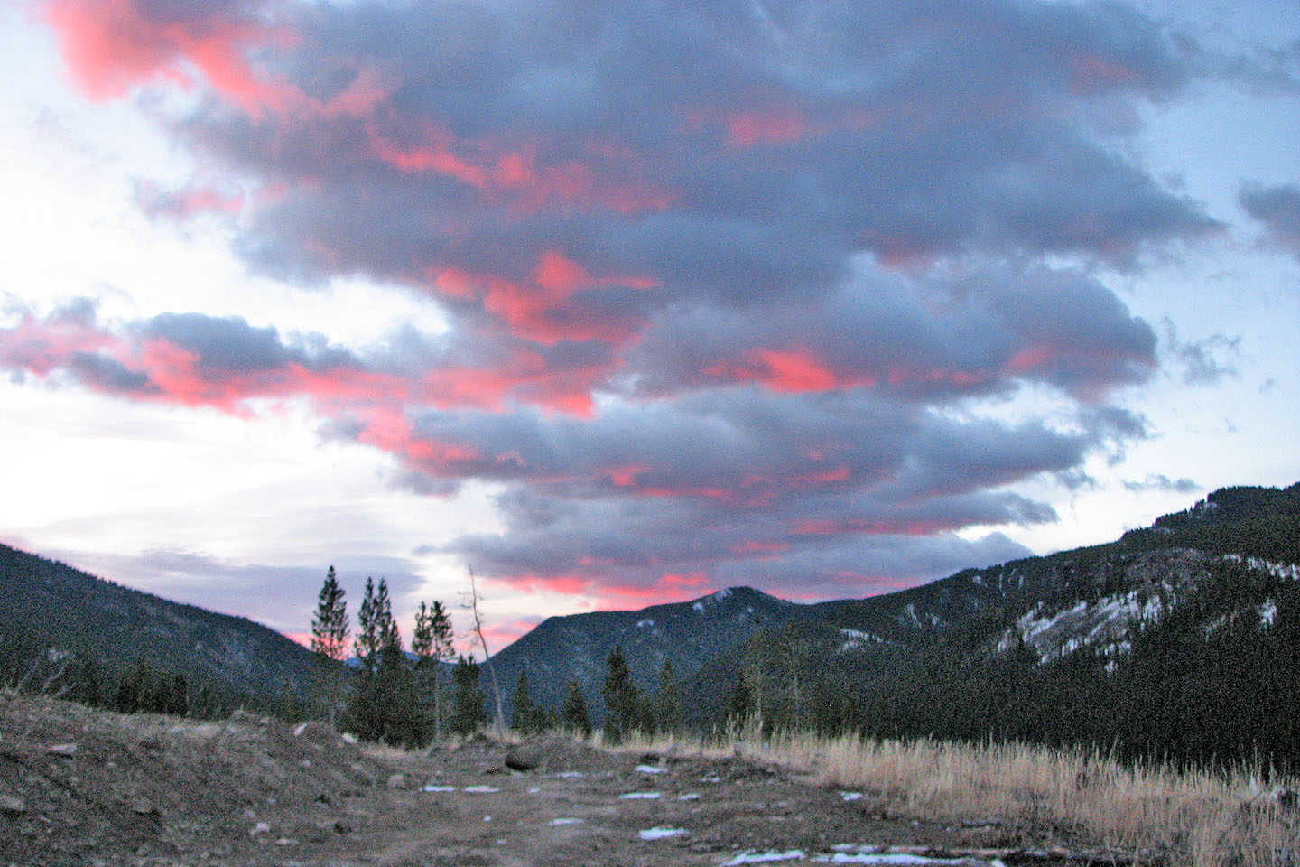
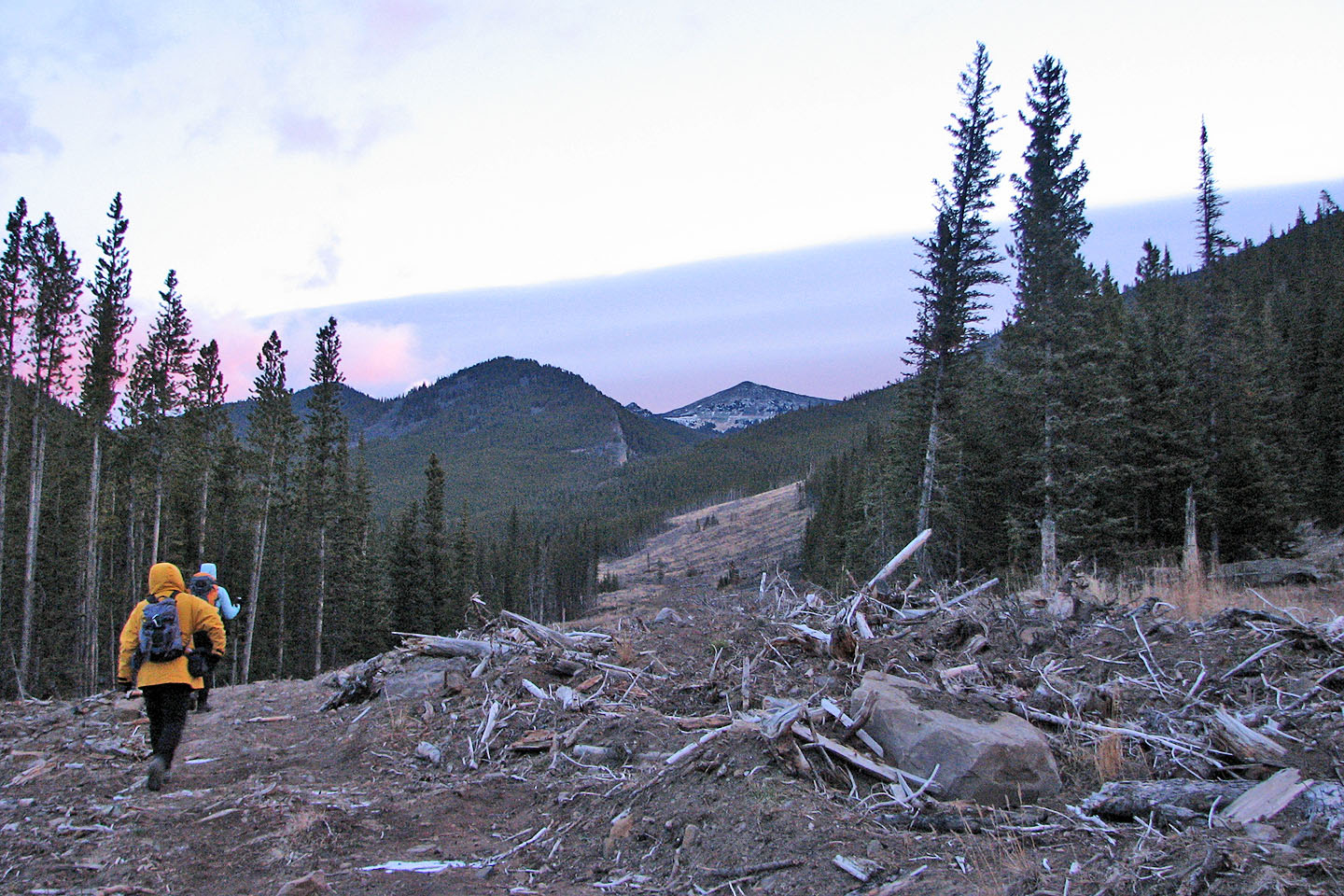
Behind us the colourful sky of an early start
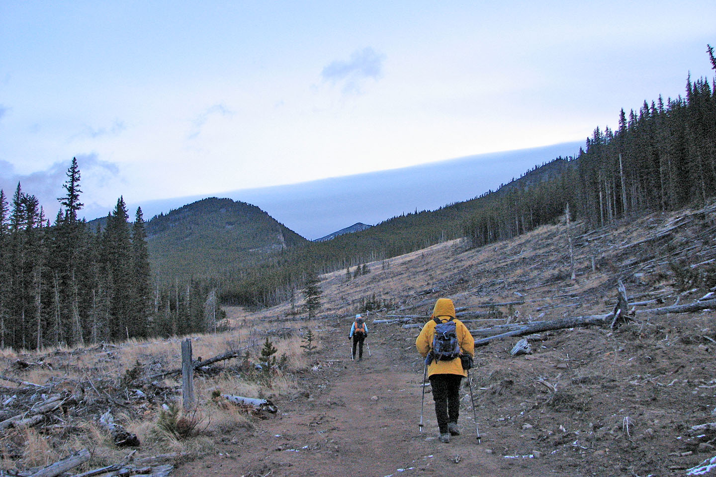
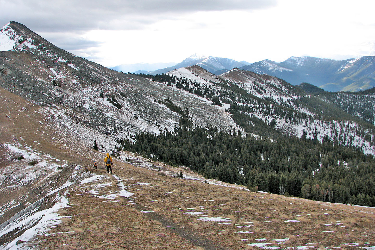
An easy hike so far
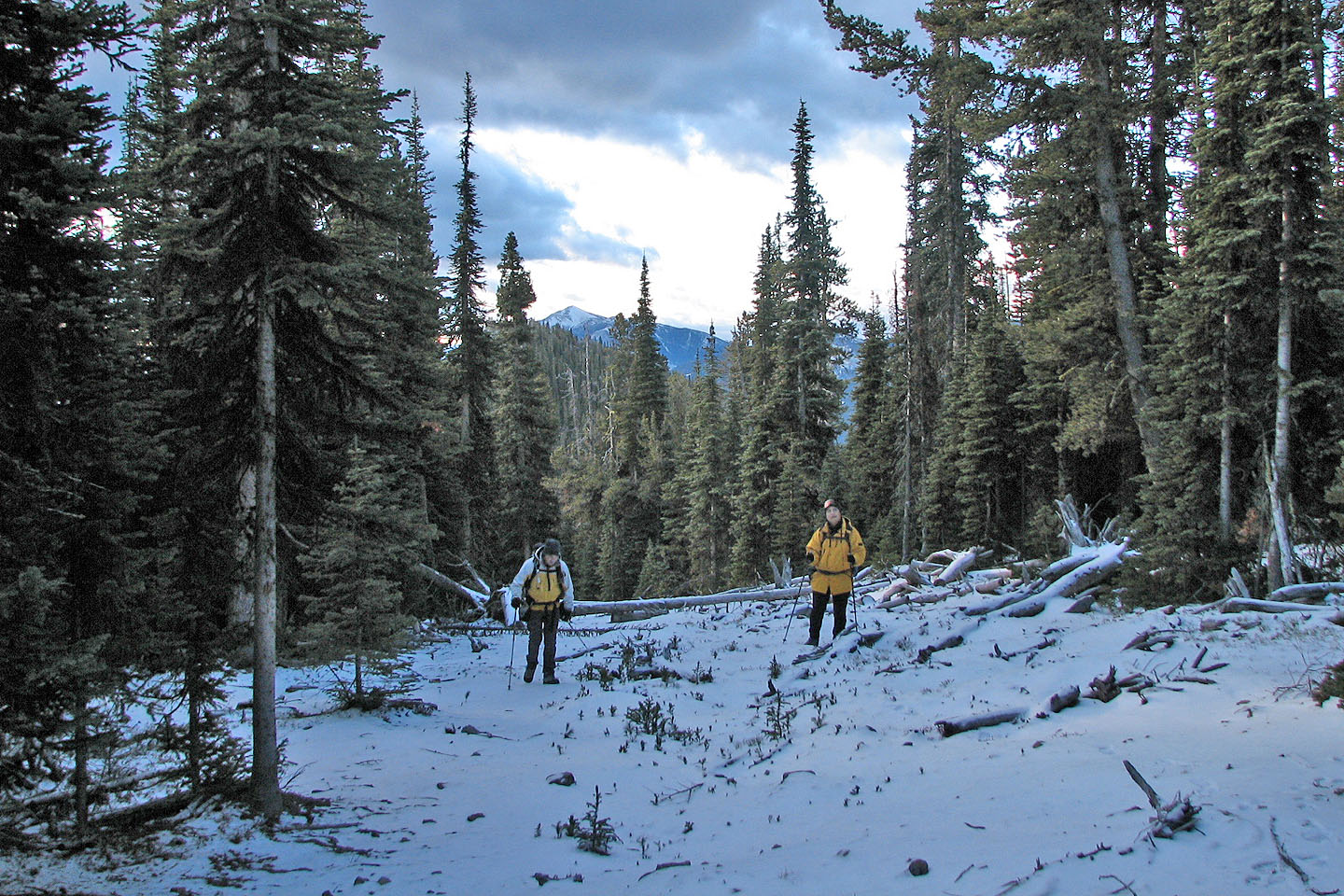
Then high up on the trail, we hit snow
The way was clear but strewn with tree trunks and logs
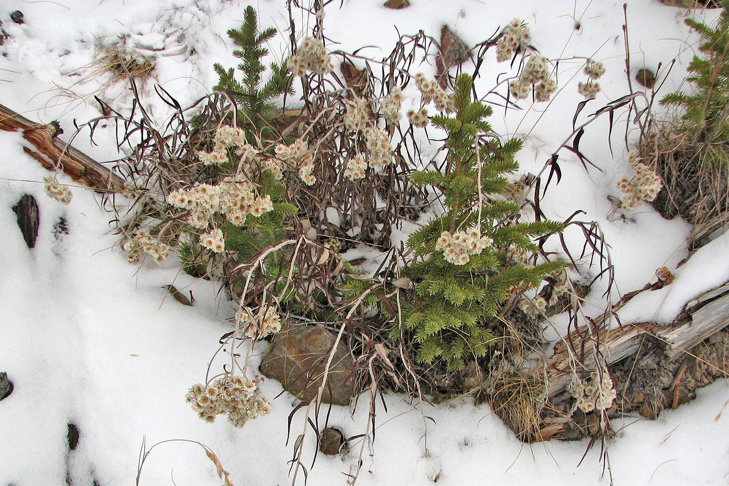
Pearly everlasting flowers keep their looks despite the late season
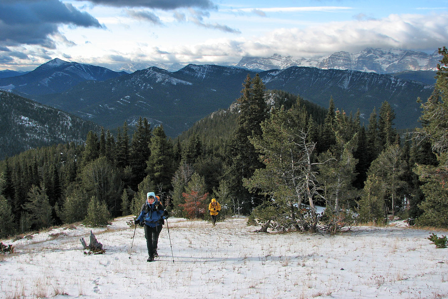
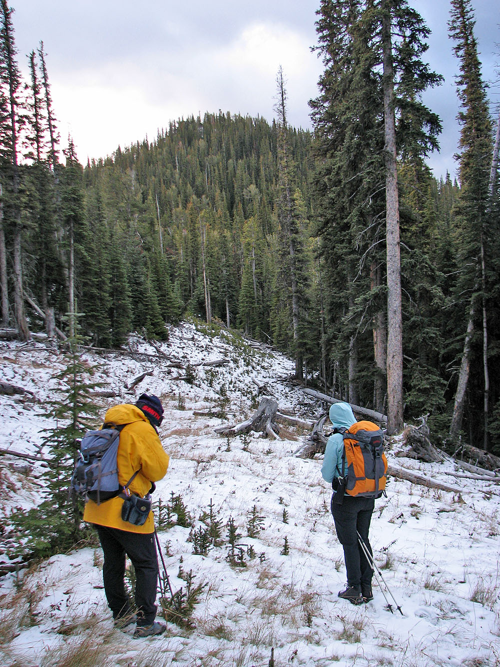
We finally broke free of the trees
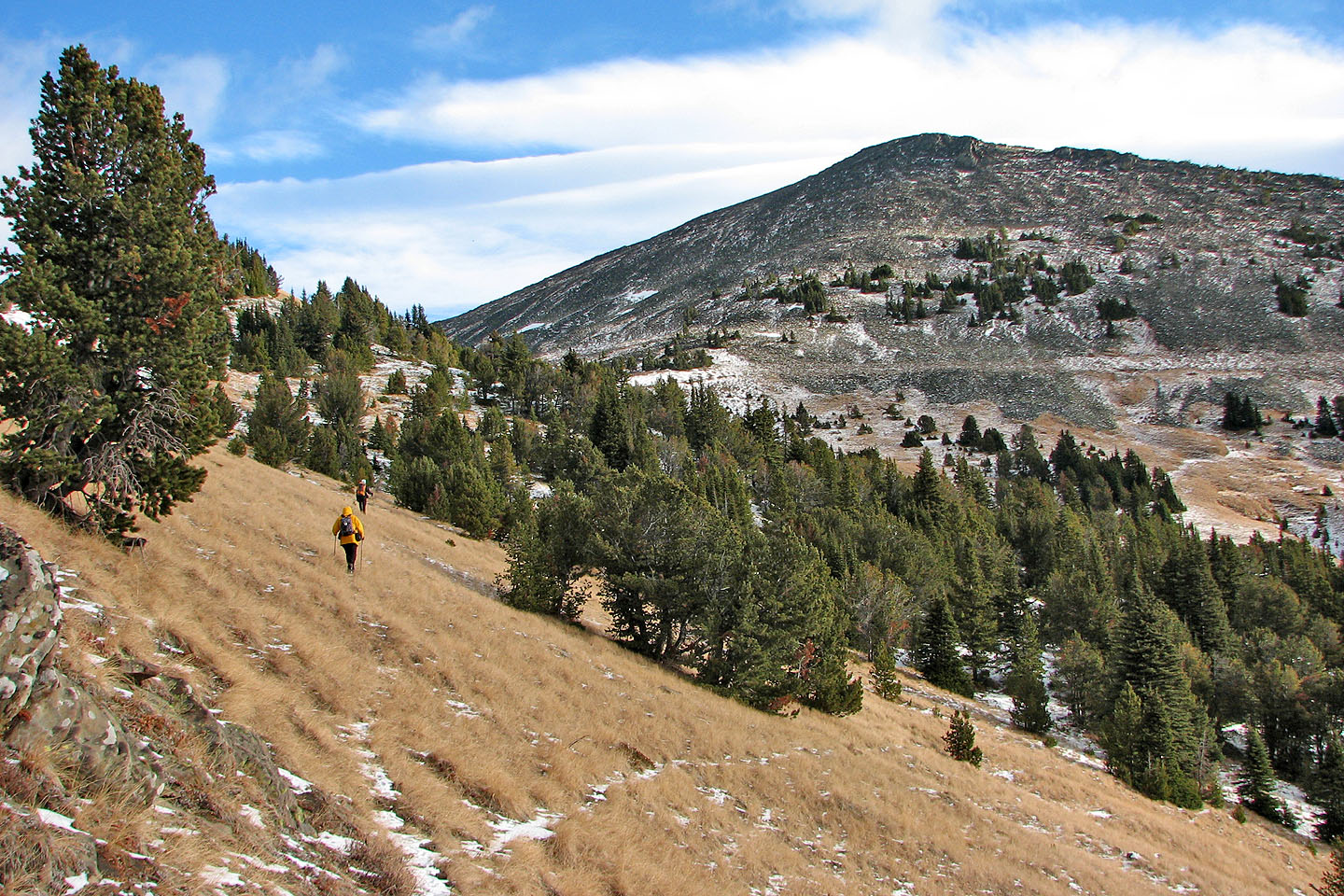
The South Peak
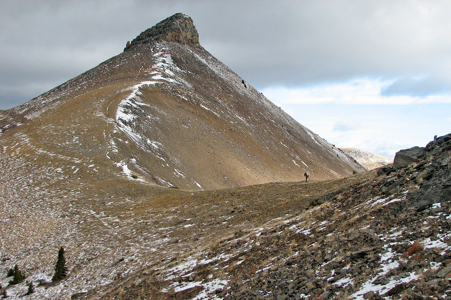
We took advantage of a hillside trail
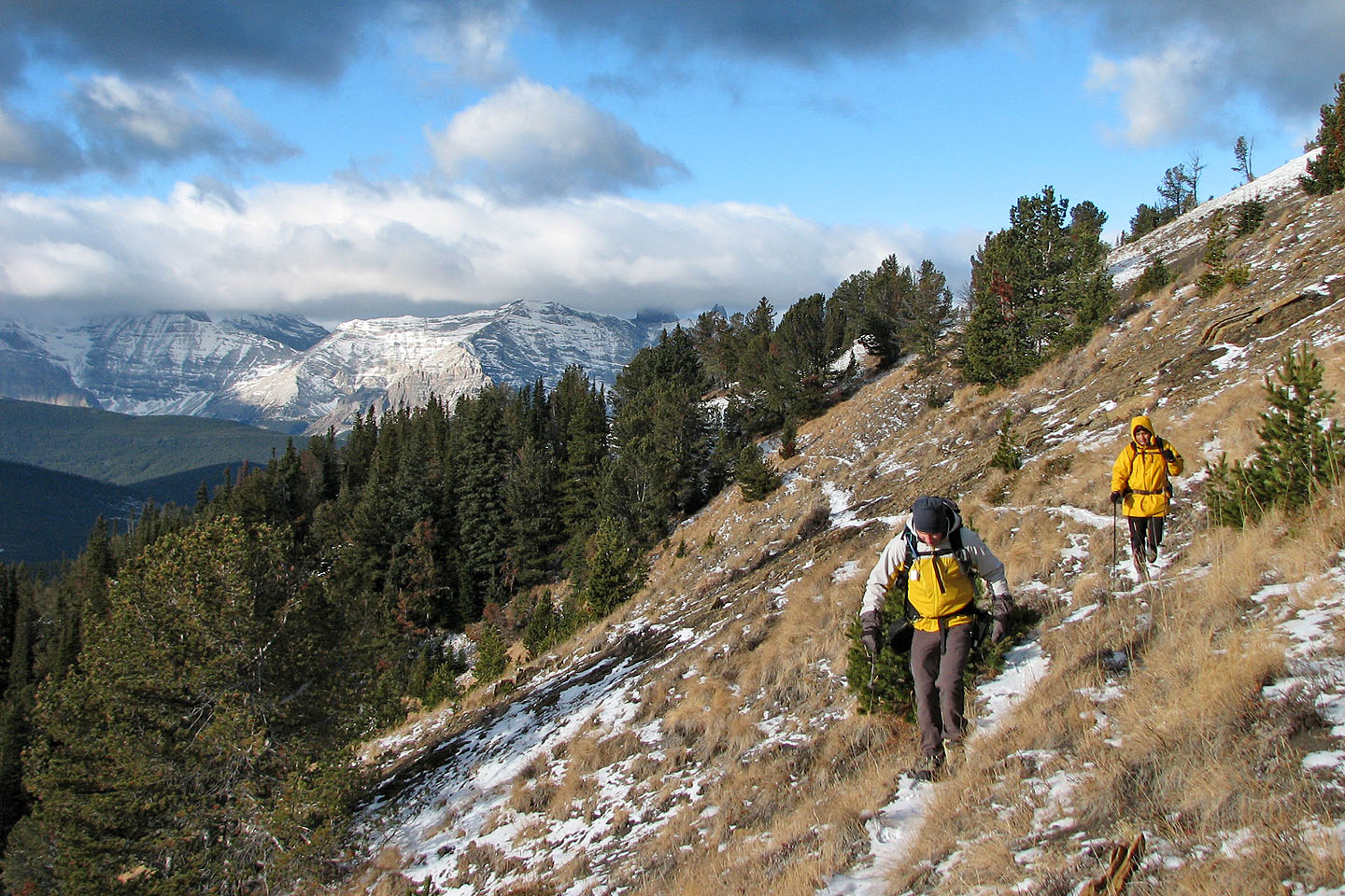
On the ascent, we traversed mid-slope to avoid the wind, but on the return we followed the crest
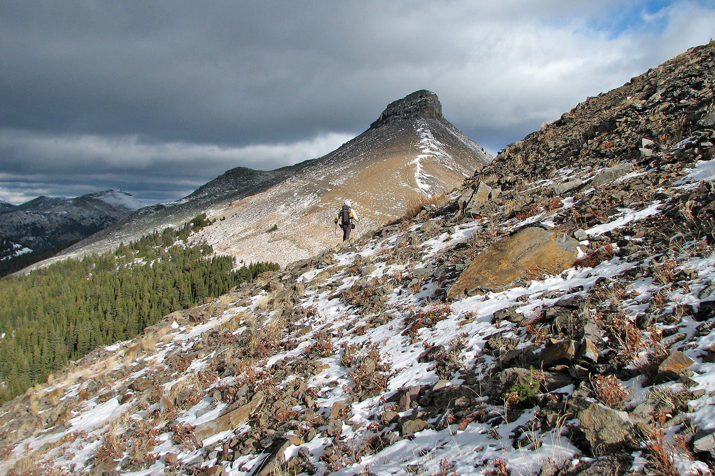
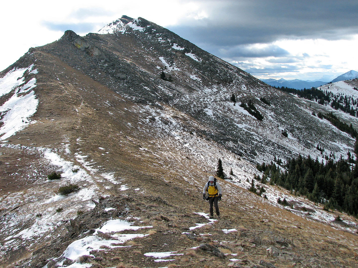
Since we had already climbed the South Peak, Dinah and I headed for the North Peak
I waited for Dinah on the col
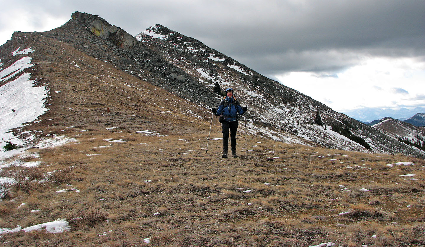
Dinah joins me on the col
Looking back, we saw Sonny on a false summit of the South Peak (mouse over for a close-up)
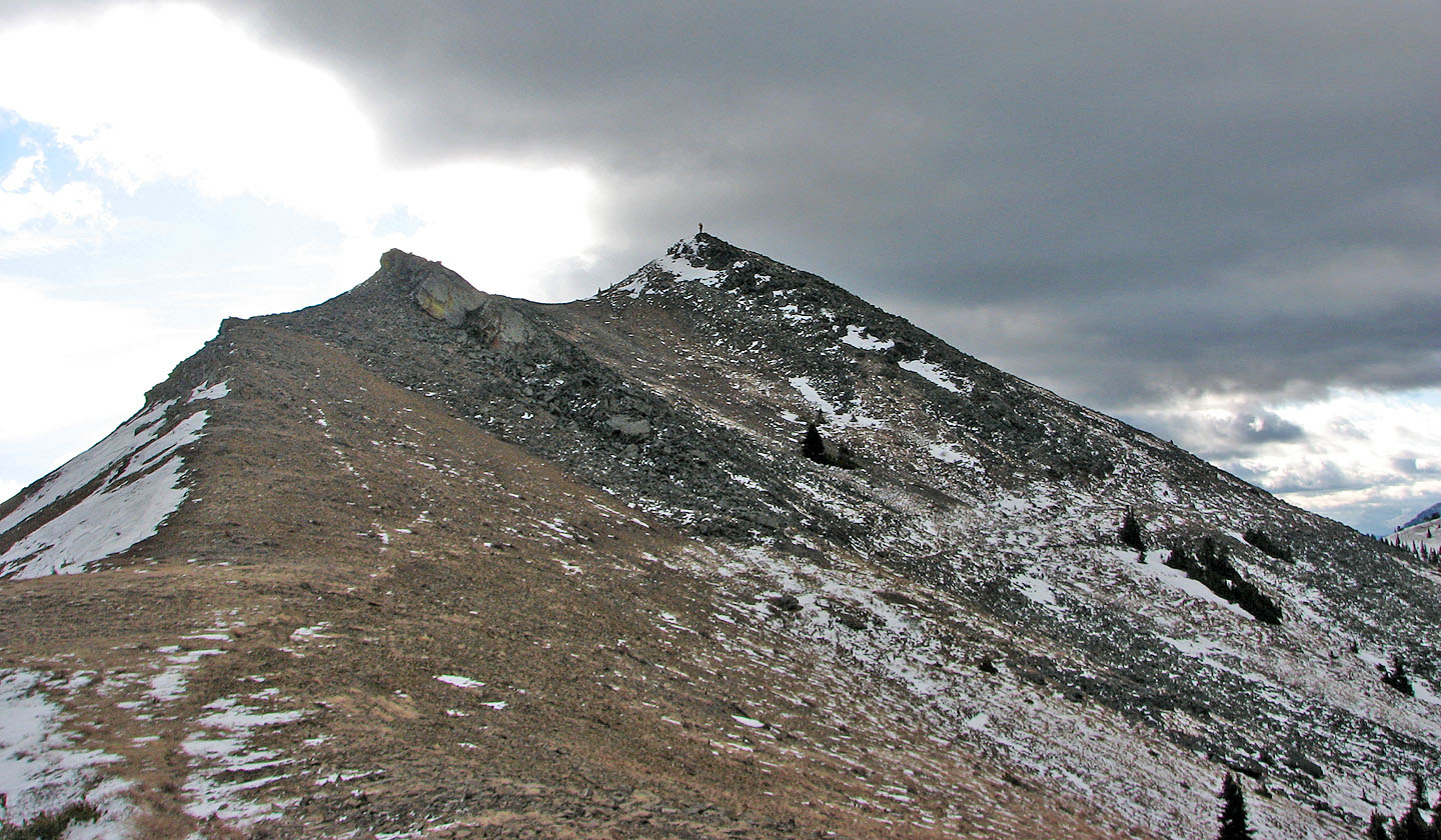
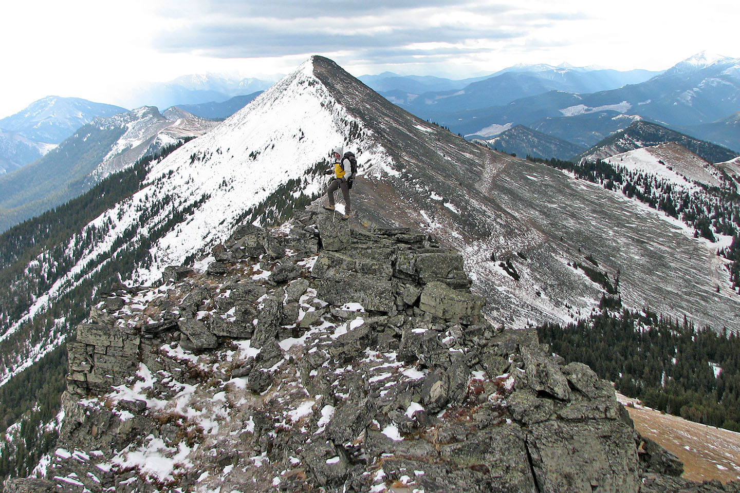
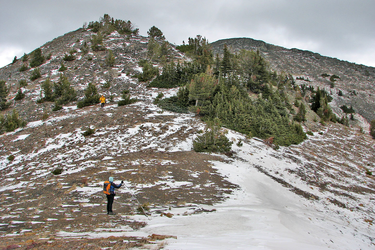
Dinah heads to the North Peak
Looking back
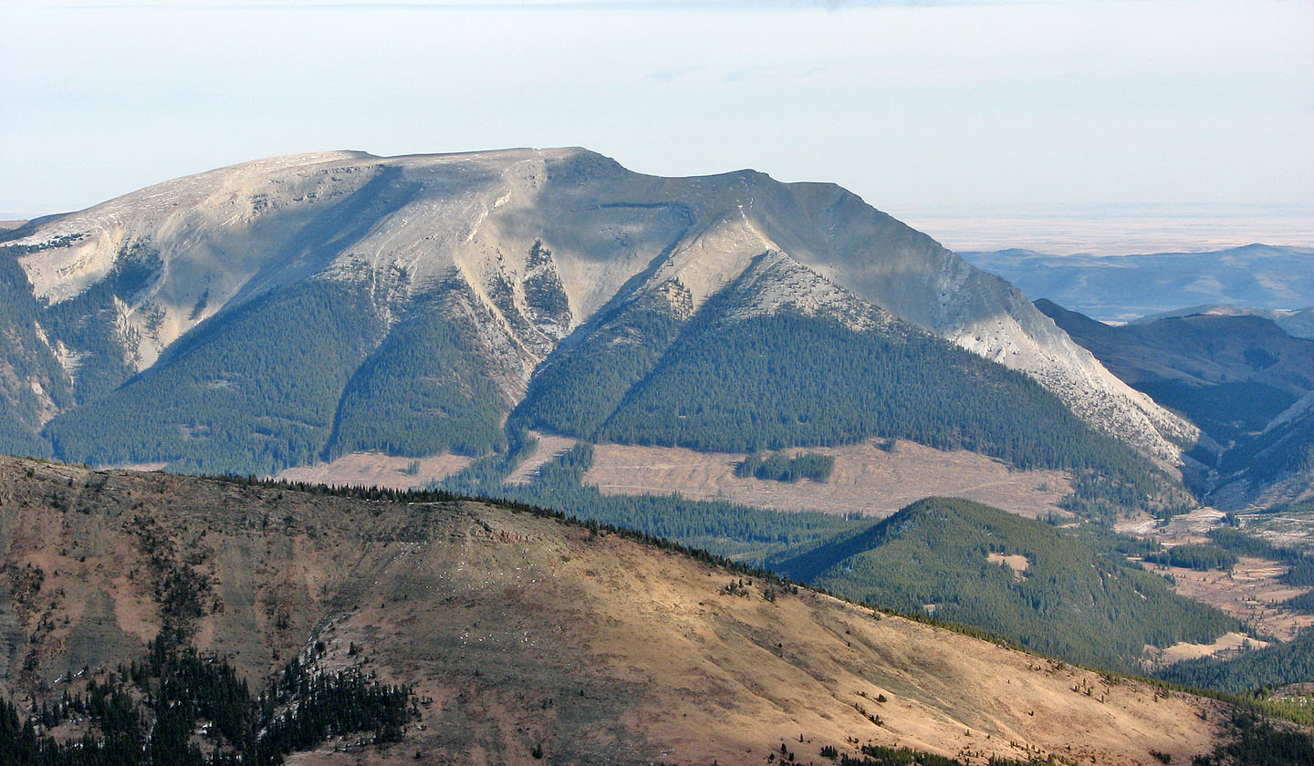
Sugarloaf Lookout (background) always seemed sunlit
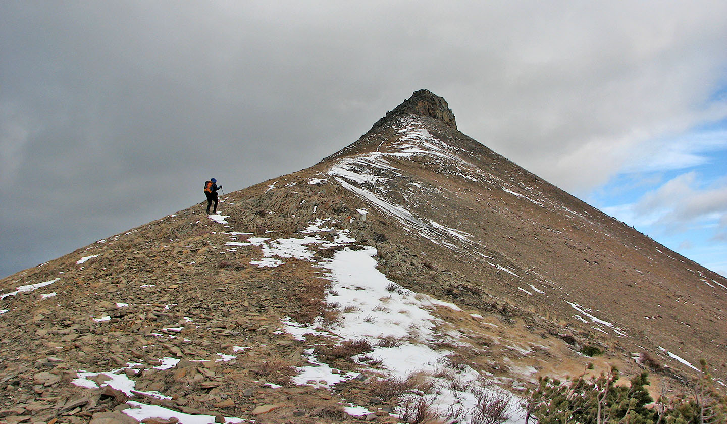
Dinah nears the summit block of the North Peak
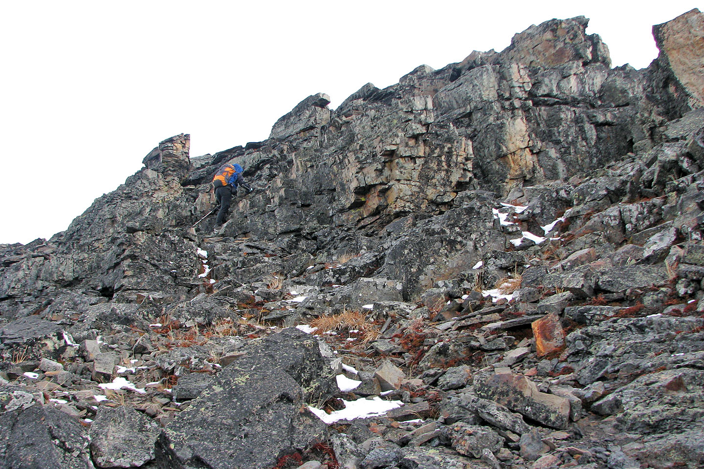
Dinah begins to scramble up
I followed
Sonny wasn't far behind (mouse over for a close-up)
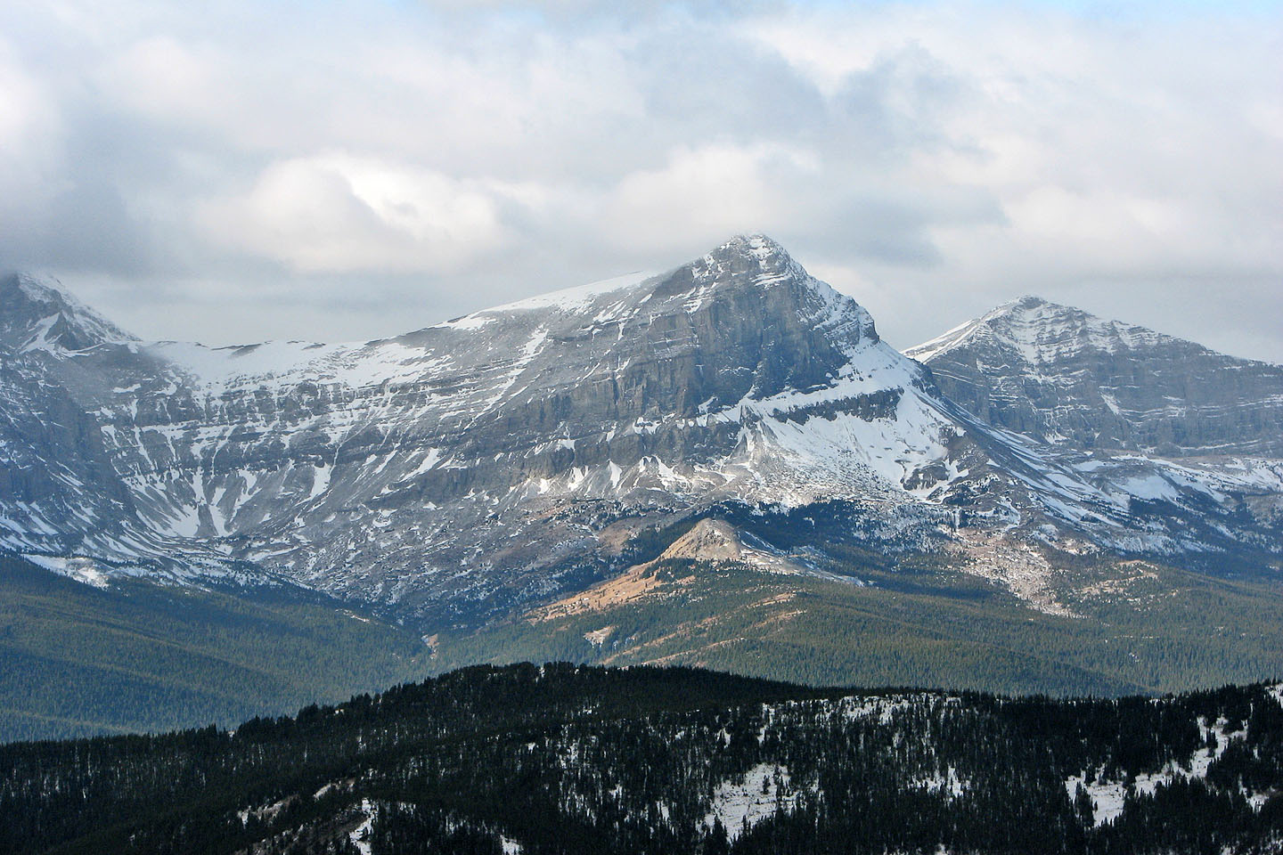
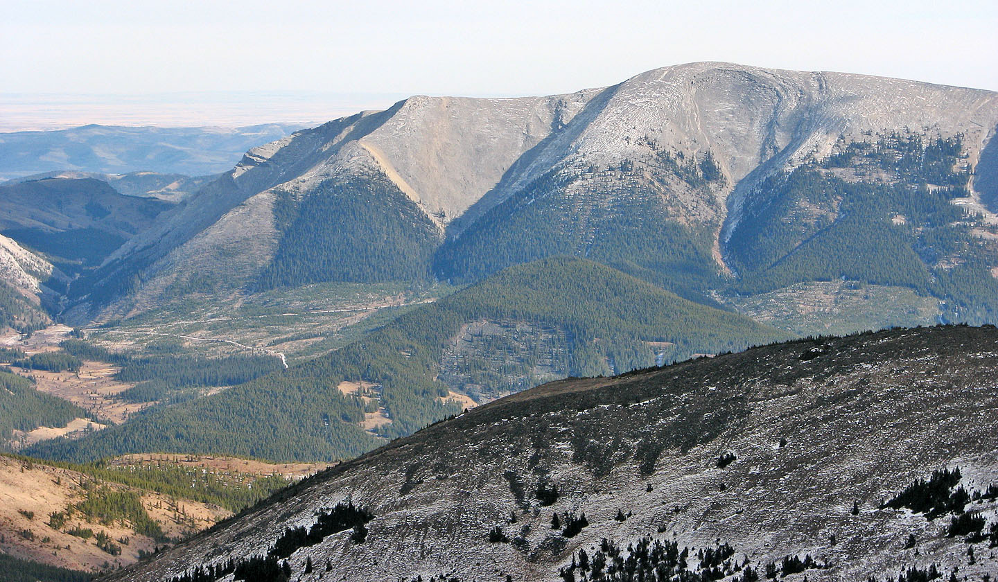
Beehive Mountain
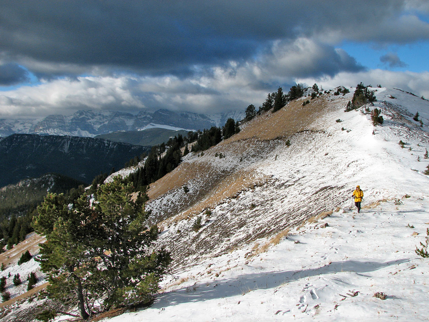
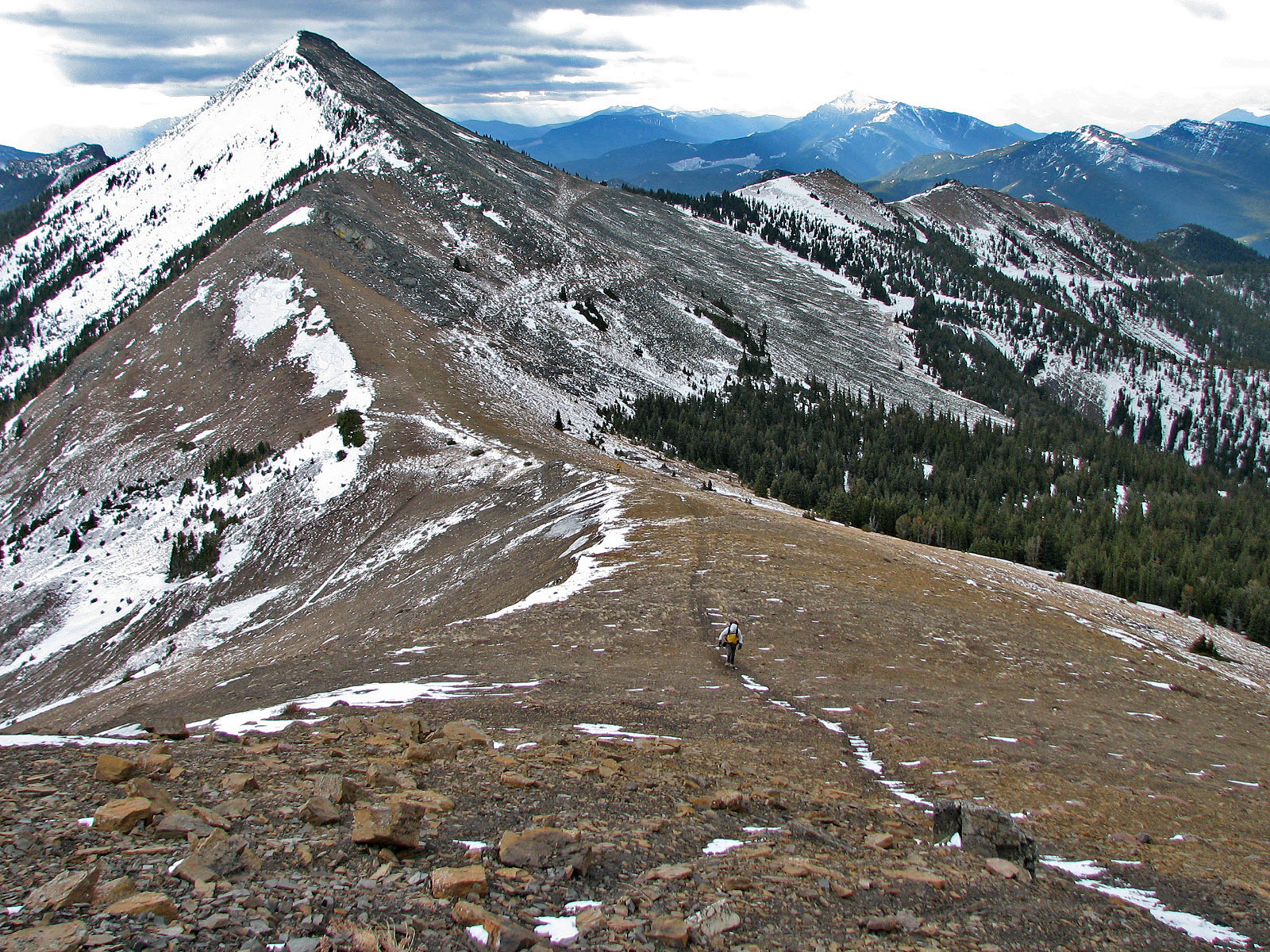
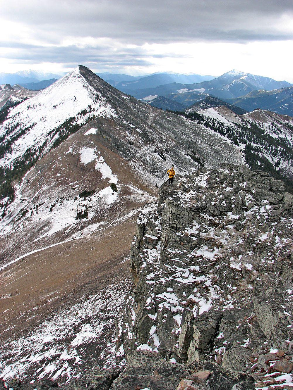
Partway along the summit ridge
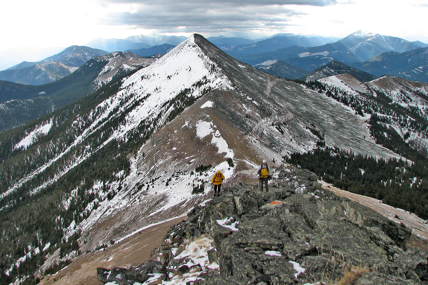
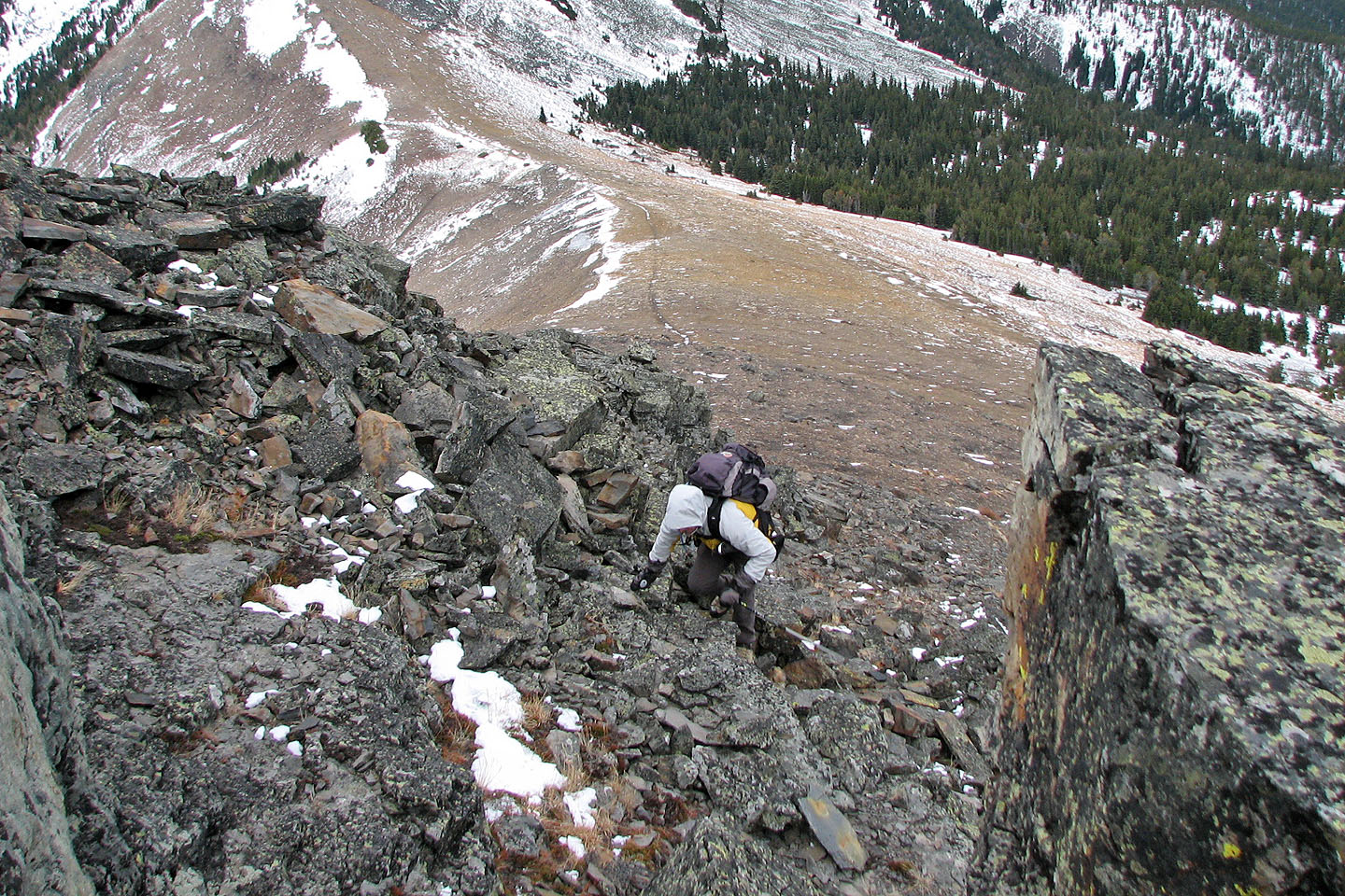
As Dinah waits near the top, Sonny and I come up
Starting down from the summit
On way back we followed connecting ridge crest (centre)
Coming down the end of the connecting ridge
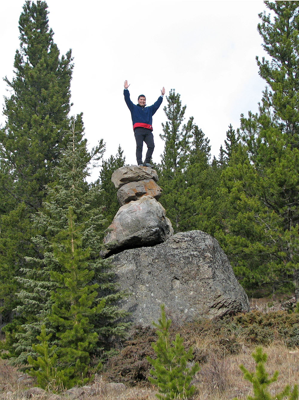
Sonny stands on the enormous cairn near the trailhead
82 J/2 Fording River