bobspirko.ca | Home | Canada Trips | US Trips | Hiking | Snowshoeing | MAP | About

Beach Ridge
Porcupine Hills, Alberta
January 28, 2025
Distance: 6.0 km (3.7 mi)
Cumulative Elevation Gain: 360 m (1181 ft)
We picked a beautiful day to go to The Beach. The sun was shining and the temperature was above normal. But we didn't bring swimsuits. The Beach is a sandstone crag, an area renowned for bouldering (I found it on Google Earth). It offers dozens of boulders to climb starting at class 5.1. I don't do bouldering, but I wanted to climb the unnamed ridge above The Beach. Doug and his friend Becky joined me, although after hiking for an hour, Doug wasn't feeling well and turned around.
We parked off of Highway 22 next to a cattle pen. After going through a gate, we walked 600 m south across a snow-covered meadow to a gully in the forest. Much of the gully was under deep snow, so we often kept to the sides which held little or no snow. Doug started off well, but when the grade steepened, he suddenly faltered. He stopped but insisted Becky and I continue. He relaxed in the sun before turning back.
Becky and I soon emerged from the forest onto a grassy slope. We headed to a huge boulder called Almost There and climbed it. We didn't attempt the bouldering routes but easily climbed the backside.
Almost There is almost on the ridge. We continued up the open slope to the ridgetop. A fence runs along the ridge, but farther up, a sandstone cliff rises above the treetops. After passing through a light forest, we reached the base of the cliff and easily scrambled up.
The clifftop offered far-ranging views, and we spent several minutes looking around. In the forest below, we could see some of the climbing boulders, but we weren't interested in them. We continued up the ridge through thin trees. Soon we were on a half-bare summit. We texted Doug and learned he was back at the car and doing well.
After a break, Becky and I started back down. We stopped again on the clifftop, relishing the expansive views, before looking for a way to bypass the cliff. Sure enough, 100 m from the cliff, we found a good trail and followed it back to the cliff base. We continued down, mostly retracing our steps back, but skipped revisiting Almost There. We returned to the car to find Doug had taken a nap and had recovered from what ailed him.
I plan to return to The Beach in the spring and perhaps wander through the boulders below the ridge. Right now with the snow, it wasn't a good time to explore the rocky terrain.
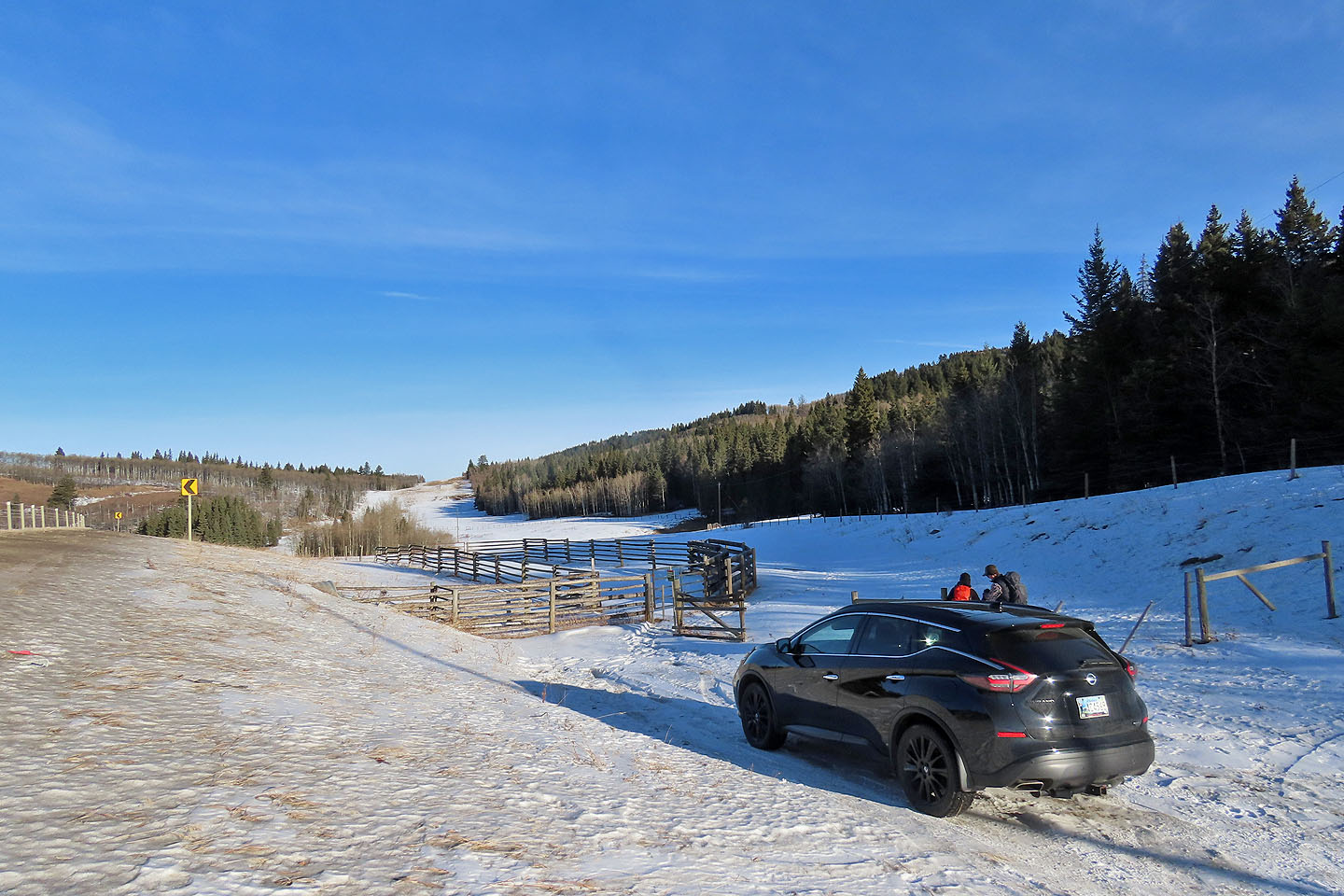 Starting at the trailhead
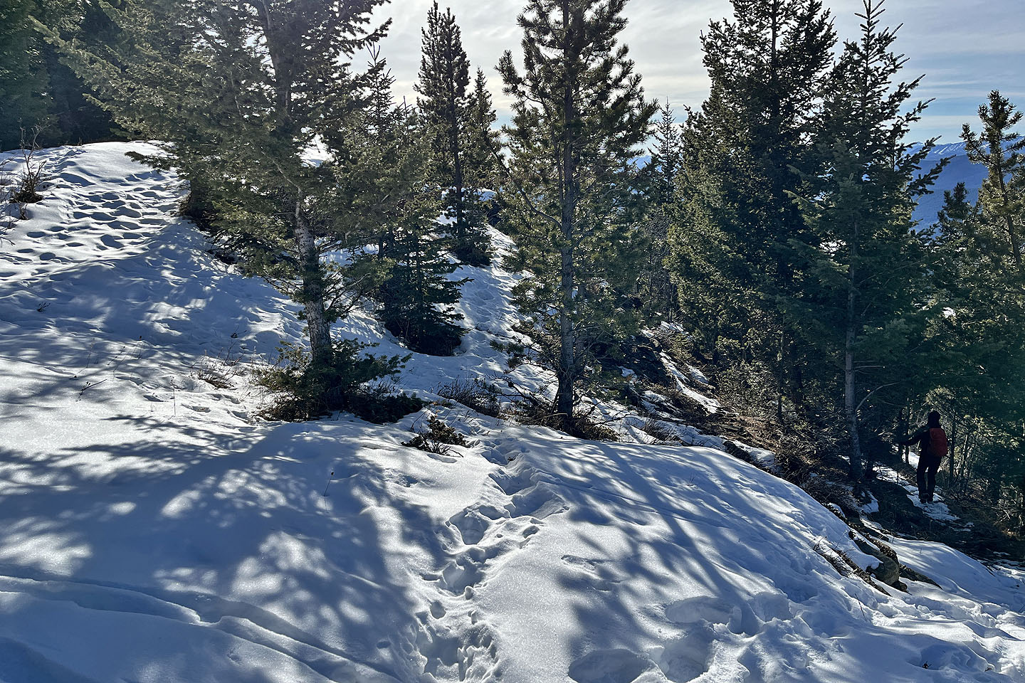
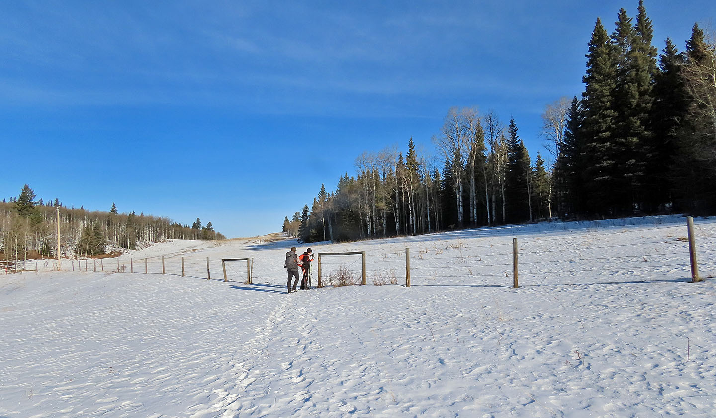 The gully is 230 m after the second gate
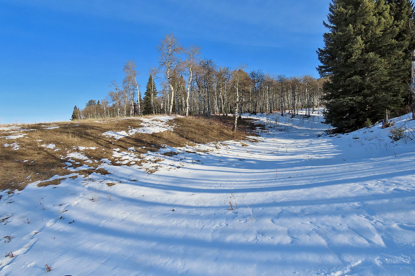 Start of the gully
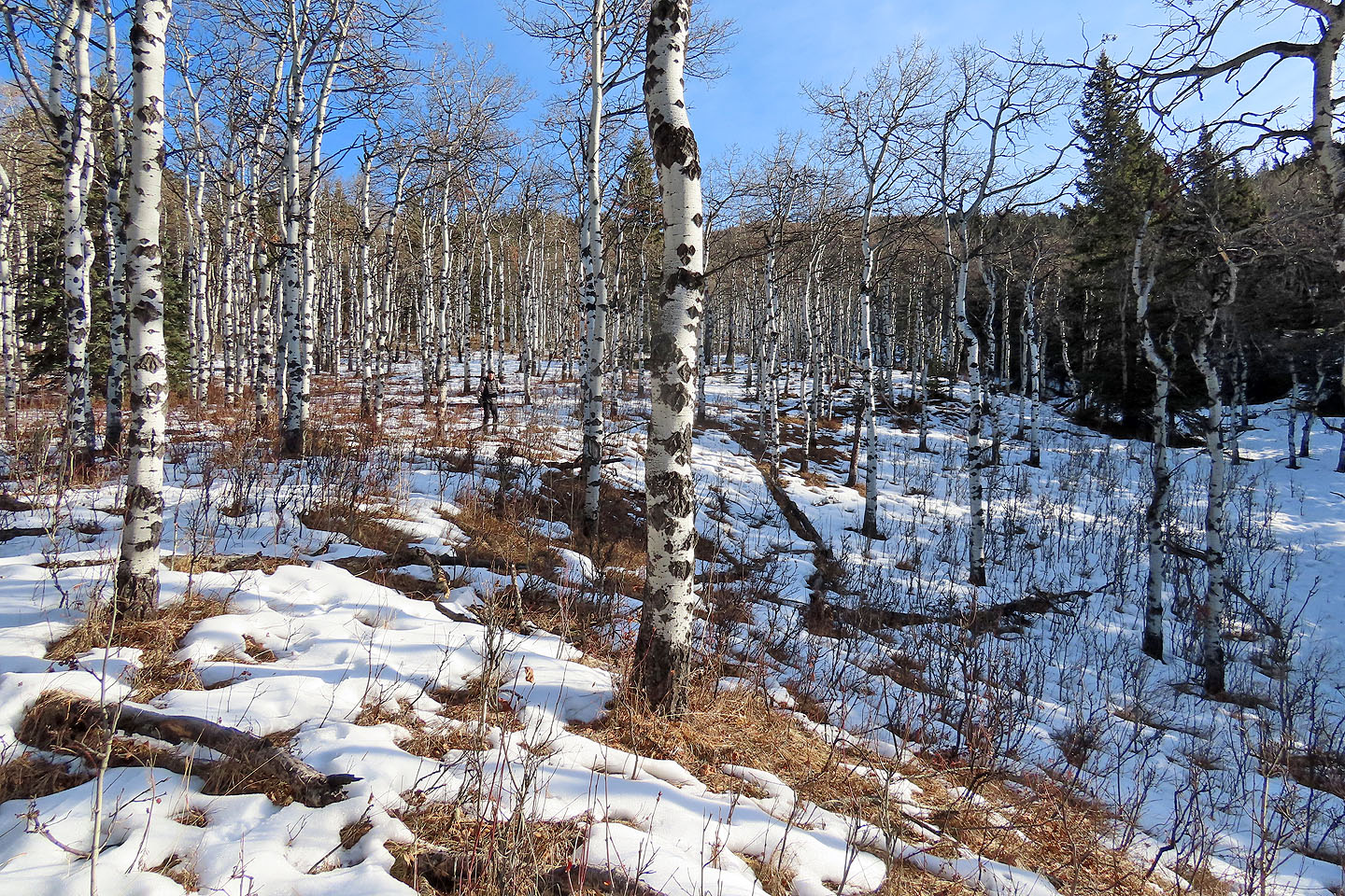 We started up the left side of the gully. Doug is left of centre.
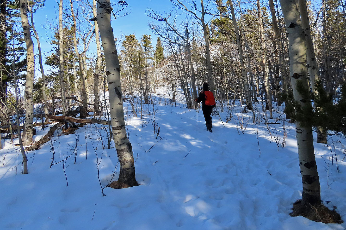
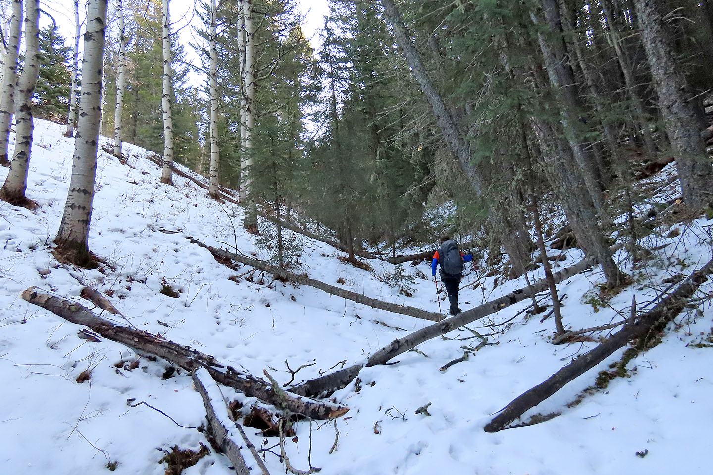 Sometimes it was easier to hike in the gully
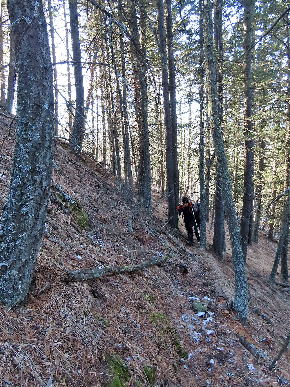
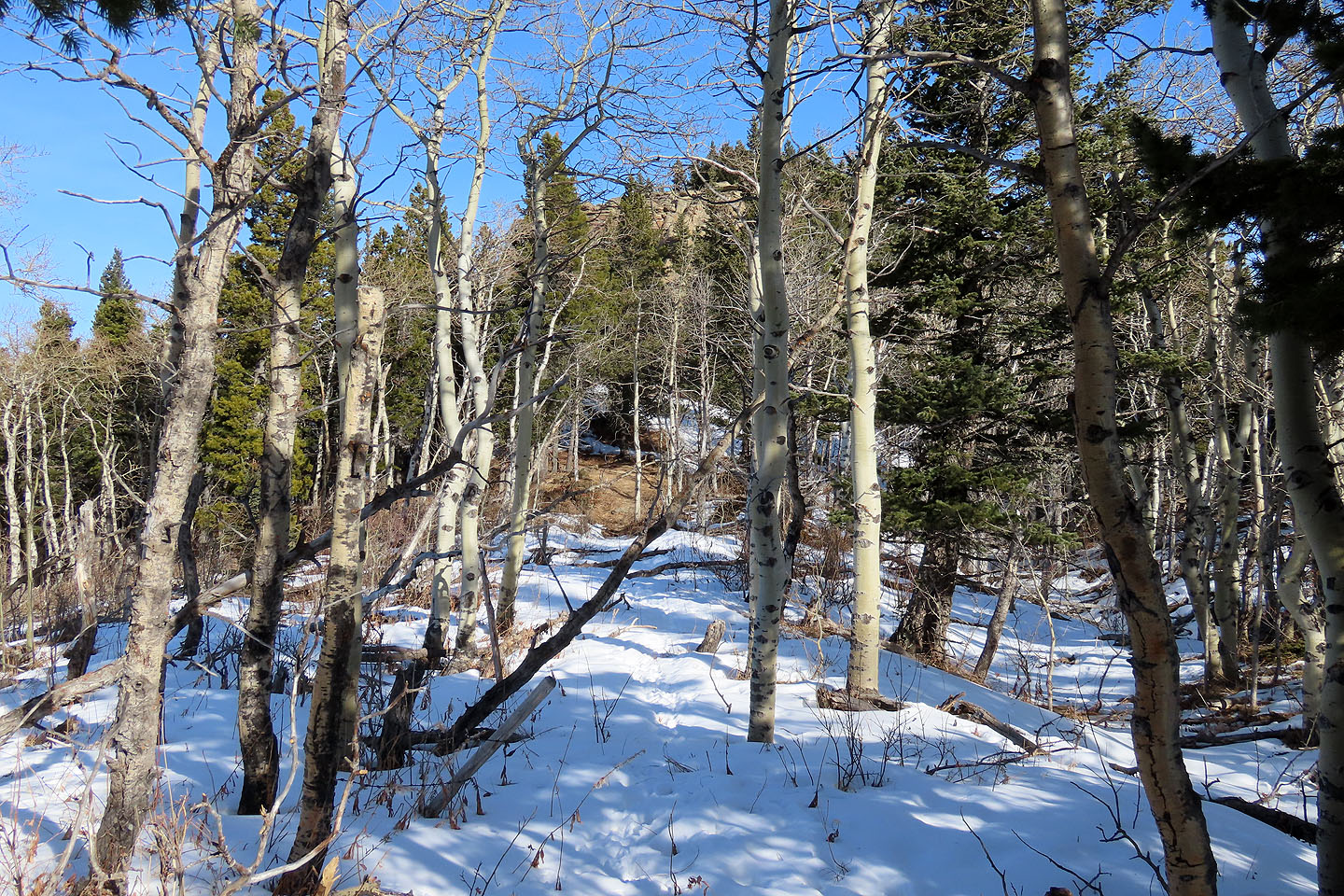
 For the upper part of the gully, we kept to the right side
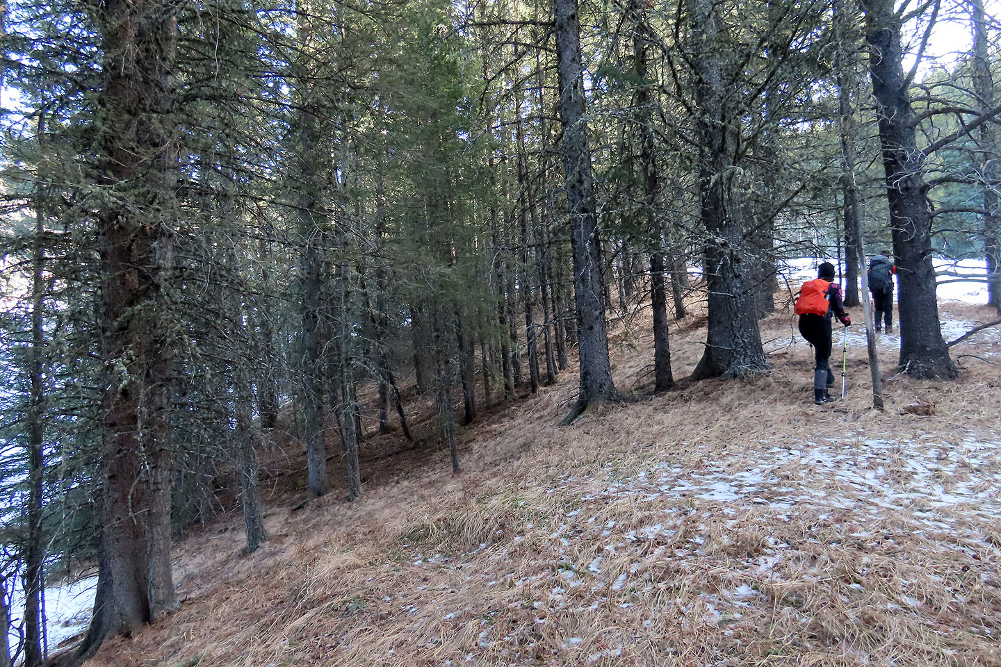
We took advantage of trails
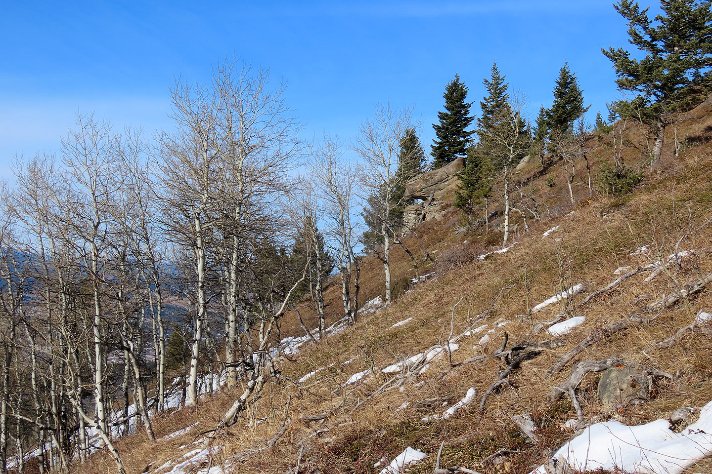 After emerging from the trees, we headed to a boulder named Almost There
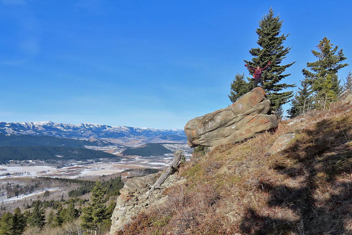 Becky climbed the boulder
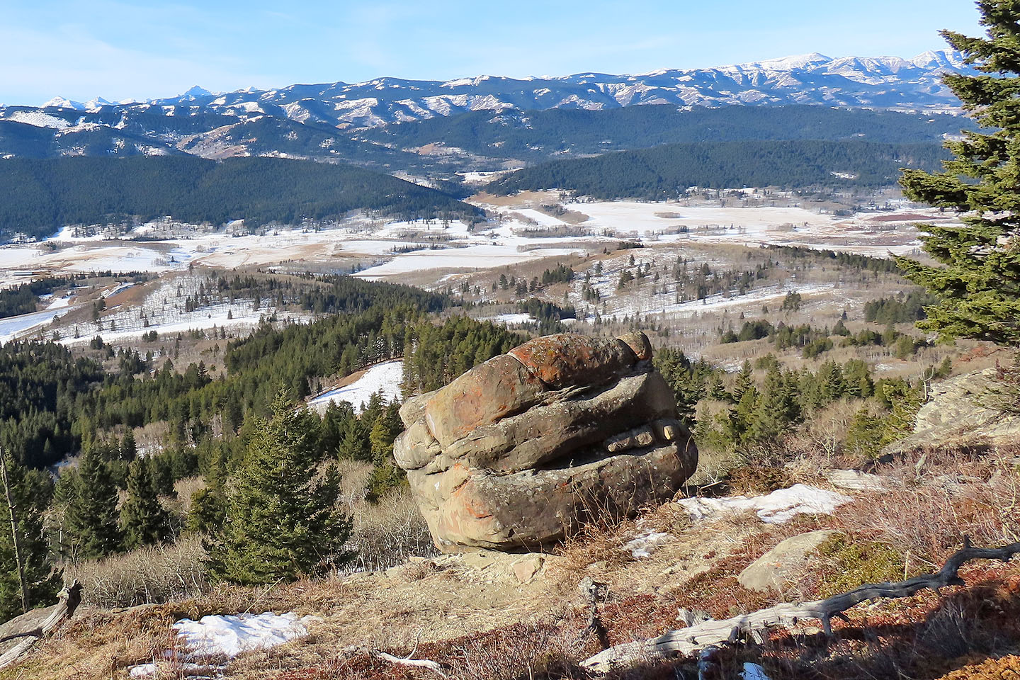 The backside of Almost There offers ledges to climb up. Mouse over to see the bouldering routes: Outpost (1) and Open Project (2).
 Looking south at Adair Ridge (mouse over for a close-up)
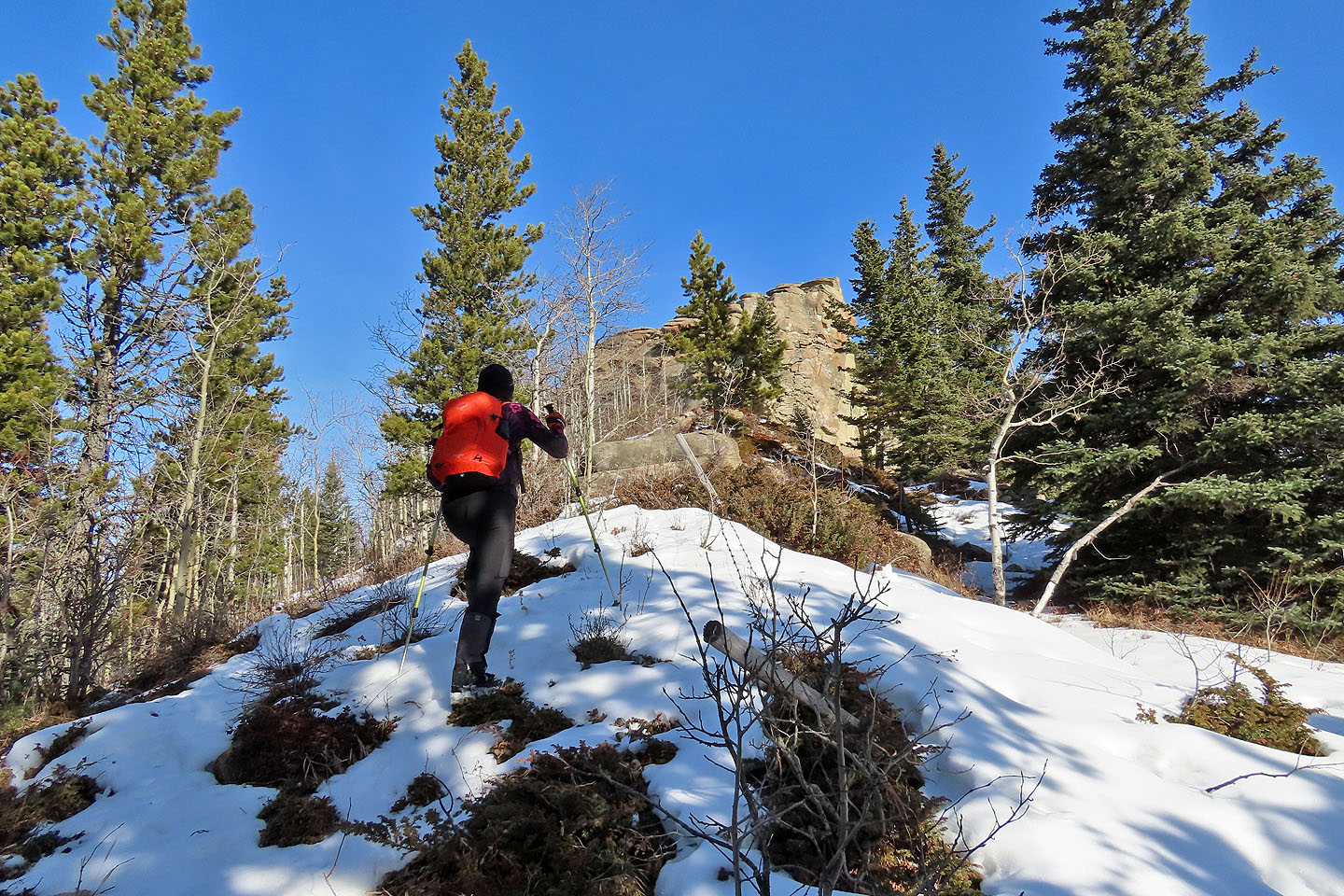
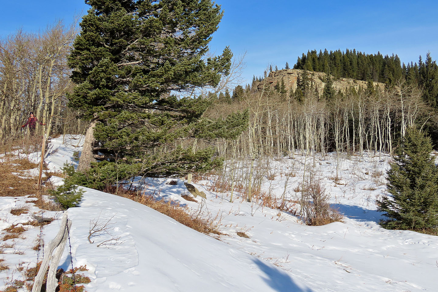 We continued north to the cliff
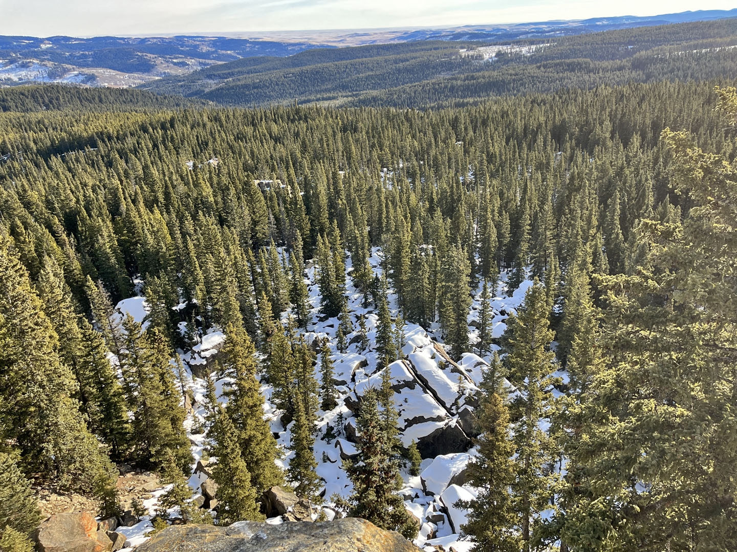
 We made our way through light forest to the cliff base
 Approaching the cliff
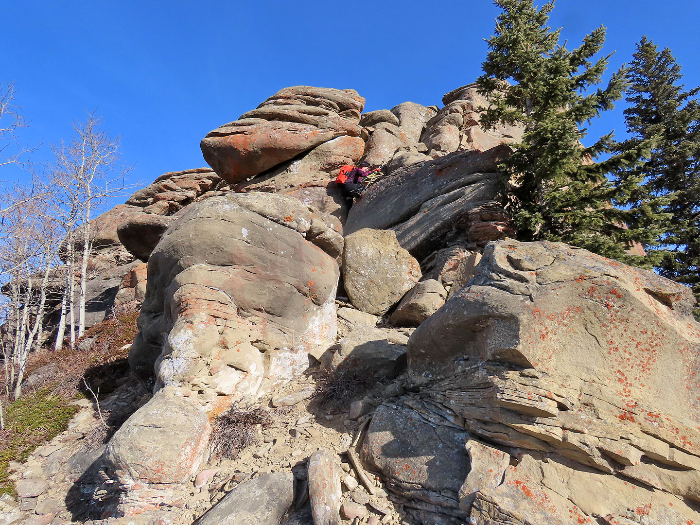 We scrambled up the sandstone rock
 Becky stands on the edge of the cliff
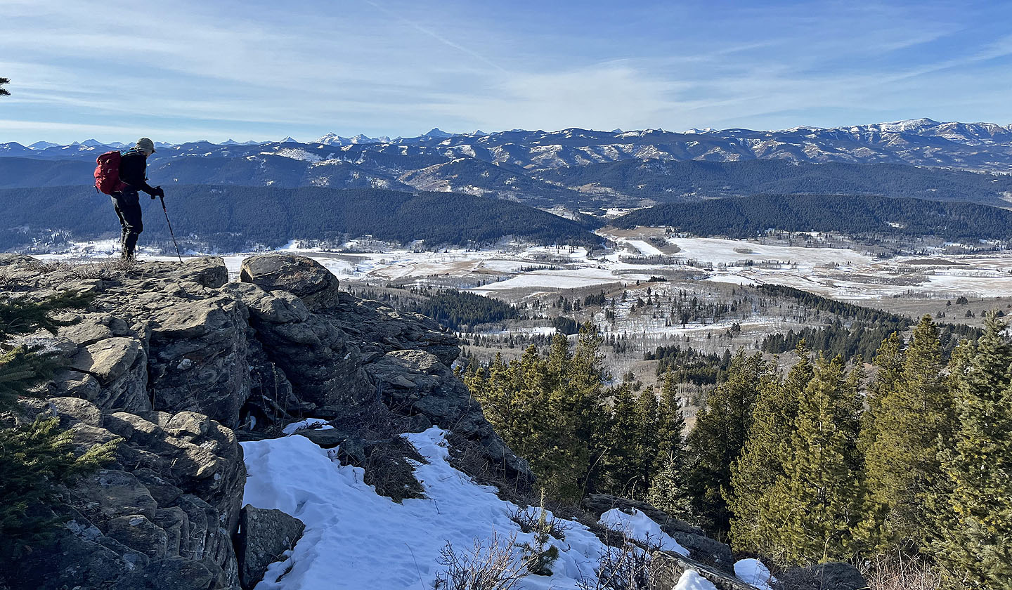 Impressive views from the clifftop
 The Beach comprises several bouldering sectors. Below is Cliffside (mouse over to view map).
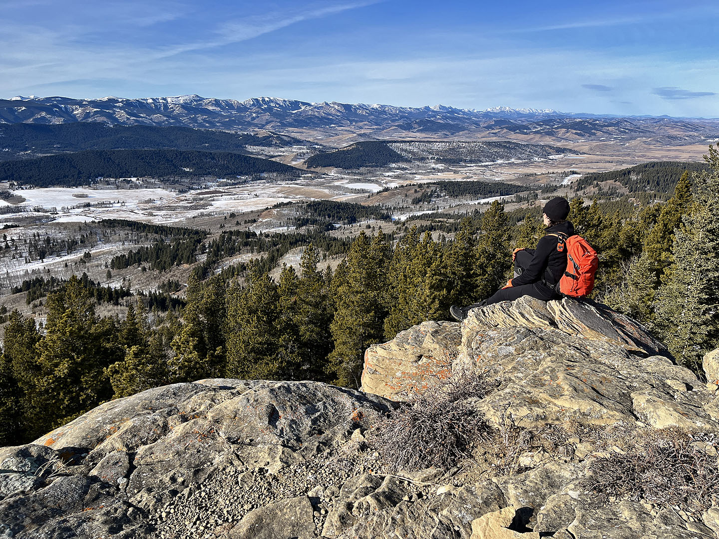 Becky relaxes on The Beach
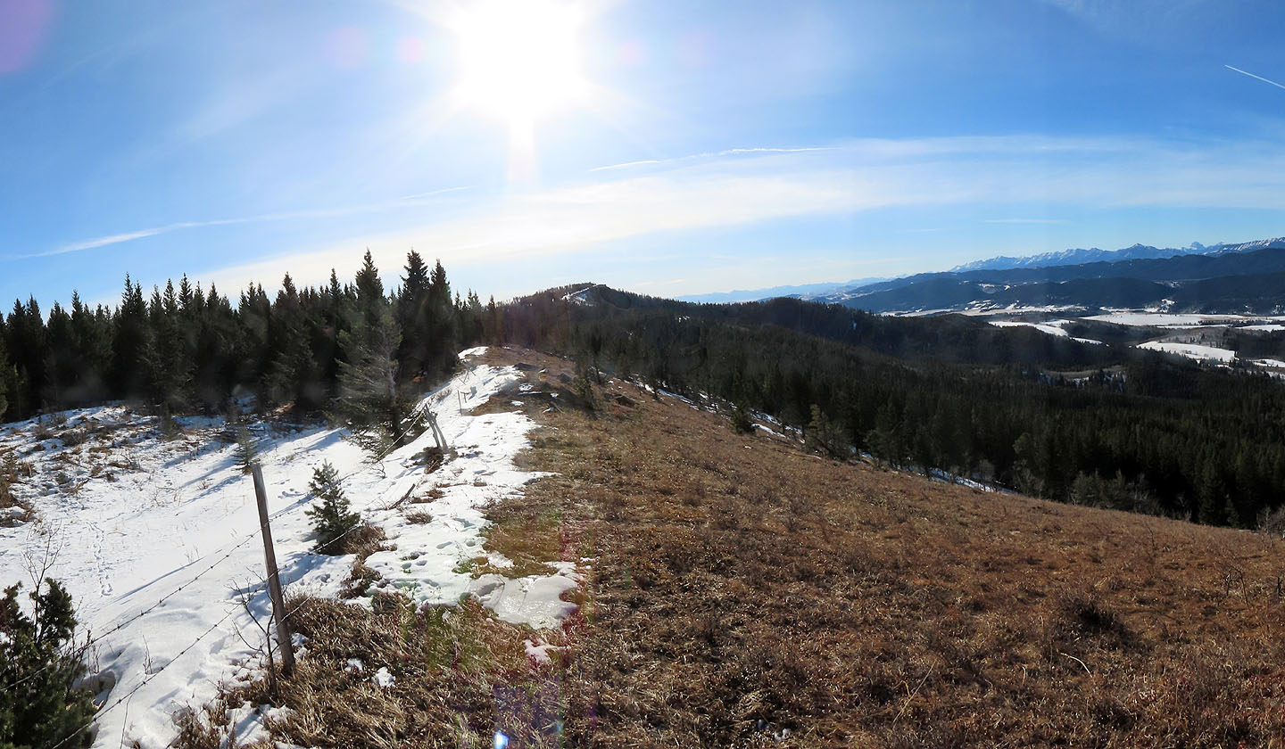
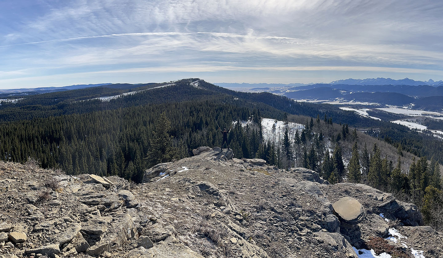
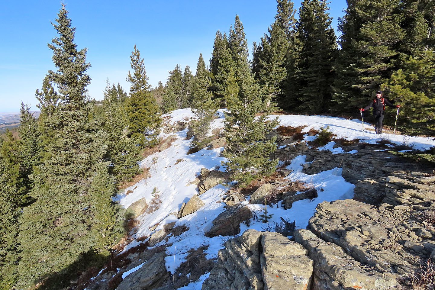 We continued up the ridge to the summit
 Heading to the summit
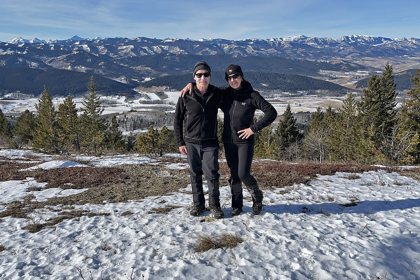 Me and Becky on the top
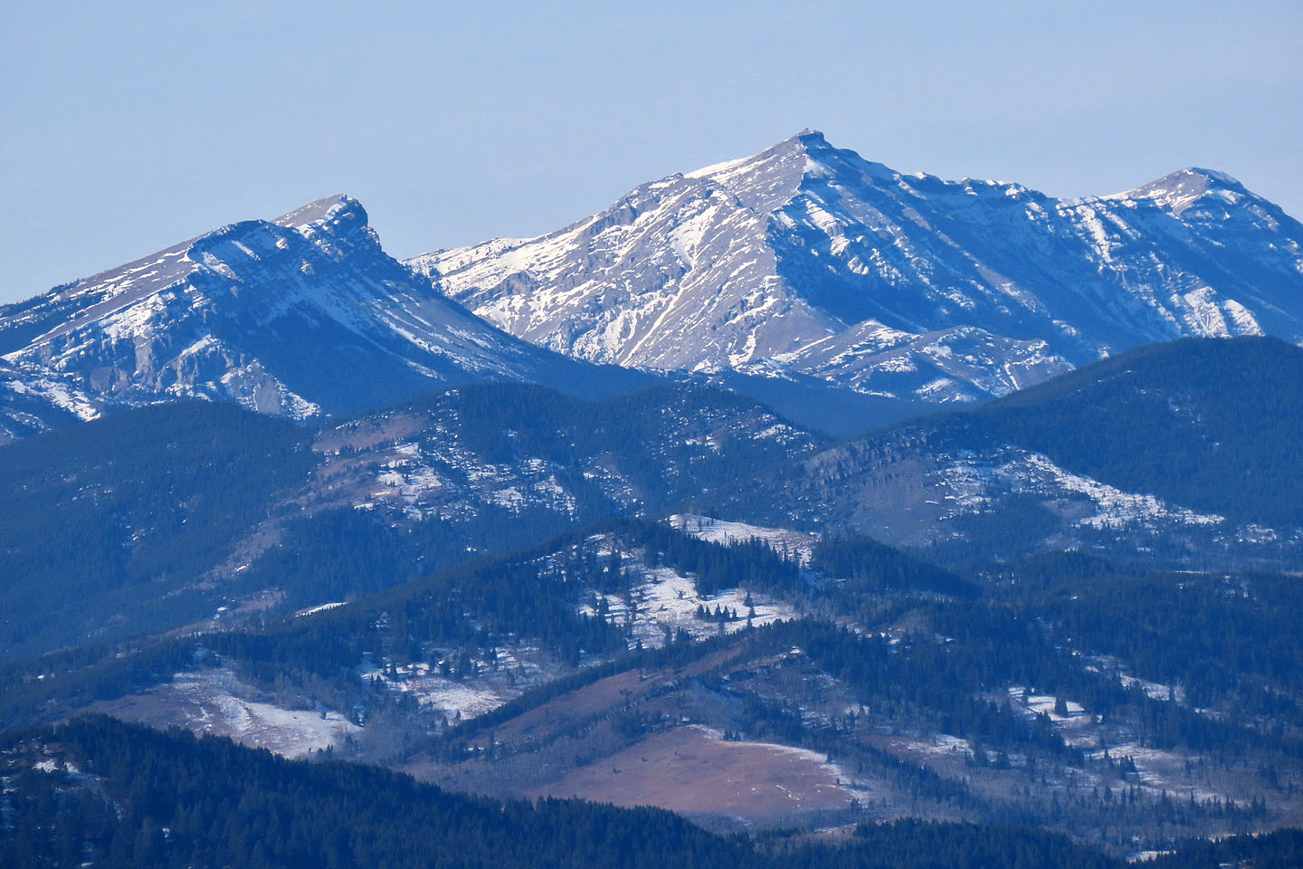 Sentinel Peak, Mount Burke and Burke North Peak
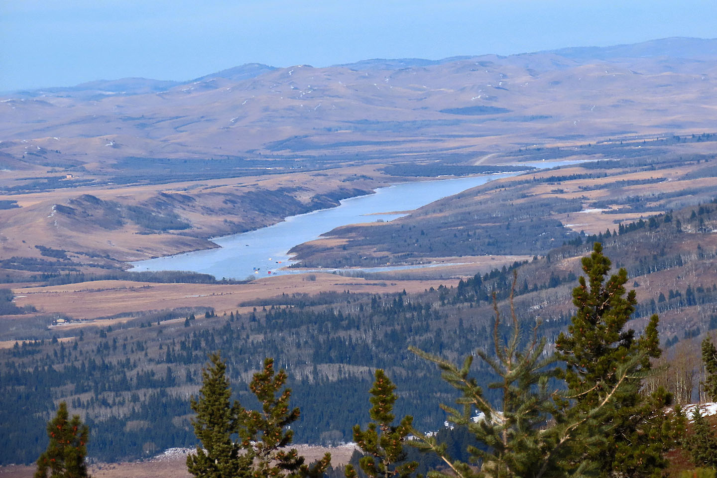 Chain Lakes
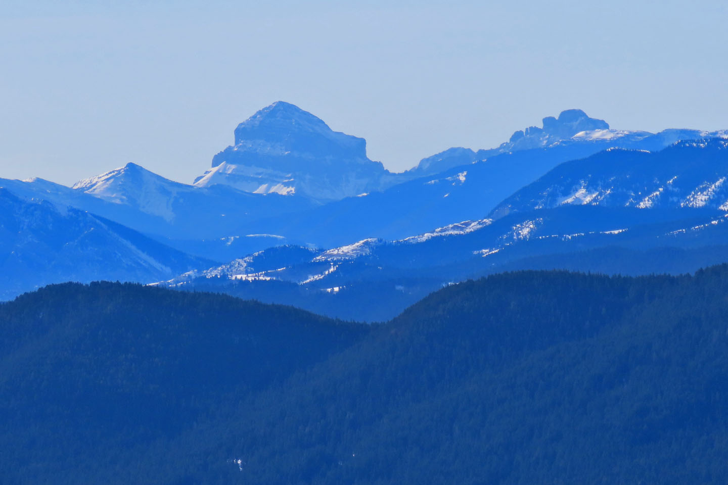 Ma Butte, Crowsnest Mountain and Seven Sisters Mountain
 On the way down, Becky (far right) follows the trail bypassing the cliffs
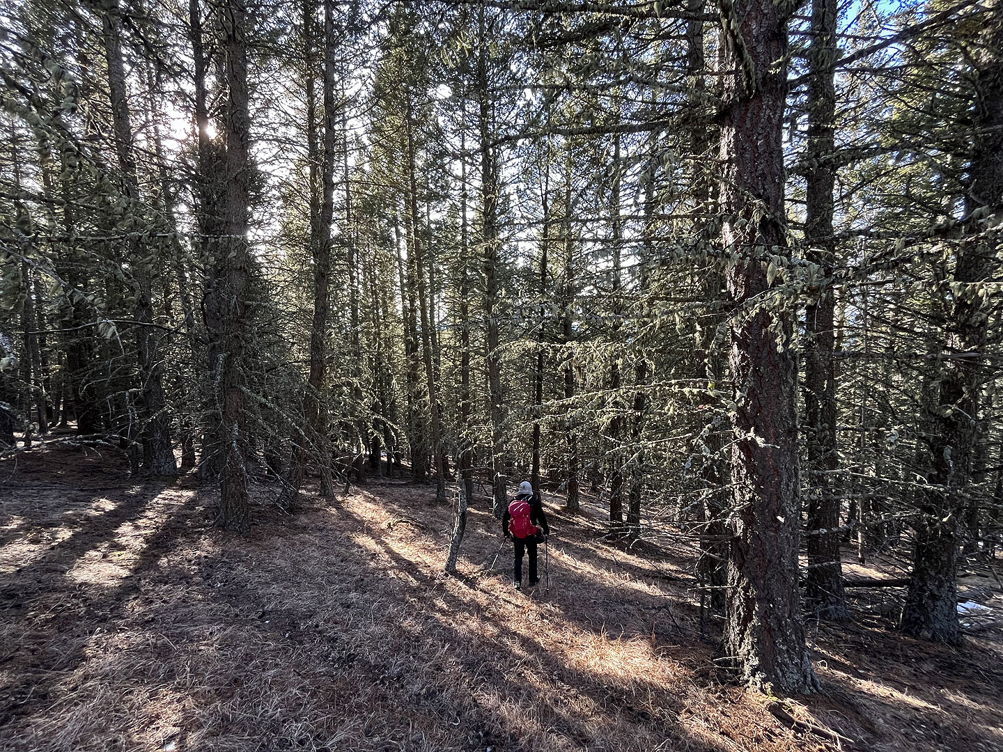 Back in the trees, heading down to the gully
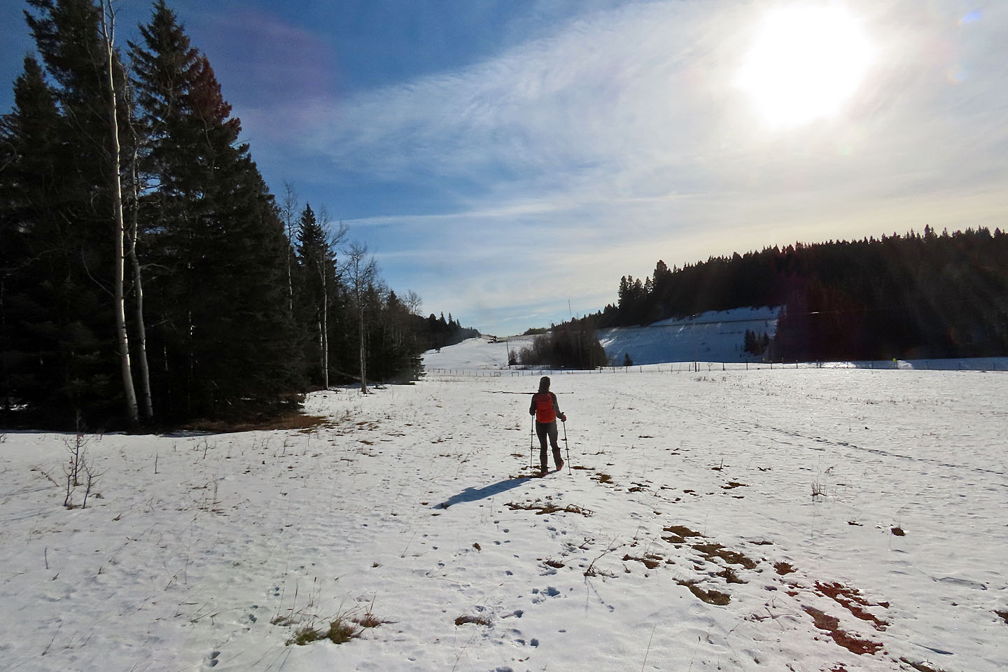 After leaving the gully, we walked back to the car (centre)
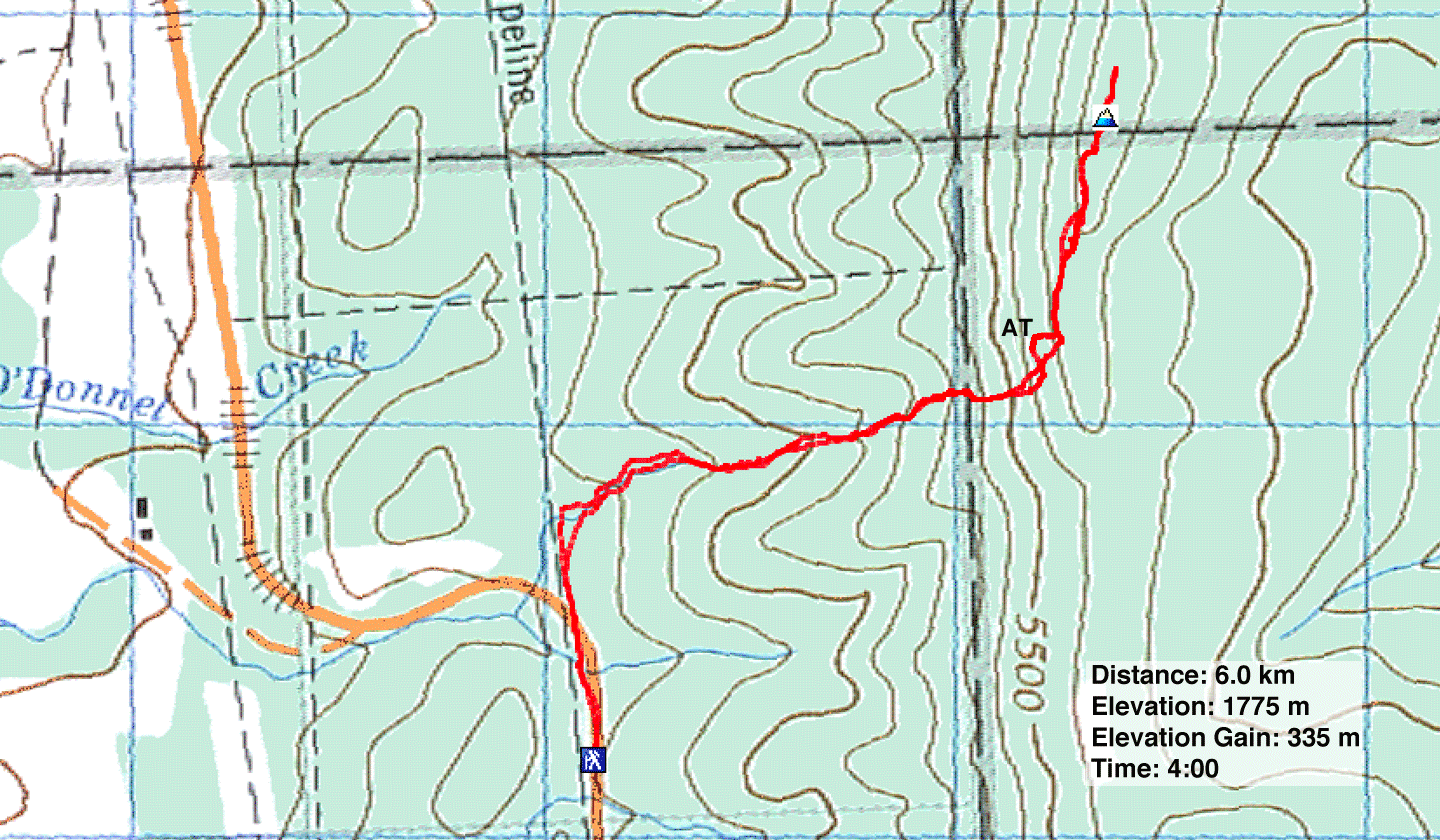 82 J/1 Langford Creek (AT = Almost There Boulder)