bobspirko.ca | Home | Canada Trips | US Trips | Hiking | Snowshoeing | MAP | About

Adair Ridge
Porcupine Hills, Alberta
June 5, 2020
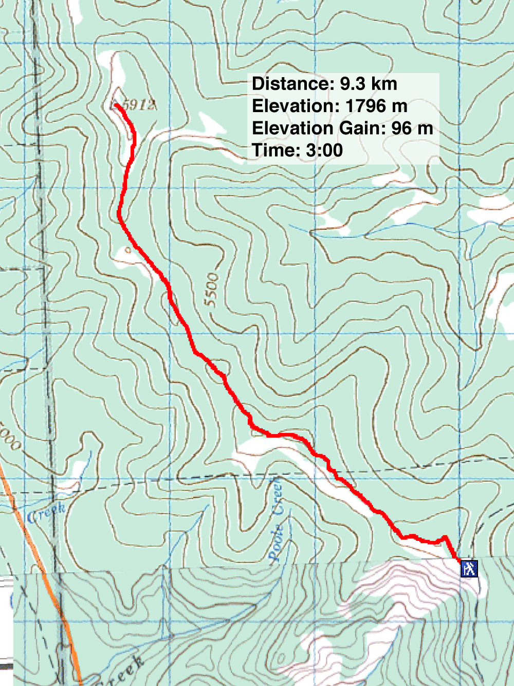
Distance: 9.3 km (5.8 mi)
Cumulative Elevation Gain: 271 m (889 ft)
Adair Ridge is one of a few features that comprise the sprawling mass of Porcupine Hills. But importantly, Adair Ridge has a trail.
The ridge and its trail go by a few names. Alltrails calls it Porcupine Hills Ridge Trail. Mountain bikers refer to it as Honey Trail - South West Ridge. Sonny calls the highest point on the ridge, Porcupine Hills North. But the simplest name, and one that pinpoints it geographically, is Adair Ridge. That's what the Rocky Mountain Ramblers called it when they approached it from Adair Creek.
On most ridge climbs, you can expect to rise well above the trailhead for your efforts. Not so with Adair Ridge. After hiking over three klicks along the roller-coaster-like ridge, Dinah and I felt we had lost more elevation than we had gained. It was no illusion. We were 20 m below the trailhead!
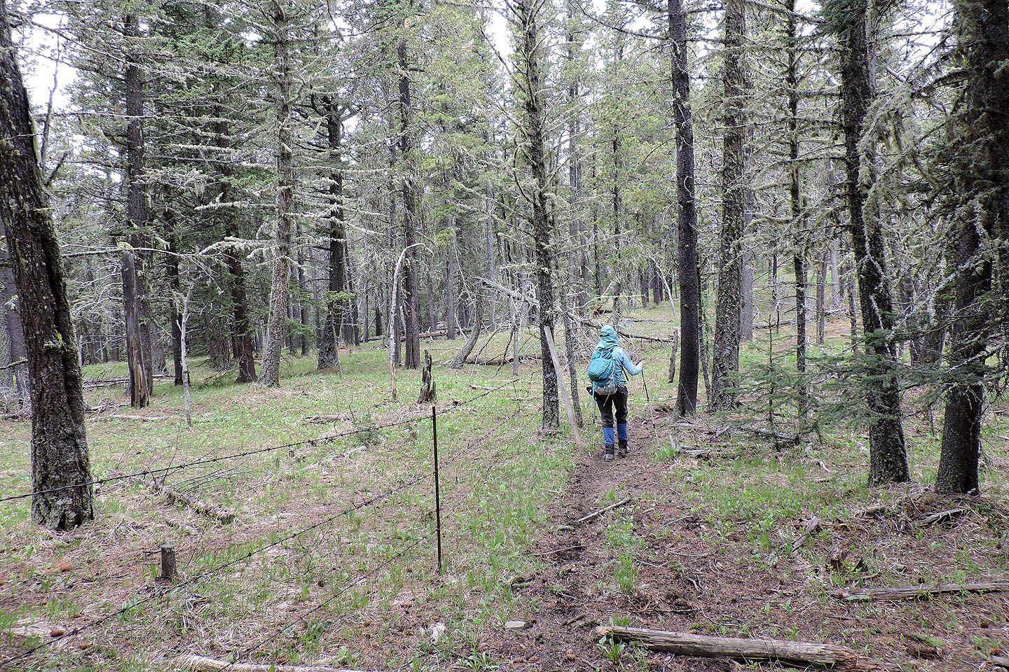
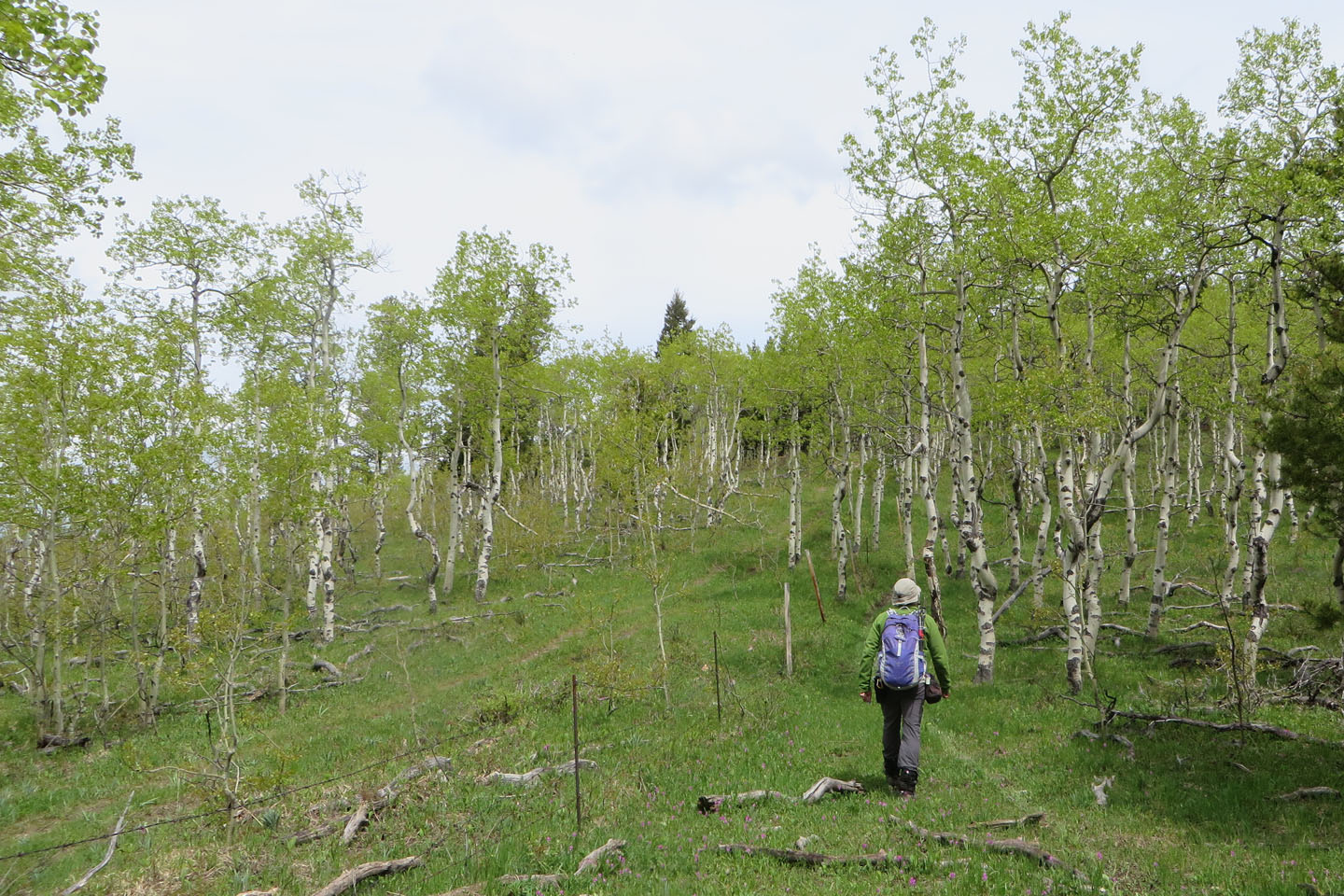
Throughout its length, the trail sticks to a barbed-wire fence. The trail begins on the right side but soon passes through a gate. We continued along the semi-open west side of the fence until the trail suddenly veered left and down. We backed up and crossed the fence to the trail on the east side. We followed the east-side trail through a viewless forest until the final ascent when we crossed the fence to a road on the west side. We hiked up the steep road and then ambled across a meadow to the hilltop.
Trees block the views east, but westward we had an uninterrupted view of Livingstone Range 20 km away. After hanging out for a while, we turned around and took the trail back.
It was a short trip, and we had planned another in the area. But the weather gave us pause. Clouds had rolled in, and it started raining when we got back to the trailhead. So we will return to Porcupine Hills on another day.
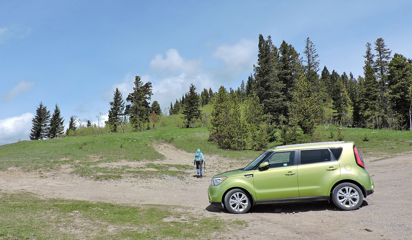
Starting up the trail
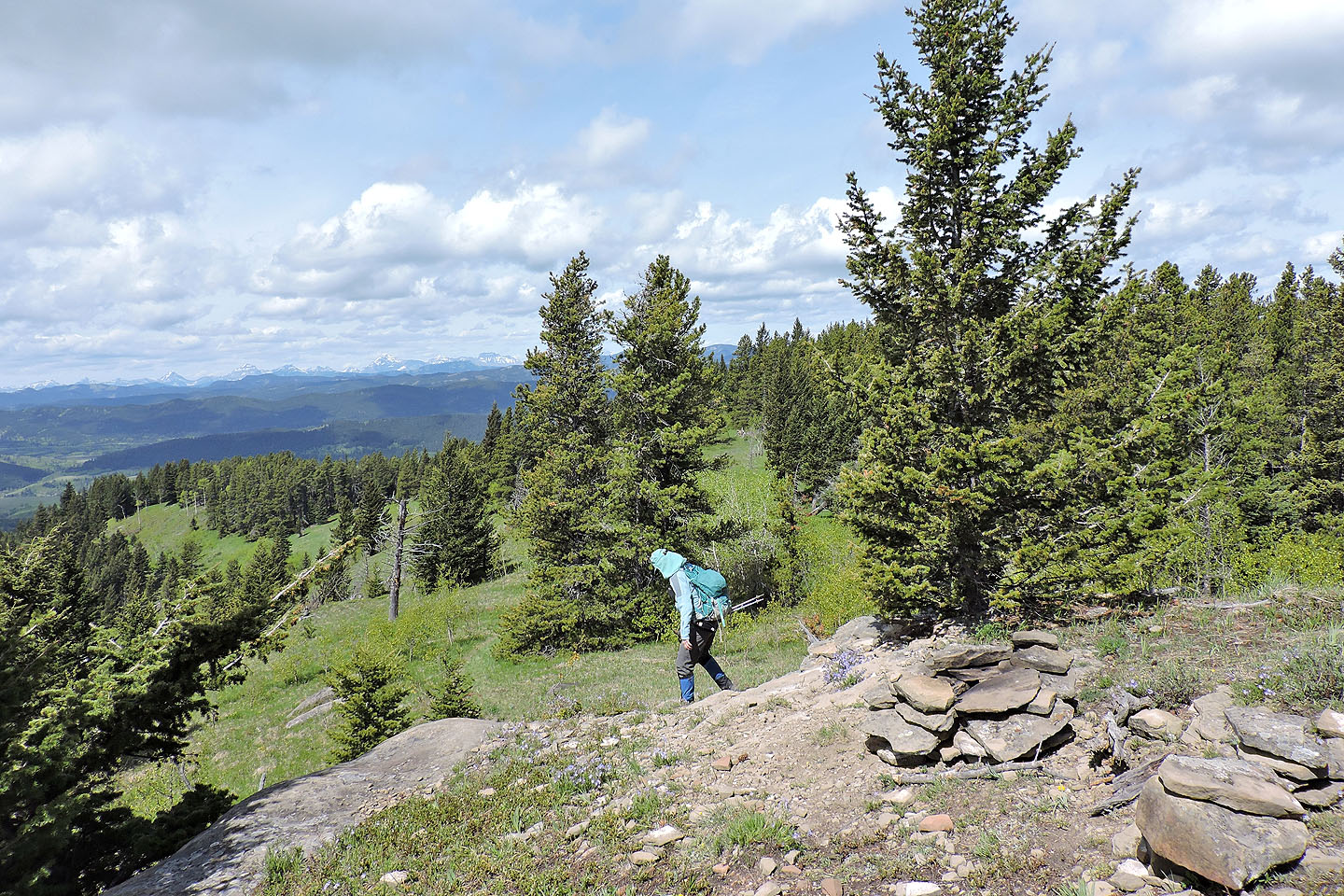
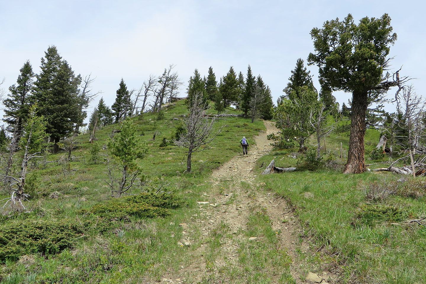
After climbing, the trail soon starts dropping
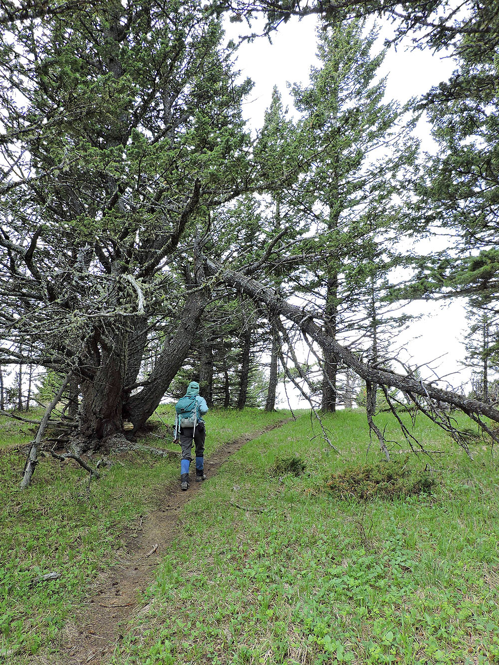
Dinah passes under a broken tree
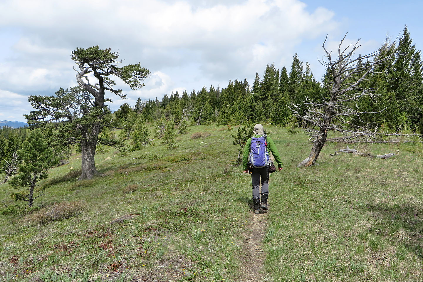
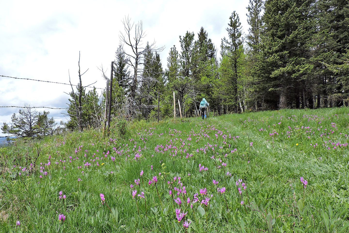
In the first section, the trail crosses pleasant, open areas
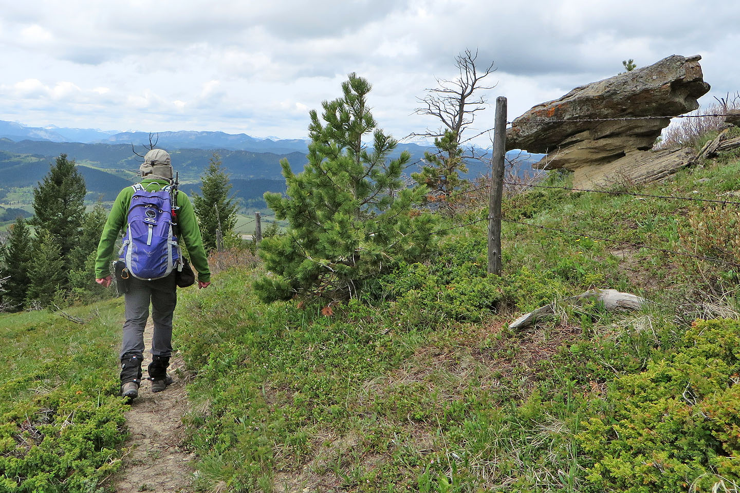
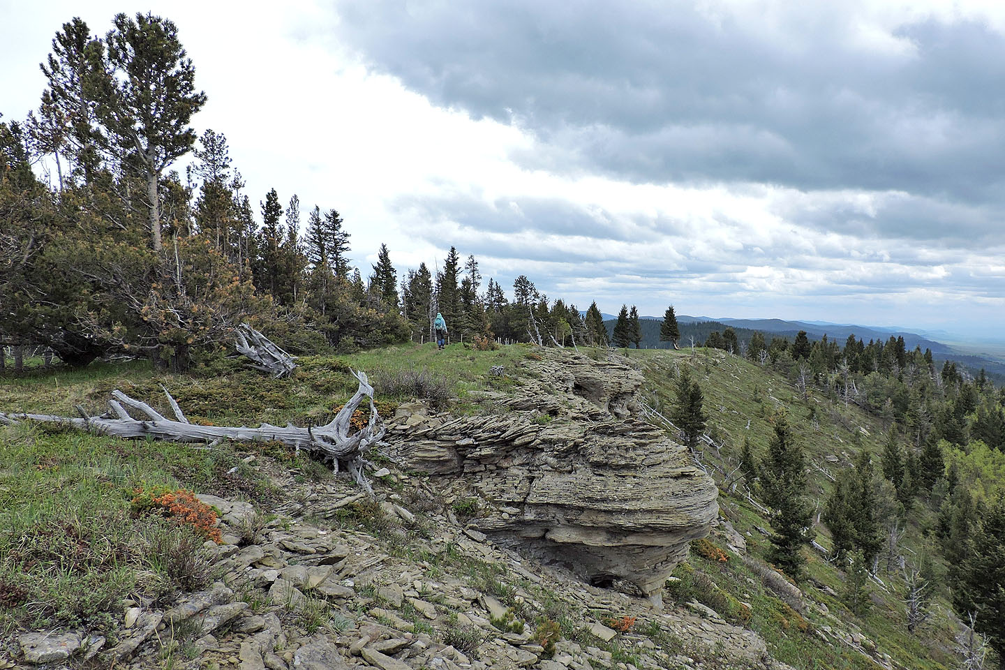
After passing this rock, we realized the trail was going the wrong way, down the west slope. We backed up and found a trail on the other side of the fence.
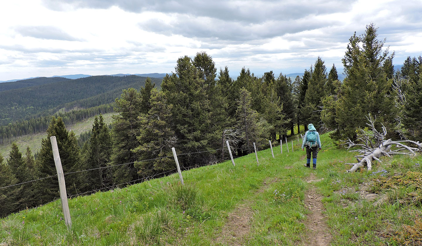
The trail parallels the fence
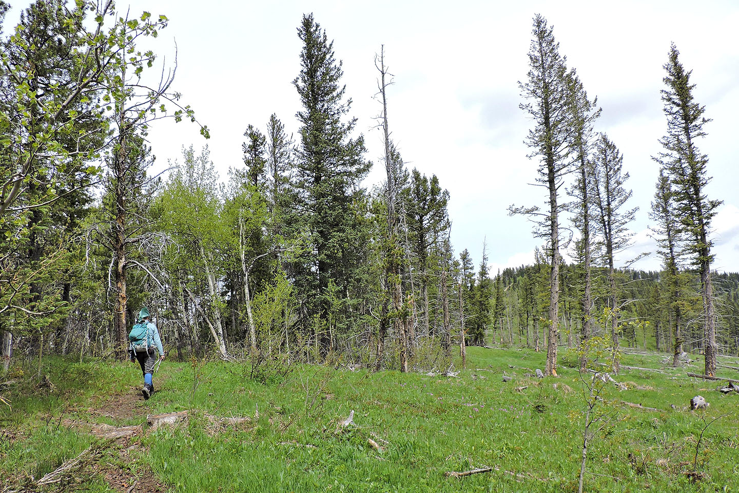
The trail disappears briefly in a meadow
The highest hill appears ahead
In an aspen grove, we crossed the fence to the road on the other side
Hiking up the road
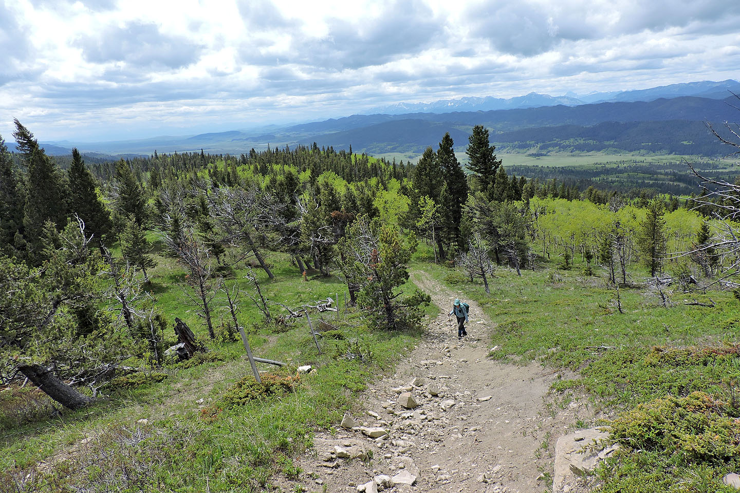
Looking back, Livingstone Range is well in the distance
We'll soon arrive at the top
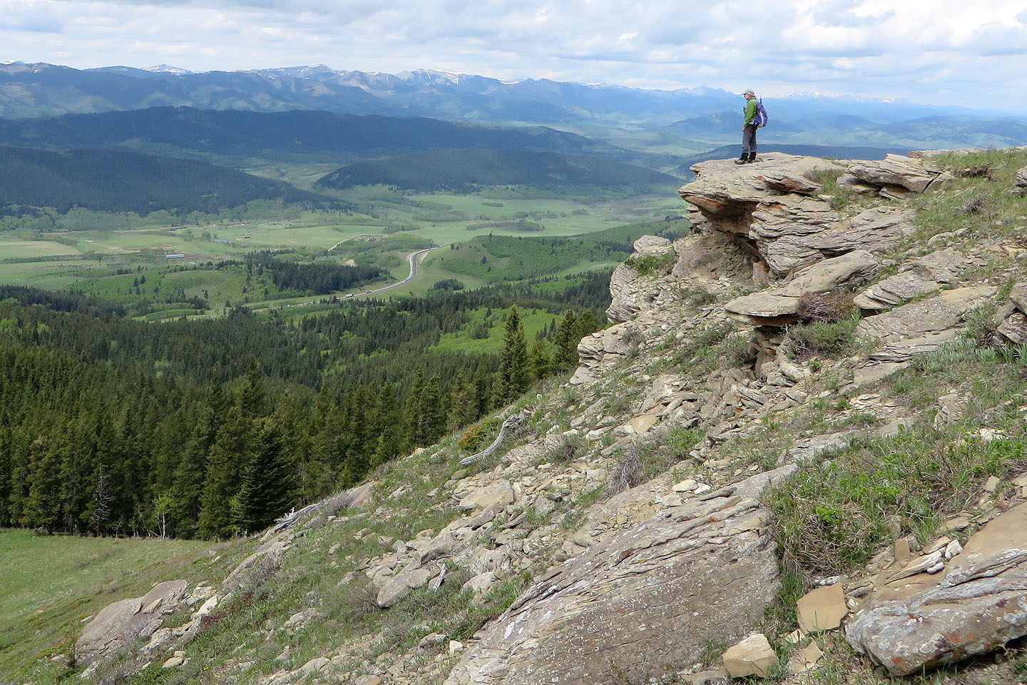
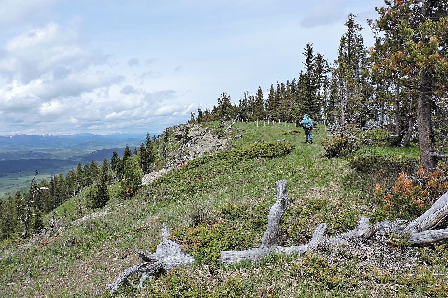
Far-reaching views on the half-open ridge
Beach Ridge lies north. Chain Lakes is visible on the left.
Heading back
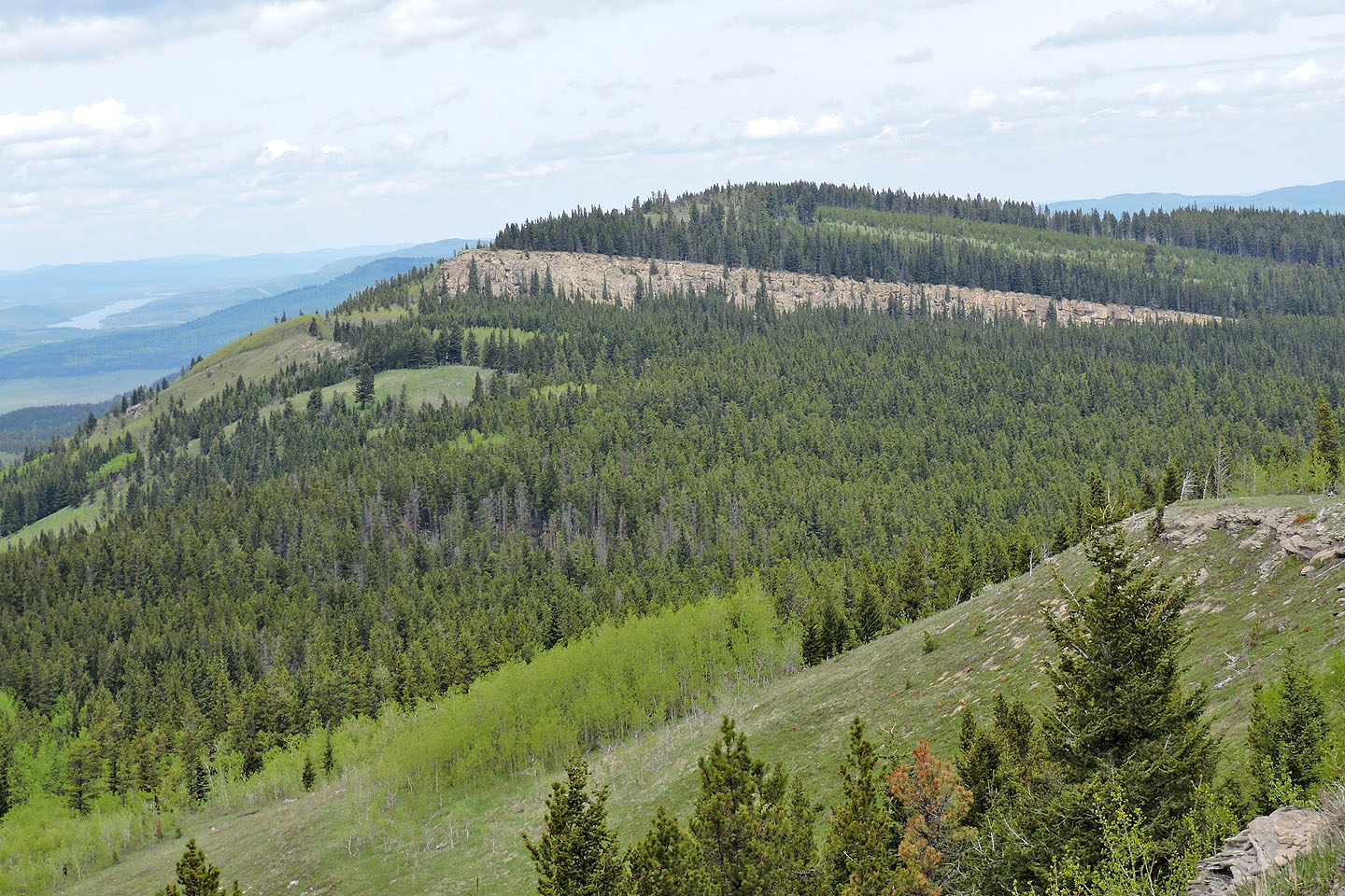
Porcupine Hills stretches well south
82 J/1 Langford Creek, Maycroft 82 G/16