bobspirko.ca | Home | Canada Trips | US Trips | Hiking | Snowshoeing | MAP | About
Mount Mann (West Approach)
Kananaskis, Alberta
April 17, 2021
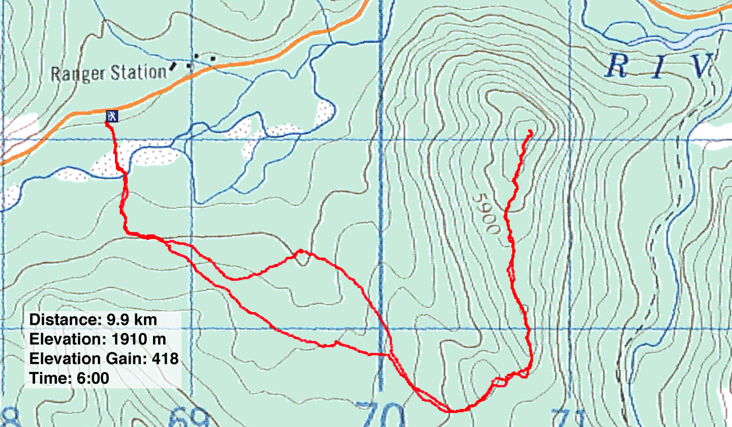
Distance: 9.9 km (6.2 mi)
Cumulative Elevation Gain: 502 m (1647 ft)
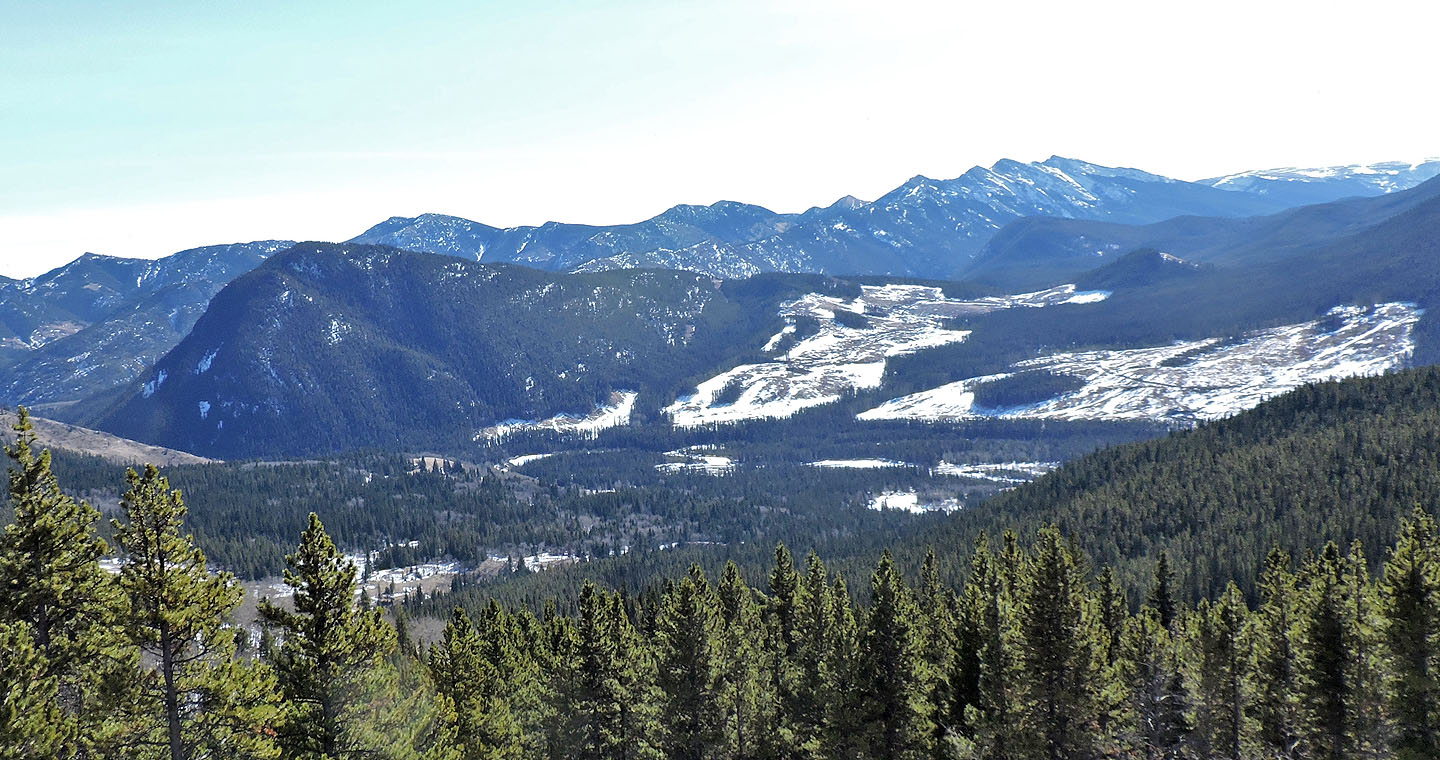
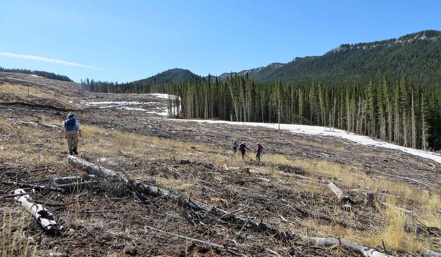
New adventures are scarce during the shoulder season, so when I saw a west route for Mount Mann in the spring, I zeroed in on it. This route wasn't feasible when the valley west of Mann was uninterrupted timberland, but recent logging has since stripped the area of trees leaving two vast cutblocks separated by a band of forest. The usual route for Mount Mann, which Dinah and I did in 2004, approaches the mountain from the east.
The plan was to reach the west cutblock, cross the band of trees to the east cutblock and ascend the north ridge of Mount Mann. But where do we access the west cutblock, and where was the best place to cross the woods that separated the cutblocks? Google Earth was no help as it still displayed a forested valley.
After driving down Highway 541, we had an answer to the first question. 1.6 km east of Highwood Junction we found a “skid trail,” a temporary trail used by logging equipment to remove logs from a timber stand. Dinah and I, along with Zora, Christine, Glenda and Teresa, started our hike there.
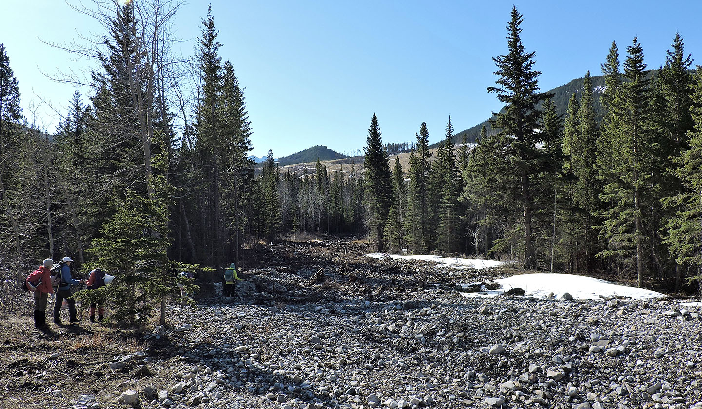
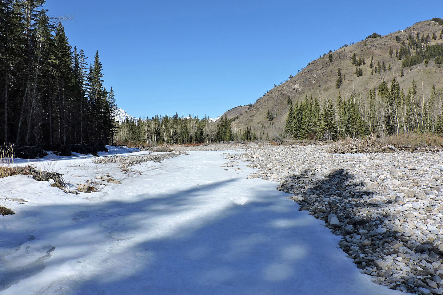
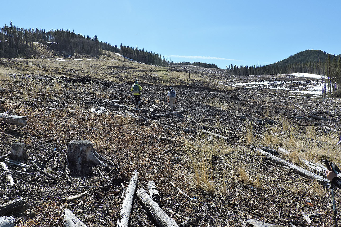
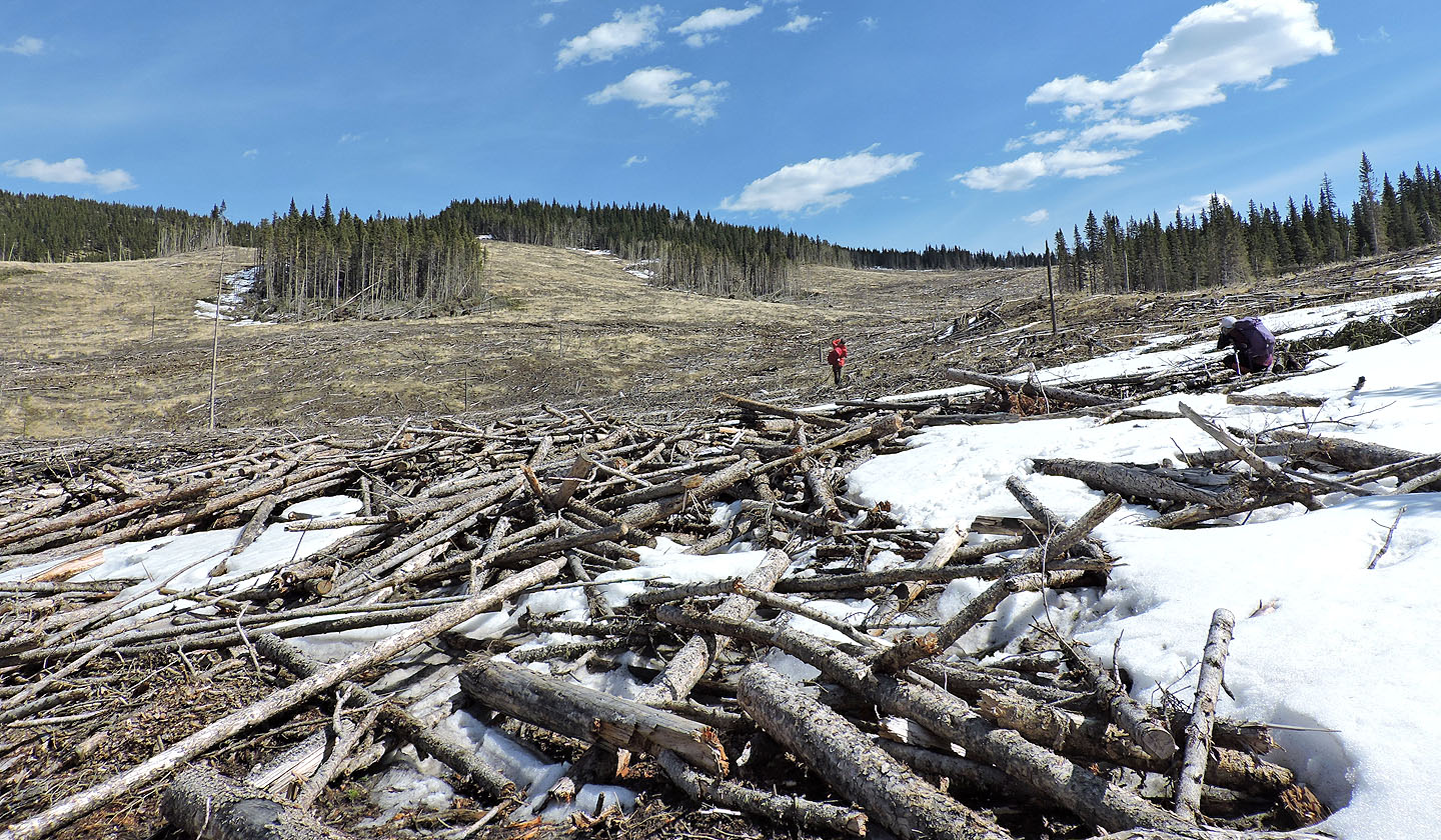
We found ample parking on the roadside. We gathered our gear and started down the skid trail, picking our way through the “slash,” debris from fallen trees. 300 m from the highway, we forded Highwood River. Unlike the river crossing for the east approach, this was like crossing a creek. It was short and only ankle-deep. 70 m after the river, we came to a frozen stream. We walked across and continued up the trail to the edge of the west cutblock.
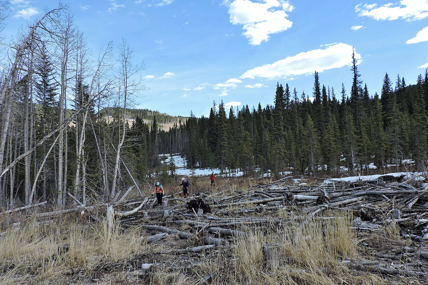
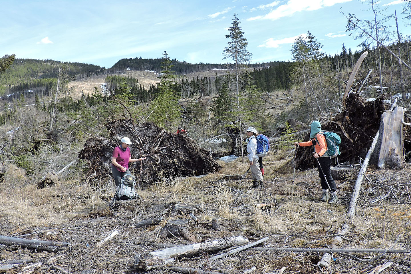
After climbing a rise in the west cutblock, we figured out where to cross the band of forest. We spied a thin spot in the trees. Beyond it, we could see the east cutblock. But when we reached the spot, we realized this was not an easy passage: the trees hid a deep drainage. We climbed over some logs at the edge only to realize the deadfall intensified as we descended. But four of us got through, crossed a frozen creek and climbed up the other side. Meanwhile, Dinah and Glenda fared better when they ventured downstream and found an easier crossing with a gentler slope and no deadfall.
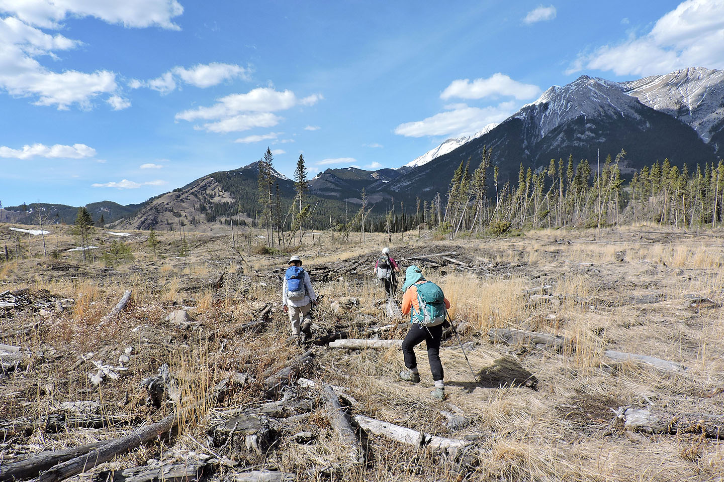
From the edge of the east cutblock, we sauntered to the north end where we could start up the north ridge. We hiked through a thin forest, went over a rise and soon gained the ridge crest. We followed the undulating ridge. Most of it was treed and snow-covered, but glades gave way to dry meadows. On the top of Mount Mann, we found a small cairn, a pink summit register and views to the east. We stopped for lunch before heading back.
For our return, we didn't cross the miserable drainage. While hiking up the east cutblock we noticed a skid trail. We followed the trail, crossed a frozen swamp and reached the west cutblock. We soon joined our ascent route and followed it back.
We all enjoyed the trip. The cutblocks were unsightly, but the open sky was a welcomed delight when much of the hiking around here is done in trees. The skid trails were muddy, however, so it's best to do this trip in dry conditions.
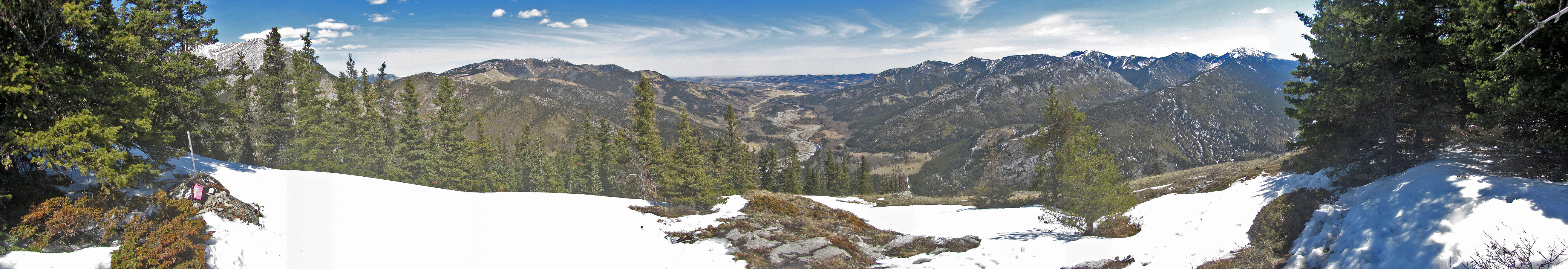
Mount Mann and the cutblocks seen from Stony Ridge
The skid trail seen from the highway
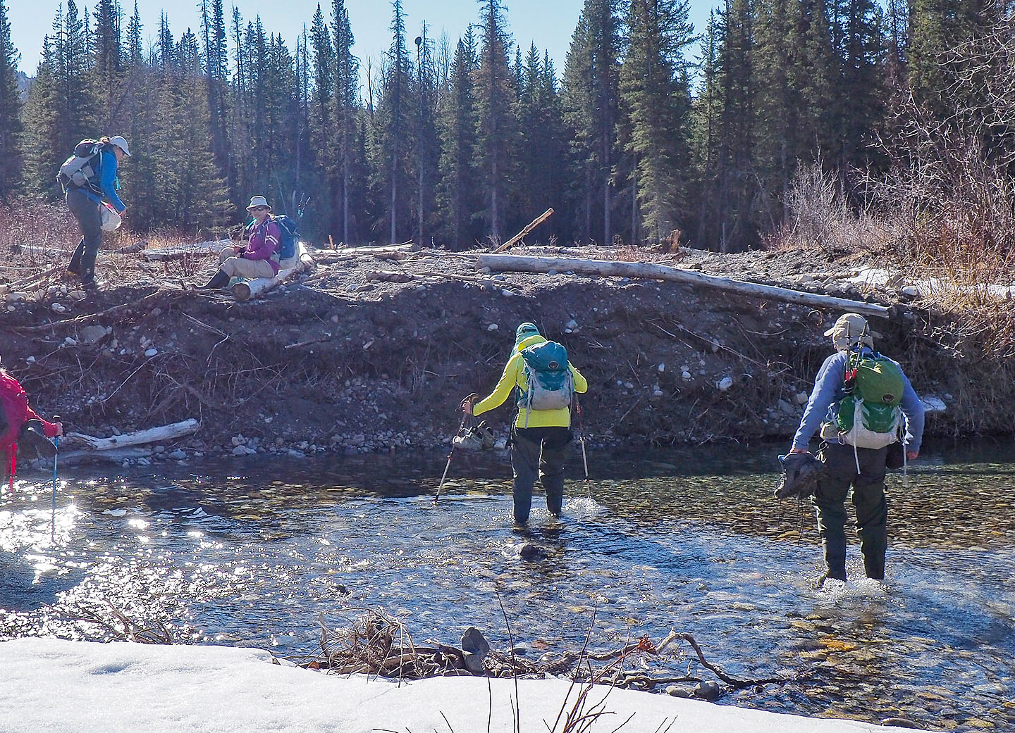
Crossing Highwood River
Heading to the second crossing
The stream was frozen over
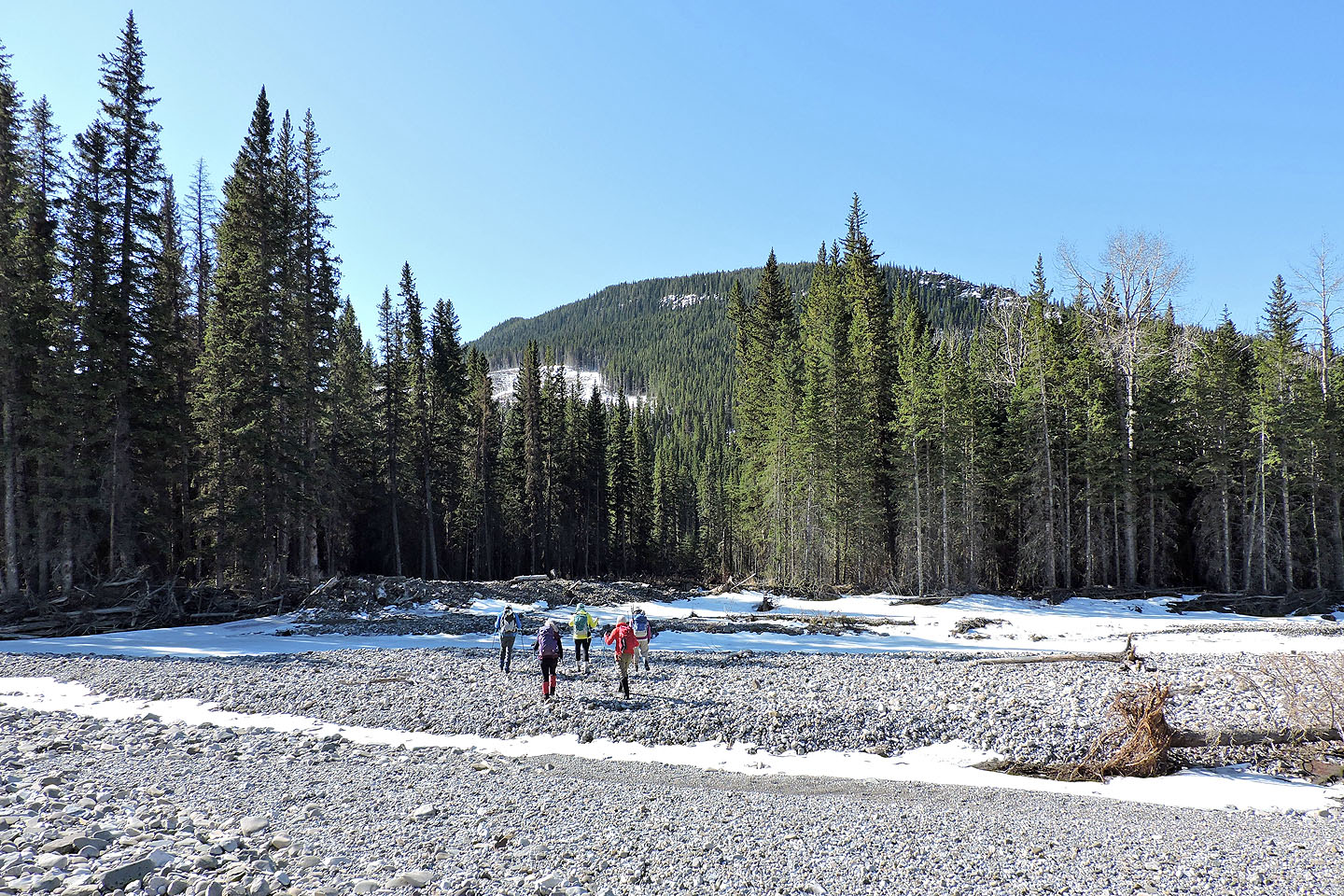
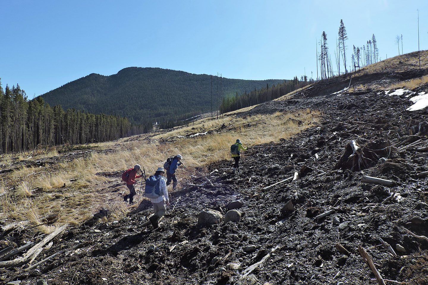
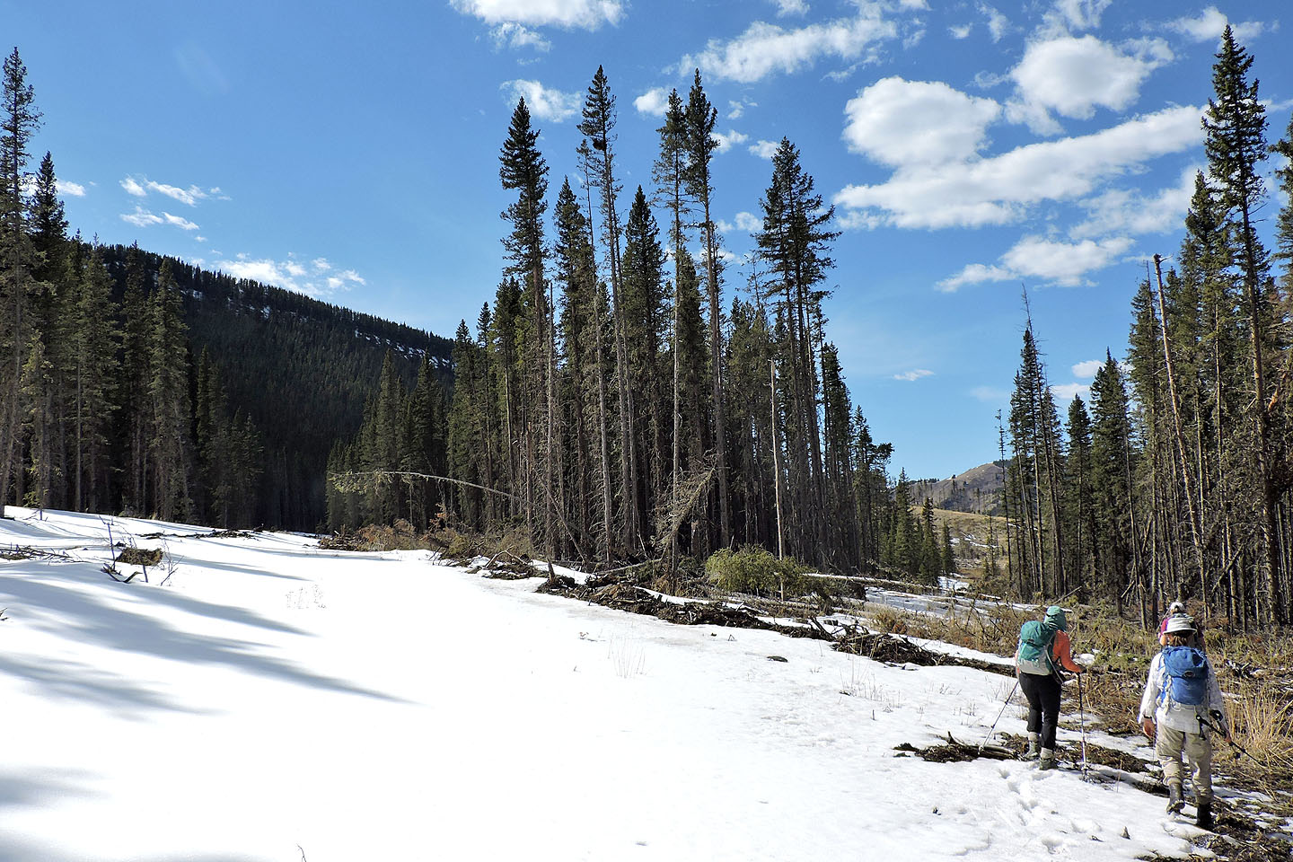
We continued up the skid trail, keeping to the sides to avoid the slash in the middle
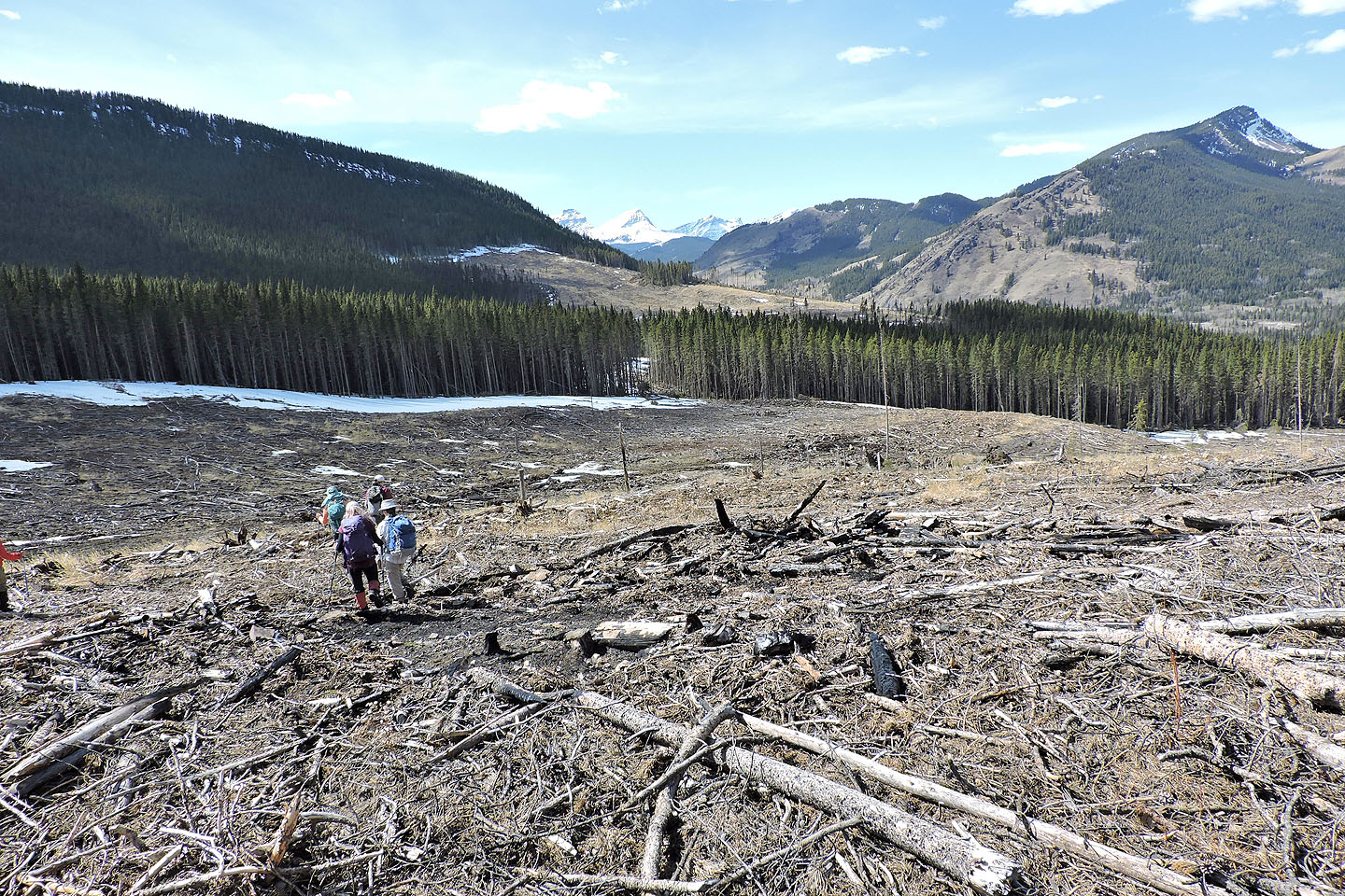
The trail leads to the west cutblock
Entering the west cutblock
.jpg)
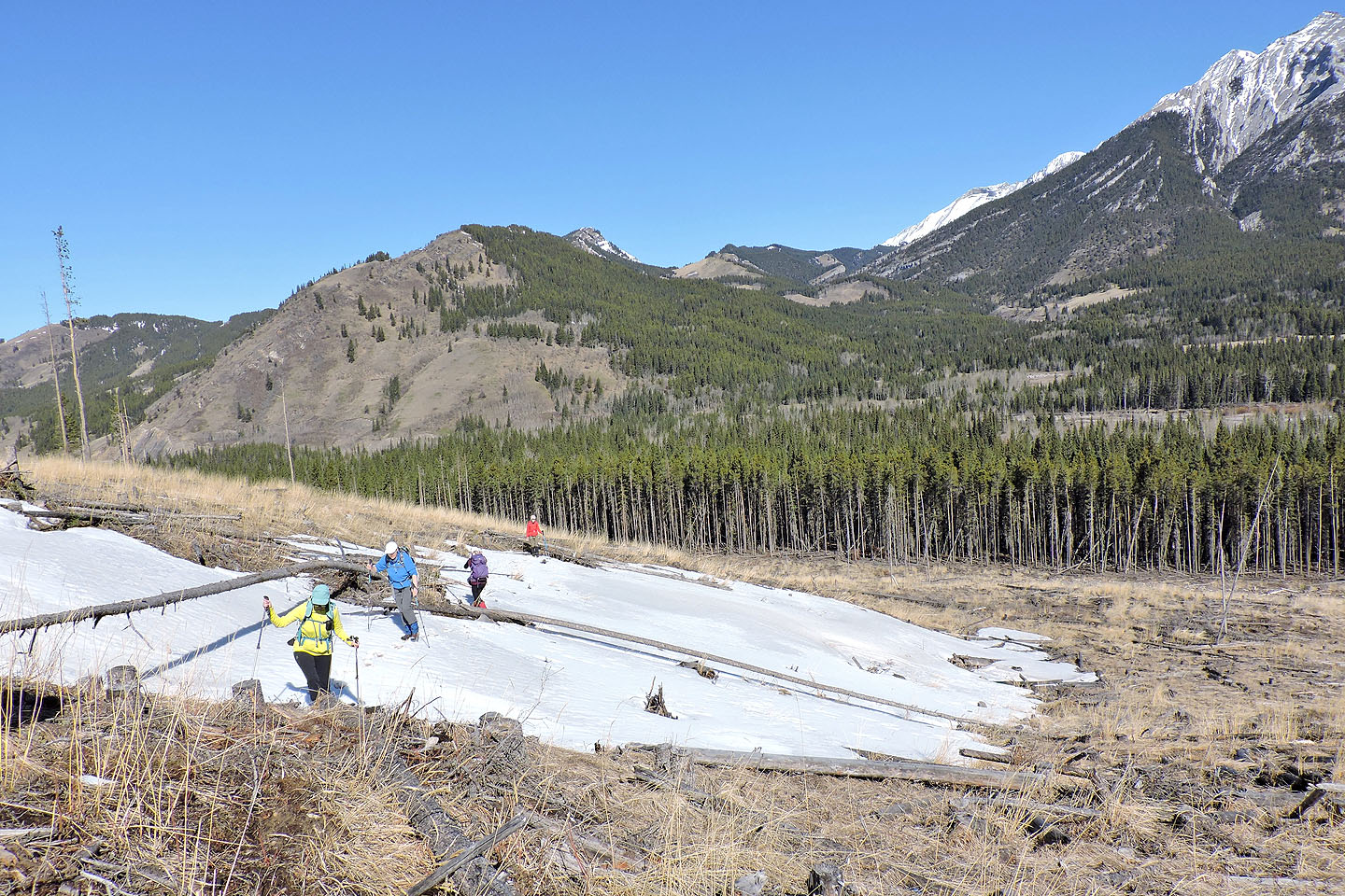
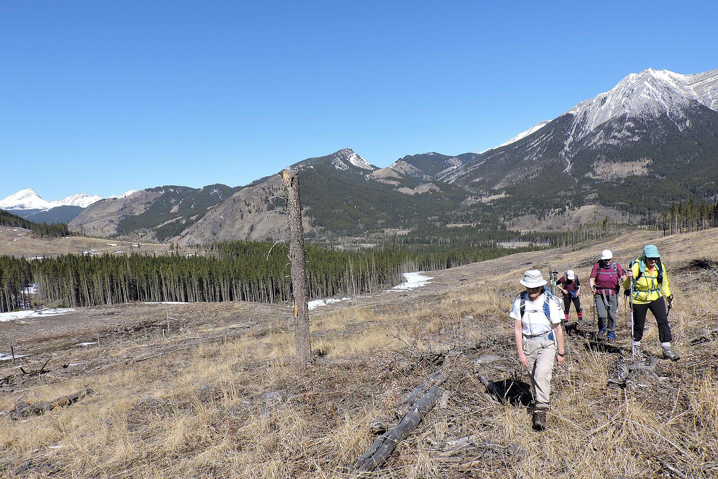
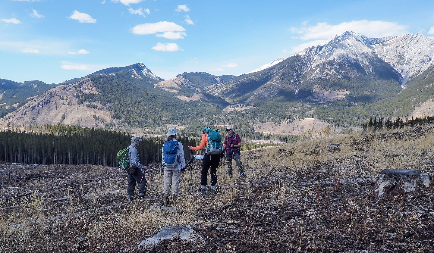
The snow-capped peaks of Mounts Strachan, Muir and McPhail appear behind Glenda

We angled up the slope on our right
Behind us is Junction Hill. The small ridge in the centre is Stony Ridge.
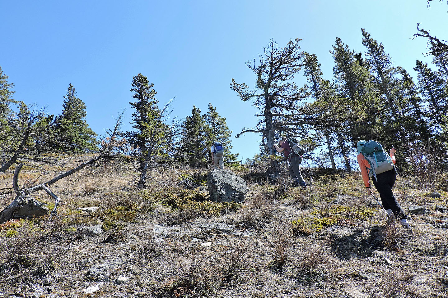
We decided to head to the thin spot in the trees ahead
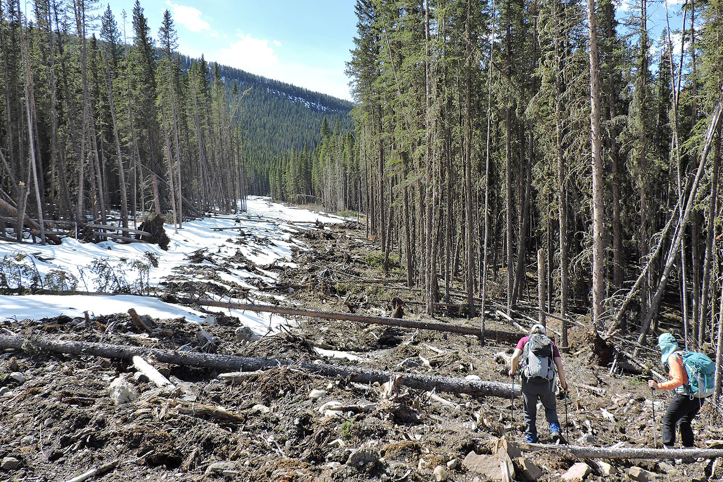
What appeared to be a break in the trees...
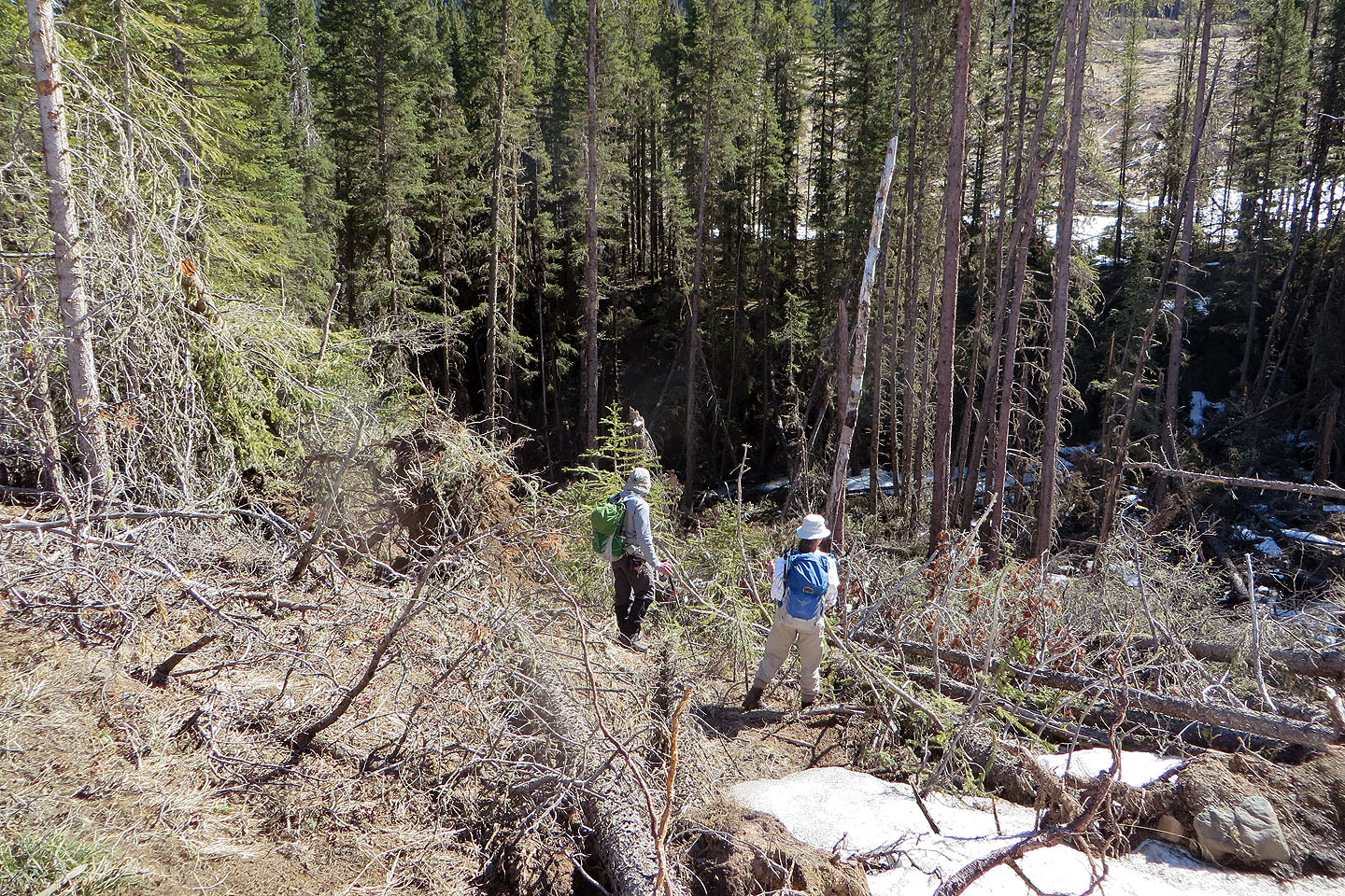
...was a hidden creek with steep banks
.jpg) Four of us clambered over deadfall, while Dinah and Glenda found a spot downstream that avoided this crap and wasn't as steep.
Four of us clambered over deadfall, while Dinah and Glenda found a spot downstream that avoided this crap and wasn't as steep.
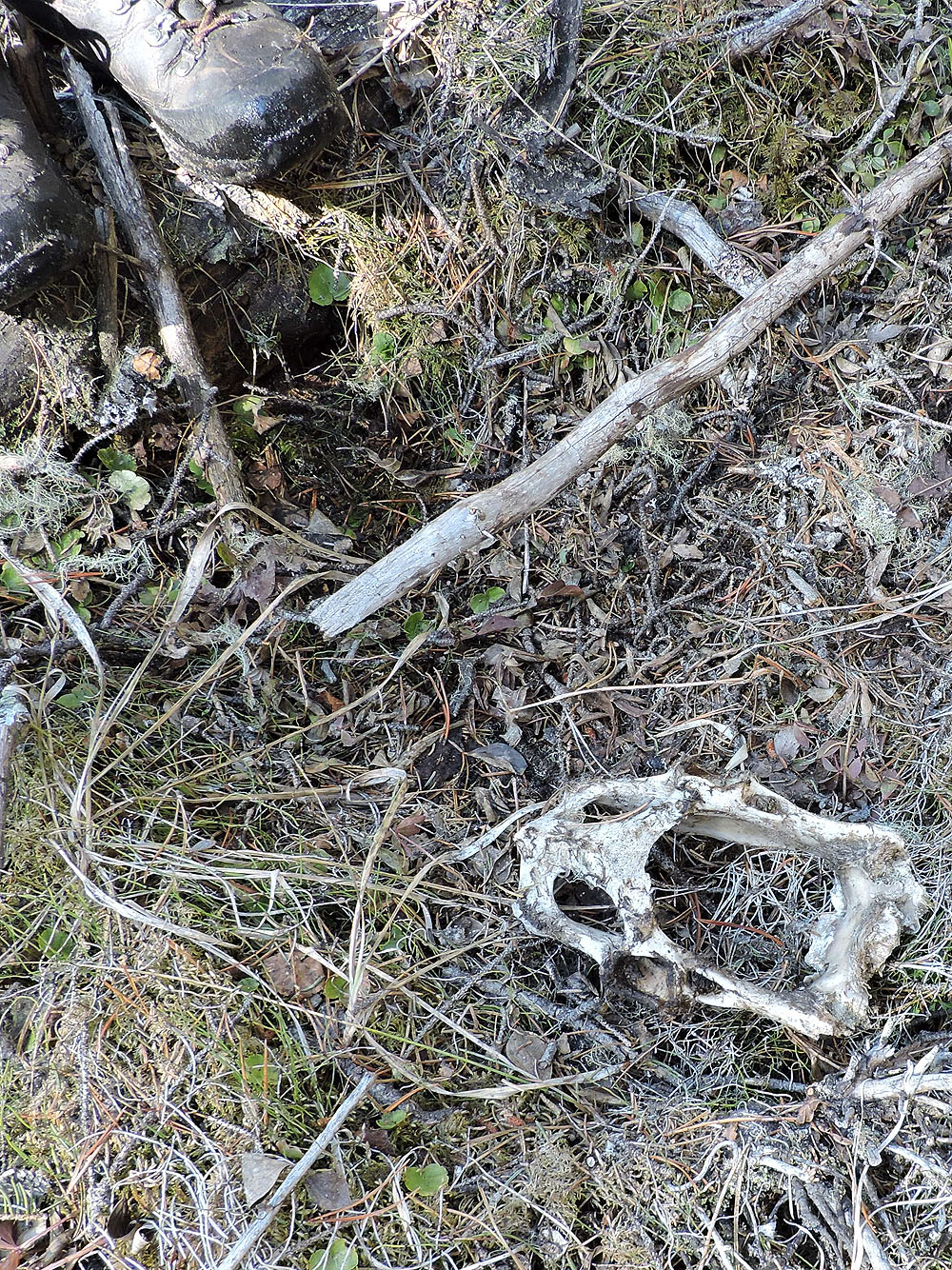
We came across the pelvis of a small animal
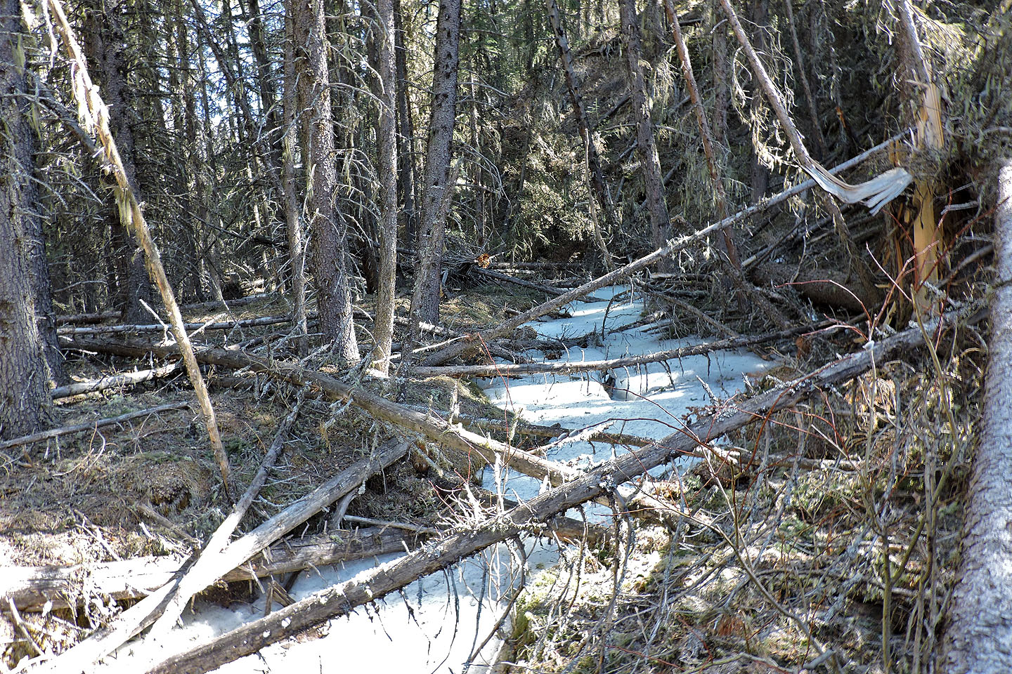
The creek was frozen
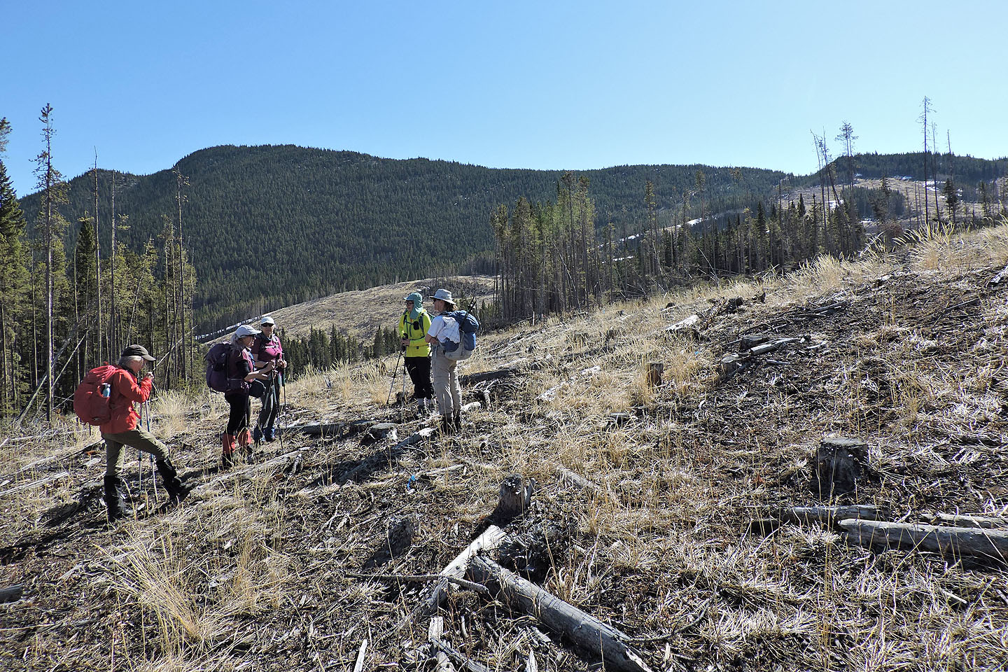
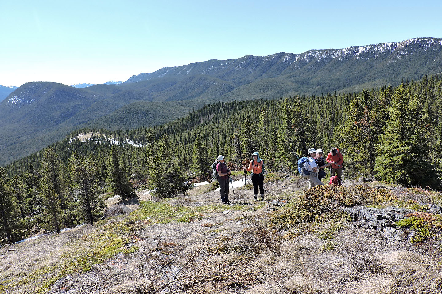
We regrouped on the edge of the east cutblock
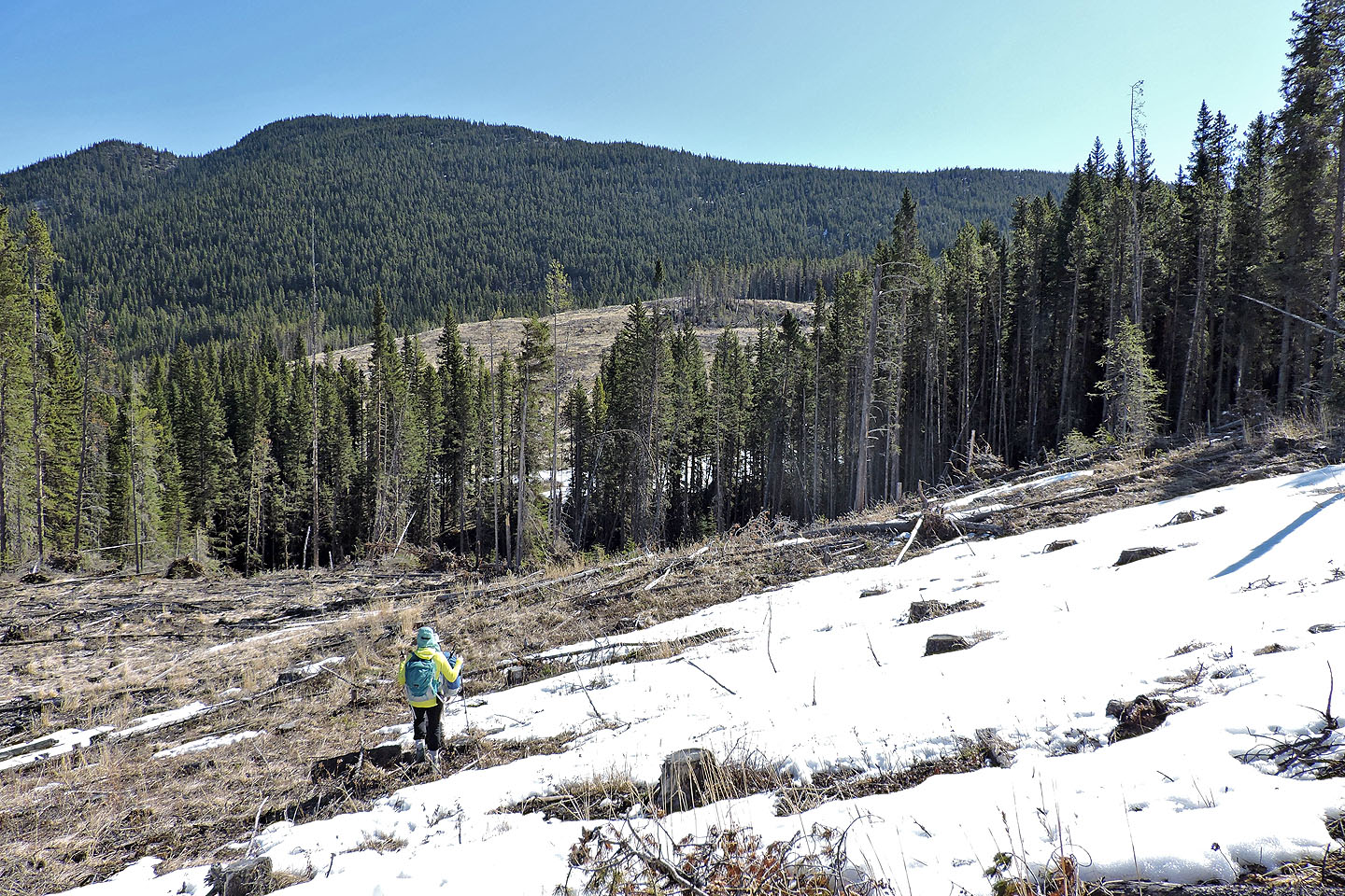
We made our way to the north end
Looking back after hiking well up the cutblock. Left is the skid trail we took on our return.
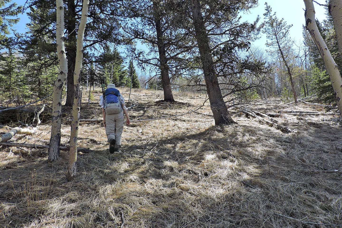
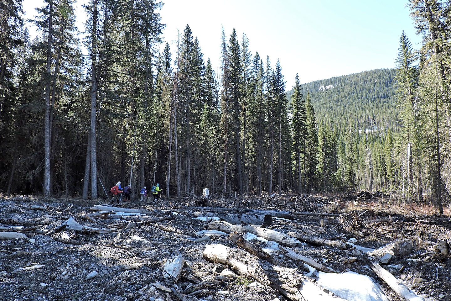
Entering the trees at the edge of the cutblock
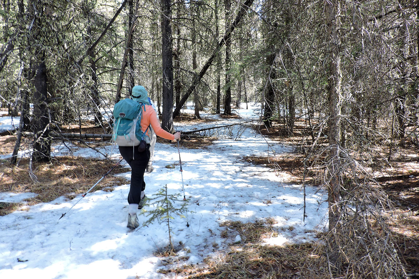
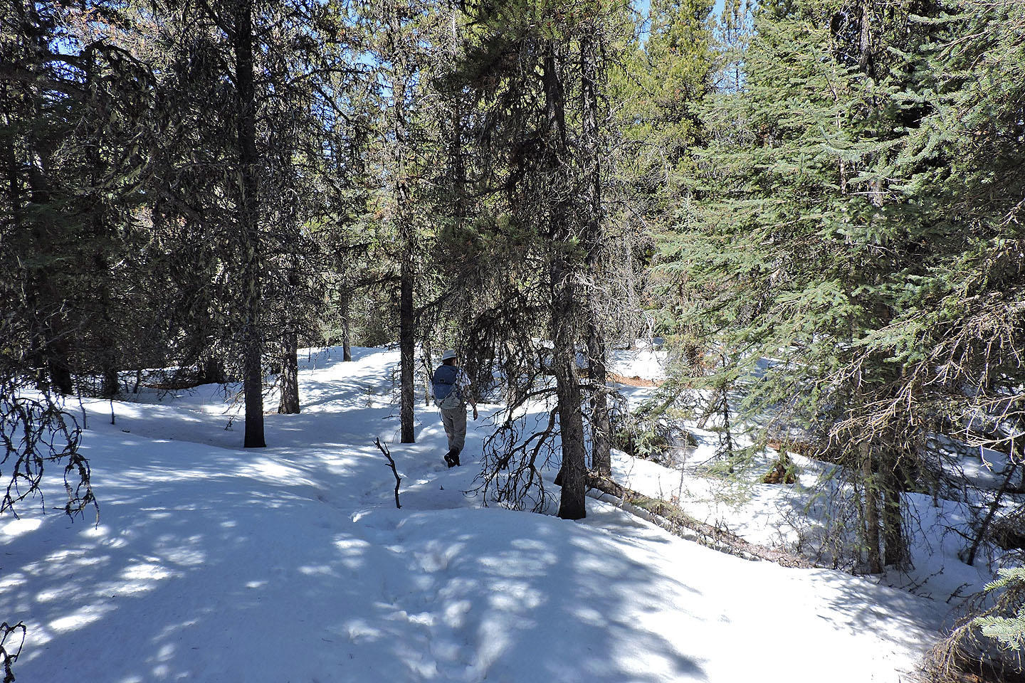
Travel through the forest was easy and pleasant
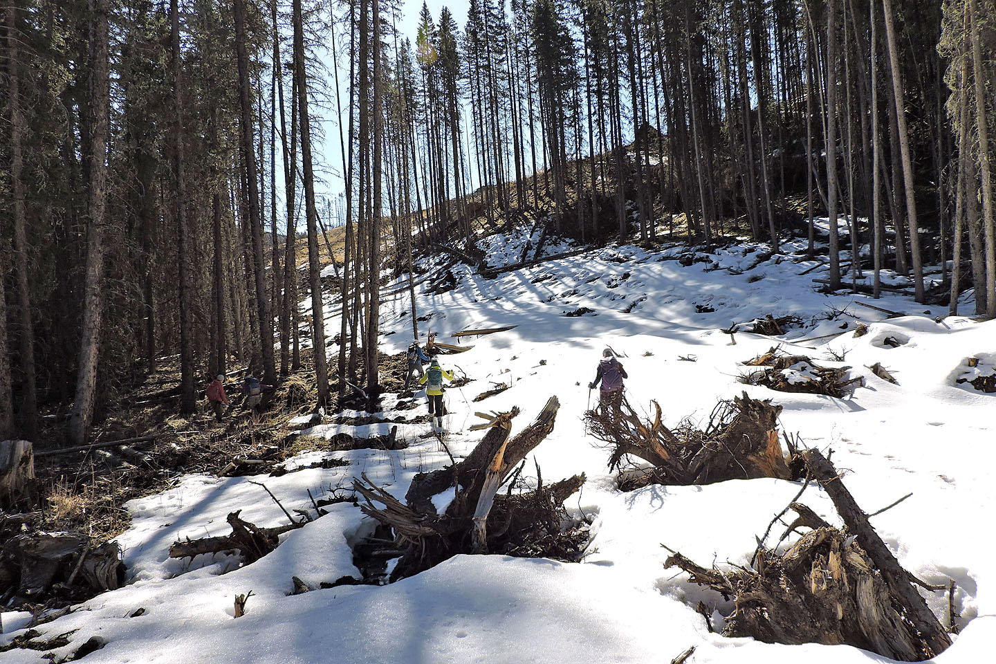
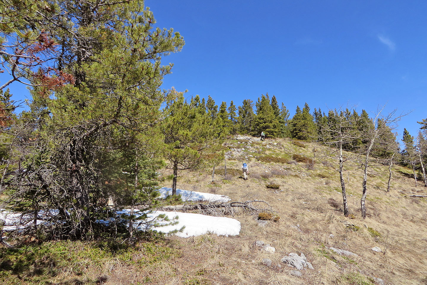
After a brief hike through the woods, we climbed to the ridge crest
Looking south from the ridge. Hell's Ridge stretches above.
We started up the ridge
We encountered snow on the ridge...
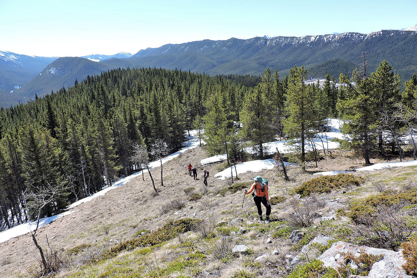
...but there were a few dry slopes
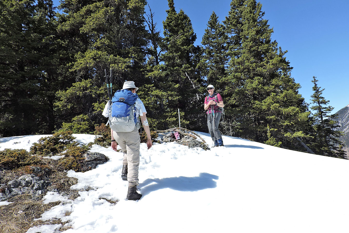
Zora and Teresa reach the cairn
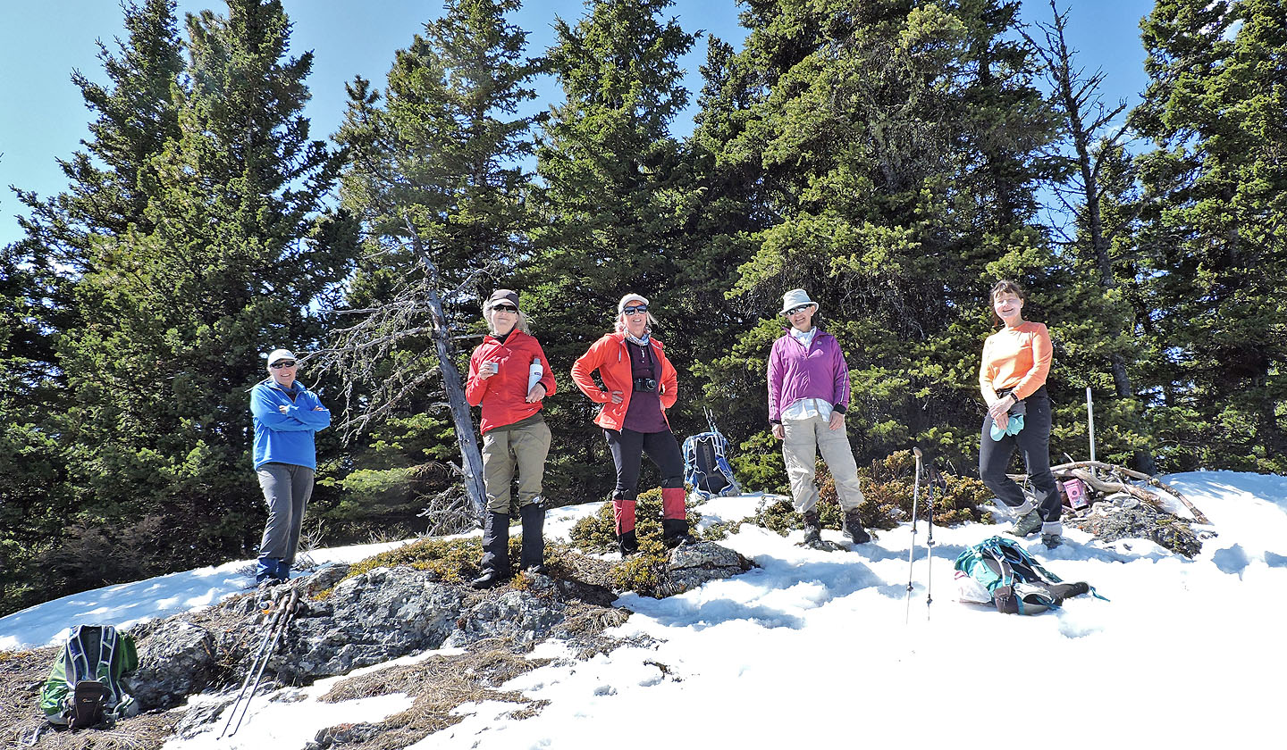
Five women on Mann: Teresa, Glenda, Christine, Zora and Dinah
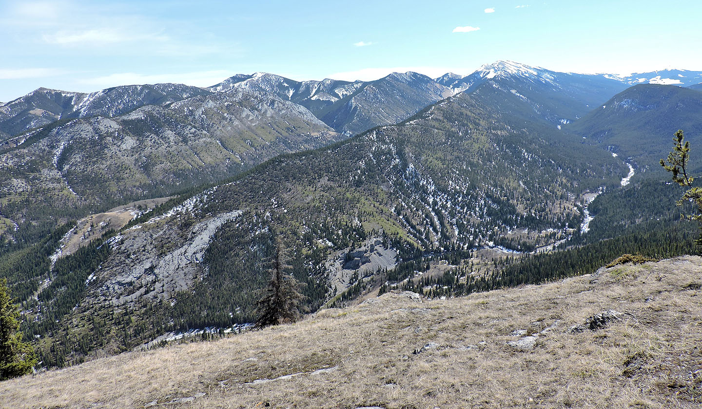
Zephyr Creek Hills lie east
Back at the edge of the east cutblock where we stopped to regroup
We headed to the skid trail we had seen earlier
Looking back from the start of the skid trail
Teresa and Dinah start down the trail
We kept right where we could see the east cutblock ahead
Looking back after reaching the edge of the east cutblock
Teresa stopped to treat a wound. She was the third person to receive a scratch on our trip.
We'll soon connect with our ascent route
 82 J/7 Mount Head