bobspirko.ca | Home | Canada Trips | US Trips | Hiking | Snowshoeing | MAP | About
Mount Mann (East Approach)
Kananaskis, Alberta
March 6, 2004
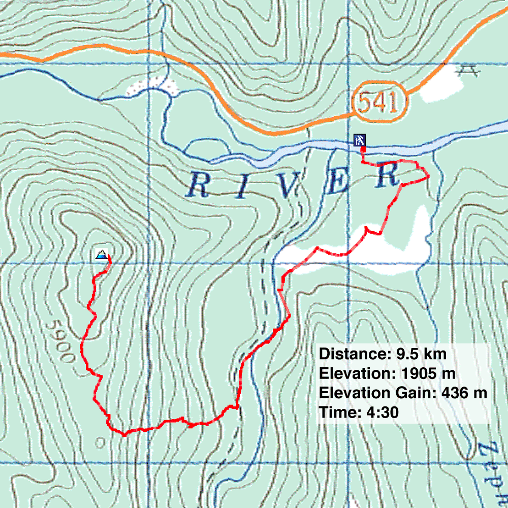
Distance: 9.5 km (5.9 mi)
Cumulative Elevation Gain: 507 m (1663 ft)
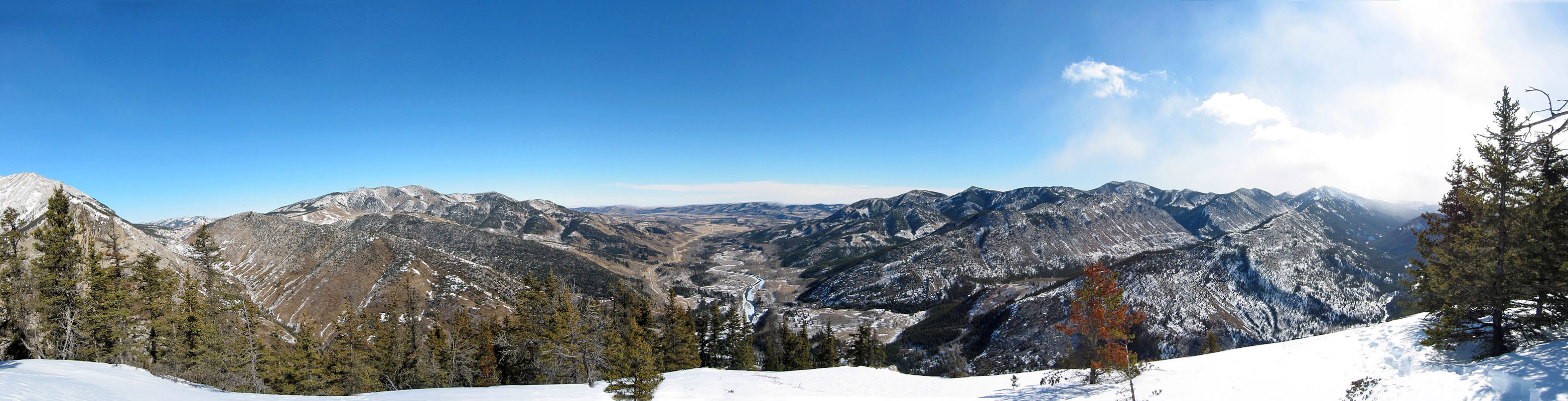
To reach Mount Mann, we took a more direct route than described in the Kananaskis Country Trail Guide, knocking off a couple of kilometres at the expense of doing a steeper hike. Using hip waders, Wayne, Dinah and I crossed Highwood River at a shallow spot east of Cataract Creek. Then we hiked along the east bank of the creek before finding a place to cross. After a short climb, we summited Mount Mann.
Most of the summit is treed. The views were decent but limited to the east. Hardly an exciting trip, but worthwhile when there is little else in the winter and High River runs shallow.
In 2021 we ascended Mount Mann from the west which takes advantage of newly created cutblocks. The distance and elevation gain are nearly the same, but the west approach provides an easier river crossing.
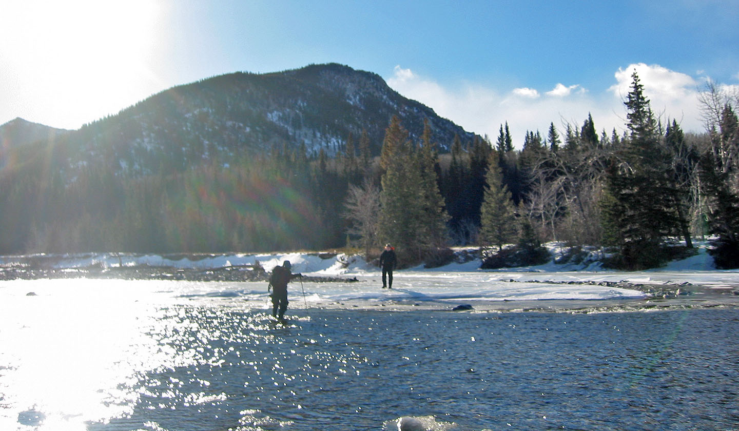
Crossing Highwood River
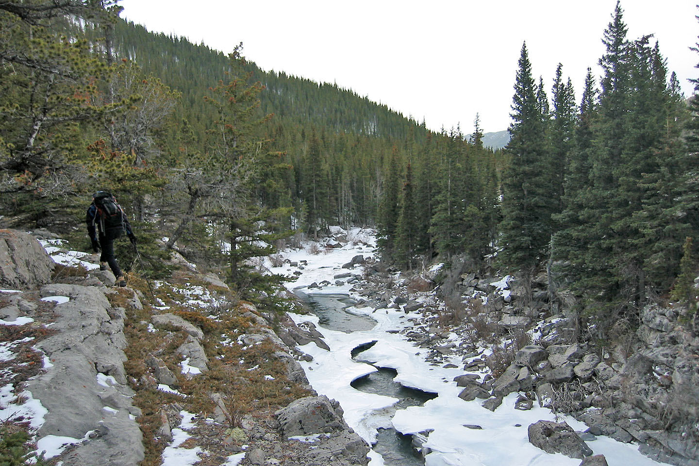
We looked for a place to cross Cataract Creek
We headed down to solid creek ice where we'll cross
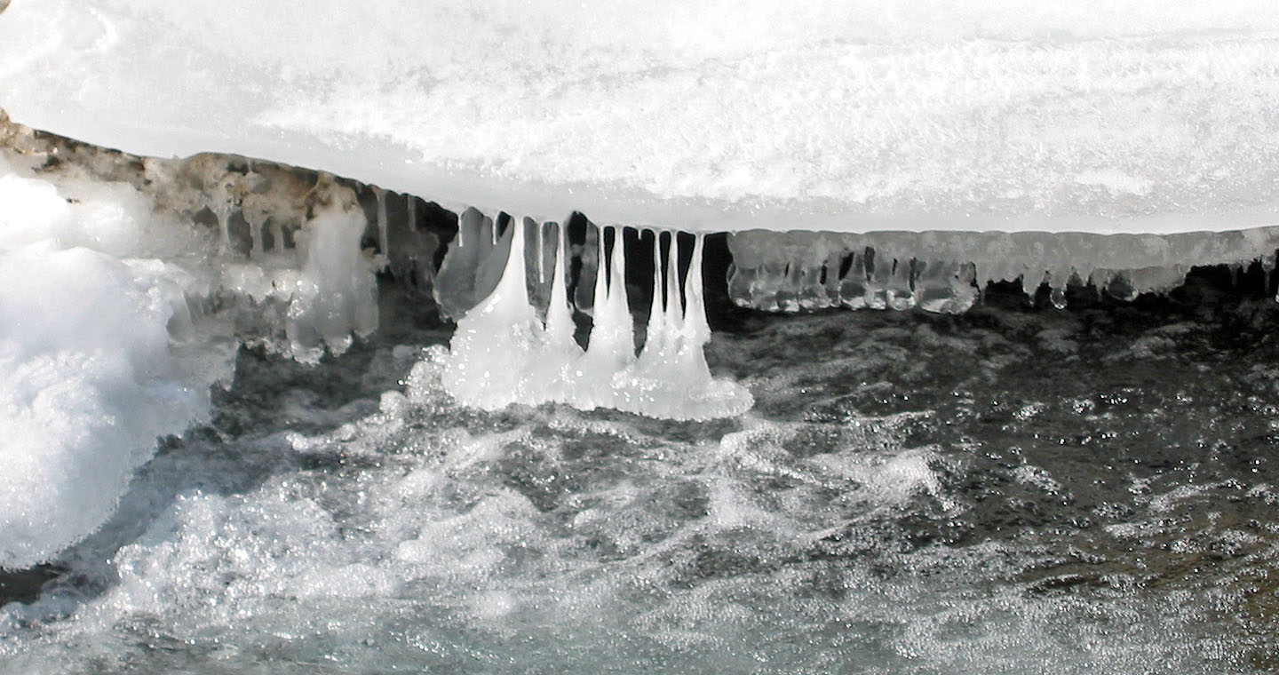
Icicles appear upside down on the creek
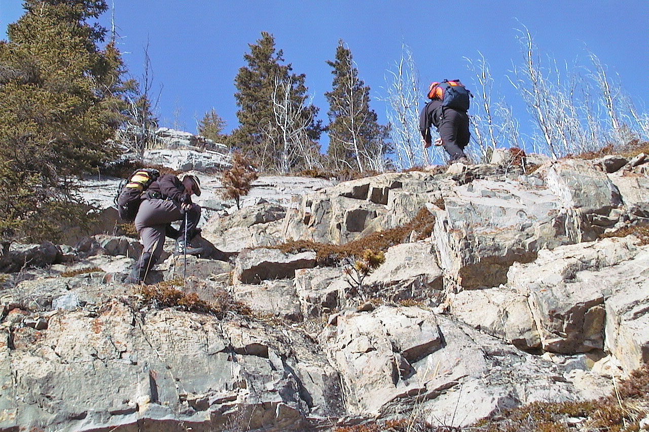
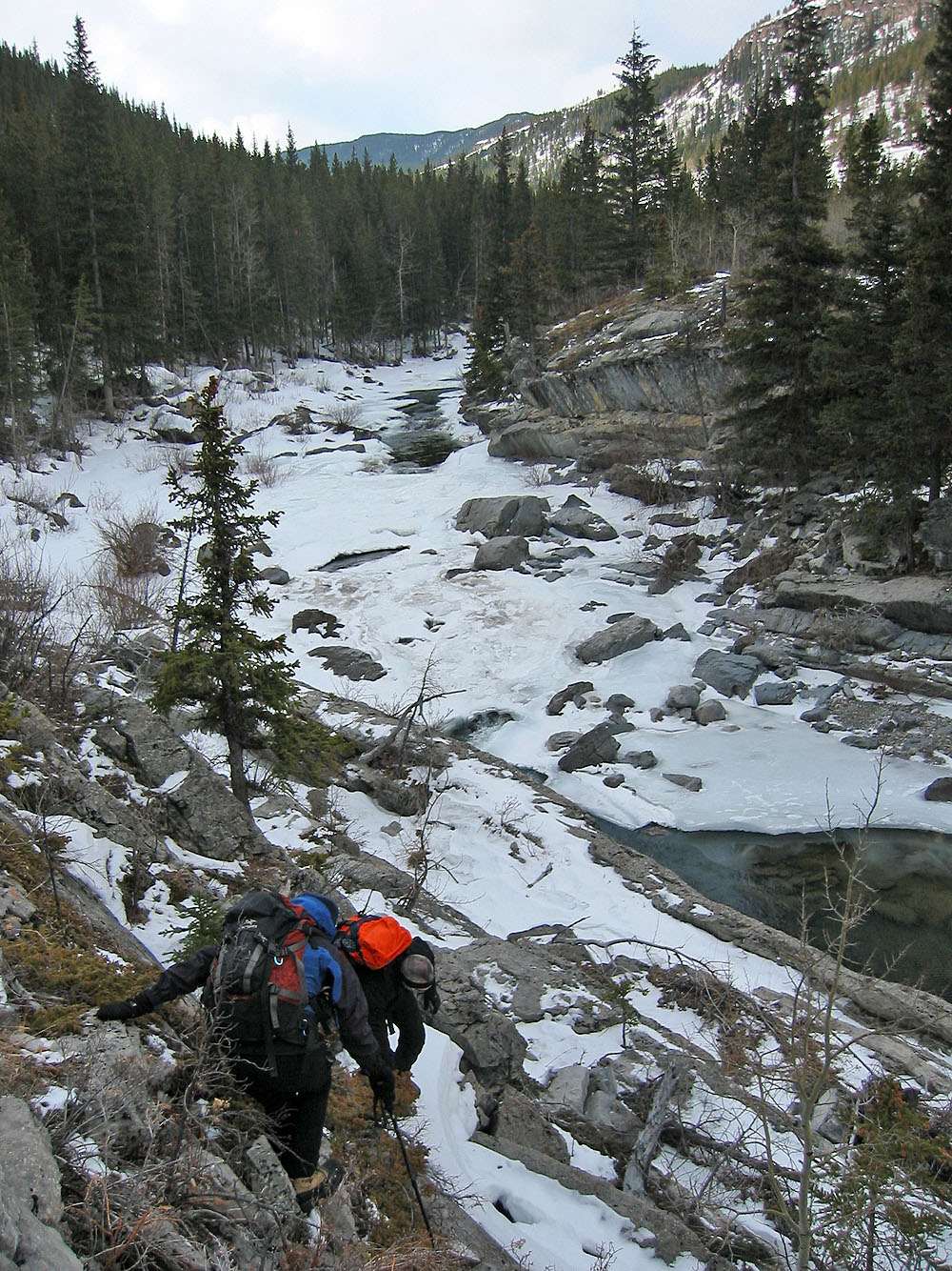
Scrambling up the other side of the creek
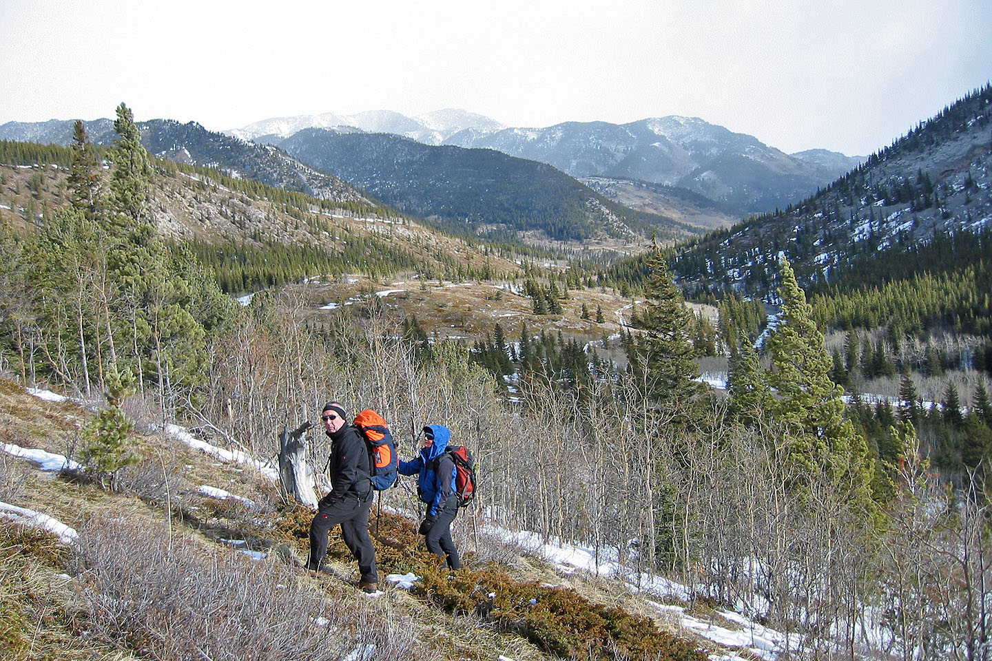
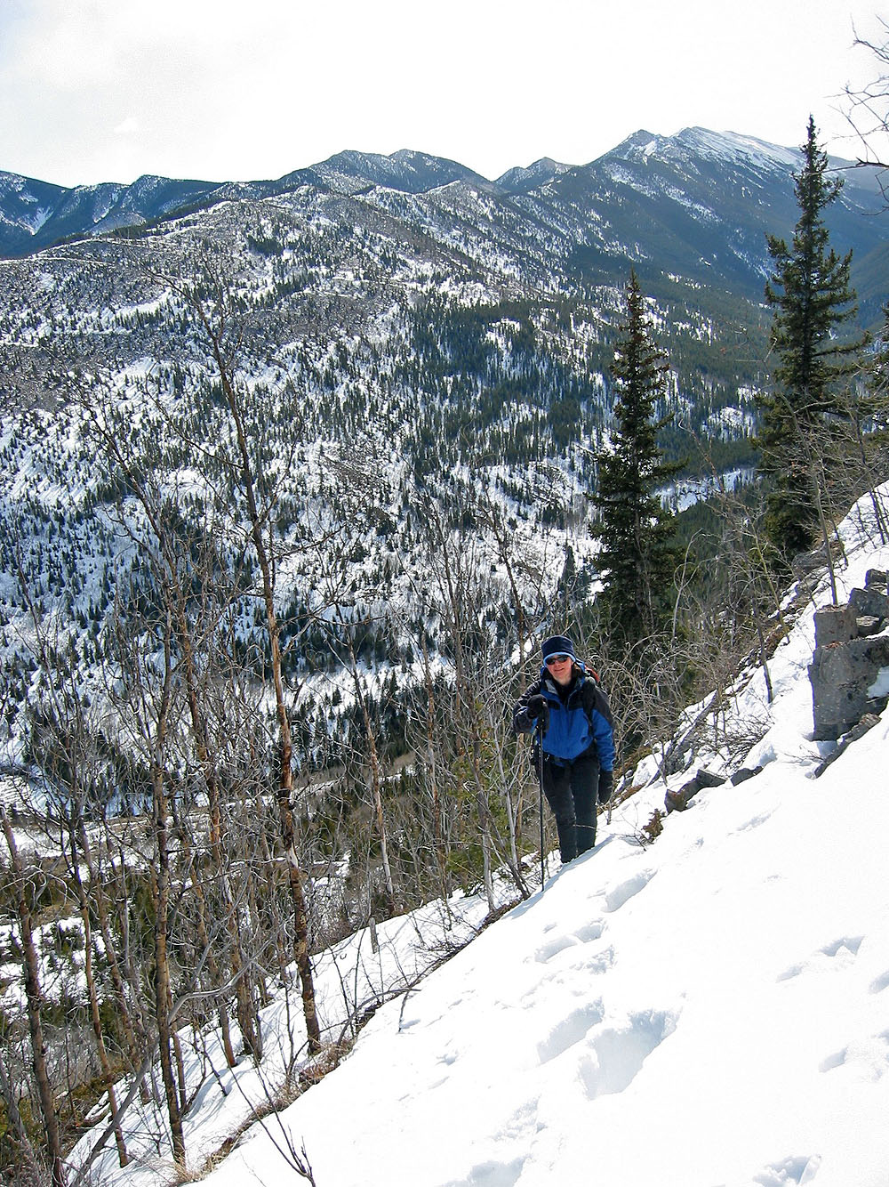
Starting up the slope
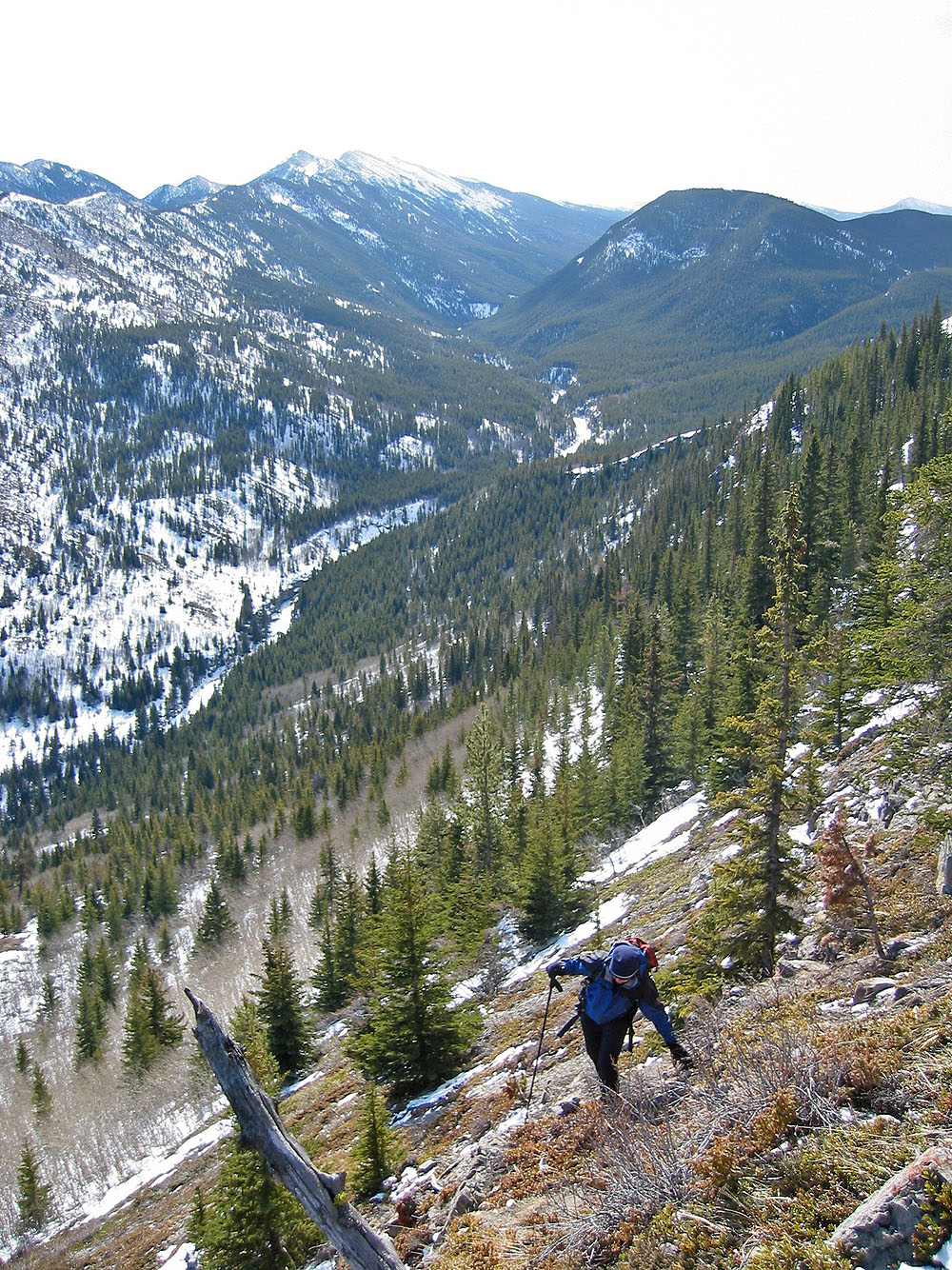
High above Cataract Creek, the grade became steep
And we hit snow
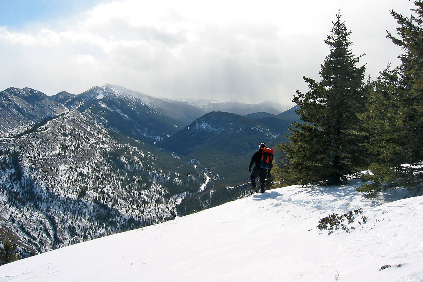
Wayne starts back down from the summit
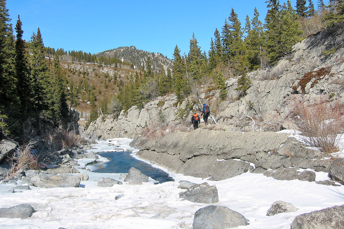
After crossing the creek we headed back to Highwood River
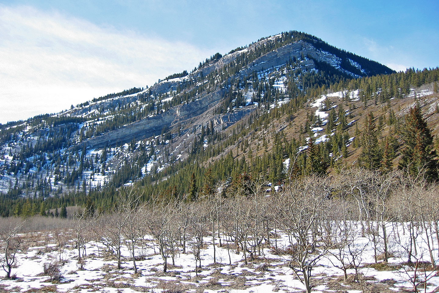
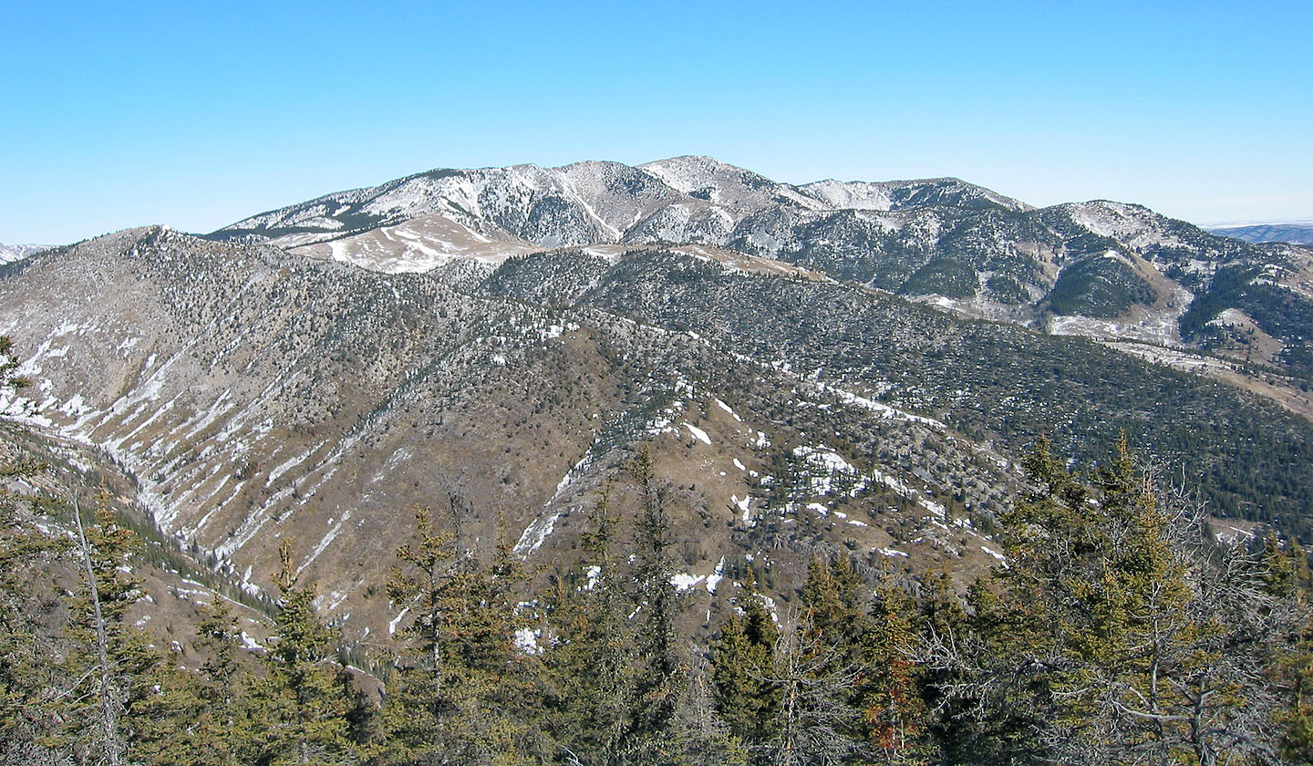
A view of Mount Mann shows cliff bands guarding the east slope
82 J/7 Mount Head