bobspirko.ca | Home | Canada Trips | US Trips | Hiking | Snowshoeing | MAP | About
Zephyr Creek Hills aka Miller Creek Hills
Kananaskis, Alberta
November 19, 2005
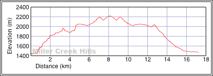
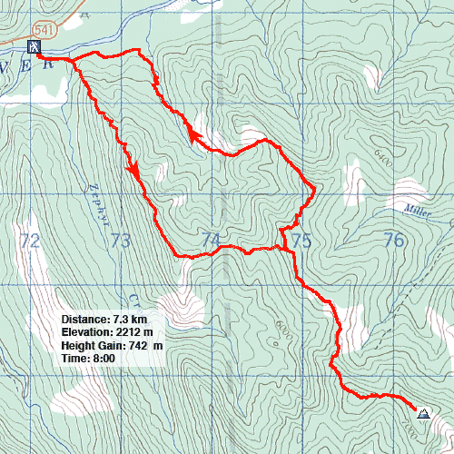
Distance: 17.3 km (10.7 mi)
Cumulative Elevation Gain: 1245 m (4085 ft)
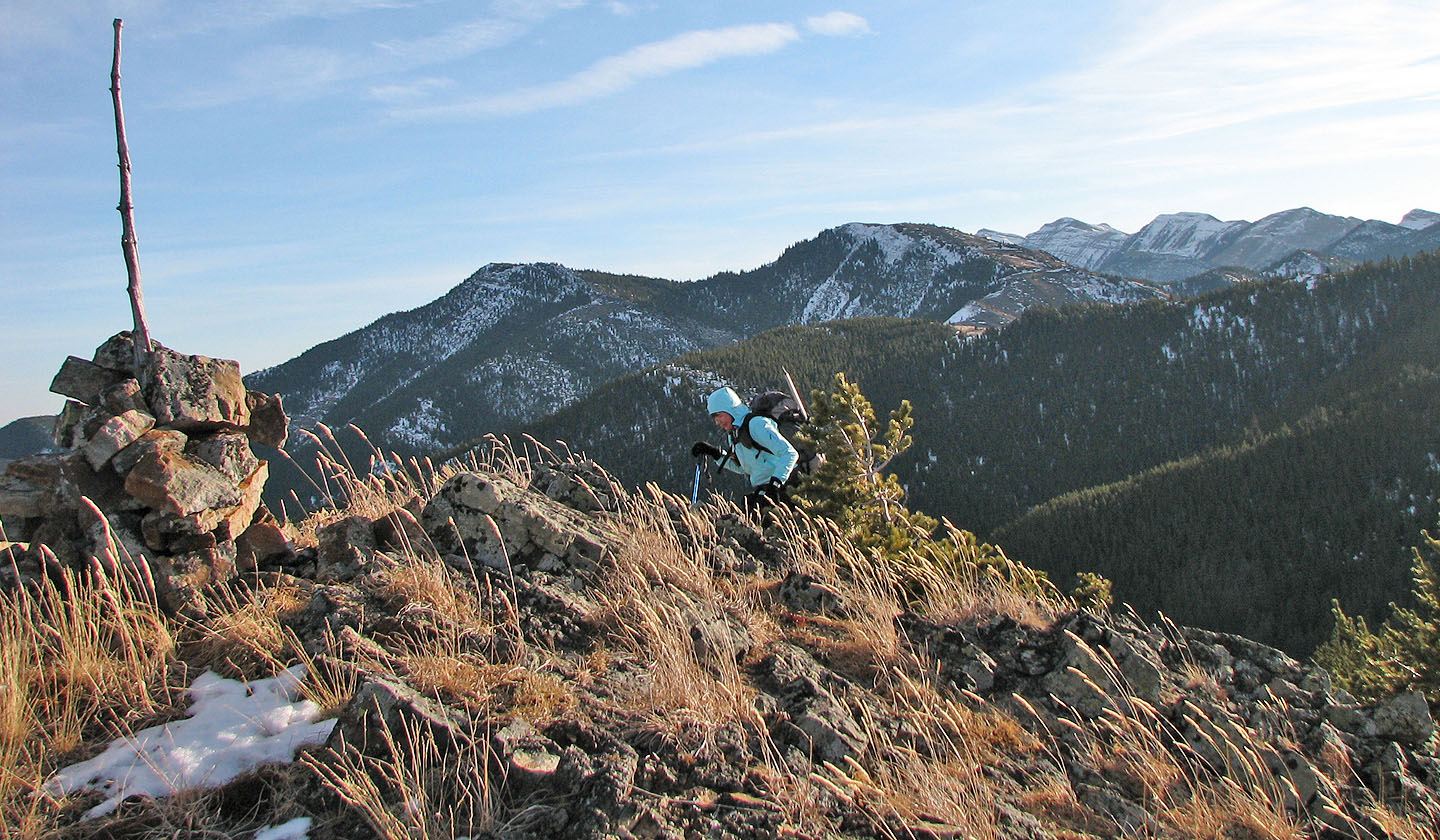
Zephyr Creek Hills made for an engaging trip especially with the benefit of doing a loop. Our trip began with crossing Highwood River and following a ridge to South Limestone Ridge above Painted Creek. Then Dinah and I dropped down 100 metres to a saddle. On the saddle we came across a trail, a hunter's trail I assumed given the recent activity on it. The trail led to another ridge that extended southeast to a high point. Much of it was open, so we could appreciate the sun and enjoy the views.
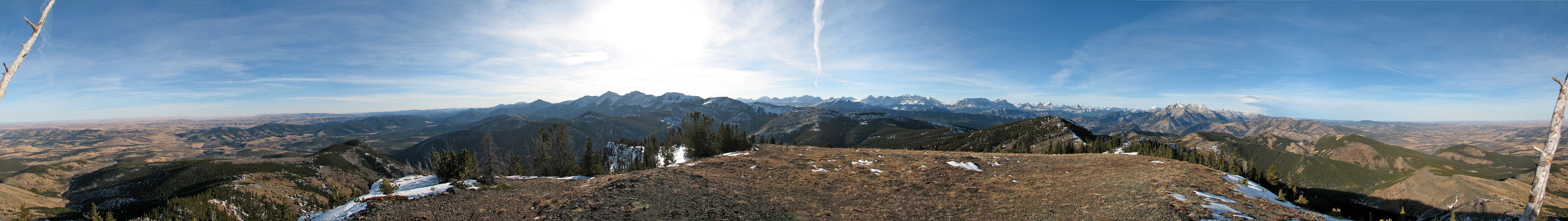
The only surprise came when we thought we reached the highest point, but it turned out to be a false summit. Several minutes later, after losing much elevation, we gained the true summit marked by a large cairn. To the east was nothing but the prairies. To the south we could make out the lookout on Mount Burke.
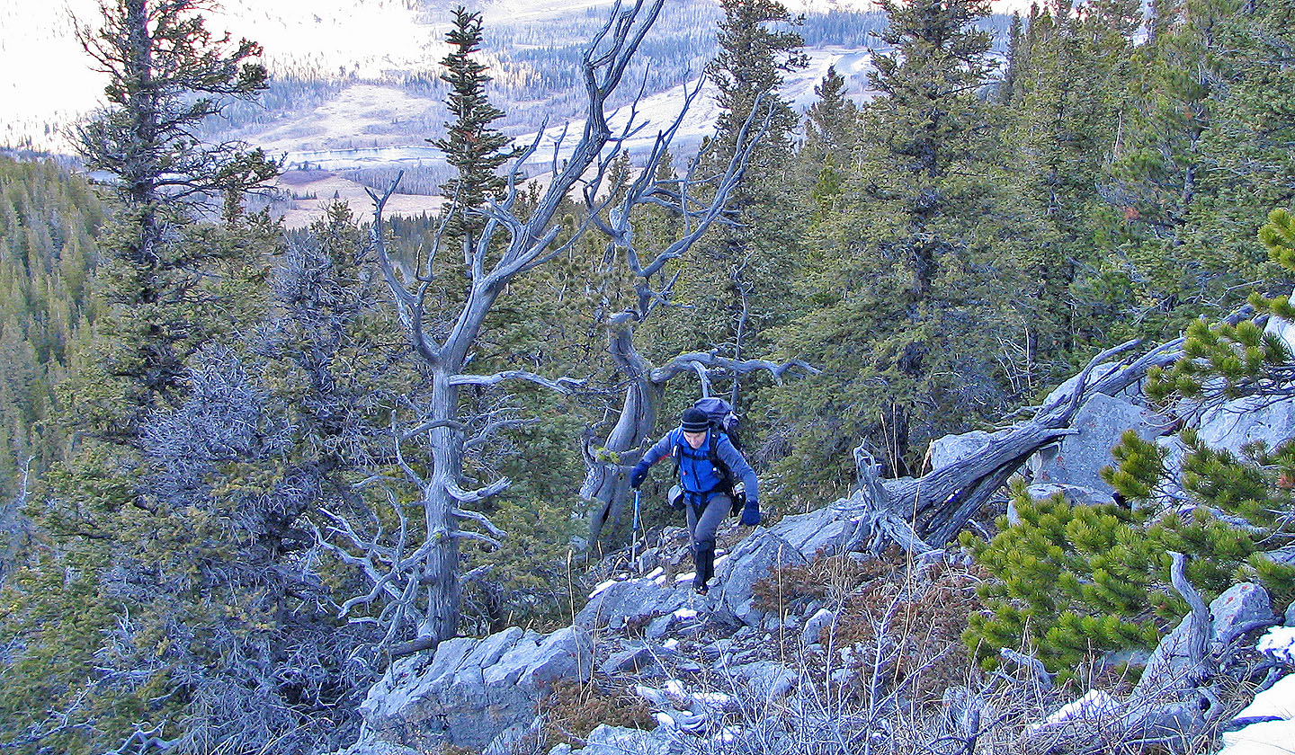
From the summit, we retraced our steps back to the hunter's trail. I expected the trail to continue north along the ridge, but instead it disappeared and we had to bushwhack. Eventually we ran out of ridge and we had to drop down and head NE to another high point, 751831.
We were surprised to find a cairn marking this peak. Then we went on to our last high point. Since the map showed open expanses on the lower SW slopes, we decided to take advantage of them rather than hike up and over the ridge. I was concerned about bushwhacking down the north side, but after descending to the gully, I looked back and realized that the ridge was semi-open. It would have been better to go up and over it.
This trip is more of a hike than a scramble, but it was an enjoyable outing given the time of year. Indeed, if this area is windblown in the winter, it may be possible to do it all year round. I'd like to return to do it in reverse and descend via Zephyr Creek or by the ridge east of it, the one we used for the ascent.
Two days later, we learned that a hunter was nearly attacked by a Cougar in the same area the day before we were. Read his account.
After crossing Highwood River (below) we started up the ridge
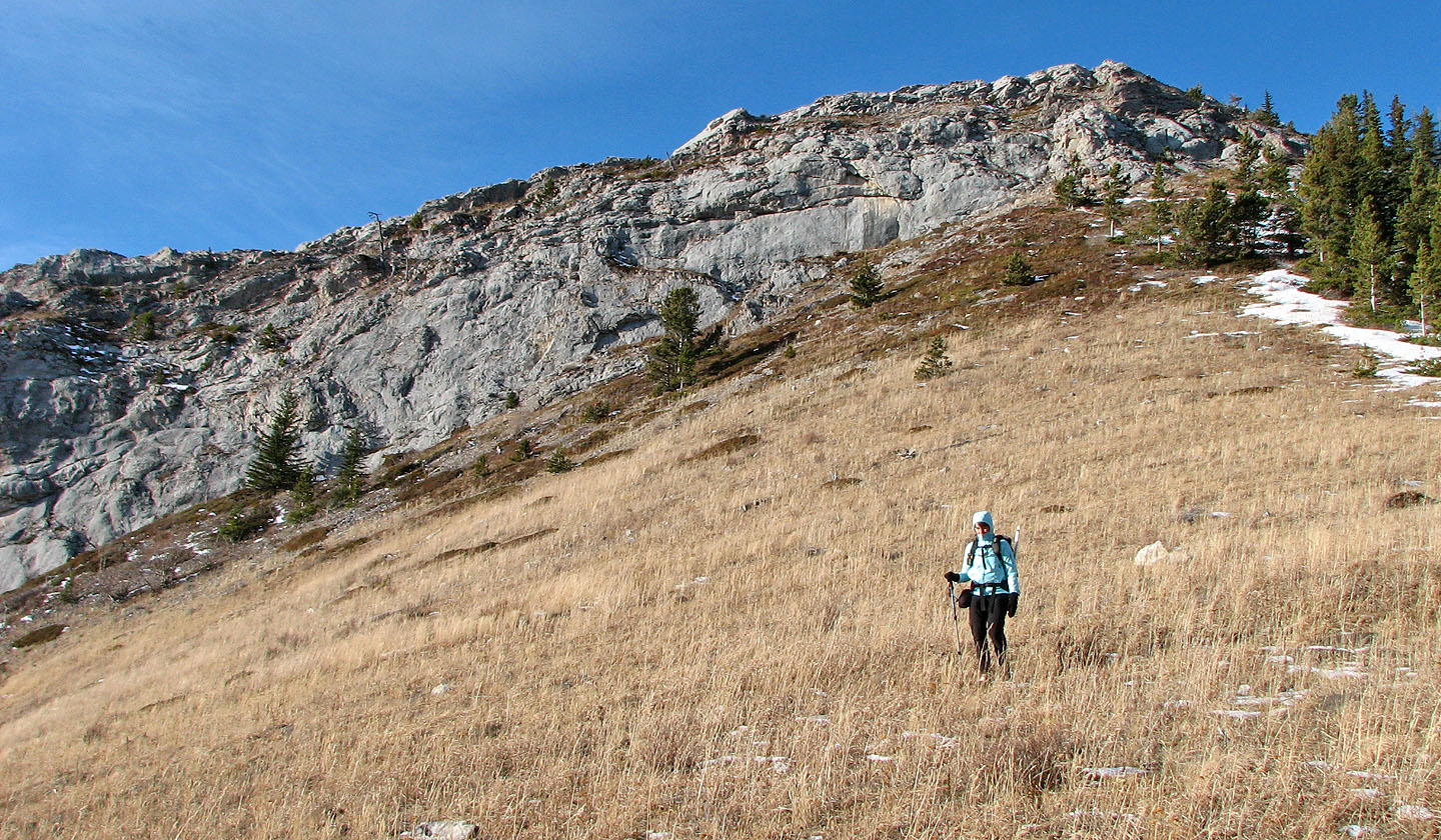
Ascending to the first high point that overlooks Painted Creek
Still going to the first high point
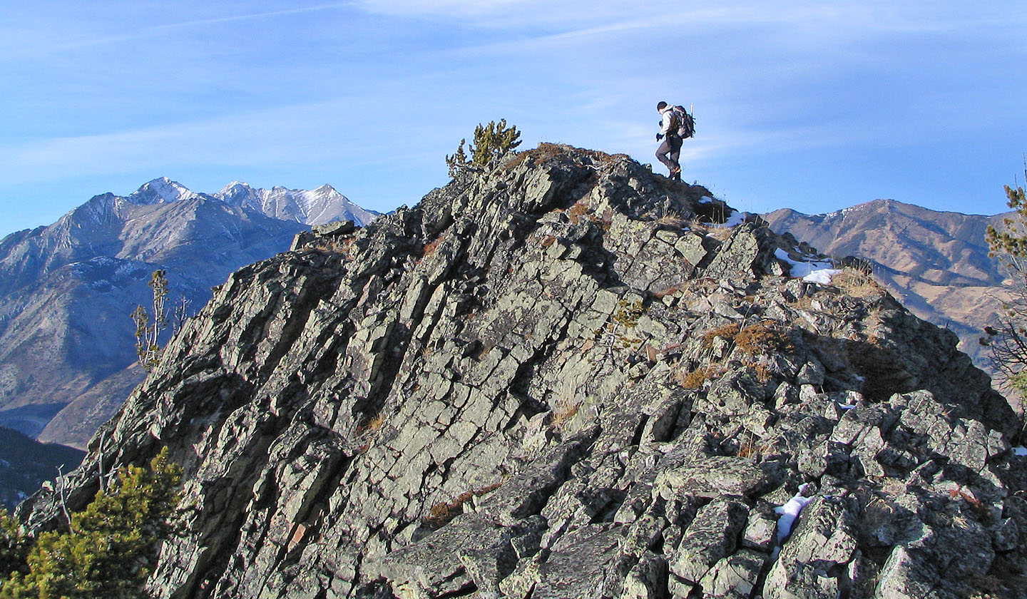
Nearly on the summit of South Limestone Ridge. Bull Creek Hills
on the right (mouse over).
Making our way down to the saddle
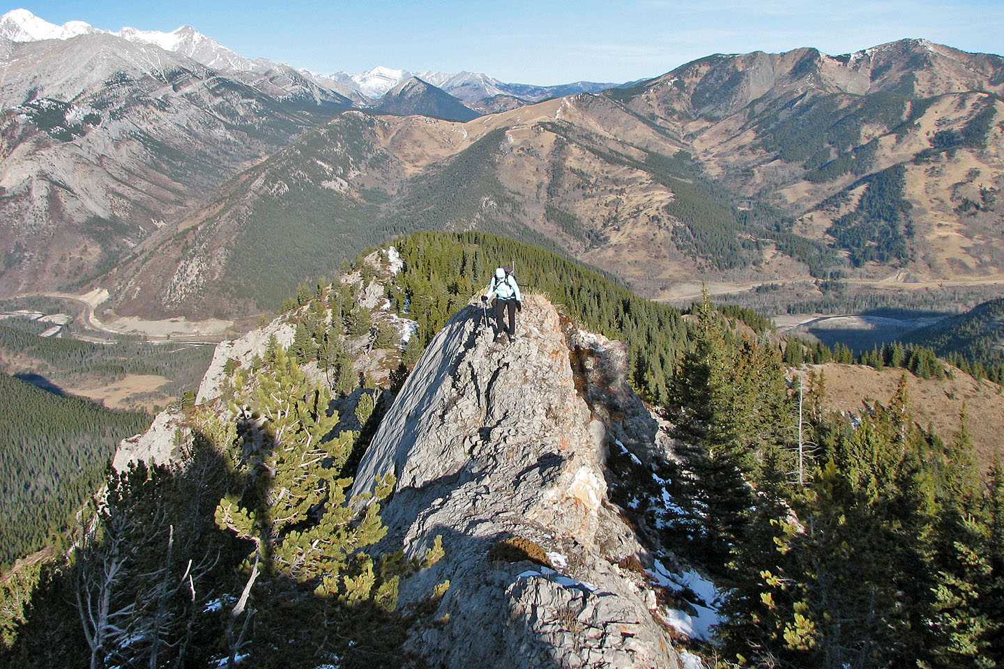
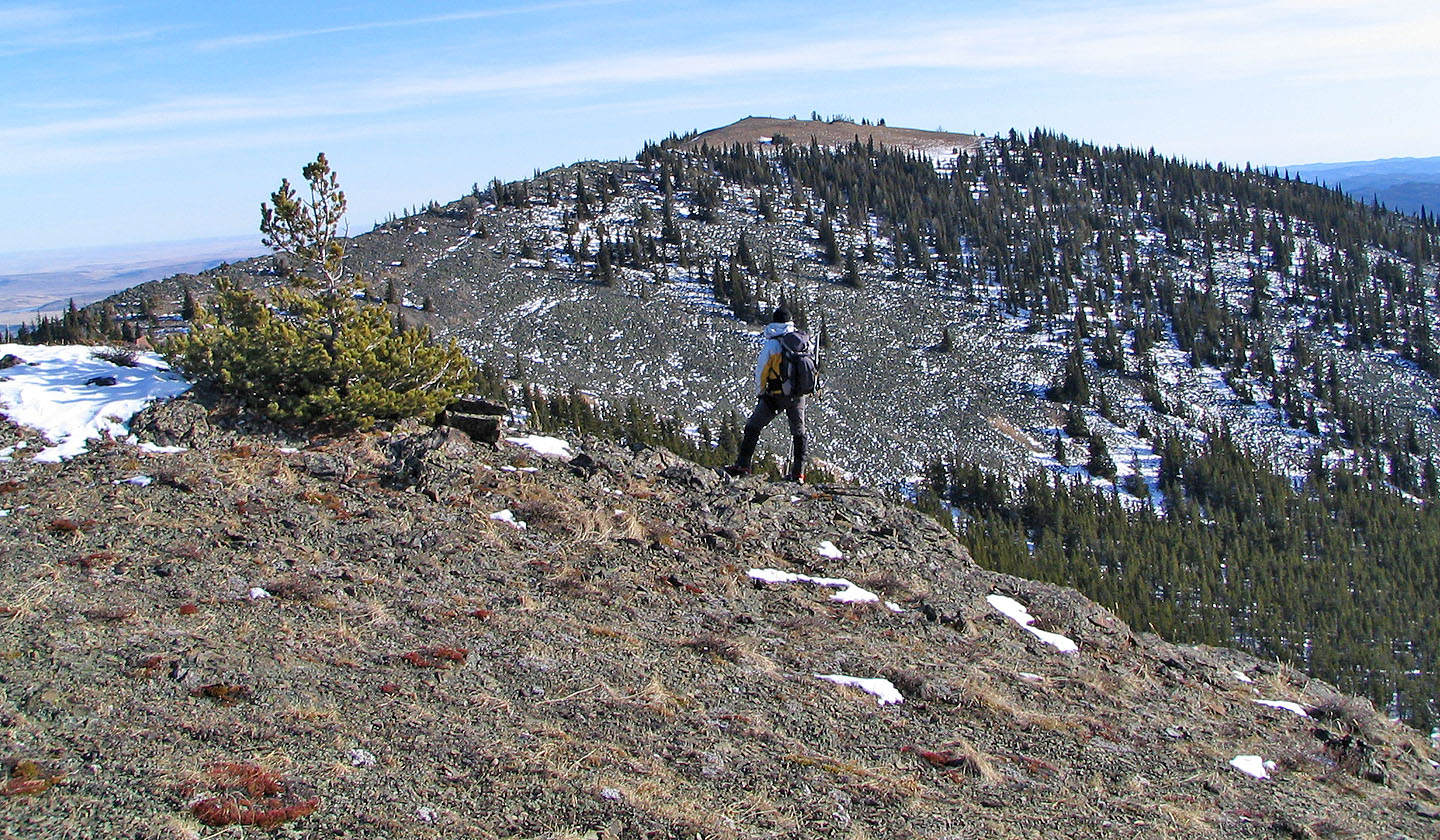
We worked our way along the next ridge
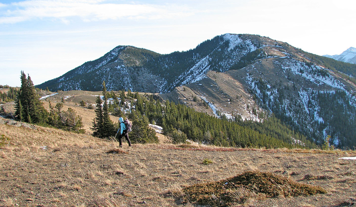
The summit is on the left
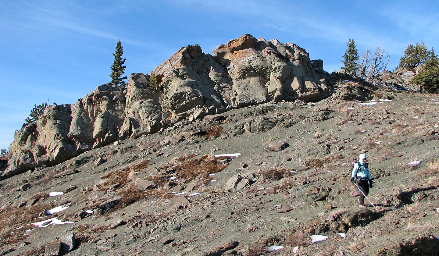
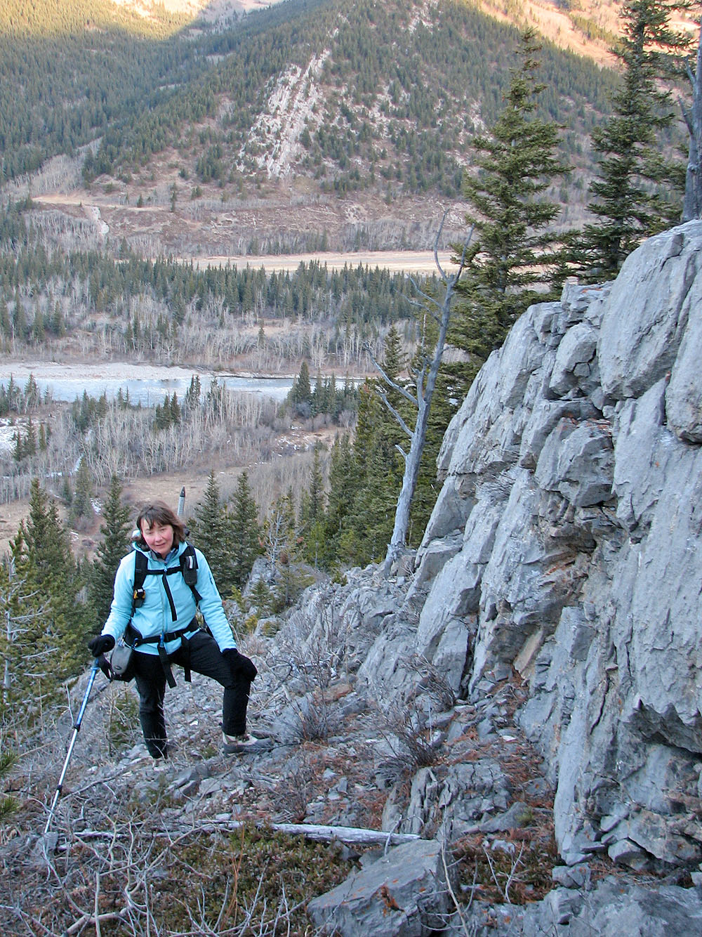
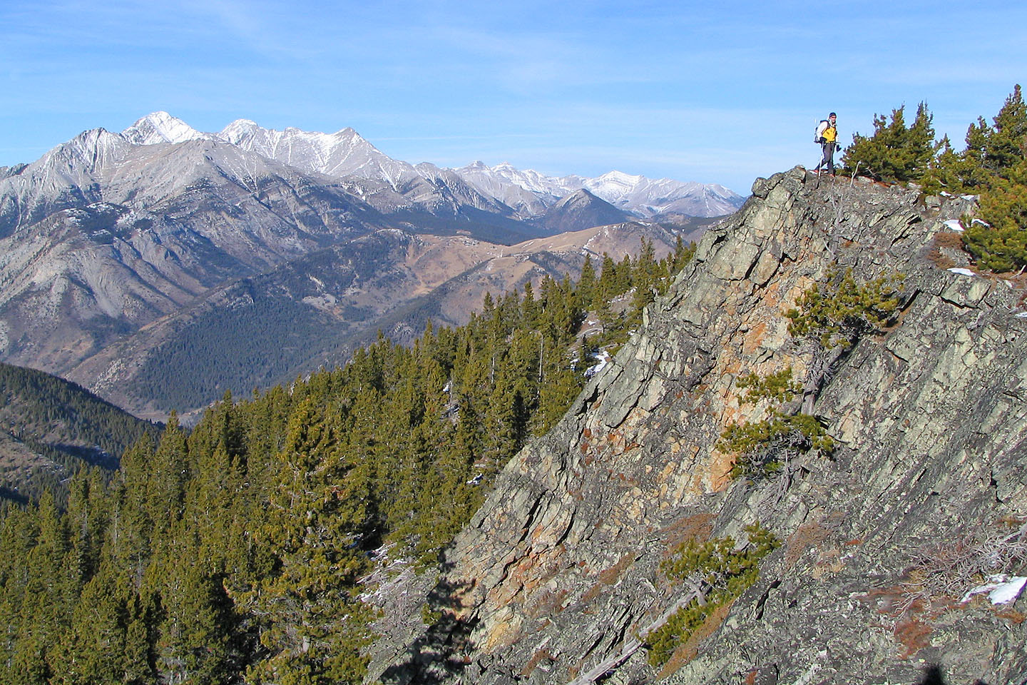
We passed some interesting cliffs
Looking back a short time later
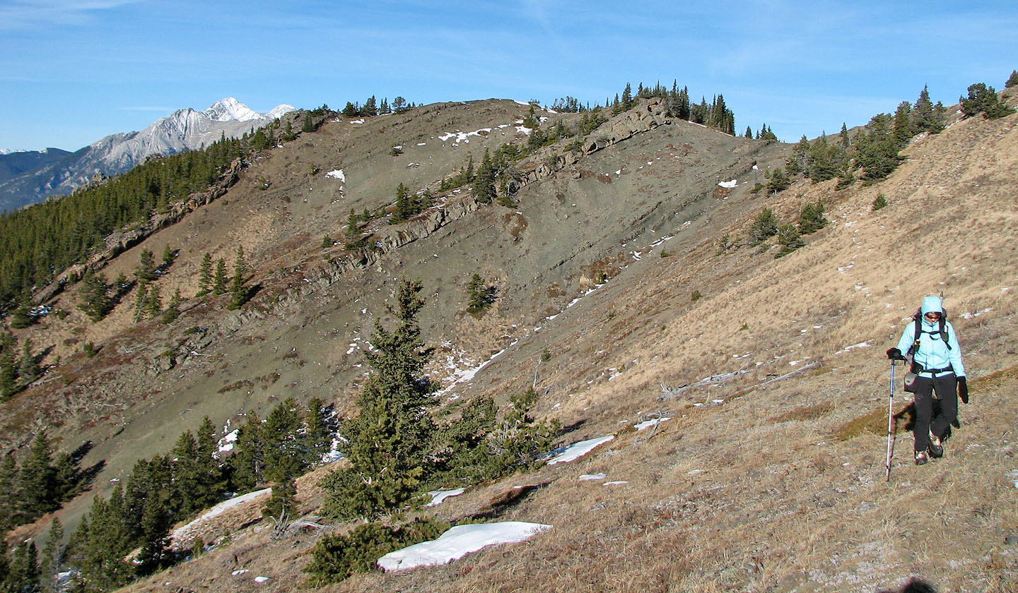
Looking back along the ridge
Looking at the true summit from the false summit
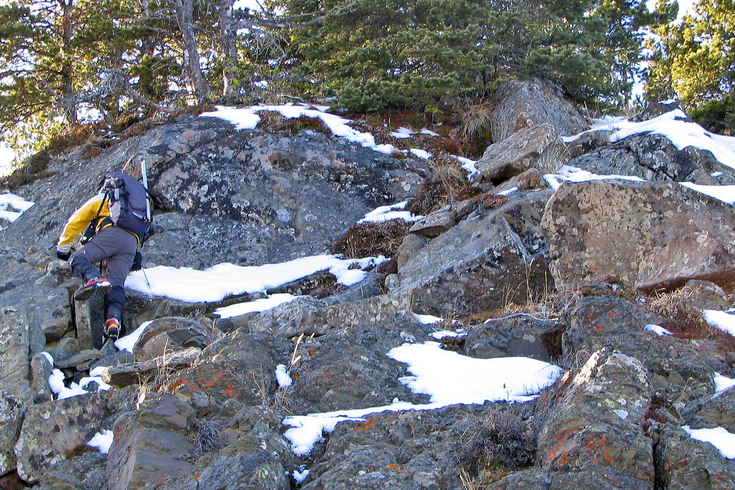
We had to do some scrambling to reach the summit
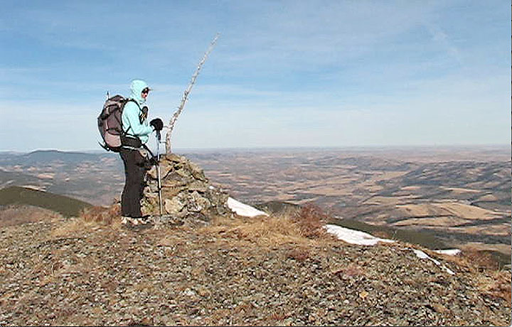
Bland view of the prairies from the summit. Calgary is 75 km away (mouse over).
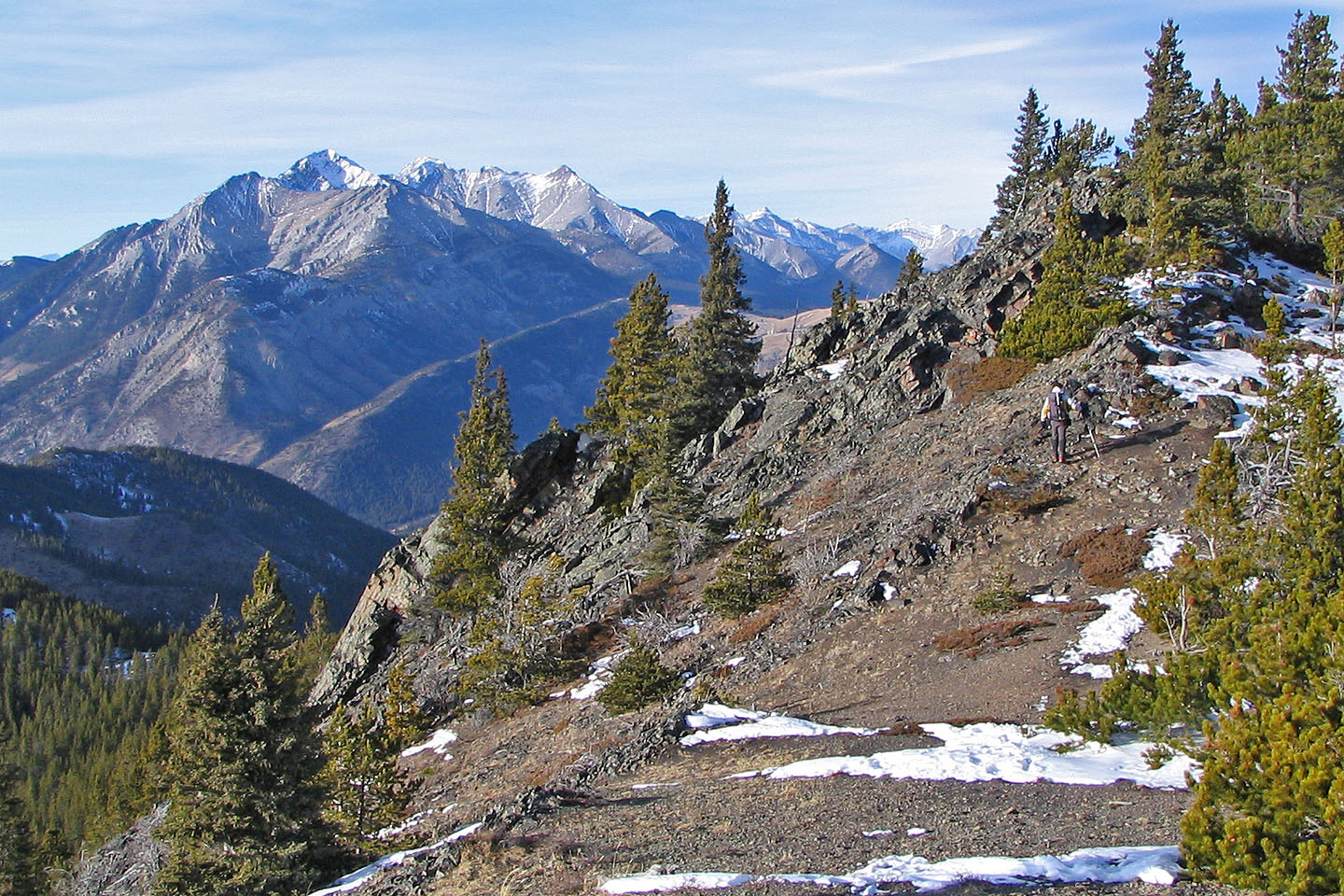
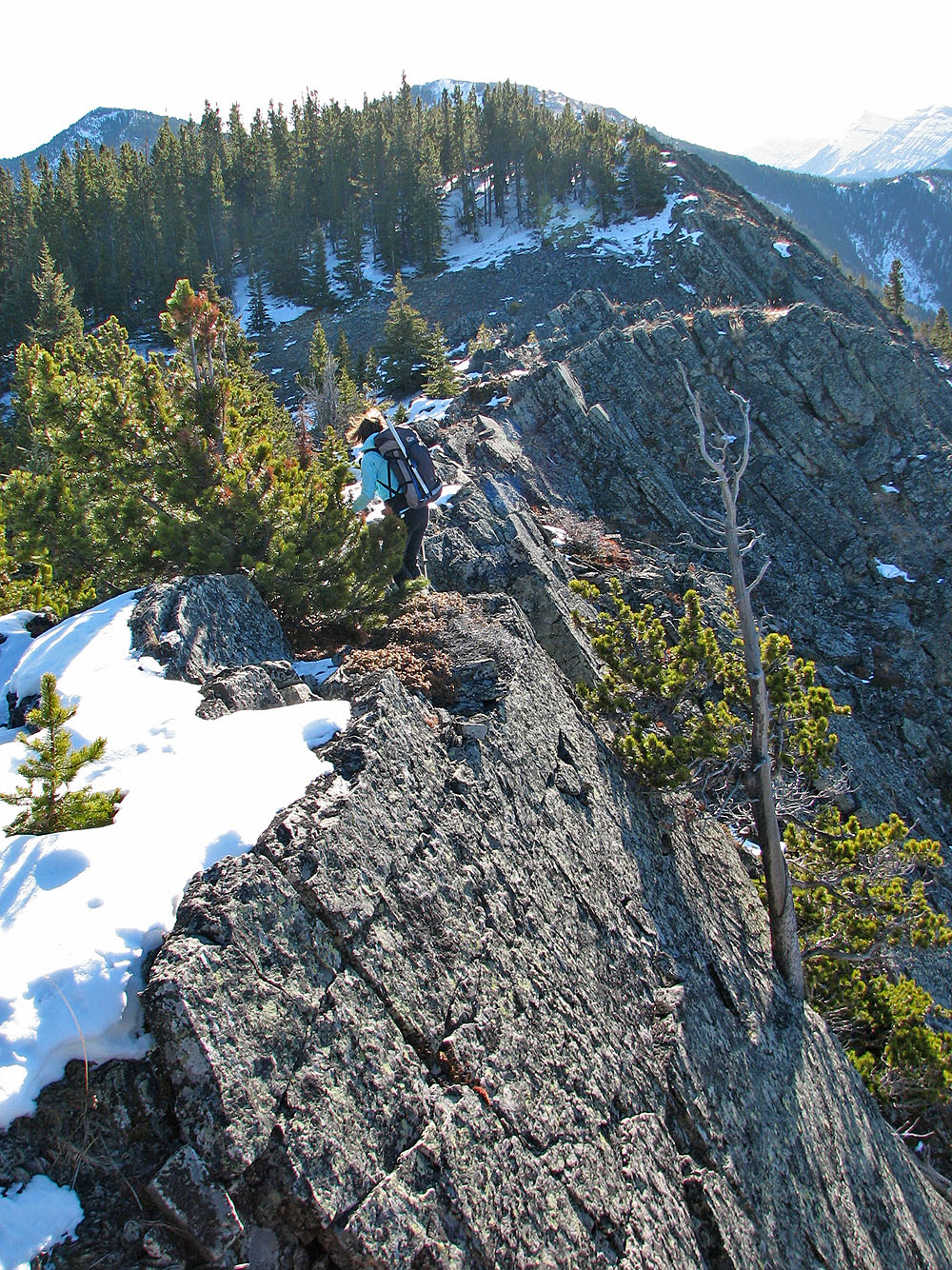
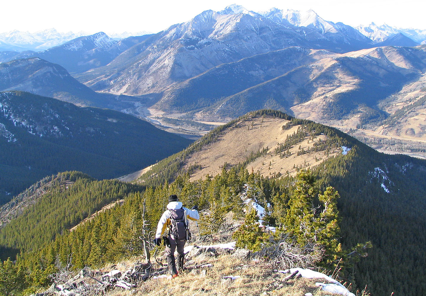
We followed a different ridge back
Heading back, Dinah reaches a high point on the ridge. The summit is on the left.
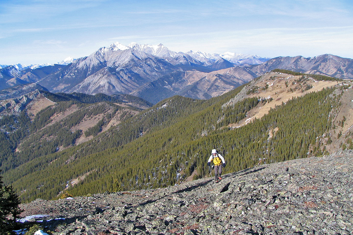
Reaching yet another high point on the way back
On the way back we avoided climbing over 43838 seen ahead here
82 J/7 Mount Head