bobspirko.ca | Home | Canada Trips | US Trips | Hiking | Snowshoeing | MAP | About
Junction Hill
Kananaskis, Alberta
May 16, 2020
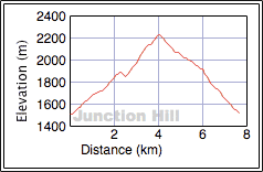
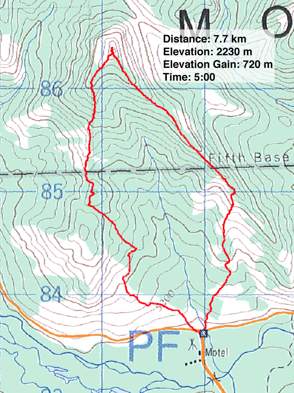
Distance: 7.7 km (4.8 mi)
Cumulative Elevation Gain: 754 m (2474 ft)
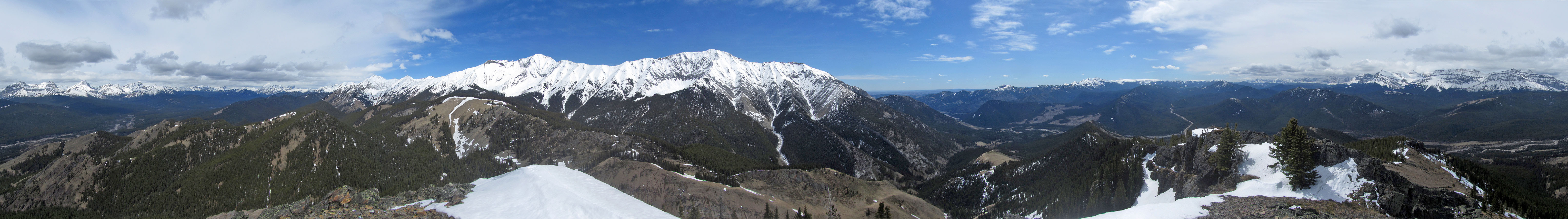
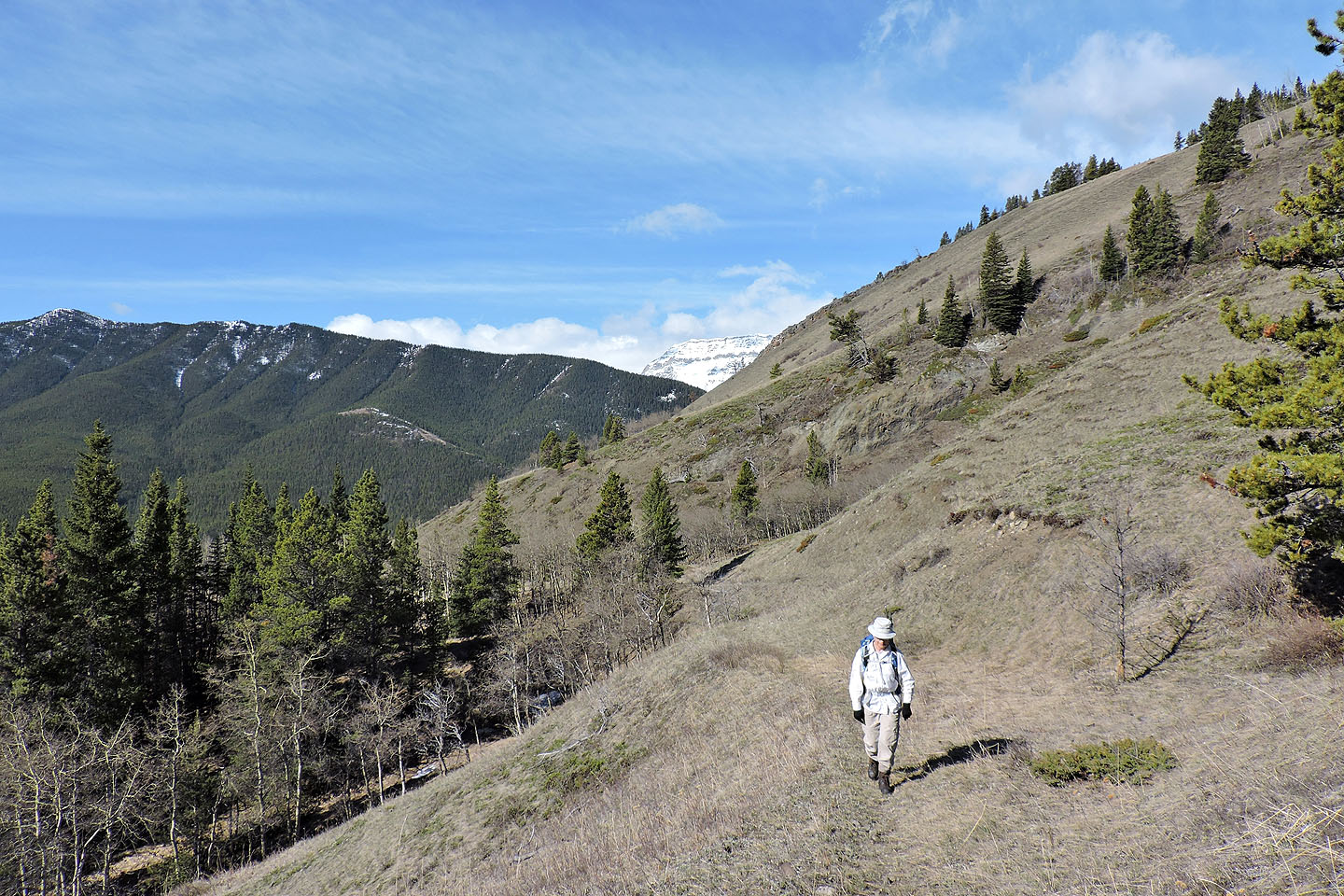
Junction Hill is a popular climb, but I expect it sees more hikers during the shoulder season when the back range is blanketed with snow. I've been up Junction a few times, but always when it holds some snow. This time was no different: Zora and I postholed near the summit. And from my experience, the trip favours a clockwise loop, ascending the southwest ridge and descending the southeast ridge.
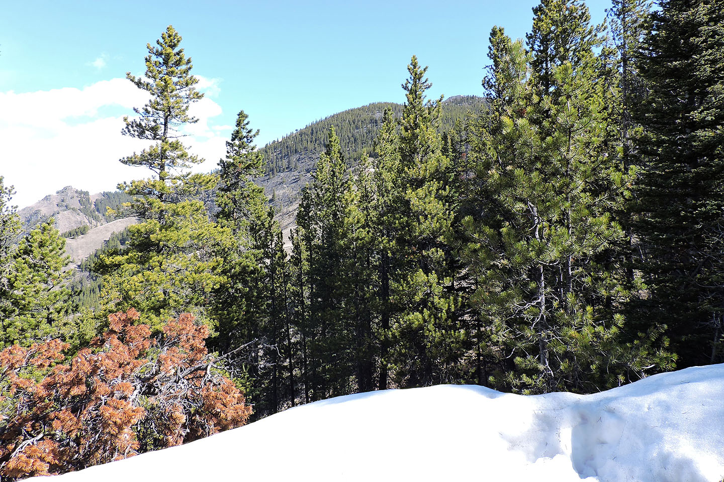
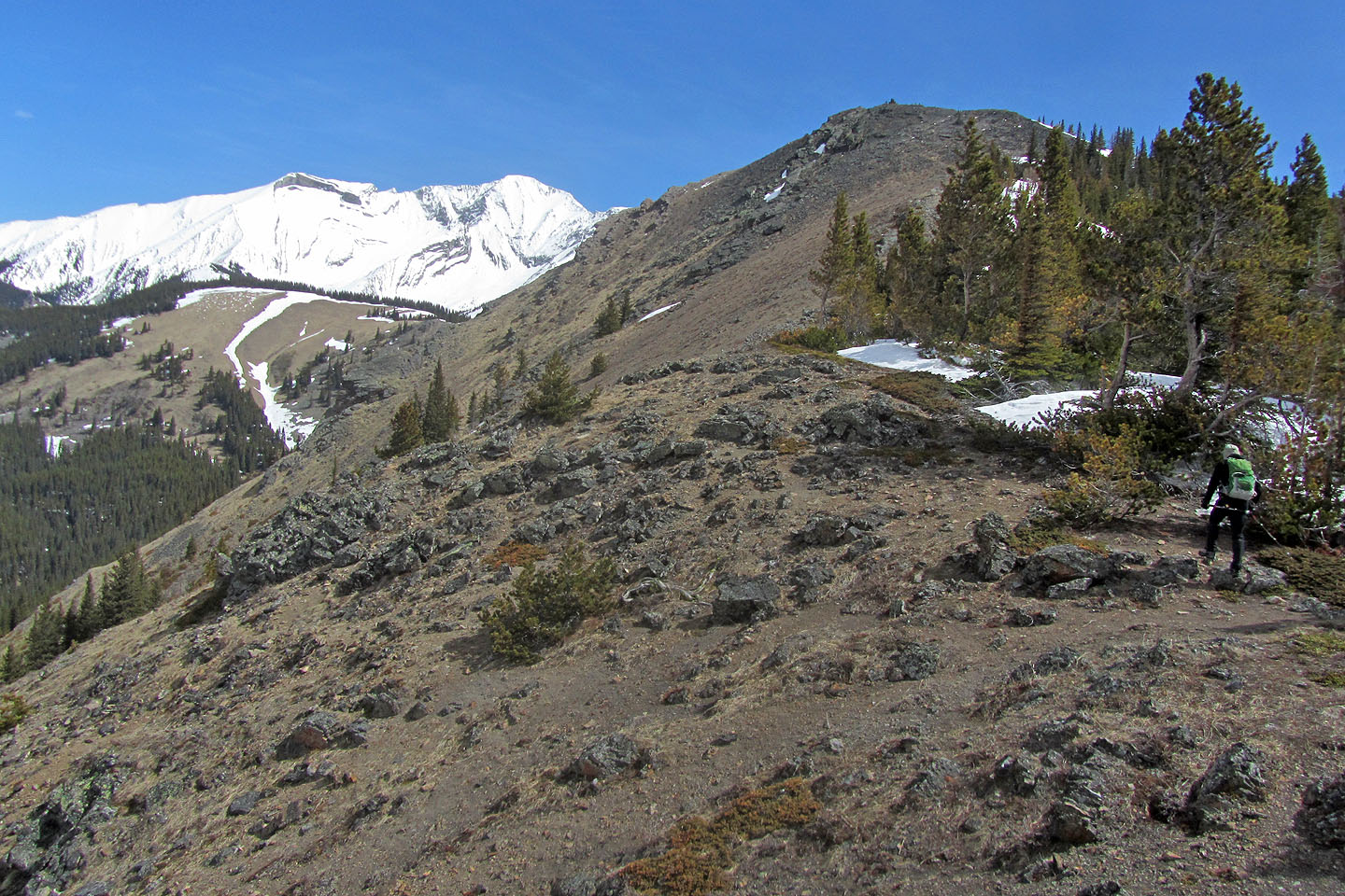
We parked at the seasonal gate, now closed. We started on a trail, but it soon blended into a meadow. In fact, most of the slope is a meadow, and we quickly ascended. We headed toward the bare hill in front of us, the southwest ridge overlook. But as inviting as it looks, we bypassed it. There's an easier way to reach the ridge crest: an exploration road leads to a col behind the overlook. We swung right and soon intersected the road. Like a broad, pleasant path, it climbed to the col.
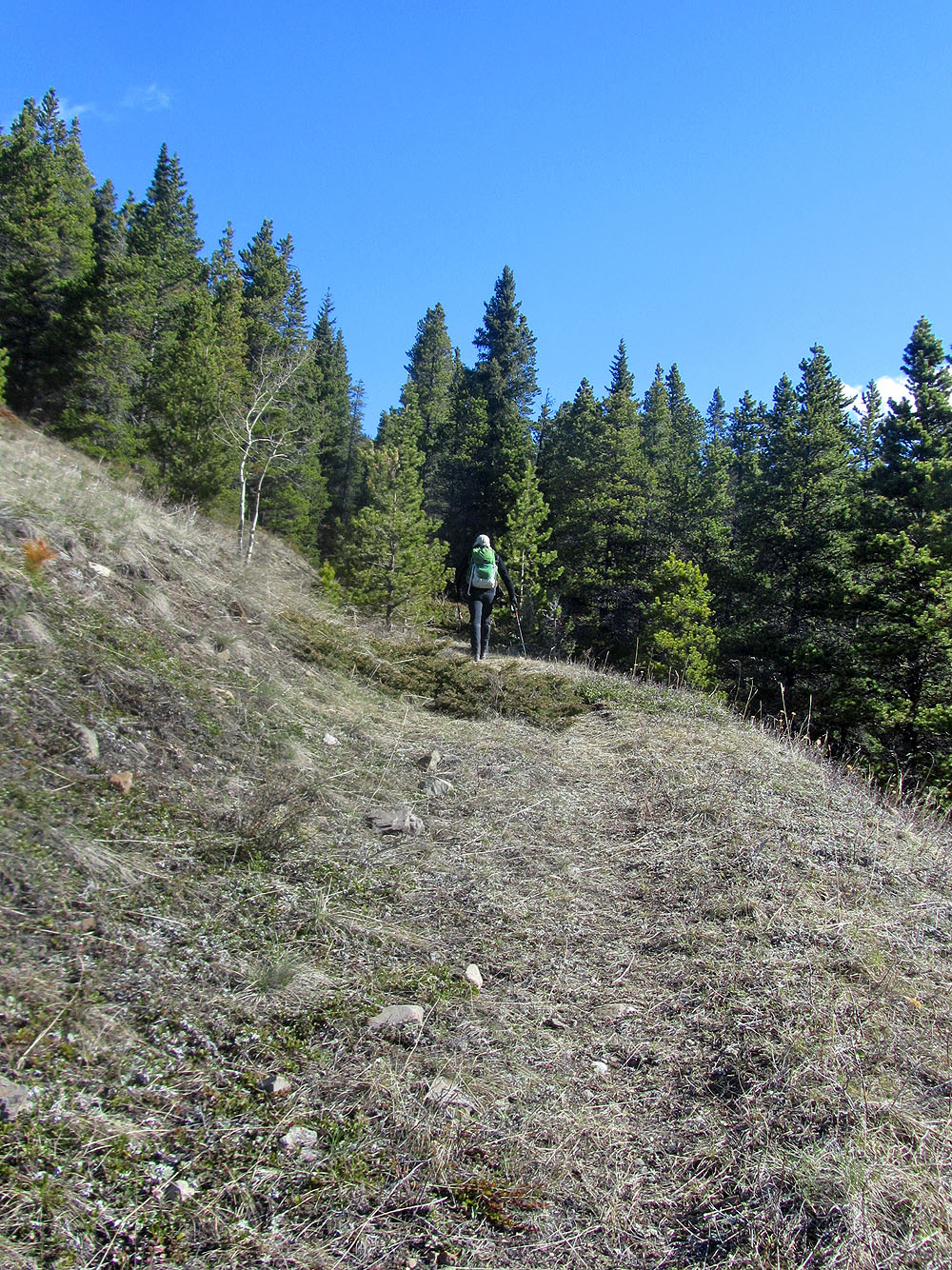
From the col, a trail starts up the ridge, but it soon ends. We continued mostly offtrail up the ridge. We rambled along meadows, trudged up talus, and threaded through a snowy forest. Before long, we arrived on the pointy top of Junction Hill.
Although we basked in bright sunshine, it was too cold and windy to linger on the summit. We started down the southeast ridge.
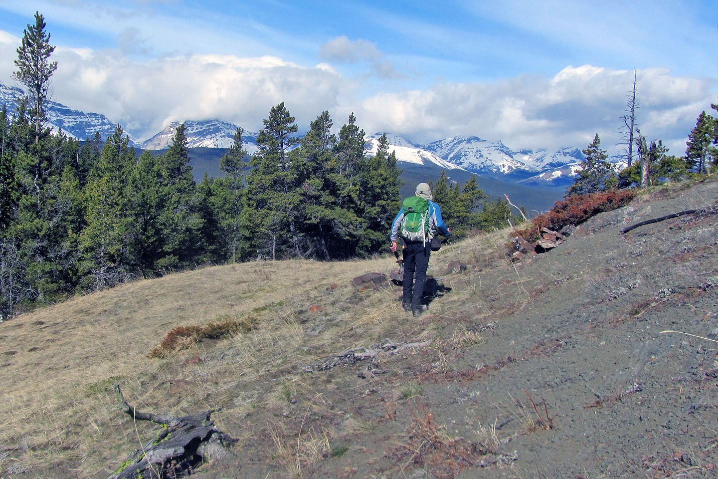
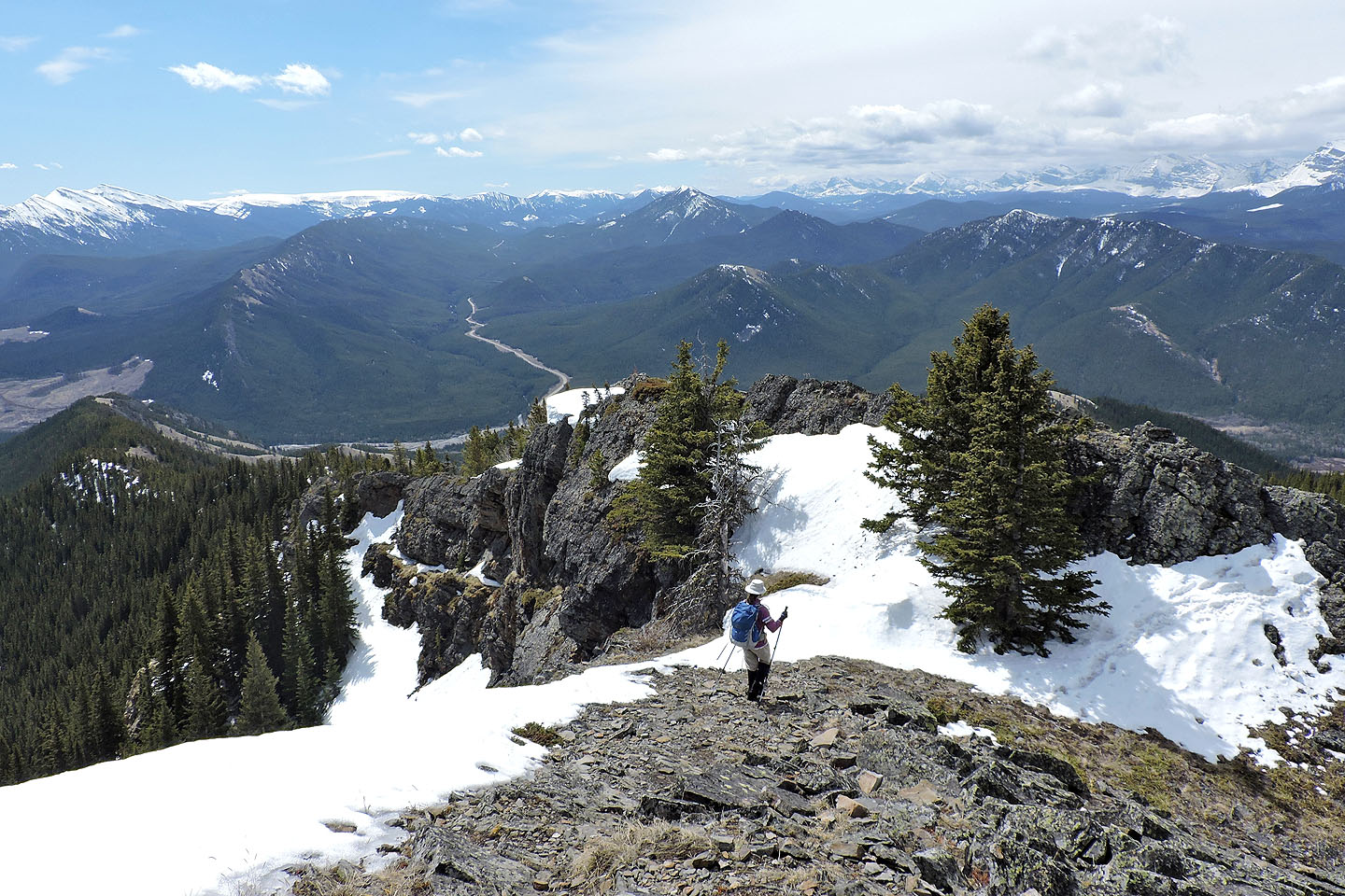
Unlike the broad southwest ridge, the narrow southeast ridge is easier to follow. There was little guesswork as to where to go, and we were able to keep close to the crest. We either hiked on stable rocks or glided down needle-covered paths. The southeast ridge lacks the big clearings of the southwest ridge, but small glades provide viewpoints.
To get off the ridge, we looked for a break on our right in a black cliff band. At a low point, we found a trail dropping down to the apex of a long meadow. We hiked down and eventually ran out of meadow, but by that time we were only a few hundred metres from our cars. We strolled through a light forest back to the gate, and back to a highway now lined with several dozen parked cars. However, likely most people were here to cycle up Highway 40 which was closed to cars and not to climb Junction Hill.
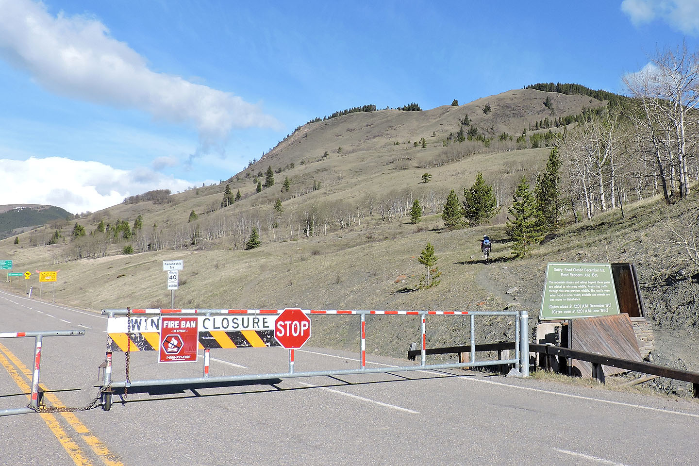
Starting up Junction Hill from the seasonal gate
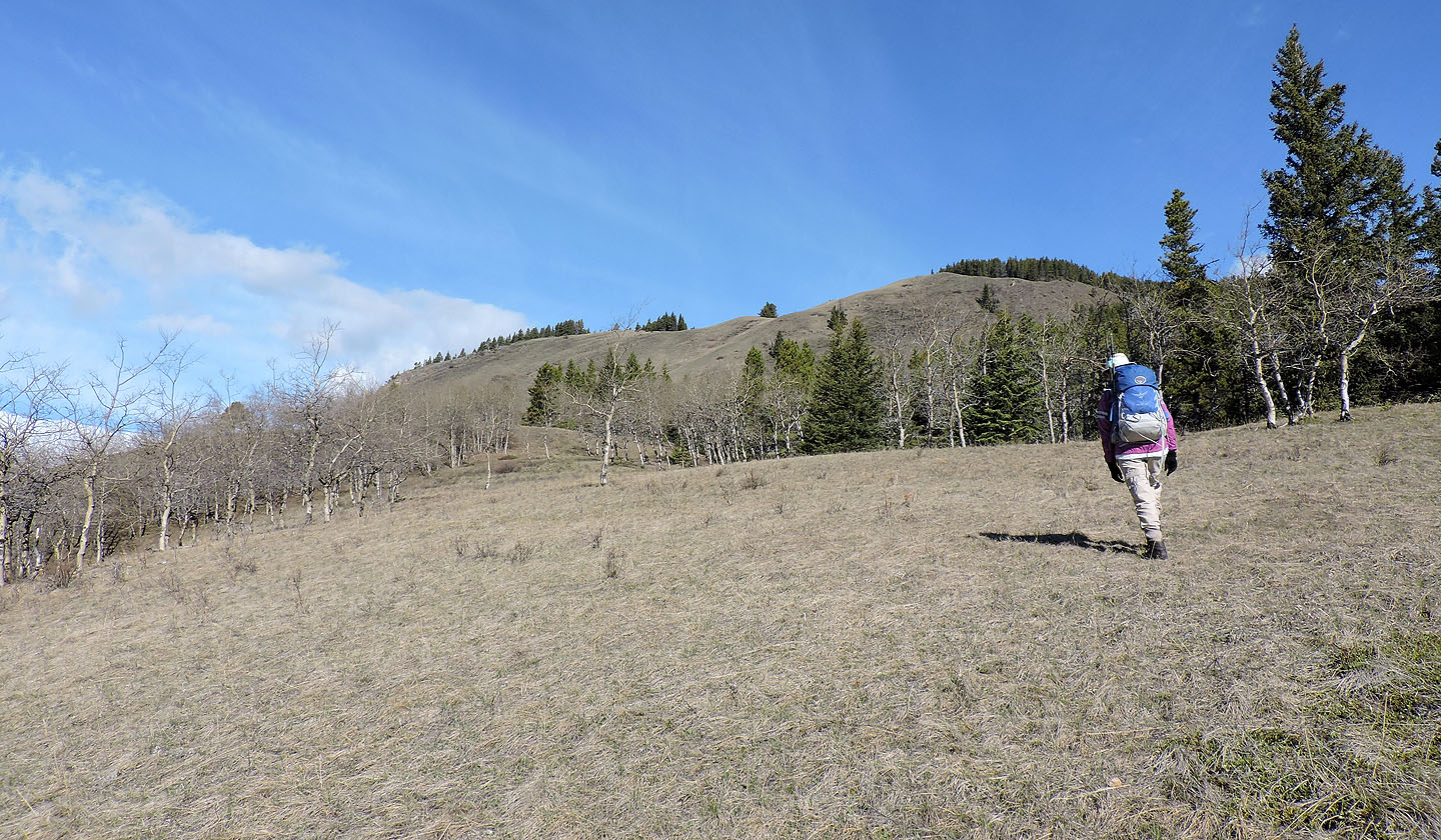
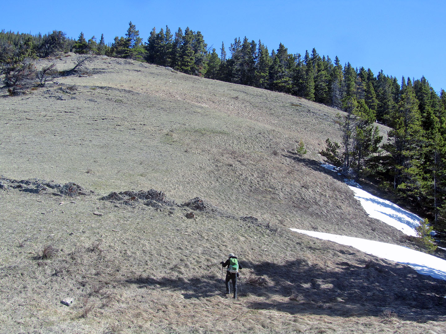
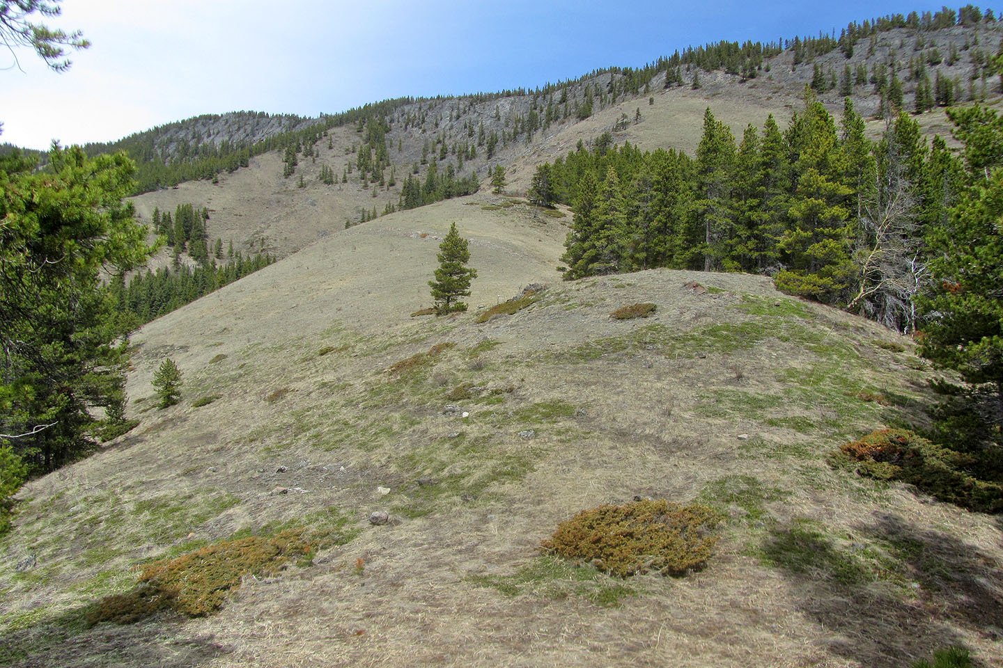
Sticking to meadows, we made our way up the slope
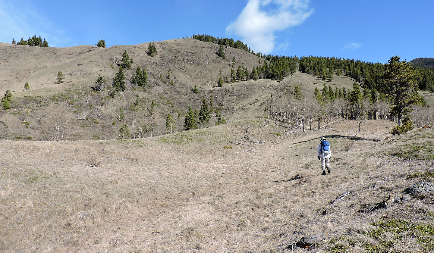
Ignoring the open slopes that lead to the south ridge overlook, we struck out for an exploration road on the other side of the trees in front of Zora
Hiking up the road
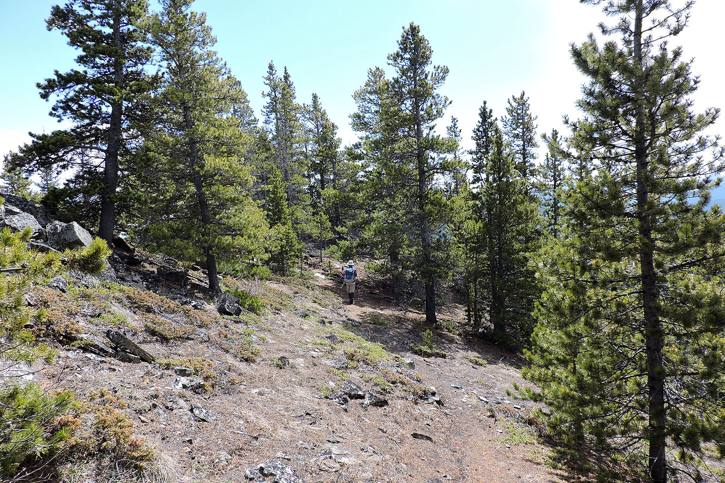
The road enters the forest
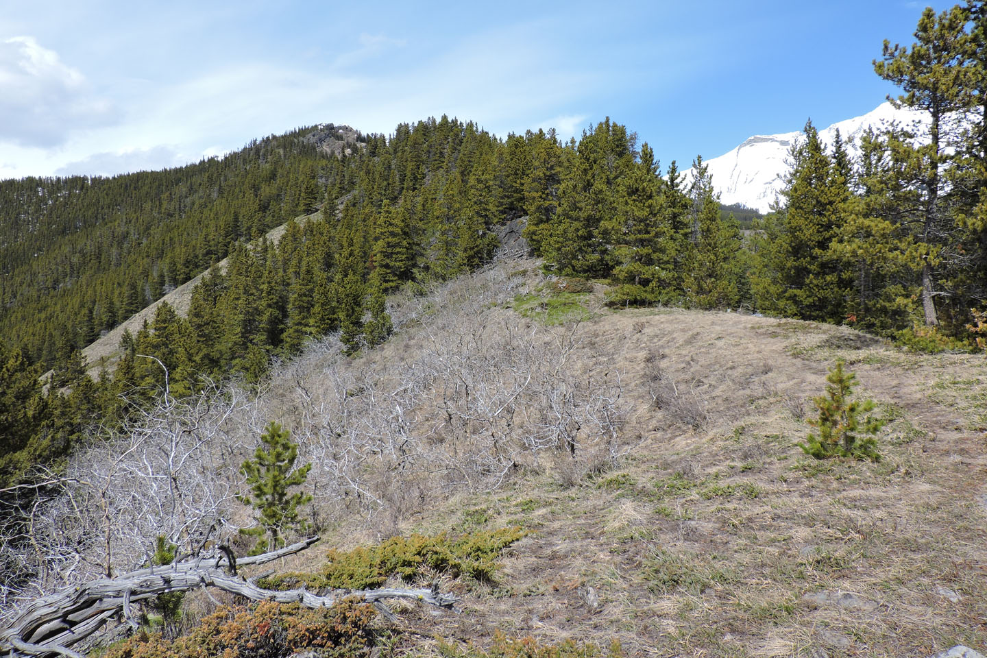
At the saddle, a path on the right continues up the ridge
Before a drop on the ridge, we got a glimpse of the summit through the trees
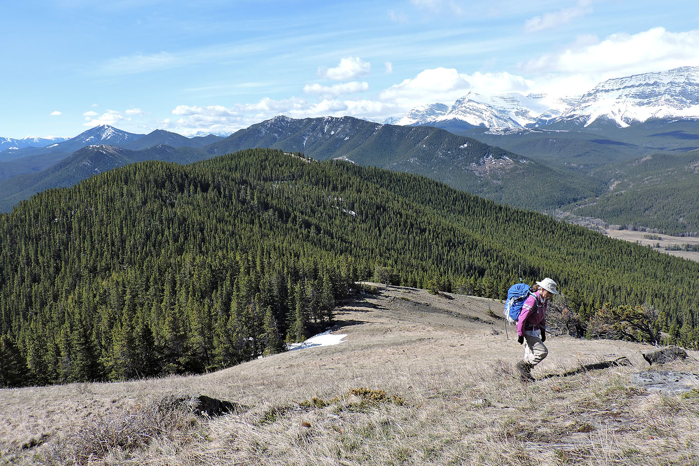
We reached the first of a few clearings on the ridge
Looking back from the top of the clearing
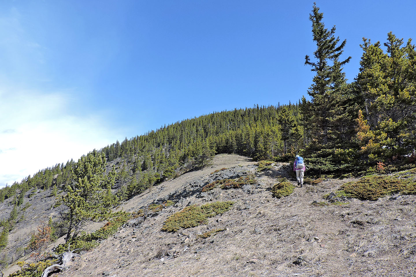
We'll soon be back in trees
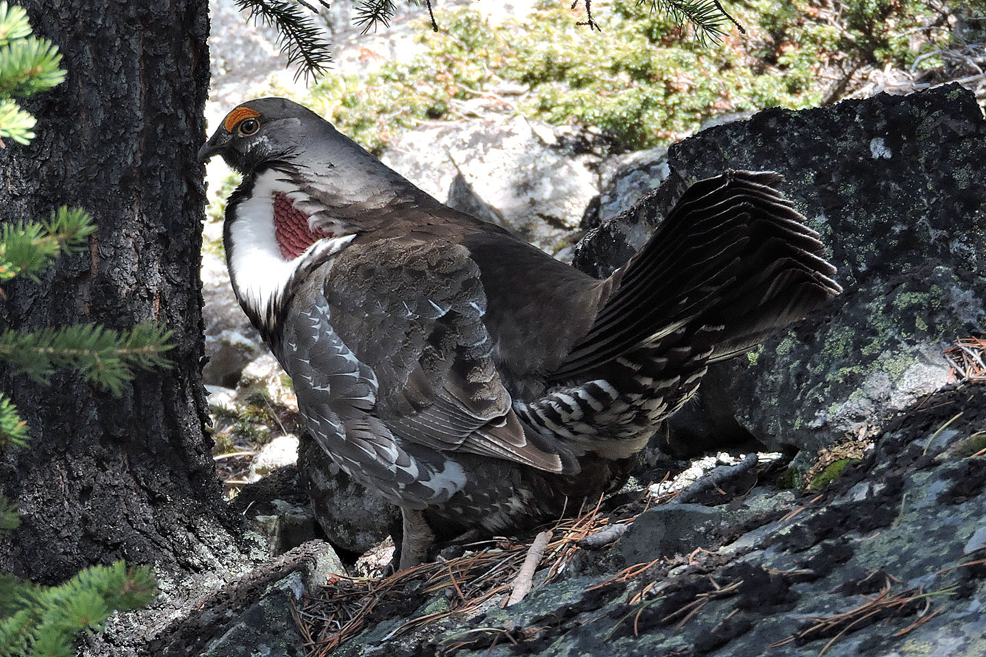
Male spruce grouse in courtship display
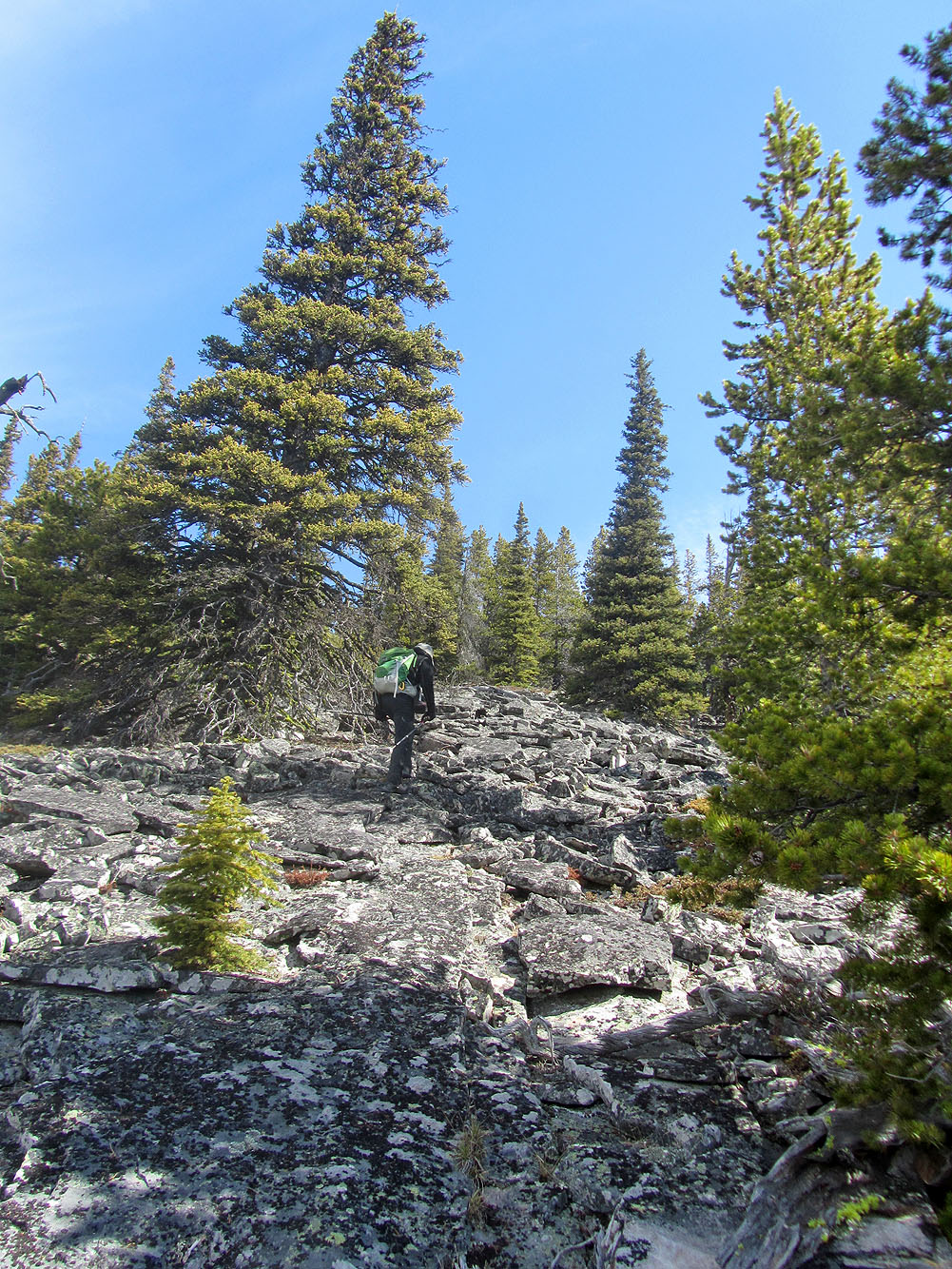
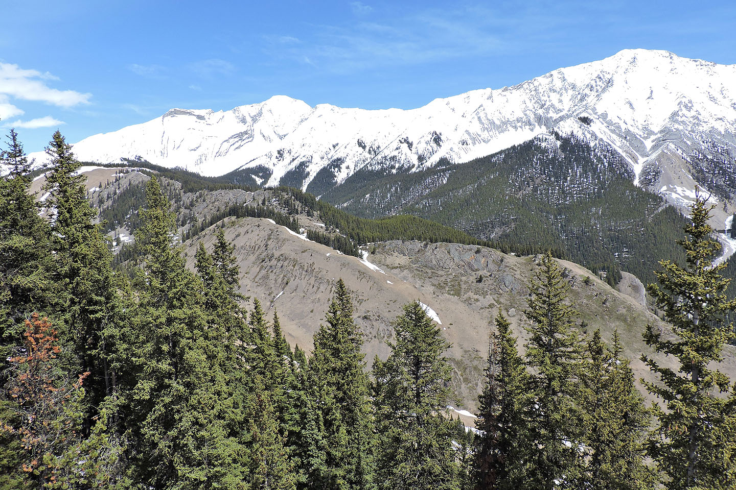
The talus extends for quite a way
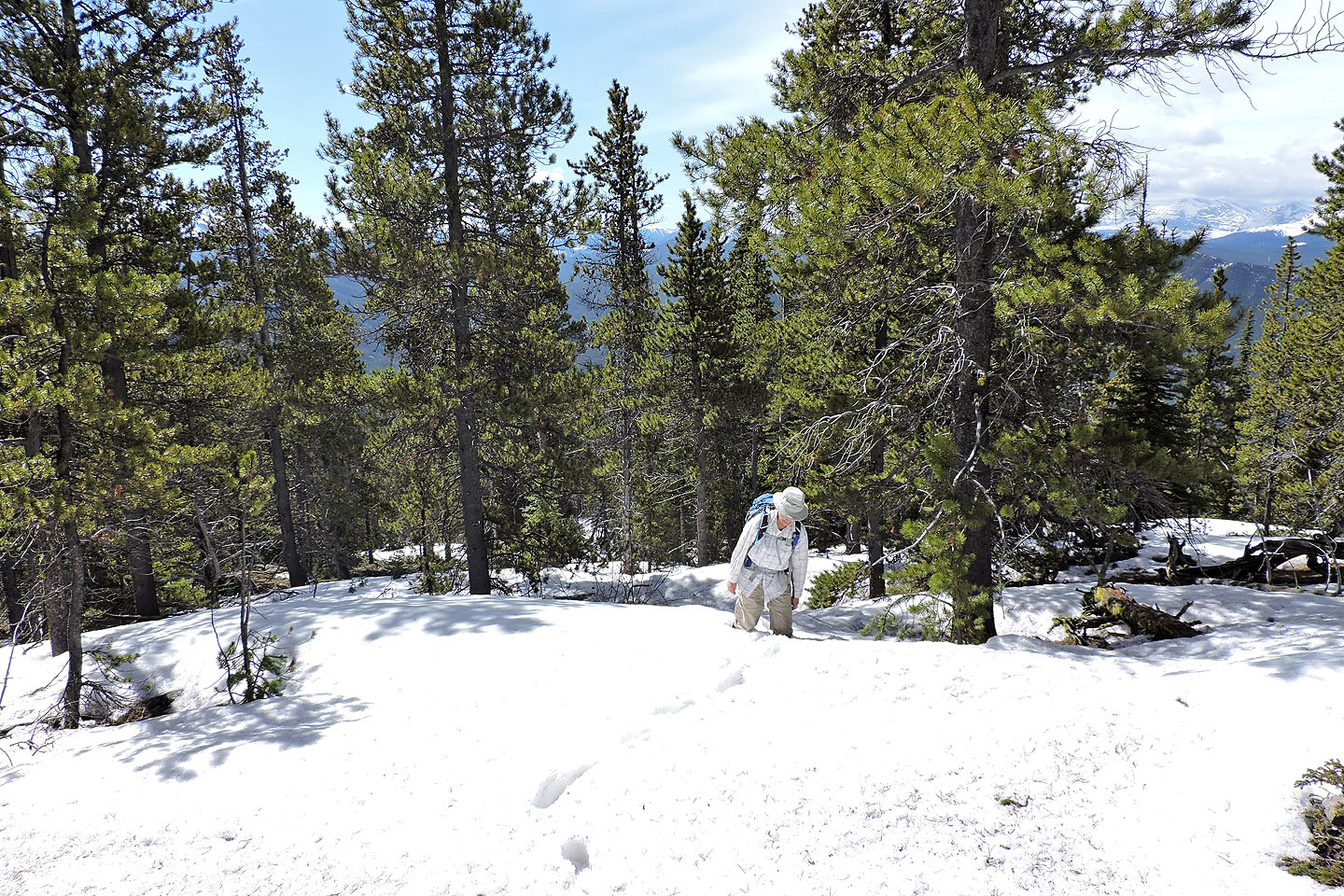
Then we hit deep snow
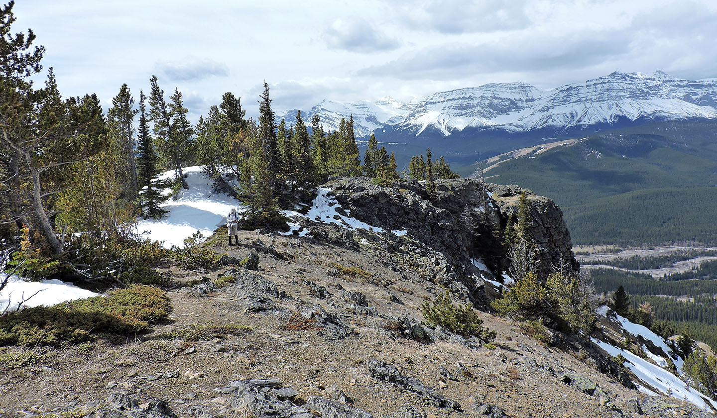
After pushing through the snow, we welcomed the sun-exposed, windswept ridge
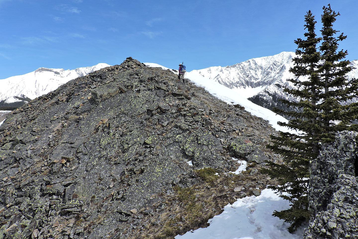
The summit came into view
There's a brief downclimb before the summit
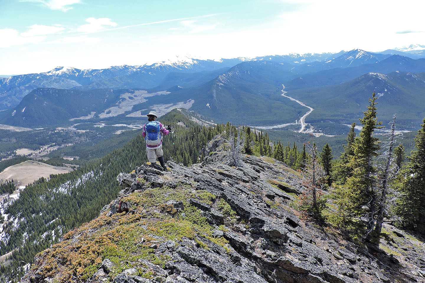
Zora walks to the top of Junction Hill
After a short stay, we started down the southeast ridge
The ridge is rocky at first
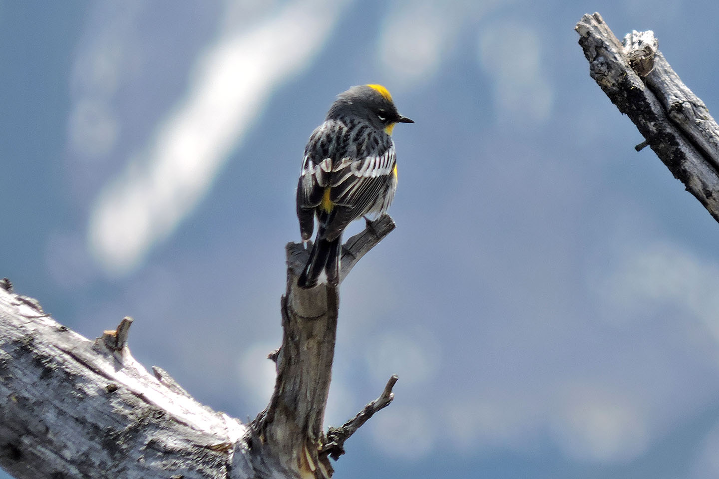
Yellow rumped warbler
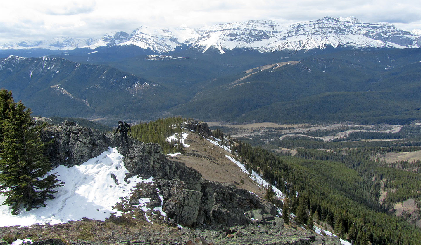
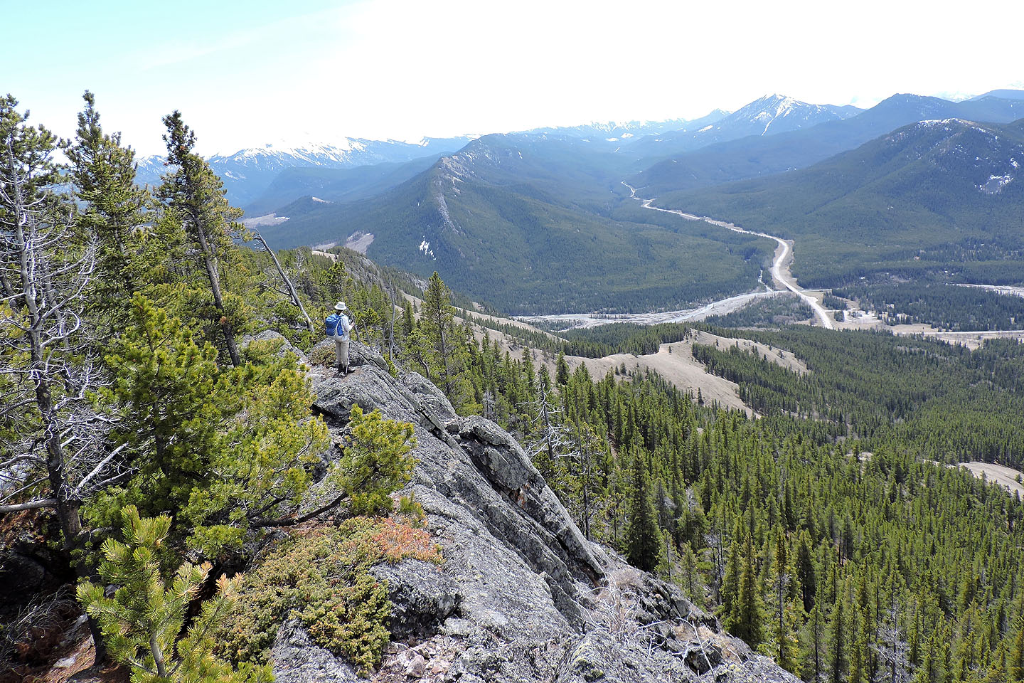
Below on our right, a party of six (mouse over) hike up Stony Ridge
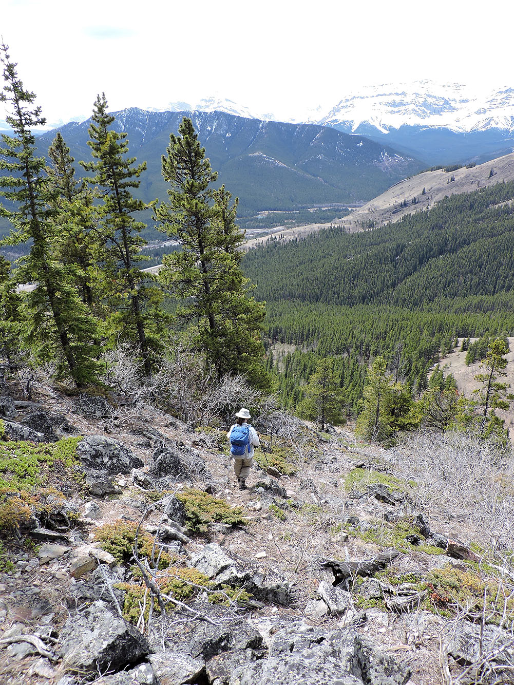
Where the route didn't cross rocks, it followed paths
Looking back along the ridge
The descent slope is the second grassy slope ahead
A trail in a break of the cliffs leads to the descent slope
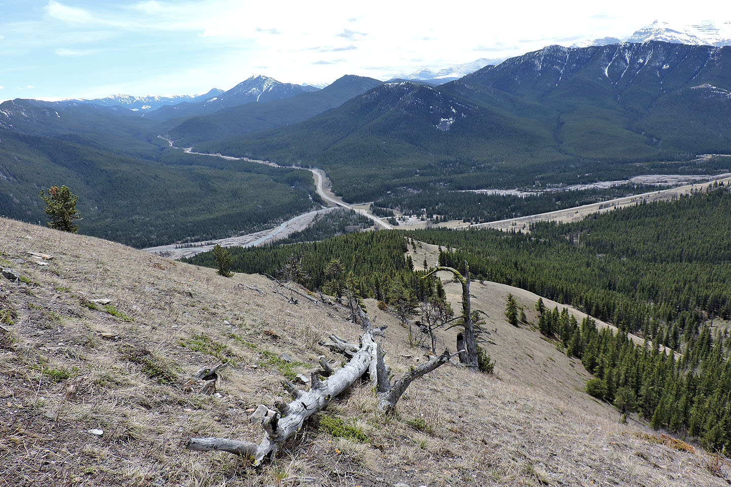
We followed the meadow down to the forest
Looking back from partway down the slope, the treed break is left of the top of the meadow
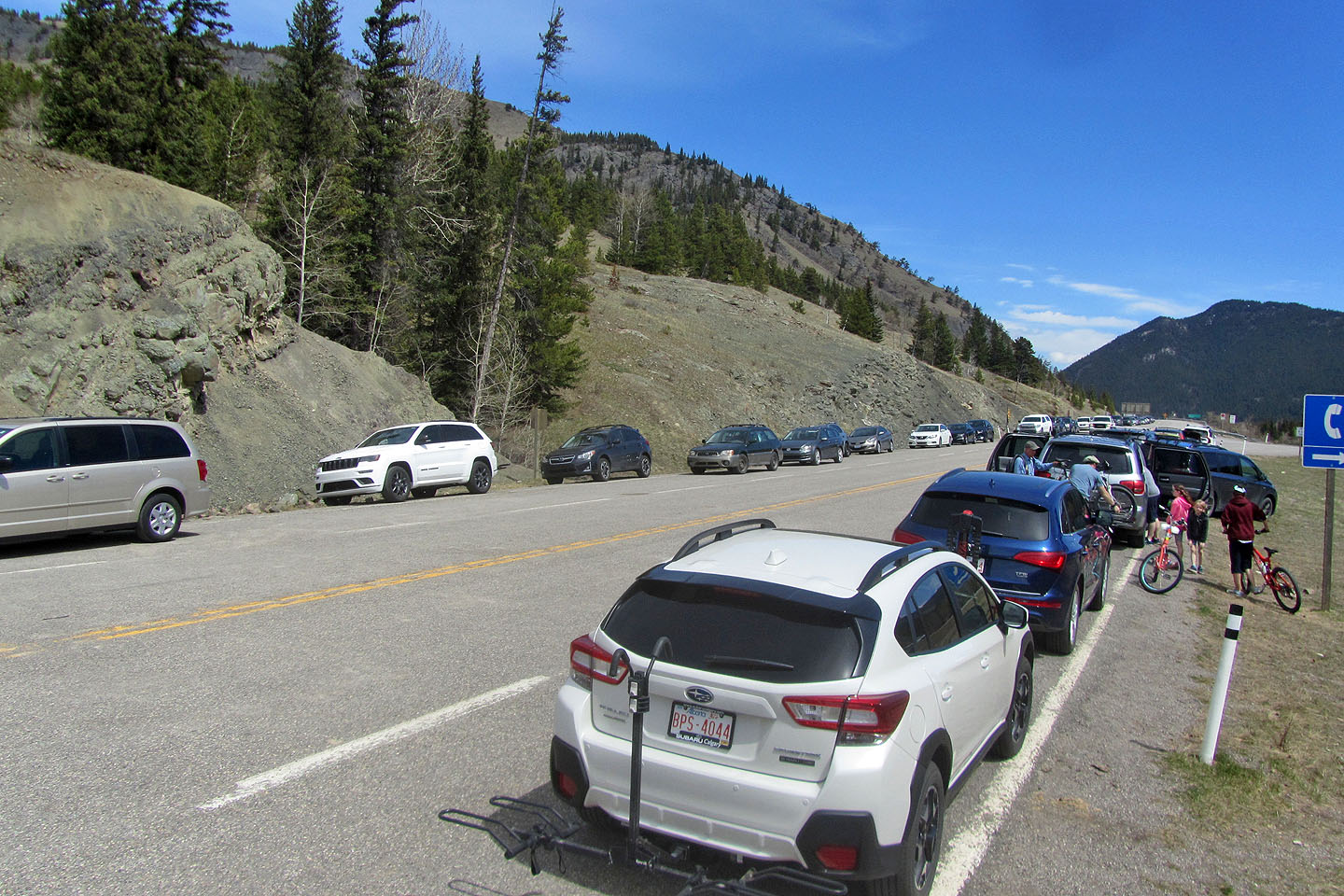
Back at the gate, there were dozens of cars. There were only five when we started.
82 J/7 Mount Head