bobspirko.ca | Home | Canada Trips | US Trips | Hiking | Snowshoeing | MAP | About
Tent Ridge
Kananaskis, Alberta
August 3, 2013
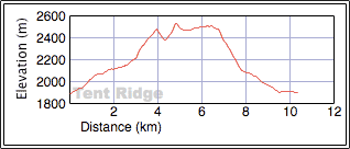
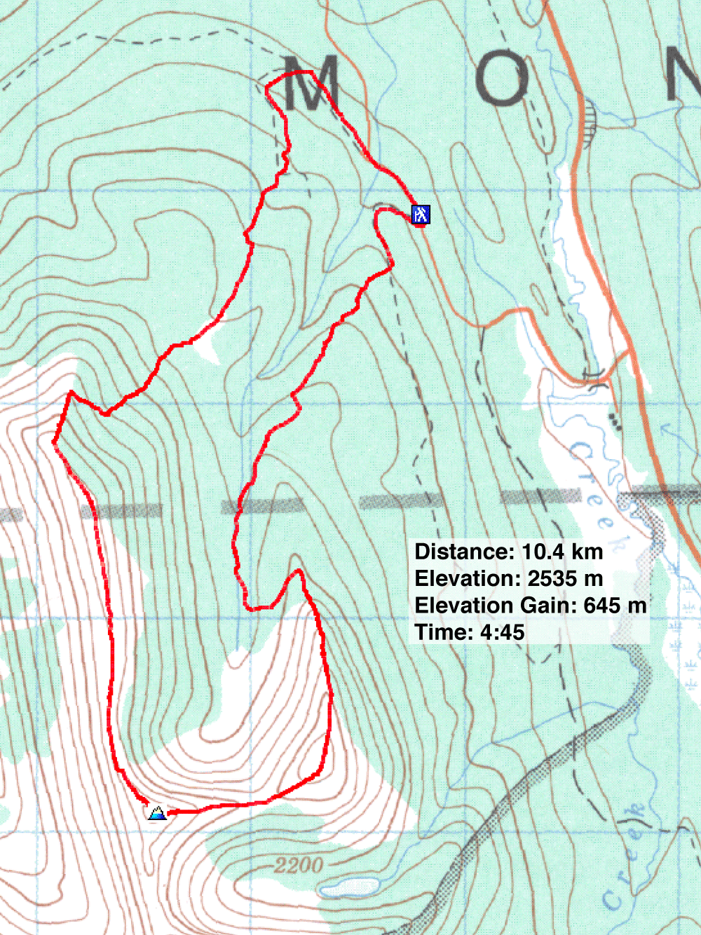
Distance: 10.4 km (6.5 mi)
Cumulative Elevation Gain: 794 m (2605 m)
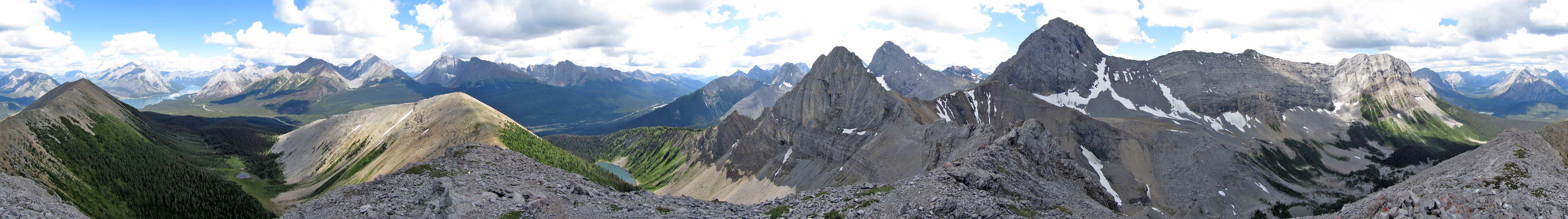
Tent Ridge presents a seeming paradox: although it's nestled among much taller peaks, it more than holds its own when it comes to scenic views. It achieves this trick because the horseshoe-shaped ridge, when traversed, brings more peaks into close view than any nearby single summit can.
Following the route clockwise, there are a few places where one can go astray, so Dinah and I paid close attention to the guidebook. We parked at a small roadside spot near the cutblock trailhead, rather than at a more spacious spot 100 m farther up the road. Since we were doing a loop, it didn't add any distance.
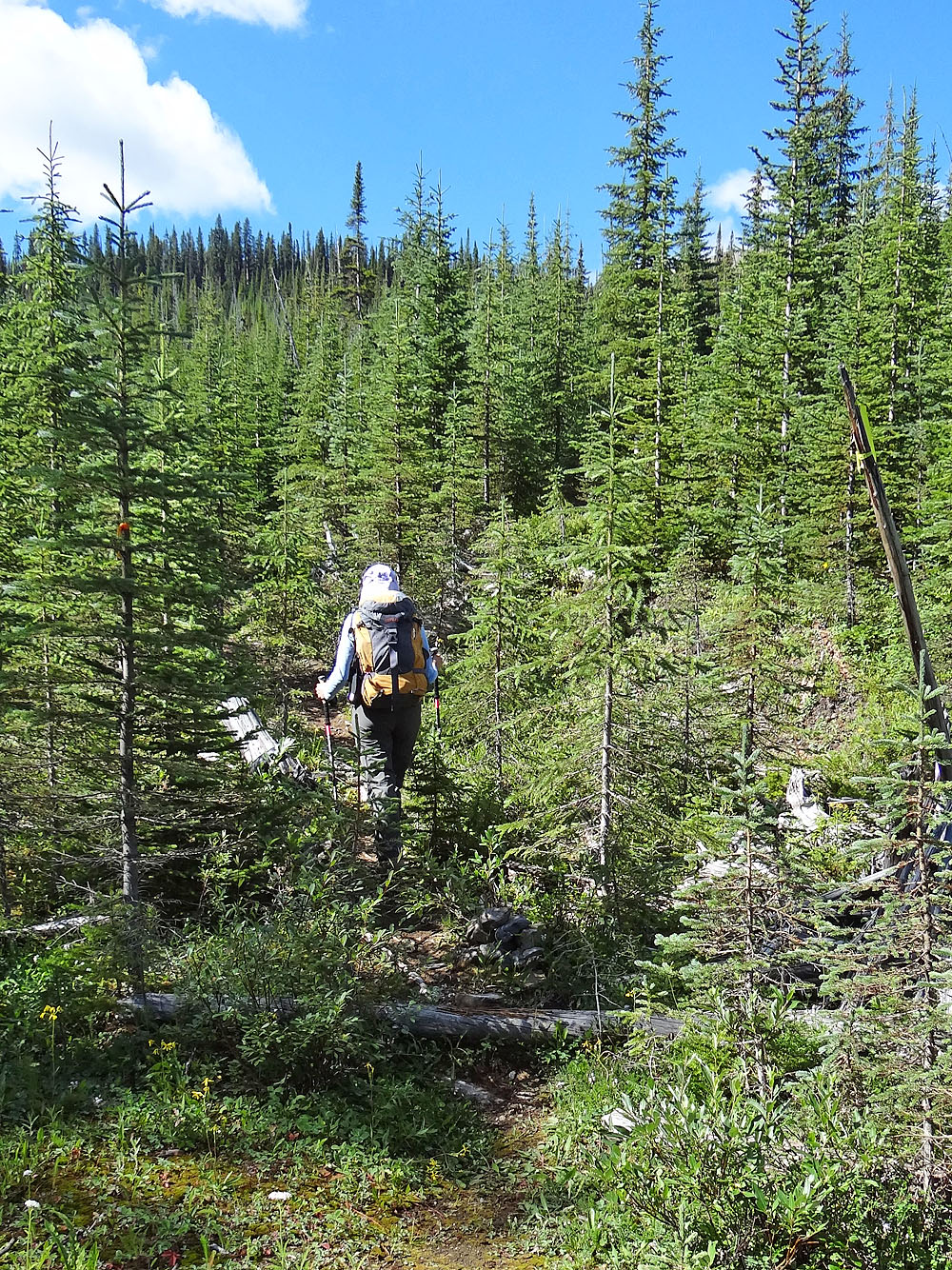
After hiking less than ten minutes up the cutblock, we found the flagged side trail and turned up it. The trail climbs a wooded slope, stumbles over several logs, before emerging onto pleasant grassy strips that line meandering Monica Brook. At Monica Meadows, the trail bends left and re-enters the trees.
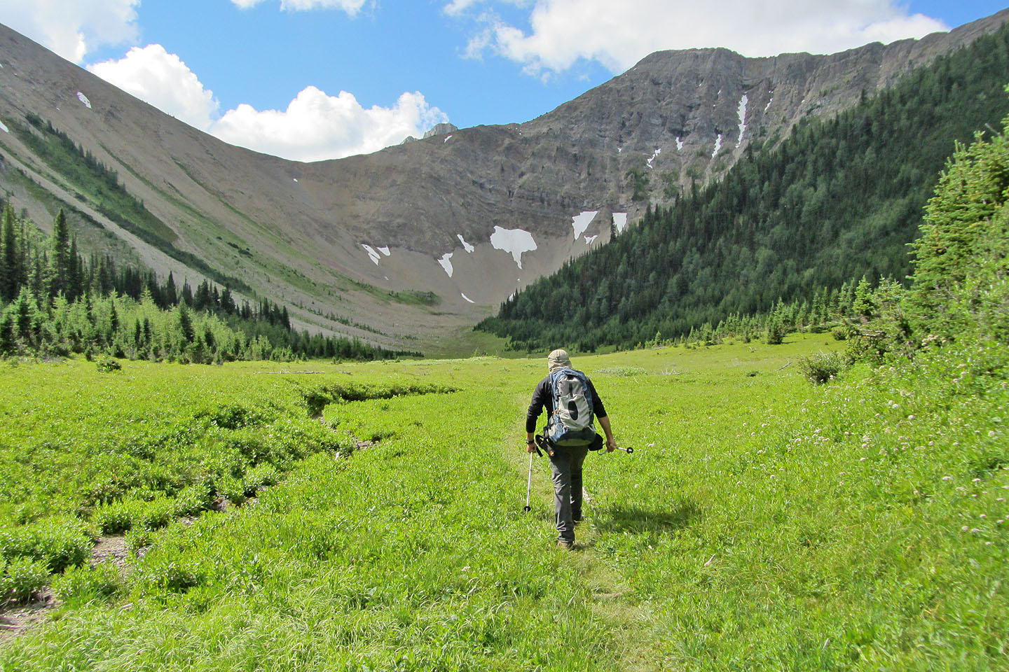
Immediately we encountered a fork. We took the left fork and soon arrived at the south end of the ridge. After hiking up a short way, we encountered easy although brief scrambling. Then the route follows the ridge crest while taking in three high points. The first and lowest point is marred by a repeater station, while the highest point – the summit of Tent Ridge – is next. But we especially enjoyed the scenery along the stretch of ridge between the summit and the last high point.
The only uncertainty we encountered on the descent was getting onto the Tent Ridge connector. After following the trail down the northeast end of the ridge, we realized we had to leave the trail and look for the connector in the meadow at the bottom of the slope. However, we quickly found it. We followed it back to the road, finishing off what must be the best ridgewalk in Kananaskis that can be done in such a short amount of time.
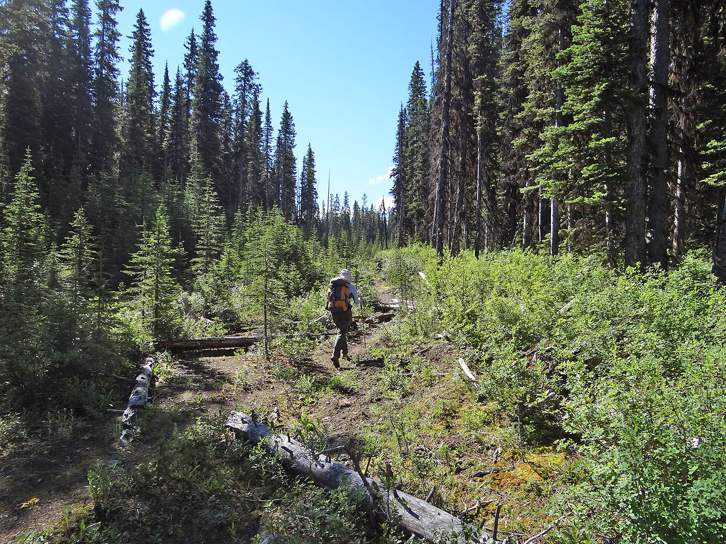
Heading up the cutblock
Less than ten minutes after starting up the cutblock we left it here.
Yellow flagging on a dead tree marks the start of the side trail.
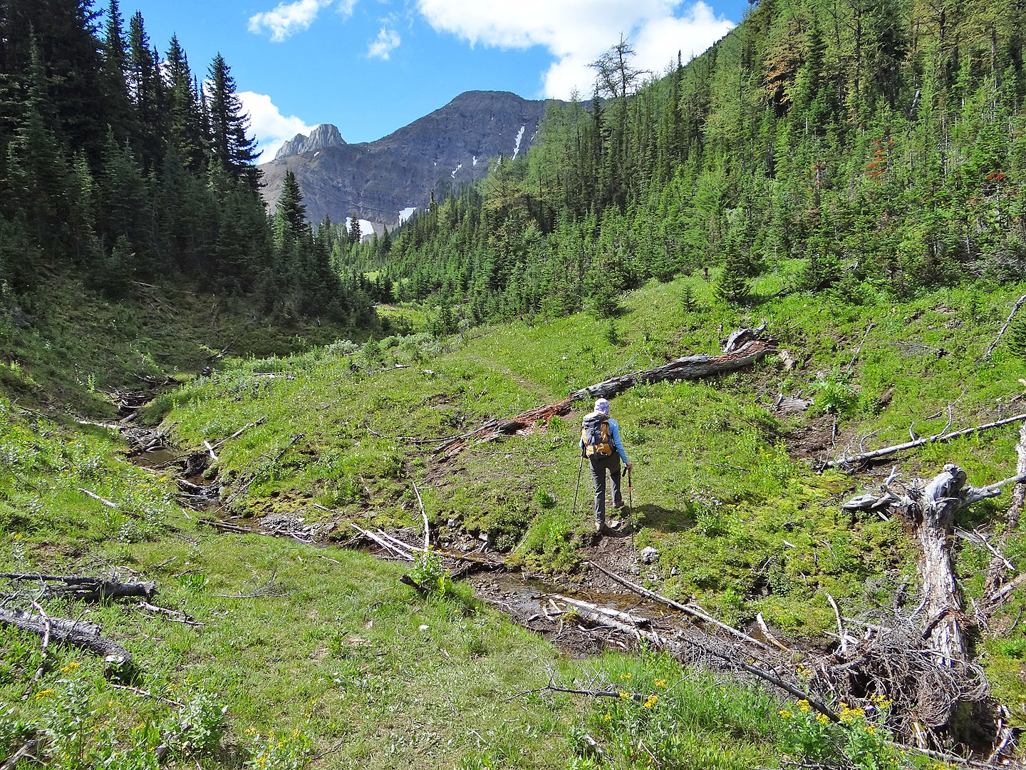
Monica Brook
Monica Brook Meadows. The trail swings left into the trees.
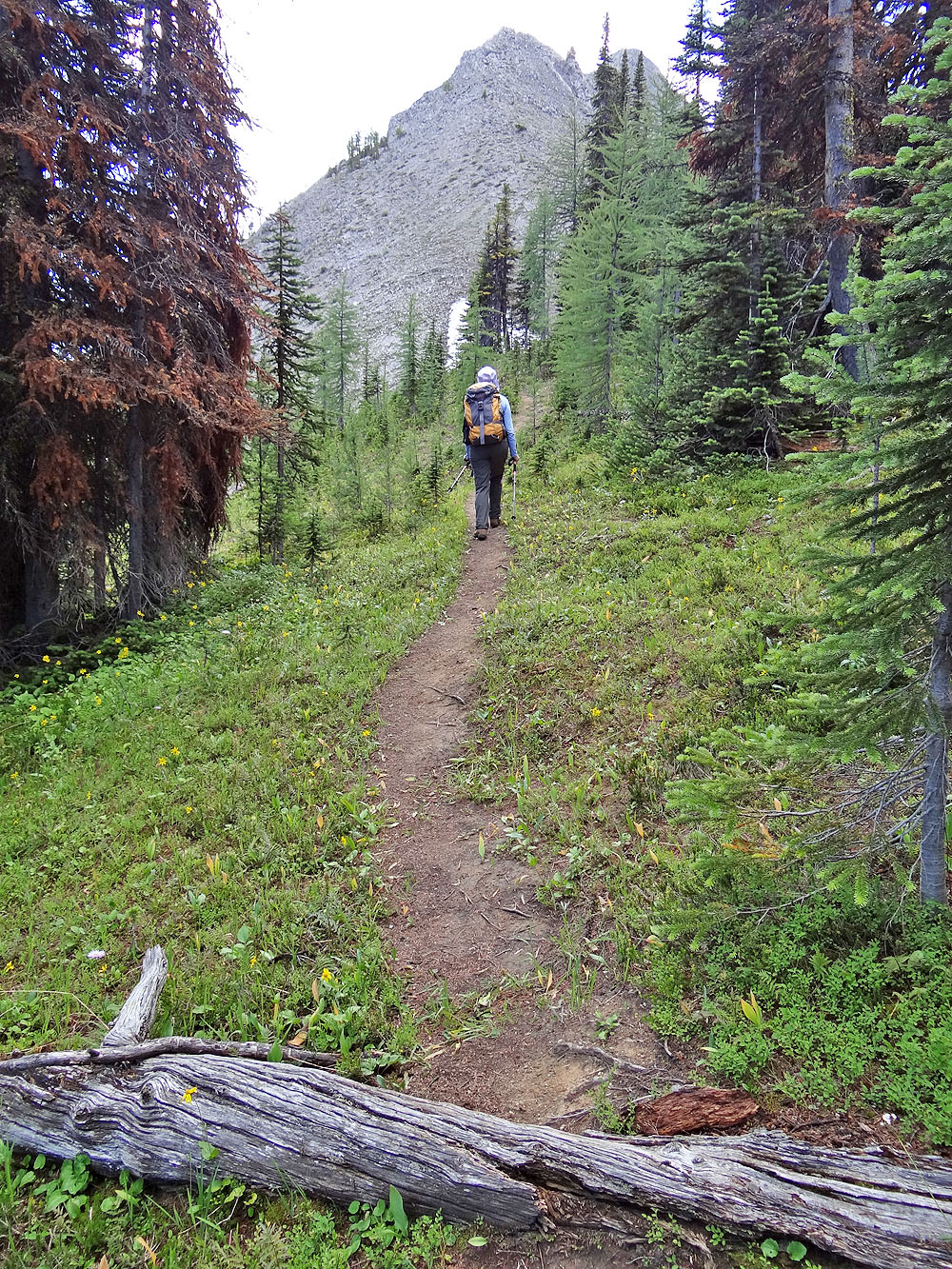
The trail leads to the start of the ascent ridge
Starting up the ridge
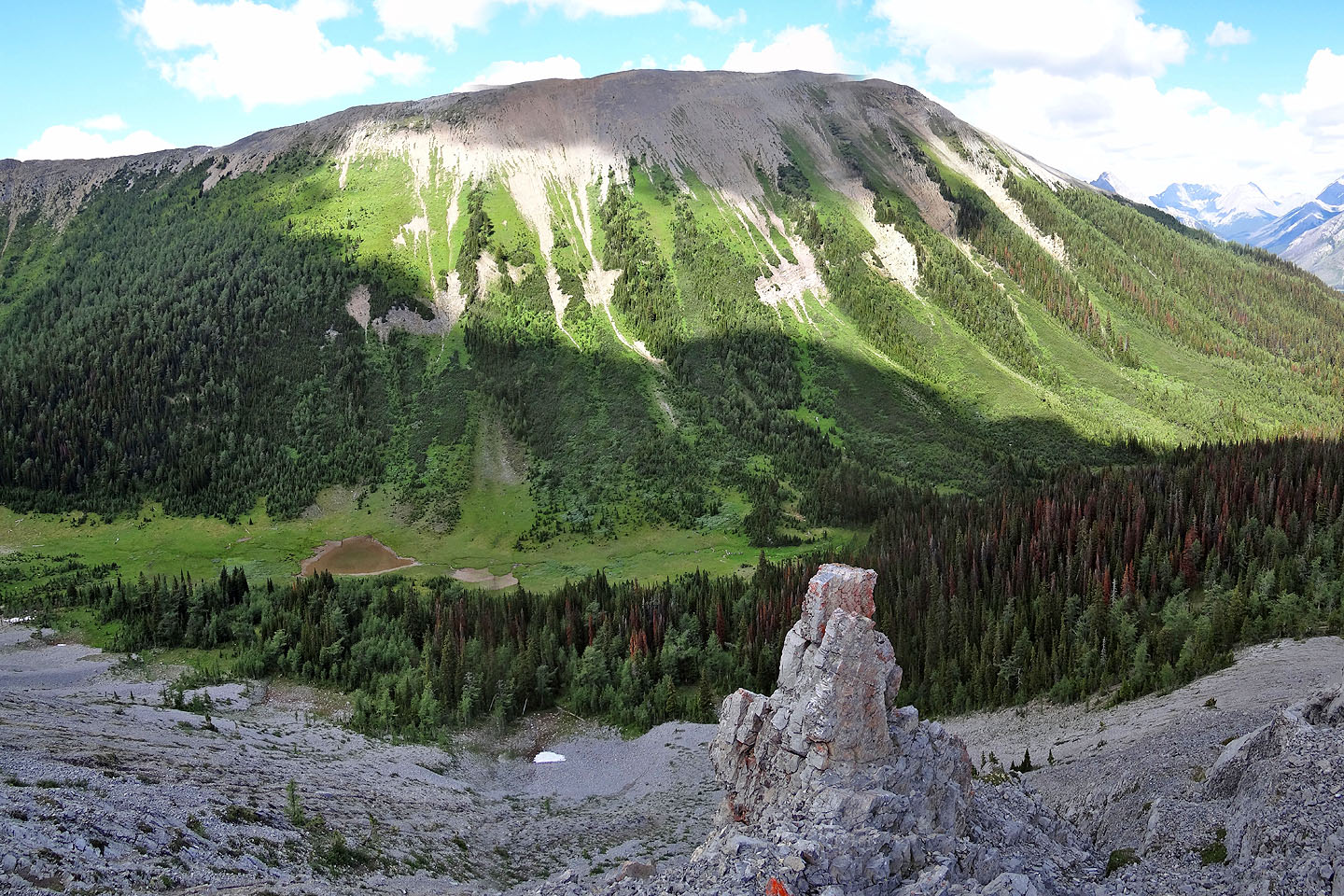
Looking across a valley at the north section of Tent Ridge
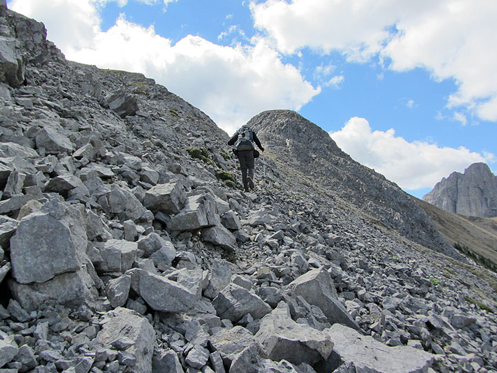
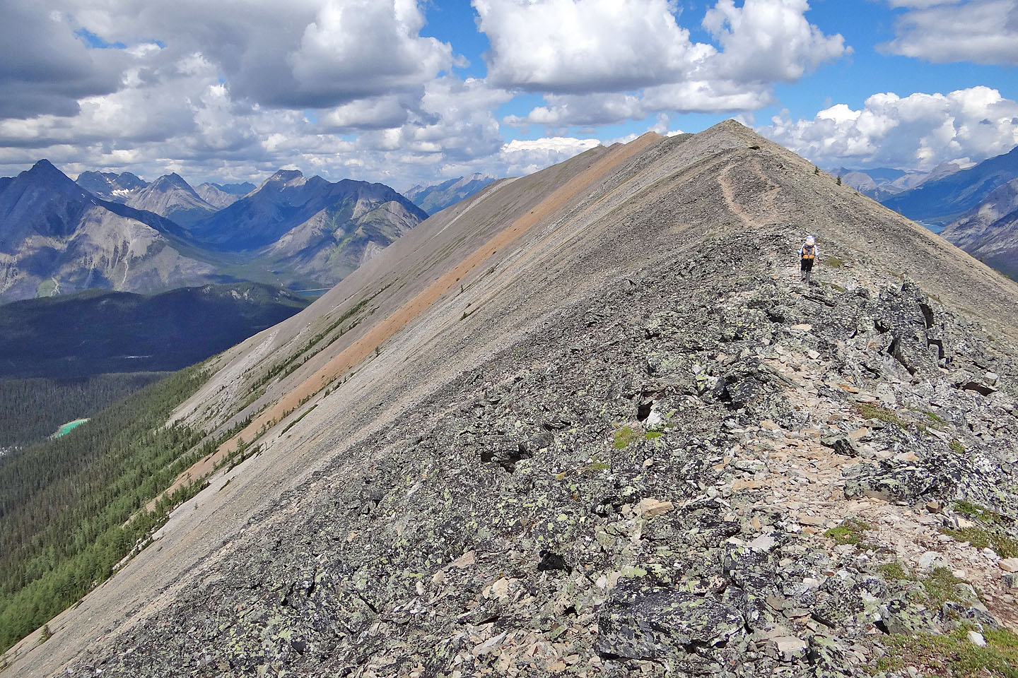
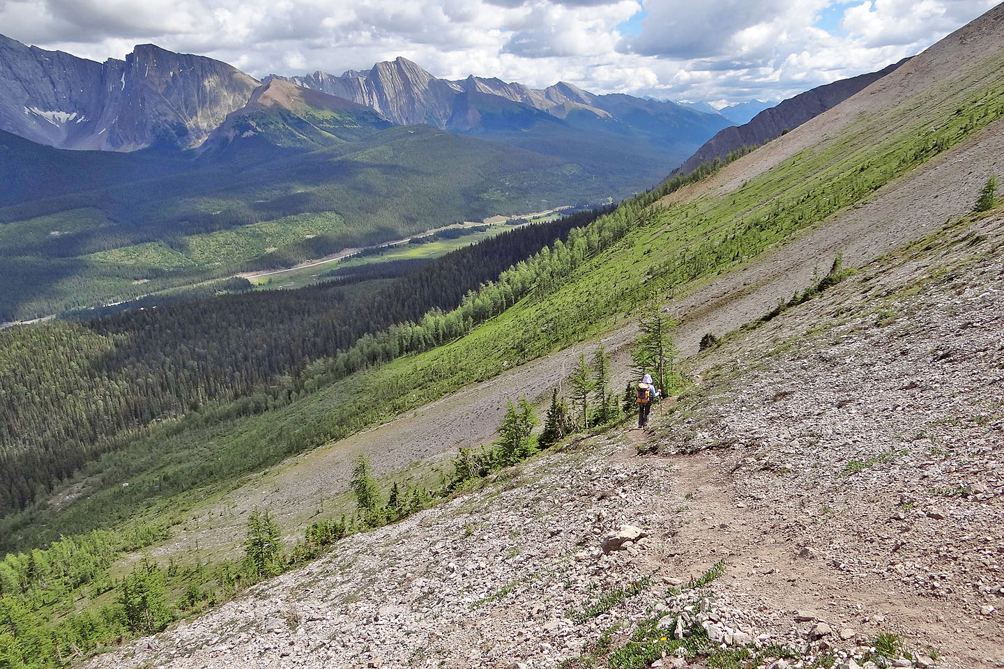
A trail cuts into the talus slope
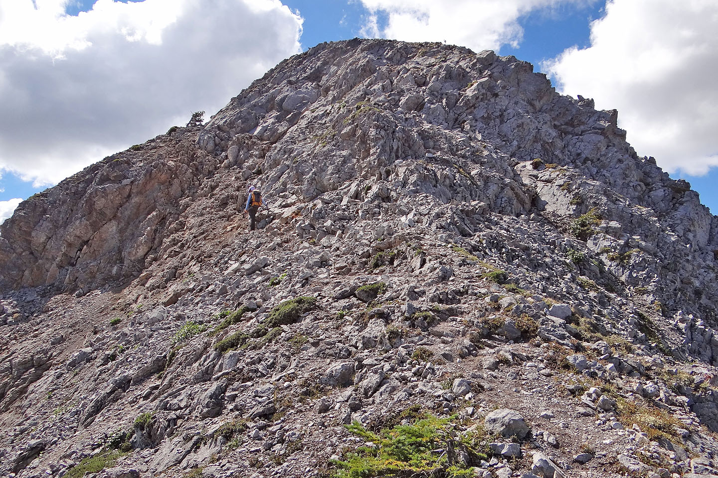
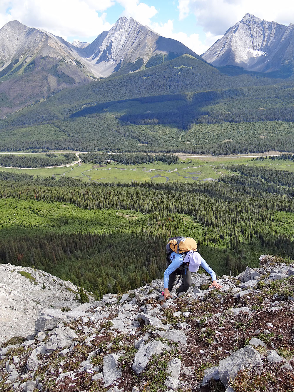
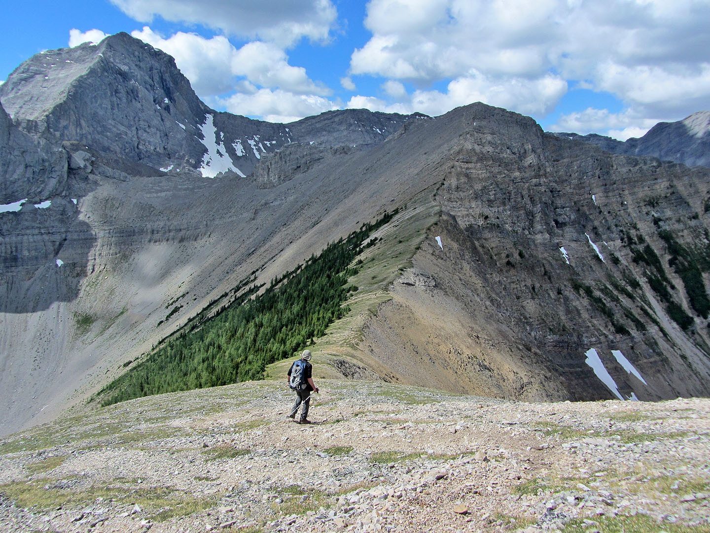
We'll have to scramble up the next section
We followed a ledge on the left before swinging right and scrambling up (mouse over)
Dinah reaches the top. Behind are Engadine, The Tower and Galatea
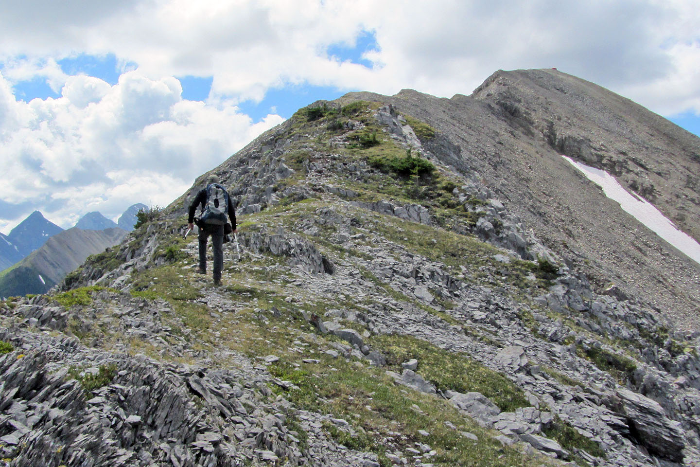
The orange speck on top marks the high point before the summit
Looking back
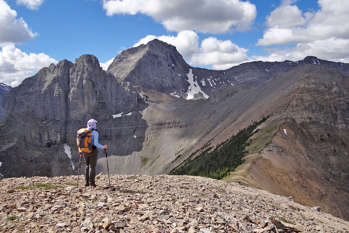
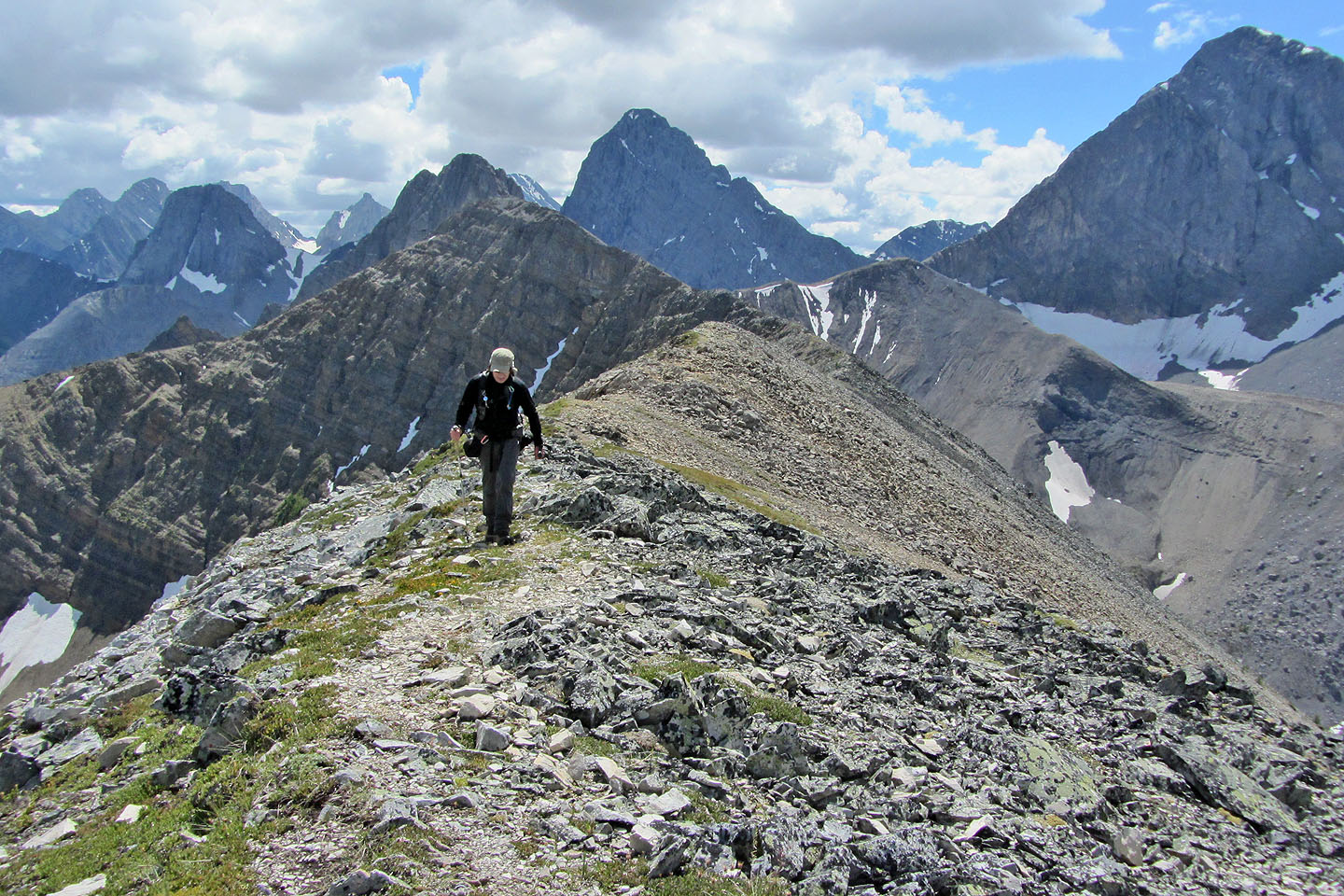
The Fist and Mount Smuts seen from the high point
Heading to the summit
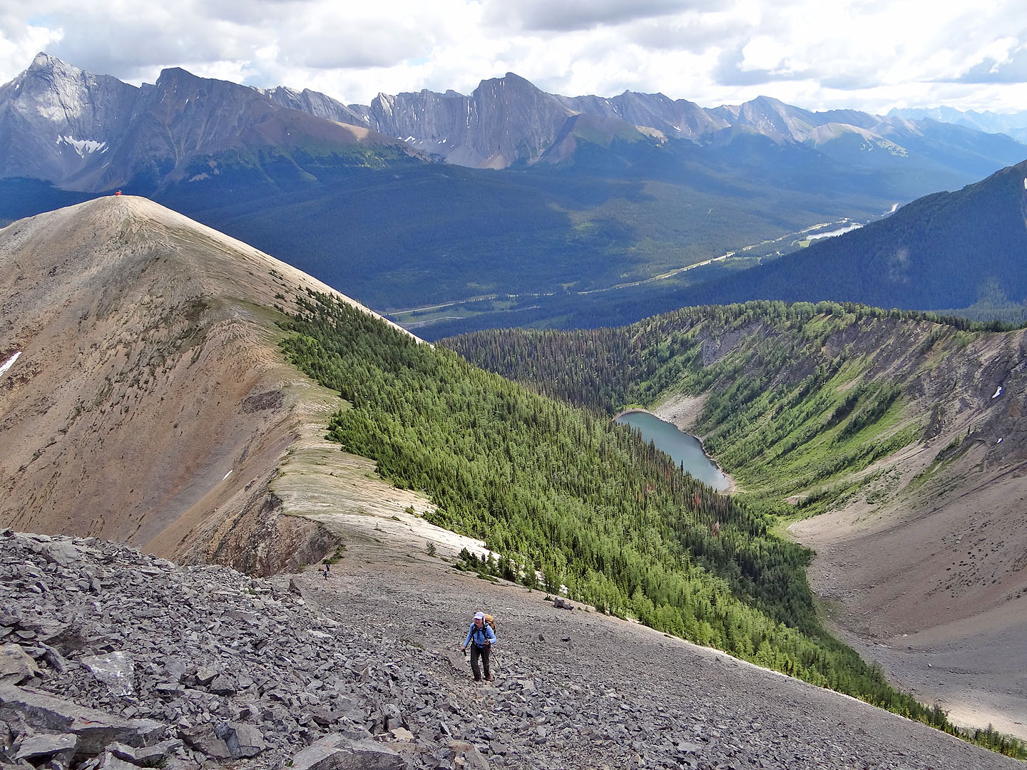
Looking back. Tryst Lake below.
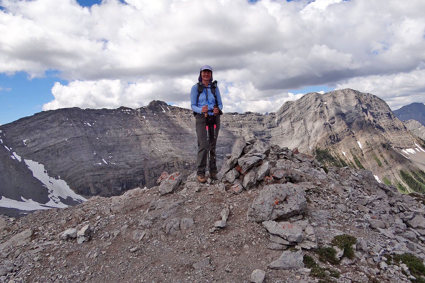
Dinah stands next to the summit cairn. Mount Shark on the right.
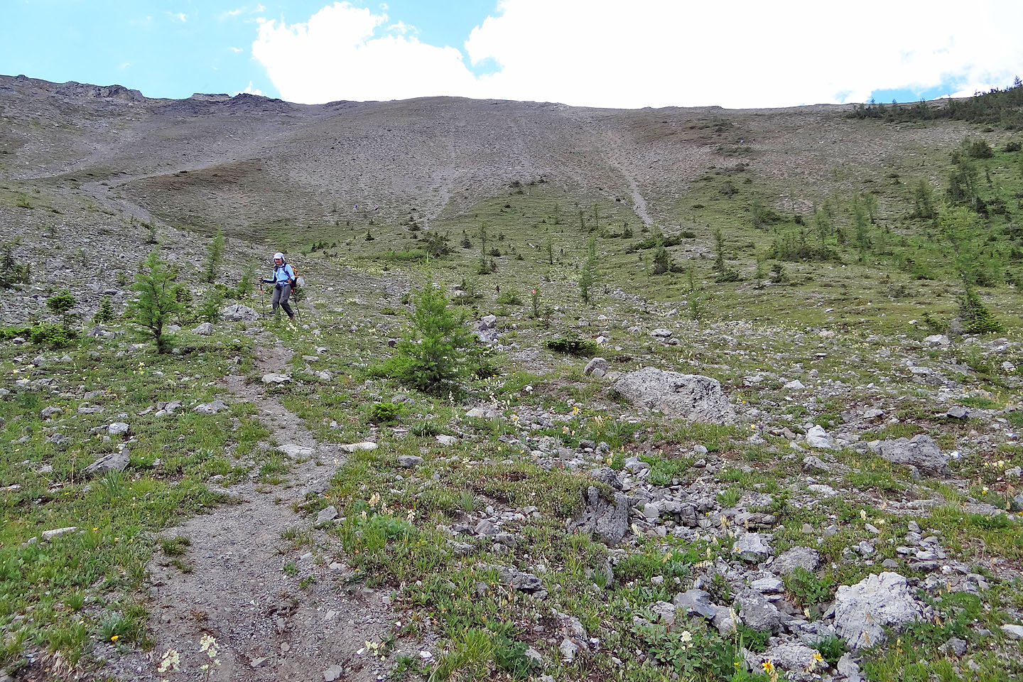
The trail traverses the left slope for a ways
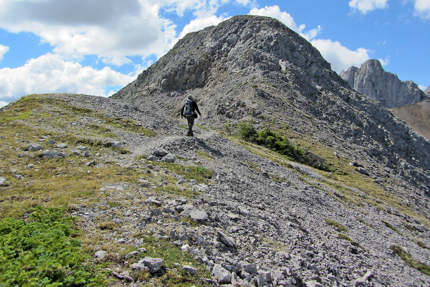
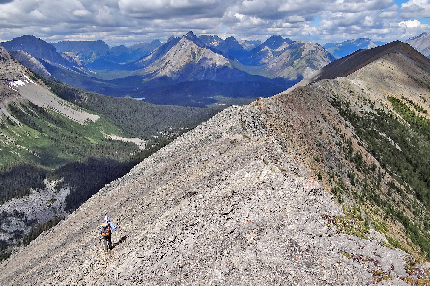
After regaining the ridge, the trail follows an undulating crest
Looking back at the summit
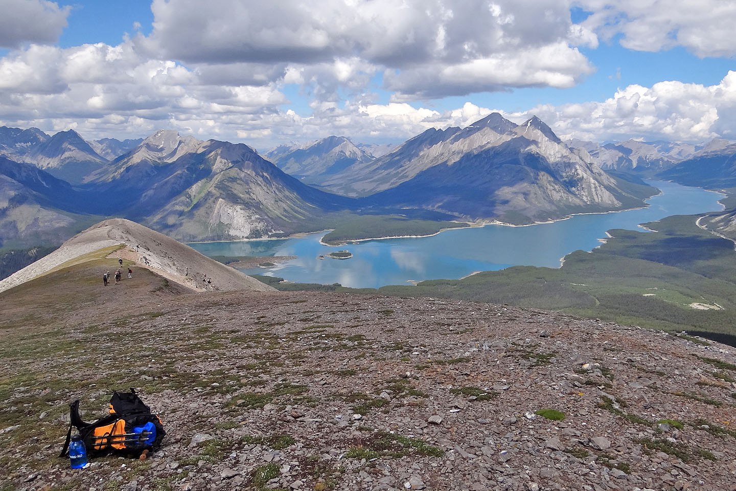
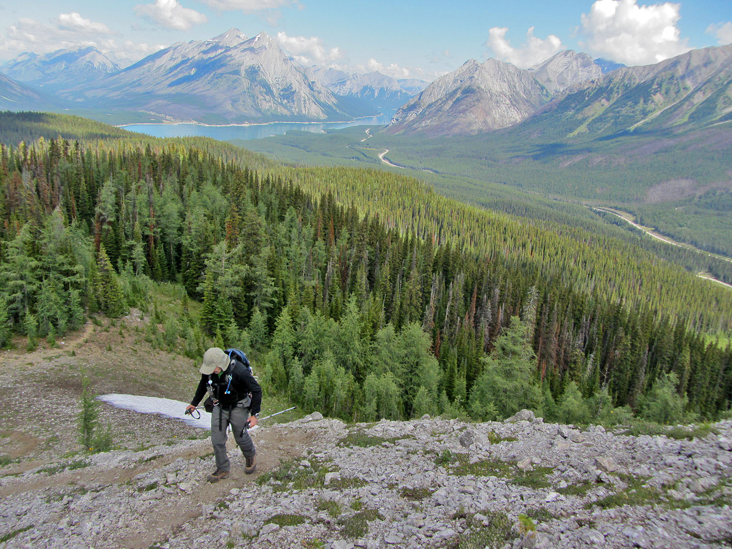
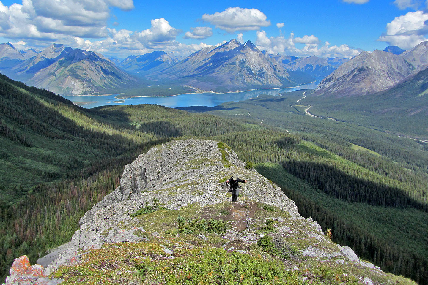
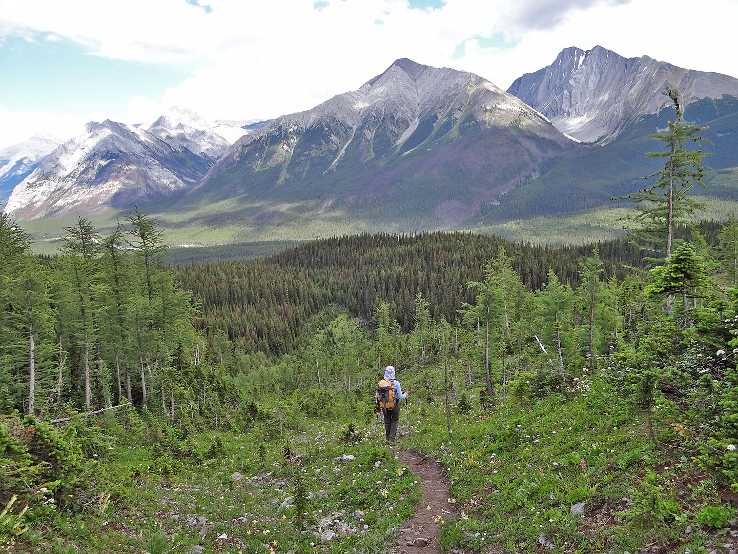
Looking across Spray Lakes Reservoir from the north end of Tent Ridge
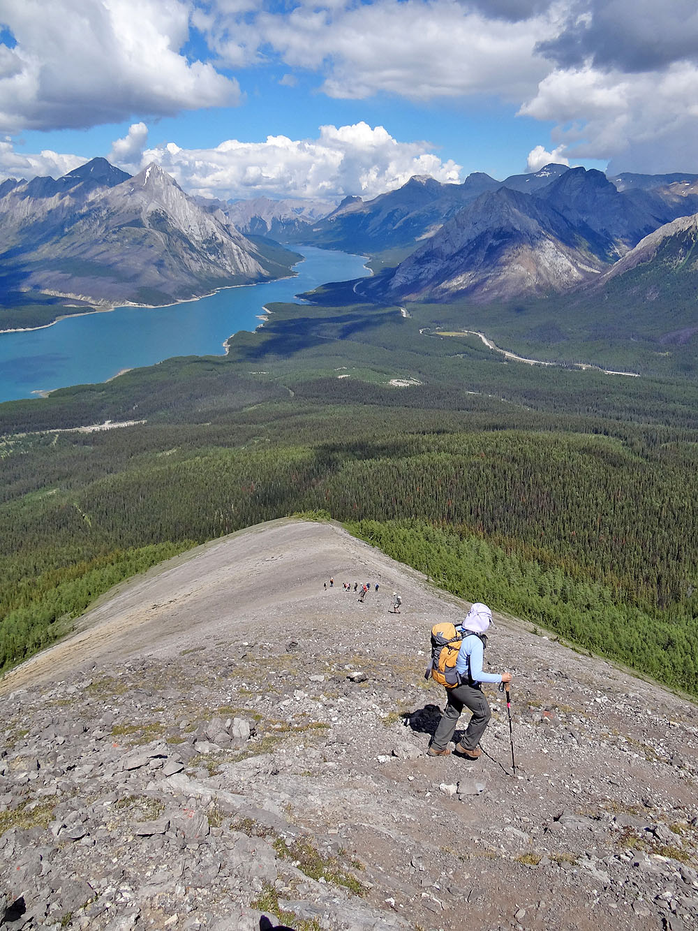
The trail drops down the ridge and then turns right
The trail continues straight ahead, but we soon left it, descended to the bottom of the open
slope, and picked up another trail
Catching the trail at the bottom
The trail drops down into the forest
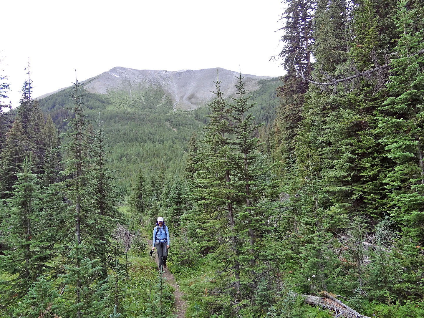
A final look at Tent Ridge
82 J/14 Spray Lakes Reservoir