bobspirko.ca | Home | Canada Trips | US Trips | Hiking | Snowshoeing | MAP | About
Pocaterra Ridge Traverse
Kananaskis, Alberta
September 21, 2013
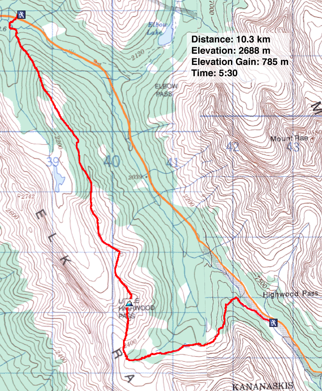
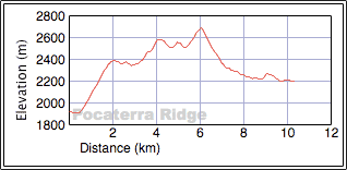
Distance: 10.3 km (6.4 mi)
Cumulative Elevation Gain: 997 m (3271 ft)
Like many hikers in this corner of the planet, Dinah and I wanted to see the larches turning yellow as we swung into fall. So we chose to do Pocaterra Ridge on Highwood Pass. Starting from Little Highwood Pass trailhead, we planned to traverse the ridge north to south and return via Rockfall Valley. (In the summer of 2021, we returned to climb Pocaterra from Highwood Pass.)
Right off the bat, the trail crosses Pocaterra Creek. Since Dinah doesn't like log crossings, and since we didn't know what state the creek was in after the historic June floods, we decided to ford the creek in hip waders. We reached the creek in five minutes, crossed, and stashed our waders in bushes. As it turns out, however, the logjam-crossing mentioned in the guidebook looked good and appeared unaffected by the flood.
After the creek, we climbed a steep trail in trees before popping out onto a delightful open ridge. We continued up to the broad, featureless top of Peak 1. Before the day was done, we would climb three more peaks along the ridge, the last being the highest.
After Peak 1, the trail dips into a larch forest before rising to meet Peak 2. After knocking off Peak 2, we deliberated on doing Peak 3. Peak 3 can easily be sidestepped, but in her guidebook, Gillean Daffern advises against this, and we didn't want to be found “guilty” of a ridgewalk transgression. We hiked up and over Peak 3 (it was worth the effort). Peak 4, the summit, was next in line.
We enjoyed hiking in solitude along the ridge, but as we went up the summit, we began passing groups traversing south to north, sparing themselves the extra 300 m gain we did, the height difference between the north and south trailheads. Presumably they had a shuttle car at Little Highwood parking lot, although one group told us they had left a bike there.
When we reached the summit, we were in for a surprise. Our friend Raff was sitting next to the cairn. He and his friend Sachi hiked from the Highwood Pass parking lot and were returning the same way.
Looking up, I noticed clouds moving in, casting dark shadows in Rockfall Valley. Suddenly the long hike down the valley back to our car looked gloomy and uninviting. We asked Raff if he could give us a lift back to our car.
The last 4.4 km went quickly. The four of us chatted and joked all the way back to the Highwood Pass parking lot. In good company and passing yellowing larches, Dinah and I couldn't have asked for a more enjoyable ending after traversing Pocaterra Ridge.
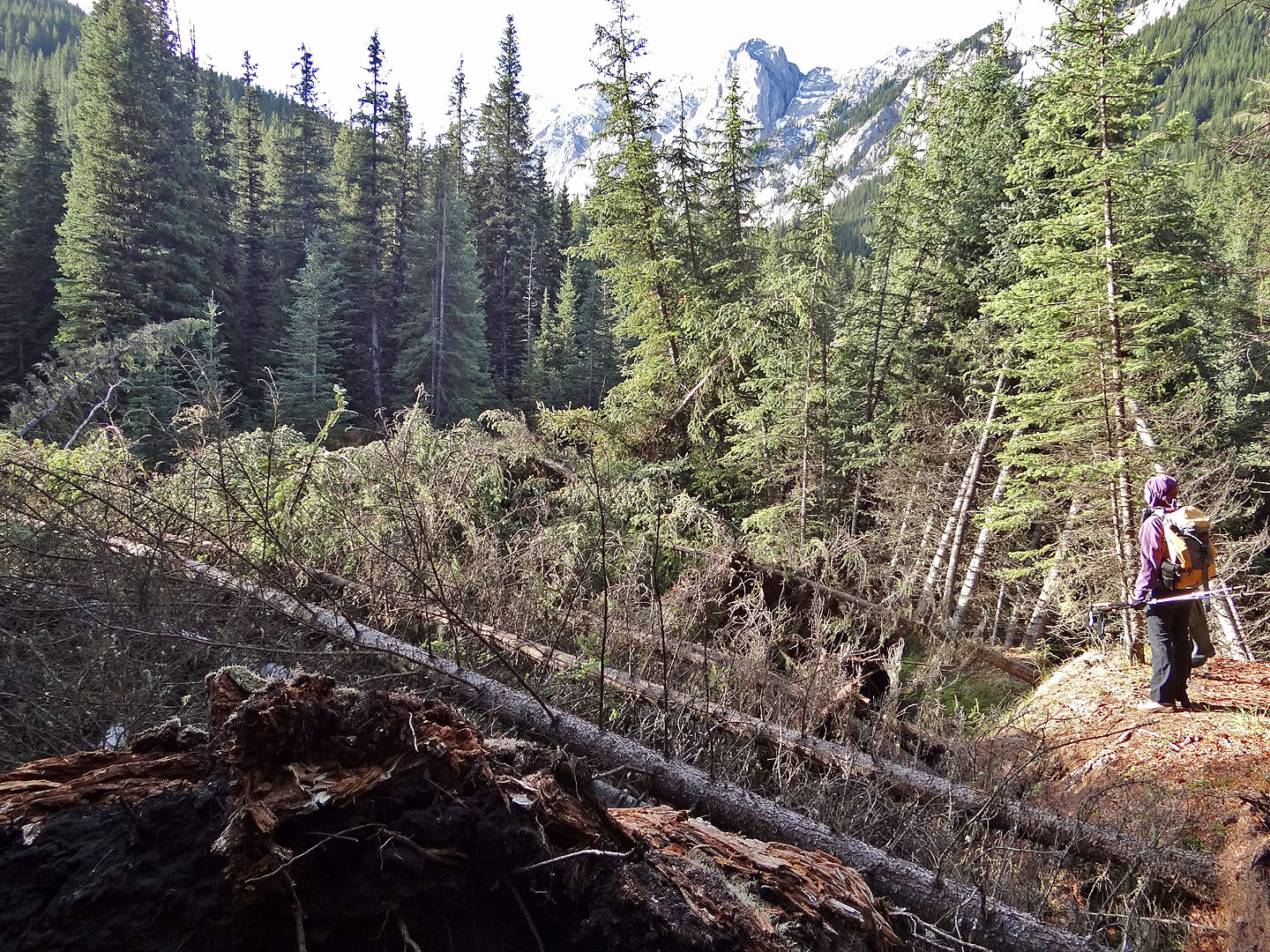
Looking for a place to cross: recent deadfall completely hides the creek
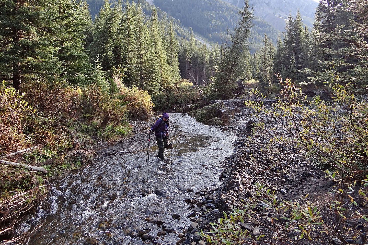
We waded across although later realized the logjam crossing was okay (mouse over)
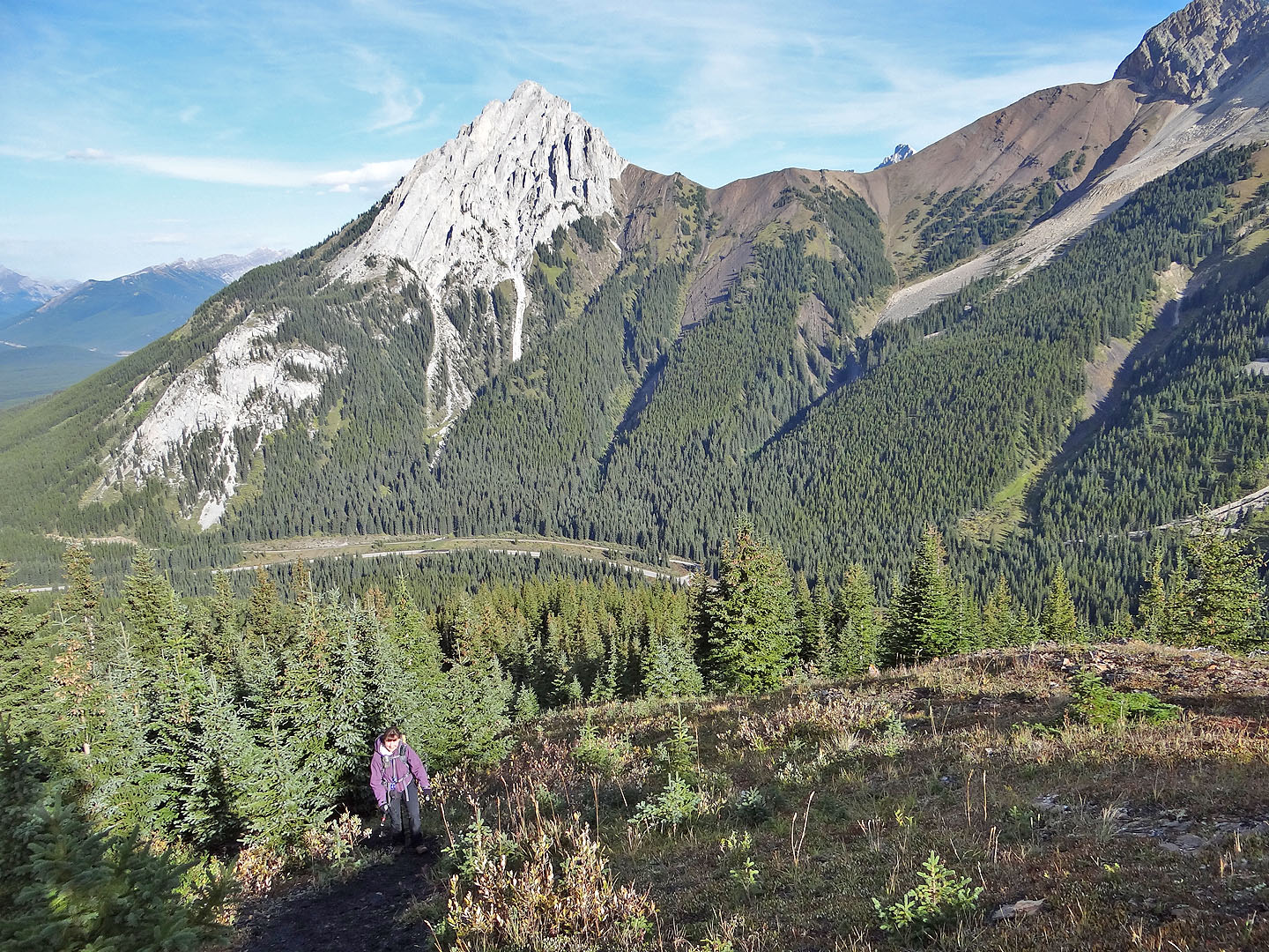
Emerging from the trees. Gap Mountain behind.
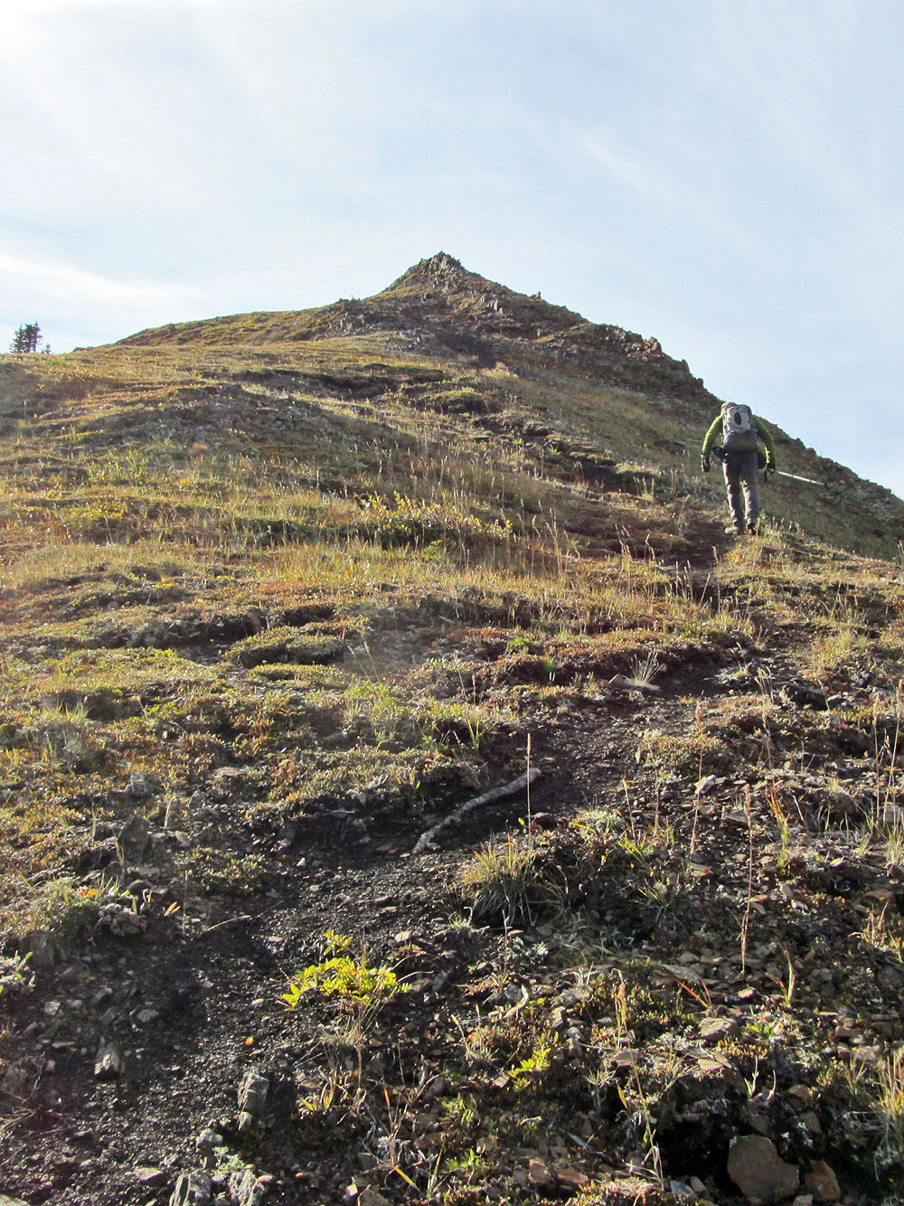
The first of a few false summits leading to Peak I
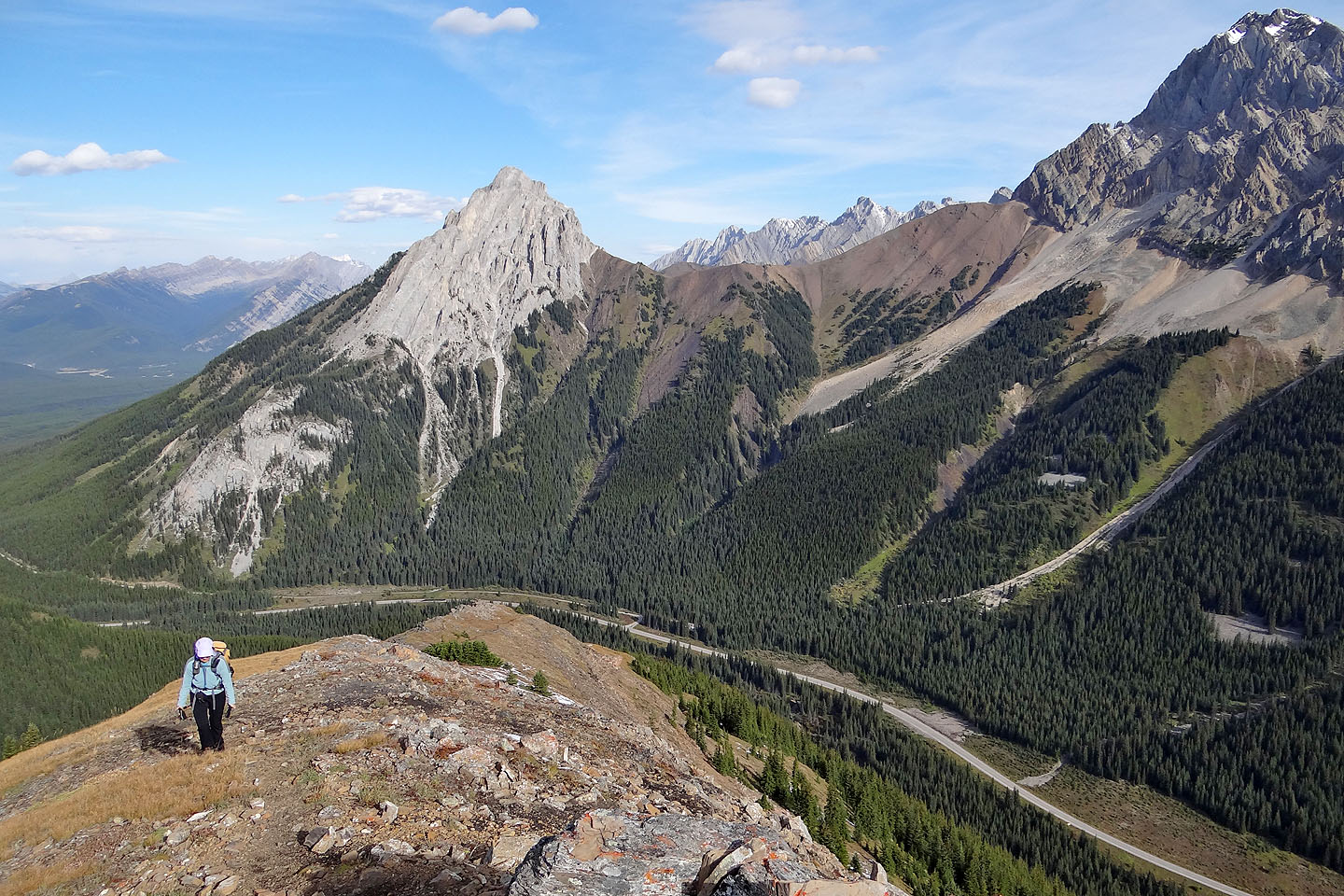
Looking back along the ridge
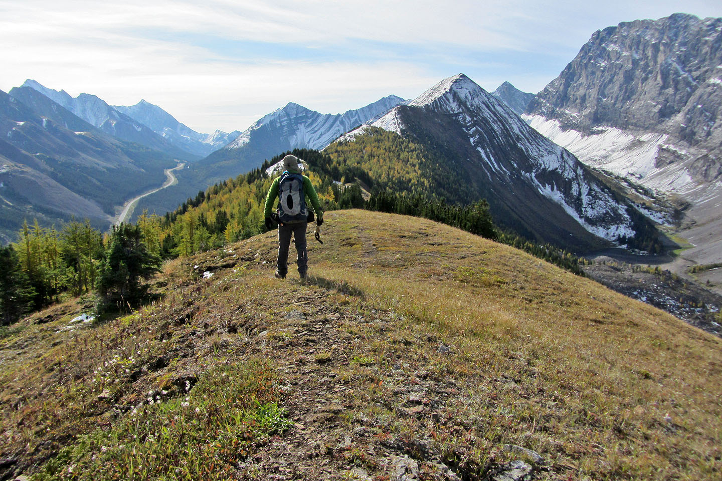
Peak 2 ahead
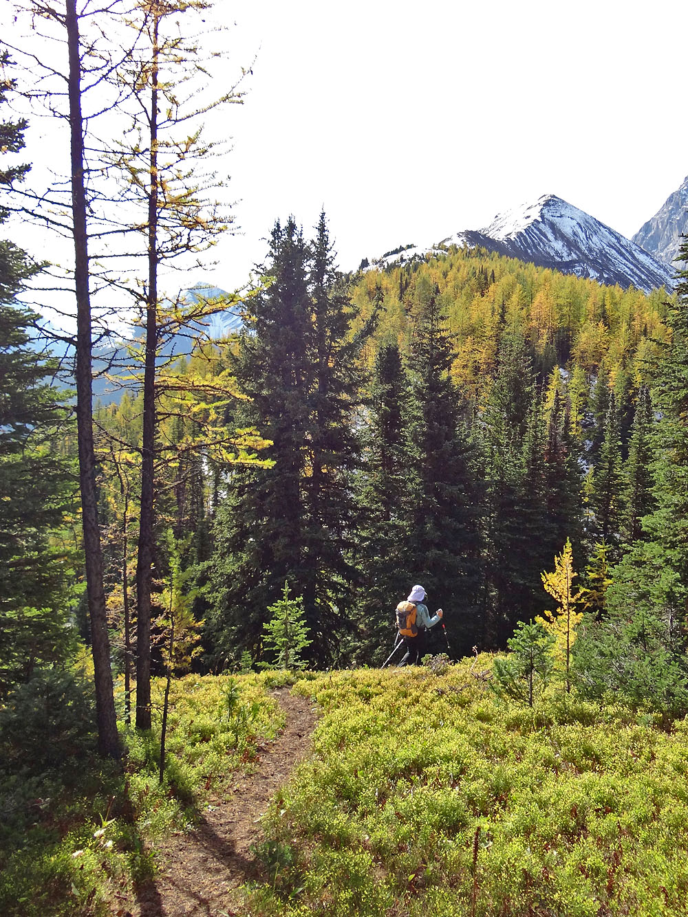
The larches aren't yet completely yellow
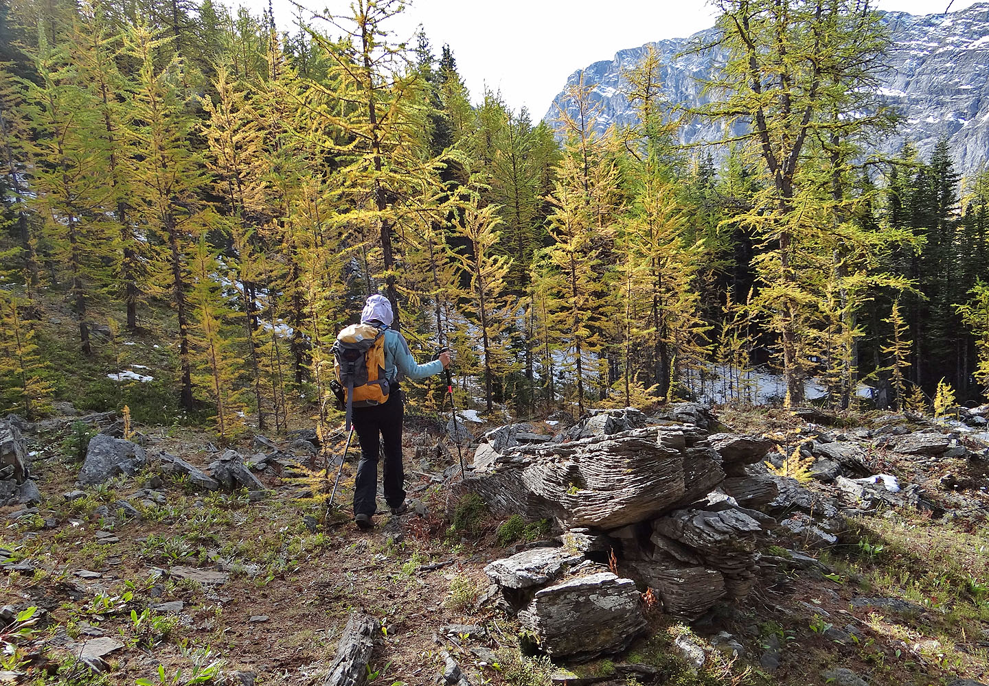
Hiking through a stand of larches between Peaks 1 and 2
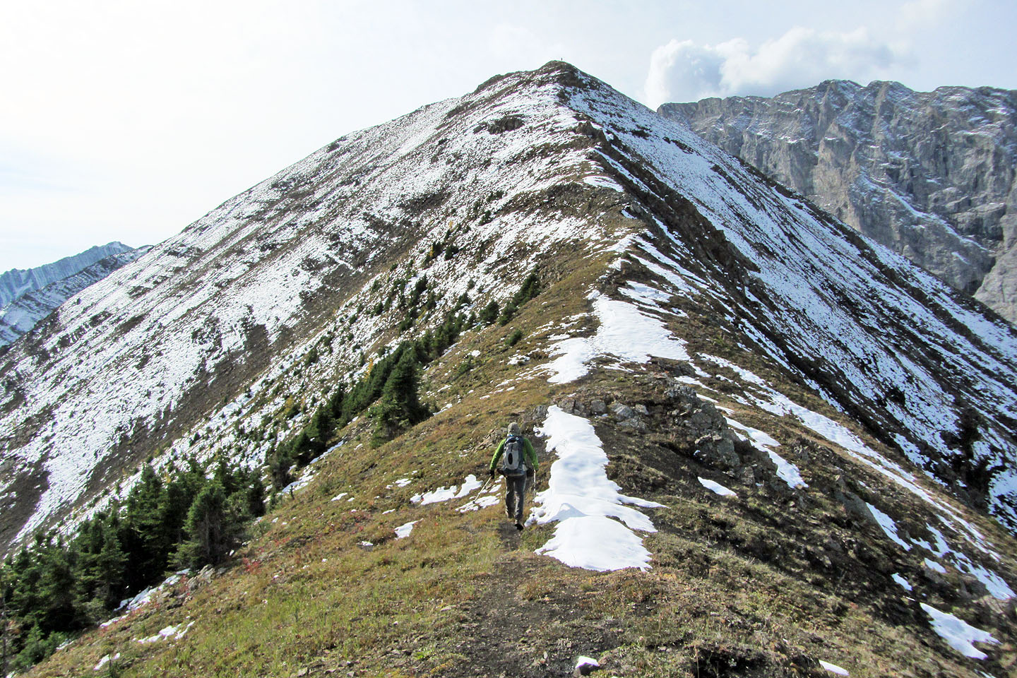
Heading up Peak 2
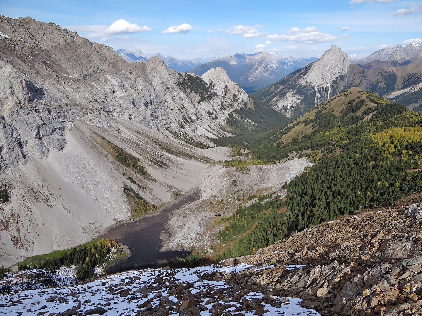
Rockfall Valley (the lake was completely dry)
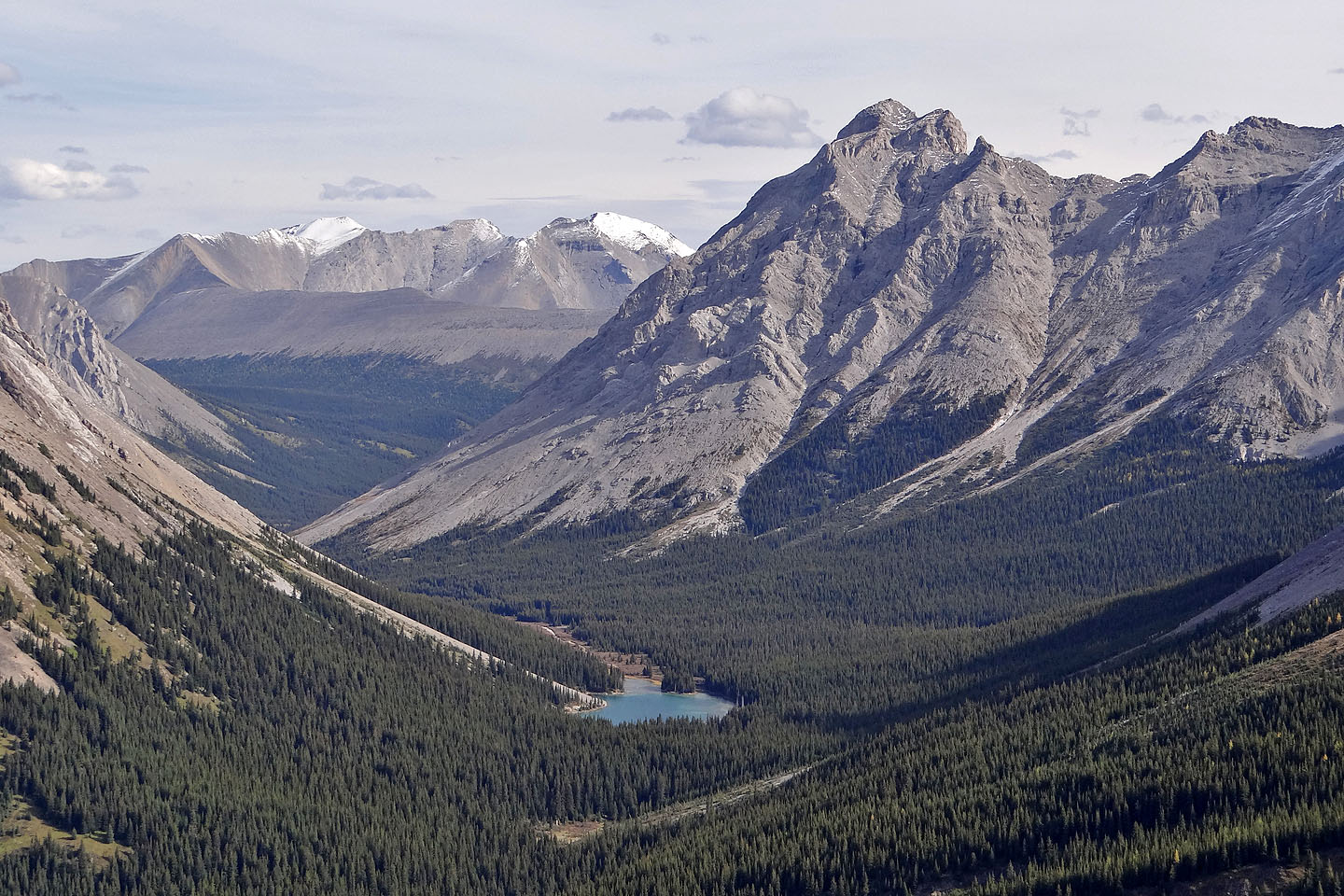
Elbow Lake
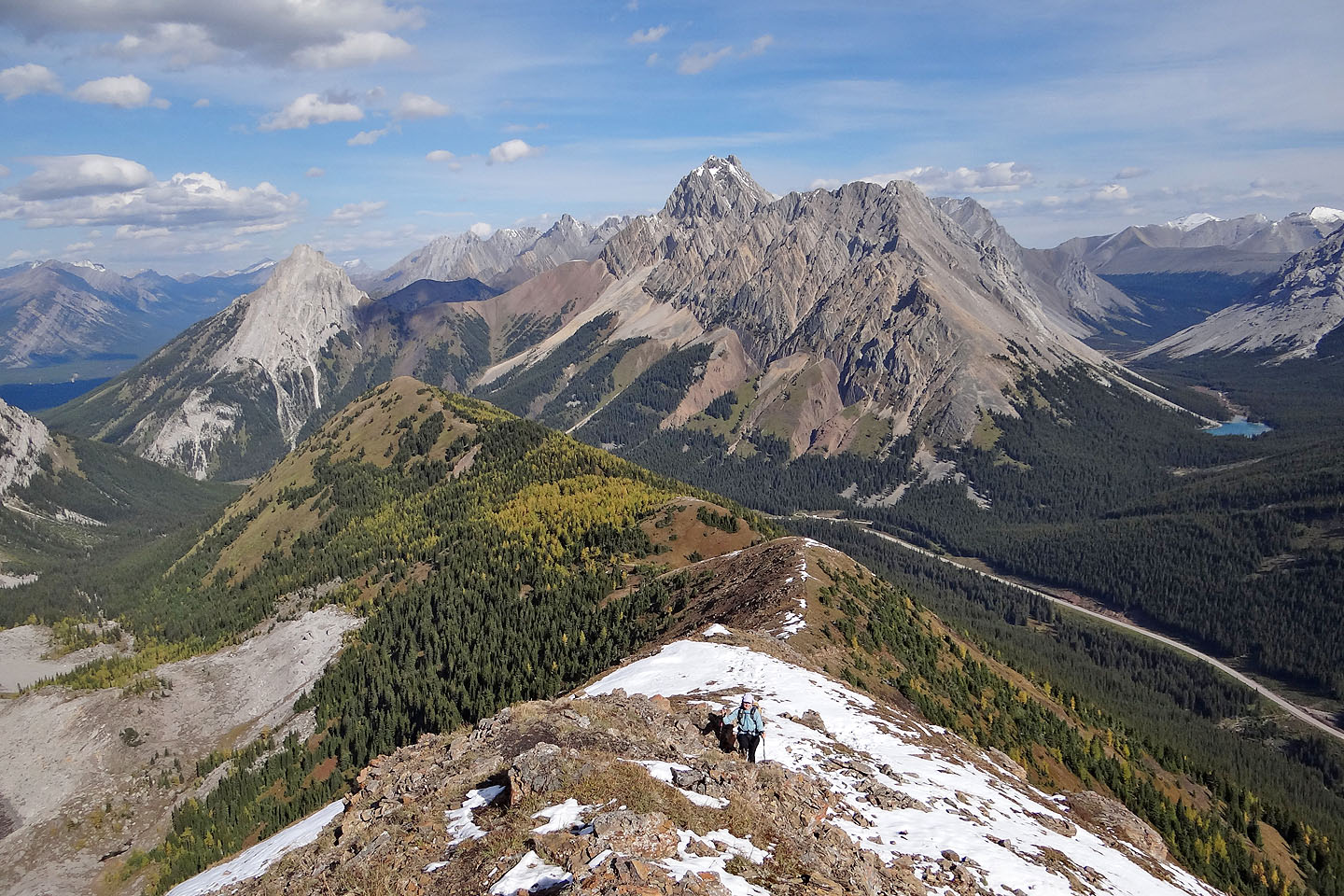
Looking back along the ridge to Peak 1
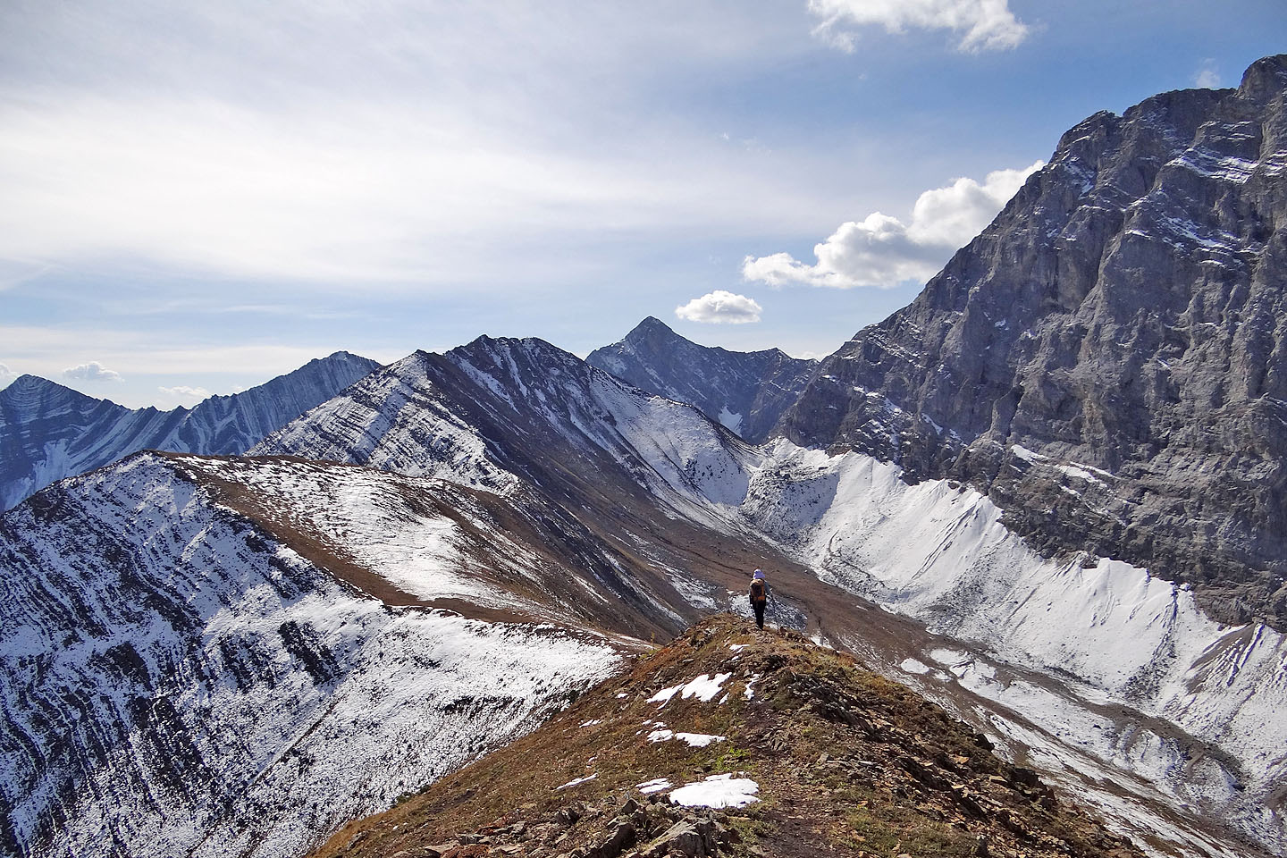
Peaks 3 and 4 ahead
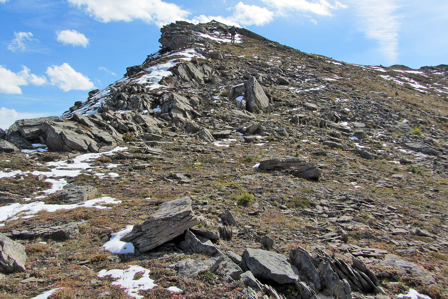
Although Peak 3 can be avoided, ascending it required little time and effort
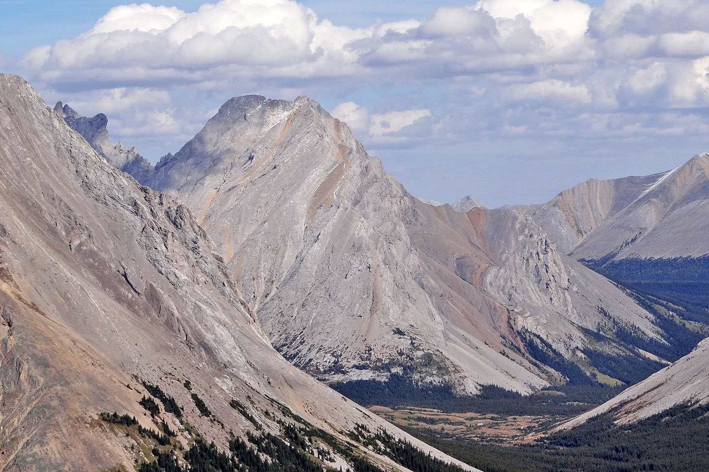
We had a nice view of the ascent ridge for Tombstone South
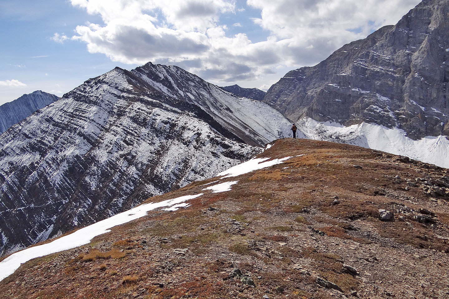
Peak 4 ahead
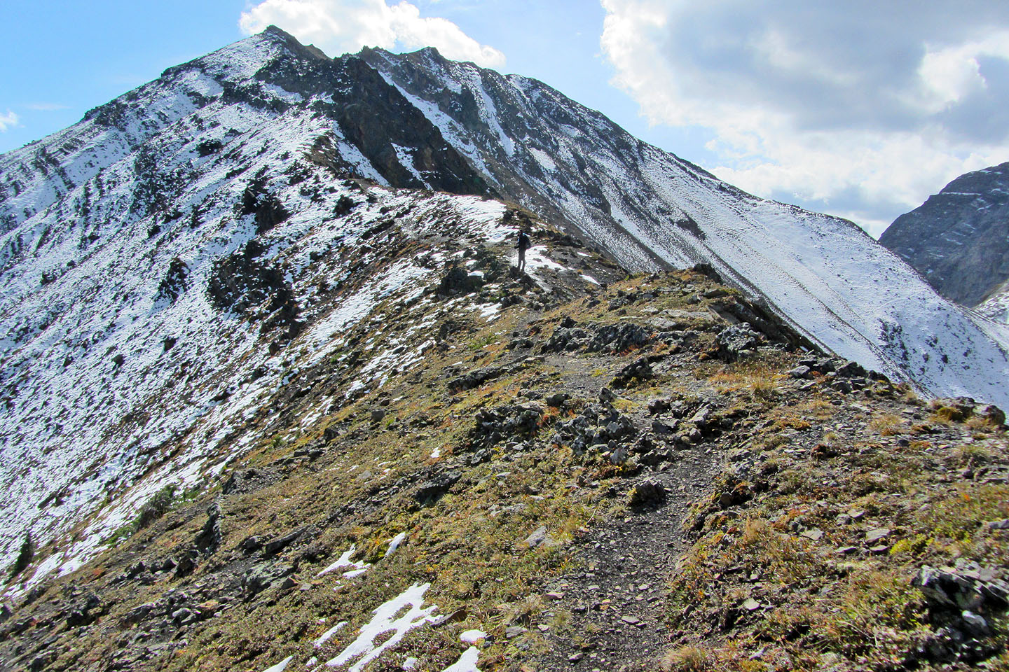
Starting up
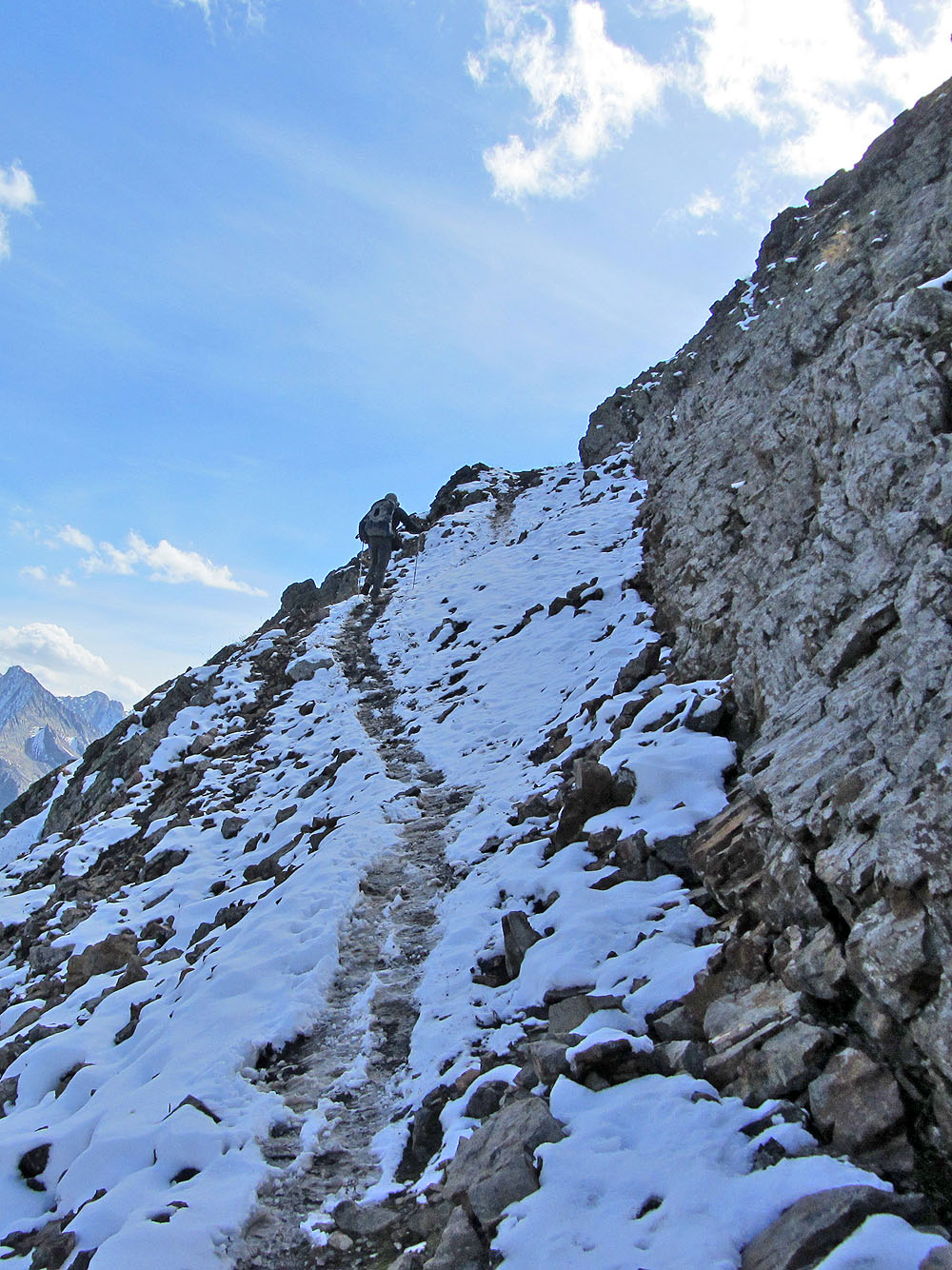
The trail was slippery with mud and snow (mouse over to look back)
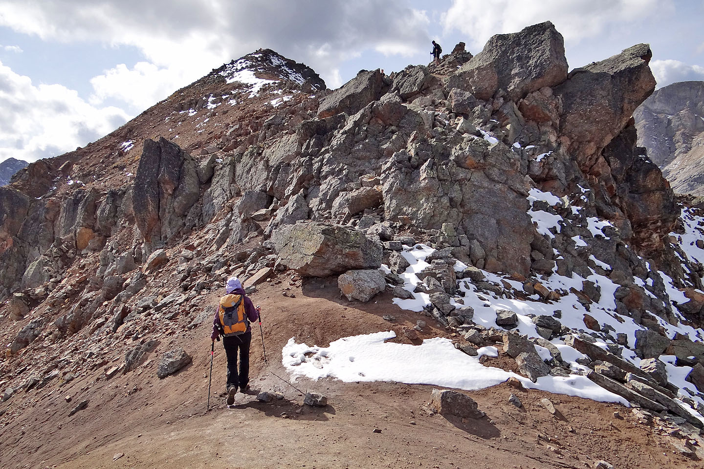
An easy trail runs through these rocks just before the summit
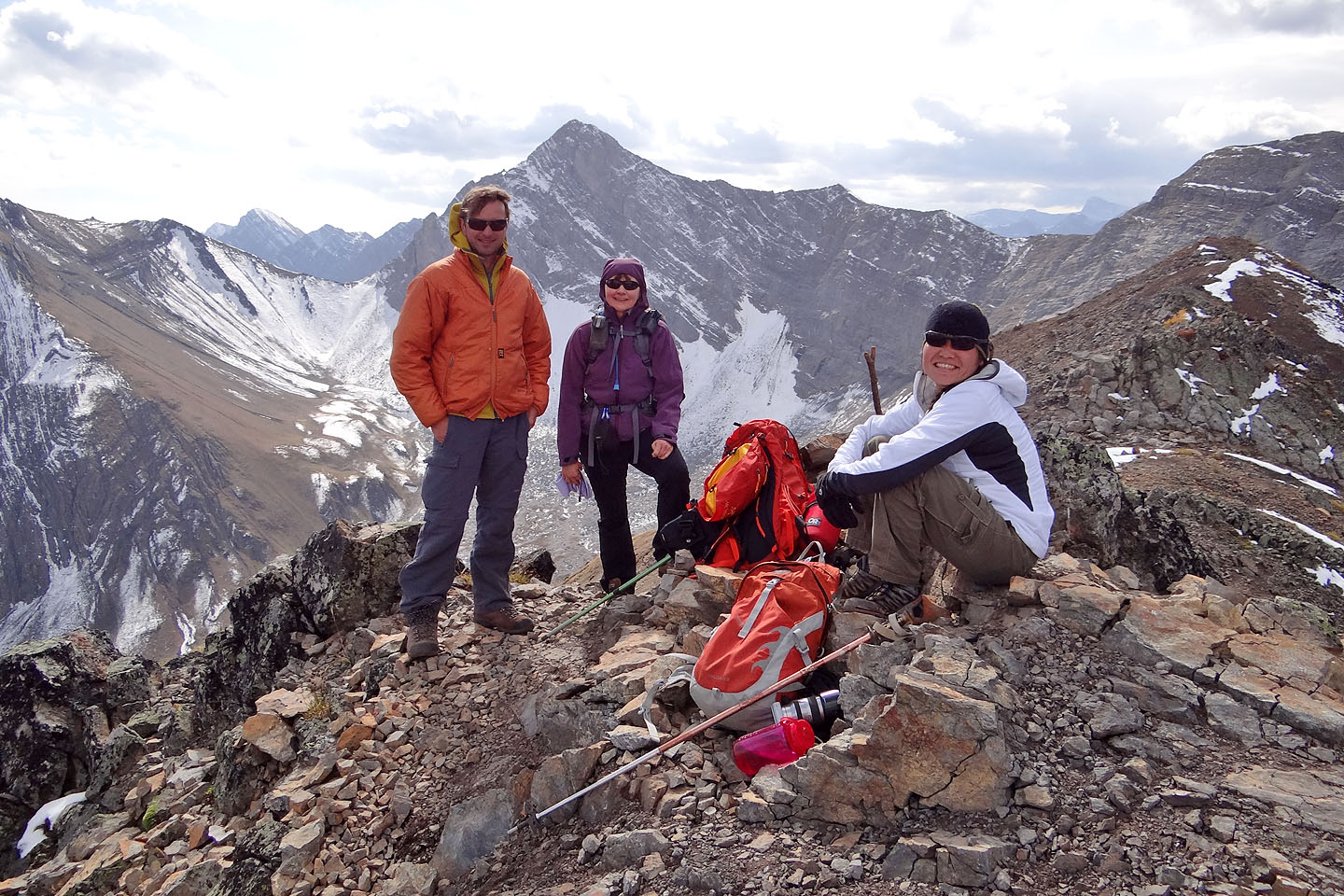
Raff, Dinah and Sachi on the summit
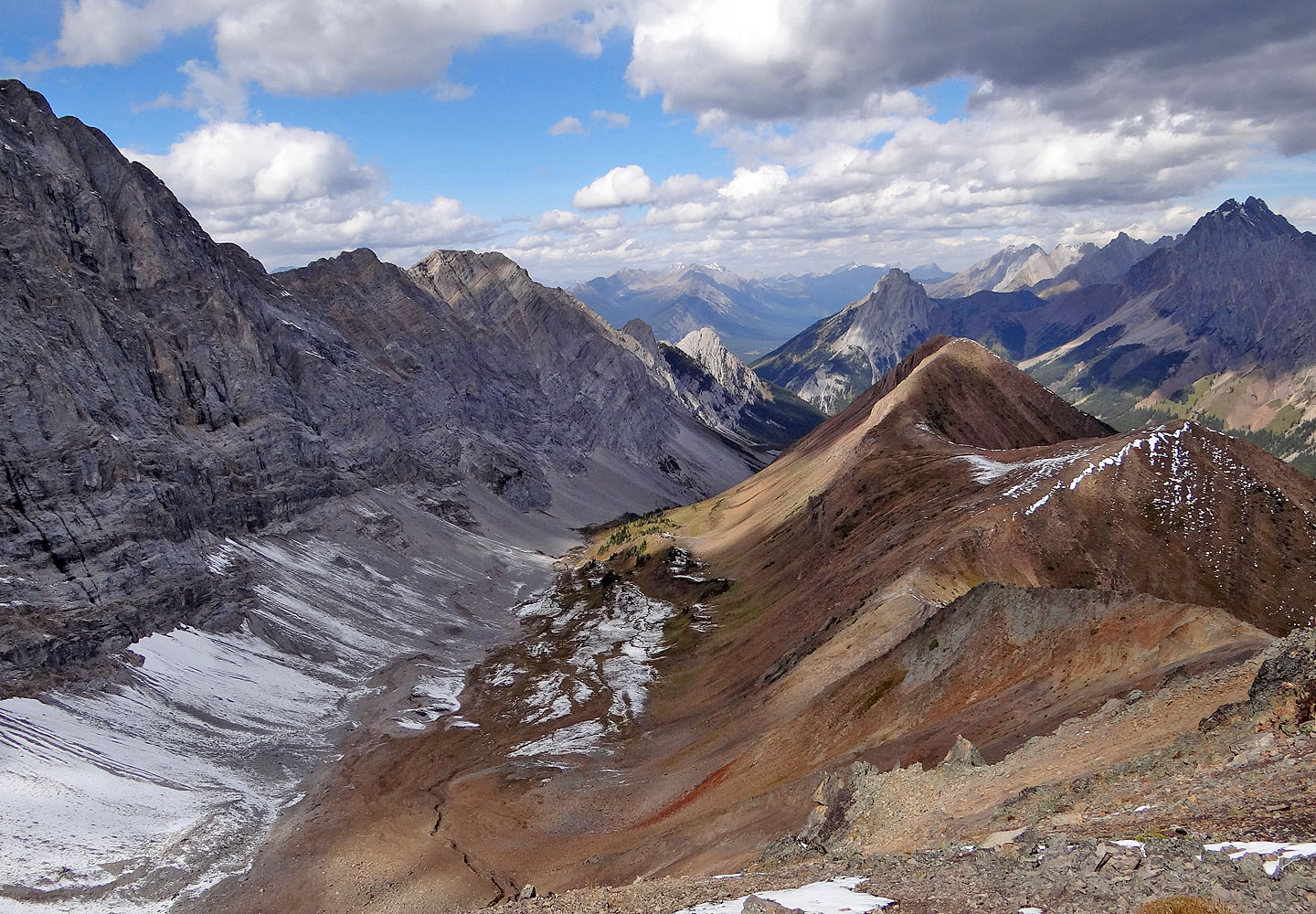
Last look at the valley and the ridge. Tiny, sunlit Mount Roberta in the centre.
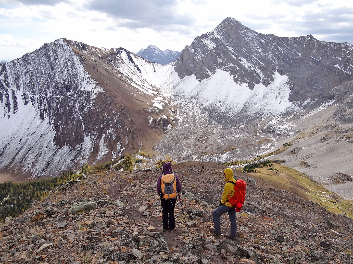
Heading down the south slope. Grizzly Ridge and Mount Tyrwhitt fill the view.
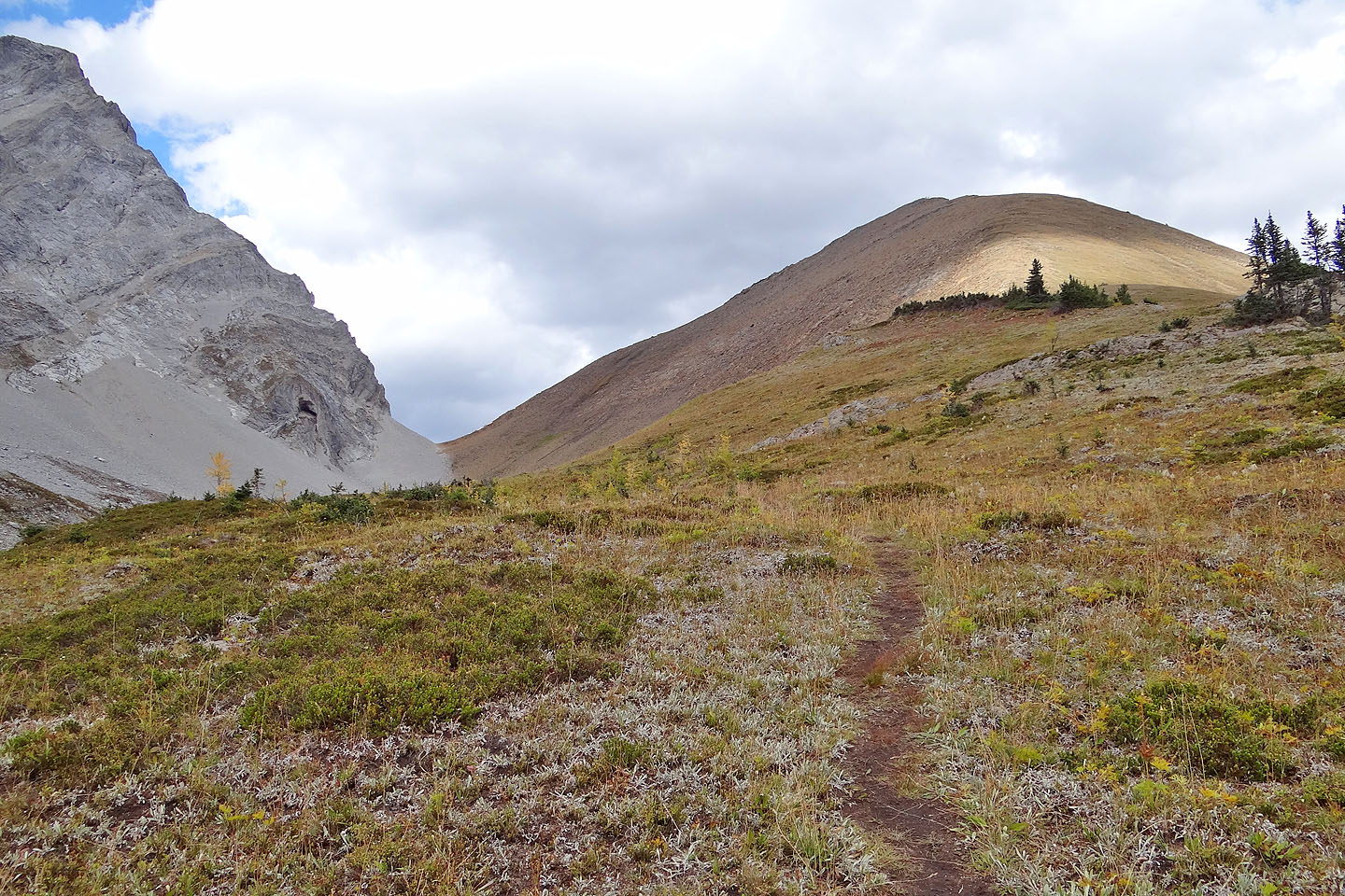
Looking back at Little Highwood Pass and the summit
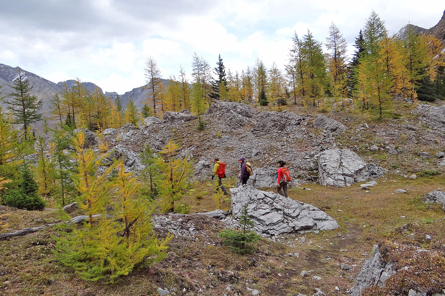
Following the trail through the larches
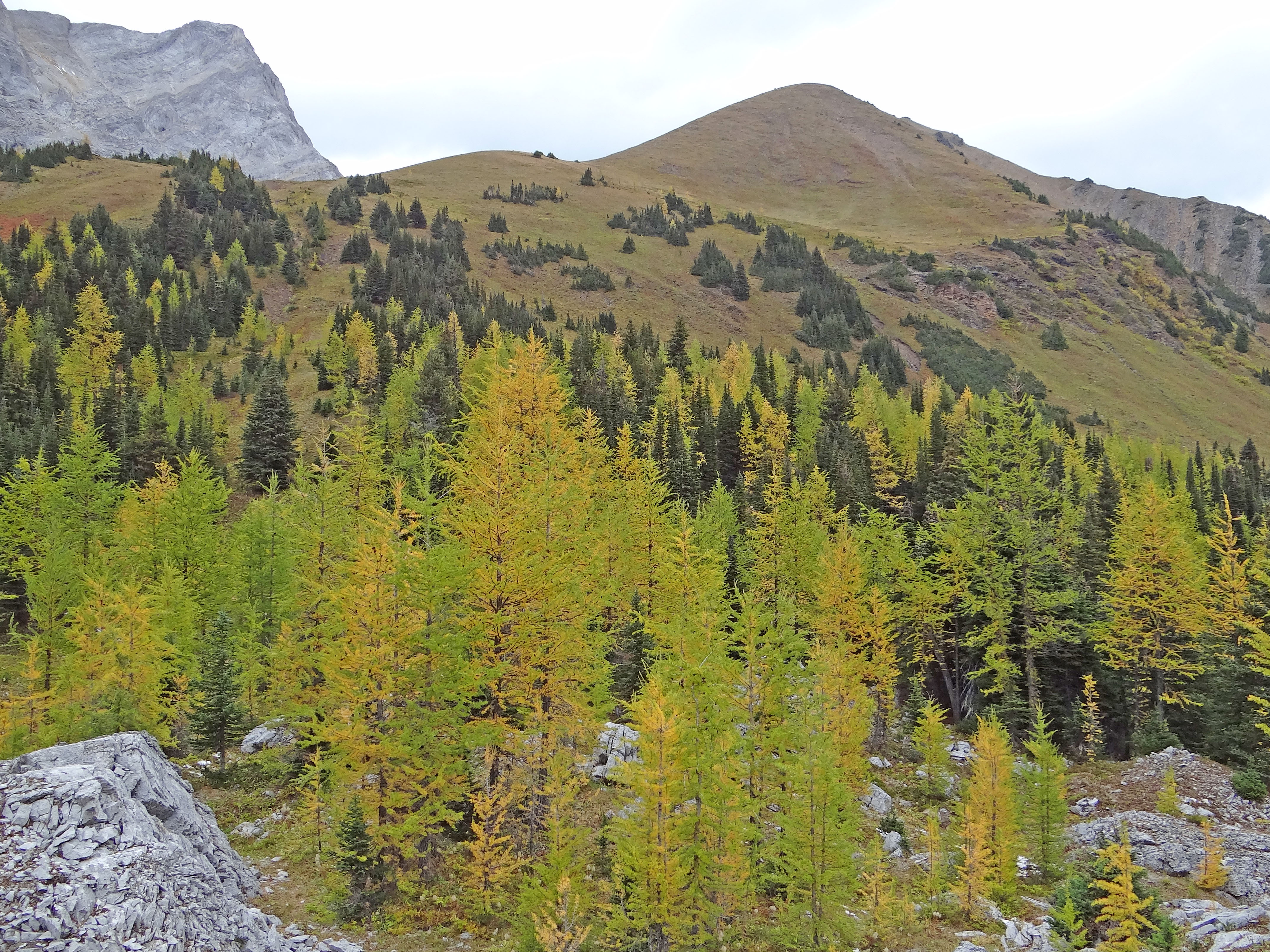
Last look at the summit
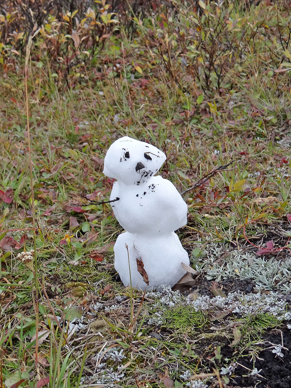
Before reaching the parking lot, we came across this tiny snowman,
a harbinger of what we can expect to see in the coming months
