bobspirko.ca | Home | Canada Trips | US Trips | Hiking | Snowshoeing | MAP | About
Gap Mountain
Kananaskis, Alberta
August 2, 2003
Distance: 5.5 km (3.4 mi)
Cumulative Elevation Gain: 780 m (2559 ft)
When Dinah and I first attempted Gap Mountain in 2000, we turned back. We followed Alan's Kane's gully route, and it was scary. Dinah hung back while I tried to cross the gully. Not only was it exposed with a deadly drop, but handholds and footholds were tiny. I got halfway across before I chickened out.
Two years later, I heard that parties ascended Gap Mountain but avoided the gully. So we set about to try and it worked; we didn't have to contend with extreme exposure. Either route begins by reaching the col between Gap Mountain and Mount El Poca. From the col, we easily scrambled up a gully on the right side of a buttress (the exposed gully is on the left side) and reached the ridge. We followed the ridge to the summit.
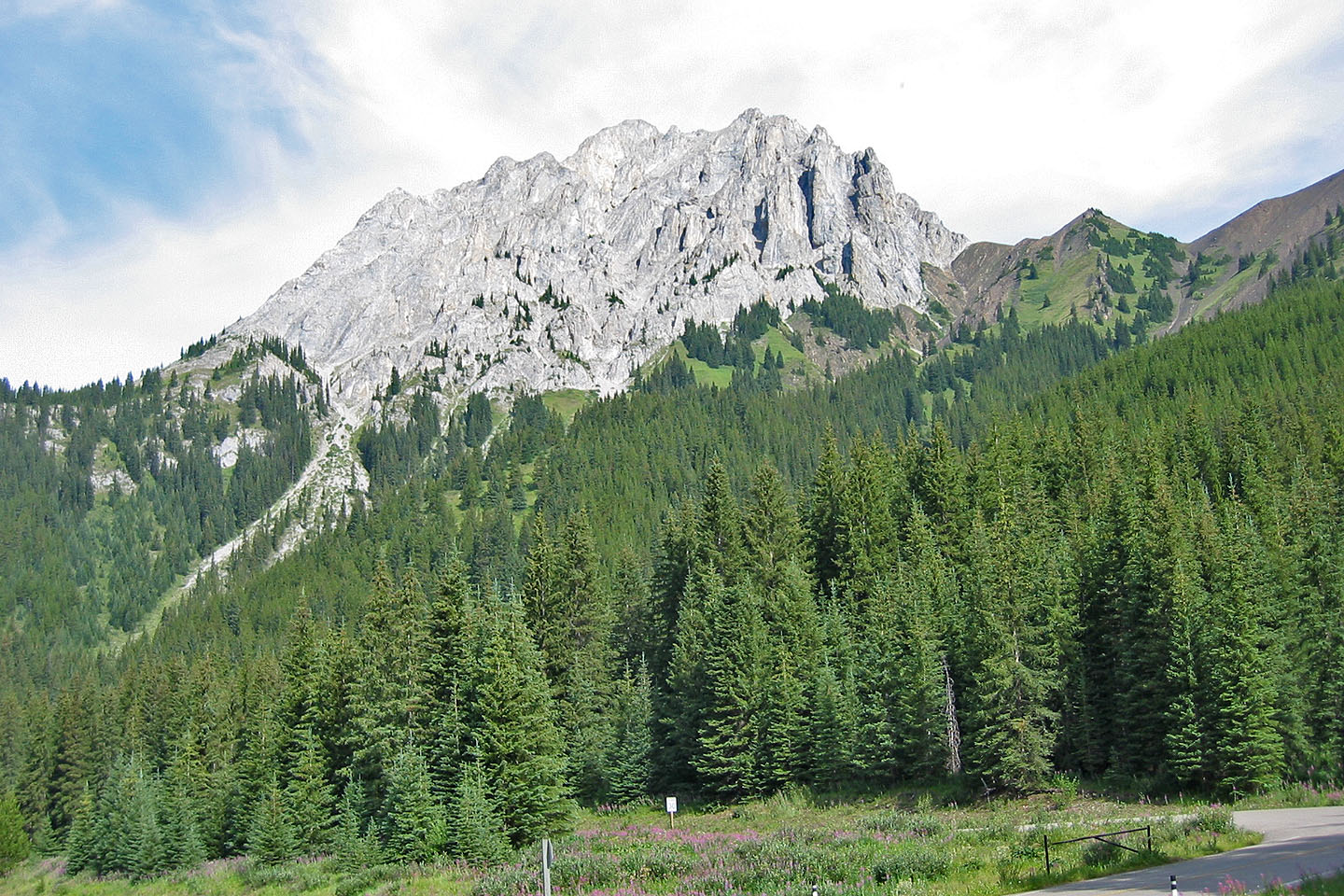
Gap Mountain from HWY 40
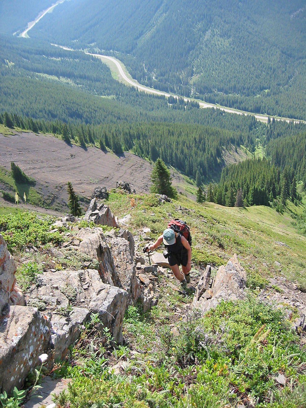
Hiking up to the col
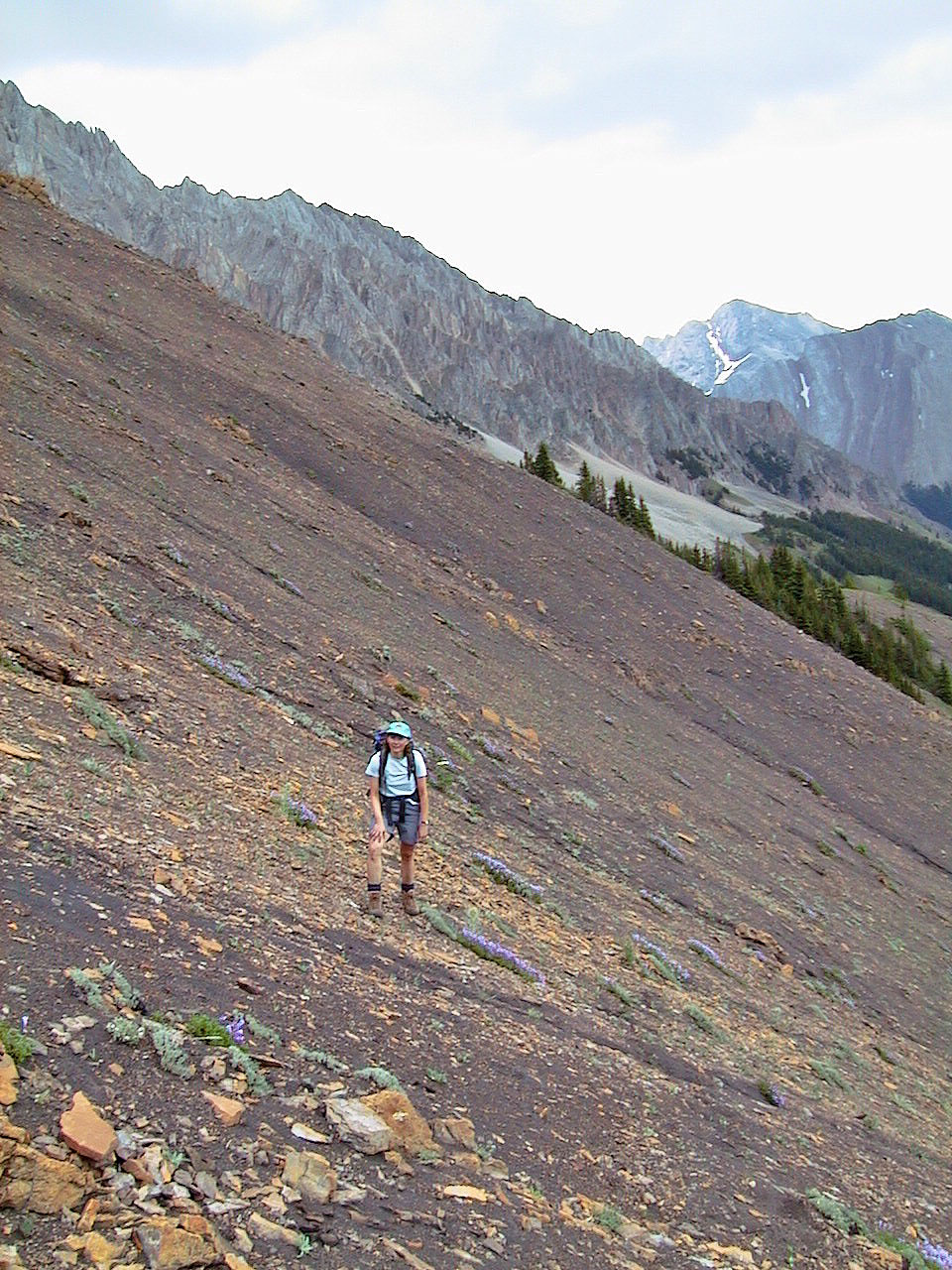
Ascending the soft scree slope
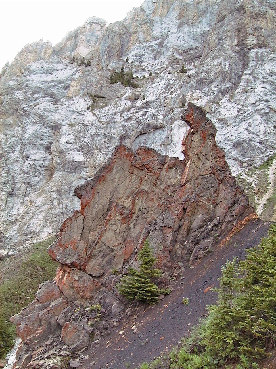
Curious outcrop
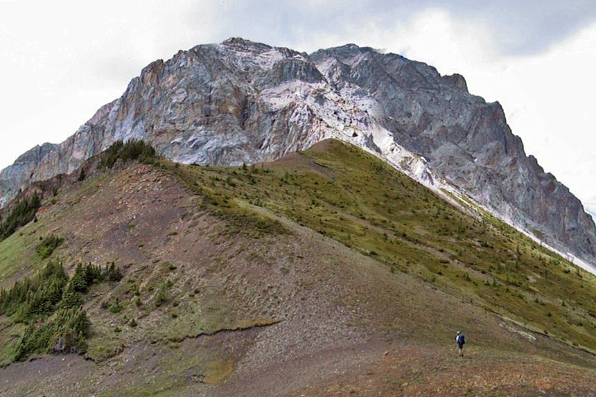
Gap Mountain from the col
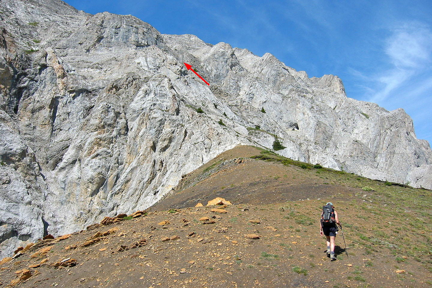
Coming up to the rocky base of the mountain. We ascended the buttress on the right.
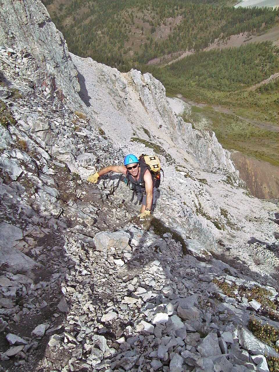
Scrambling up
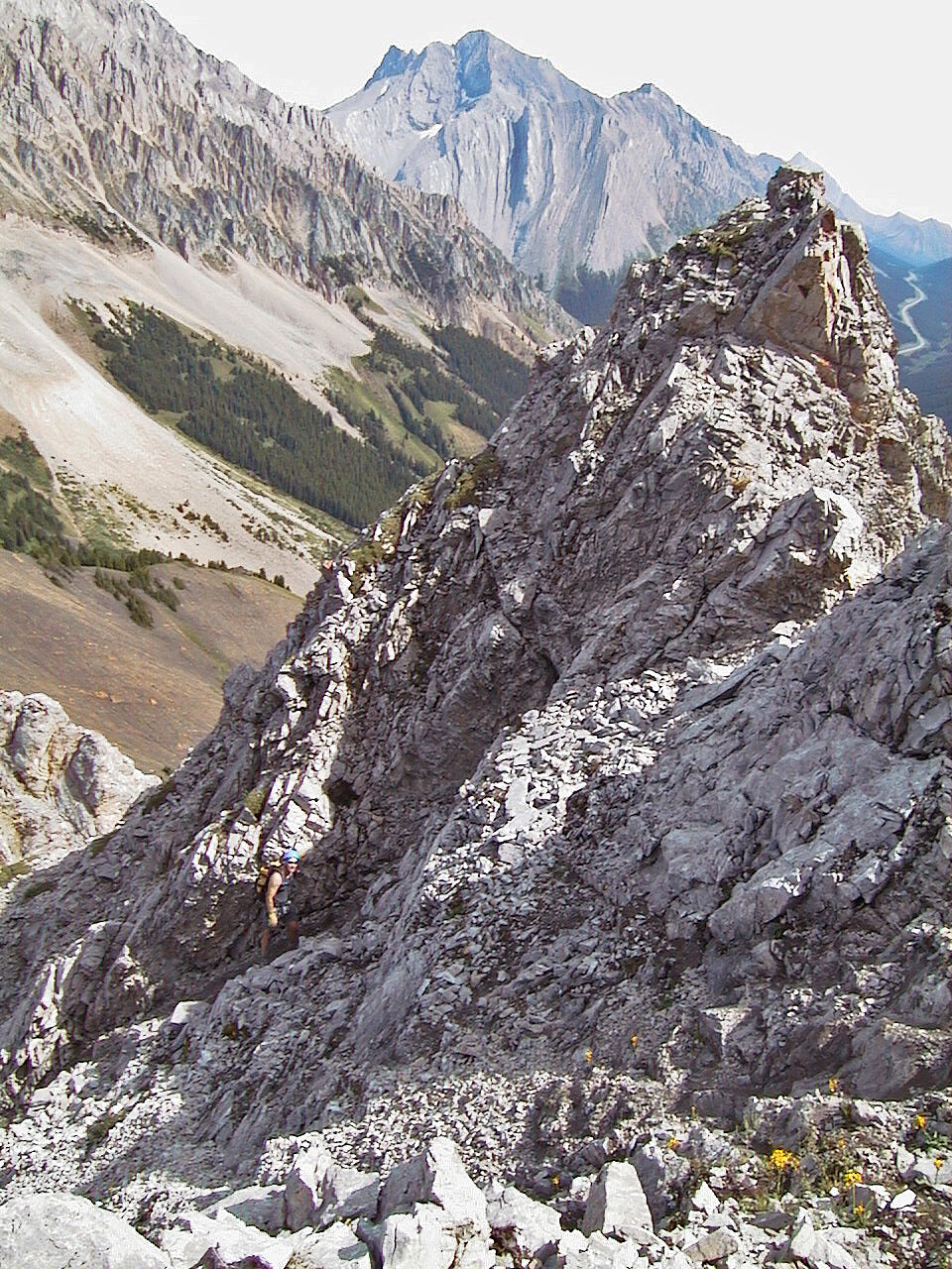
From here we gained the ridge
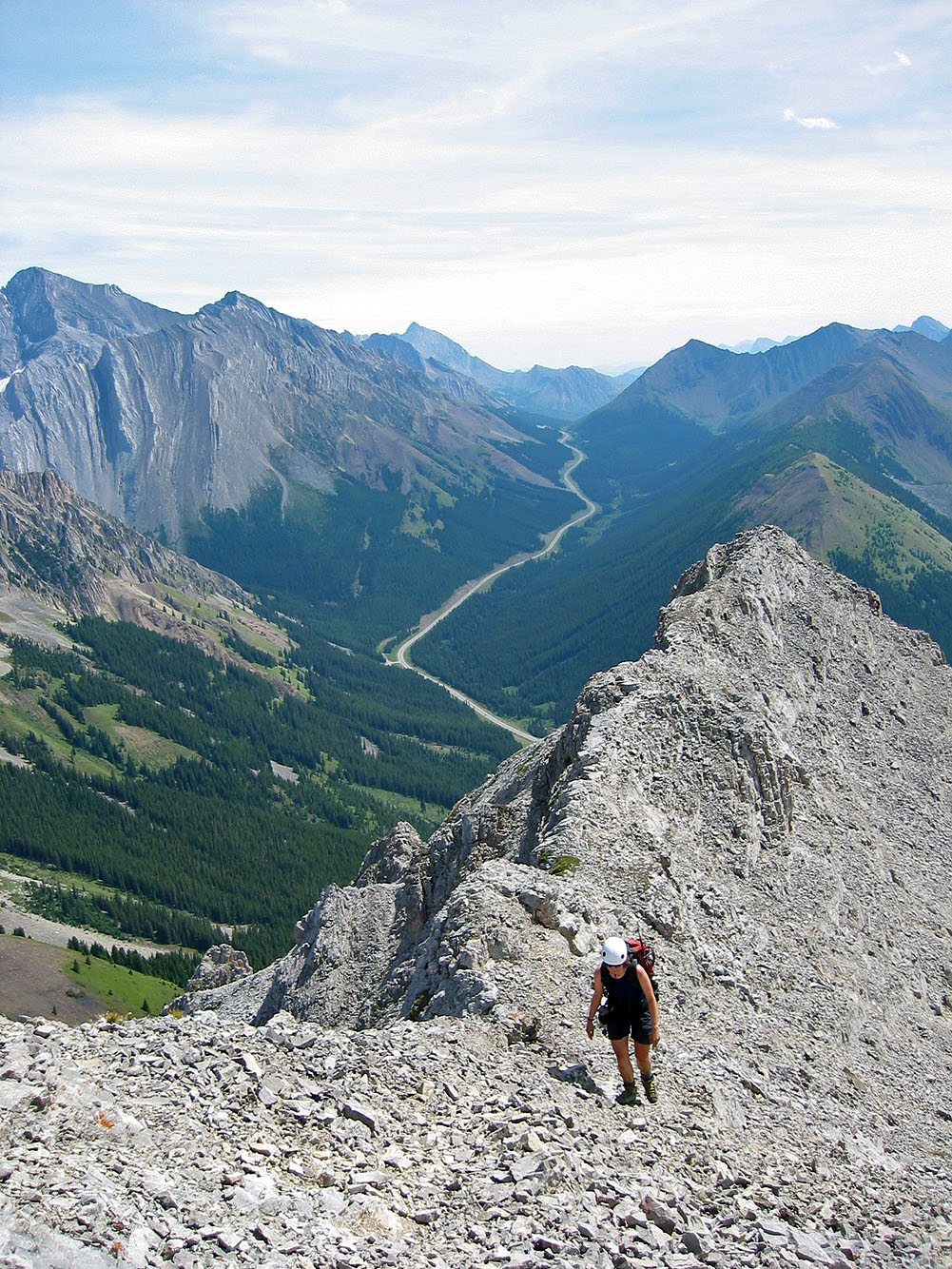
Following the ridge crest
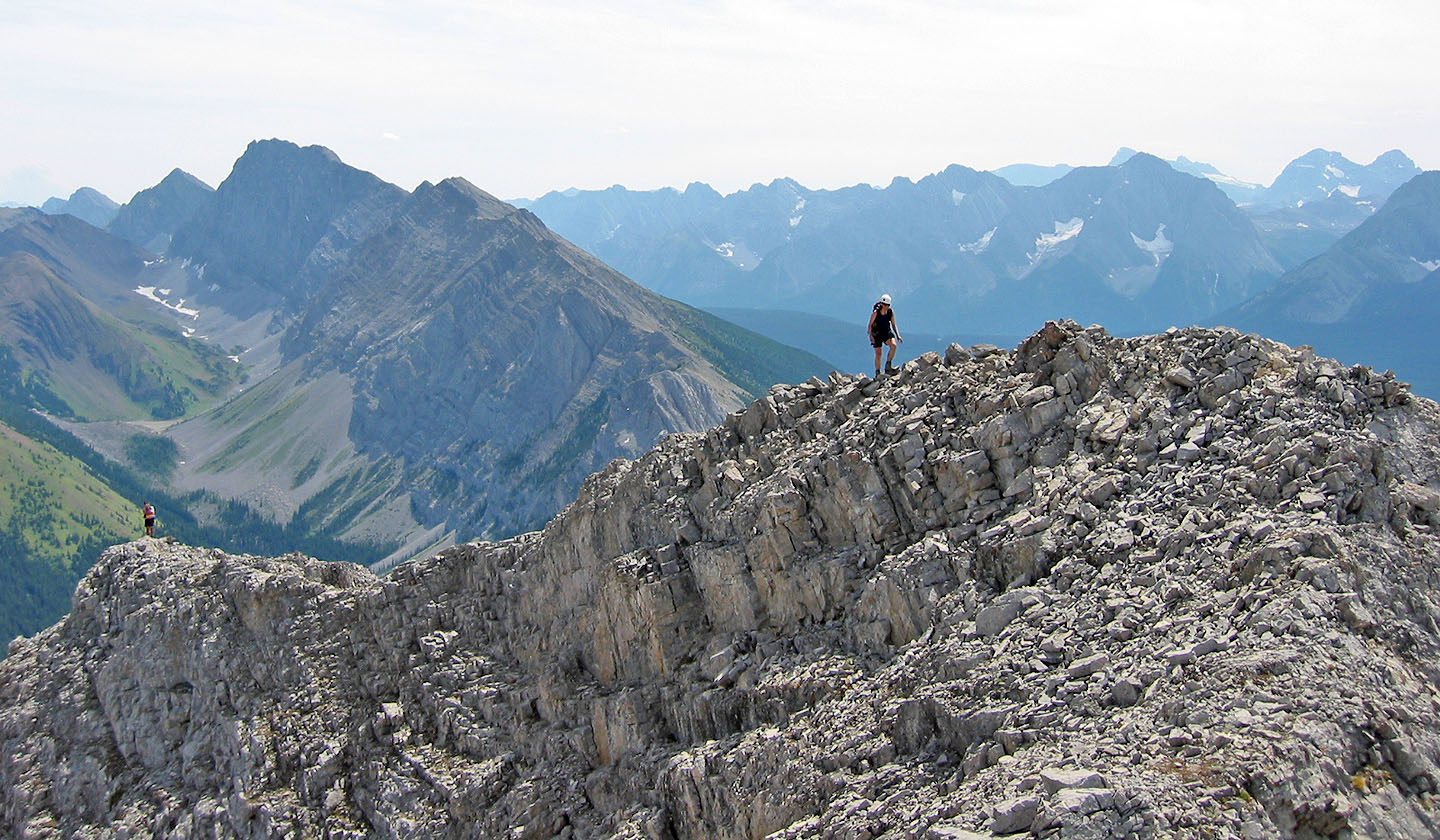
Dinah (right) hikes up the ridge as a fellow scrambler (left) descends. Later we learned it was Sonny
Bou whom knew from the RBM forum, but we hadn't yet met.
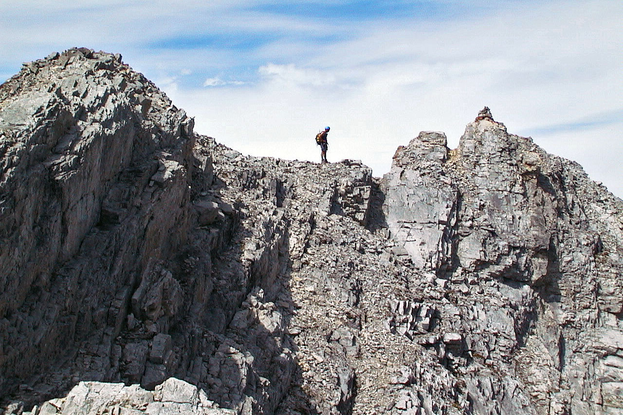
Arriving at the summit
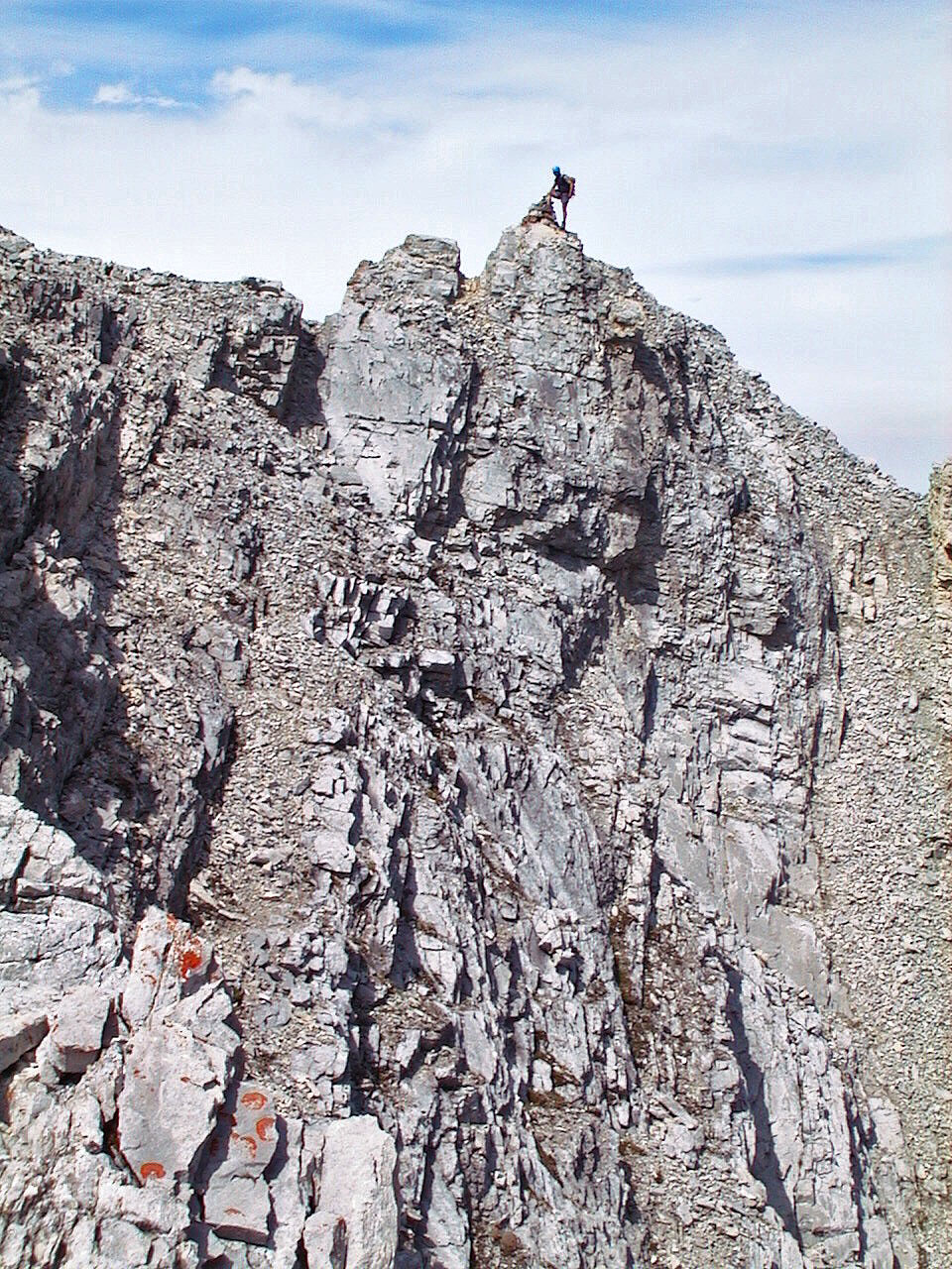
On the summit!
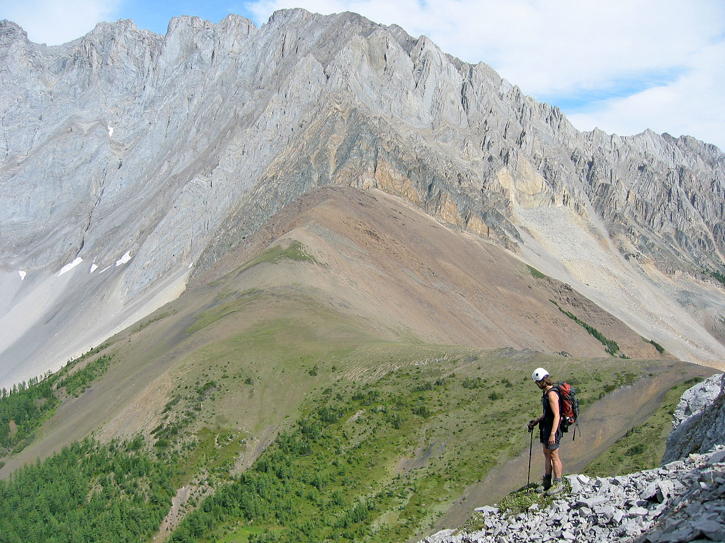
On our way back to the col
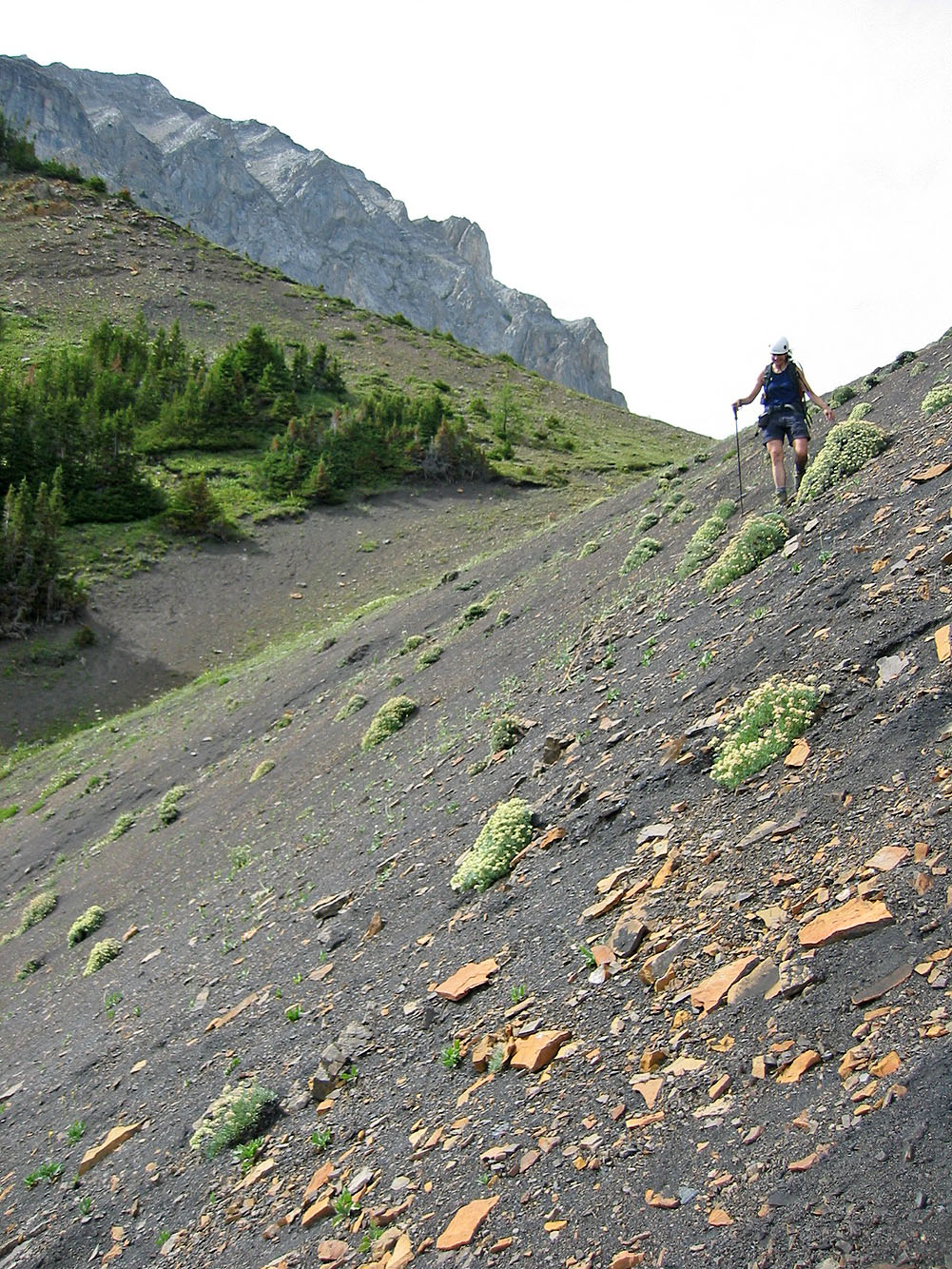
Coming down the powdery scree
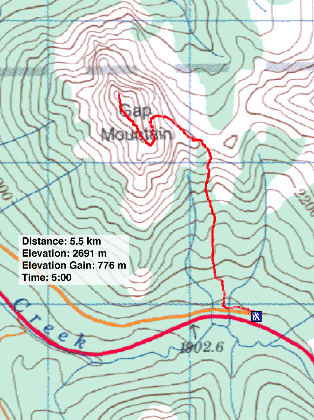
82 J/11 Kananaskis Lakes
