bobspirko.ca | Home | Canada Trips | US Trips | Hiking | Snowshoeing | MAP | About
Mount Roberta
Kananaskis, Alberta
October 12, 2015
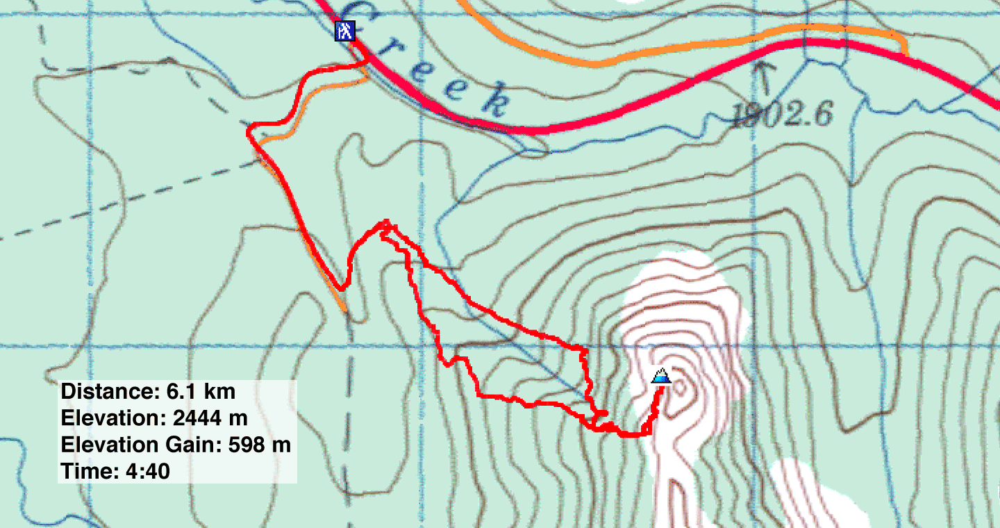
Distance: 6.1 km (3.8 mi)
Cumulative Elevation Gain: 614 m (2014 ft)
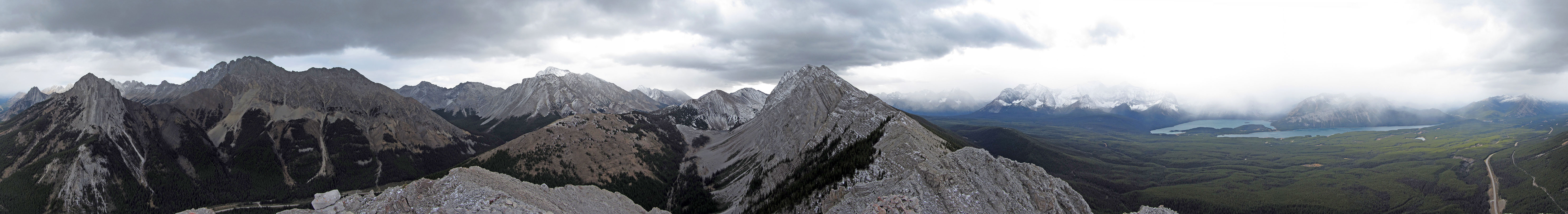
The northernmost high point of the Elk Range appears too insignificant to bear a name, yet it does: Mount Roberta. But what it lacks in stature, it makes up for in views after just a couple of hours of effort, an effort derived mostly from routefinding and bushwhacking rather than elevation gain.
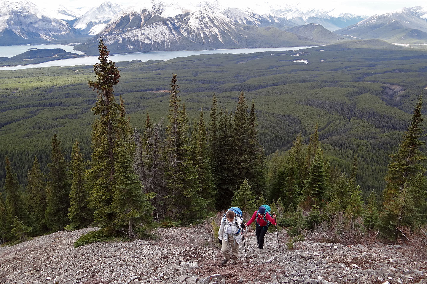
I first heard of Mount Roberta when I read Marko Stavric's posting two years ago. Like him, Zora, Dinah and I parked at the entrance to a fire road about 8.5 km south of the seasonal gate for Highwood Pass on Hwy. 40. After walking a kilometre up the road, we found the animal trail Marko used and started up it.
Instead of ascending the northwest ridge as he did, we decided to try the gully on the other side of the ridge. I figured it would be easier to navigate a sparsely-treed gully than a forested ridge. So we kept to the trail hoping it would lead to the gully. When it didn't appear to draw closer, we gave up and set out for the gully. Due to a preponderance of willow bushes, this was a hellish task, but eventually we reached the gully.
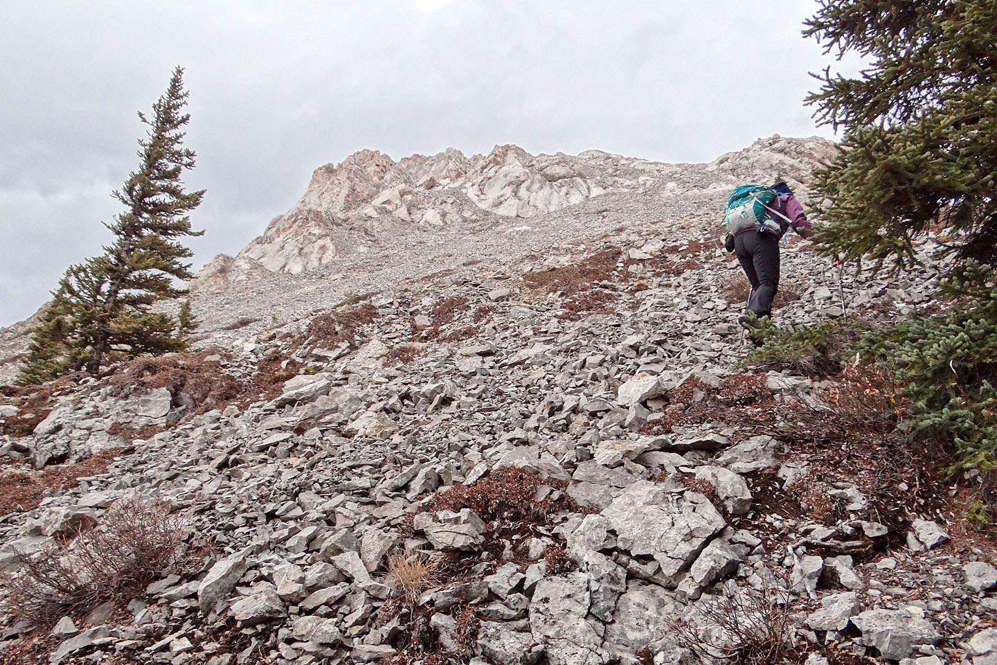
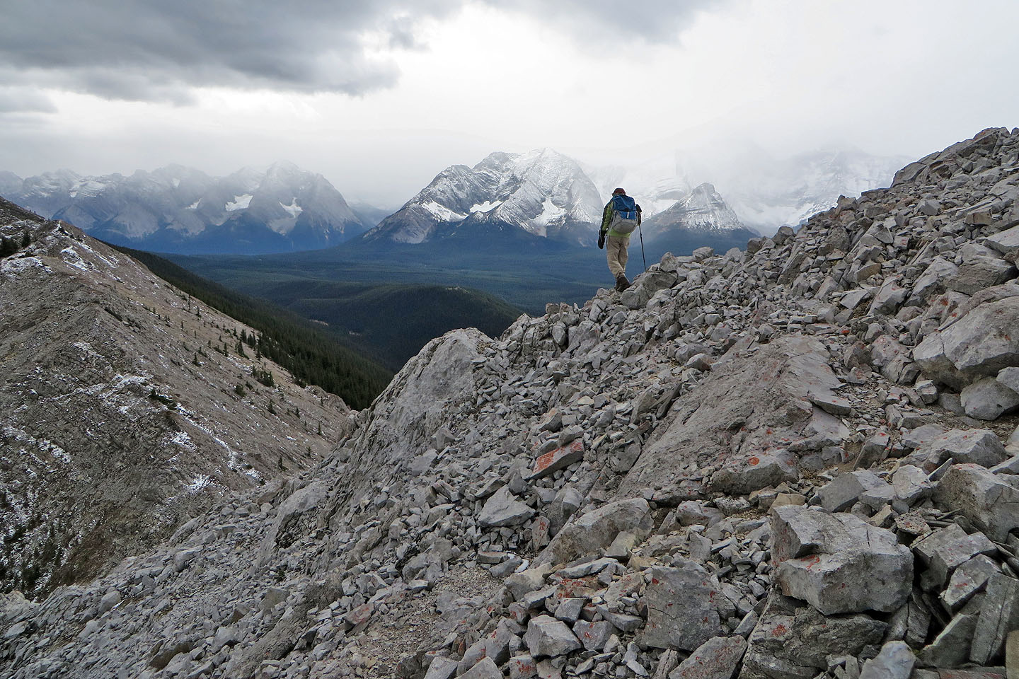
The broad gully, it turned out, was no picnic. Small evergreens spread across it, limiting our views. Bushes, deadfall and loose rock filled the gaps between the trees. It wasn't at all pleasant. We eventually settled into an uncluttered corridor, but it too had its drawbacks. It became filled with scree and veered away from the ridge, away from where we wanted to be. When it became too steep to follow, we traversed right and made our way to the ridge.
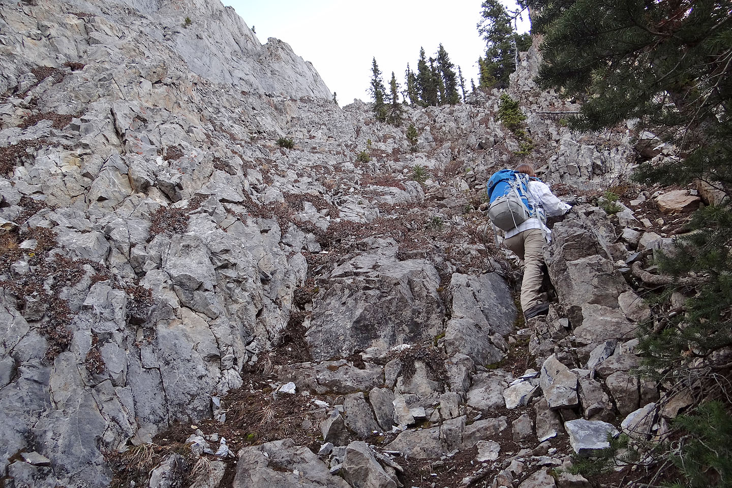
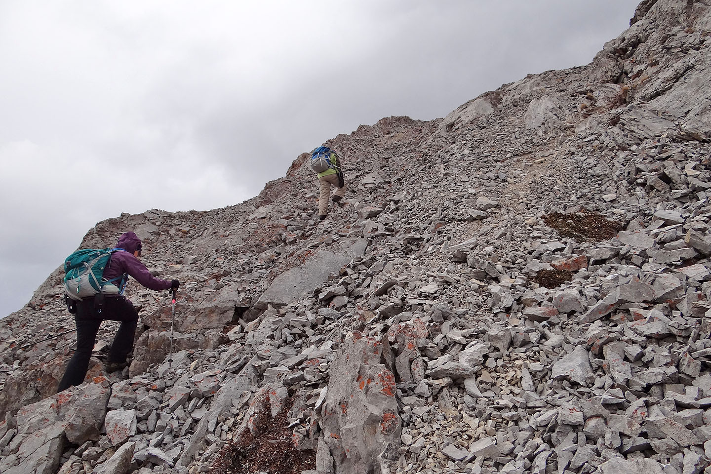
After gaining the ridge, navigating became simpler. Using paths and passageways in the trees, we easily reached the rocky slope just below the col south of the summit. A short, easy scramble led to the top of Mount Roberta.
On a clear, mild day, we would have lingered on the summit to look around. But it was cold, and overcast skies blunted the mountain scenery. We soon headed back to the col.
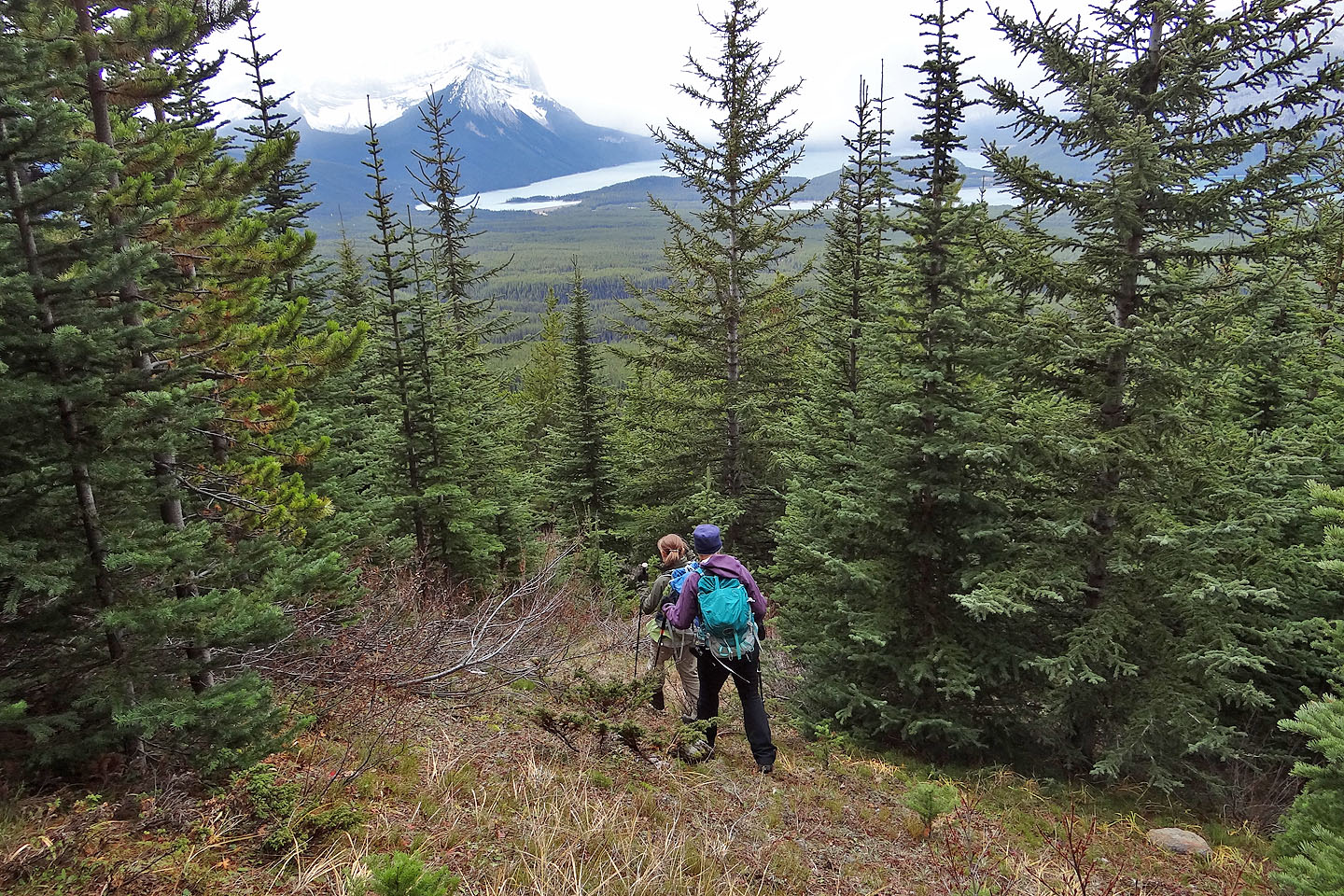
Not wanting to revisit the ugly gully, we decided to take our chances with the northwest ridge and follow it to the animal trail we ascended earlier. To our surprise, the bushwhacking wasn't bad. By connecting small glades and crude animal trails we were able to avoid most of the troublesome bushy areas. One thing I found vexing, however, was that the ridge isn't well defined; it was easy to drift off the crest. But overall, we far preferred the ridge to the gully. We made our way back to the fire road and our car.
I don't expect Mount Roberta ever to become popular unless someone builds a trail up the ridge. But as a half-day hike, this minor point is worth consideration.
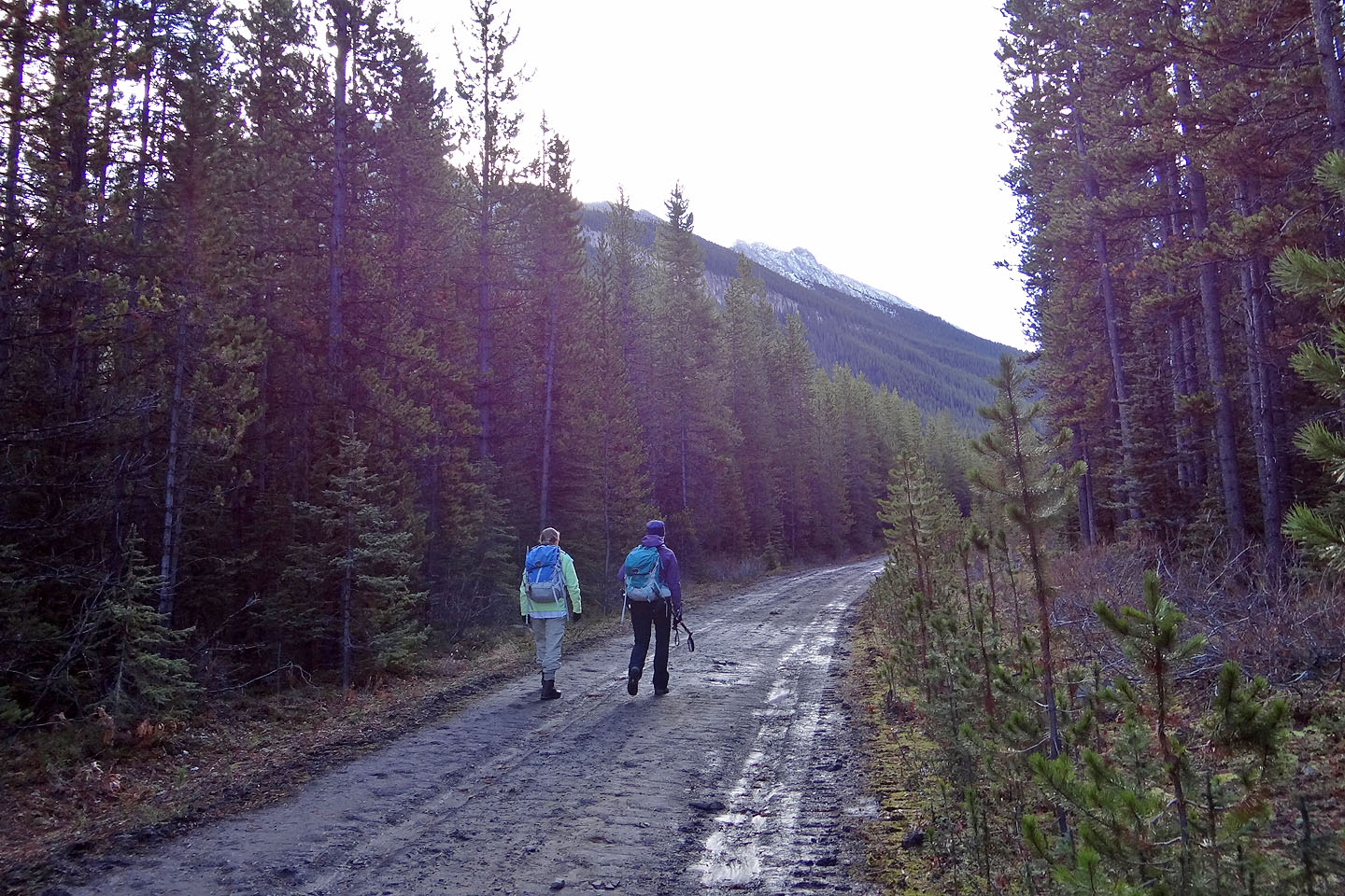
Walking up the fire road
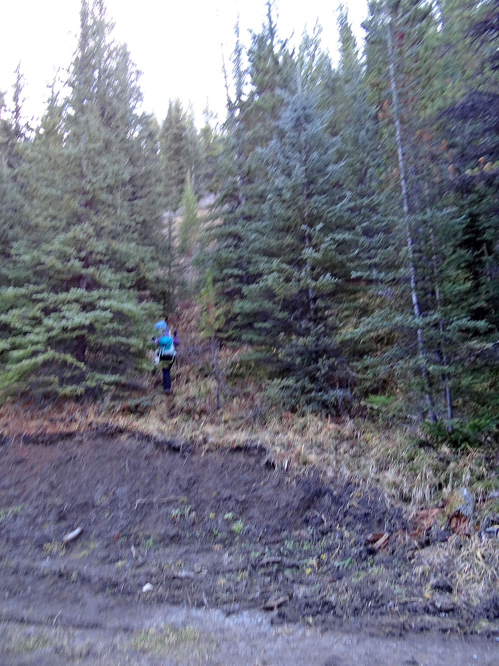
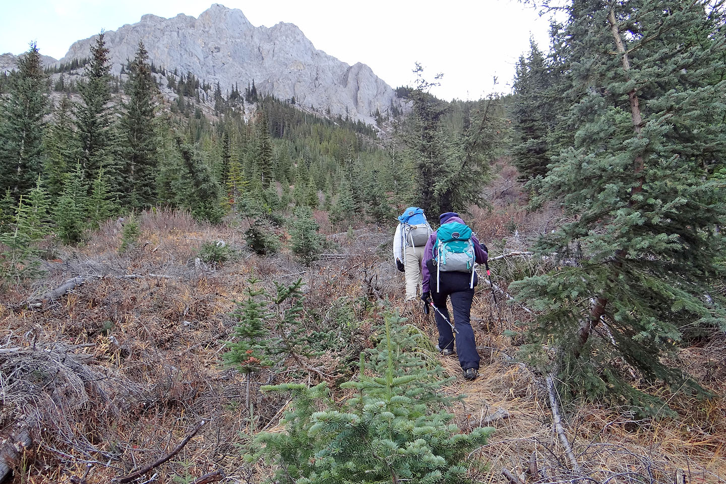
We left the road here and started up a trail
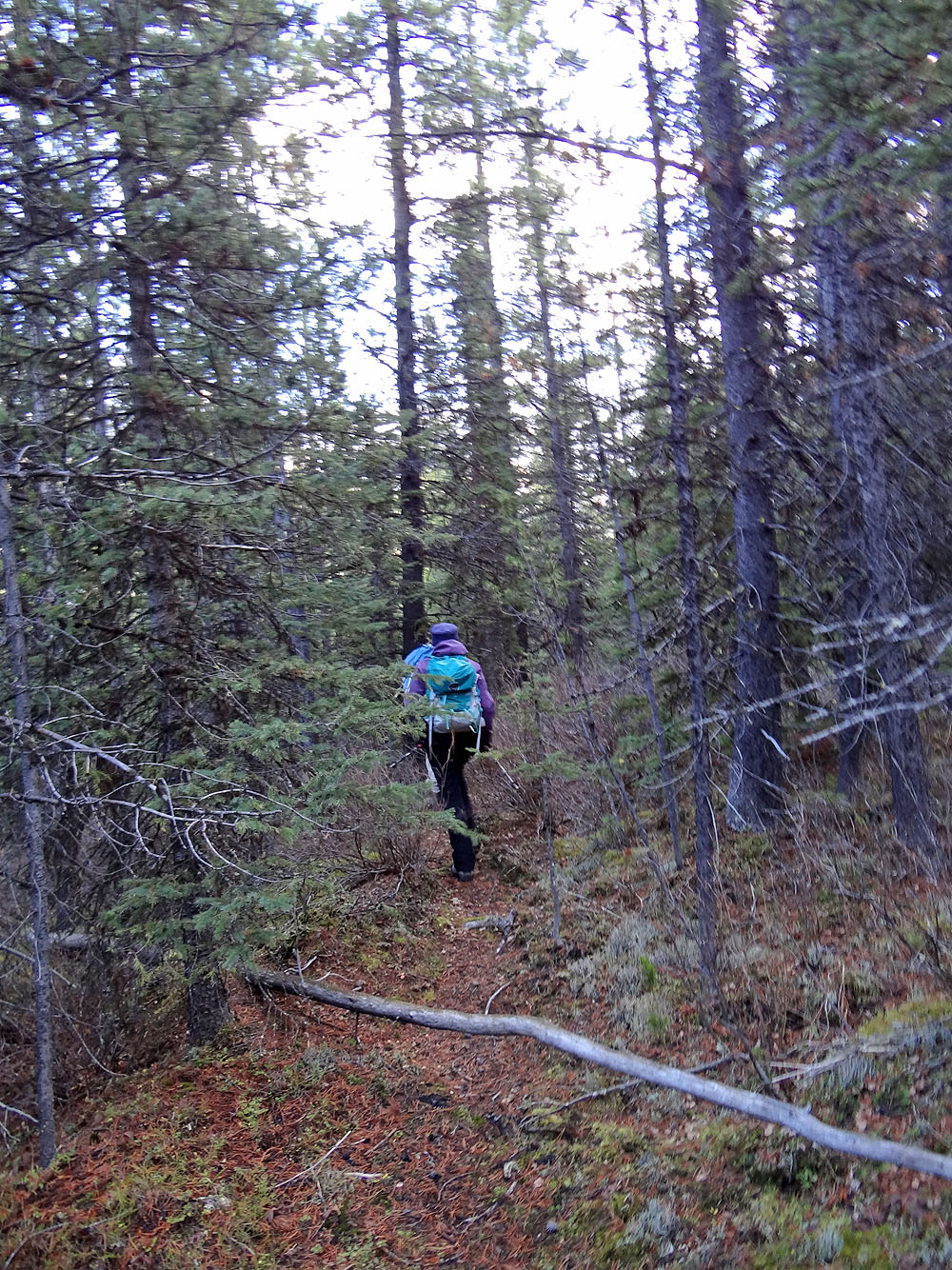
Following the trail
Hiking up the broad gully
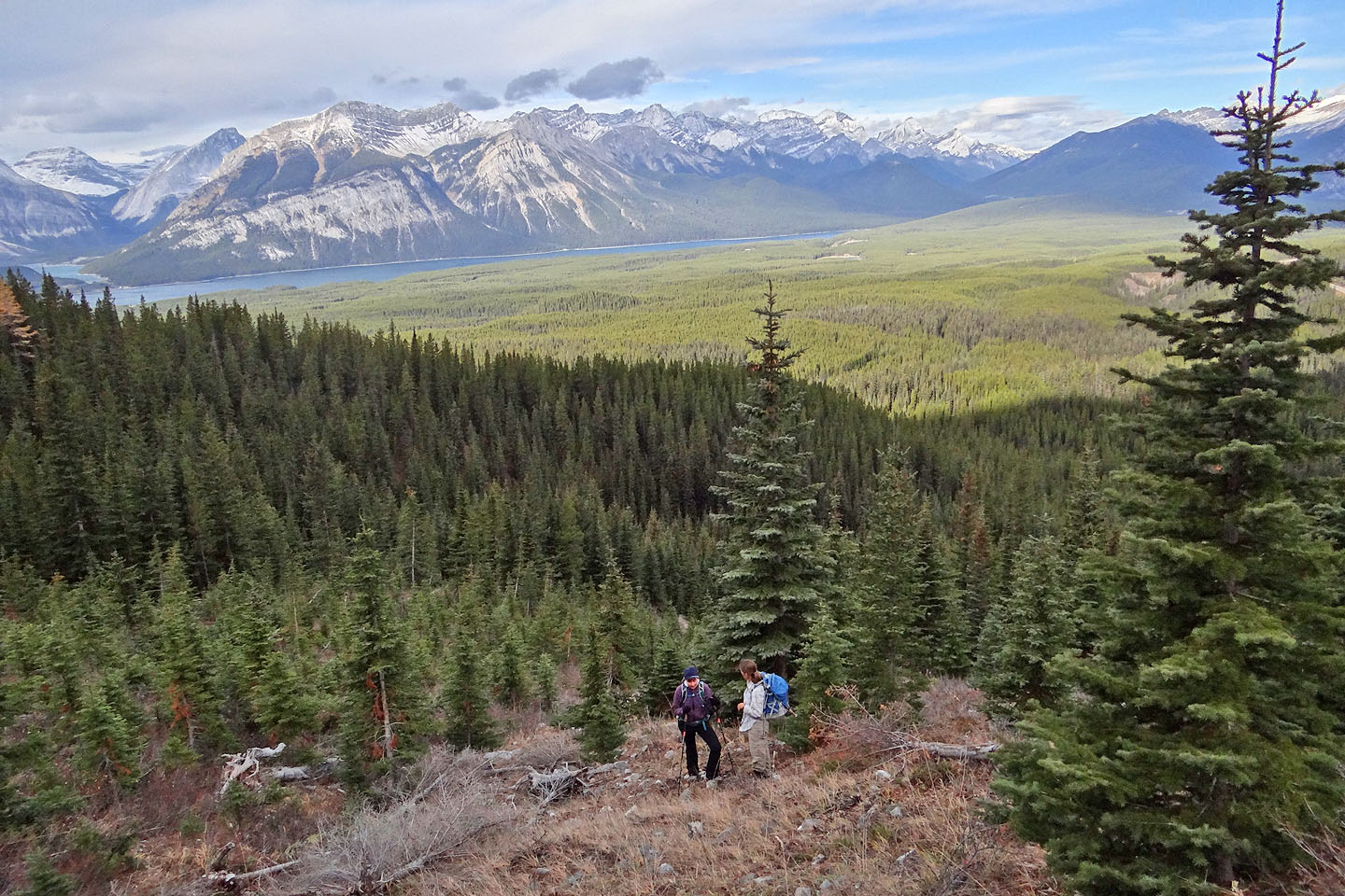
Looking back
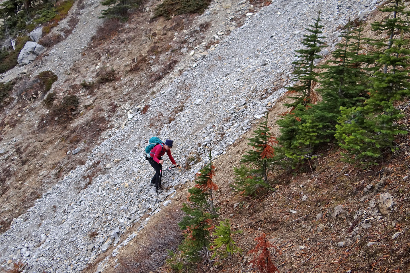
When the slope became too steep to continue, we traversed to the ridge
We were tempted to scramble up this rock chute, but we didn't want to commit ourselves.
Apparently it narrows and runs all the way to the col (mouse over).
After exiting the gully we emerged onto a ridge
After threading through trees, we reached the treeline and headed to a col on our right
(mouse over to look back)
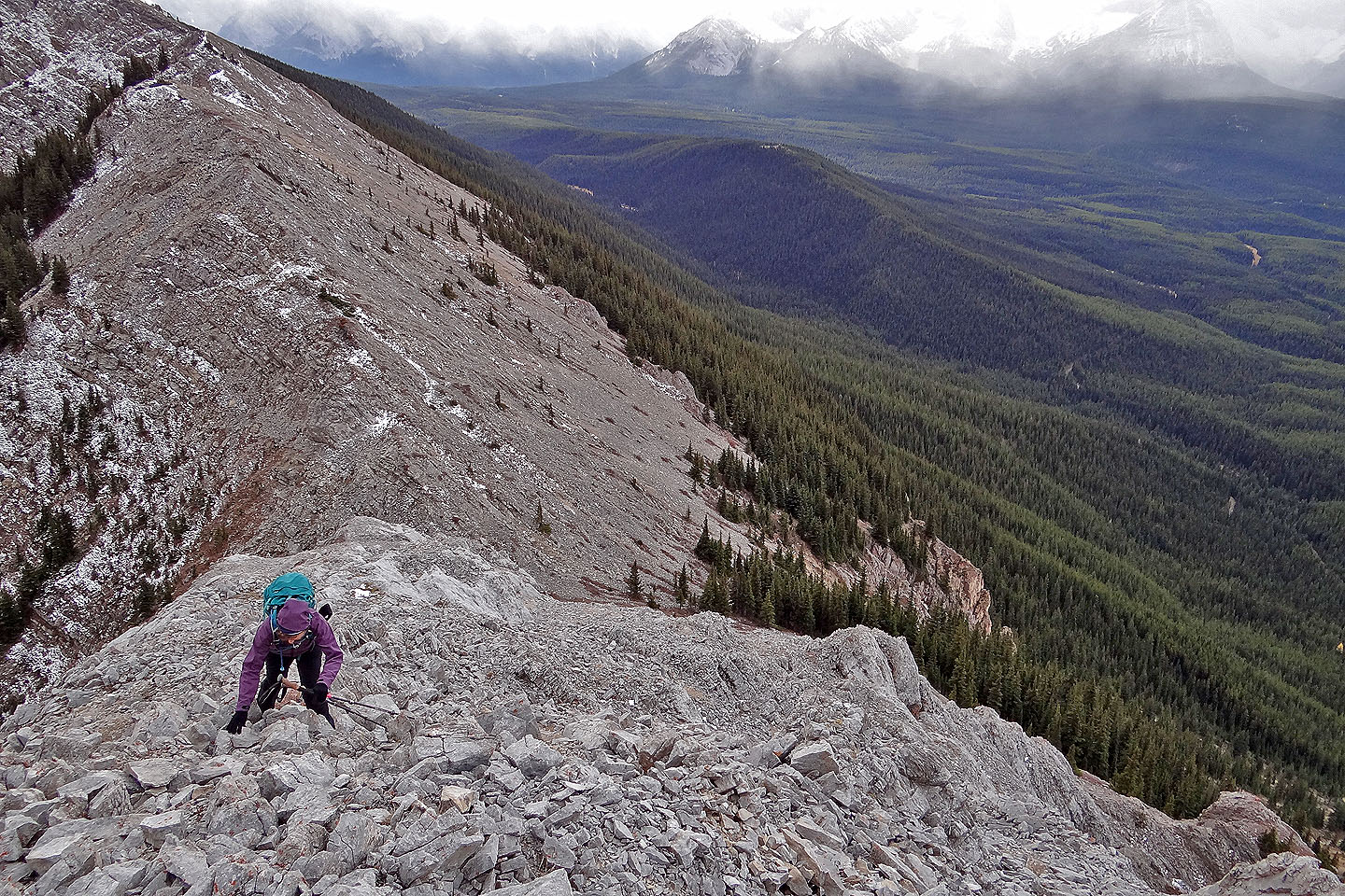
Climbing up from the col
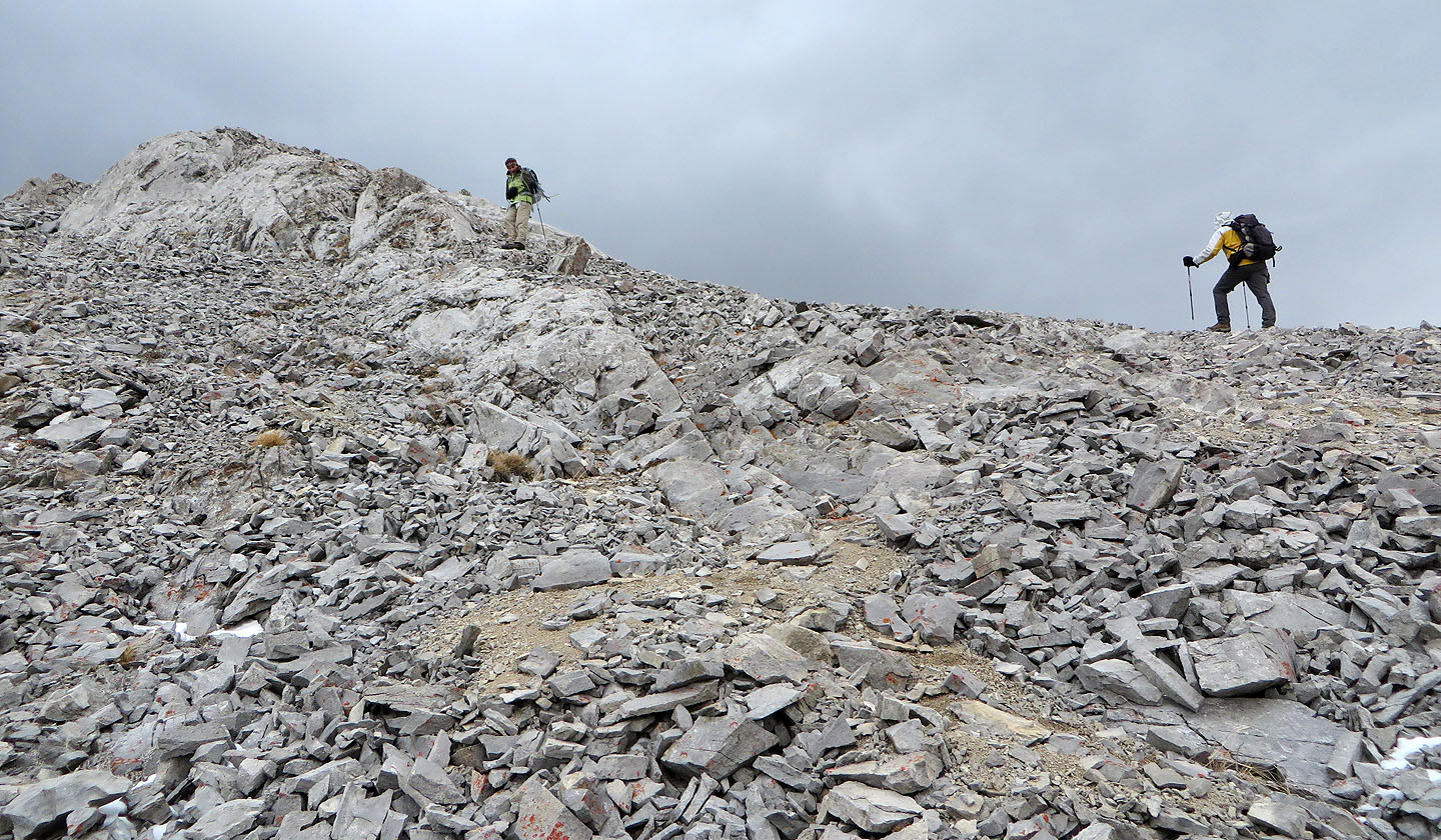
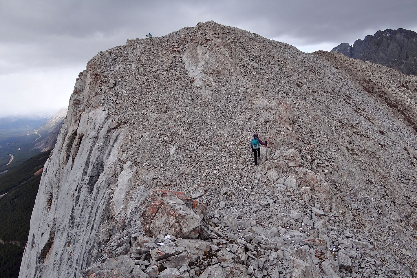
Heading to the false summit
Looking back
The true summit seen from the false summit
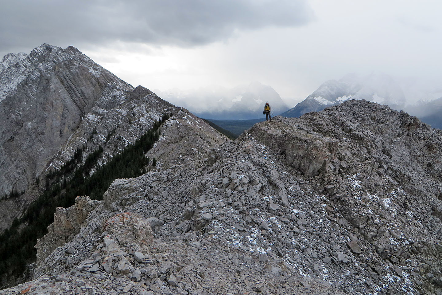
Looking back at the false summit
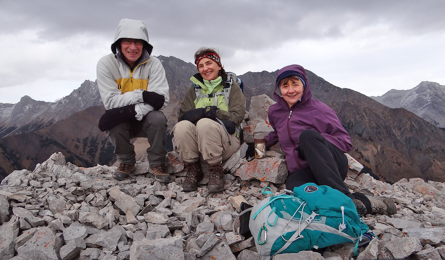
Sitting next to the summit cairn. Note the ancient mason jar used for the register.
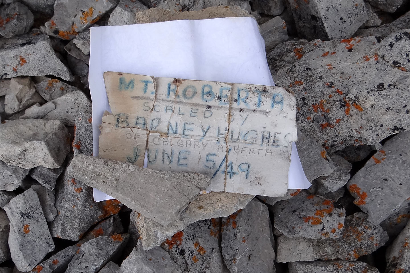
The register dates back to 1949!
Heading back down to the col
Coming down the northwest ridge
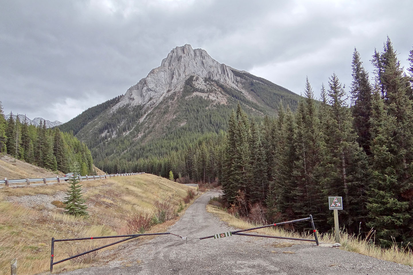
Mount Roberta from the trailhead
82 J/11 Kananaskis Lake