bobspirko.ca | Home | Canada Trips | US Trips | Hiking | Snowshoeing | MAP | About
Pocaterra Ridge
Kananaskis, Alberta
July 31, 2021
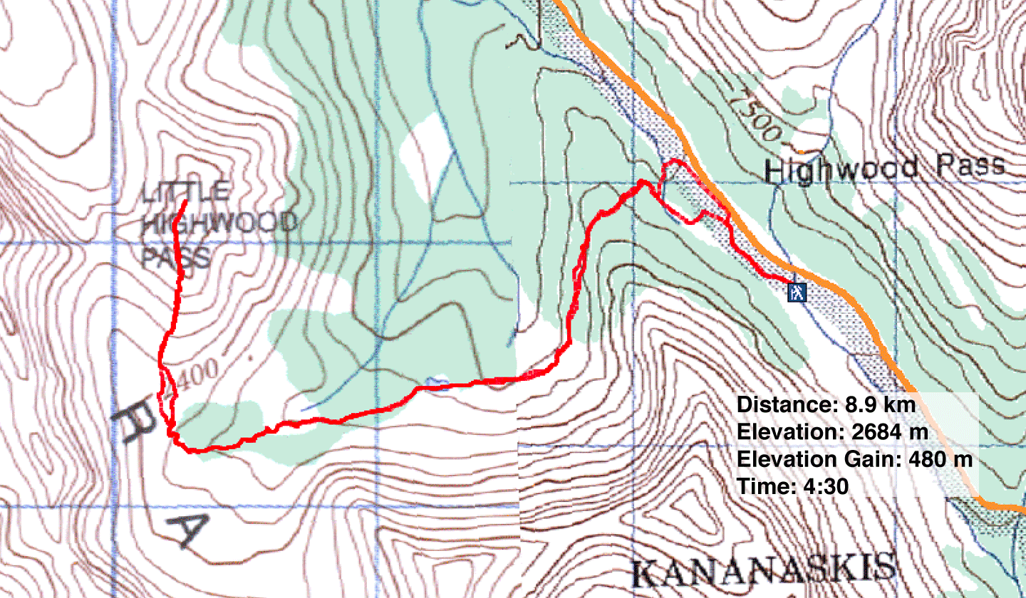
Distance: 8.9 km (5.5 mi)
Cumulative Elevation Gain: 515 m (1690 ft)
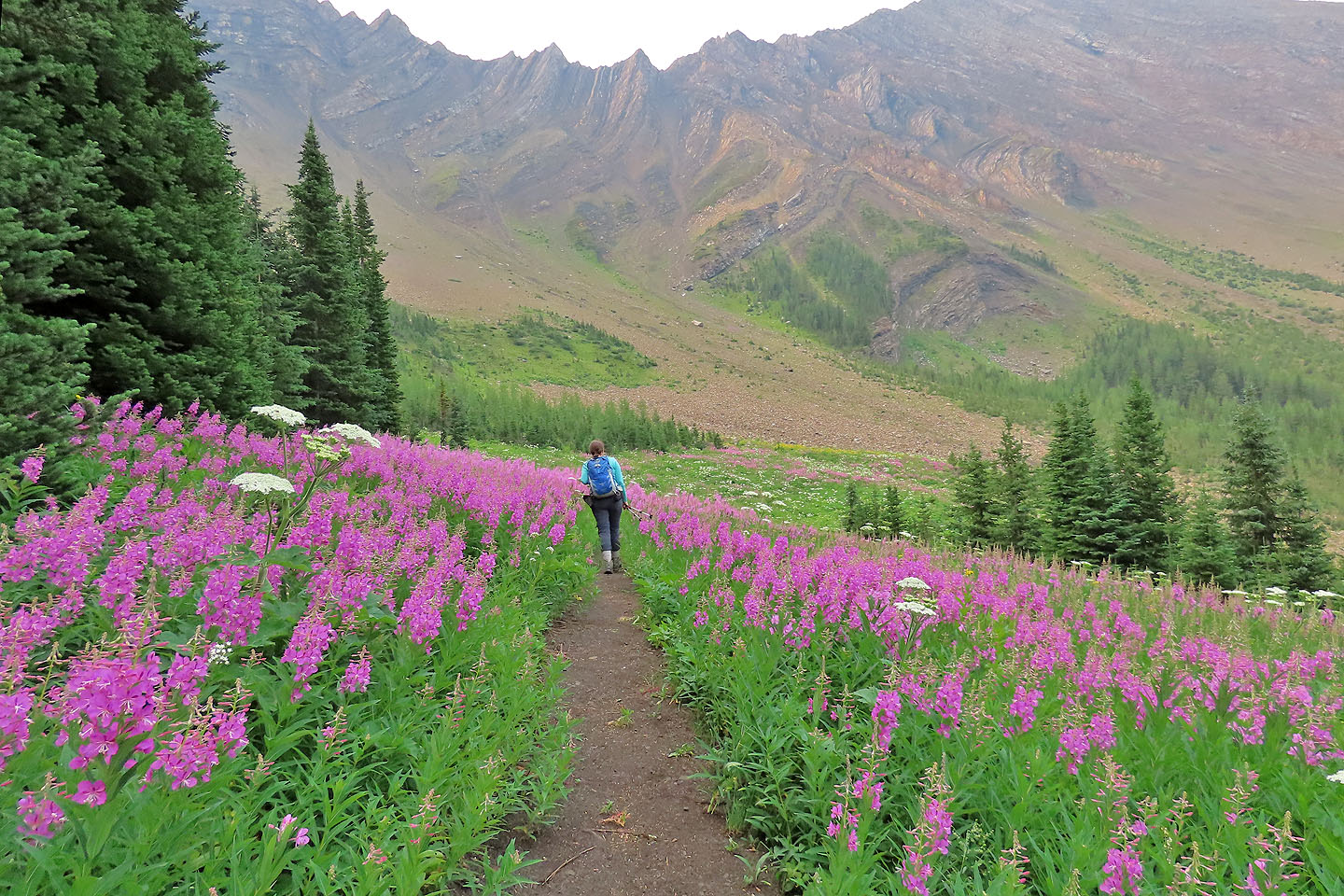
Undoubtedly the most popular way to reach Pocaterra Ridge is from Highwood Pass. But having traversed the ridge north to south, Dinah and I had never done it. So to experience the south approach, we set off from the pass. Unlike our trip in the fall, it was summertime, so it also allowed us to see wildflowers.
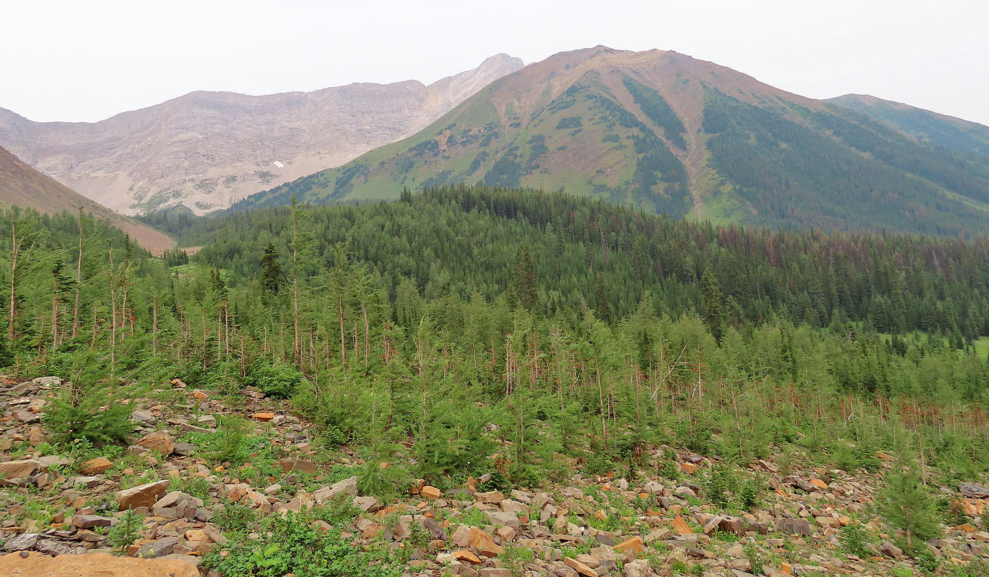
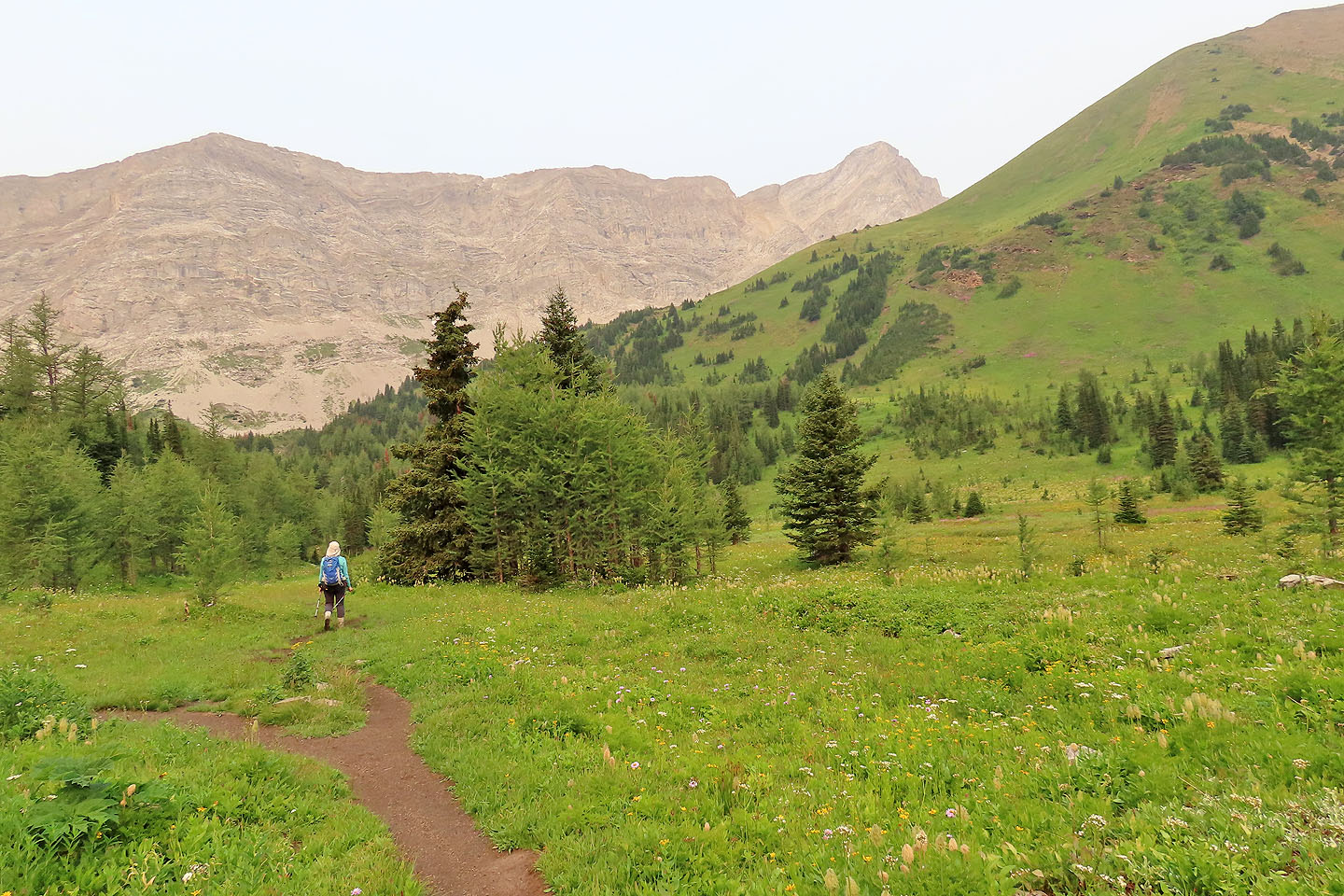
The route begins as a broad trail before becoming a narrow path in the trees. It soon crosses a meadow and passes a pond. Beyond that, the trail forks: left to Grizzly Col and straight for Pocaterra Ridge. After crossing a creek, the trail begins a steady climb up the ridge.
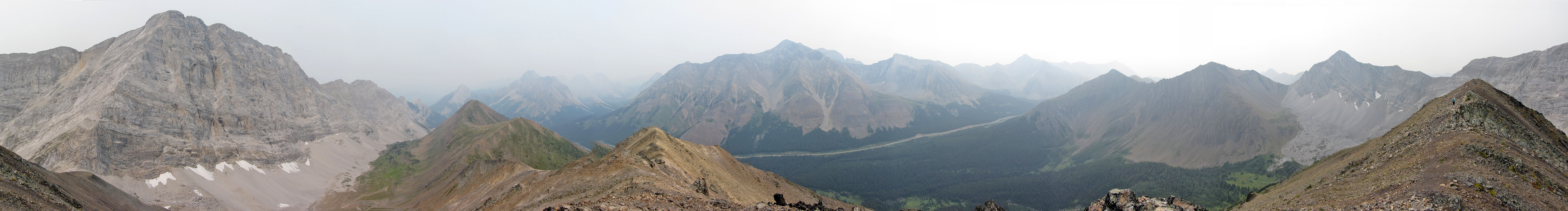
We reached the summit only to experience disappointing views. Smoke from wildfires made it difficult to see the surrounding mountains clearly. We were thankful to have climbed it years earlier under clear skies.
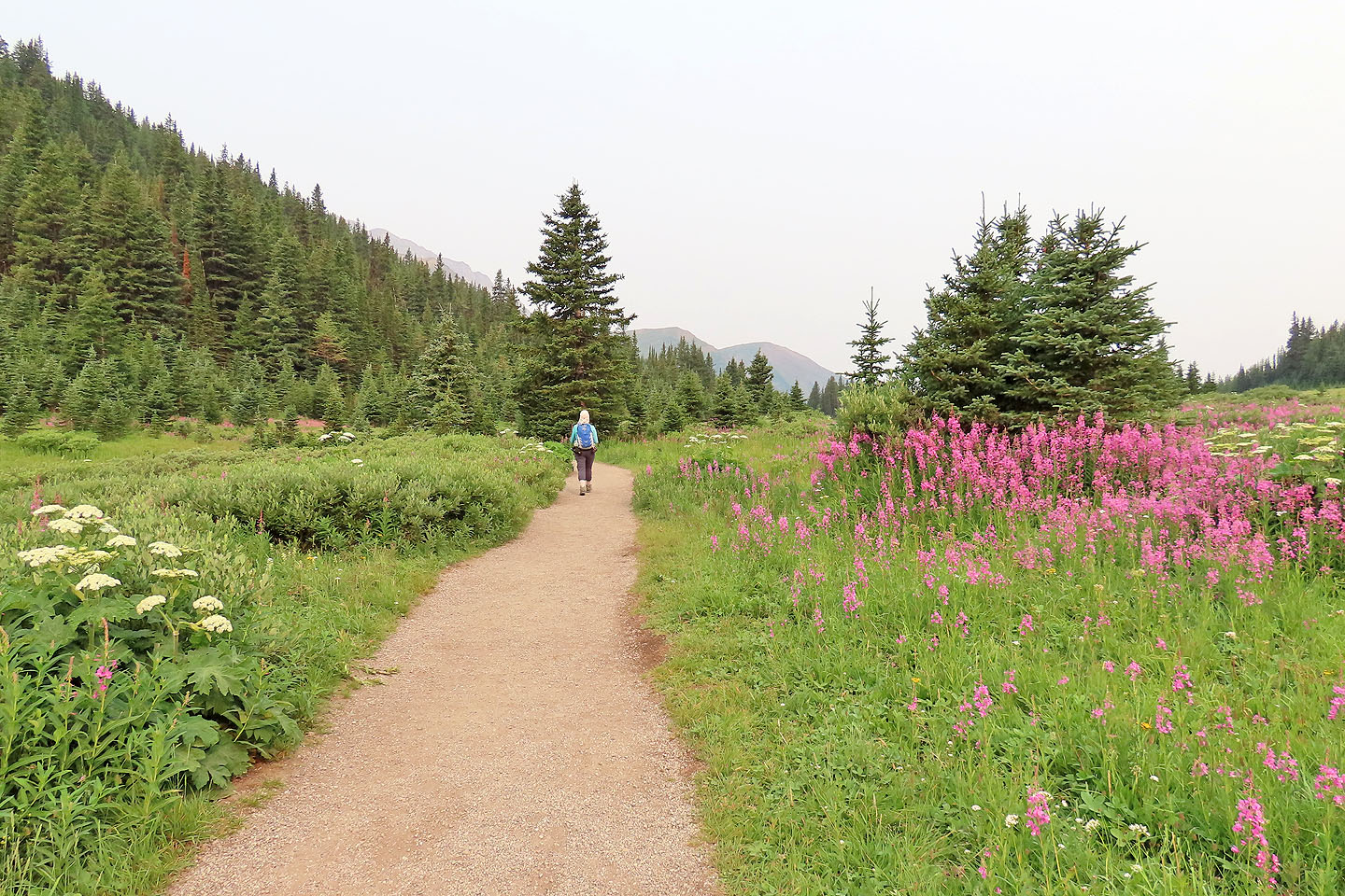
Starting up the trail, the fireweed looked amazing (mouse over for a close-up)
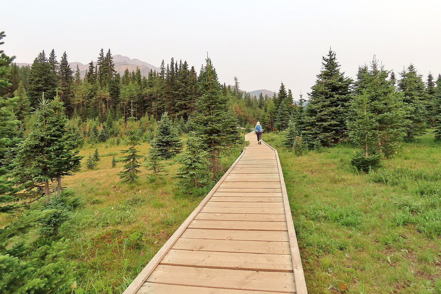
Walking along the boardwalk
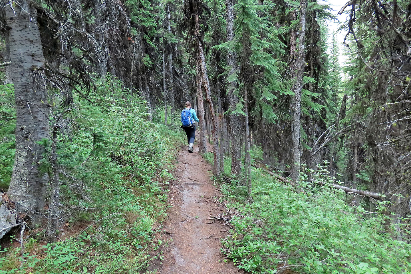
The trail runs through the forest
The views open up when the path hits the meadow
We had a nice view of Pocaterra Ridge
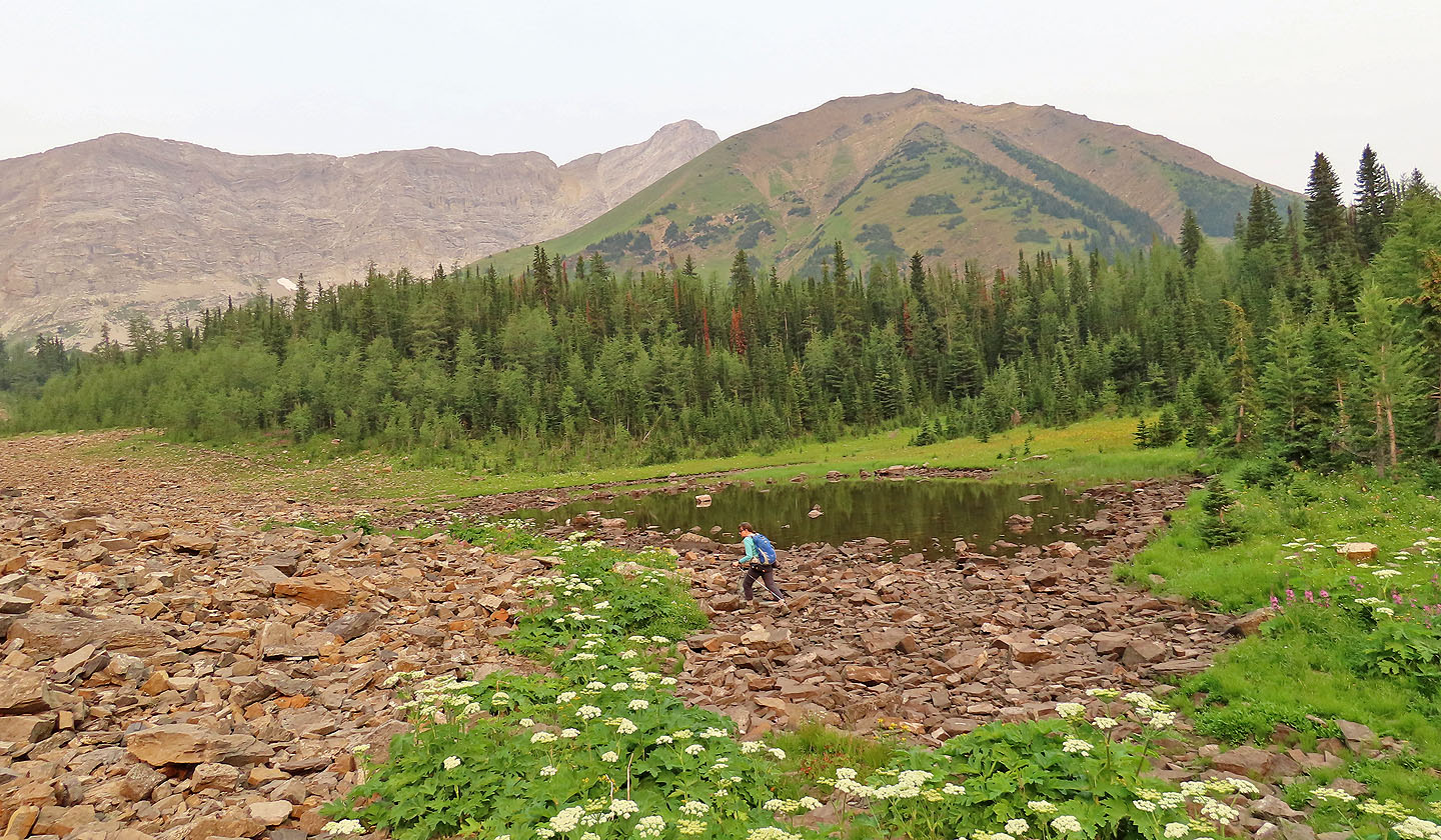
We passed a pond
We kept straight at the fork

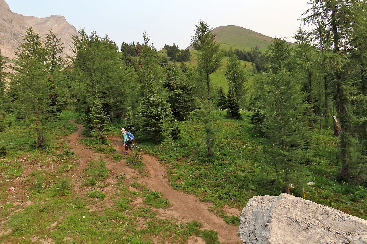
The trail runs through larches
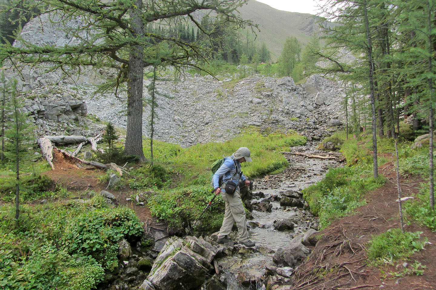
Crossing a creek
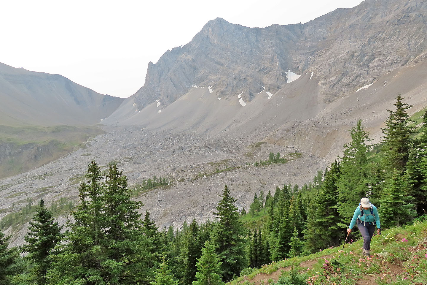
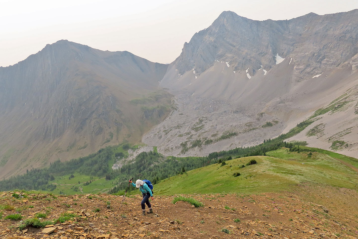
The trail starts up the ridge
Looking back at Mount Trywhit. The arch is visible.
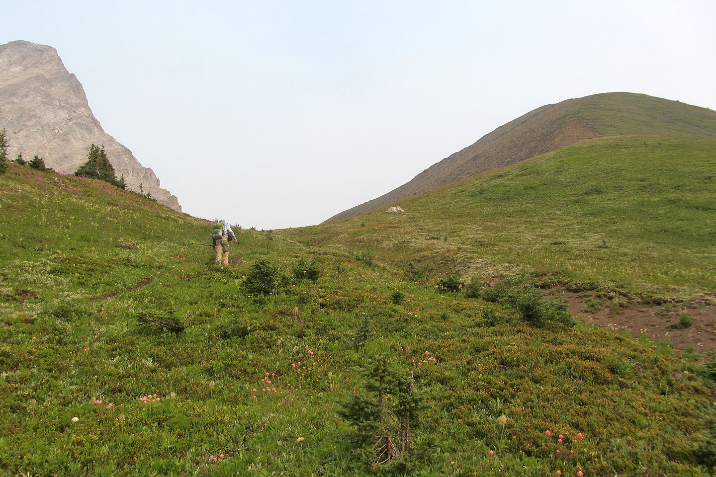
The rest of the ascent is in the open
Grizzly Ridge and Mount Tyrwhitt
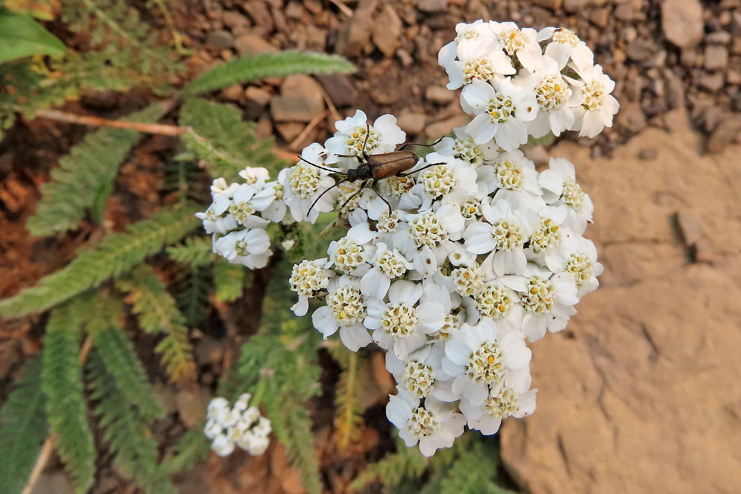
Yarrow
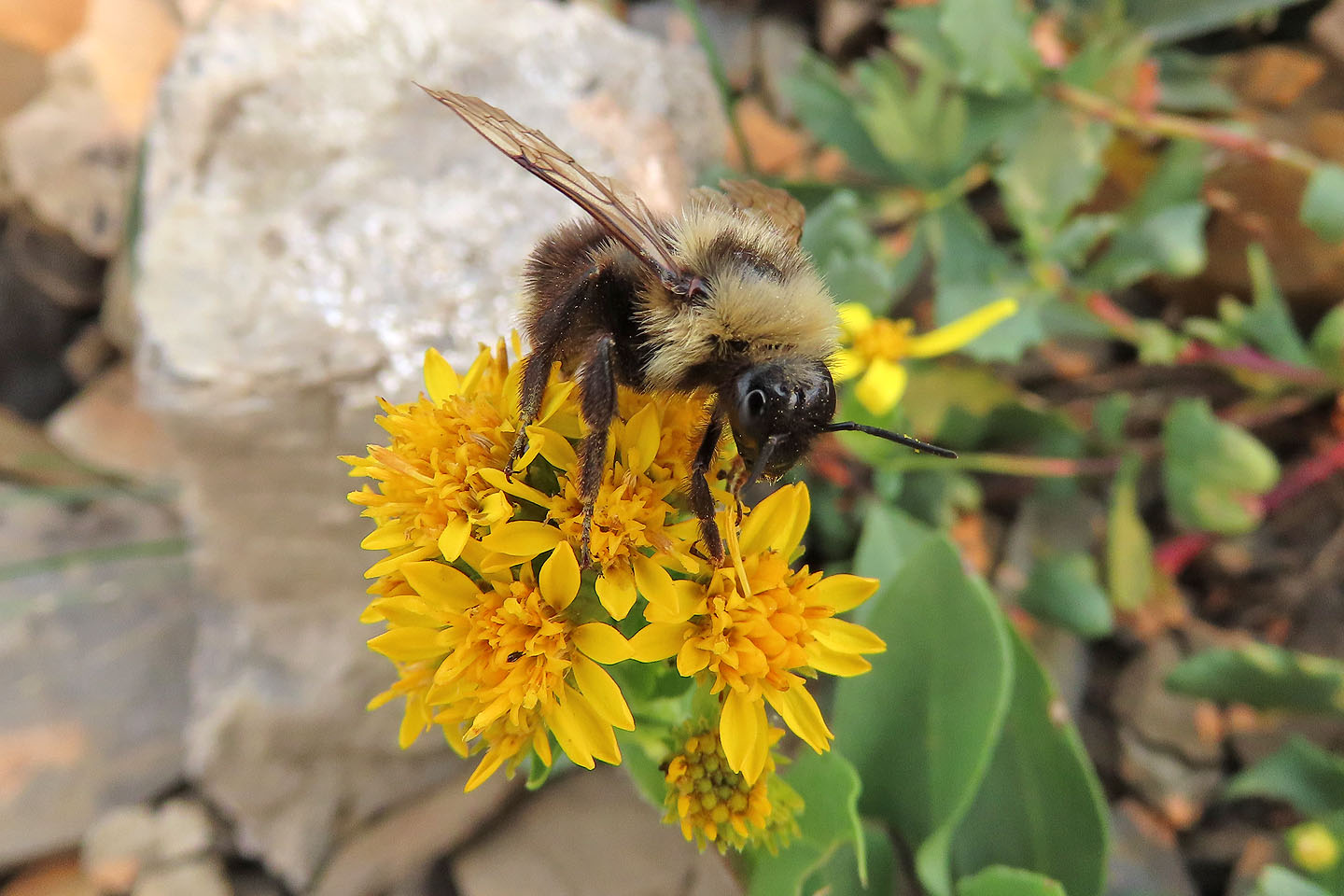
A bumblebee feeds on a wildflower
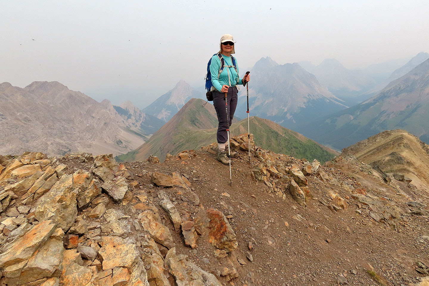
Dinah stands on the summit
 82 J/11 Kananaskis Lake, 82 J/10 Mount Rae