bobspirko.ca | Home | Canada Trips | US Trips | Hiking | Snowshoeing | MAP | About
Indian Oils Hills
Kananaskis, Alberta
October 13, 2024
Distance: 7.0 km (4.3 mi)
Cumulative Elevation Gain: 451 m (1480 ft)
There is no better time to hike Indian Oils Hills than in Indian summer when the trails are dry and aspens are golden. A time that is in sharp contrast to our November 2003 trip when several inches of snow covered the ground. Back then, Dinah and I climbed four hills, but this time we only did two. Even so, it was a milestone for Dinah, tackling her first summit since having knee replacement surgery three and a half months ago. She is still months away from full recovery but is happy with her progress (she plans on having her other knee done too).
Indian Oils trail begins at the west end of the parking lot and soon crosses the highway. We followed the path as it meanders alongside the road and starts climbing. We hiked through the forest and crossed several glades, but not until the trail reached the pass, did the scenery open up to reveal mountains to the west. The trail continues over the pass, but we turned left to the grassy slope leading to our first hill or high point. As we climbed, the view improved, but unfortunately nothing could be seen from the treed summit. We dropped back down to the pass.
We continued over the pass, following a forest trail until we reached a junction. We turned onto a short, faint path leading to a vast meadow with a seasonal pond. The pond was dry, and on the other side, the treed west slope led to our second high point. We crossed the meadow and picked up a trail in the forest. The trail eventually faded, but we easily continued to the summit. It was much nicer than the first high point. There were a few scattered trees, but we could view the mountains to the north.
But the finest scenery of our hike appeared when we began descending. Going down the open east ridge, we had far-ranging views. Below us, bright patches of yellow and orange aspens contrasted with tracts of dark green evergreens. We followed the ridge down, most of it lacking a trail until we reached the forest. Covered in fallen leaves, the path was difficult to follow, but we soon reached the road. Conveniently, the trailhead parking lot was on the other side.
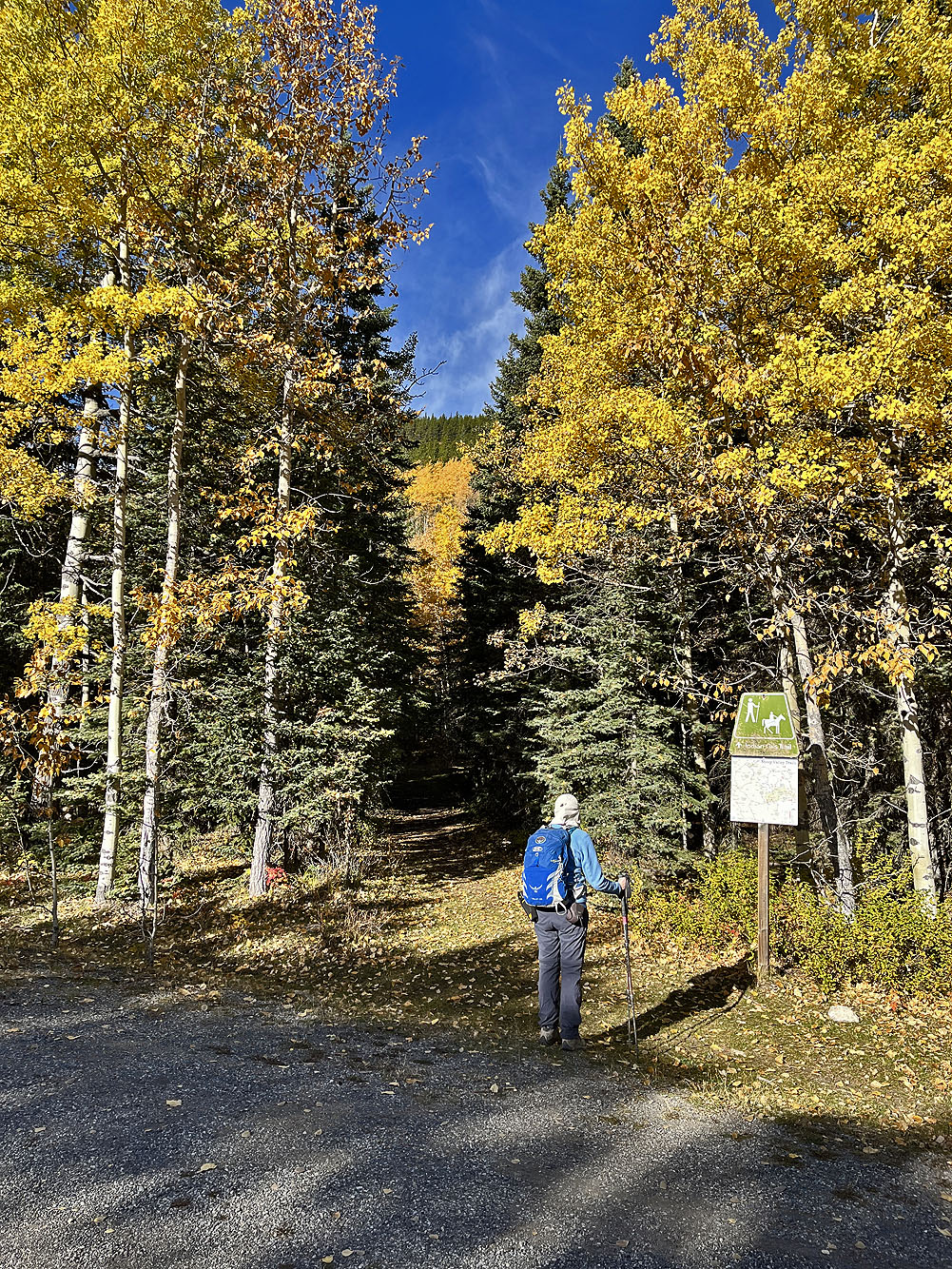
Starting on the trail after crossing the highway
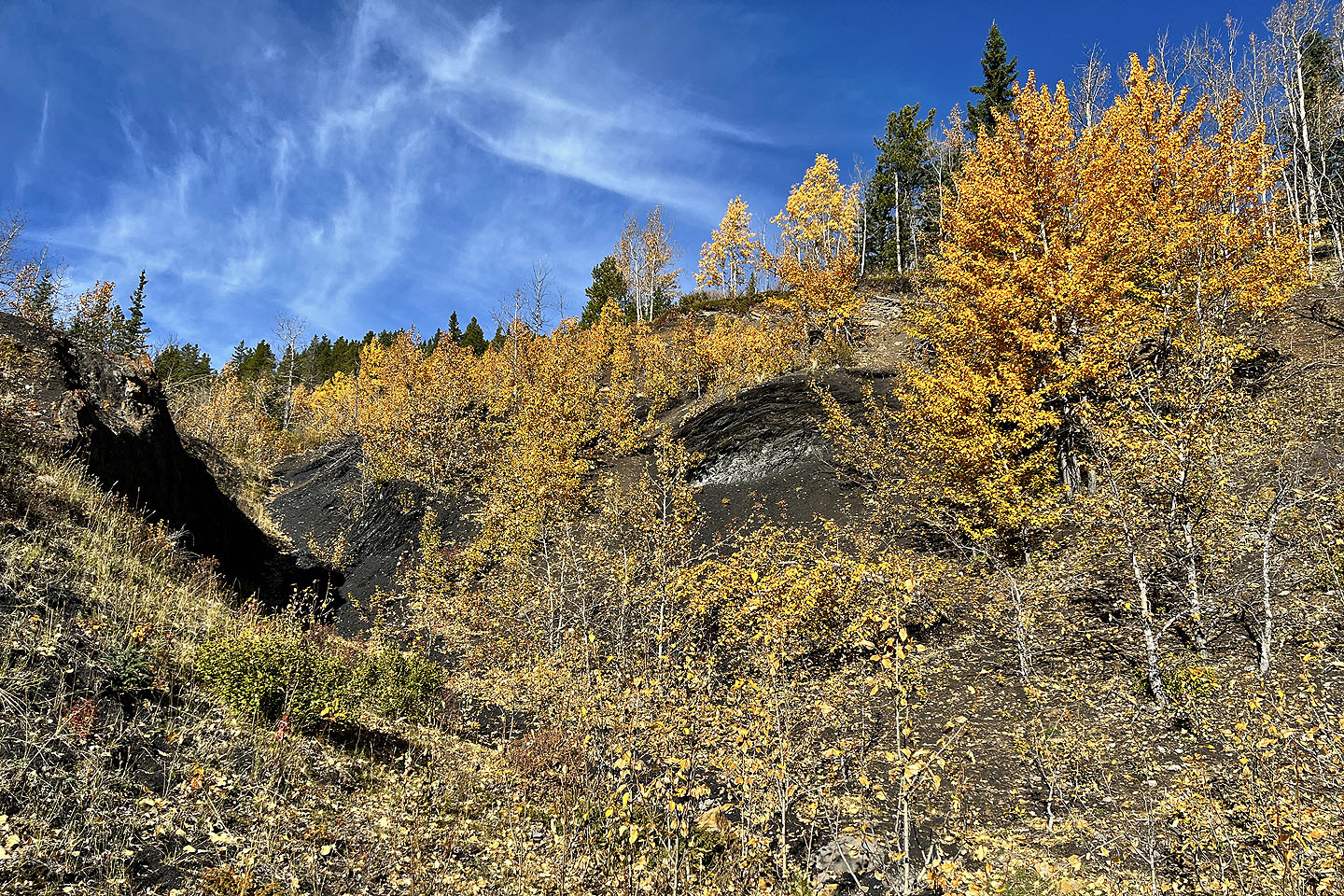 We soon passed an abandoned strip-mining site for coal
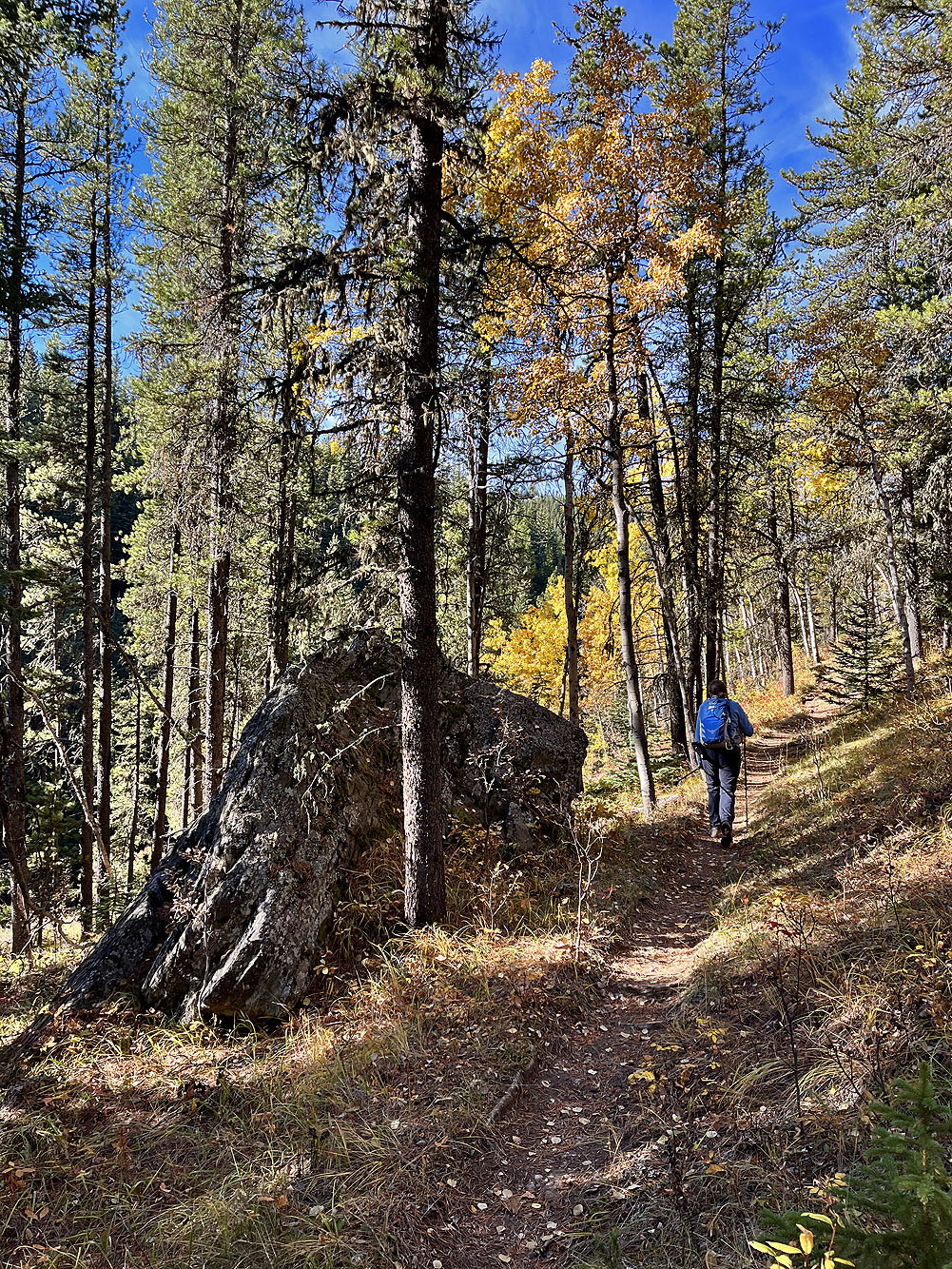
After the trail runs alongside the highway, it turns and begins climbing
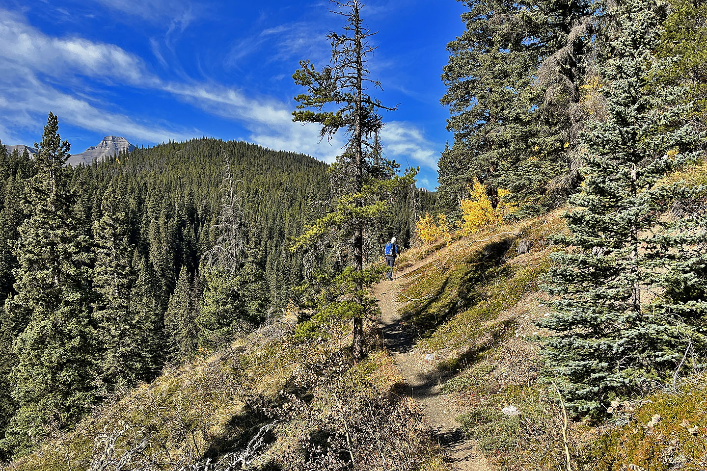 There are a few clearings along the trail
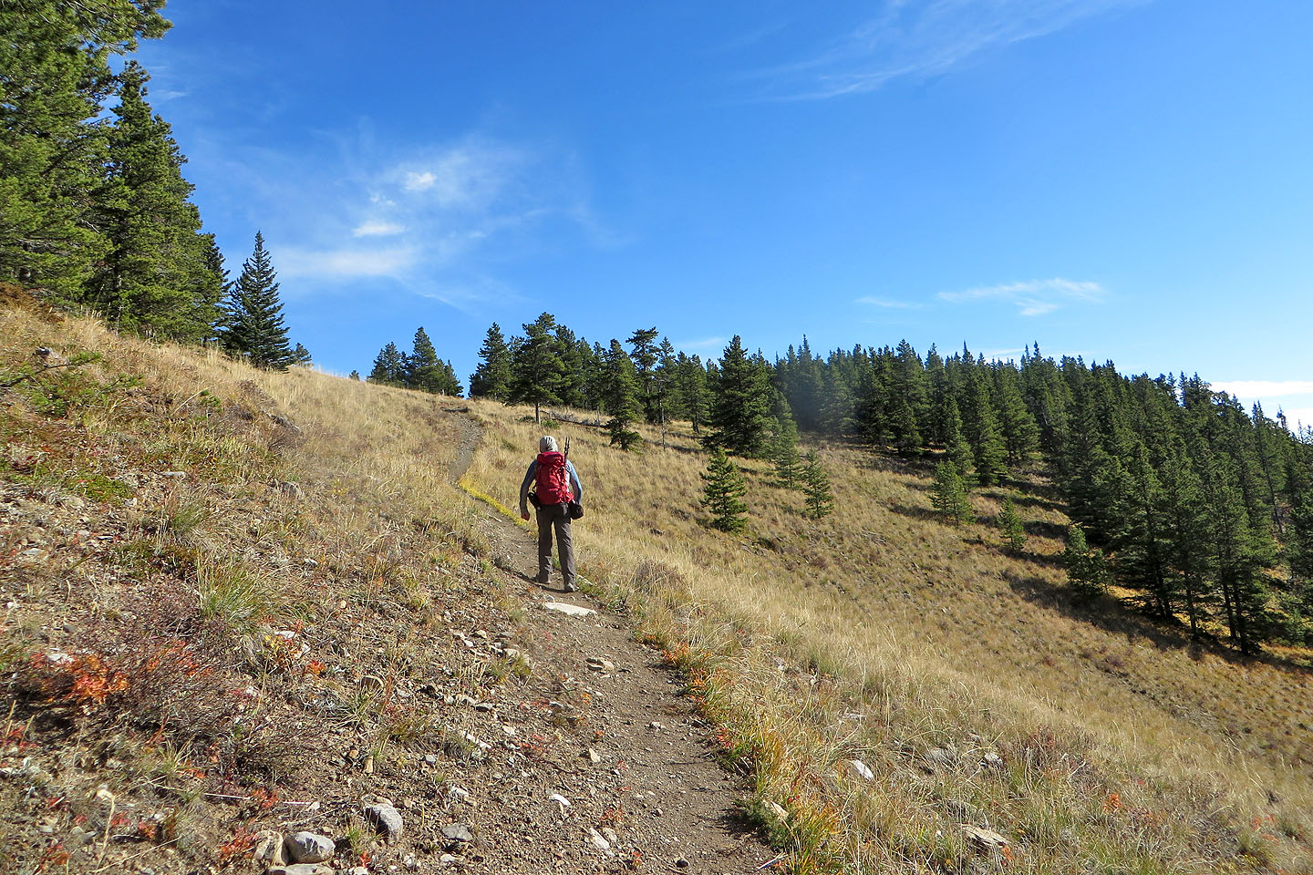 Coming up to the pass
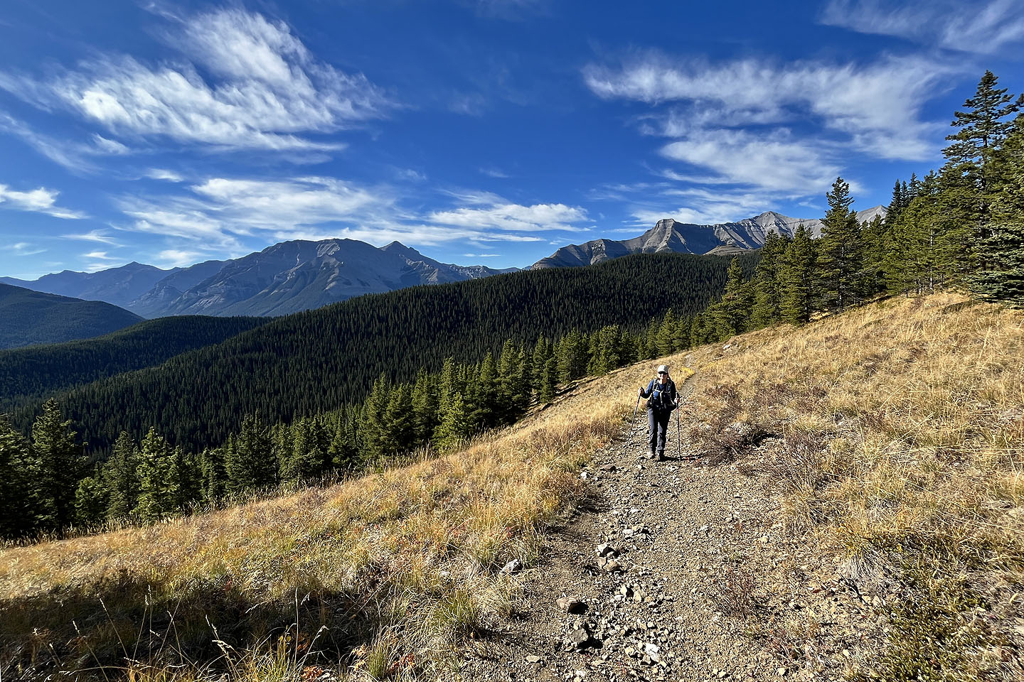 Looking back
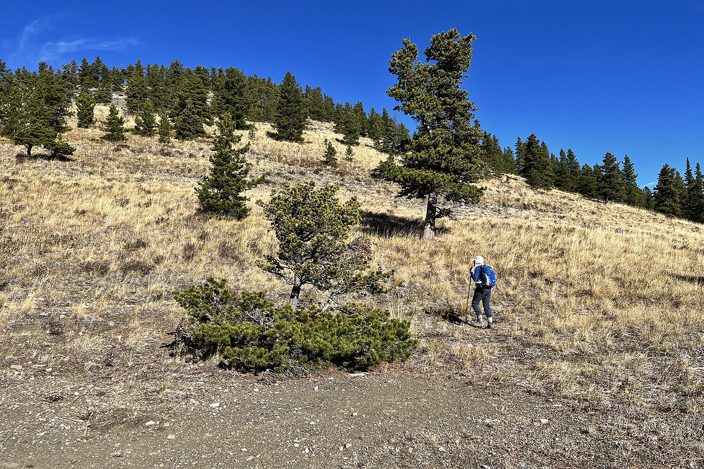 Starting up the first high point from the pass
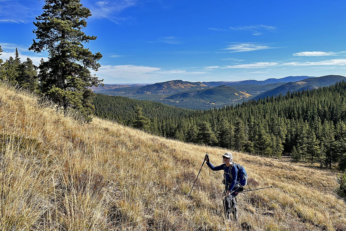 Looking east at Green Mountain (centre)
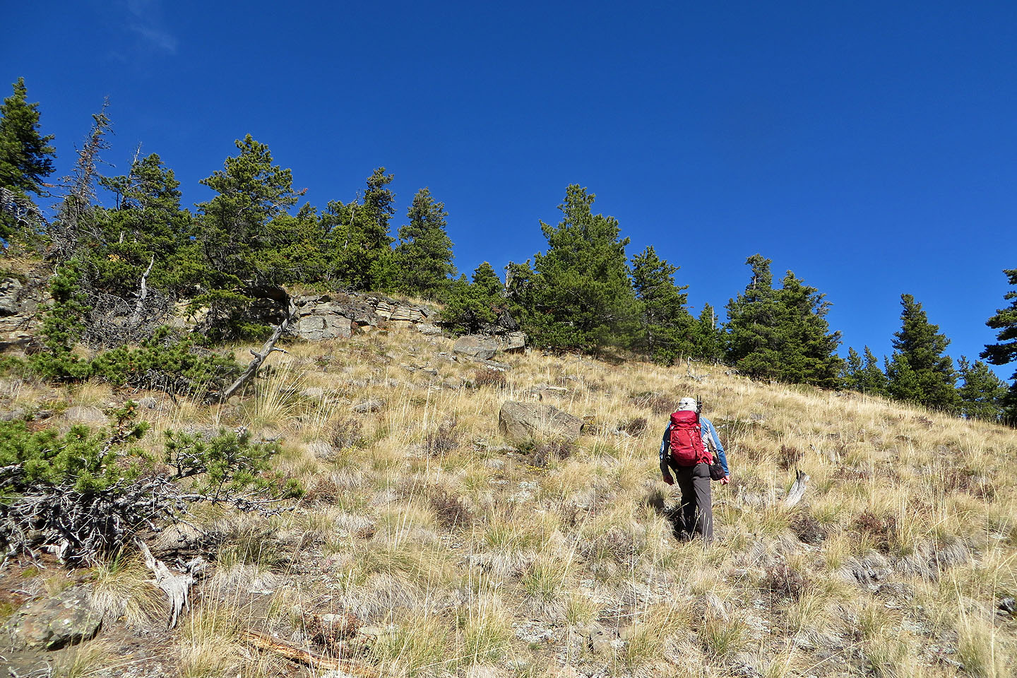 We kept right to avoid the rocks
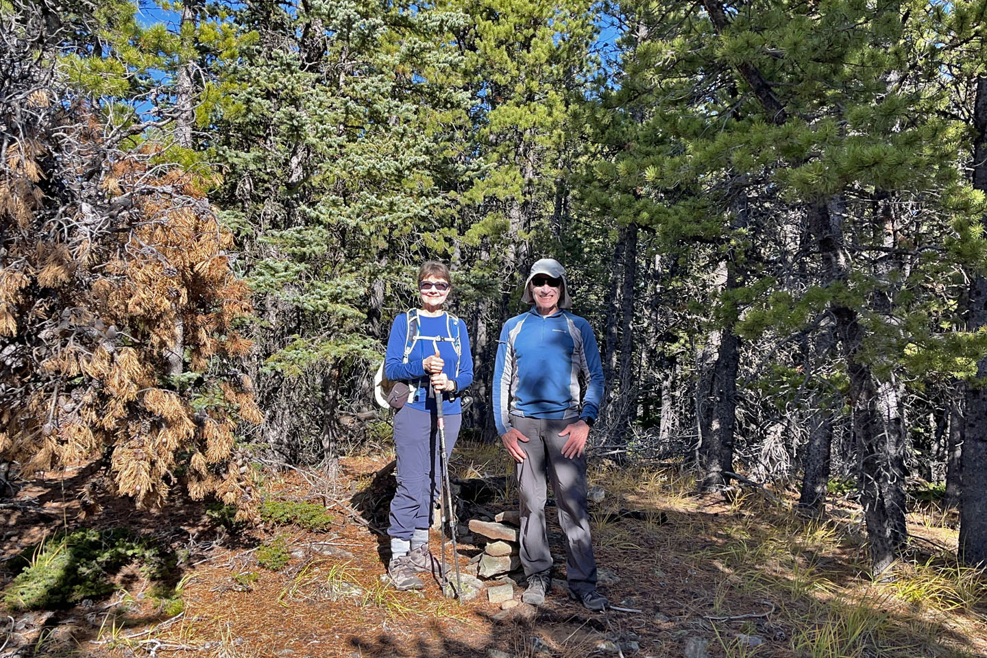 On the summit
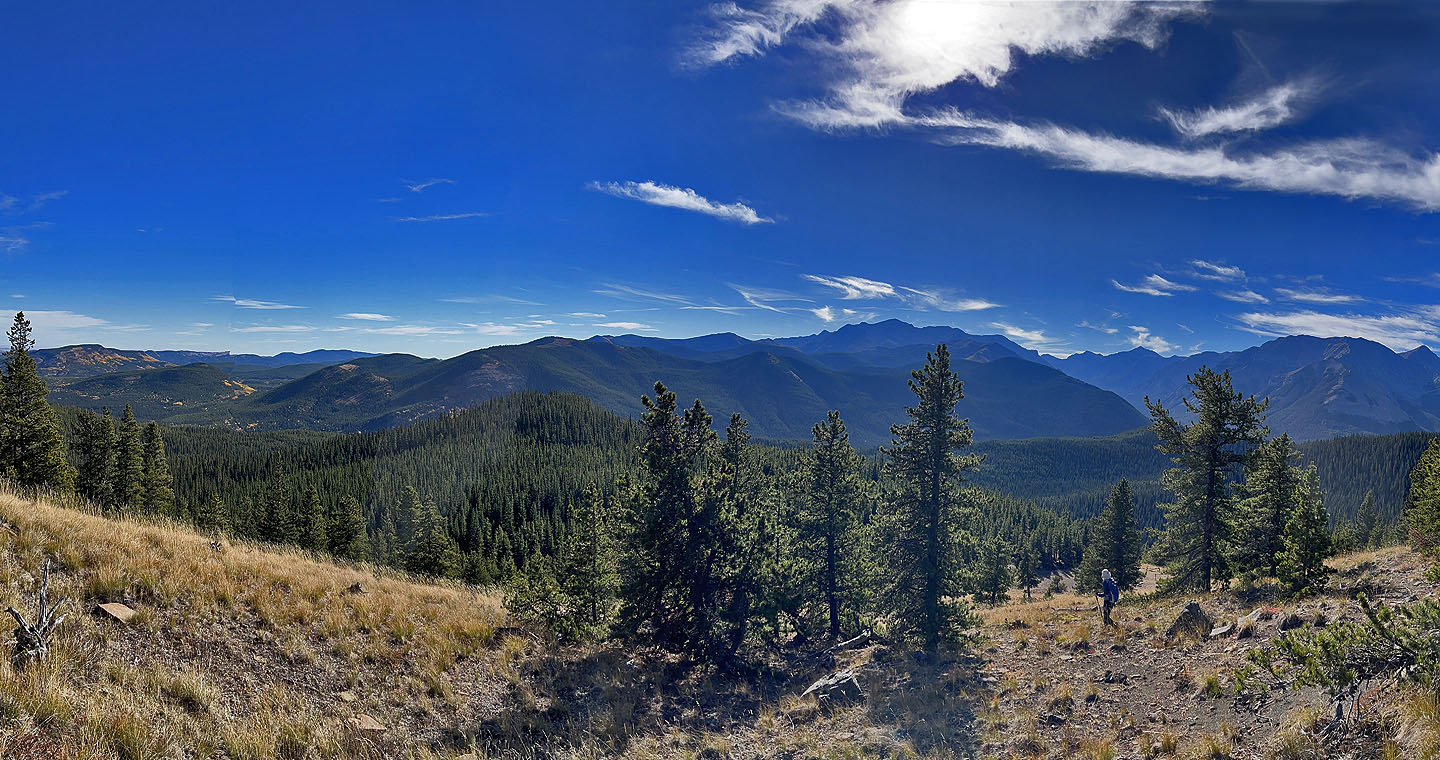 Heading back down to the pass
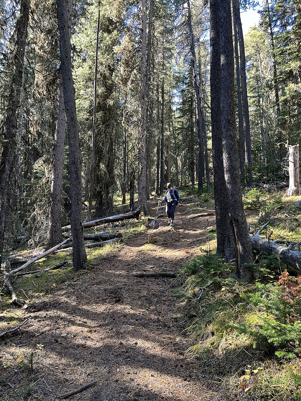
We continued down the trail
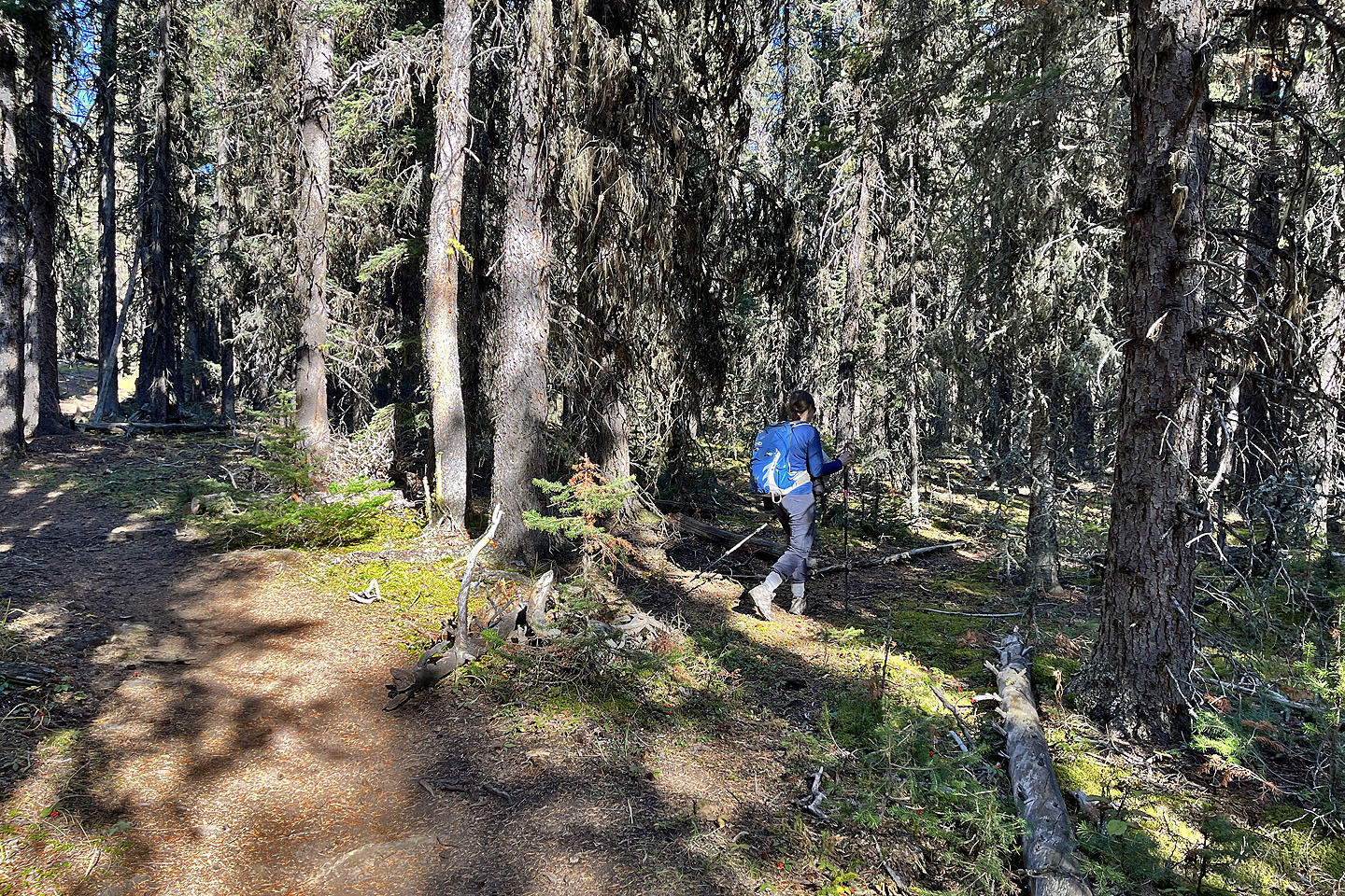 We turned onto the faint trail leading to the meadow with a seasonal pond
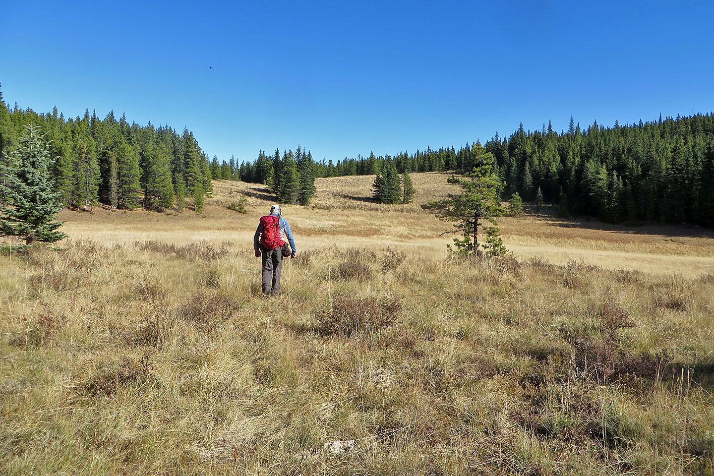 We headed to the end of the meadow
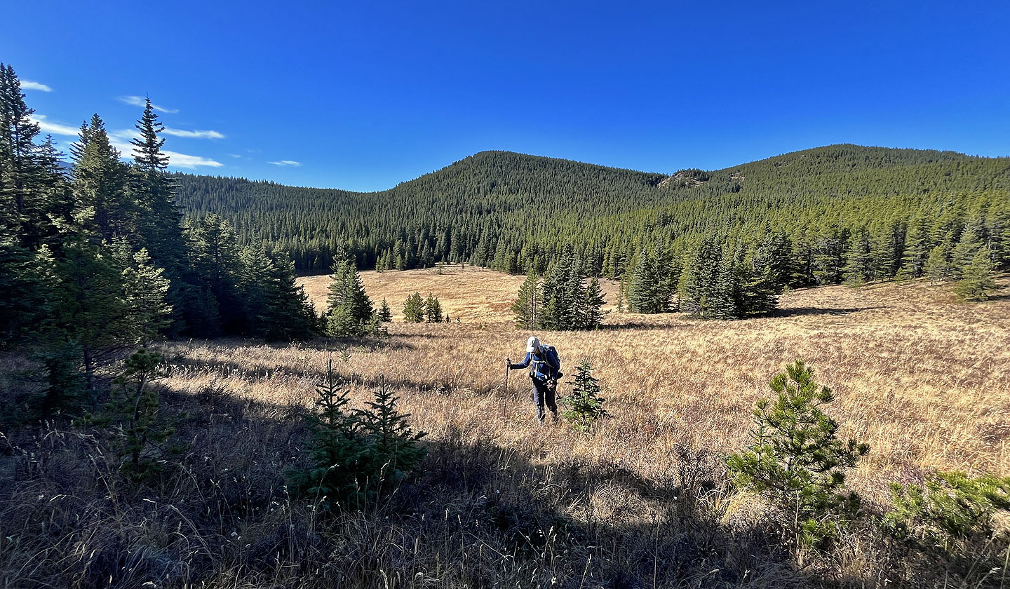 Looking back
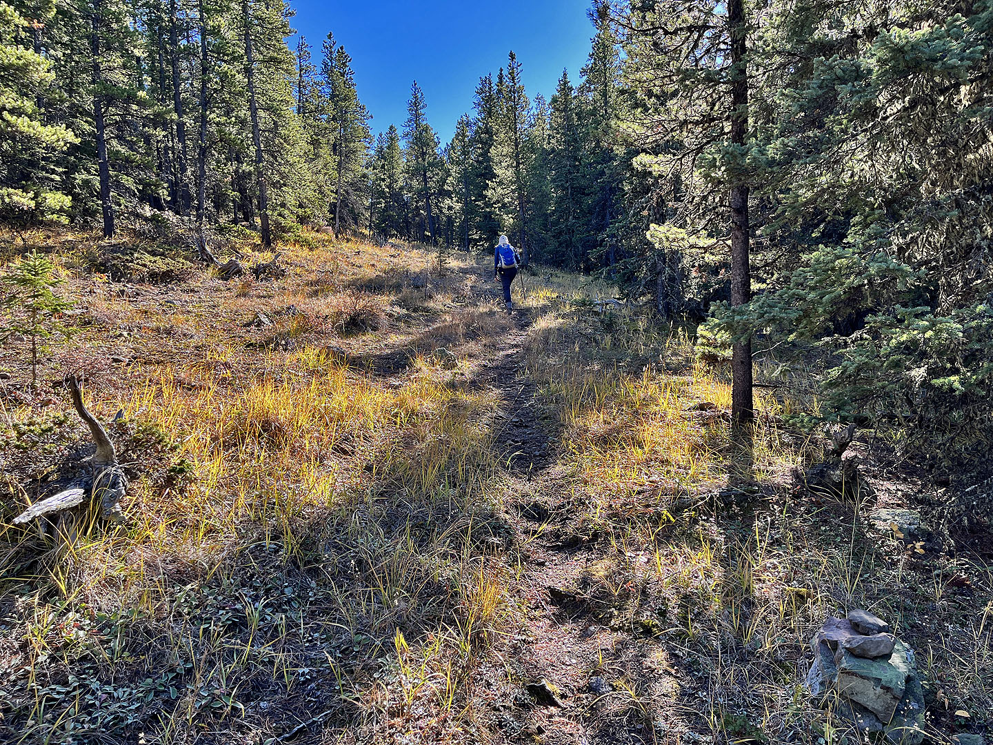 We followed an intermittent trail
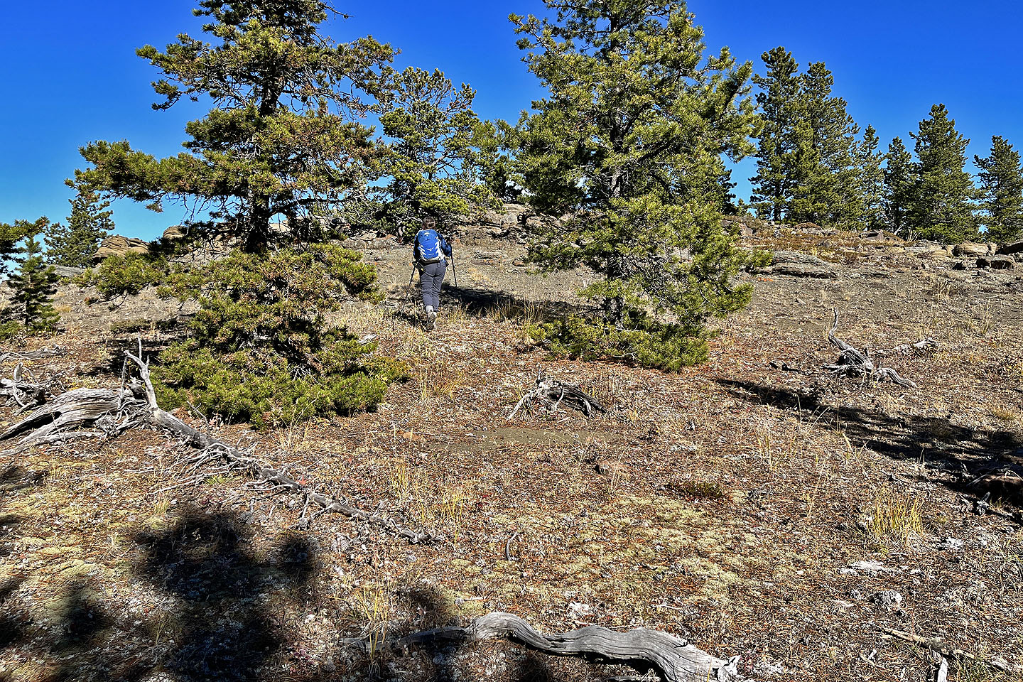 Arriving at the summit of the east high point
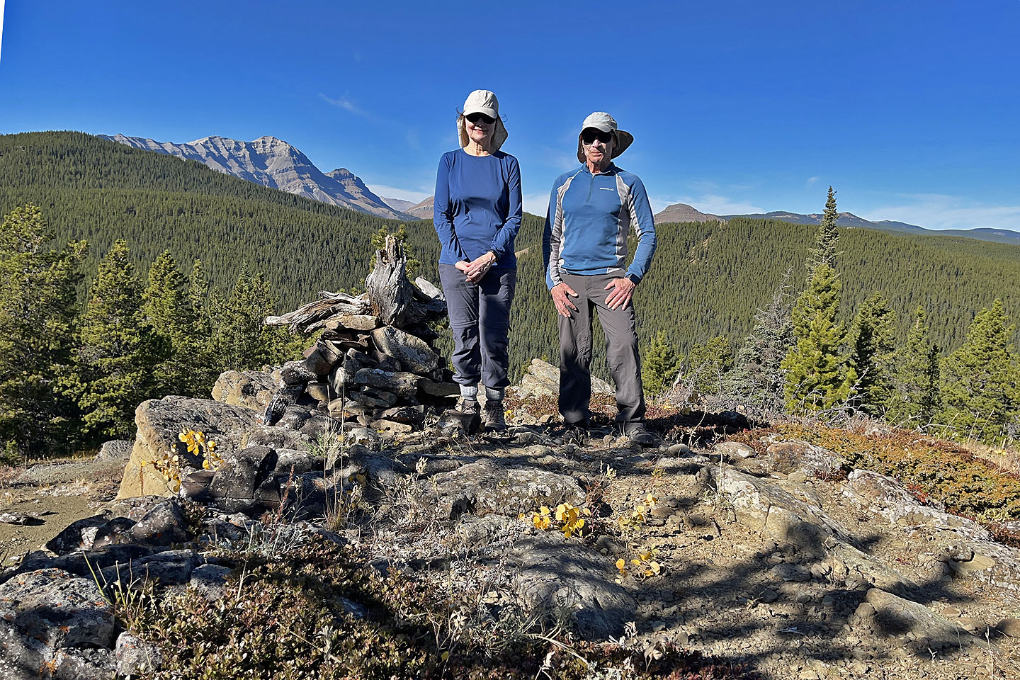 Standing next to the summit cairn
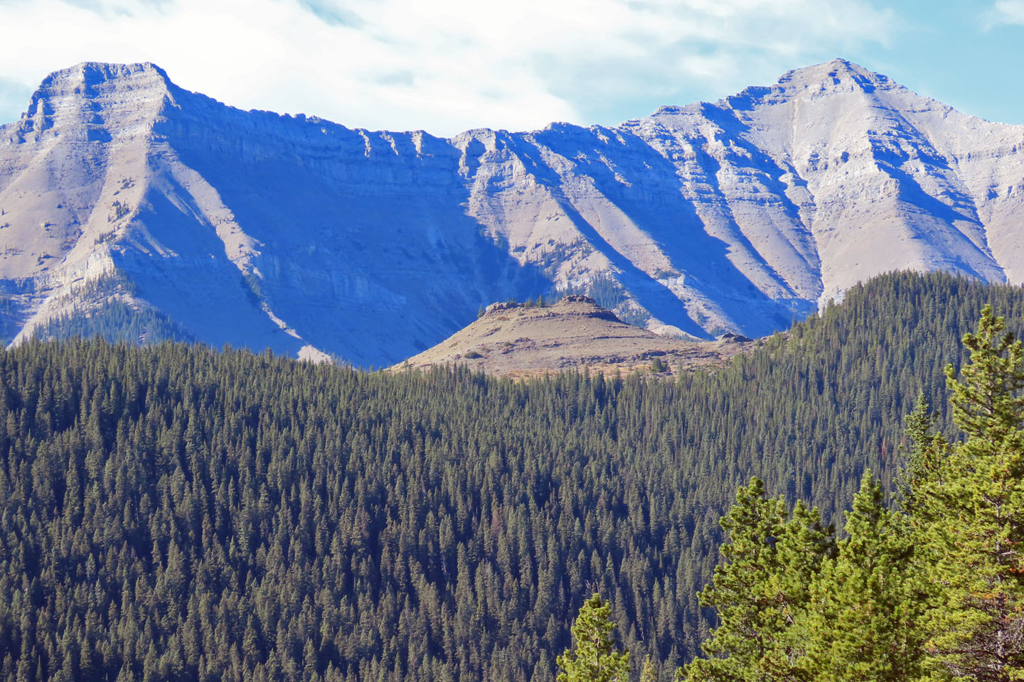 West, in the centre, is Blue Rock Knob below the southeast ridge of Mount Burns
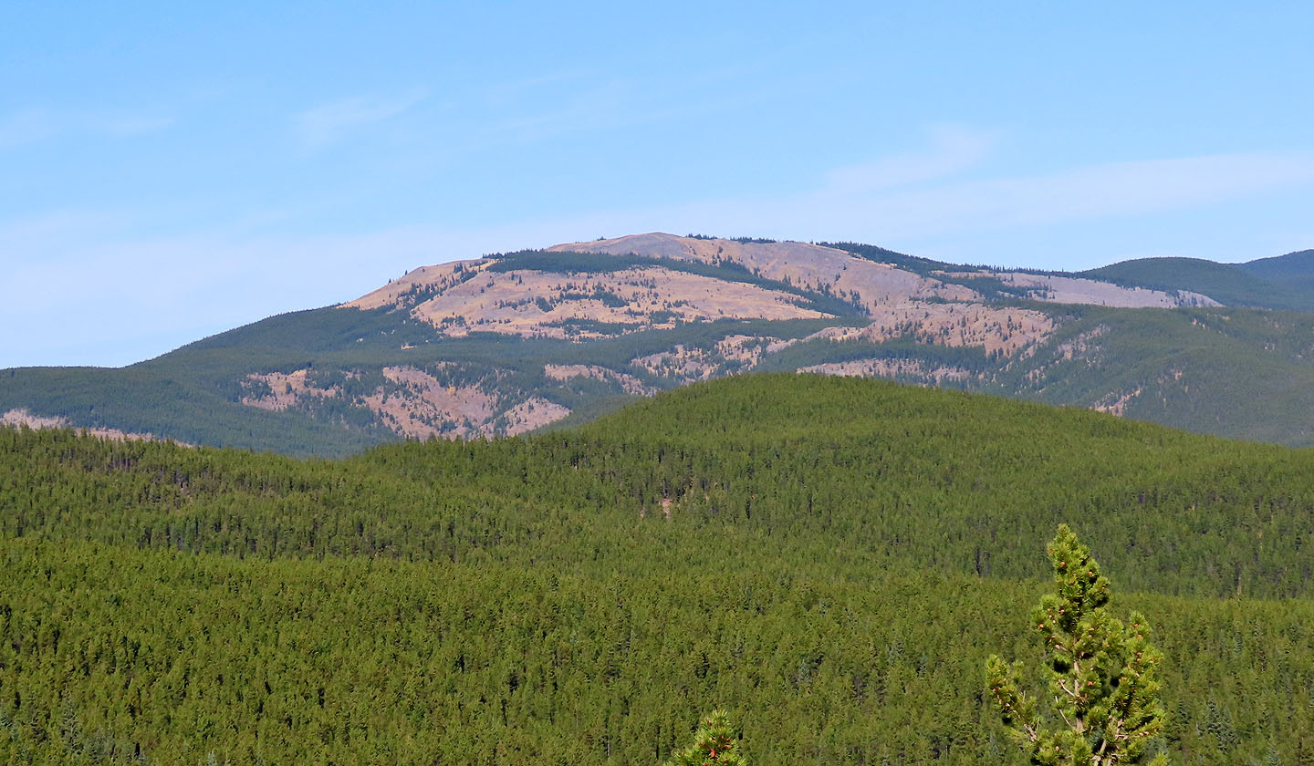 Forgetmenot Mountain lies north
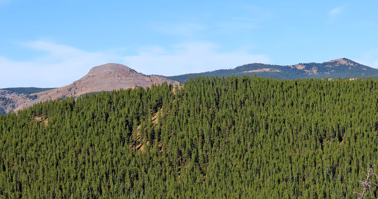 North but closer are Mount Ware and Surveyor's Ridge
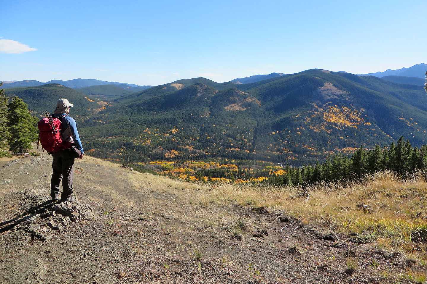 Heading down the east ridge. Hoffman Hill appears above me and Mount Hoffman is right.
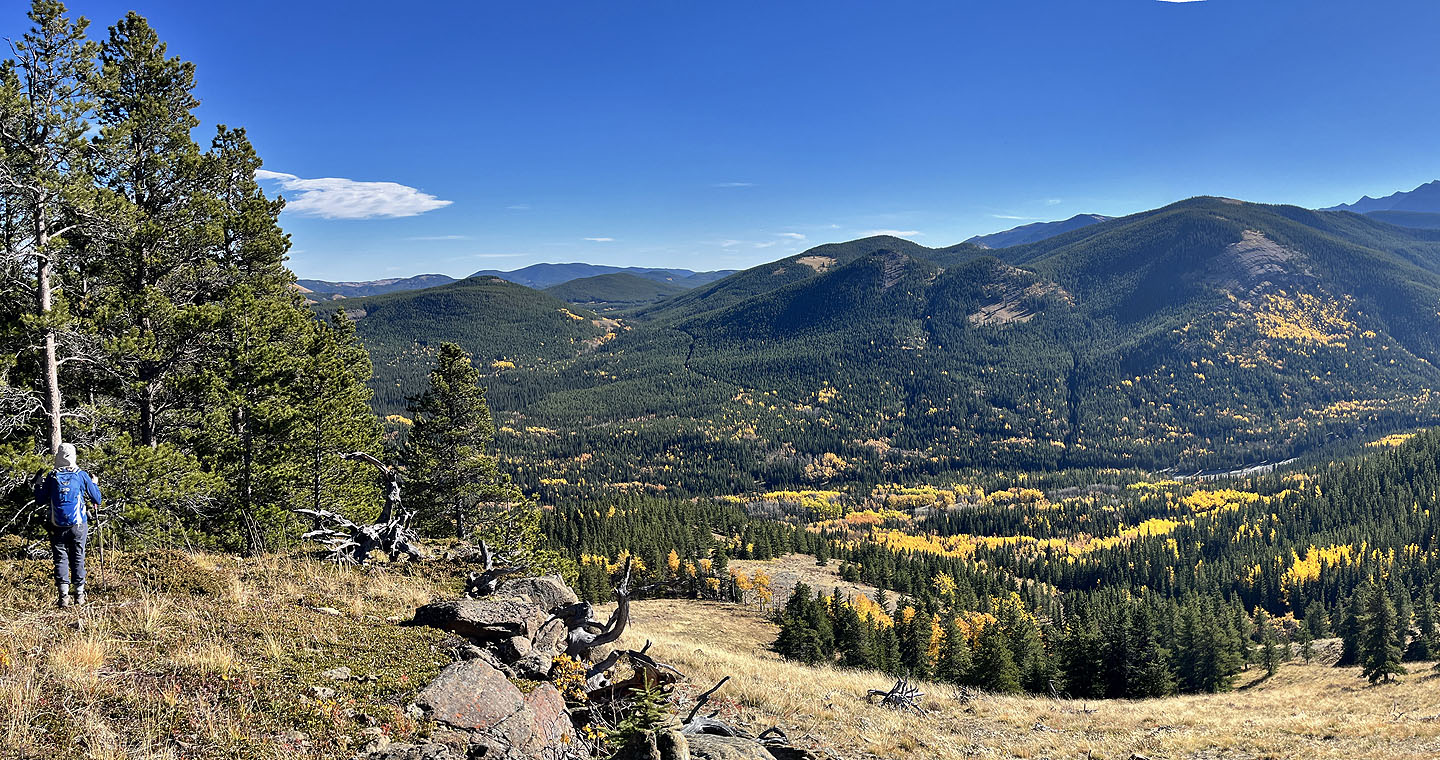 We followed the ridge down to the highway
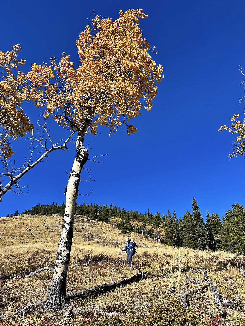
Looking back up the open ridge
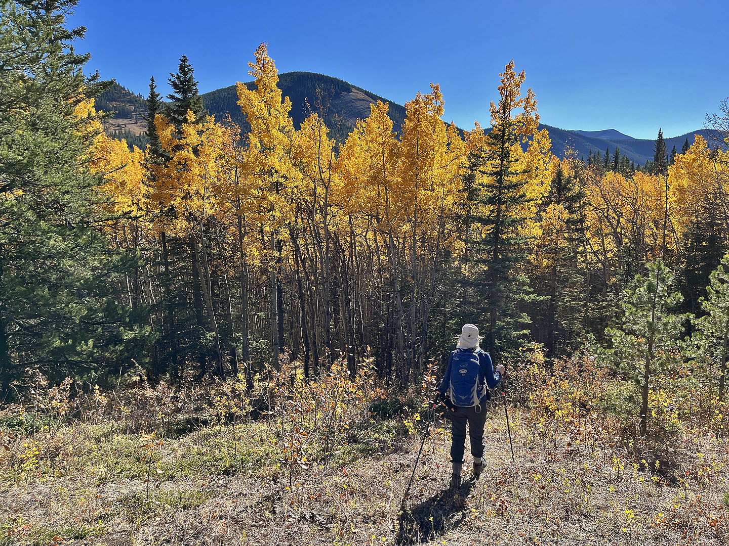 Entering the aspen forest
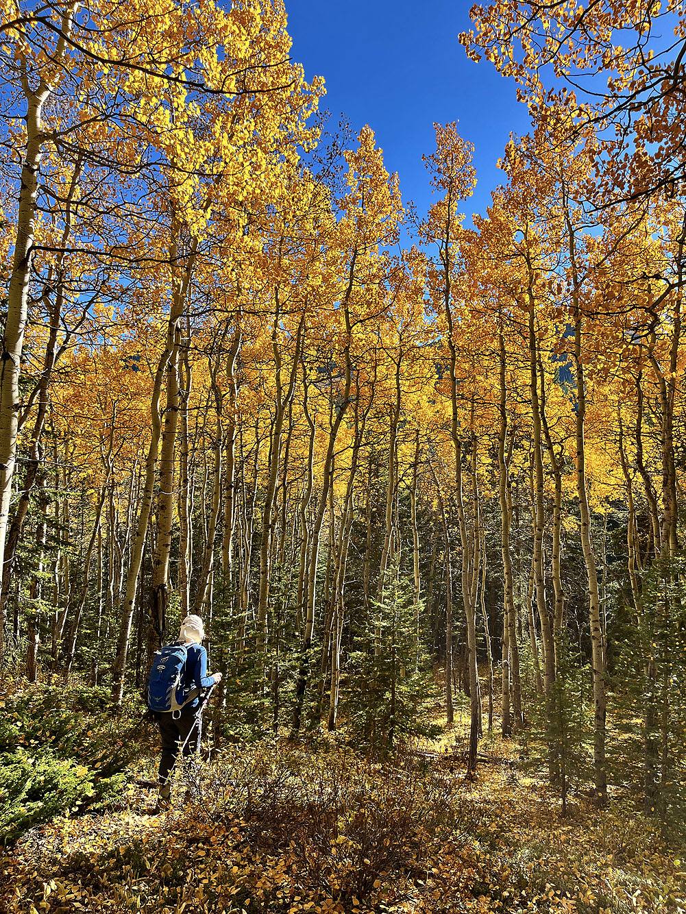
We followed the leaf-covered trail back to the road
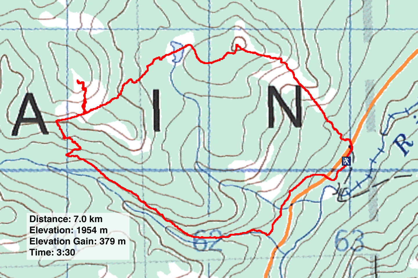
82 J/10 Mount Rae
