bobspirko.ca | Home | Canada Trips | US Trips | Hiking | Snowshoeing | MAP | About
Saskatoon Mountain
Crowsnest Pass, Alberta
February 7, 2009
Distance: 7.7 km (4.8 mi)
Cumulative Elevation Gain: 570 m (1870 ft)
The idea of climbing Saskatoon Mountain came from trailpeak.com. Following the route description, Dinah and I parked at the municipal park beside the main road in Coleman. Not sure what to expect, we brought our snowshoes, but it was soon evident we didn't need them, and we ditched them early in the trip.
We hiked up Miner's Path alongside Nez Perce Creek until we reached a frozen waterfall. The creek follows a canyon so at the icefall, we climbed out of the canyon and hiked on a trail above it.
When we reached an opening in the trees where we could see the base of the mountain, we switched to another path that led up the slope. Soon we were looking down on Coleman while hiking north on an open ridge. Further on, the ridge morphed into a broad, treed plateau. Eventually the trees gave way to a semi-open summit.
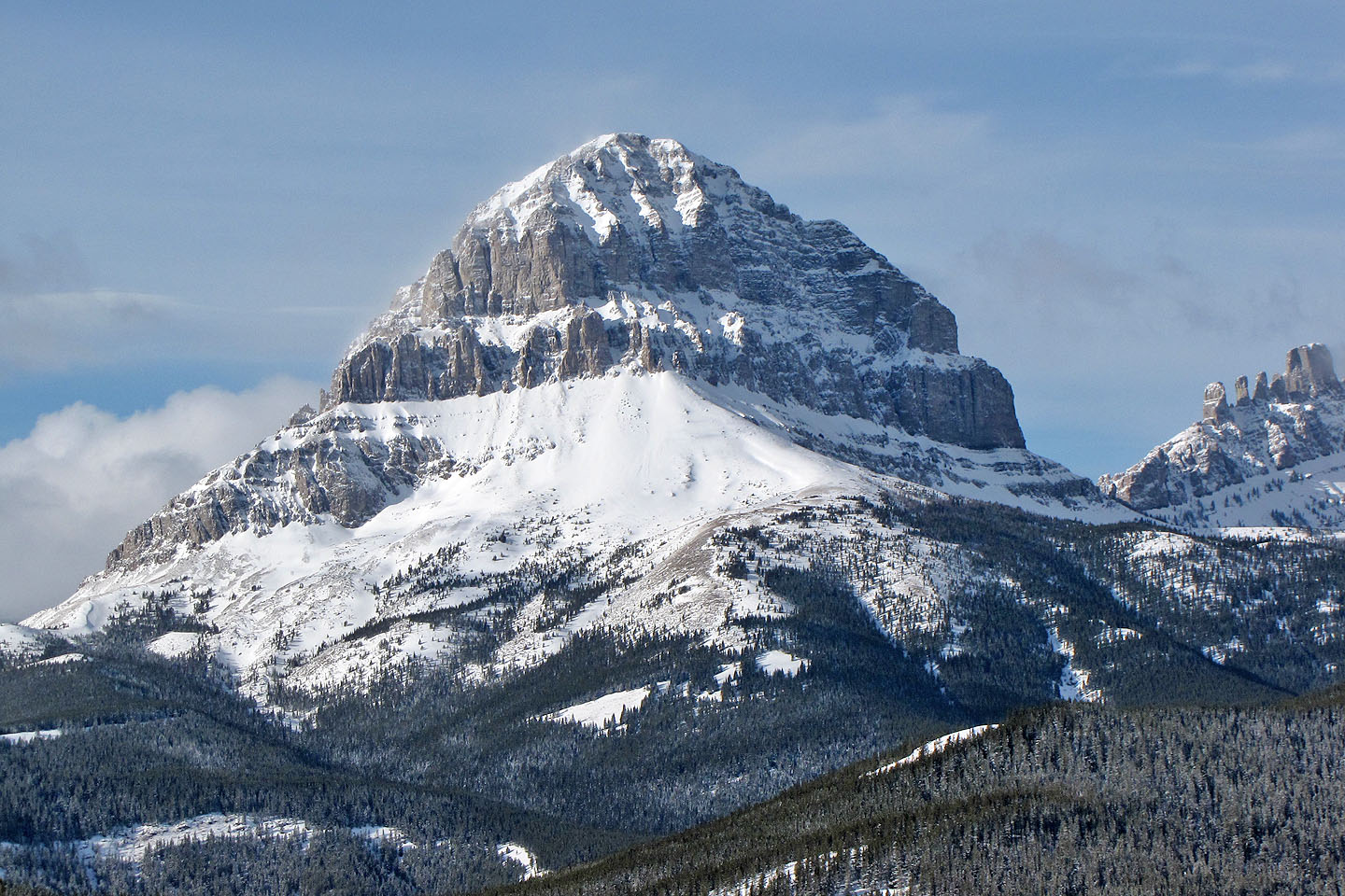
We didn't stay long on top, not with the wind gusting up to 70 kph. But the skies were fairly clear providing us with good views of Crowsnest Mountain and The Seven Sisters.
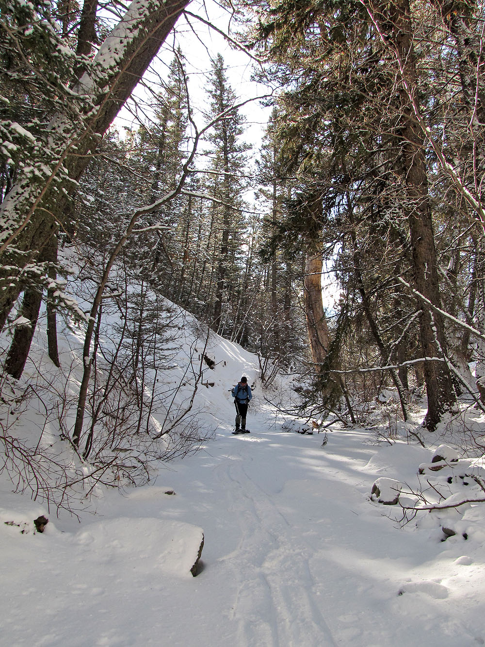
Nez Perce Creek
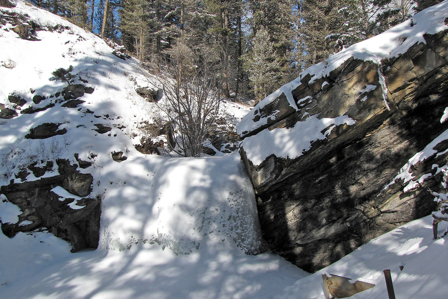
Icefall
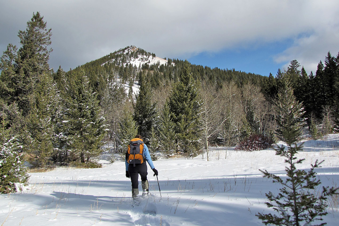
Heading to the base of the mountain
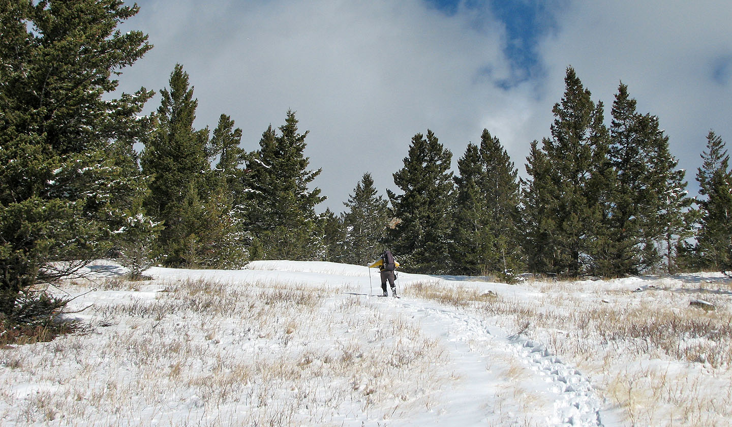
We had no trouble finding trails
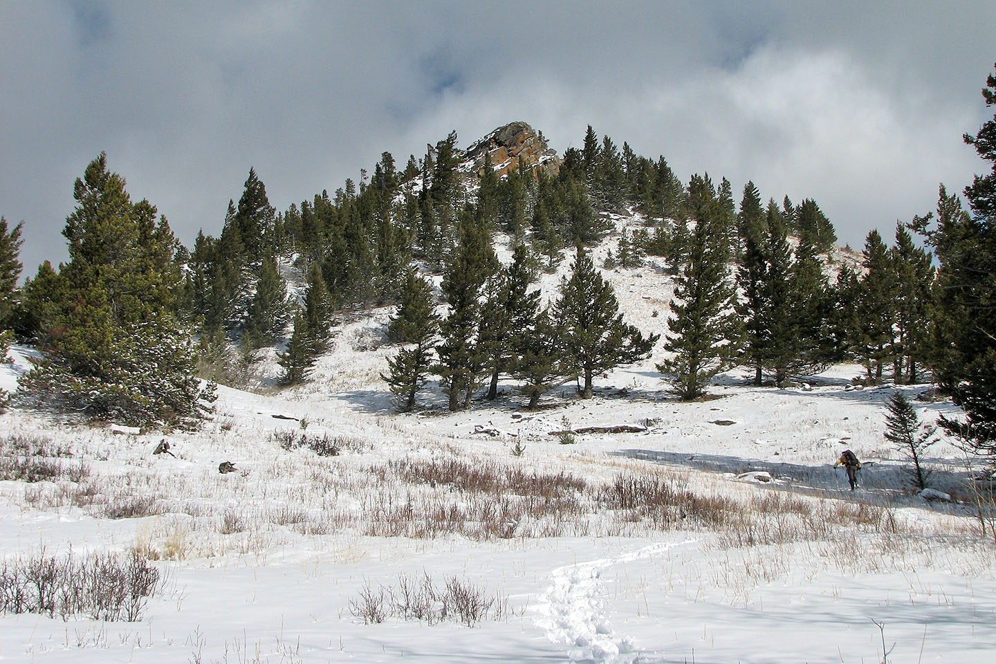
Heading to an outcrop
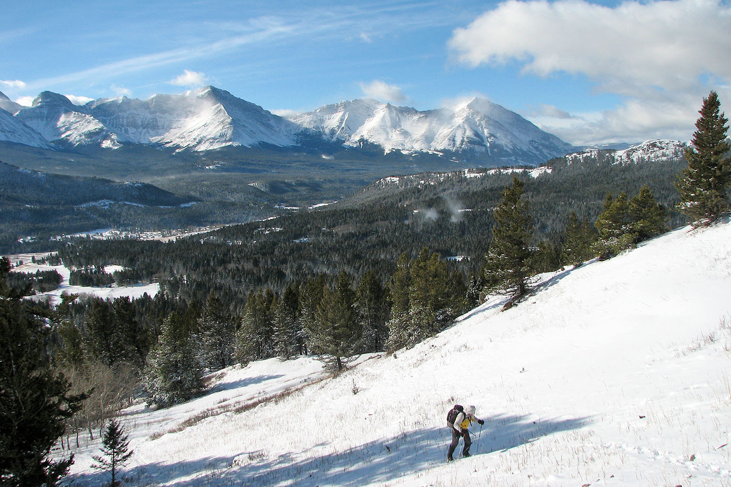
Chinook Peak and Sentry Mountain in the background
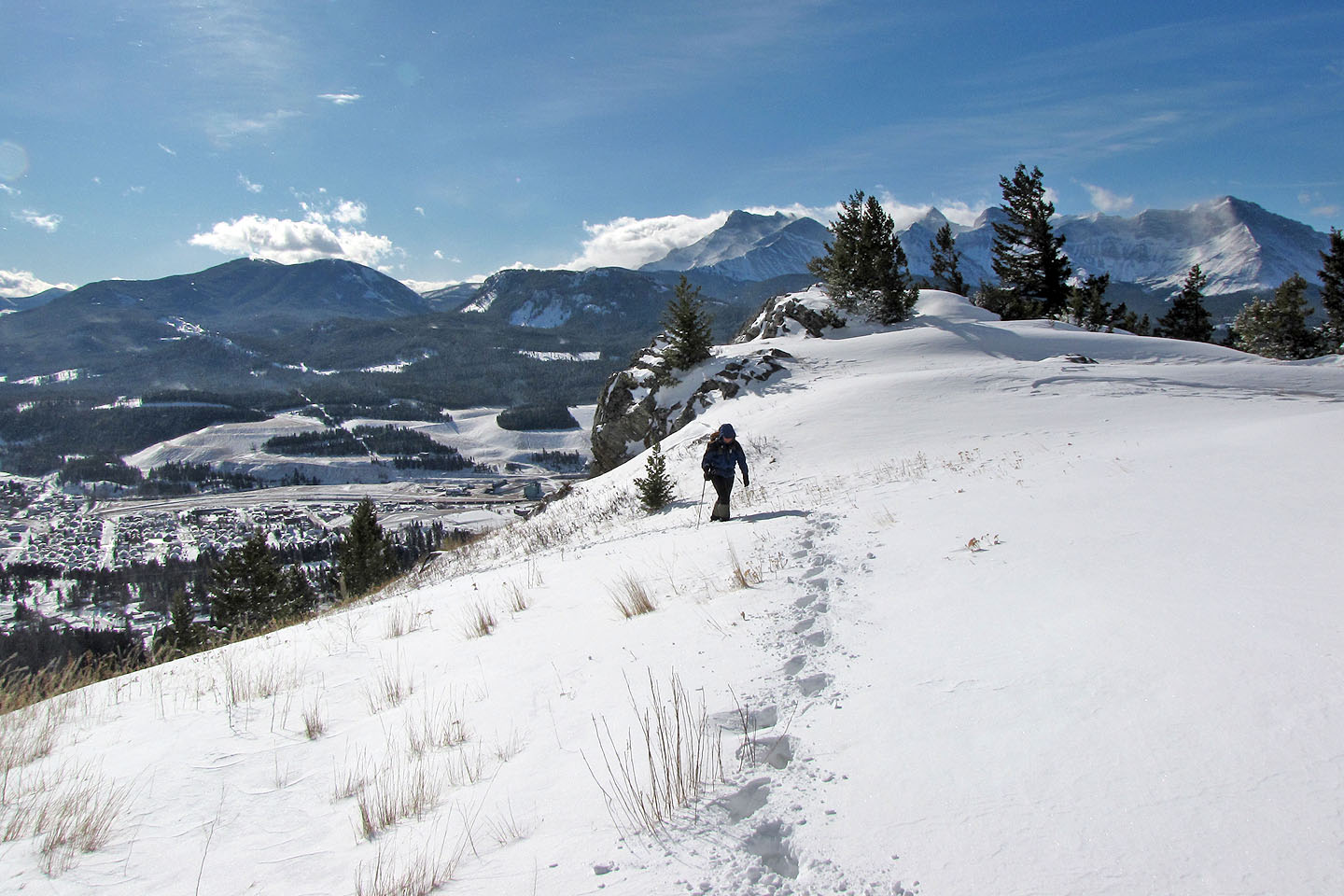
We reached the top of the outcrop
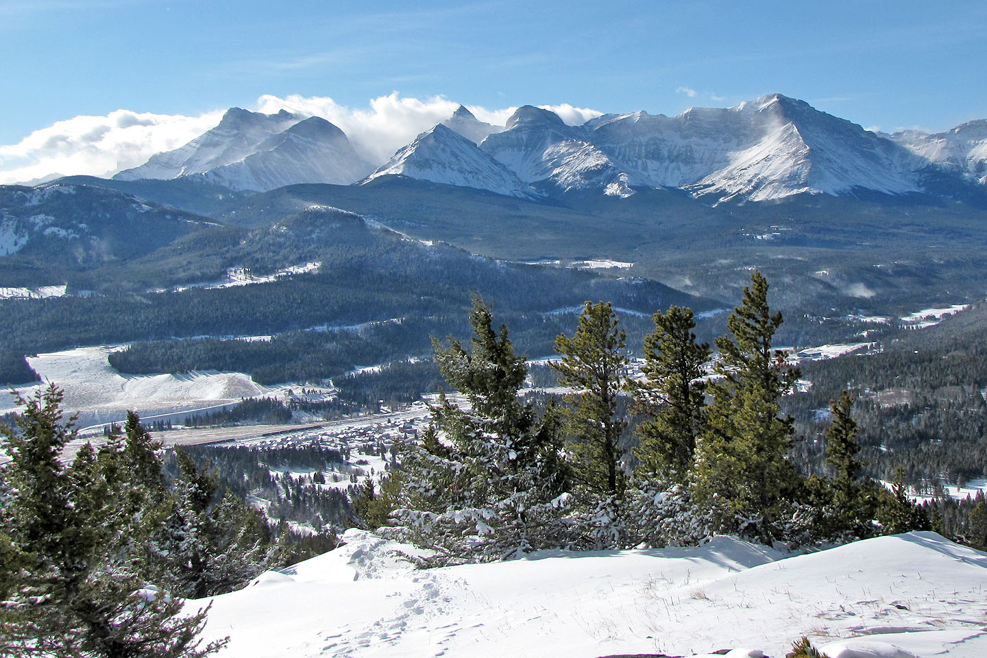
Mt. Coulthard, Mt. McLaren, Andy Good Peak, Mt. Parrish and Chinook Peak
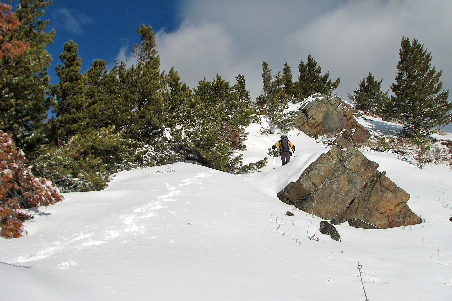
We followed the ridge
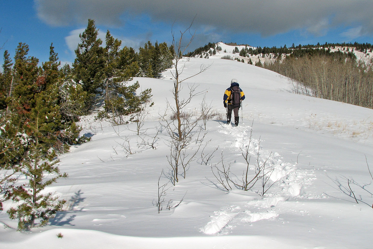
A long stretch of postholing lies ahead. The summit is on the right, hidden from view.
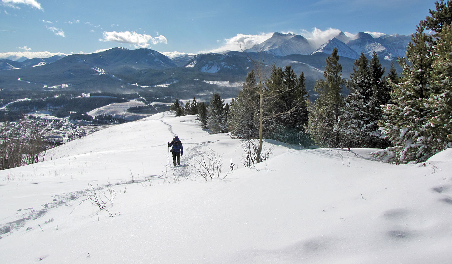
Looking back along the ridge
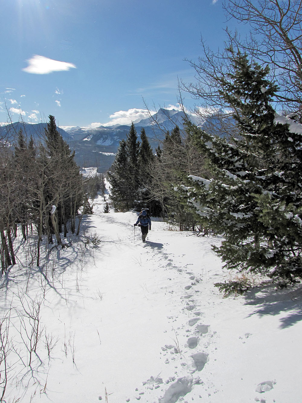
We followed a trail in the trees
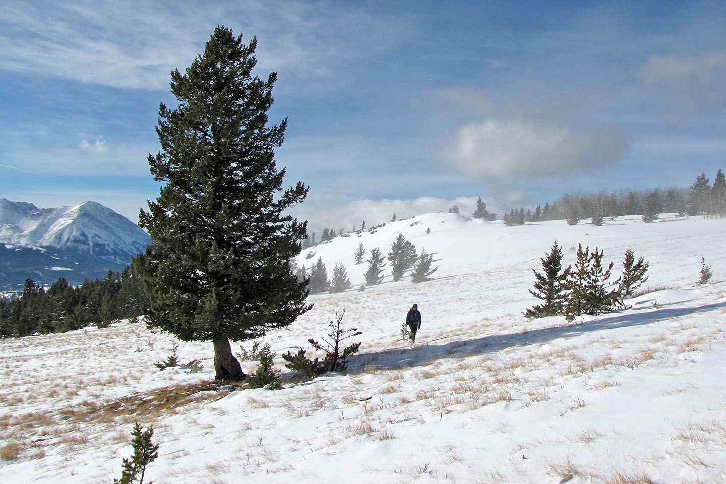
Looking back as we crossed an open slope
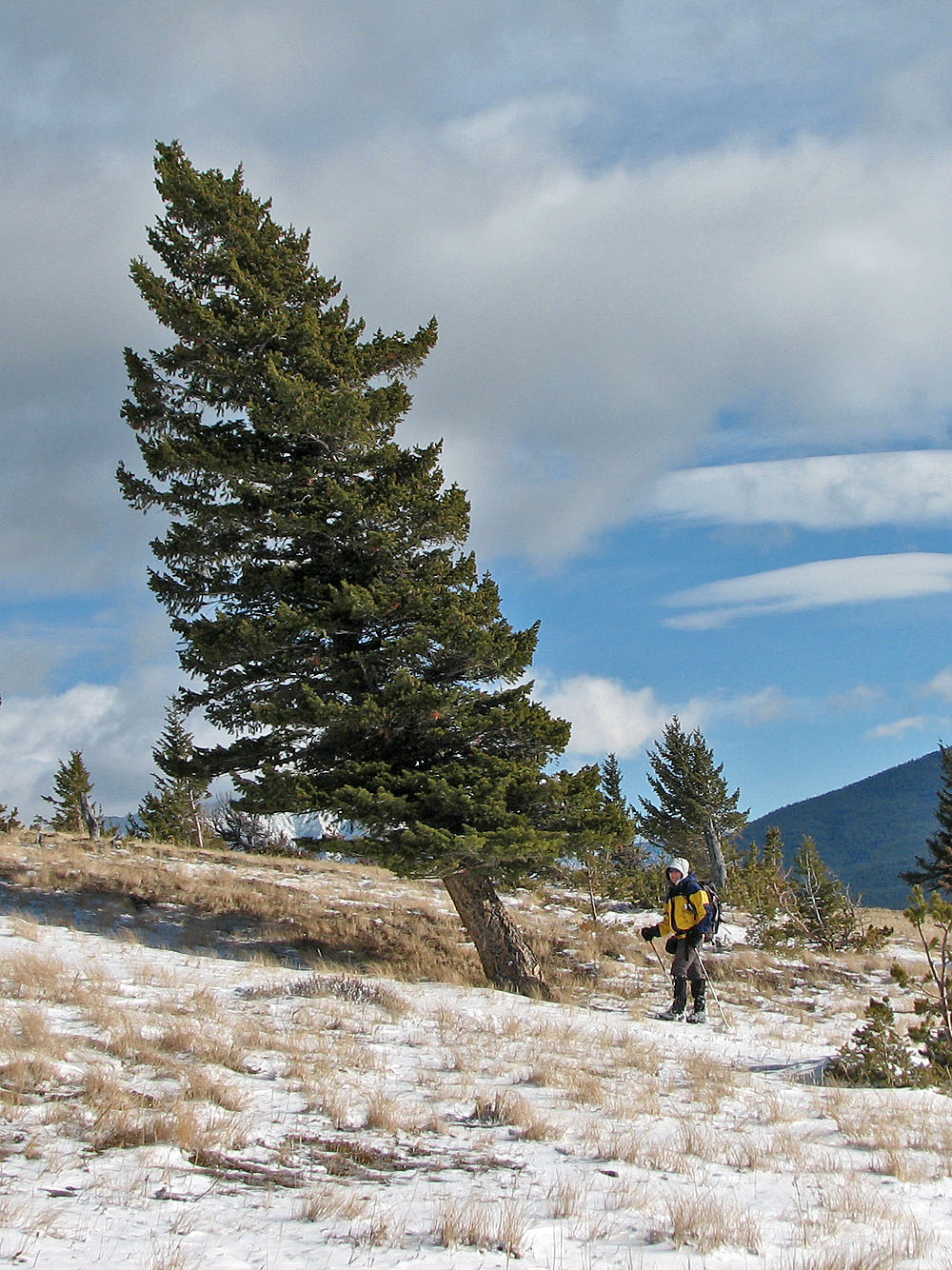
Leaning pine tree
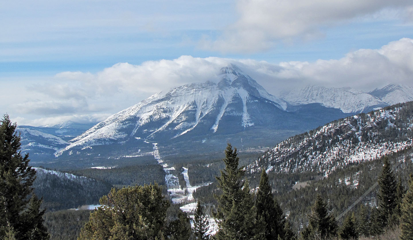
Mount Tecumseh lies west
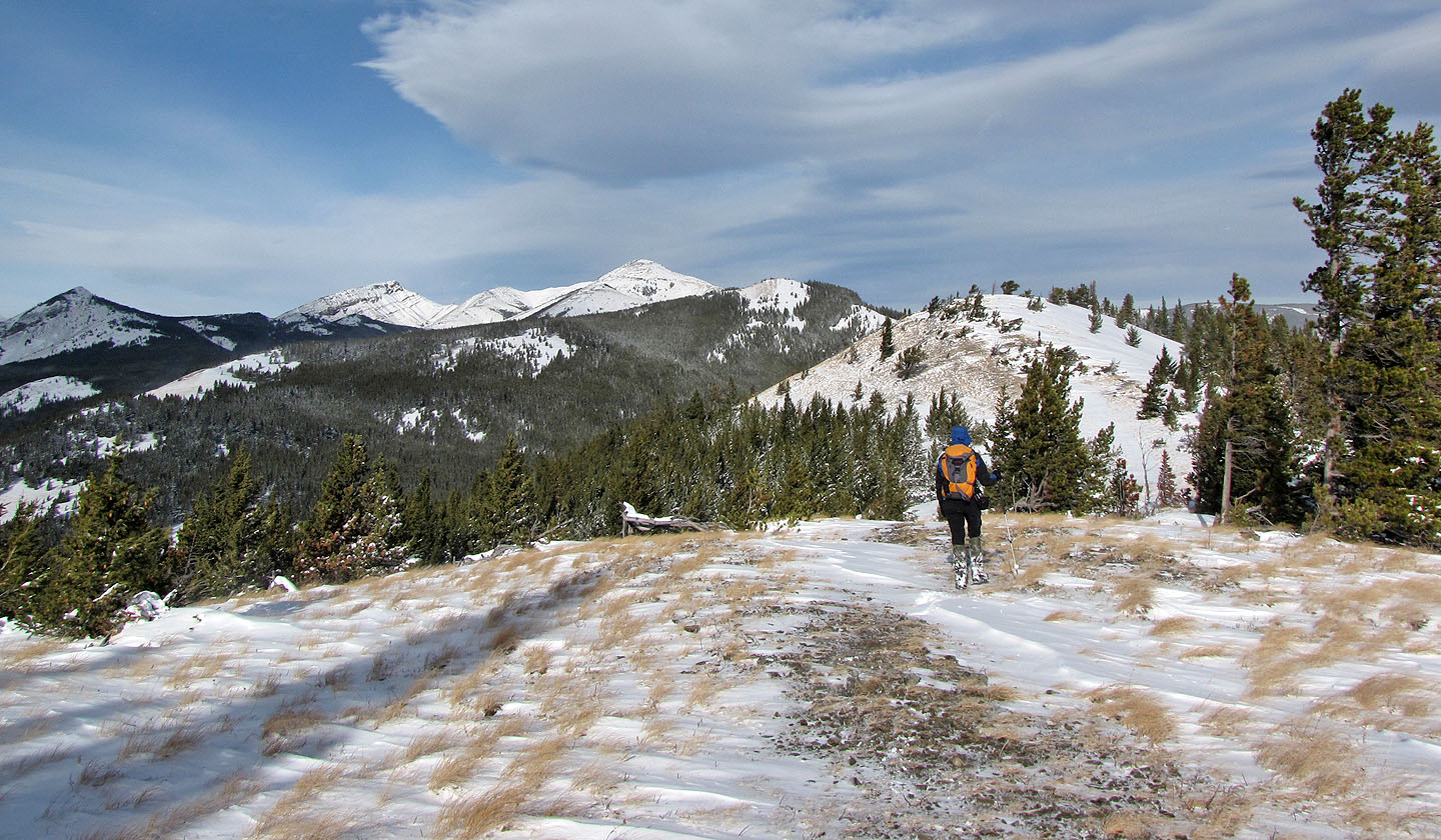
Dinah heads to the open summit. A higher, unnamed peak is on the left.
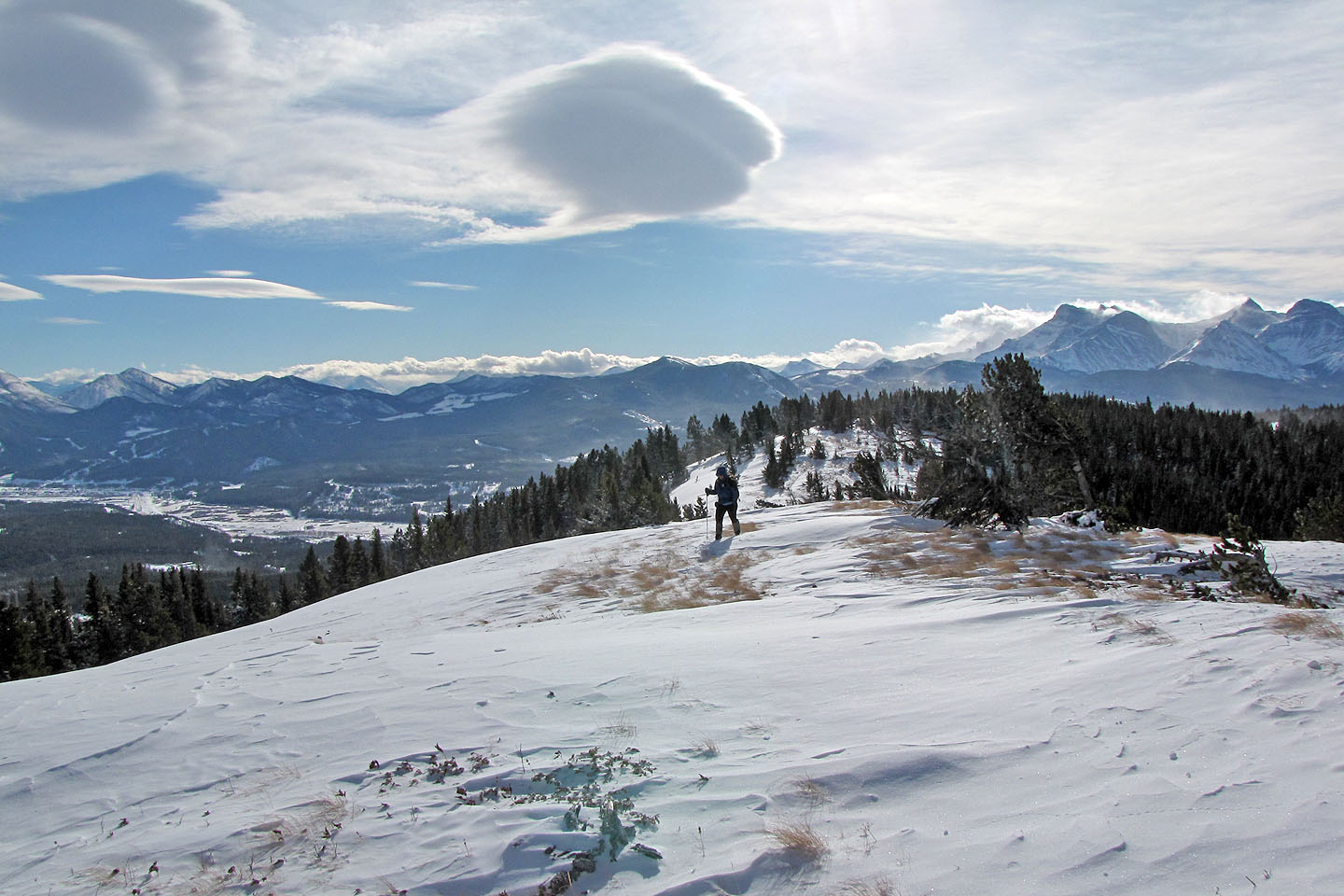
Looking back before reaching the summit
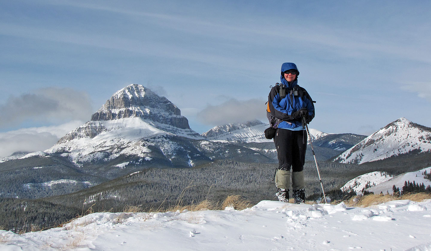
Dinah on the summit
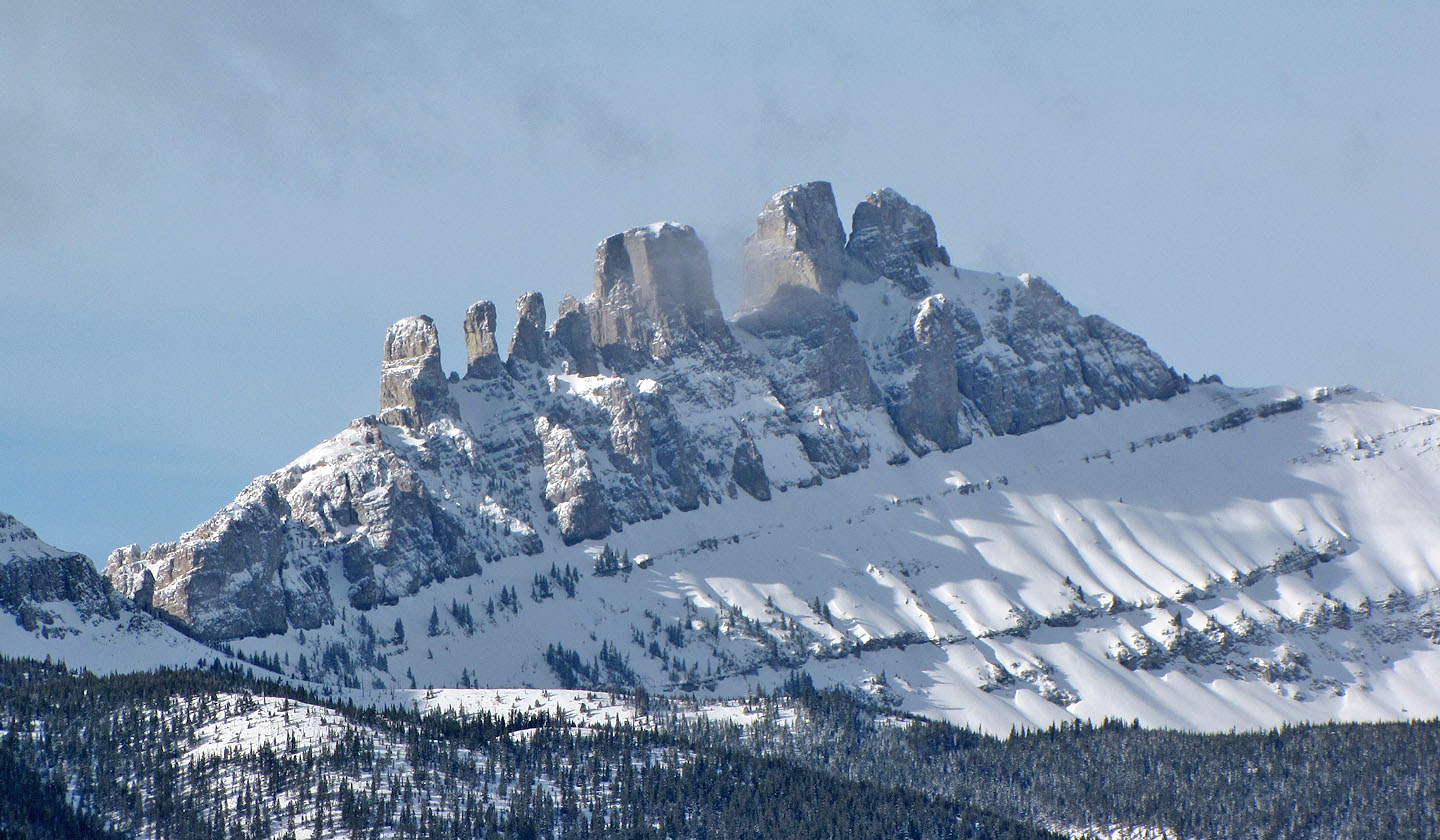
Seven Sisters
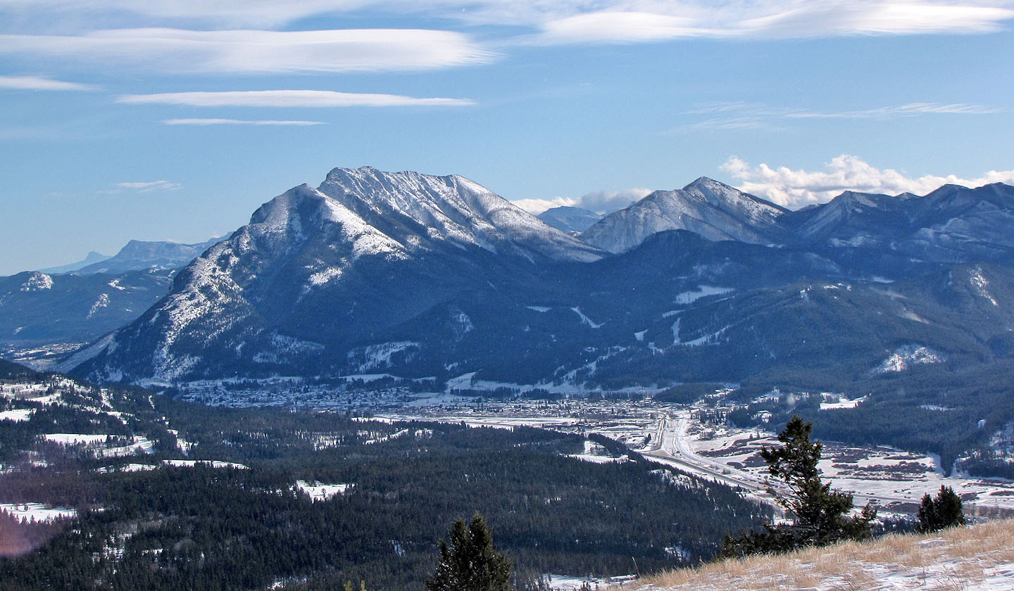
Turtle Mountain and Hillcrest Mountain
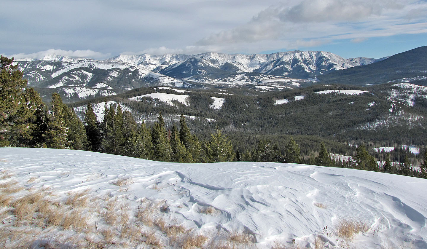
Grassy Mountain and Livingstone Ridge
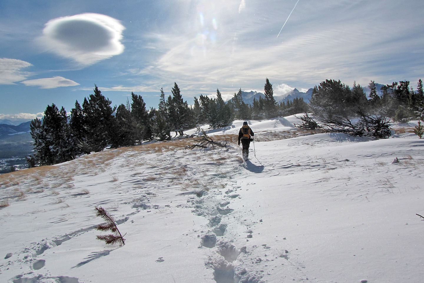
Heading back
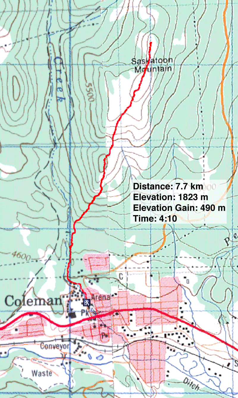
82 G/10 Crowsnest, 82 G/9 Blairmore

