bobspirko.ca | Home | Canada Trips | US Trips | Hiking | Snowshoeing | MAP | About

Limestone Mountain
Kananaskis, Alberta
July 11, 2012
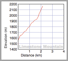
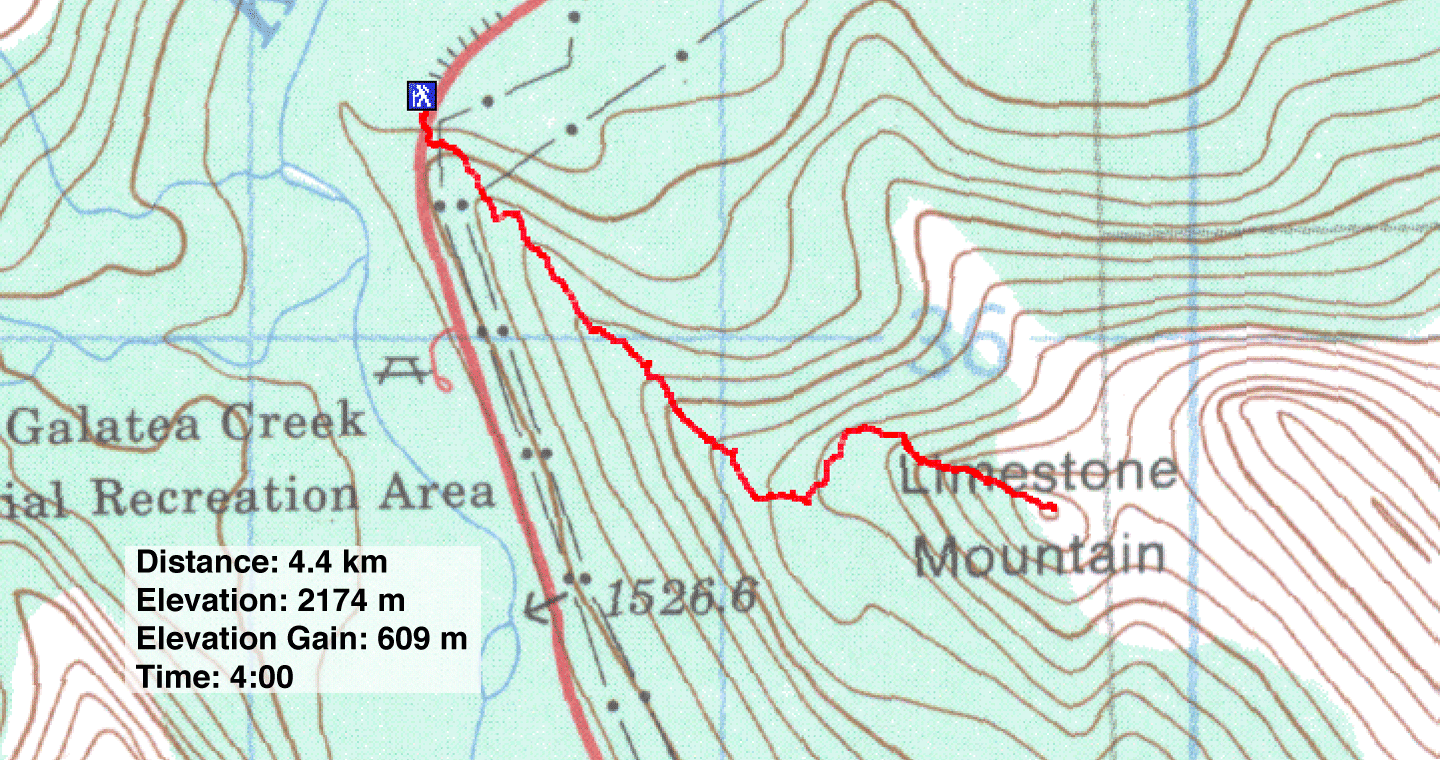
Distance: 4.4 km (2.7 mi)
Cumulative Elevation Gain: 660 m (2165 ft)
Ever since my Limestone Mountain attempt in 2006, I wanted to return to finish the job. Back then I took the scramble route, but this time I would hike. For the route, I referred to Sonny Bou's website.
After parking my car at the end of Limestone's west ridge, I hiked up to the powerline road. After taking a few dozen steps on the road, I spied a cairn on my left that marked the trail. It wasn't much of a trail, rather faint, but it quickly knocked off some elevation. After ascending 80 m, the trail passed a small structure, not much bigger than an outhouse. The trail continued only to become intermittent before disappearing altogether. No matter, all I had to do was stay on the ridge.
But it wasn't that easy. Stuck in trees, unable to see much past several metres, I often found it difficult to determine the path of least resistance. Whenever I encountered dense vegetation or steep rock outcrops, I couldn't tell which way was best: left, right or attack the obstruction head-on. I kept to the right at the beginning where it seemed more open, but that didn't last long.
On the last 500 m, after reaching an open shoulder, the grade increased sharply, as did the occurrence of steep, slabby rocks. Here it was better to keep left. Even taking only a few steps to my left revealed easy walk-up routes. (Keep right to scramble if that's your preference.)
I reached the top of Limestone Mountain without fanfare. But then, there was no one around to notice my achievement. And too, it was only the 4105th highest mountain in Canada (according to Peakery.com). Seriously, Limestone Mountain may be a modest endeavour with the best views reserved for the summit because of a claustrophobic ascent in trees, but it serves well as a half-day trip.
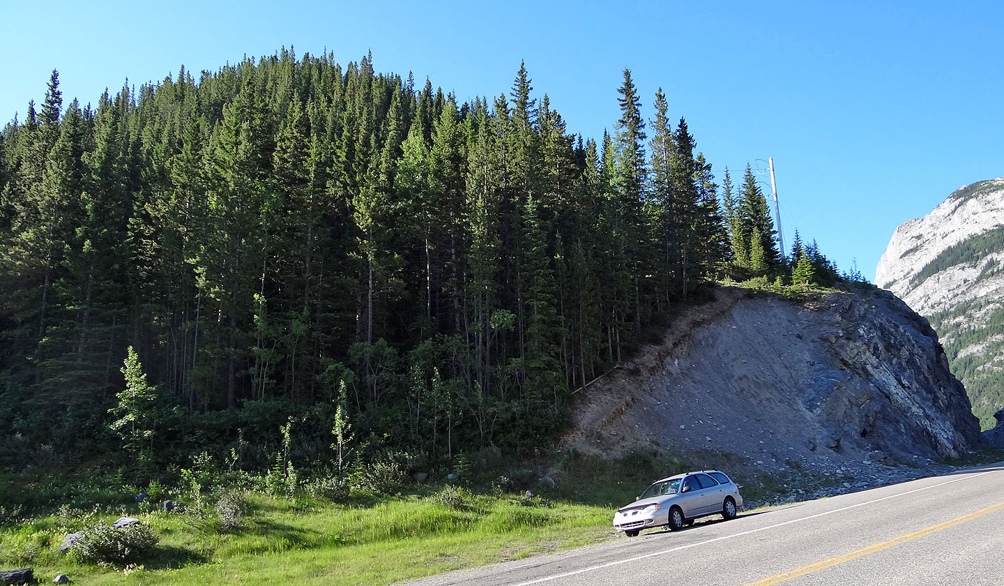
Starting point
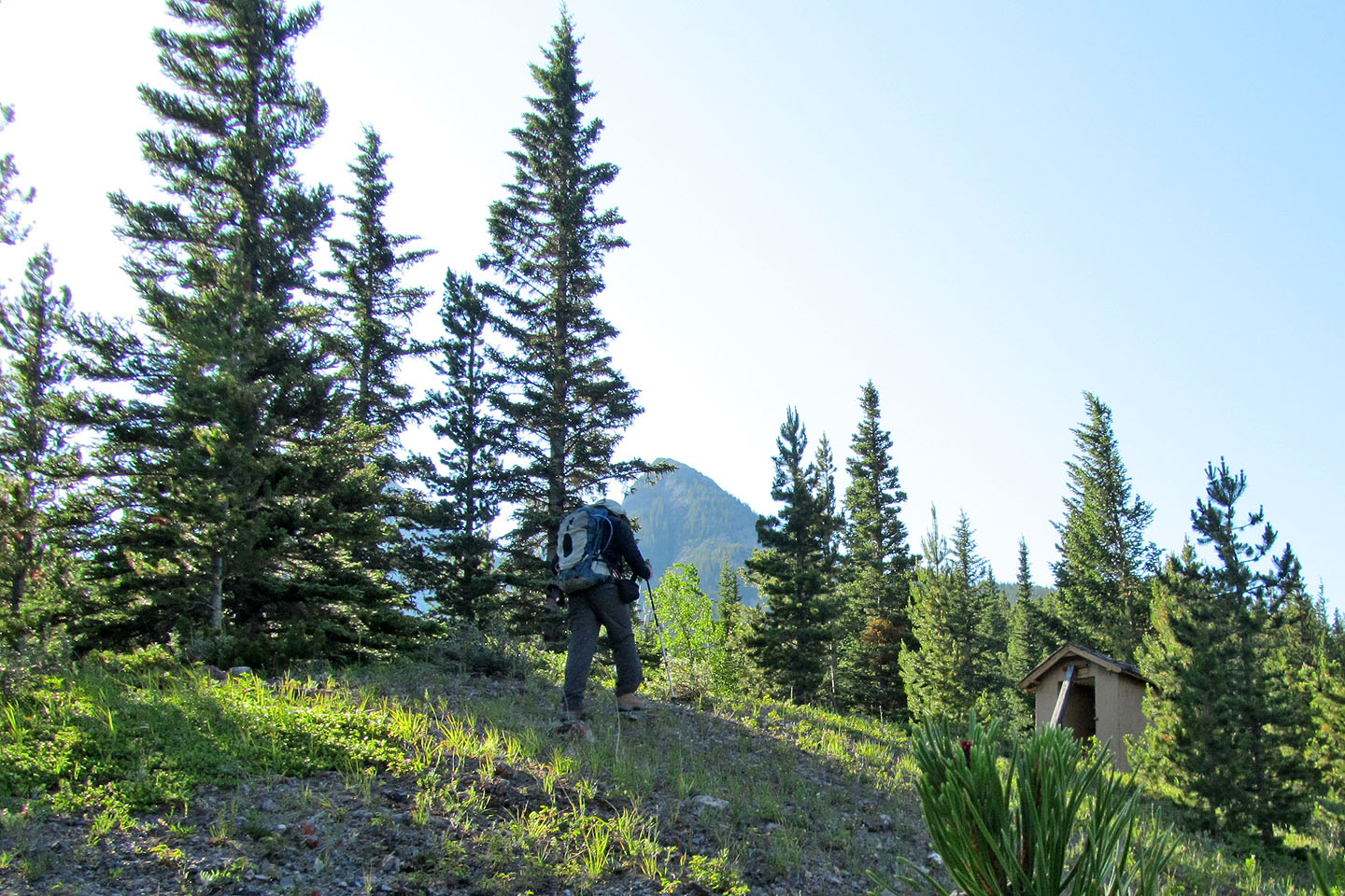
I passed a small structure on my way to Limestone Mountain, seen in the distance
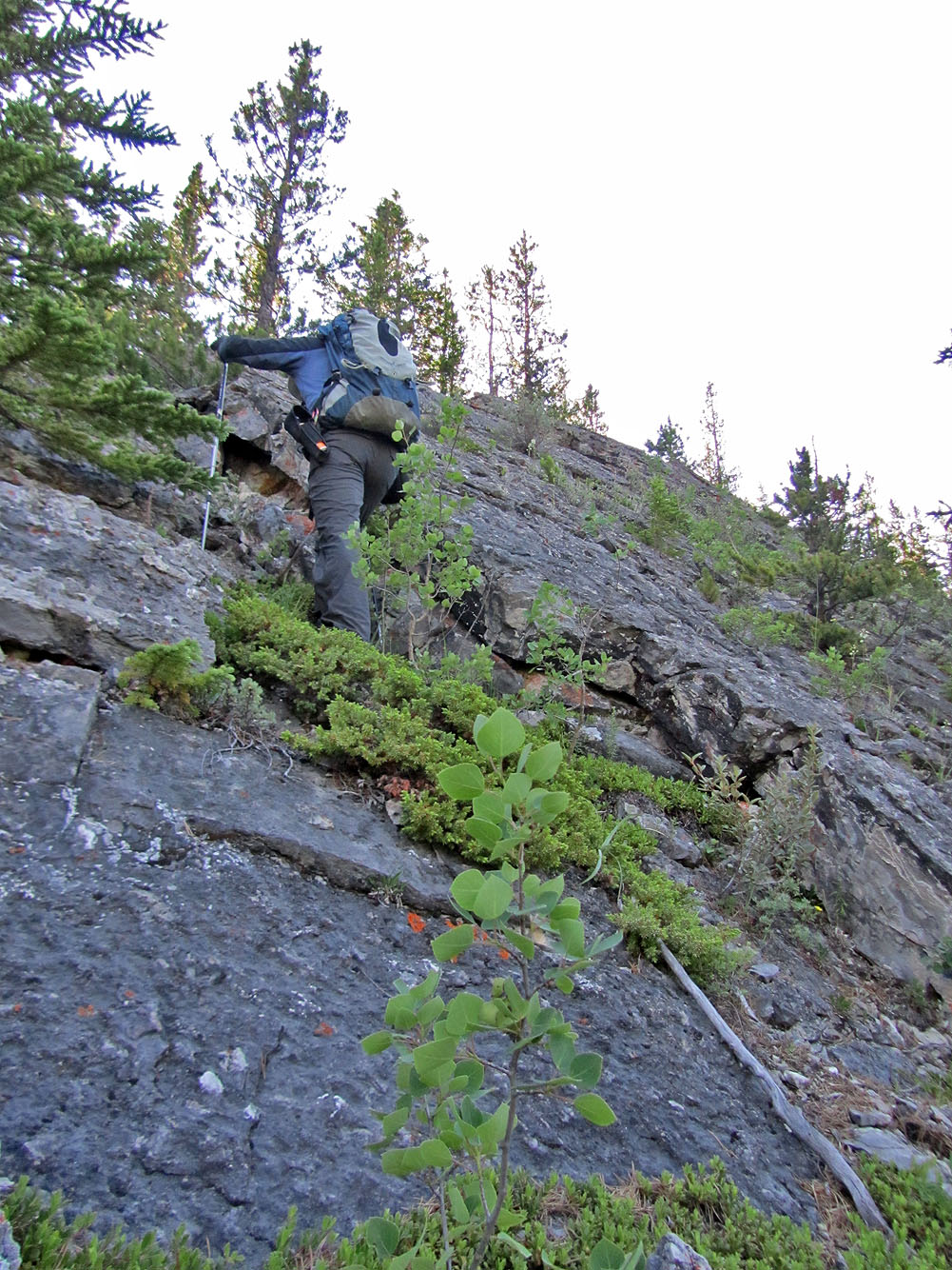
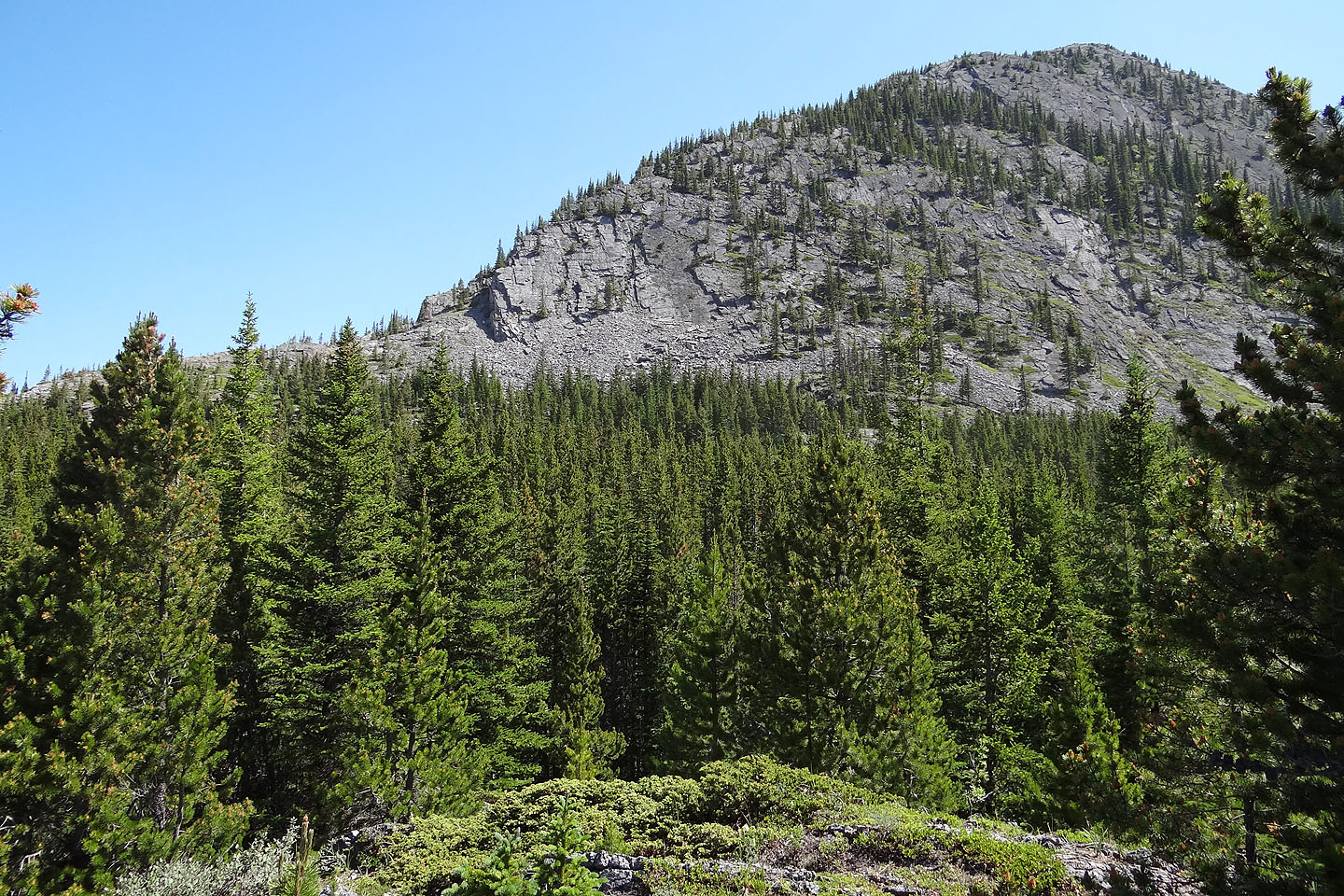
Lots of slabby rock outcrops on the ridge
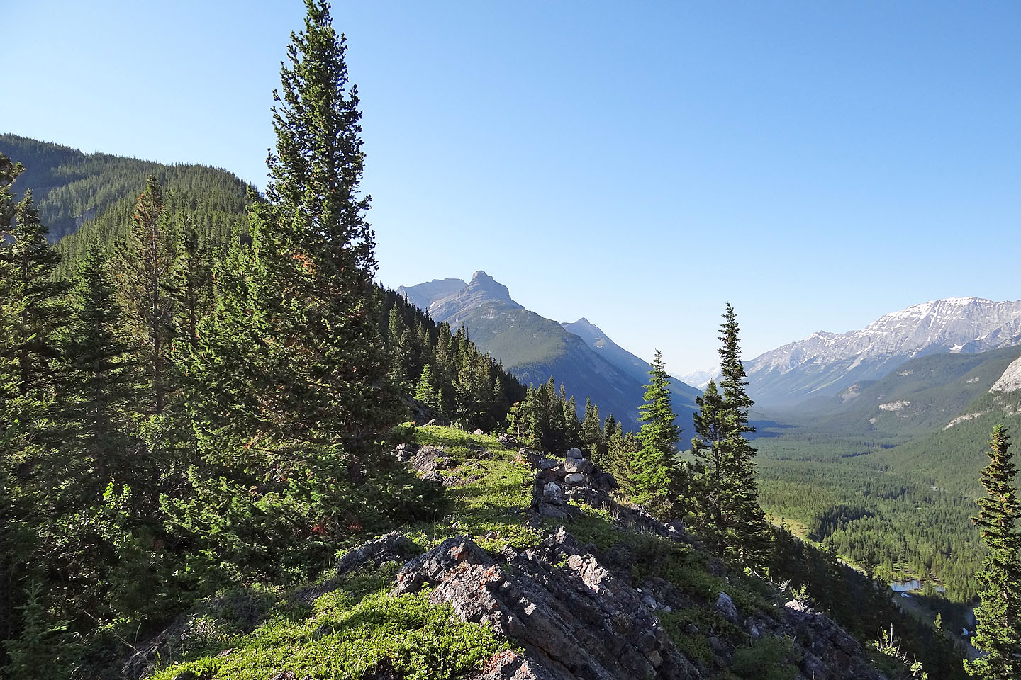
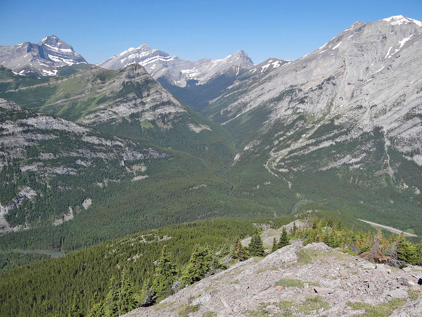
Looking ahead along the ridge with Opal North in the background (mouse over)
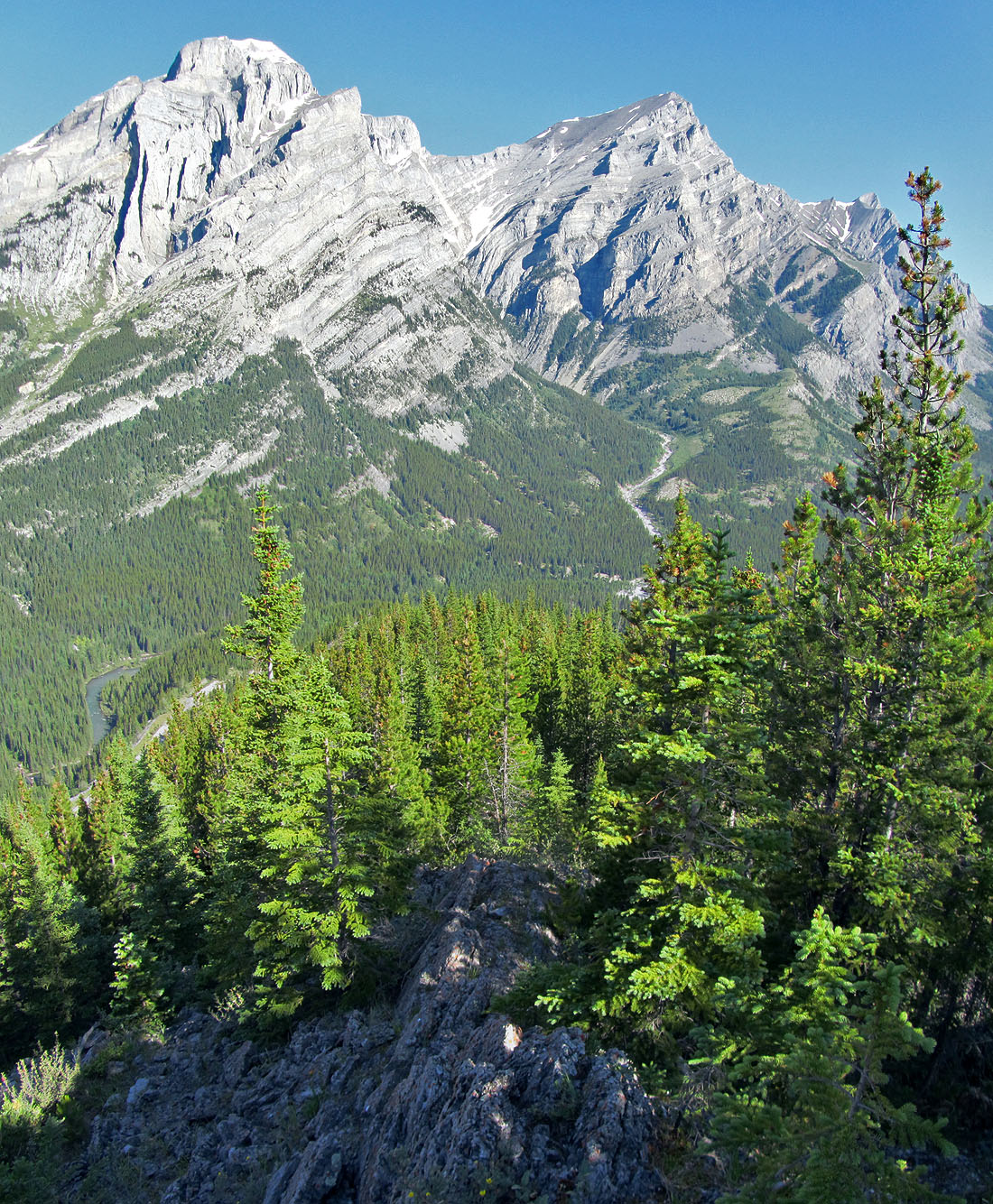
Looking back at Mount Kidd on the right
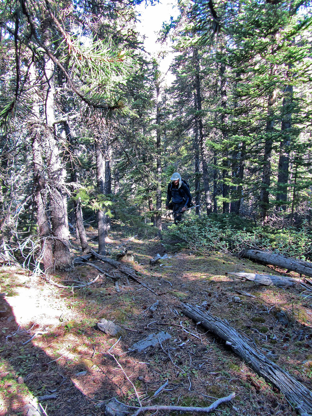
I spent most of the hike in trees
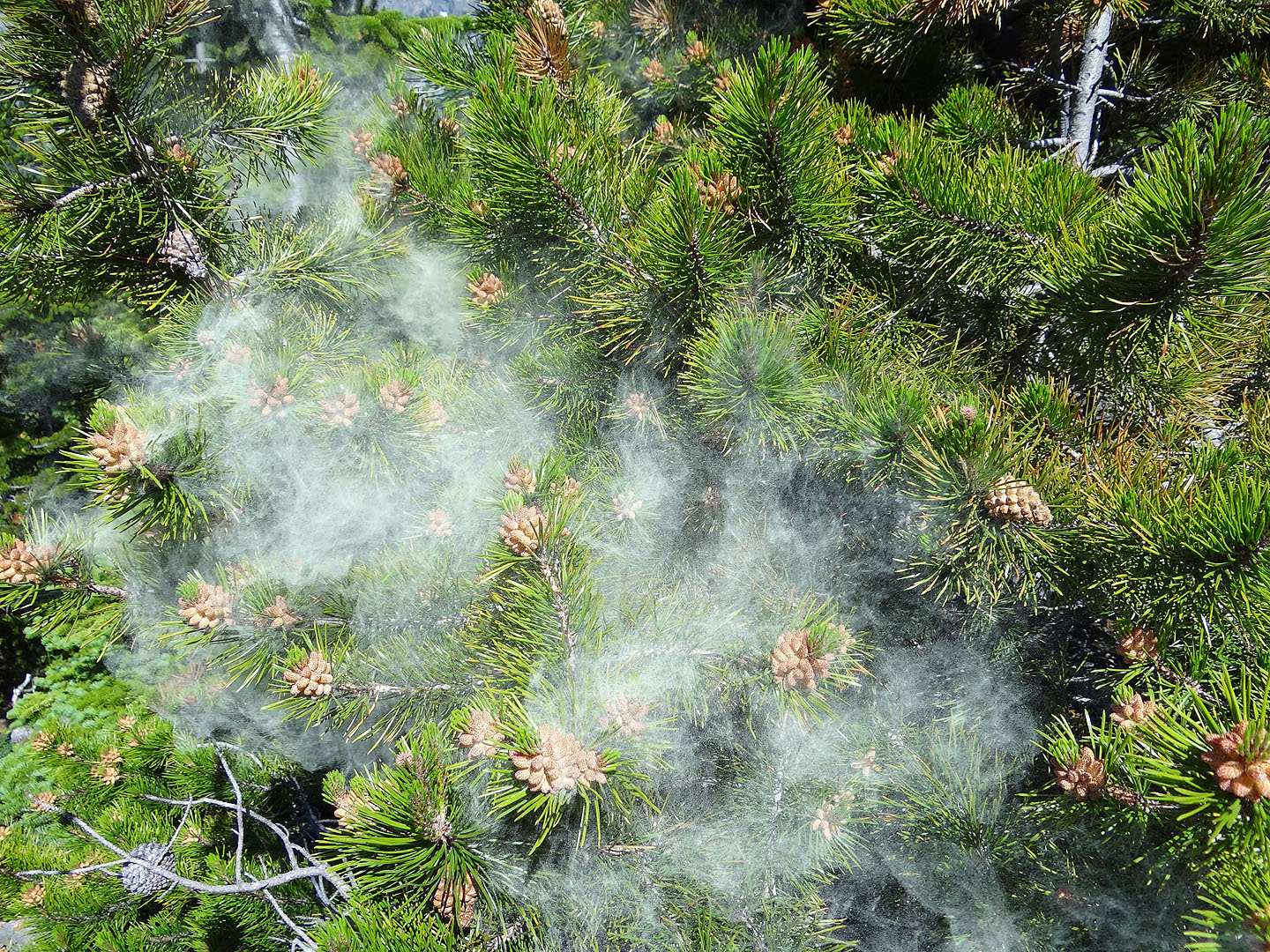
Whenever I knocked a pine tree, it exploded with pollen. The pollen quickly dissipated, but I was
left covered with it. It even dusted my sunglasses and my camera lens.
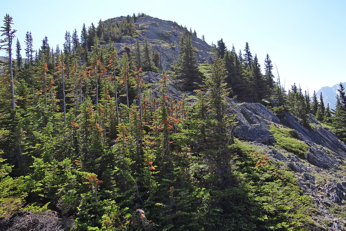
From here the ridge swings left to a shoulder. From the shoulder it's a steep climb to the summit.
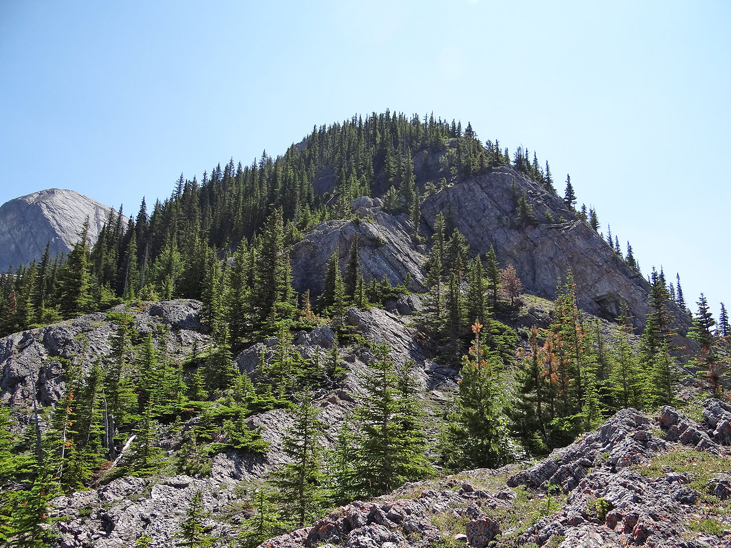
After the shoulder, I kept left whenever the way looked doubtful (mouse over to see
my route). Summit is hidden.
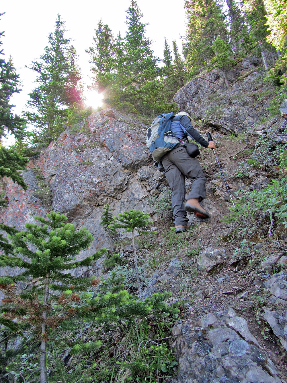
Although steep it was mostly a hike
More steep hiking
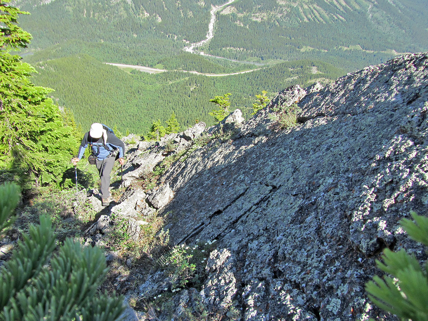
The grade eases just before the summit
Looking down at the ridge from just below the summit
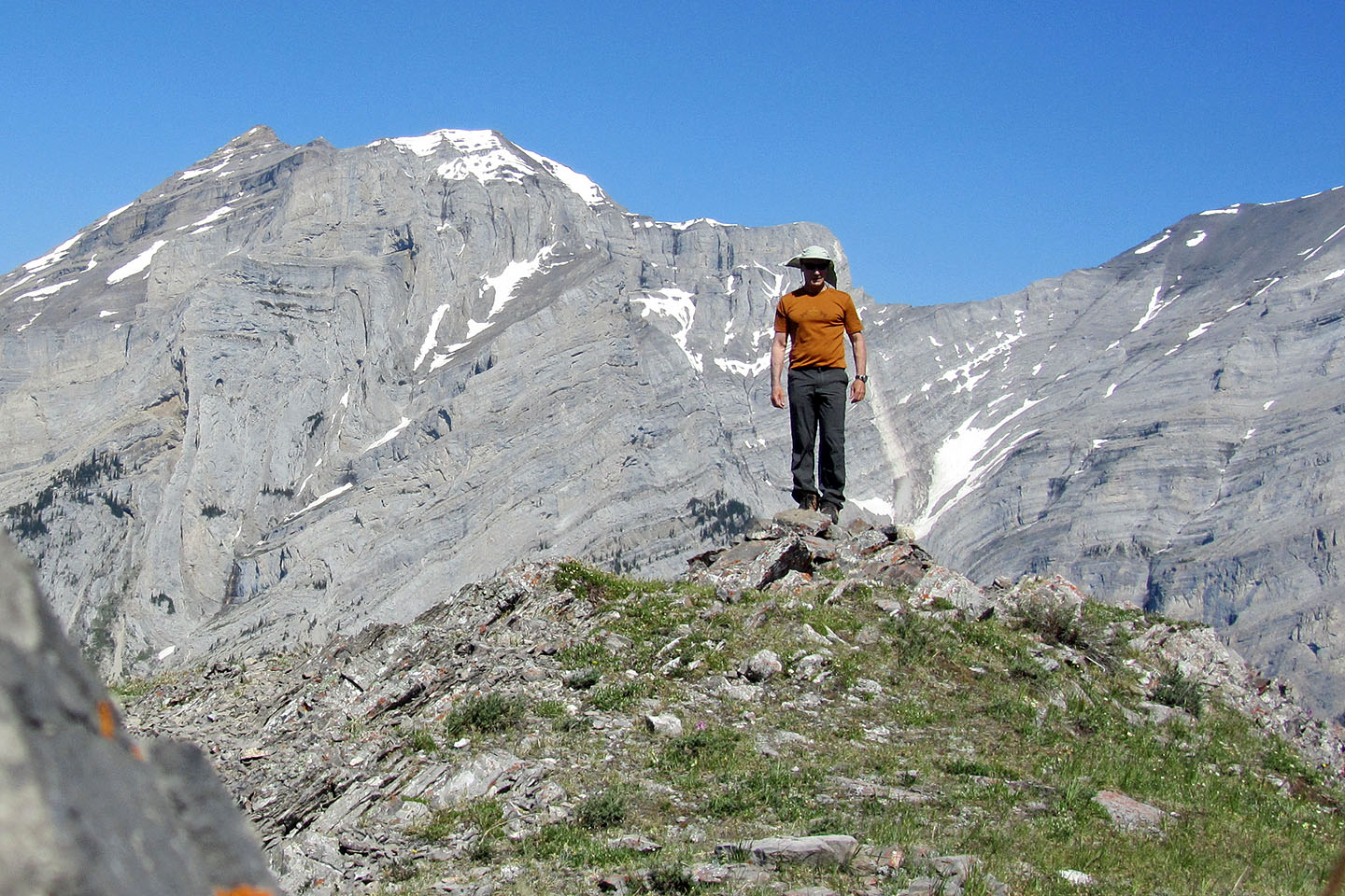
The summit
82 J/14 Spray Lakes Reservoir