bobspirko.ca | Home | Canada Trips | US Trips | Hiking | Snowshoeing | MAP | About
Packenham Junior
Kananaskis, Alberta
August 15, 2020
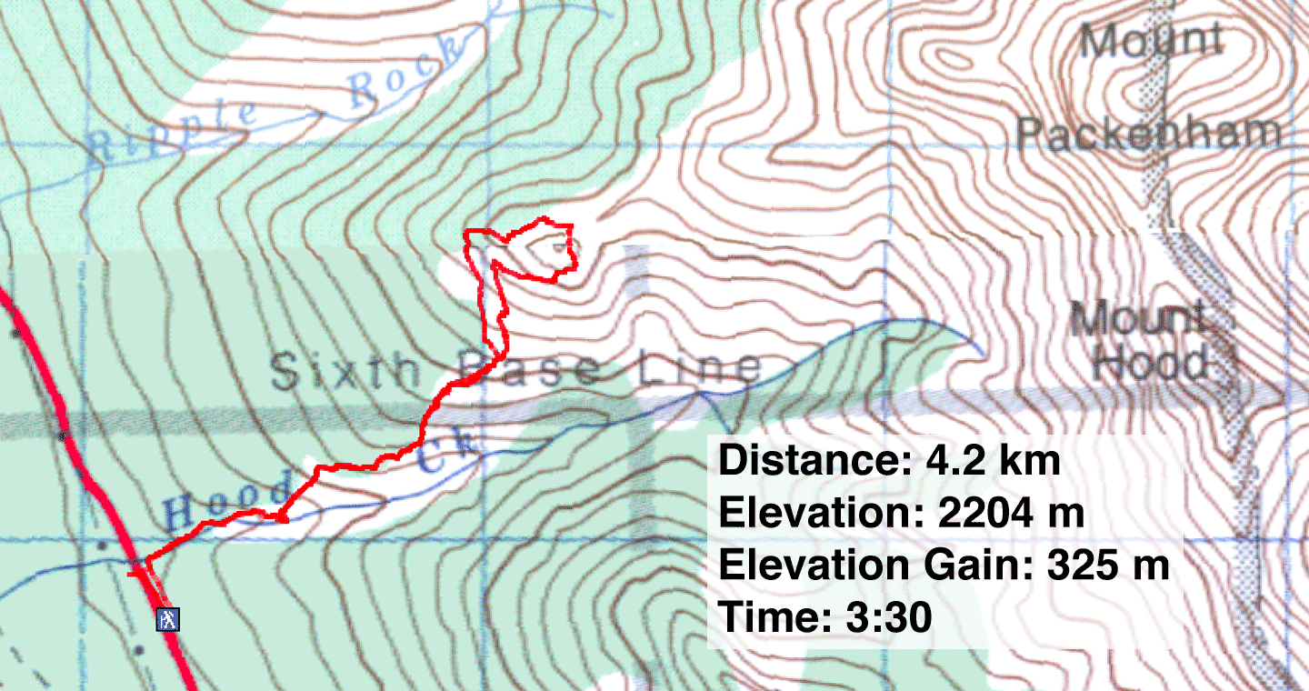
Distance: 4.2 km (2.6 mi)
Cumulative Elevation Gain: 642 m (2106 ft)
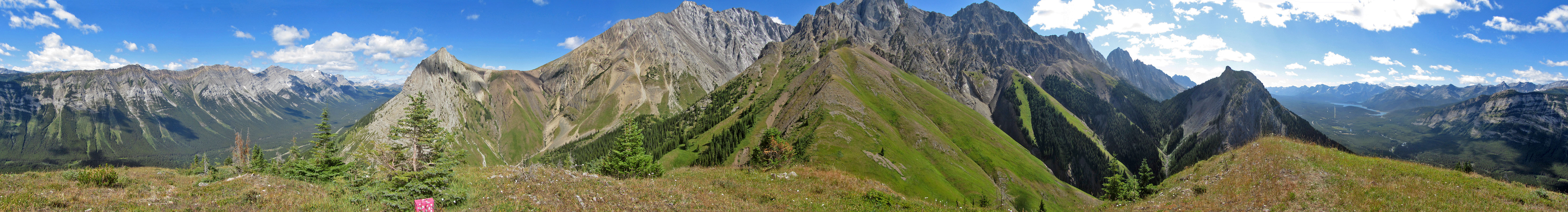
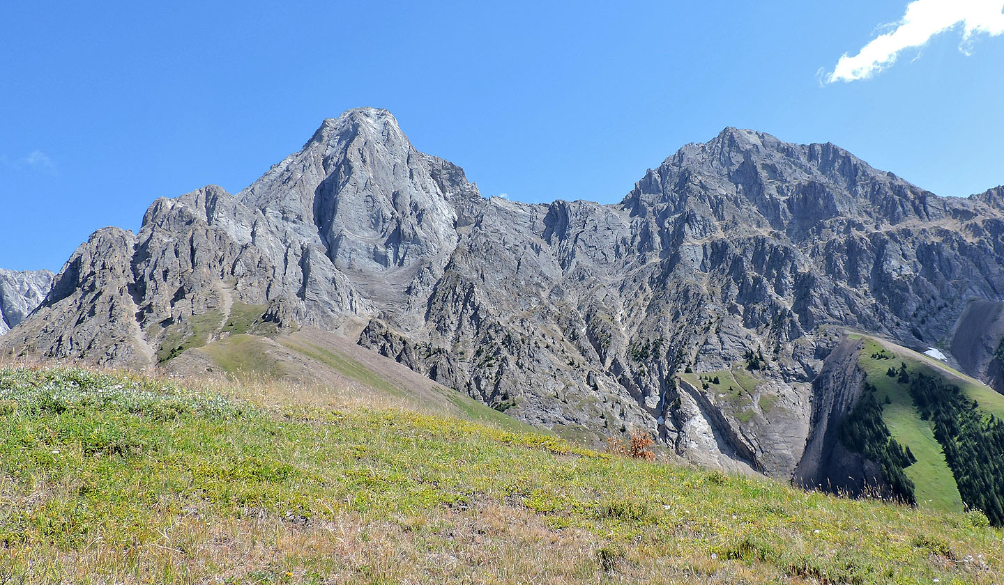
Although sandwiched between two higher peaks – Grizzly Peak and King Creek Ridge – Packenham Junior holds its own when it comes to views. The summit is surprisingly pleasant for a diminutive peak. And unlike its two neighbours, you can expect to find solitude, although I was pleased to run into someone I knew but had never met.
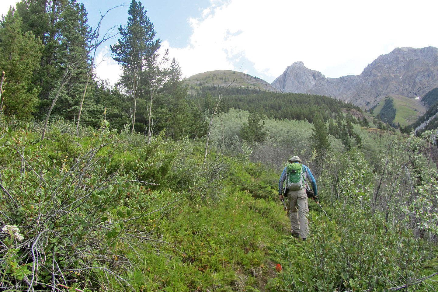
The trip begins on a trail on the left side of Hood Creek. To avoid the steep southwest slopes of Packenham Junior, some hikers suggest abandoning the trail after a hundred metres and making a beeline for the gentler northwest ridge. But I could see no cogent reason for leaving a perfectly good trail early in the game. Even if I hit uncomfortable steep terrain, I could always head for the northwest ridge from wherever I was. Besides, curiosity drove me to see where the path led.
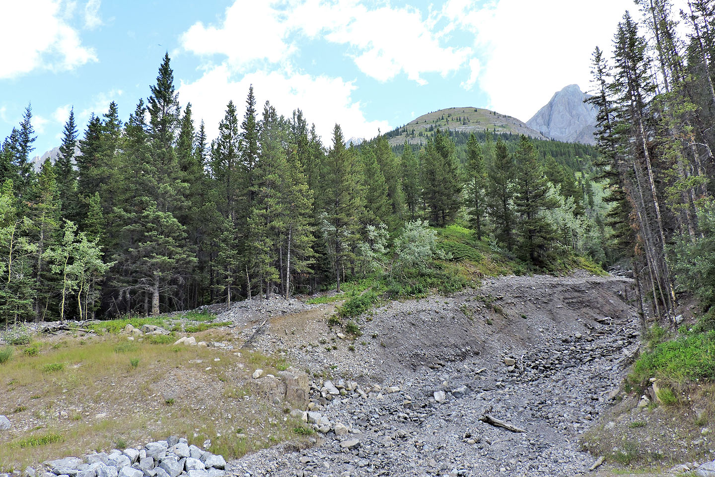
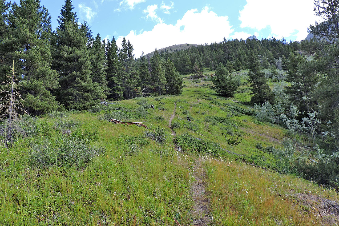
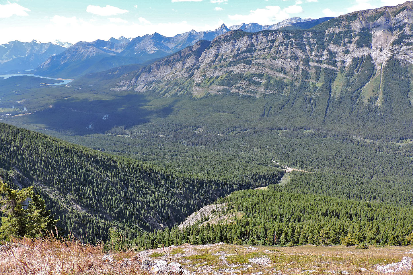
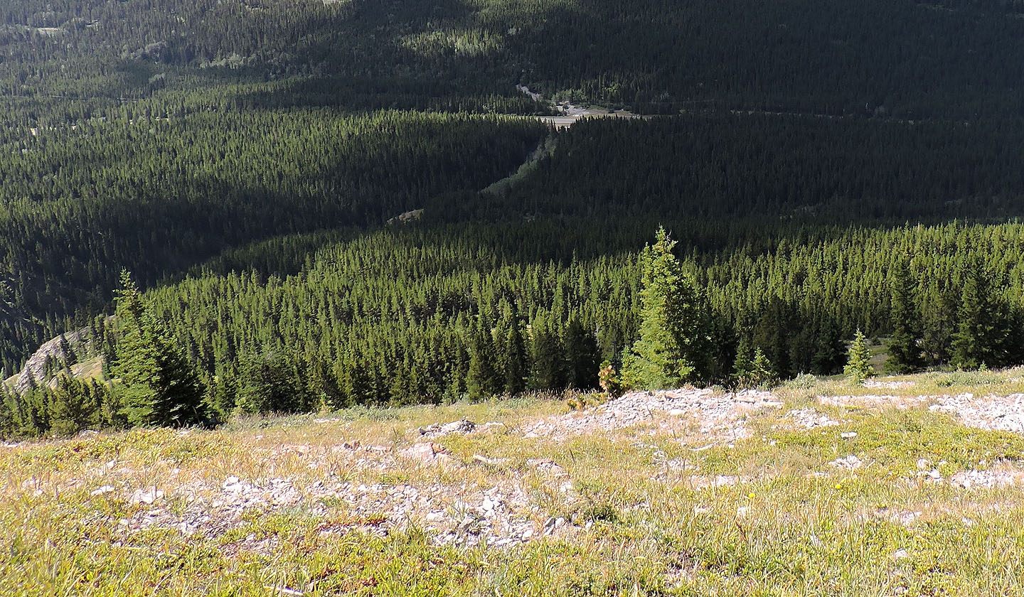
I hiked up the trail as it followed the rim of the canyon bearing Hood Creek. The trail mostly runs through meadows, but sometimes it draws close to the intriguing canyon. But after a kilometre, the trail fizzled out. I continued on bits of path until I reached a conspicuous boulder in a meadow. This became an important landmark (330234).
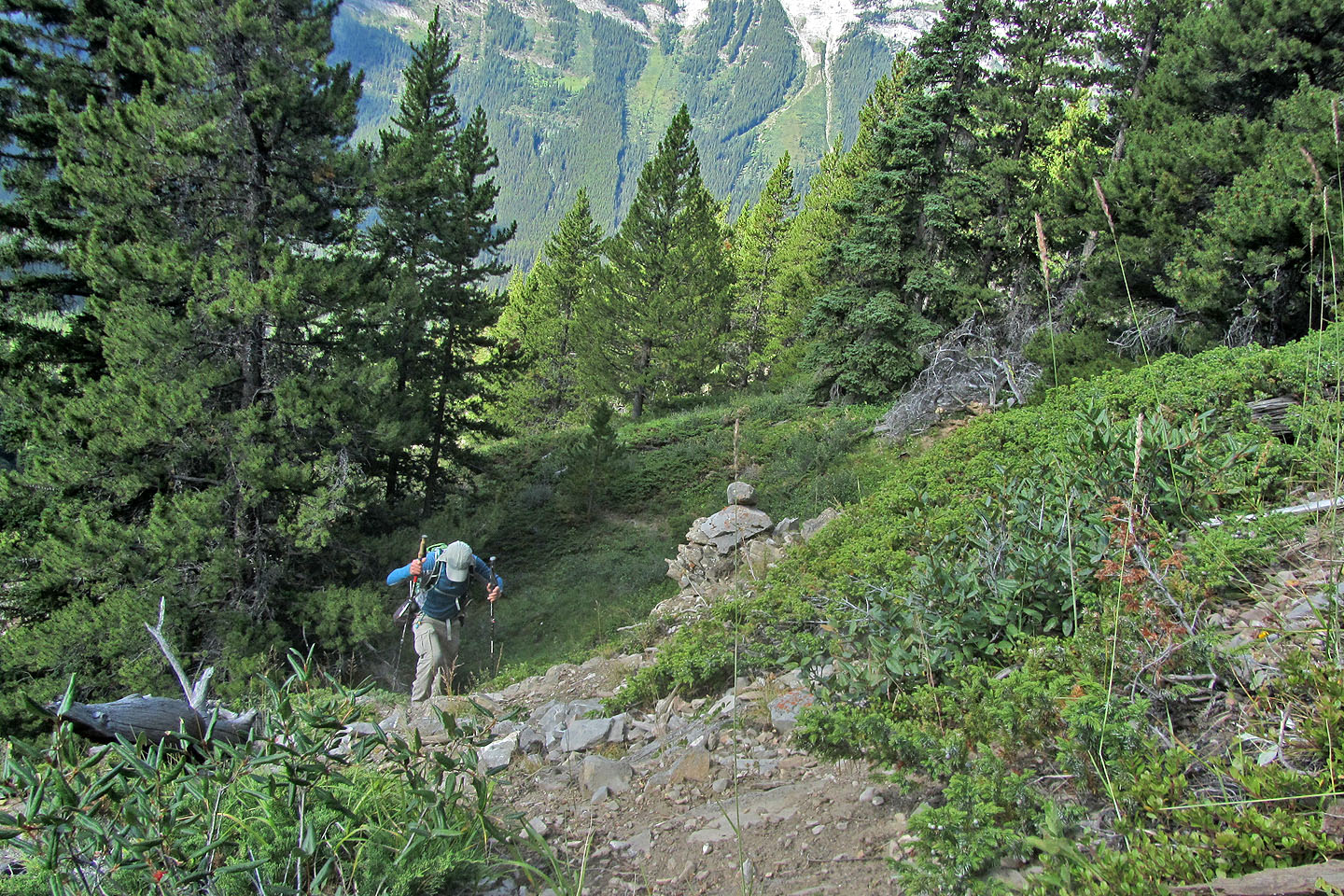
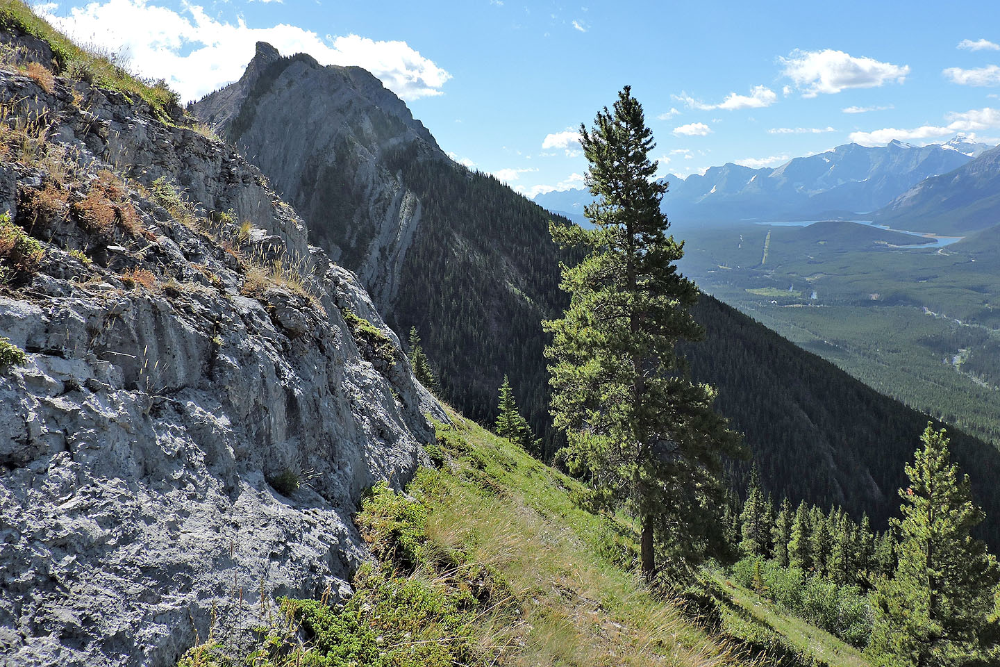
After the boulder, I continued up until the slope suddenly steepened. Rather than tackle the rising terrain directly, I angled left and went around a rock band. Still avoiding going straight up, I angled right and gained the open south ridge. From there, I walked to the summit.
A few minutes later, two hikers joined me on the top of Packenham Junior. One of them was Alf Skrastins. Anyone who has scrutinized Kananaskis Country Trail Guide, will likely recognize his name. We had exchanged emails but never met. With him was his friend Paul. They had started from Grizzly Creek and came up the northwest ridge. They planned to continue down to the col connecting to Mount Packenham and loop back on the trail to Grizzly Peak.
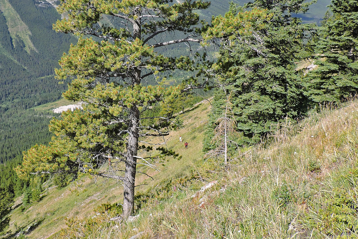
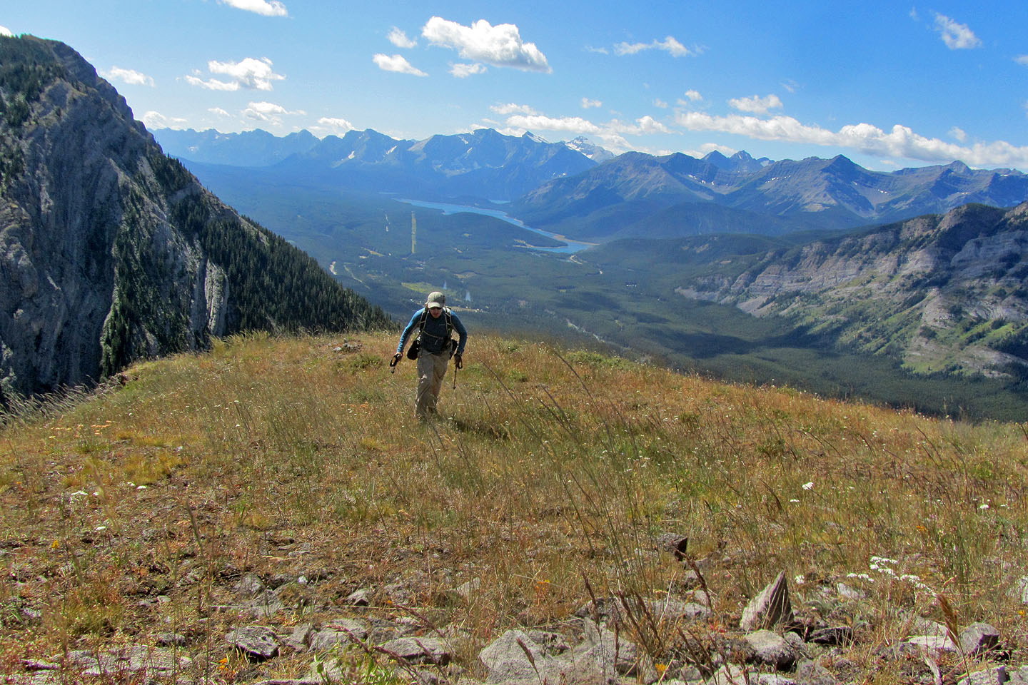
After leaving Alf and Paul on the summit, I decided to descend the northwest ridge. Gentle at first, it soon became quite steep, although nothing like the southwest slope. I continued down, avoiding scree and trees. The grade eased, but then I hit another steep section, this one forested.
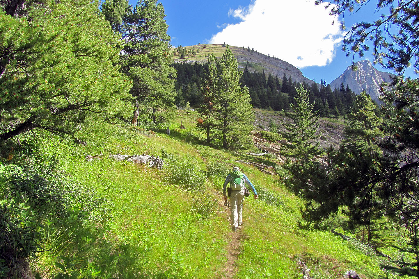
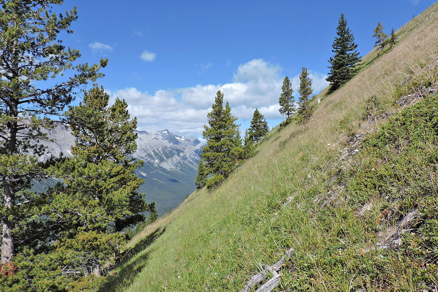
More attractive than bushwhacking down the ridge at this point was traversing the gentle slopes on my left, mostly through meadows. So I headed toward the trail. In 20 minutes, I conveniently came to a familiar spot, the boulder I saw earlier. I picked up the trail and followed it back.
My descent, I'm sure, would make a good ascent route from the trail: turn left at the boulder, angle up but keep to gentle slopes until you reach the northwest ridge. Then follow the ridge to the fine summit.
The trail begins on the left side of Hood Creek
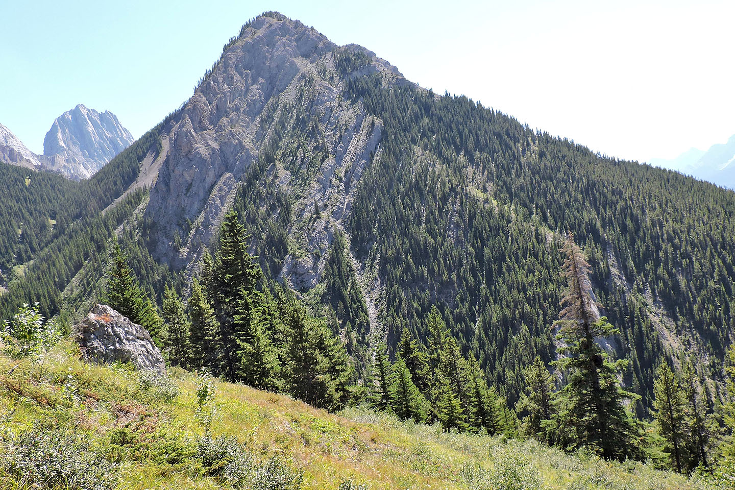
After hiking through a few trees, Packenham Junior came into view
The route takes advantage of meadows
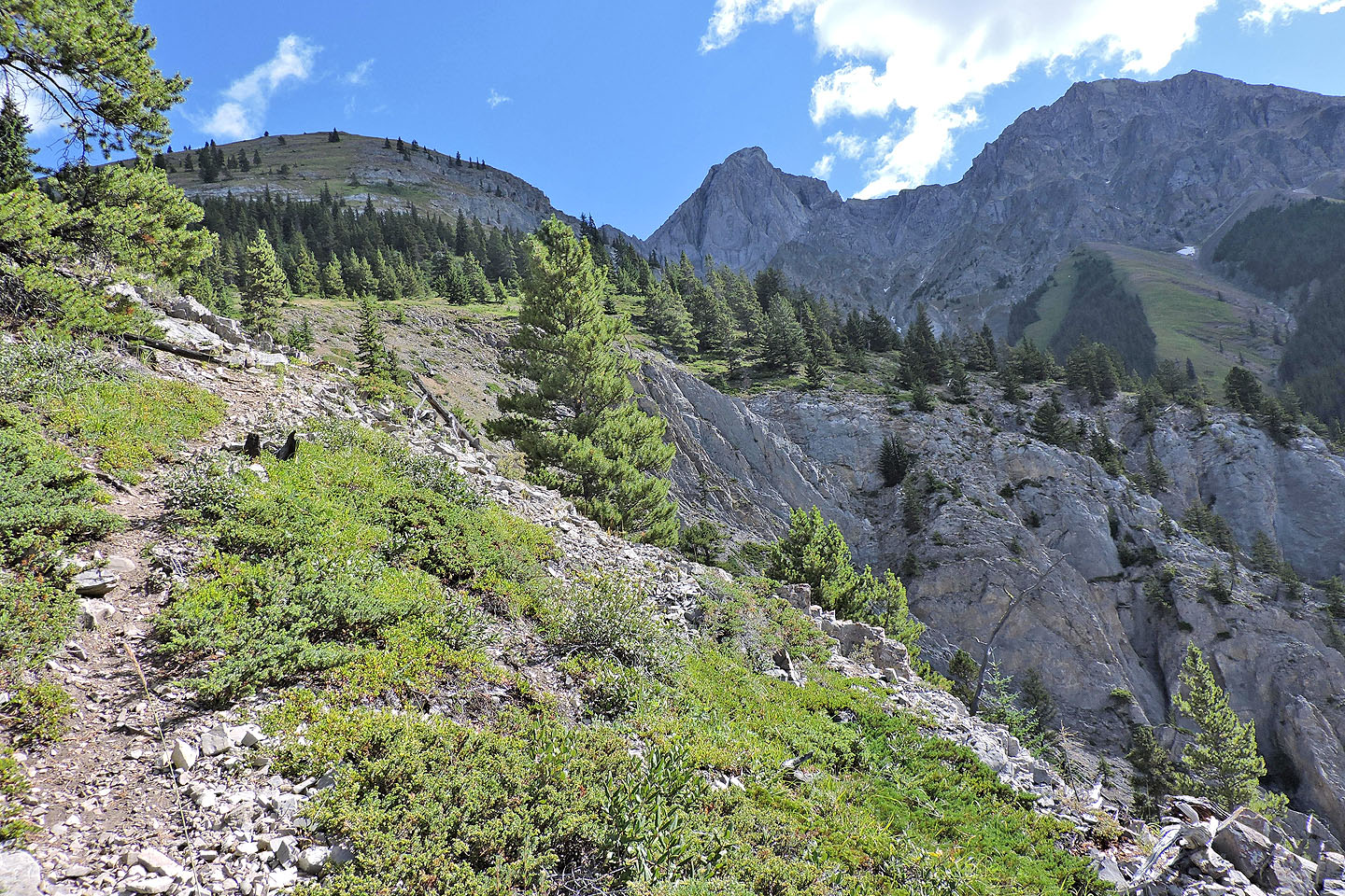
The trail generally keeps close to the canyon
Passing a cairn
The trail soon ends after this point
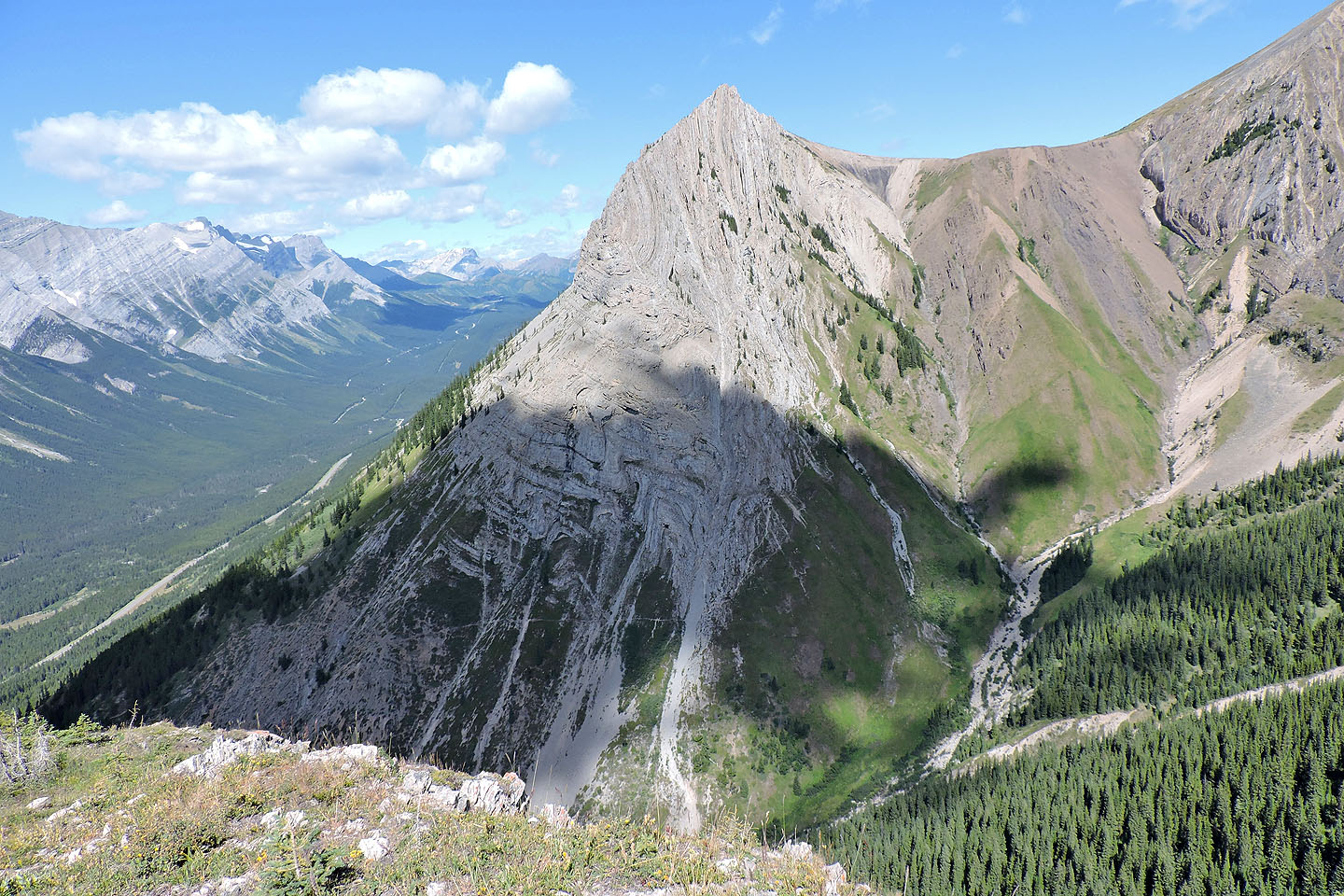
This boulder became a pivotal landmark. Above it is South End of Lawson.
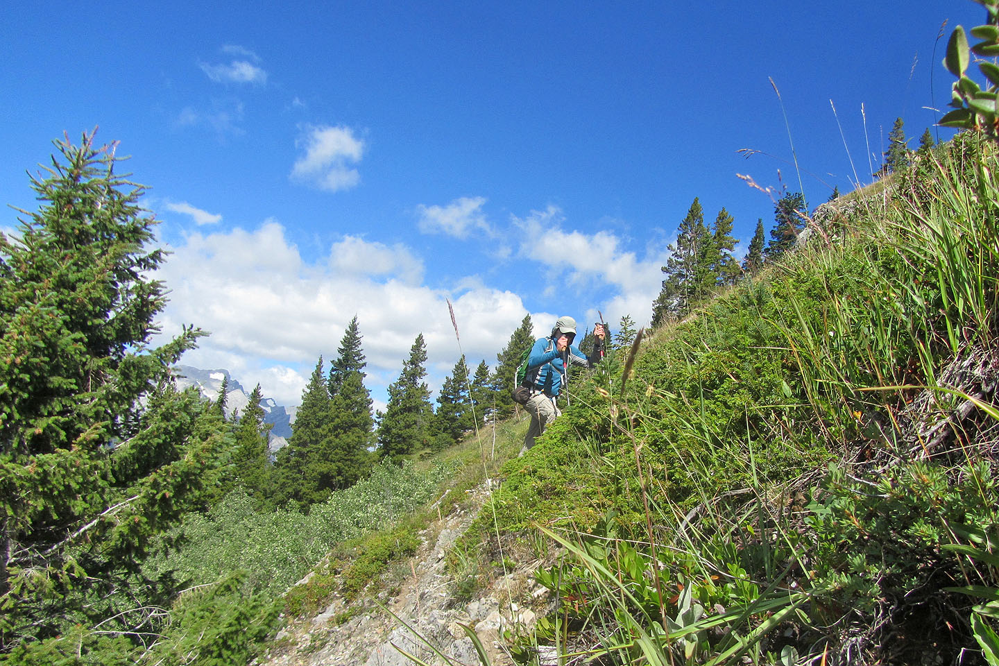
The grade soon steepens
Instead of scrambling up this rock band, I went around it
Alf and Paul were also heading to the summit
The trees indicate how steep the slope is
Looking back
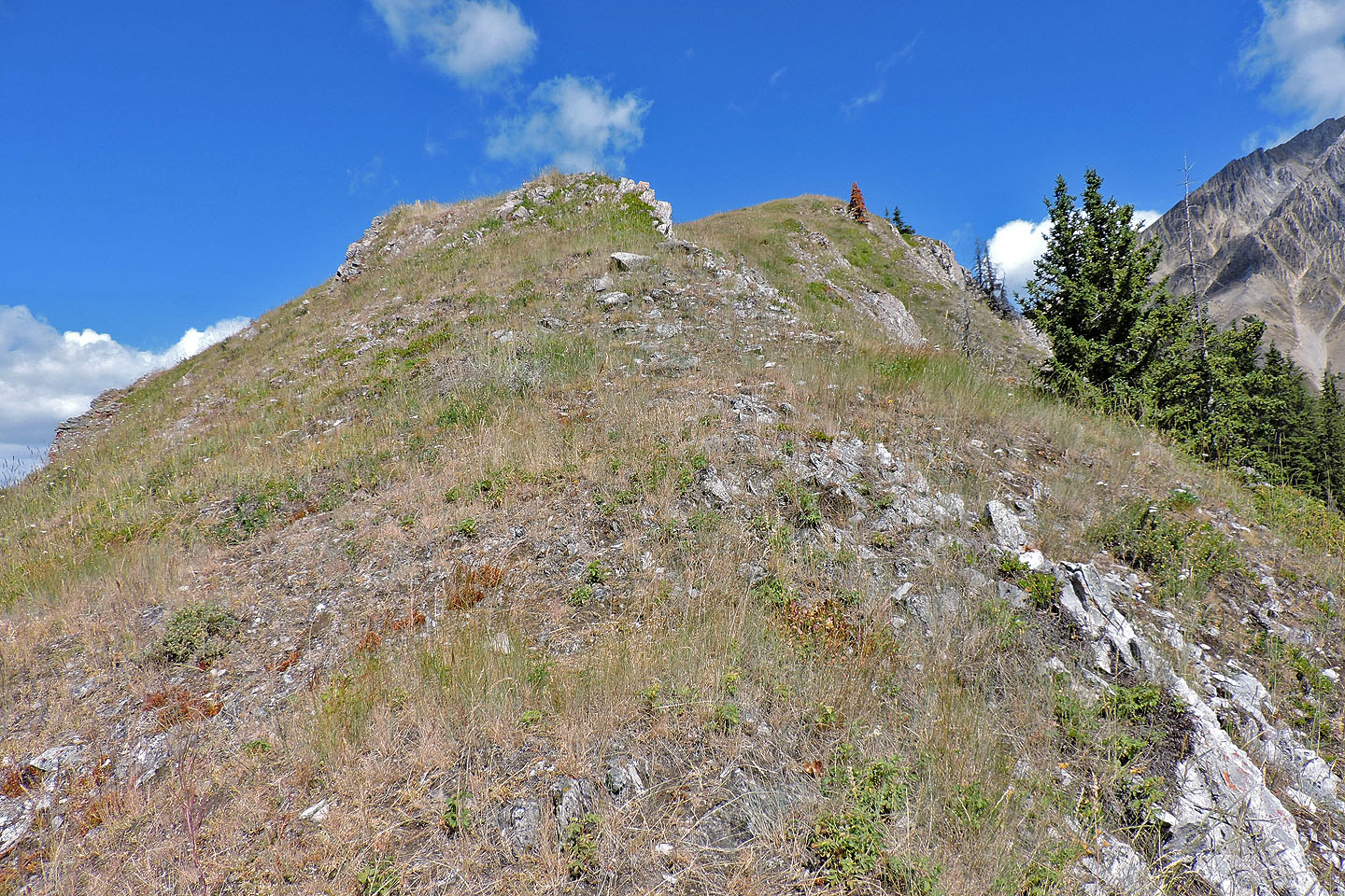
After reaching the south ridge, the summit was a short distance away
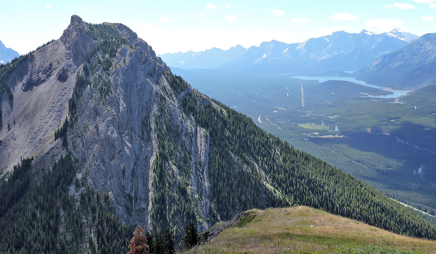
Mount Packenham and Mount Hood
Almost at the summit
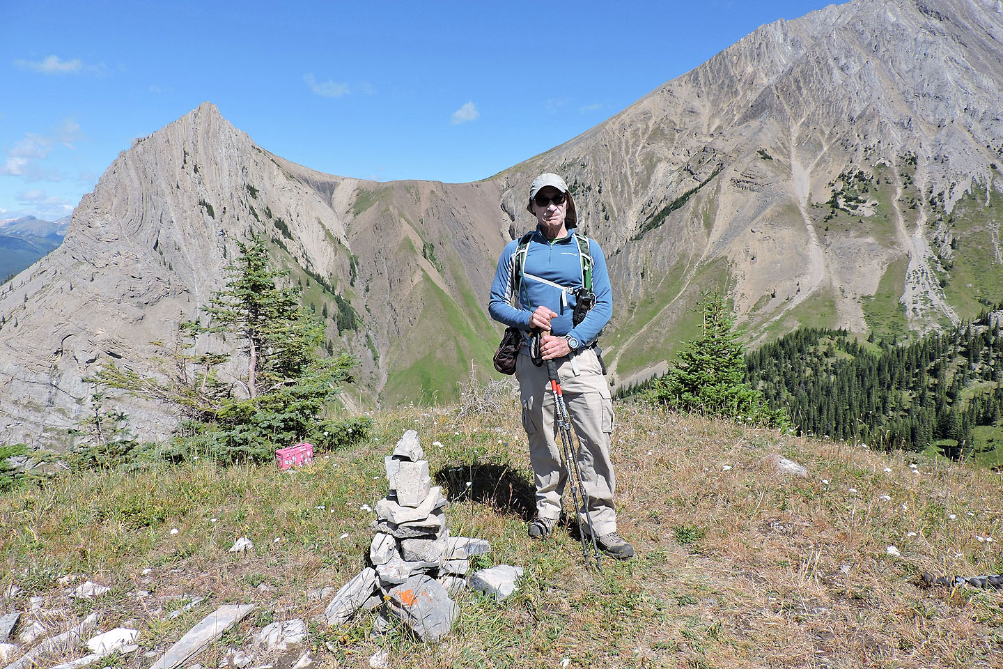
Standing by the cairn. Behind me is a pink summit register.
King Creek Ridge has people on the summit (mouse over)
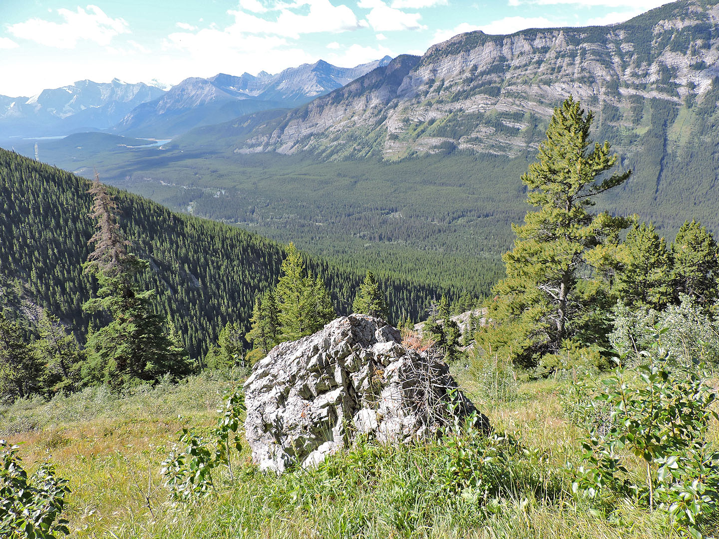
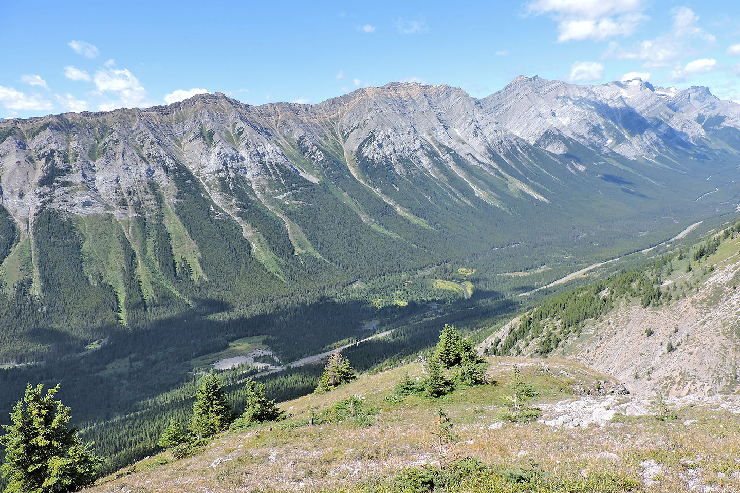
The trail up Grizzly Peak can be seen
The northwest ridge begins gentle but soon steepens
Below the steep section there's a gentle slope with meadows which I used on my descent
Back at the landmark boulder
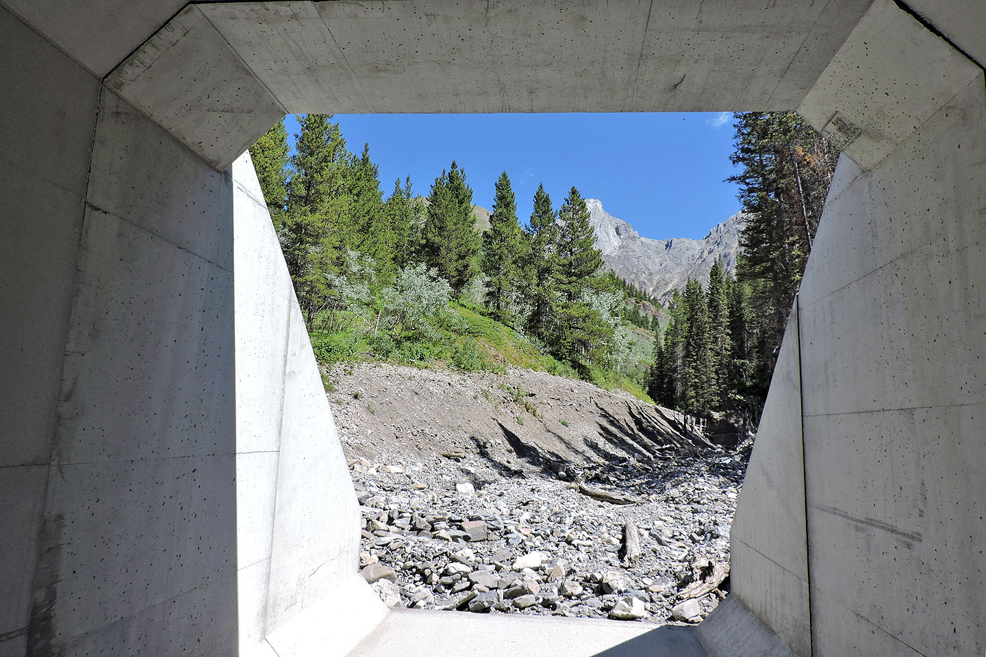
Rather than trying to cross the busy highway, I used the huge culvert to walk under it
82 J/14 Sprays Lakes Reservoir, 82 J/11 Kananaskis Lakes