bobspirko.ca | Home | Canada Trips | US Trips | Hiking | Snowshoeing | MAP | About
Buller Creek Peak
Kananaskis, Alberta
June 17, 2018
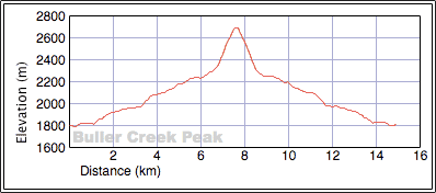
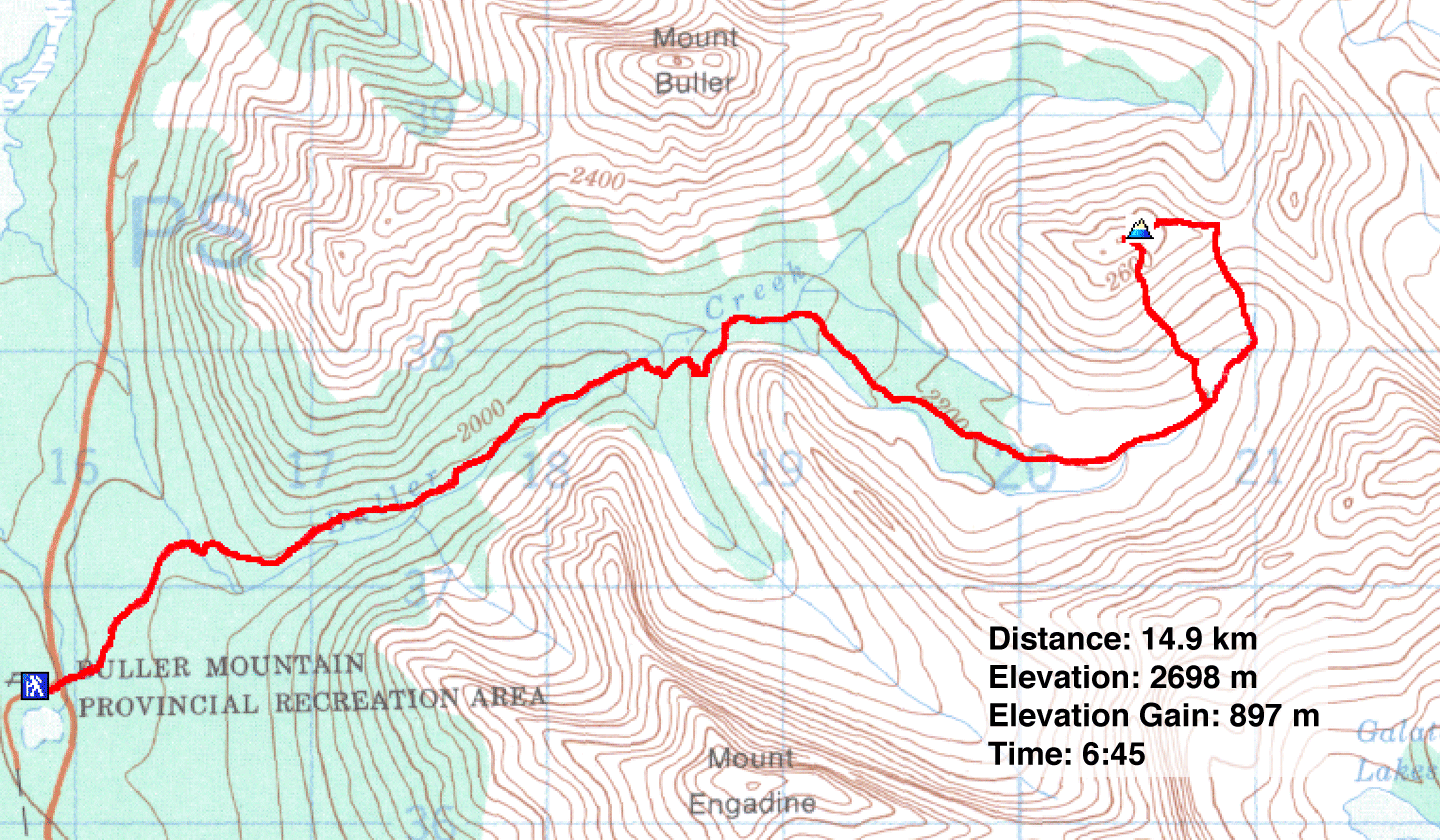
Distance: 14.9 km (9.3 mi)
Cumulative Elevation Gain: 917 m (3009 ft)
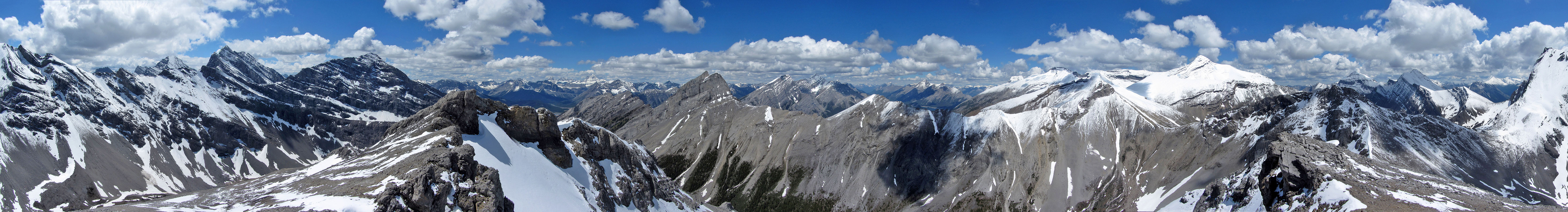
We were doubly blessed when we summited Buller Creek Peak. A recent snowfall threw the mountains into dramatic relief against a blue sky, while close at hand, just a few feet away, a summit marmot kept us company much to our amusement.
Buller Creek Peak takes a no-nonsense approach. From the parking lot, we followed a popular trail to Buller Pass. After crossing the fourth bridge, we took the right fork (the left goes to North Buller Pass). After reaching the cirque before the pass, the trail runs below the southeast slopes of Buller Creek Peak. Before the trail turns right and drops, we exited and started up the scree slope. In More Scrambles, Andrew Nugara suggests going to the col, but just about any line up the broad slope will work. I angled toward the col and popped up on the ridge just above it, while Zora and Dinah plodded straight up.
After meeting on the crest, we set off for the summit, or rather summits. Buller Creek Peak has two summits just 75 m apart. We had lunch on the east summit before moving to the west summit. There we were in for a surprise.
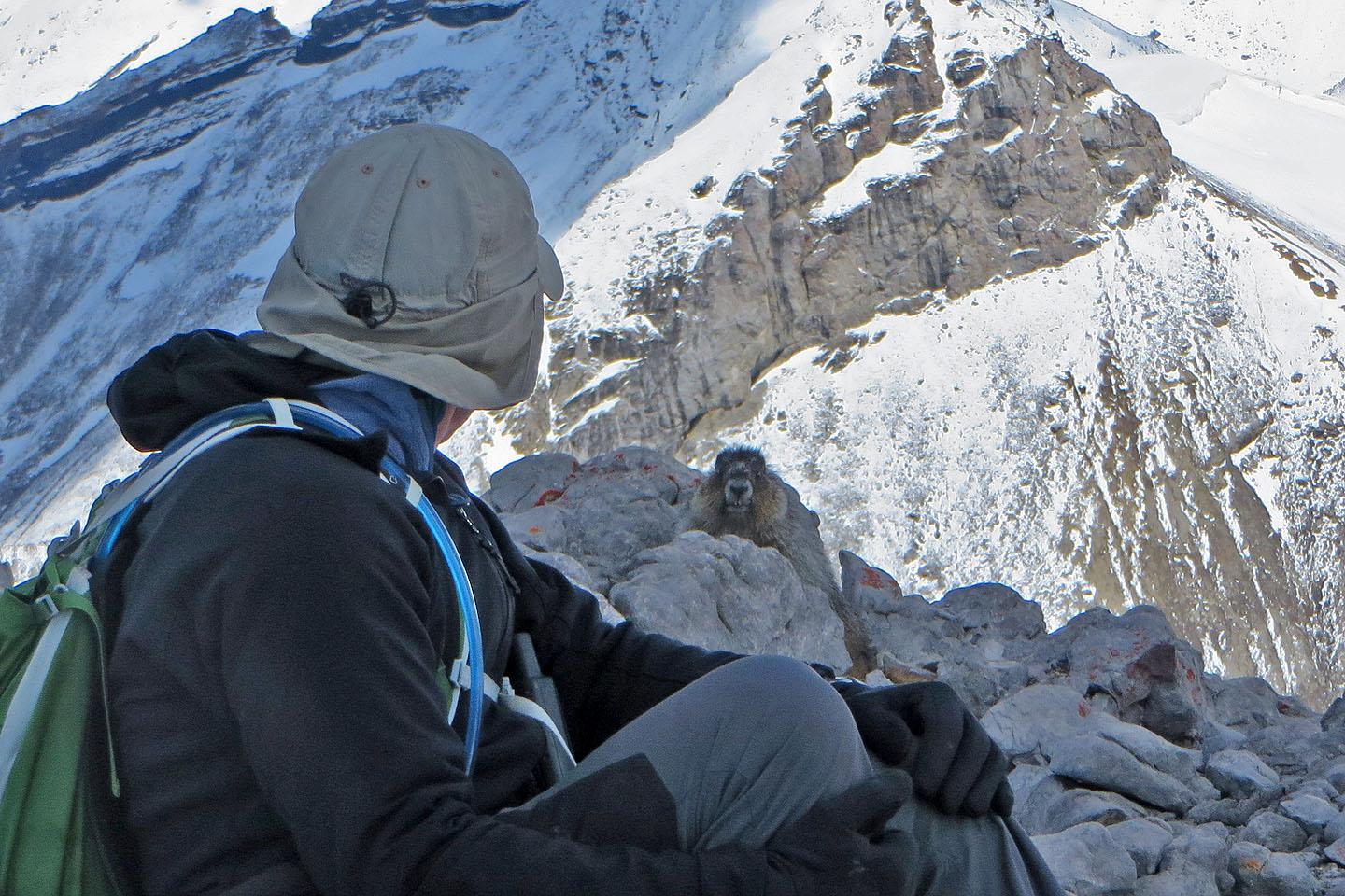
I was scrambling up a chimney when a marmot appeared above me just five feet away. After I reached the top, it scurried to the other side of the small but flat summit. And it stayed there, a few feet away, while we relaxed, talked and laughed. I was surprised at how at ease the little animal appeared; I doubt if Buller Creek Peak sees many hikers – neither summit has a cairn. It behaved as if we weren't there, chewing on something, scratching like a dog with his hind leg, even turning his back to us to stare at whatever marmots stared at.
After a half-hour stay on the west summit, and after taking a group photo that included the marmot, we dropped down the scree slope back to the trail. No doubt the furry little creature was happy to have the summit to himself.
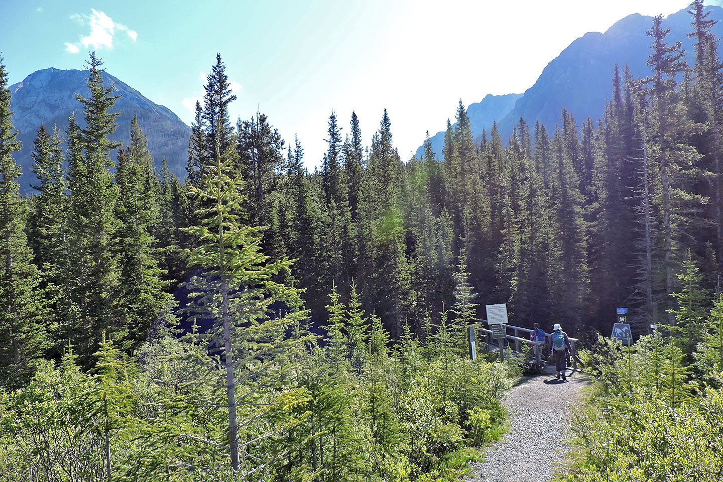
Starting on the trail
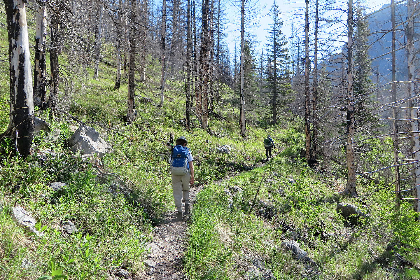
The trail passes through burn areas
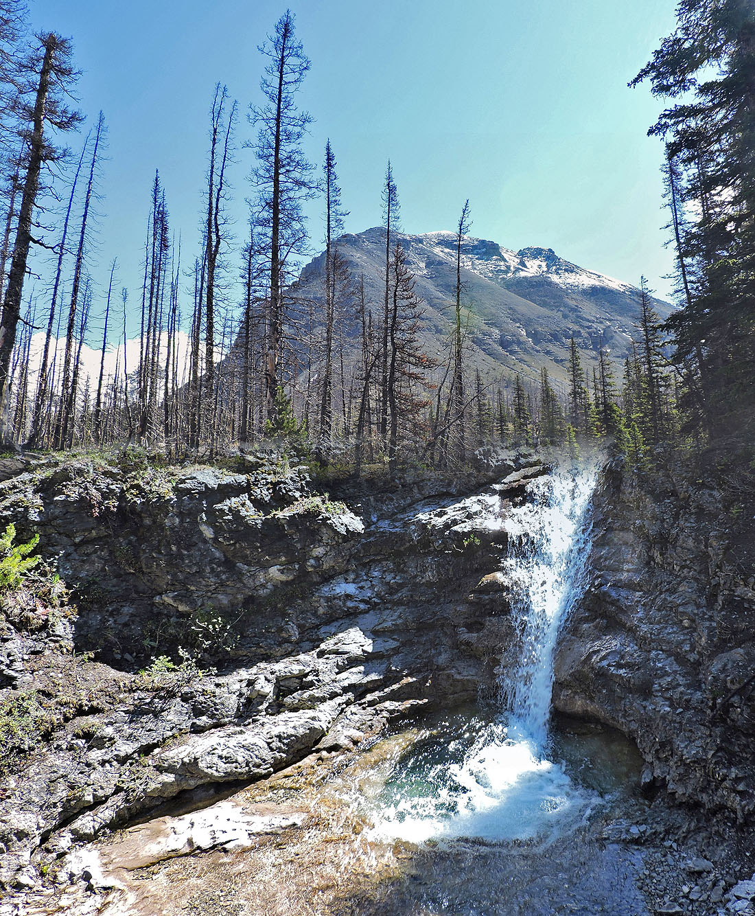
Buller Creek Peak appears above a small waterfall
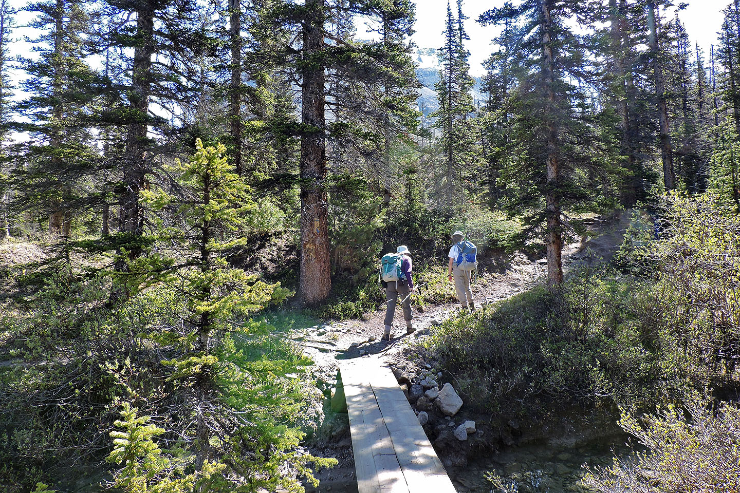
After the fourth bridge crossing, we took the right fork to Buller Pass
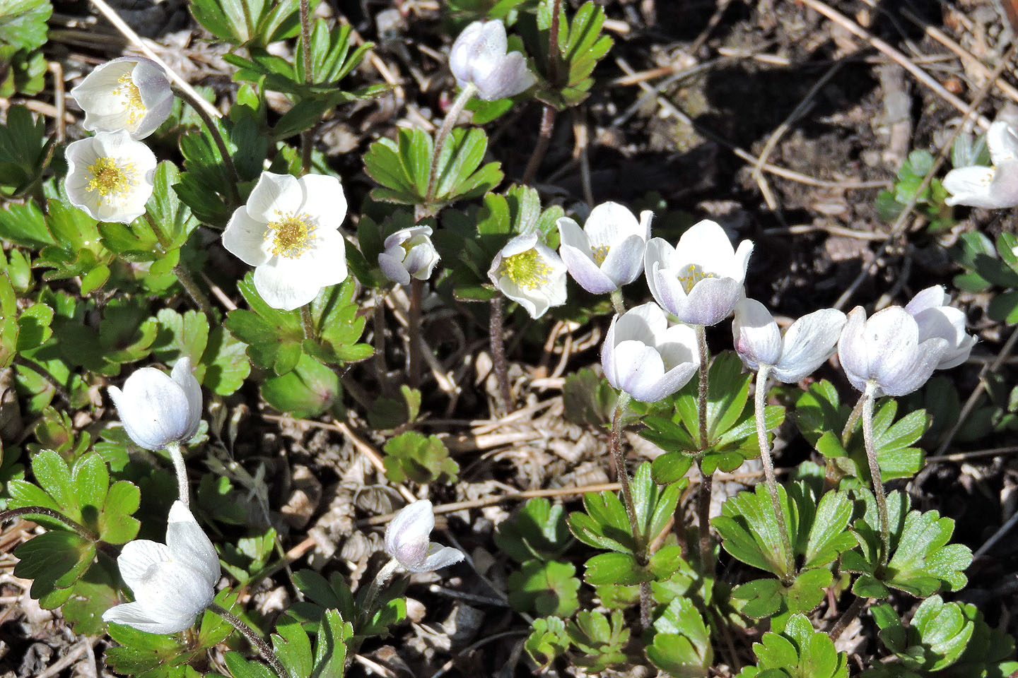
Few-flowered anemone
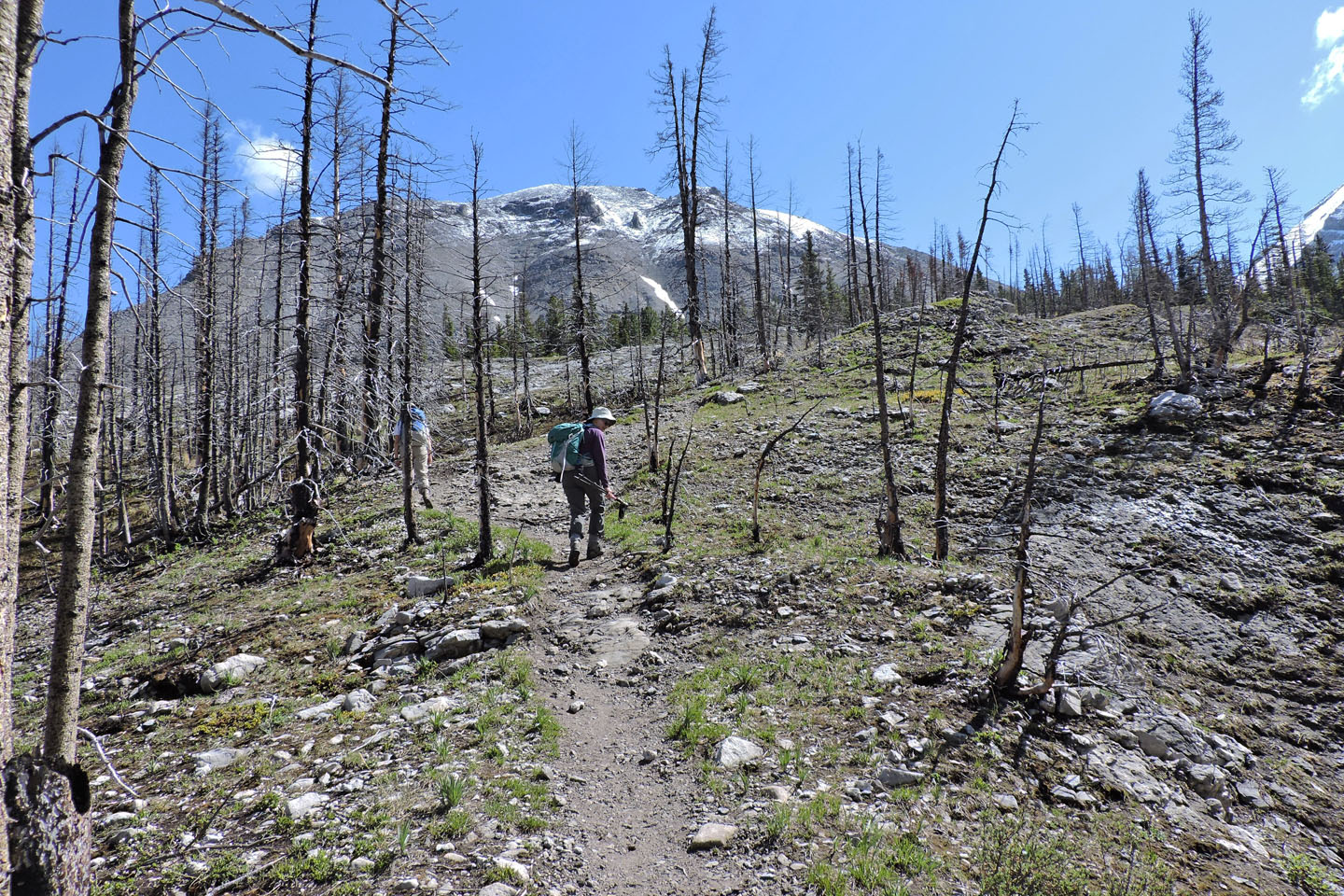
We passed through another, starker burn area
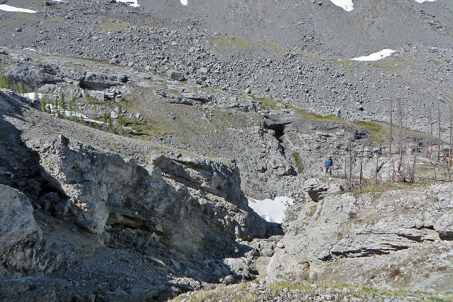
Looking back at a ravine that the creek runs through
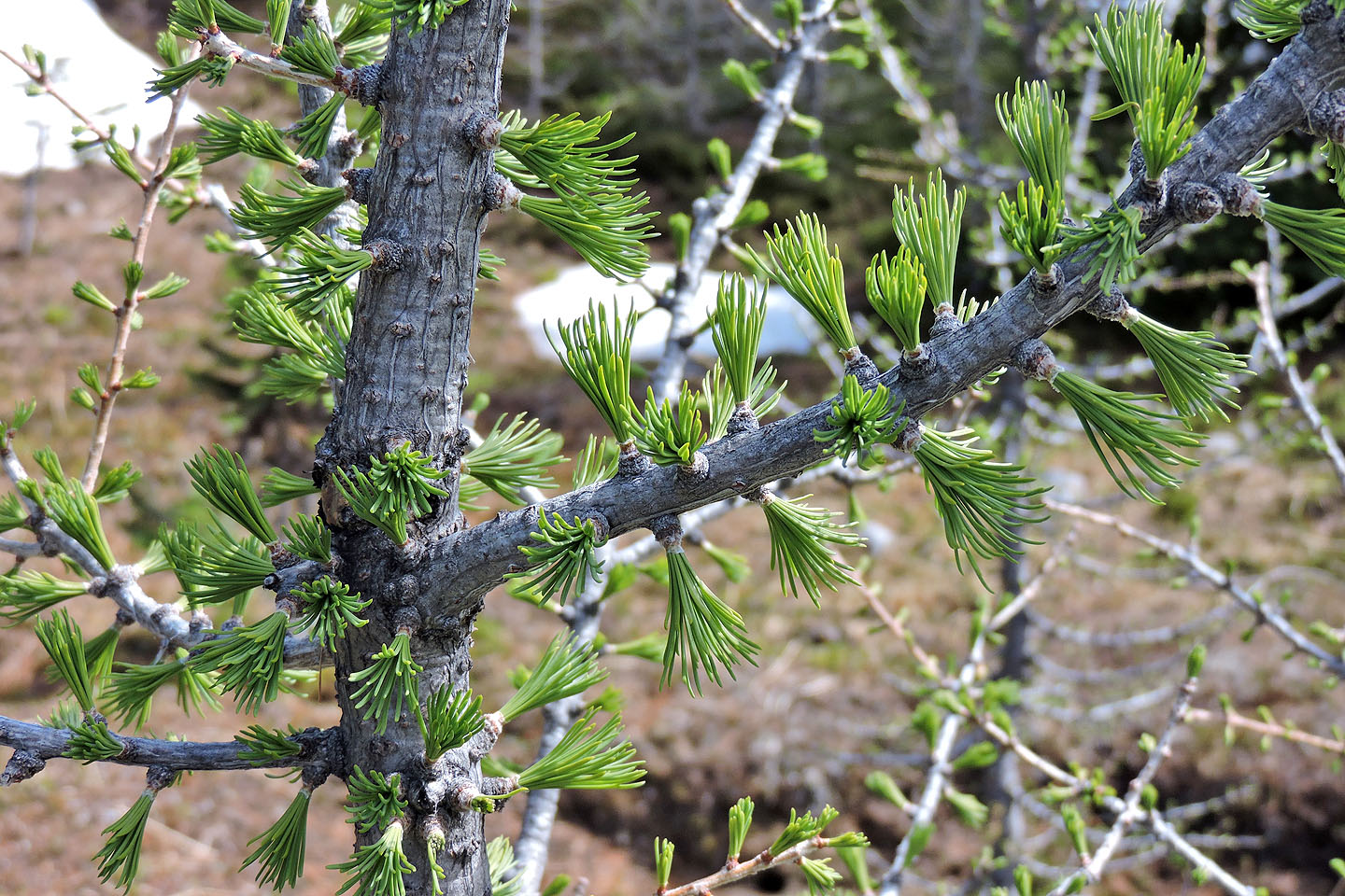
Larches were sprouting seasonal needles
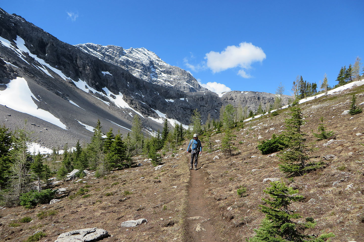
Behind is Mount Engadine
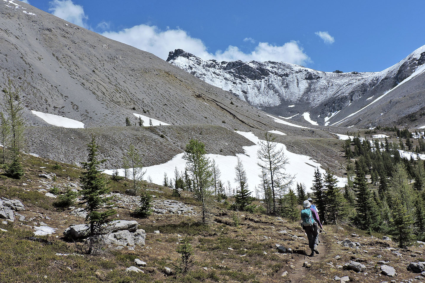
We reached the alpine valley
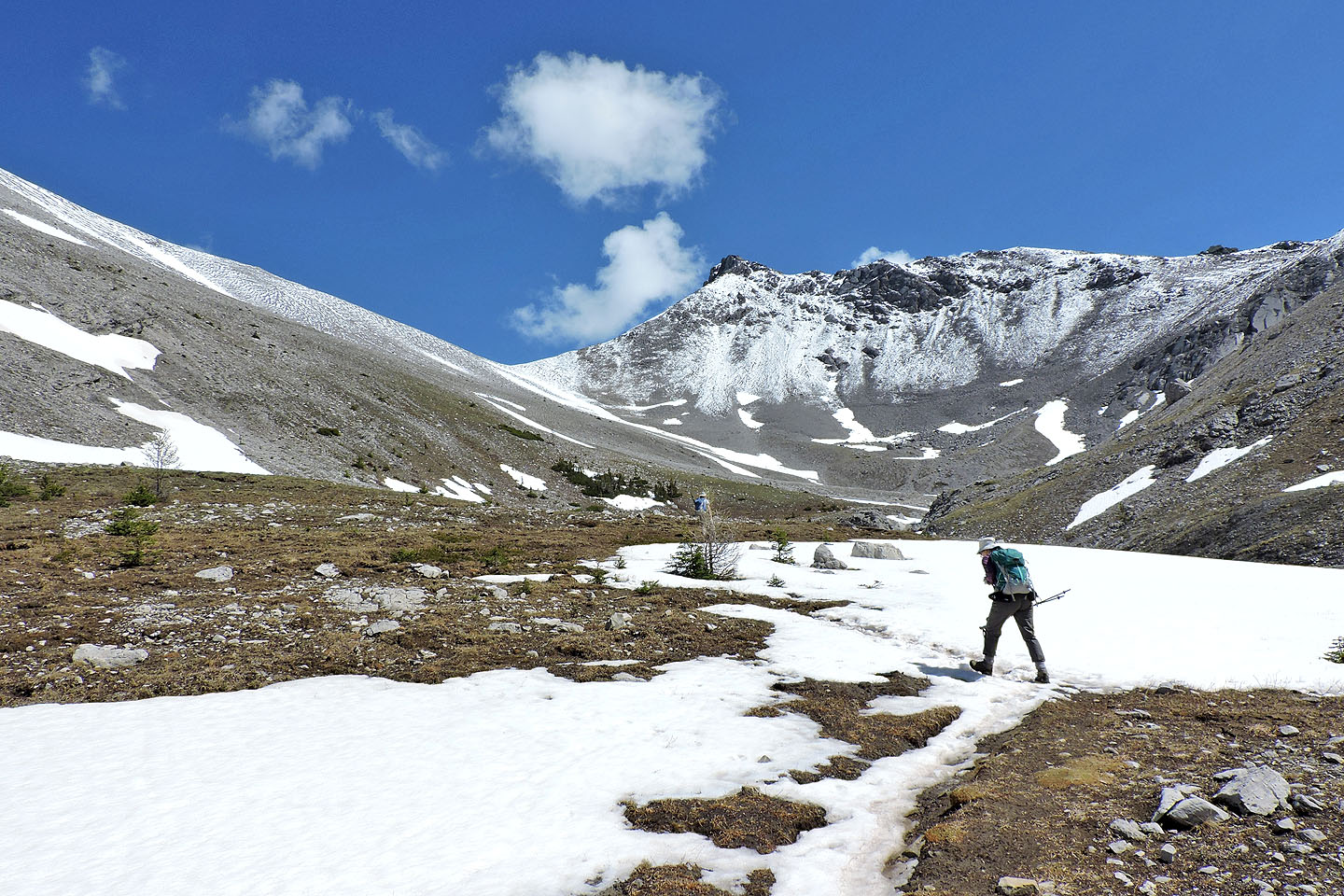
The col came into view
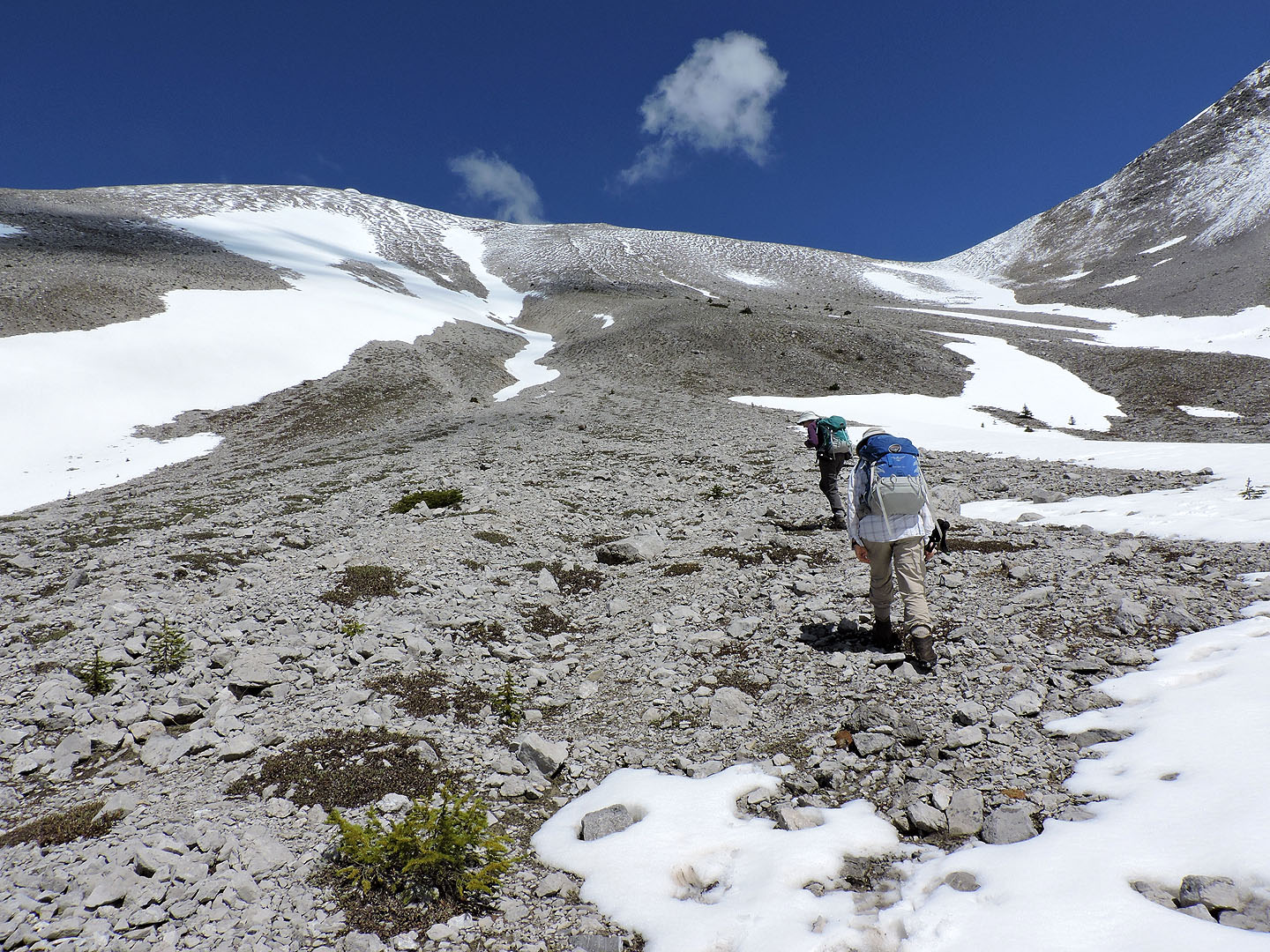
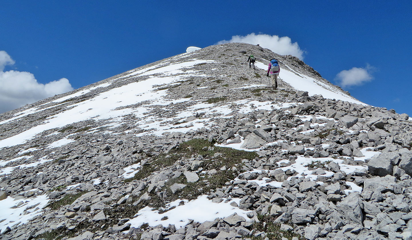
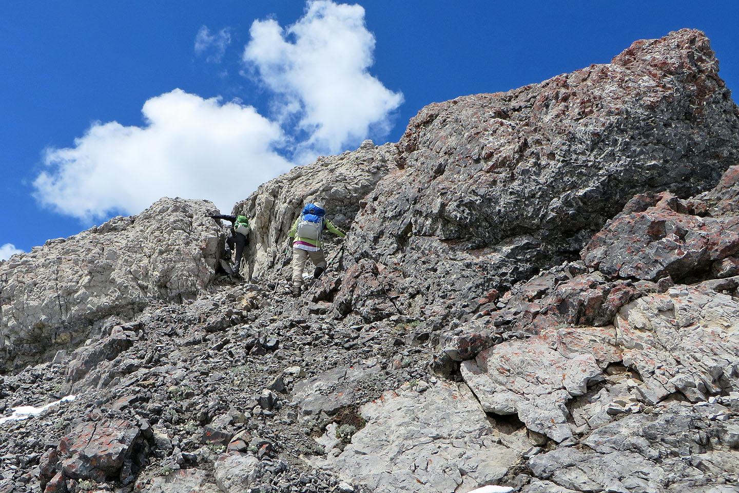
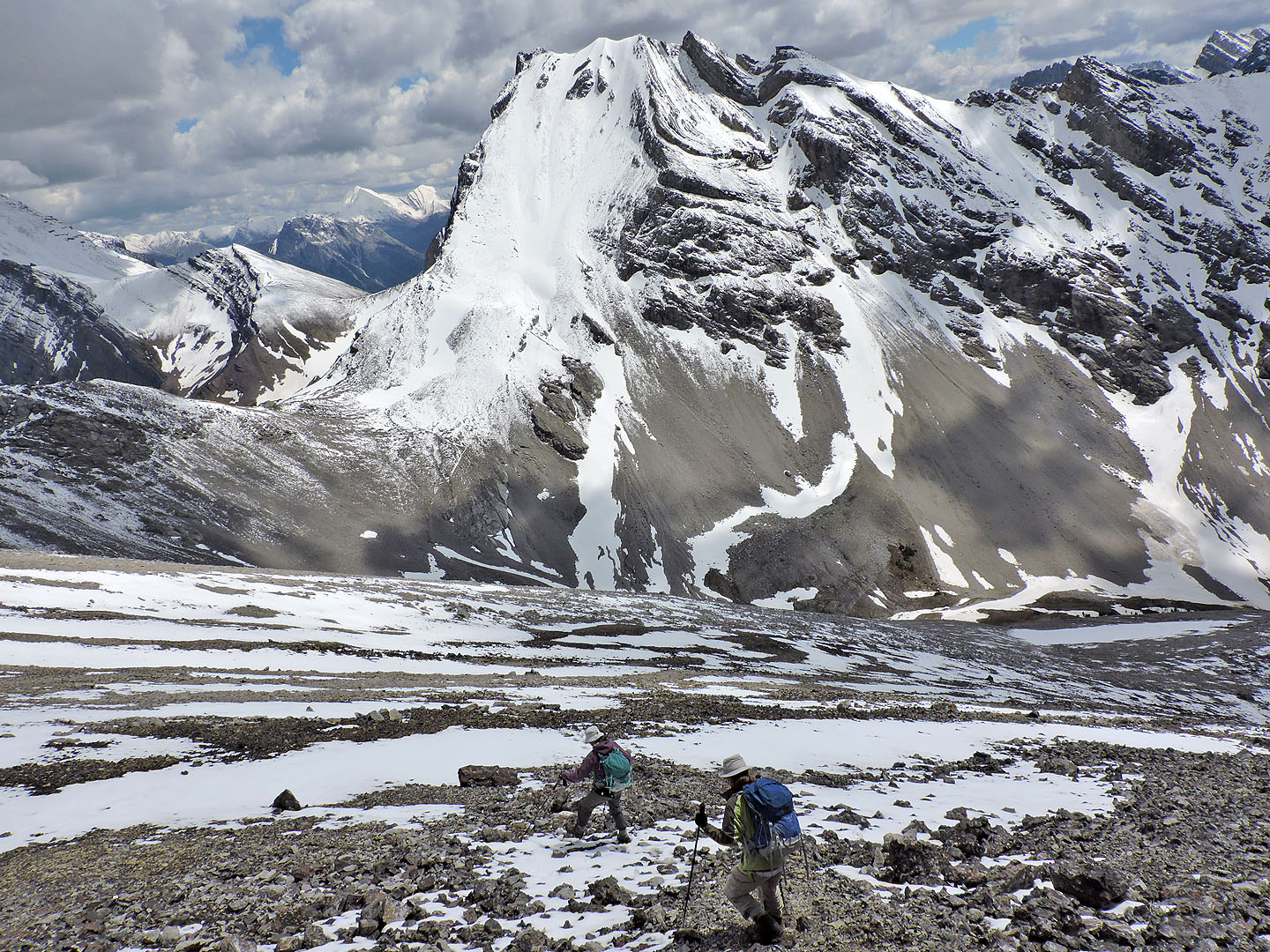
We left the trail and headed up the slope
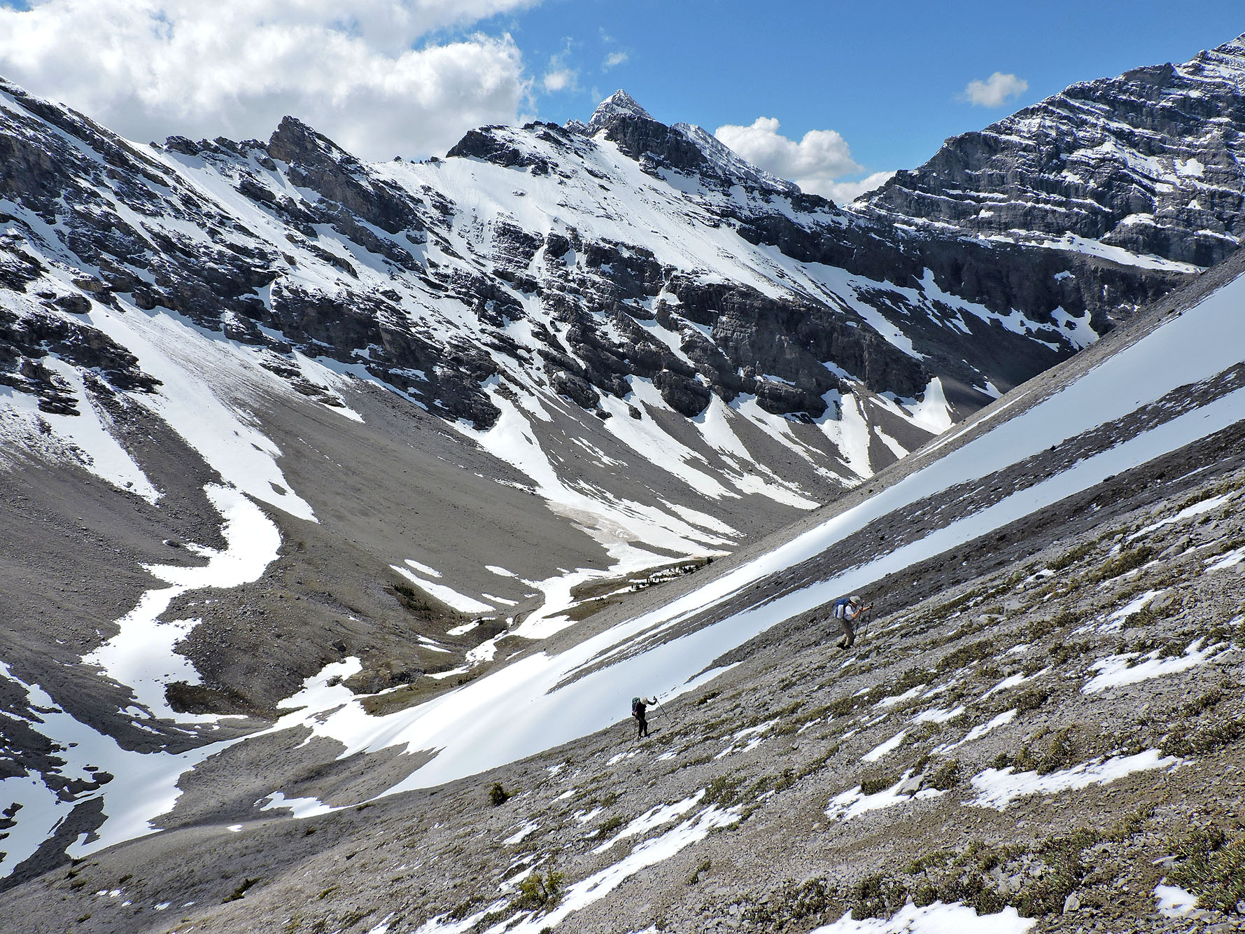
I angled right to reach the ridge sooner while Dinah and Zora plodded straight up
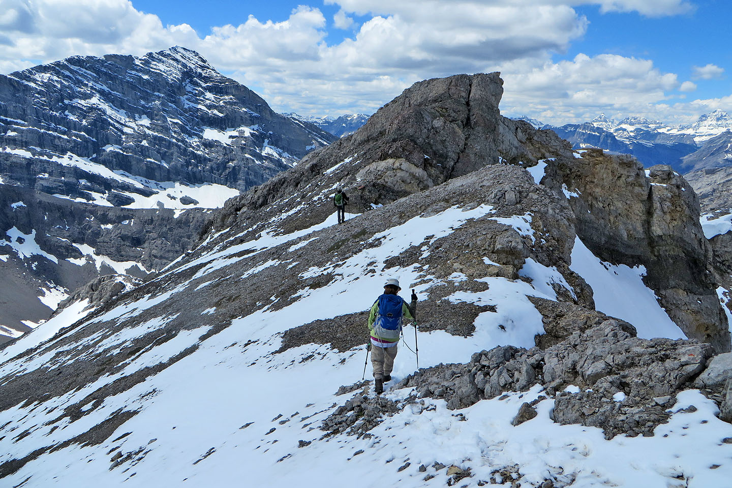
Zora and Dinah will soon join me on the ridge. Buller Pass is left.
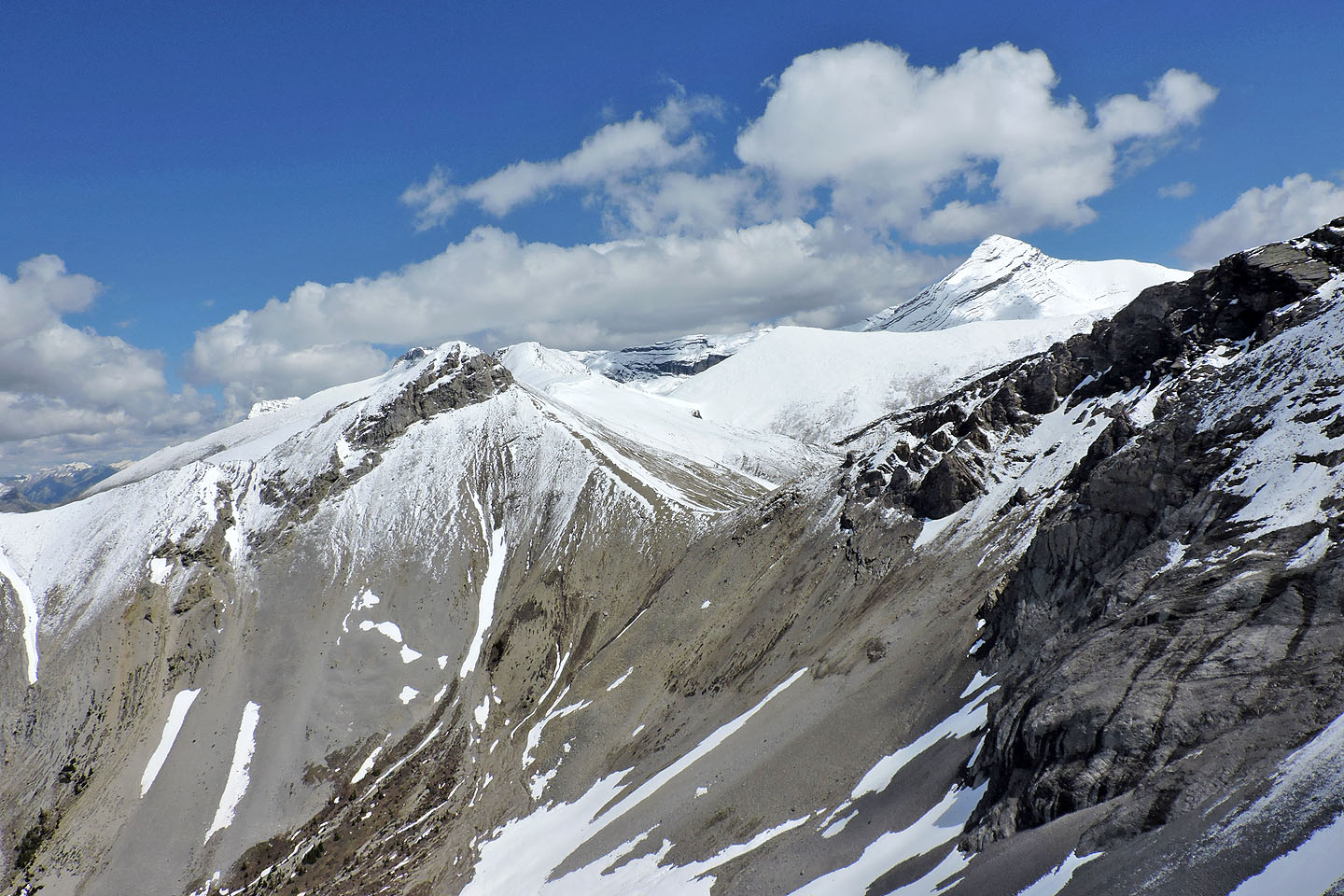
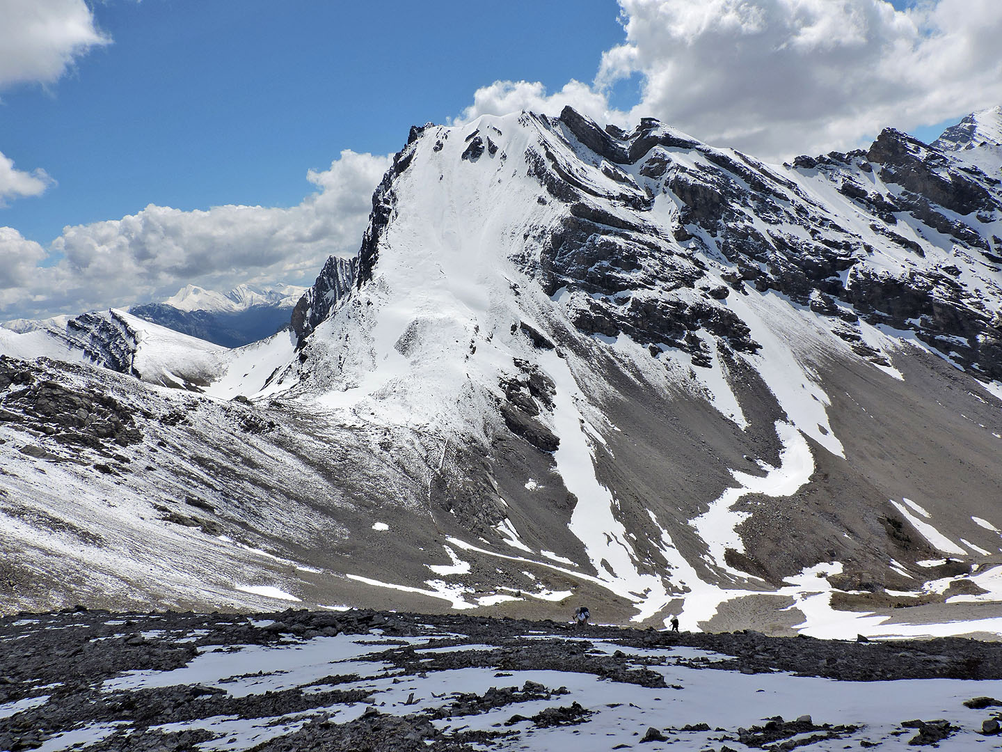
Red Peak, North Buller Pass and Mount Bogart
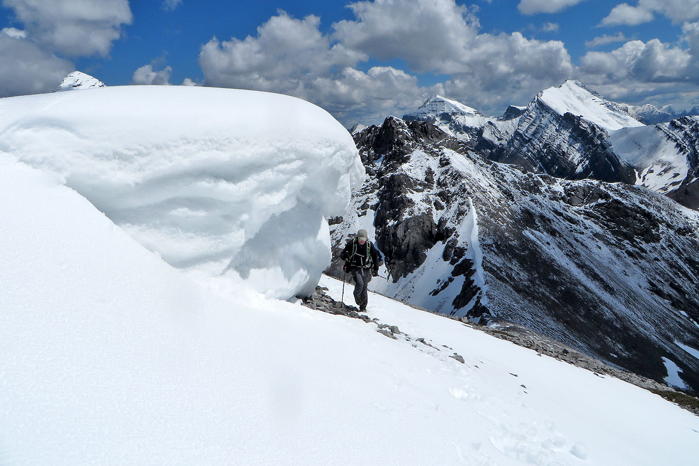
A cornice near the summit attracted our attention
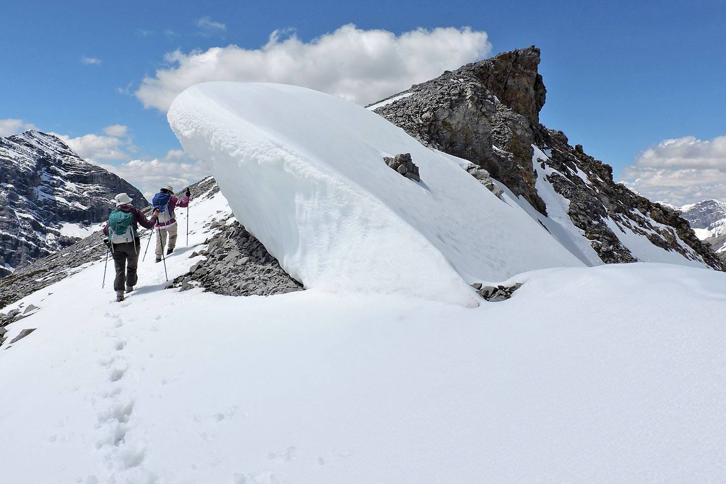
The cornice was a short distance from the east summit
Mount Kidd and Mount Kidd South in the background
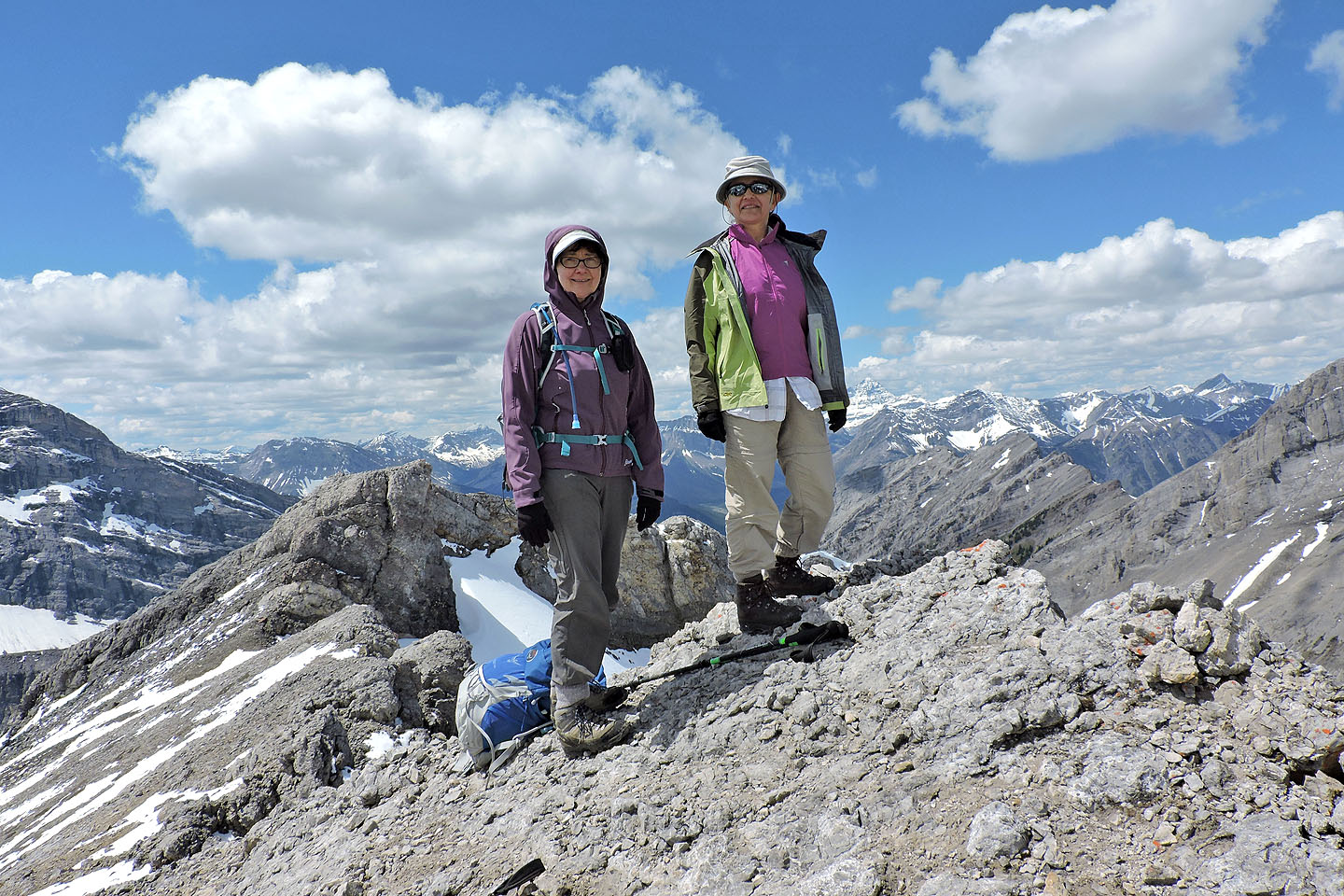
Dinah and Zora on the east summit. The west summit (behind) is just 75 m away.
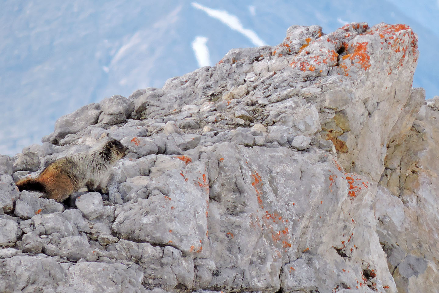
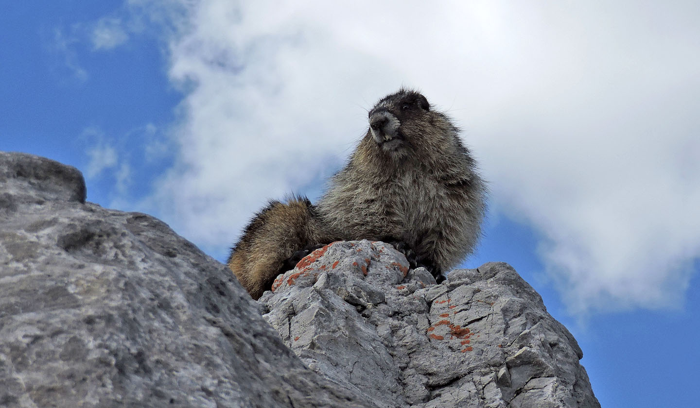
A marmot occupied the west summit
Heading to the west summit
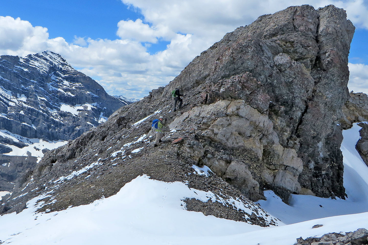
We headed to a chimney on our left
Scrambling up a short chimney
At the top of the chimney, the marmot greeted me
It stayed a few feet away from us for our entire stay on the summit
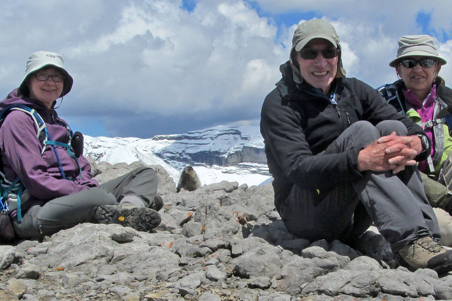
Dinah, marmot, me and Zora on the summit
The marmot acted as if we weren't a few feet away
Descending the scree slope back to the trail
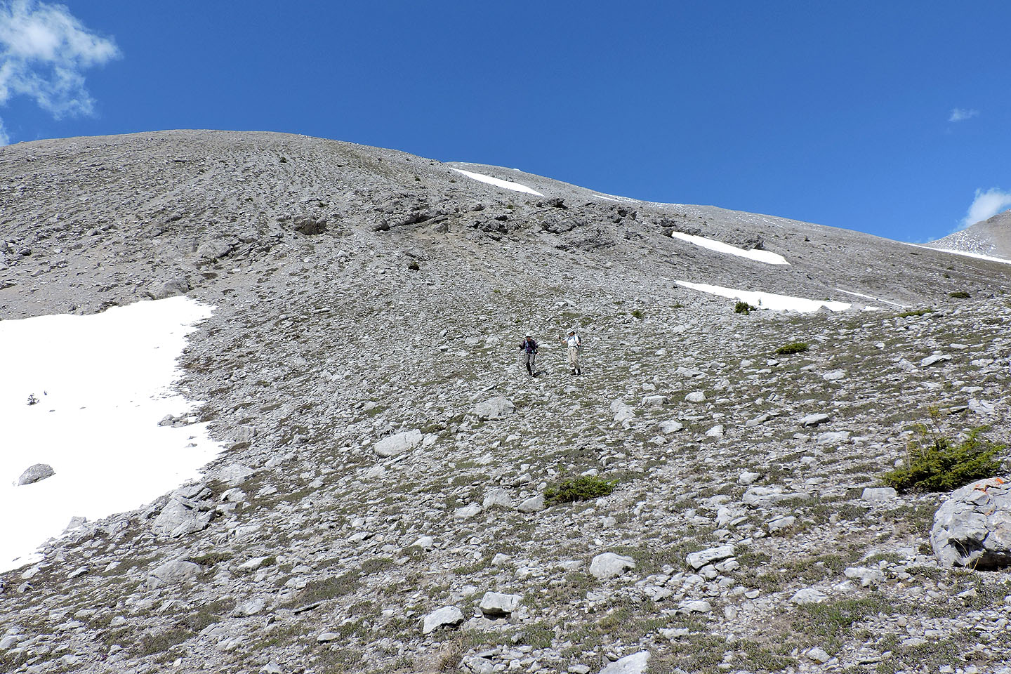
On our descent we took a more direct route back to the trail
82 J/14 Spray Lakes Reservoir