bobspirko.ca | Home | Canada Trips | US Trips | Hiking | Snowshoeing | MAP | About
Odlum Knoll
Kananaskis, Alberta
September 24, 2022
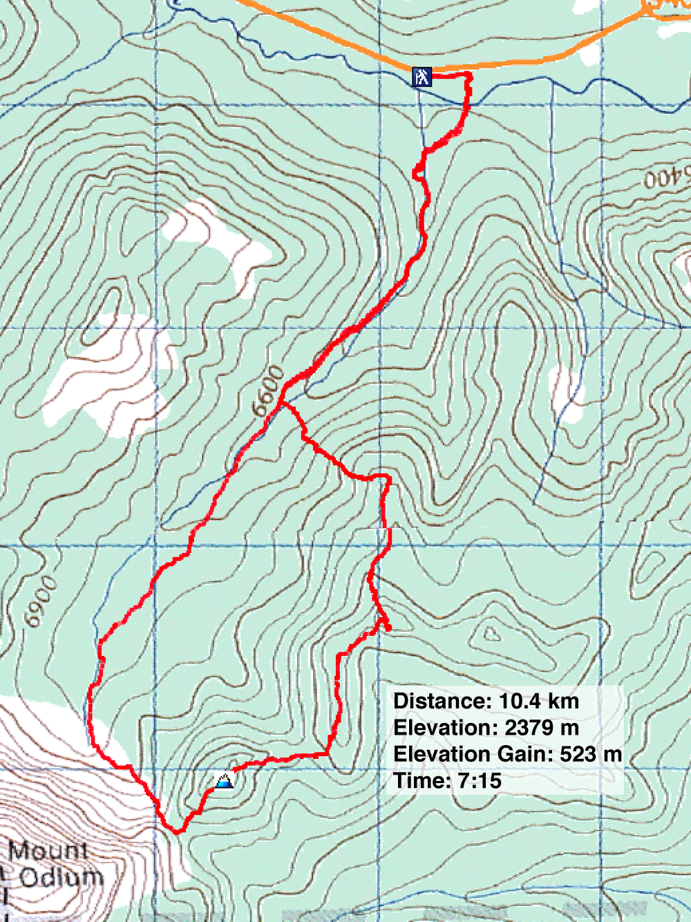
Distance: 10.4 km (6.5 mi)
Cumulative Elevation Gain: 640 m (2100 ft)
For a larch hike, the long traverse of Odlum Ridge described in Kananaskis Country Trail Guide is appealing. But I didn't want to ascend the summit again and wanted a shorter trip. So I looked at the last section of the traverse which runs from Odlum Col to a trail in the valley north. I could hike partway up the valley trail, ascend a ridge and follow it to Odlum Col before returning on the trail. Just before the col, there is a distinct little high point. It seemed appropriate to call it Odlum Knoll.
I had a bad feeling about the valley trail, so before the trip, I drove to 481984 where the guidebook said the trail begins. Here even sedans can park on the flat, grassy roadside between guardrails, but there was no sign of a trail. So I bushwhacked hundreds of metres until I found the trail and followed it back to the highway. The trail begins 200 m east of the parking spot. I added flagging although the trailhead is still hard to spot since it's at the bottom of a highway embankment. A few weeks later, I returned with Sonny and Zosia who invited their friends Aga, Kevin, Marta H. and Marta W.
We parked at the same spot, walked to the trailhead and started down the trail. A few minutes later, we crossed Storm Creek and picked up the trail after the gravel flats. We followed the blazed trail easily enough, except when it disappeared in small meadows. After two kilometres, we left the trail. We soon came to a stream and crossed it.
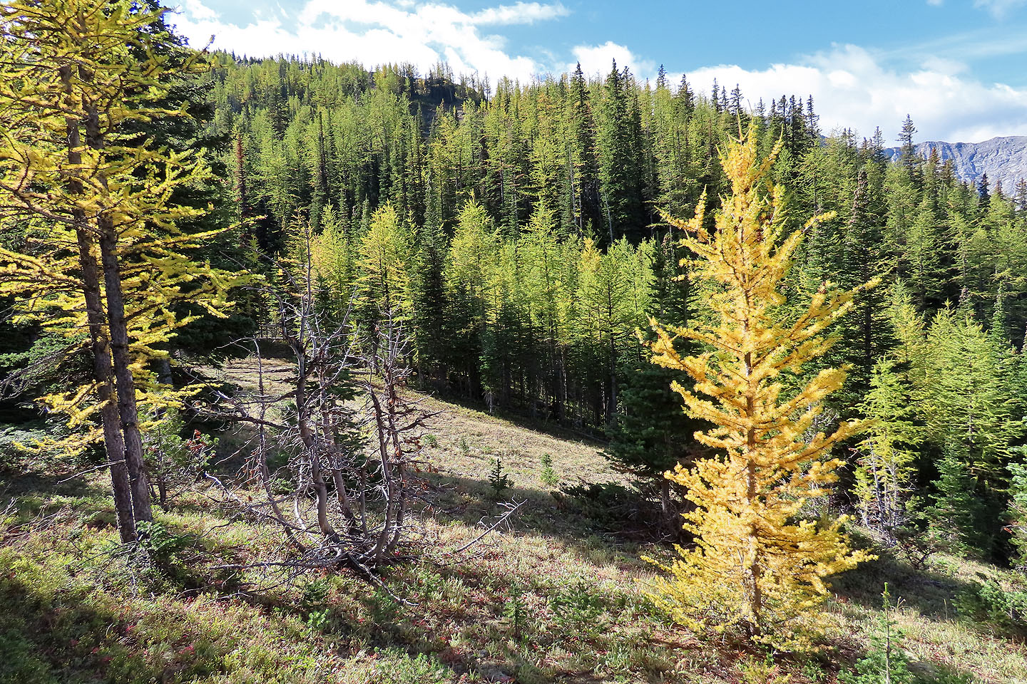
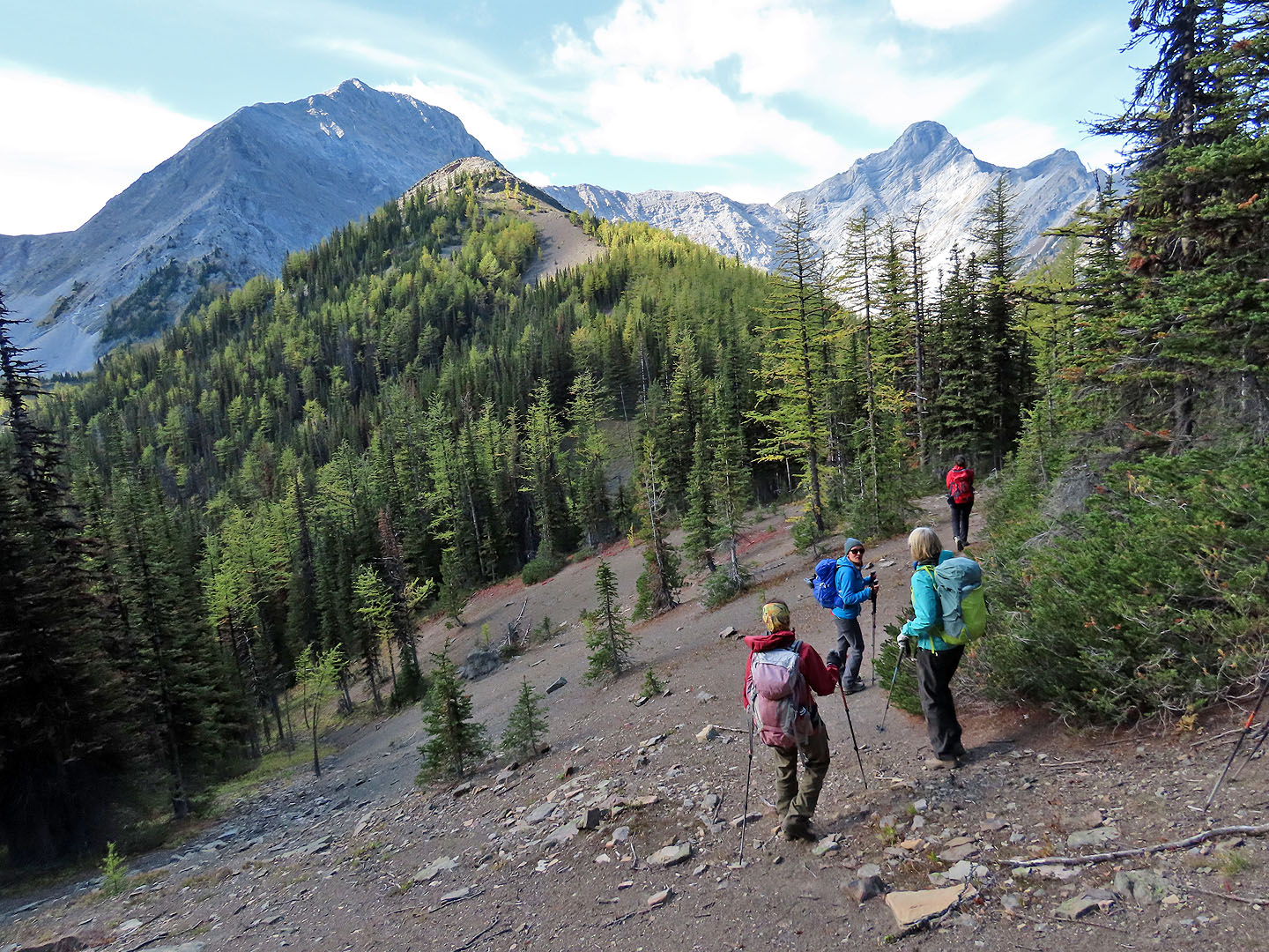
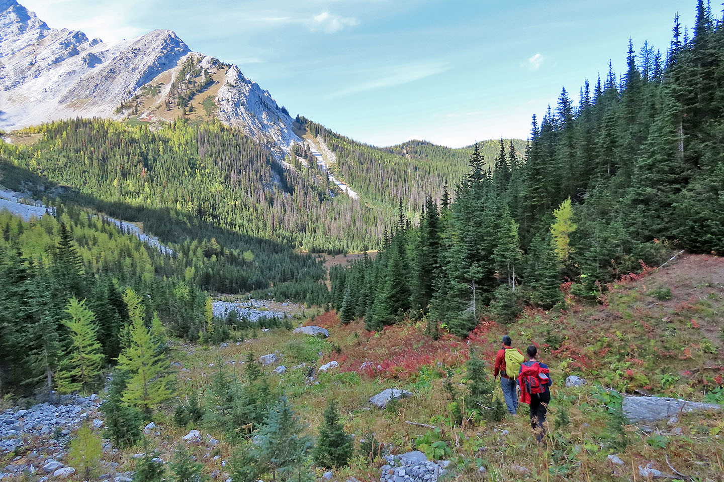
The idea was to climb the north end of the ridge that leads to Odlum Col. It wasn't easy at first. On the lower slope, dense rhododendrons forced us to bypass huge thickets or seek constricted passages. Mercifully it soon ended, and we gratefully stepped onto an open dirt strip that extends to the ridgetop. On the ridge, we welcomed larches turning yellow, although they fell short of hitting their full fall splendour.
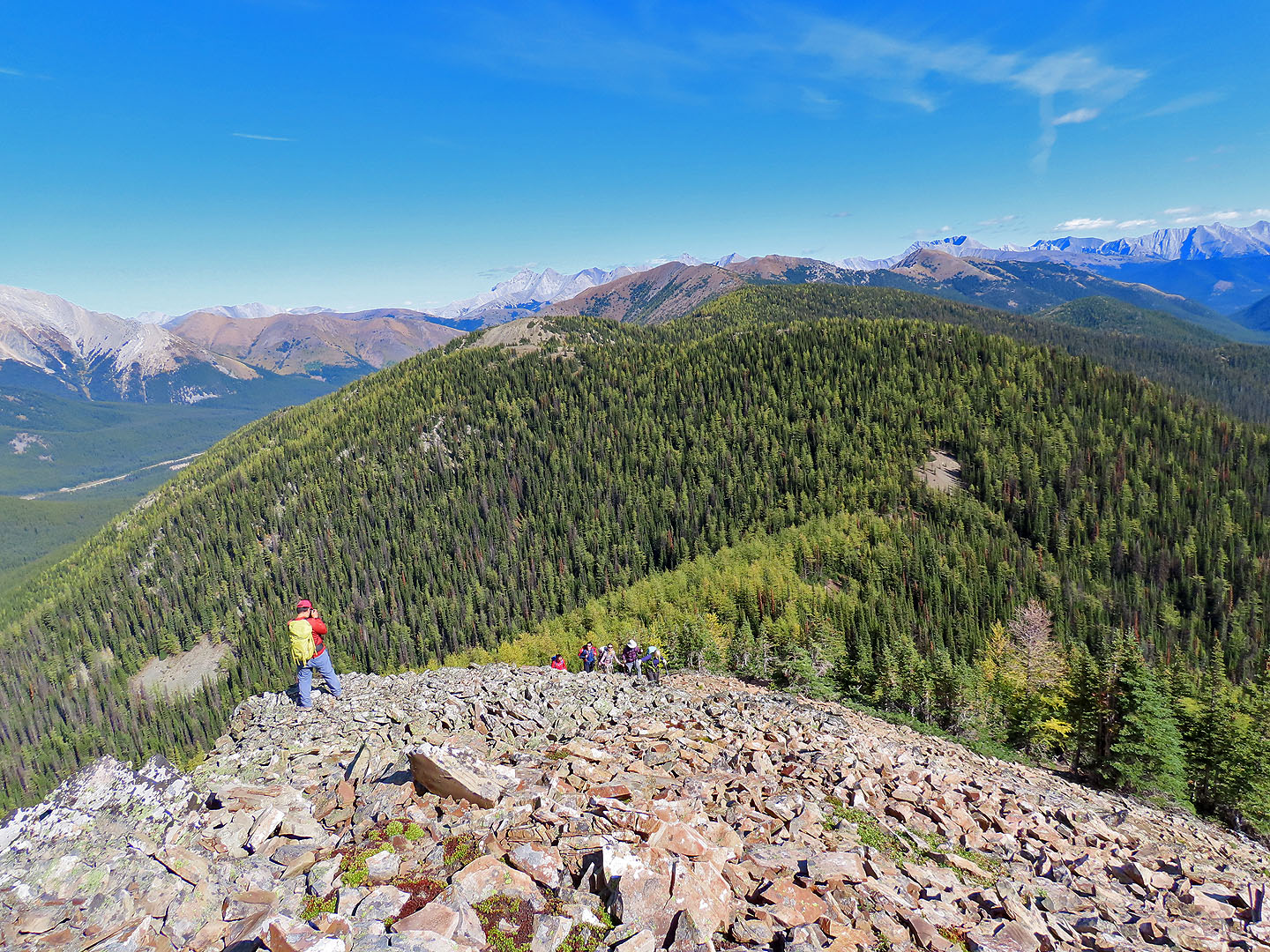
On the first half of the ridge, we cruised through thin trees and clearings, but on the last half, bushwhacking and routefinding prevailed. The only letup was going up Odlum Knoll where trees relaxed their grip on the ridge. When we reached the top, I was surprised to see a couple sitting on the rocks. They had come up the valley trail.
After lounging for an hour, we continued along the ridge through an uncooperative forest to the col. We were glad to find a trail here. We followed it to the valley bottom where it disappeared in a clearing. On the other side of the clearing at the edge of the forest, we picked up a trail, the same one we started on. We followed it back. Occasionally we lost the trail, but no one complained. It was all part of our adventure on Odlum Ridge.
KML and GPX Tracks
Sonny's Trip Report
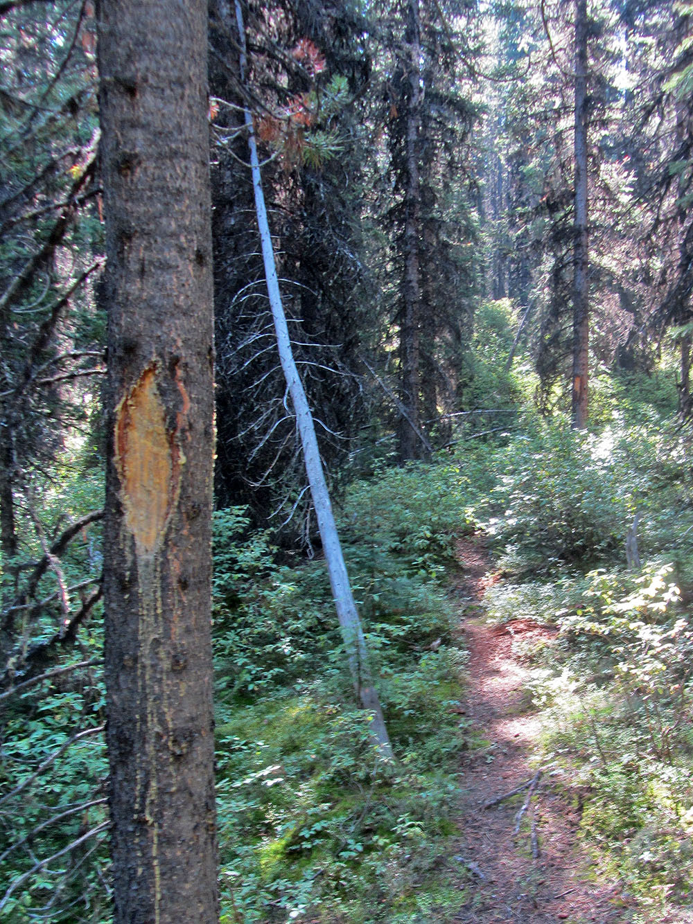
Except for the flagging I added weeks earlier, the trailhead would be difficult to spot
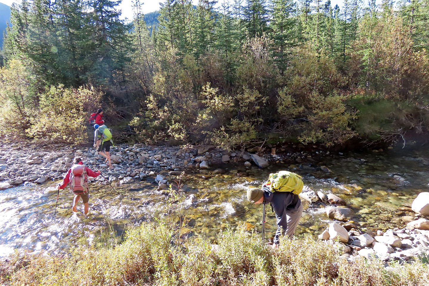
Crossing Storm Creek
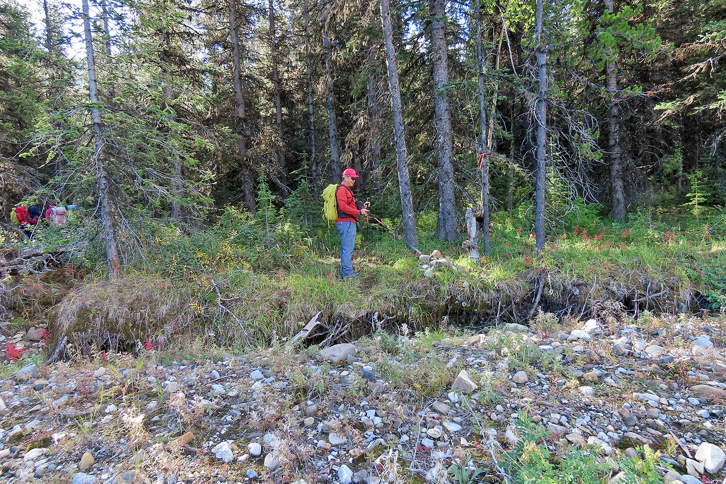
Sonny points to a cairn after the gravel flats where we picked up the trail again
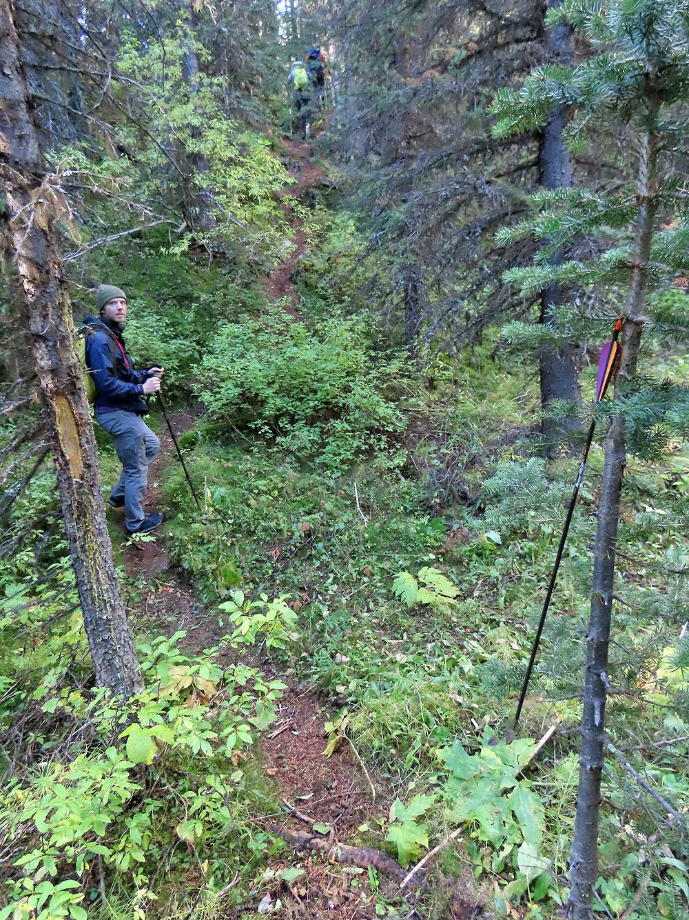
Hunters left an arrow behind
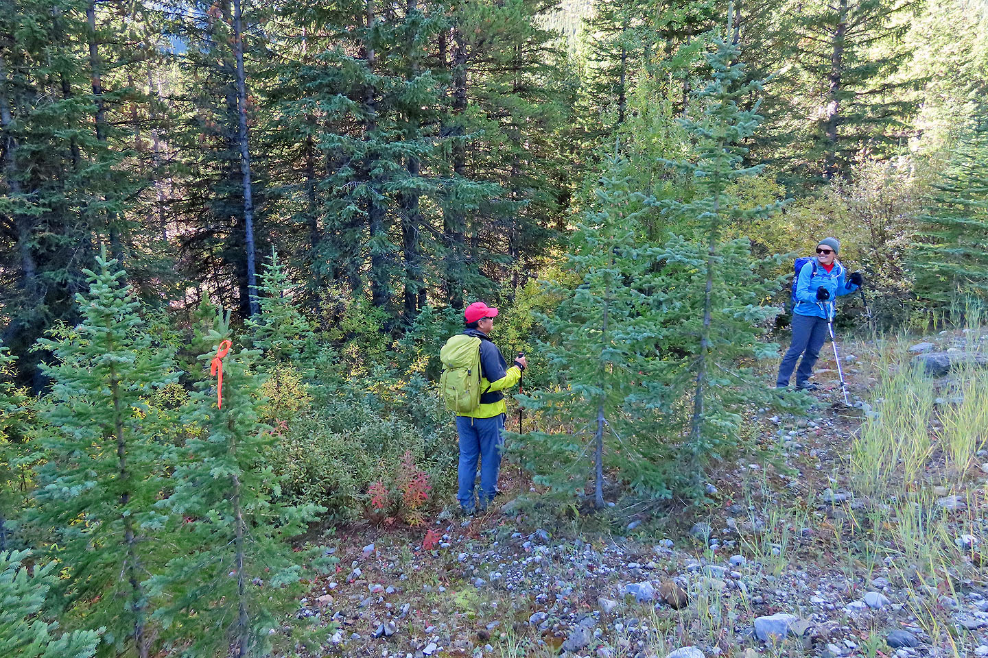
Look for tree blazes to keep on track
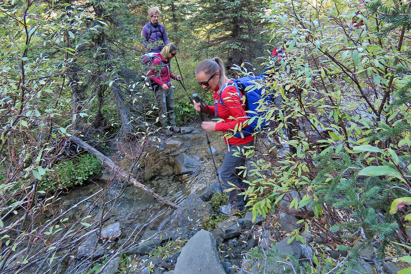
After leaving the trail, we soon crossed a creek
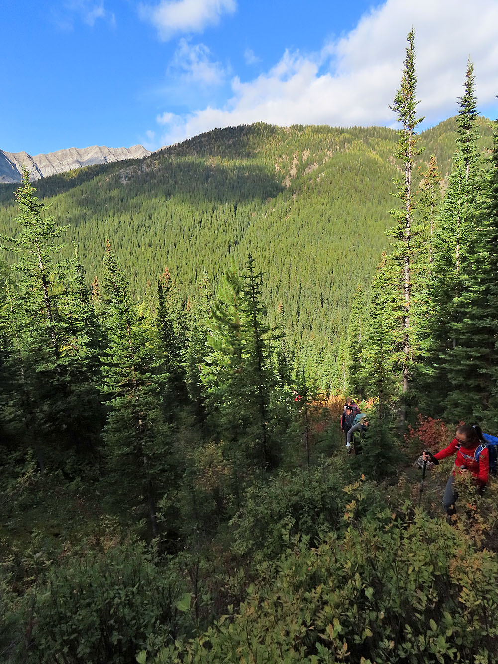
We pushed through bushes on the lower slopes
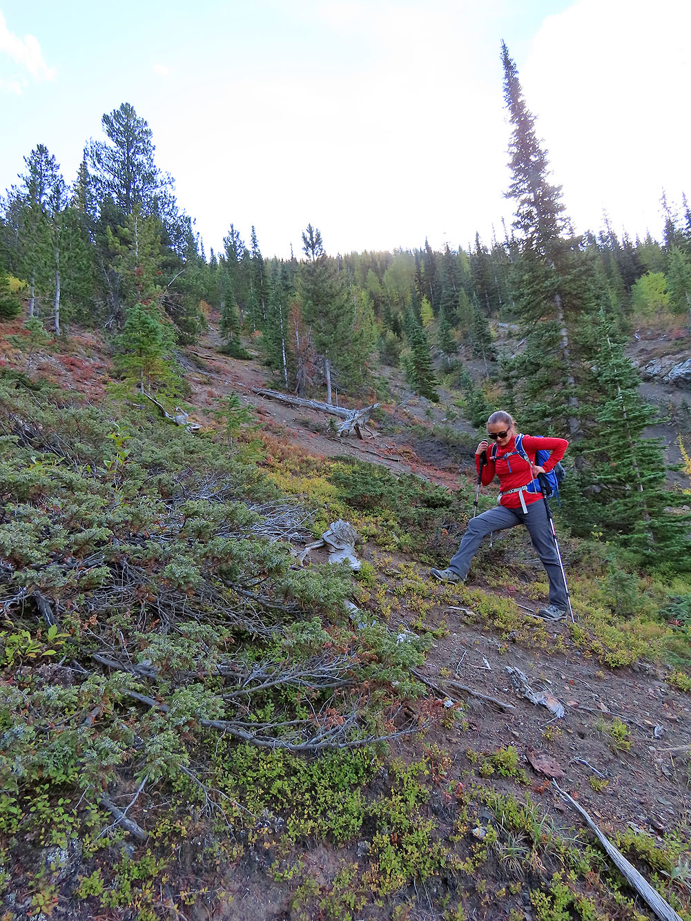
Our bushwhacking ordeal ended when we hit this dirt gully
Looking across the valley at Running Rain Lake South Ridge
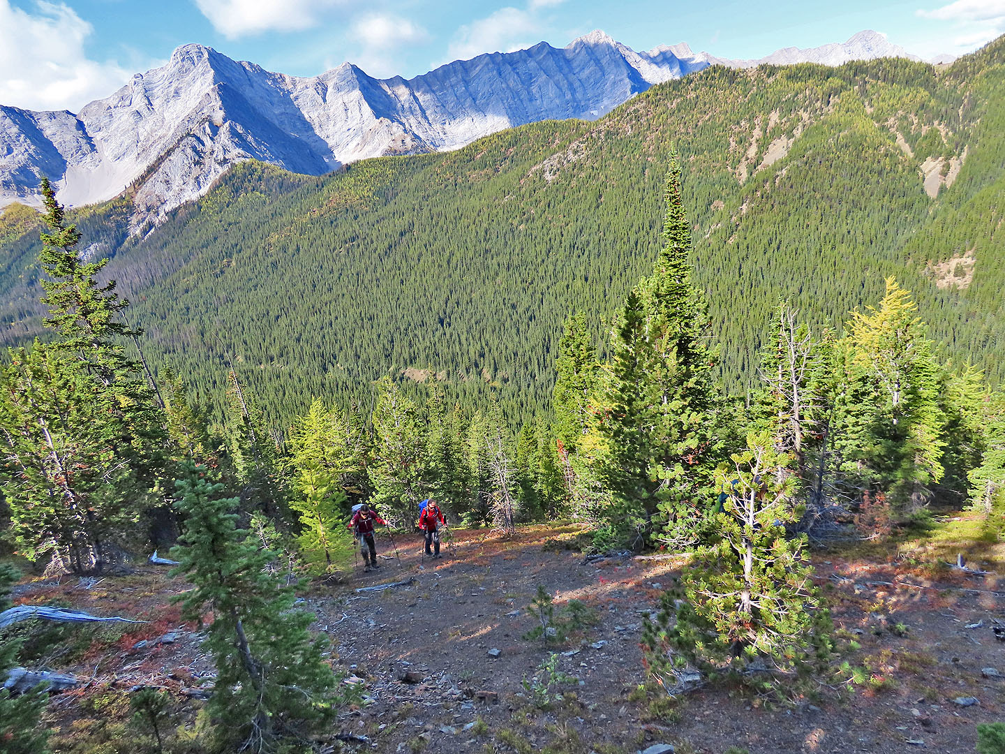
Sonny pauses to take in the larches on the ridge
Behind us are Mist Mountain and Nameless Ridge
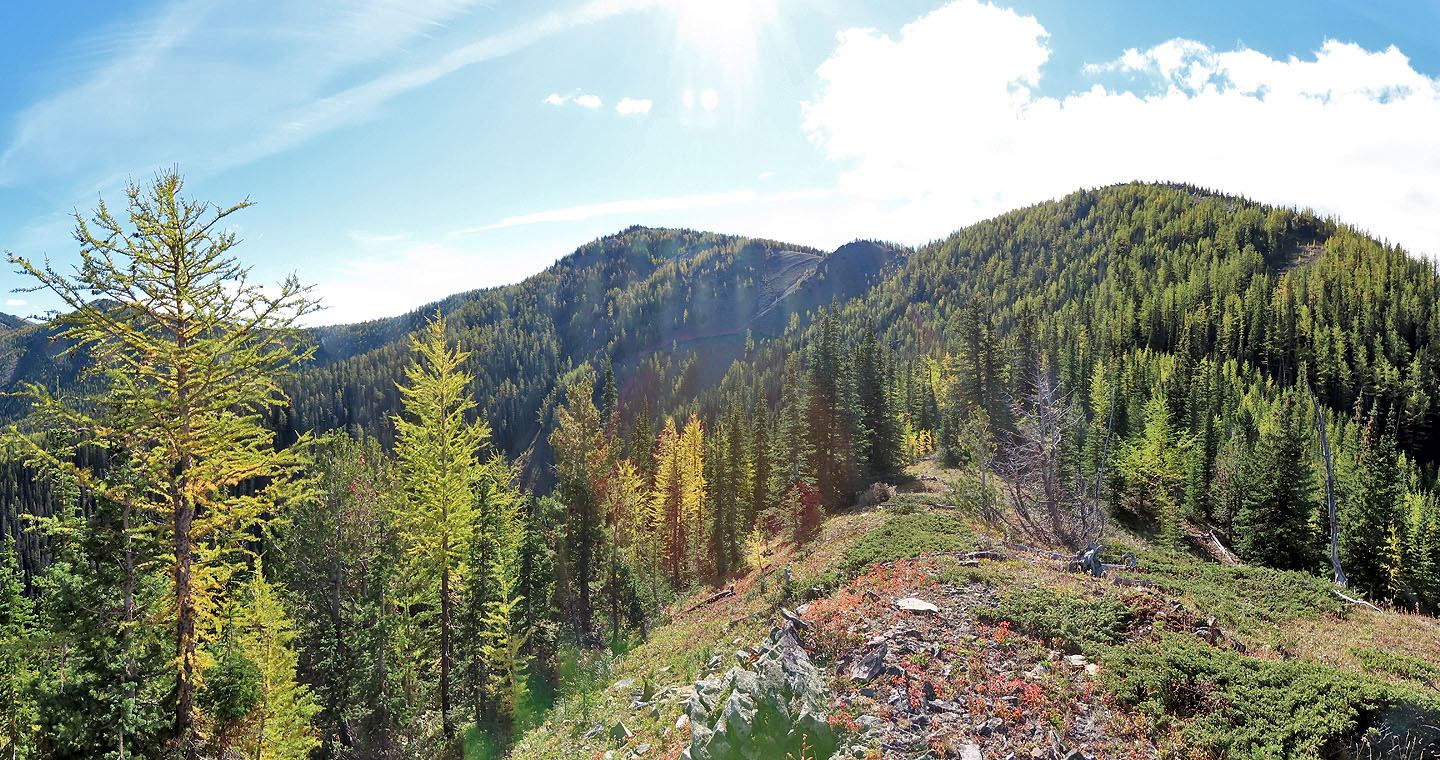
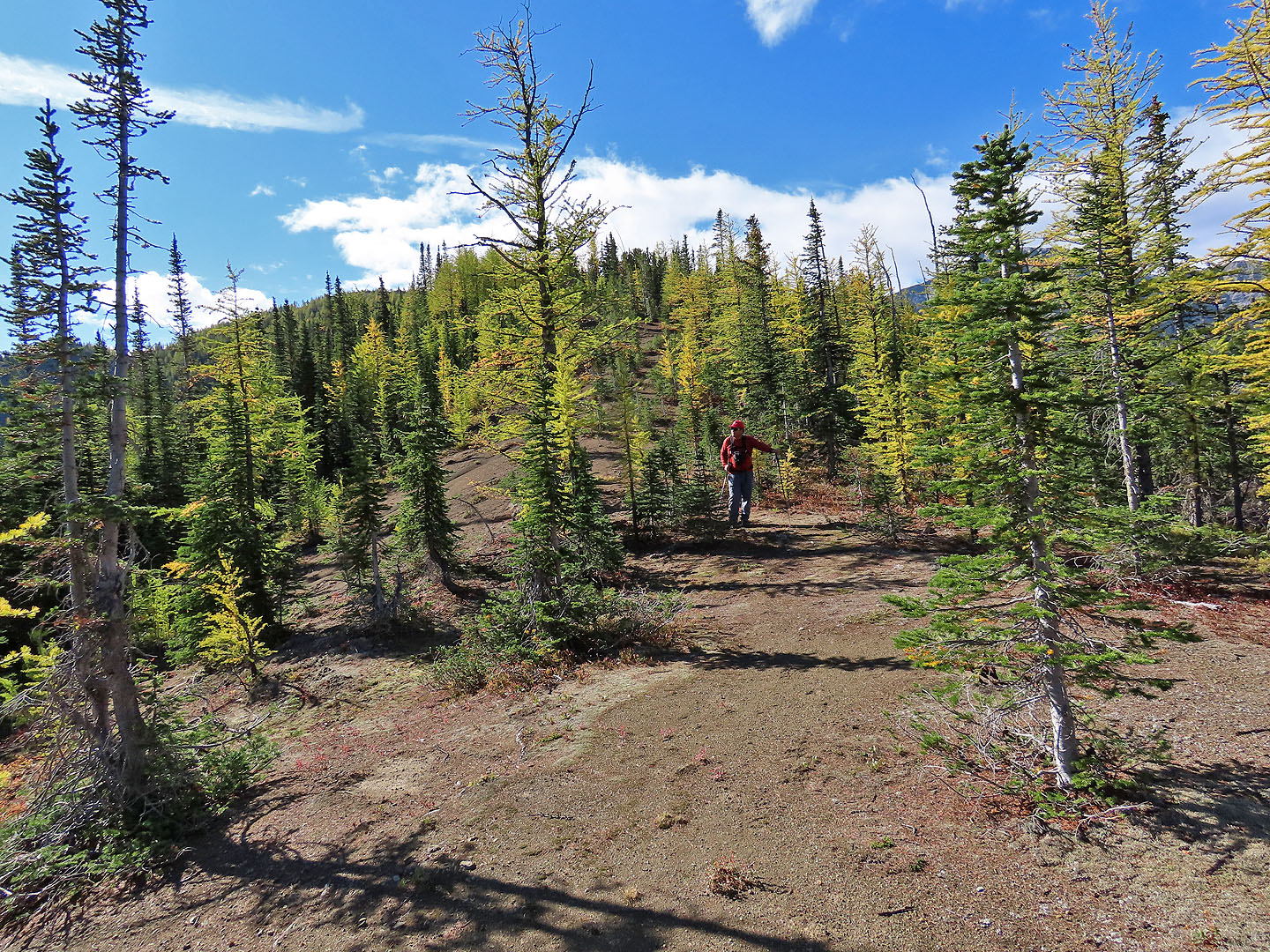
We'll head to the bare spot in the trees upper right
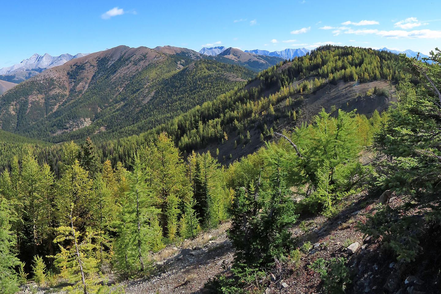
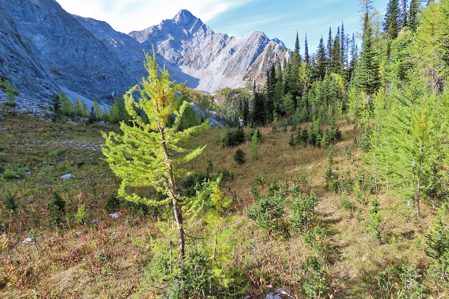
We were a few days early for larch season: few trees had reached brilliant yellow
Looking back at the last section we hiked
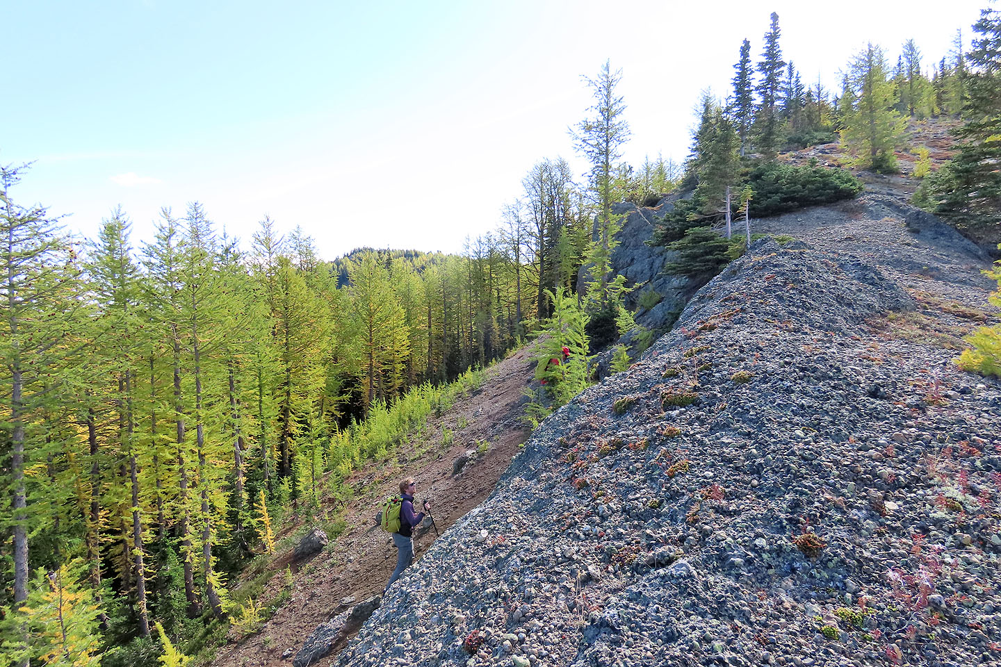
After a brief, easy scramble, we regained the ridge
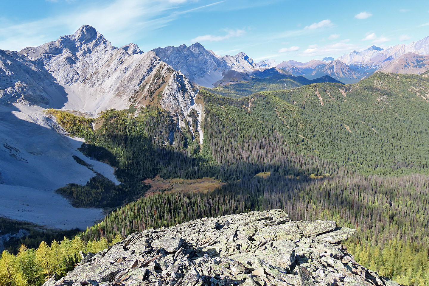
Odlum Ridge stretches east with the summit in the centre
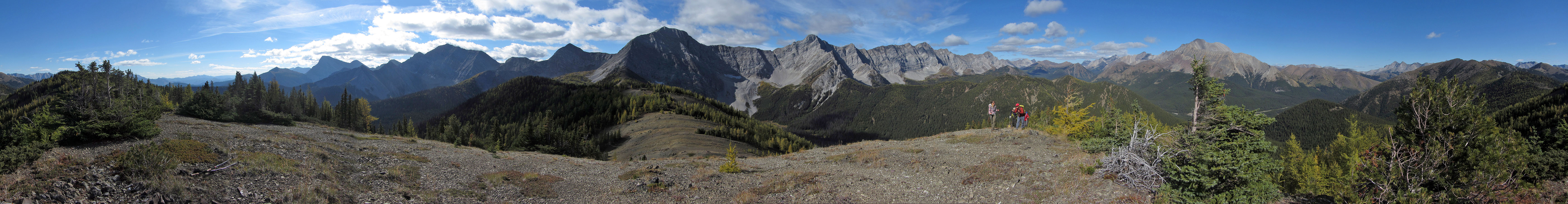
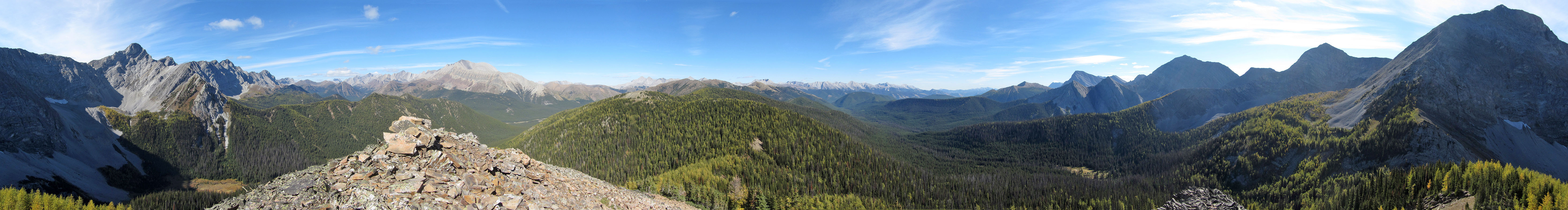
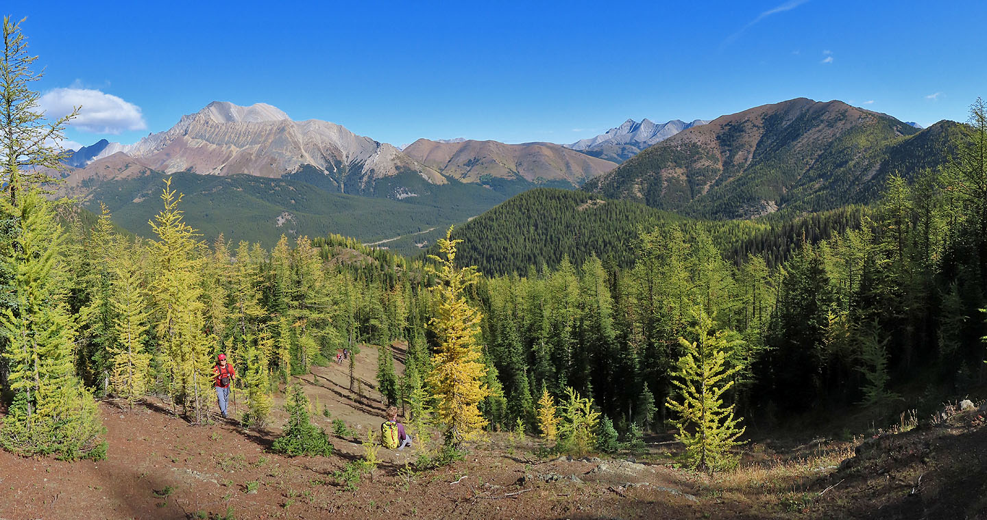
A panorama from 480959 where we relaxed for half an hour
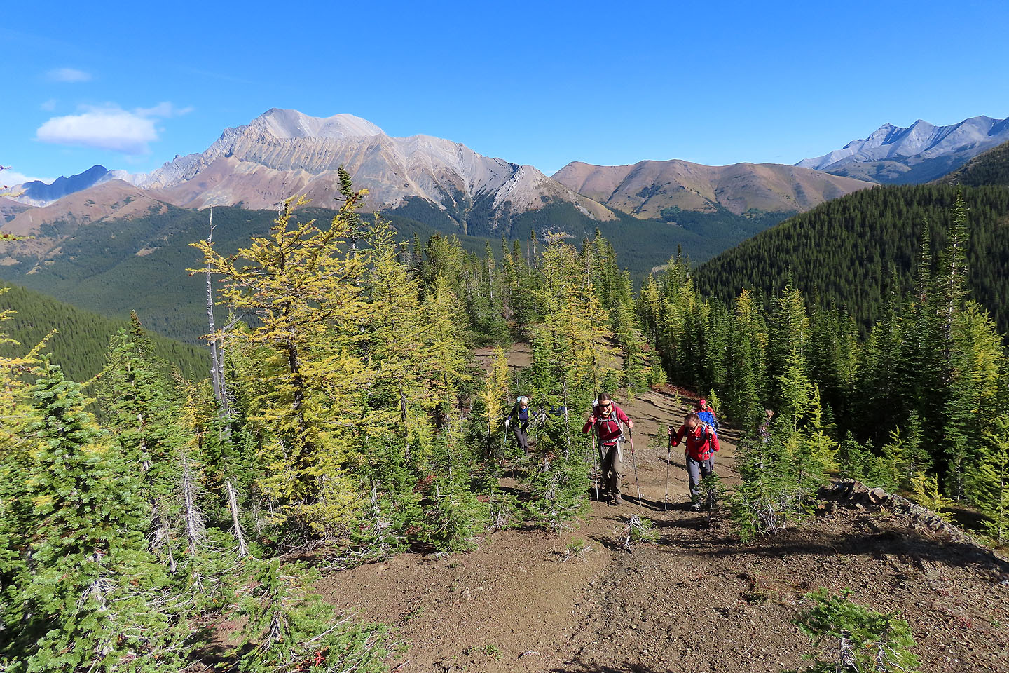
We continued along the ridge
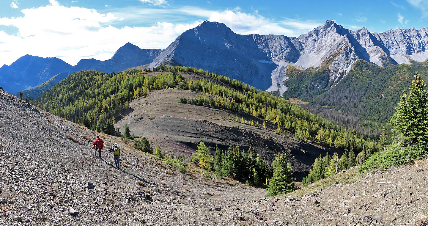
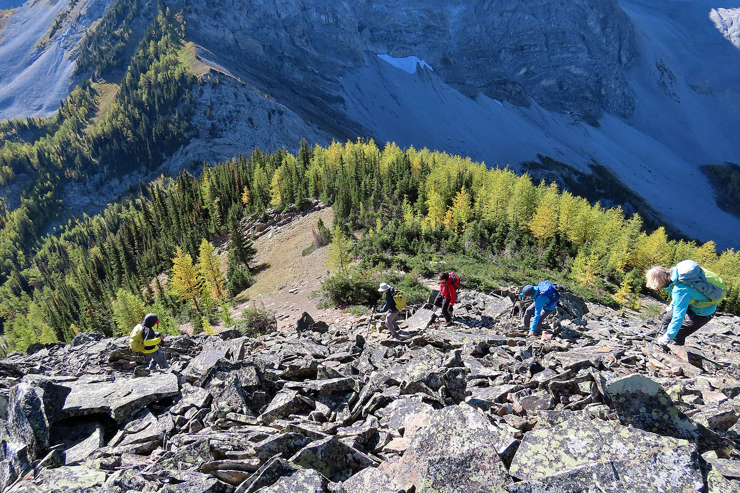
Most of the way from here to Odlum Knoll (centre) required routefinding and bushwhacking
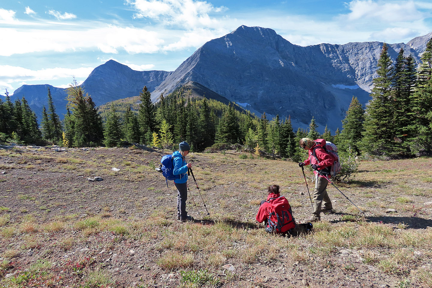
The route became easier on the saddle before the knoll
The final climb to the summit
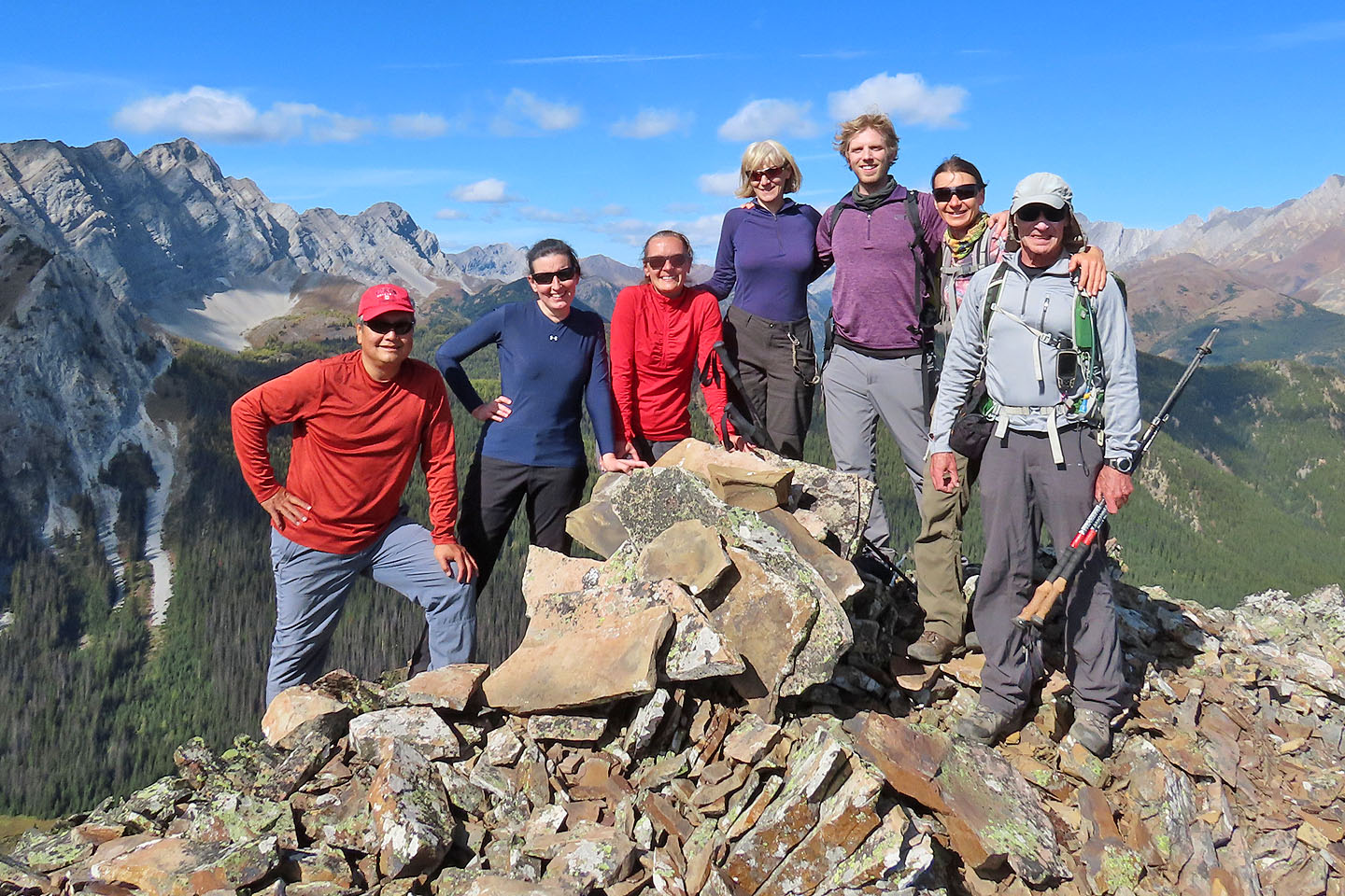
Sonny, Marta H., Aga, Marta W., Kevin, Zosia and me gather around the summit cairn
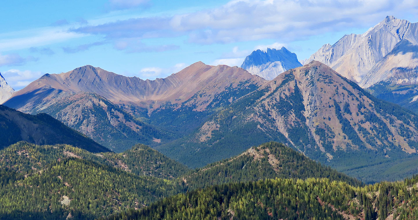
North are Grizzly Ridge and Highwood Ridge. Highwood Ridge extends to the South Peak on the right which we climbed a week later.
We'll make our way down to the valley below
We continued down to the col
We picked up a trail on the col
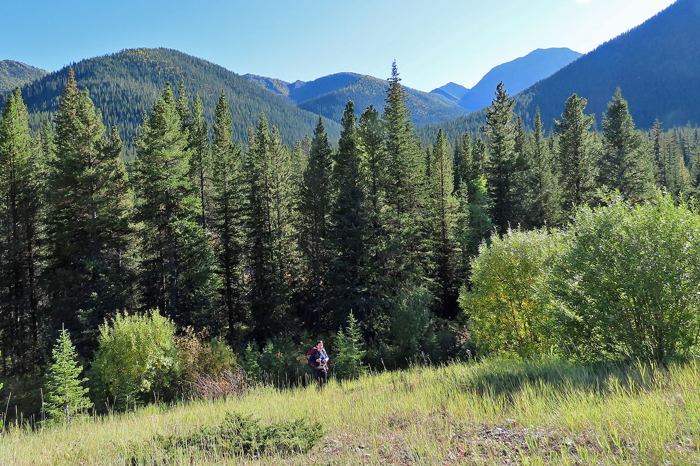
We followed the path down to the valley
The trail disappears at the bottom
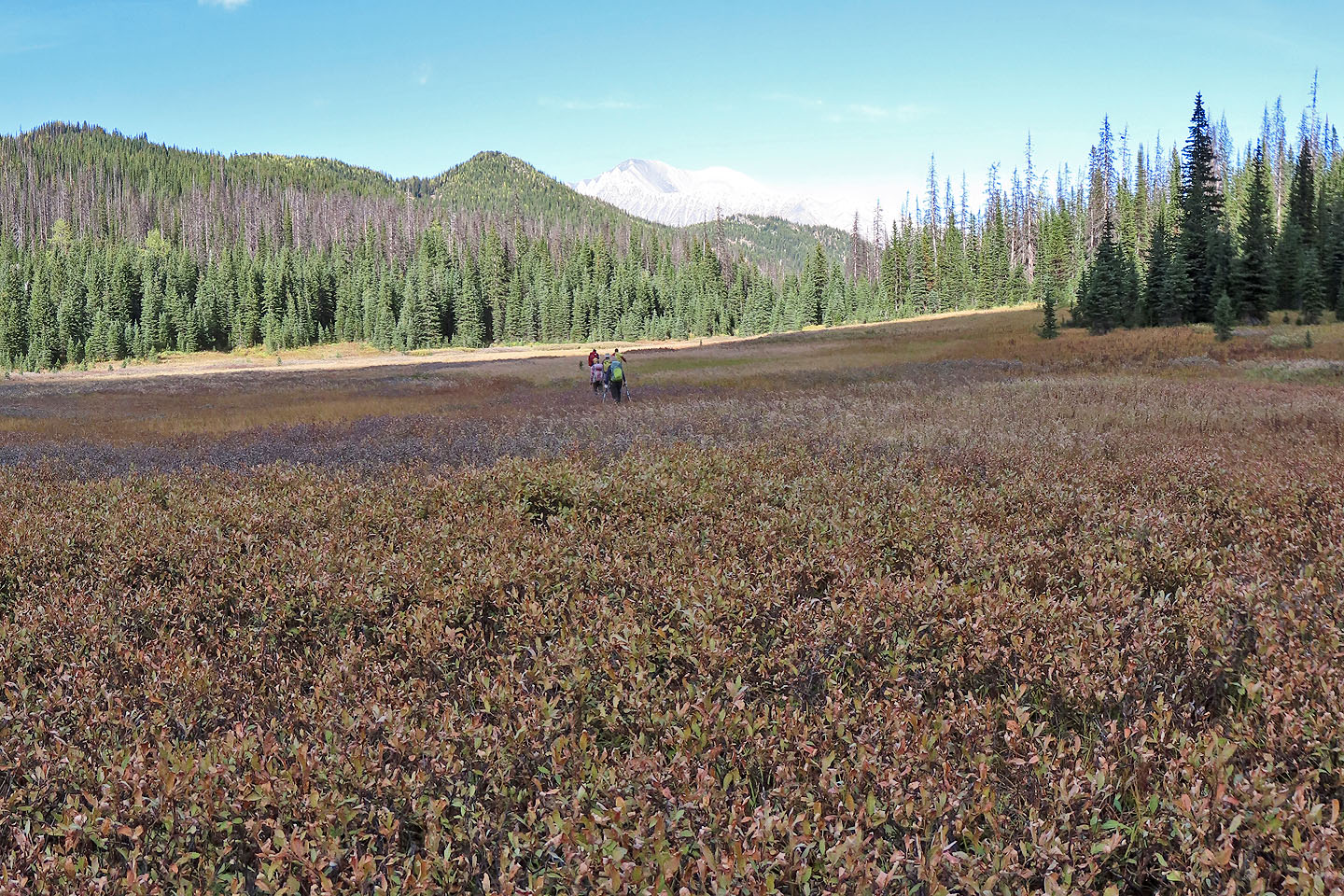
We started across the fen but veered right when it became wet
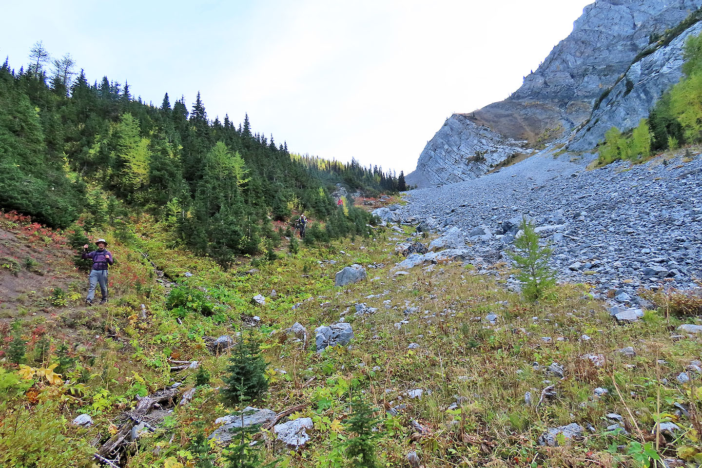
Marta H. exists the trail and makes her way to the highway. In the centre is our ascent ridge.
82 J/07 Mount Head and 82 J/11 Mount Rae