bobspirko.ca | Home | Canada Trips | US Trips | Hiking | Snowshoeing | MAP | About
Running Rain Lake South Ridge
Kananaskis, Alberta
September 13, 2020
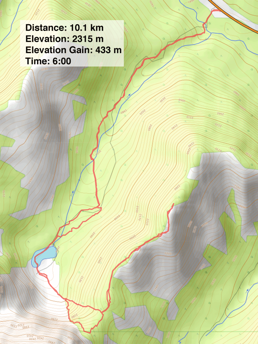
Distance: 10.1 km (6.3 mi)
Cumulative Elevation Gain: 508 m (1667 m)
Highwood Pass is extolled for its yellow larches in the fall, but while hordes of hikers were making their way to Arethusa Cirque or Pocaterra Ridge, no one headed to the ridge that begins south of Running Rain Lake, no one, that is, except Zora, Jonathan, Kari and me.
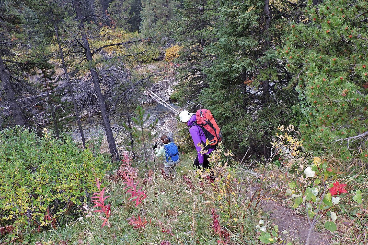
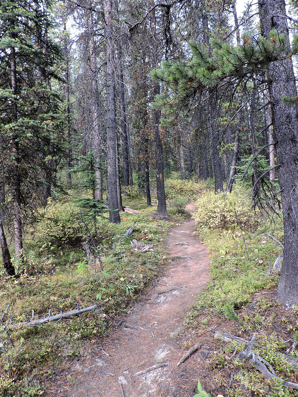
After parking on the roadside, we started down the trail. I say “down” as it immediately drops to Storm Creek. Kari and Jonathan crossed the creek using stepping stones but weren't successful in keeping dry. Zora and I breezed across in hip waders.
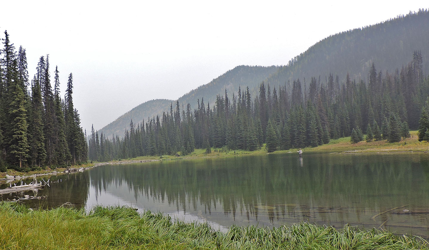
Soon after the creek, we were confronted with a beaver pond. But we easily hiked across the dam and followed the trail to the lake. After reaching the other side of the lake, we headed to the south ridge.
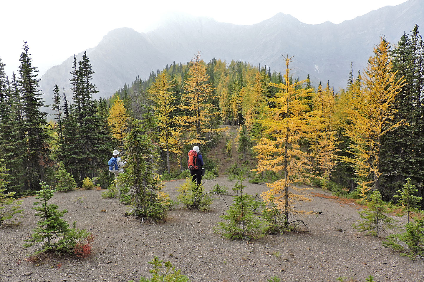
We started up the open slope to the col at the south end of the ridge, but the delightful yellow larches beckoned. We were soon smiling as we moved easily through the colourful forest, up a steep slope. We angled left to reach the ridge quicker, although we missed reaching the col. Now we sought the highest point on the ridge.
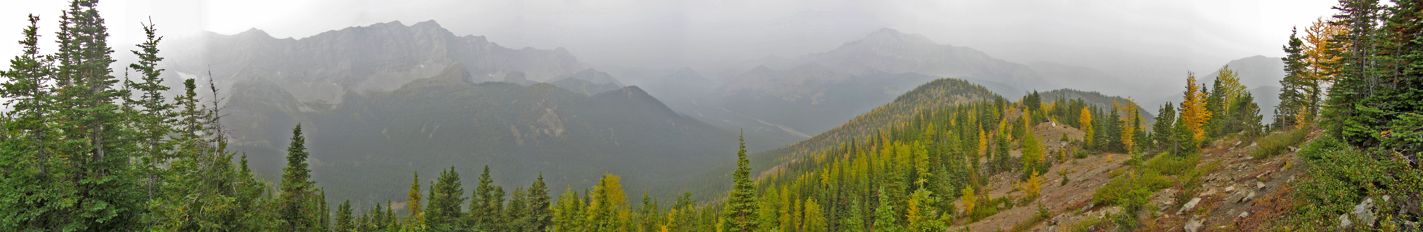
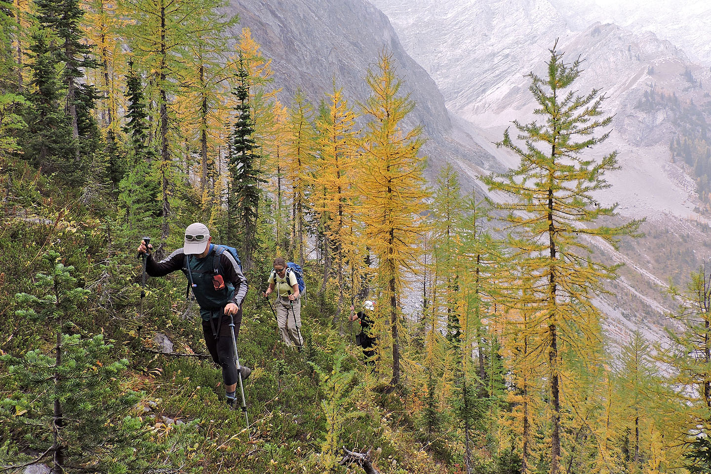
After briefly following the ridge, we came upon a pleasant animal path. As we followed it along the crest, we welcomed clearings we passed but could see little beyond them. Smoke from U.S. wildfires defeated the views, rendering nearby peaks such as Mist Mountain and Odlum Ridge into ghostly images.
Eventually we reached the highest point, a narrow ridge marked with a summit cairn. There was little space to relax, so we continued along the ridge to a pleasant glade. The warm weather enticed us to linger, and after an extended stay, we hiked back along the ridge.
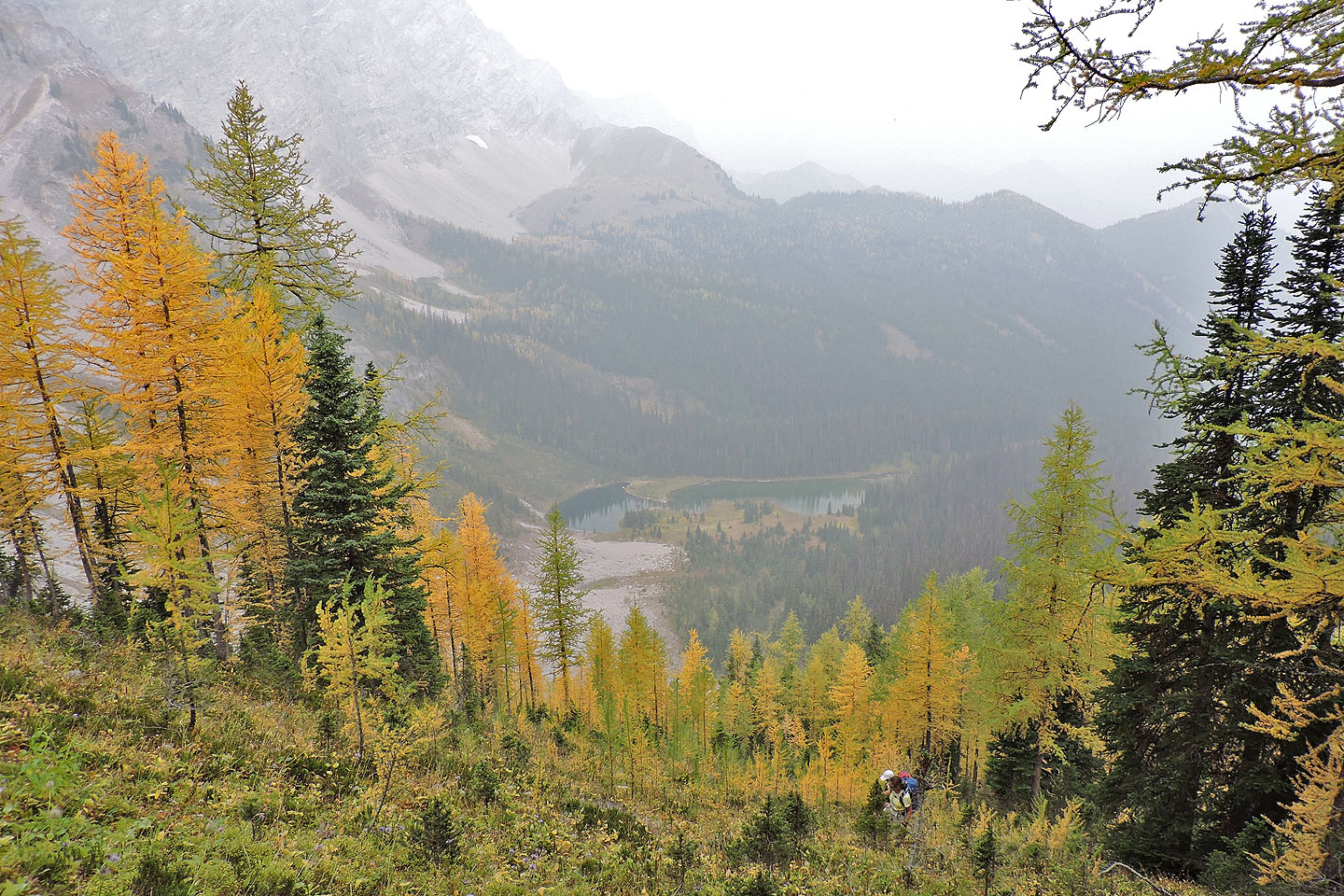
The ridge has a few ups and downs, and at a low point, we decided to exit the ridge. We started down and immediately got sucked into trying a gully. It began innocuously but soon turned mercilessly steep. The hard-packed dirt sides of the V-shaped gully resisted easy escape. Fortunately, we encountered no big drop-offs and managed to go down or around short drops. But I'm sure we reached the bottom of the slope quicker than if we had bushwhacked. We were soon back on the trail. Looking across the lake, we could see the south ridge, but details were lost in a haze of smoke. We couldn't see any yellow patches, but the larches were there. We had passed through them.
Map Note: This trip is described in Kananaskis Country Trail Guide. It points out that the NTS map portrays this area inaccurately. To correctly display our route, I resorted to using OpenTopoMap.org.
Postscript: Alf Skrastins suggests using the avalanche gully: "If you go up via the 'avalanche slope/mud-slide gully' that you took a photo of, you go up into a larch grove on the left (east) side of the gully. An animal trail near the top of the grove will lead you to the highest summit. Or, you could head downhill from the highest summit to exit off the ridge, without back-tracking to the lake." Alf called this ridge Running Rain Lake South Ridge so I followed suit.
The trail immediately drops down to Storm Creek
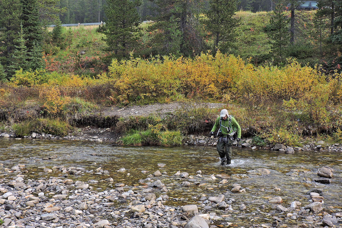
I crossed the creek in waders
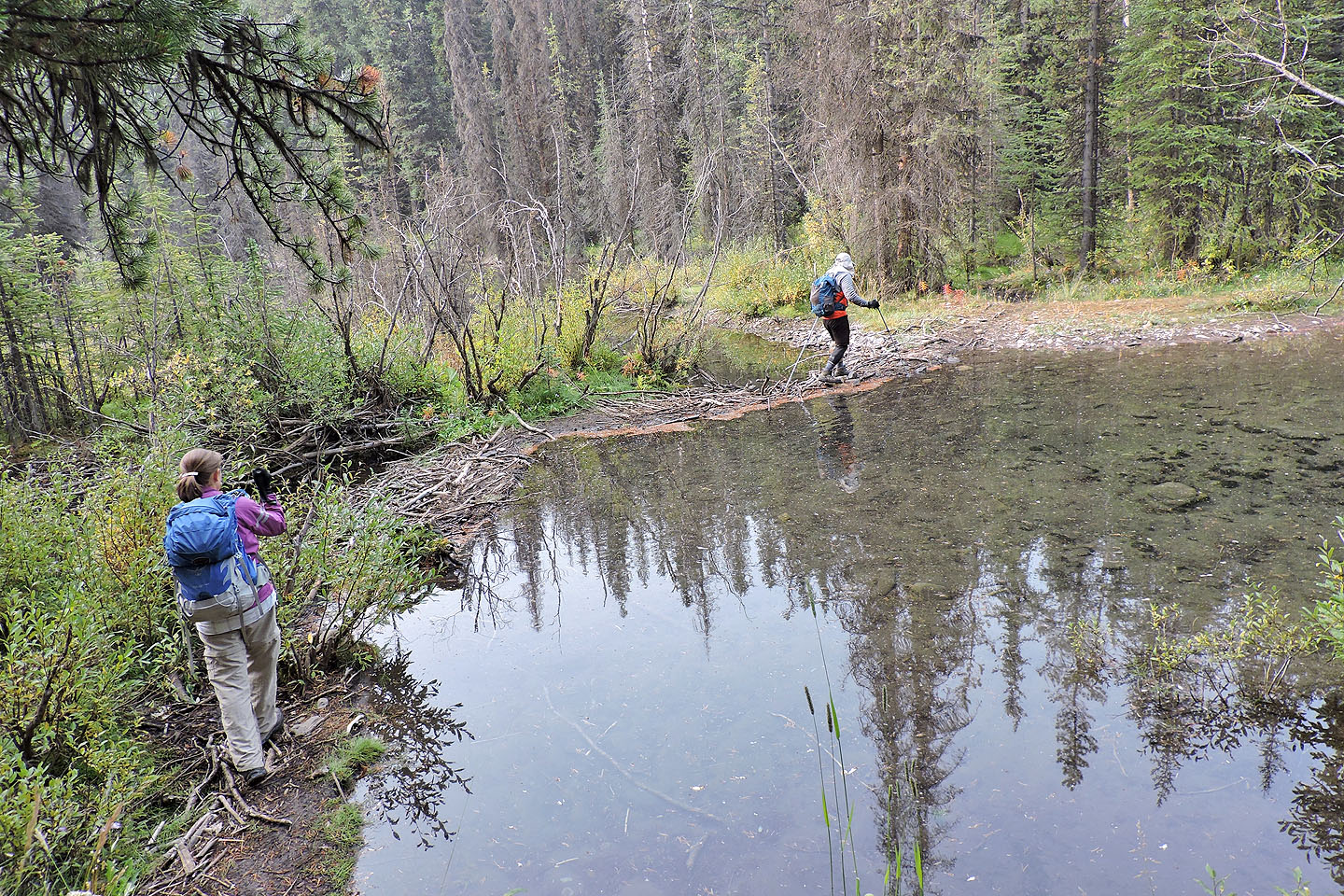
A couple of minutes later, we crossed a beaver dam
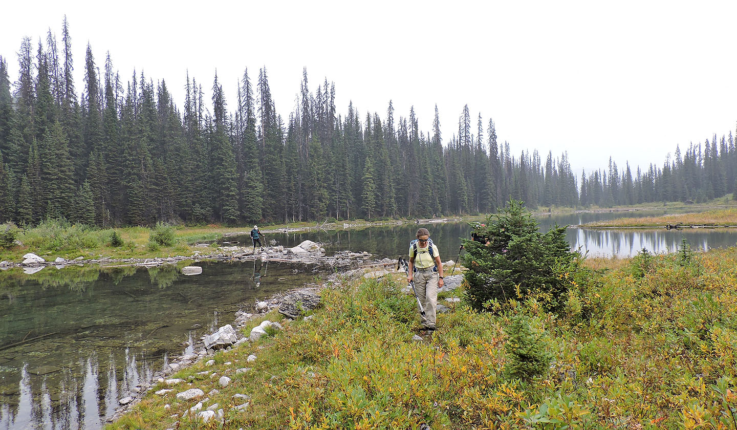
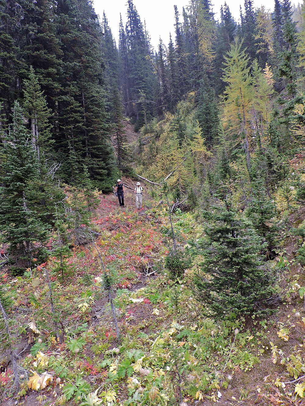
A good trail runs to the lake
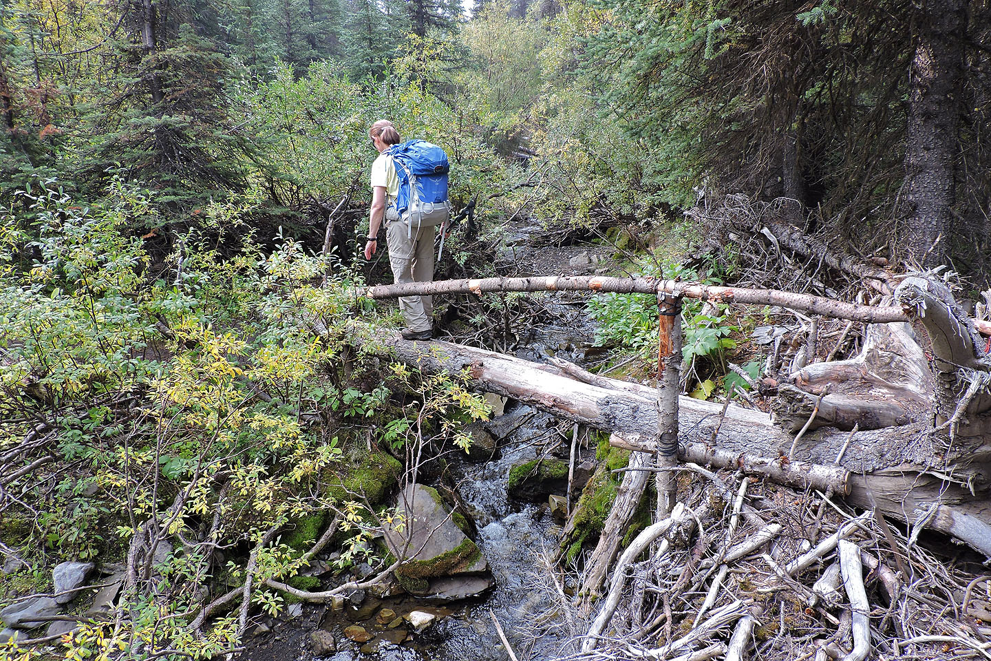
A log bridge complete with a handrail crosses the creek
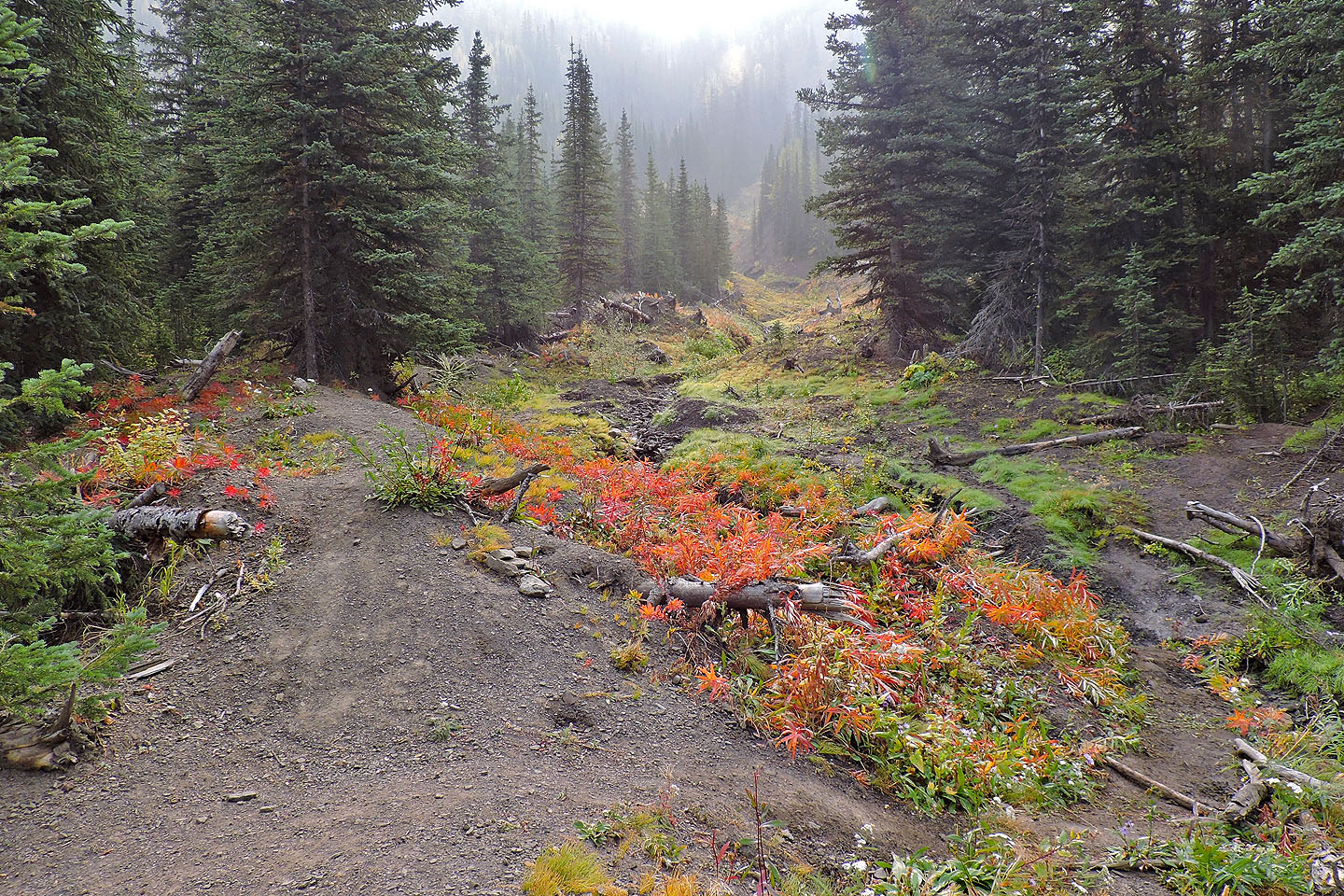
The trail passes an avalanche gully
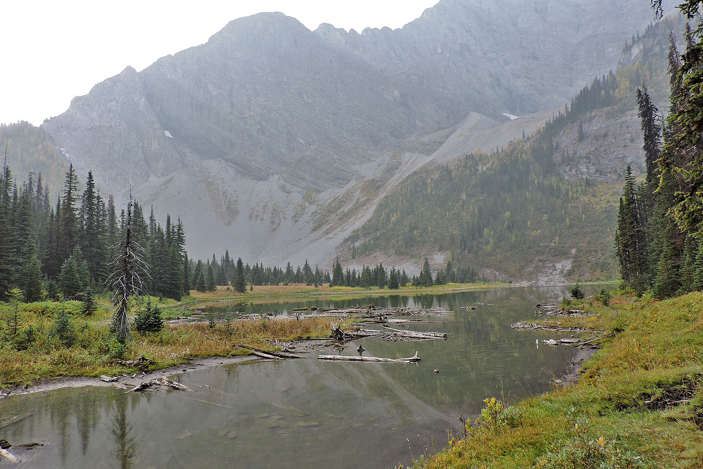
Running Rain Lake
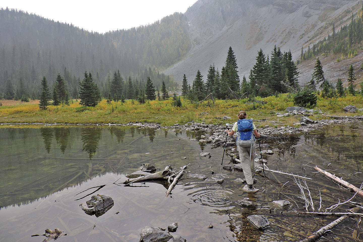
Zora walks on stepping stones that bisect the lake
Looking back as Jonathan crosses
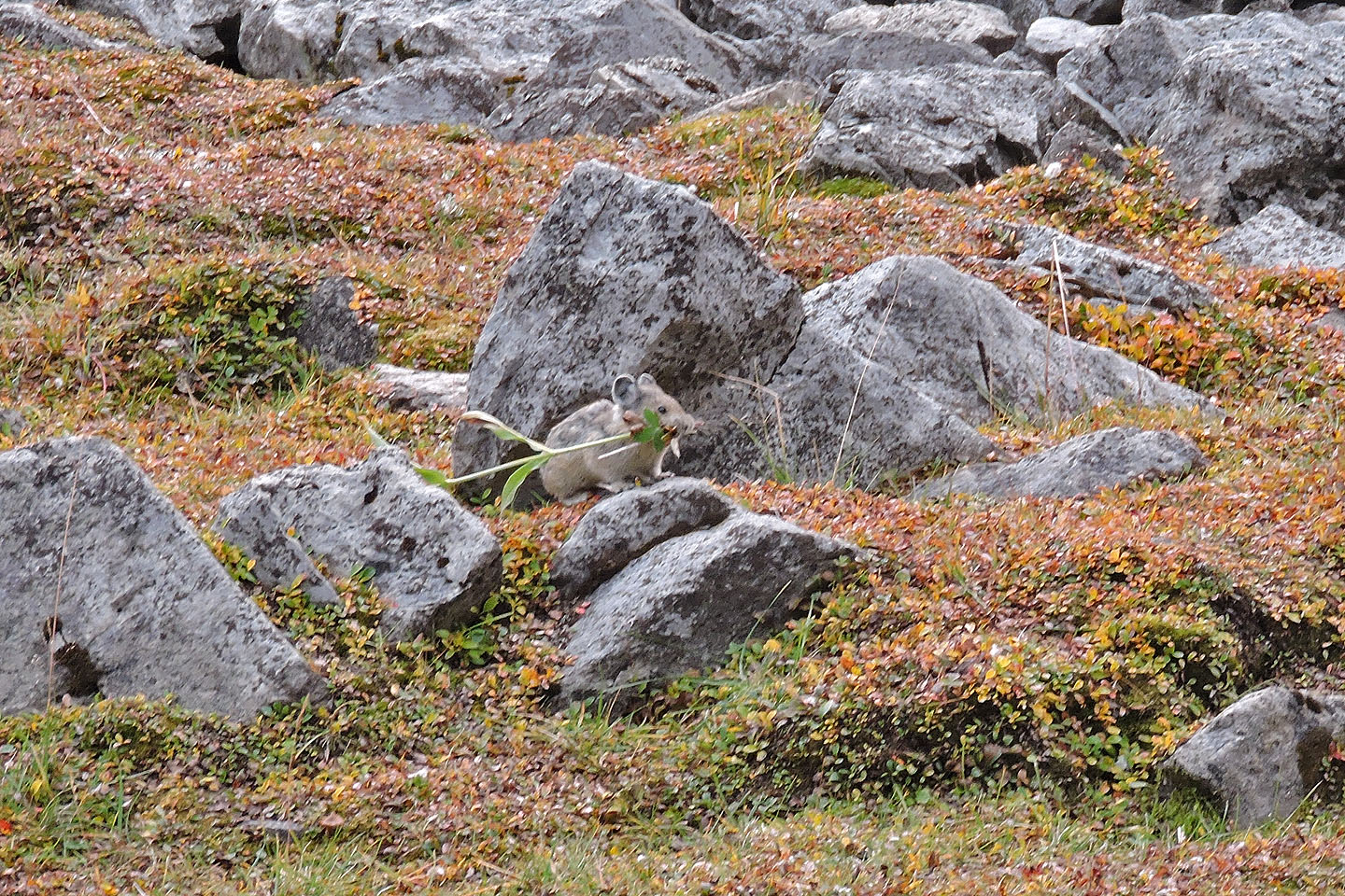
We spent several minutes watching pikas gathering supplies for winter. Like a lumberjack chopping down a tree, this critter cut down a tall plant, letting it topple before dragging it away.
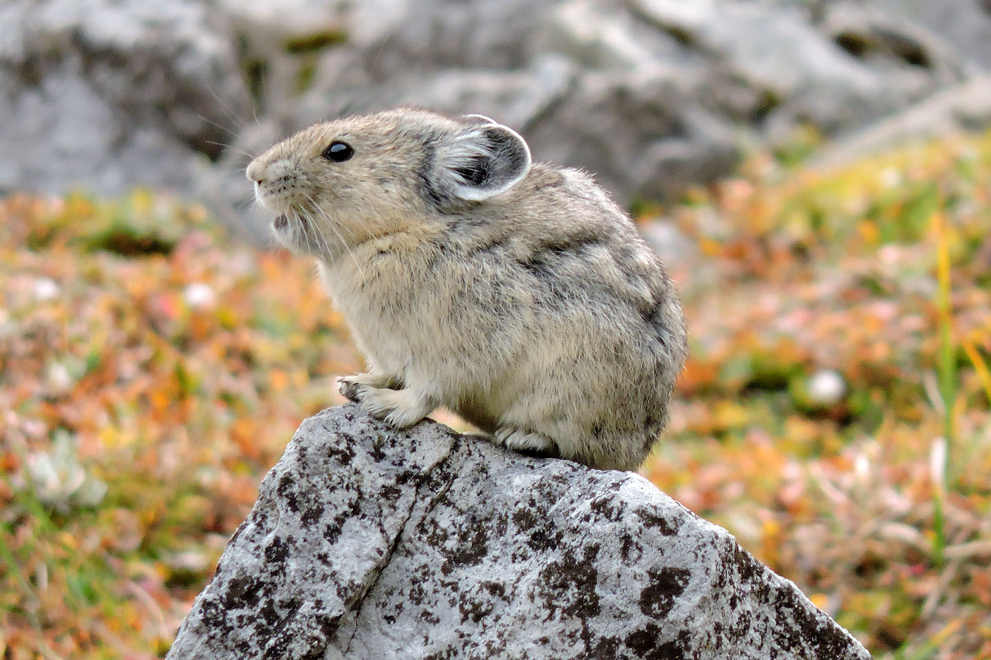
This critter paused long enough for me to zoom in with my camera
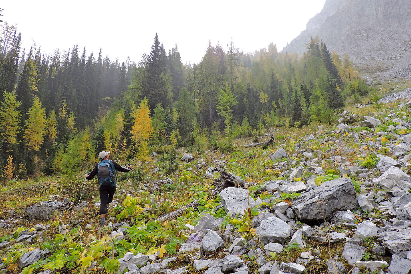
Starting up the slope
Looking back at the lake. Above it the North Ridge, a more interesting hike.
We eventually moved into the forest
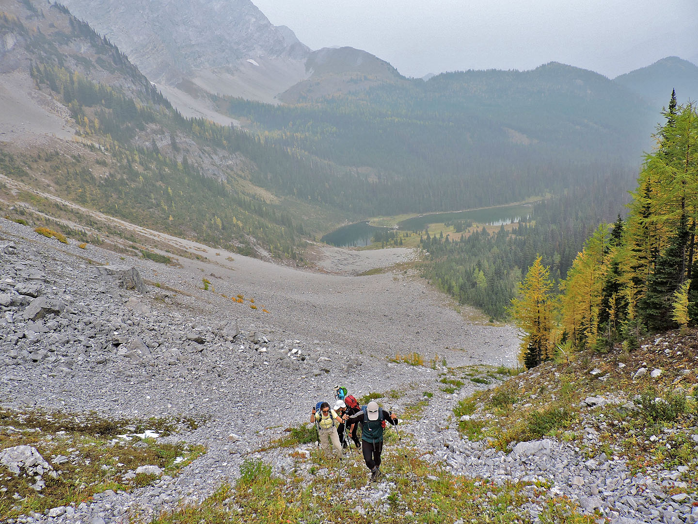
The steep climb put us well above the lake
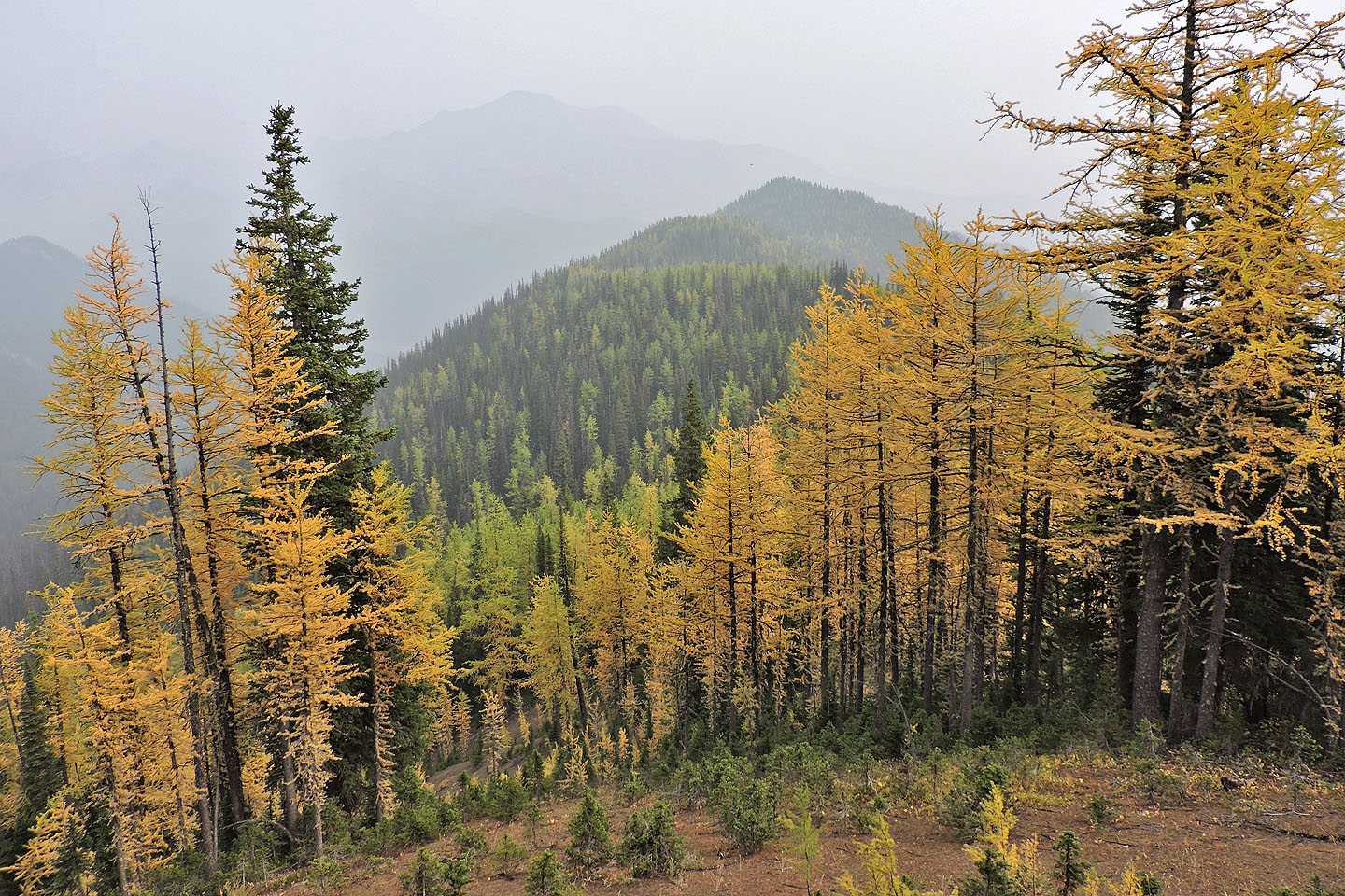
When we reached the ridge crest, we could see our objective
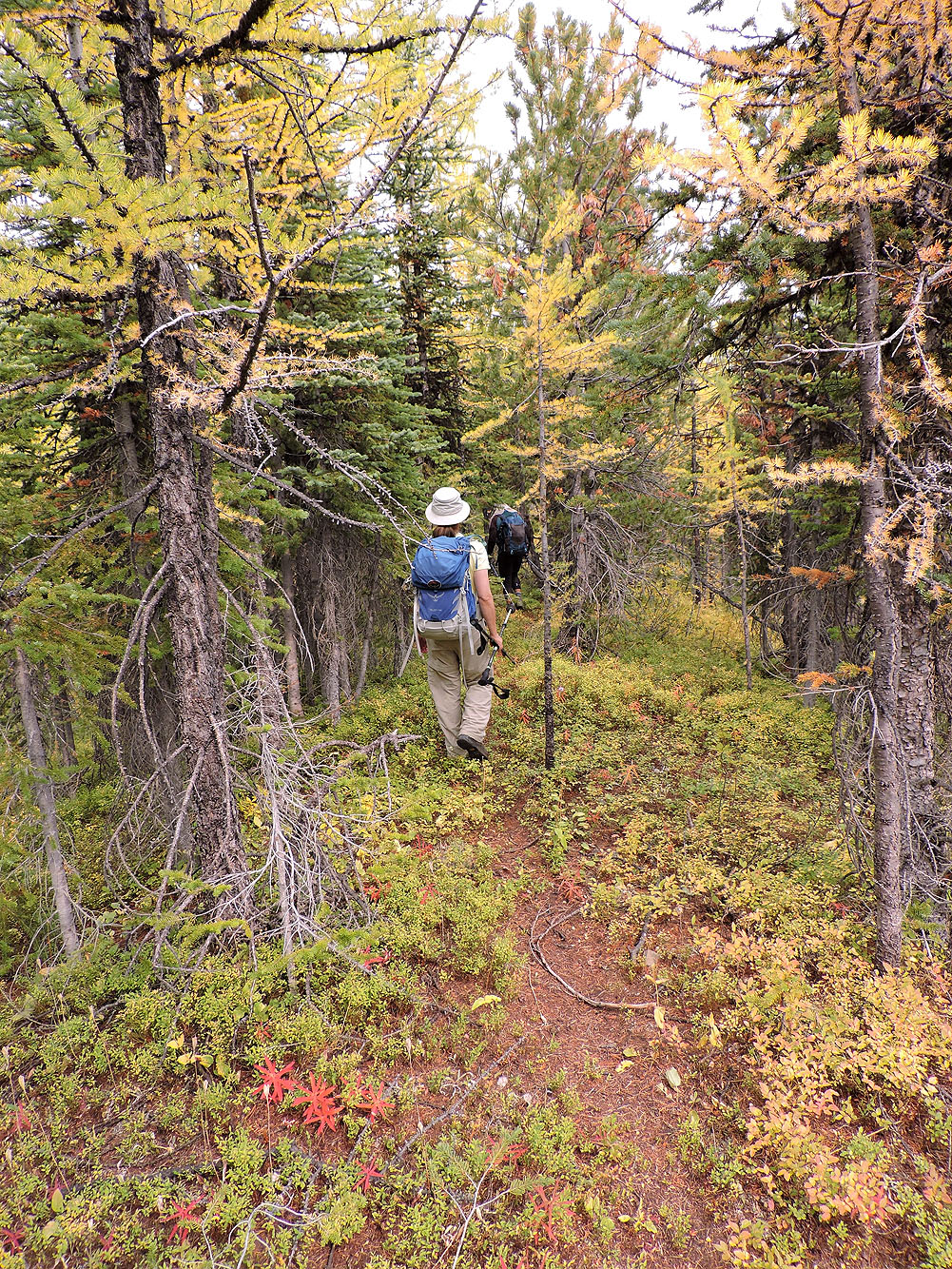
We soon came across an animal trail that followed the ridge
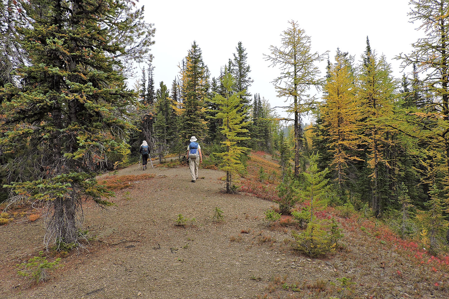
There were small clearings on the ridge
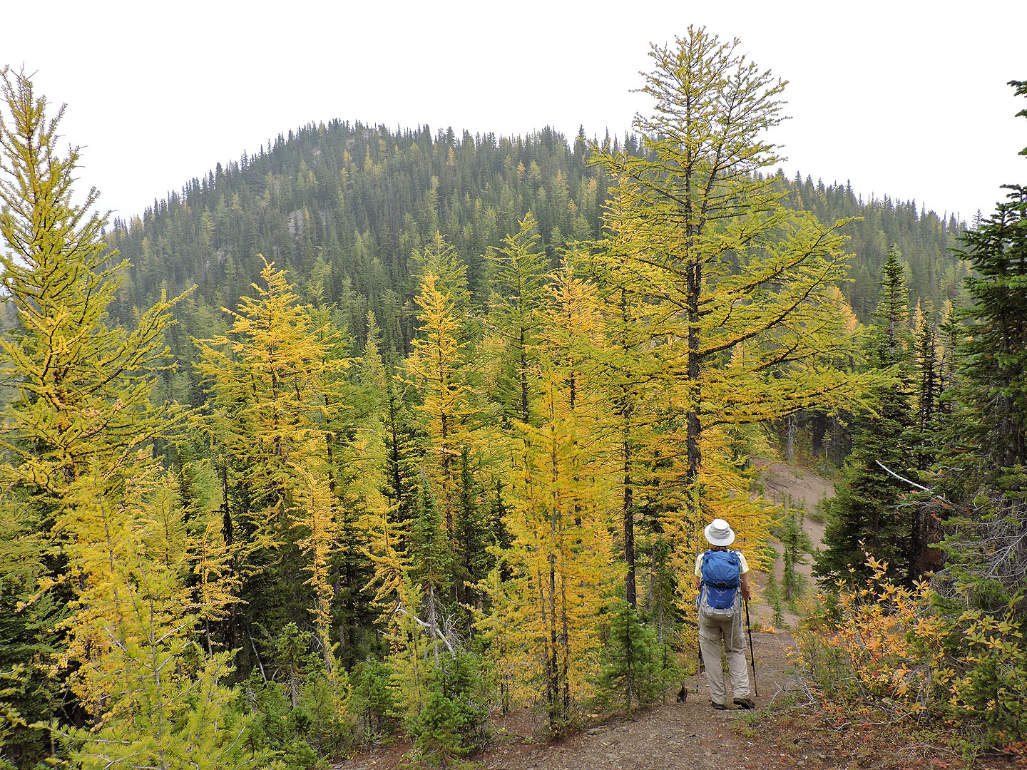
The highest point on the ridge is ahead
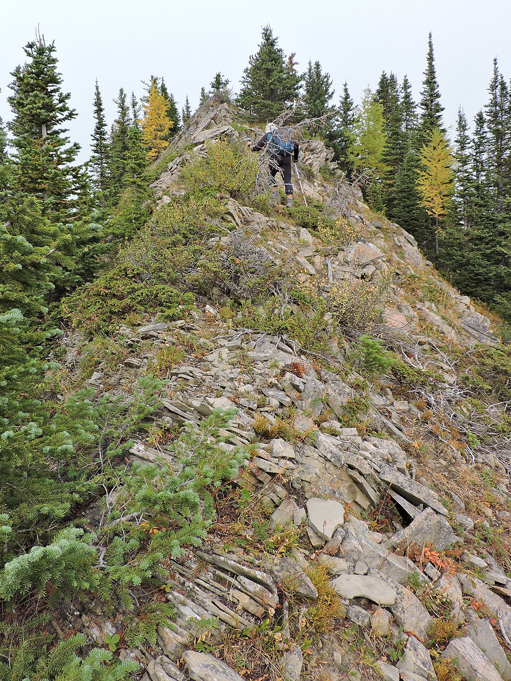
A narrow ridge leads to the top
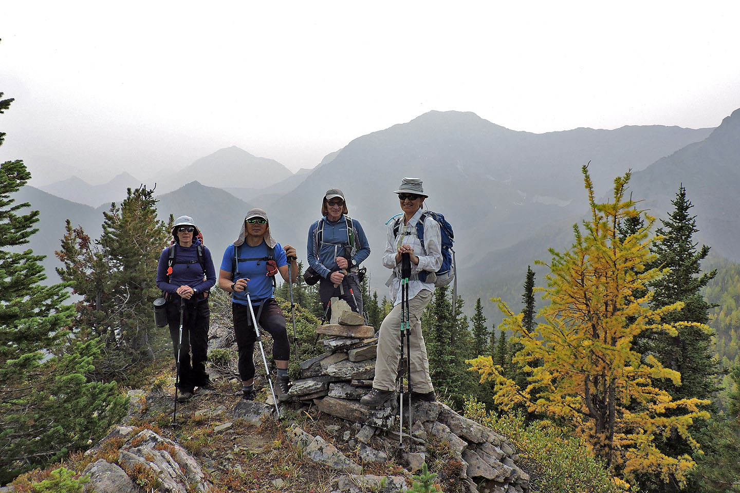
Standing by the summit cairn
We headed to a clearing after the summit to spend our break
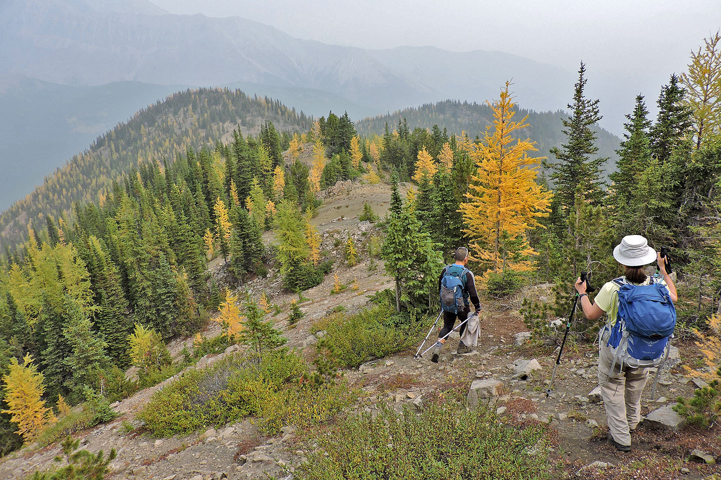
The last high point on the ridge appears within easy reach
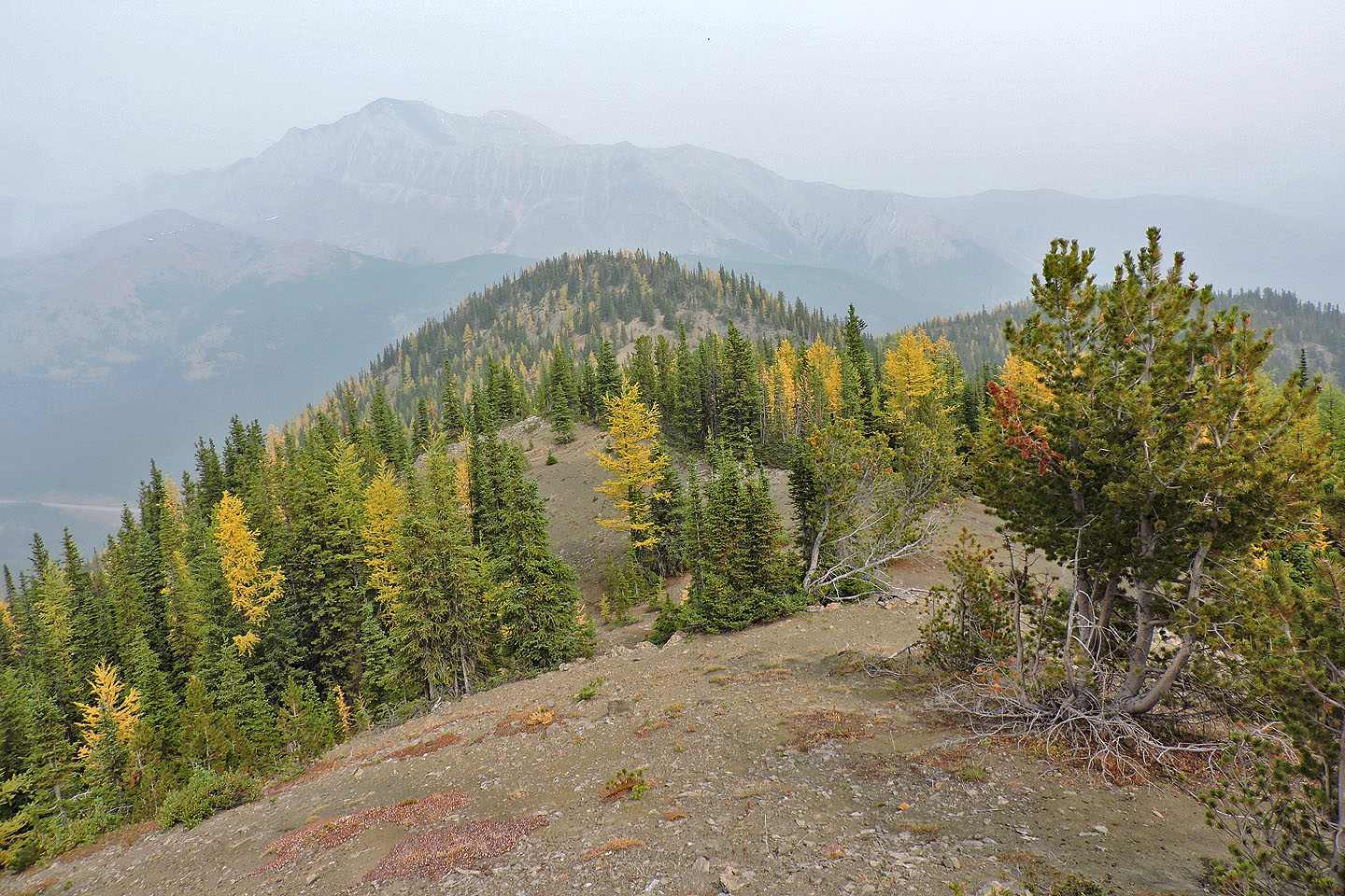
Heading back along the ridge
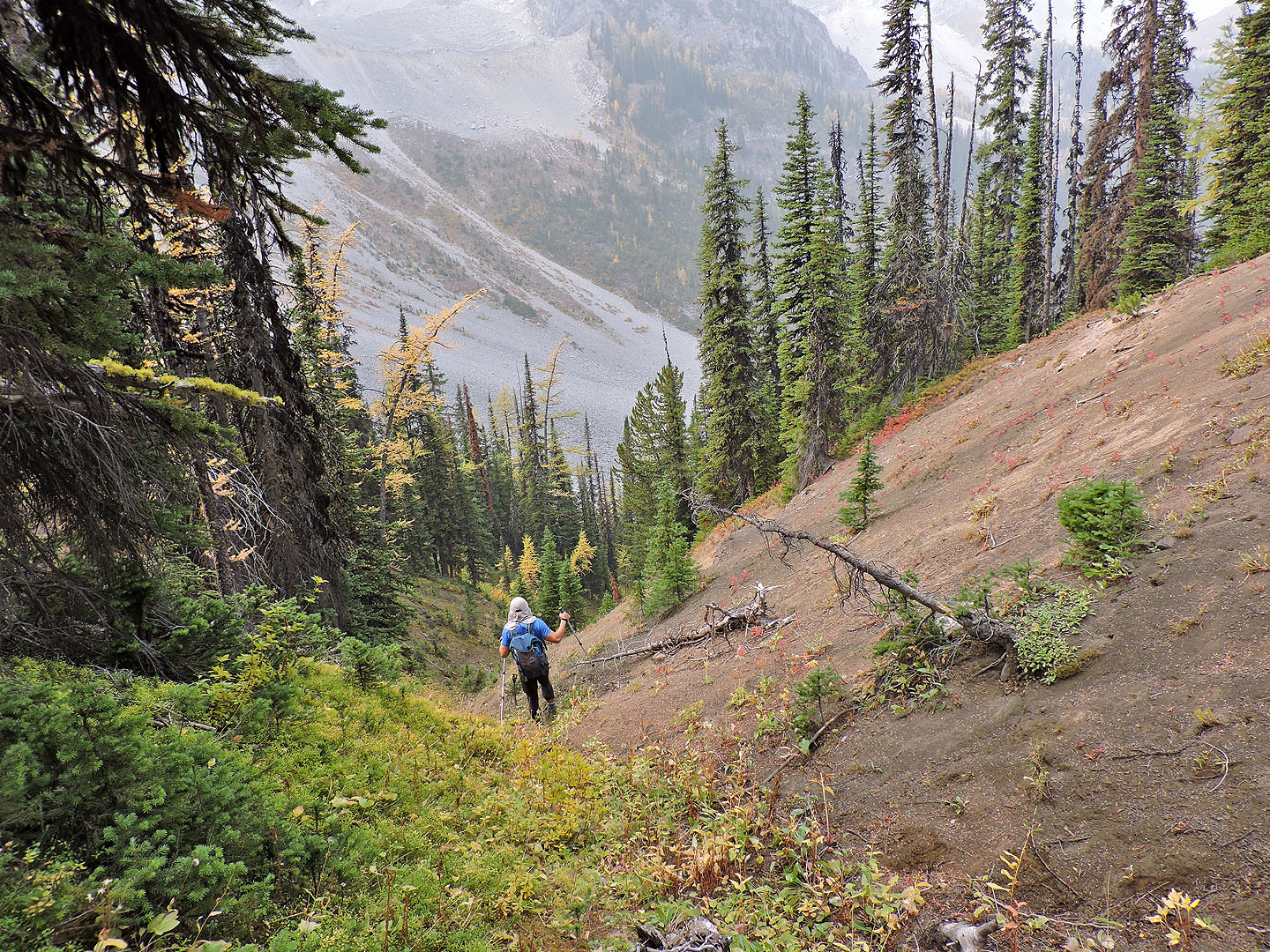
We followed a steep gully down
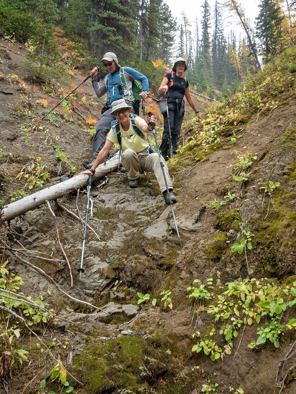
We had to negotiate a few short drops in the gully
Reaching the end of the gully
Looking across the lake, we climbed the high point in the centre
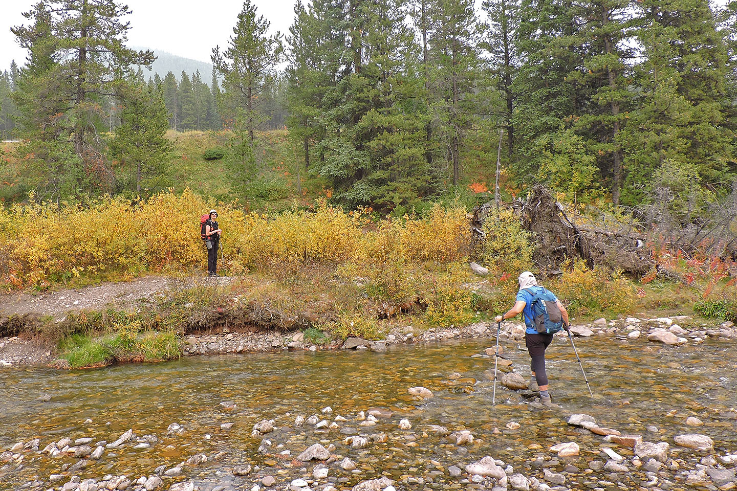
Jonathan carefully crosses Storm Creek using stepping stones
OpenTopoMap