bobspirko.ca | Home | Canada Trips | US Trips | Hiking | Snowshoeing | MAP | About

McConnell Point
aka Engagement Mountain
Kananaskis, Alberta
May 31, 2014
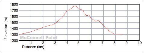
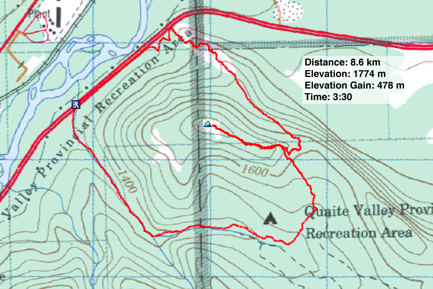
Distance: 8.6 km (5.3 mi)
Cumulative Elevation Gain: 484 m (1588 ft)
McConnell Point is a half-day hike suitable for when time is short, such as when your hiking partner has to prepare a three-hour presentation for work over the weekend. Dinah and I followed the looped route recommended in Kananaskis Country Trail Guide: ascending Quaite Valley trail and descending Razor's Edge trail.
After parking at the trailhead east of Exshaw on Hwy. 1, we set off up the Quaite Valley trail. It looked like a work-in-progress road. Presumably it was undergoing reconstruction since last year's historical floods. Fresh-cut logs and caterpillar tracks were everywhere and loose rock and dirt covered much of the broad trail. A small excavator parked at the trailhead suggested they weren't done yet.
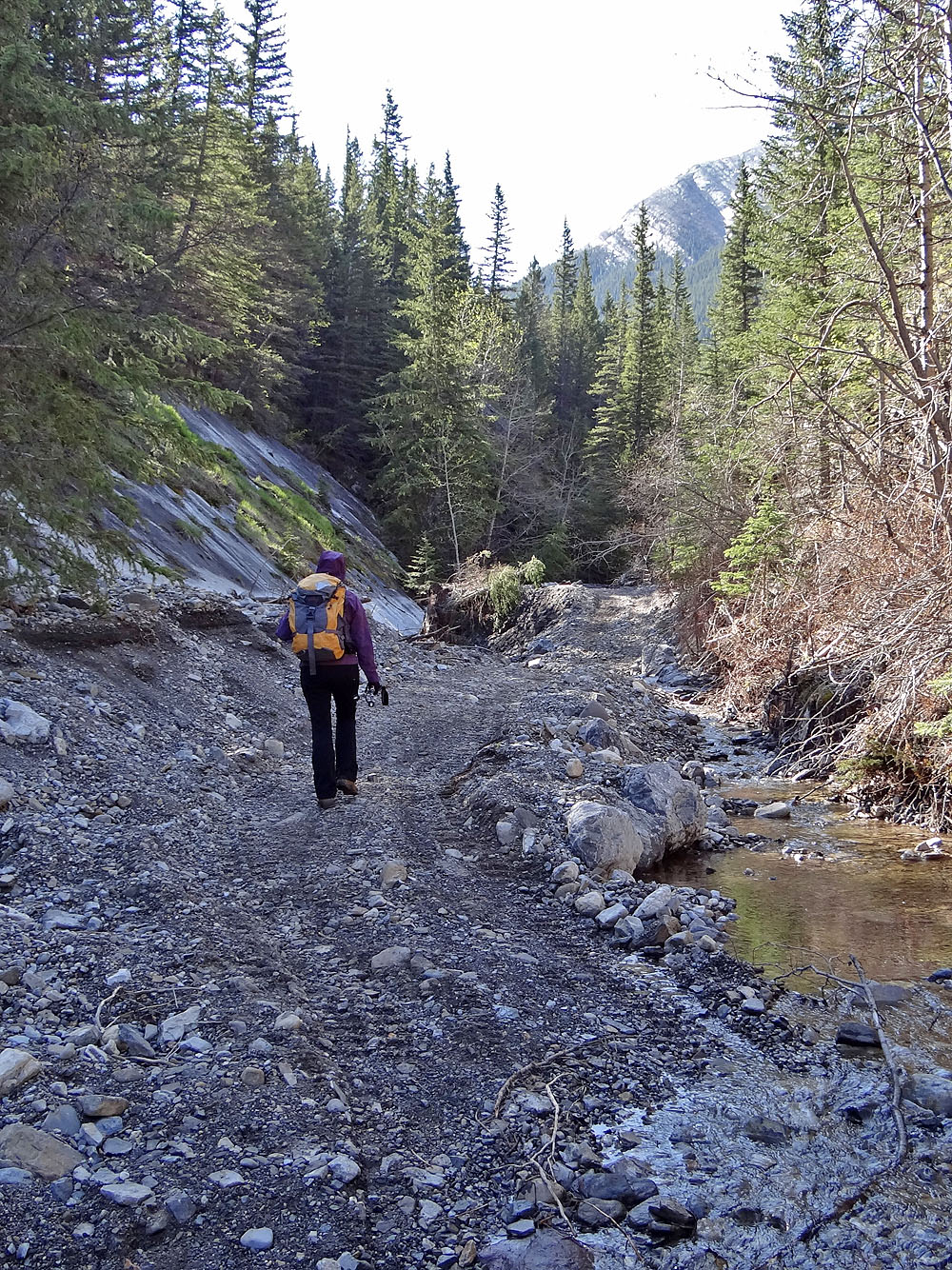
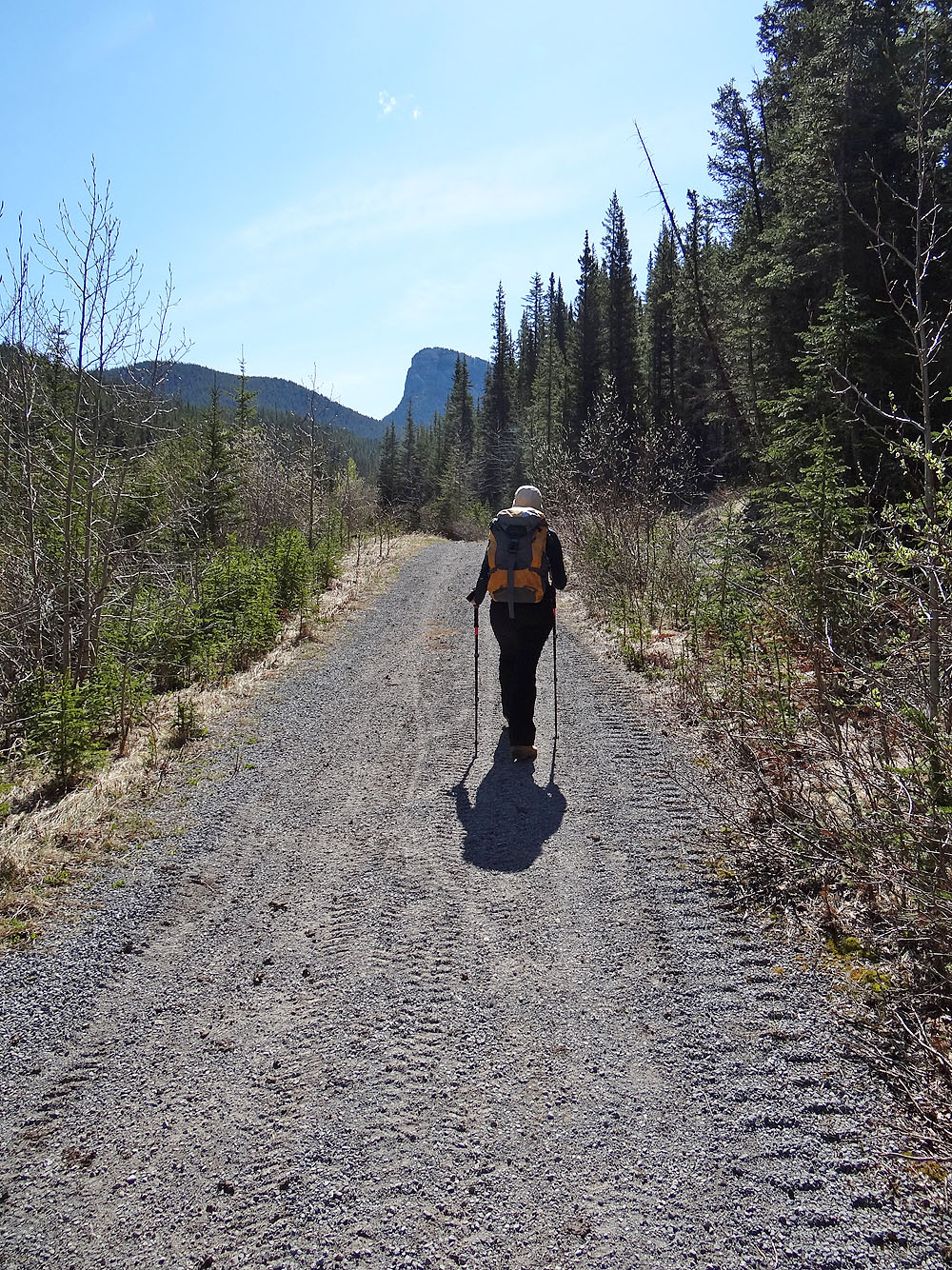
But after hiking two klicks, the trail appeared pristine, unaffected by flood or labour. 500 m beyond the campground, the trail passes the side trail we needed to take. It leads to the east end of the summit ridge of McConnell Point, although calling it a trail is wishful thinking. The trail soon disappeared underfoot, but we stuck to a narrow corridor in the trees. At the base of the summit ridge, we took advantage of faint trails to climb the steep, wooded slopes to the crest. Here along the ridge, we found small glades where we could stop and look around. Then we followed bits of trail to the bare summit of McConnell Point. Despite its modest perch among higher peaks, it was a fine vantage point to view mountains both near and far.
When it came time to leave, we found our way back to the base of the summit ridge. We looked around for a connecting trail, but not finding any, we bushwhacked down the slope until we hit Razor's Edge trail. The trail was so faint at first that we had trouble locating it. But after starting on it, it resolved into a good dirt track. We especially enjoyed the last section of the trail. It breaks out of the trees and follows smooth rock before dropping down to Hwy. 1, all while providing unobstructed views of the mountains in front of us.
After reaching the highway, we walked 800 m back to our car, which was now joined by several more vehicles. The trails here are popular with mountain bikers (four whizzed by us on the trails), but rest assured you'll find solitude rather than cyclists on top of McConnell Point.
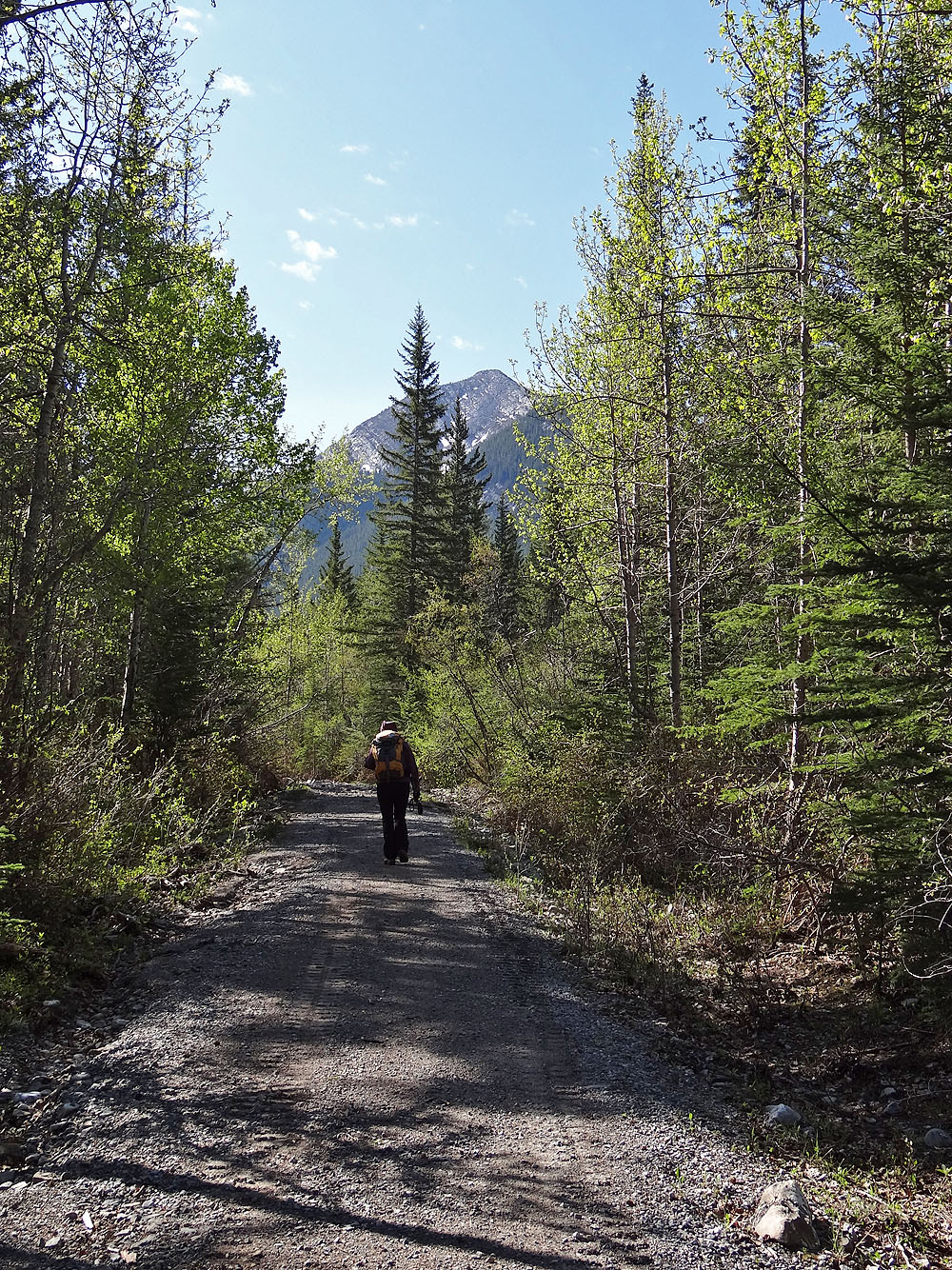
Starting up Quaite Valley trail. Mount Baldy ahead.
The trail showed signs of recent work (mouse over to look back)
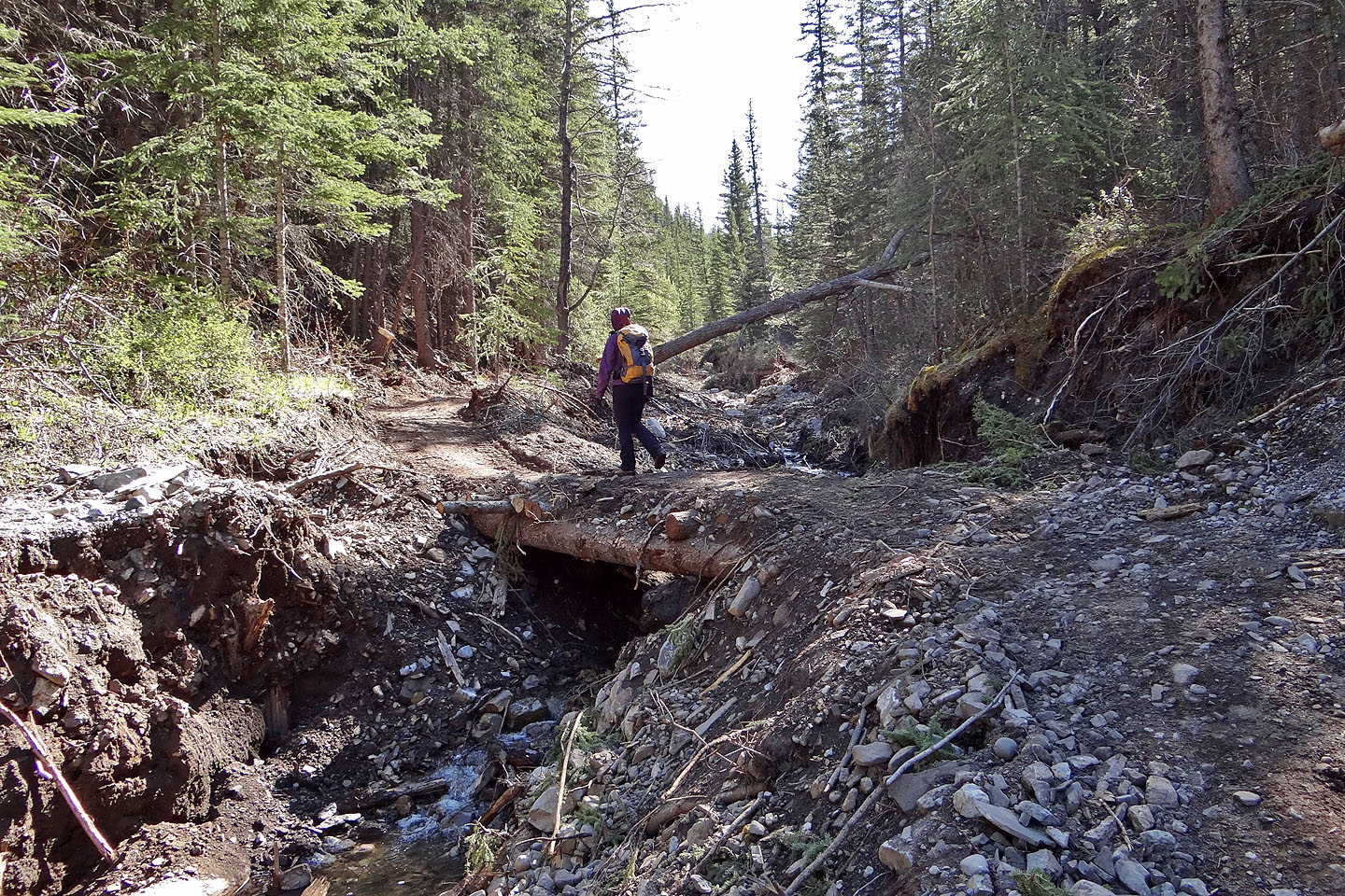
A new bridge is in place
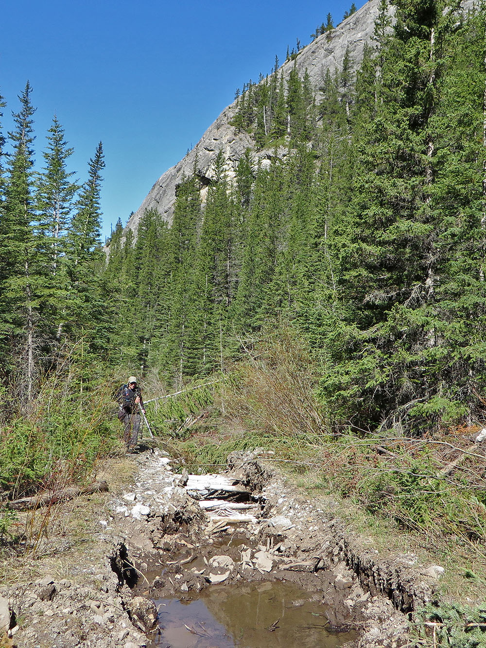
A new trail section was rerouted around this old, washed-out part
The trail appeared unaffected just before the campground

We almost missed the side trail at 329576. According to the guidebook,
there had been a pole stuck in the cairn.
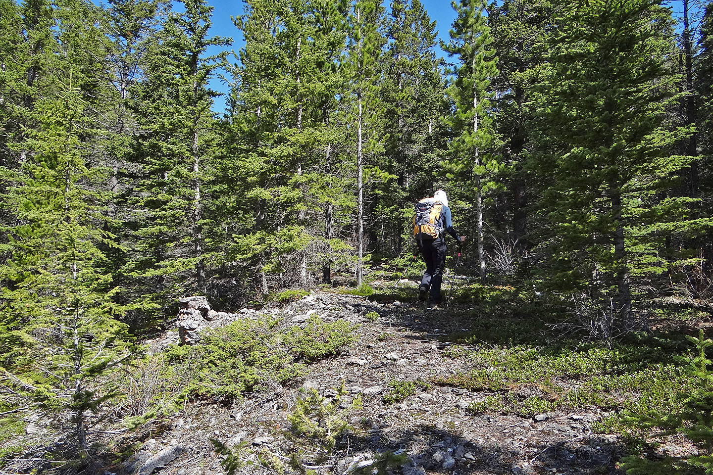
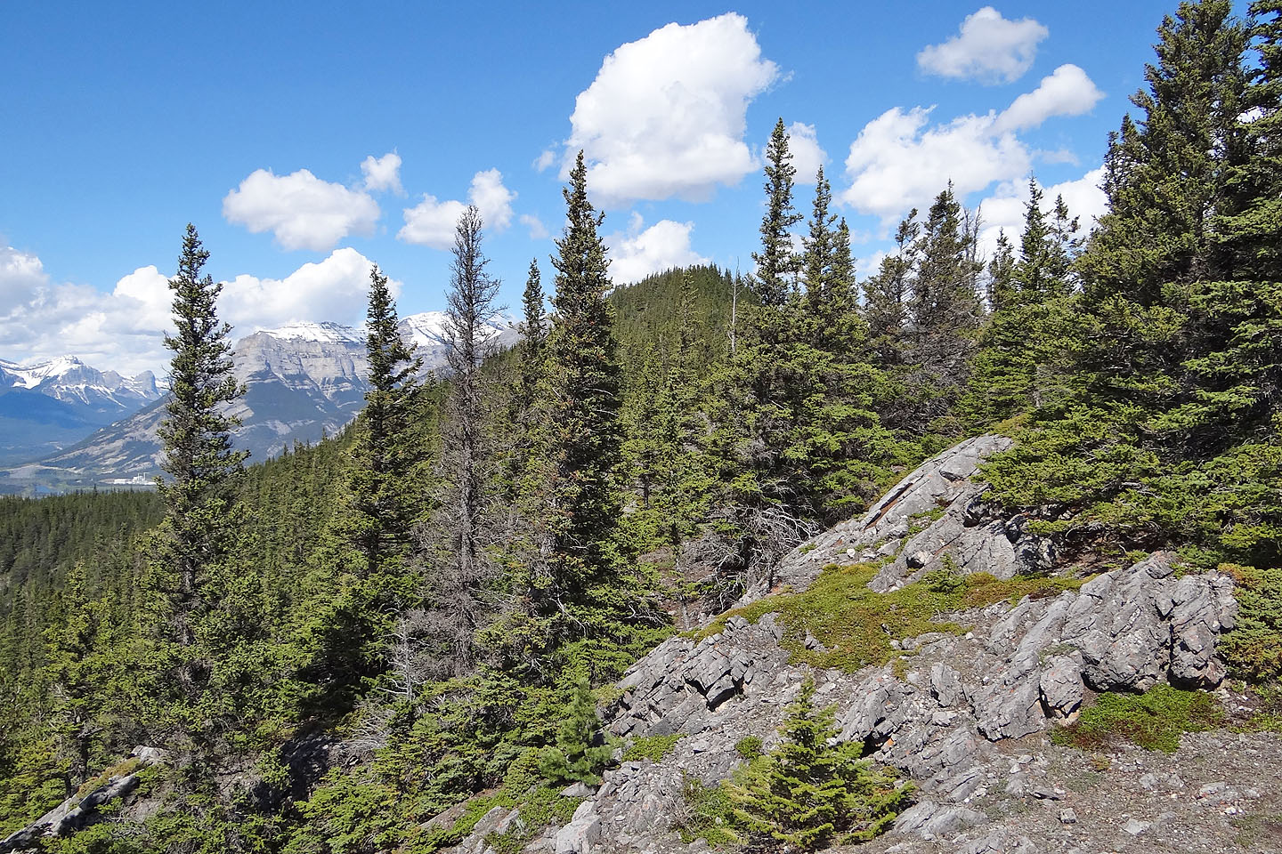
The trail eventually disappeared but a solitary cairn showed we were on track. The route follows
a narrow opening along a ridge.
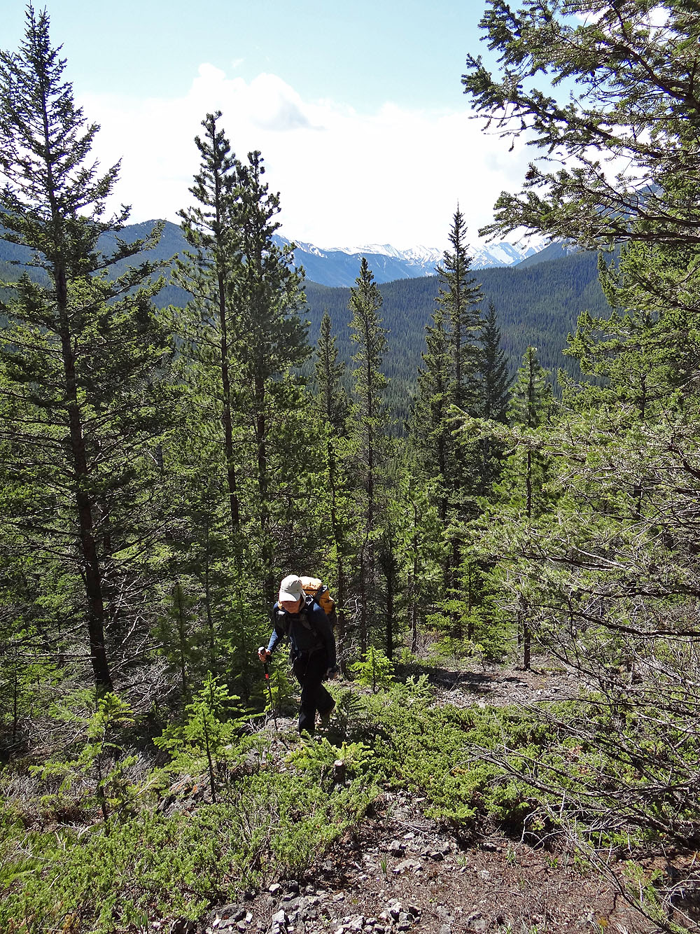
Looking back just before we reached the base of the summit ridge
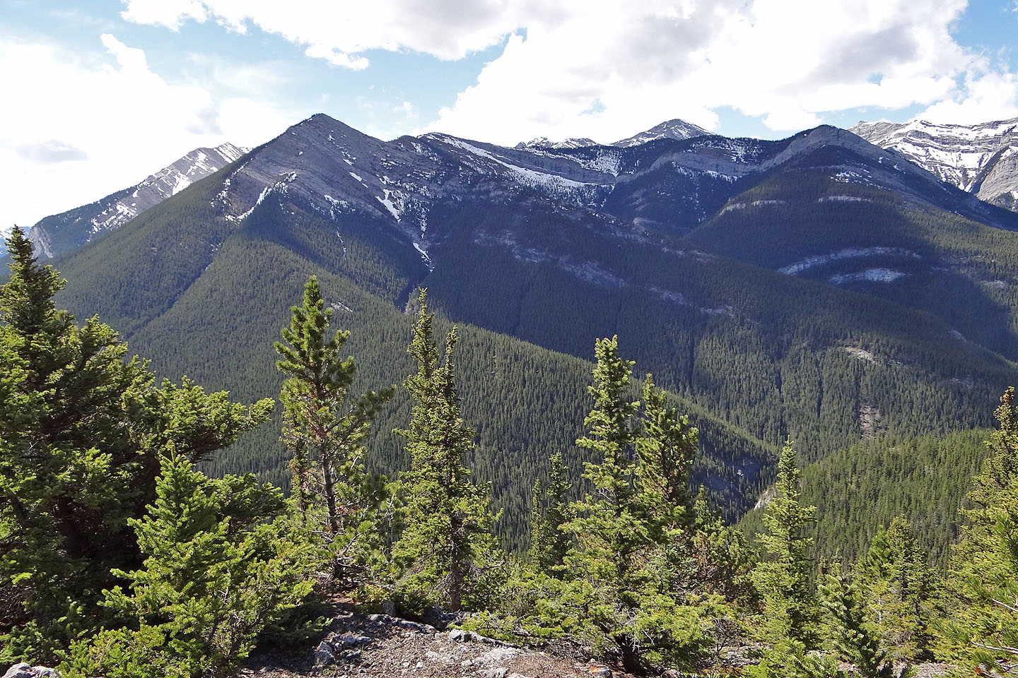
Looking toward the summit from the east end of the summit ridge
The horse-shaped ridge of Heart Mountain
Barrier Lake Lookout behind us (mouse over for a close-up)
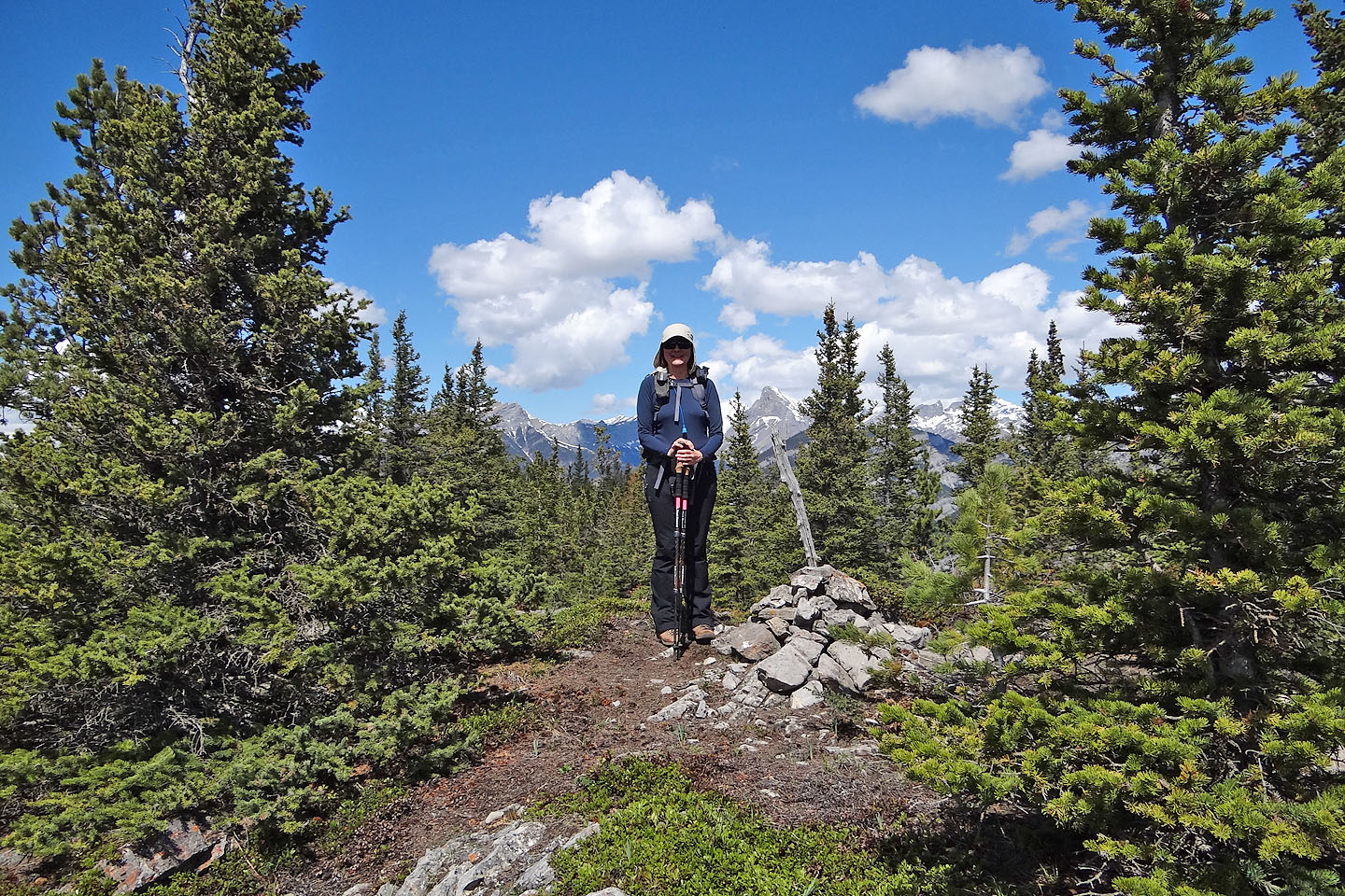
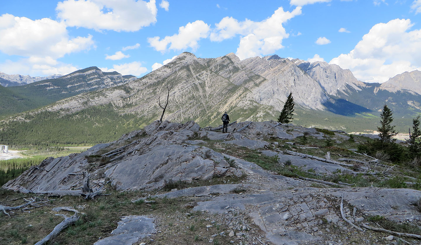
The summit cairn is actually 70 m before the summit
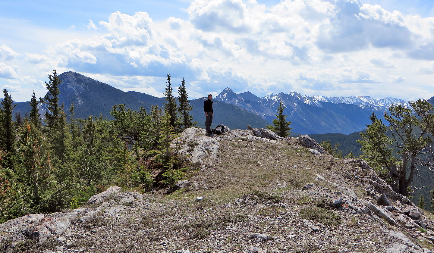
The summit
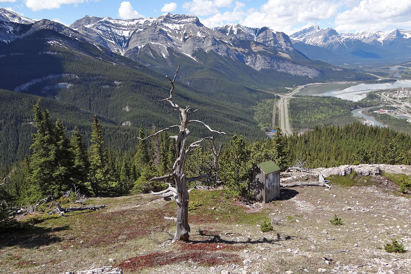
An equipment shed sits just below the summit
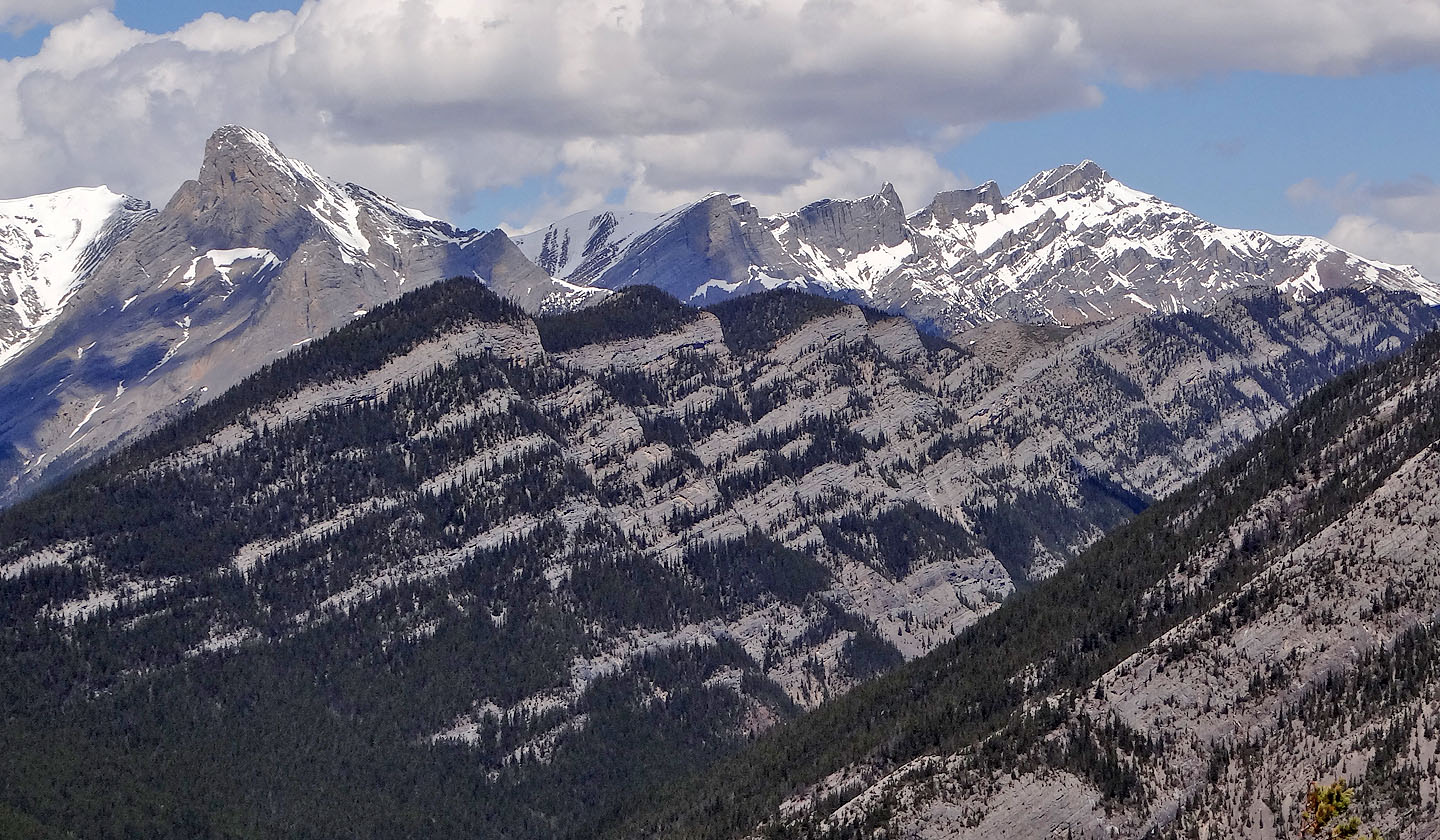
Exshaw Ridge underscores Mount Fable, Little Mythic Tower, Mythic Tower, Epic Tower and Mount Townsend
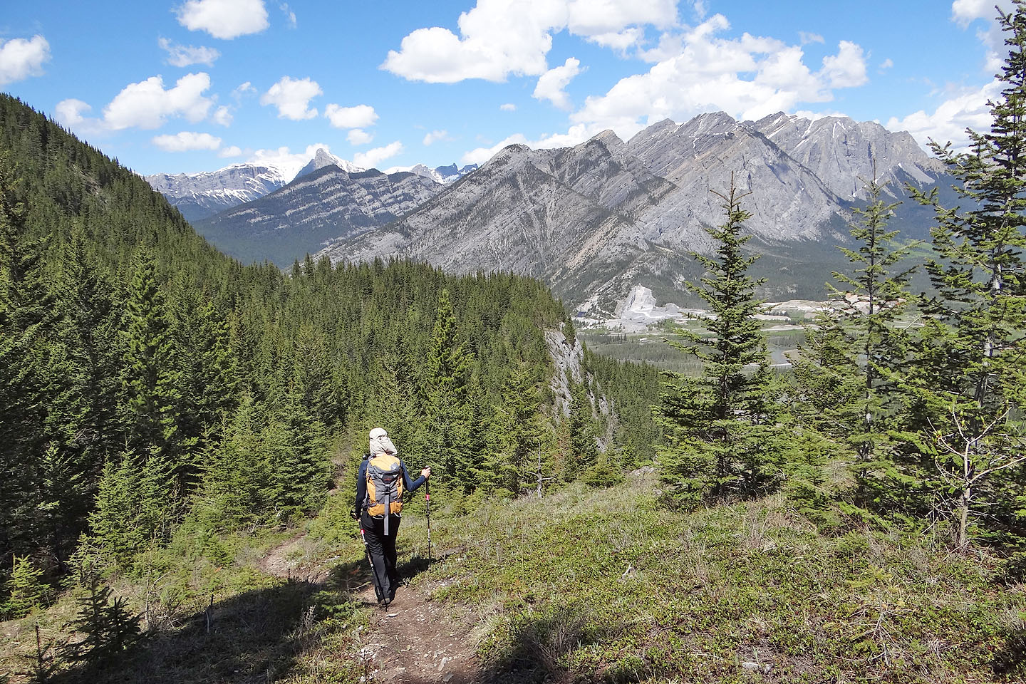
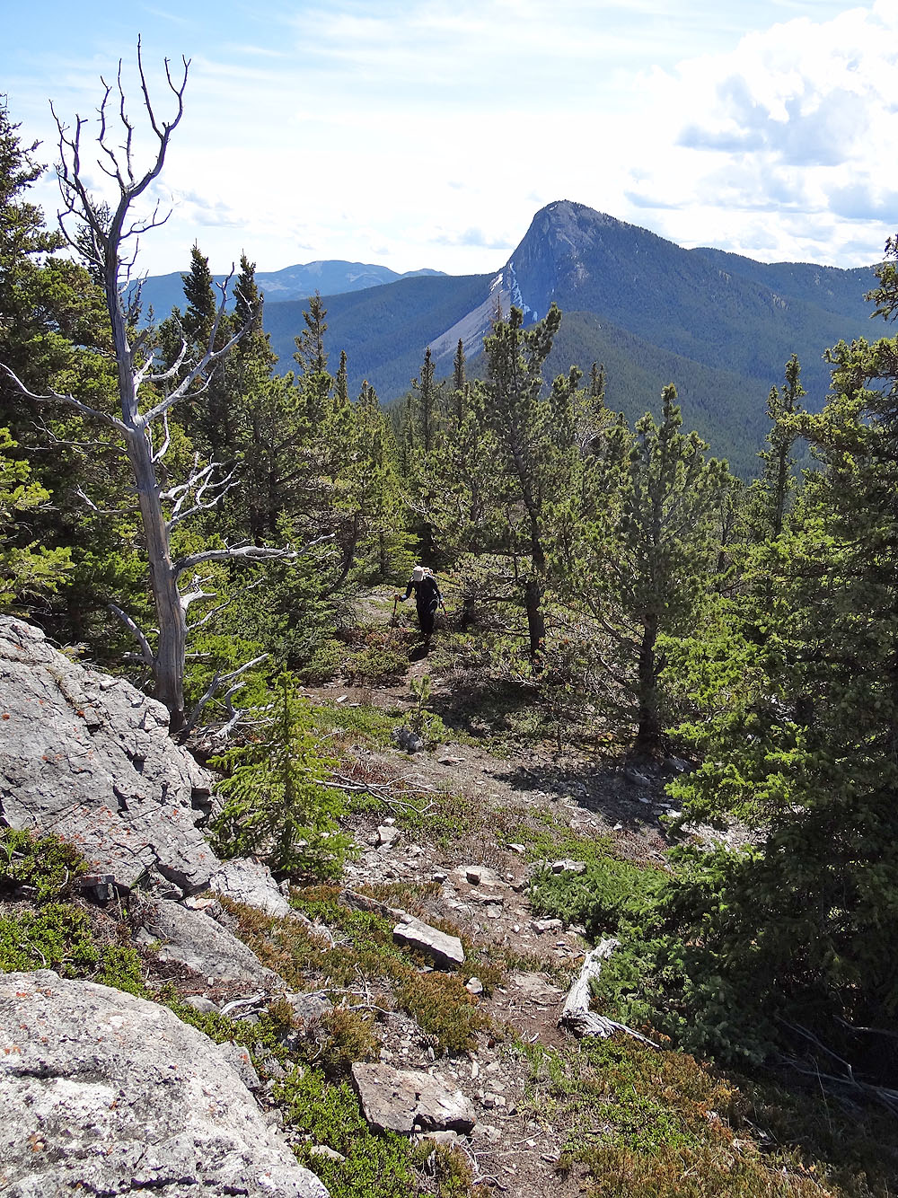
On Razor's Edge trail
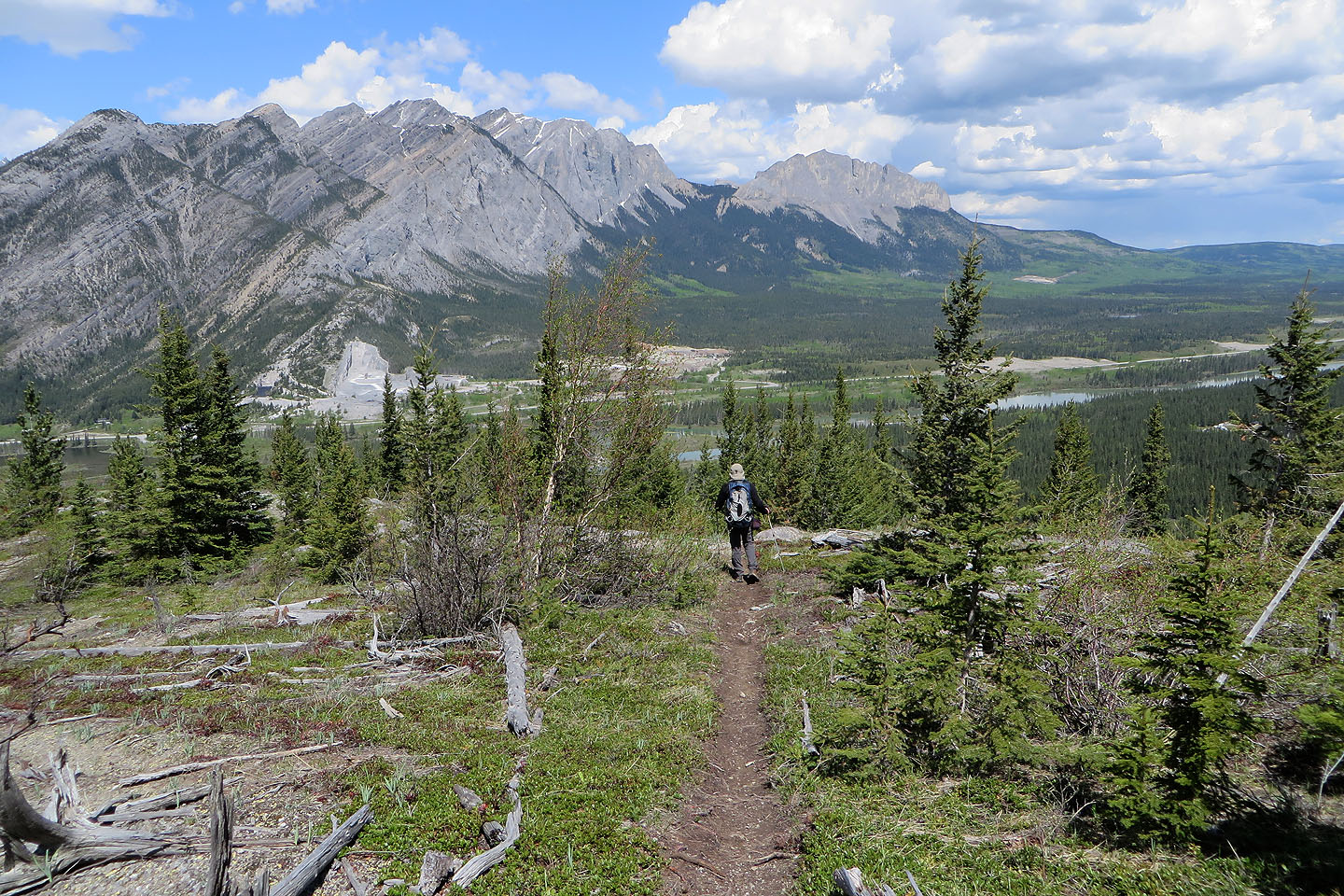
Familiar peaks ahead include Mount Yamnuska on the right
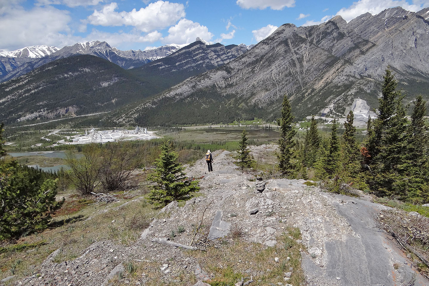
We enjoyed the hike down the open rock spine
The rock is a pleasant change from hiking on a trail

Looking back
82 O/3 Canmore