bobspirko.ca | Home | Canada Trips | US Trips | Hiking | Snowshoeing | MAP | About

Little Middle Kootenay Peak
Castle Provincial Park, Alberta
September 2, 2023
Distance: 16.5 km (10.3 mi)
Cumulative Elevation Gain: 900 m (2953 ft)
While perusing maps for new mountain experiences, I came across Little Middle Kootenay Peak. Named by Andrew Nugara, it was easy to determine a route. Follow Middle Kootenay Pass trail to the east ridge and hike up the mostly open ridge to the summit. Jonathan, Bernadette and Zora joined Dinah and me for this trip.
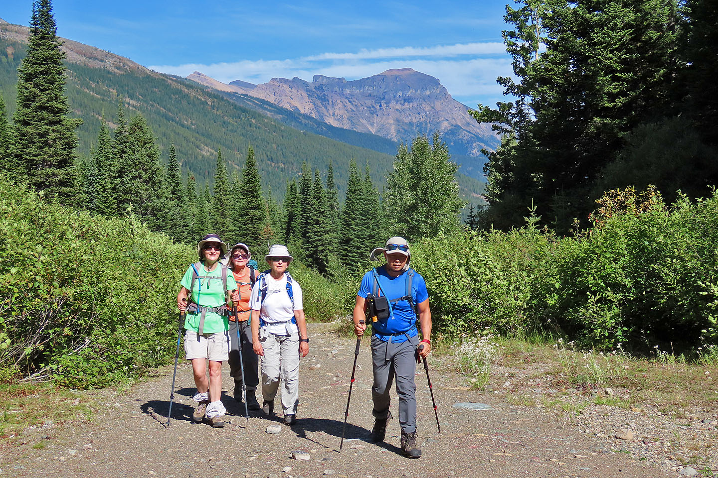
Starting from the parking lot at Castle Mountain Resort, we walked up the trail, a road now closed to vehicles. The nearly 6 km approach is long and mostly lined with trees, but the wide road allowed easy conversation among the five of us.
At 5.5 km the road ends and a rough, narrow trail takes over. After hiking 300 m on the trail, we exited and started up a steep, bushy slope. Our climb slowed as we stopped to pluck huckleberries. I think they were huckleberries, as they were sweeter than blueberries.
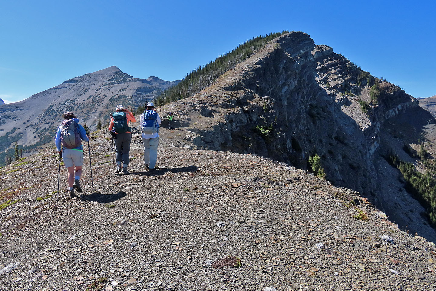
A short time later, the trees disappeared and the bushes thinned leaving a gentle open ridge ahead. The false summit appeared, and soon we could see the true summit behind it.
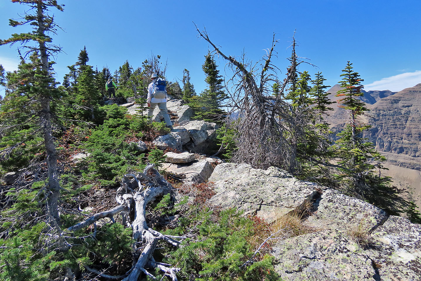
Dinah stopped at the false summit while the rest of us continued up the open ridge. On the last 100 m hike to the summit, we followed a cliff edge crowded with stunted trees. The short trees and jumble of rocks left the top of Little Middle Kootenay Peak a bit cramped but allowed fine views of the surrounding tall mountains. The summit register revealed Andrew Nugara and Doug Robson had been here three weeks earlier. We took photos and returned to Dinah on the false summit.
We retraced our steps down the ridge but didn't drop down the steep slope we had ascended. Instead we took a gentler route down the right side of the ridge, although it meant a longer walk back down the monotonous trail. As we trudged back, we grumbled, wishing we had brought bikes. However, we appreciated the change of scenery and solitude the area had to offer. We didn't miss the traffic and the crowds we were likely to encounter in other mountain parks on a Labour Day Weekend.
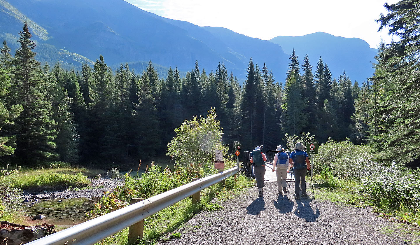 The hike begins on a bridge crossing West Castle River
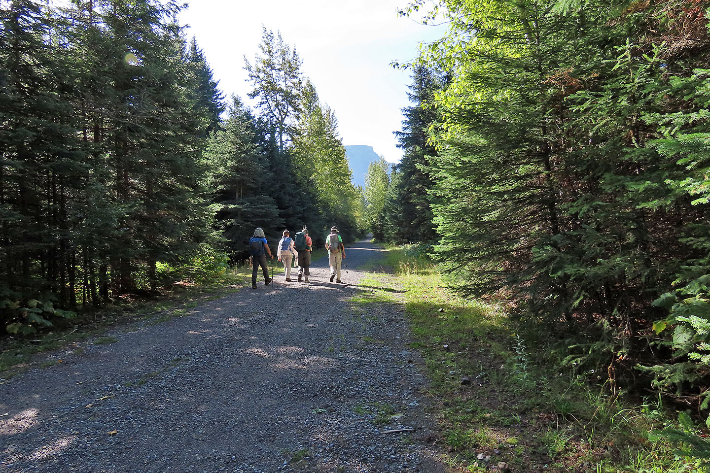
The trail is broad and smooth for the first couple of kilometres
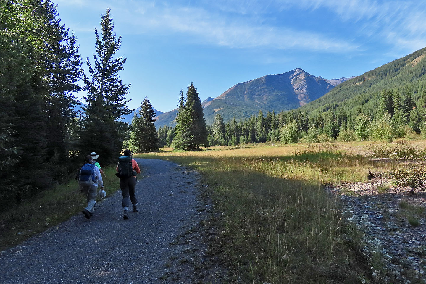
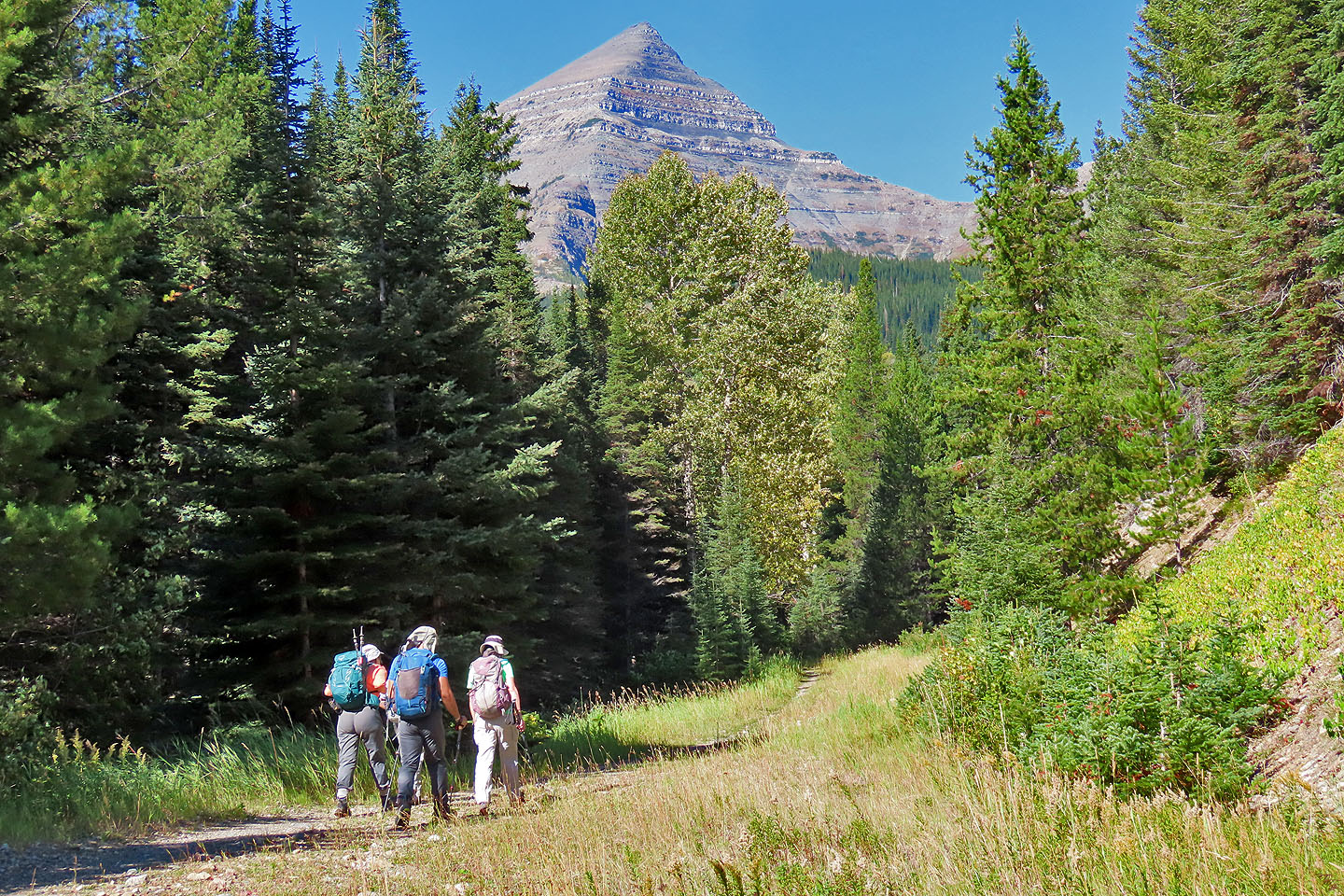
After walking 2.4 km, Little Middle Kootenay Peak came into view (mouse over for a close-up)
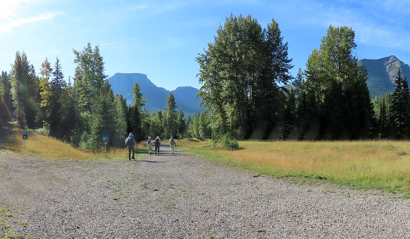
A couple of minutes later, we reached a fork. Ahead is another bridge.
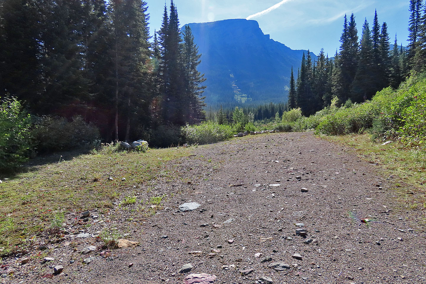
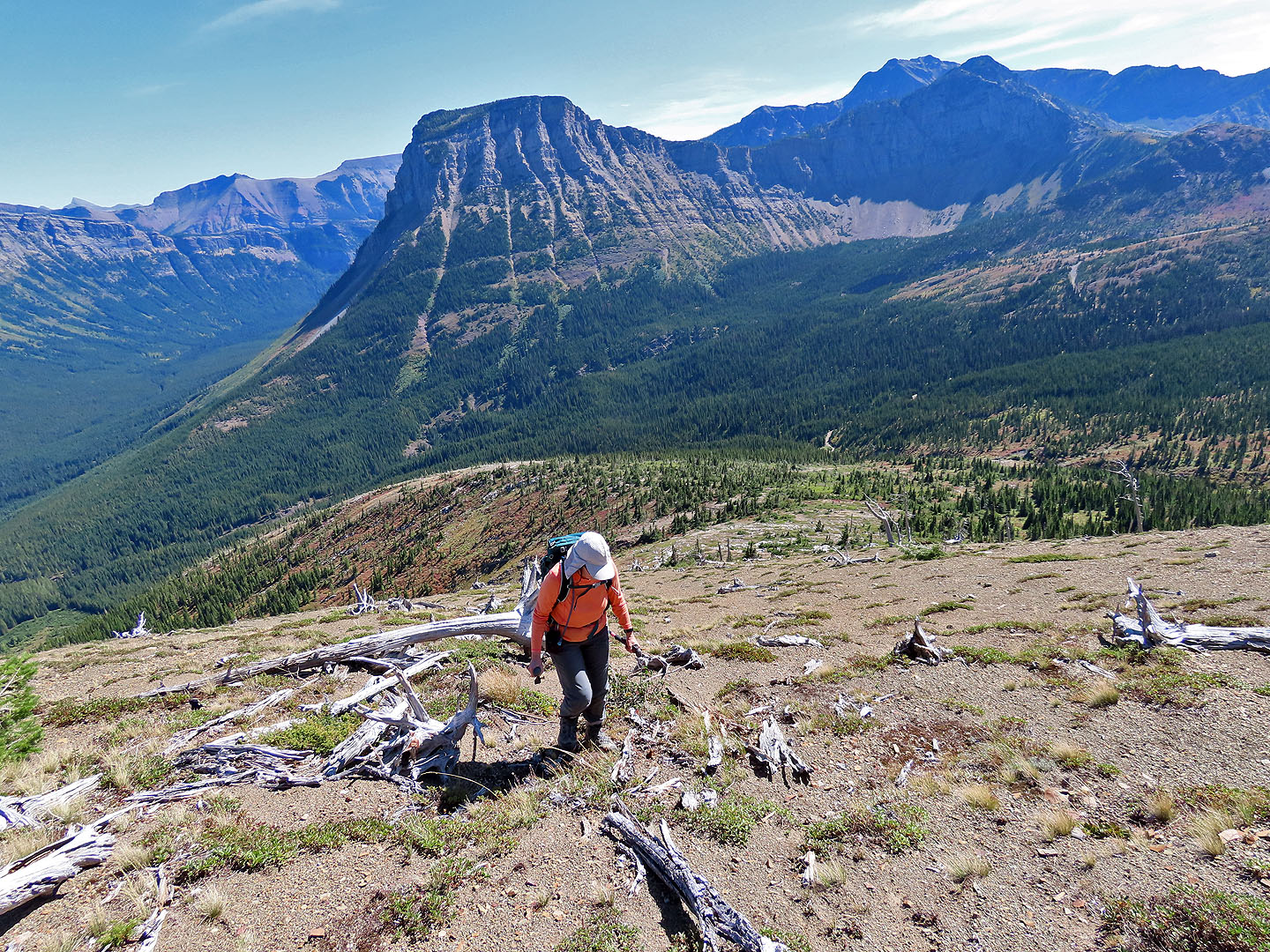
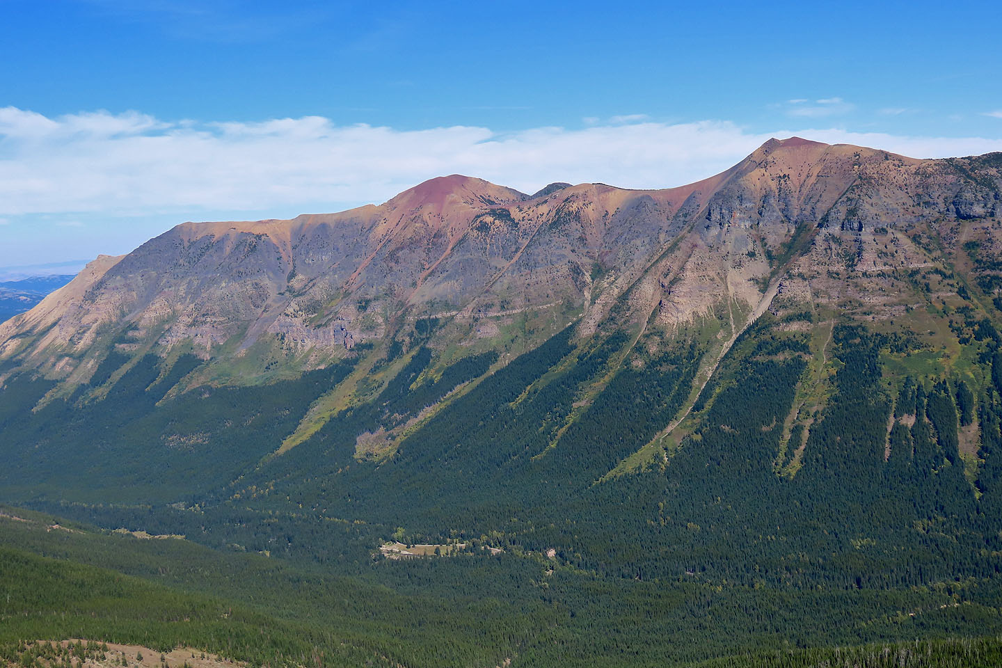
 Mount Haig showing the descent ridge
Looking back at Syncline Mountain
 The road ends and a rough, narrow trail begins after this
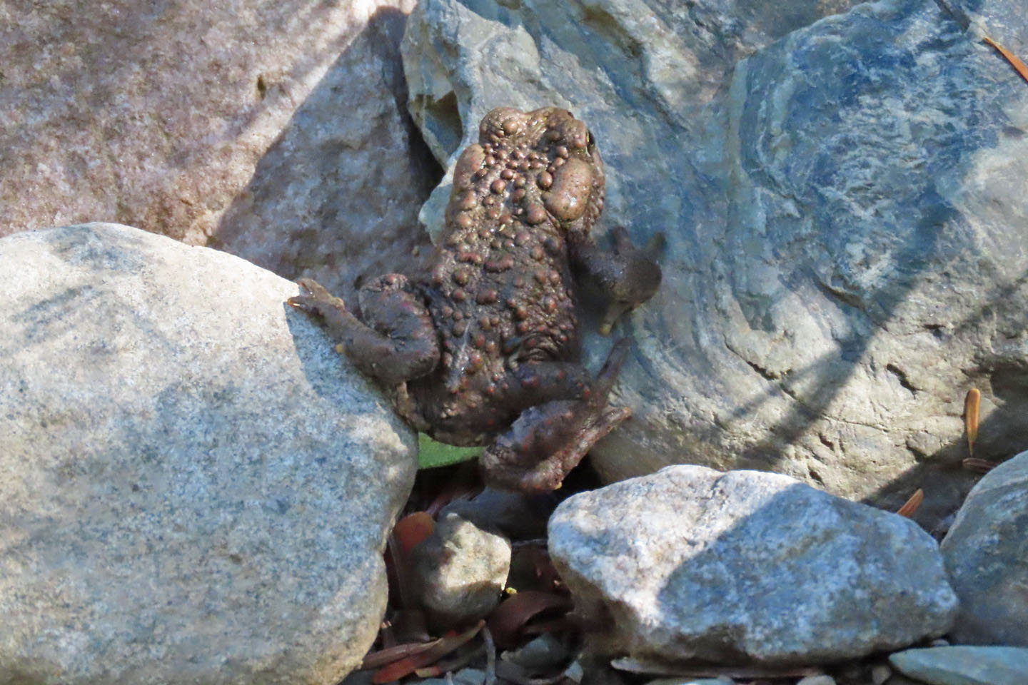
A toad hopped across the trail
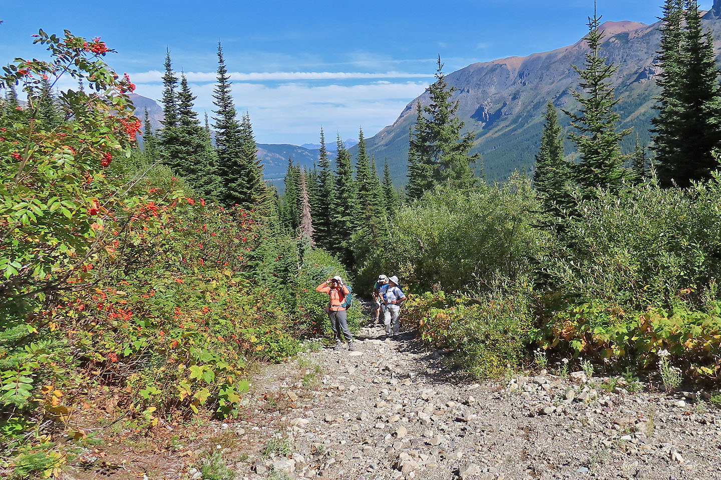 300 m after the end of the road, we looked for a place to start our ascent
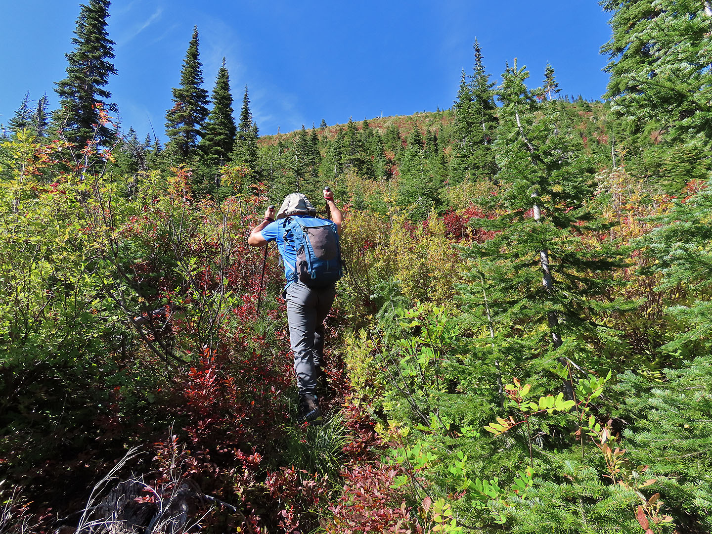 We had no trouble bushwhacking up the slope
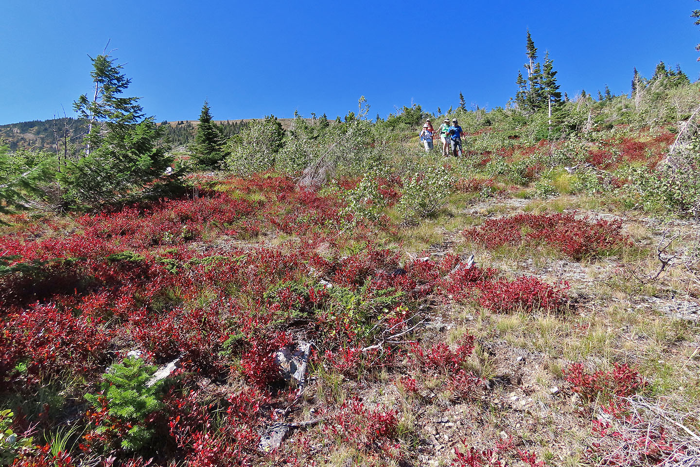
 Looking back after clearing the trees. The red bushes are huckleberries (mouse over).
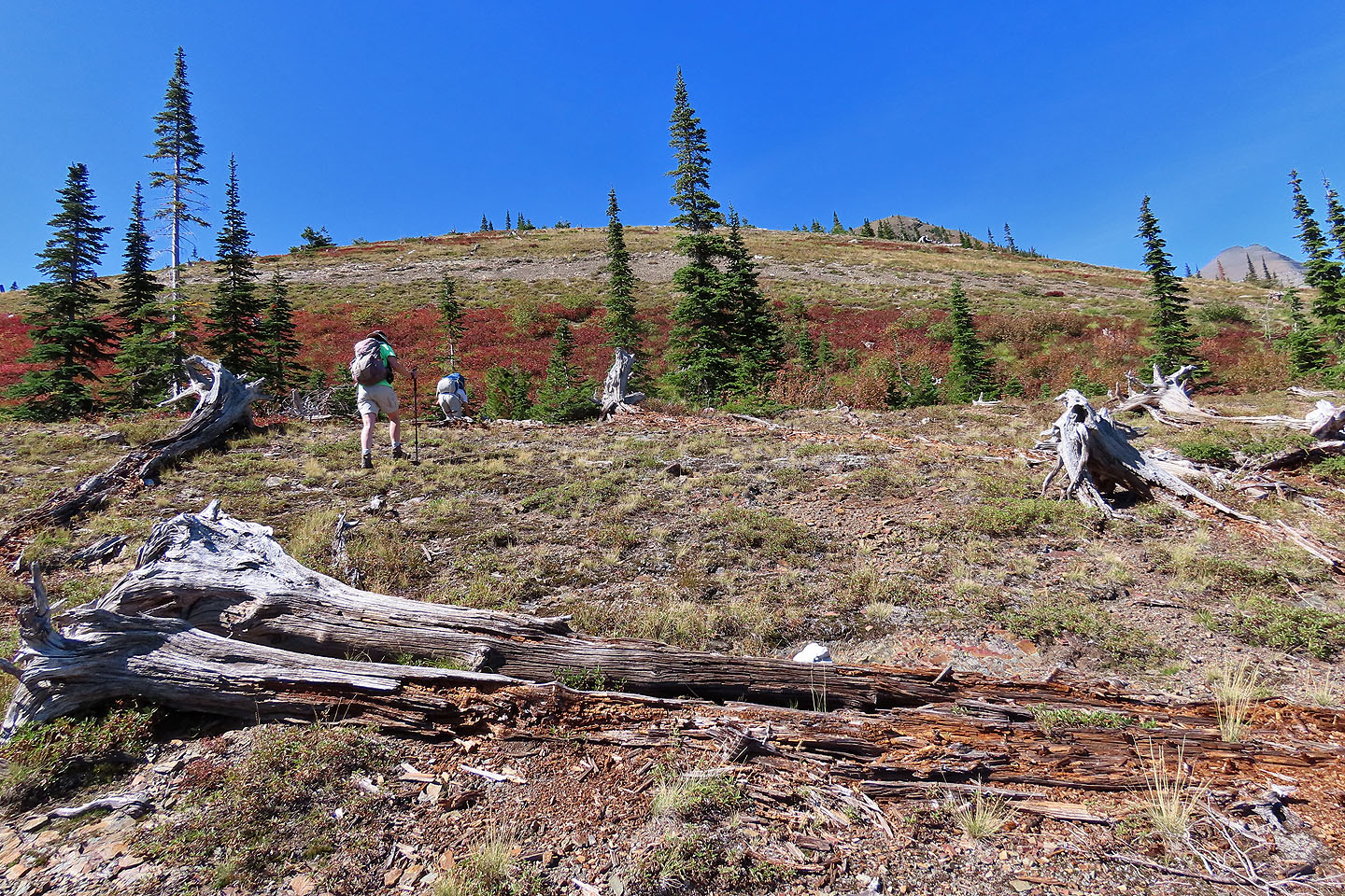
The false summit peeks above the slope
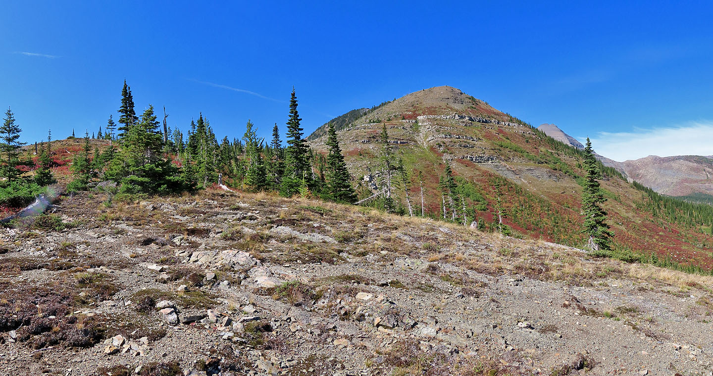 The true summit appears behind the false summit

We made our way to the bottom of the open slope
 Jonathan reaches the open slope
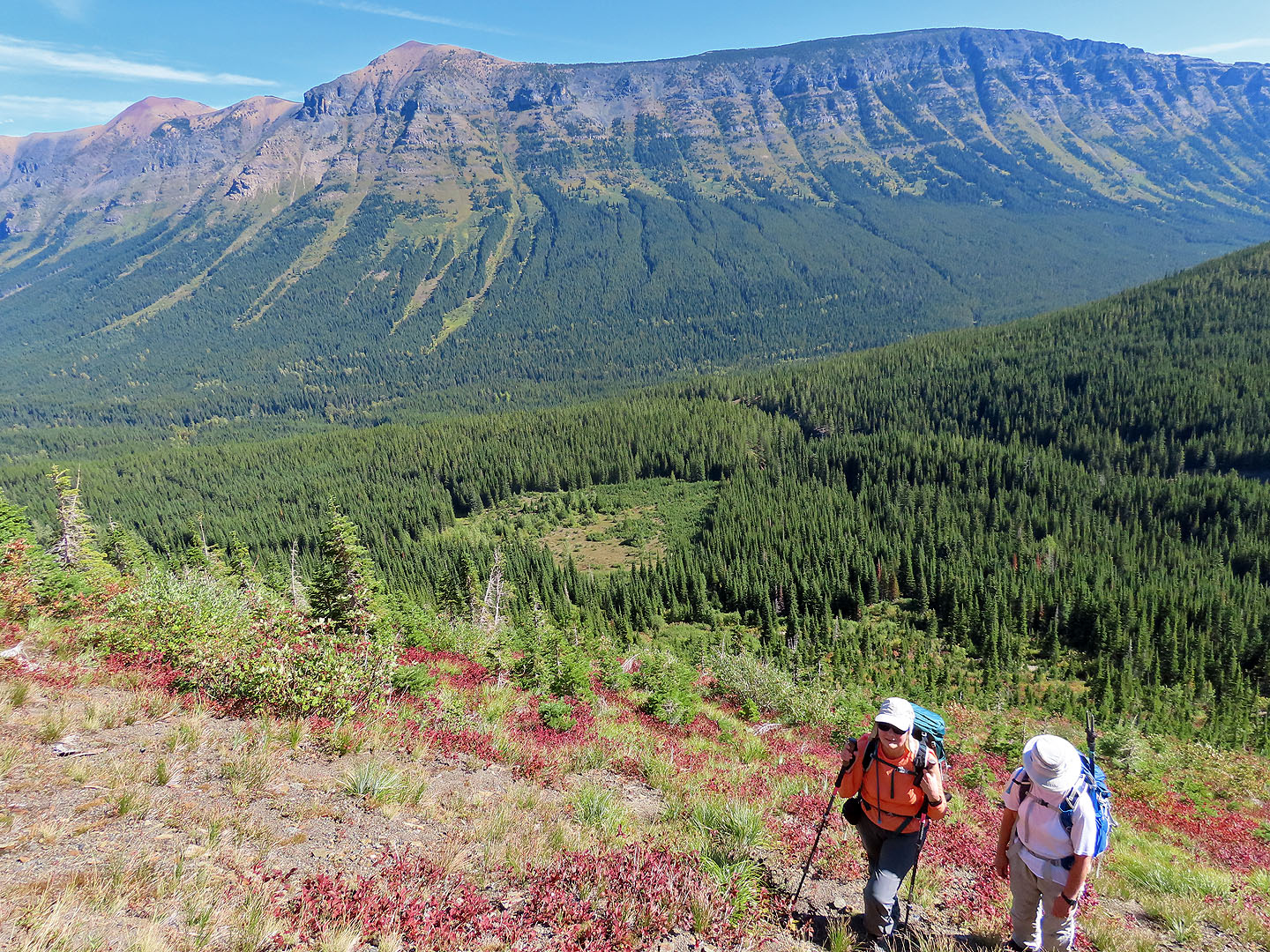
 Looking back at Rainy Ridge
Continuing to the false summit
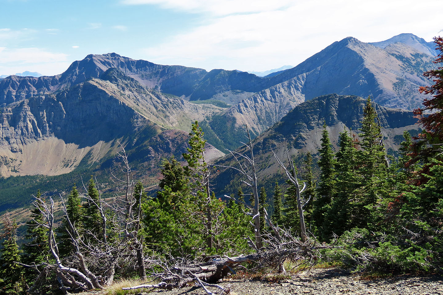
Mount Haig and Gravenstafel Ridge
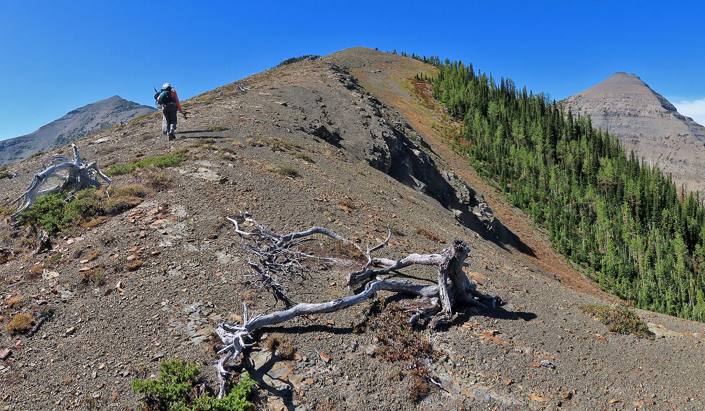
The true summit is ahead. Middle Kootenay Mountain is left.
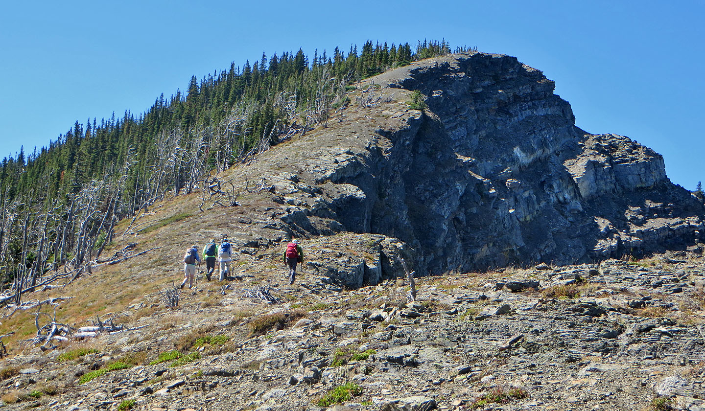 Continuing to the summit
 Looking back along the ridge
The summit is a short distance away
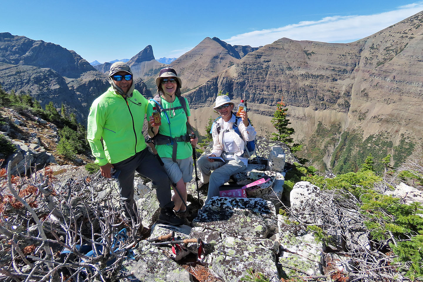
Jonathan, Bernadette and Zora with bottles from the summit register box
 Heading back down
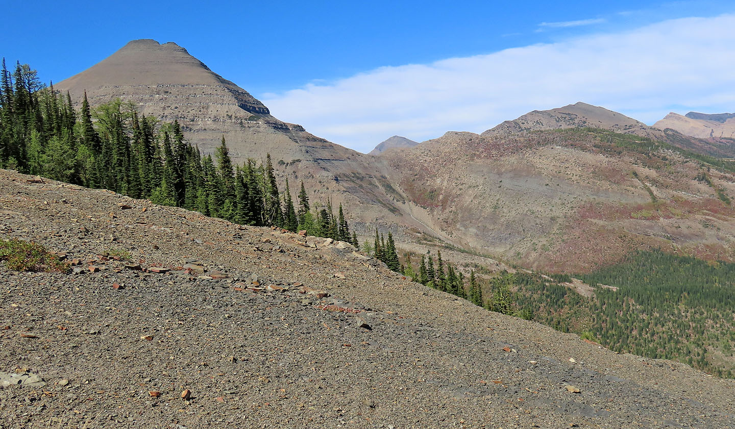
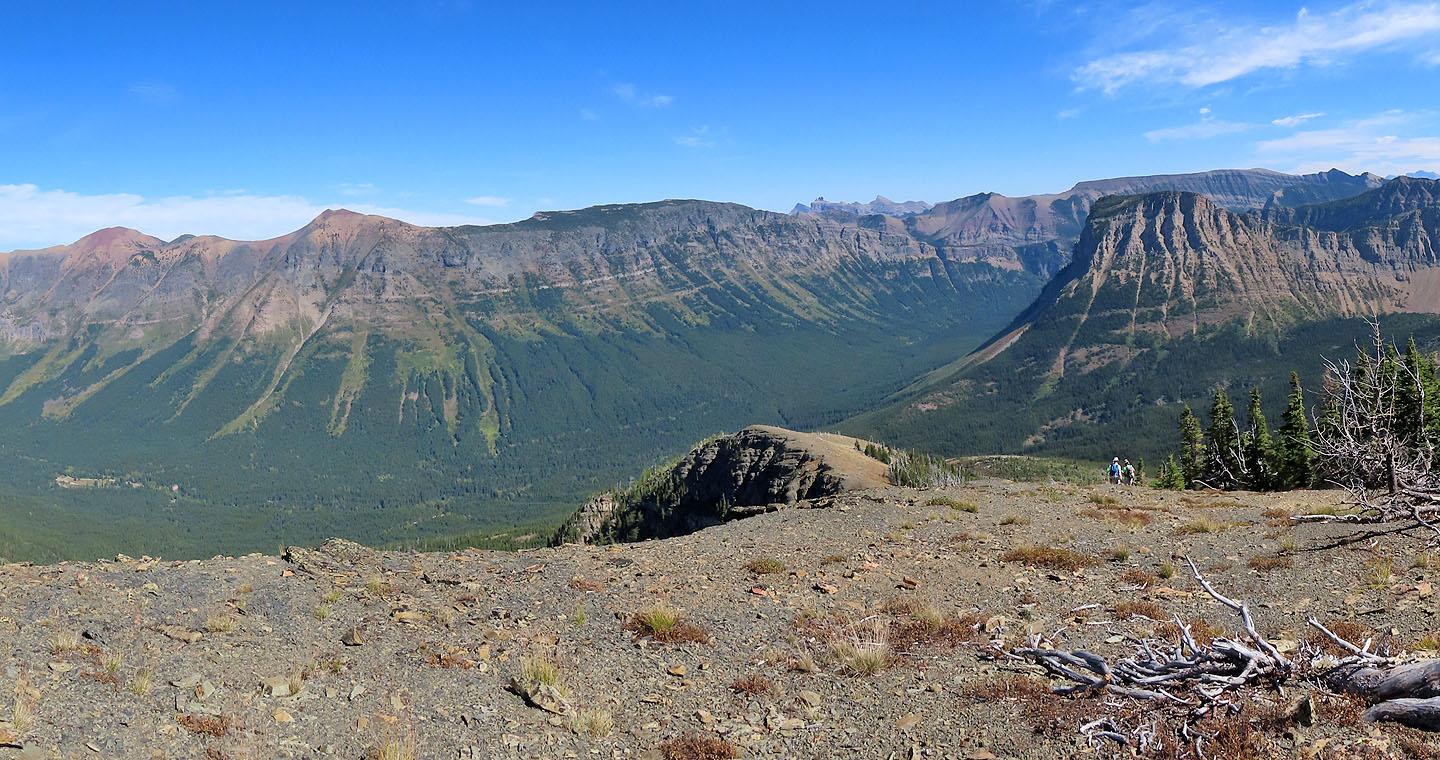
Southfork Mountain, The Amoeba and Barnaby Ridge
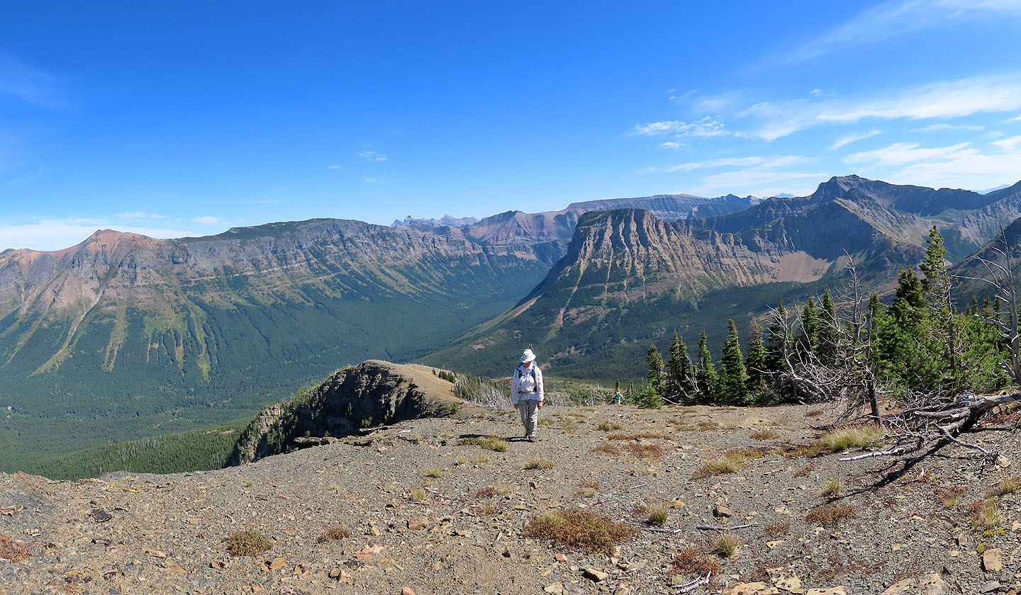
 Looking down at Middle Kootenay Pass (centre)
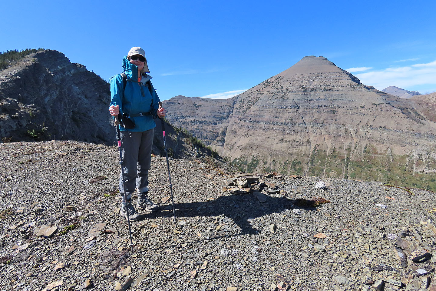
Dinah stops at a cairn on the false summit
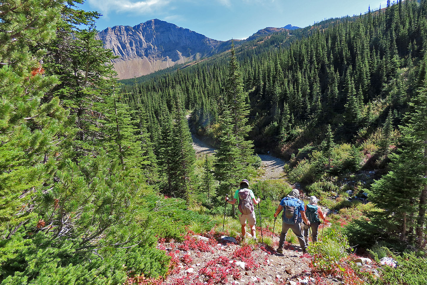
 Soft scree provided a fast descent. We'll head to the trail seen in the centre.
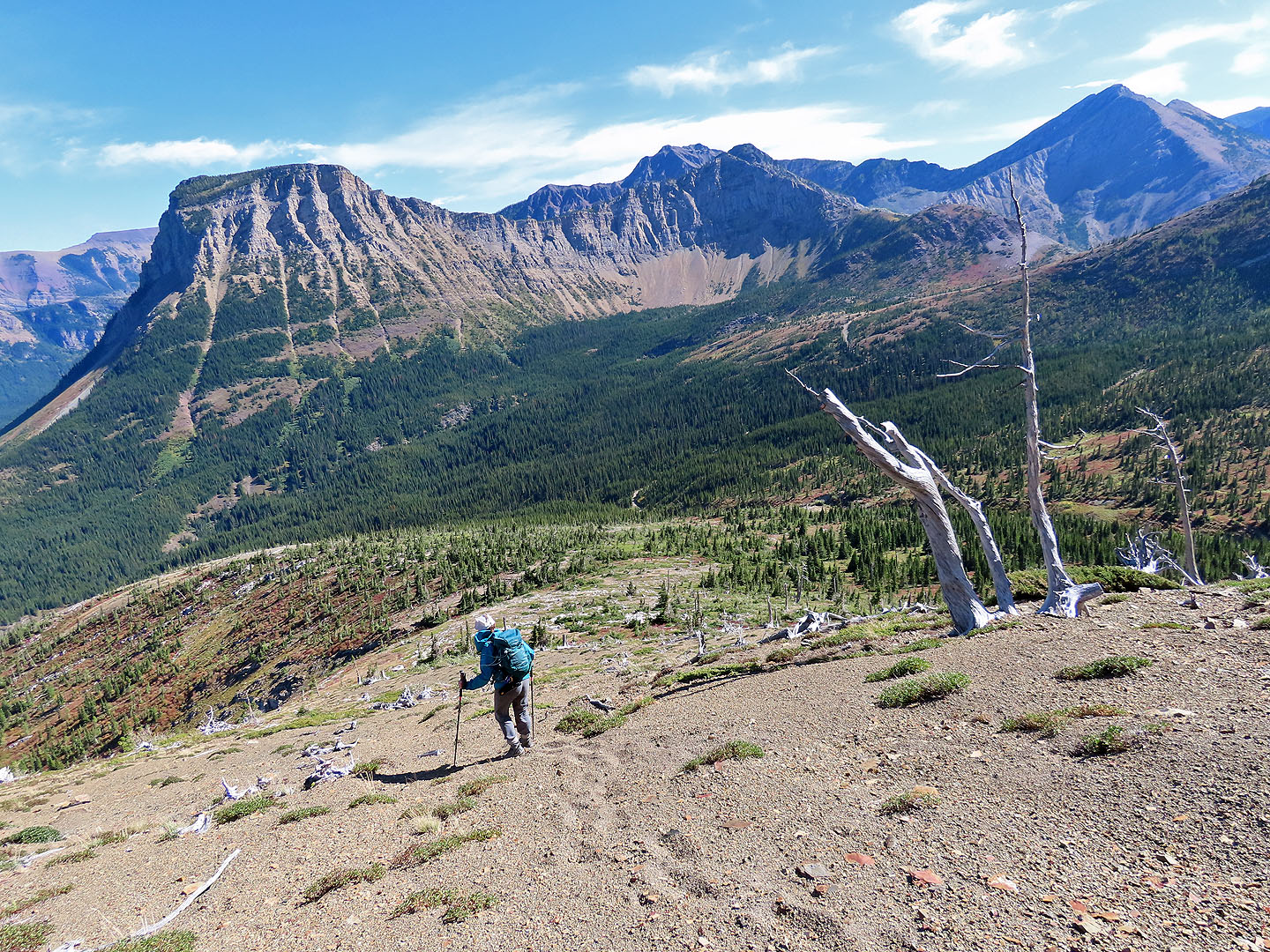
 Descending the semi-open slope to the trail
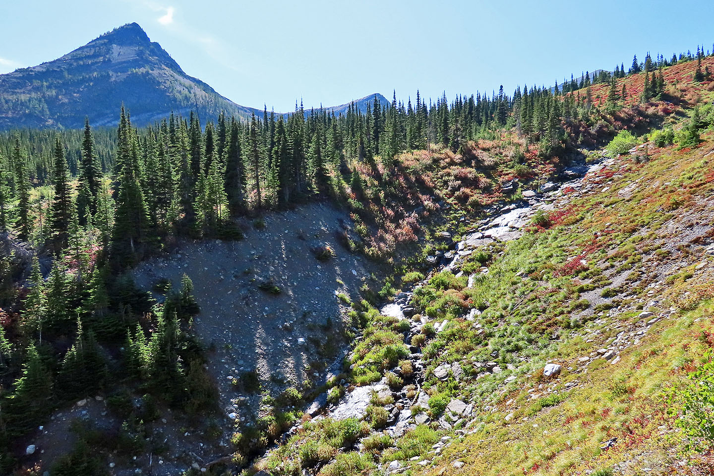 Hard to tell because of the glare, but there was a lot of water cascading
 Dropping down to the trail
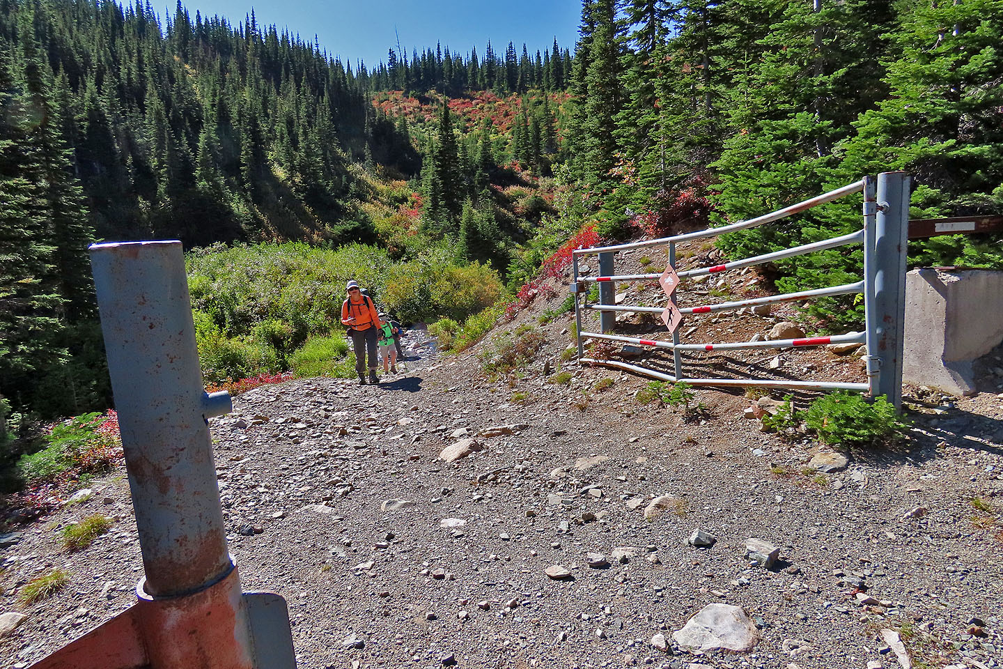
Back on the trail
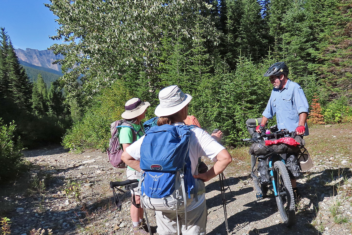 We stopped to talk to a mountain biker who was heading to a cabin

82 G/8 Beaver Mines