bobspirko.ca | Home | Canada Trips | US Trips | Hiking | Snowshoeing | MAP | About
Graycap
aka Greycap
Red Rock Canyon NCA, Nevada
April 27, 2010
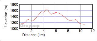
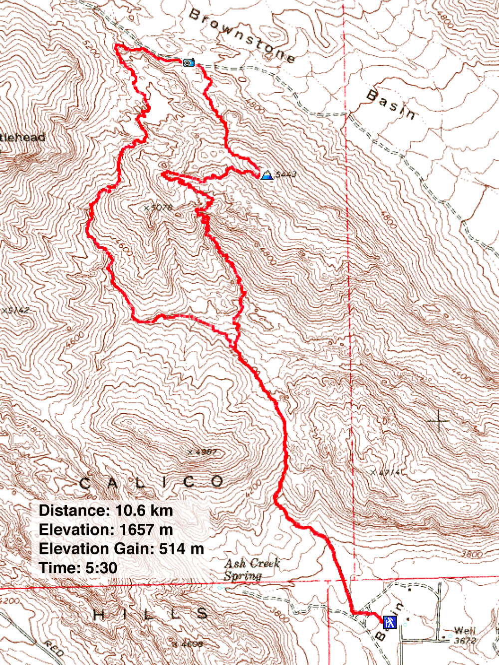
Distance: 8.6 km (6.6 mi)
Cumulative Elevation Gain: 719 m (2359 ft)
Once again, Dinah and I joined Shin and his friends Marianne and Andy to ascend a peak in Red Rock Canyon. Graycap isn't one of the highest peaks in the area, but it's no slouch for scenery.
Our route began at Calico Basin and wound its way around the base of Kraft Mountain before going to the top of Graycap. Nor did the trip end there. Shin took us down the other side of Graycap to Brownstone Wash to show us petroglyphs. After the petroglyphs, we climbed over a ridge and made our way back to the trailhead. To us, the route was a maze so we were grateful to have Shin guide us.
KML and GPX Tracks
Shin's Photos
Hiking up to the saddle
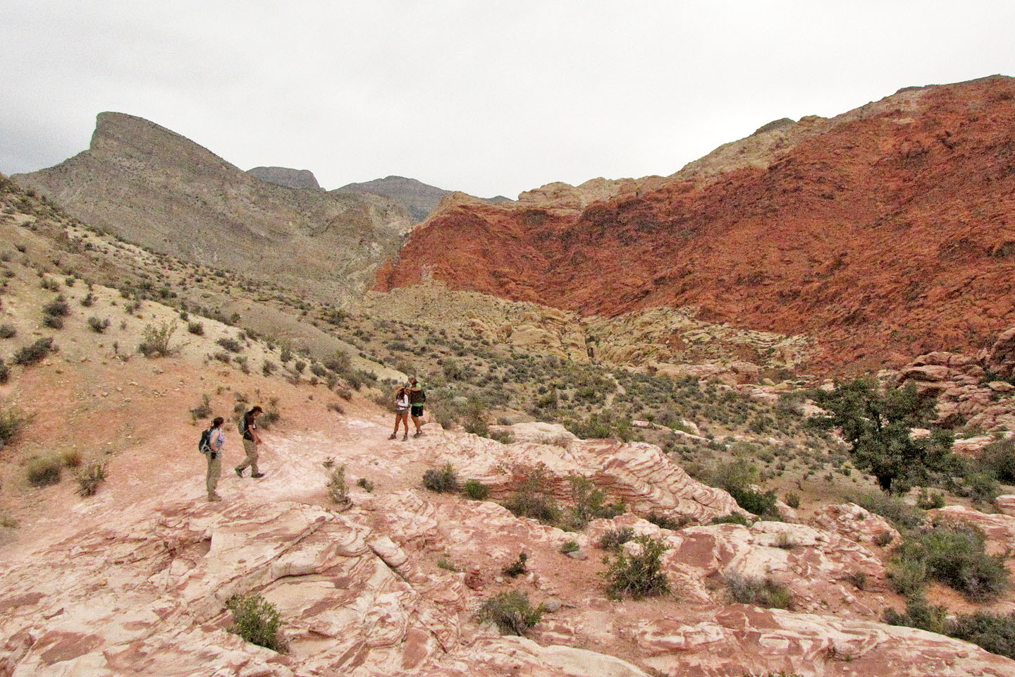
After the saddle, we dropped down and climbed the white and red rocks ahead
Starting up the white rocks
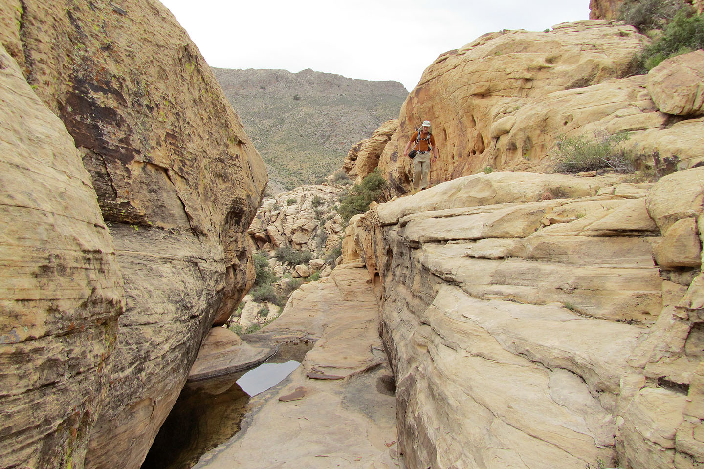
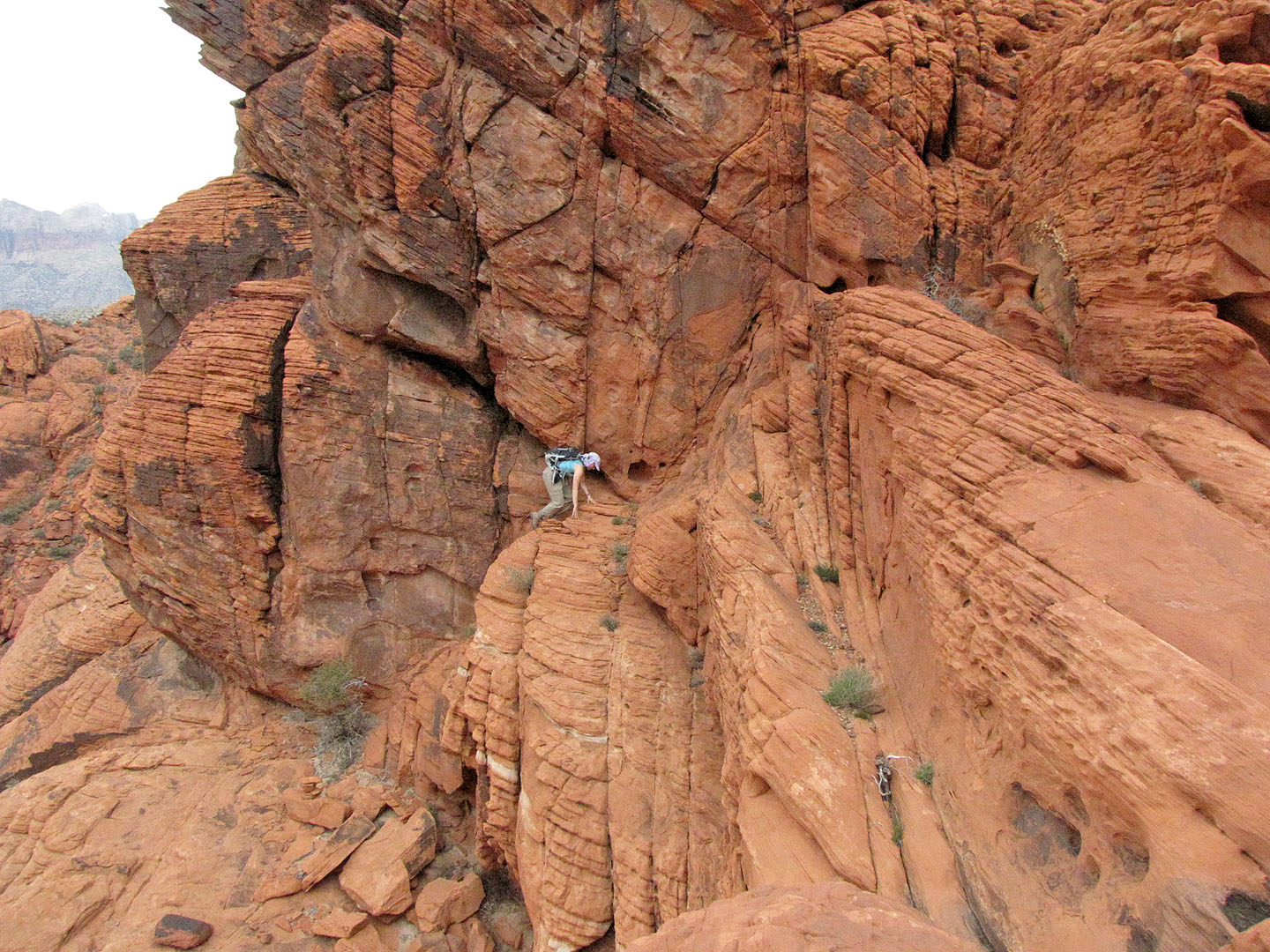
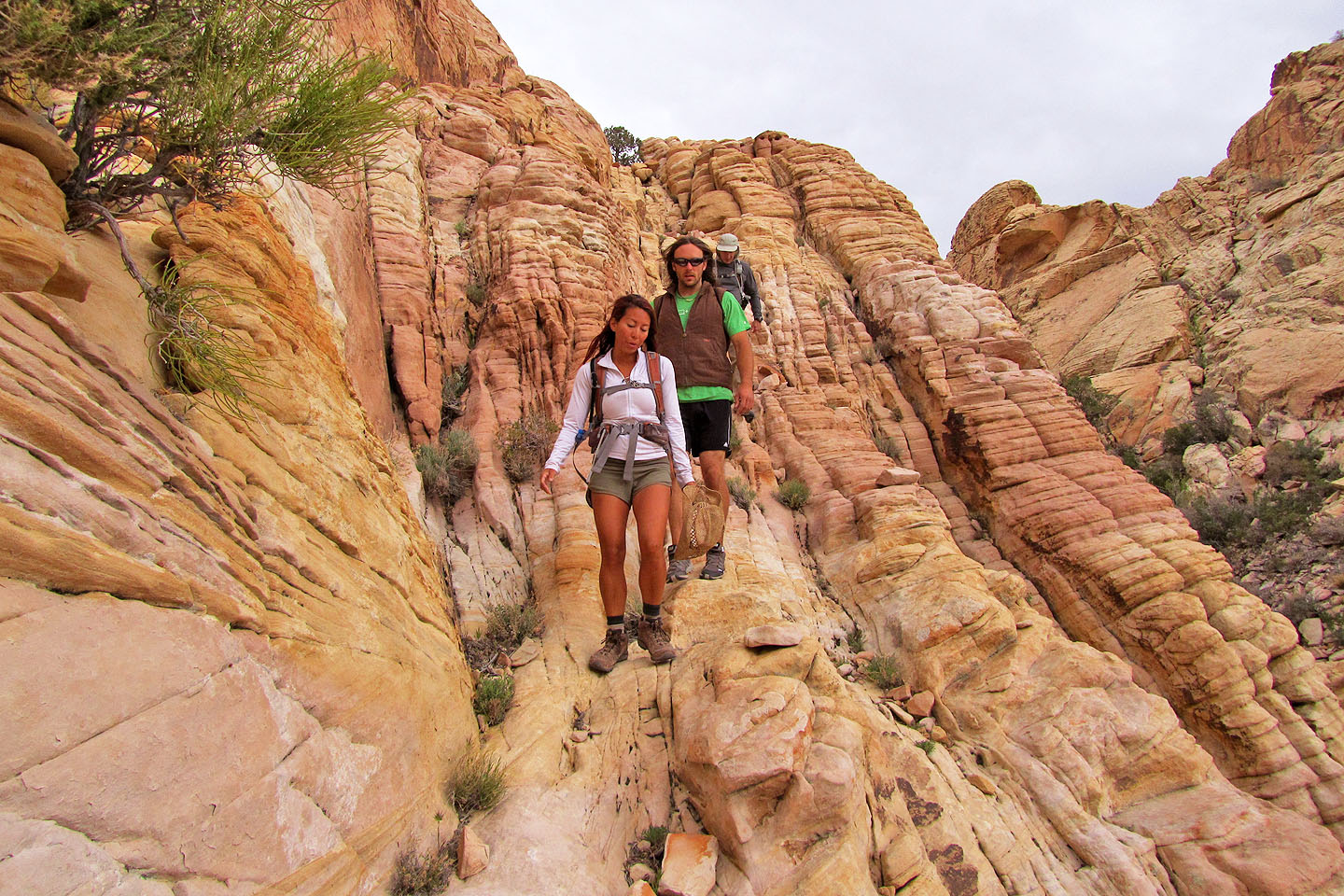
Going along a ledge
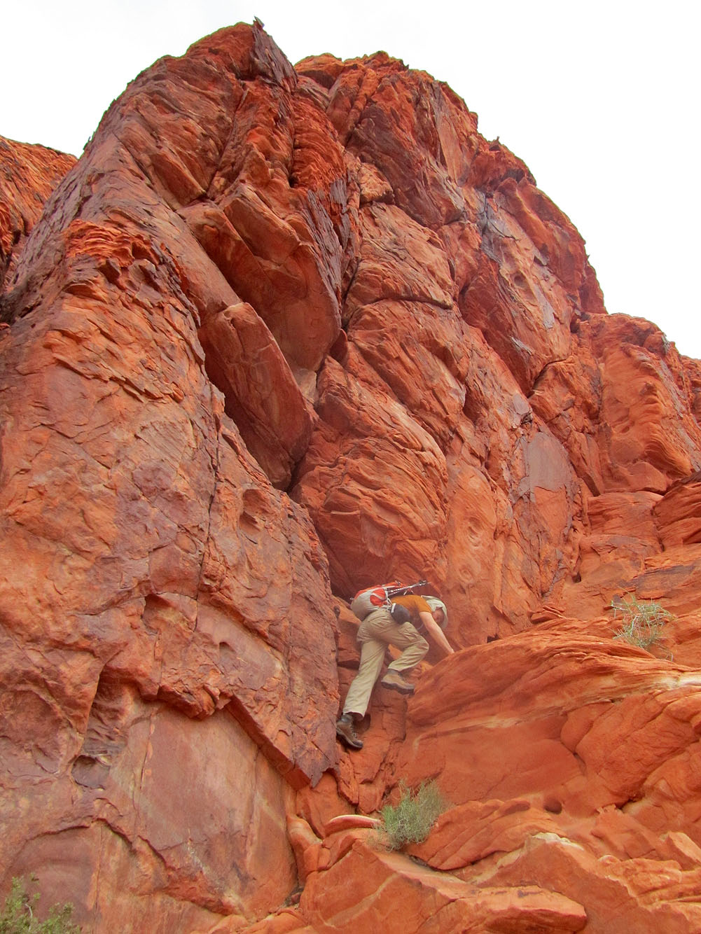
Following a tenuous ledge
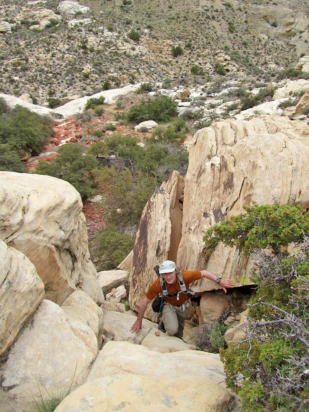
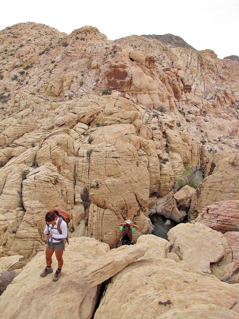
We made our way up boulders
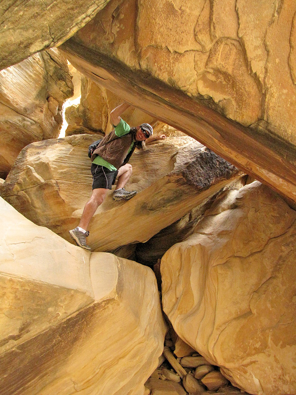
Andy climbed through an opening
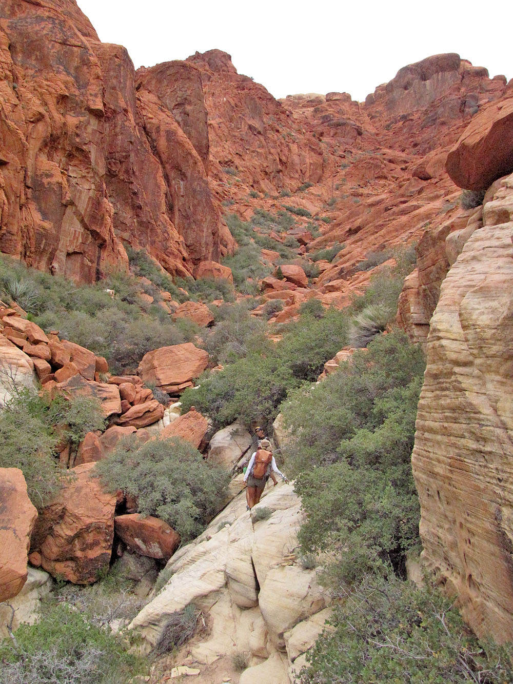
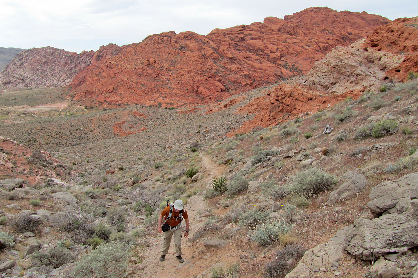
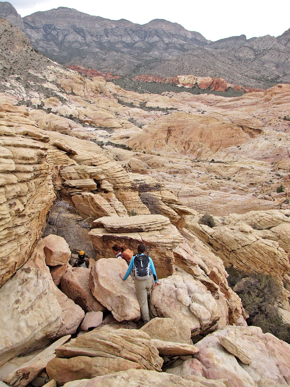
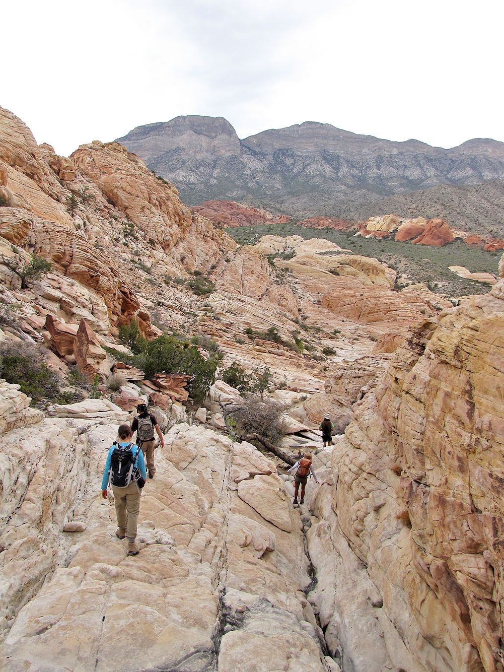
Heading into a red sandstone canyon
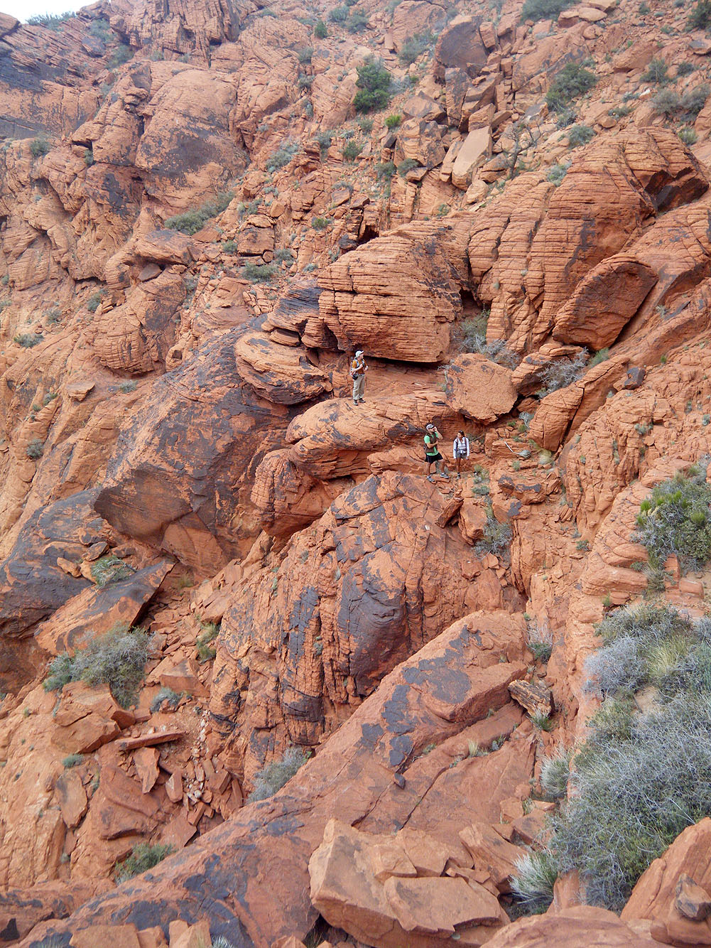
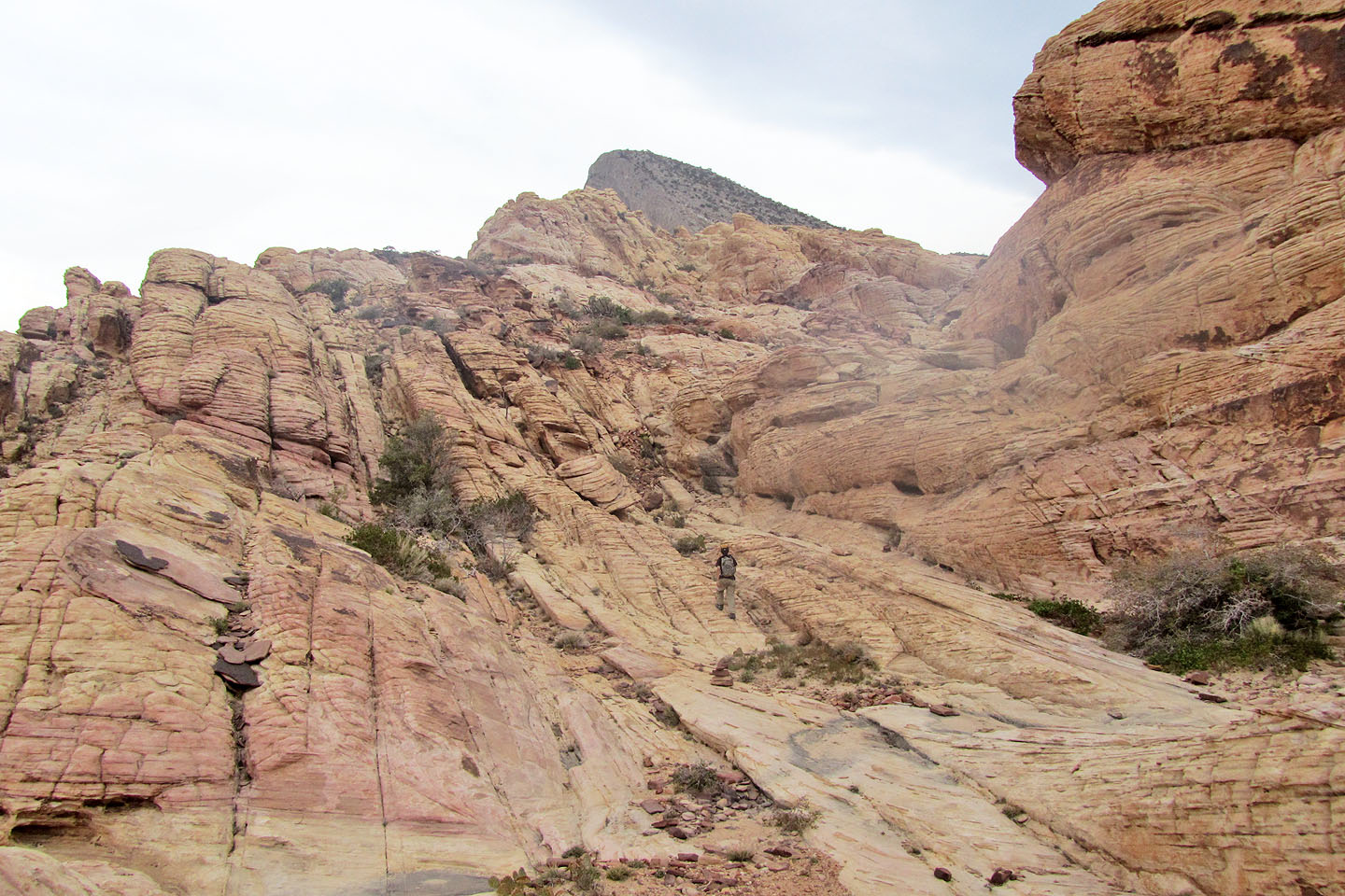
Hiking on the red rocks
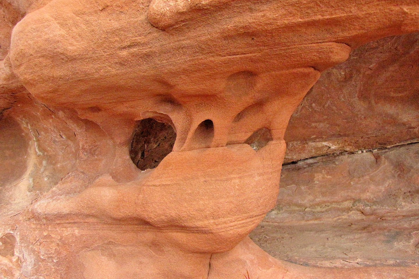
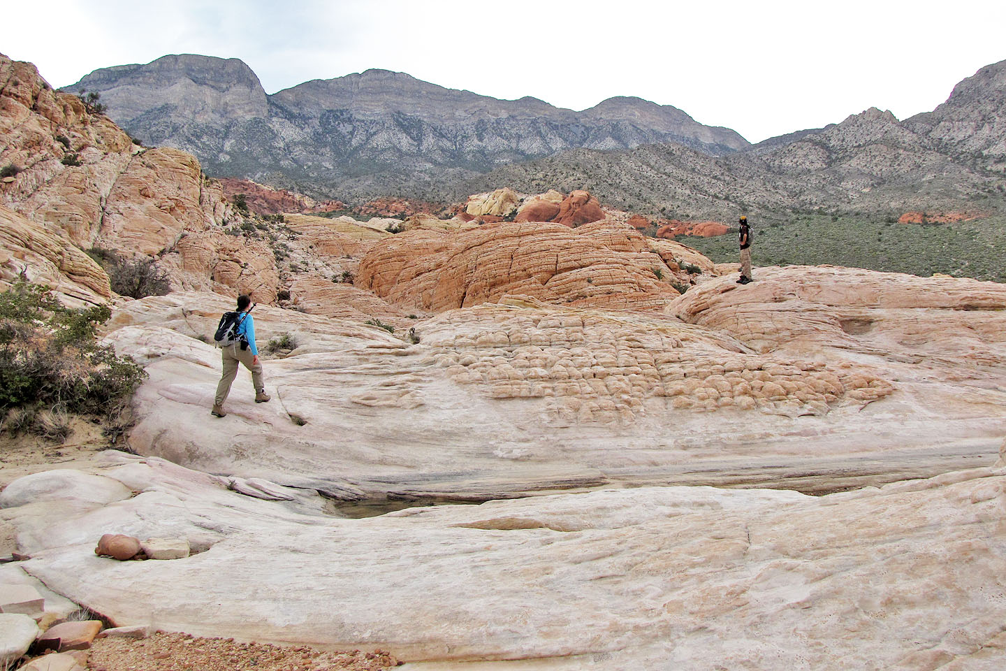
Beautifully carved sandstone
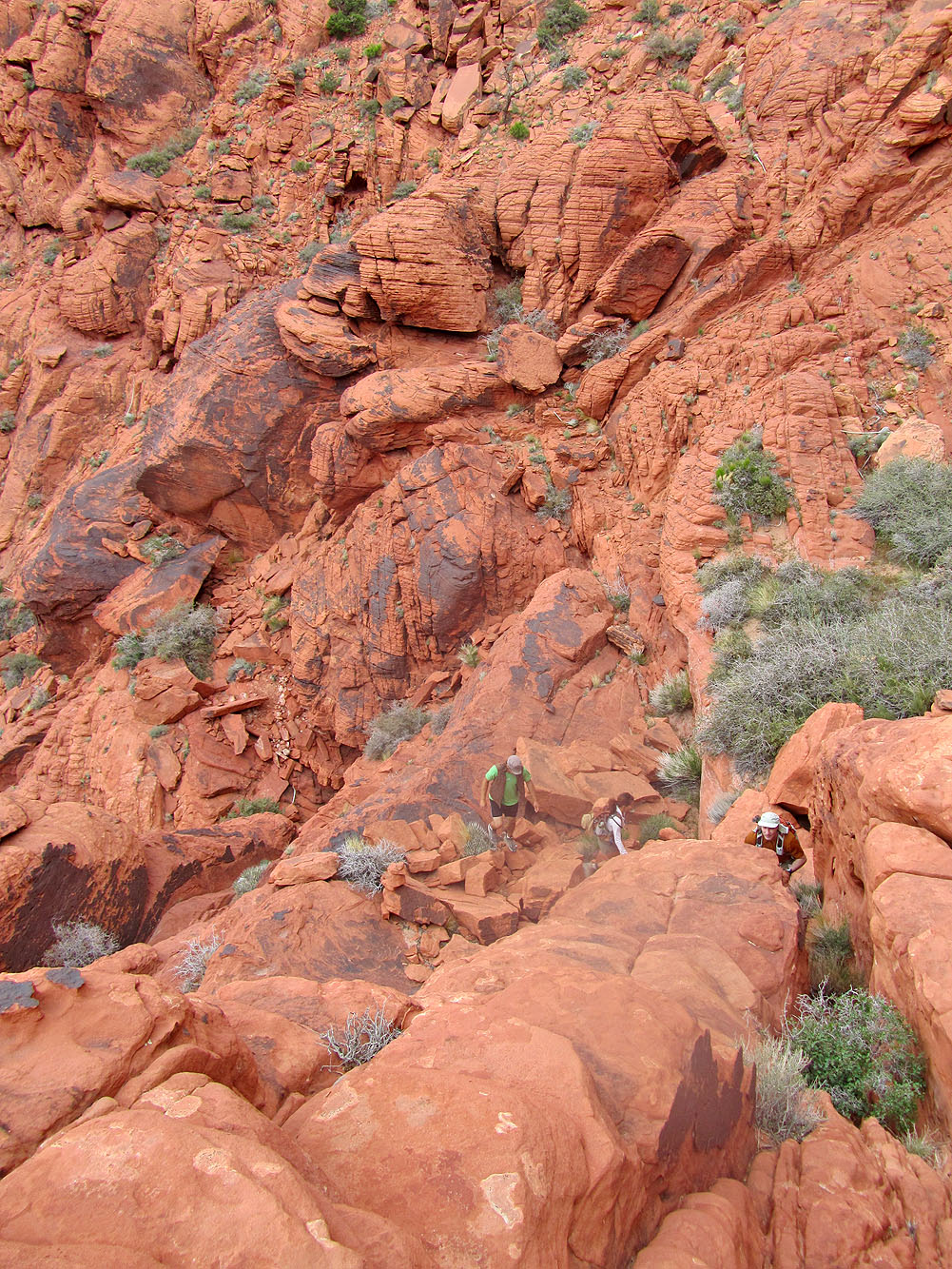
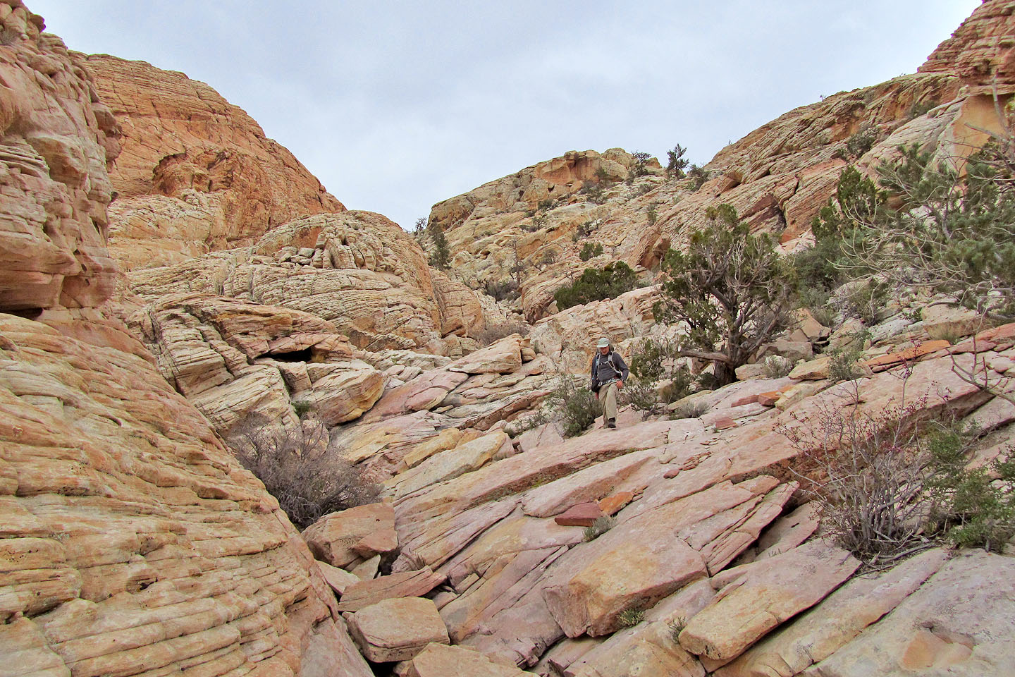
Scrambling up
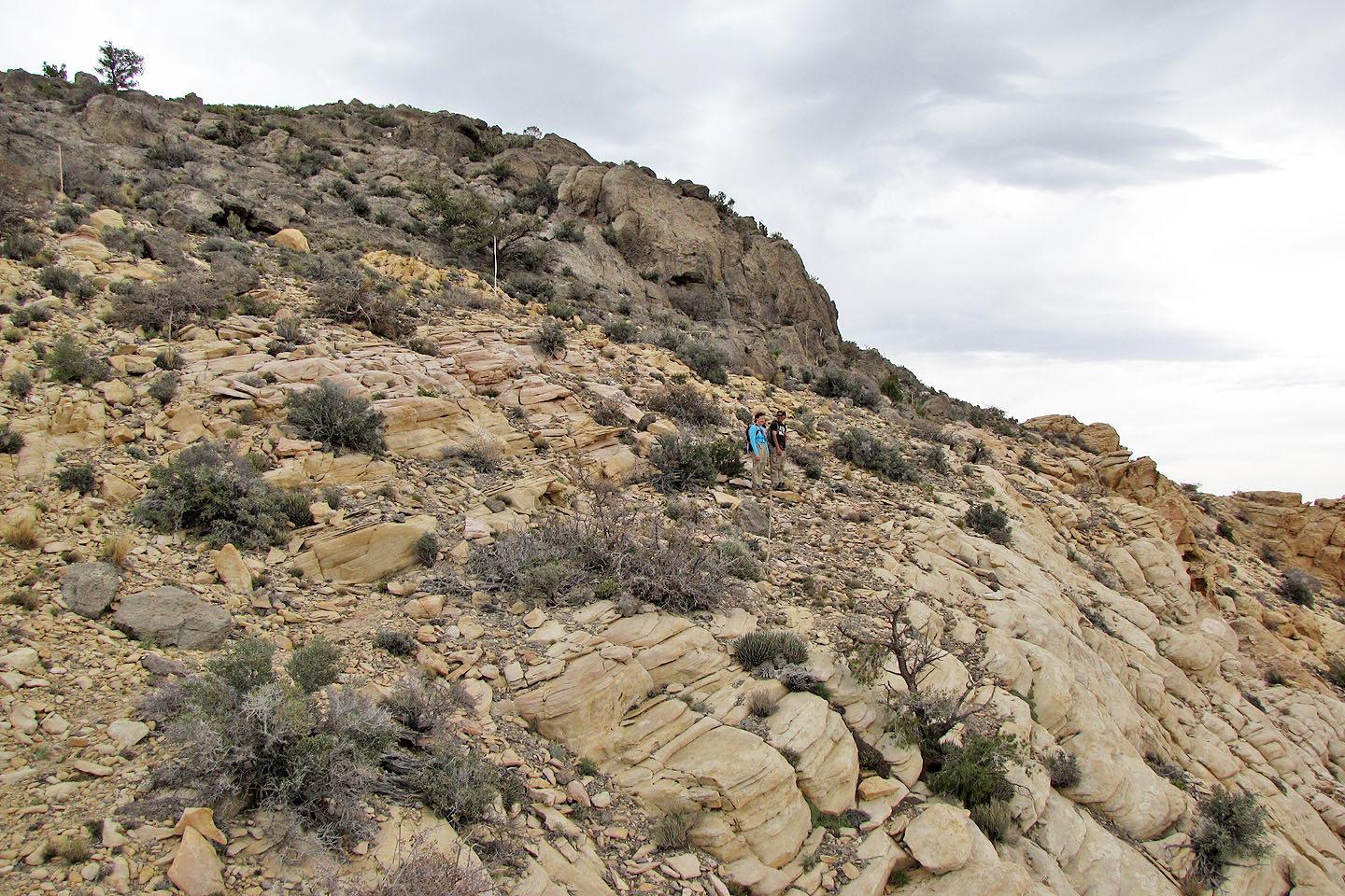
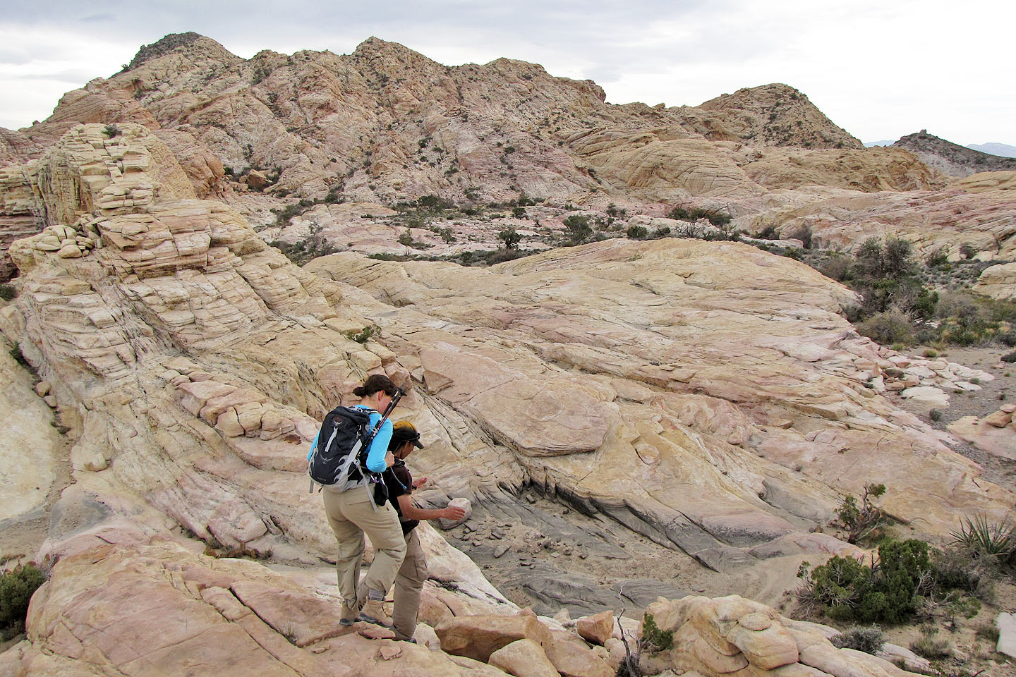
Lots of route-finding
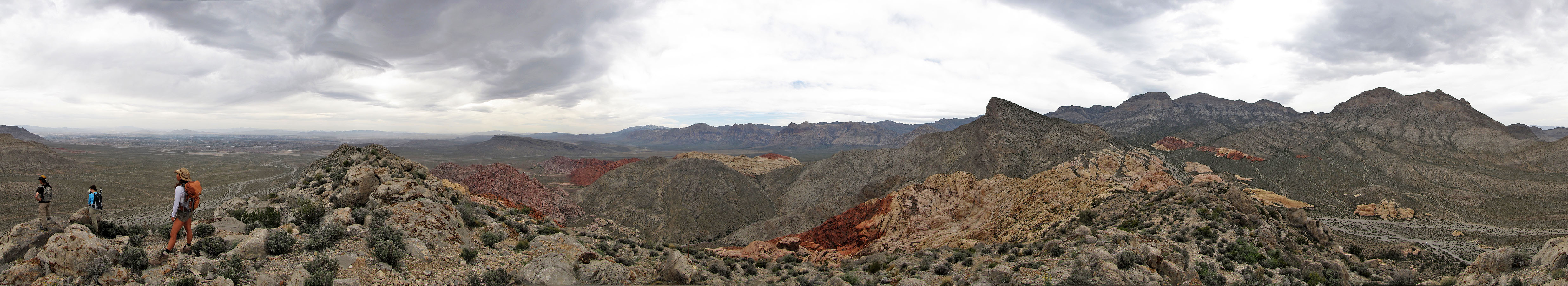
Looking back at Kraft Mountain
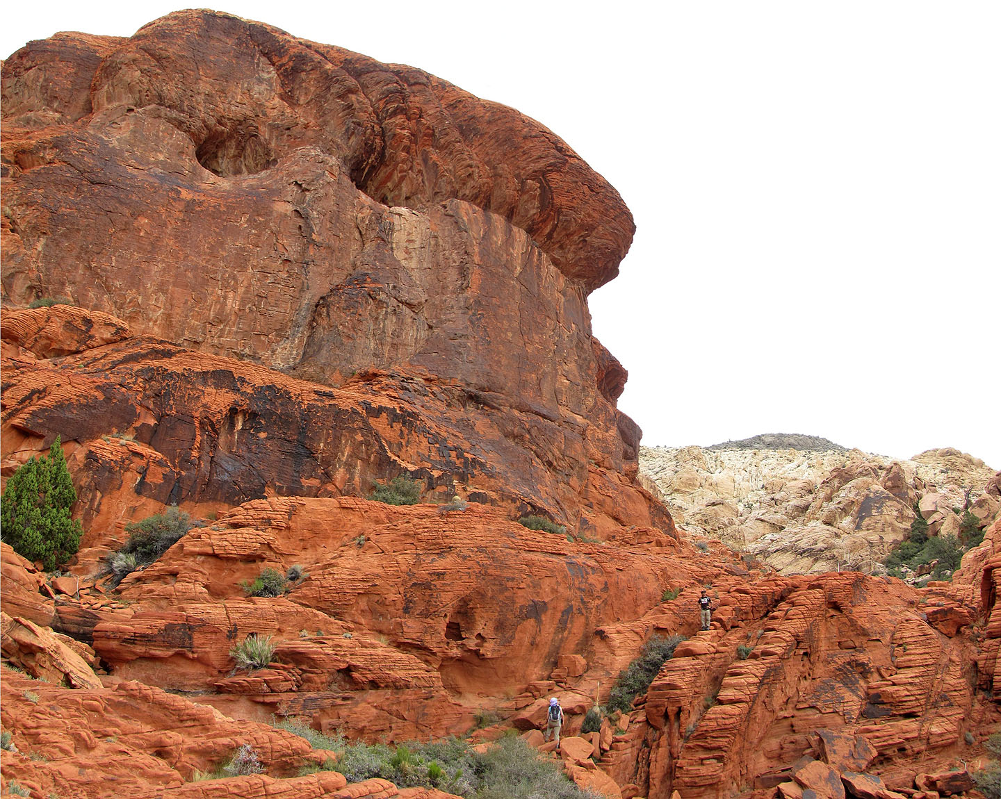
A huge rock wall towers above Dinah and Shin. Graycap on the right.
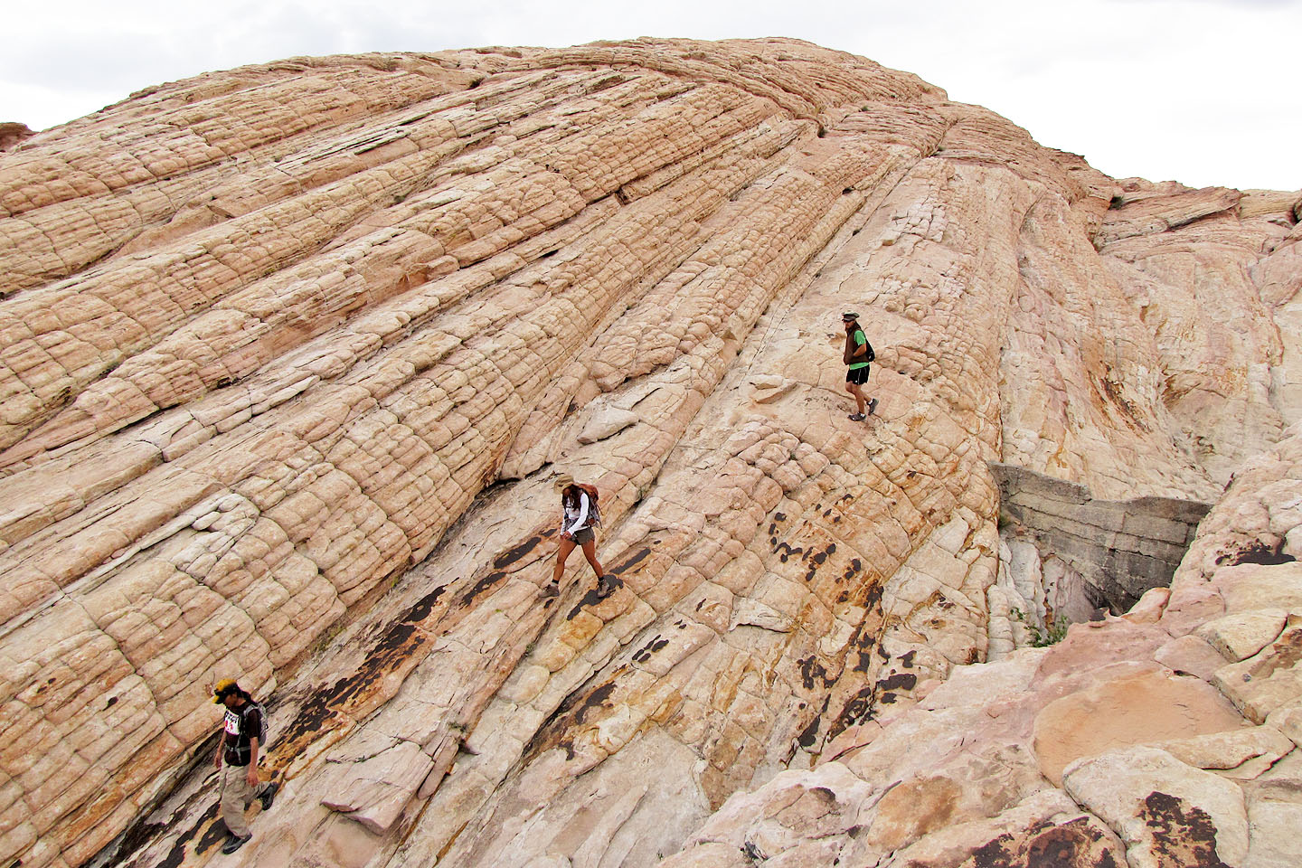
We scrambled up solid rock
Dinah scrambles up next to the rock wall
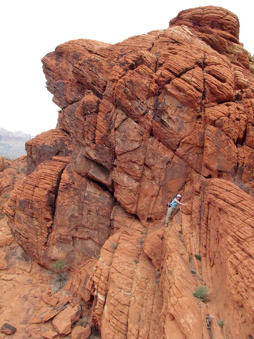
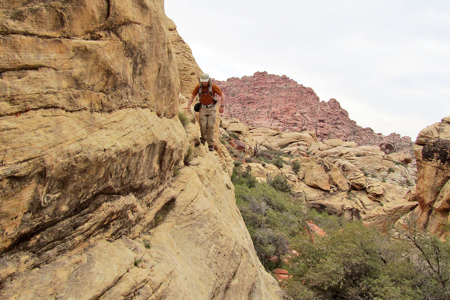
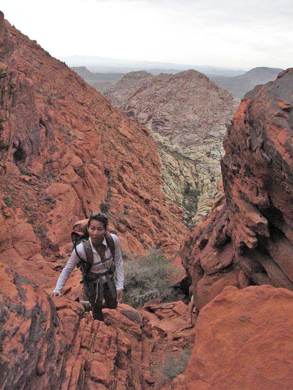
Dinah begins traversing a ledge
Shin led us to the twin tanks
The twin tanks below (mouse over) and Graycap above, right
Going around the twin tanks
Almost on the summit of Graycap
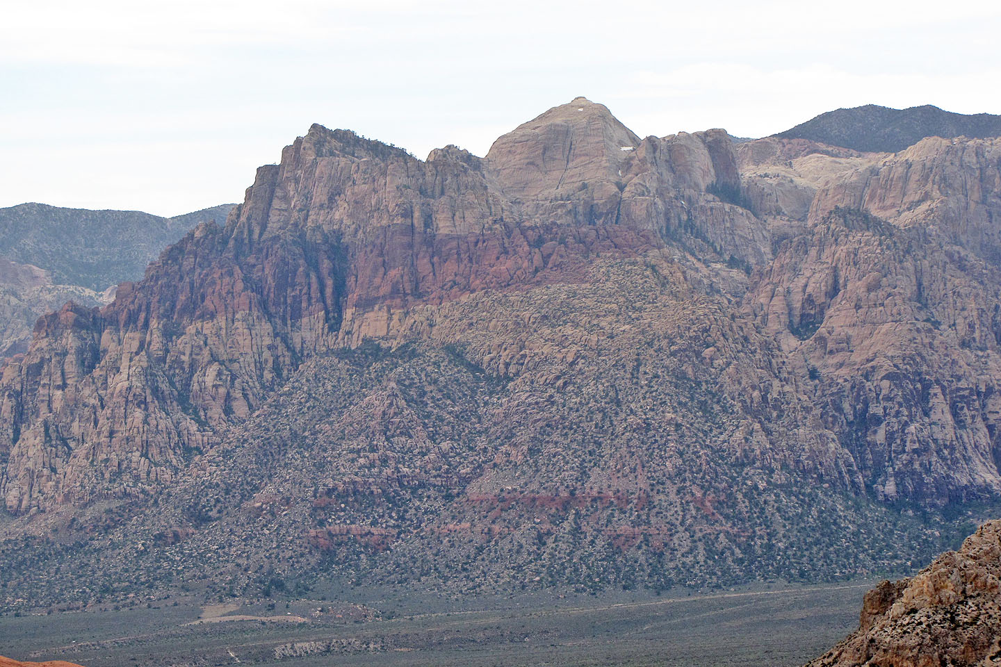
Turtlehead Peak on the left
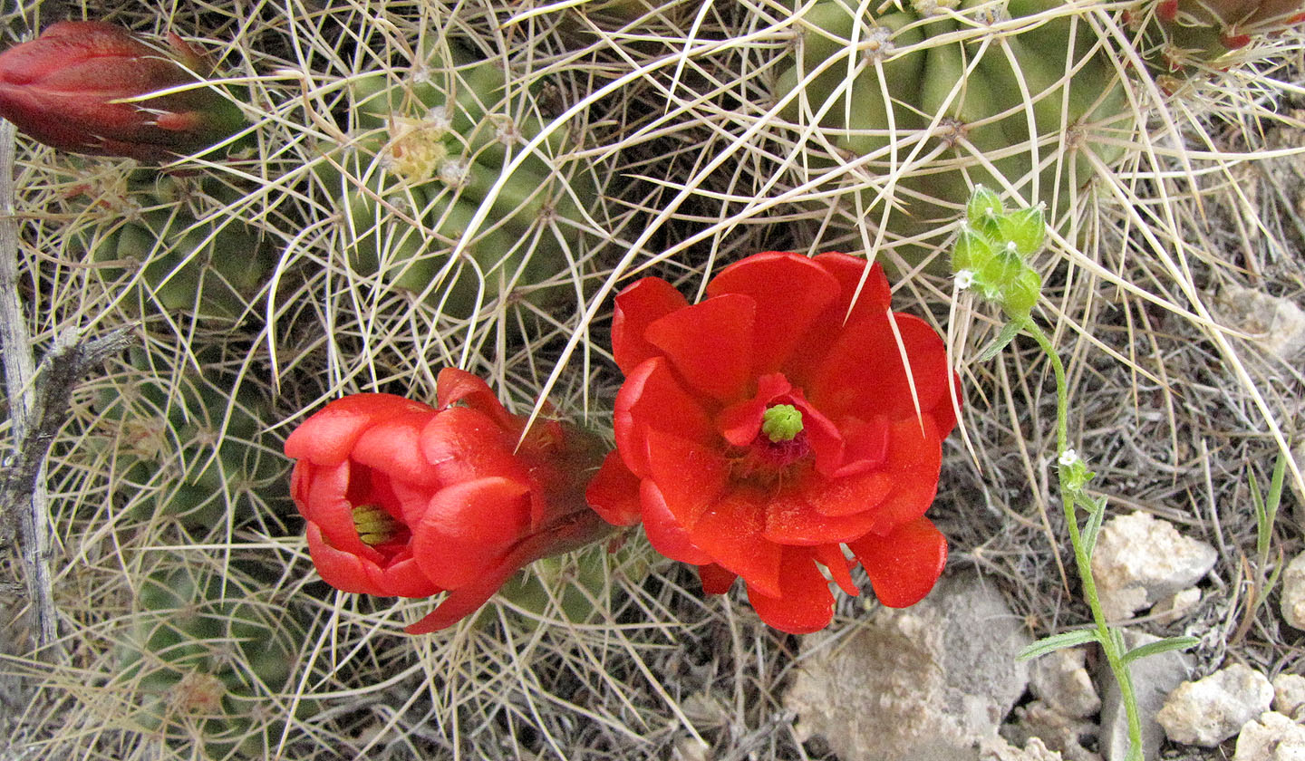
Flowering cactus
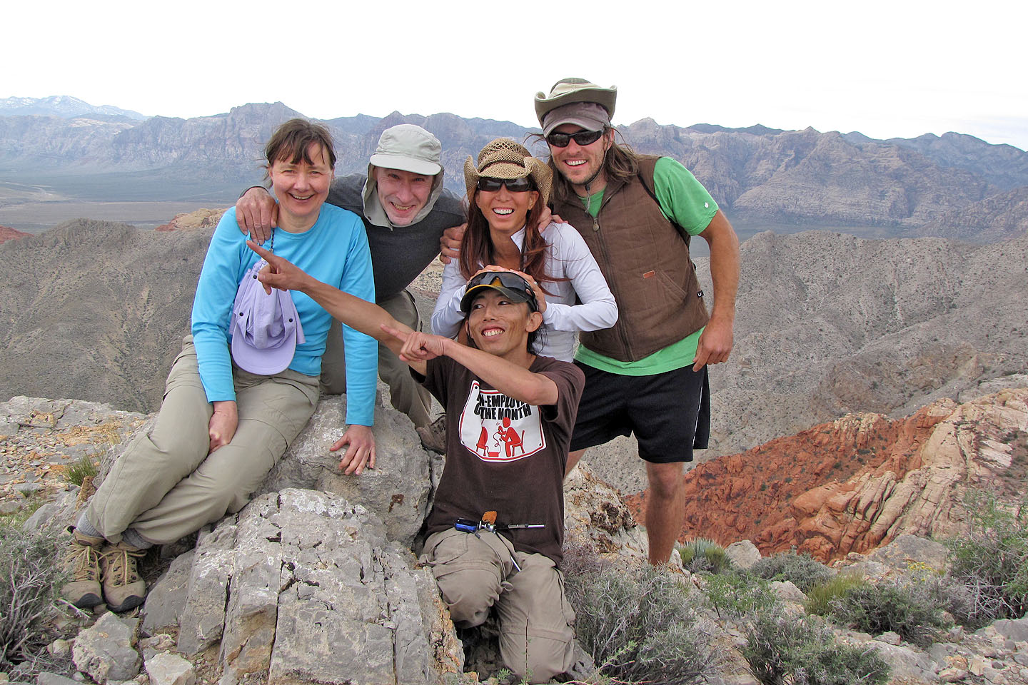
Group summit shot: Dinah, Me, Shin, Marianne and Andy
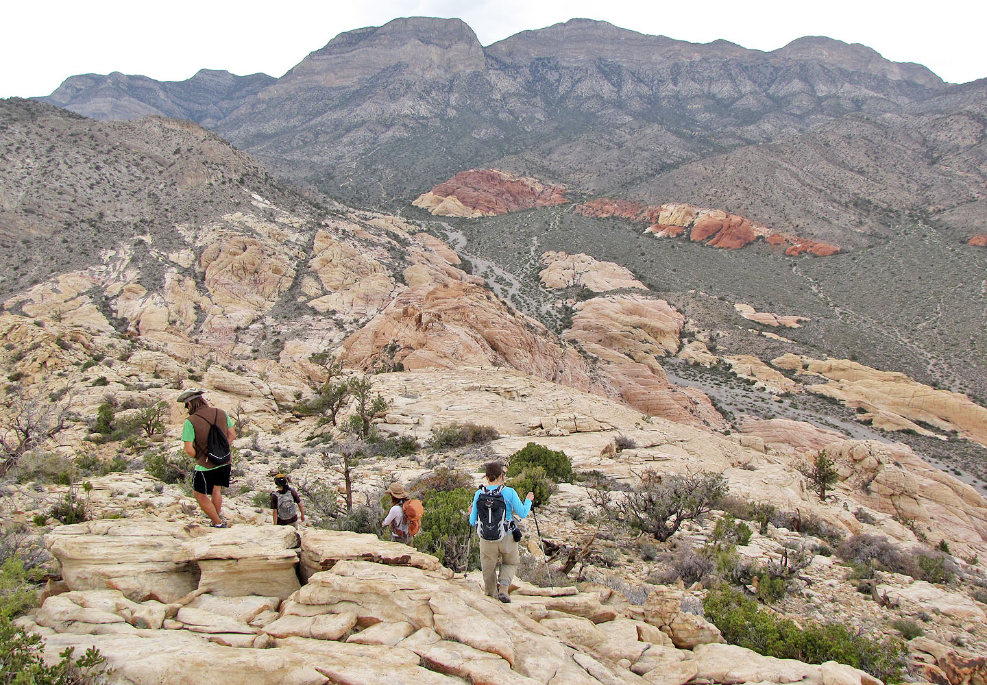
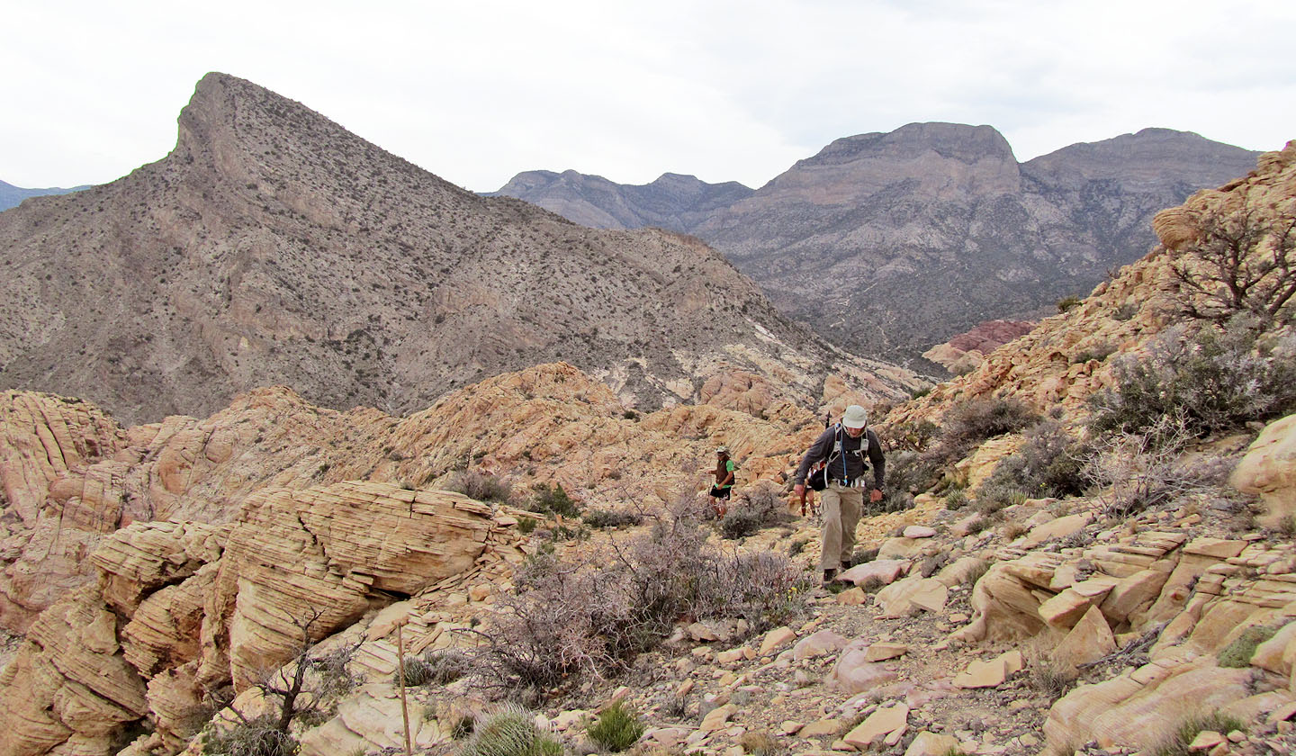
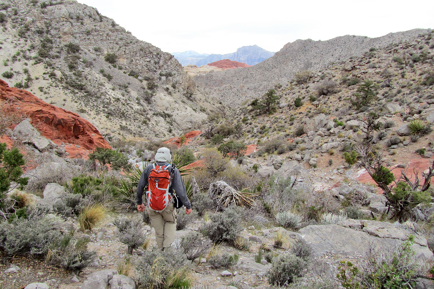
Heading down to Brownstone Basin below
Continuing to the wash below
Looking back
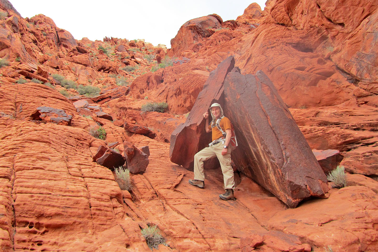
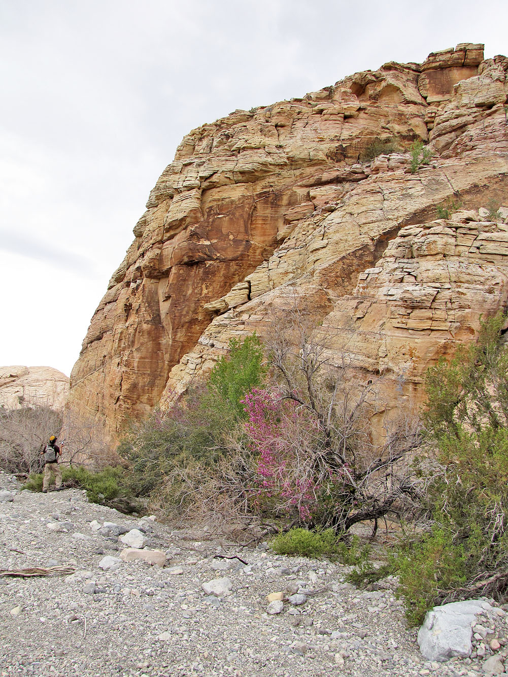
Interesting rock before we reached the wash
We passed a cement dam wedged in a little canyon
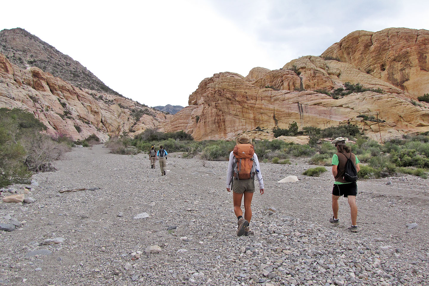
Hiking up the wash
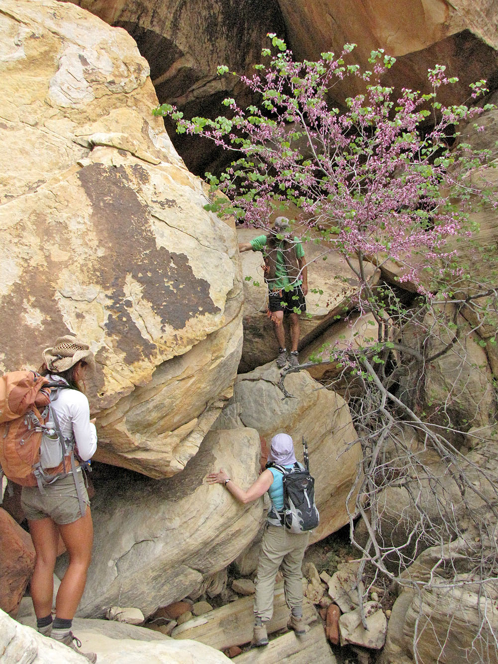
Shin goes to inspect petroglyphs (mouse over)
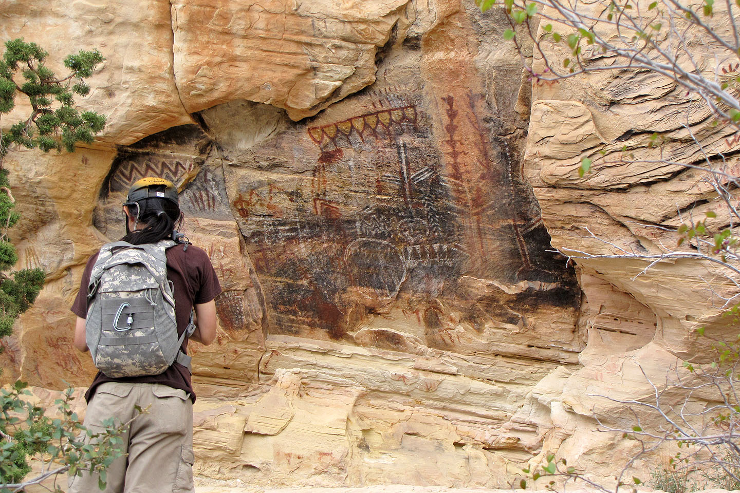
More petroglyphs
On our way back, we climbed over a ridge. Graycap on the left.
More cool rock as we headed back
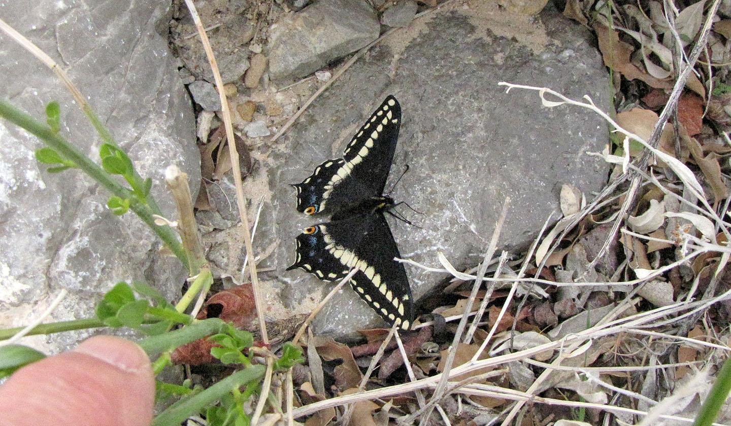
Black Swallowtail
Ahead we see Redcap aka Turtlehead Jr. in the distance
La Madre Mountain (6.6 mi, 5436 ft, 1686 ft)