bobspirko.ca | Home | Canada Trips | US Trips | Hiking | Snowshoeing | MAP | About

Kraft Mountain
Red Rock Canyon NCA, Nevada
April 25, 2011
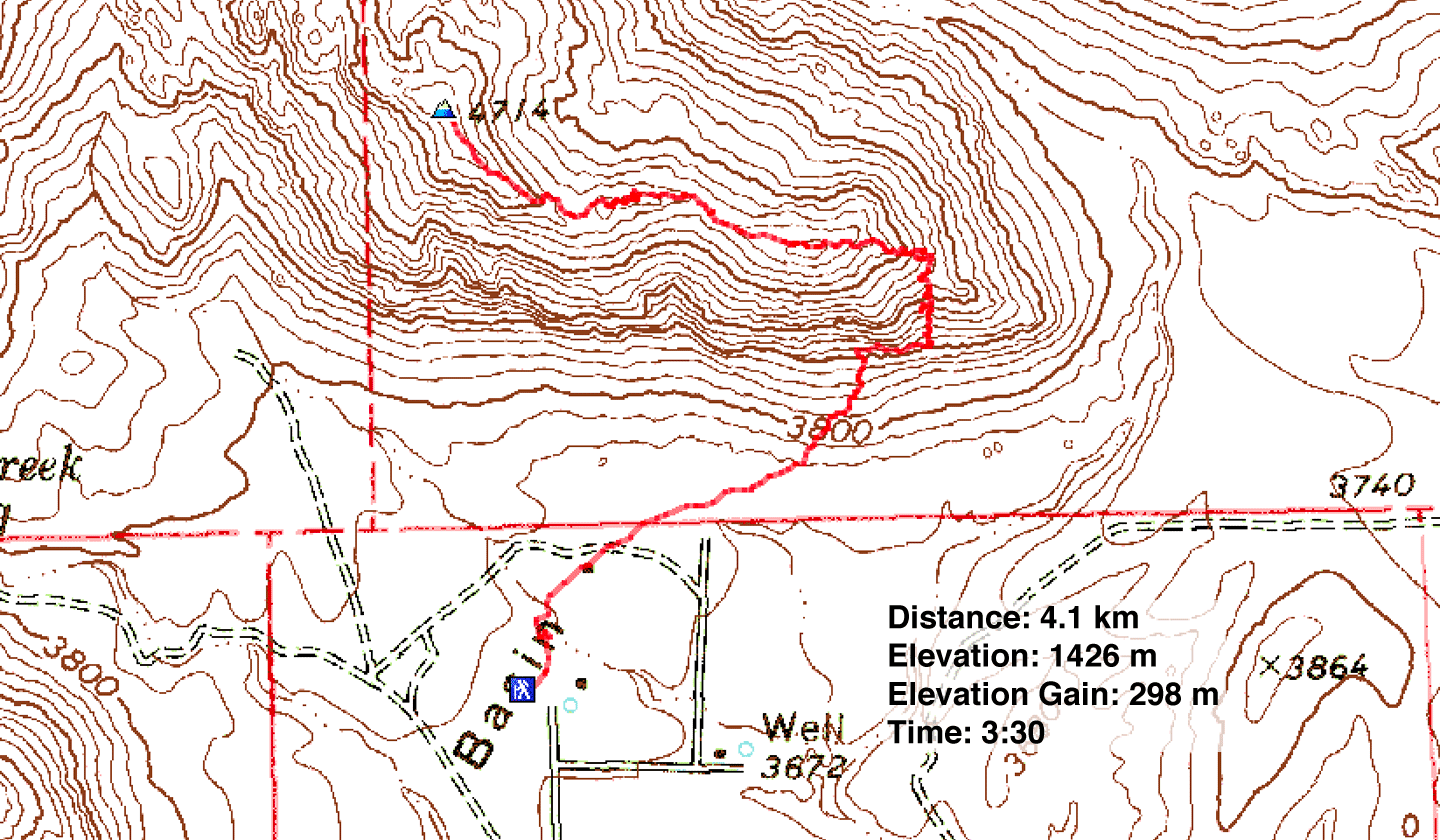
Distance: 4.1 km (2.5 mi)
Cumulative Elevation Gain: 341 m (1119 ft)
Sometimes small packages hold big surprises, and that's the case for Kraft Mountain. Despite being diminutive, Kraft offers enjoyable scrambling among candy-striped boulders, some the size of small houses.
Summitpost offers four ways to reach the top of Kraft, although none were described in detail. Of these, the gully directly south of the summit appeared to be the simplest and shortest. As Dinah and I were going to meet a friend afterwards at 3:00, this needed to be a quick trip.
But after Dinah and I started up the south gully, we found the route unexpectedly demanding. Not only was it steeper than we expected, but towering rock and huge boulders compounded routefinding. Dinah had no patience that day for extended scrambling, so she bailed. I continued solo, but the south gully wasn't winning any favours with me either. I soon became discouraged by the arduous routefinding. I dropped down and rejoined Dinah.
But I wasn't going to give up on Kraft; I wanted to try the east end. It wasn't a route mentioned by Summitpost, but after studying the mountain, a possible way up presented itself.
Looking at the east end of Kraft from bottom to top, I saw a rubbly slope, a ledge, a cliff band and then a half-hidden gully stretching to a notch on the ridgeline. We could hike along the ledge at the base of the cliff band and where the cliff ended, we could turn the corner and ascend the gully to the ridgeline notch. The grade above the notch appeared to ease. Still, it was possible to hit steep rock anywhere and get turned back, and since we only had a few hours, we didn't have time to search for other routes.
As it turned out, the way up was as simple as it appeared. That is, simple for a mountain like Kraft with its enormous boulders and towering rock faces. We had to do a lot of routefinding, but we never dead-ended, and with relative ease, we reached Big Bird Peak, the high point on the east end of the mountain. The ridge traverse to the summit of Kraft on the west end was delightful and fast. We made it back to our car with time to spare for our rendezvous.
When we met our friend Nish afterwards, we told him we had climbed Kraft, and asked if he had done it. At first he was reluctant to talk about it, but after some chiding, he gave in. Nish had climbed the mountain in the evening with the Las Vegas Meetup. Although inexperienced at the time, confidence surged within him when he discovered a descent route after they summited. Excitedly, he quickly descended until suddenly he ran out of negotiable slope. Not only was it too steep to continue down, but with nightfall descending, it was too dangerous to climb back up! Much to his chagrin, he had to be rescued.
The rest of the group followed their descent route down and gathered below Nish but within shouting distance. Someone called a rescue helicopter while another ordered pizza. It would be a long night. The first helicopter couldn't find a flat spot to make a landing, so a larger copter capable of a sling rescue was requested. After Nish was plucked safely off the mountainside, he rejoined his friends but not without taking a lot of ribbing.
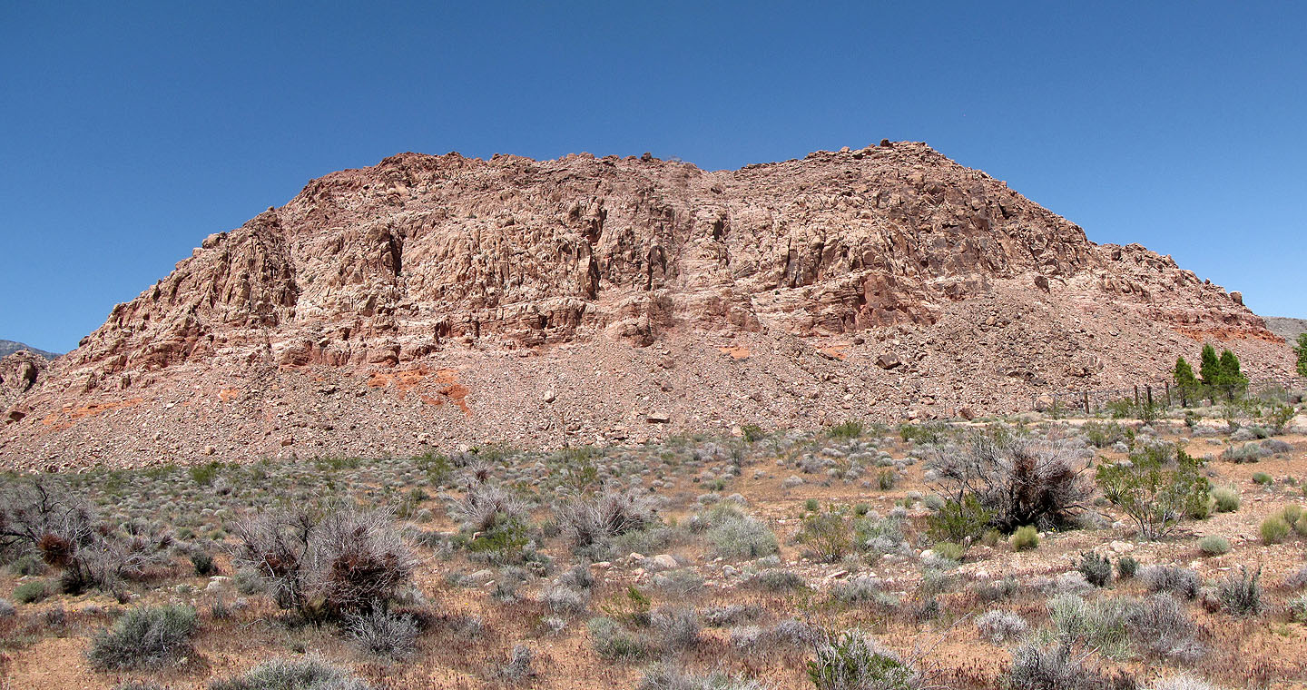
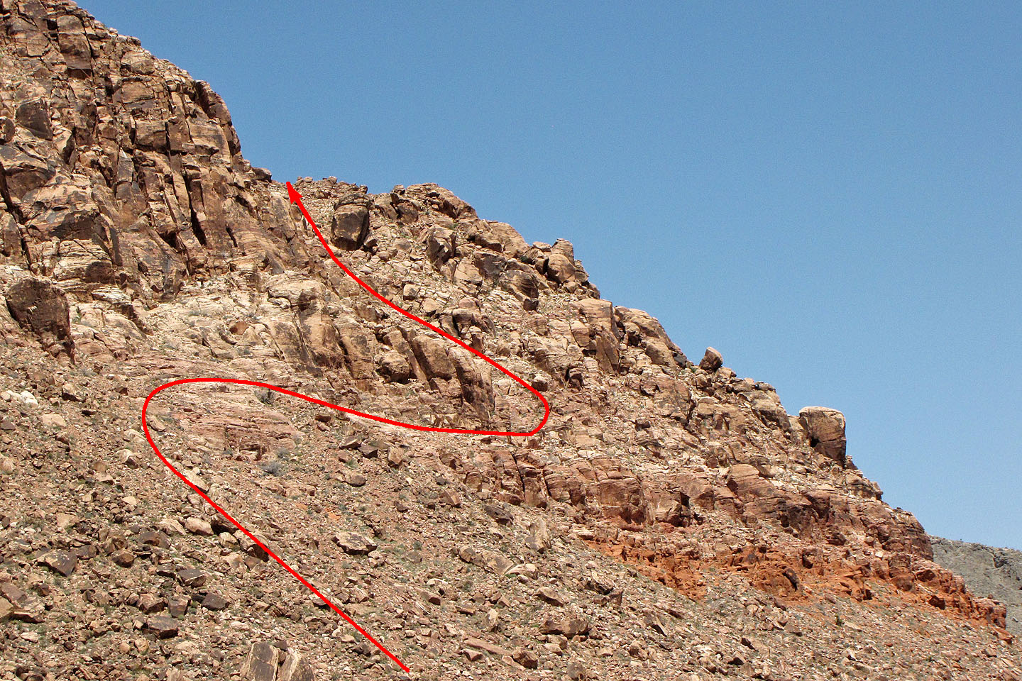
We tried the south gully (far left) only to abort and instead ascend the east end (far right). From there, we traversed the ridge to Big Bird Peak (right)
and Kraft Mountain (left).
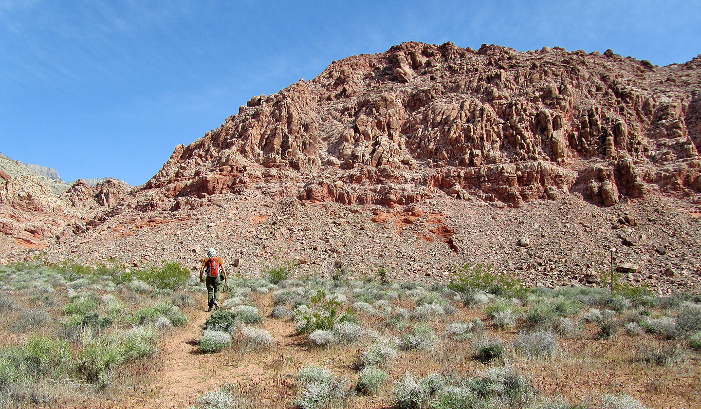
Heading to the south gully
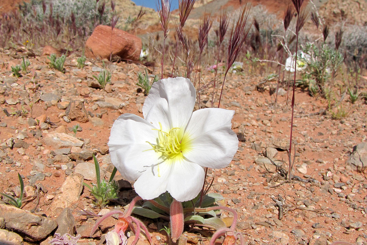
Evening primroses
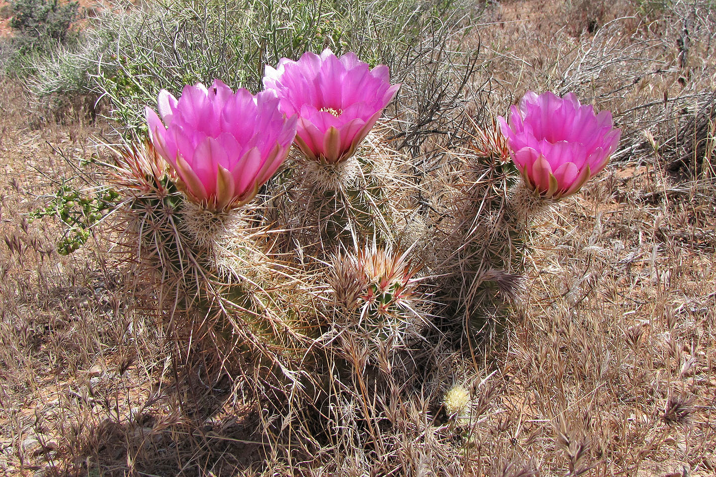
Strawberry hedgehog cactus
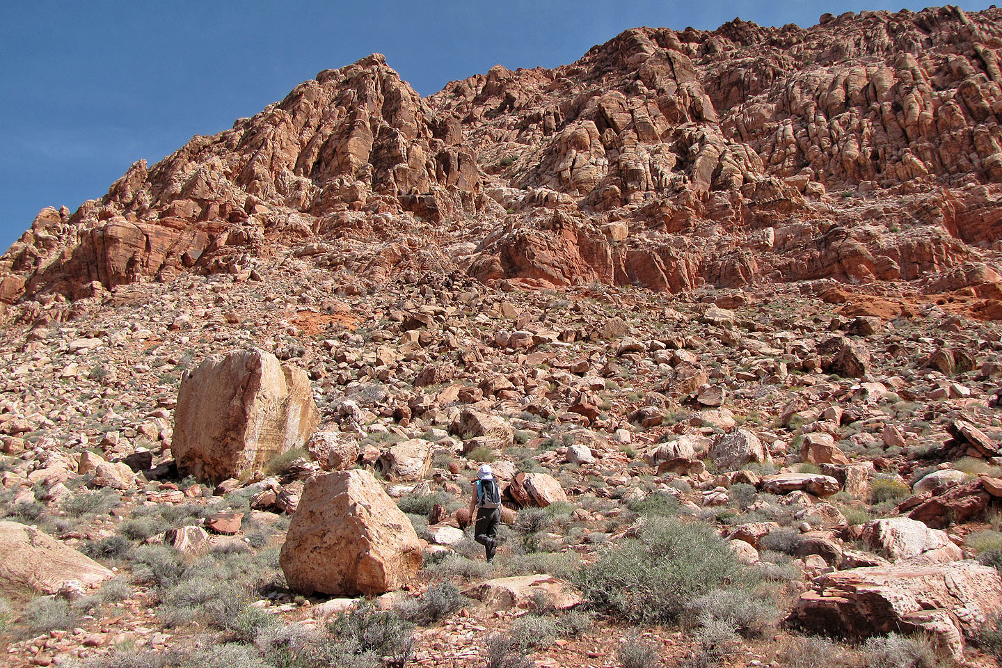
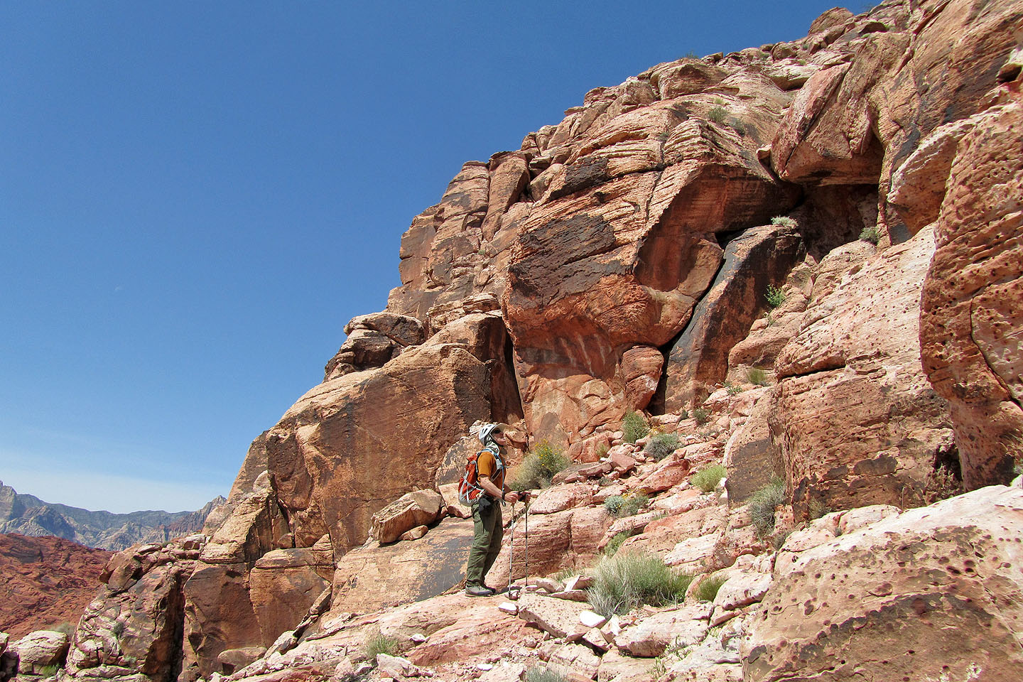
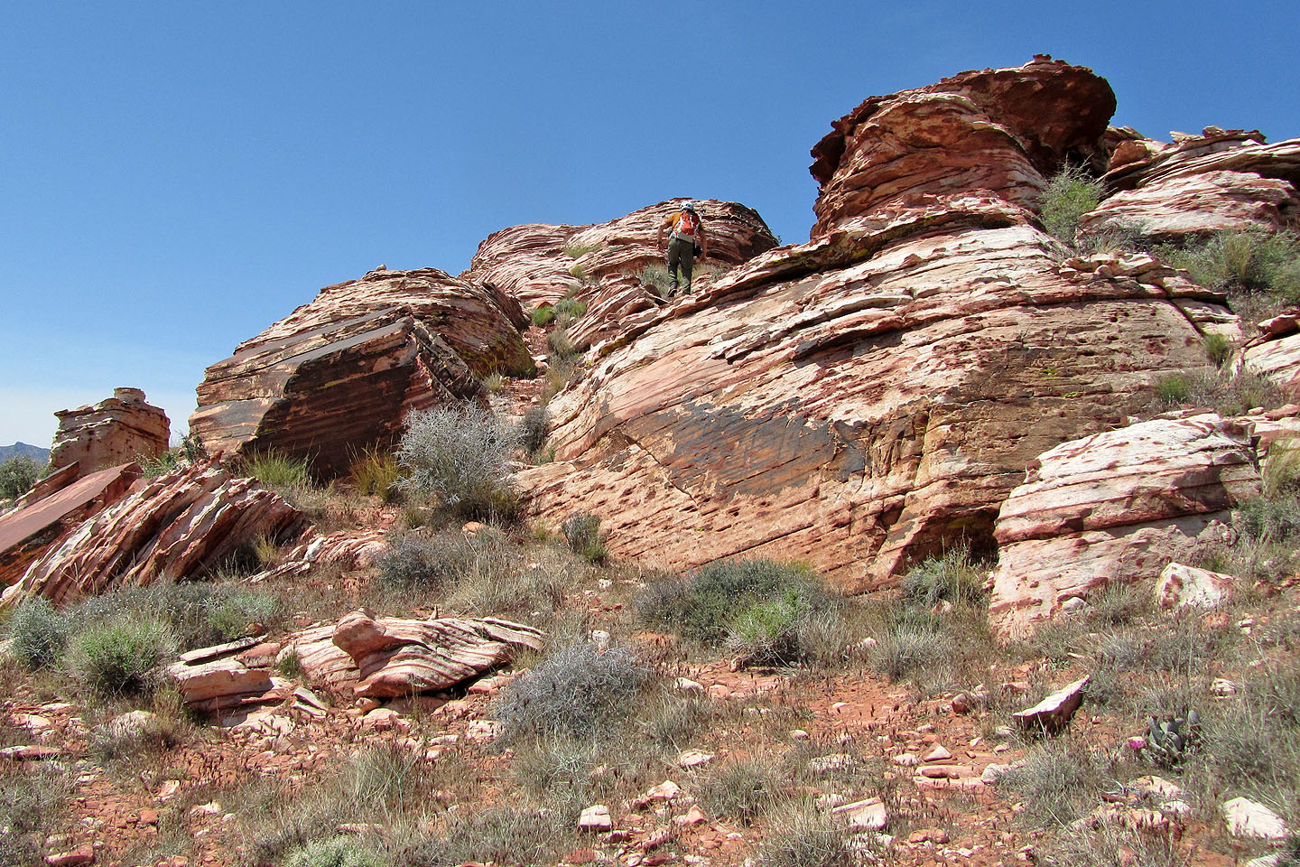
Approaching the south gully
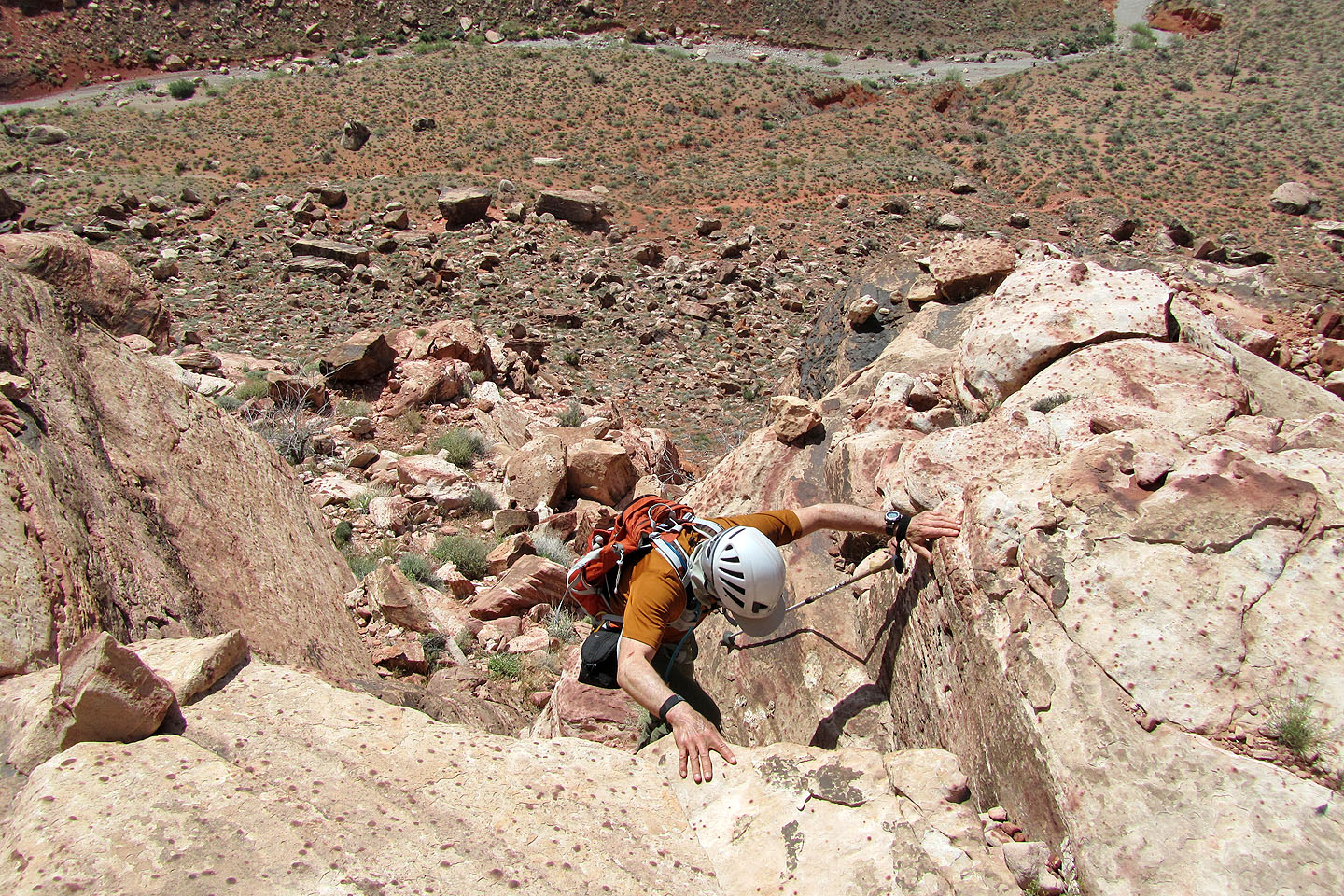
Negotiating the lower slopes below the gully
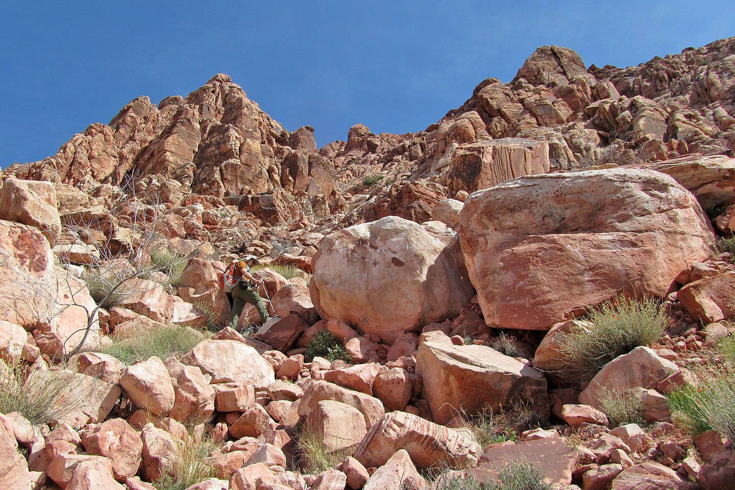
I started working my way to the right to reach the gully but soon gave up (I'm in the centre)
We decided to try reaching the notch on the east end of Kraft
Our route
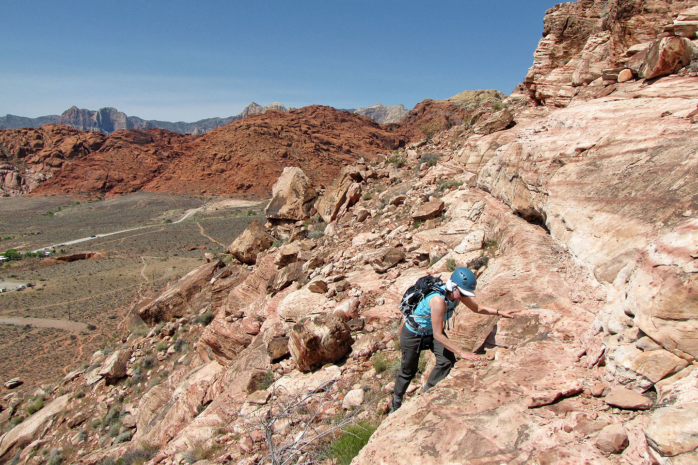
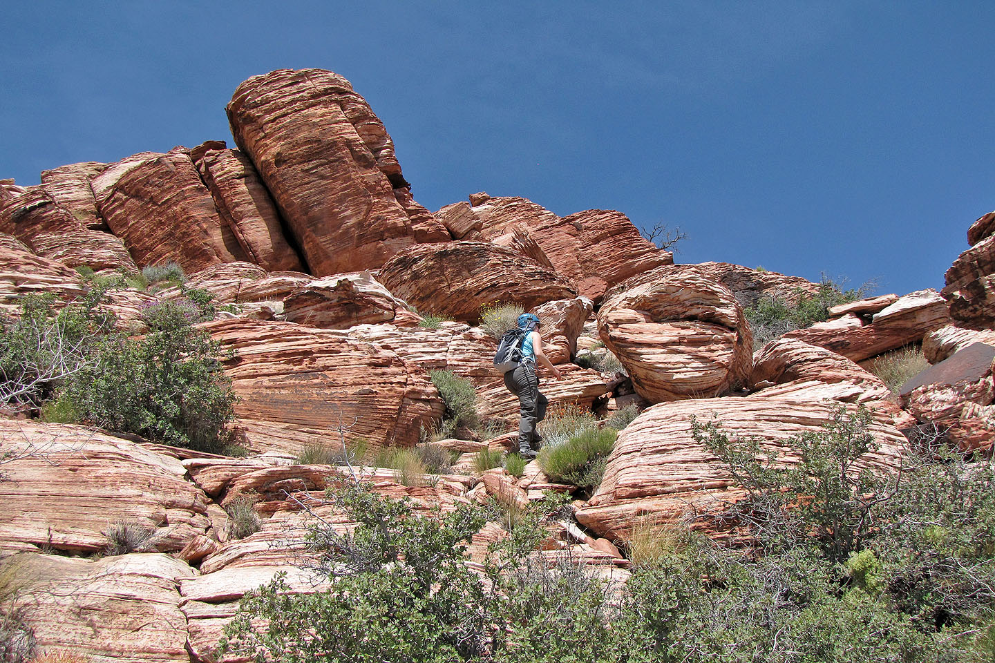
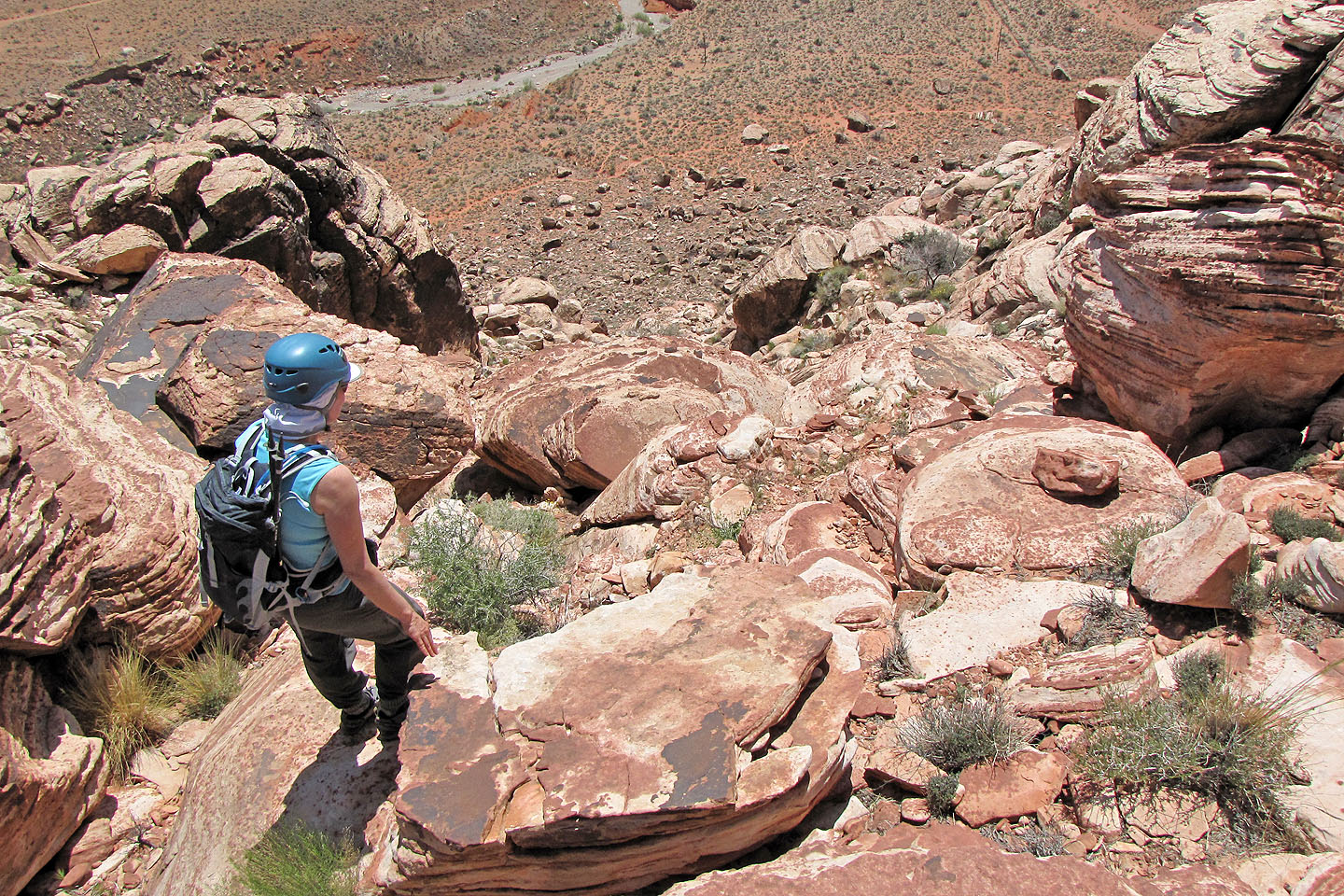
Reaching the ledge
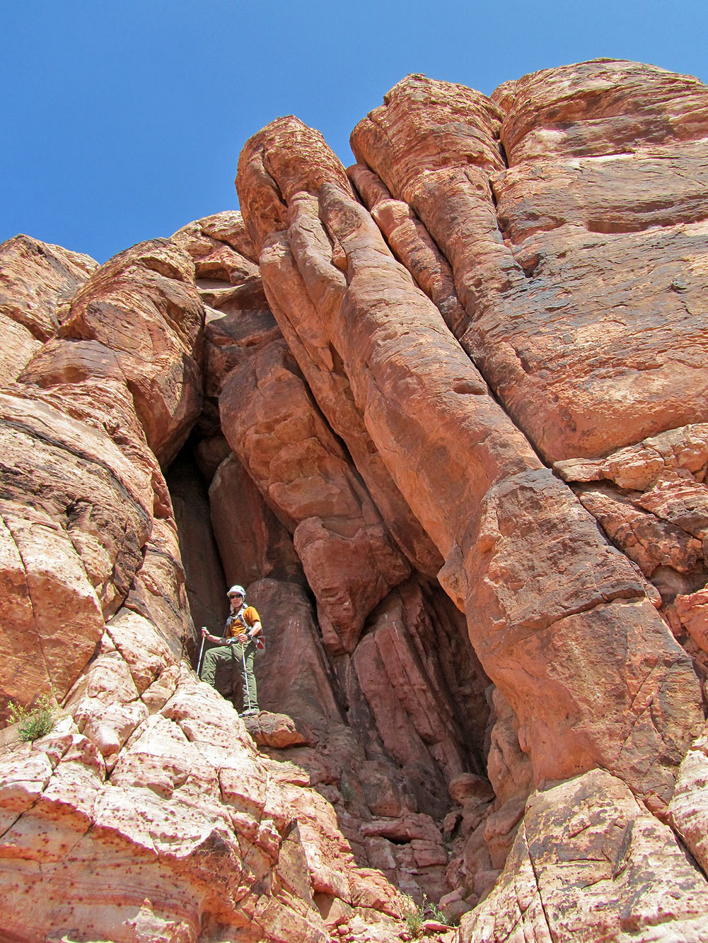
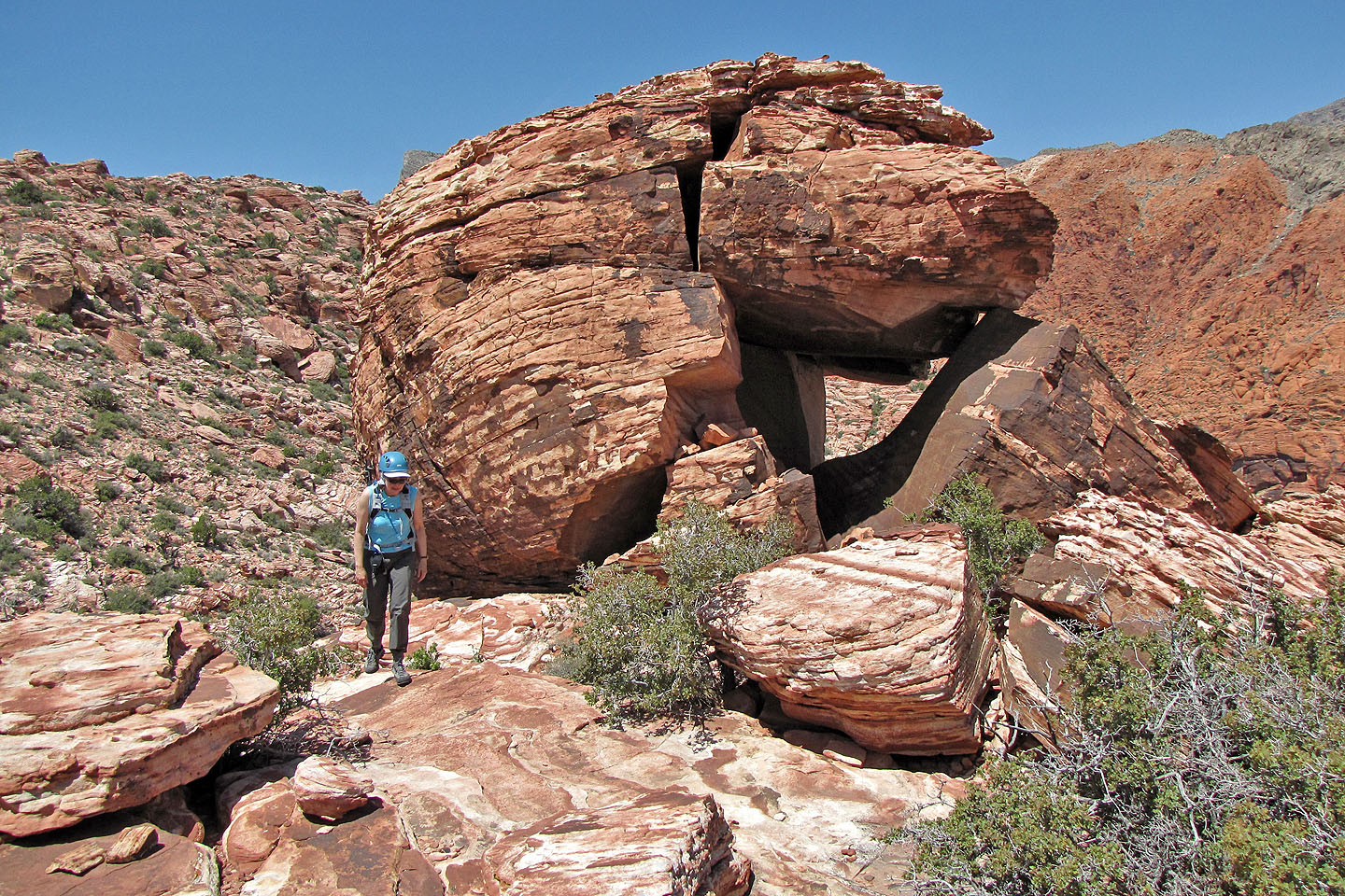
I checked to see if this was a tunnel, but it wasn't
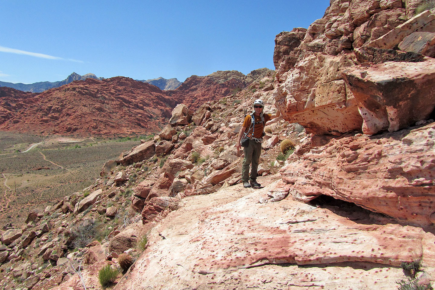
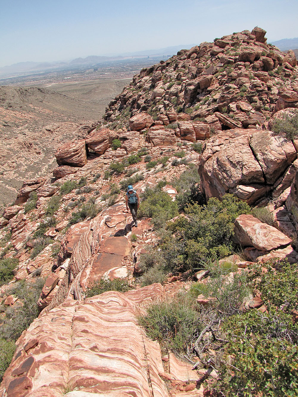
Still on the ledge
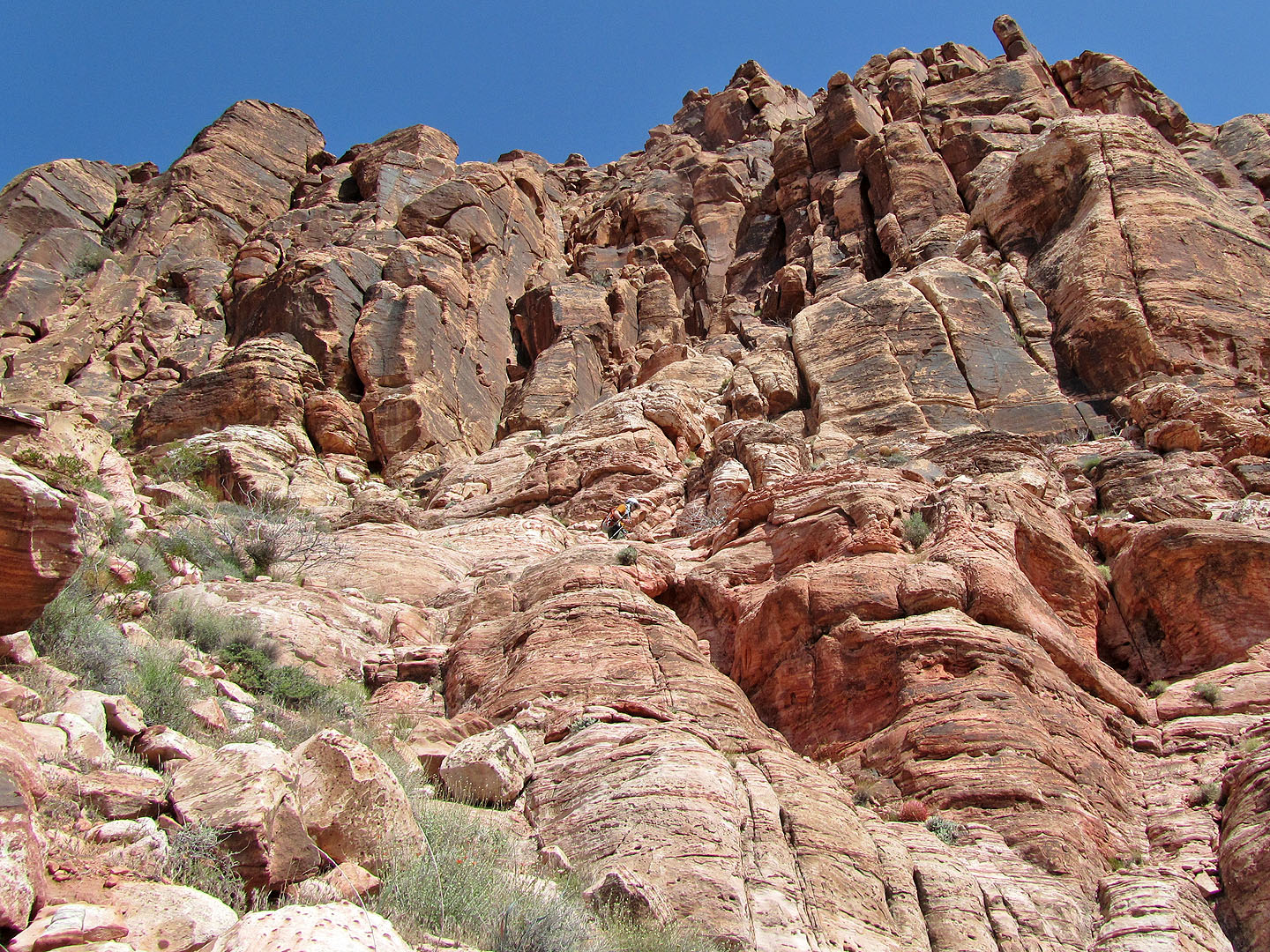
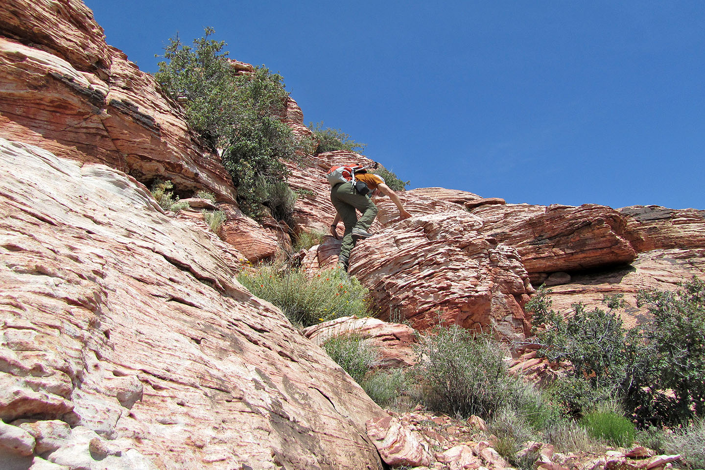
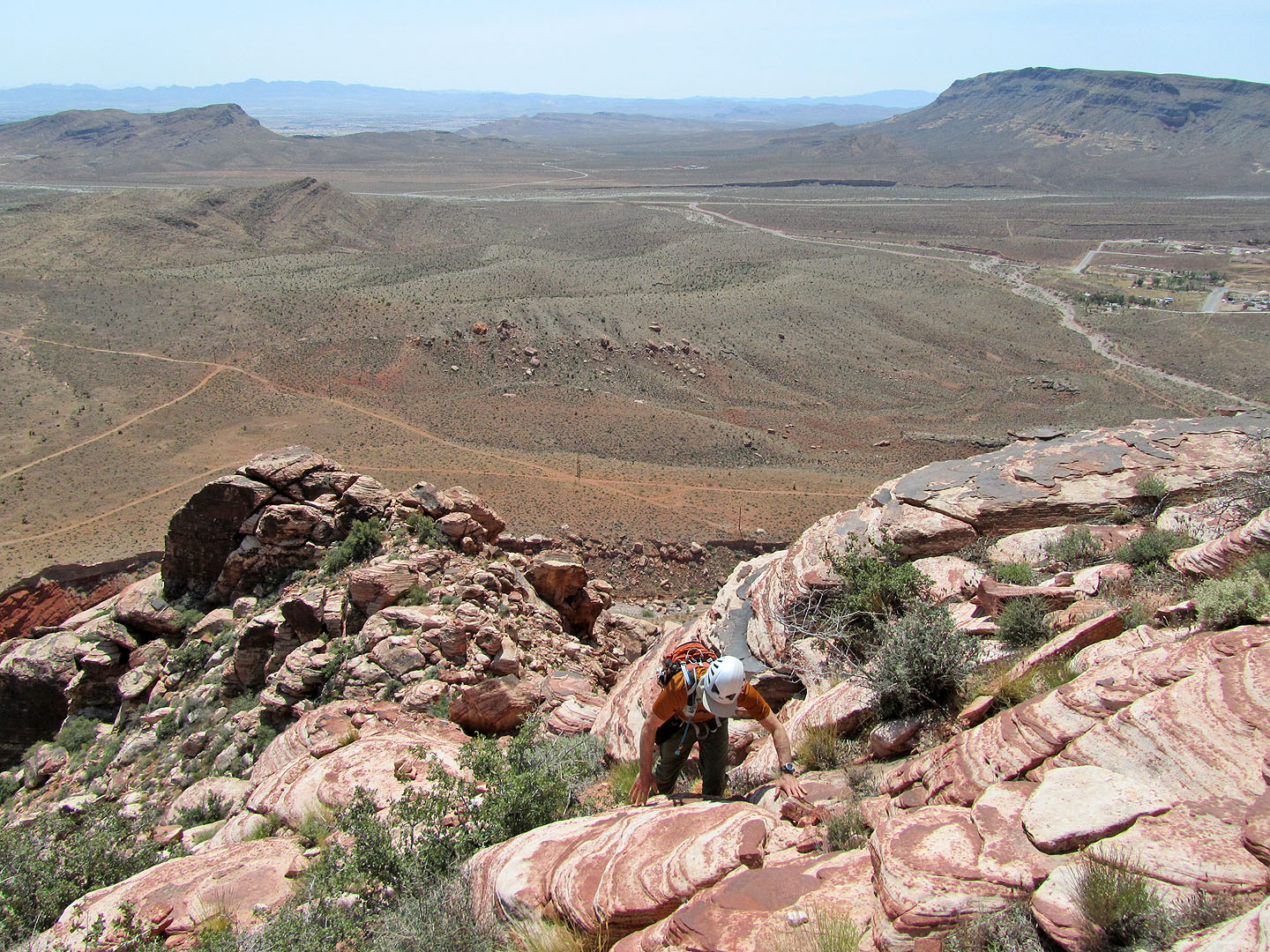
Starting up the gully
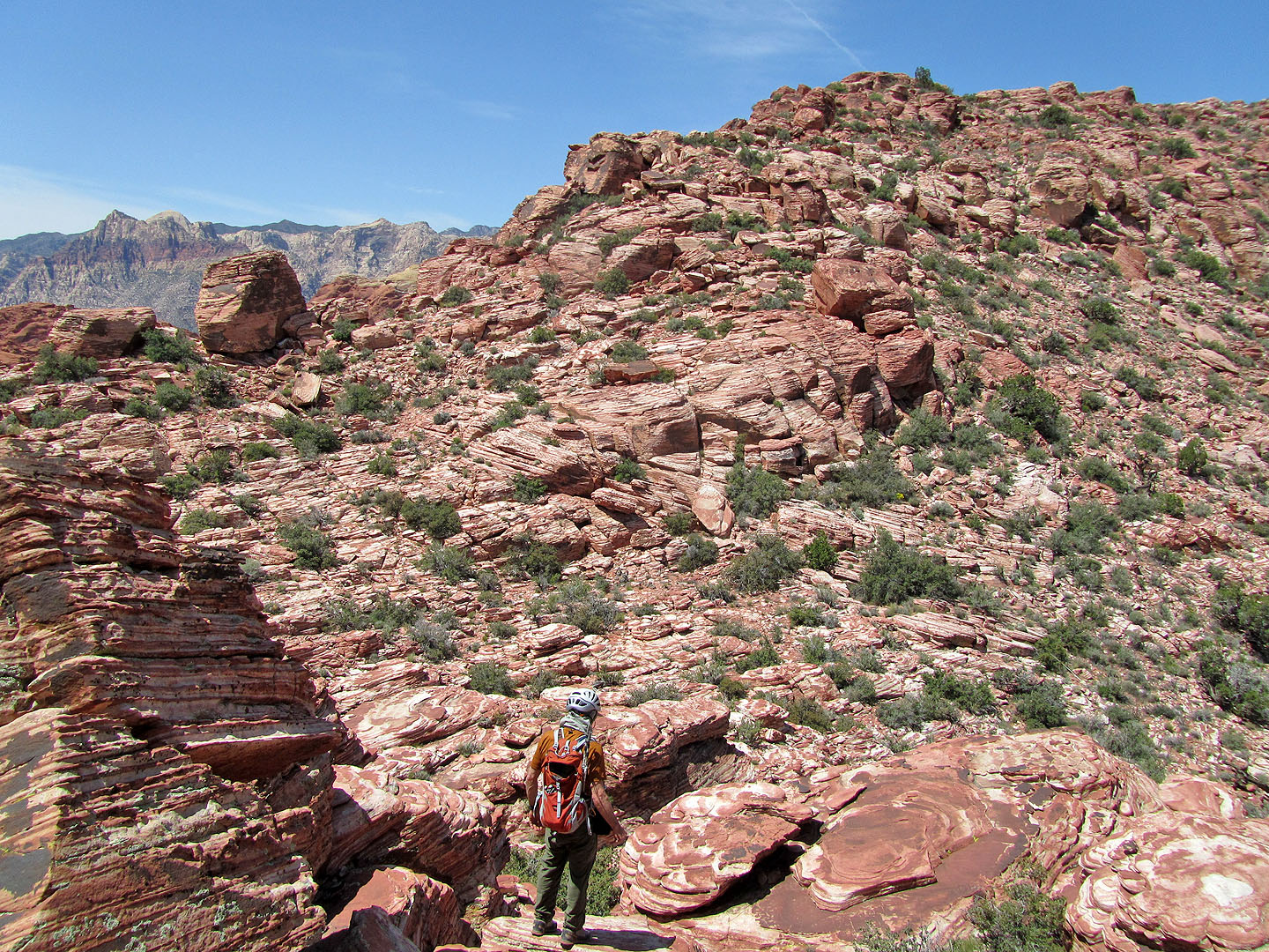
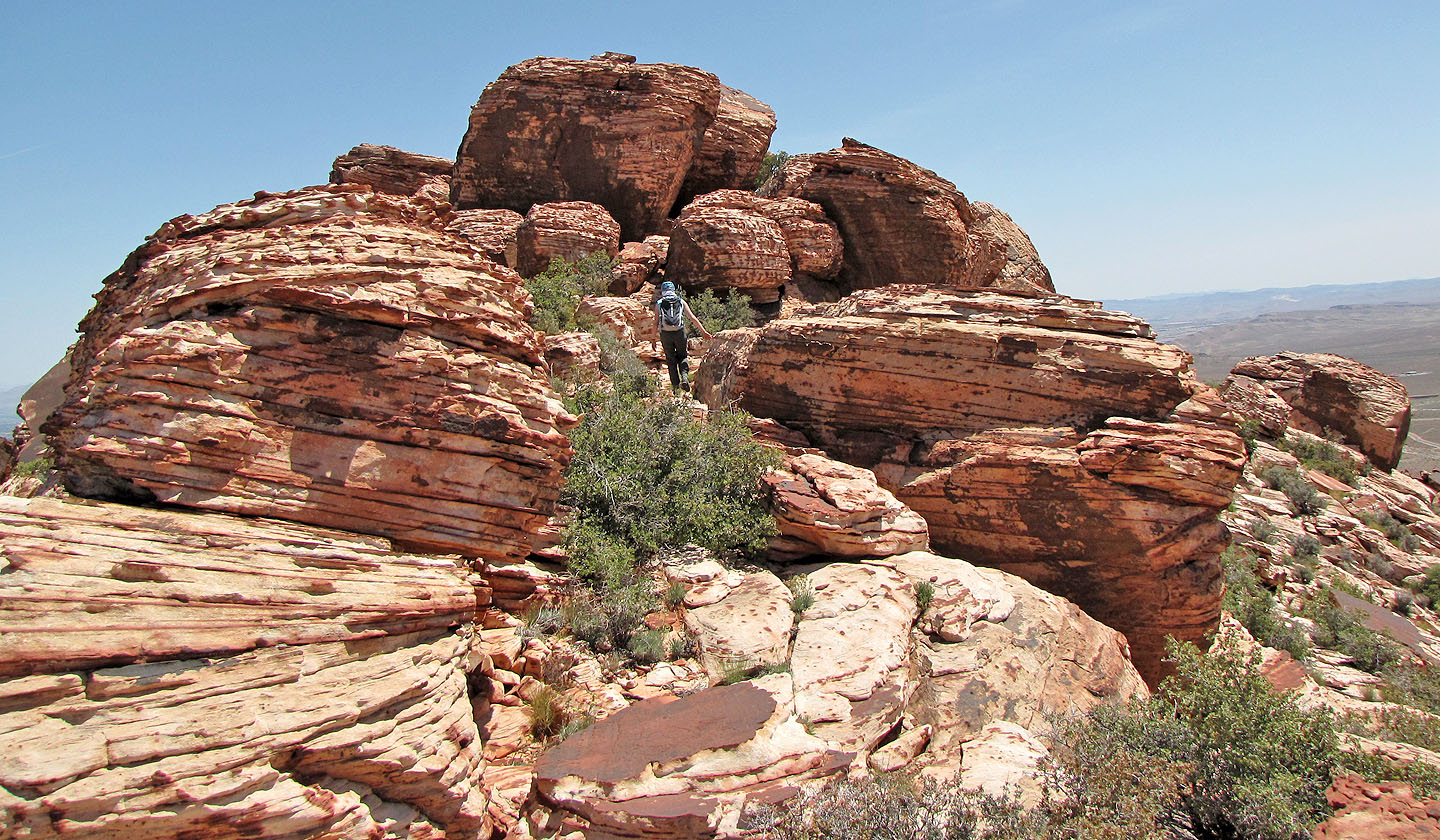
Looking for the best way up
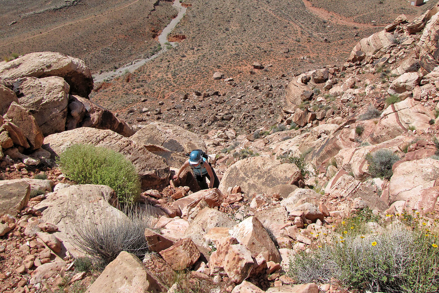
Although steep, the gully was easy to scramble up
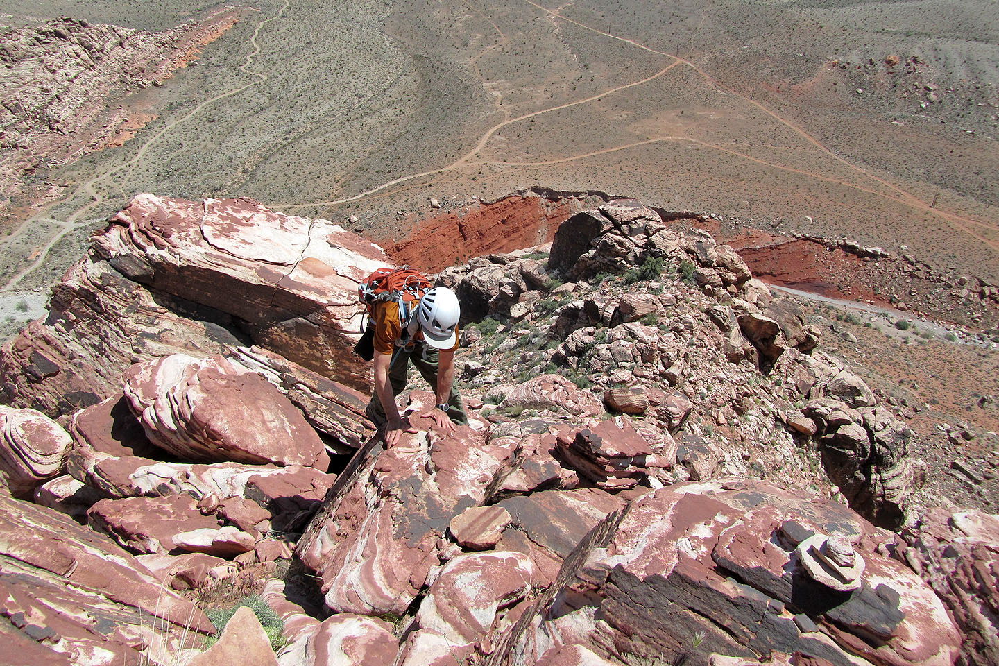
We reached the ridge crest at the notch
Climbing above the notch
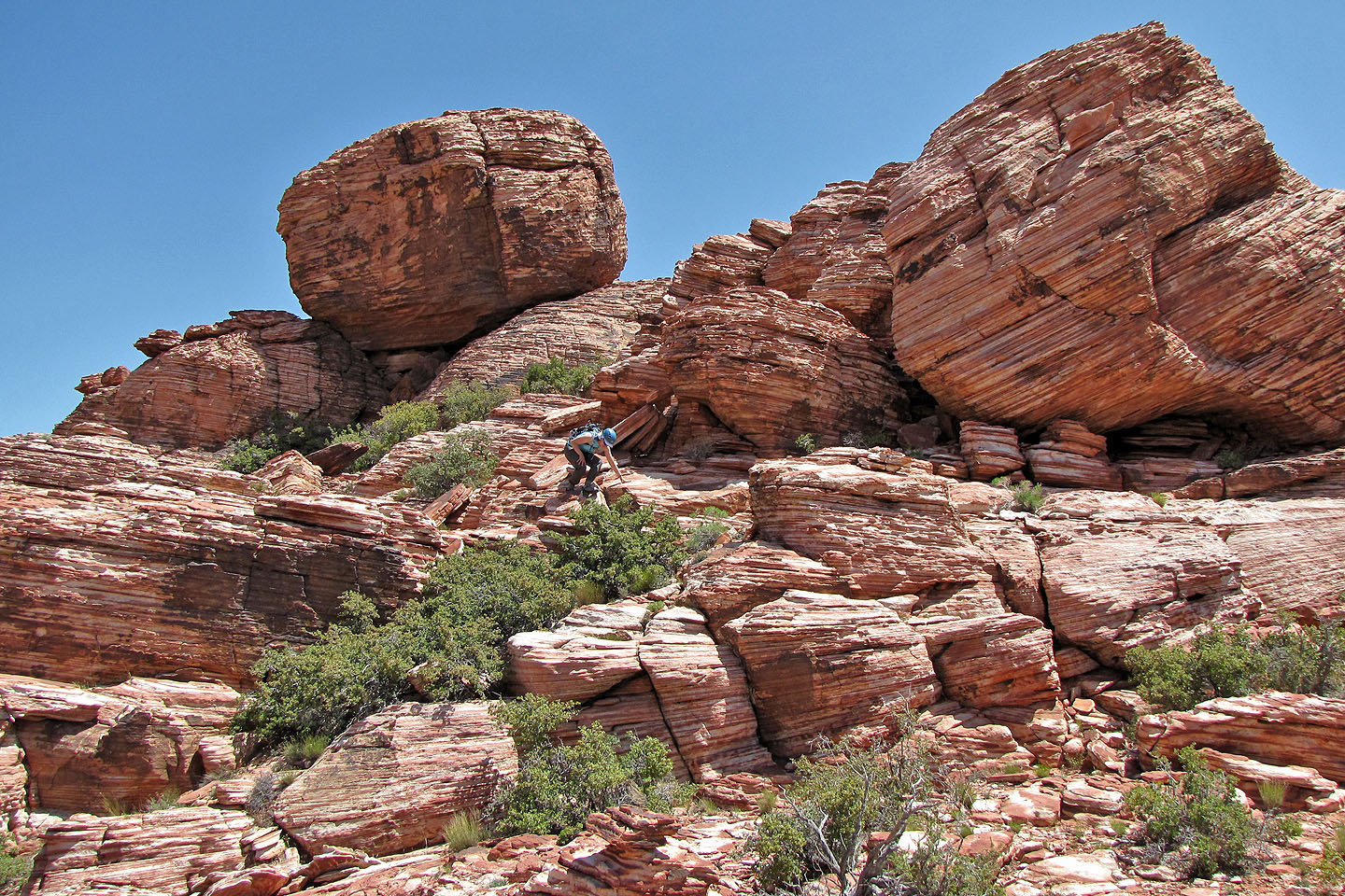
I thought we would be stopped by the rocks above us...
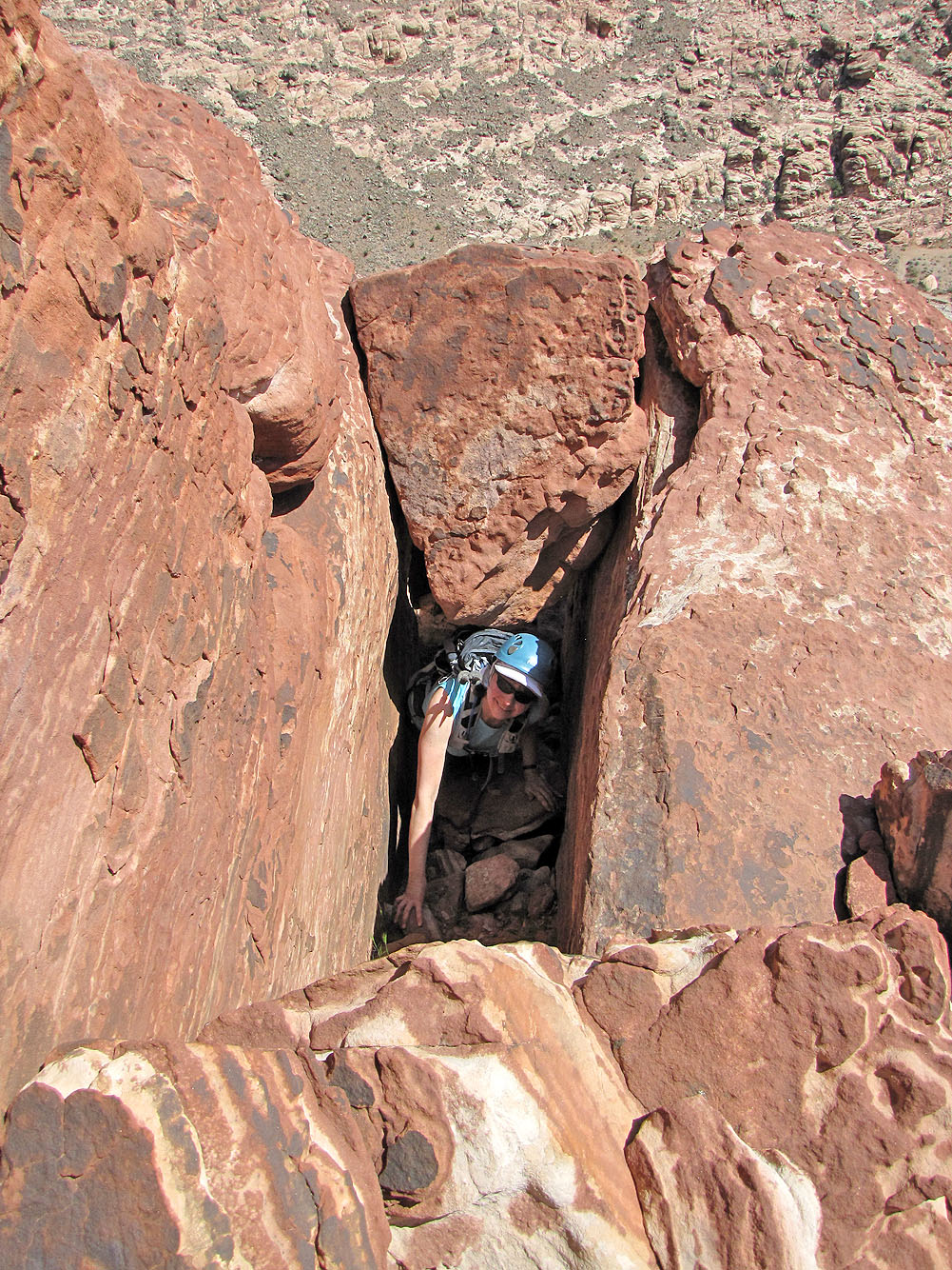
...but we found a tunnel!
Still climbing
Travel becomes easier higher up
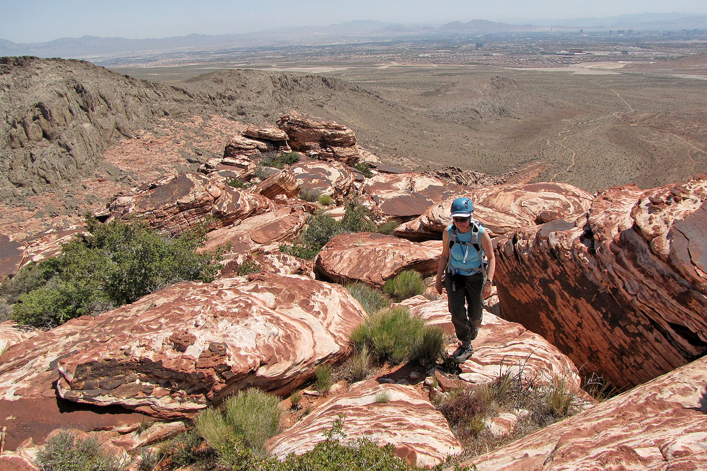
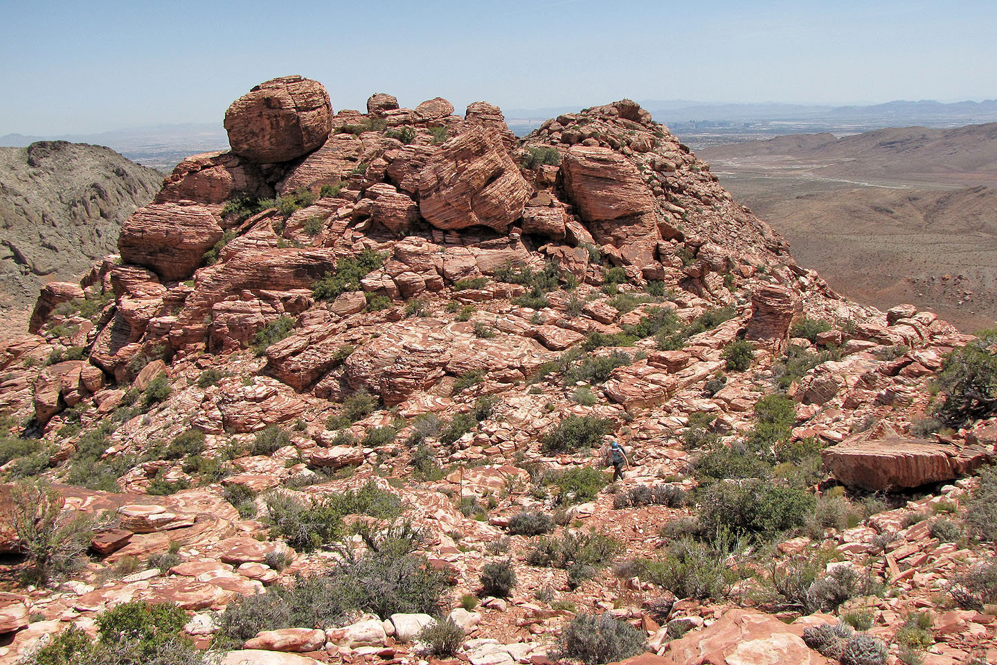
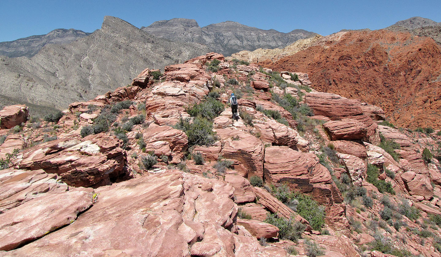
The ridge levels out
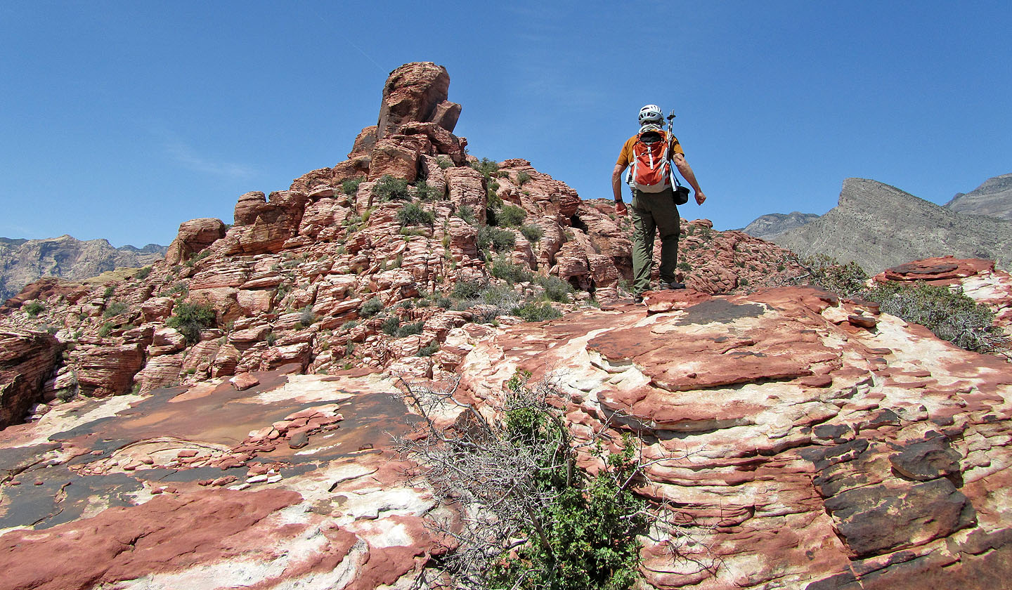
From the high point ahead, Big Bird Peak, we'll see the summit
Despite the routefinding and scrambling, the traverse to the summit took only 20 minutes
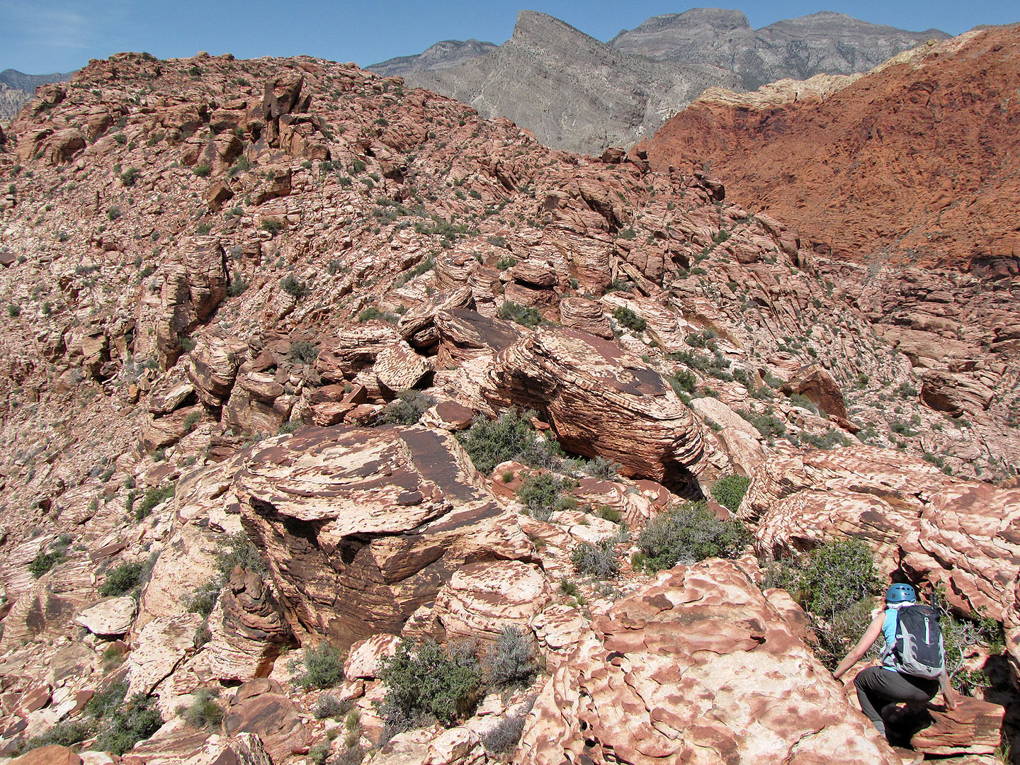
Looking back partway along the ridge
We lost a bit of elevation before reaching the summit
Climbing amid colourful boulders
Another look back
Nearly at the summit. On the skyline are Turtlehead Peak, El Padre and La Madre Mountains.
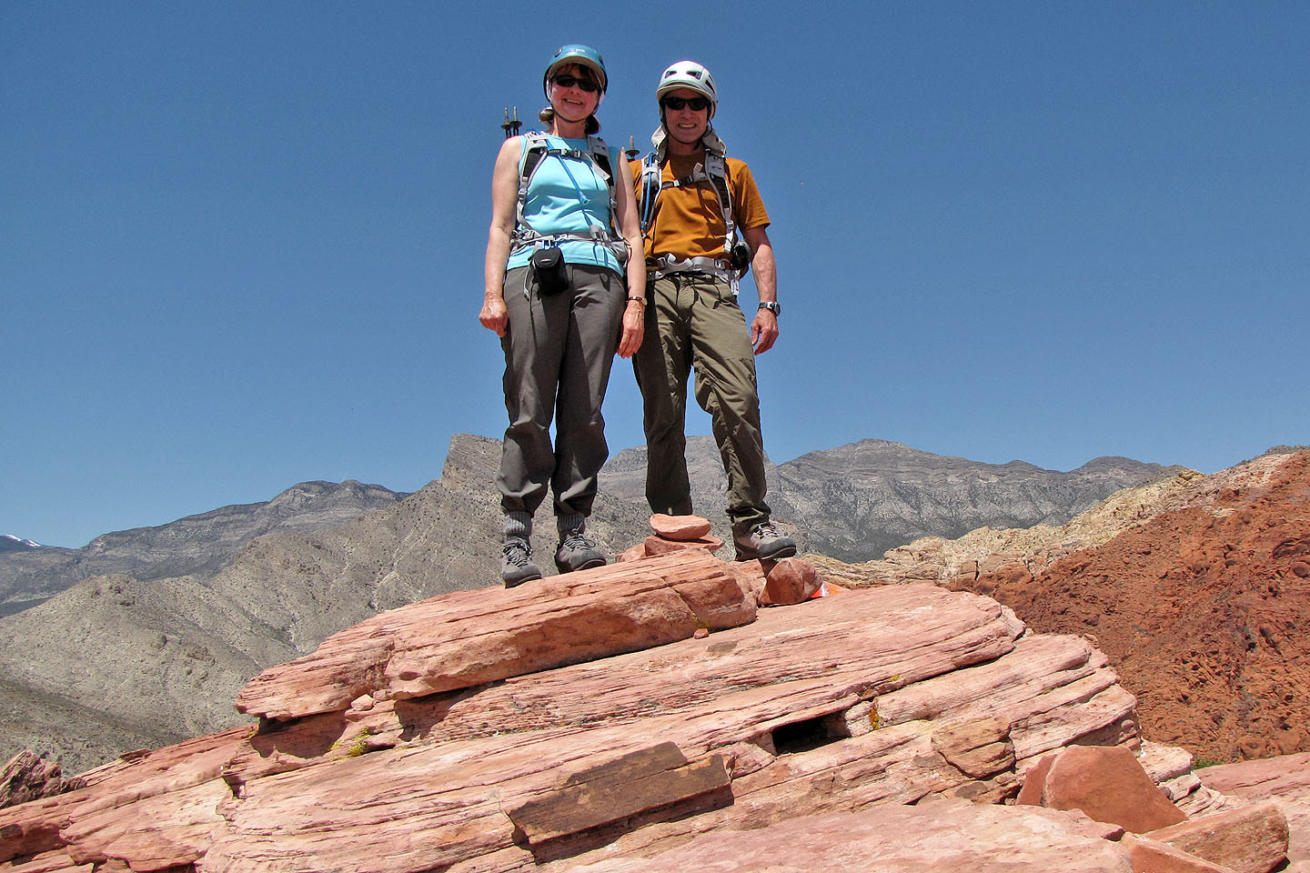
Obligatory summit pose
Heading back
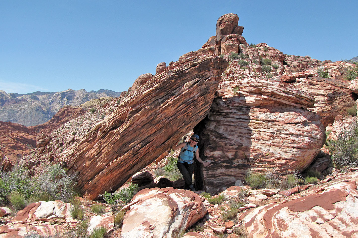
Dinah walks through a tunnel
We have no trouble retracing our steps
Back at the top of the ascent gully
La Madre Mountain
(2.5 mi, 4678 ft, 978 ft)