bobspirko.ca | Home | Canada Trips | US Trips | Hiking | Snowshoeing | MAP | About
Hector South Ridge
Banff National Park Alberta
March 5, 2005
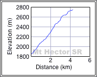
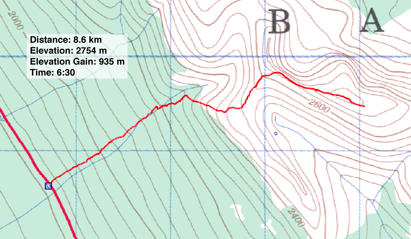
Distance: 8.6 km (5.3 mi)
Cumulative Elevation Gain: 950 m (3117 ft)
The unnamed ridge south of Mount Hector makes for an enjoyable ridgewalk. Dinah and I used the same approach as Mount Hector South Peak, following the tracks we made the week before. After 1.5 km we left the track and headed up the north slope. In a short time, we were out of the trees and on the crest of the ridge. We ditched our snowshoes for the final stretch and followed the ridge to the highest point.
Unlike our last three snowshoe trips, the weather was uncooperative. We started under sunny skies but it soon became overcast and windy. By the time we returned to the car, it was snowing.
Postscript: I returned in 2024 and enjoyed hiking up Hector South Ridge in the summer.
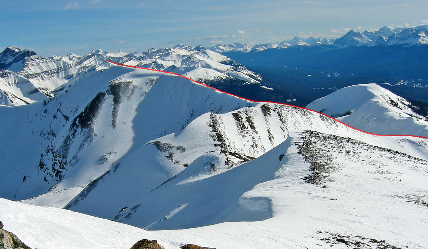
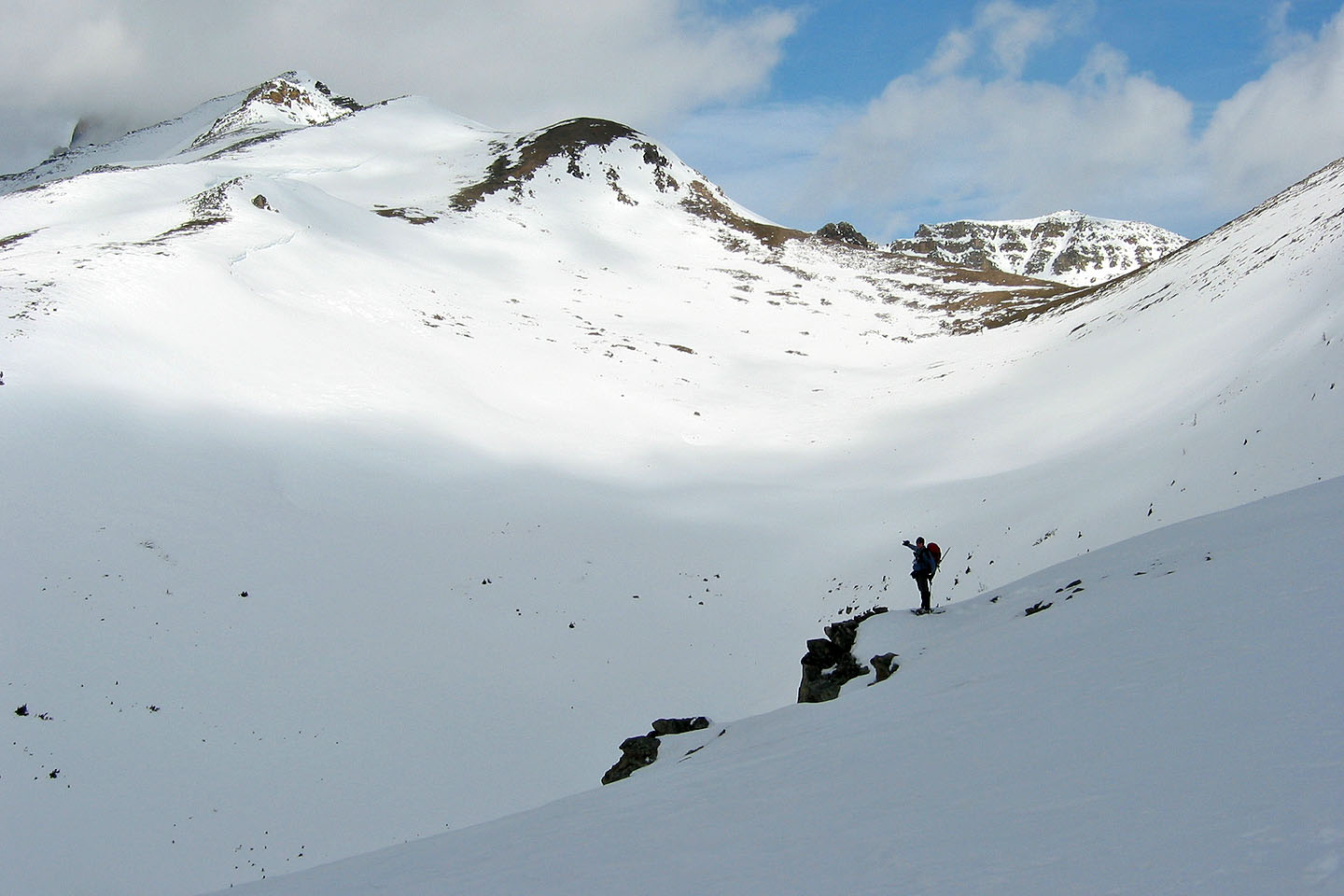
Looking at our route seen from our South Peak attempt:
we followed the ridge while avoiding cornices
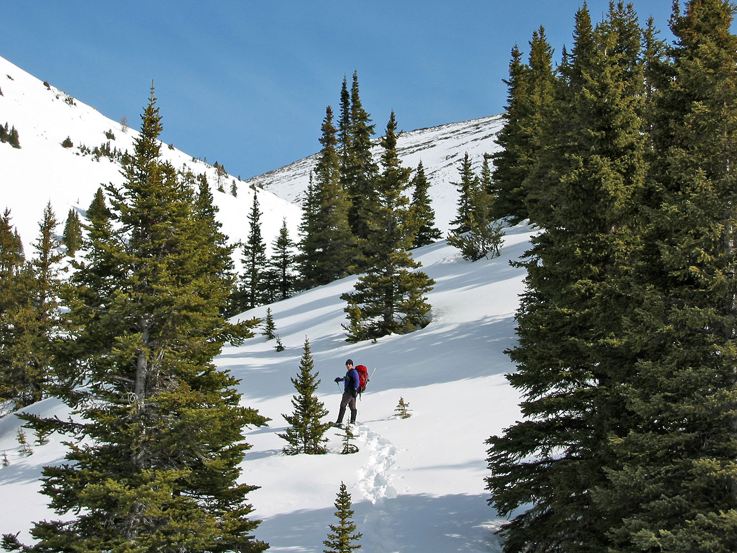
Heading up the lower slopes
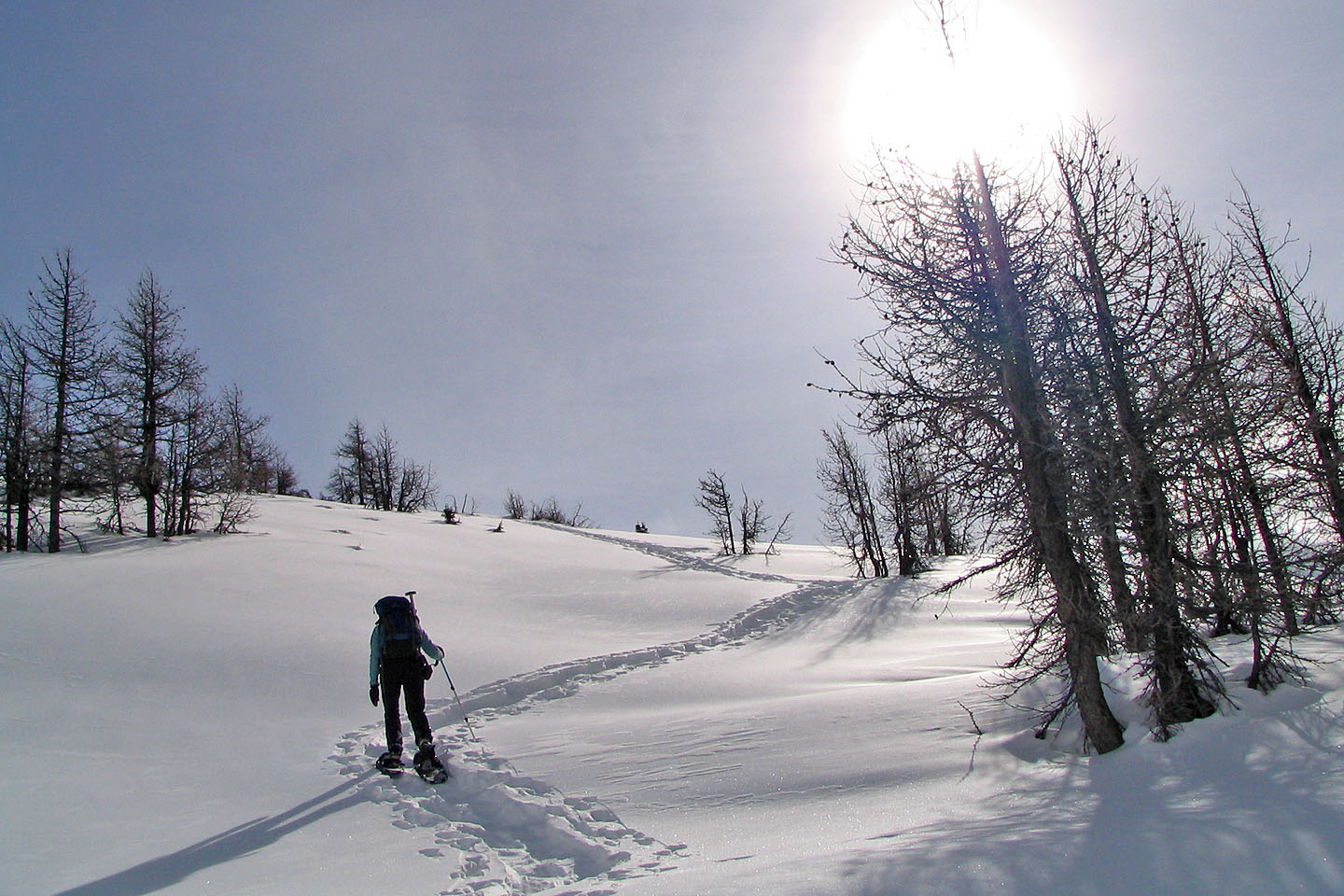
Snowshoeing through larch stands. We followed a trail that snowboarders made a week ago.
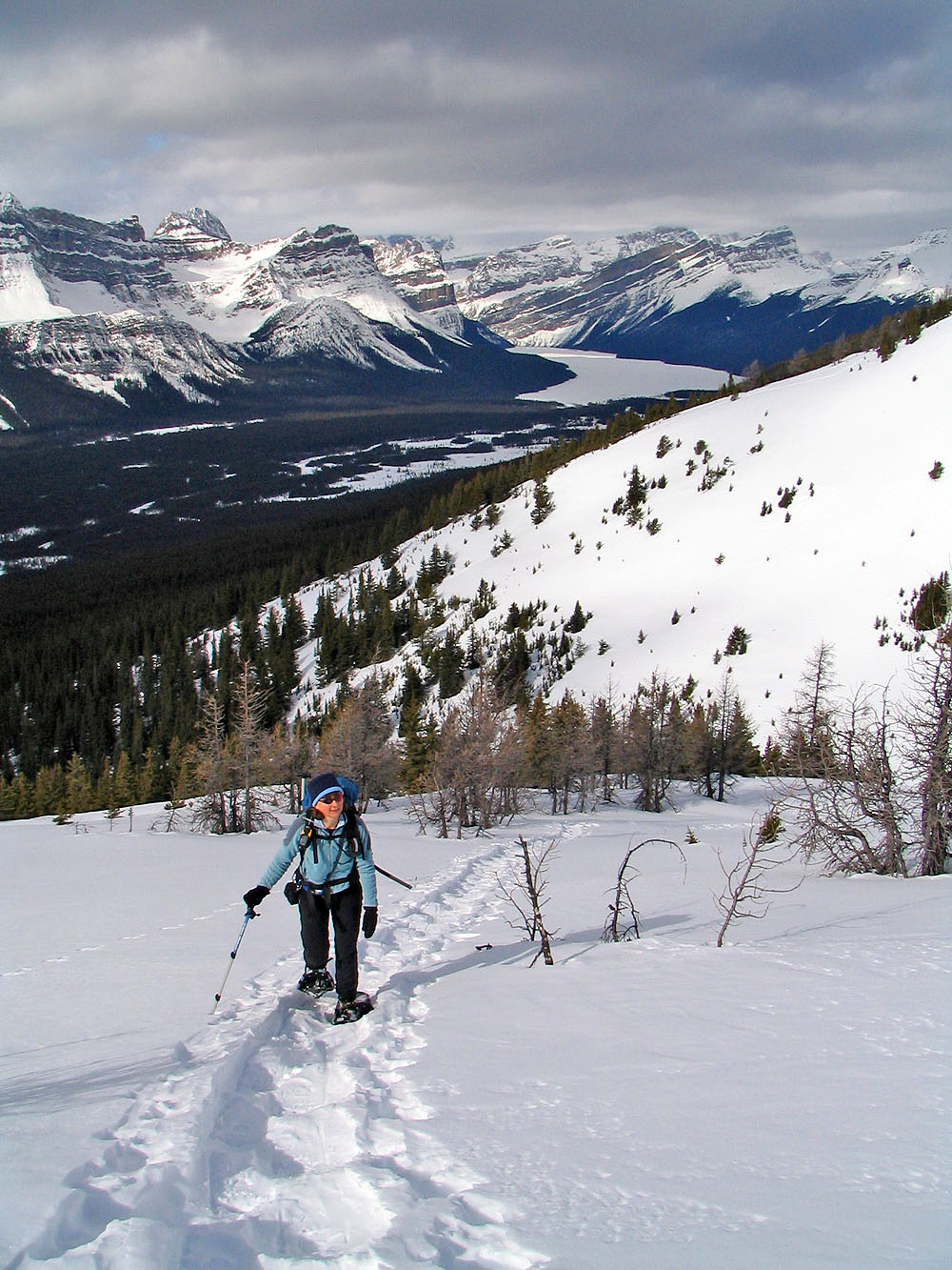
Behind is Hector Lake
Looking at the ridge leading to the South Peak of Hector
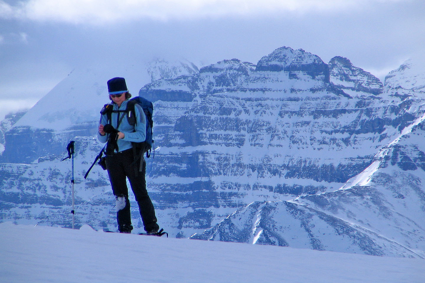
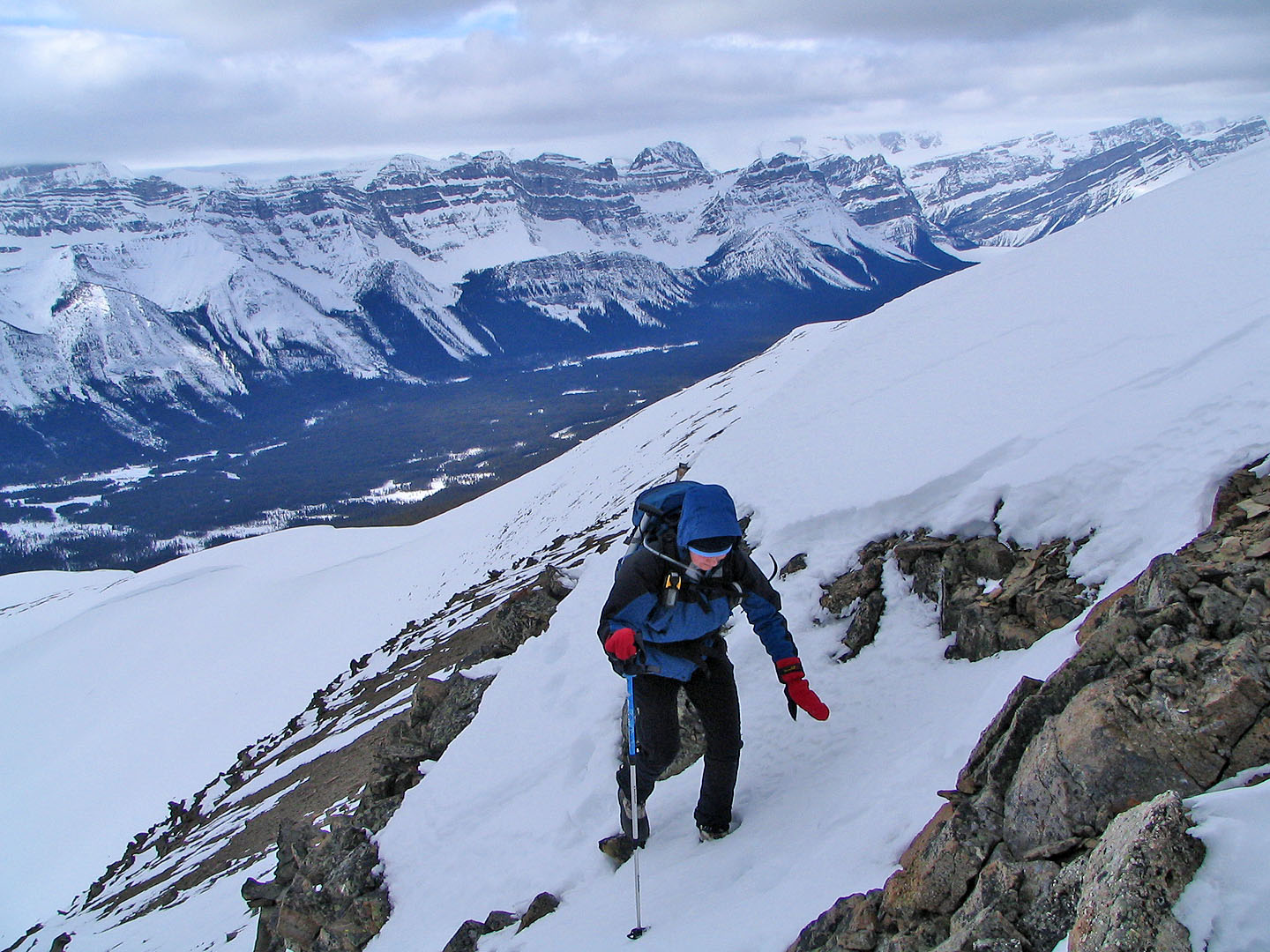
Dinah stops to add a layer to her hands
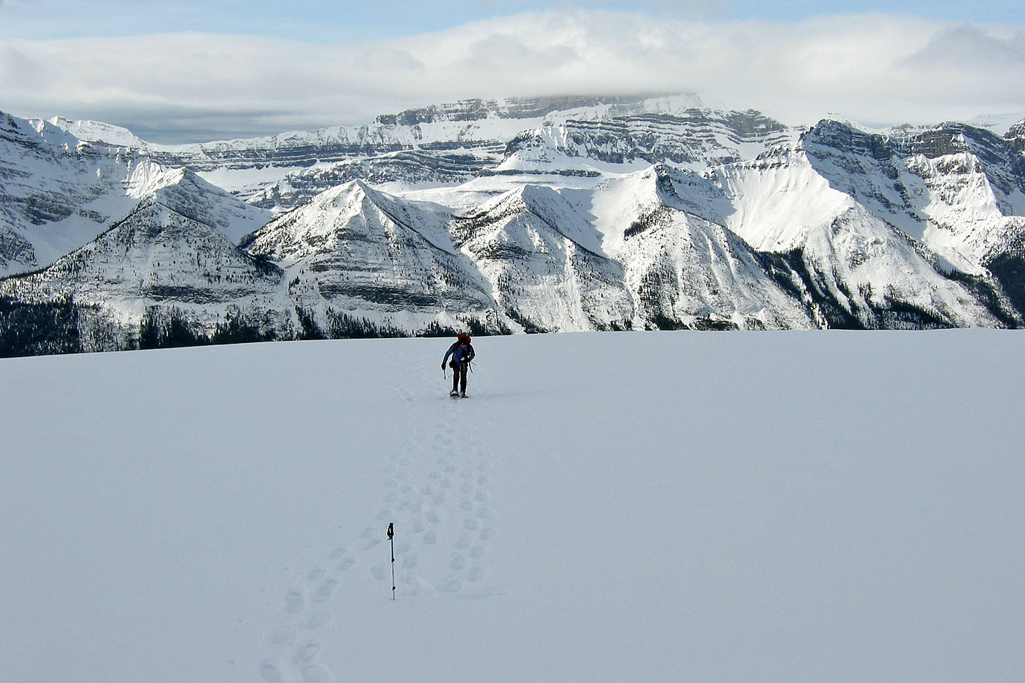
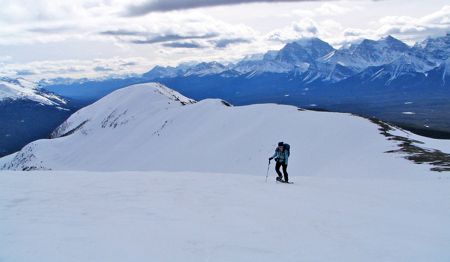
Lying west is the Waputik Range
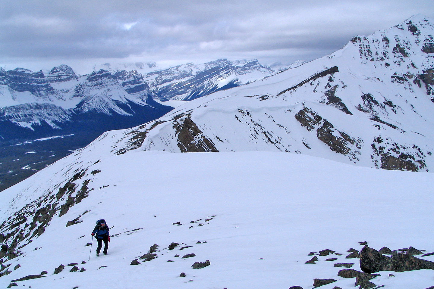
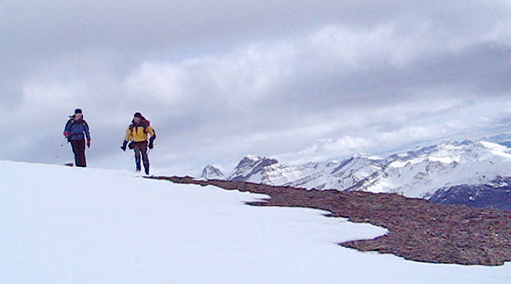
We'll follow the ridge to the end
We passed the Lower South Ridge
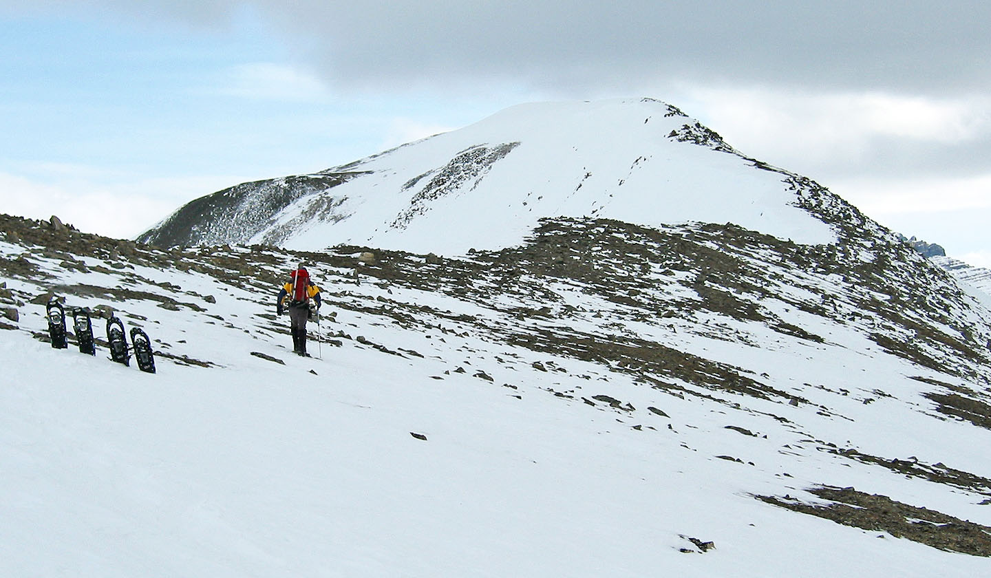
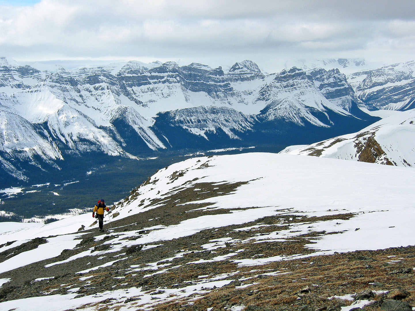
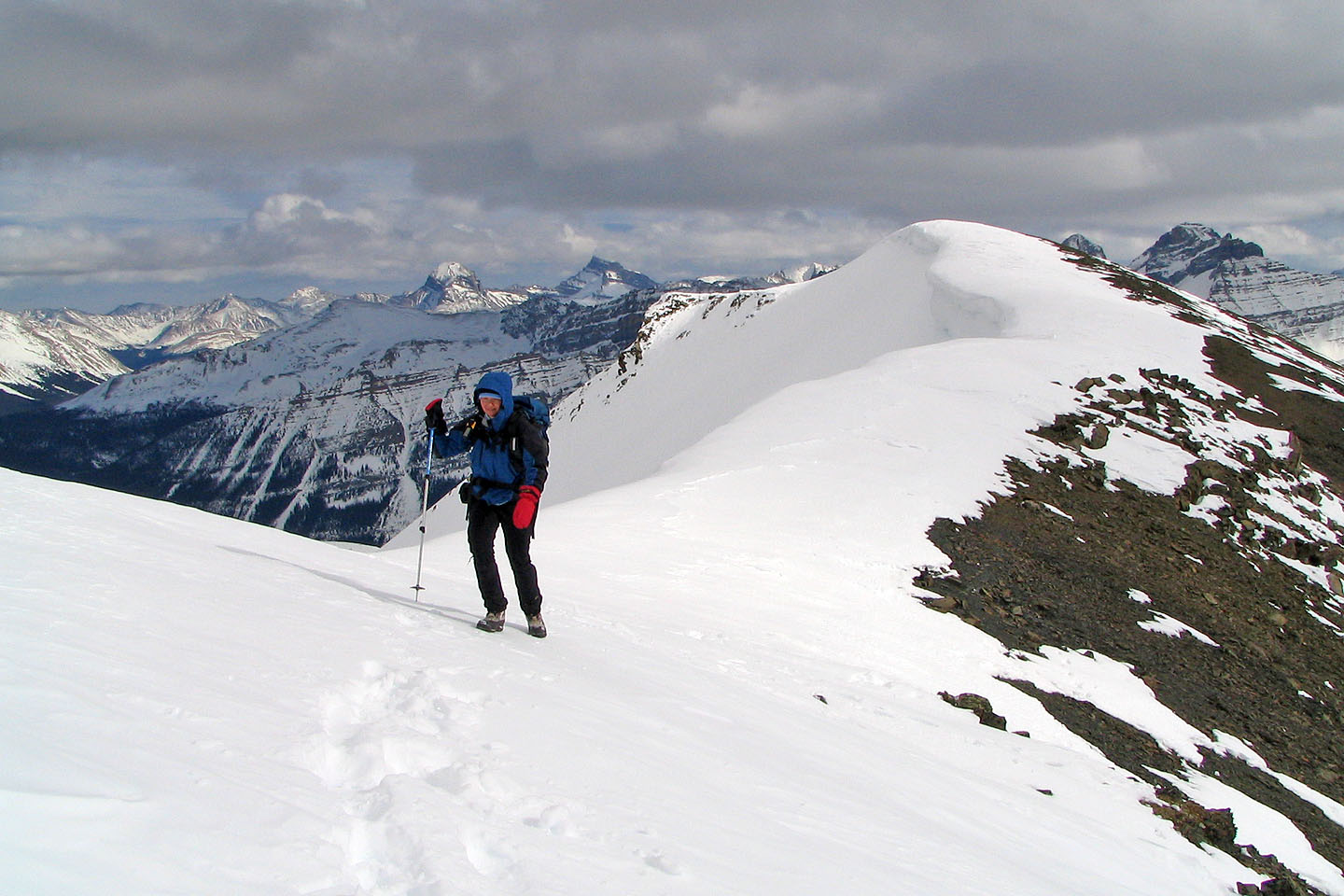
After climbing 800 m in snowshoes we left them behind and set off on foot. It's a kilometre to the summit from
here. Ahead is a false summit.
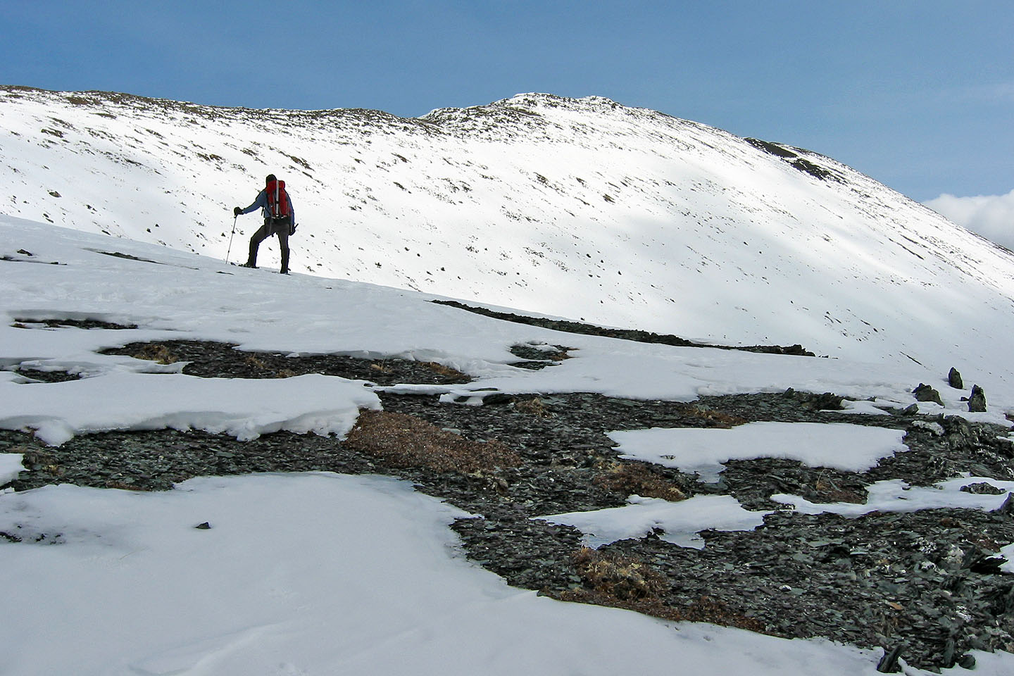
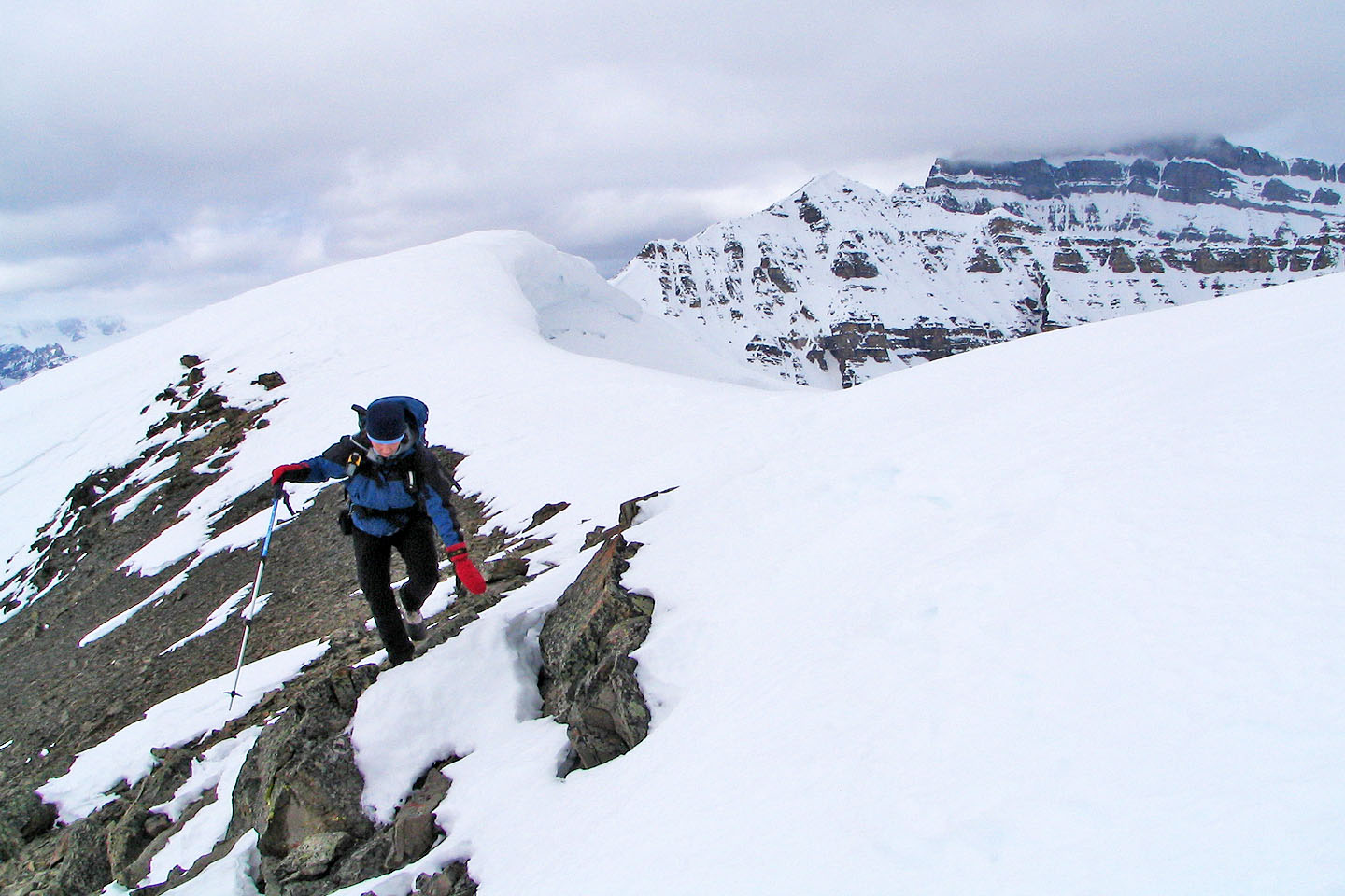
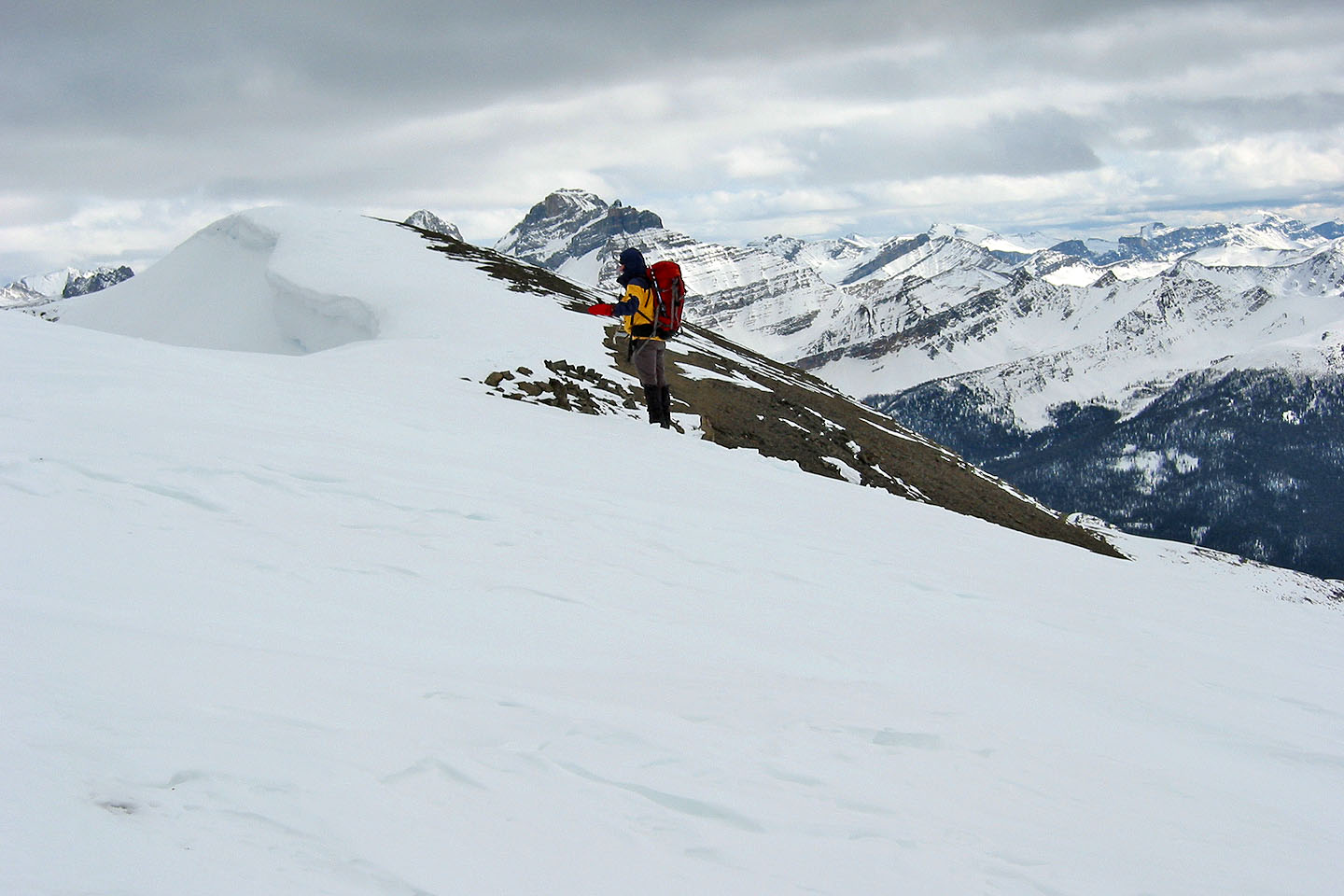
Having dropped our snowshoes, we tried to keep on the rocks
It's mostly a hike but here we had to negotiate some rocks
 Back on the ridge
On the right is Mount Hector, its summit hidden by clouds
Looking back
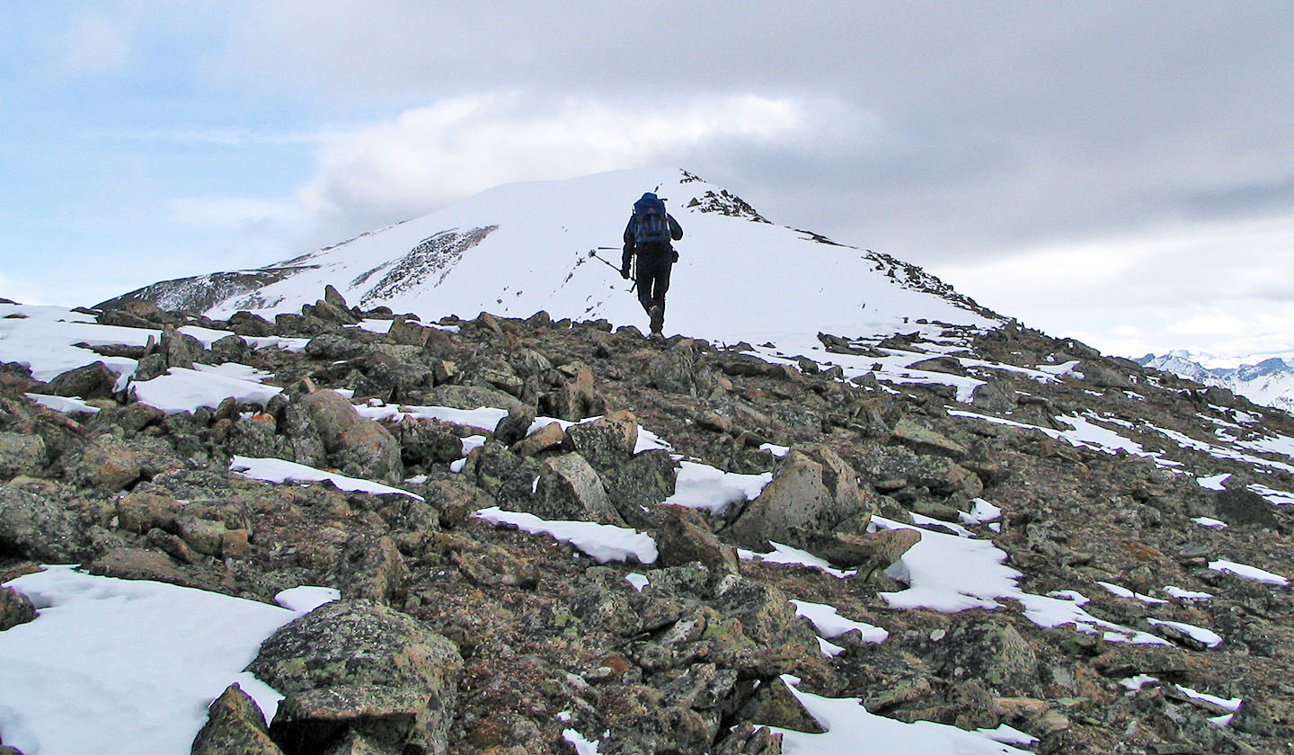
After encountering a few false summits we see the real thing ahead. A cairn marks it but it's mostly buried
under snow.
The summit cairn is barely visible, just a rock above the snow
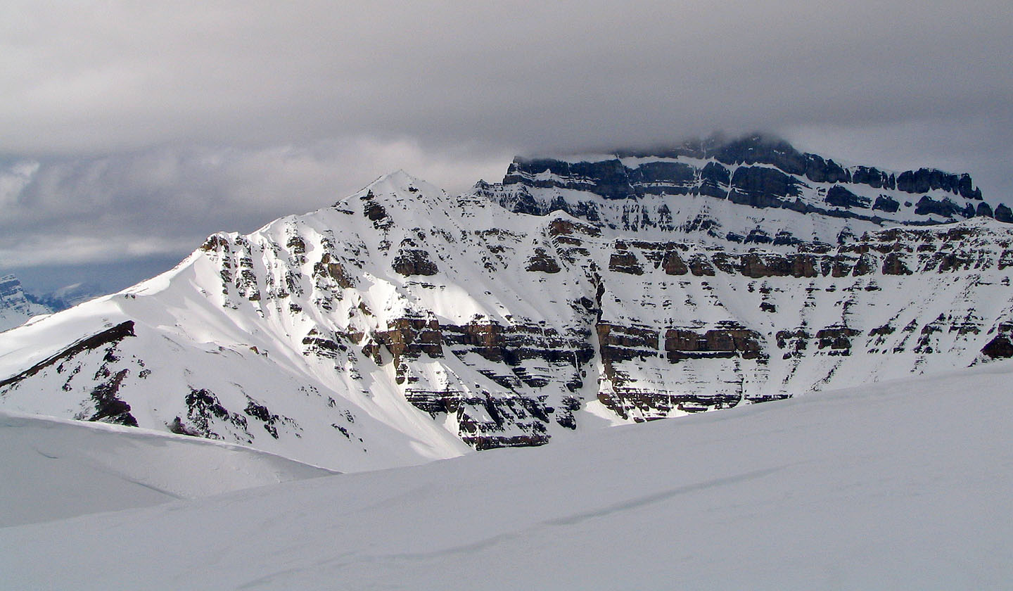
Mount Hector
The sun made a brief appearance as we started back
82 N/9 Hector Lake