bobspirko.ca | Home | Canada Trips | US Trips | Hiking | Snowshoeing | MAP | About
Hector South Ridge
Banff, Alberta
August 18, 2024
Distance: 8.8 km (5.5 mi)
Cumulative Elevation Gain: 935 m (3068 ft)
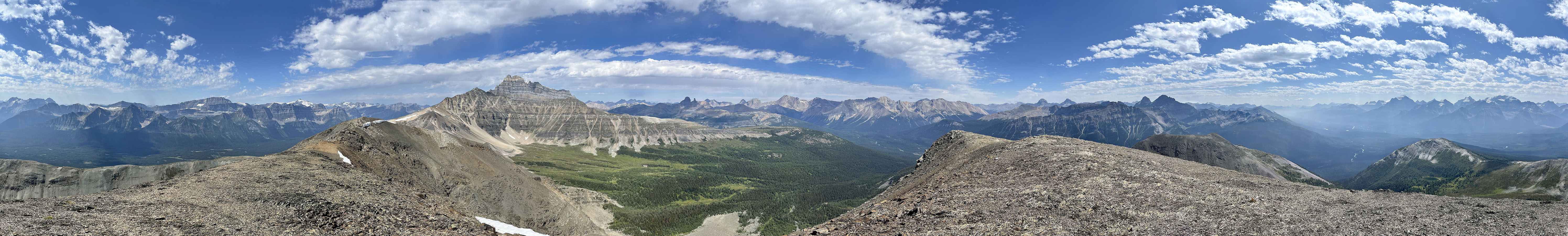
The South Ridge of Mount Hector is as good a summer hike as it is a winter snowshoe trip. Bushwhacking was easier than I expected, with minimal deadfall and abundant passages through the forest. The mountain scenery was just as fine, although there was much less snow and more gray rock showing.
The only difficulty was finding a place to park. Much of the roadside was bushy or angled, but we found a small, flat spot on the west shoulder of Highway 93, large enough to park a couple of feet from the white line, well away from passing vehicles. Zora, Suzy and I crossed the highway and started up the forested slope. We hiked straight up, as much as the trees and bushes allowed.
Our hike began under a low cloud, and soon we were hiking through misty woods. Unknowingly, and while still in the forest, we climbed above the cloud. So we were surprised and in awe when, upon reaching a clearing, we saw a cloud filling the valley below us. Poking above the cloud layer were notable peaks such as Mount Temple and Waputik Peak.
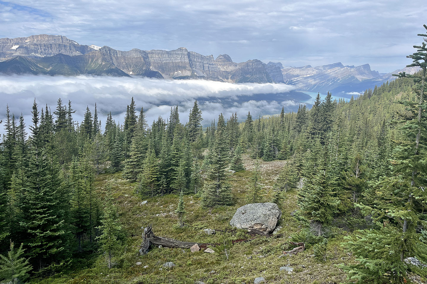
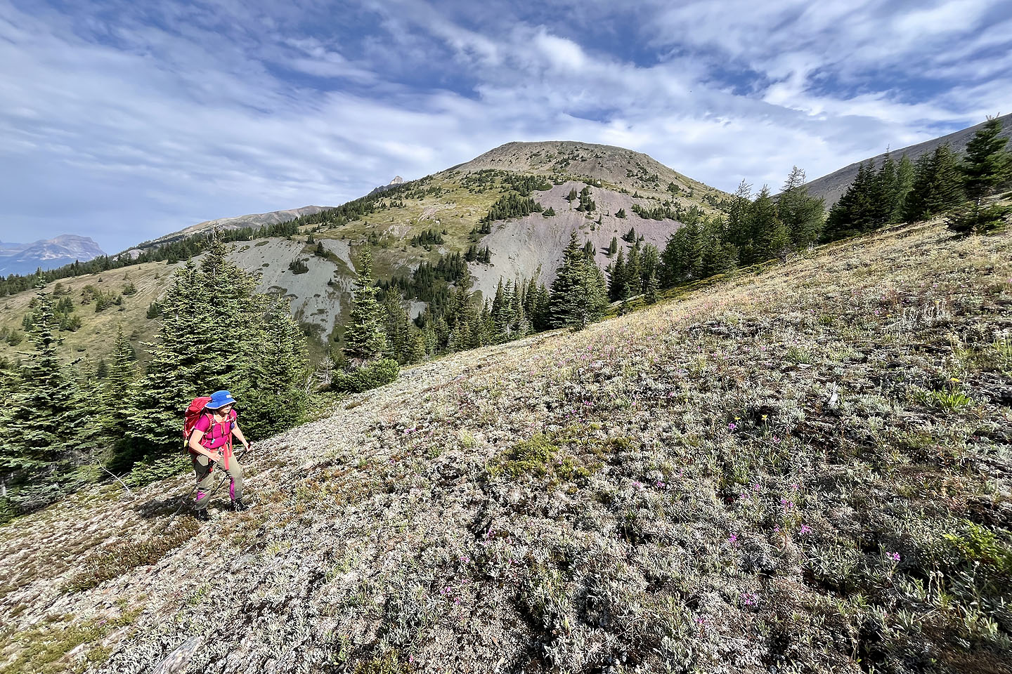
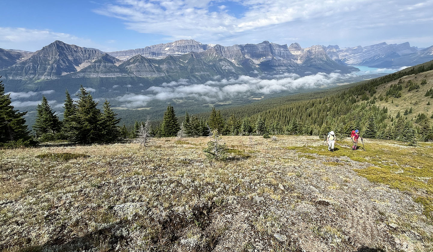
We continued up the slope through a patchy forest, a mix of trees and small clearings. We angled left to reach the open slope sooner but came down more directly on the descent. Continuing up, we soon broke out onto an alpine plateau where we caught sight of the South Ridge on our left. We crossed the plateau and hiked up to the ridge crest. Once on the rocky ridge, we followed it to the summit. We spent an hour on top in calm air, soaking in the views before heading back down.
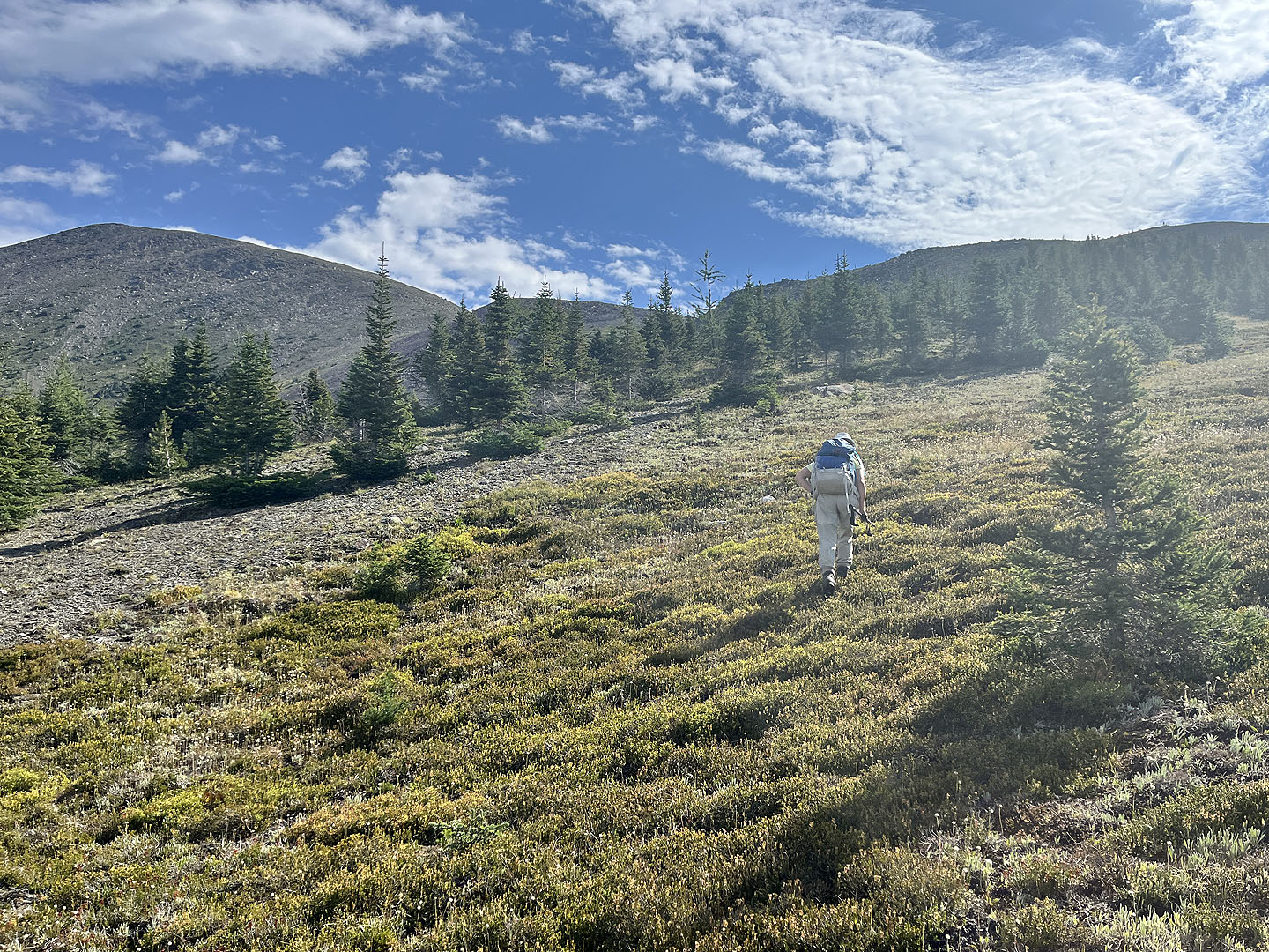
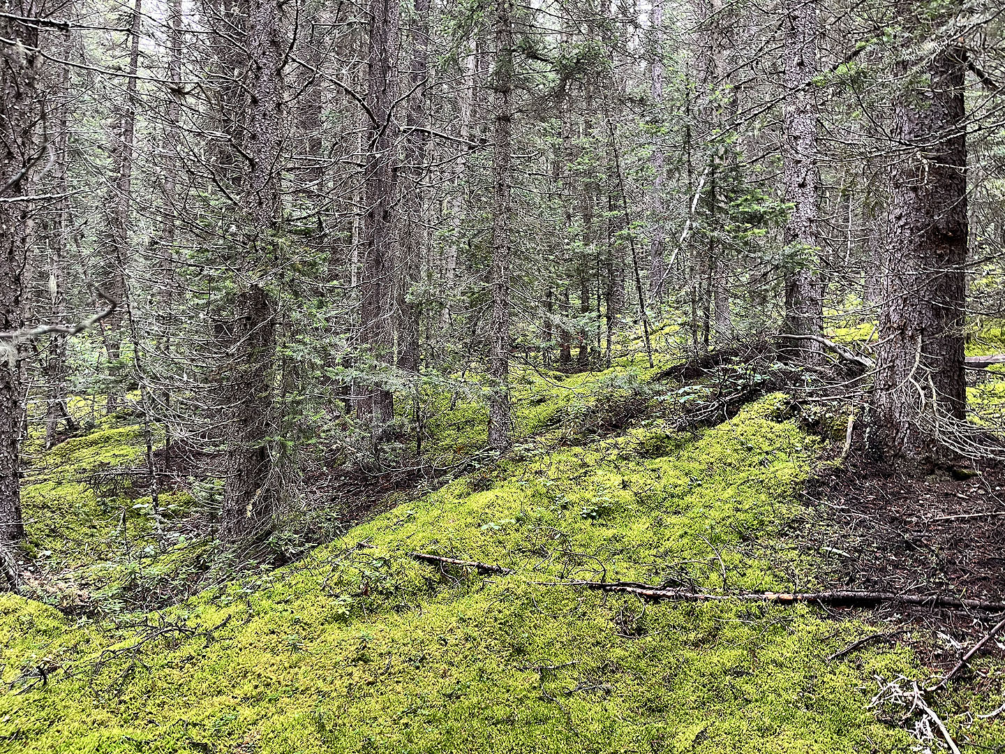 Soft moss covered the forest floor on the lower slopes
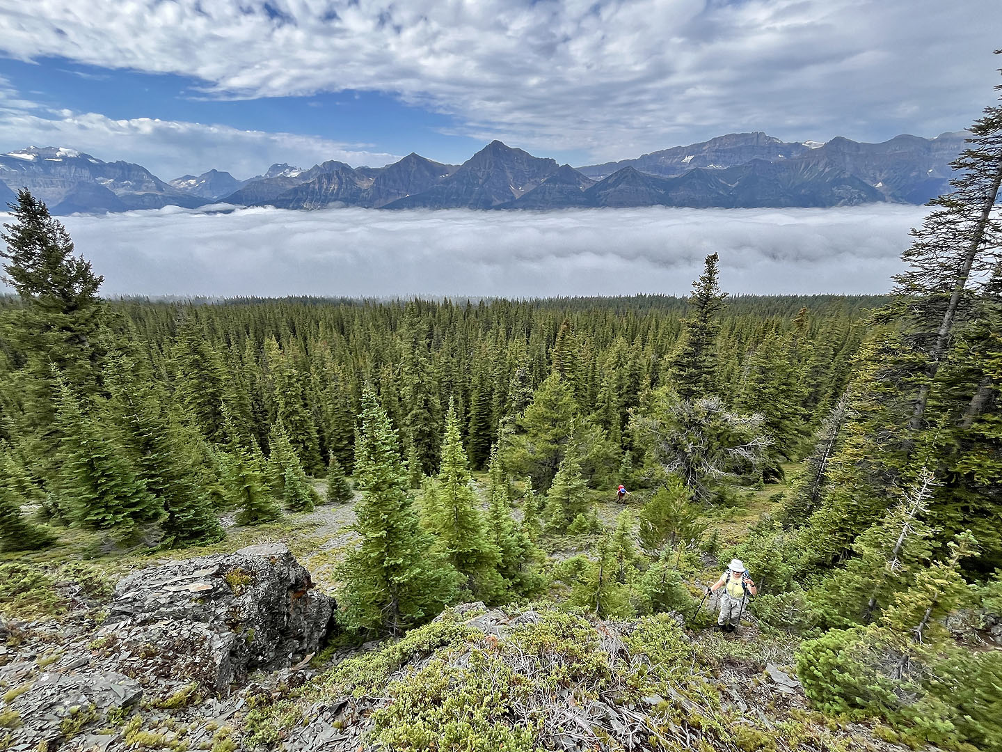 We reached a steep, open slope to find we had climbed above the cloud
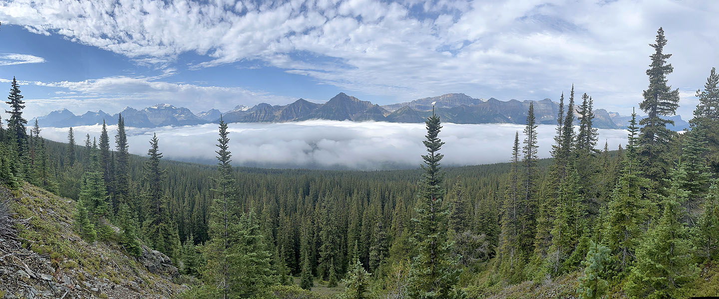 The cloud filled the entire valley
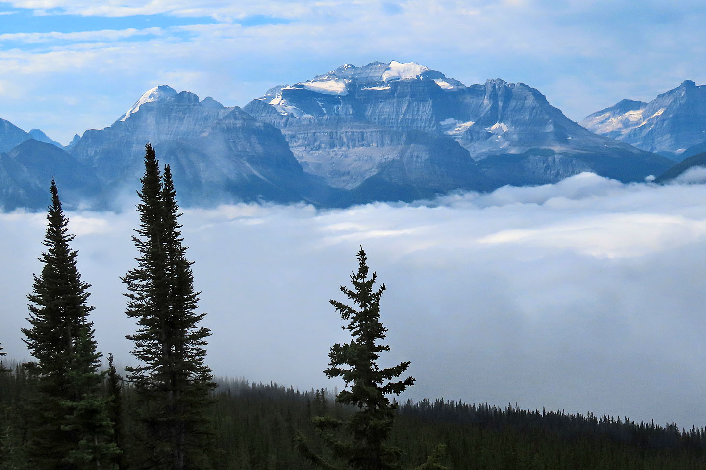 Mount Temple
 Ten minutes later, the cloud began to dissipate
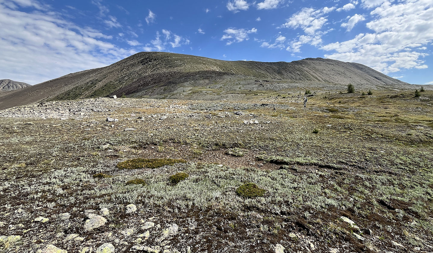
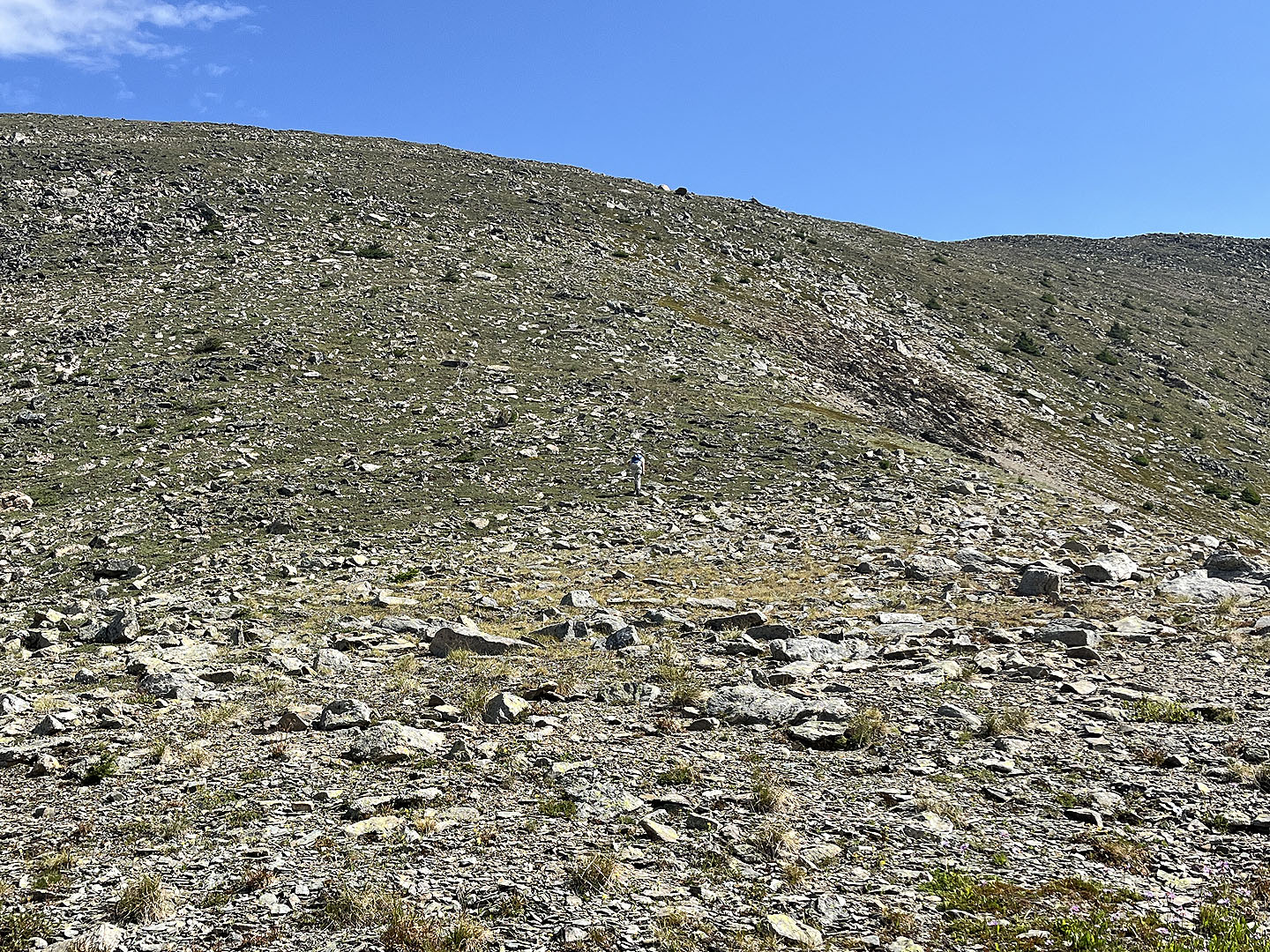
 We finally reached the open slope
 The cloud is nearly gone. Waputik Peak on the left.
 We headed to the ridge on the left
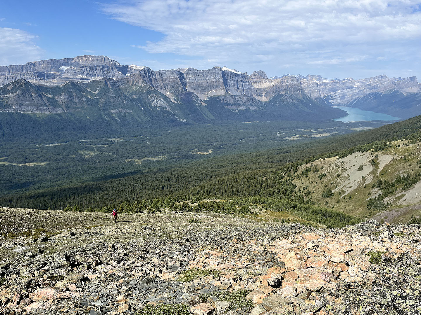 Mount Daly on the left. Hector Lake on the right.
 The South Ridge came in view. Zora appears right of centre.
 On the left is the Lower South Ridge
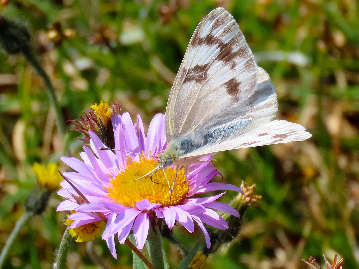 A checkered white butterfly feeds on an aster
 Zora, barely visible in the centre, starts up the ridge
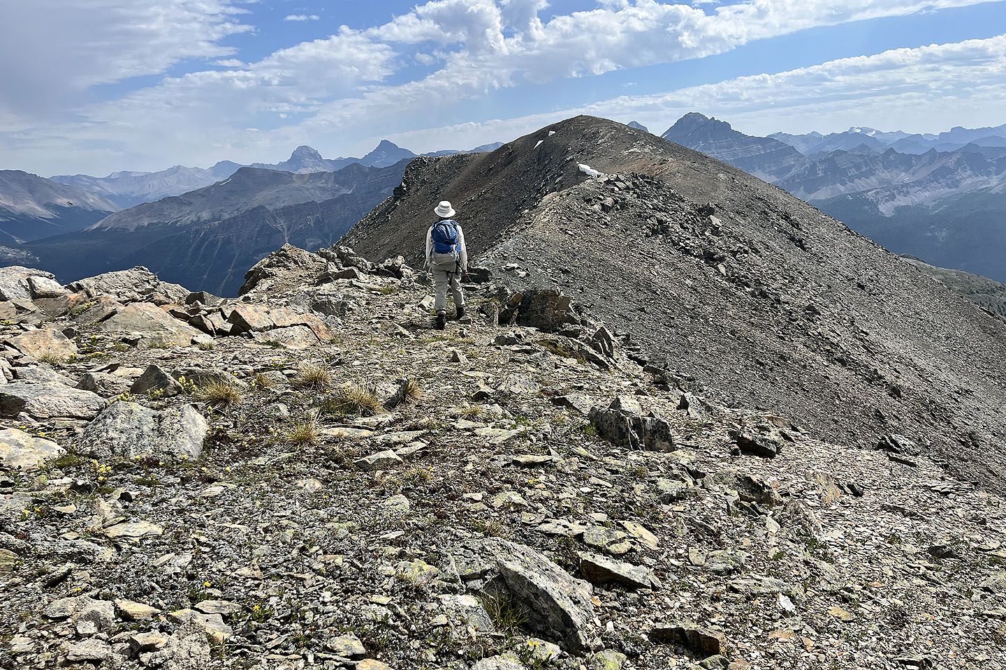
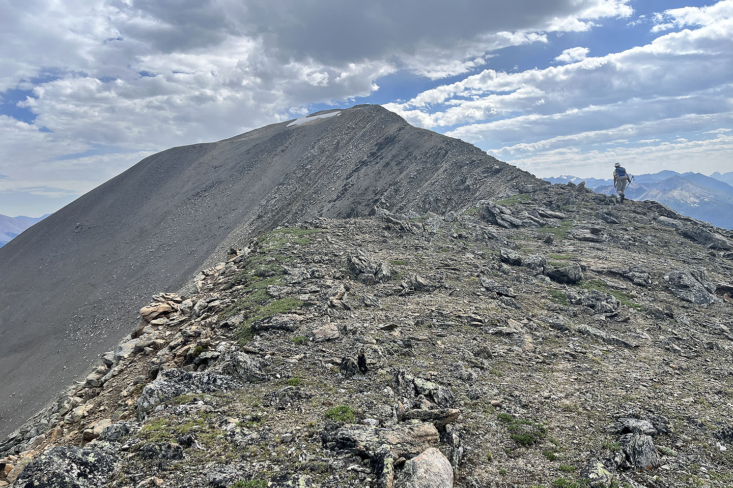 Hiking up the ridge towards a false summit
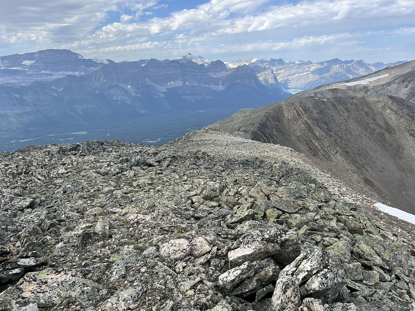 Looking back
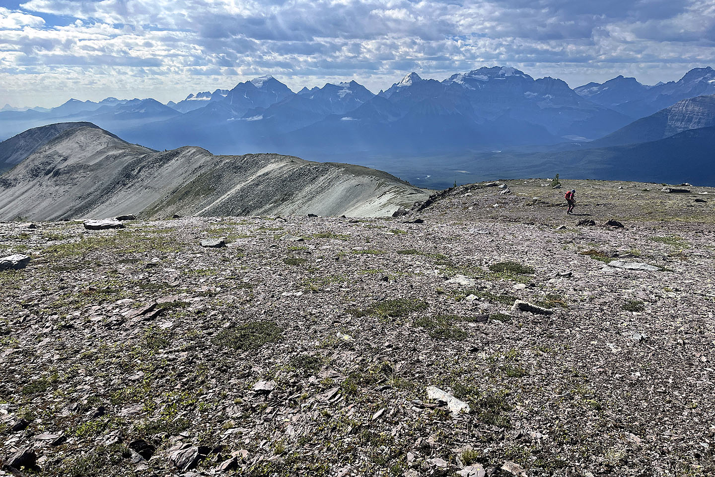
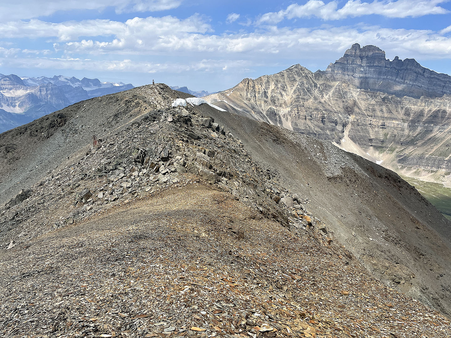
 The summit appears ahead
 Looking back from the summit as Suzy reaches a high point. Mount Hector on the right.
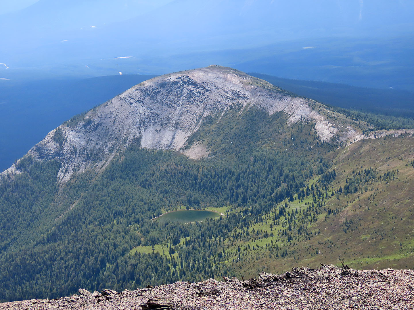 Hector Point lies at the end of the Lower South Ridge
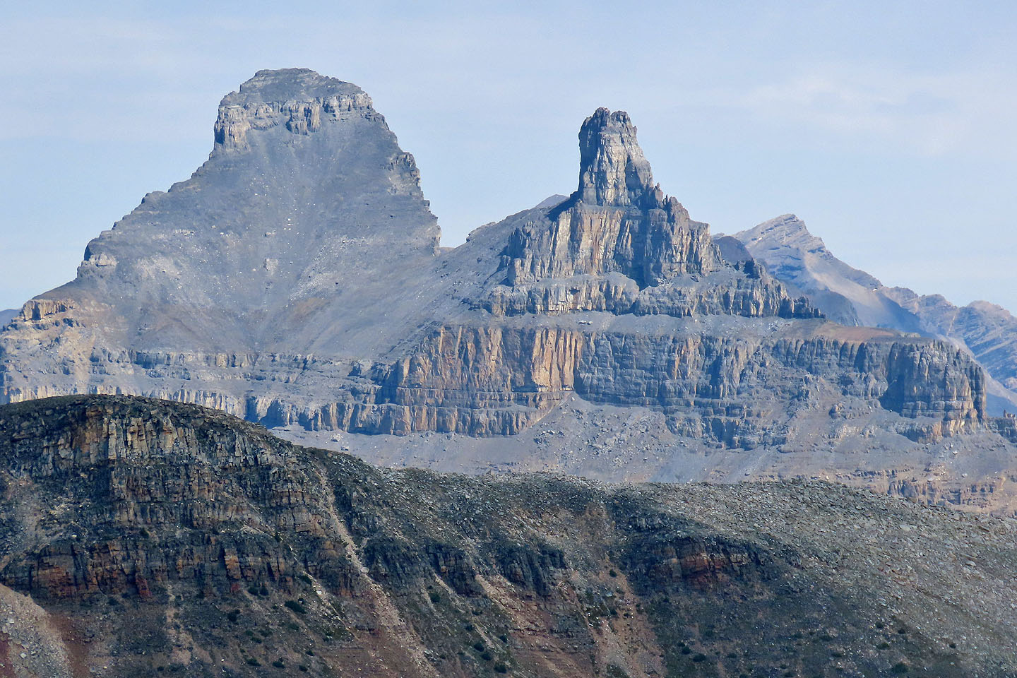 Merlin Castle
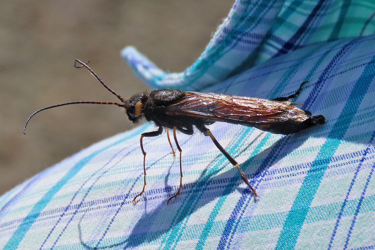 A horntail wasp, about 1.5 inches long, repeatedly landed on us while we sat on the summit
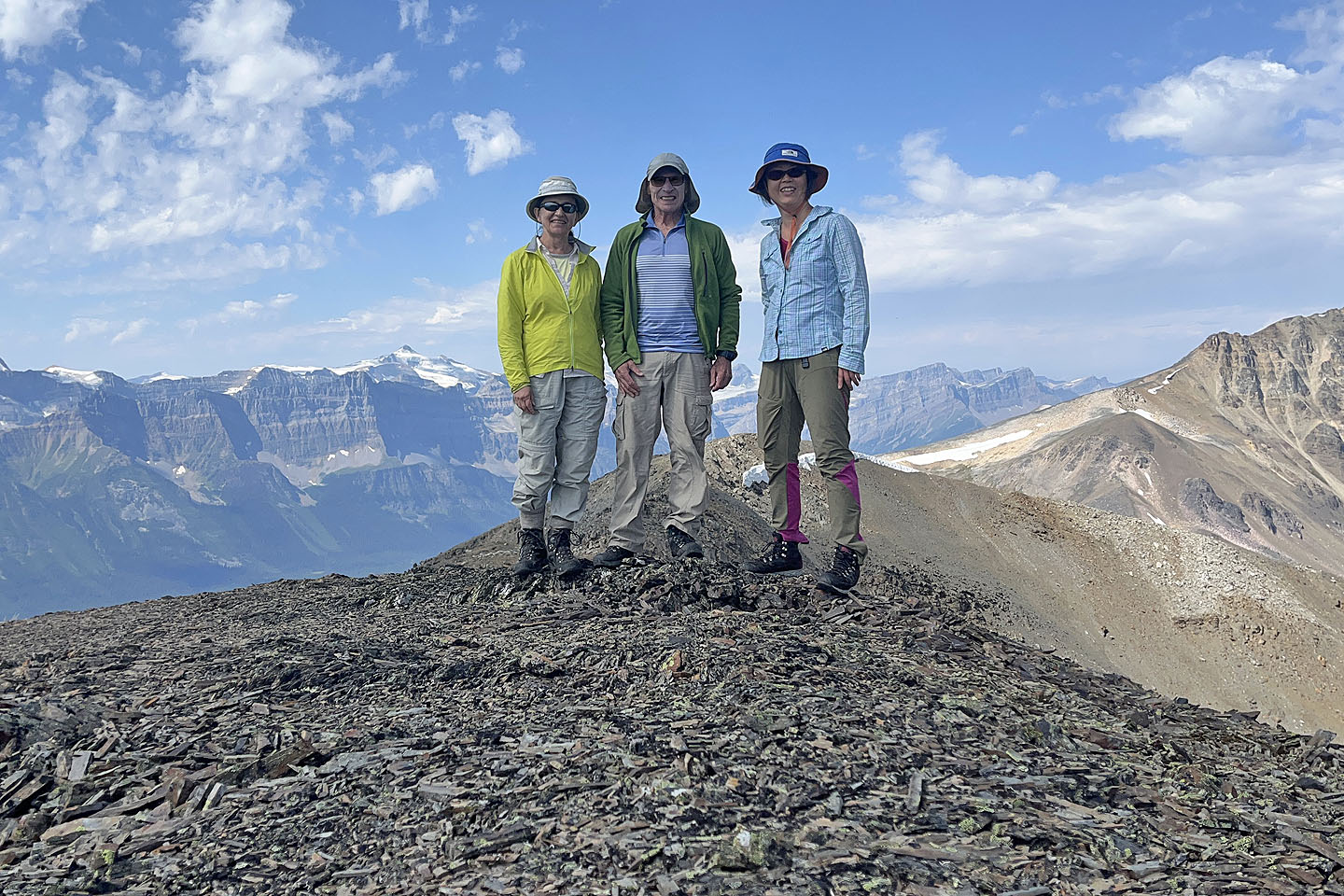 Zora, me and Suzy on the summit
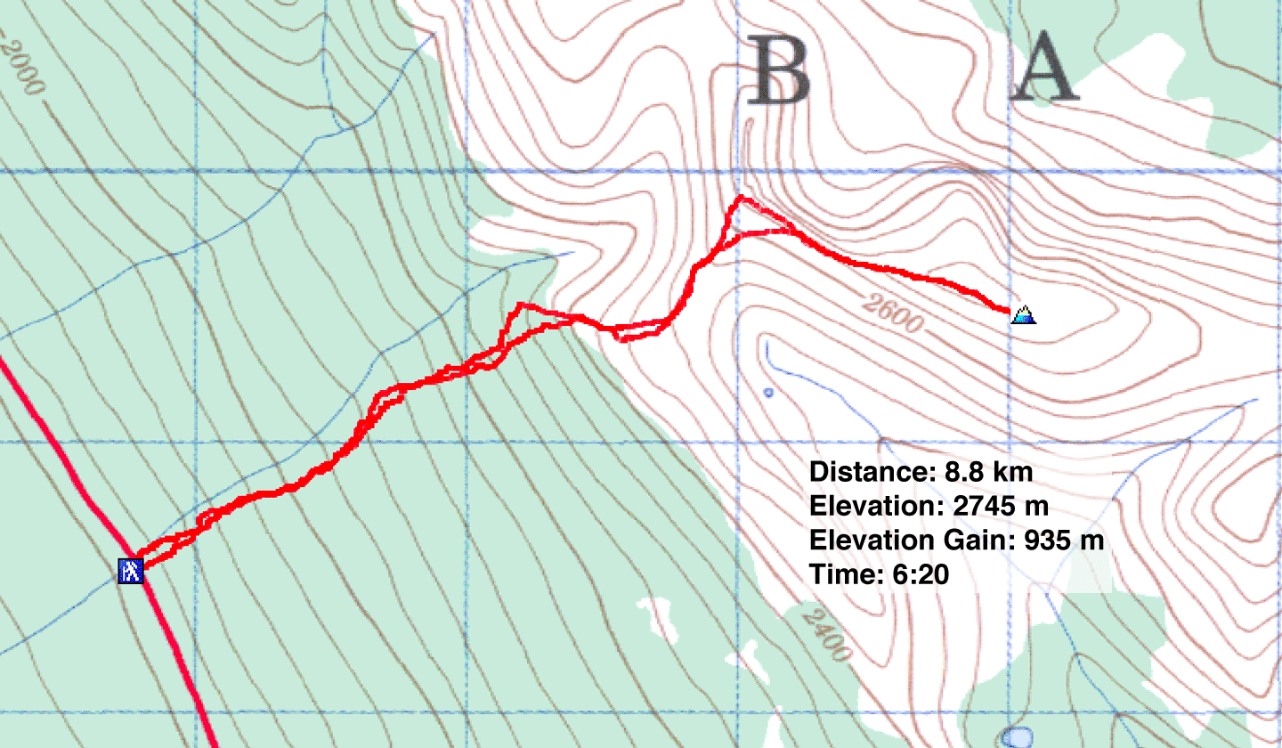
82 N/9 Hector Lake