bobspirko.ca | Home | Canada Trips | US Trips | Hiking | Snowshoeing | MAP | About
Sheep East Peak
Bob Creek Wildland, Alberta
November 22, 2008
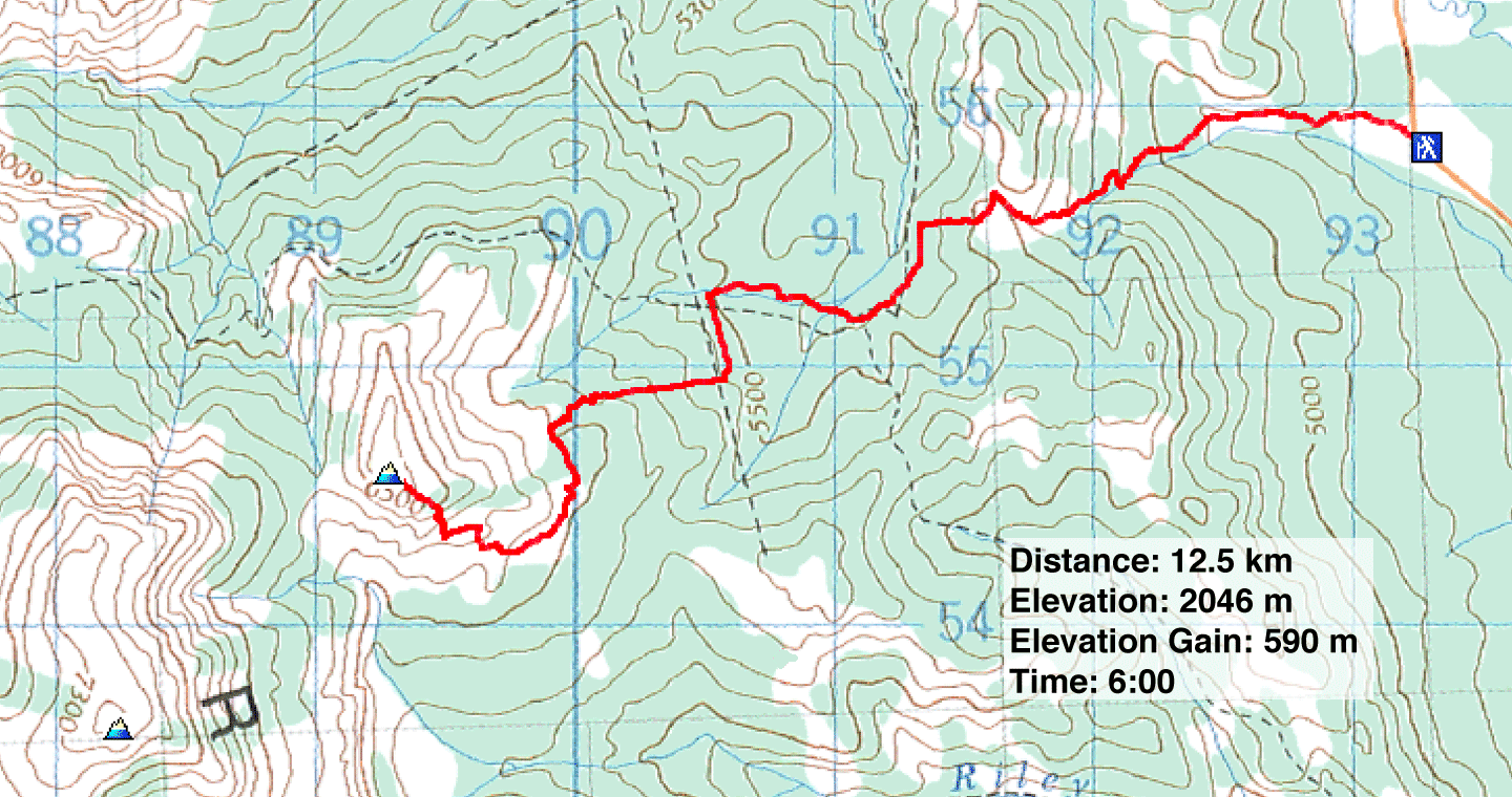
Distance: 12.5 km (7.8 mi)
Cumulative Elevation Gain: 714 m (2343 ft)
This trip became a reconnaissance for Sheep Peak rather than an attempt, but we underestimated how long it would take given the amount of daylight we had. Routefinding cost us time, and since we didn't want to risk bushwhacking back to the car after nightfall, we decided to abort our attempt. Instead, Dinah and I took the time to establish a good approach and climb an outlier east of Sheep Mountain that I'll call Sheep East Peak
Sheep Mountain lies east of Coffin Mountain. The Rocky Mountain Ramblers used a west approach from the forestry trunk road, while we approached it from the east from Saddle Mountain Road. A big advantage with an east approach is that the access road doesn't close in winter. After studying the map, I determined a possible route which included bushwhacking, 4x4 roads and cutlines. The route begins by following the right side of a drainage to reach the top of an intervening ridge. After that, the route is difficult to describe.
After a bad start, including going up the wrong drainage, the route unfolded well. Determined not to make any more errors, we made frequent stops to check our bearings against the map. We were especially fortunate to come across a cutline, not on the map, that saved us a lot of bushwhacking.
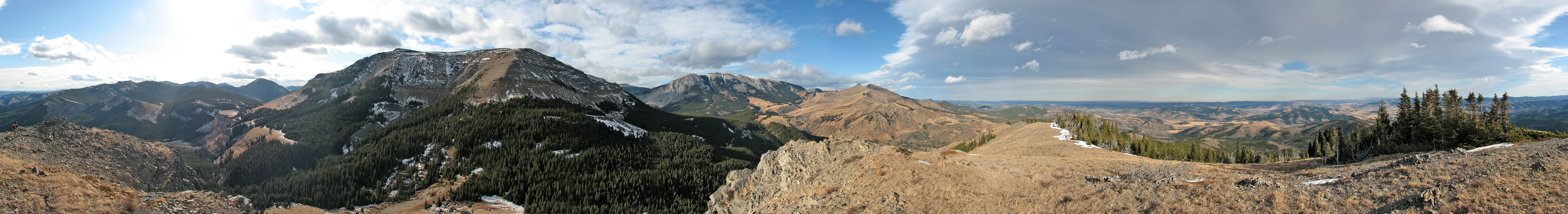
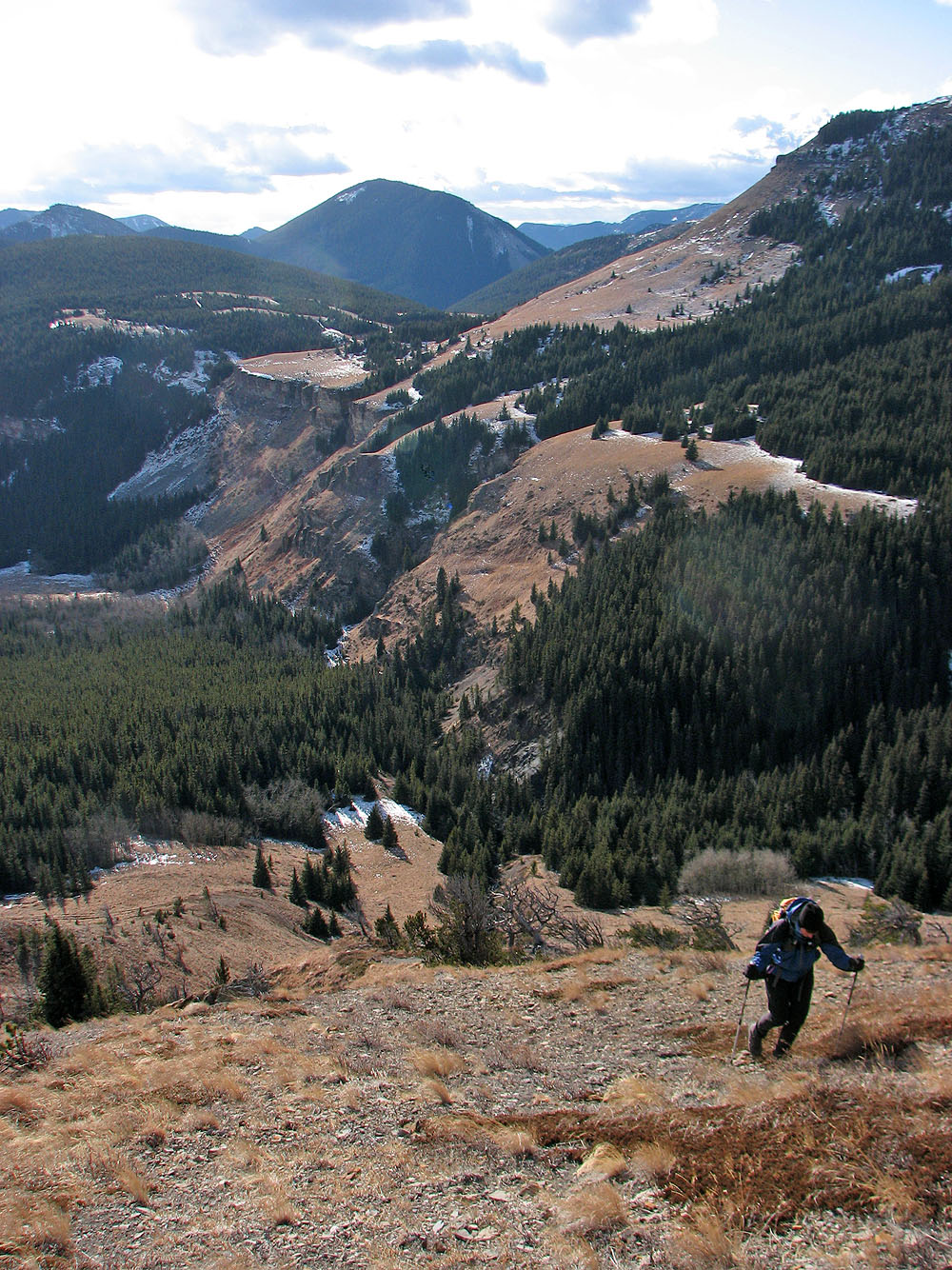
After reaching the lower slopes of East Peak, we contoured around the side to study a route up Sheep Mountain. Then we climbed the outlier. Despite being 250 m lower than Sheep Mountain, East Peak provided fine views of the area, and the approach, complicated as it is, was interesting.
On the return trip, we diverged slightly to do some exploring to improve our route; we wouldn't be slowed by routefinding when we returned to climb Sheep Mountain. Fortunately this area enjoys an extended snow-free season, so we'll be back when the days are longer.
Although I wasn't stopped and saw no signs to the contrary, I cannot be sure trespassing is allowed here. Gerry Richardson, Event Coordinator Calgary Outdoor Club, emailed me a caveat.
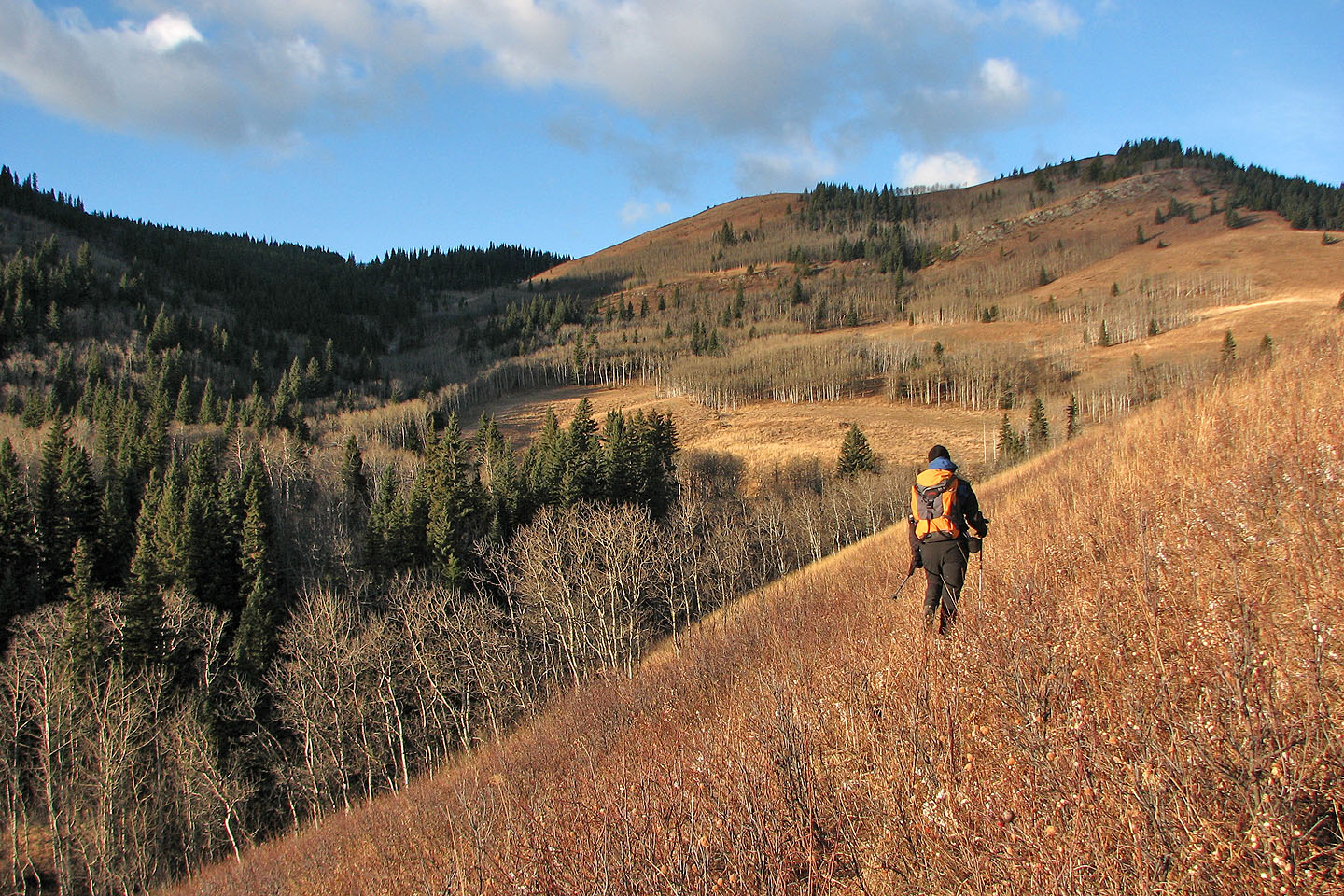
First we needed to climb over the intervening ridge ahead of us

From the intervening ridgetop: Sheep Mountain is partially hidden by East Peak
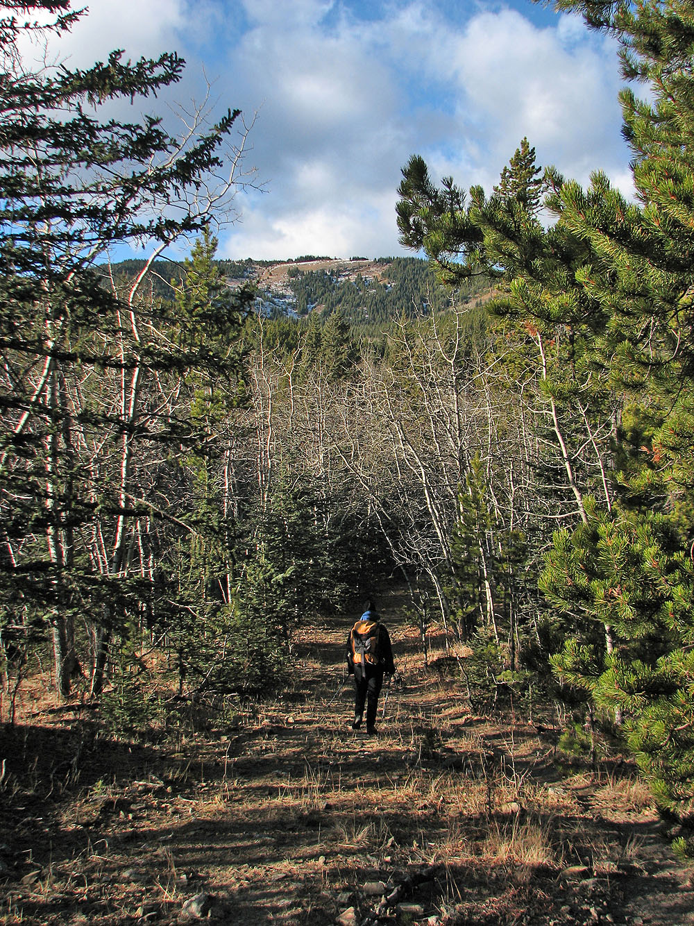
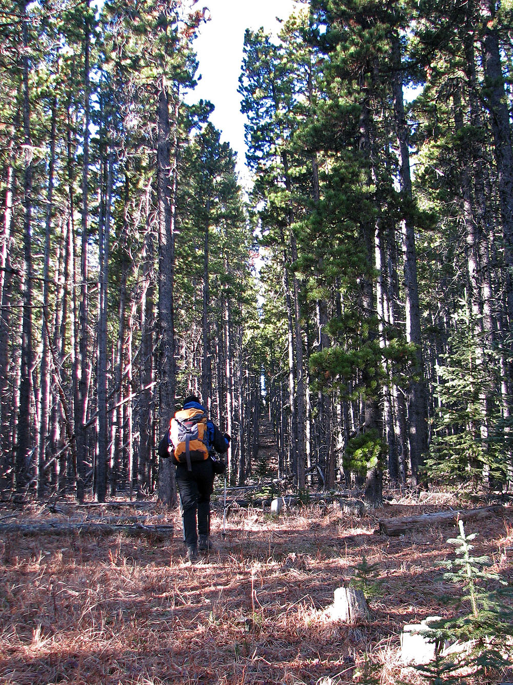
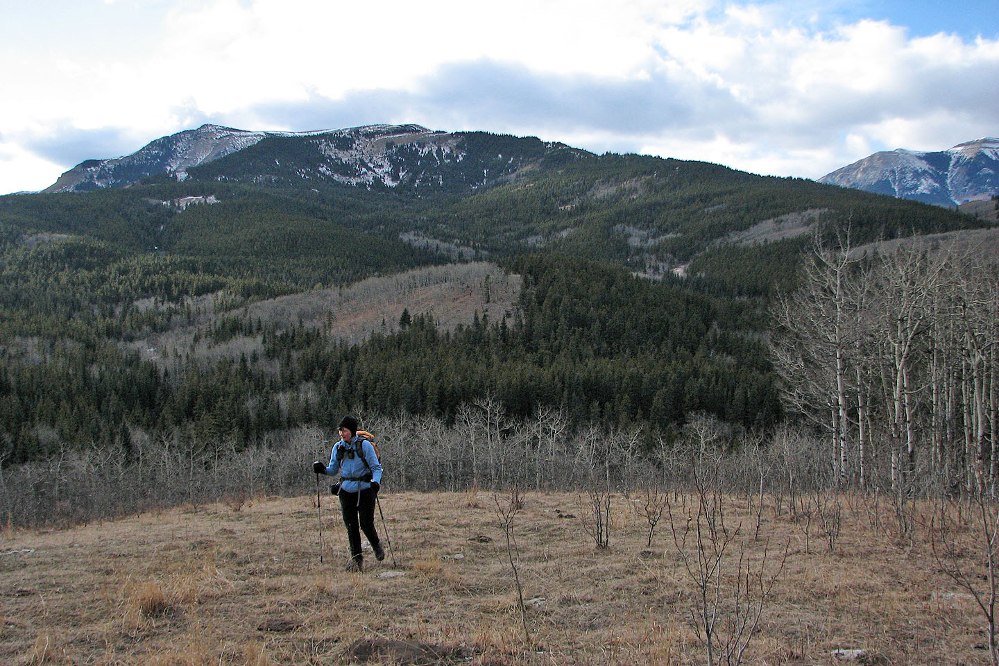
Hiking down a road toward the outlier
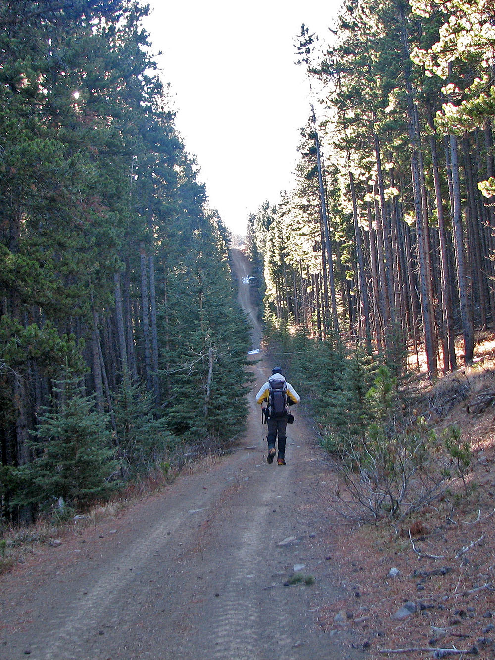
Hiking on what appears to be a maintained road
This cutline, which we found by chance, saved us a lot of bushwhacking
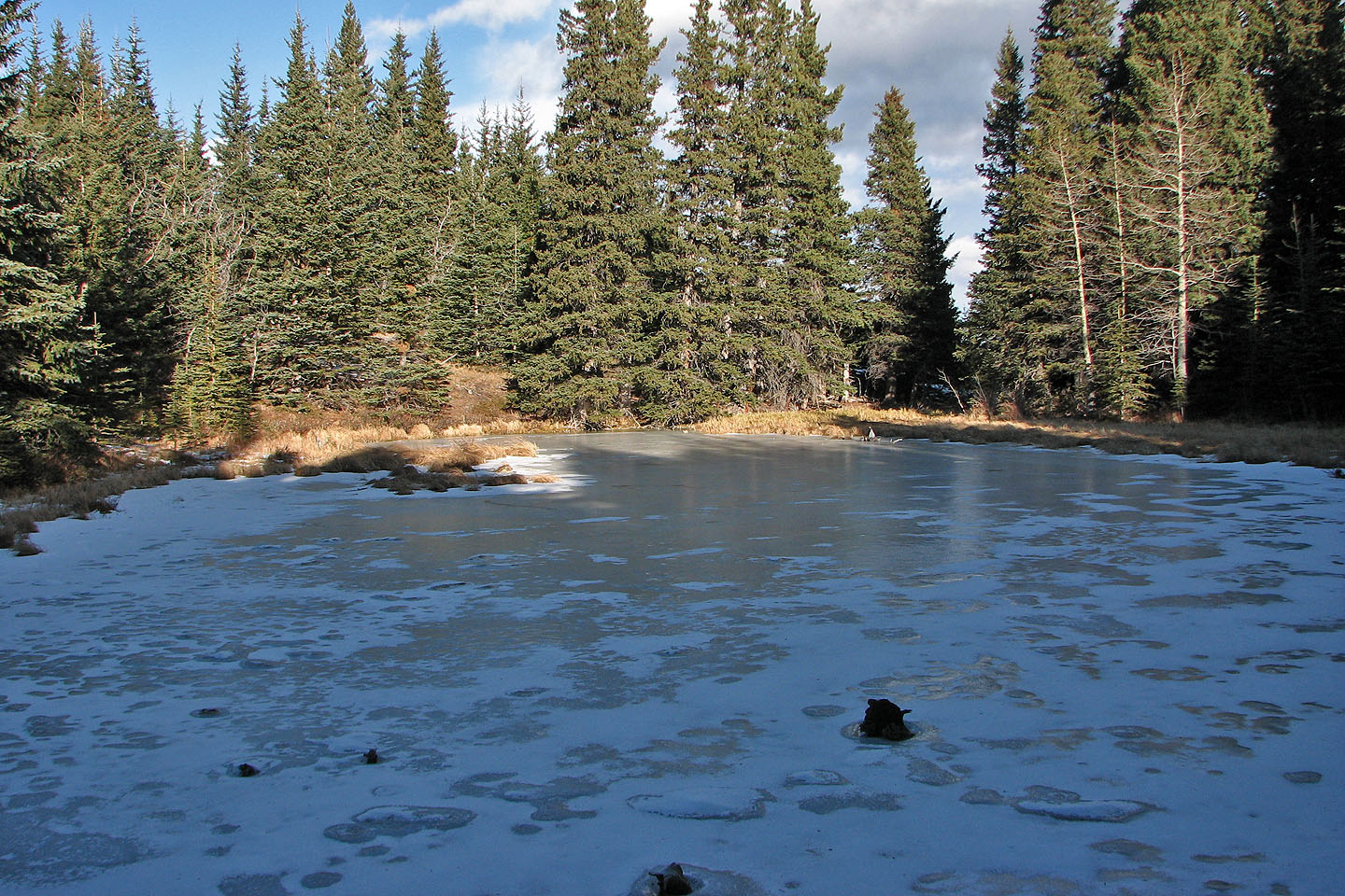
We also stumbled upon this large pond at the base of East Peak which isn't on the map
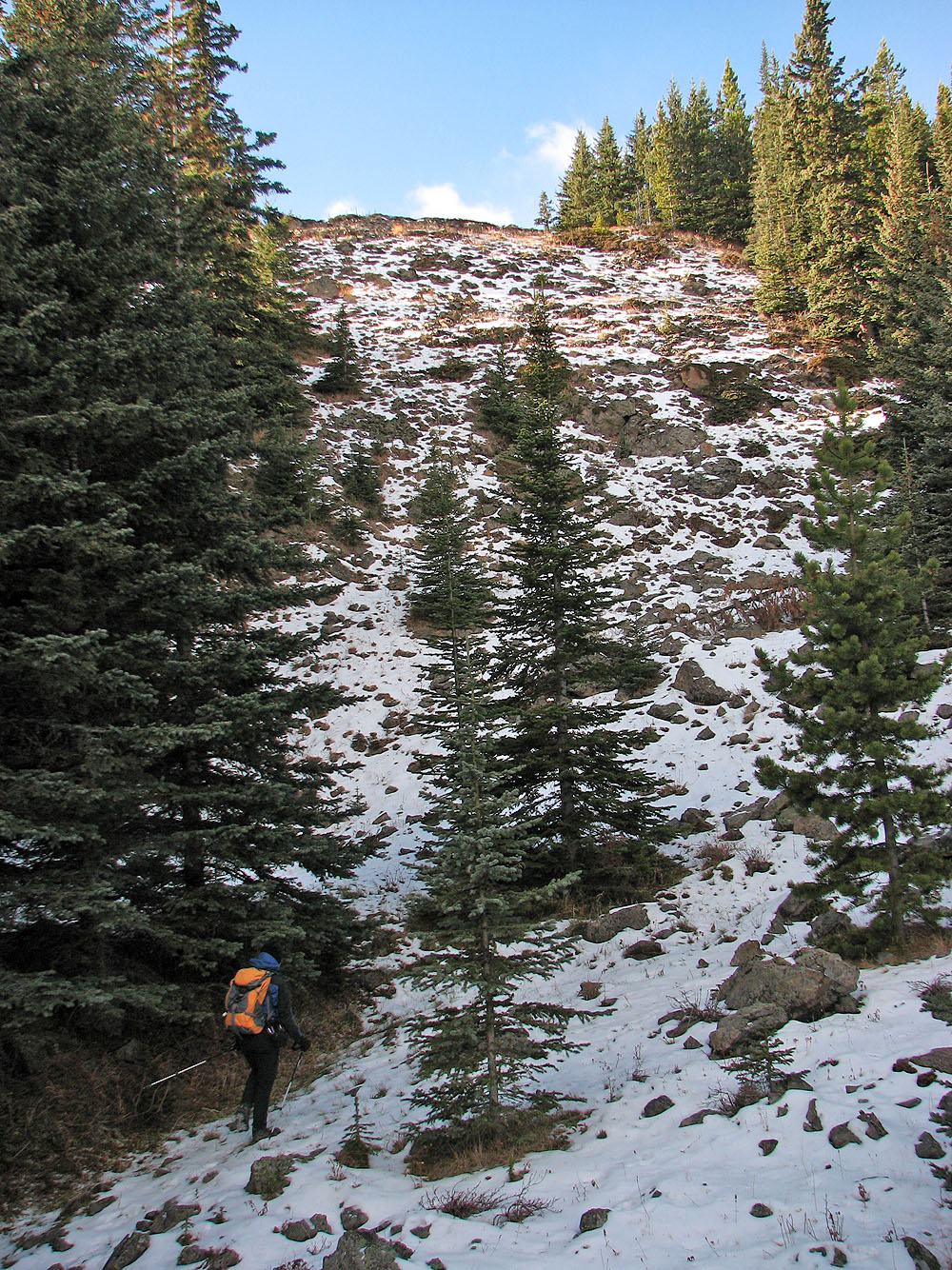
After a short steep climb, we'll reach open slopes above us
Sheep Mountain lies ahead, but we settled for climbing the outlier on our right
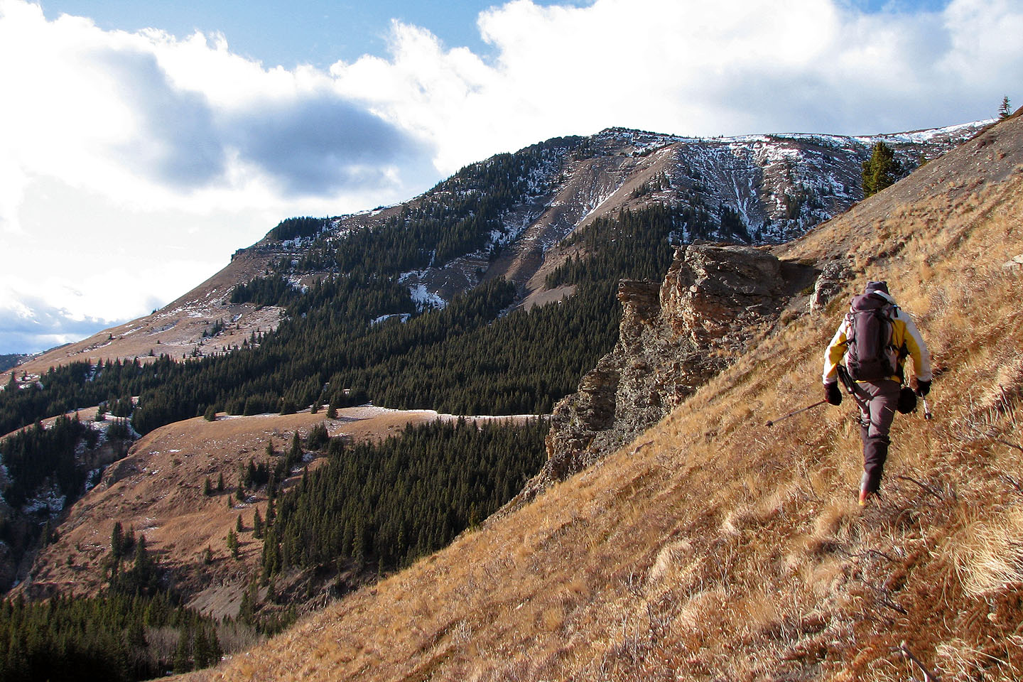
We could have ascended the outlier from here, but we traversed to study a route up
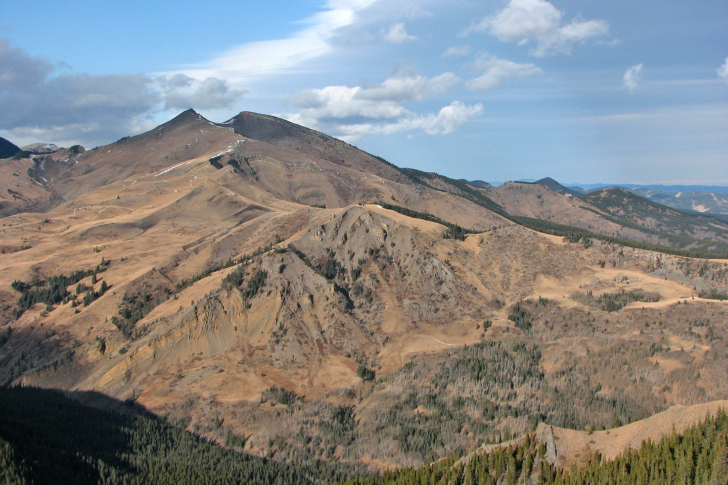
Sheep Mountain
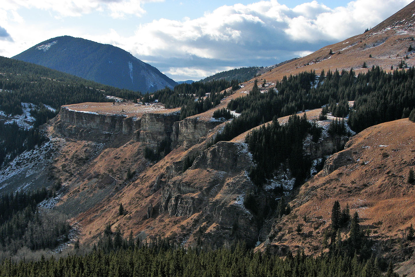
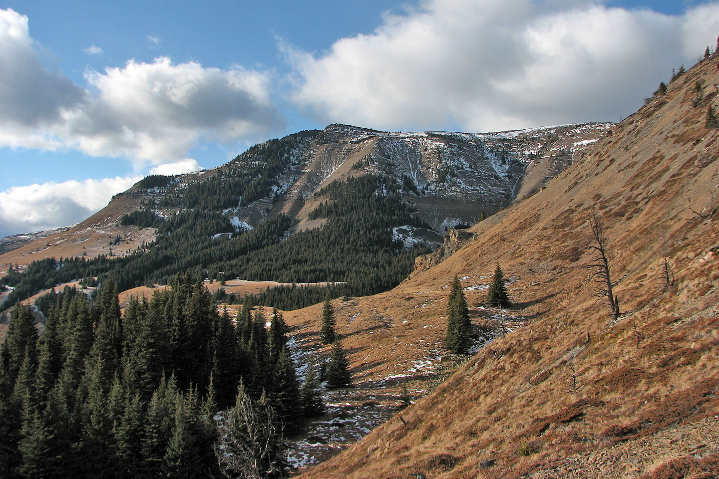
Formidable cliffs east of Sheep Mountain
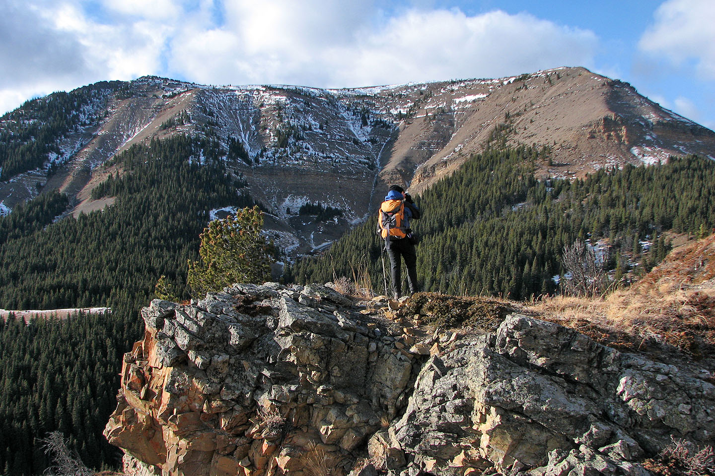
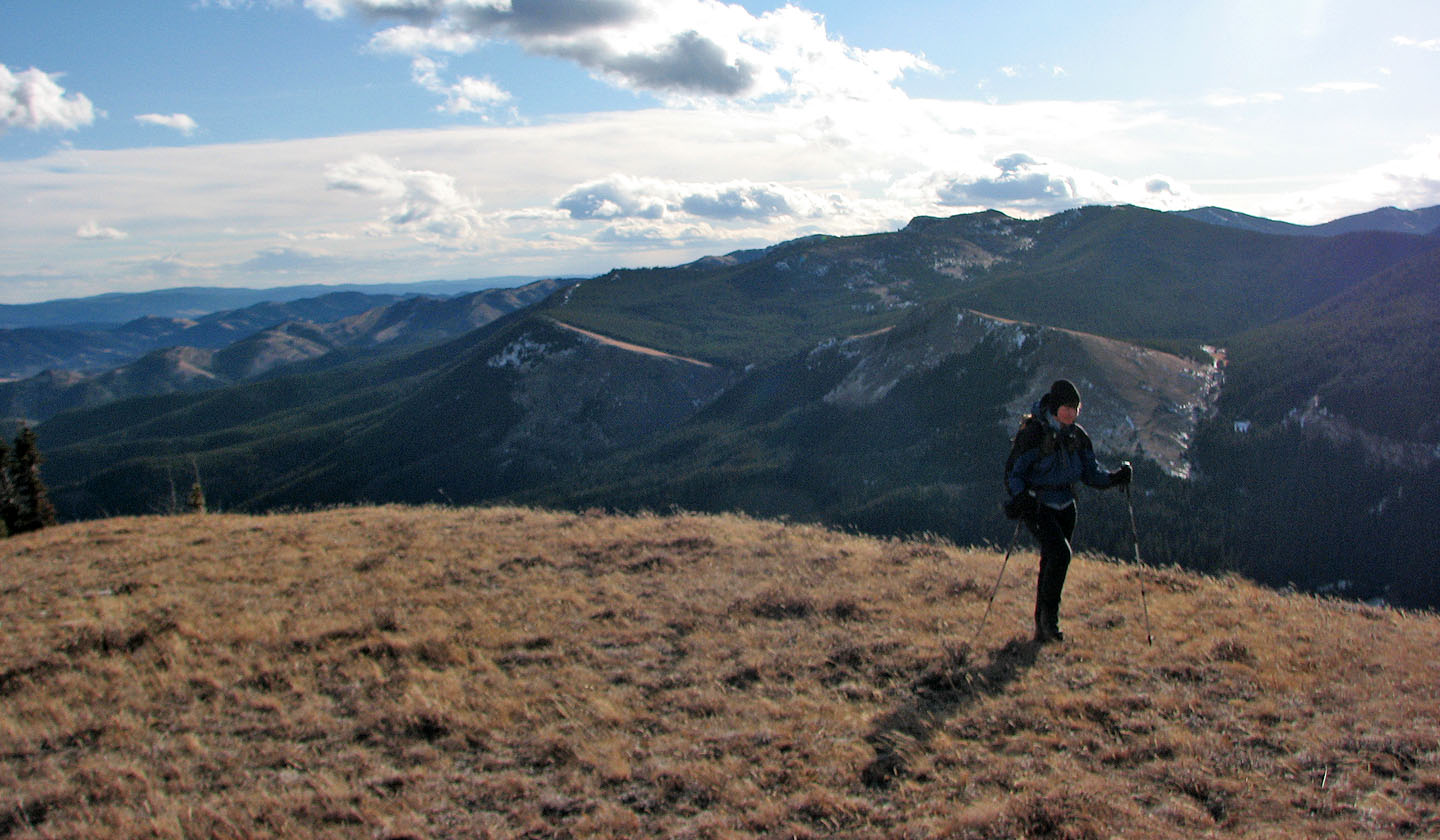
Dinah pauses to look at Sheep Mountain
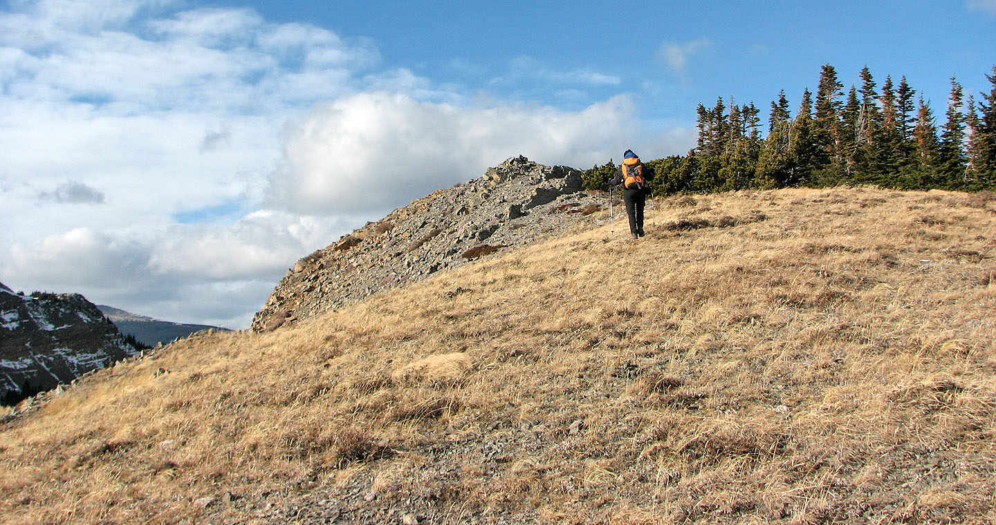
We started hiking up the outlier
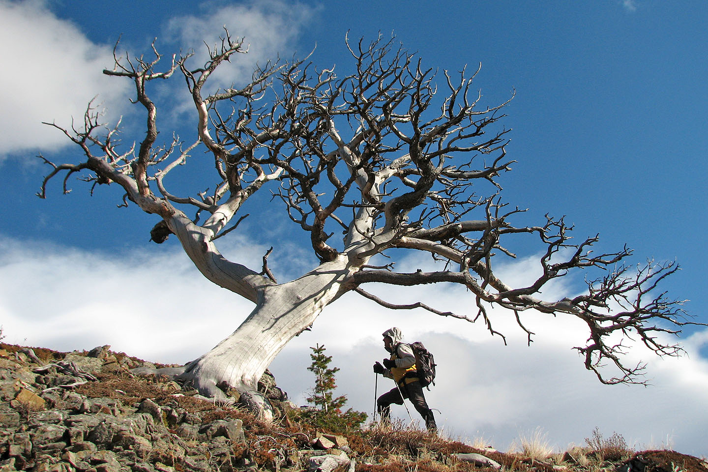
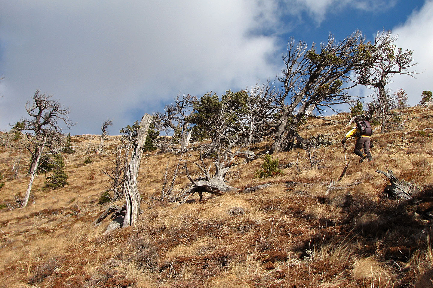
Passing by a dead tree
Looking down the slope we ascended
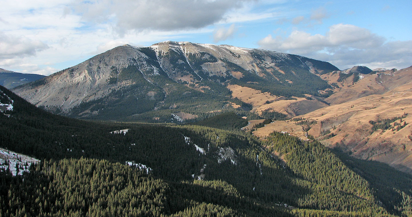
We reached the broad slope below the summit. Horseshoe Ridge is in the background (mouse over).
We made our way to the summit
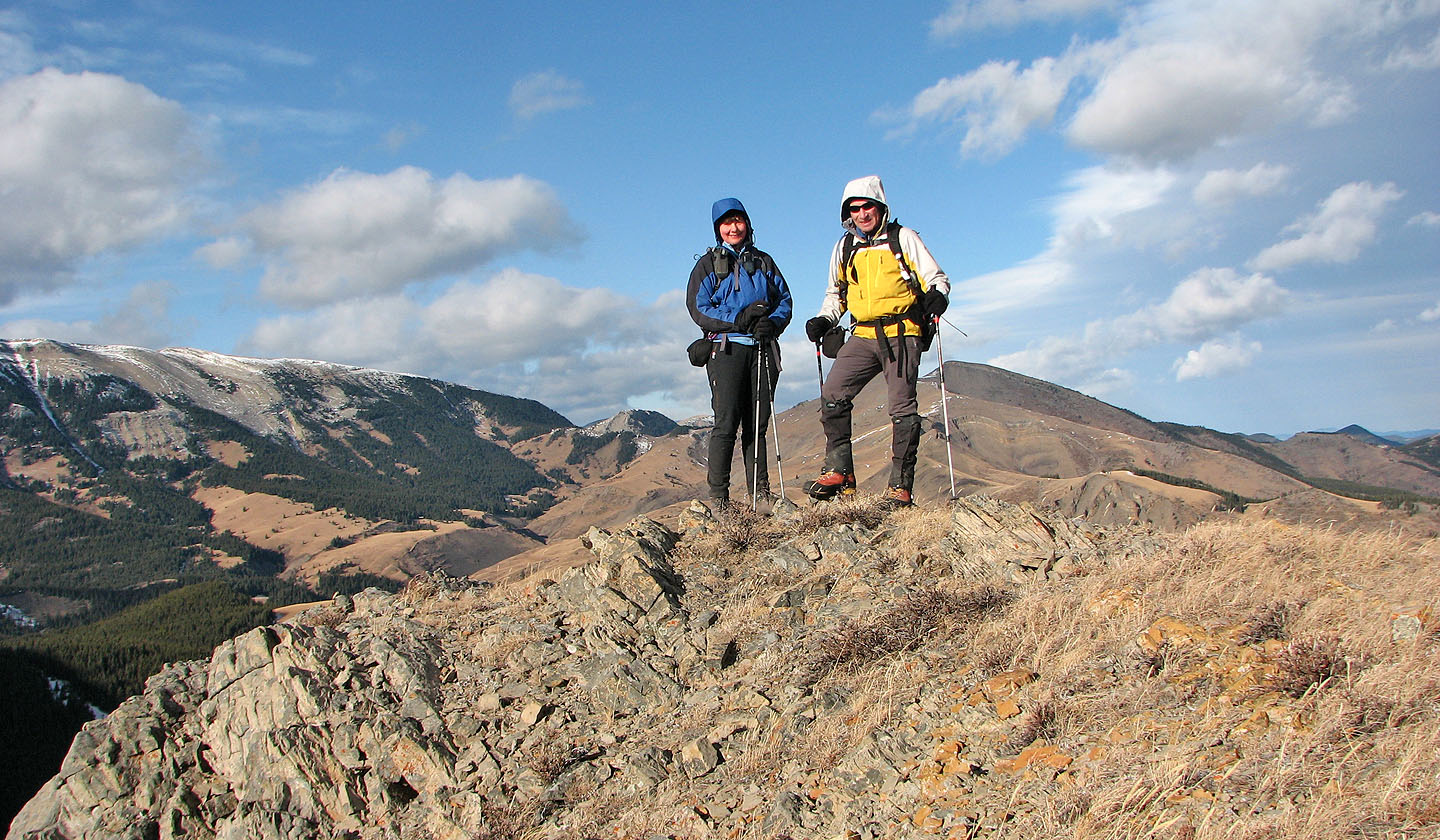
On the summit of the outlier
Saddle Mountain is the finest trip we've done in the area
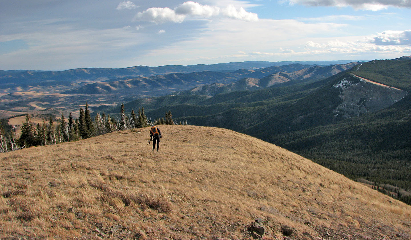
Heading back
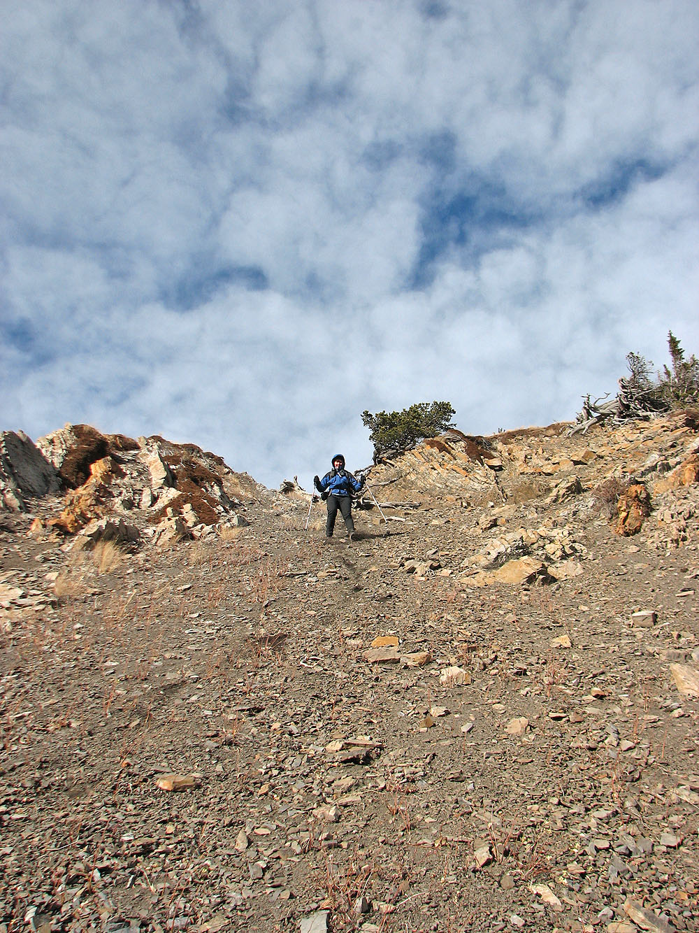
We took advantage of a scree slope to hasten our descent
Last look at Sheep Mountain and East Peak as we ascended the intervening ridge on the way back
82 J/1 Langford Creek