bobspirko.ca | Home | Canada Trips | US Trips | Hiking | Snowshoeing | MAP | About
Horseshoe Ridge
Bob Creek Wildland, Alberta
December 30, 2007
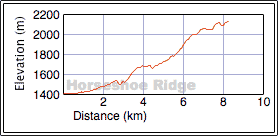
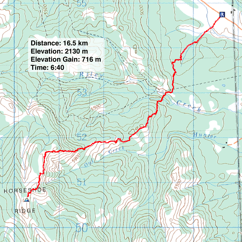
Distance: 16.5 km (10.3 mi)
Cumulative Elevation Gain: 947 m (3107 ft)
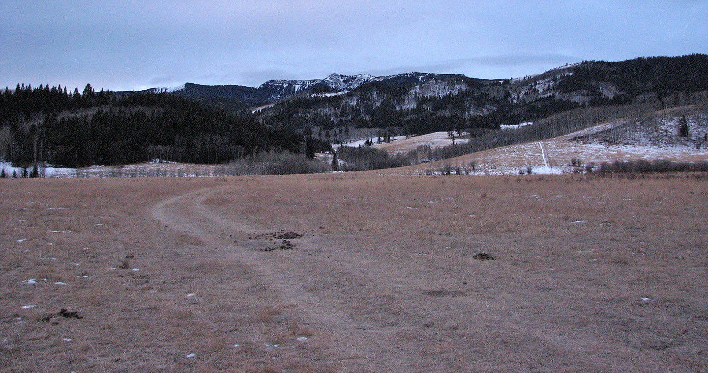
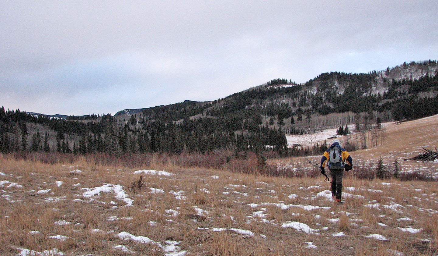
With dry conditions persisting in Bob Creek Wildland, I returned to ascend Horseshoe Ridge in winter. After parking on Saddle Mountain Road, I started up a 4x4 road that led to open fields. To gain the west end of Horseshoe Ridge, I first made my way through an unnamed ridge using a pass. After leaving the open spaces behind, I hiked through trees to reach Riley Creek which cuts through the pass.
After crossing the creek and minutes later, a tributary, I made my way up the west end of Horseshoe Ridge. In a short time, I was hiking up the mostly open south slopes. On a sunny day I probably would have enjoyed the scenery, but under overcast skies the landscape appeared dreary.
I made it to the false summit I had seen from Saddle Mountain Road only to find a higher point farther west. After reaching the cairn on the higher point, I noticed yet another higher point. This, the true summit, turned out to be two metres higher although there was no cairn. After a brief stay, I headed back down.
There was enough variety on the terrain to make this a worthwhile trip, although the ups and downs added nearly 300 m of climbing to the 700 m of net elevation gain.
Horseshoe Ridge from the road: the summit is hidden
I'll get around the ridge in front of me by going left to a pass
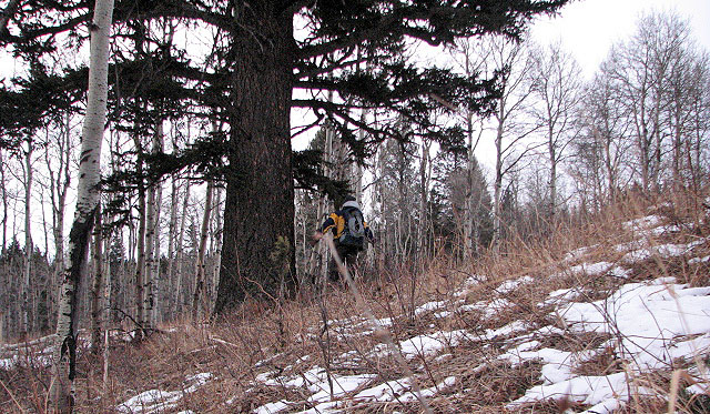
The area supports a few huge trees. Here I'm standing beside the largest one that I came across.
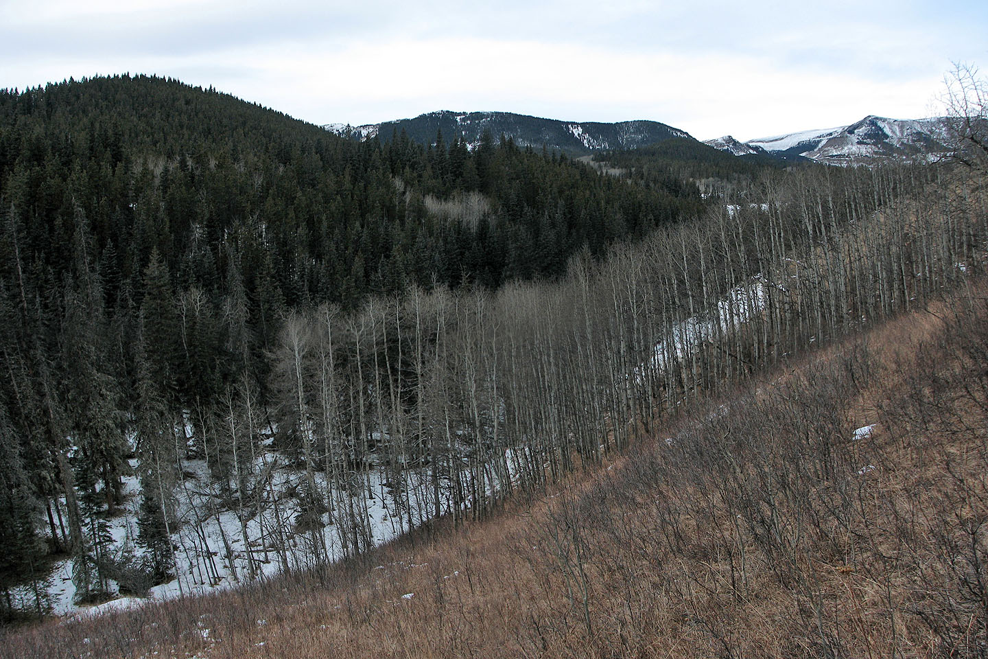
I dropped down, crossed a creek below, and climbed up the treed slope only to realize it wasn't
part of the ridge but a hill. I dropped down to another creek on the other side. On the return
trip I avoided the elevation loss by hiking northwest around it.
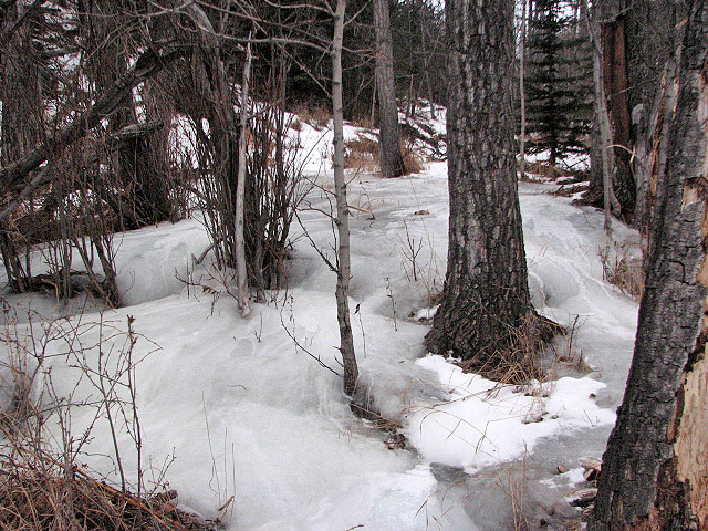
An ice dam on the creek
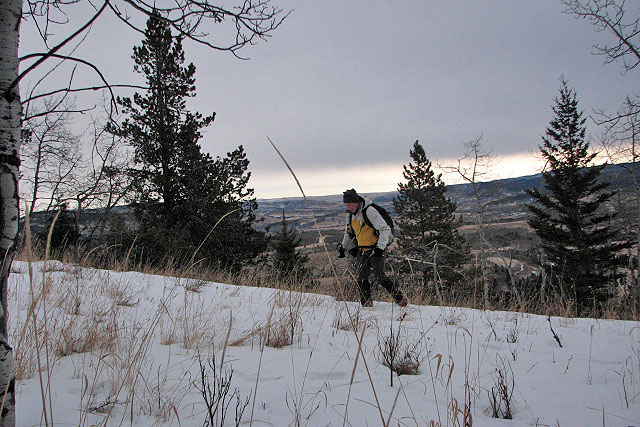
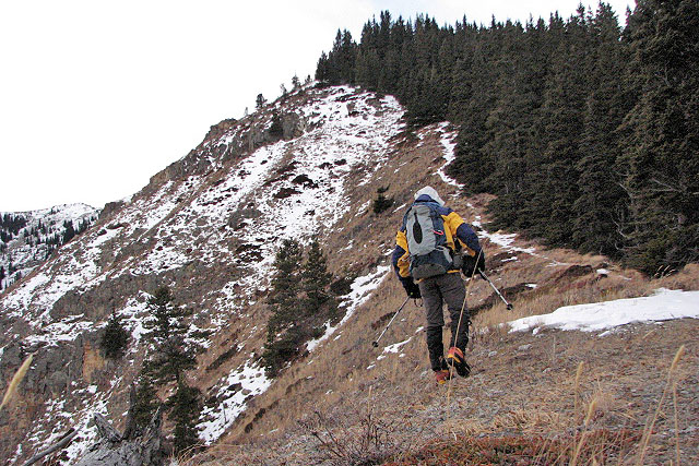
I'm on the ridge and have finally gained some elevation
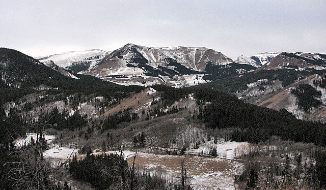
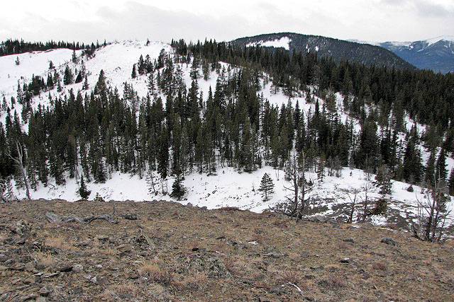
Sheep Mountain to the northwest
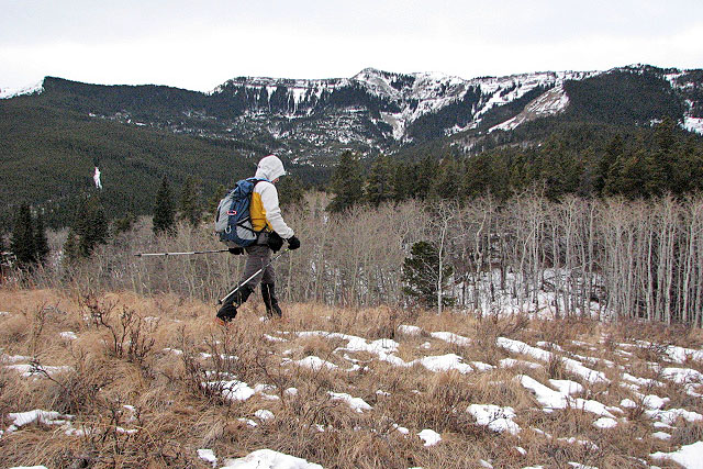
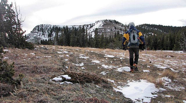
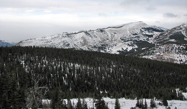
I followed the ridge which leads to the false summit in the centre
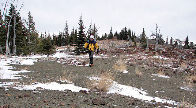
My next objective is the half-bare ridge on the upper left
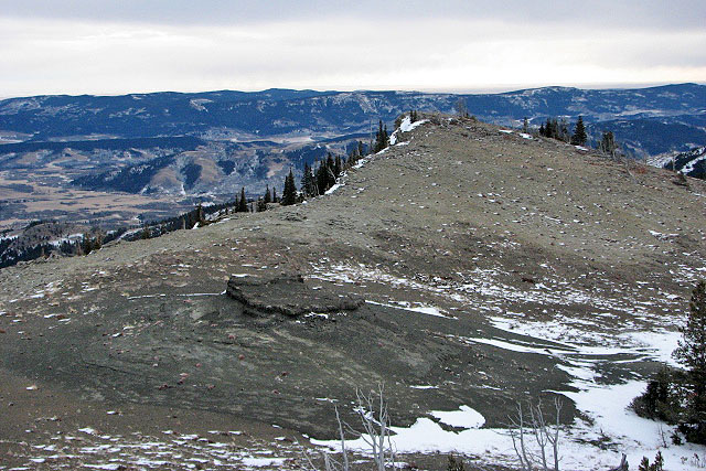
The first false summit is the peak in the centre.
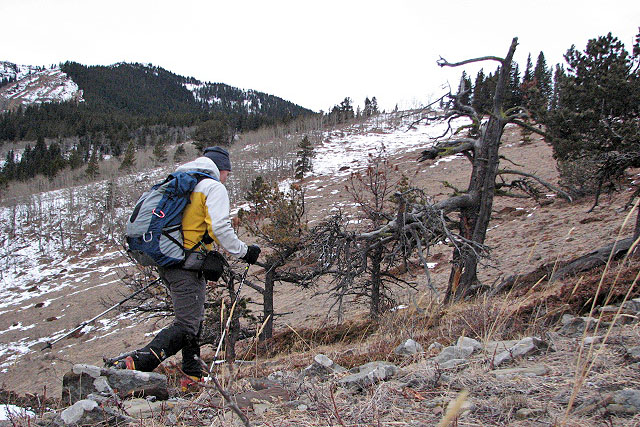
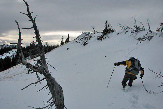
On the half-bare ridge
A pleasant walk on the ridge
A false summit is ahead and the true summit is right
Looking back at the open ridge I followed
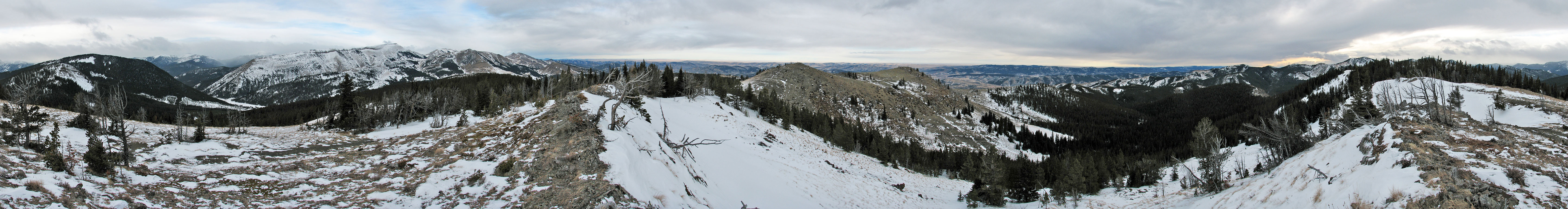
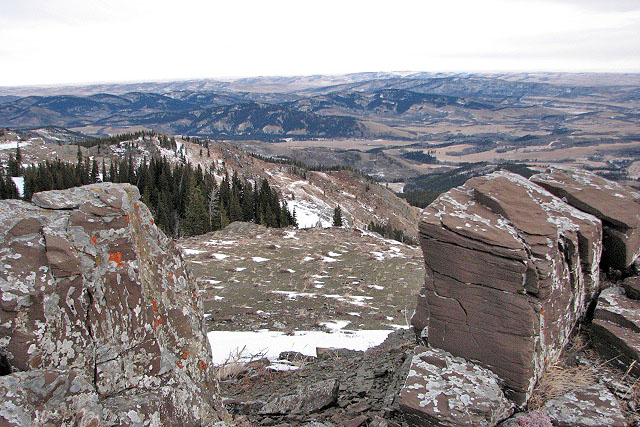
Looking east from the second false summit
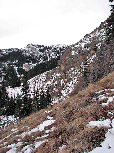
The true summit is the bland-looking, snow-covered ridge on the left
Almost on the summit
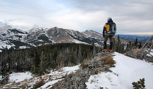
On the summit. L to R: Coffin Mountain, Mount Livingstone, Sheep Mountain, and Saddle Mountain.
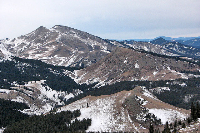
Coffin Mountain
82 J/1 Langford Creek