bobspirko.ca | Home | Canada Trips | US Trips | Hiking | Snowshoeing | MAP | About
Powderface Ridge (South Approach)
Kananaskis, Alberta
July 17, 2021
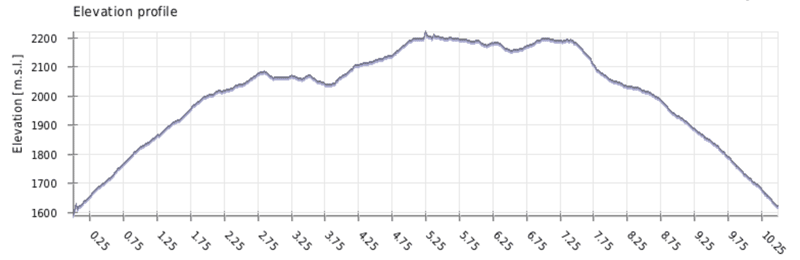
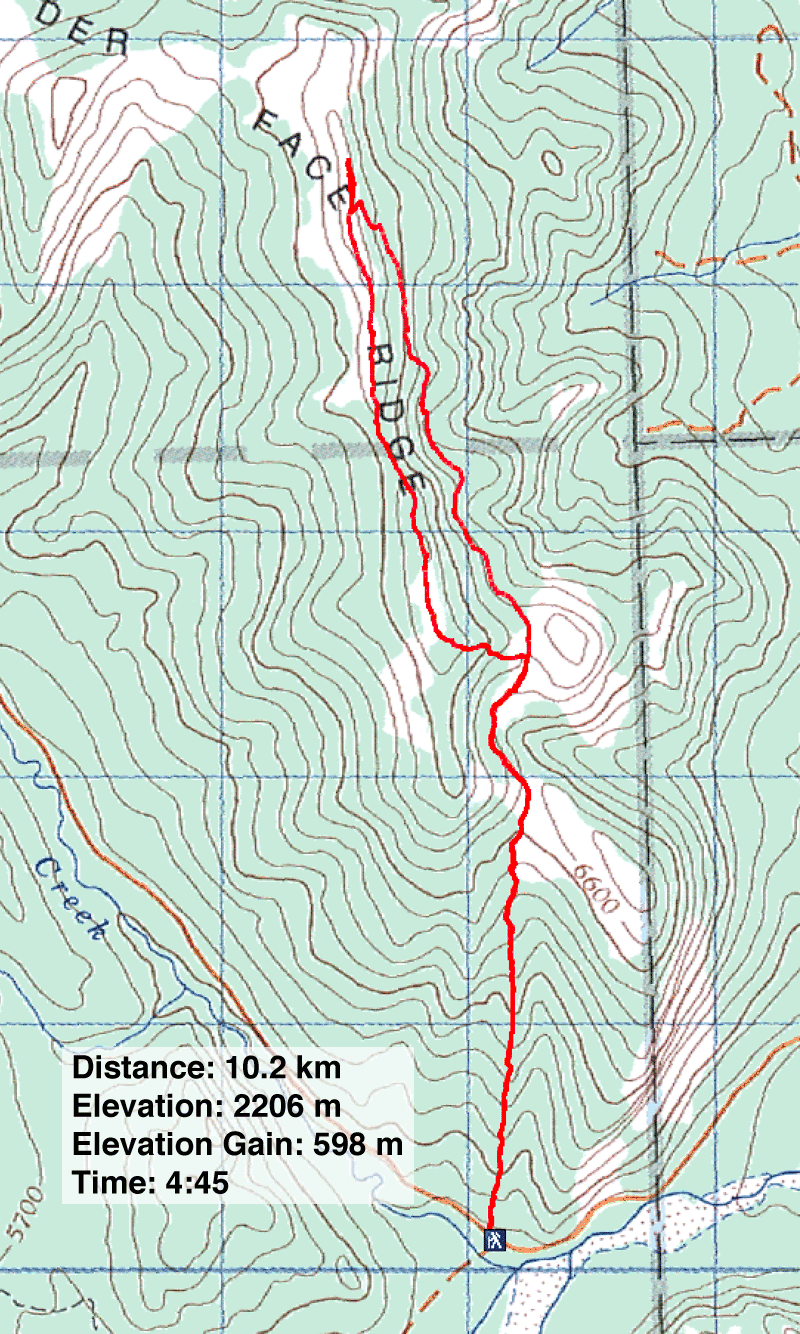
Distance: 10.2 km (6.3 mi)
Cumulative Elevation Gain: 774 m (2539 ft)
There are a few ways to reach the summit of Powderface Ridge, but none are easier than the south trail. That is, when the seasonal gate on Highway 66 is open. In the winter, one can fall back on the longer East Approach. But either way, you'll reach an open ridge with fine panoramic views.
When Dinah and I climbed Powderface from the south years ago, we did it in May when it was still under snow and impossible to follow the trail. We returned to take the trail up the east slope and hike back along the ridge.
Joining us belatedly were Zora, Christine and Christine's grandson Alex. They mistakenly started from the trailhead for Rainy Summit Ridge instead of Powderface Ridge, but it worked out fine. They went up and over Rainy Summit Ridge, and the five of us met on the col to hike Powderface Ridge together.
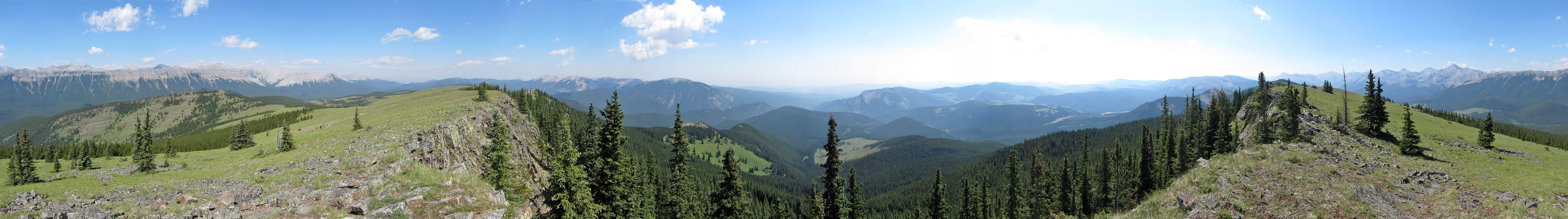
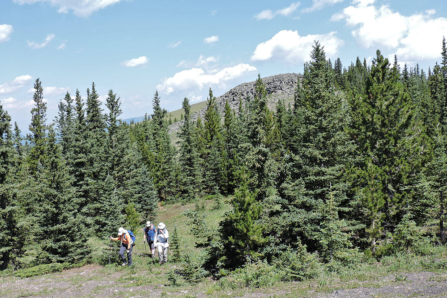
From the col, we followed the trail as it swings into the forest. The confused trail loses 40 m before realizing it should be going up. Then up it goes, out of the woods and onto the meadowy ridge crest. We turned right and ambled 200 m to the summit.
Strangely, for a popular hike there was no summit cairn. To pose by a cairn, we headed back, passed the trail we came up, to a stark pile of rocks in the meadow. After taking photos, we set off for the south end of the ridge.
There's no trail on the open ridge and not much of one in the trees, but we kept close to the ridge crest, following it until the cliffs on our left disappeared. Then it was easy to follow a trail down to the col. We didn't start the trip together, but we finished together, hiking down Powderface trail to our car before giving our friends a lift back to their vehicle.
Powderface Ridge was a far cry from our original plan that day. If it hadn't been for smoke from wildfires, we would have been ascending a 3,000 m peak on the Icefields Parkway. But we were grateful to get out and grateful to find little smoke here to mar the mountain scenery.
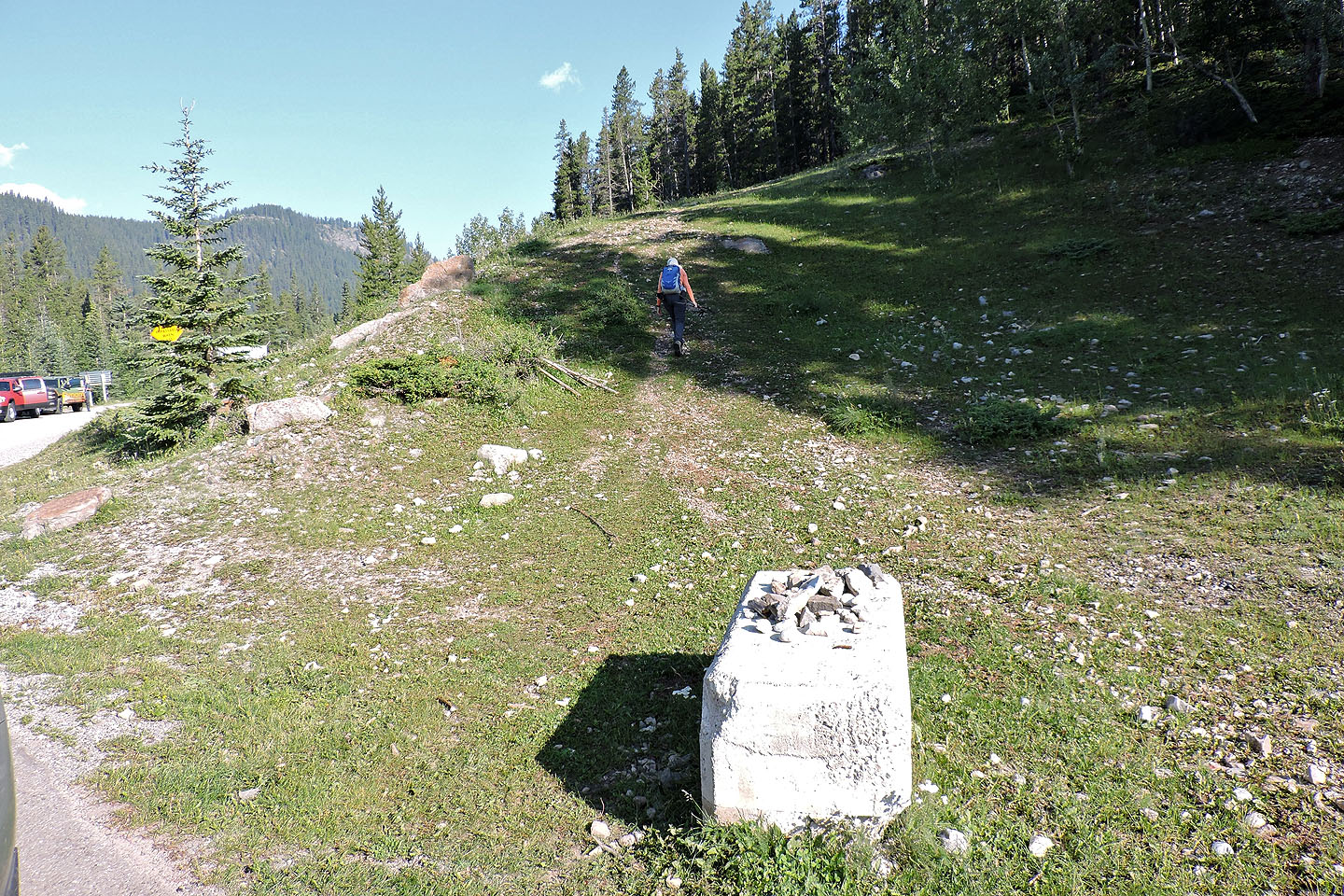
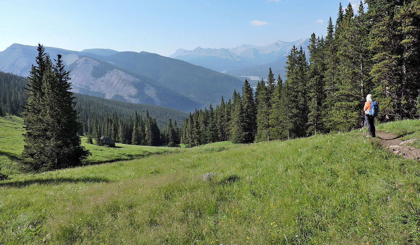
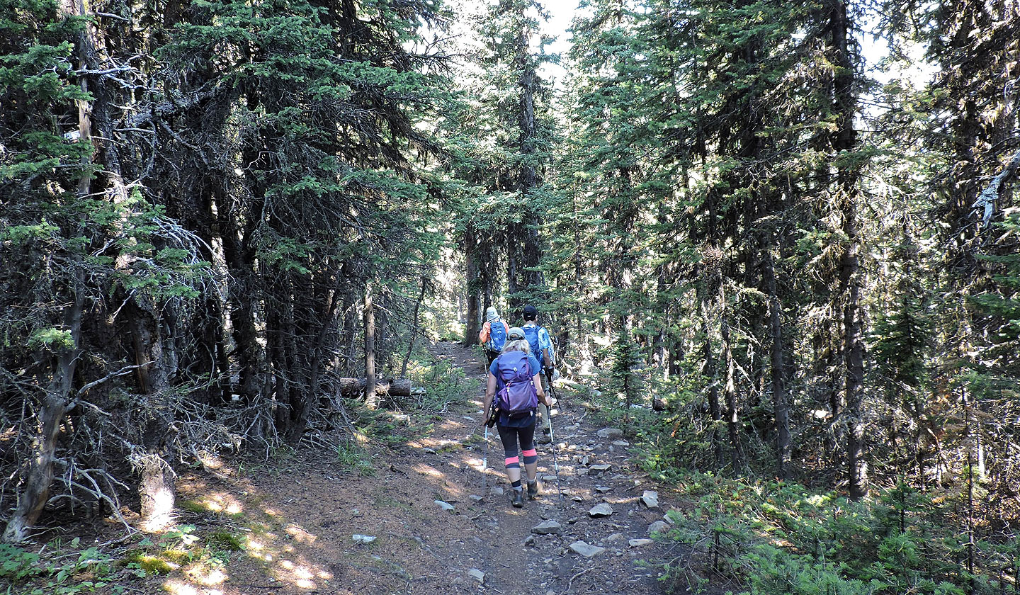
Starting up Powderface Ridge trail
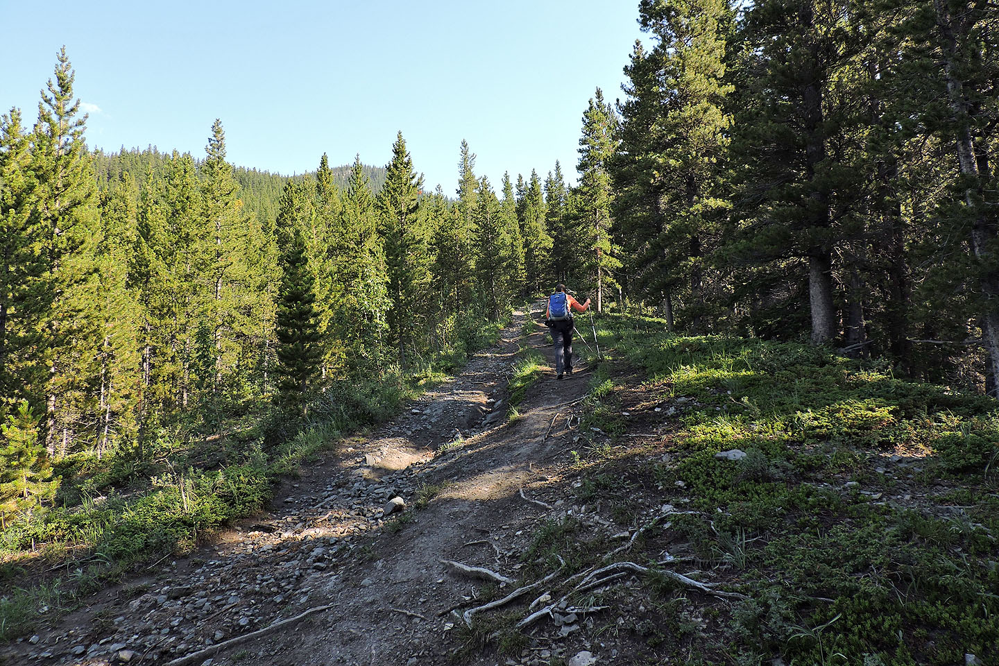
Trees line the trail leaving little to see
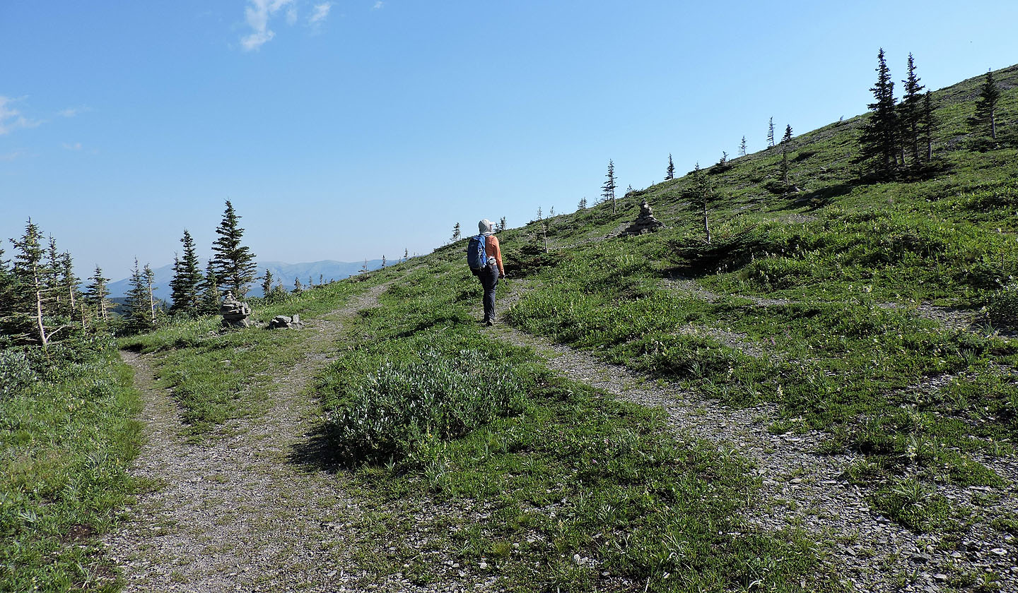
The trail breaks out onto a meadow
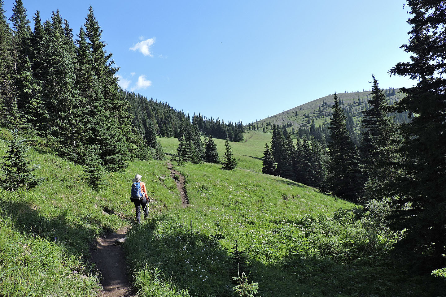
Rainy Summit Ridge appears on the right
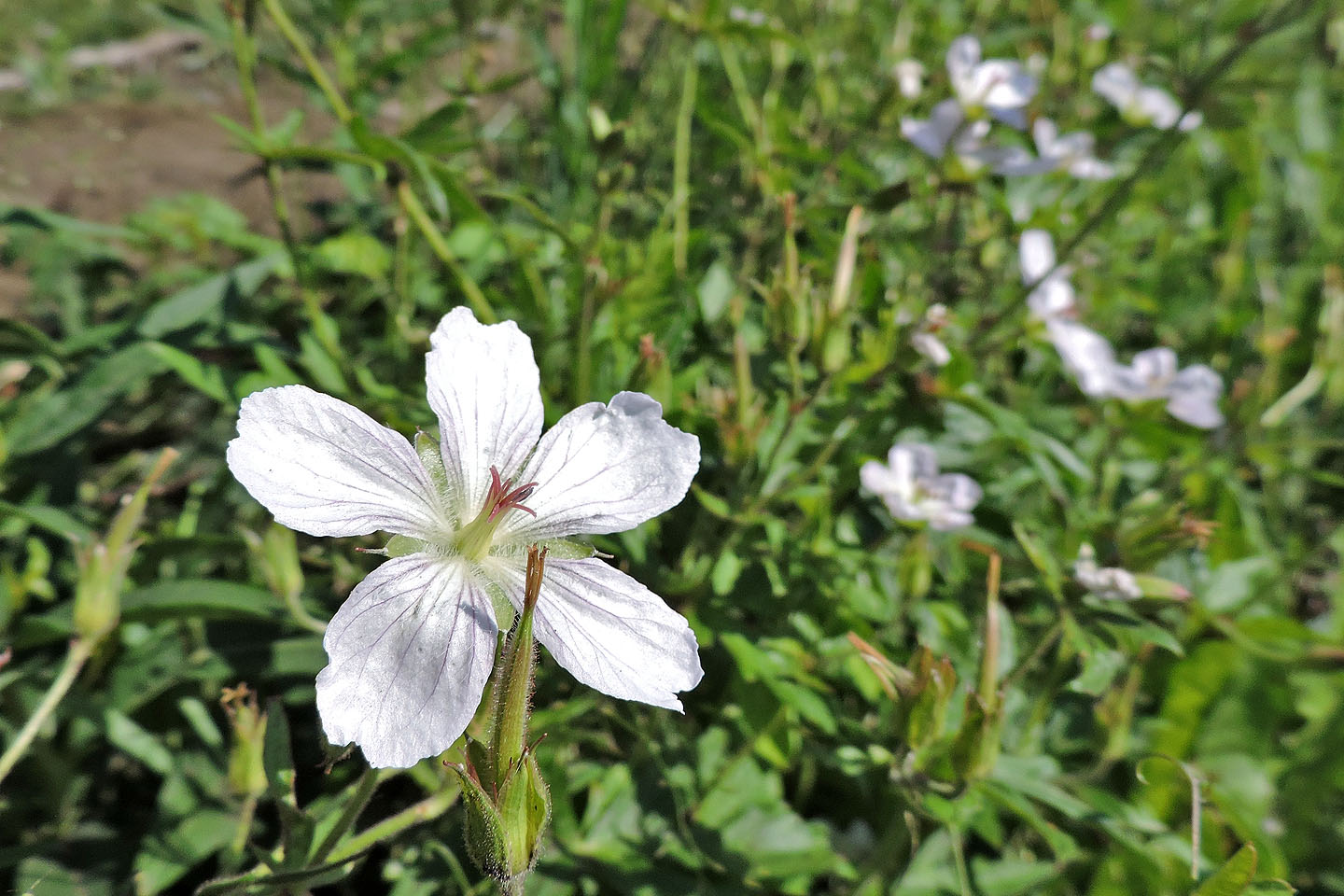
Geraniums
replaced the forgetmenot wildflowers that we saw here a few weeks ago
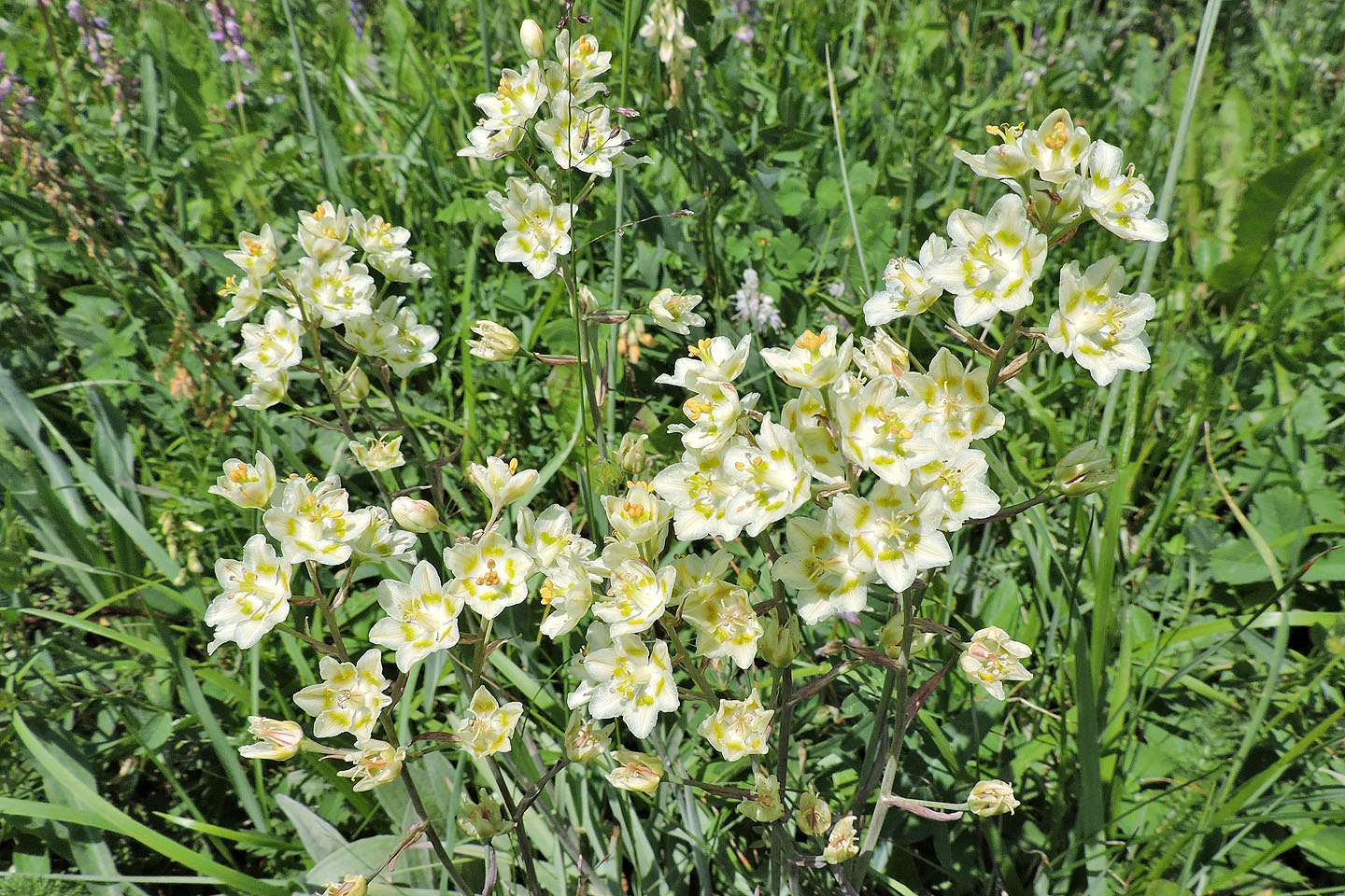
White camas is poisonous to cattle and humans
Dinah and I waited at the col for Zora, Christine and Alex. Powderface trail swings left here.
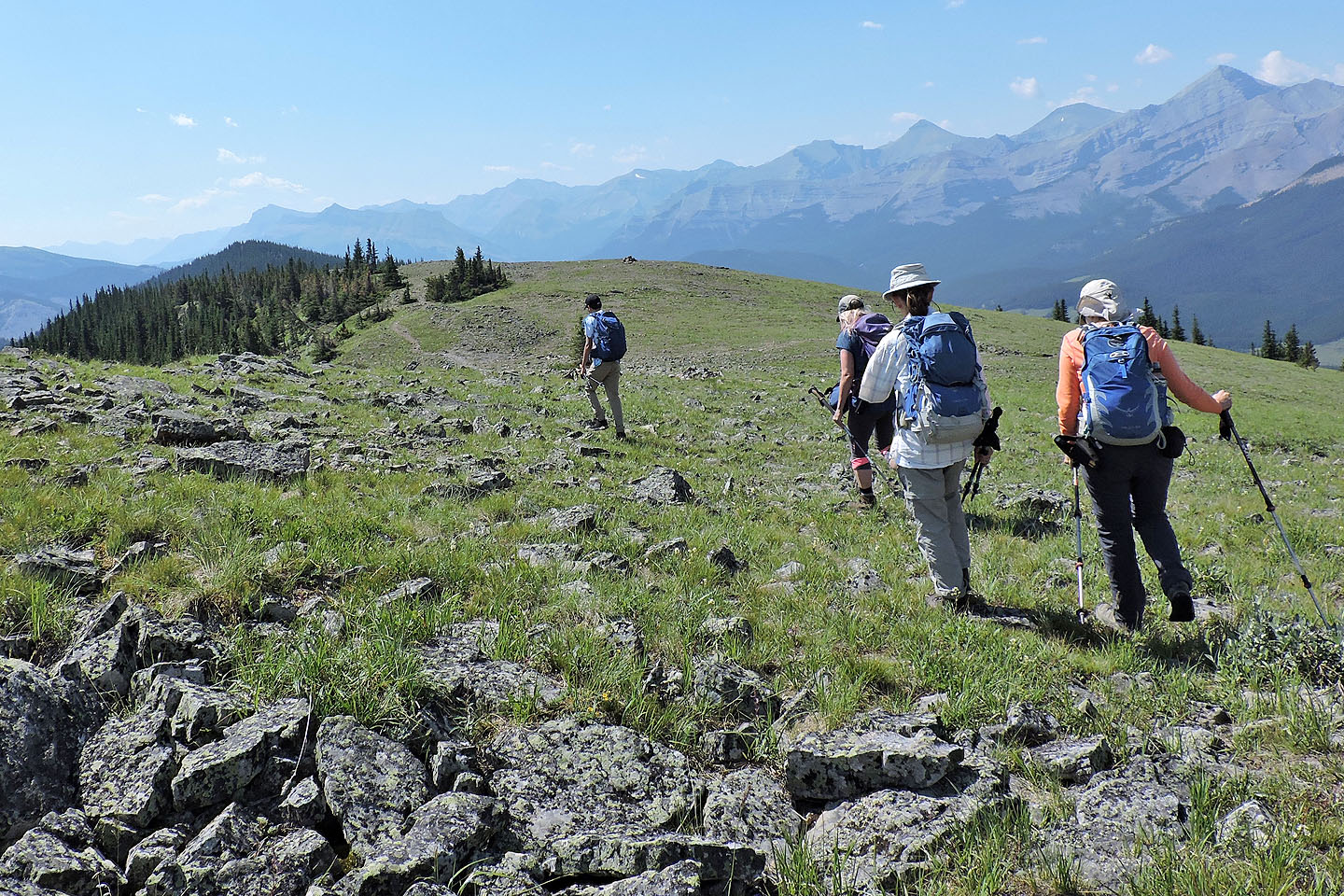
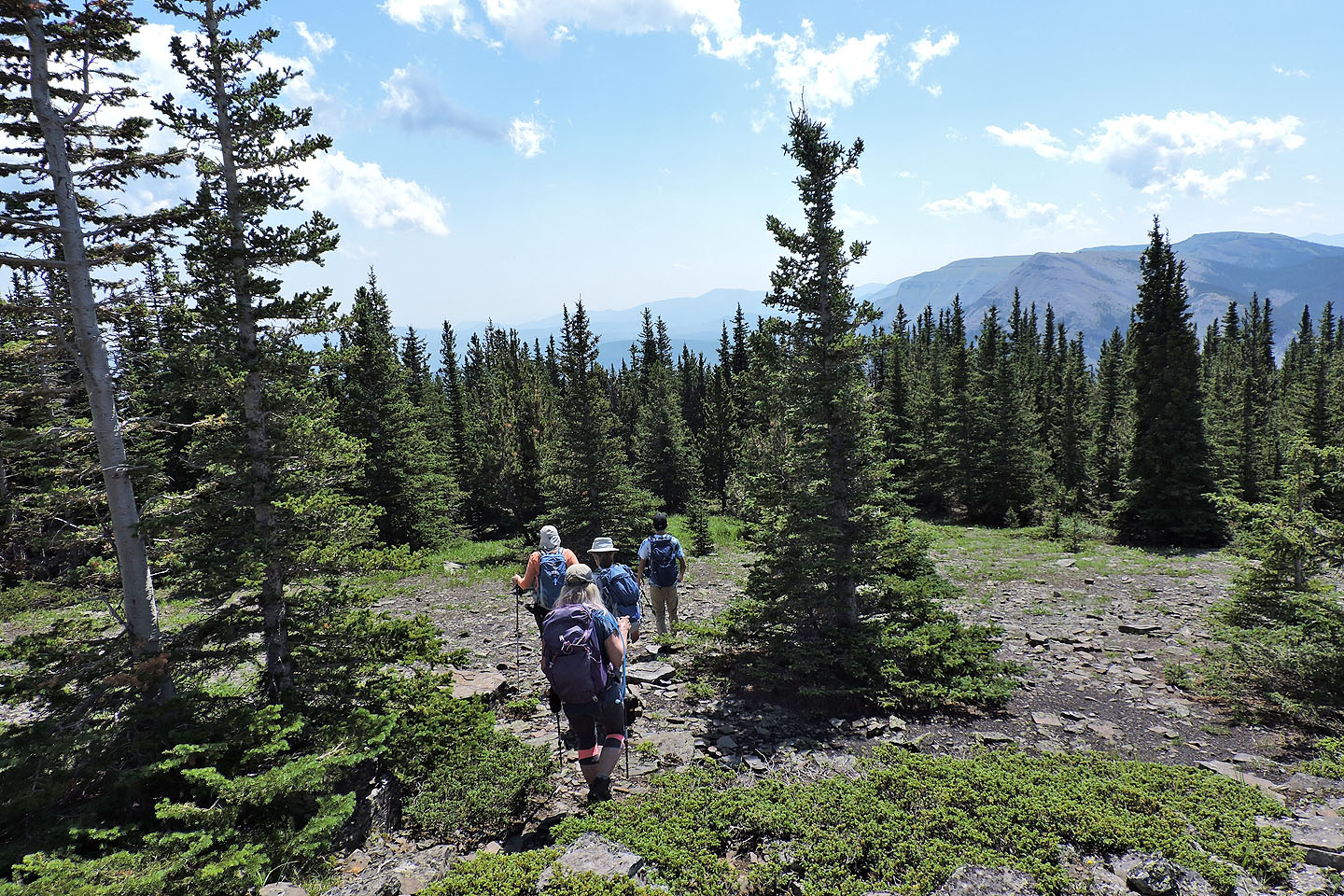
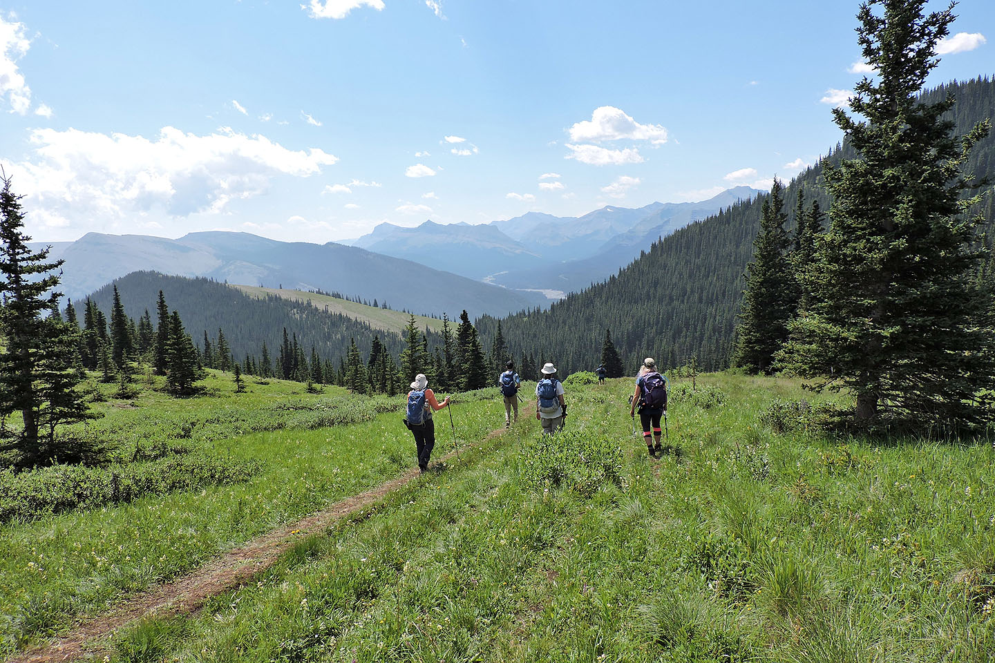
The five of us continued down the trail
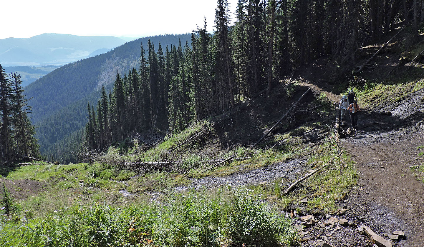 The trail runs through a clearing but there is little to see
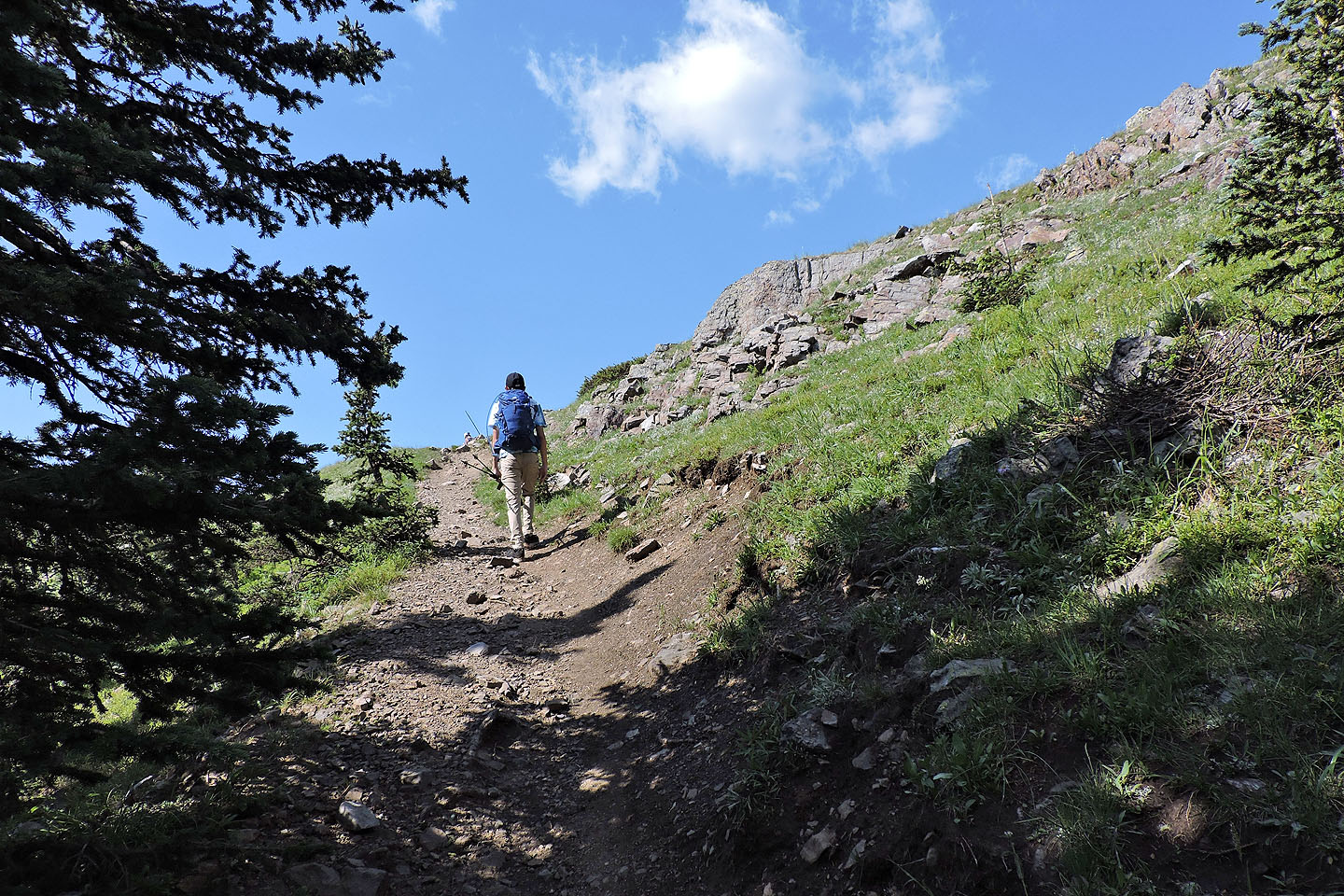
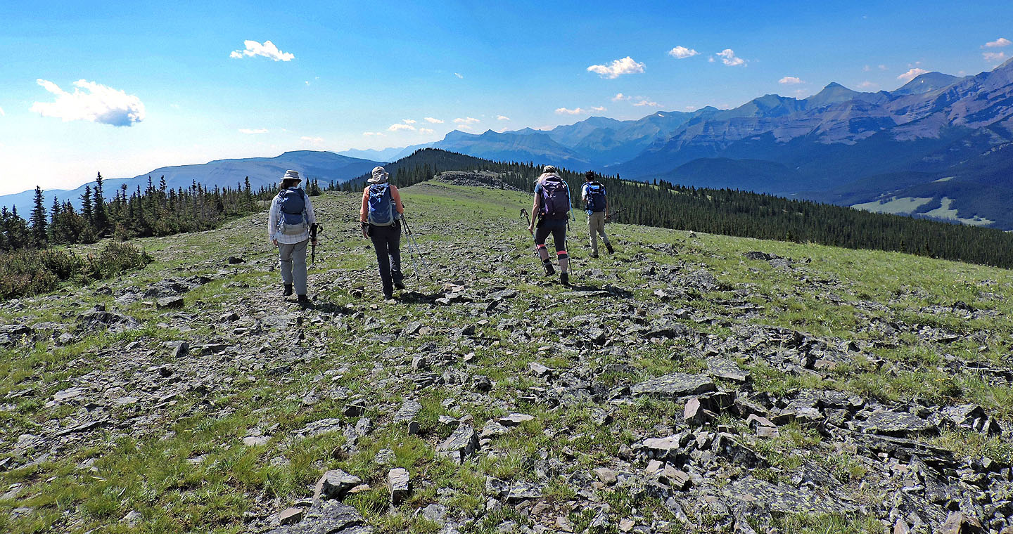
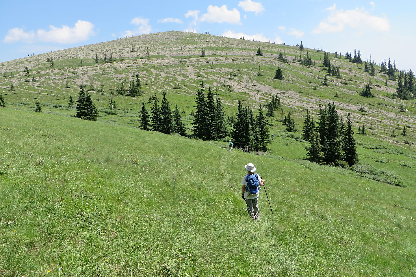
The trail reaches the open ridge
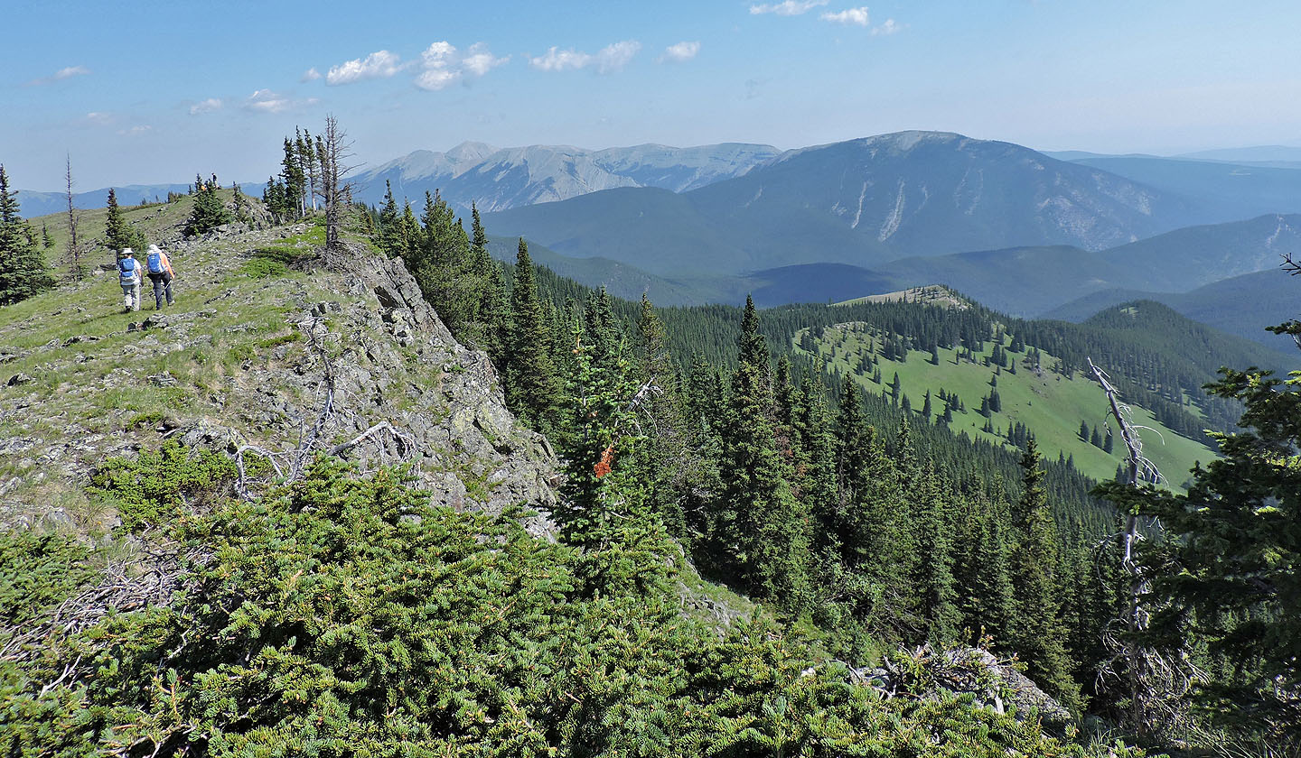
We turned right and headed to the highest point a short distance away
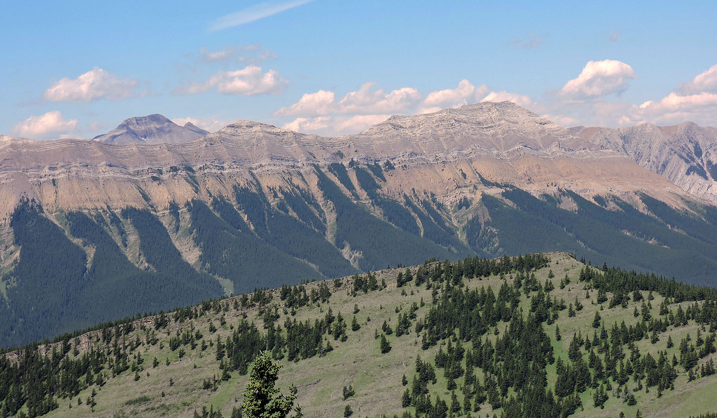
Mount Howard appears left above Nihahi Ridge
After lunch we gravitated to a cairn in the meadow
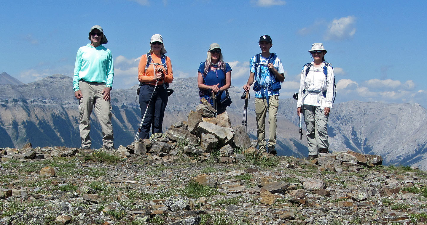
Standing next to the cairn
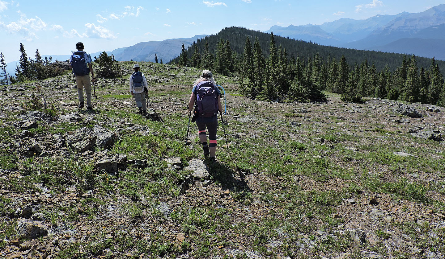
We headed to the south end of the ridge
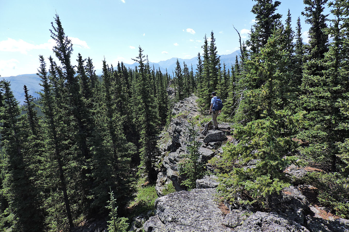
Looking back at a rocky bump we crossed
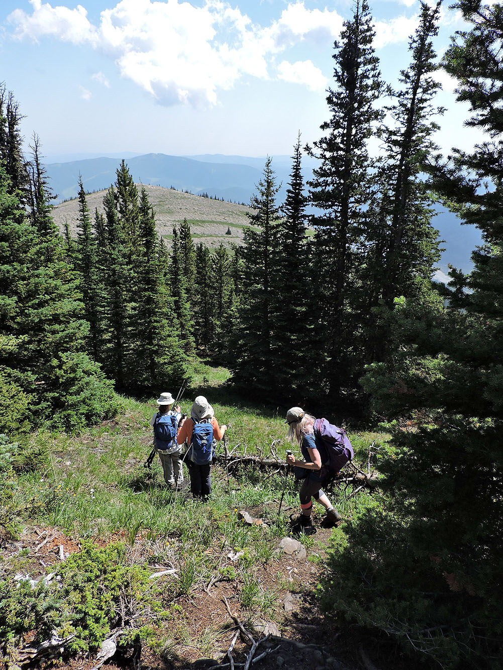
The ridge drops down and enters the forest
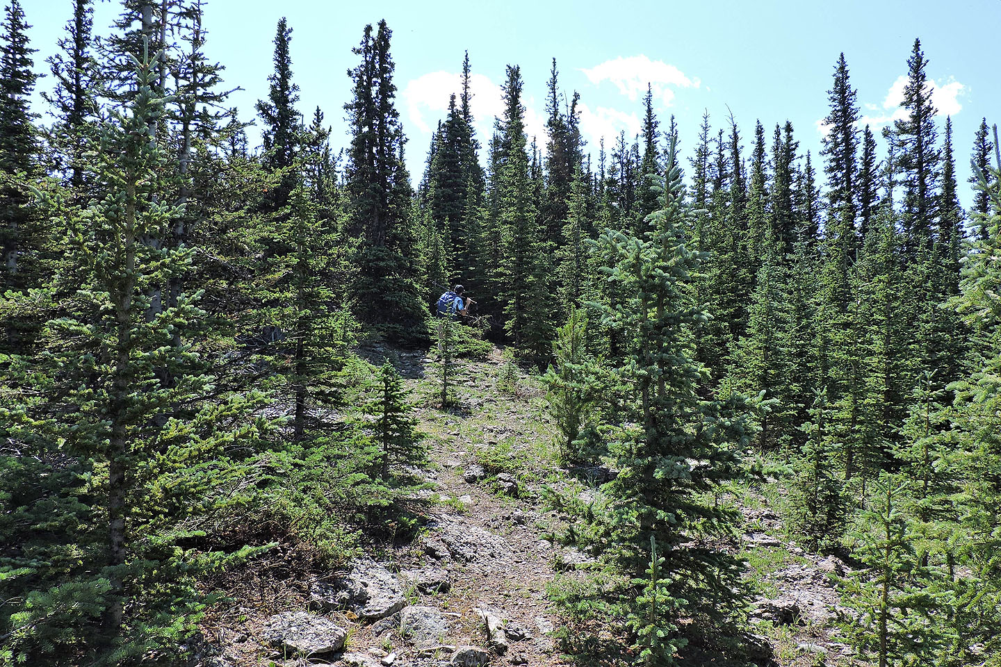
We found a vague trail in the trees
We continued following the ridge
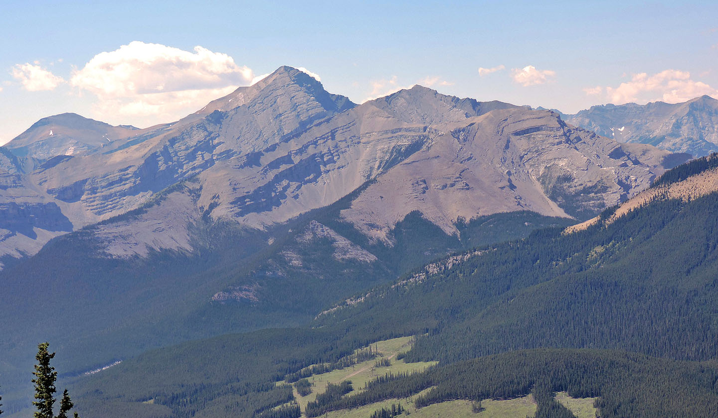
Mount Glasgow appears southwest
Finally the cliffs on our left disappeared so we could head down to the col
We picked one of a few trails that returned to the col
We followed the trail to the main trail
Heading back to our car
82 J/15 Bragg Creek