bobspirko.ca | Home | Canada Trips | US Trips | Hiking | Snowshoeing | MAP | About
Cell Phone Ridge
Kananaskis, Alberta
February 28, 2015
Distance: 8.5 km (5.3 mi)
Cumulative Elevation Gain: 388 m (1273 ft)
Lying south of Indian Graves Campground is a foothill that offers a logging road approach and fine summit views west. It also provides good cell phone reception, a fact not lost to the ATVers that Sonny and I met near the top. They call this little peak “Cell Phone Ridge.”
Our trip began just west of the Willow Creek bridge on an arrow-straight logging road heading south. At a large clearing, the road swings left, but we plodded ahead to catch up to it as it runs alongside a nameless creek. We kept to the road, except to take a shortcut where it switchbacks. The road then starts up an intervening ridge, a ridge we had to go over to reach Cell Phone Ridge.
All the planets were aligned on this day. The landscape, looking splendid by a blanket of fresh snow that scintillated in the sun, would likely be humdrum under any other circumstances. And the ankle-deep powder was so light, it was like kicking feathers. As delicate as the snow was, clumps of it still clung to trees and bushes, undisturbed by any wind.
The road ends at a cutblock. We continued climbing, keeping left as we made our way up the east end of the intervening ridge. We soon broke out of the trees onto the grassy slope on the other side. There we got our first look at Cell Phone Ridge before we turned our attention to our next objective, a small, open valley 70 m below.
From the valley, we hiked up and around to the backside of Cell Phone Ridge, a route that took advantage of extensive clearings while spending little time in trees. We stayed on the summit long enough to have lunch, take photos, and identify a few peaks in the Livingstone Range. I texted Dinah.
Within minutes of starting down, we ran into two guys on ATVs equipped for snow travel. After chatting with one guy for several minutes (the other was on his cell phone), Sonny and I returned to the valley. Instead of retracing our steps up the east end of the intervening ridge, we decided to go over the west end. We incurred a greater elevation gain/loss, but it provided a far better view of Cell Phone Ridge. On the other side of the ridge, we pushed through Christmas-tree-sized pines that had taken over the cutblock. We made our way back to the road.
We certainly enjoyed this outing. Although there are loftier summits to hike in winter, Cell Phone Ridge turned out to be a good call.
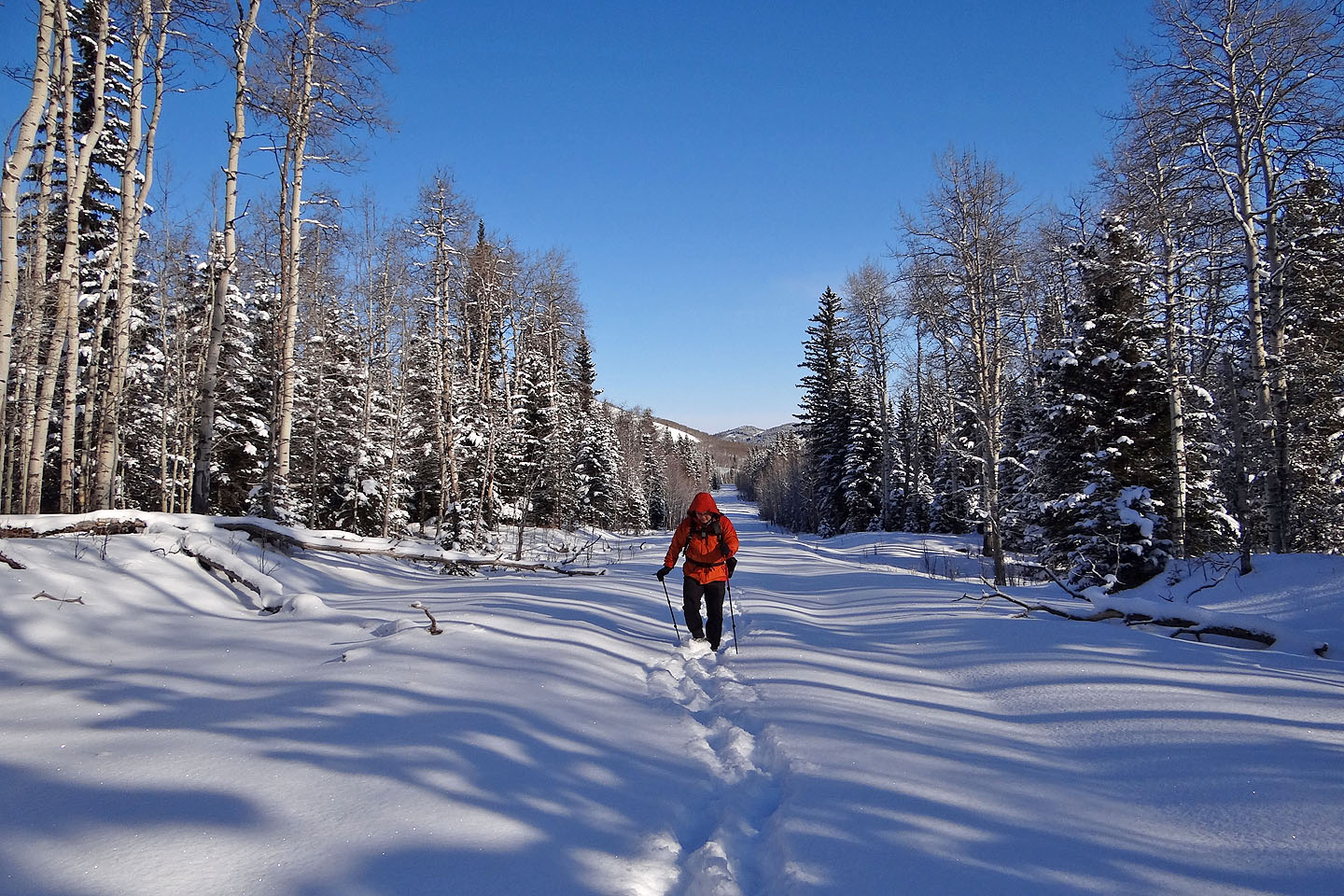
Hiking up the first kilometre of the logging road
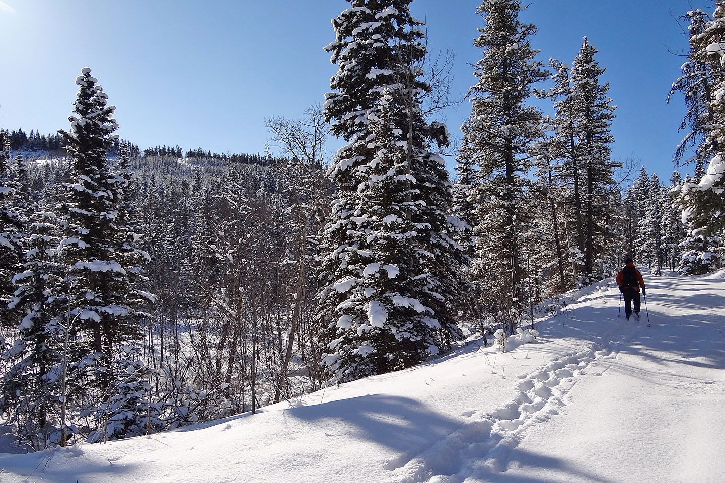
On our left is an intervening ridge we'll go over
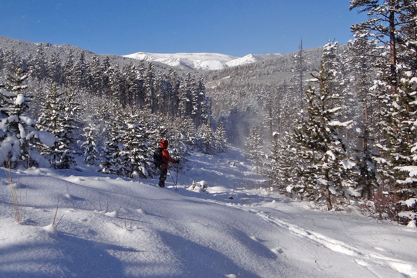
The road starts up the ridge. We looked back as a wind gust sends spindrift into the air.
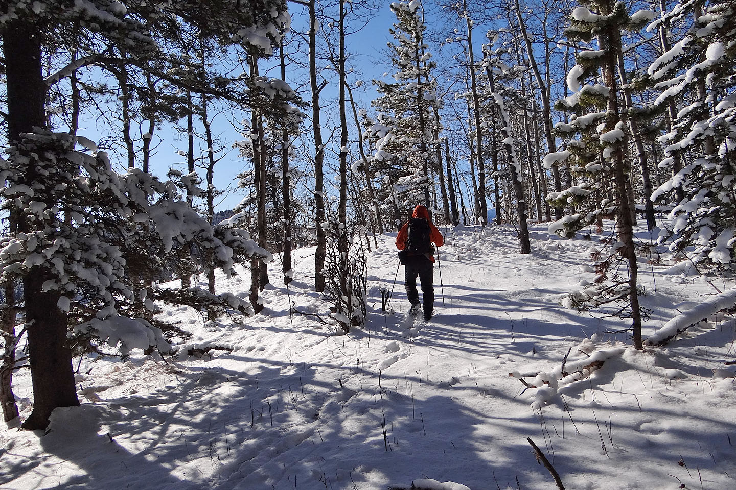
After the road ends, we continued over the end of the ridge
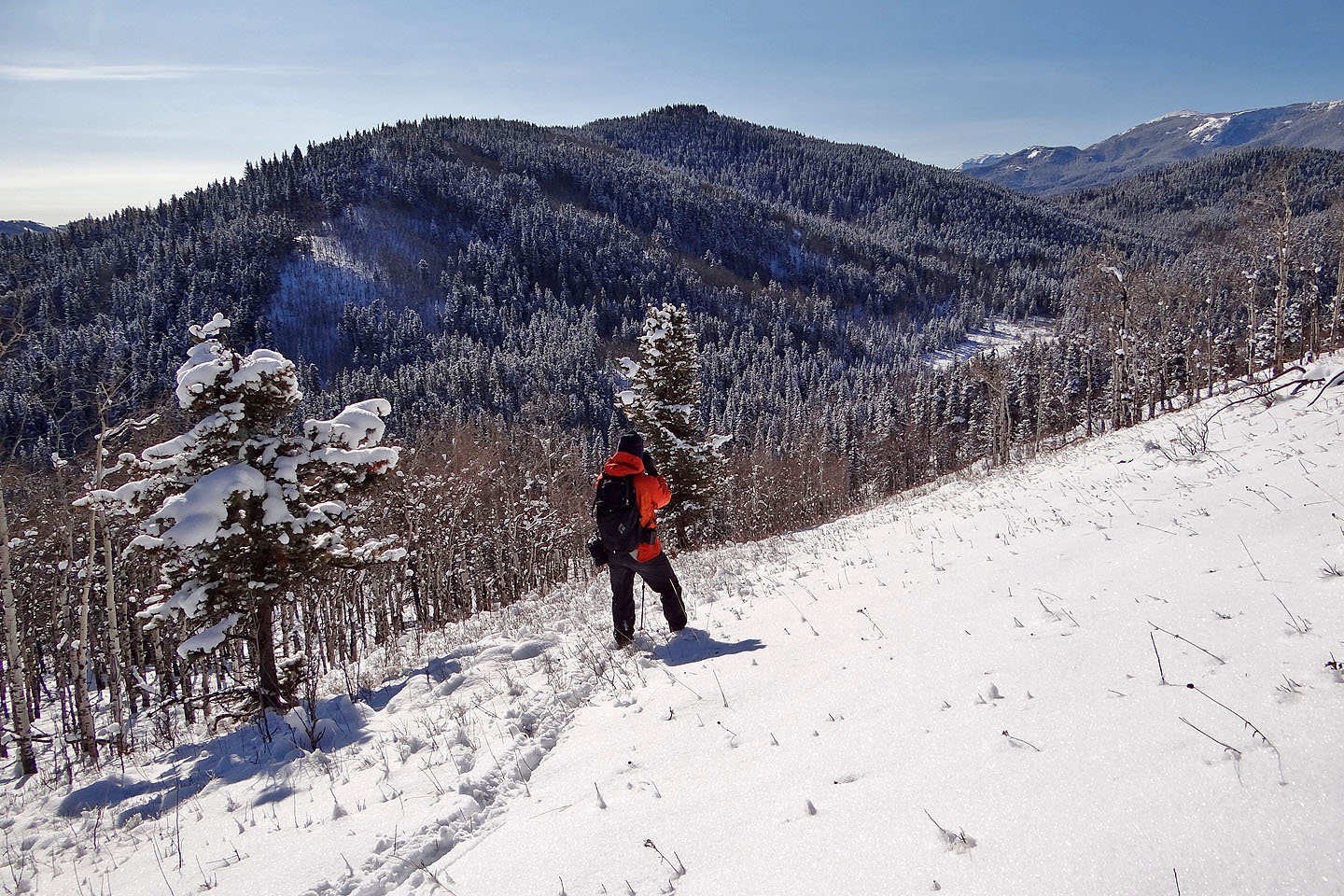
Cell Phone Ridge came into view. We dropped down to the clearing in the valley below.
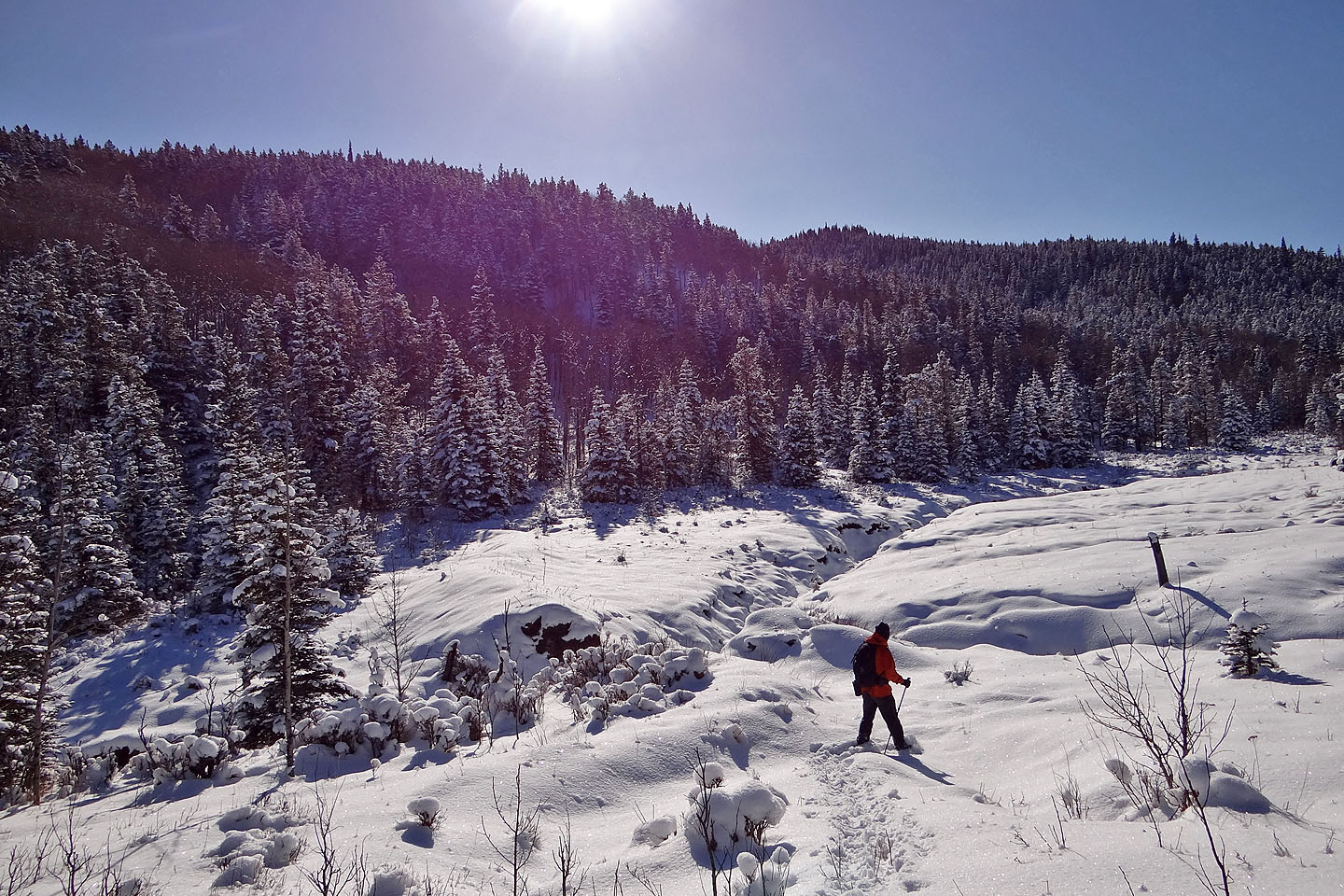
We went almost to the end of the clearing in the valley before turning left to start
climbing
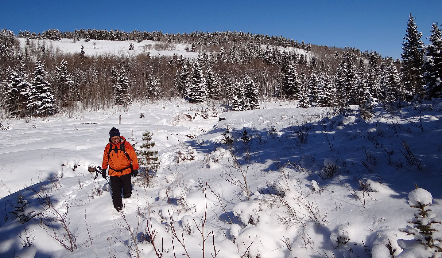
Looking back at the ridge we descended
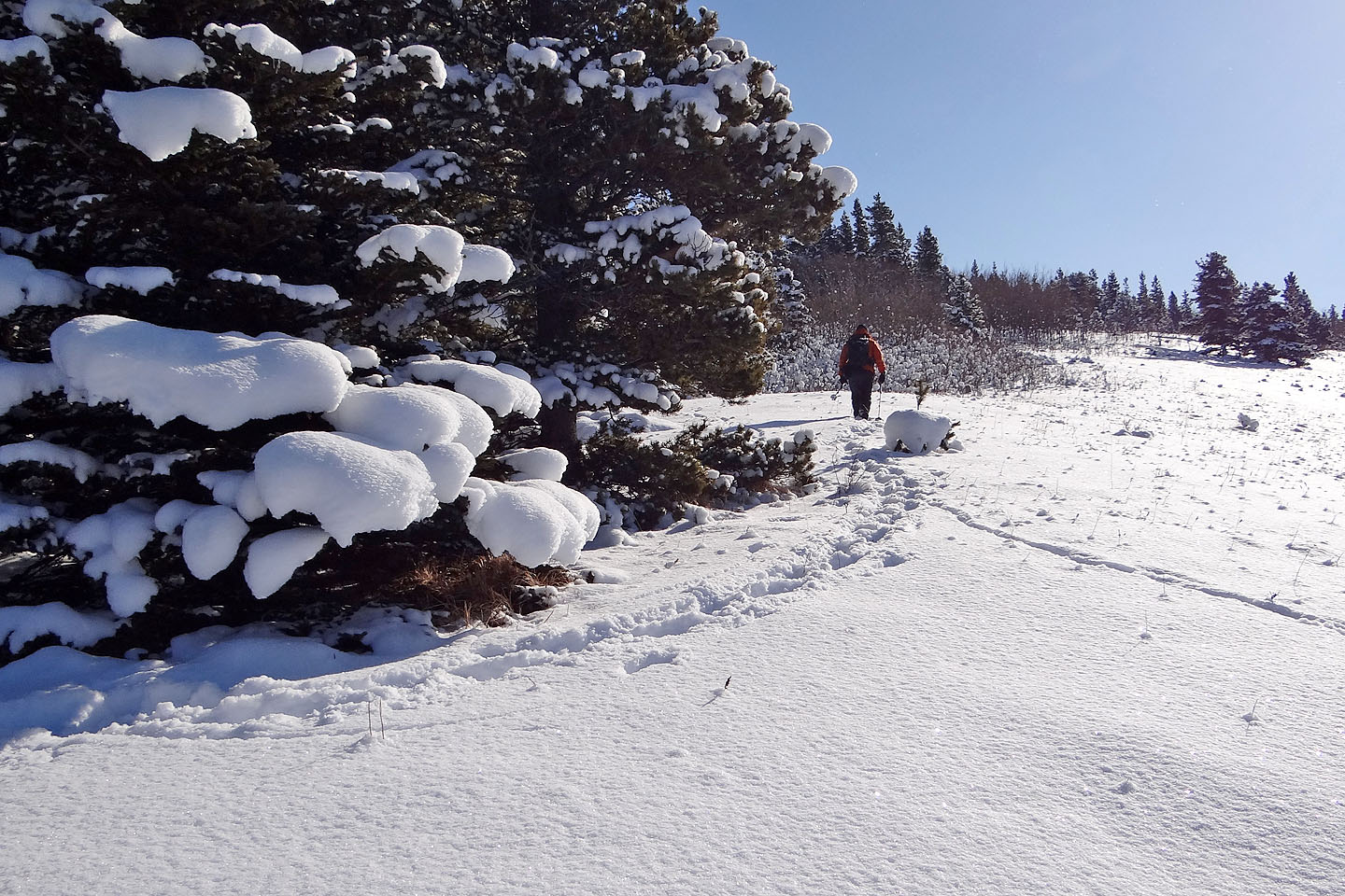
We soon reached an open slope
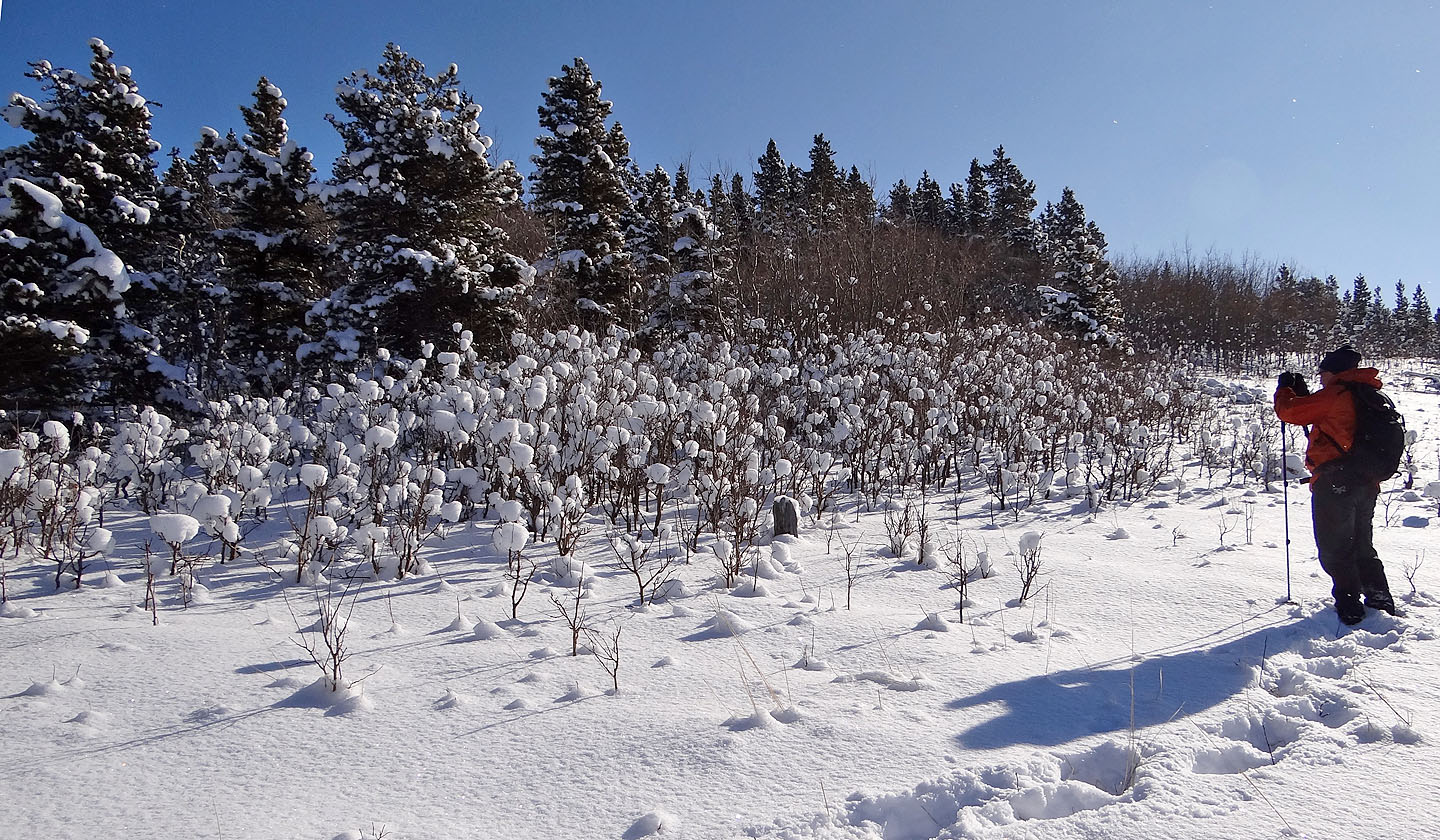
Sonny stops to photograph snowballs in the bushes (mouse over)
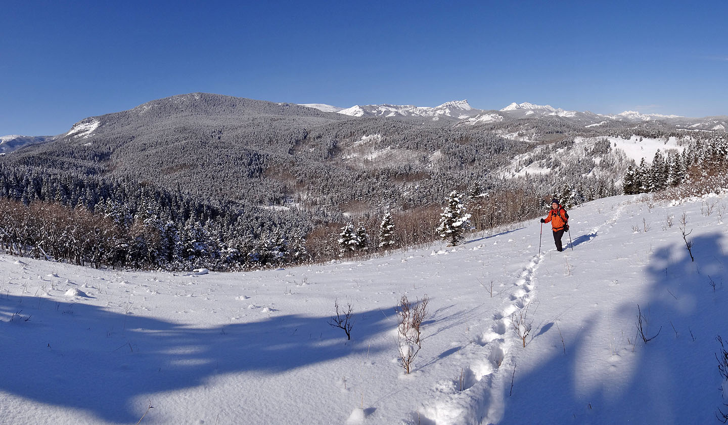
Looking back (click for a larger image). Johnson Creek Ridge on the left, a winter hike that
uses the same approach.
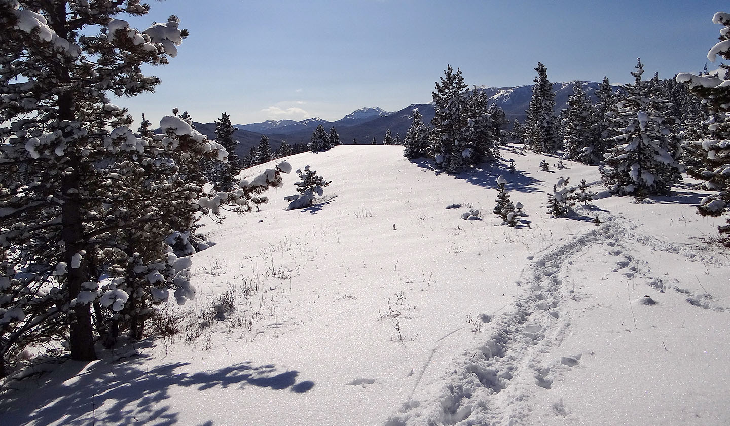
After following a treed ridge we broke out onto a clearing south of the summit. In the centre
are Horseshoe Ridge and Sheep Mountain (mouse over)
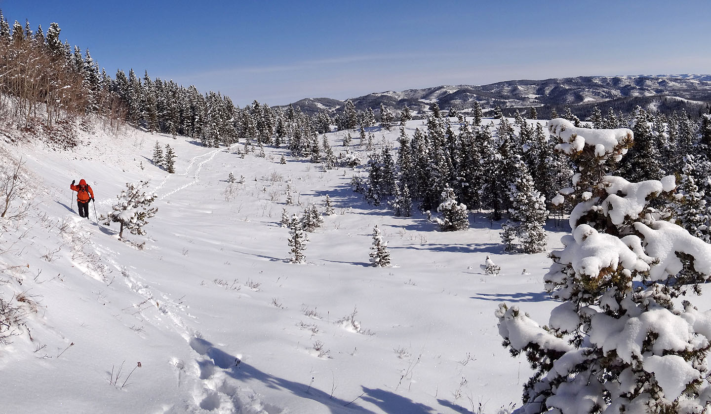
Crossing the south slope below the summit
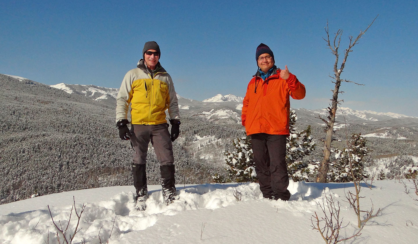
Posing on the summit
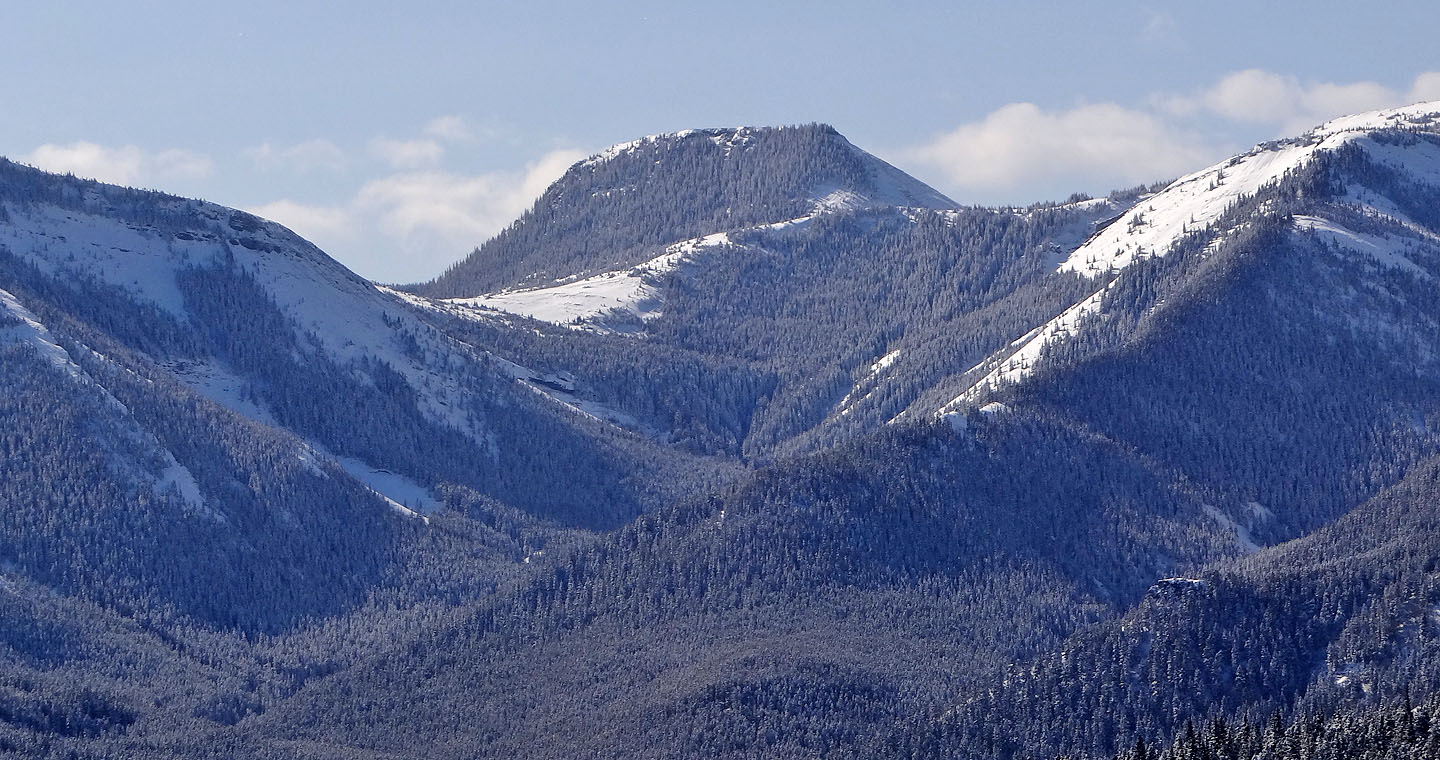
Distinctive Mount Honecker which Sonny and I climbed three months ago
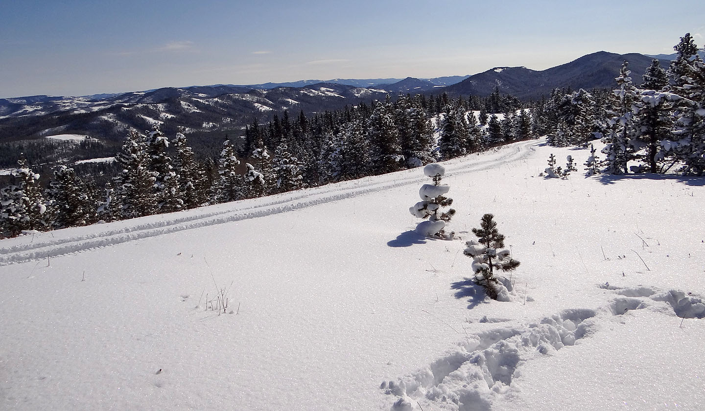
On the way back I stopped to look at the foothills to the SE. ATV tracks in the foreground.
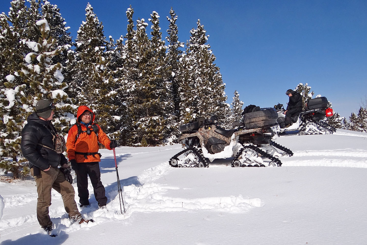
Sonny talks to one of the ATVers while the other is on his cell phone
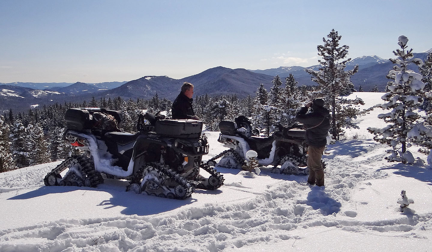
The ATVers called the ridge in the background "Tick Ridge"
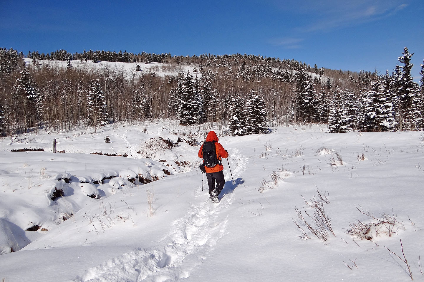
Back in the valley: we came over the end of the ridge on the right but headed back on the open
slopes left
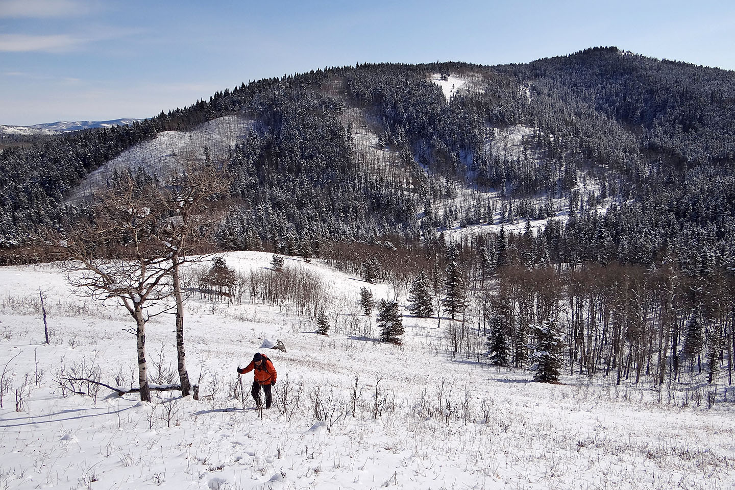
Looking back at Cell Phone Ridge after ascending partway up the slope
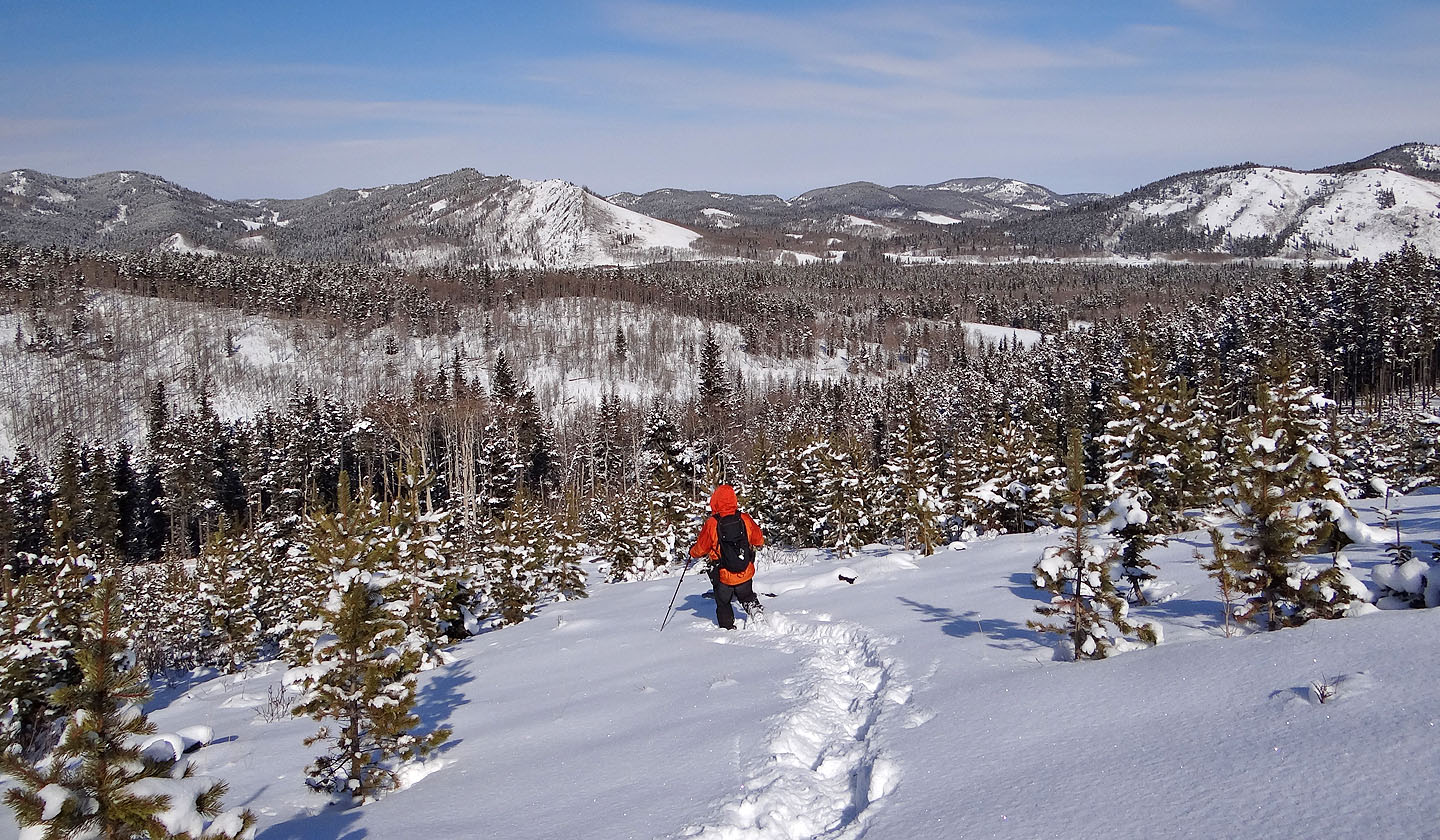
Hiking down though young pines in a cutblock to get back on the road. Indian Graves Ridge in the centre (mouse over).
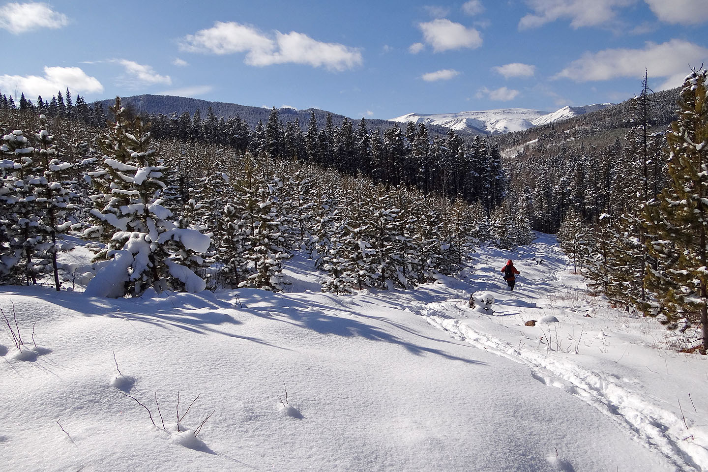
Back on the road
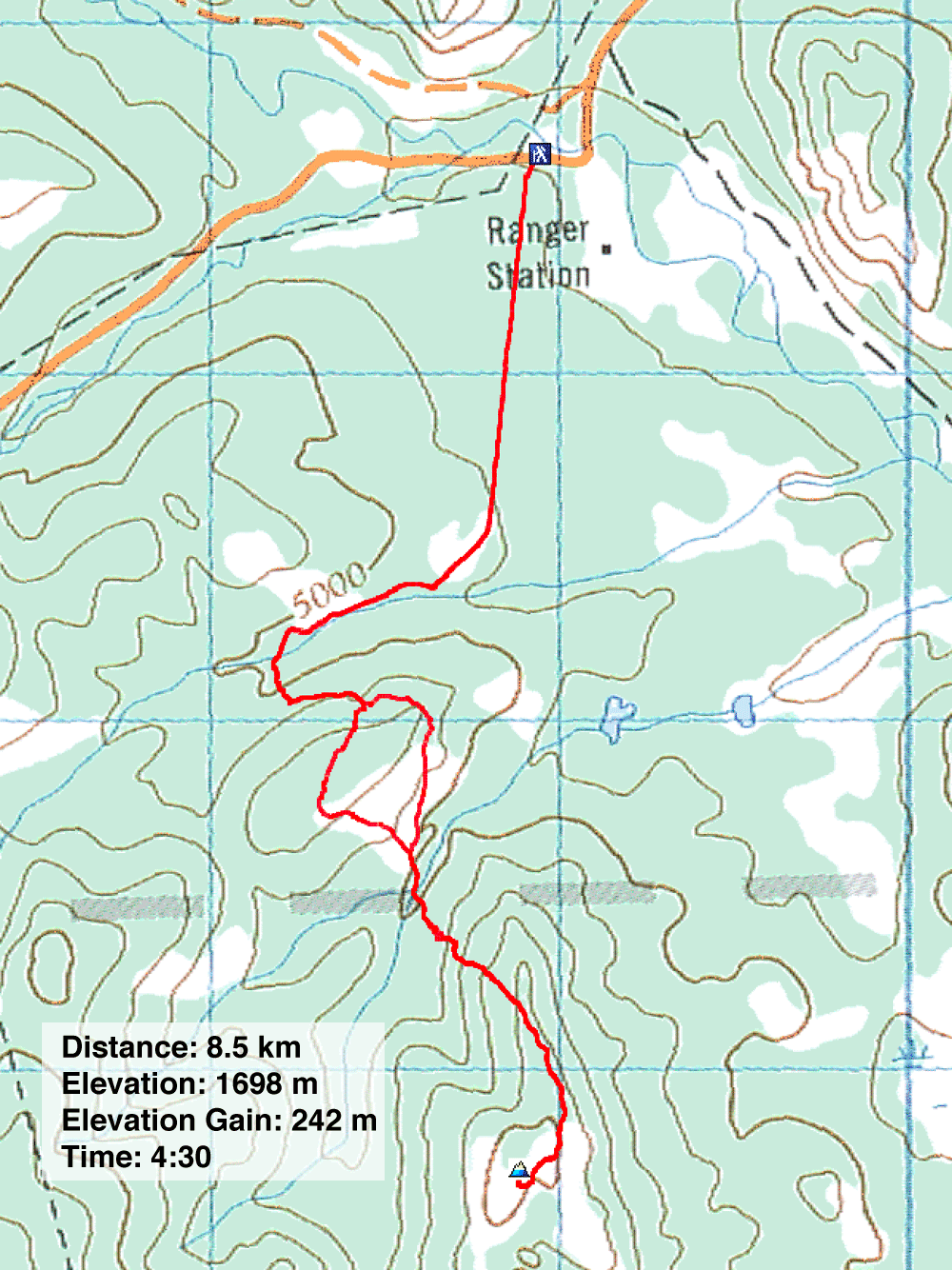
82 J/1 Langford Creek
