bobspirko.ca | Home | Canada Trips | US Trips | Hiking | Snowshoeing | MAP | About
Indian Graves Ridge and Willow Ridge
Kananaskis, Alberta
January 7, 2012
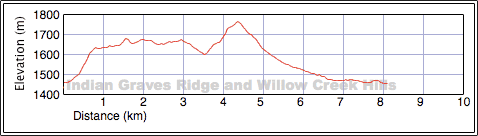
Distance: 8.1 km (5.0 mi)
Cumulative Elevation Gain: 405 m (1329 ft)
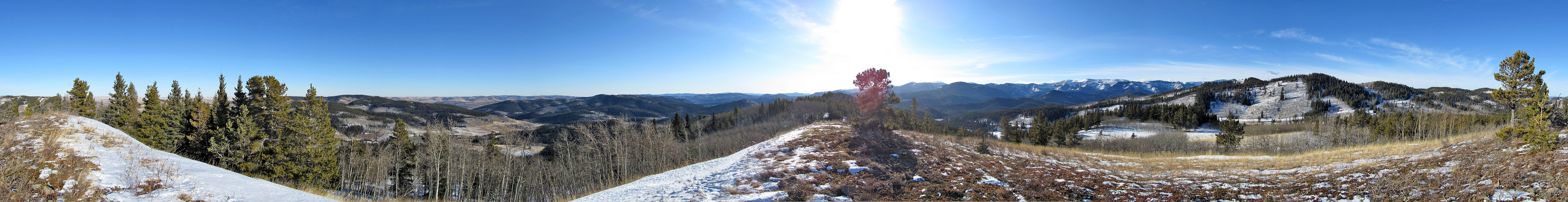
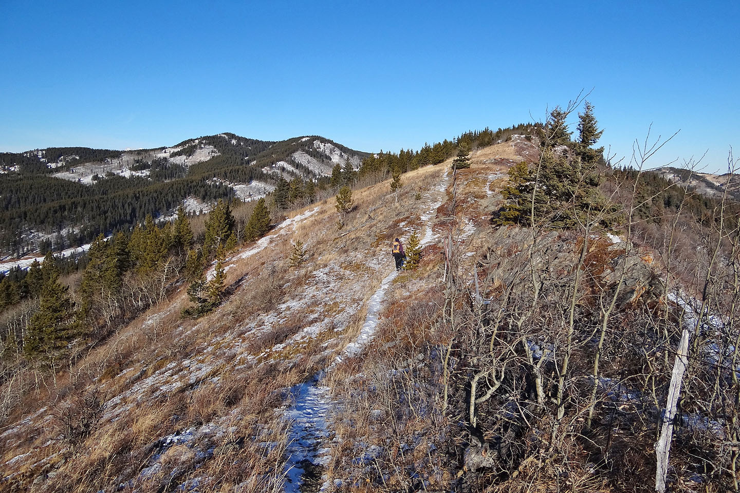
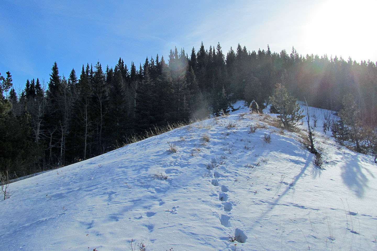
With mild weather persisting in winter and producing relatively dry conditions in the foothills, Dinah and I decided to traverse Indian Graves Ridge. The ridge isn't a grave endeavour but rather an enjoyable ridgewalk. Although the central portion of the ridge is treed (we passed over the summit without realizing it), it is open to the sky at both ends.
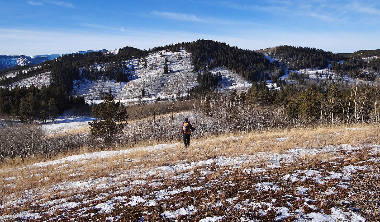
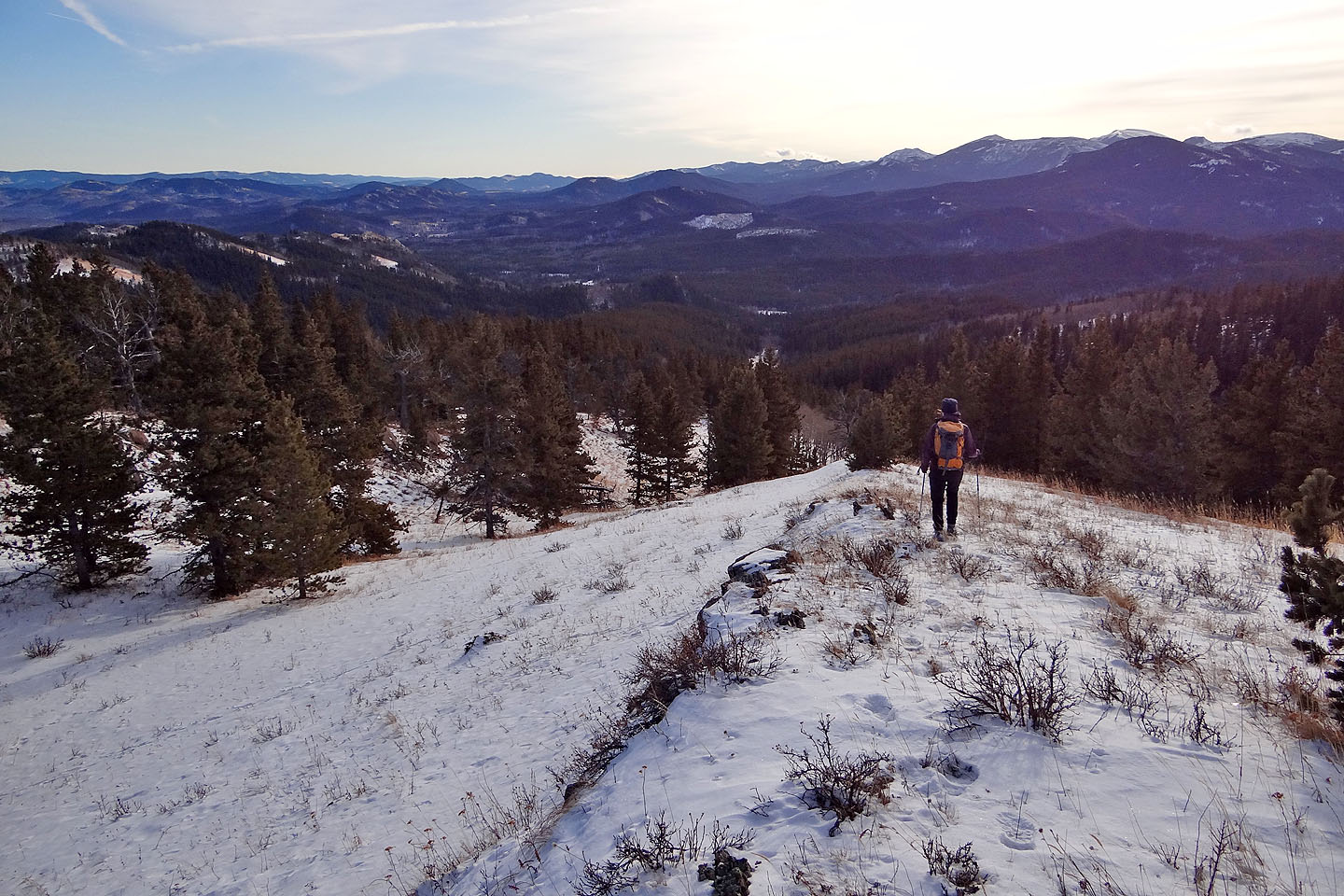
After taking a panorama at the north end of the ridge, we turned westward to hike to a high point in Willow Creek Hills: Willow Ridge. After dropping down to the creek that separates Indian Graves Ridge from Willow Ridge, we started up a road intent on making our way to an old well site. However, knee-deep snow persuaded us to abandon our plans to visit the abandoned well. We post-holed to the ridge crest and headed to the high point.
We weren't the first to reach the top that day. A deer peered at us through the trees before bounding away. After reaching the high point, we had doubts that this was the highest point in the Willow Creek Hills. The map in the Kananaskis Trail Guide shows a triangle here, but after studying the NTS map, the highest hill appears to be a few klicks to the northwest. Apparently the triangle marks a viewpoint, an open ridge a short distance from the treed high point. We left the true summit of Willow for another day.
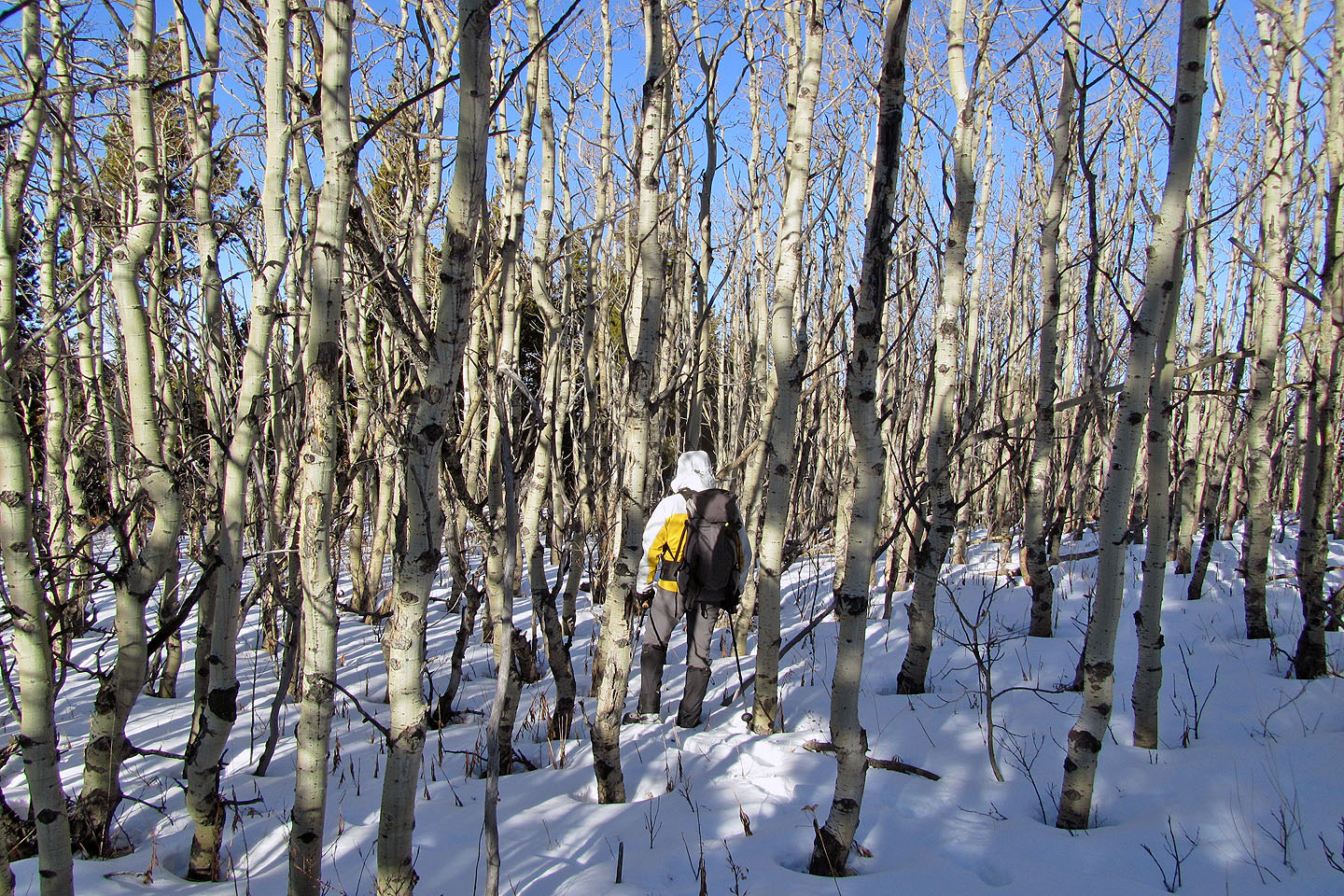
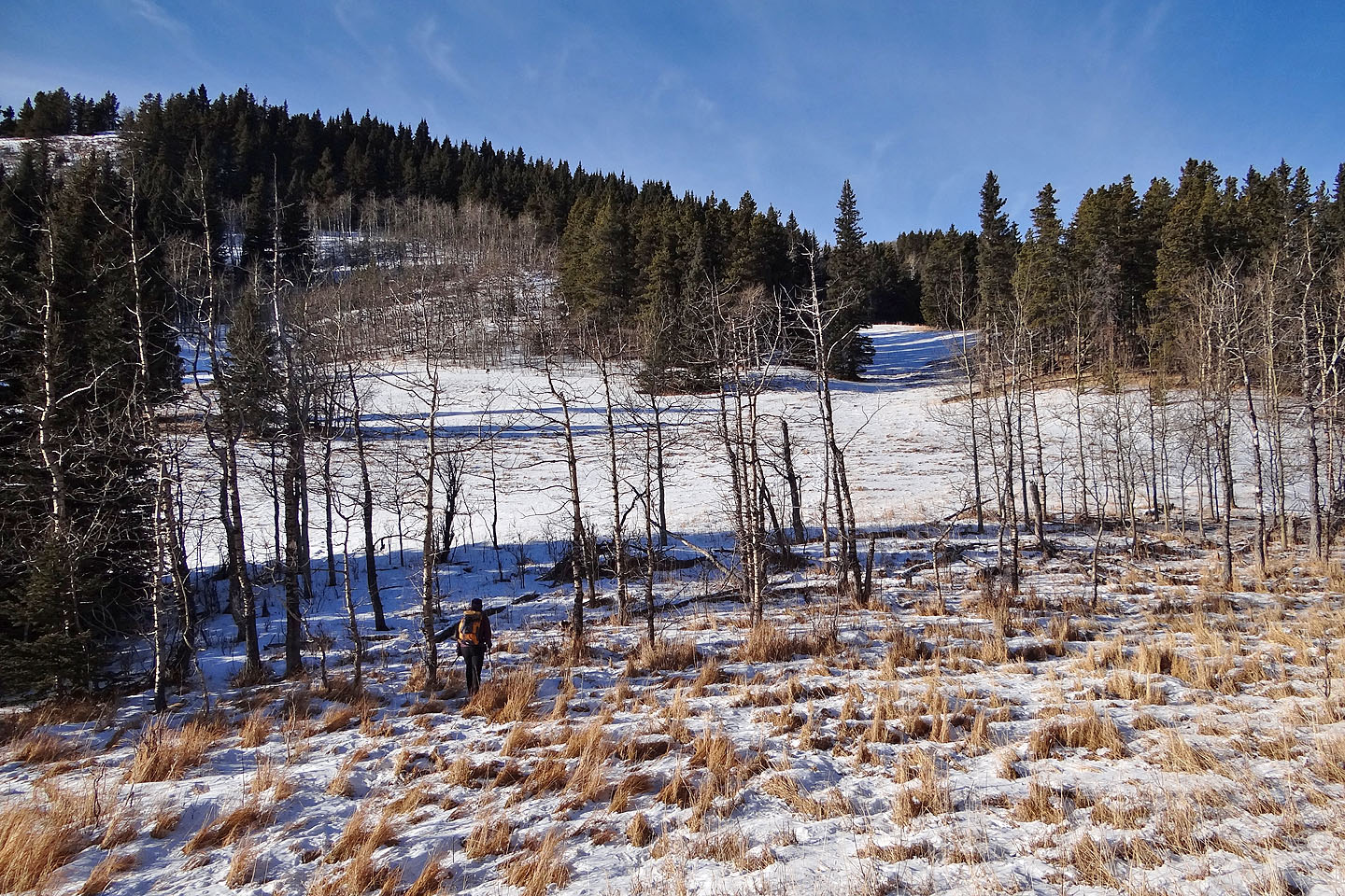
From Willow Ridge, we started heading south. At first we stayed on a ridge, but clearings in the forest dictated we follow the valley bottom instead. The grassy valley, bearing few trees, turned out to be a pleasant hike, and it led us to roads which we followed back to our car.
Postscript: Instead of descending the ridge, you can return along the well road. See our 2021 trip.
Indian Ridge viewed from a high point southeast
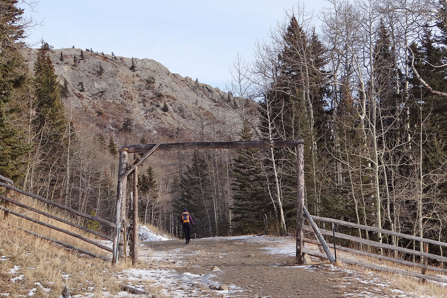
Starting off from the gated road east of the bridge
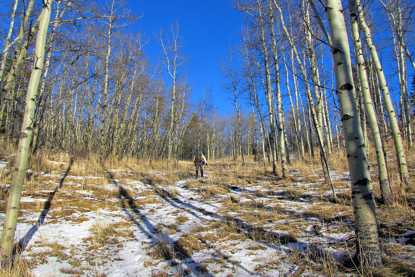
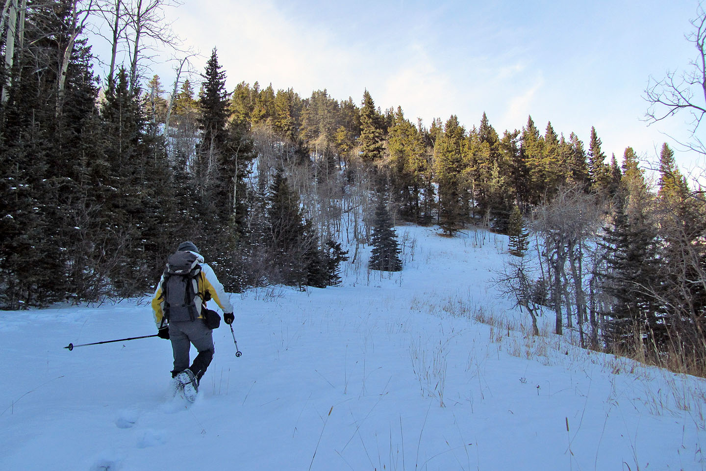
We soon left the road and started up a trail
Heading to the ridge crest
Looking back
Hiking along the crest
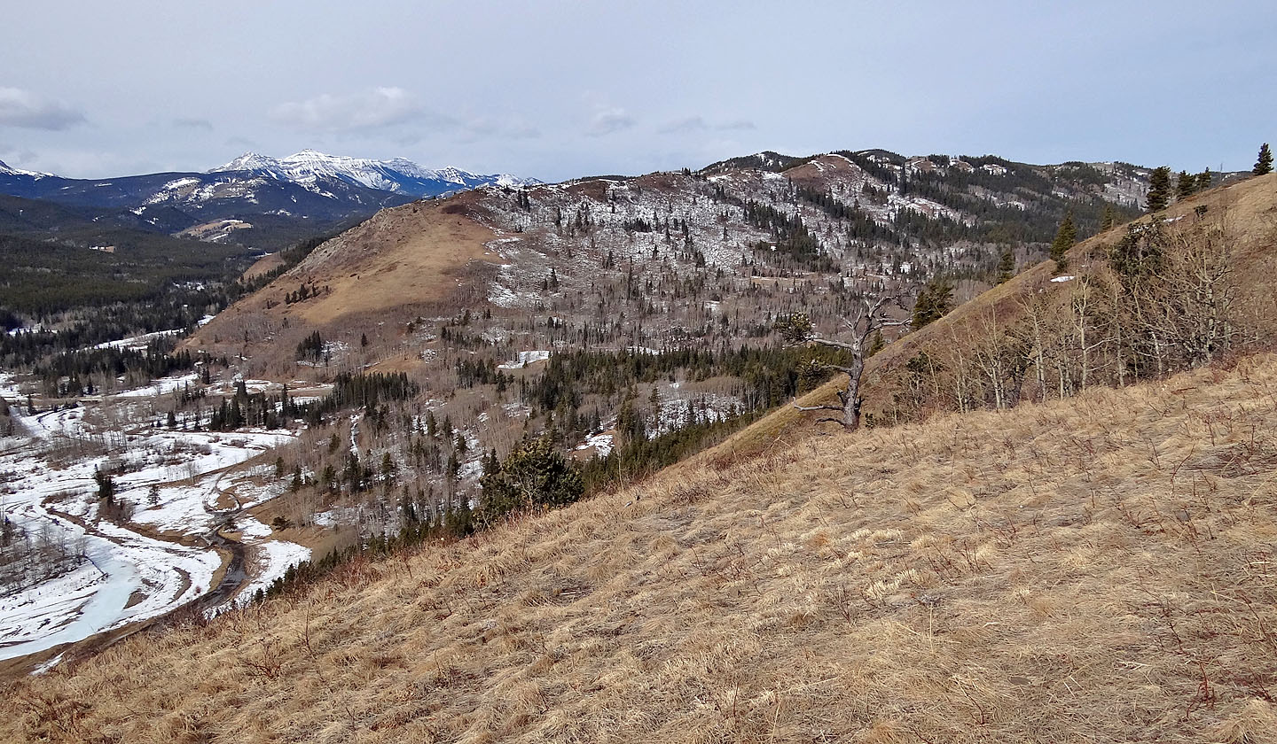
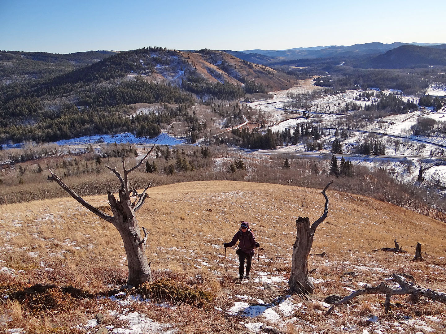
Willow Creek Hills on the left
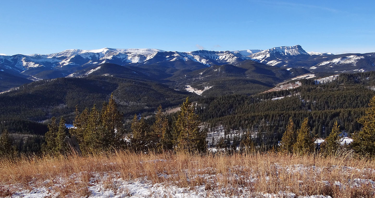
Looking west at Sentinel Peak (mouse over for a close-up)
The view east
The central portion of the ridge is mostly treed
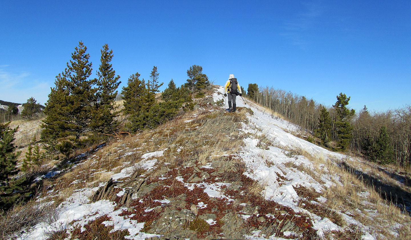
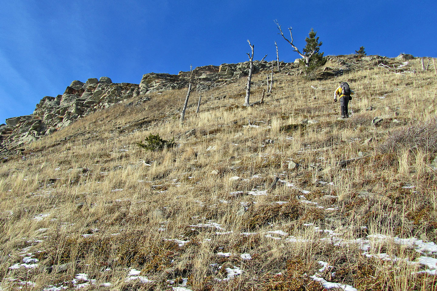
Heading to the summit of Indian Graves Ridge
From
Indian Graves Ridge we headed to Willow Creek Hills
In the valley, we went to the road winding through the trees
On the road
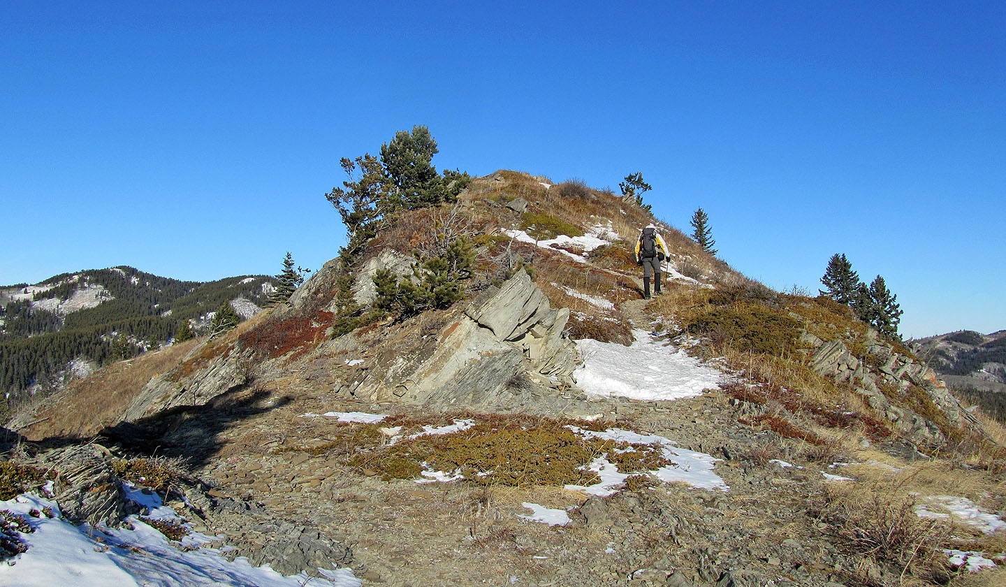
On the crest going to Willow Ridge
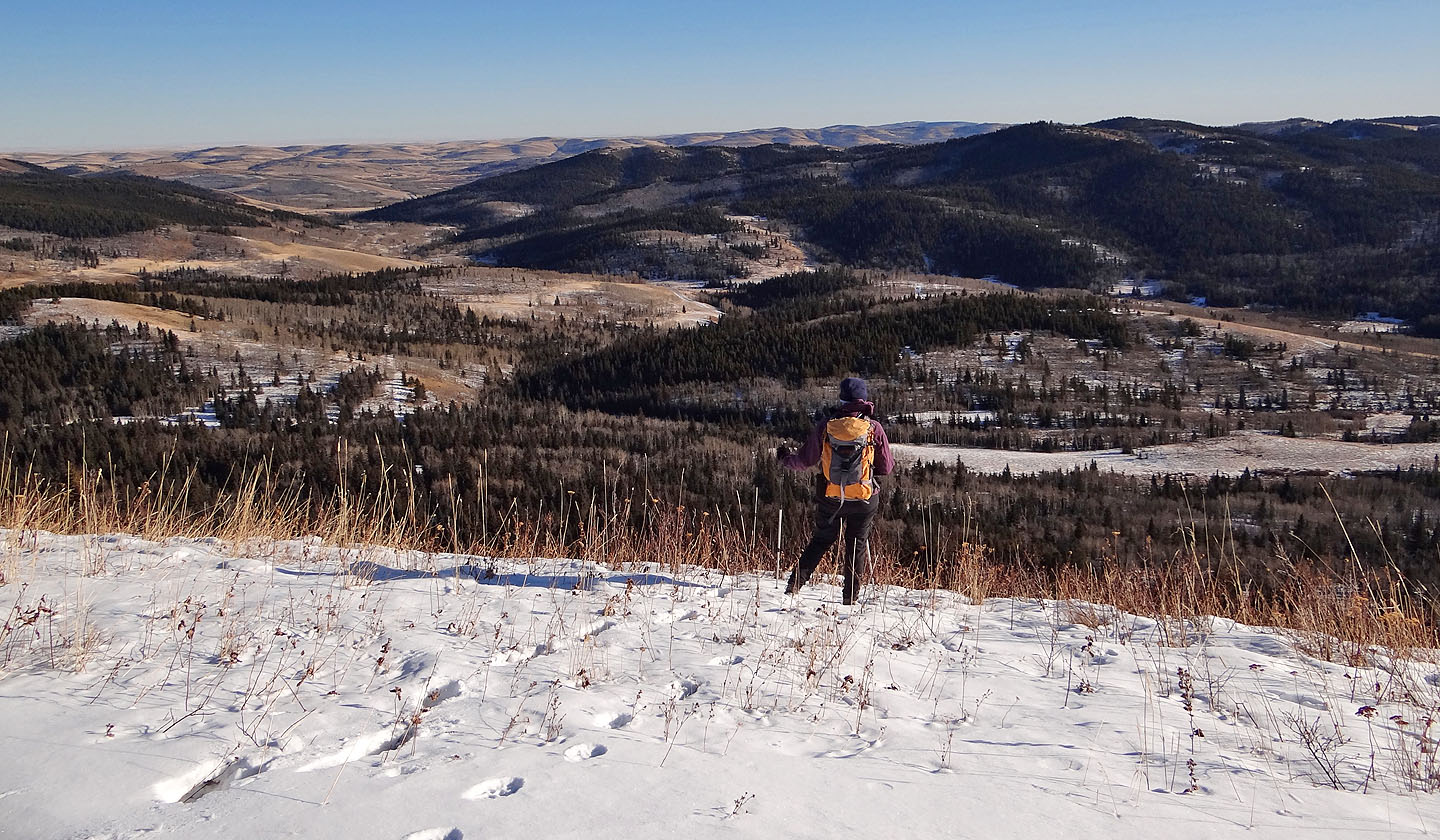
From the viewpoint, views are confined to the south
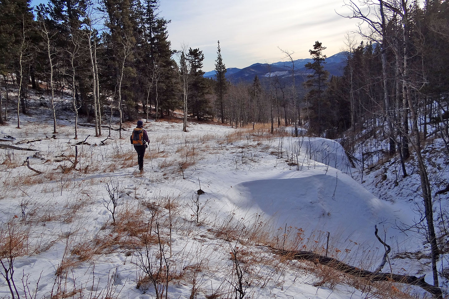
Following the valley bottom
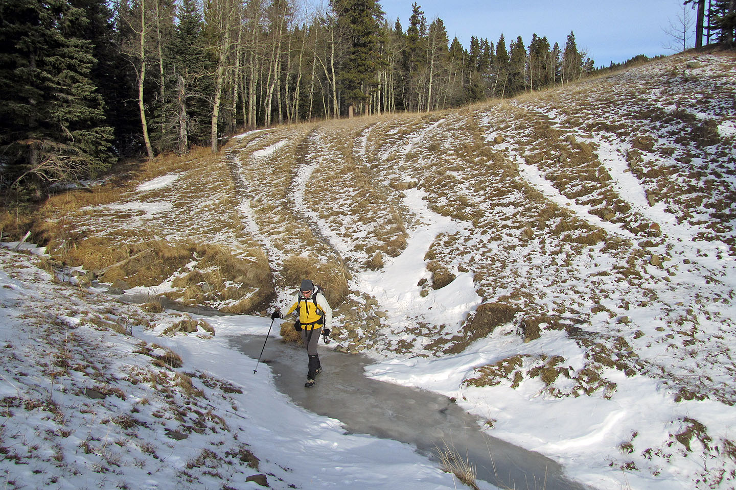
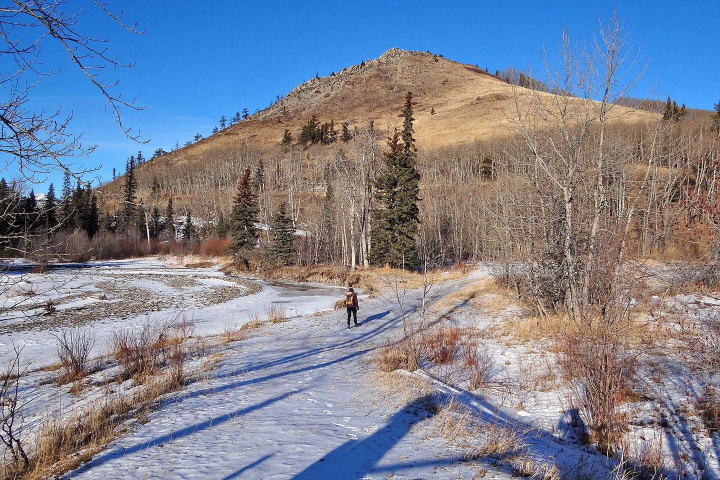
Crossing a frozen creek
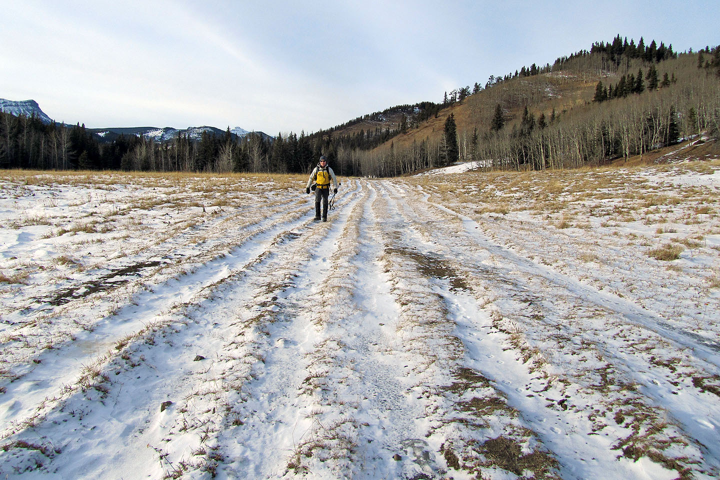
We were surprised to see so many tracks in the road
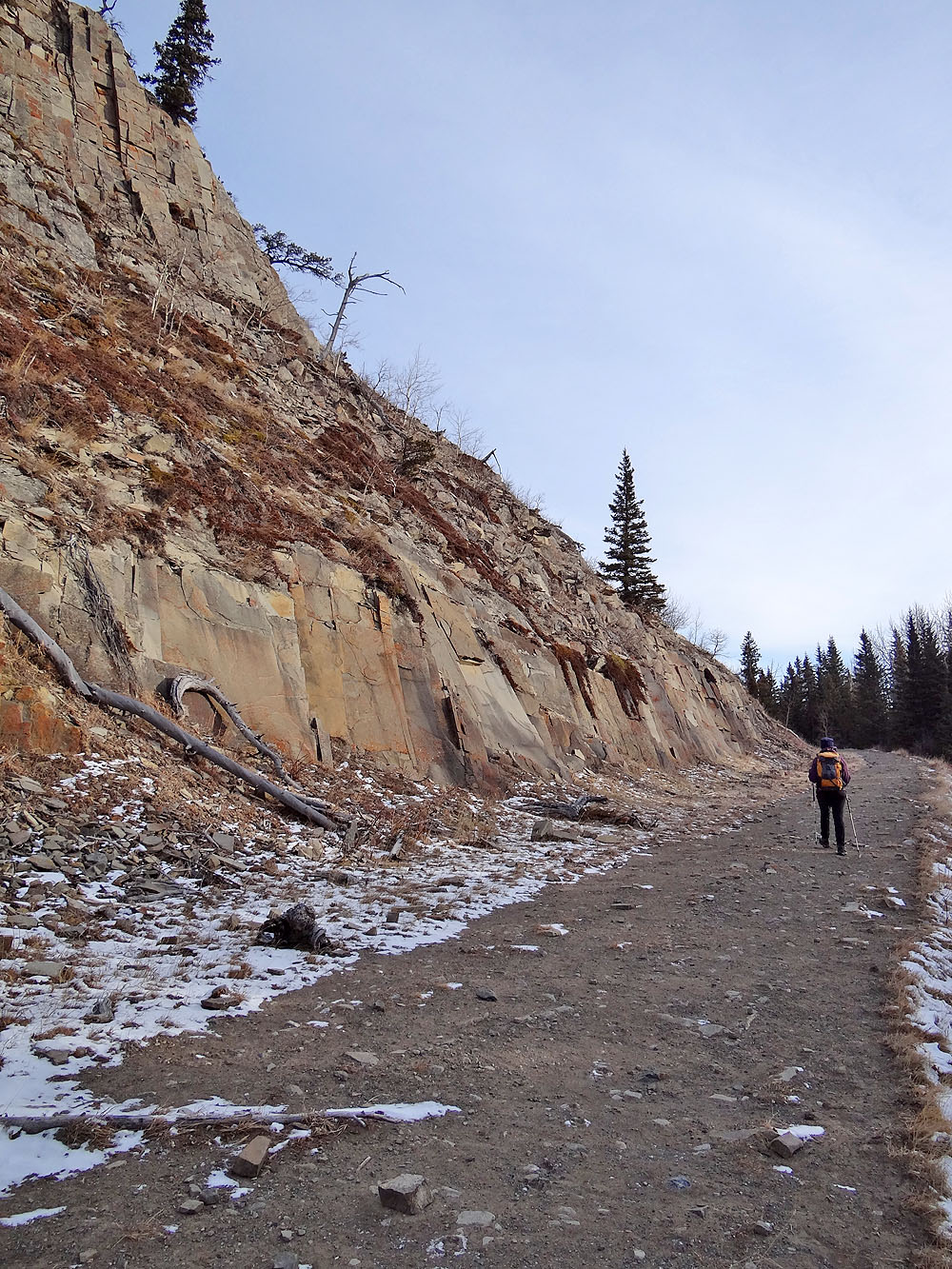
Passing by some striking rocks (mouse over for another view)
Almost back at the south end of Indian Graves Ridge
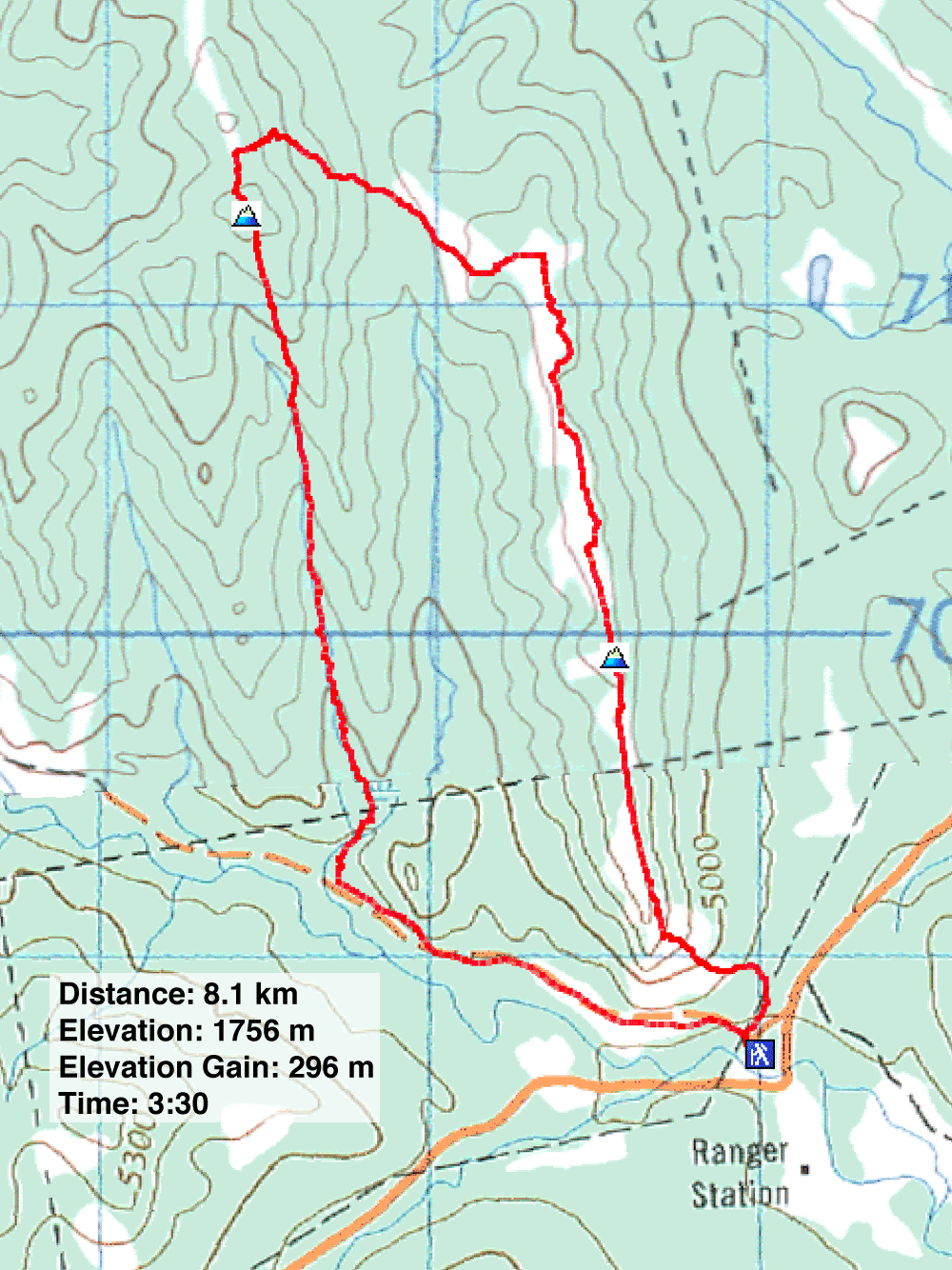
82 J/8 Stimson Creek, 82 J/1 Langford Creek