bobspirko.ca | Home | Canada Trips | US Trips | Hiking | Snowshoeing | MAP | About
Yates Mountain and McConnell Ridge
Kananaskis, Alberta
April 10, 2010
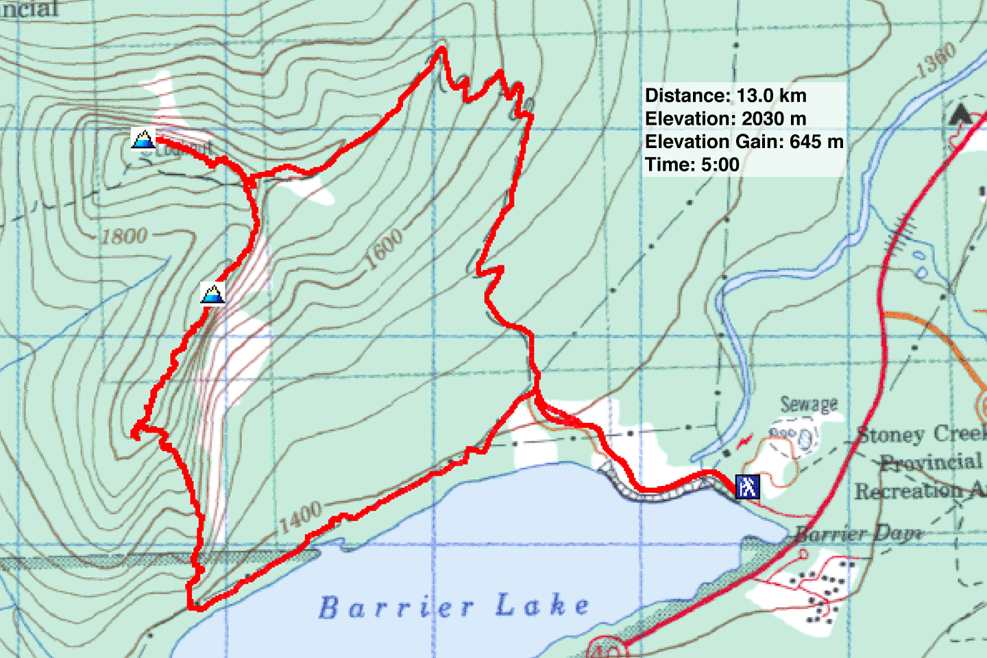
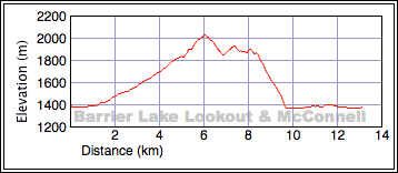
Distance: 13.0 km (8.1 km)
Cumulative Elevation Gain: 775 m (2543 ft)
Two days after Calgary was hit by a snowstorm, we assumed the mountains would be under fresh snow, so we settled on hiking up Yates Mountain for exercise. But there was little fresh snow in the mountains, and after a vapid hike up Prairie View Trail to Barrier Lake Lookout on Yates, we decided to traverse McConnell Ridge.
McConnell Ridge extends south from Yates. To reach it, we started down the trail to Jewell Pass. We soon left the trail – and the crowds – to go up the ridge. It was thick with trees and with so few views, that we lost track of where we were. After a few ups and downs, we reached a tiny, pathetic cairn that marked the south summit. (If there was a cairn on the north summit, we missed it.)
The map showed a spur that splits east from the main ridge after the south summit. When we saw the spur through the trees, we thought we should try it. This ridge, if cliffs didn't prevent us, would be the quickest way down.
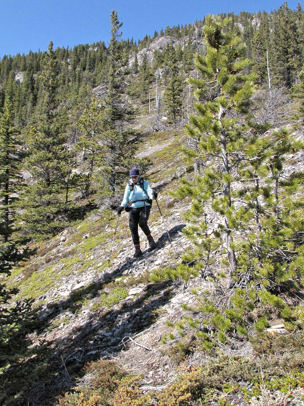
Since we had passed the spur before noticing it, we had to backtrack to get to it. The ridge appeared steep, although trees and terrain obstructed much of our view. As we descended, I expected to be stopped by cliffs. But when the way down appeared too precipitous, we found we could always go left, onto easier terrain.
Nothing stopped us on the spur, and we made it all the way down to the bottom to the powerline access road. After a 3.4 km trudge, we were back at our car.
Our trip was memorable only for traversing McConnell Ridge. Although there wasn't much to see, we enjoyed the routefinding and were glad to find solitude in an otherwise popular area. Those wishing to avoid McConnell Ridge can consider hiking down Jewell Pass trail.
KML and GPX Tracks
McConnell Ridge and Yates Mountain (the point far right)
Starting down the trail
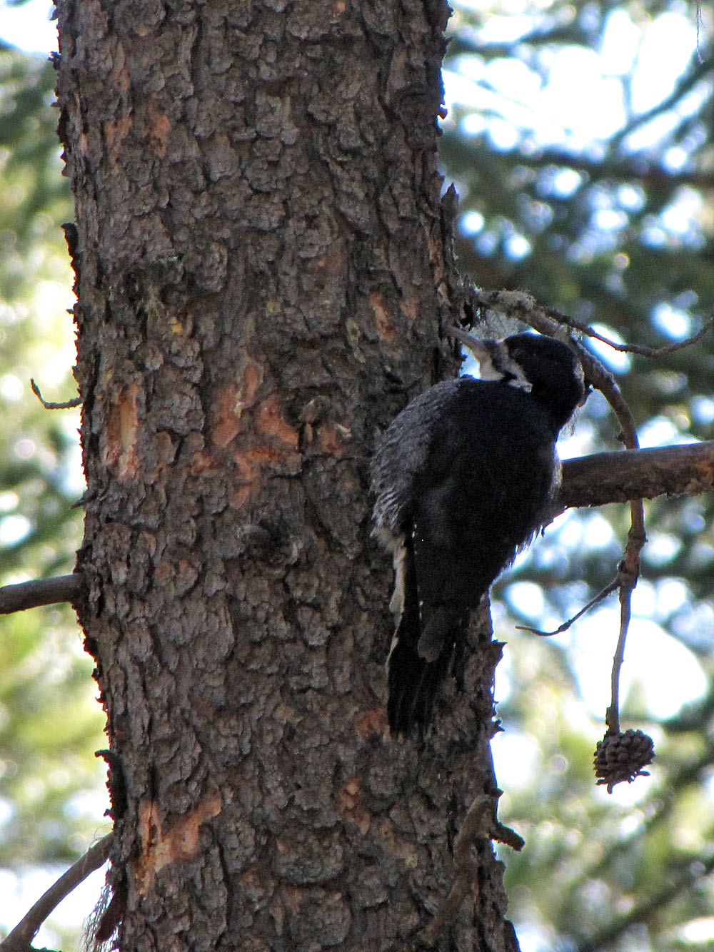
Black-backed woodpecker seen from the trail
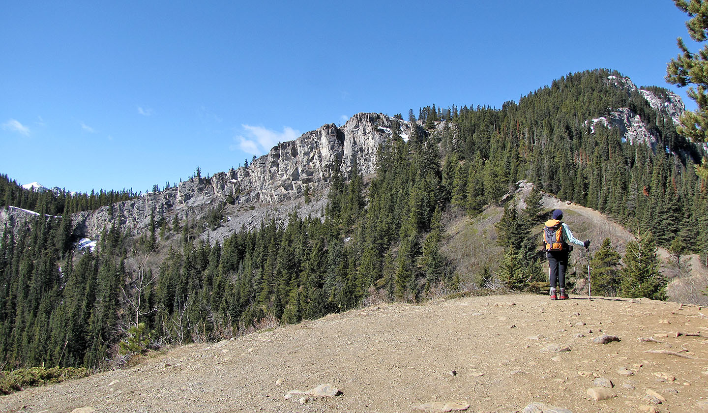
The rocky point (centre) is Prairie View. Yates Mountain is on the right.
The scene from Prairie Viewpoint
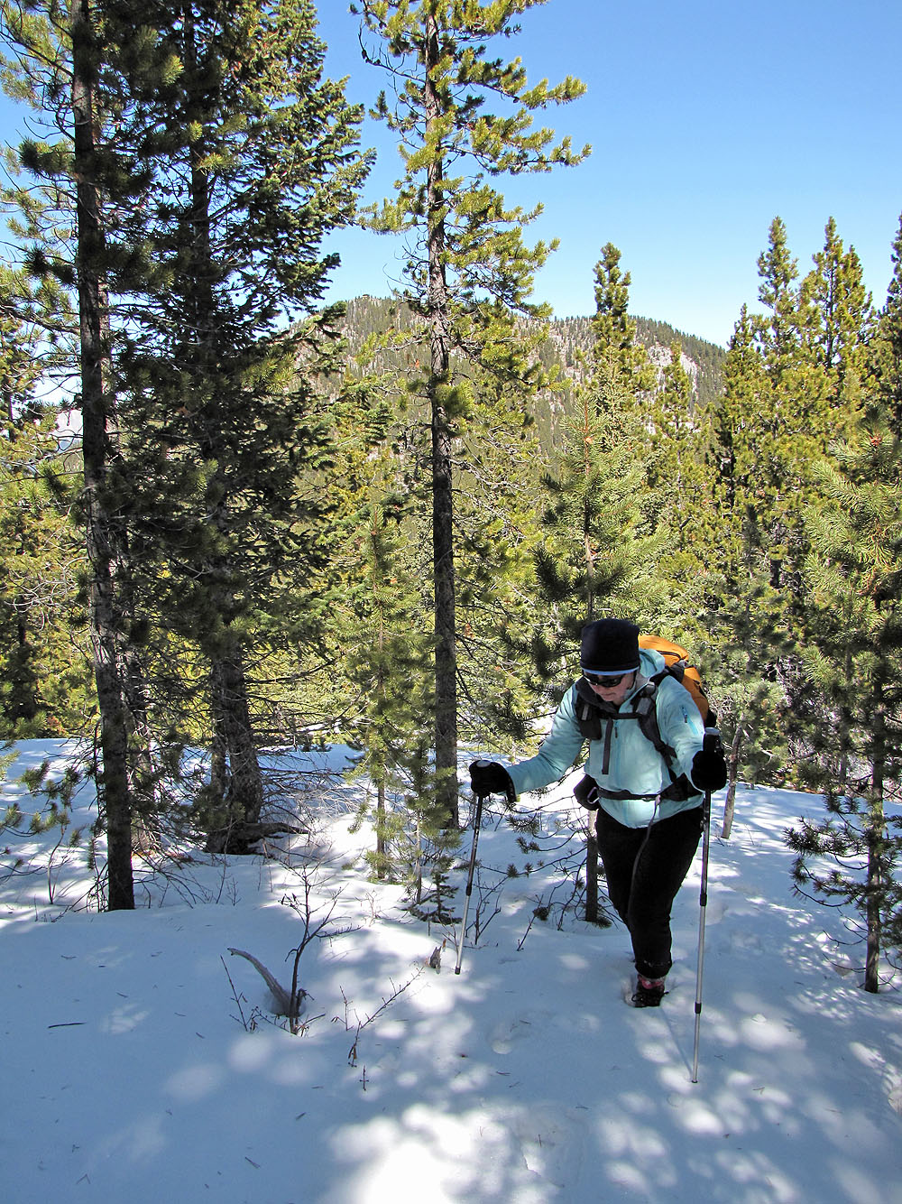
Heading to the summit
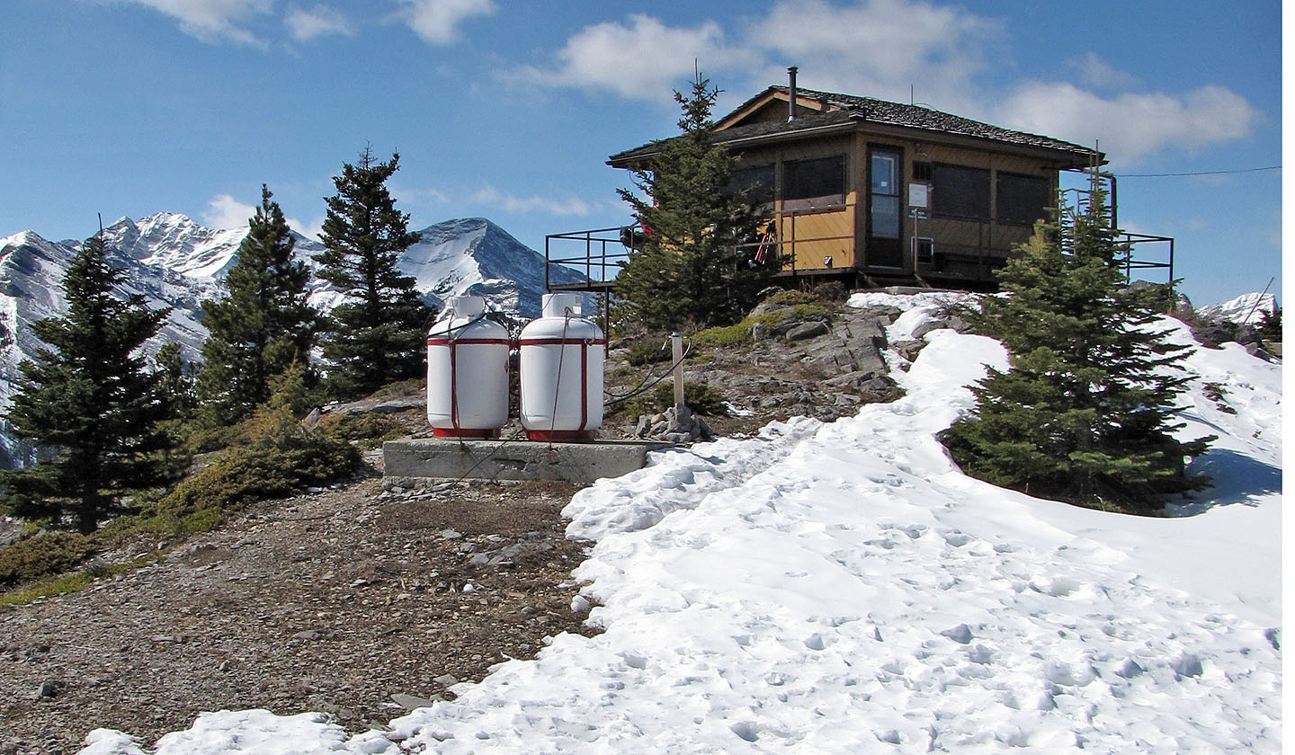
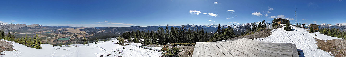
Barrier Lake Lookout
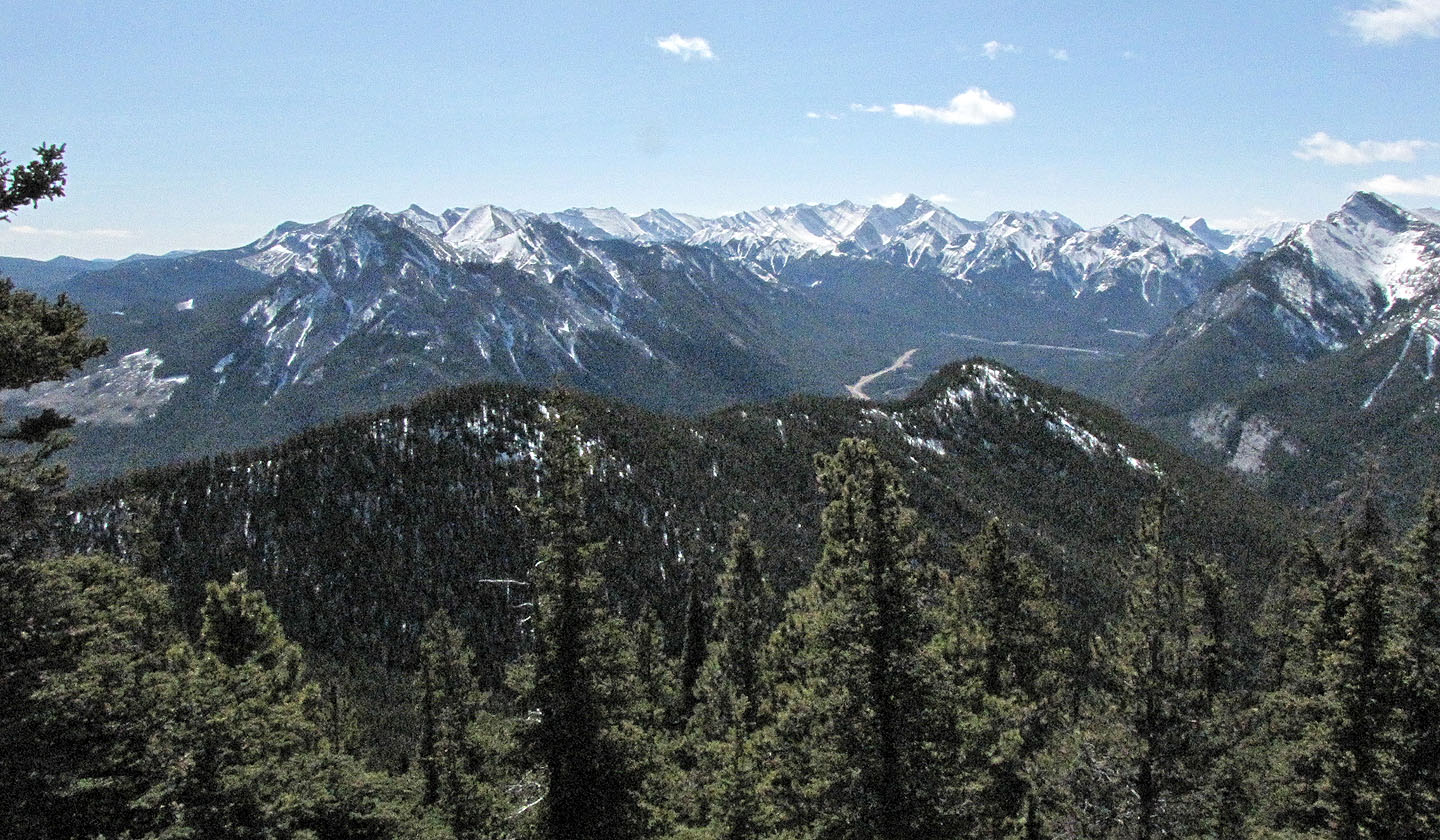
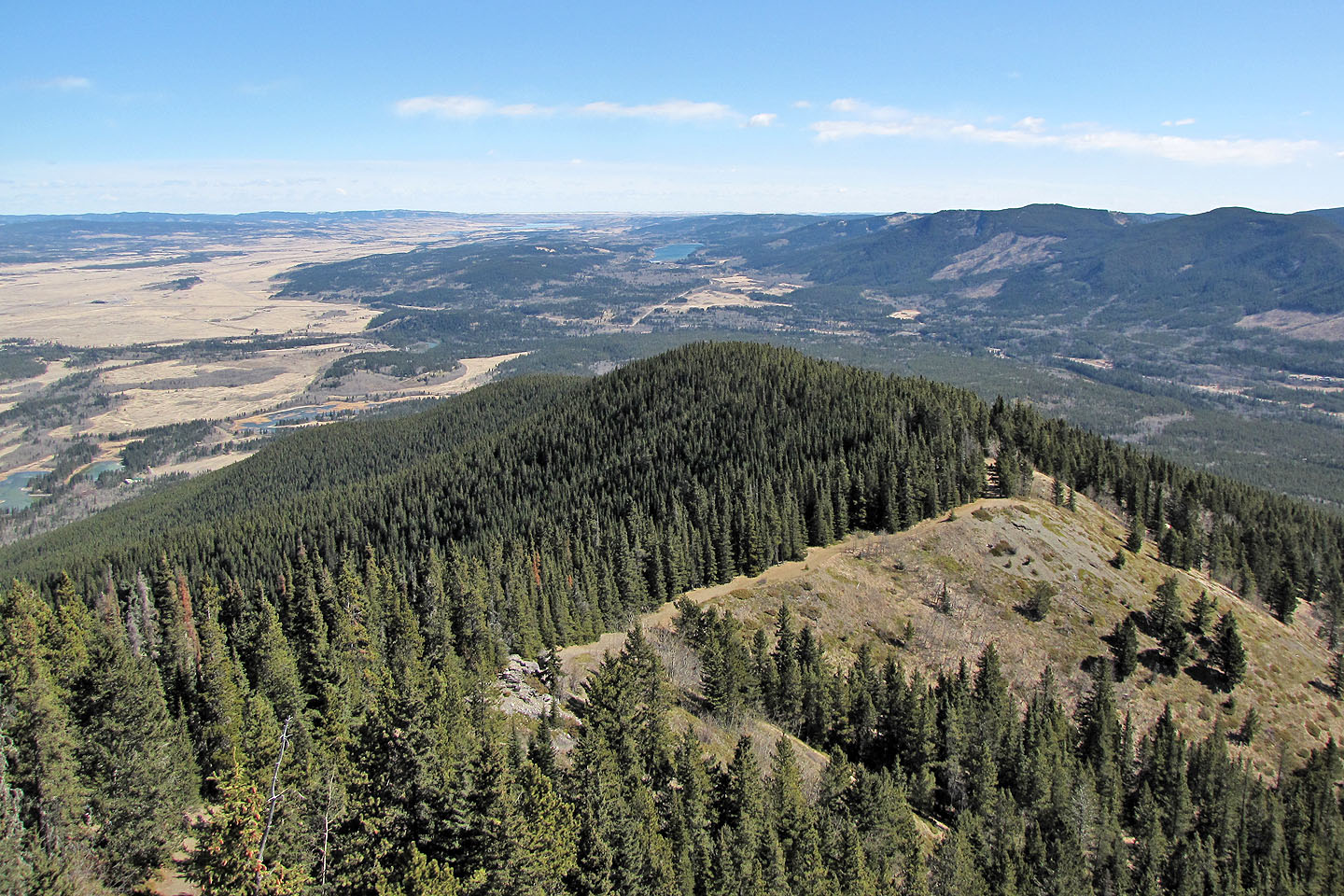
McConnell Ridge (foreground), seen from Barrier Lake Lookout, is 1930 m high
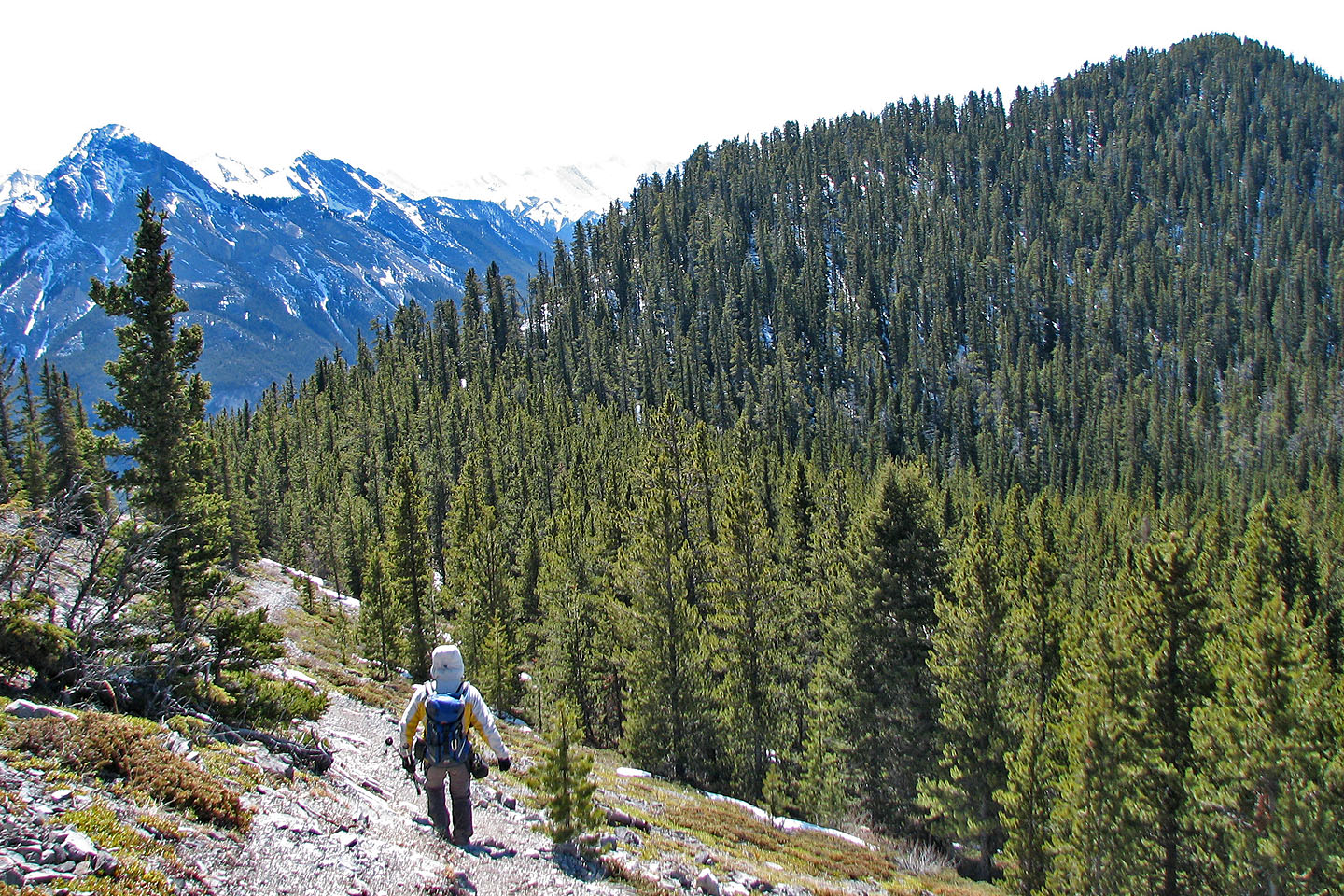
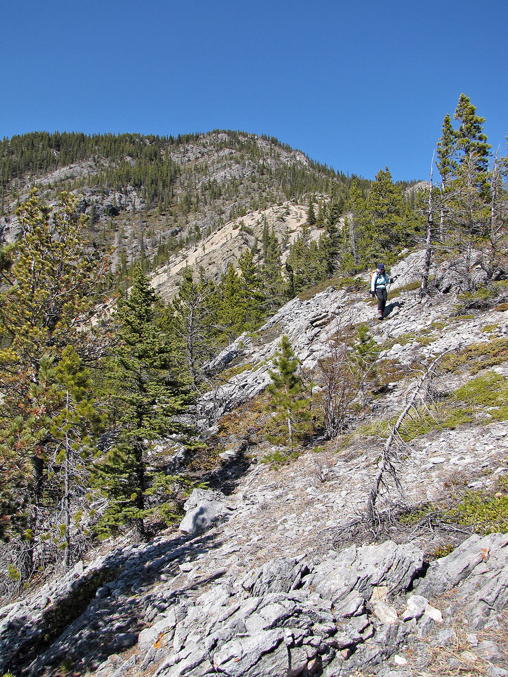
Heading to McConnell Ridge from Prairie View
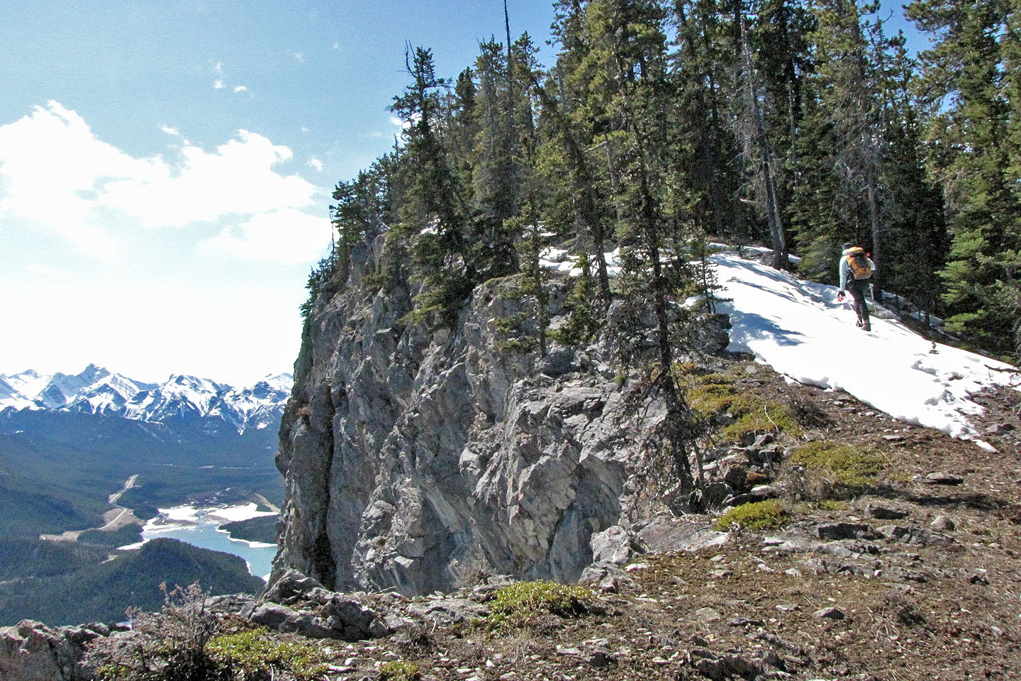
Except for this spot, we found the ridge to be covered in trees
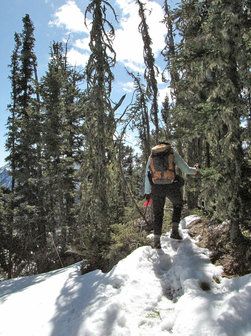
Following the ridge
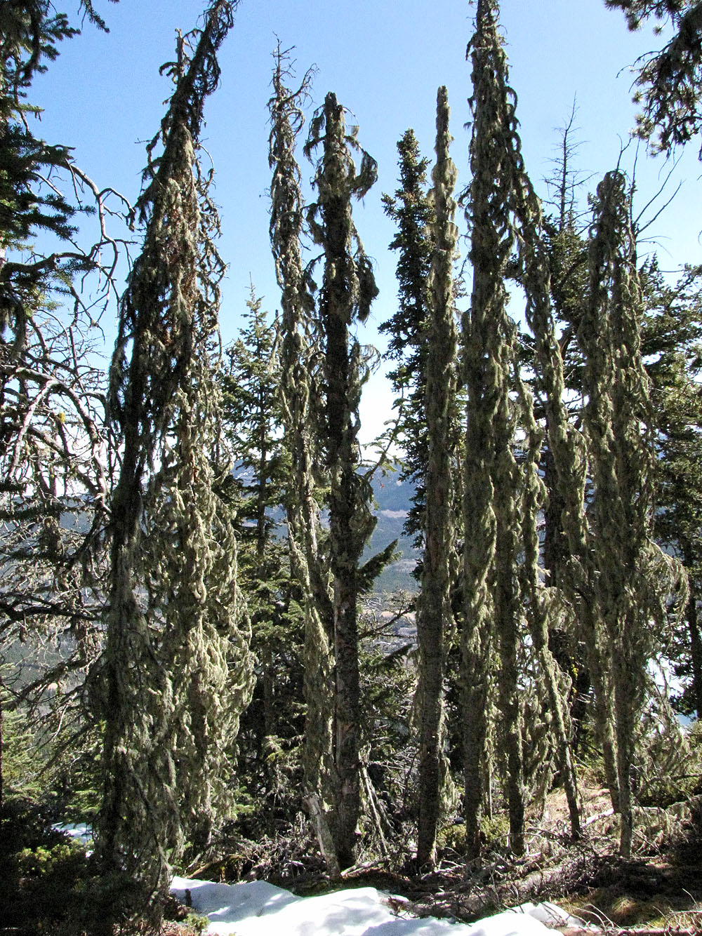
These strange-looking trees are actually dead trees covered in lichen
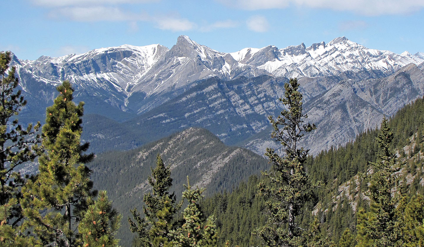
Mount Fable sits tall in the centre above Exshaw Ridge and McConnell Point. On the right are Little Mythic, Epic and Mythic Towers; and Mount Townsend (mouse over for a close-up)
Yates Mountain is between the trees on the left
Starting down the side ridge
Partway down the side ridge
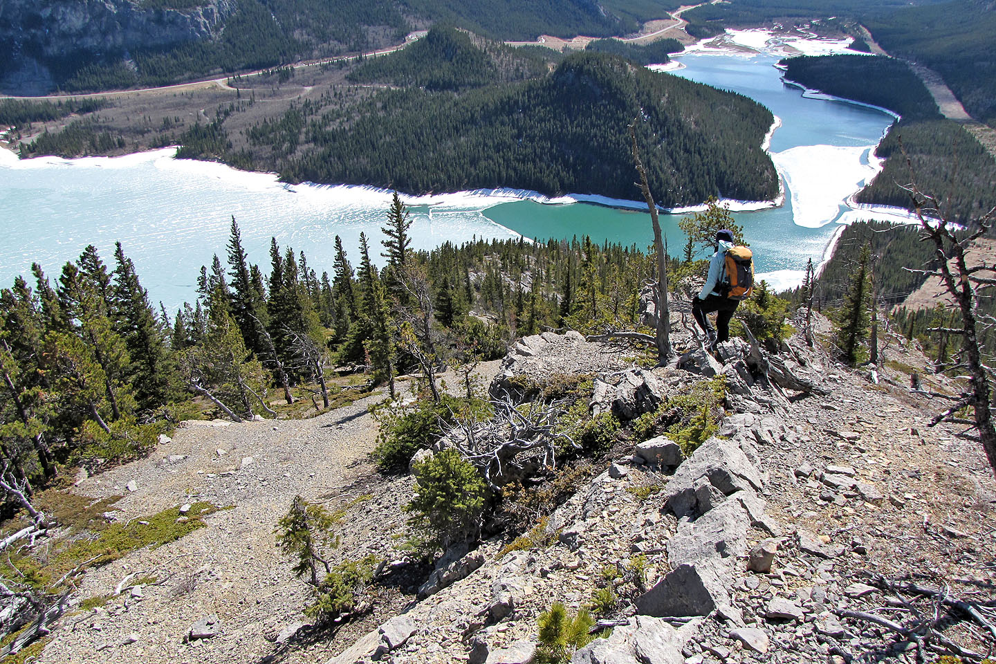
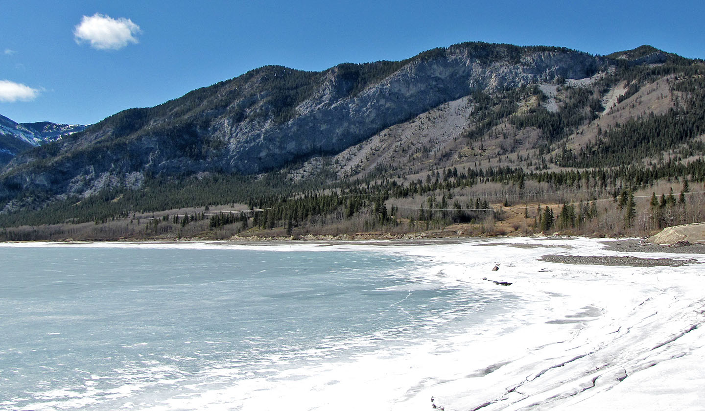
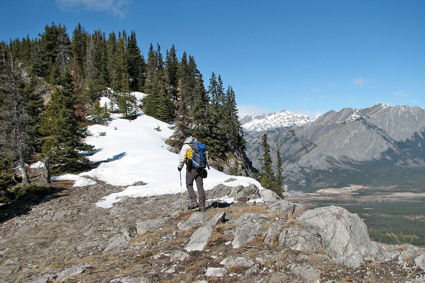
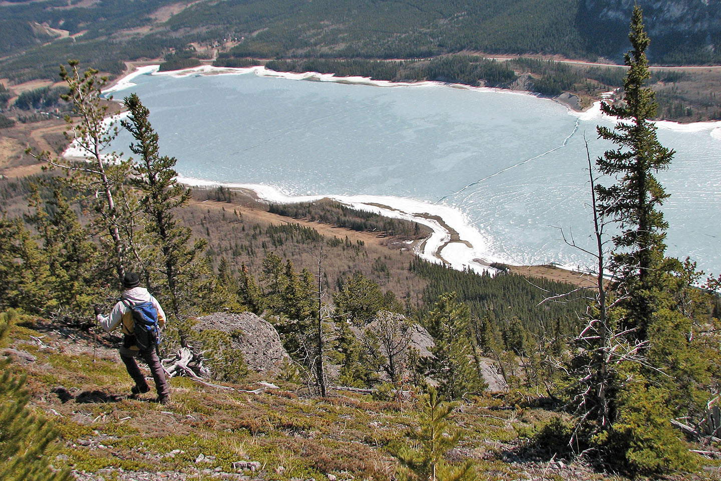
Barrier Lake below
We started down from the treed area left on the skyline
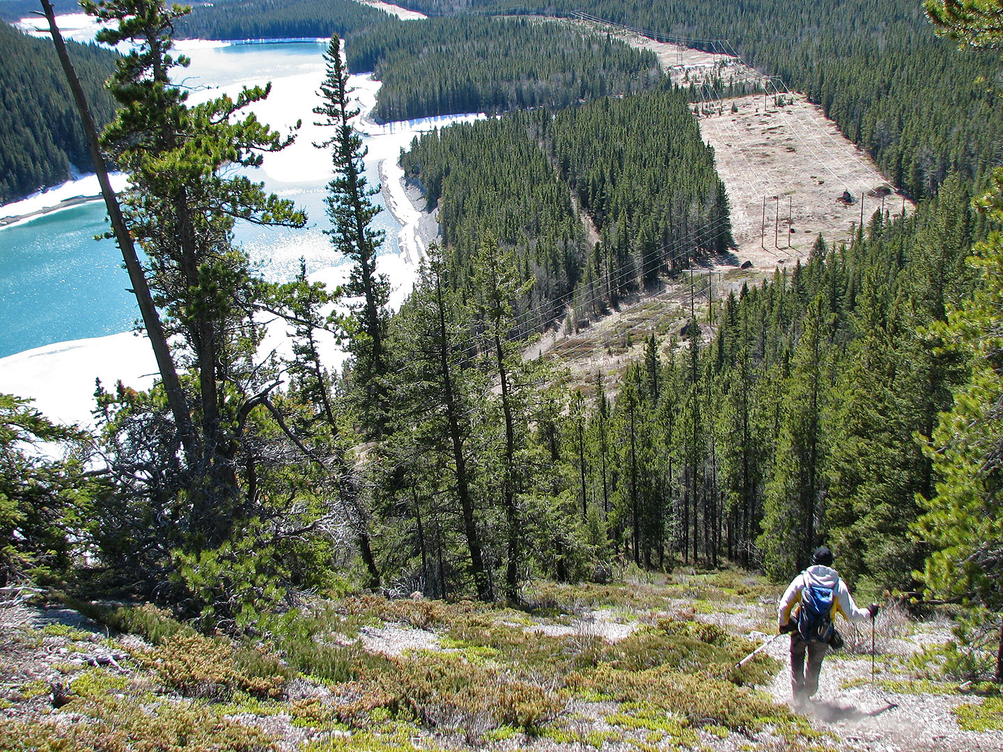
Near the end of the ridge, we found a trail that took us all the way down to the powerline road
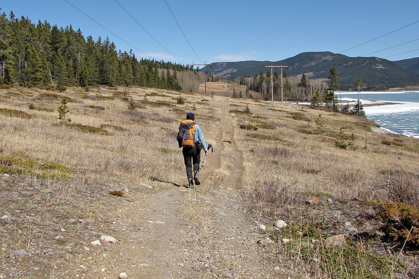
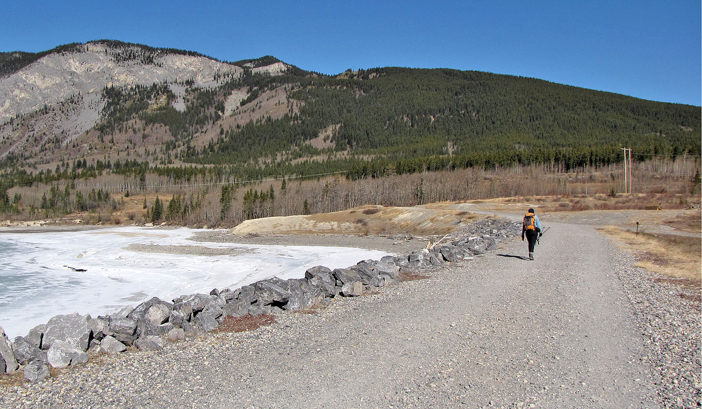
Hiking back on the powerline access road
82 O/3 Canmore
Canada | Home