bobspirko.ca | Home | Canada Trips | US Trips | Hiking | Snowshoeing | MAP | About
Ramp Peak
Banff National Park, Alberta
August 18, 2012
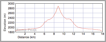
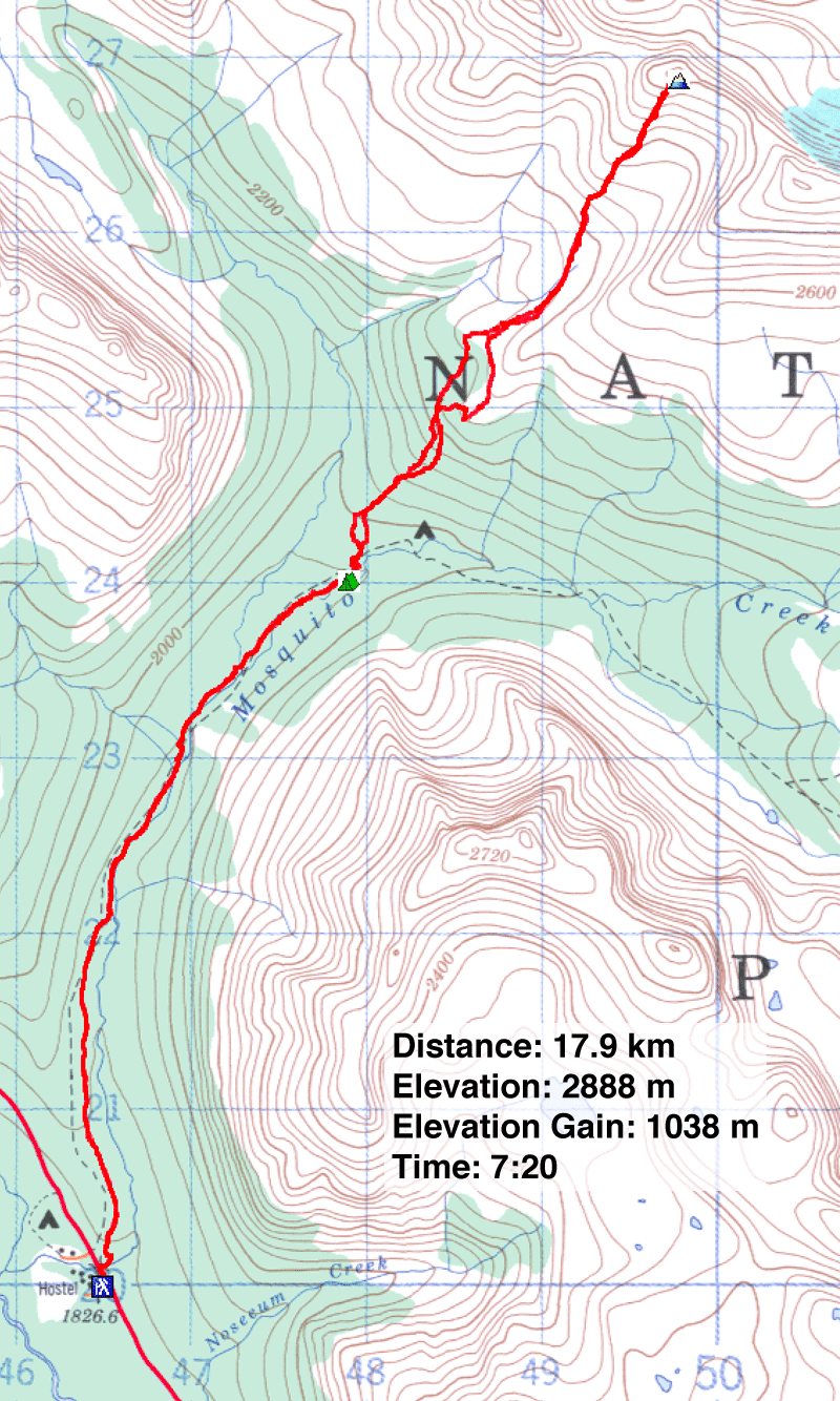
Distance: 17.9 km (11.1 mi)
Cumulative Elevation Gain: 1066 m (3497 ft)
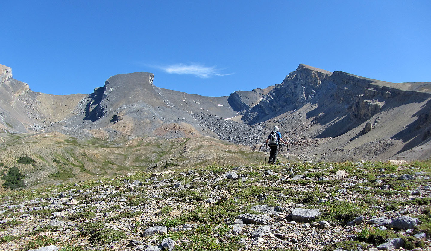
Of the triumvirate of peaks rising above the headwaters of Mosquito Creek, Dinah and I had only climbed Mosquito Mountain. Four years have passed, and we were ready to ascend the next peak in line: Ramp Peak.
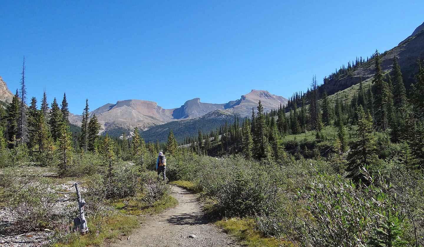
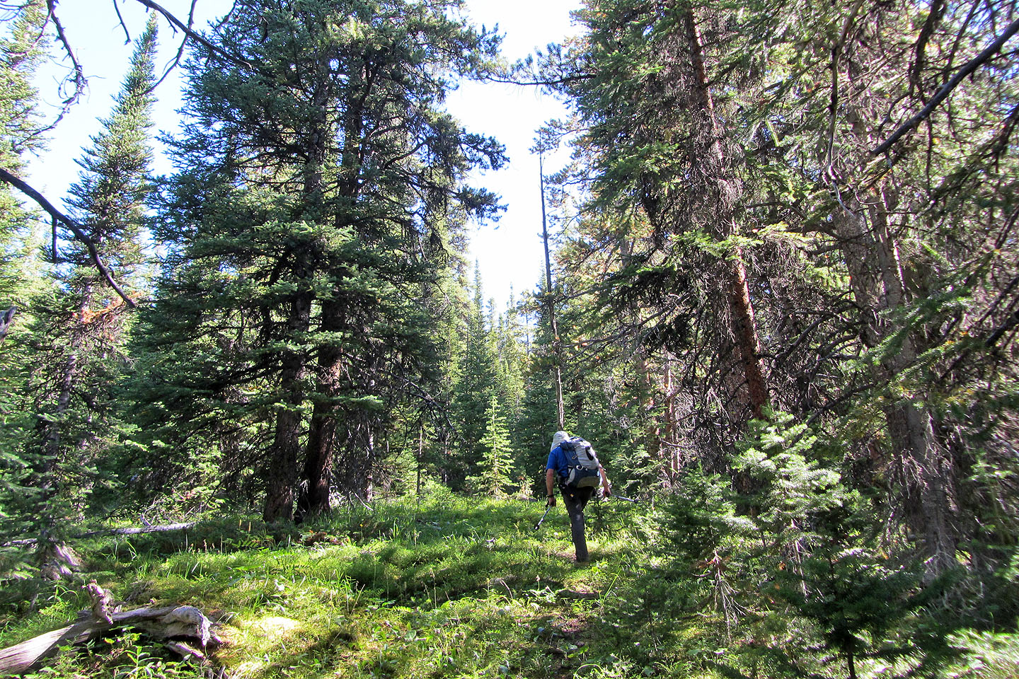
We parked at the Mosquito Creek Campground and hiked to the backcountry campground an hour away. I had hoped to find a trail at the back of the campground to start us off, but we had no such luck. We started hiking offtrail, easily bushwhacking. We angled left (north) since going straight up would place us on the impossibly steep slope below the south end of Mosquito Mountain. Ten minutes after leaving the campground, we found a faint animal trail (480244). It ended after 300 m, but it set us in the right direction (when I saw a talus slope above the treetops, we veered left a bit). We soon arrived at the end of a spur leading to the south end of Mosquito on our right.
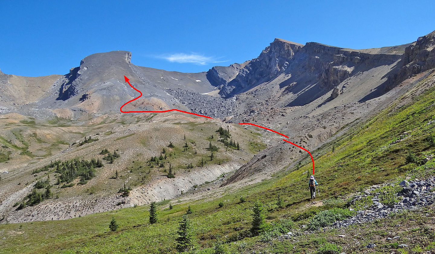
Ramp Peak lay ahead, but a bowl and another spur intervened. We could reach this spur directly by dropping down to the bowl, or we could take a longer route by ascending the end of Mosquito and traversing to the intervening spur. We learned that both routes work well. On the ascent we used the bowl, but after summiting we took in the south end of Mosquito. (If I were to do Mosquito Mountain again, I would use this route. Routefinding and bushwhacking seemed easier.)
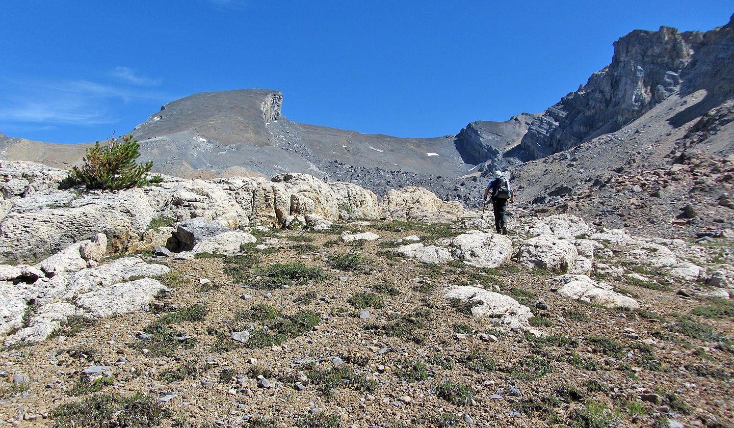
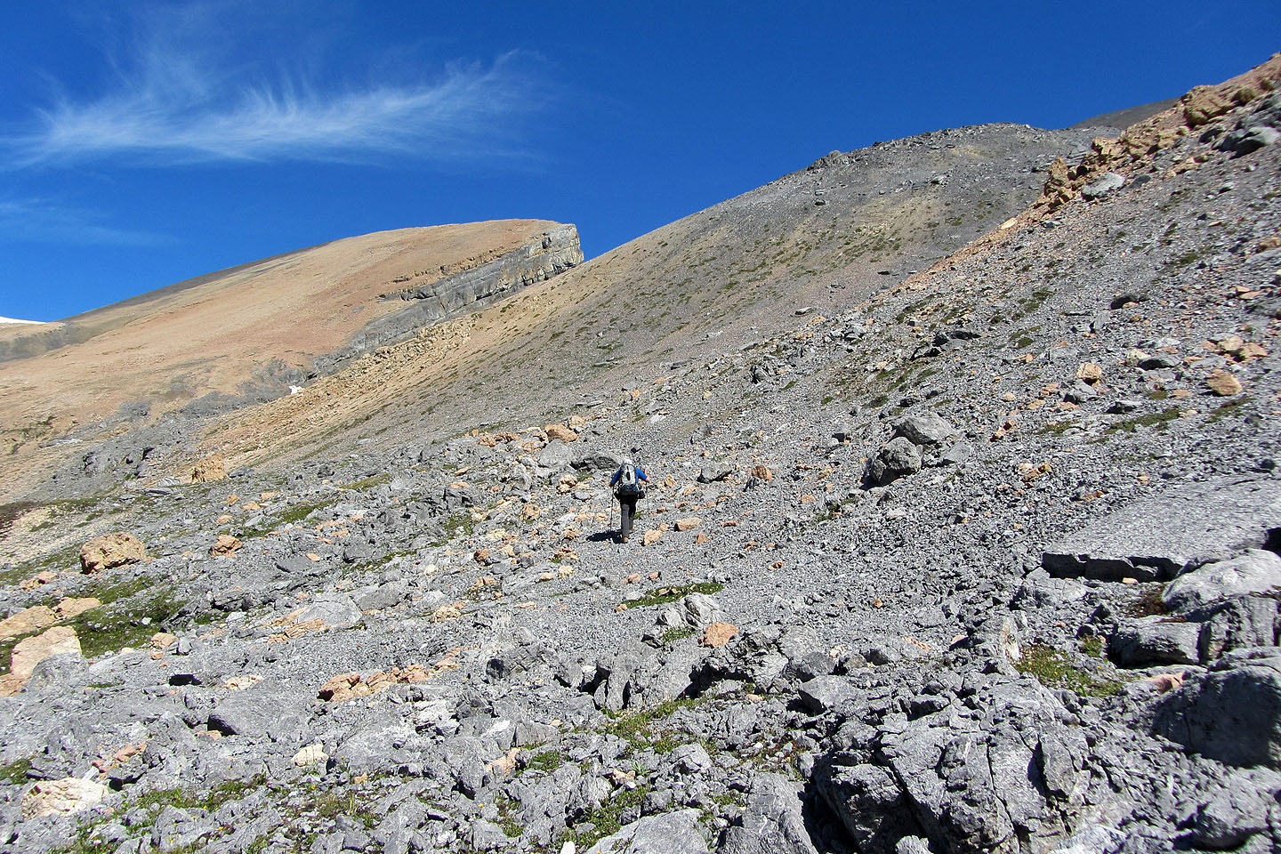
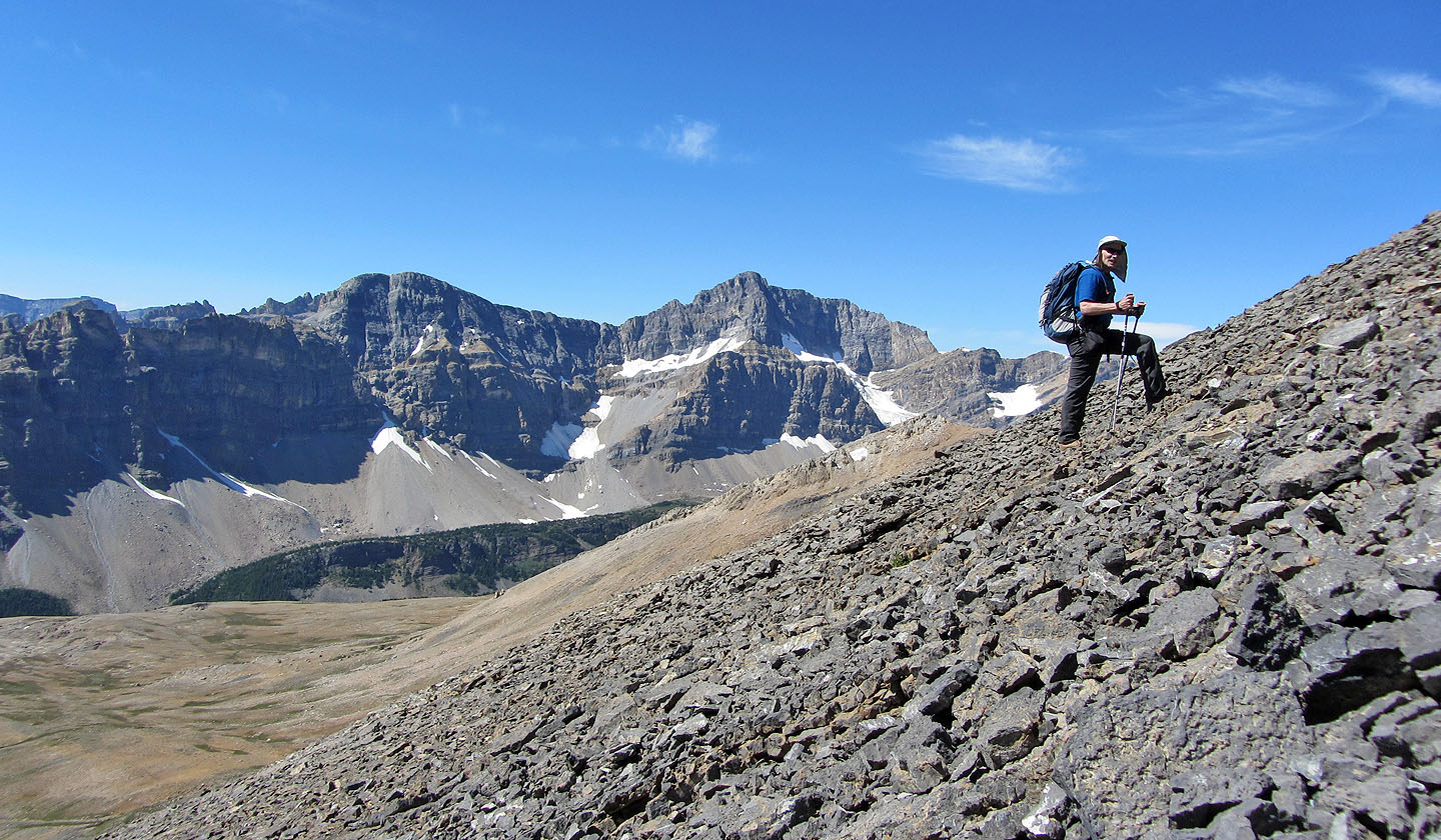
Routefinding didn't improve after we reached the intervening spur. Below us a deep drainage and a tract of lumpy alpine meadow dissuaded us from going directly to Ramp. So we kept right to minimize elevation loss and made our way to the base of our objective. To avoid climbing a steep slope at the base, we went left and easily hiked up a gully hidden around the corner.
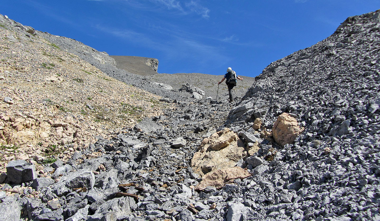
At the top of the gully, we encountered a mountain goat and scree that extended all the way to the summit. The goat left but the scree stayed. So we plodded up 250 m to the summit.
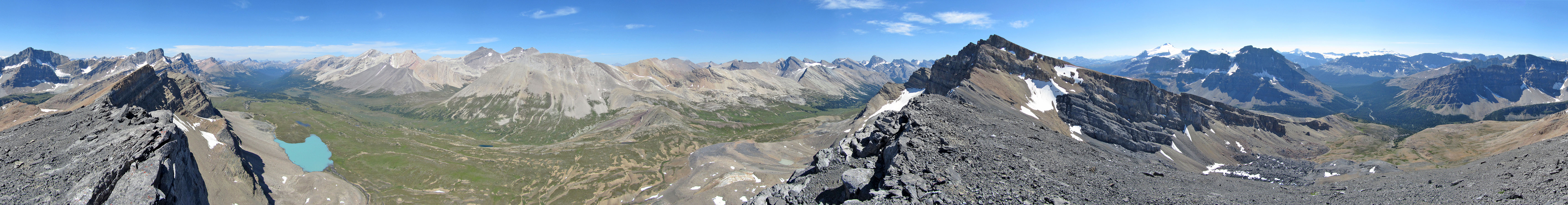
We stayed for half an hour on top of Ramp Peak, enjoying the alpine scenery and warm weather before heading back. As I mentioned, we returned via the south end of Mosquito. By doing so we caught a superb view of the Mosquito Creek triumvirate. Four years hence, we should be ready and willing to ascend the third peak: Quartzite Peak.
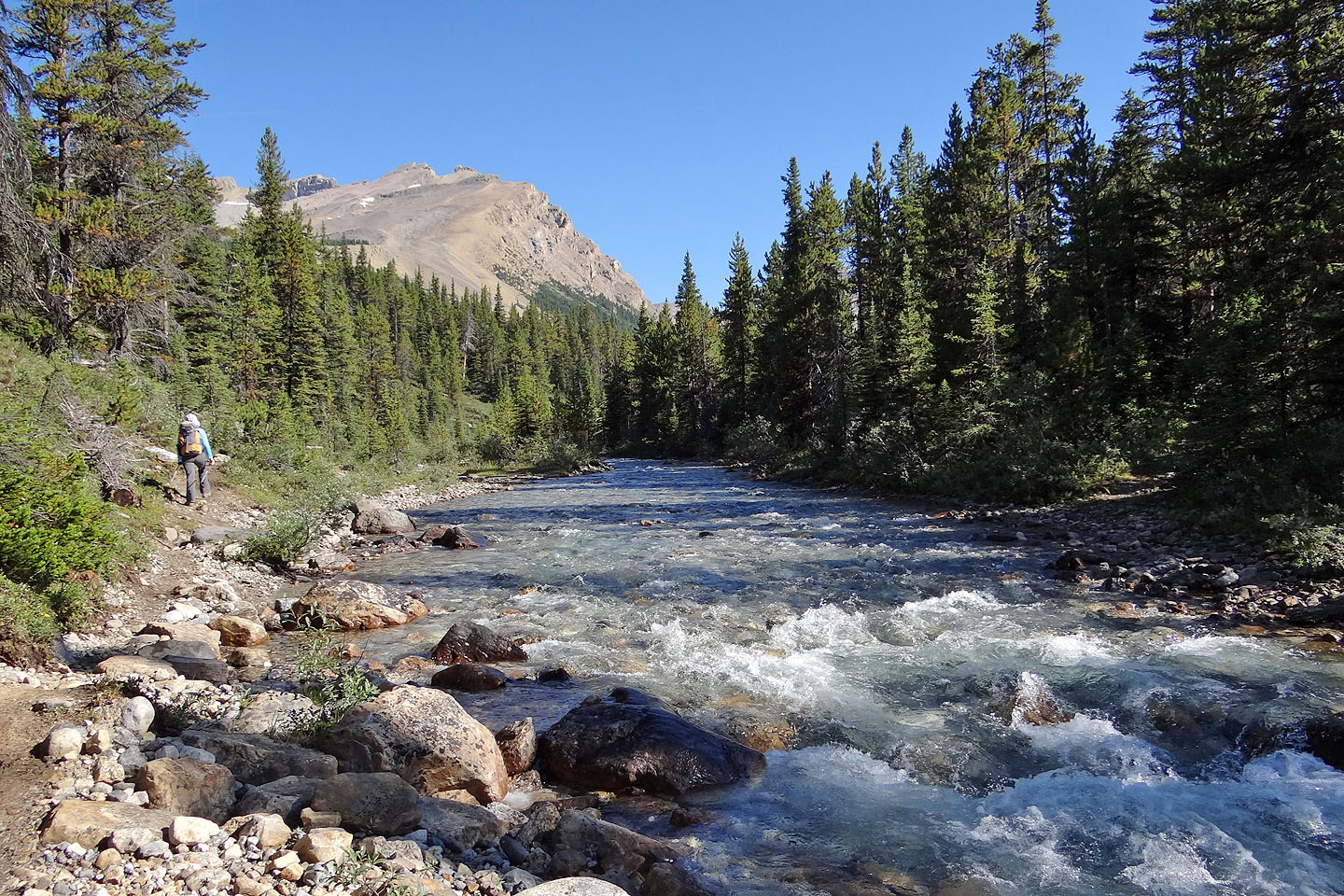
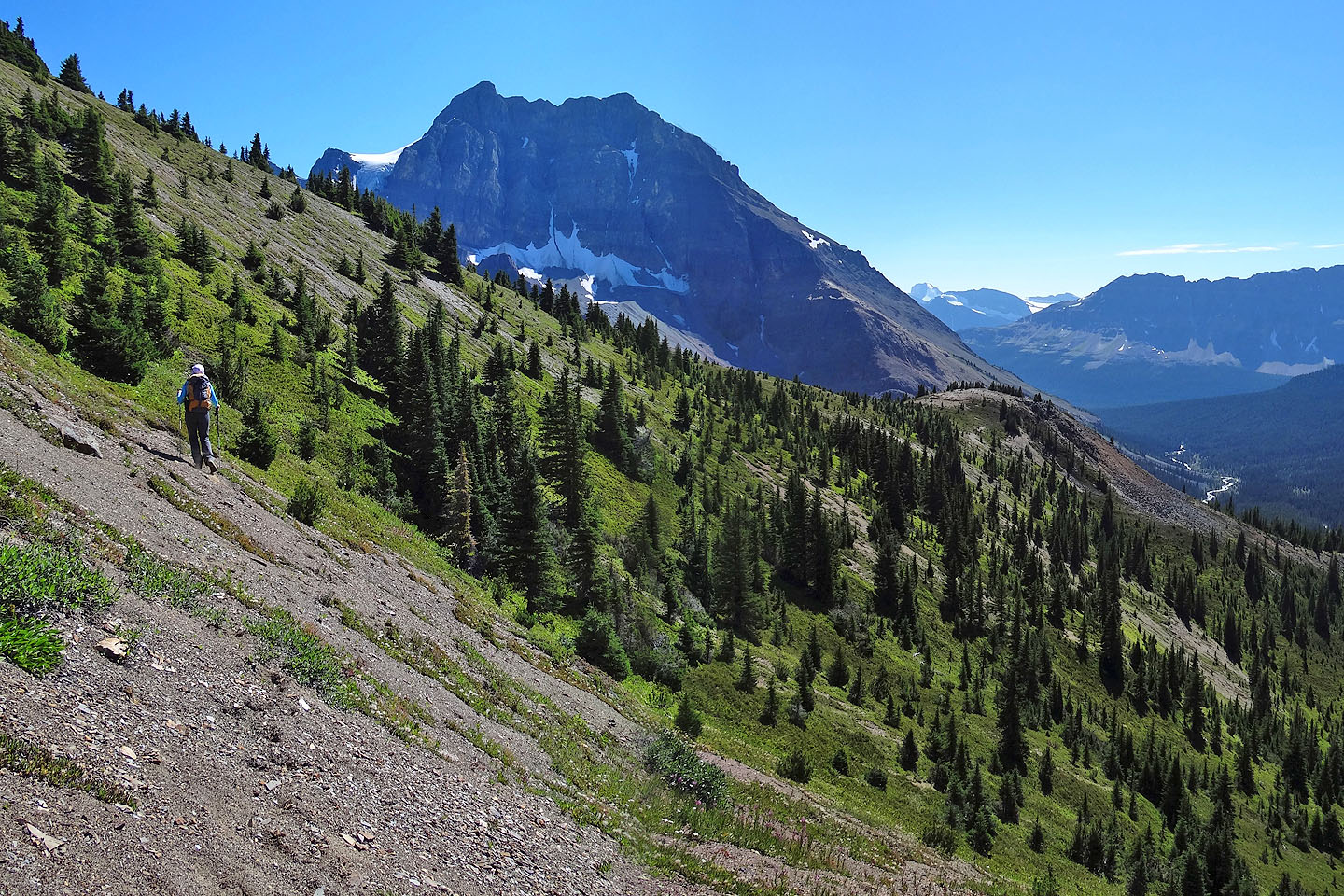
Hiking alongside Mosquito Creek
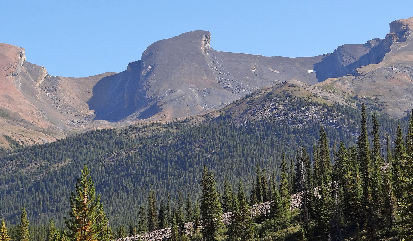
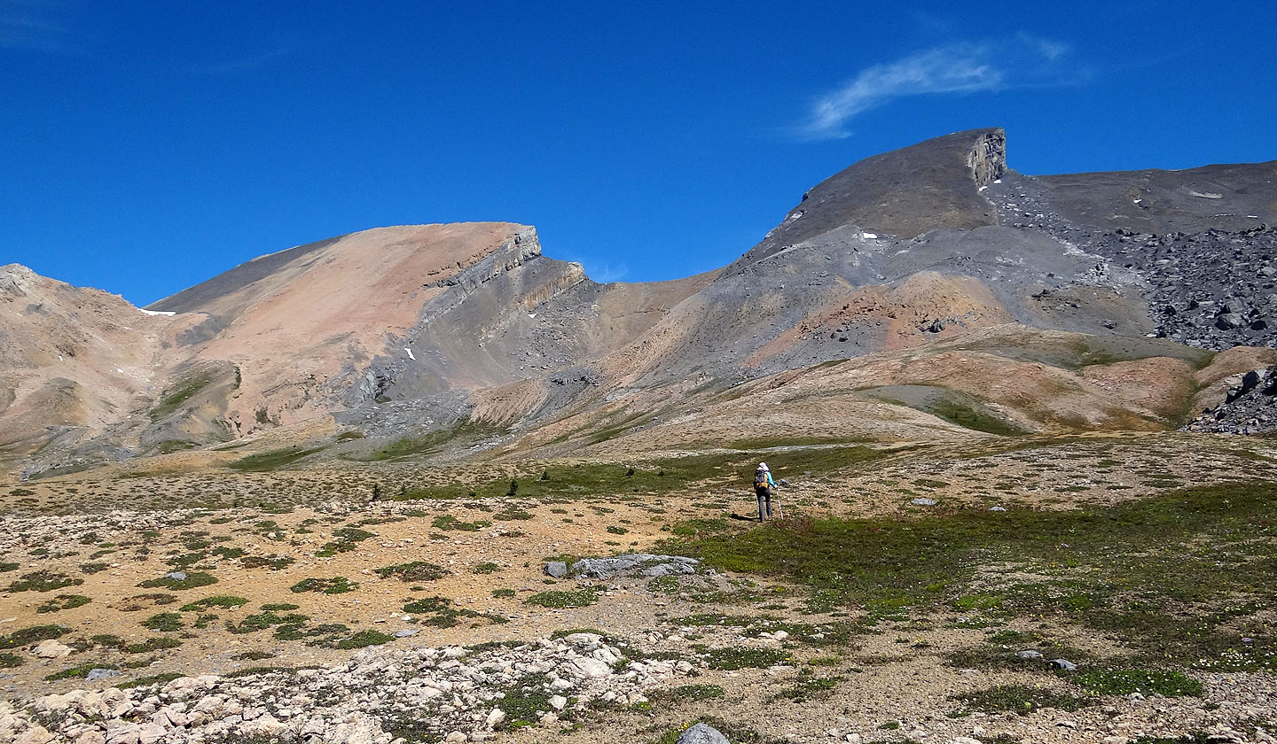
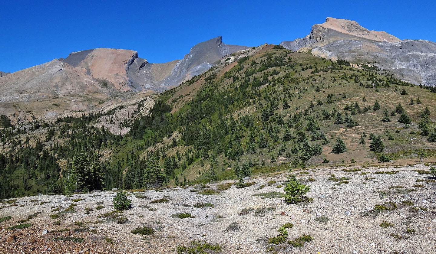
Quartzite Peak, Ramp Peak and Mosquito Mountain
A close-up of Ramp Peak and the south end of Mosquito
Following the animal trail
From here we dropped down and climbed the spur ahead. The elevation loss wasn't as bad as it looks.
By going left we avoided dropping to the bottom of the bowl.
Ascending right leads to the south end of Mosquito.
Looking back at the south end of Mosquito and the bowl
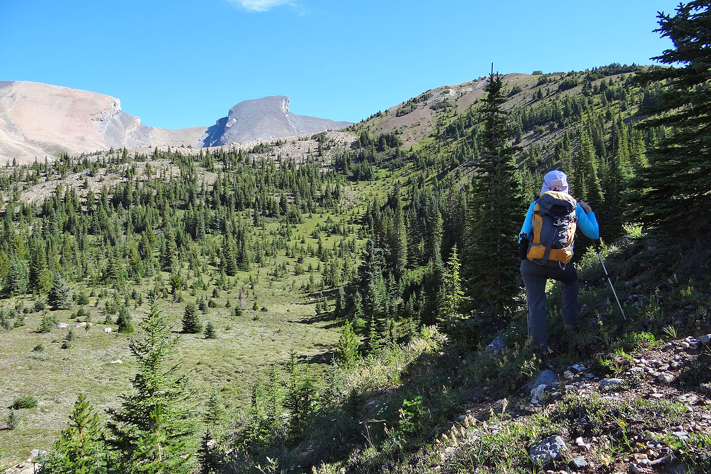
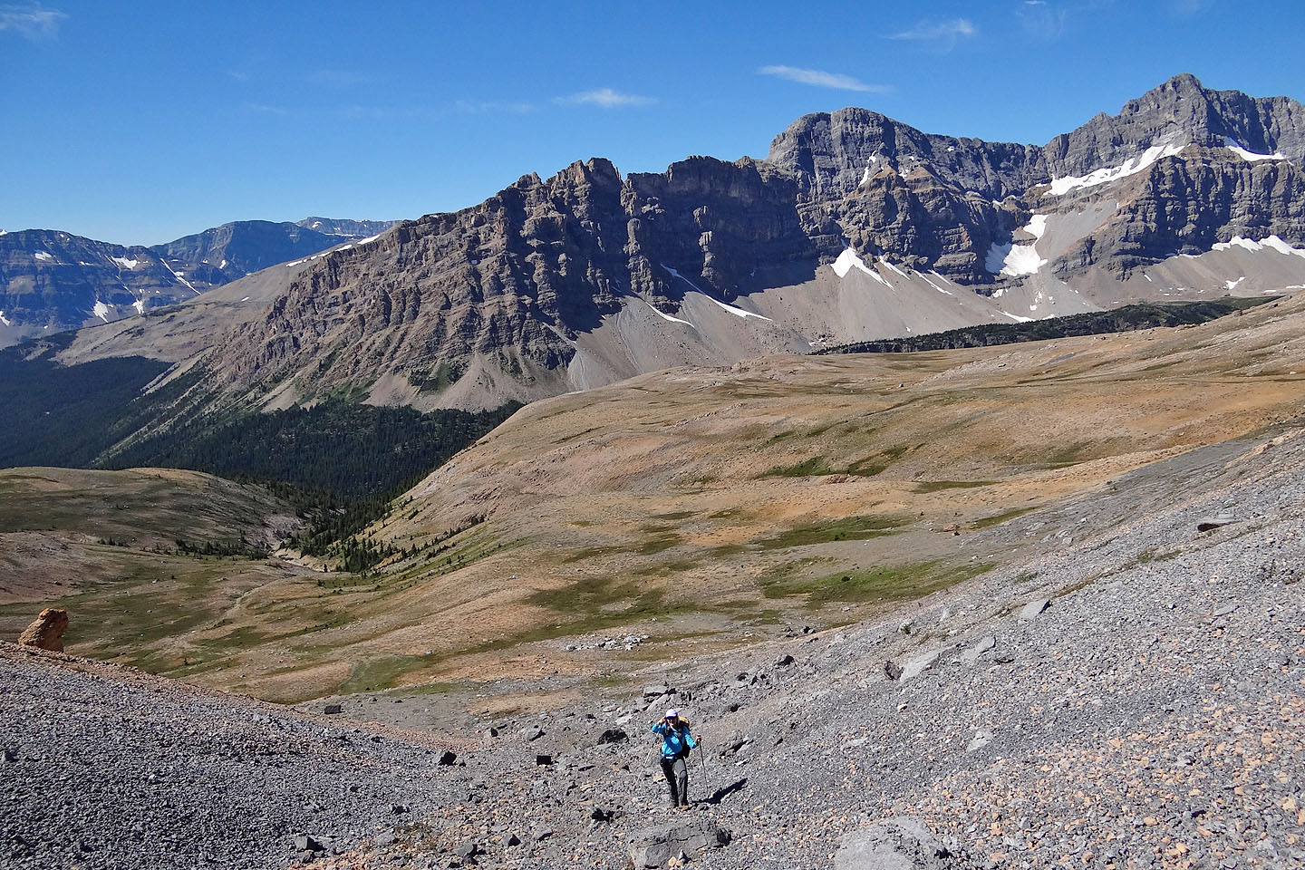
View from the intervening spur
To avoid the drainage we kept right
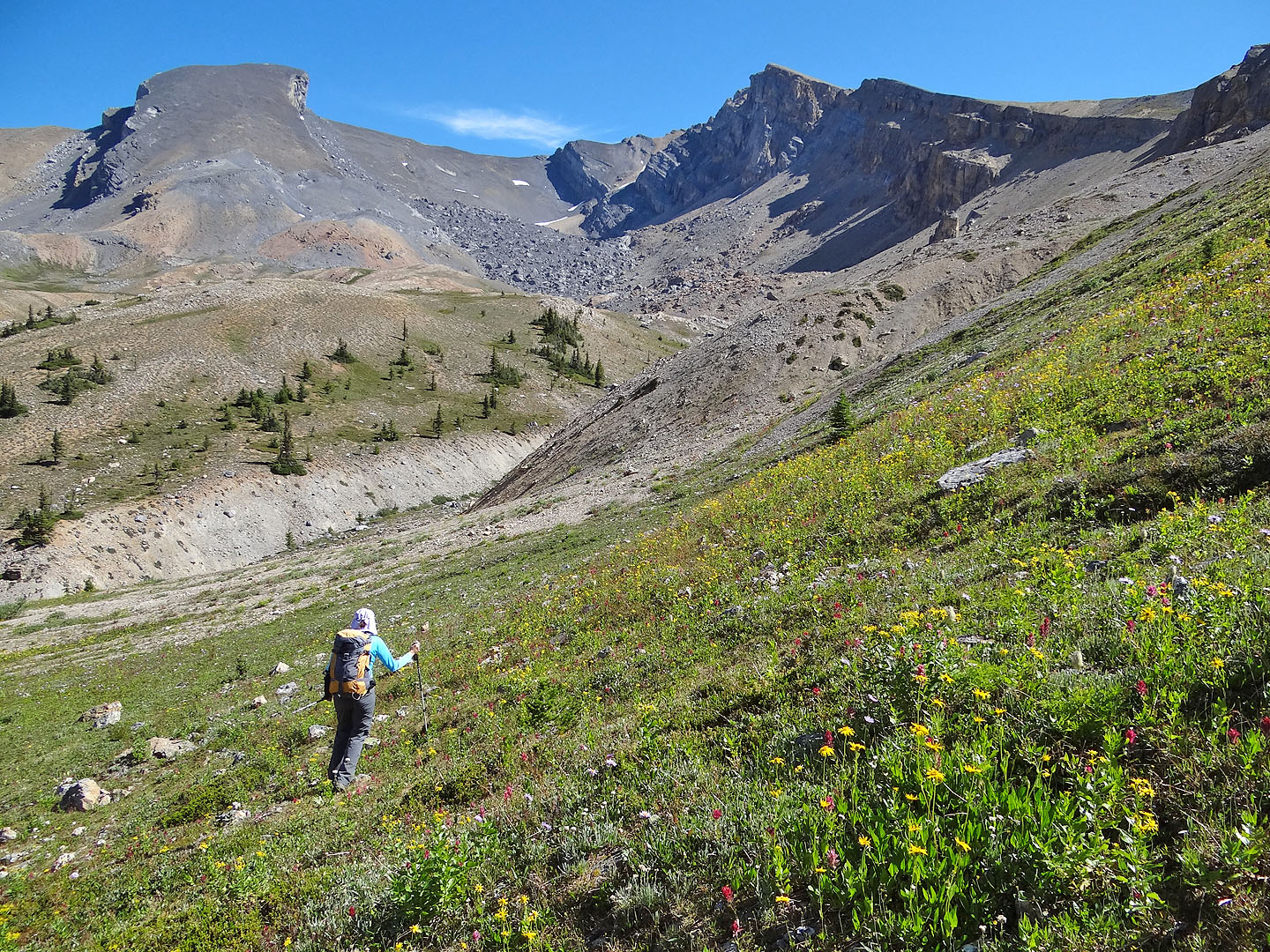
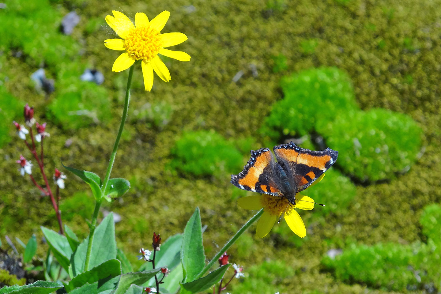
Along the way we passed a profusion of wildflowers
Dropping down to the drainage
We crossed pale rocks
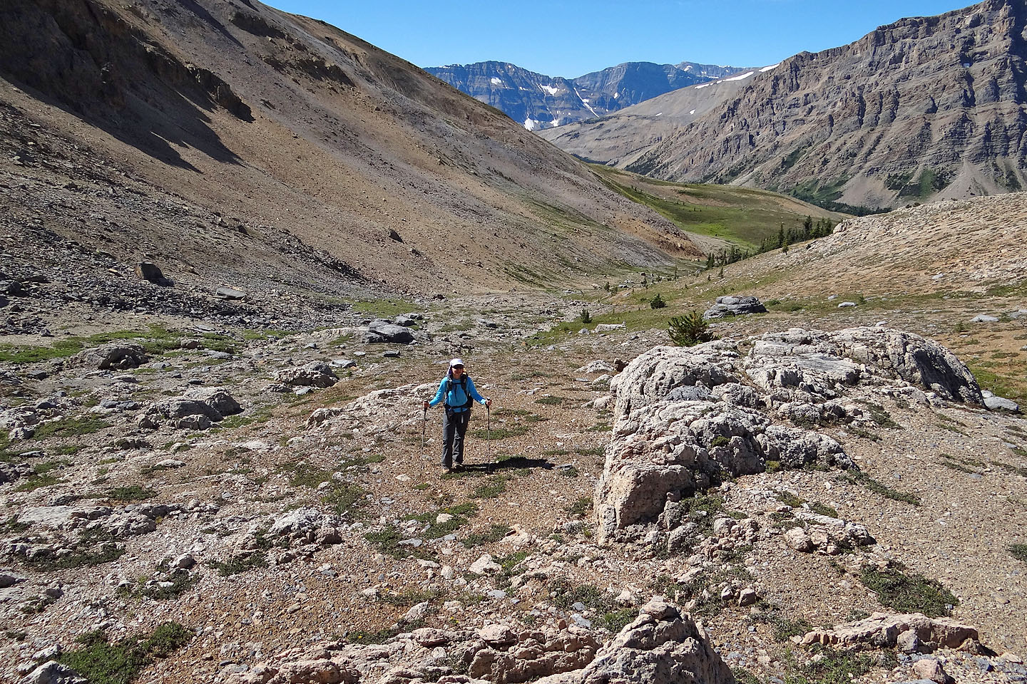
Looking back at the slopes we traversed
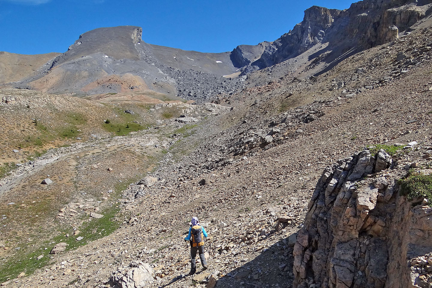
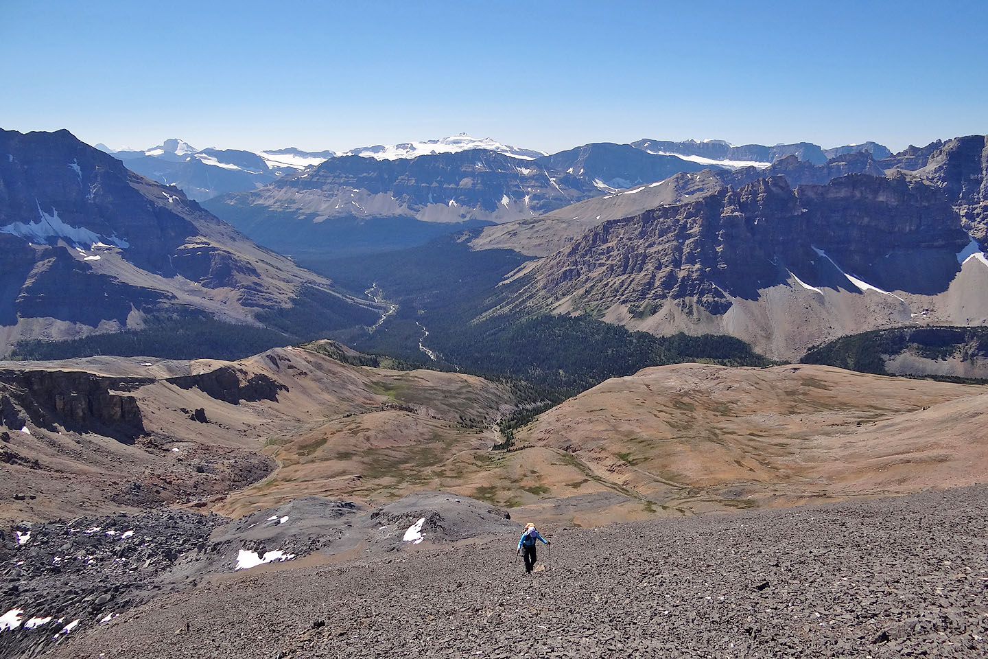
At the end of the meadows we kept left to ascend a hidden gully below Ramp Peak
Amid the gray and brown rocks, a small spring brings a touch of color
Making our way to the gully
Looking back after we started up the gully
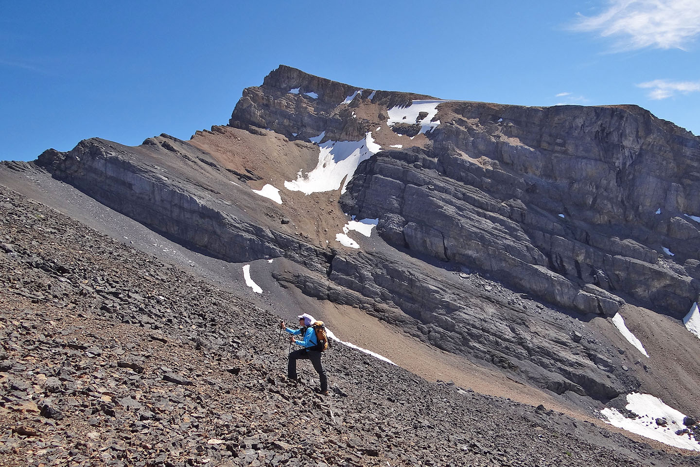
Partway up, Ramp's summit came into view
Another look back
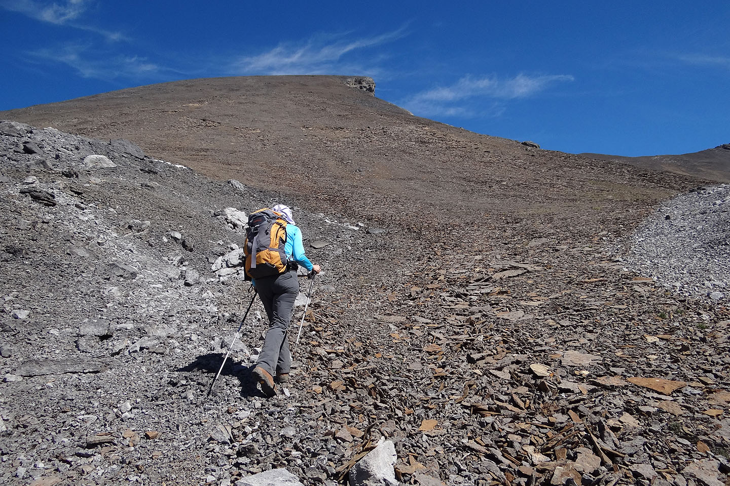
At the top of the gully we saw a mountain of scree
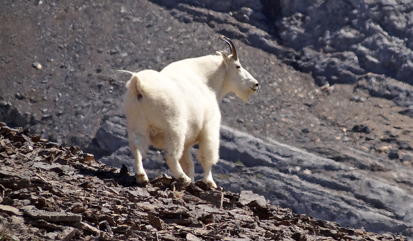
We also saw this mountain goat less than 100 m away. It calmly ambled away.
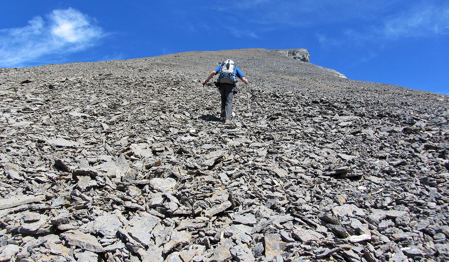
The uninspiring plod to the top of Ramp Peak
Mosquito Mountain on our right
Left is an unnamed ridge southwest of Watermelon Peak
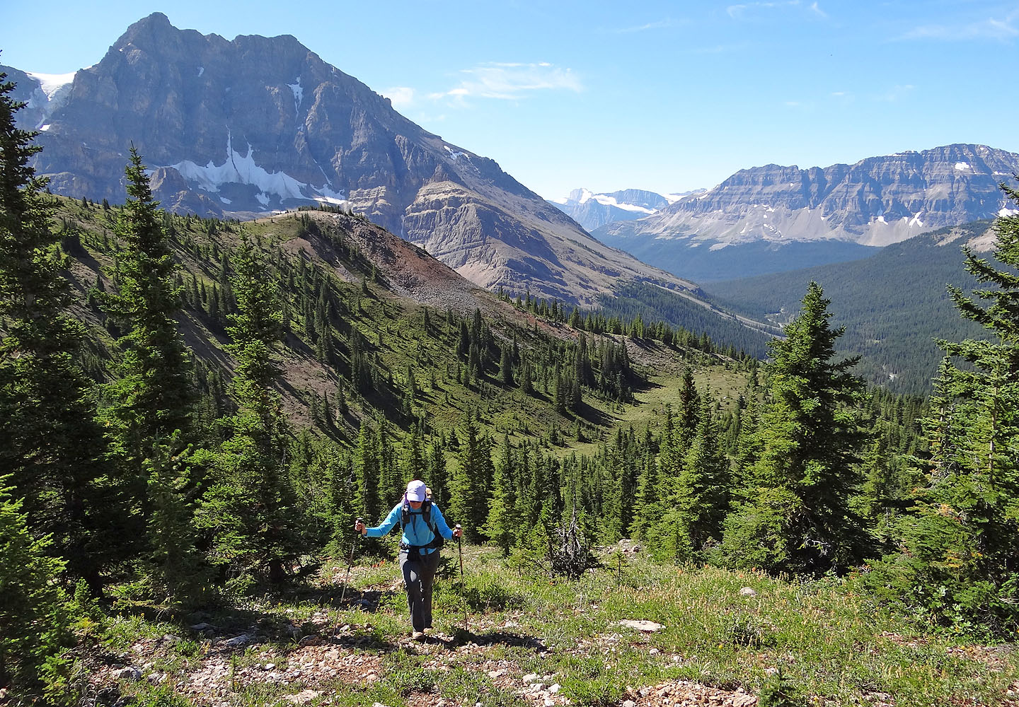
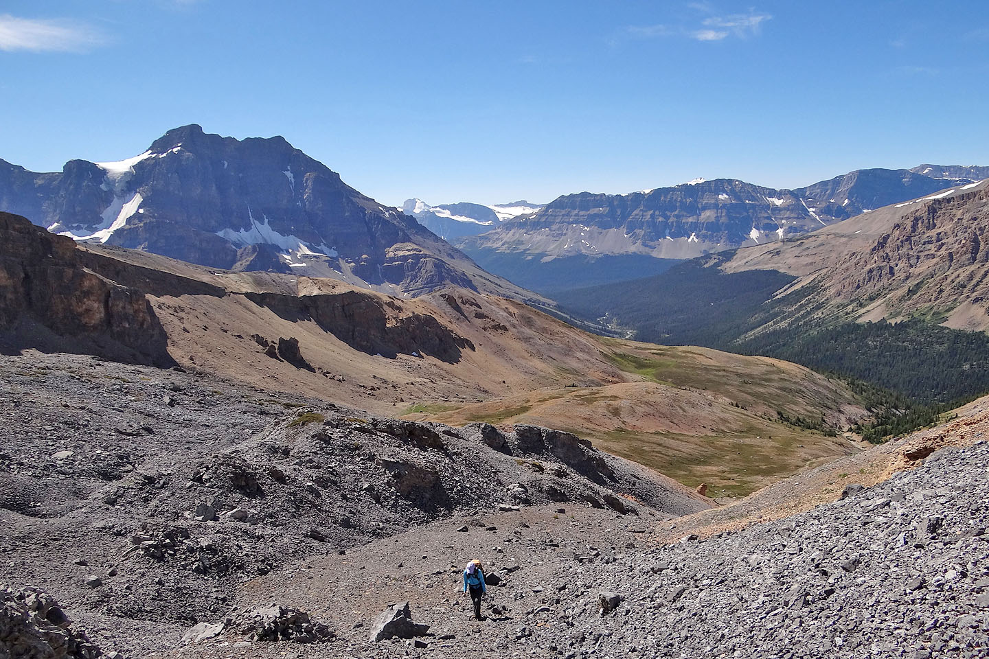
Looking back
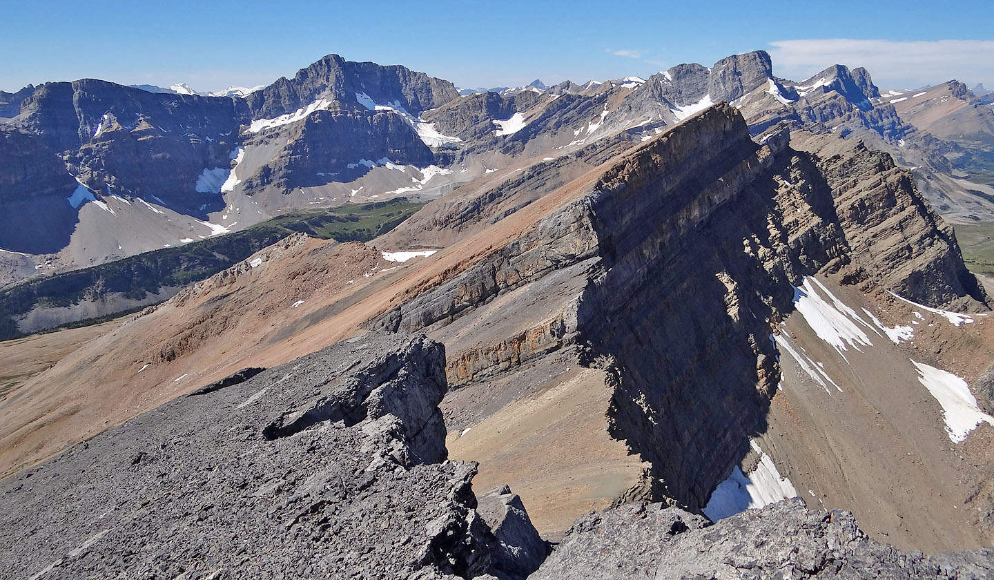
Mount Hector, Mount Andromache and Noseeum Peak (mouse over for a close-up of Hector)
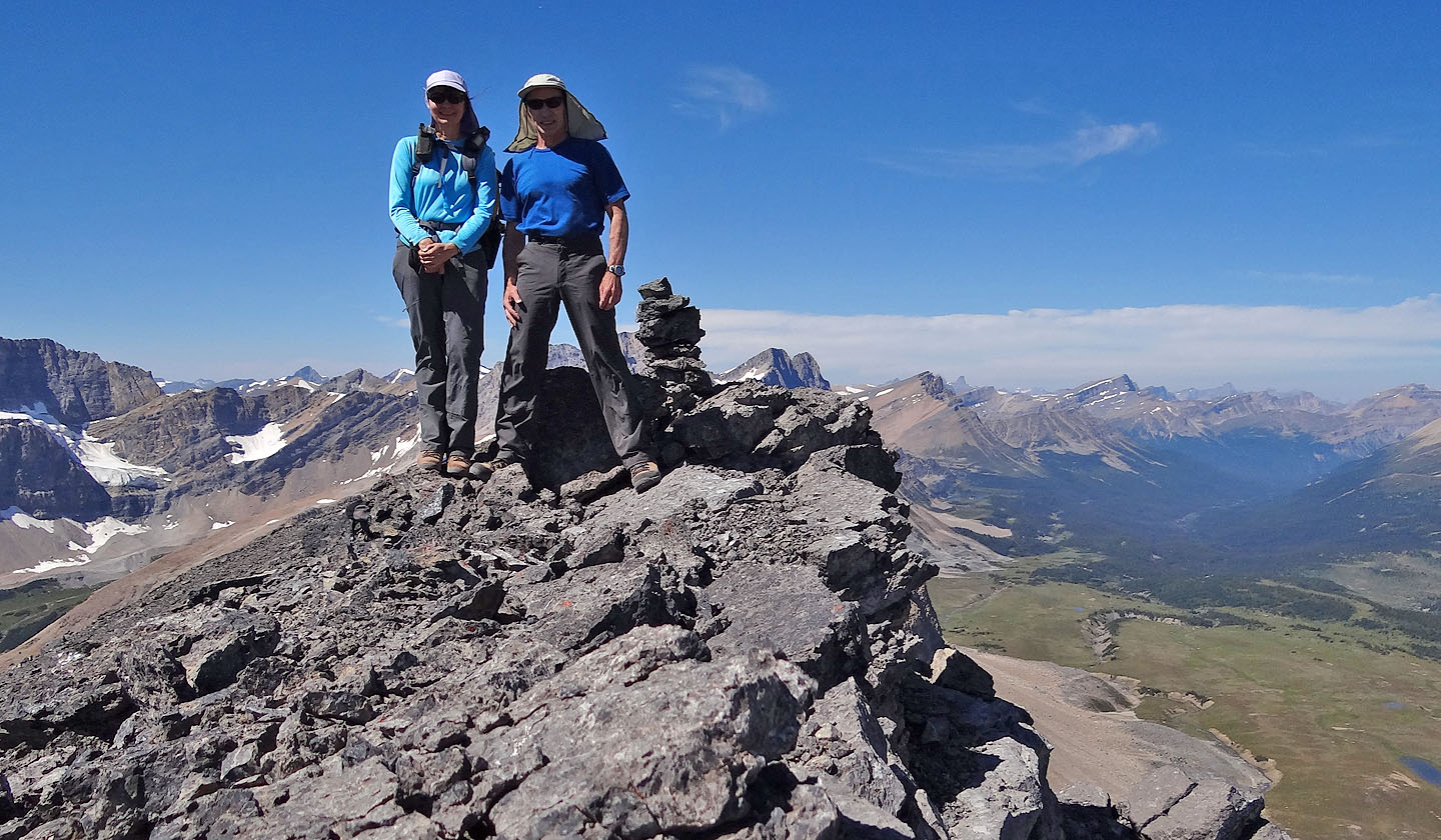
On the summit
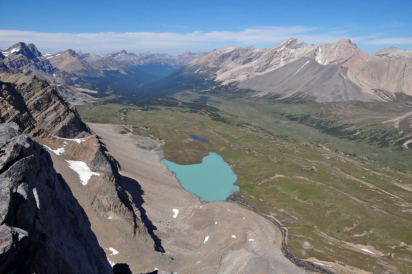
Pipestone Pass below
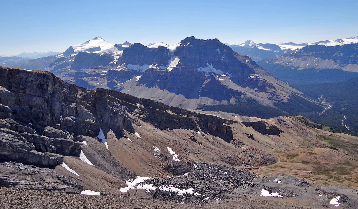
Quartzite Peak is close by
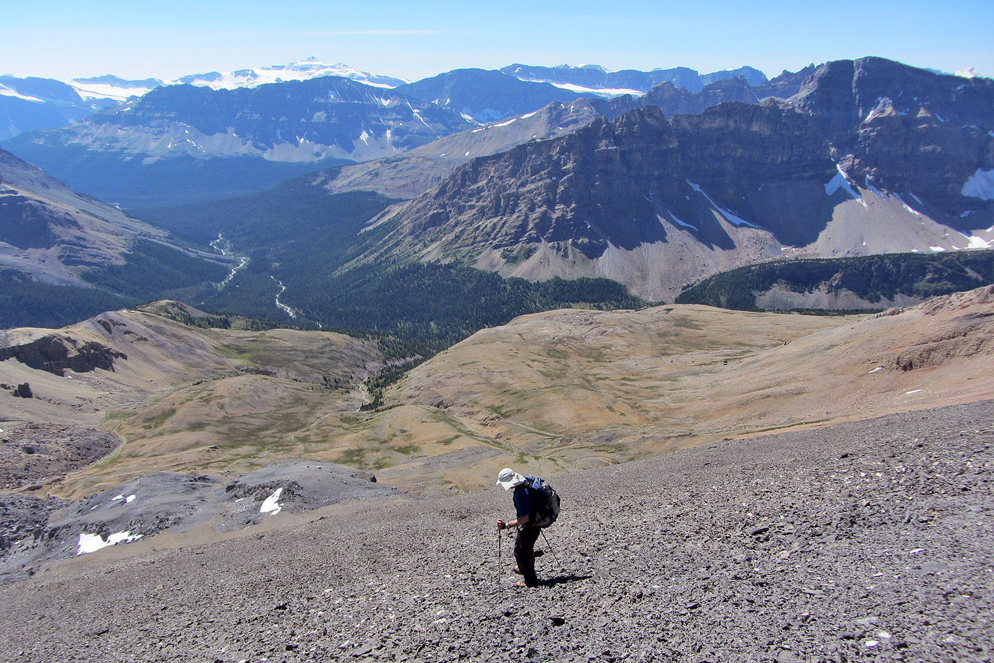
Heading back down
On the way back, instead of dropping to the bowl we traversed to the bump at the end of Mosquito (right)
View of Quartzite, Ramp and Mosquito from the south end of Mosquito
82 N/9 Hector Lake