bobspirko.ca | Home | Canada Trips | US Trips | Hiking | Snowshoeing | MAP | About
Big Bend Peak
Banff National Park, Alberta
August 4, 2018
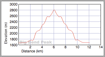
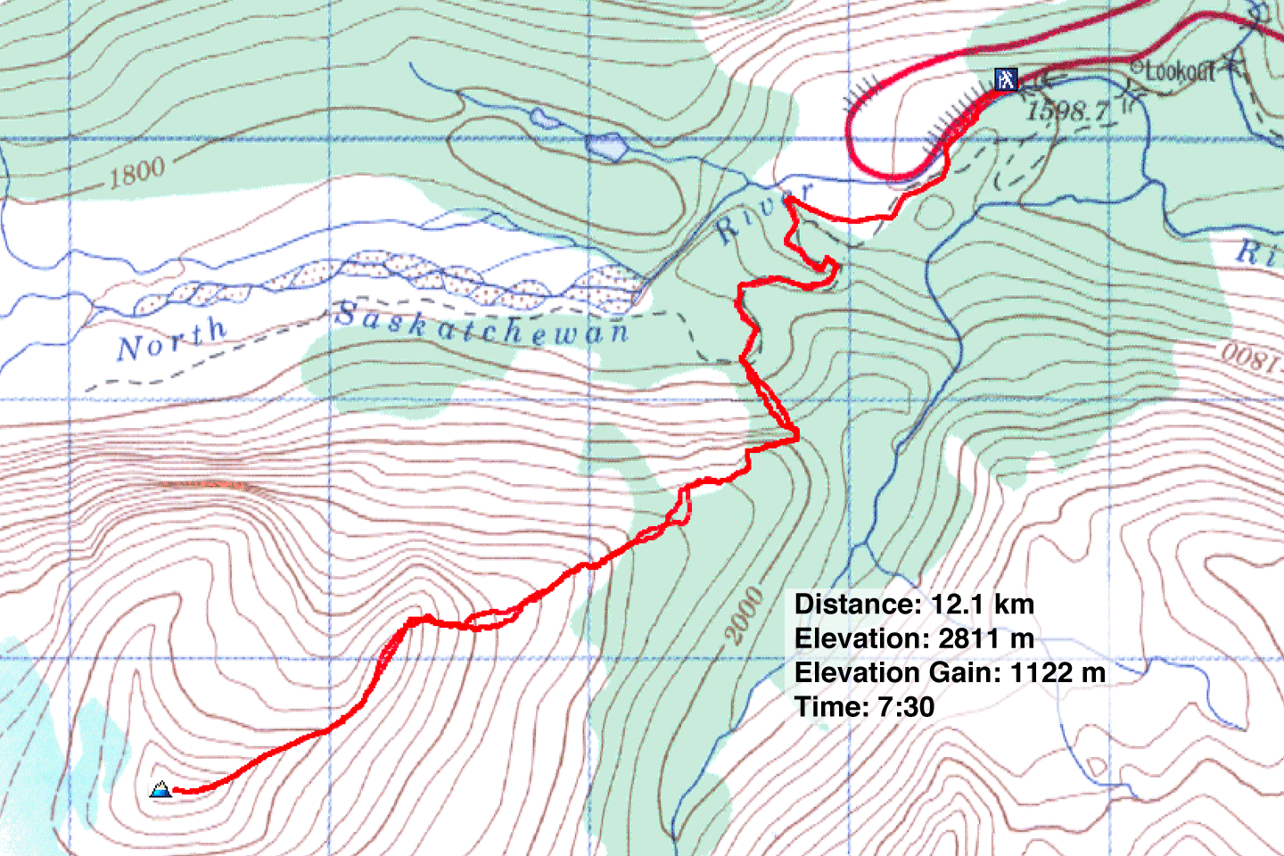
Distance: 12.1 km (7.5 mi)
Cumulative Elevation Gain: 1227 m (4026 ft)
Rising above a bend on the Icefields Parkway is a mountain of scree, Big Bend Peak. The climb begins on a good trail but becomes mostly an offtrail hike as it ascends the northeast ridge to the summit.
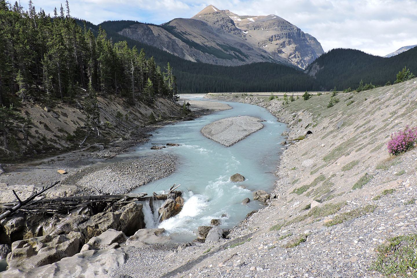
The trip involves some routefinding, and that includes finding the hidden trailhead. Driving north on Highway 93 North, it’s best to turn around in a parking lot at the bend and double back about a kilometre. Look for a short, dirt road on the right at the edge of trees. It goes down to a bridge over the North Saskatchewan River.
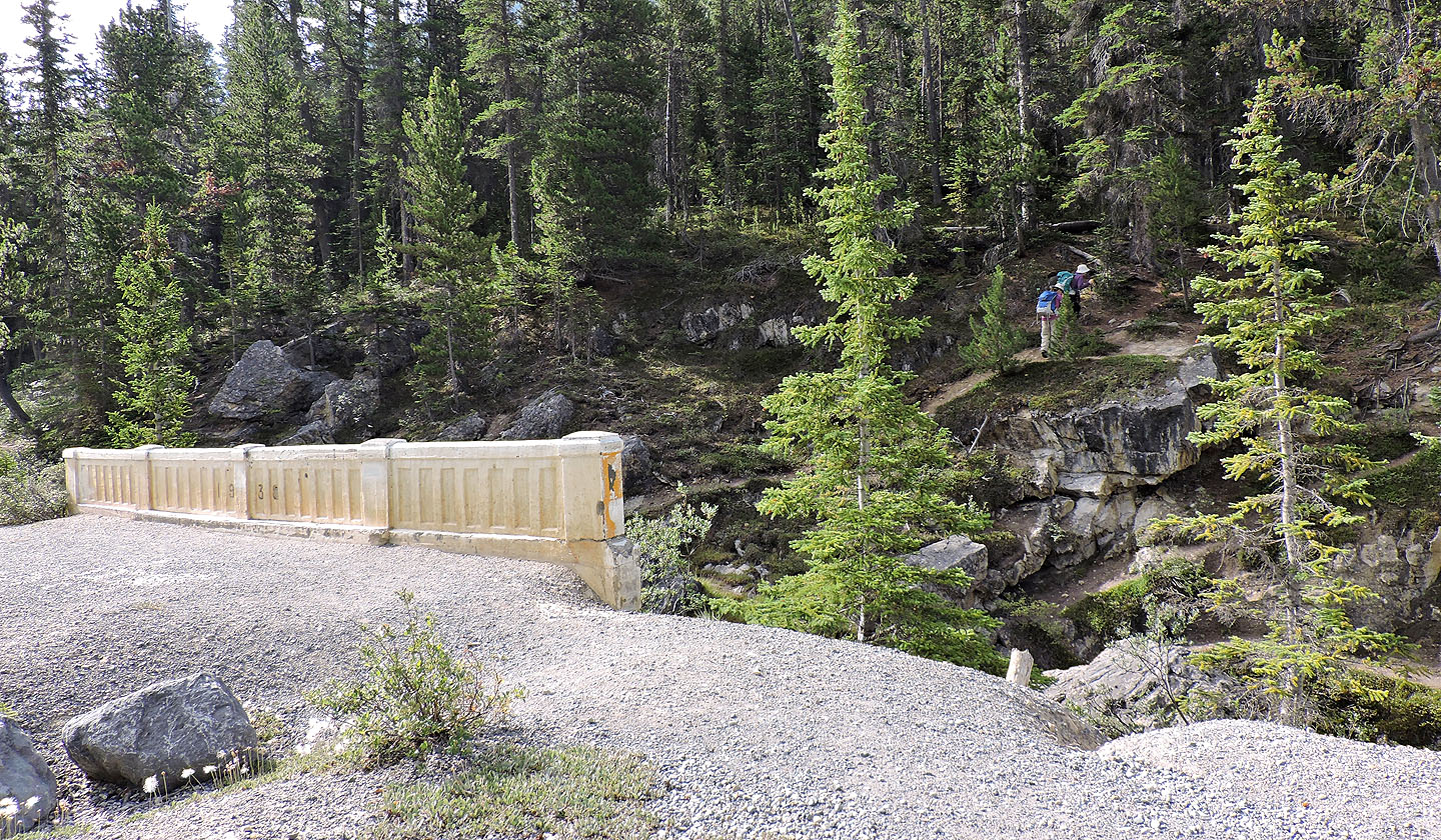
After parking and walking across the bridge, there are two trails to start from. The lower path, starting immediately after the bridge, drops down and disappears in the gravel flats lining the shore, but you can access the upper trail 400 m farther along at a low point. The upper trail, beginning another dozen metres after the bridge, runs high along the bank. Zora, Jonathan, Dinah and I started on the lower trail but finished the trip on the upper trail.
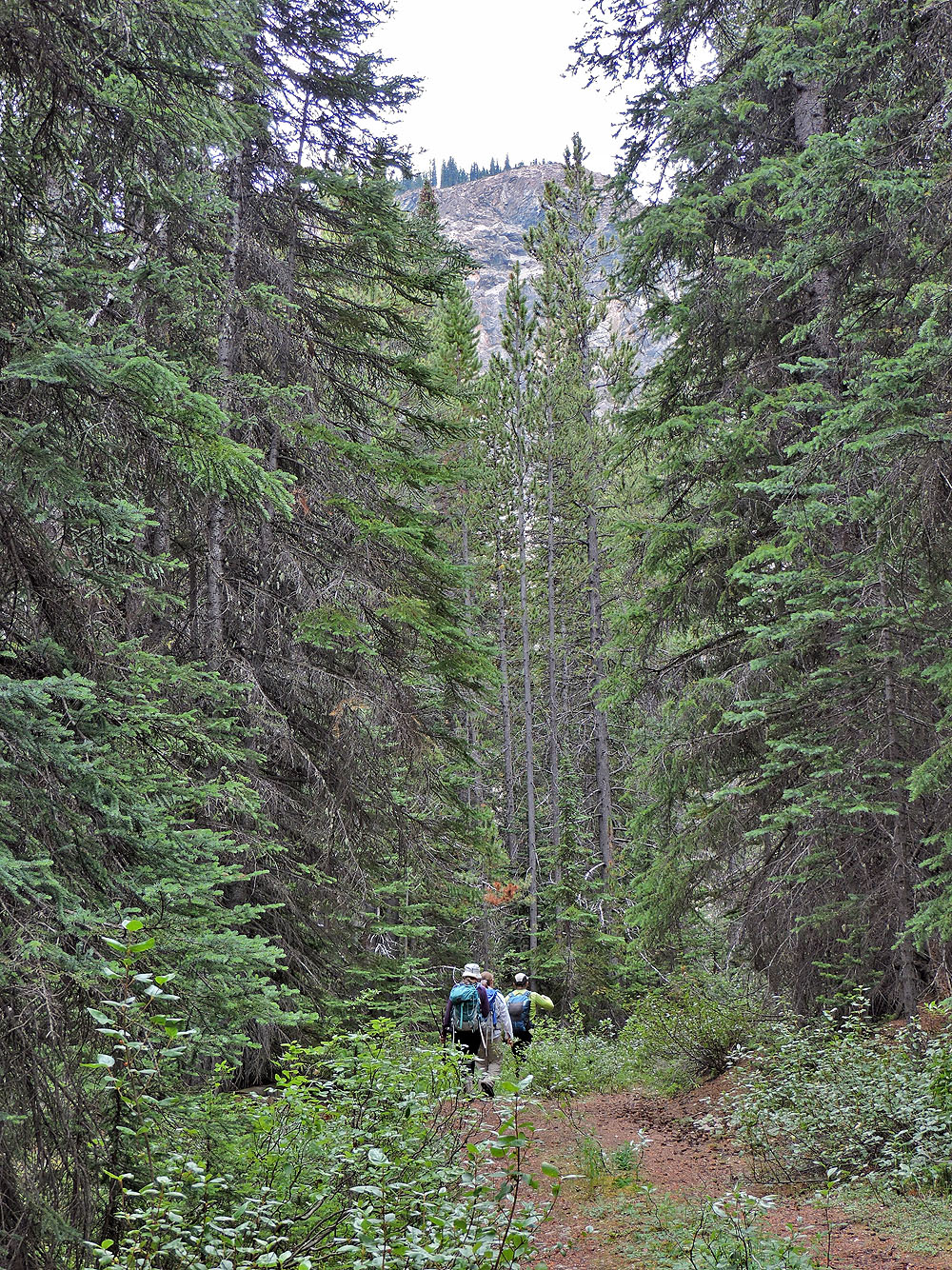
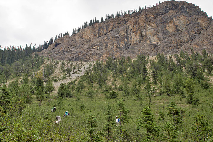
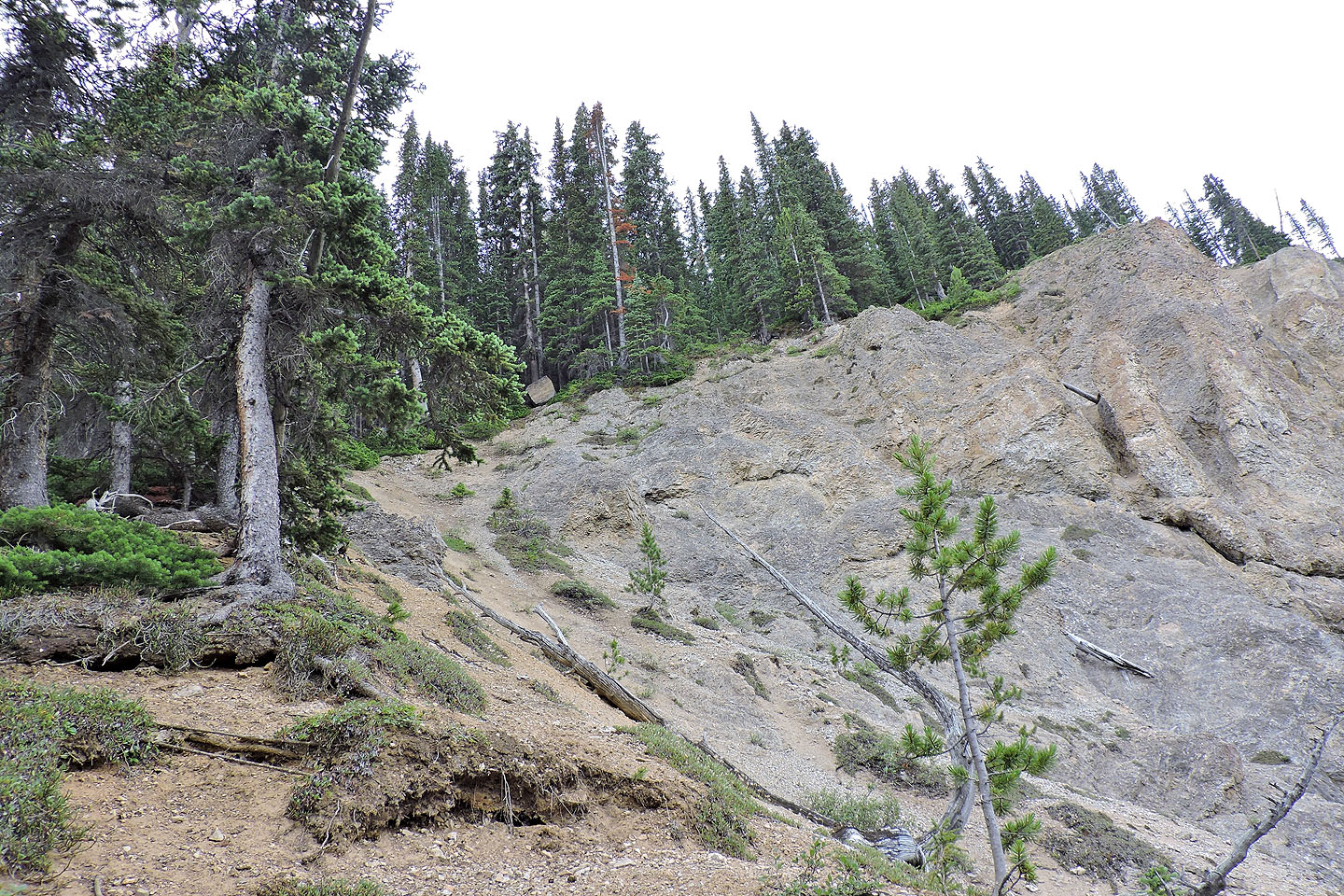
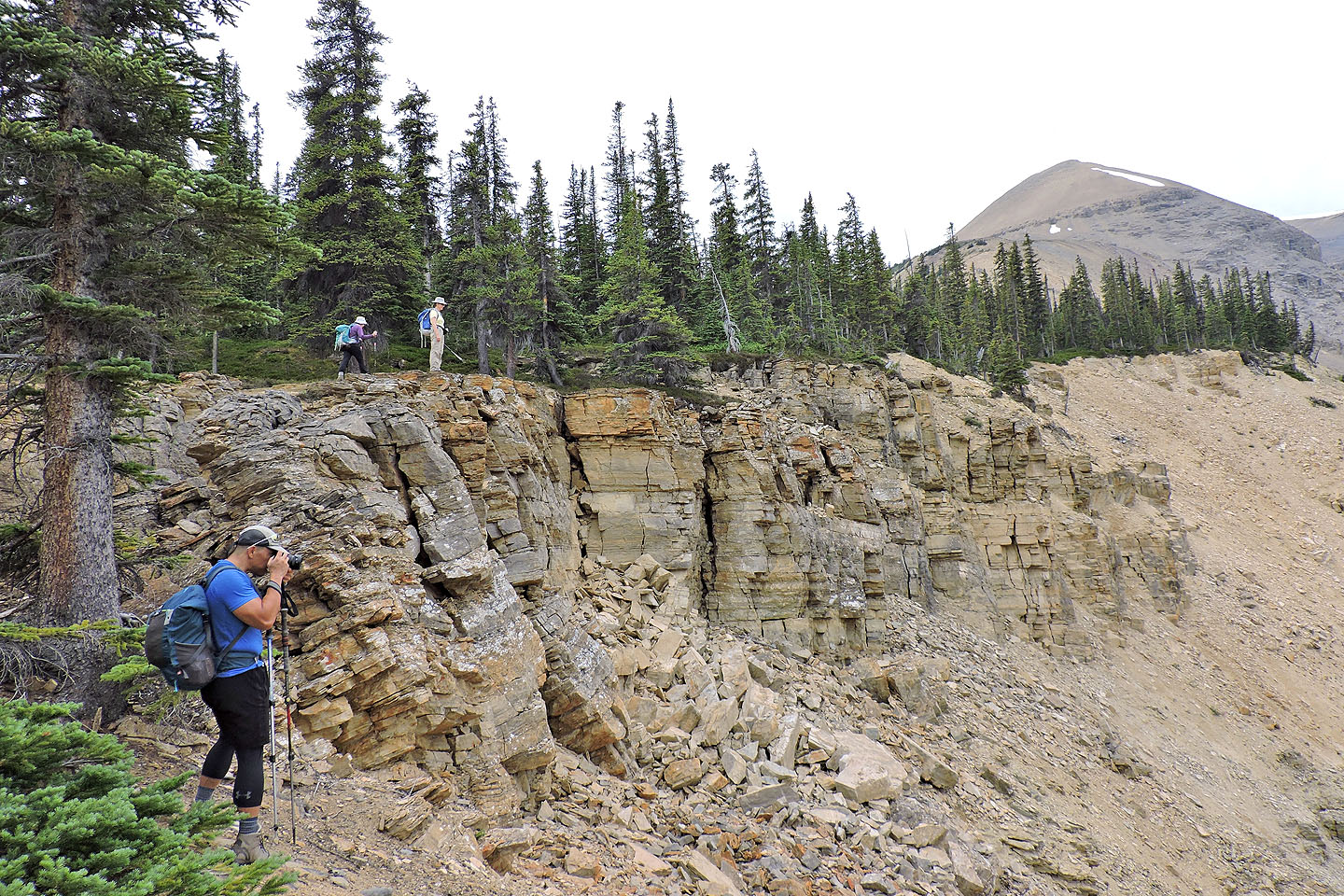
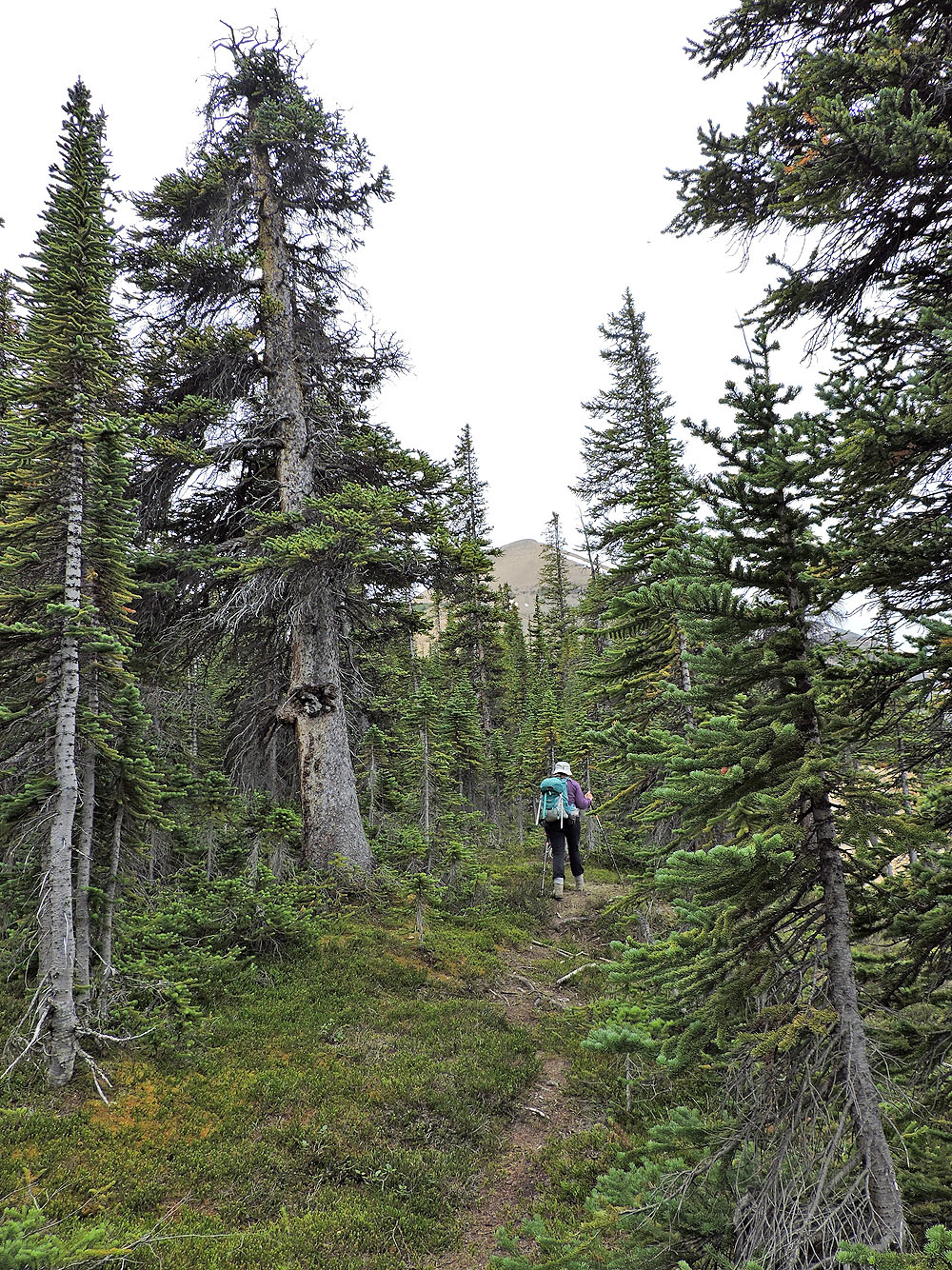
The trail leads to a road that crosses a meadow and climbs over a treed rise. At the bottom of the rise, the trail passes an open, steep slope below a cliff face. We left the trail and hiked up the wretched scree and vegetated slope. (Alternatively, you can leave the trail sooner, before dropping down, but I heard that the bushwhacking is daunting.) Once on the ridge, however, travel became pleasant. We found a trail in the trees, albeit one that fades in and out, so we had to fill in the blanks. Eventually, the trail vanished altogether, but we found corridors in the trees that led to the bottom of a scree slope. After climbing up to an alpine plateau, we faced the false summit. Only a broken cliff band interrupts an expanse of scree.
We headed to a weakness in the cliff band, but scrambling up wasn't as easy as it looked. Loose dirt and stones covered the rocks making it treacherous. Jonathan worked at clearing debris so he and Zora could climb up, but Dinah and I traversed a short distance and walked up scree in a break.
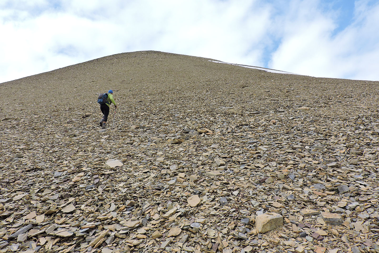
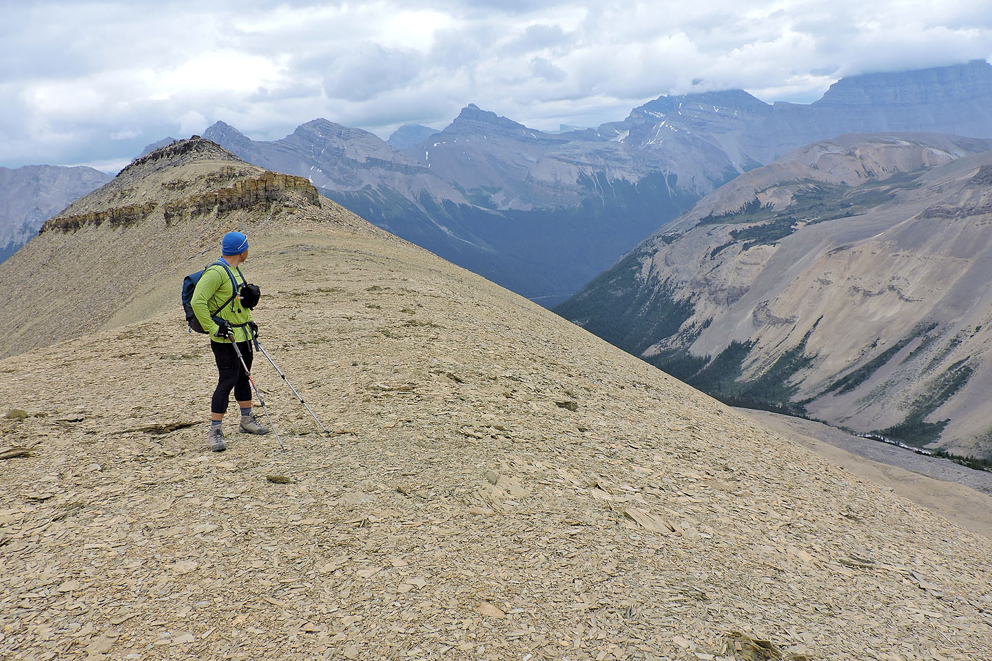
After reading reports about the loose scree, we were expecting an uphill battle all the way to the top of the false summit. Not so. Except for one short section, we found good traction and reached the false summit quicker than expected. There we had good views, albeit hazy, and we looked forward to reaching the summit for even better scenery. After dropping down a dozen metres to a col, we followed the ridge to the top. This was an easy climb that kept left of any obstacles and was often aided by a trail in the scree. We were soon relishing the vistas on the top. After getting an eyeful, we headed back down.
Granted the three-hour drive from Calgary is a deterrent, but given the great scenery and relative ease of the ascent, I think Big Bend Peak should see more scramblers.
Big Bend Peak from the trailhead. The summit is barely visible behind the pyramid-shaped false summit.
After crossing the bridge, Zora and Dinah set off on the lower trail. The upper trail follows the ridge above them.
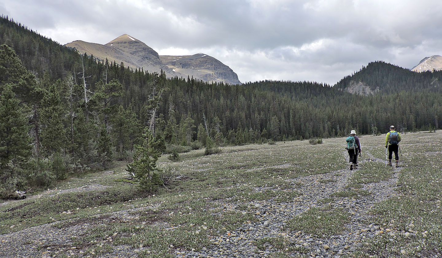
The trail leads to a road that runs into the forest
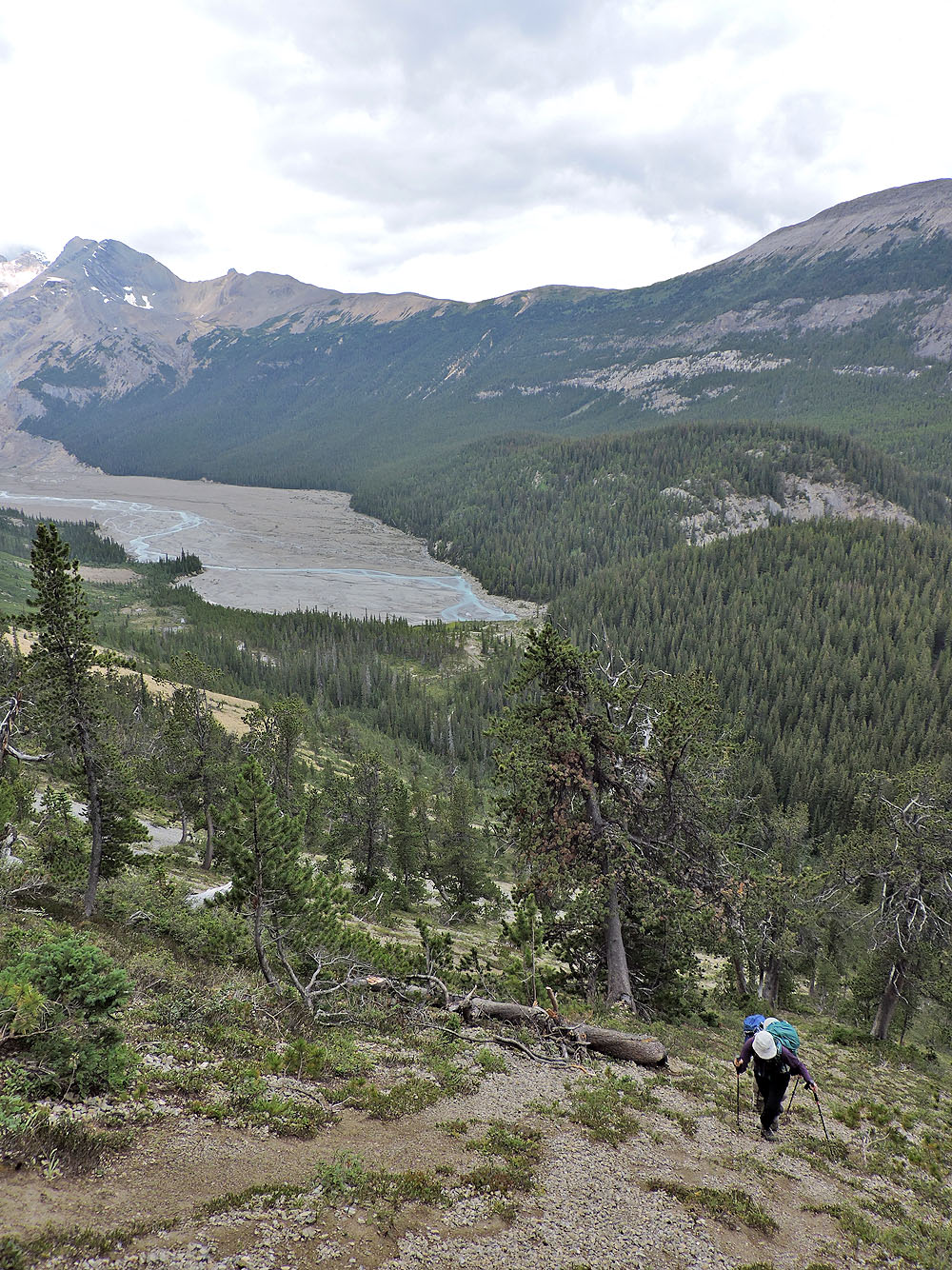
We'll end up on the ridge high above the road
We left the trail here and headed left
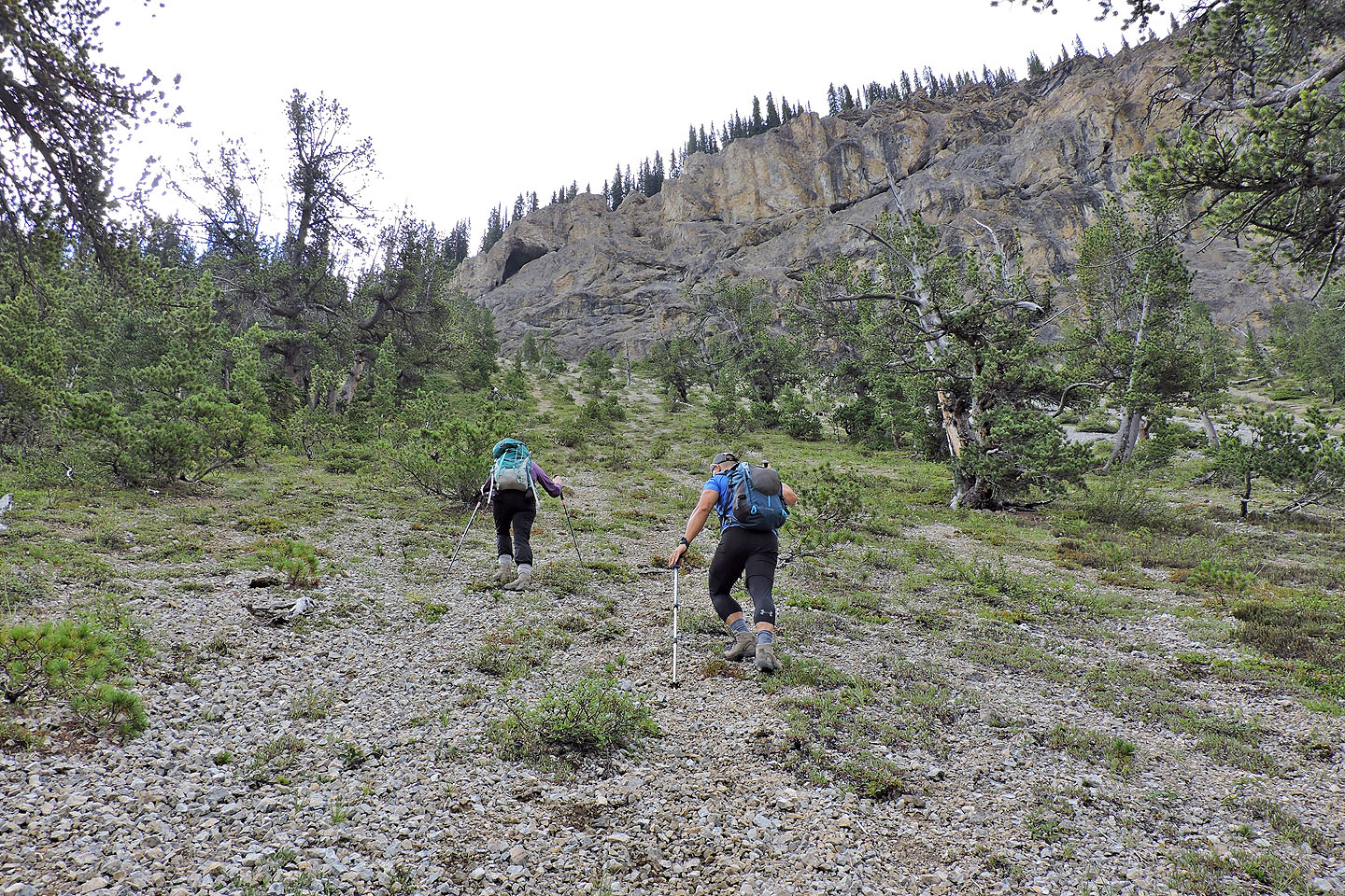
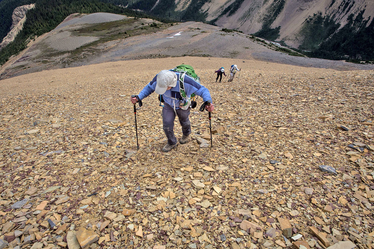
The foreshortened view belies the long plod up
Looking back
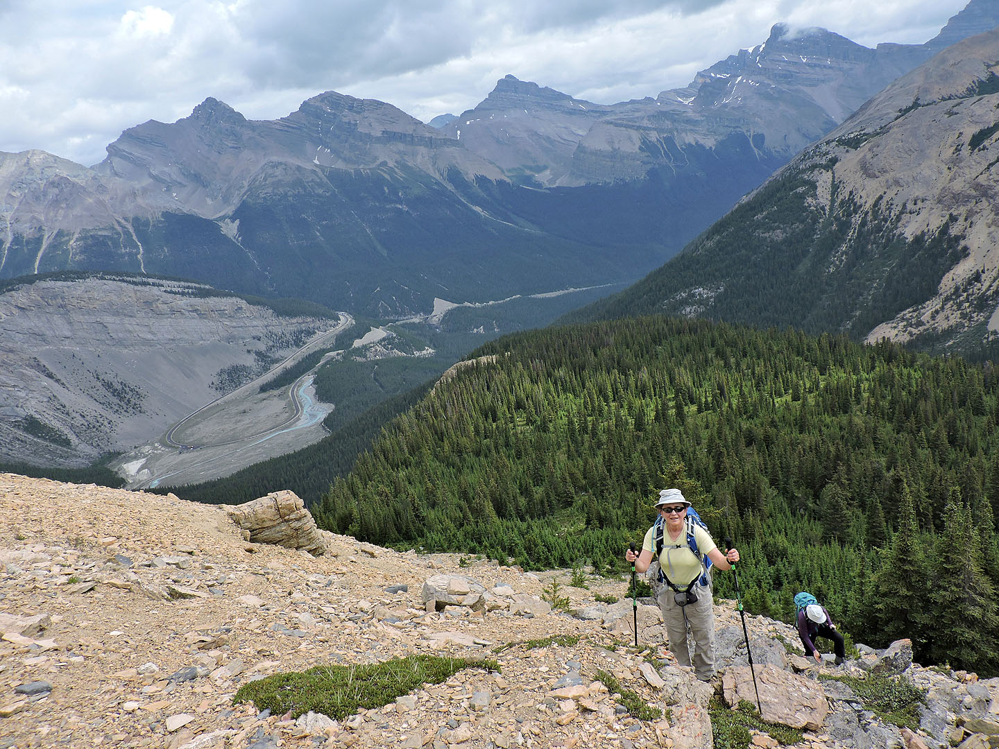
Almost on the ridge
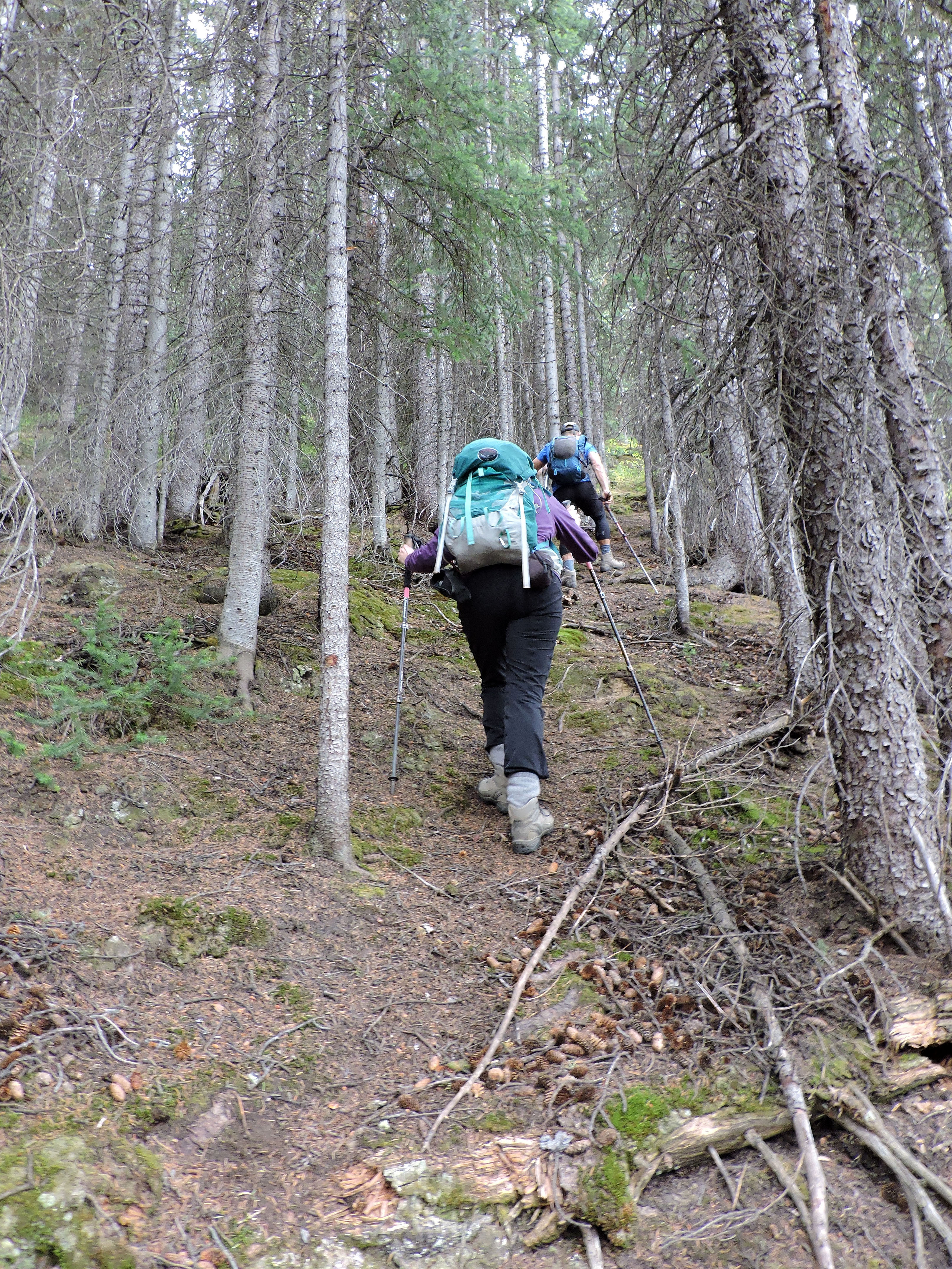
Following the ridgeline trail
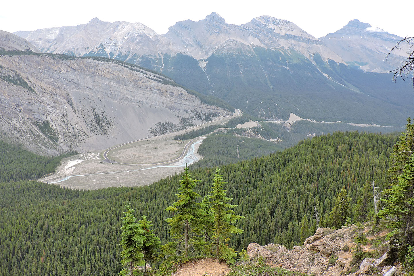
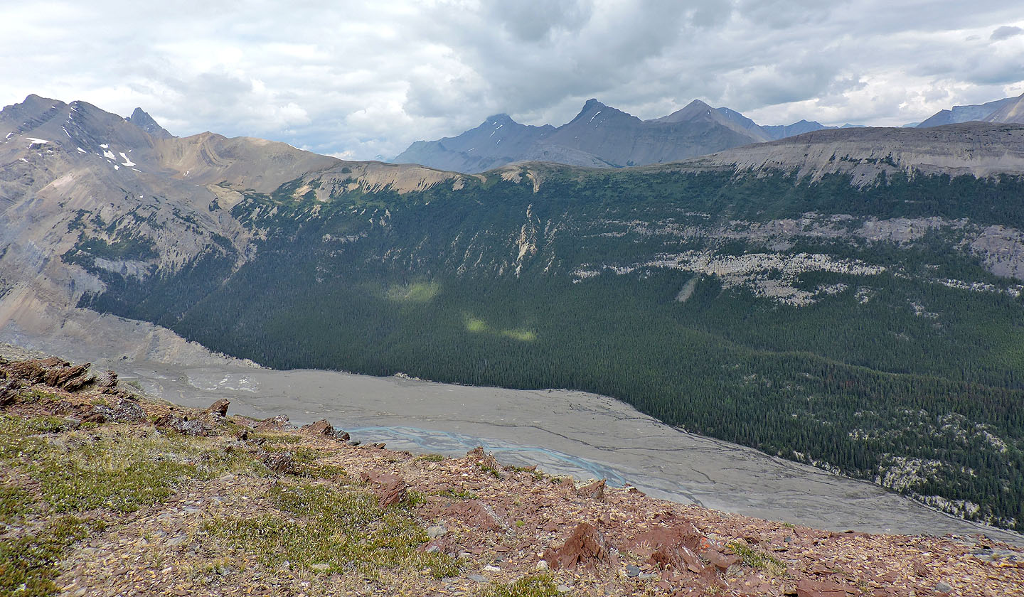
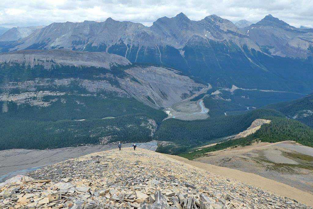
Looking down at the big bend in the highway. The trailhead is in the centre (mouse over for a close-up).
The false summit came into view
Still following a trail
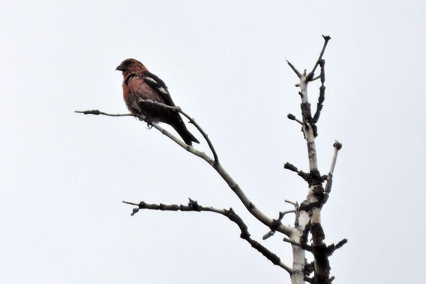
Red crossbill
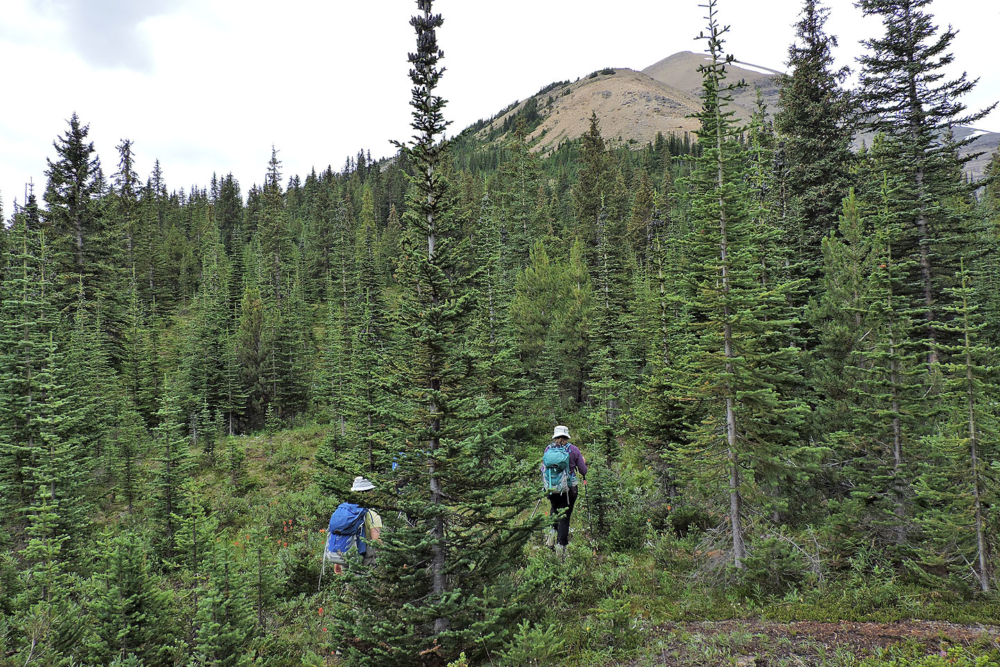
After the trail disappeared, we made our way through corridors in the trees
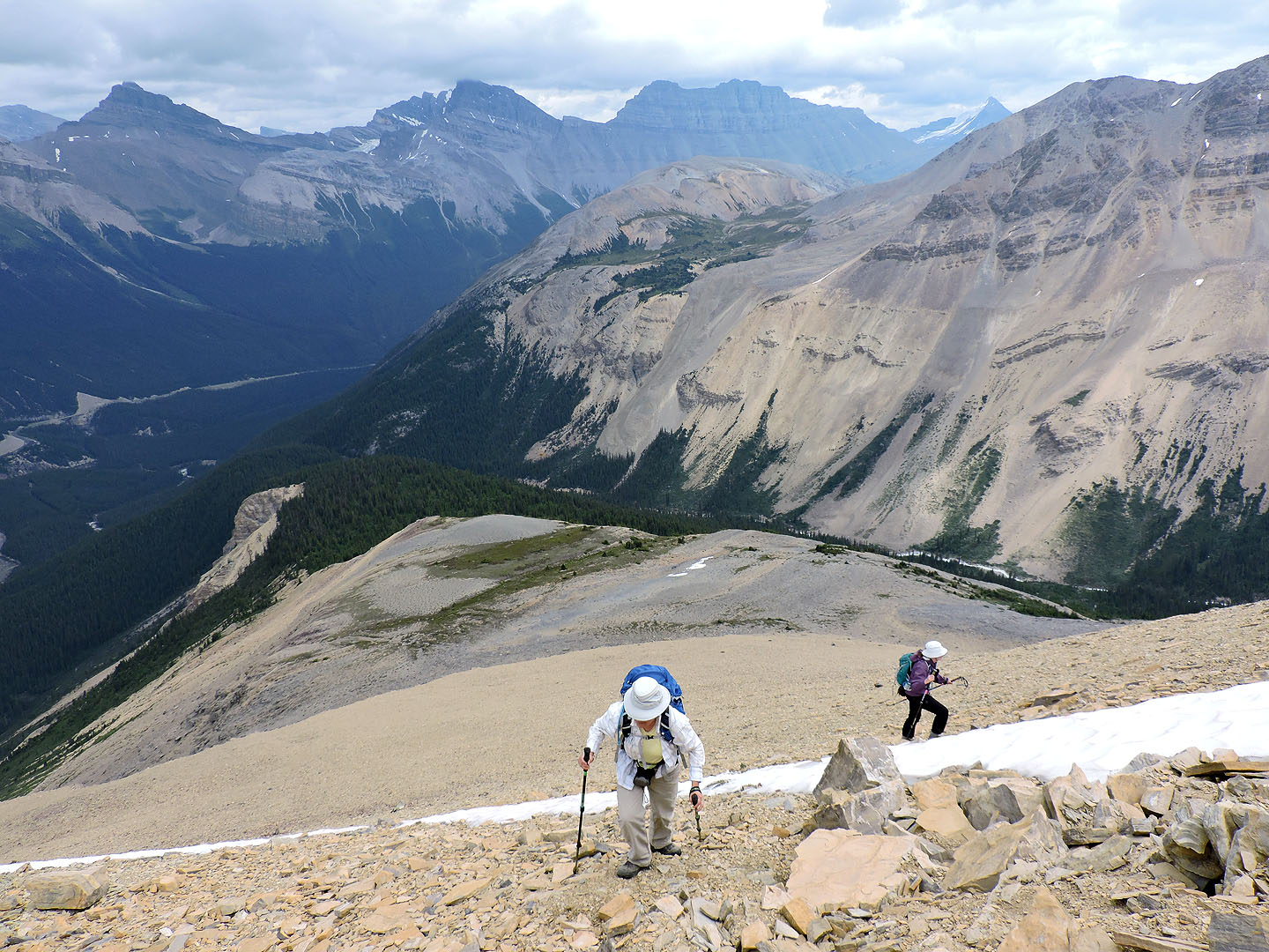
Looking back after we broke free of the trees
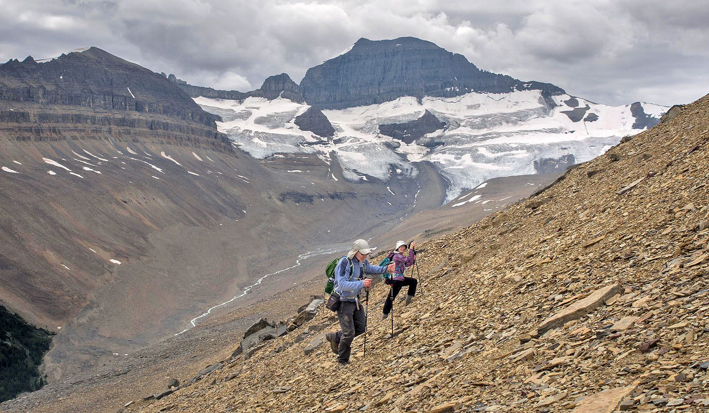
Looking north at Parker Ridge and the little, beige point (left) that Dinah and I climbed in 2008
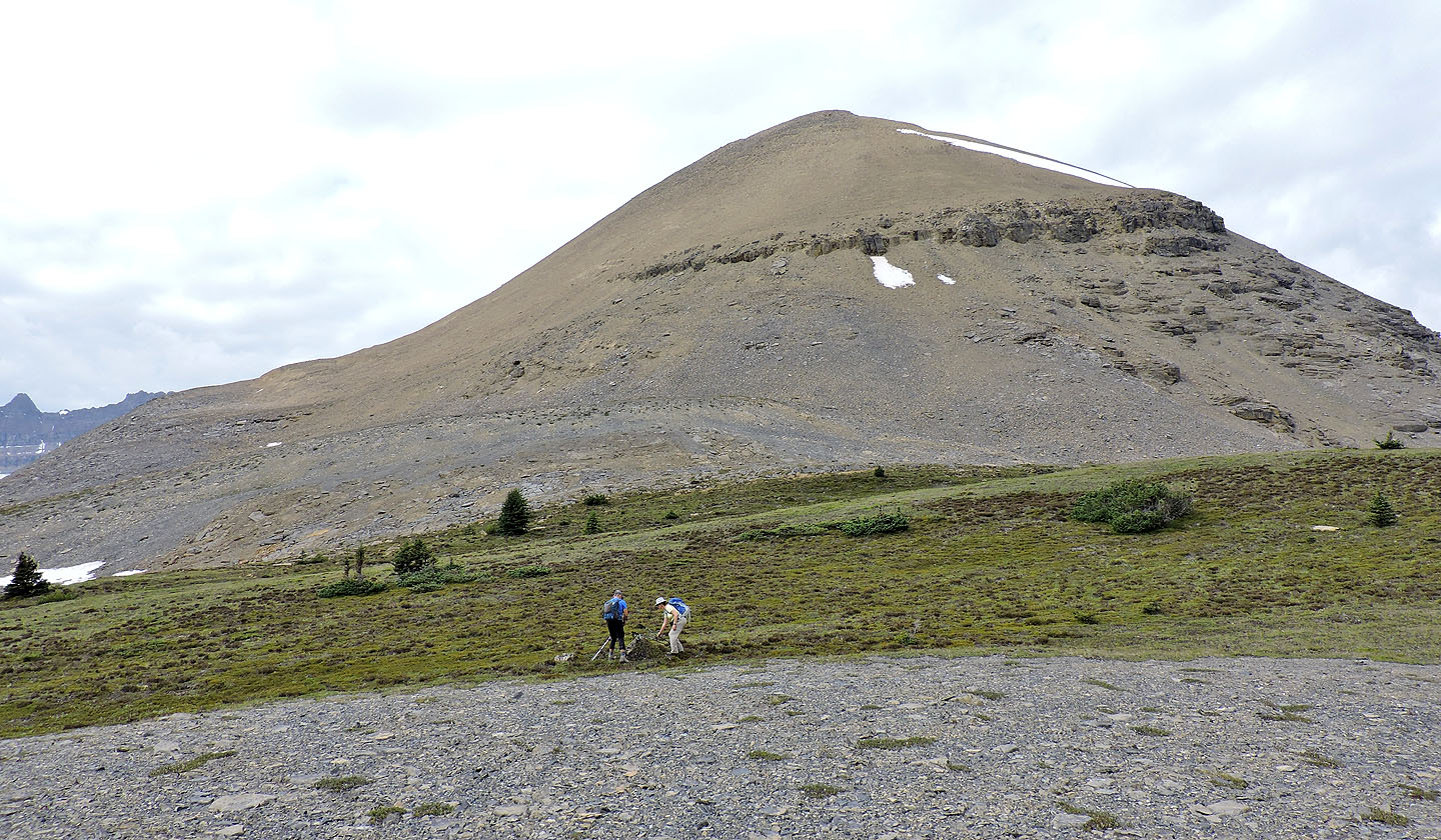
We took a break near the base of the false peak
Looking back after starting up the false summit
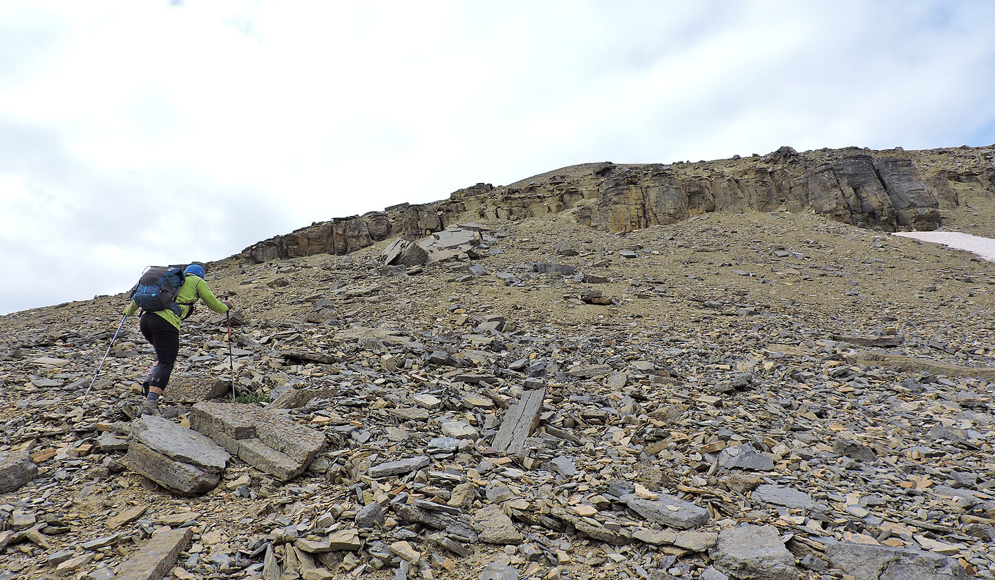
We headed to a weakness in the cliff band
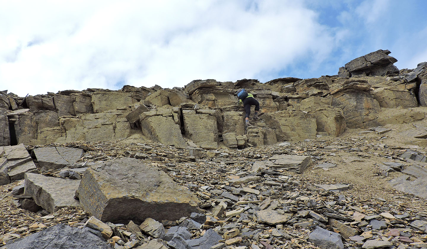
Debris covering the cliffs made the climb harder that it looks
Above the cliff band, we angled right, toward the top of the snow patch
For the most part, the scree provided good traction
 Partway up we encountered soft scree, but it didn't last long
Looking back after crossing the snow
Looking back from the false summit
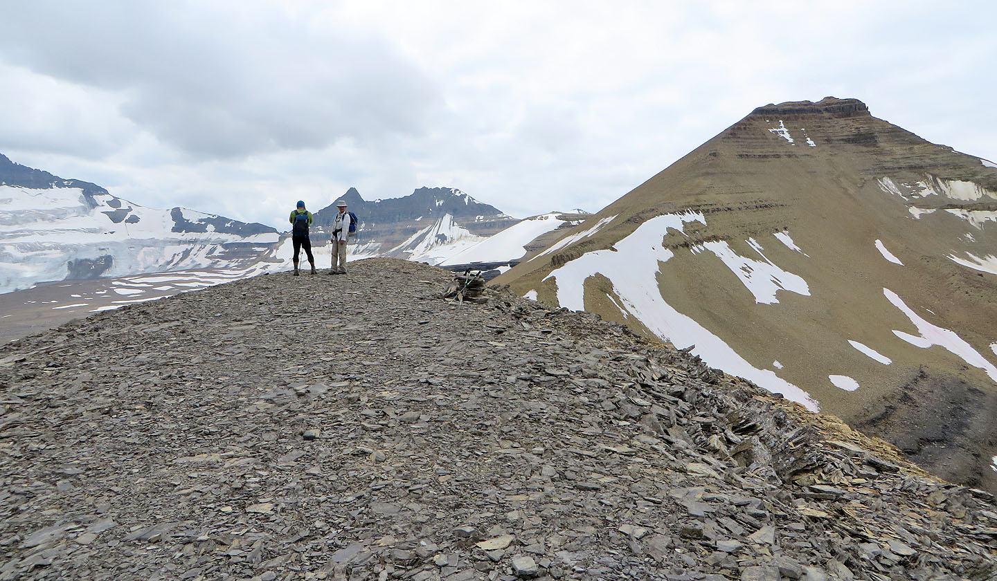
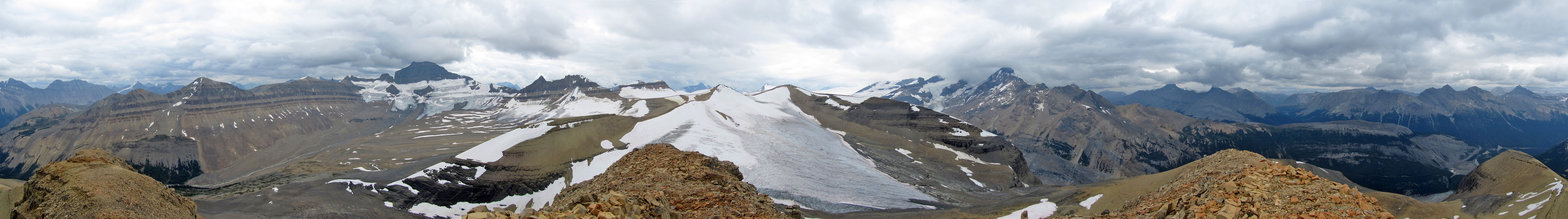
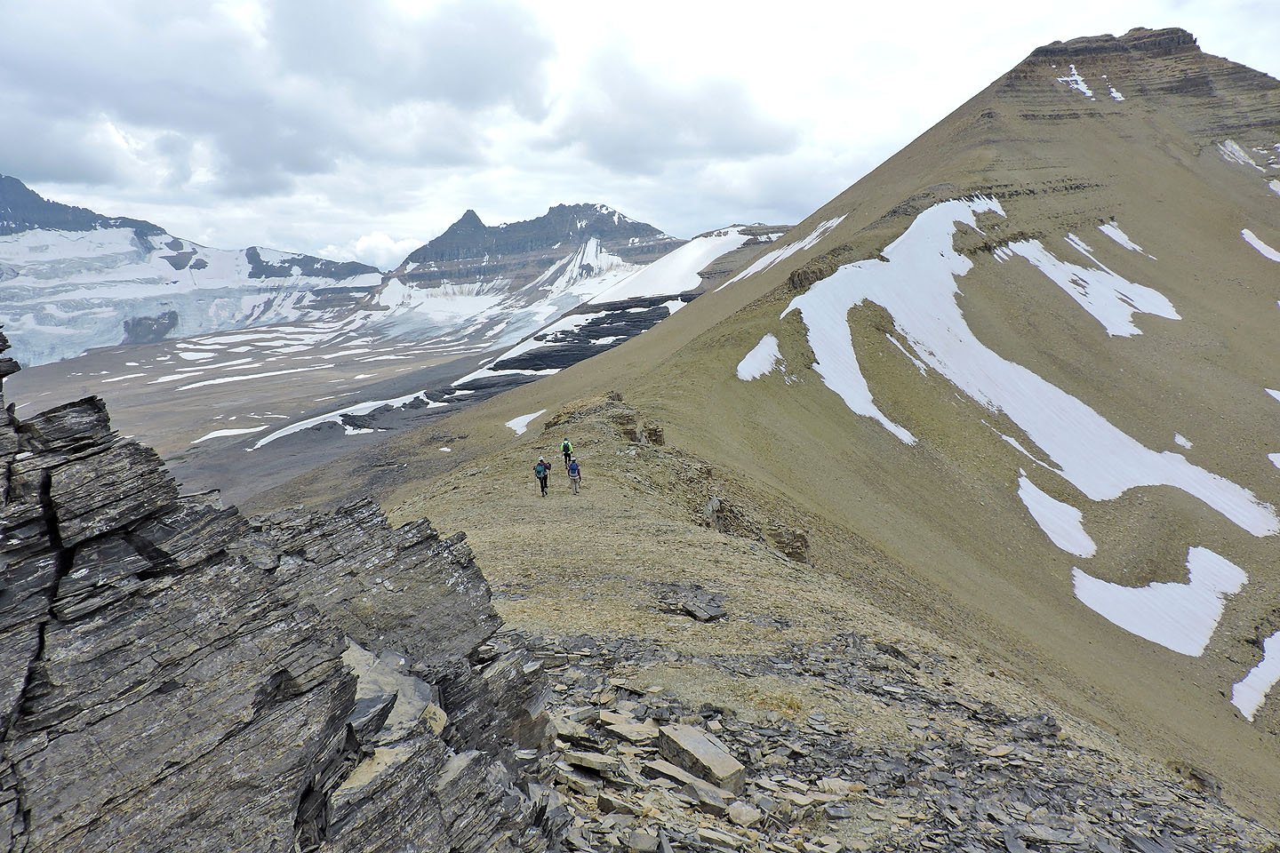
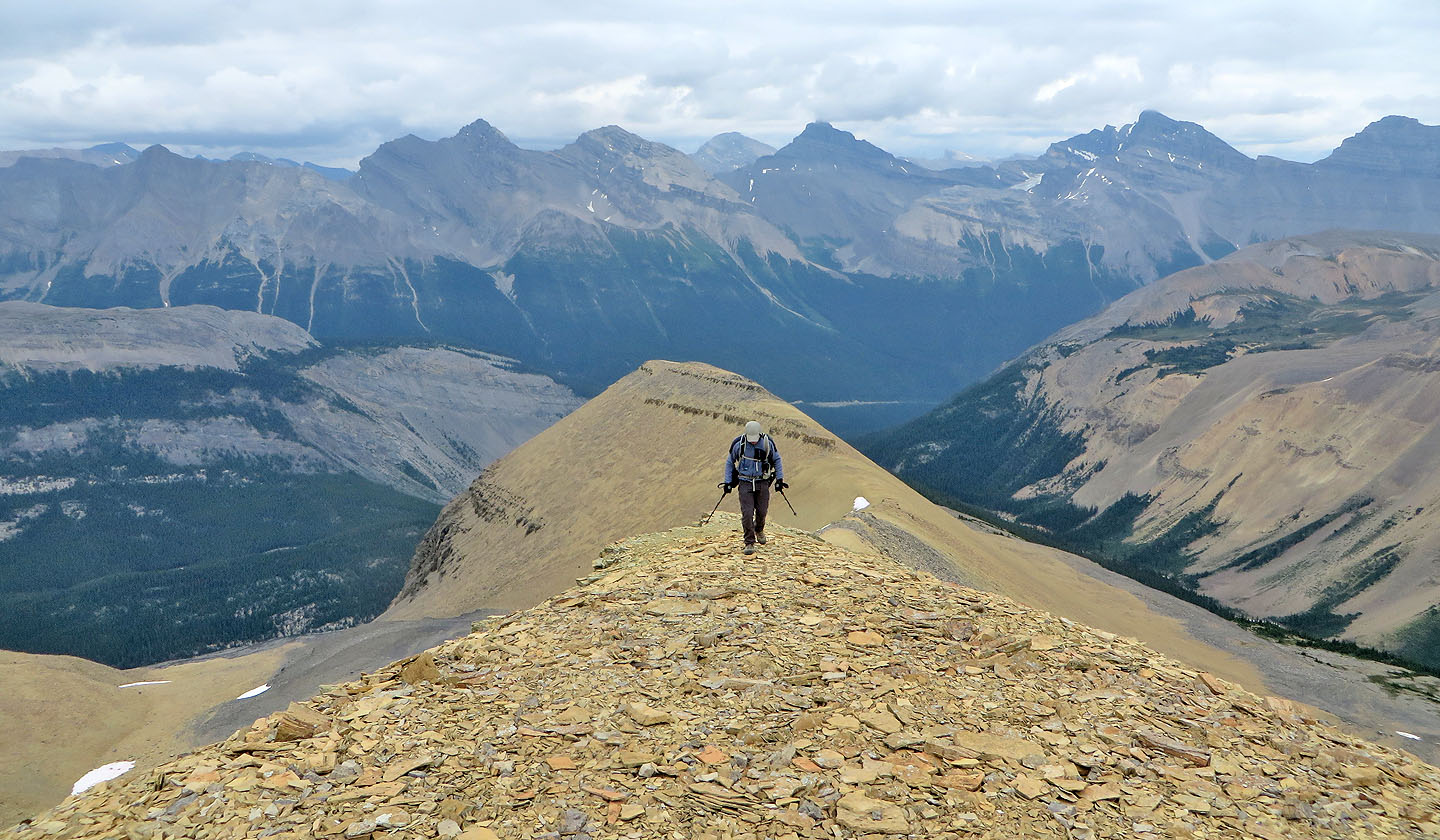
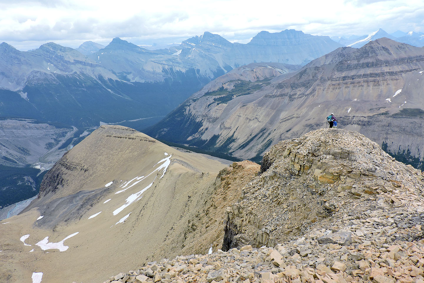
From the false summit we can see the true summit
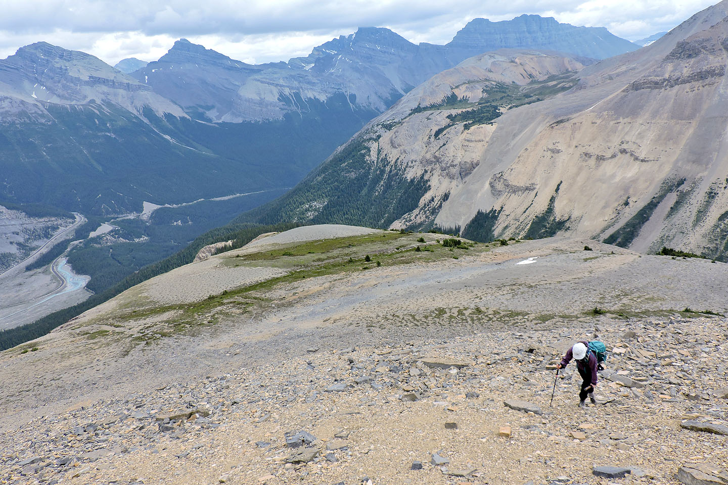
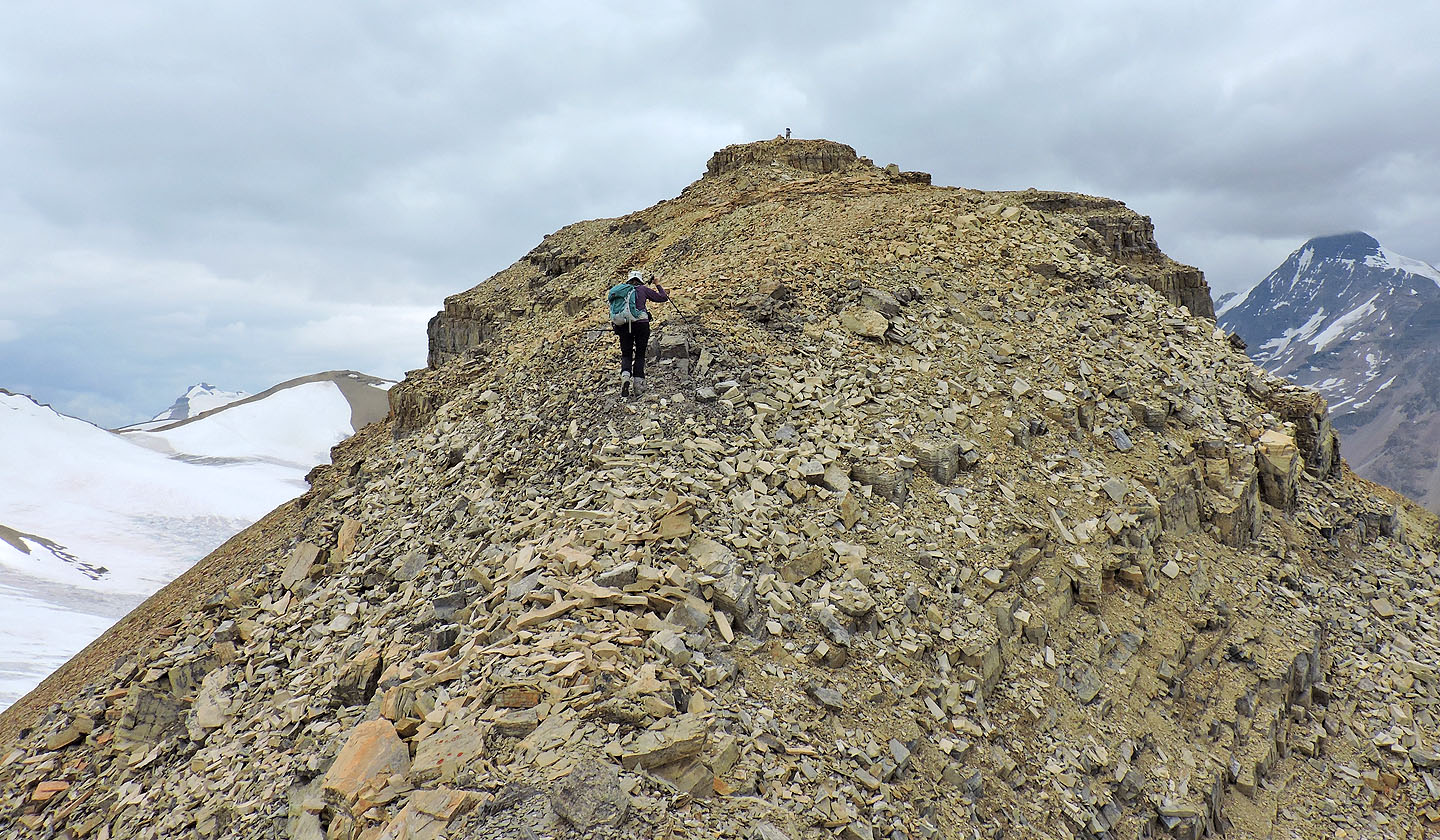
Descending the false summit
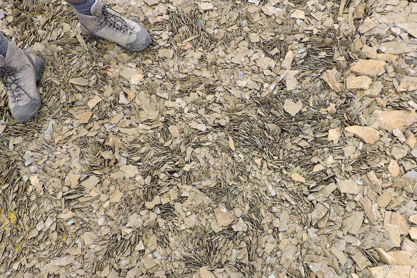
Interesting shale pattern on the ridge
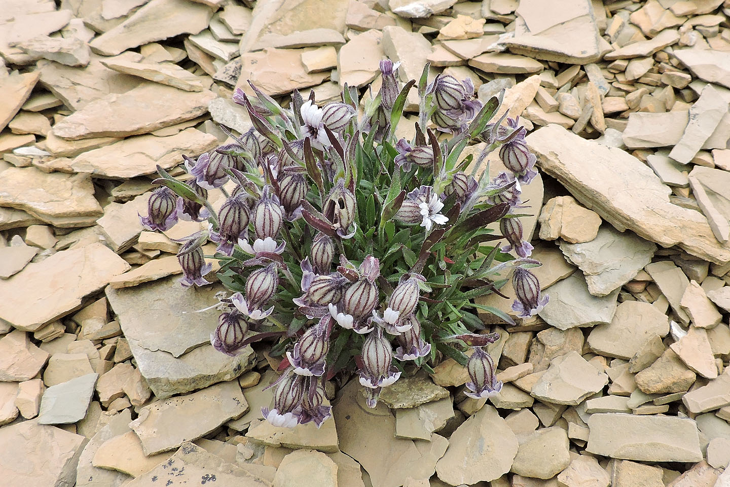
Bladder campion, an introduced wildflower, seems to thrive in the scree
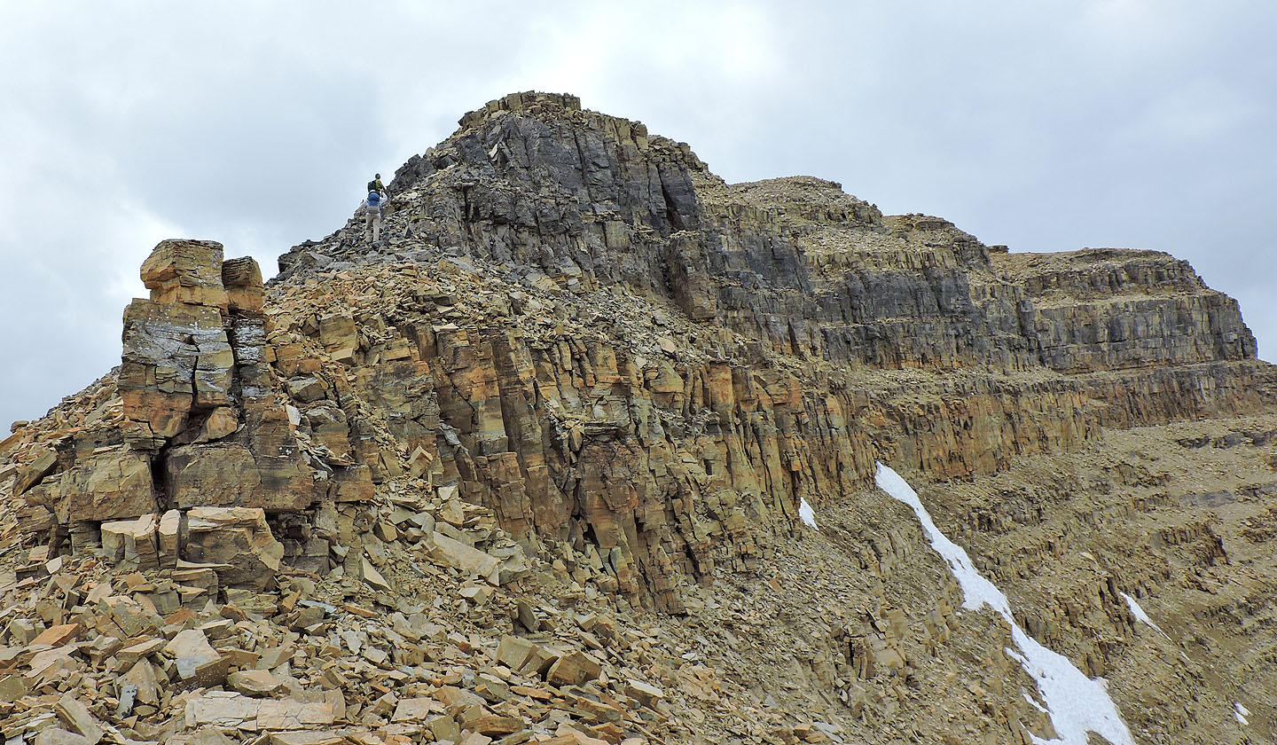
Starting up the true summit
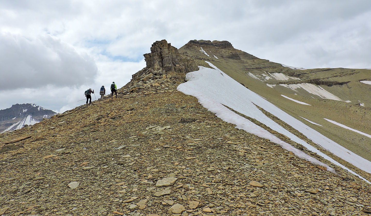
Looking back at the false summit
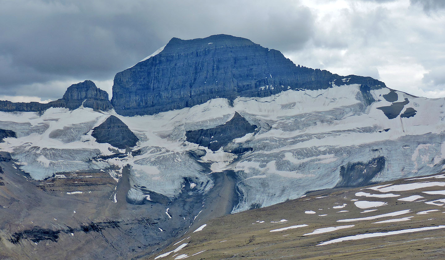
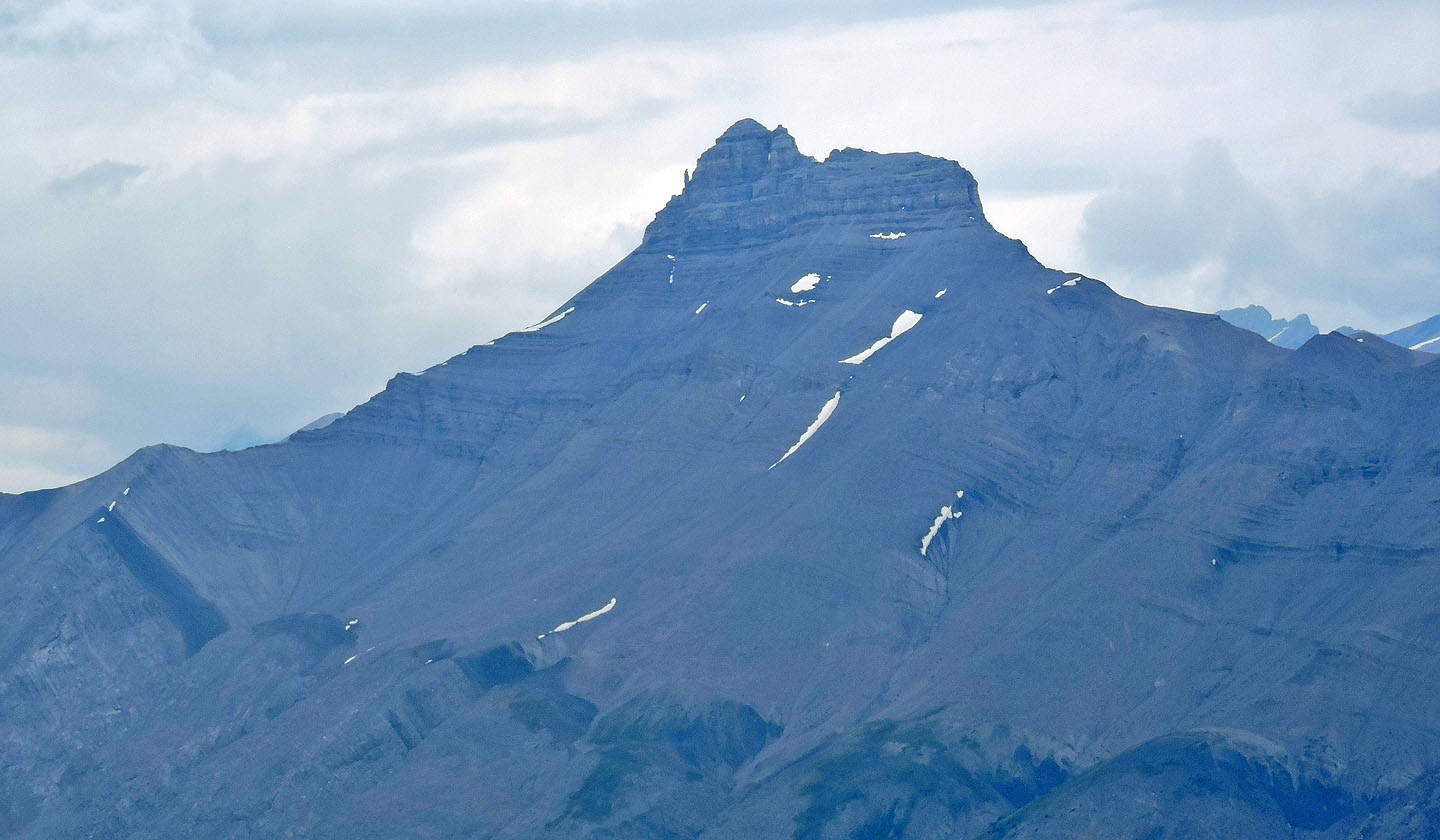
Mount Saskatchewan lies south
The summit is hidden and still a ways away
Jonathan and Zora appear on the summit
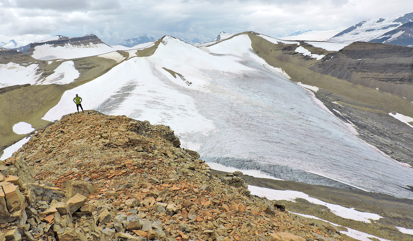
Jonathan strikes a pose with a glacier backdrop
Nigel Peak lies north
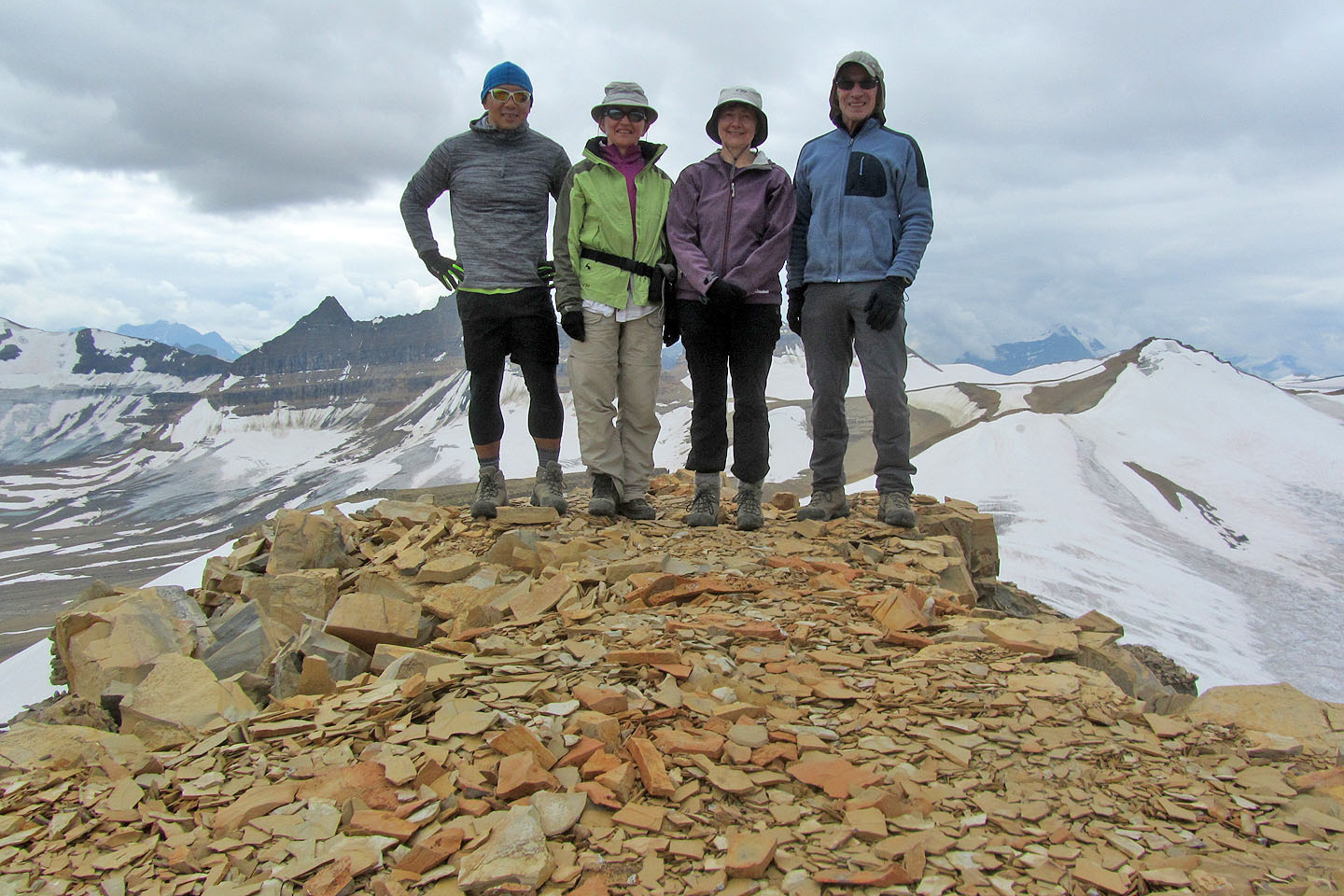
On the summit
Starting back down
Instead of going over the false summit ahead, we went around it on the right side
83 C/3 Columbia Icefields