bobspirko.ca | Home | Canada Trips | US Trips | Hiking | Snowshoeing | MAP | About
Victoria Peak (Hiking Route)
Castle Provincial Park, Alberta
September 3, 2021
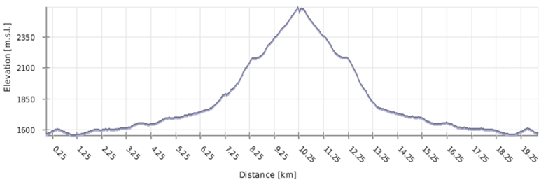
Distance: 18.3 km (11.4 mi)
Cumulative Elevation Gain: 1181 m (3875 ft)
With its majestic profile, it's no wonder Victoria Peak was among the first mountains Dinah and I climbed in Castle Provincial Park. Except Dinah wasn't up to doing the final scramble to the top (see our 2006 report). To rectify that, she wanted me to take her up a hiking route. Using the south ridge, we attempted it in 2013 but turned back because of a thunderstorm. Now years later, after some cajoling, I again agreed to take her. This time, in fine weather, Dinah and I, along with Christine, achieved the summit.
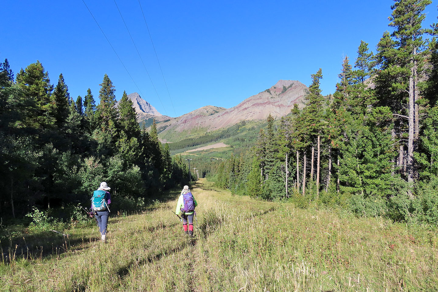
We used the south ridge again, but we had to change our start. Since our attempt, a section of road from the usual approach has became closed to the public. The new access uses a powerline right-of-way. (Thanks to Adam Ess for his posting.) It adds little distance, but annoyingly climbs 40 m over a hill and crosses three streams. There is no trail, nor is there any bushwhacking.
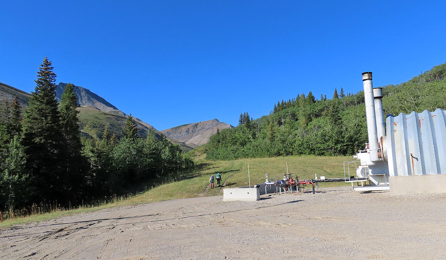
We parked next to a gas facility and walked up a short road to the right-of-way. We followed it as it went over the hill and turned right at the bottom. It led to another gas plant and the road, the usual route. We walked to the end of the road and started up the valley trail.
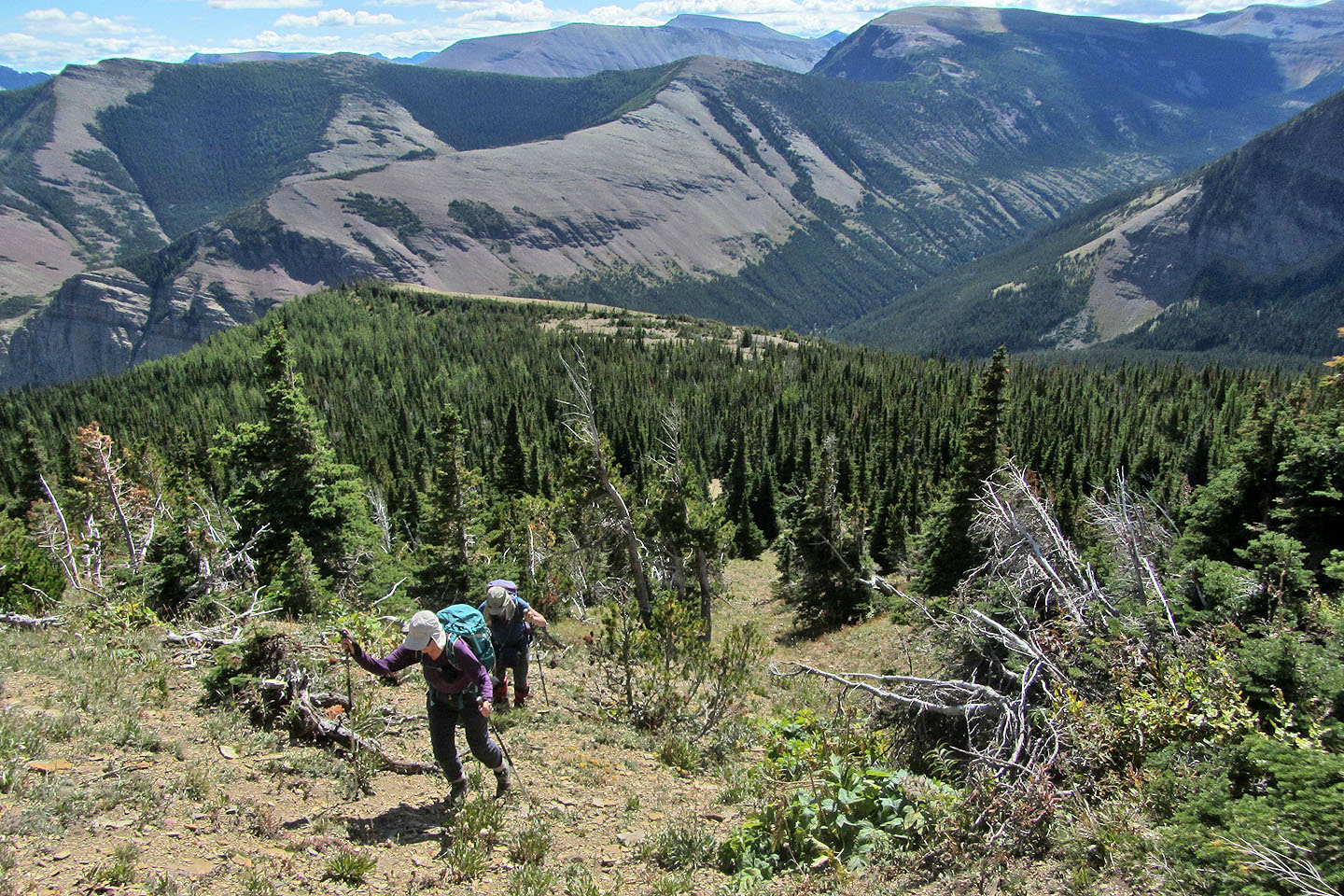
2.5 km later, just before the trail crosses a rivulet, we ascended an open slope. At the end of the clearing, we had to push through dense forest, fortunately brief. (Bushwhacking was no better here when we tried a different route on the descent.) We continued up the steep slope, sometimes bushwhacking but mostly following glades. We worked our way to a clearing that leads to the south ridge. Once on the ridge, we hiked to a plateau.
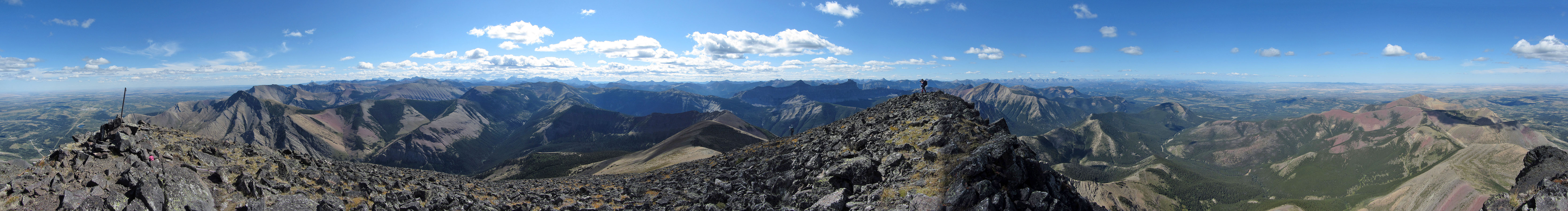
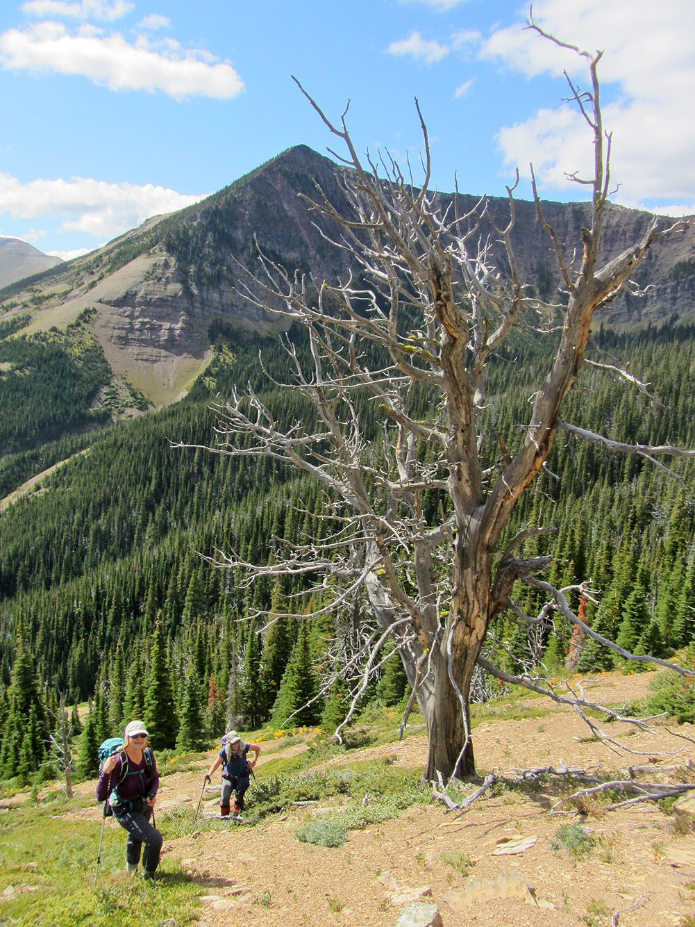
The rest of the ascent was obvious. Only a thin forest, an expanse of buff shale and a stretch of black rocks separated us from the summit. We hiked through the trees, took a shallow angle up the slope to gain the west ridge, and tottered up the talus to the summit. We spent several minutes on top enjoying the views. Then we retraced our steps back down, only varying where we encountered thickets. And we took in stride going over the little hill for the new access.
We were pleased to reach the summit, but none more than Dinah who had been turned away twice on Victoria Peak. The route is a good alternative for those wishing to avoid a moderate scramble and are comfortable with bushwhacking and routefinding.
Christine and Dinah start up the road to the powerline right-of-way
After reaching the hilltop, we faced a 50 m drop
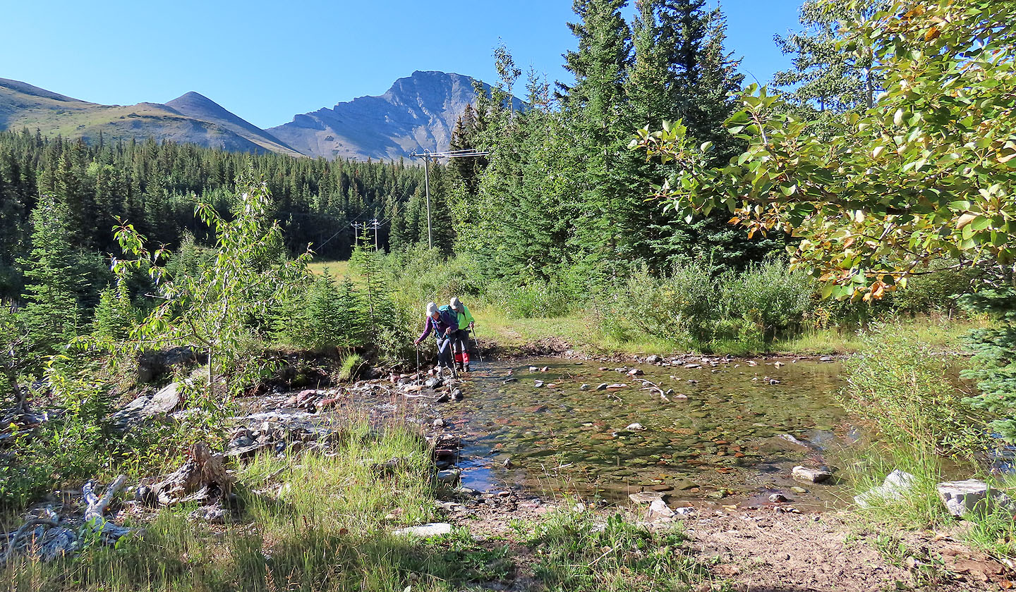
Crossing the third of three streams
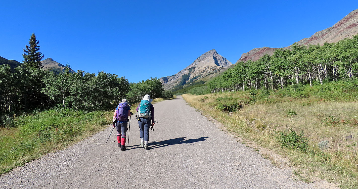
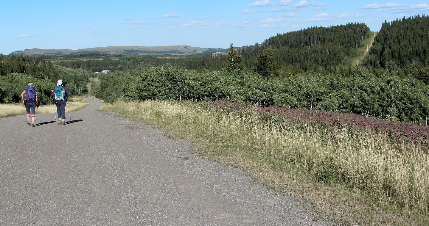
On the road with Victoria Peak ahead
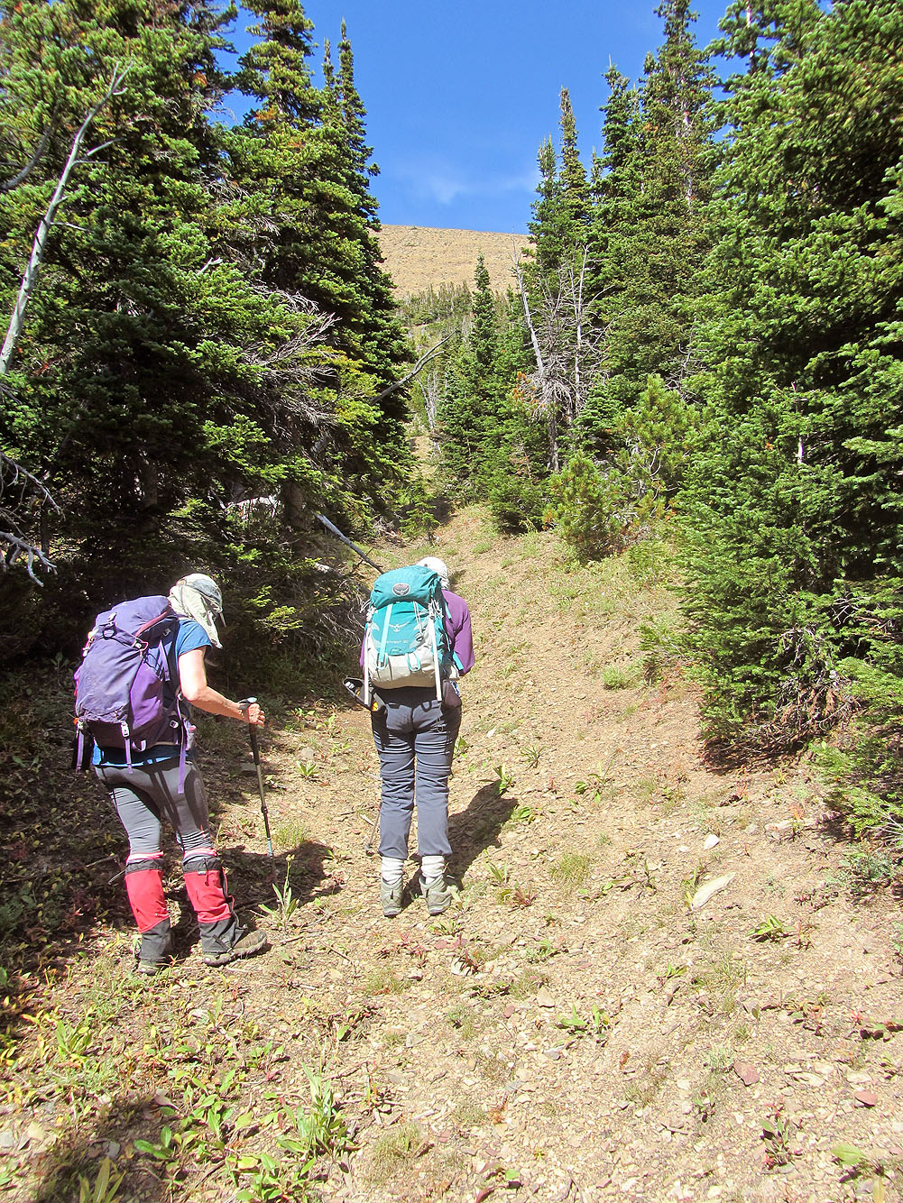
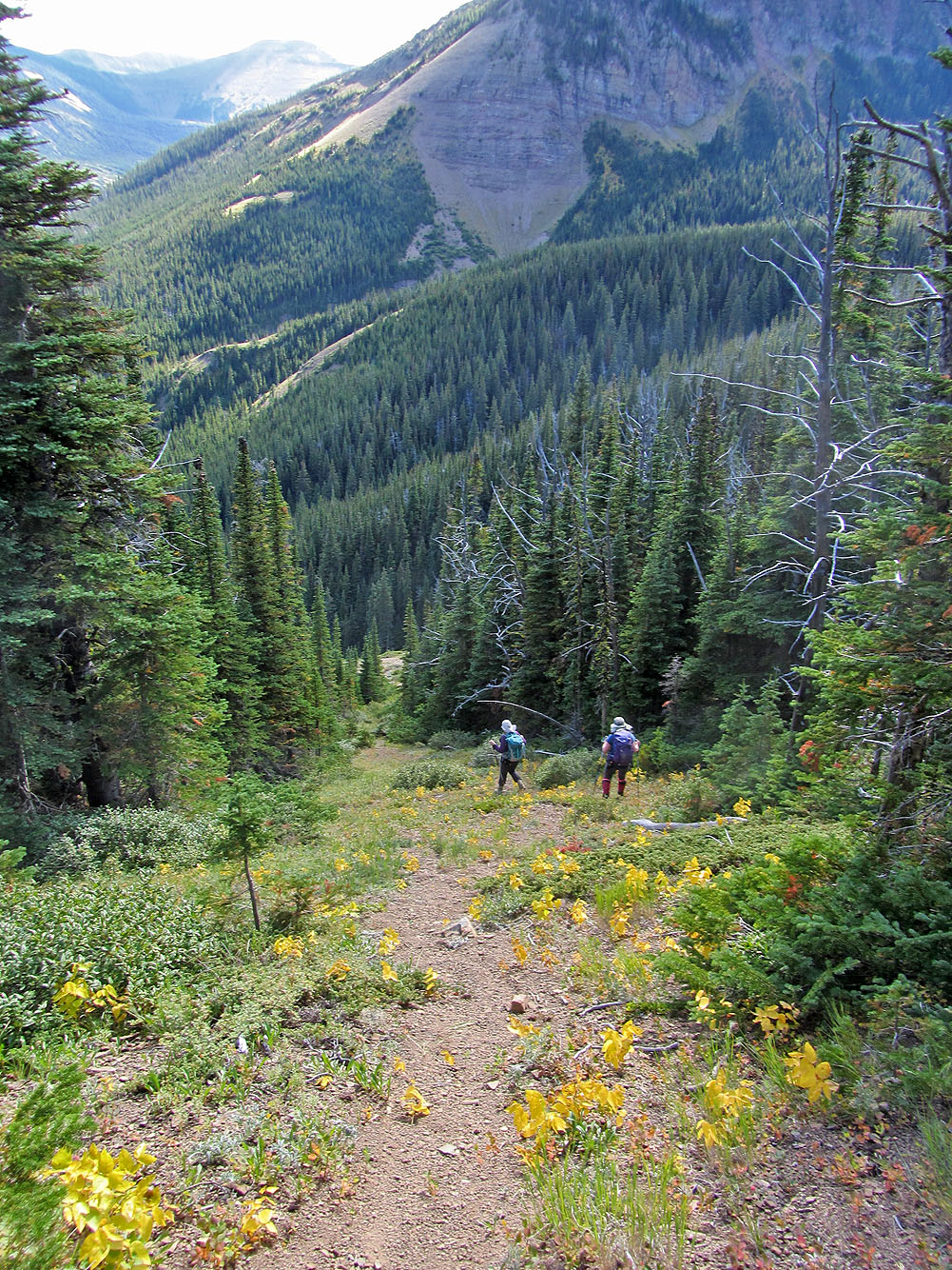
Hiking up the trail after the road ends
After leaving the trail, we started up an open slope, but it ended in dense trees
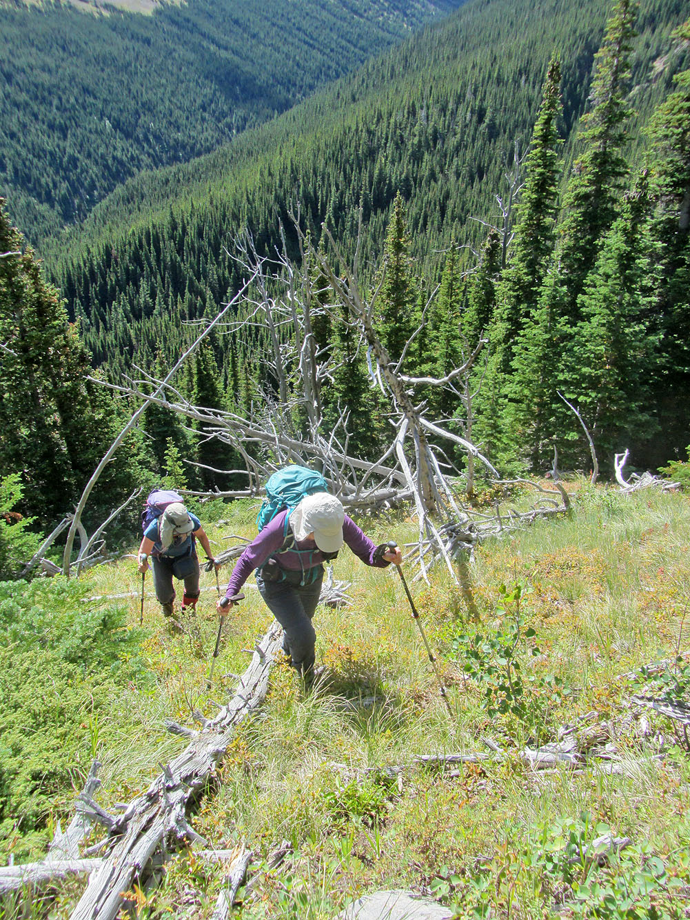
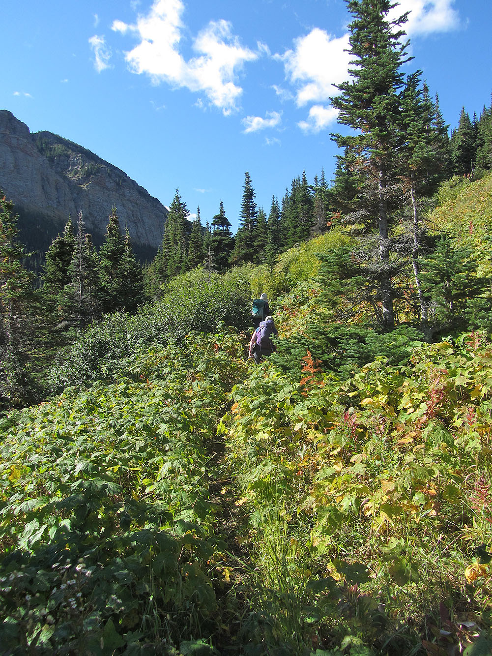
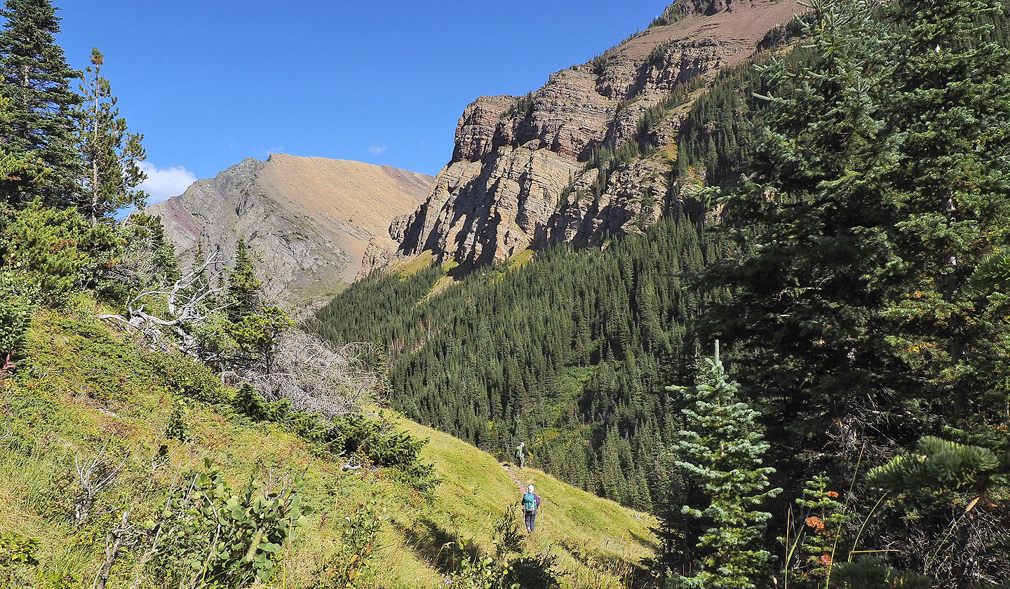
Our route took us through glades as well as forest
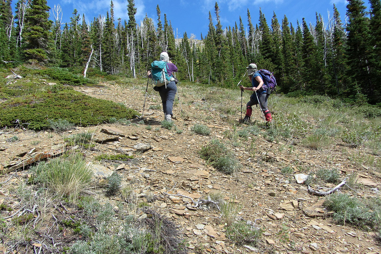
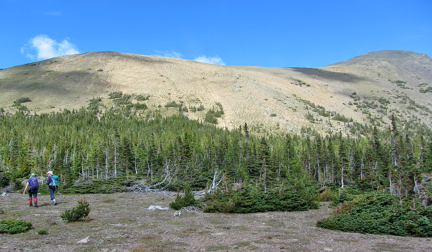
We came to a clearing where we could see the ridge ahead
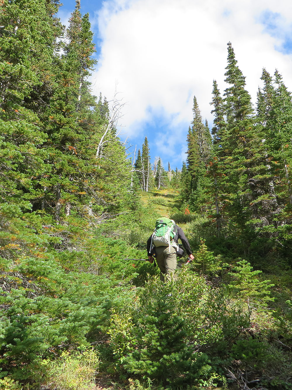
A corridor in the trees leads to the ridge
We passed a big old tree. Below is the clearing we reached.
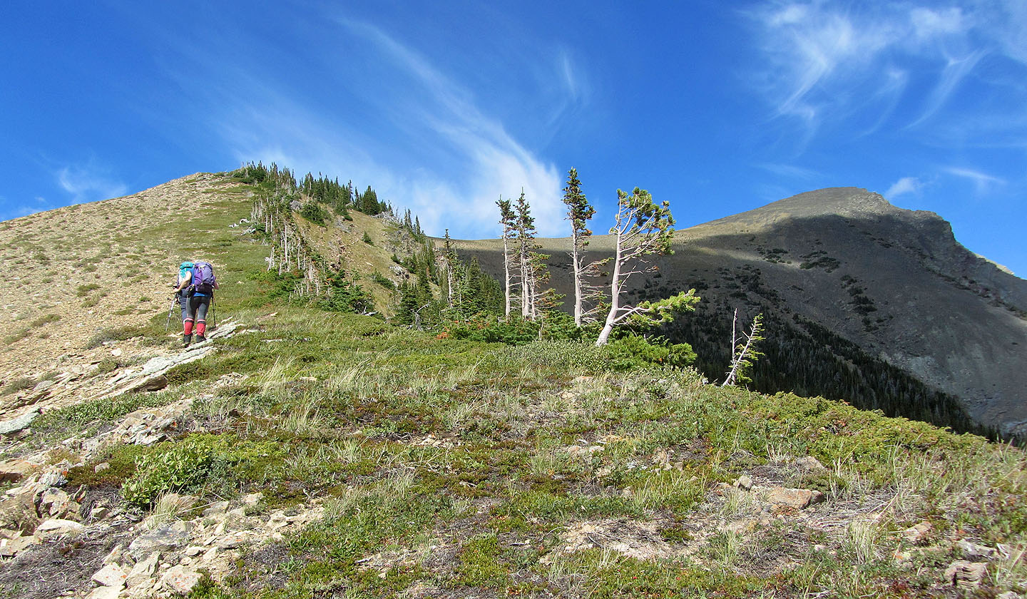
After gaining the south ridge, we had a view of the summit
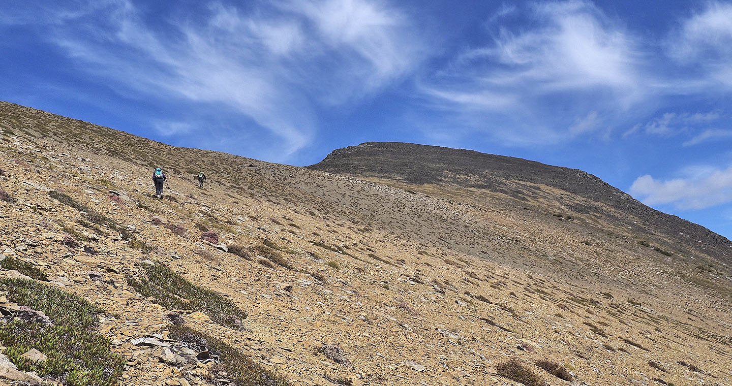
From the plateau the way up is obvious
After meandering through the trees, we found a gully going straight up
Looking back as we exited the trees
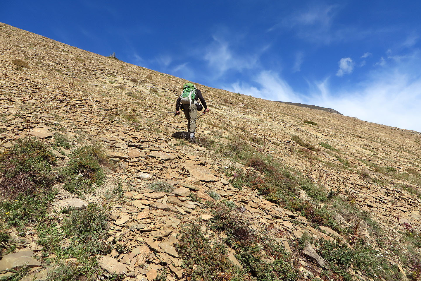
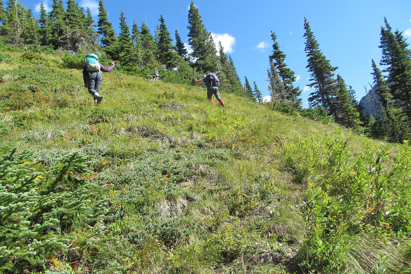
Starting up the slope to the ridge
Instead of going straight up, we took a shallow angle
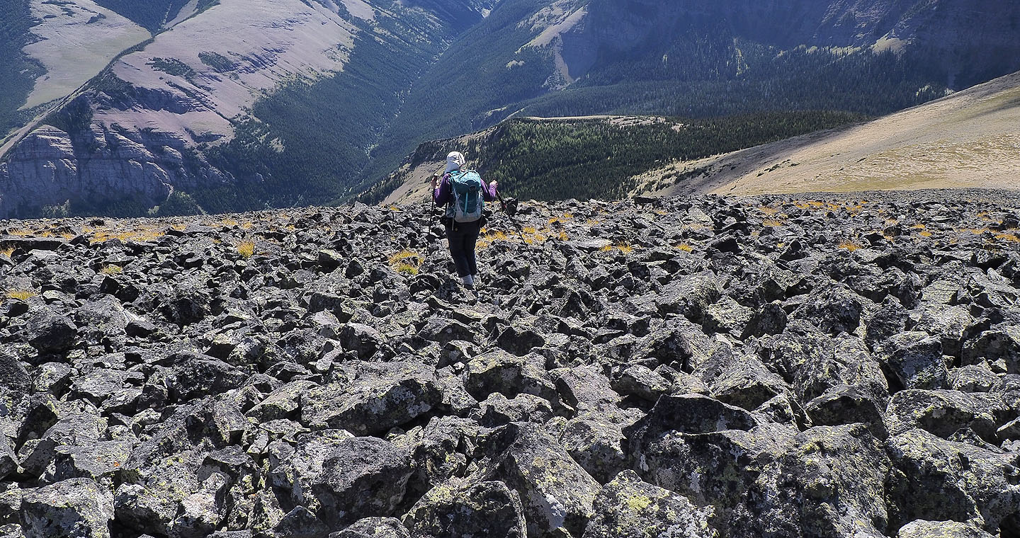
Heading to the dark summit
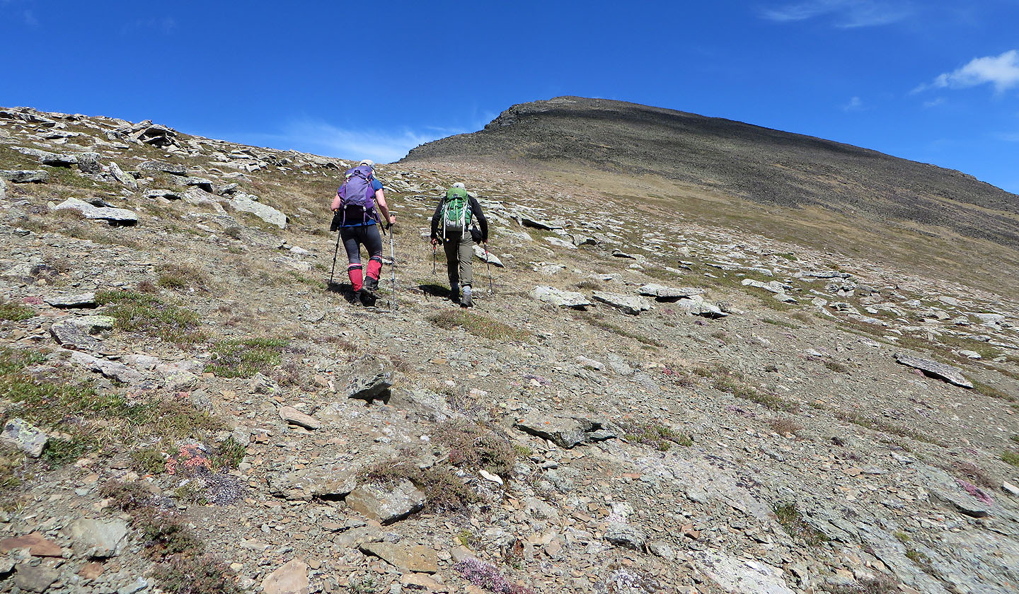
The last section is rather rocky
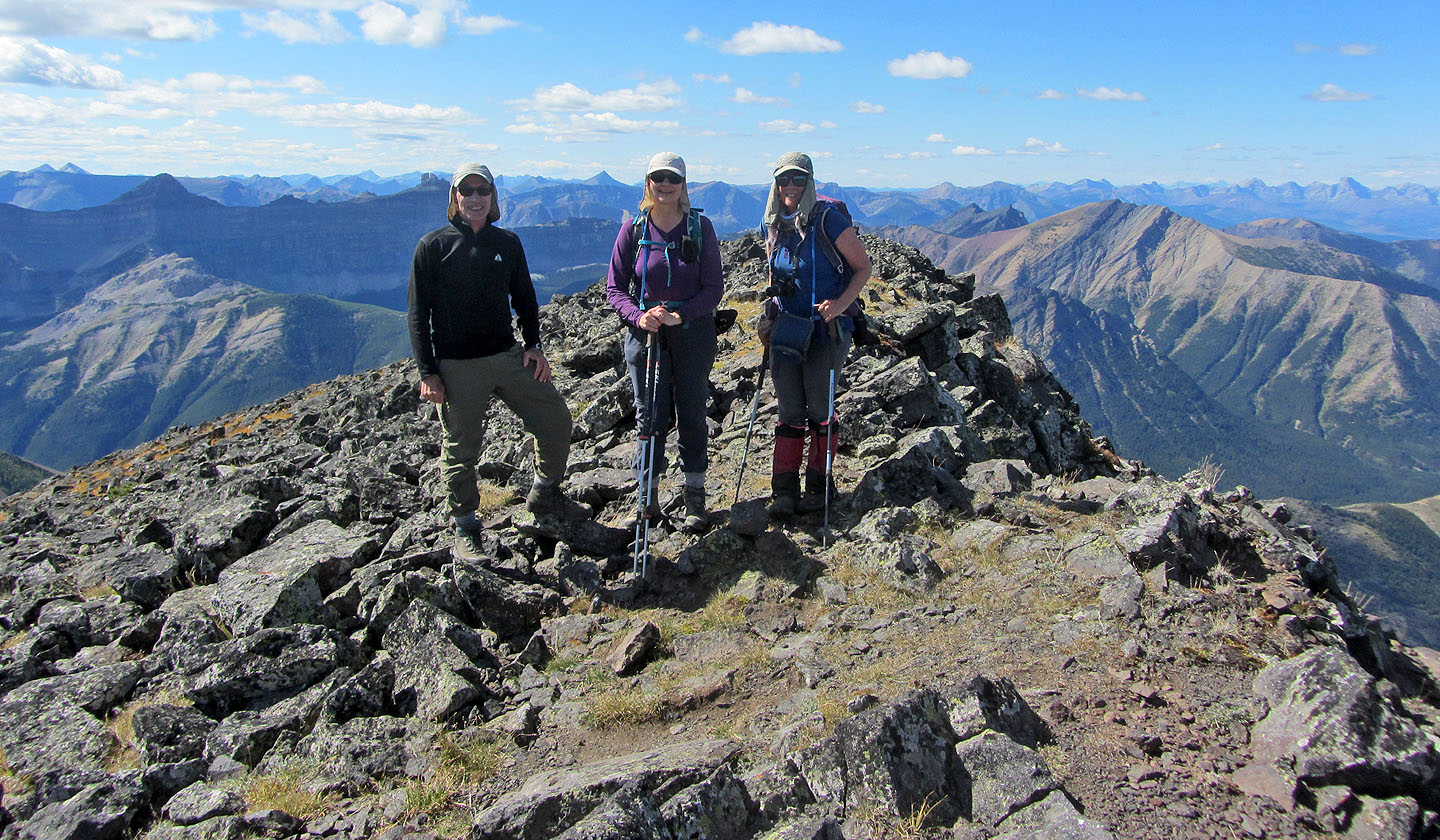
Posing on the summit
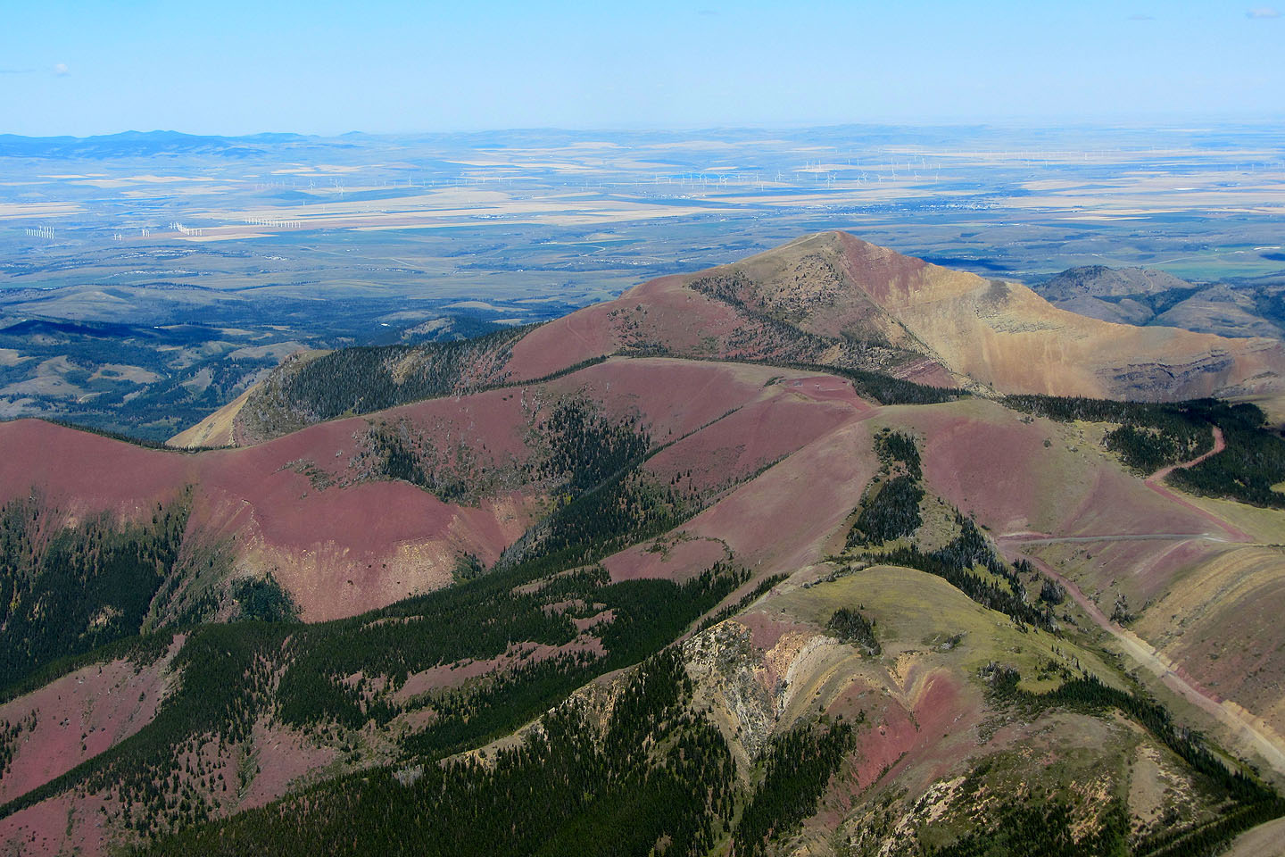
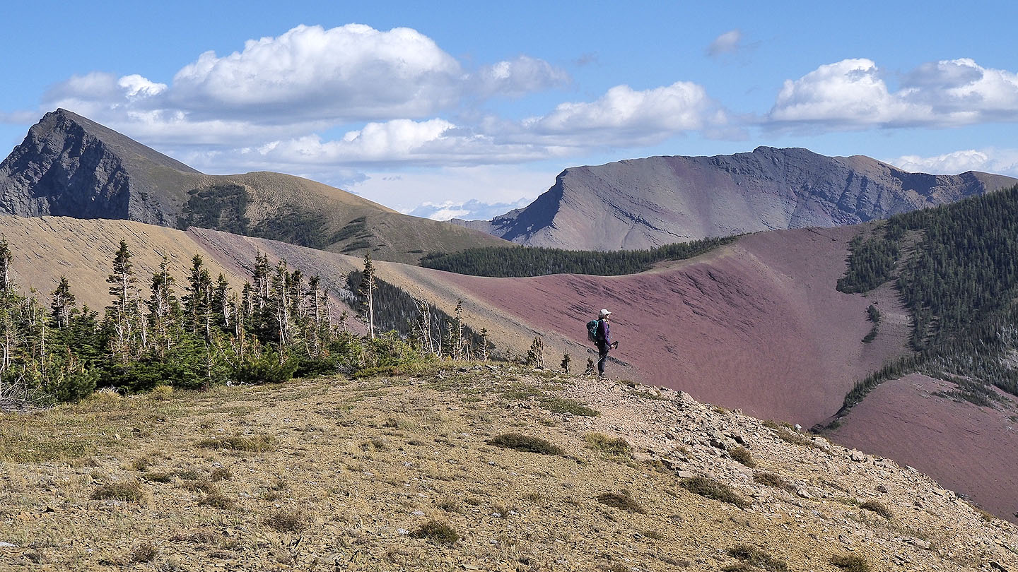
Prairie Bluff lies northeast
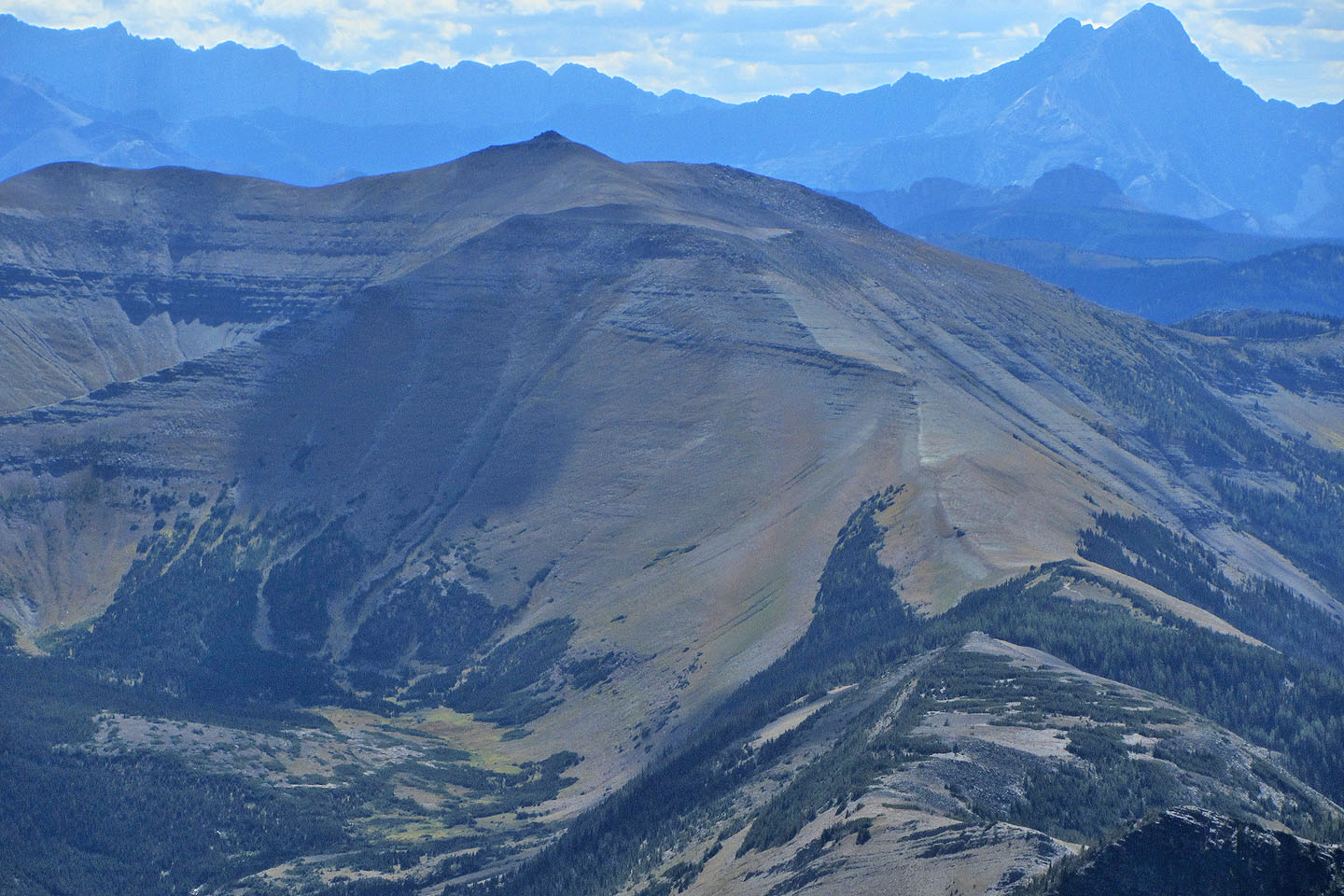
Victoria Ridge is southwest
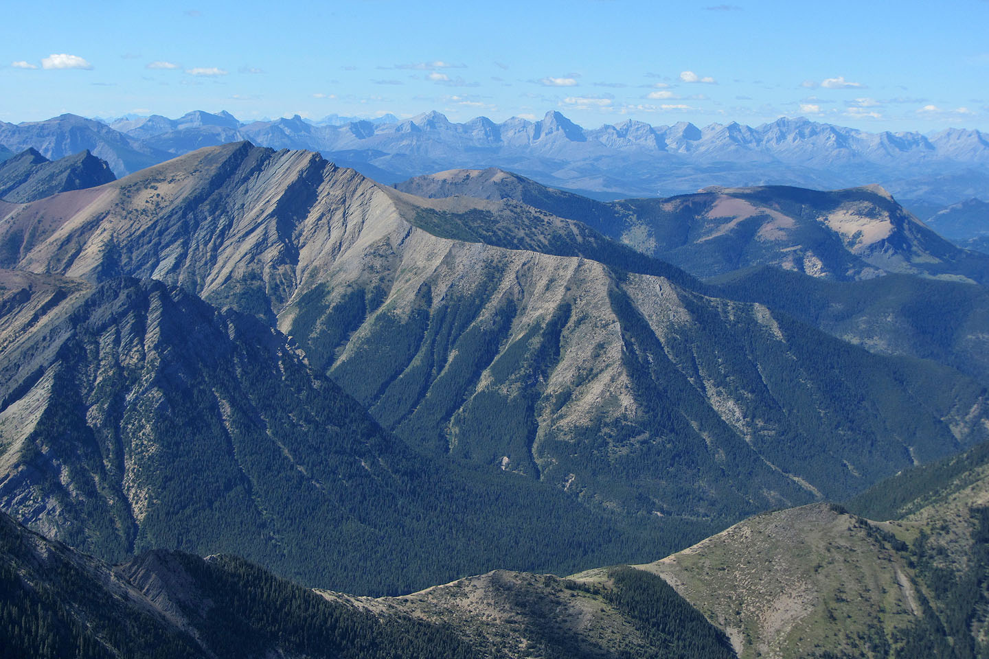
Mount Gladstone and Table Mountain
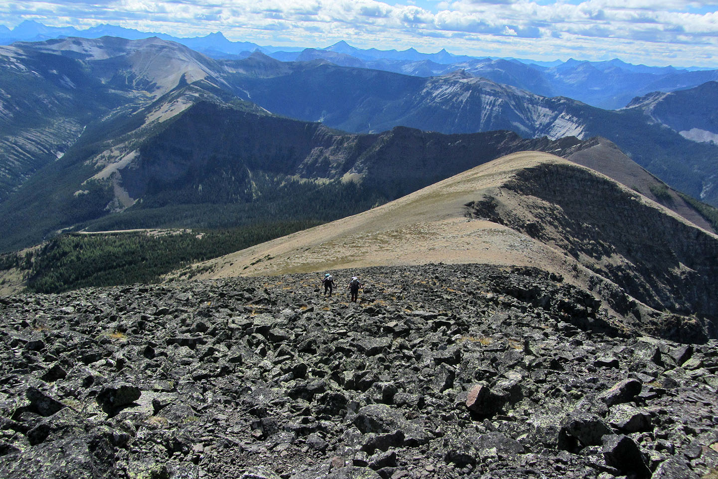
Starting back down
Back on the plateau. Pincher Ridge on the left.
Going back down the corridor
Back on the trail
Back on the road but we faced going over the hill on the right
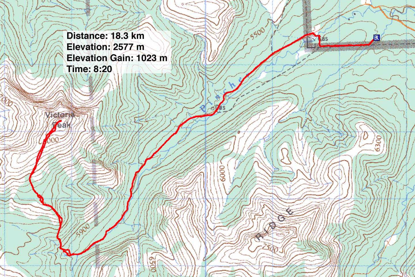 82 G/8 Beaver Mines