bobspirko.ca | Home | Canada Trips | US Trips | Hiking | Snowshoeing | MAP | About
Numa Mountain
Kootenay National Park, B.C.
August 8, 2009
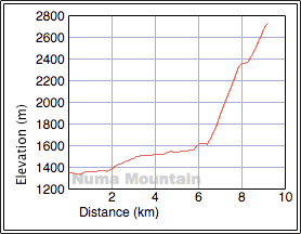
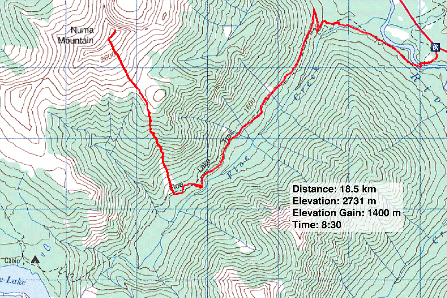
Distance: 18.5 km (11.5)
Cumulative Elevation Gain: 1435 m (4708 ft)
Numa Mountain is usually ascended from Floe Lake, which makes for a long day unless one is camping there. But having been to Floe Lake and wanting to avoid the 13 km approach, Dinah and I opted for a more direct route, one we hoped would minimize bushwhacking. We would hike up the Floe Lake Trail for 6 km to an avalanche slope and then head straight to the summit.
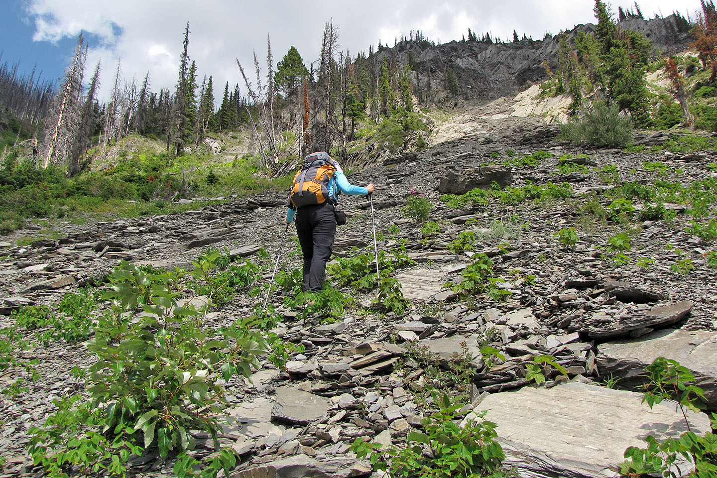
Due to tree cover, there was little to see on the trail, so we were glad to reach the avalanche slope and start climbing. And climb we did, up an unrelenting grade. Routefinding required going straight up, save for bearing left whenever we encountered cliffs. Higher up, we angled left so as not to climb over the knob at 587623, which would add unnecessary elevation gain. A 1500 m climb was enough for us.
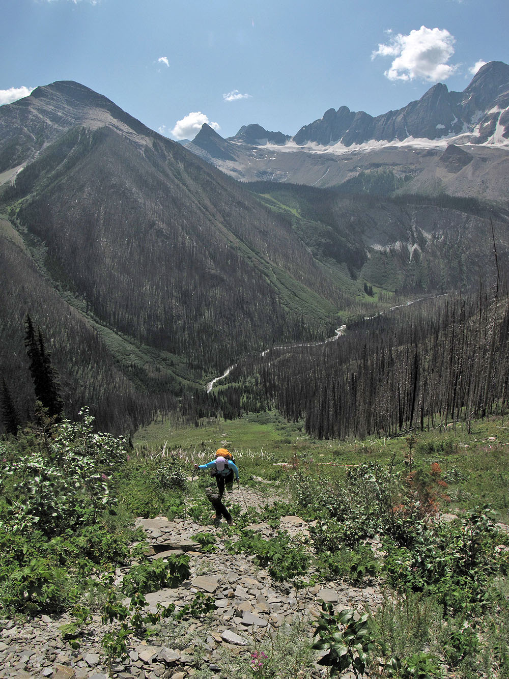
Views were sorely missing on our route. The scenery seen from the avalanche slope was impressive but that soon ended. After topping the slope, there was little to see because of trees and intervening ridges. Even when Numa Mountain came into view, it appeared to be little more than a scree pile.
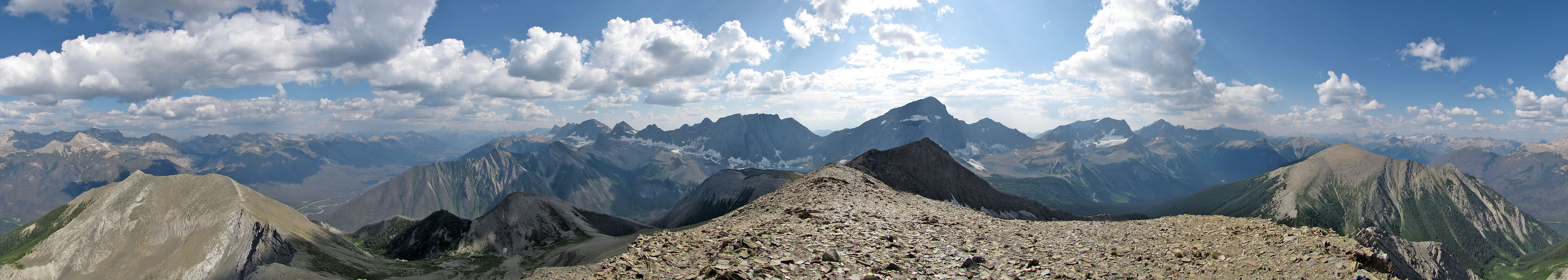
After plodding up the south slopes, we reached the summit. Numa provided a ringside seat to impressive peaks such as Mount Ball and Foster Peak, but unfortunately, haze and clouds dimmed the scenery. After a short stay, we returned the same way we came up.
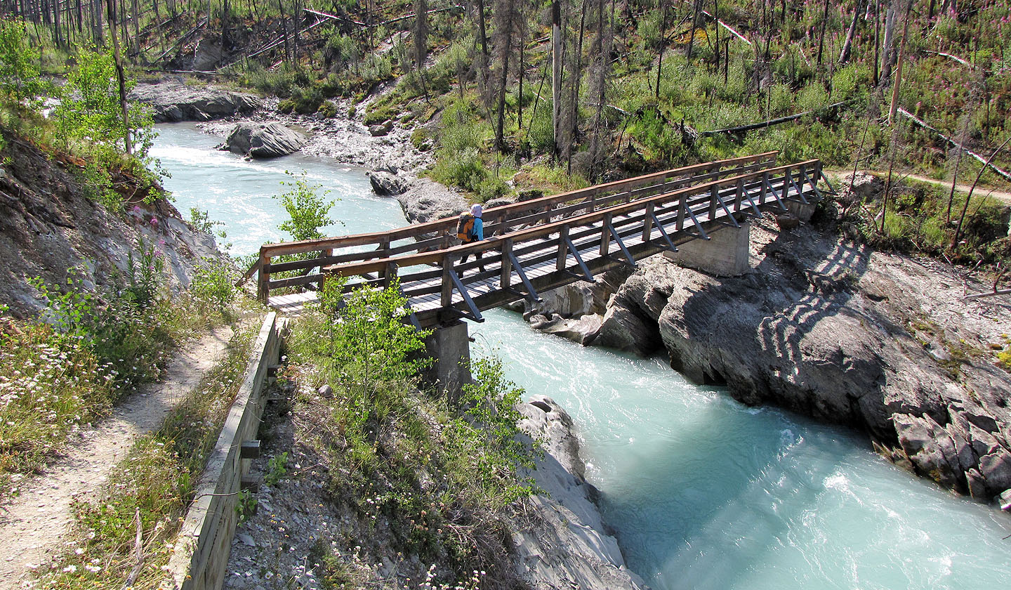
A few minutes into the trip, we crossed Vermillion River
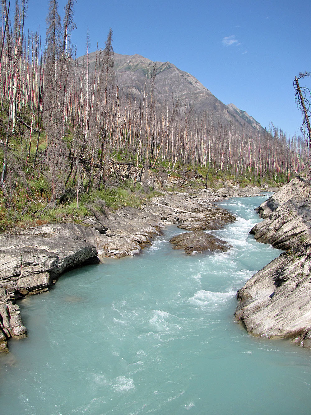
View of the river from the bridge
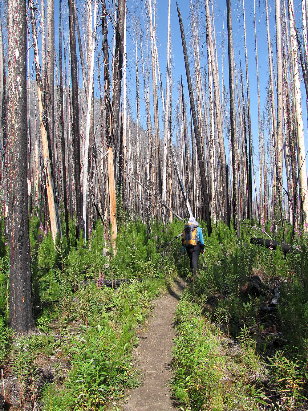
Floe Lake Trail runs through a dead forest
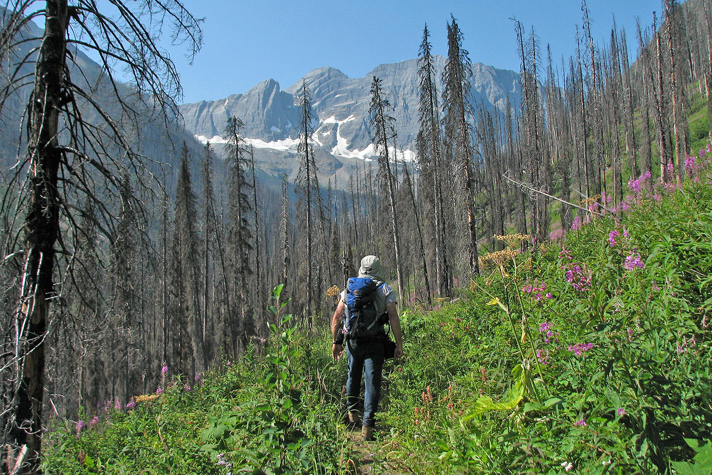
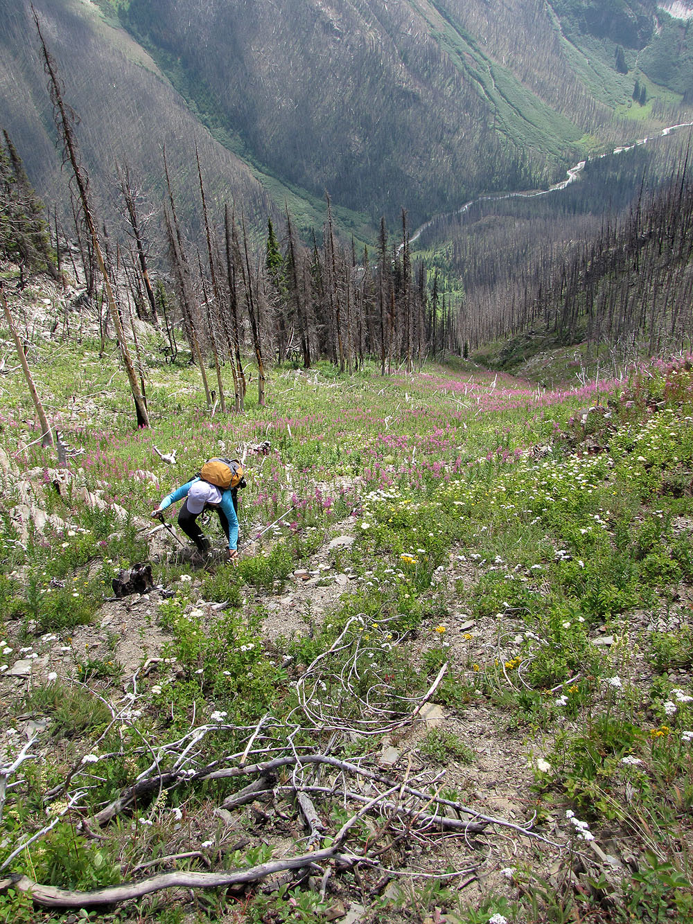
We start to cross lush meadows
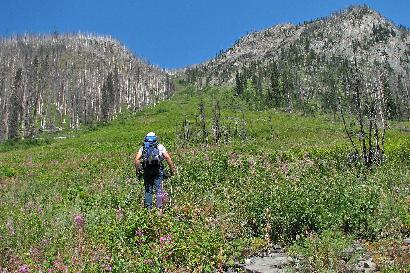
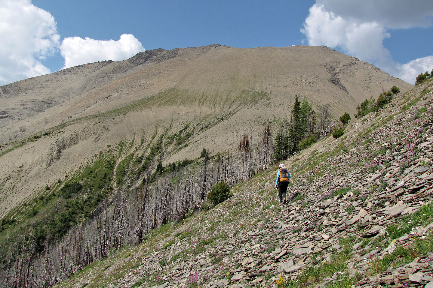
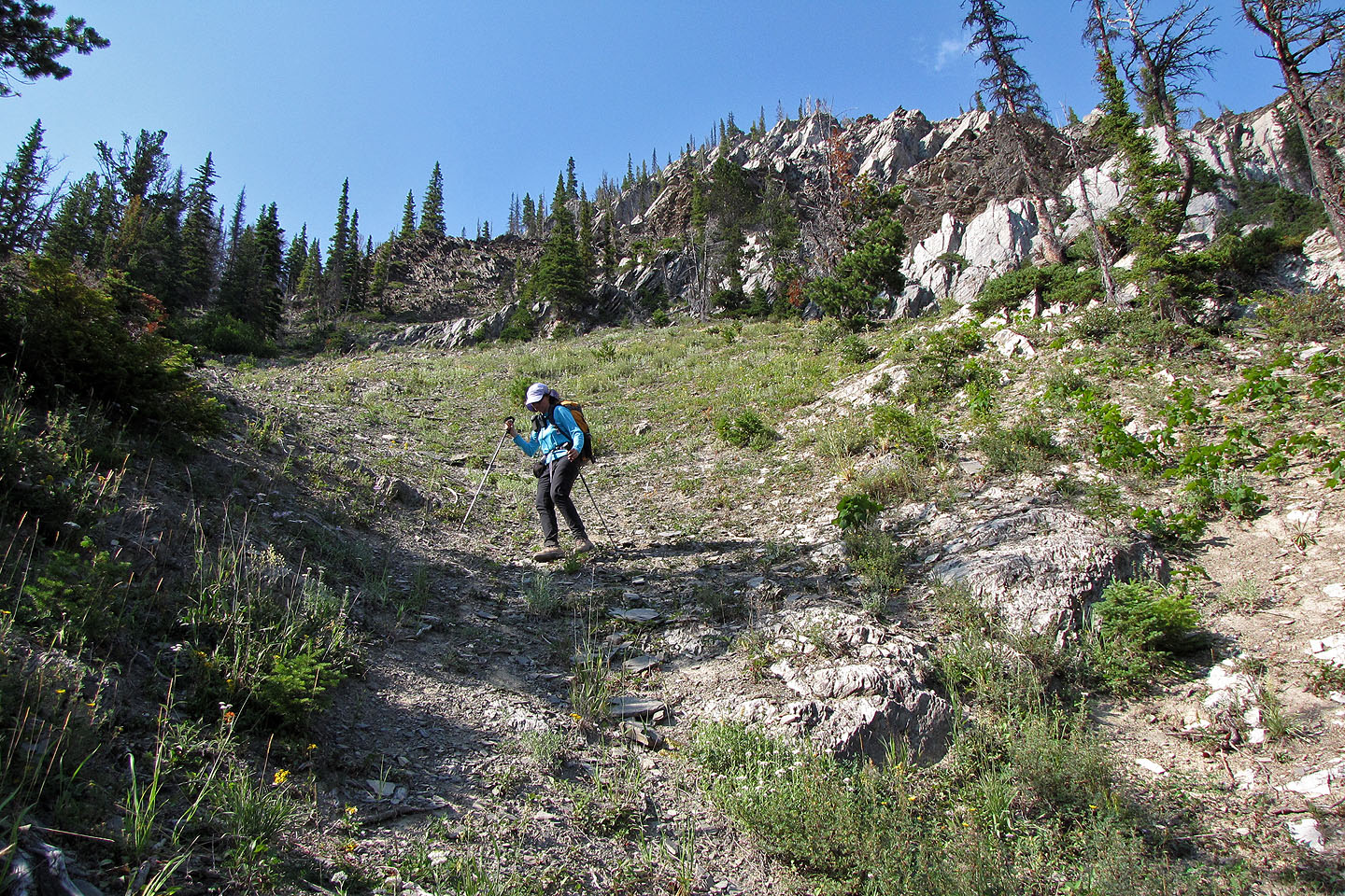
Looking up the ascent avalanche slope
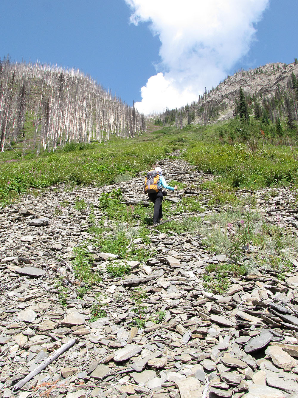
We made up the slope
Partway up, the trail lies far below in the trees
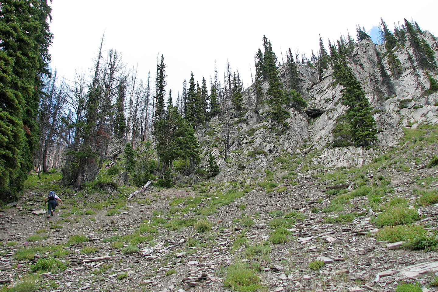
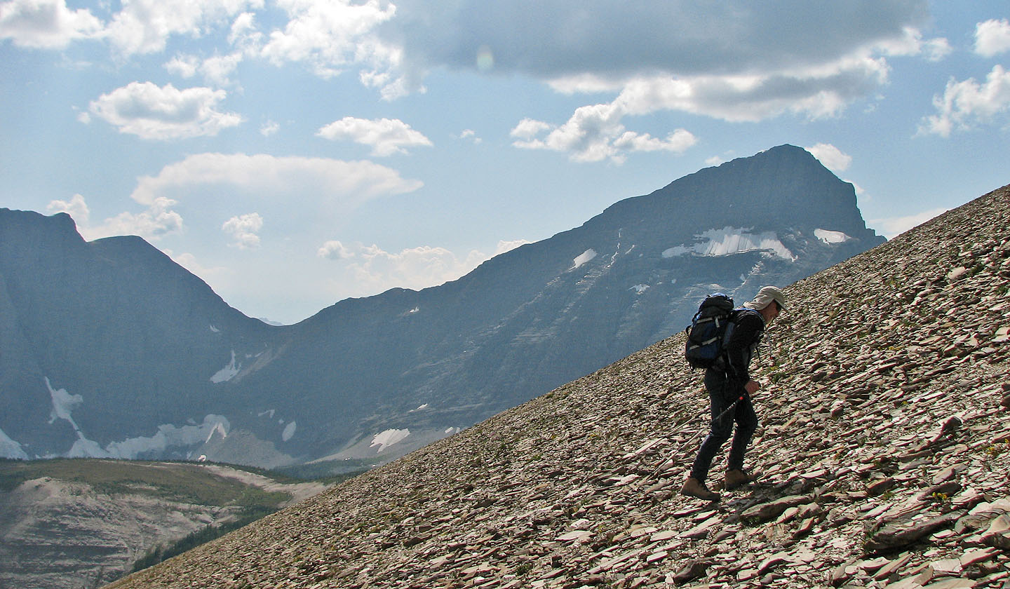
We kept left before reaching the cliffs
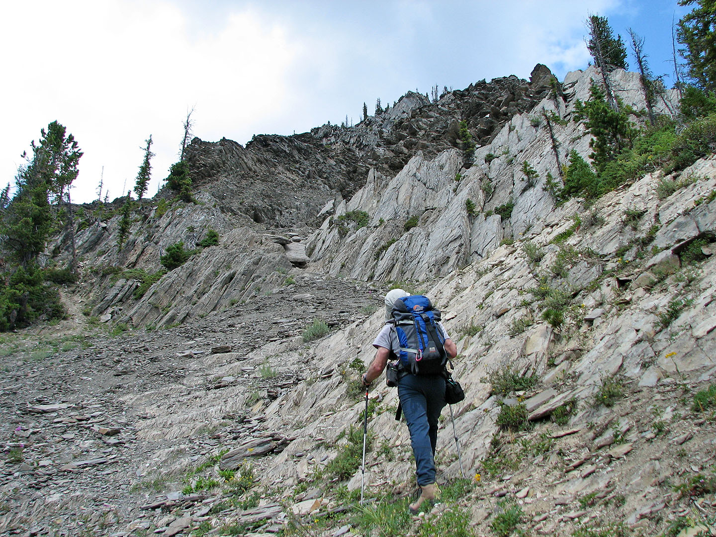
We headed left below the cliffs
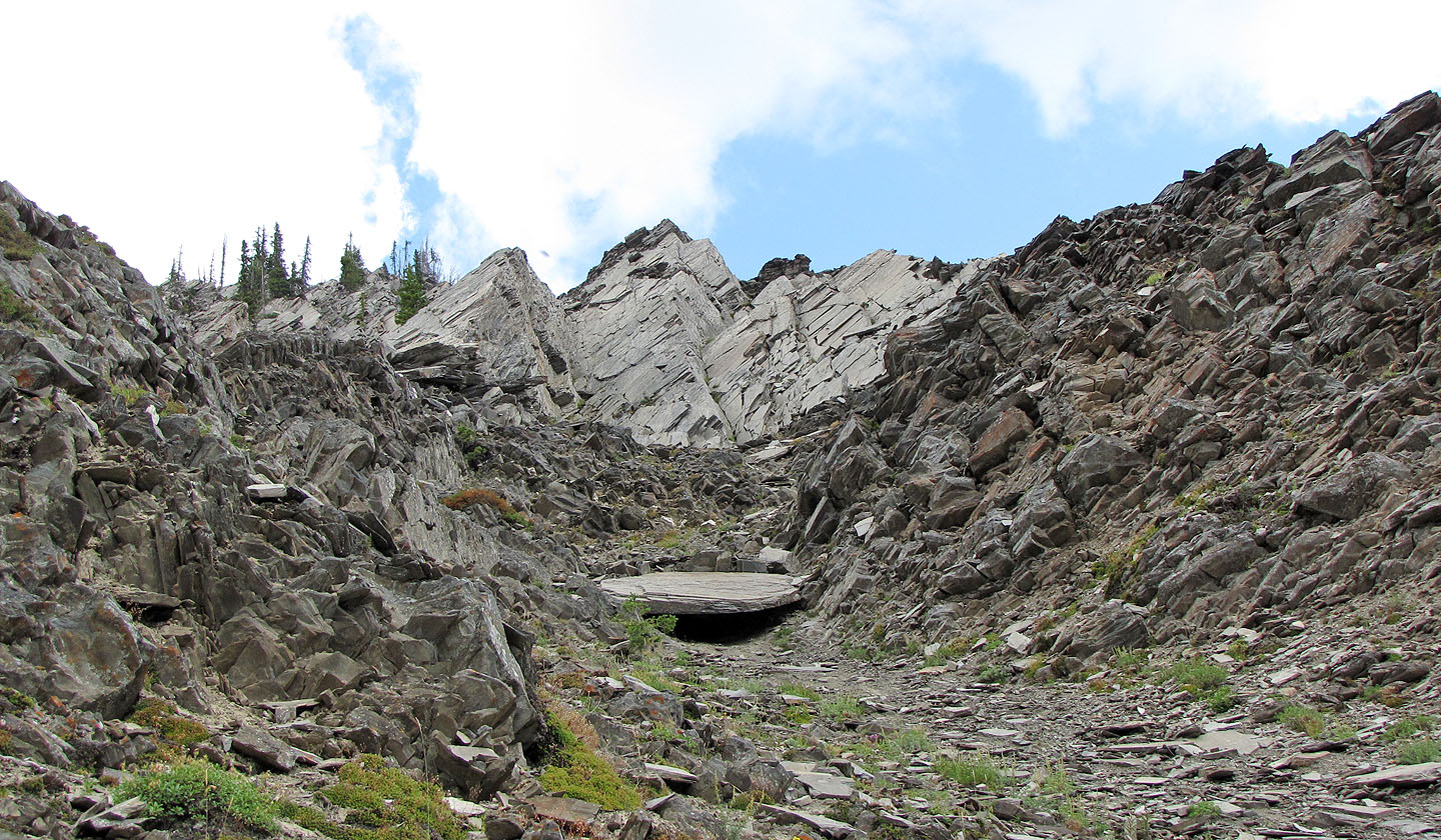
Had we the time and energy, it would have been fun to explore these rocks
We bypassed more cliffs and went into a sparsely treed slope
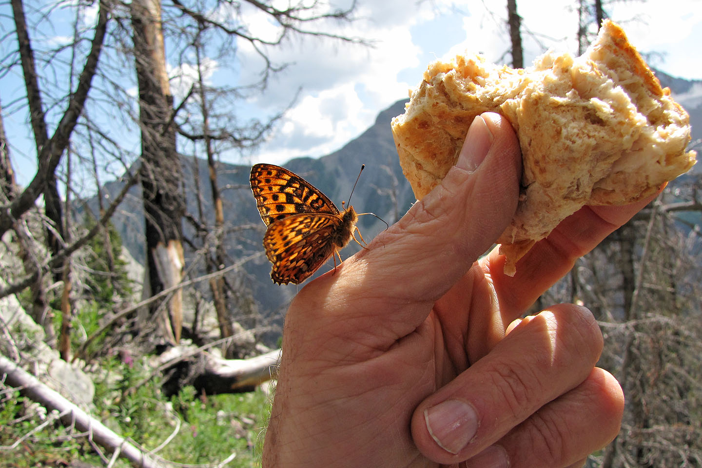
A butterfly (meadow fritillary) joined us for lunch (mouse over for another view)
After our respite, we broke out onto another avalanche slope
Not much to see ahead. We soon started angling left to avoid ascending the knob.
Finally we saw Numa Mountain
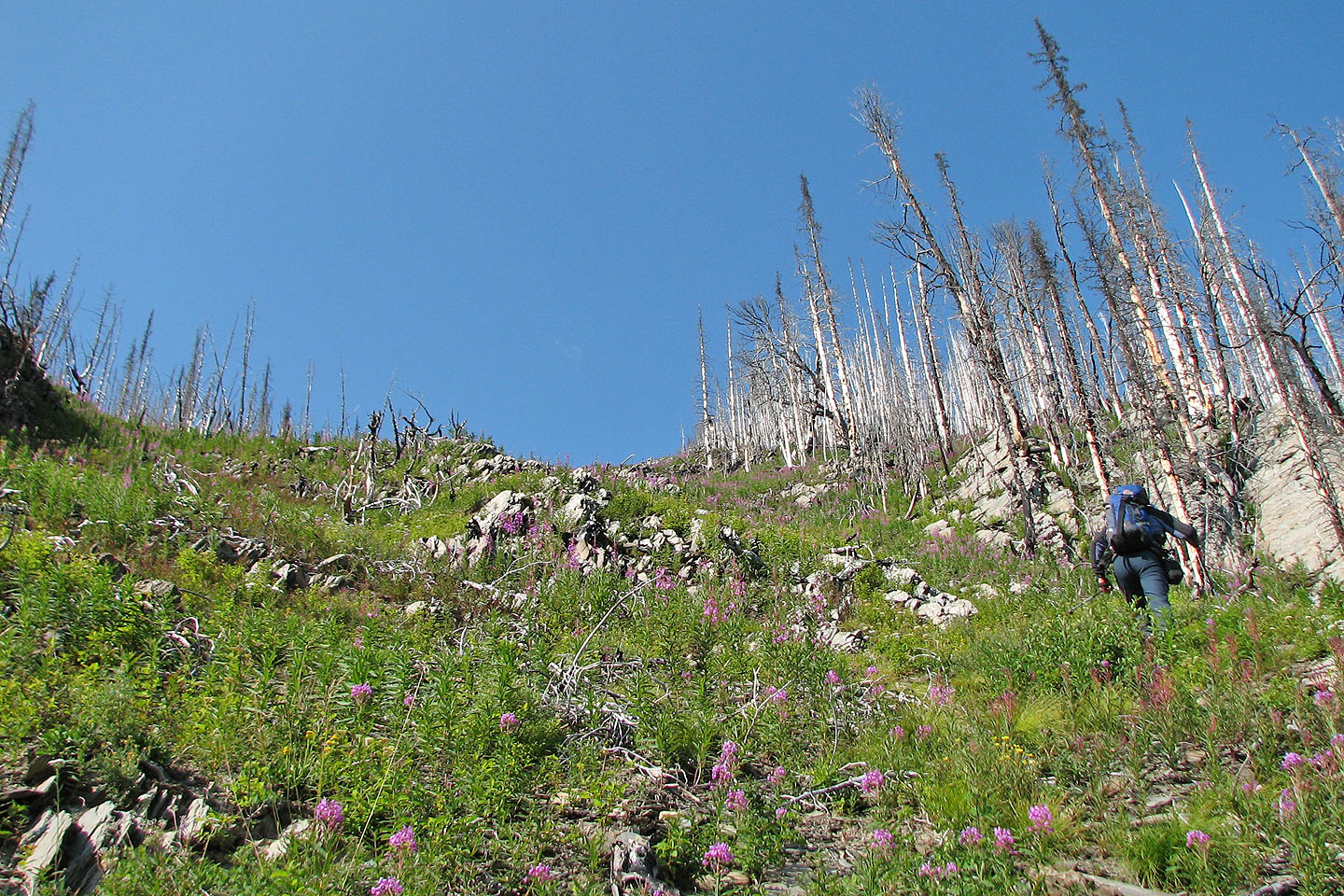
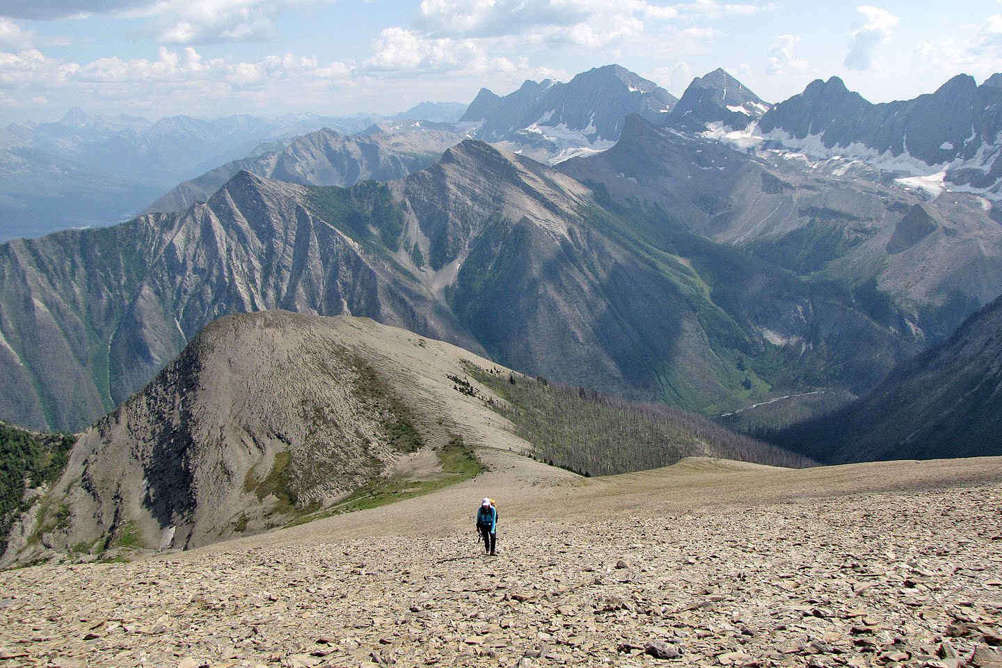
We hiked above the treeline
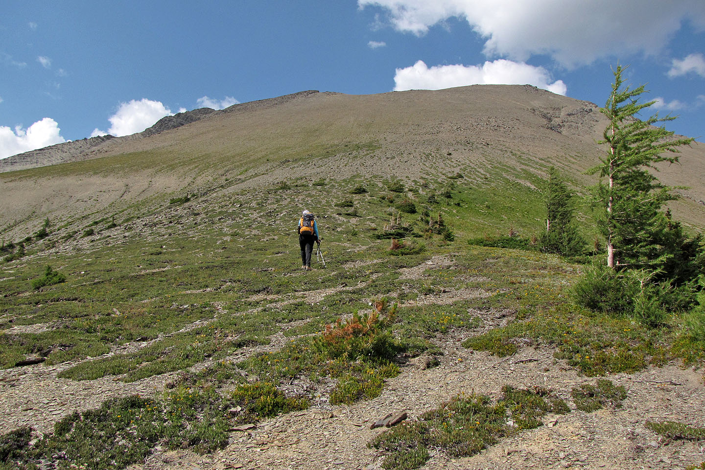
As we got closer, it began to look like a pile of scree!
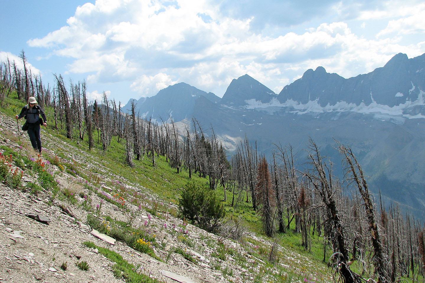
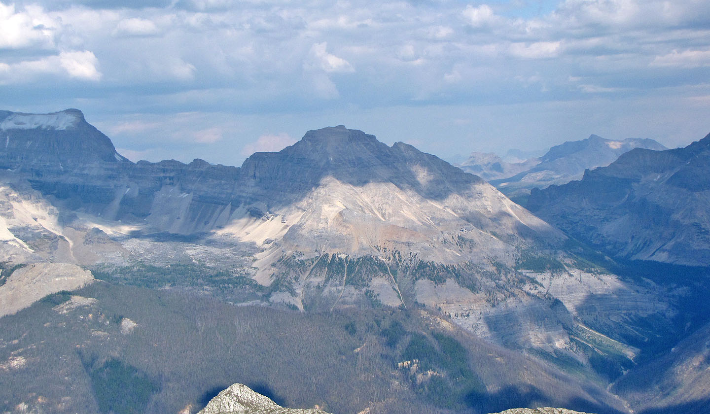
In the background, the south section of The Rockwall
Foster Peak to the southwest
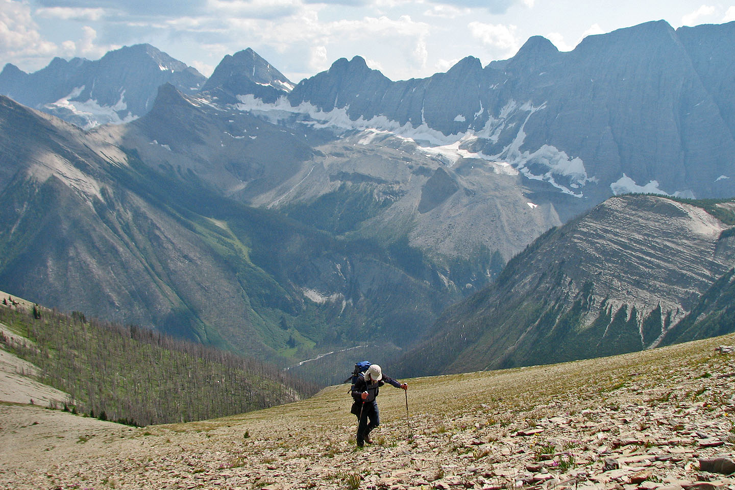
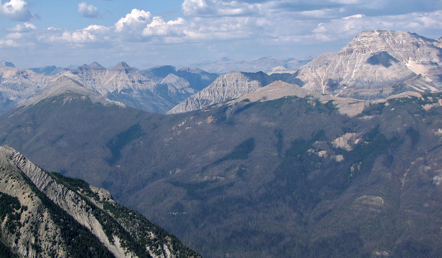
Looking south at the knob which we traversed on the west side
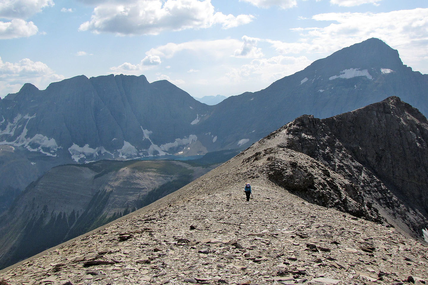
The summit ridge. Floe Lake can be seen.
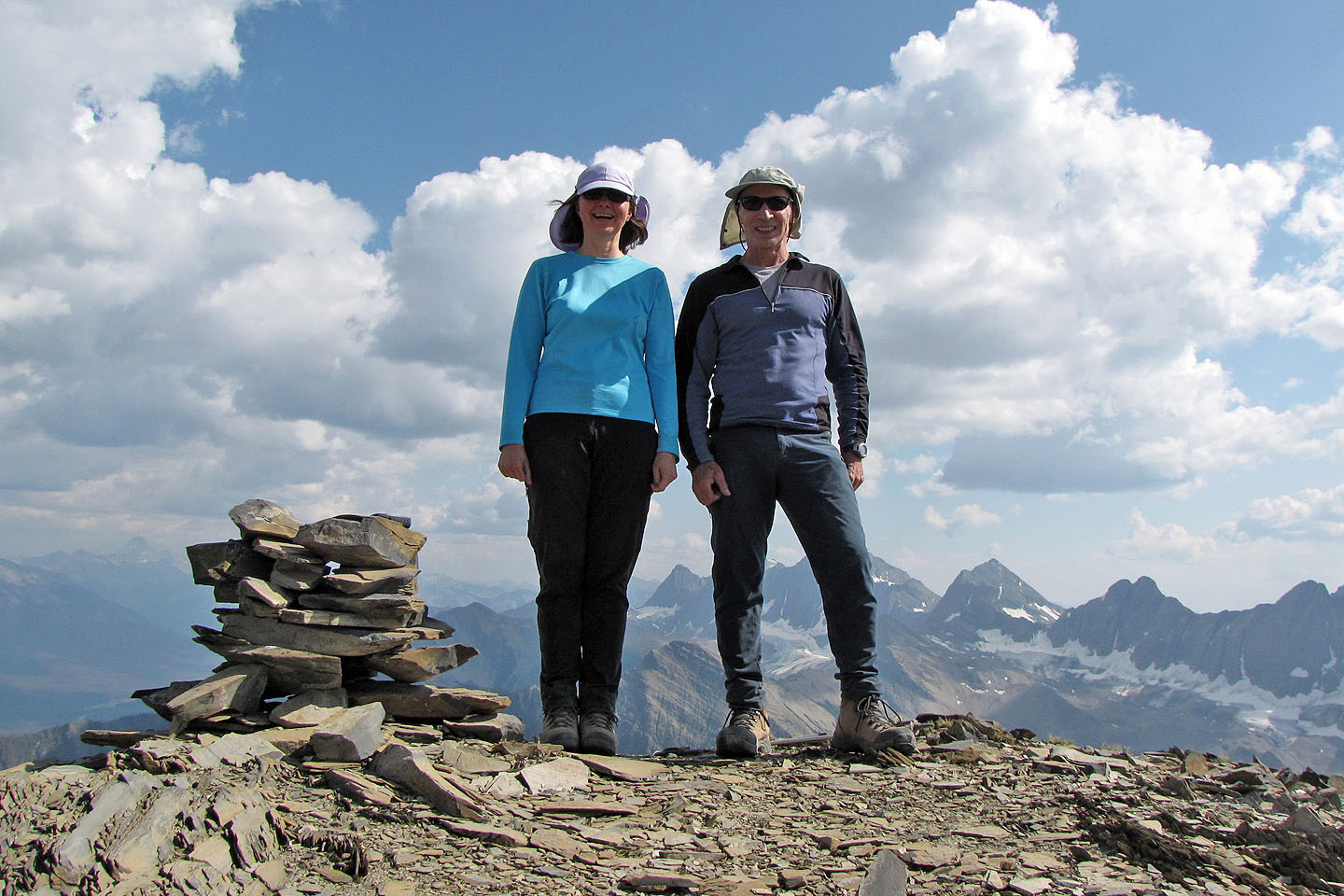
The summit
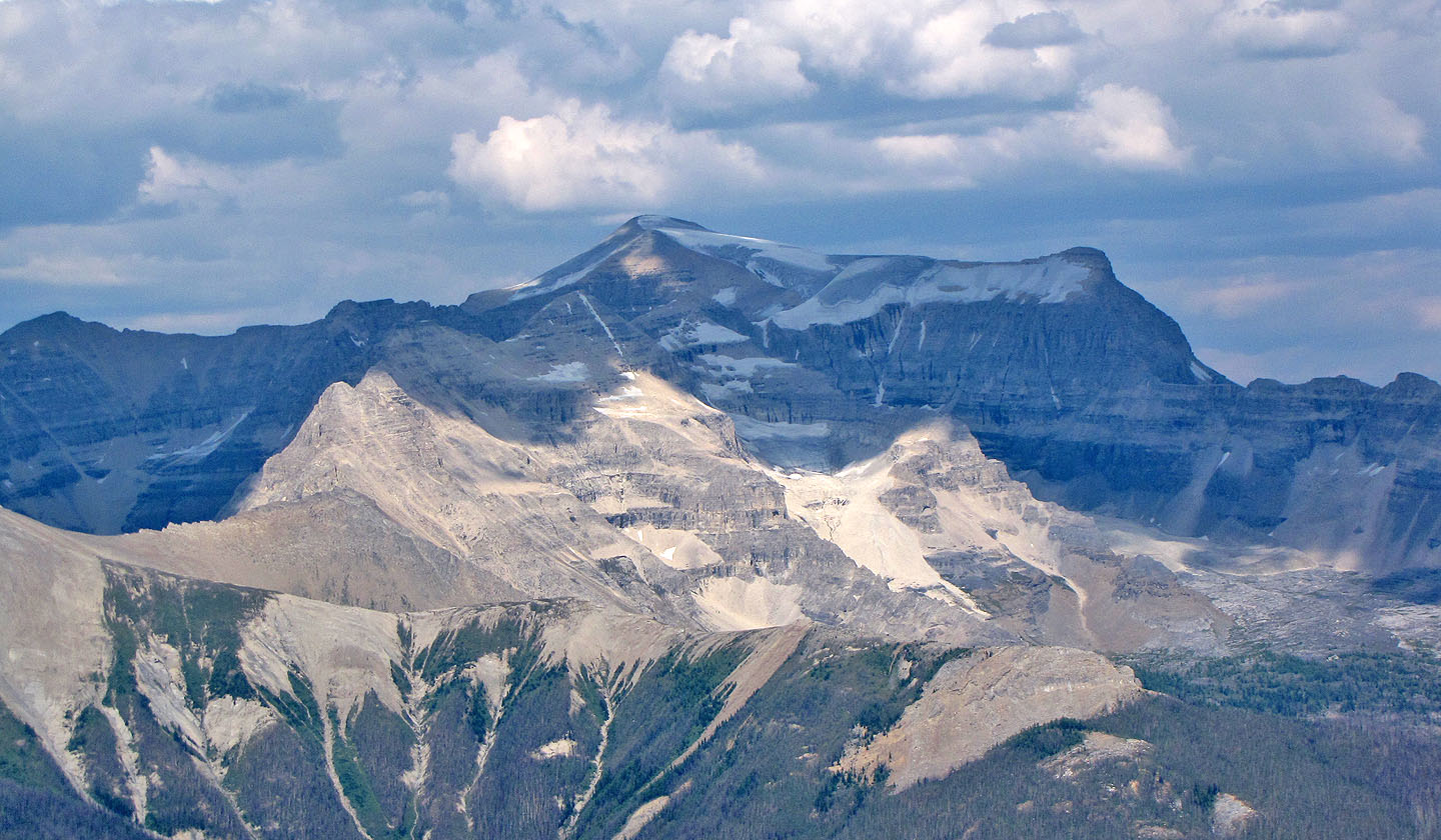
Vermilion Peak and Mount Haffner in the foreground. Stanley Peak on the right.
Mount Ball
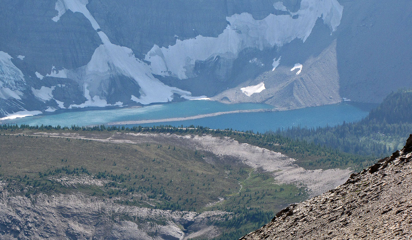
Floe Lake
Heading down
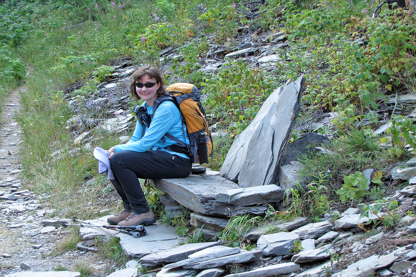
Dinah tries the stone sofa at the foot of the avalanche slope
82 N/1 Mount Goodsir