bobspirko.ca | Home | Canada Trips | US Trips | Hiking | Snowshoeing | MAP | About
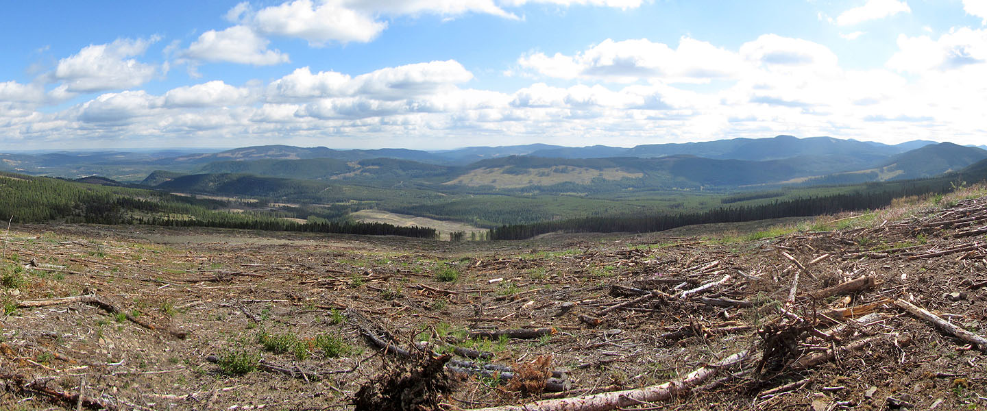
Panorama from Swany's Ridge
Swany’s Ridge and Quirk Ridge
Kananaskis, Alberta
August 27, 2020
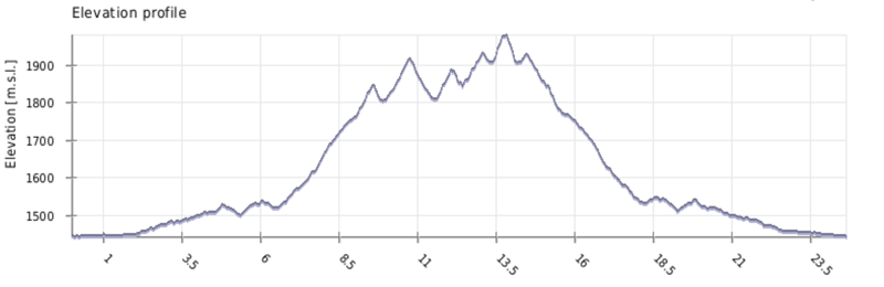
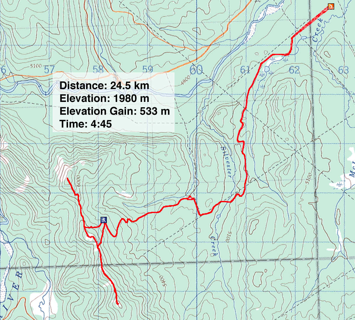
Distance: 24.5 km (15.2 mi)
Cumulative Elevation Gain: 824 m (2703 ft)
When I first considered doing Swany's Ridge and Quirk Ridge, I was rattled to see scads of quads and dirt bikes at the trailhead, the McLean Creek OHV staging area – I had no wish to share roads with so many fast, noisy machines. That was on a weekend years ago, and I put off returning. But when I arrived recently on a Thursday, the parking lot was nearly vacant.
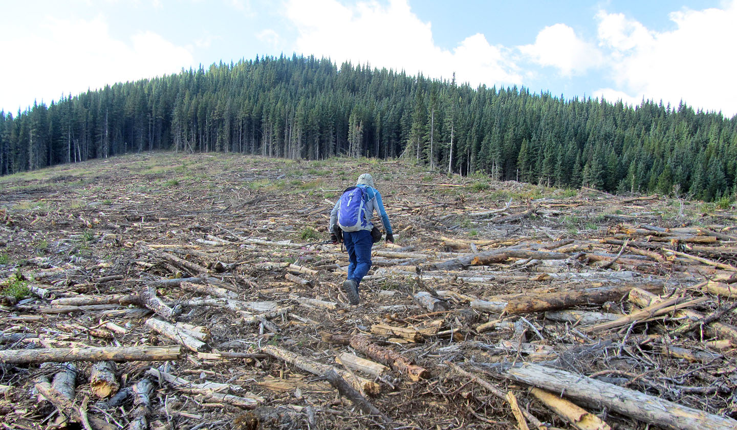
The two peaks lie several kilometres from the trailhead, but back roads put it within reach of a mountain bike. From the parking lot, I hopped on my bike and started up the gentle resource road. I crossed the bridge, kept left at the next intersection, and then right. I came to the bottom of a rough, logging road that runs through a beautiful cutblock (joking of course; they are all ugly). Nine kilometres after starting, I reached the end of the road, ditched my bike and set off across the logging wasteland to the forest edge. My first objective was Swany's Ridge.
Swany's Ridge and Quirk Ridge sit on opposite ends of a shared ridge. They are also connected by an ATV trail that follows the ridge. Reach the trail and hike north to Swany's or south to Quirk.
I had planned to take a shallow angle to hit the trail near the col to Swany's, but forest trails were too beguiling; I took advantage of them and soon reached the trail. I followed the path as it dropped 40 m before climbing 100 m to Swany's Ridge. After a break on the pleasant, half-bare summit, I headed to Quirk Ridge nearly 3 km away.
Even following a trail, it's not a cakewalk. Dirt bikers must love the roller-coaster ridge, but hikers not so much. The ups and downs pushed my total elevation gain to 1000 m, not to mention my patience. I reached the summit to find, it too, was half bare, but Quirk does provide a different view than Swany's.
After spending a few minutes on the top, I started back down the trail. No way was I going to follow the roller coaster back very far. At a low point, I left the trail and made a beeline along thinly-forested slopes back to my bike. My ride back to the parking lot was swift and exhilarating.
Postscript: Since doing this trip, nearly 2 km of logging road has been reclaimed, shortening the bike ride and lengthening the hike. See Sonny Bou's report.
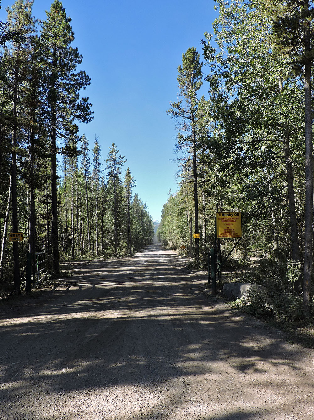
The resource road begins with a long straightaway
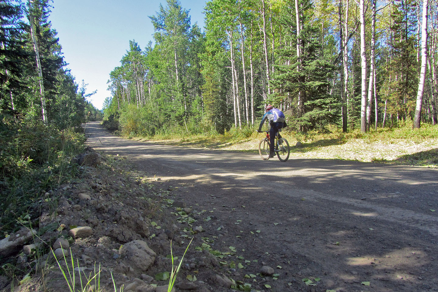
Cycling up the road
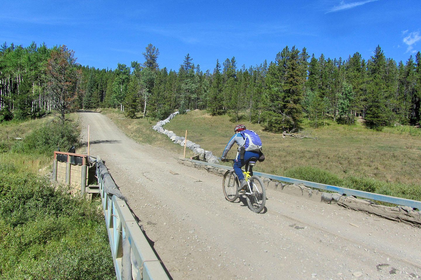
Cycling across the bridge
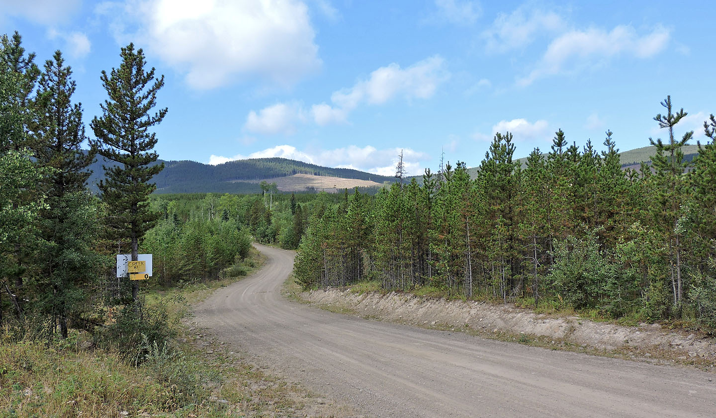
After taking the left fork after the bridge, I could see the cutblock where I would start my hike. Swany's Ridge is barely visible behind trees, second bump from the left.
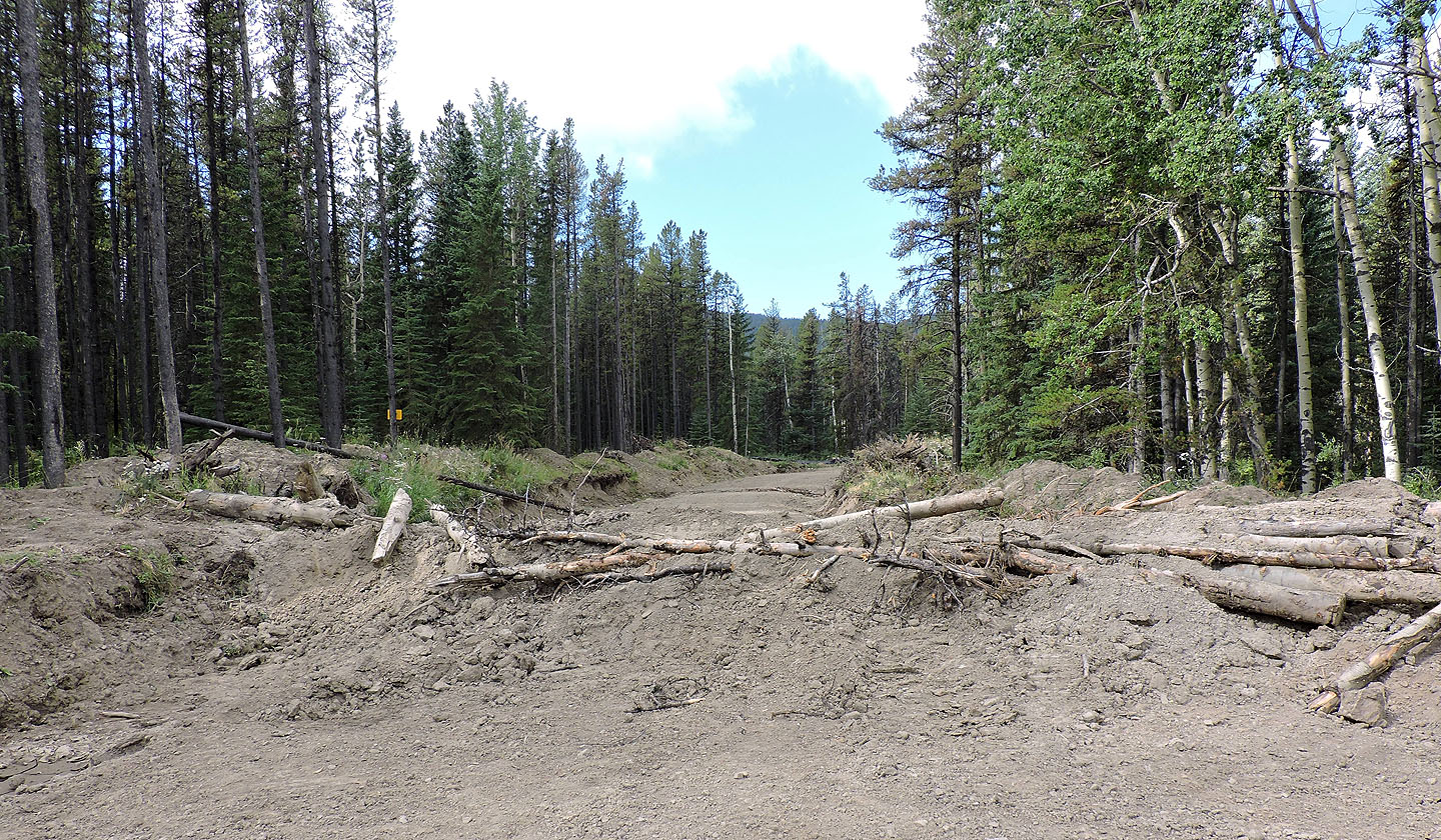
A berm blocks the logging road to the cutblock. The easiest way around is a few dozen metres back up the road to a cattle trail.
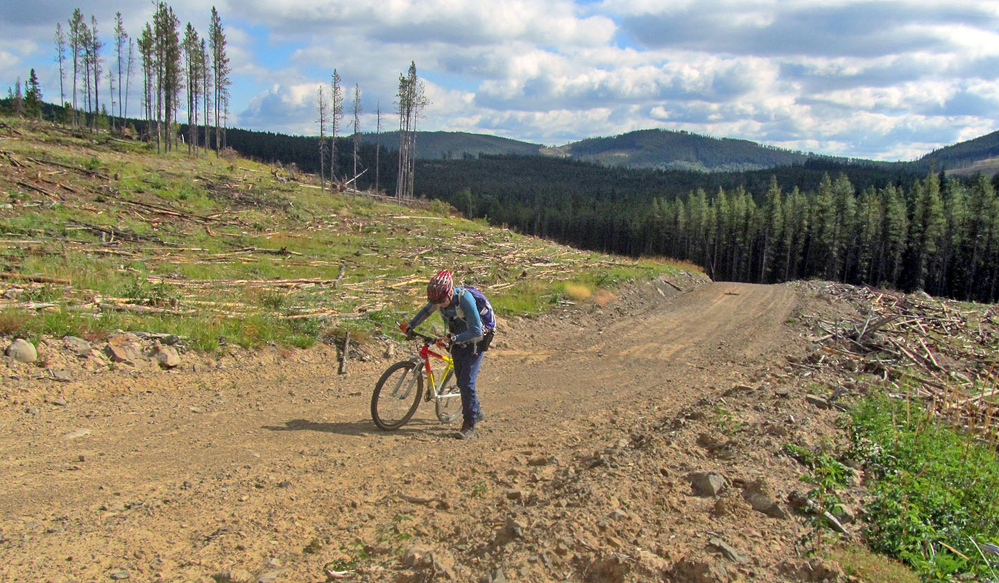
I pushed my bike up the steeper sections
Looking back from where I started hiking. It's not a pretty sight.
I headed to the trees on my right
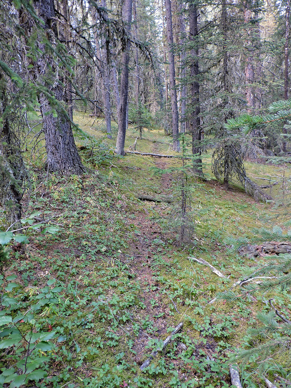
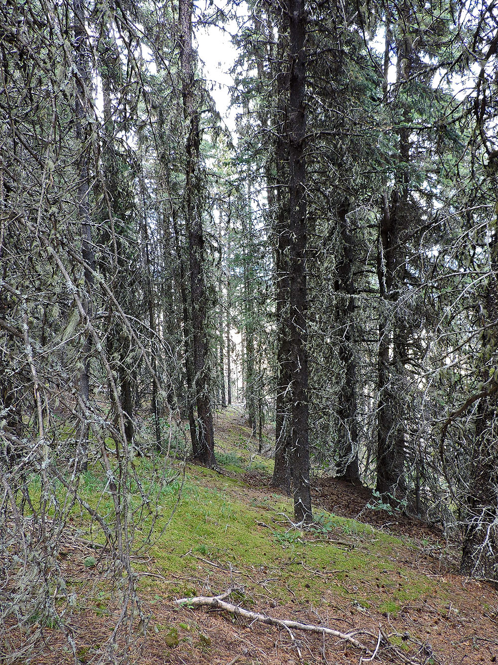
I had planned to take a shallower angle to the ridge, but how can I resist trails like this?
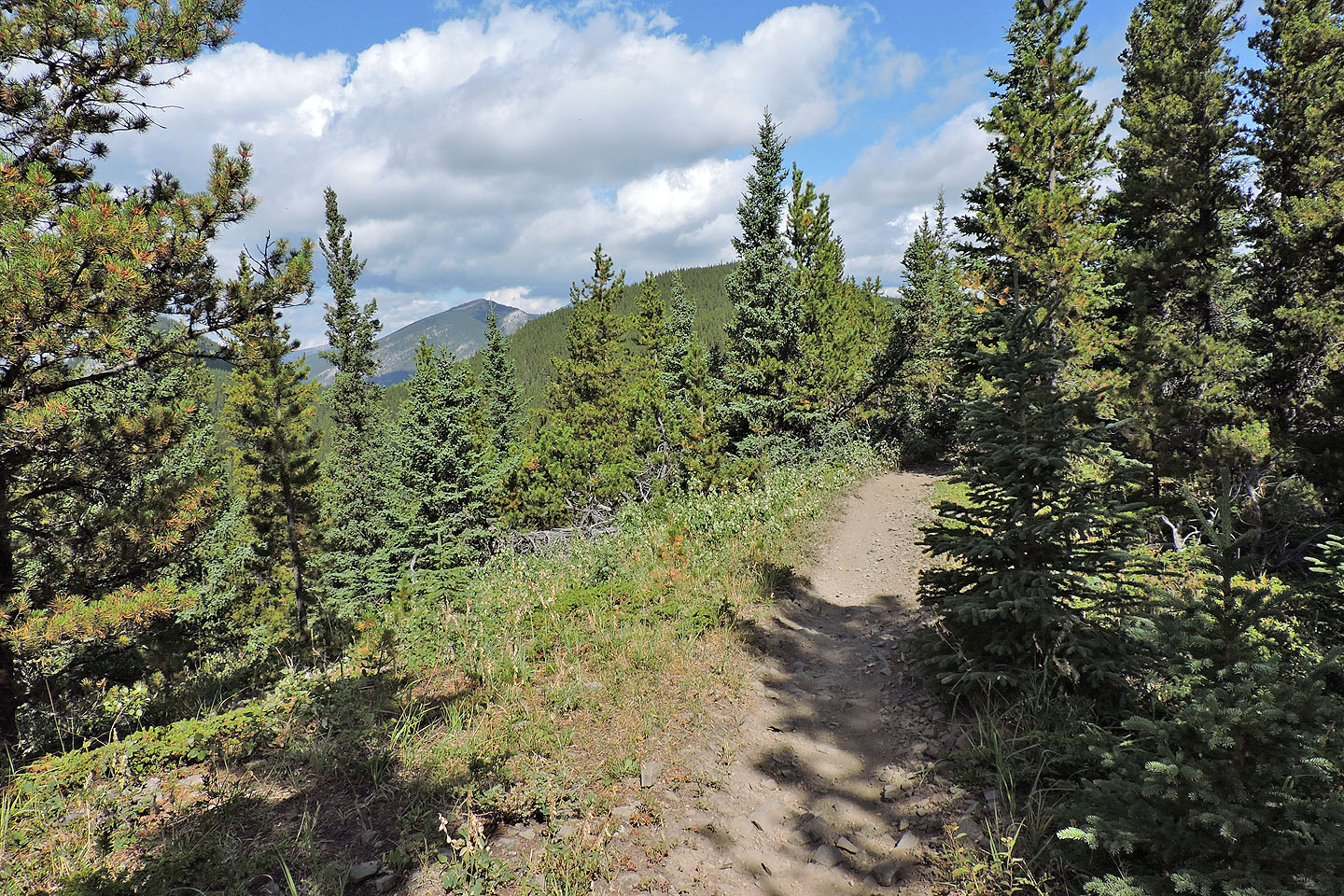
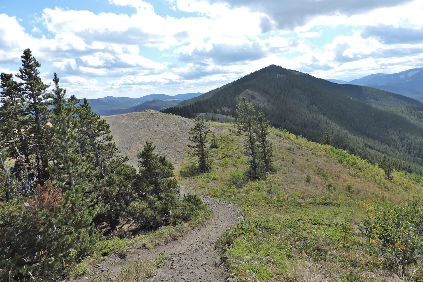
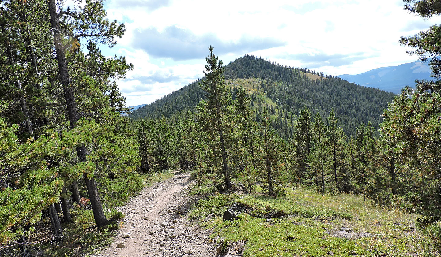
On the ATV trail with Swany's Ridge ahead
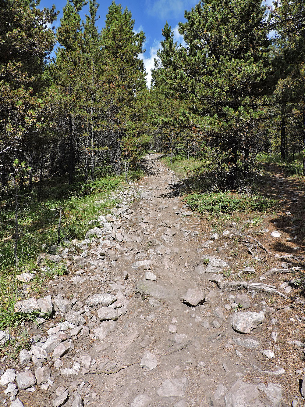
The trail becomes rocky before reaching the summit
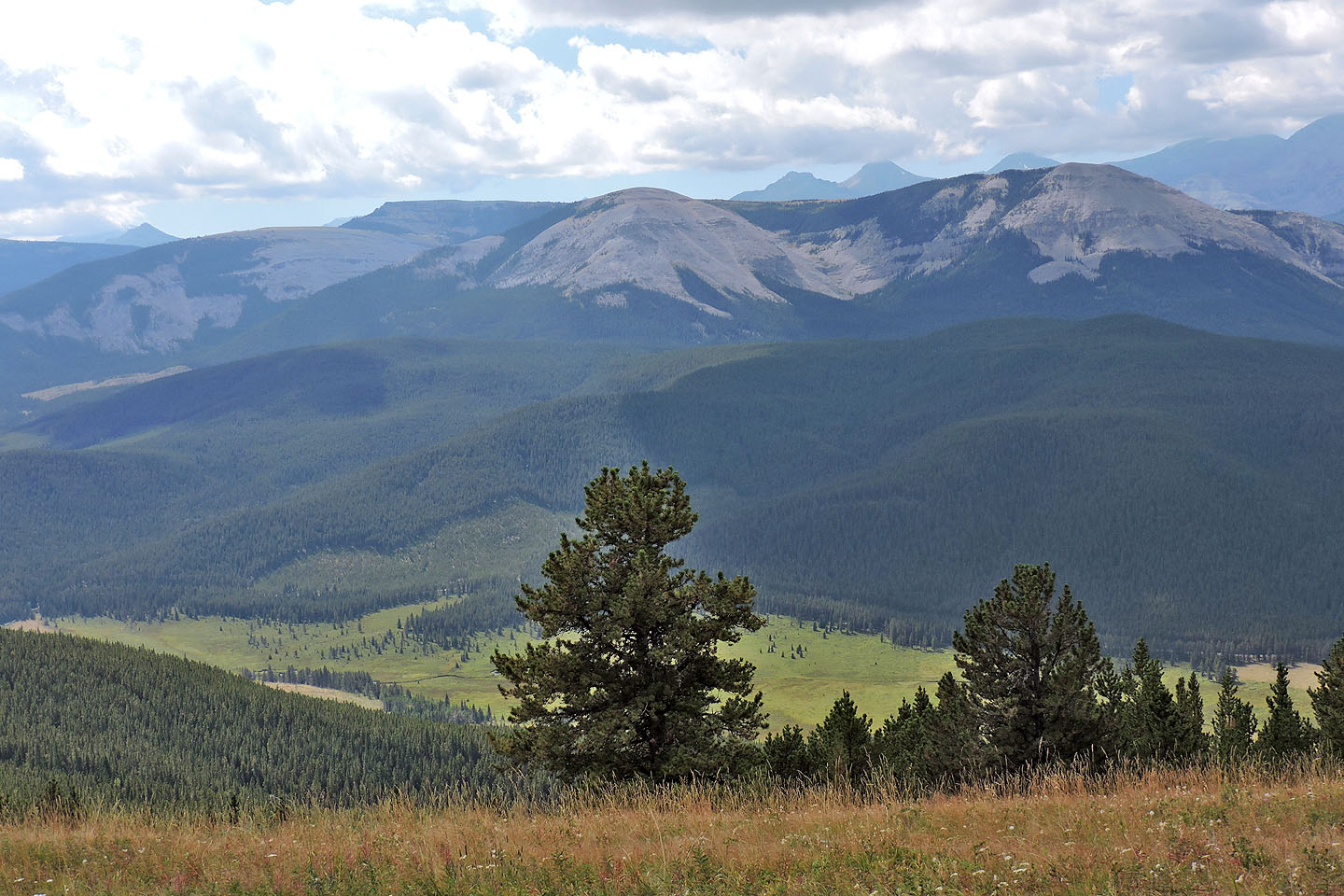
On the summit of Swany's Ridge
Îyarhe Îpan is within easy reach, but I climbed it years ago by crossing Elbow River
Vent Ridge lies in the foreground with Prairie Mountain behind
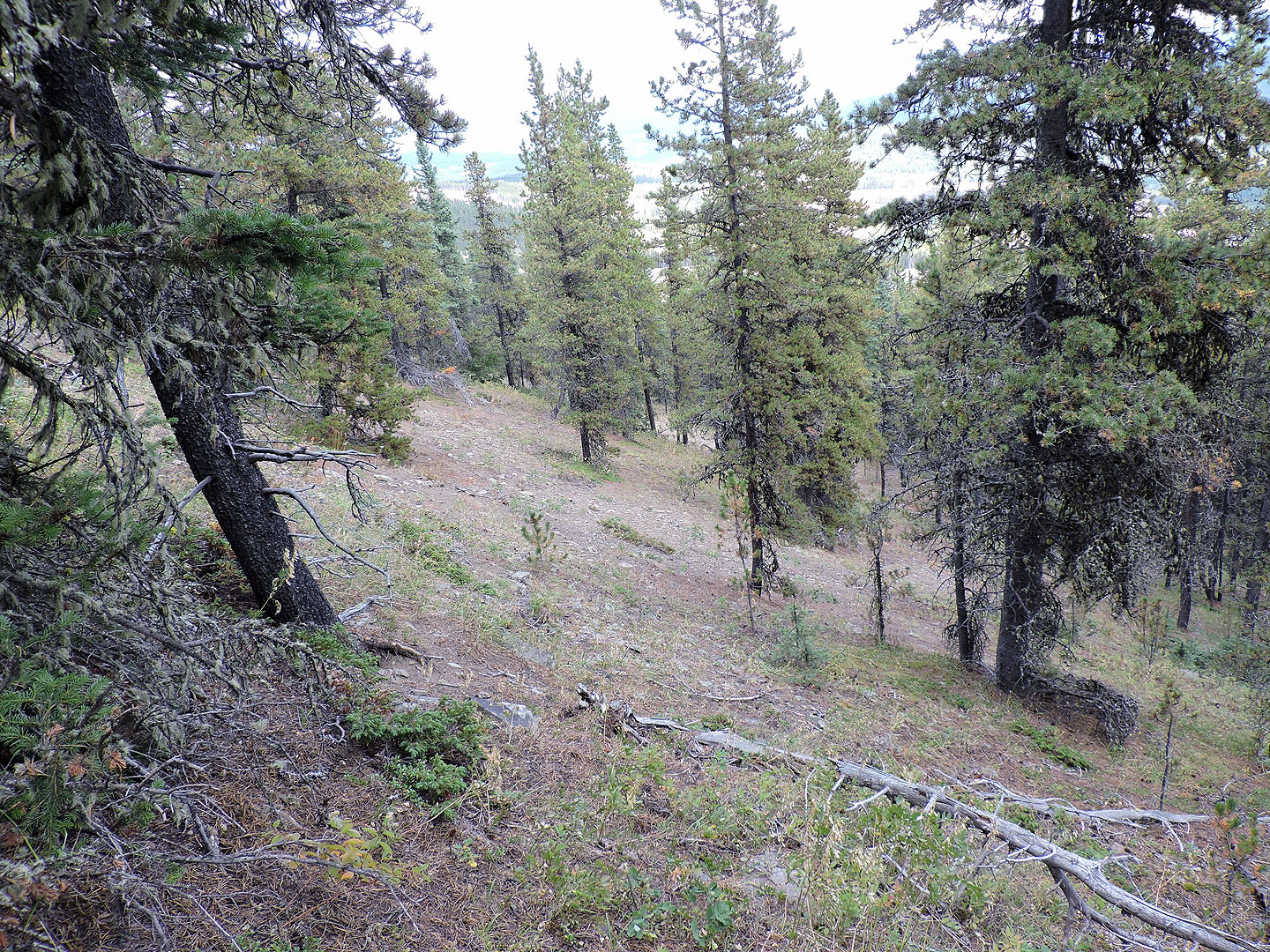
After hiking along the ATV trail through trees, I reached a clearing
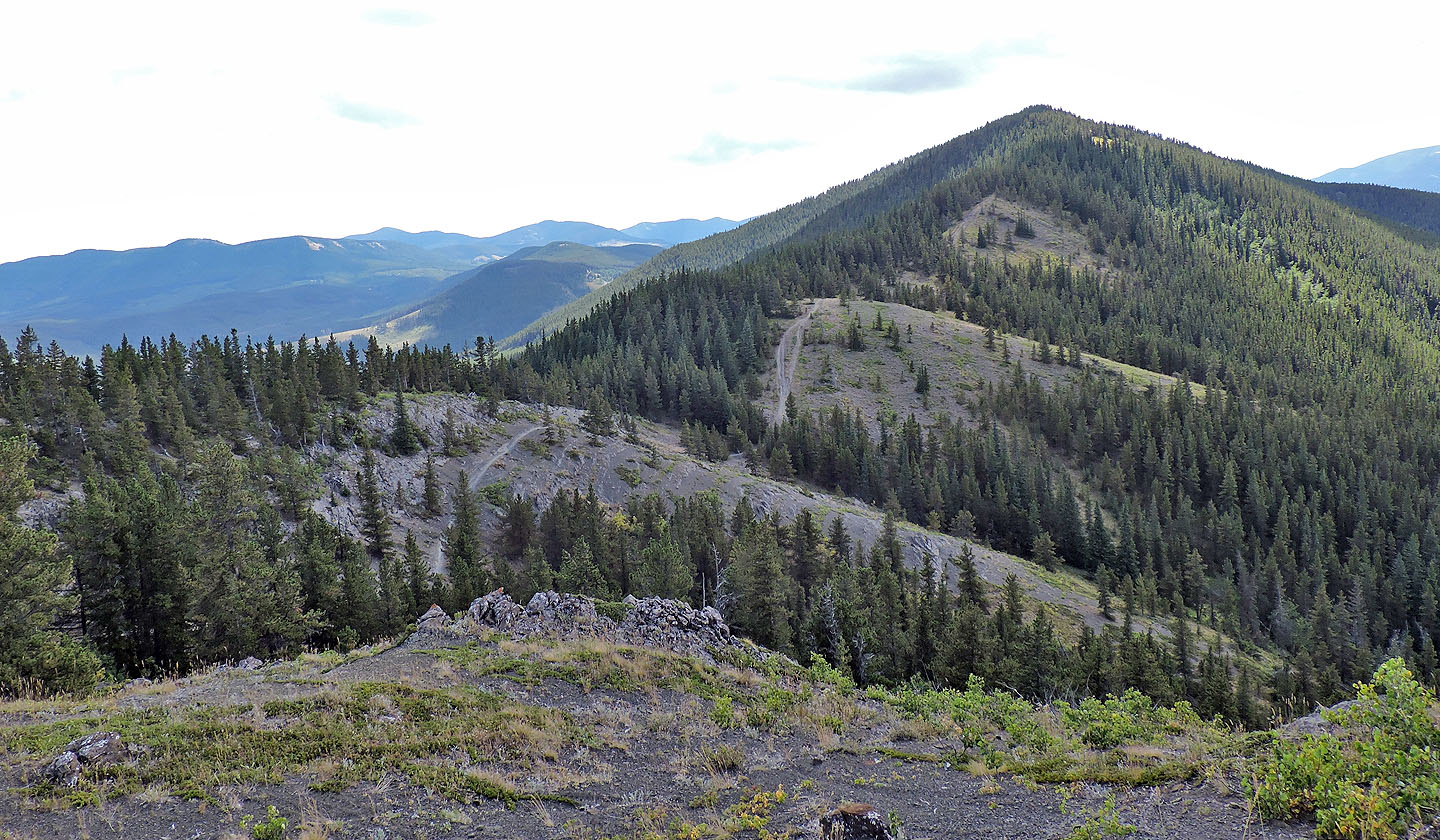
It's not an encouraging sight!
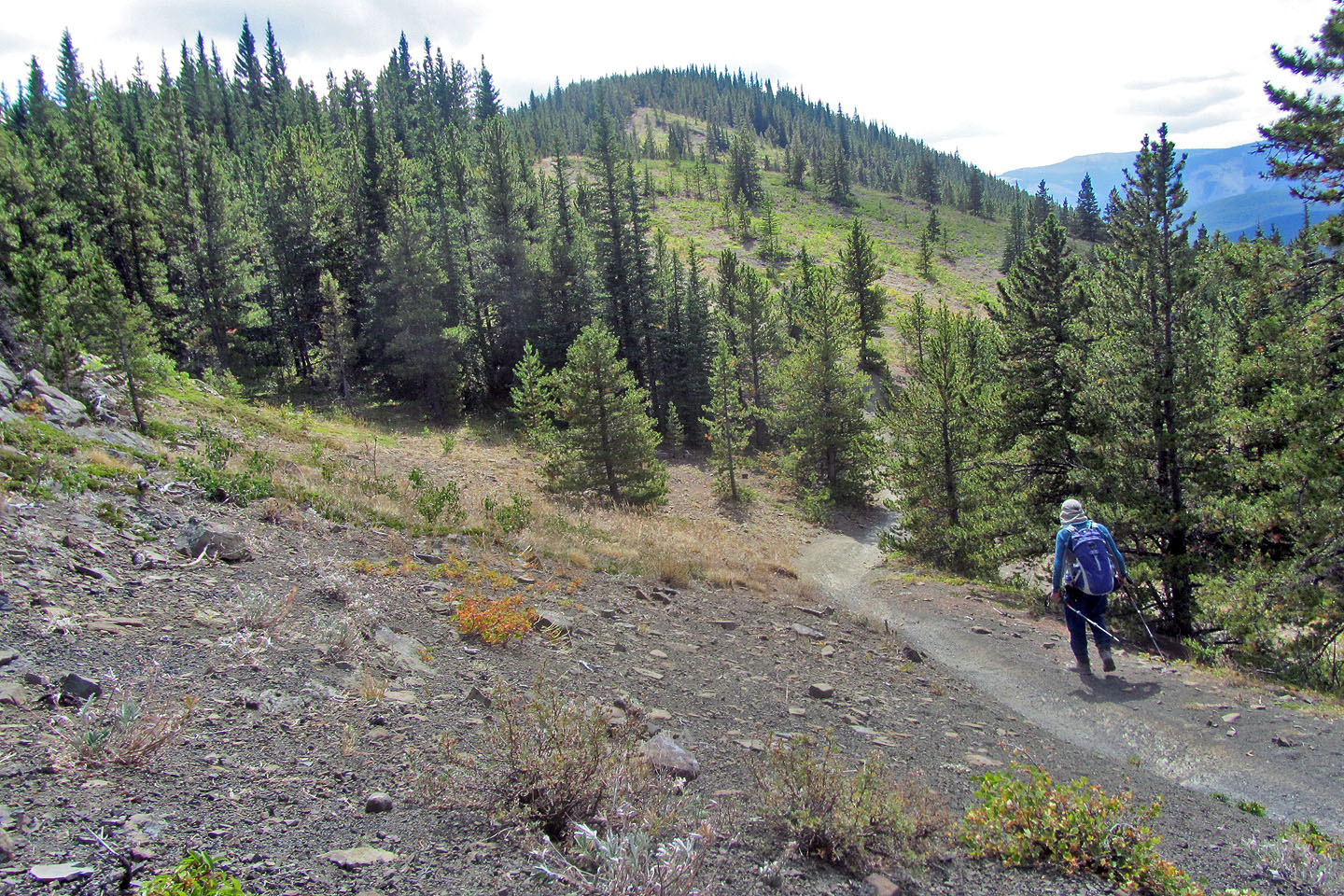
I lost 40 m on the first drop
Looking back after regaining lost elevation. That's Îyarhe Îpan poking up in the background.
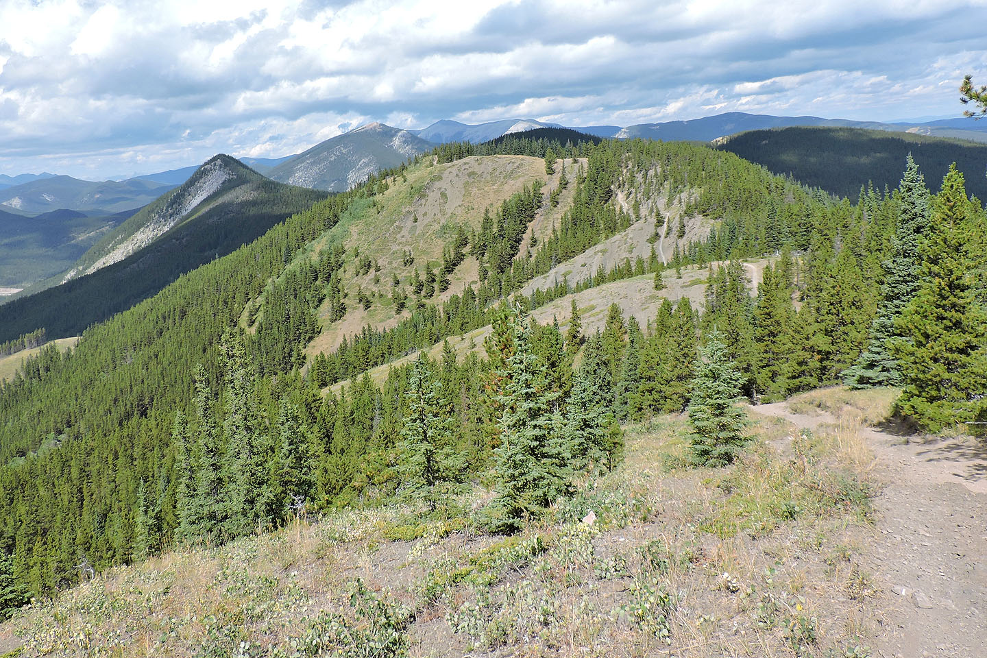
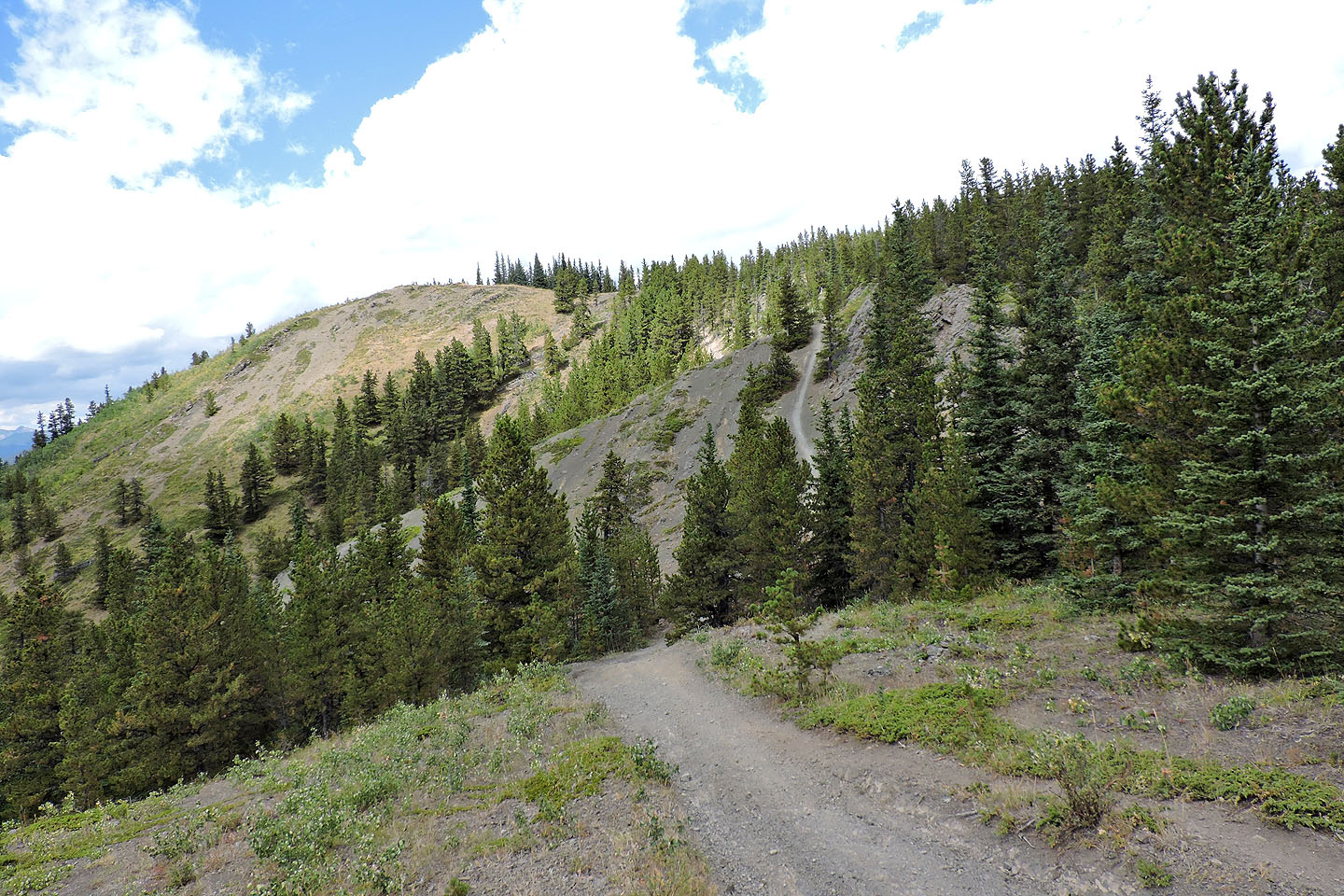
Finally the summit of Quirk appears ahead
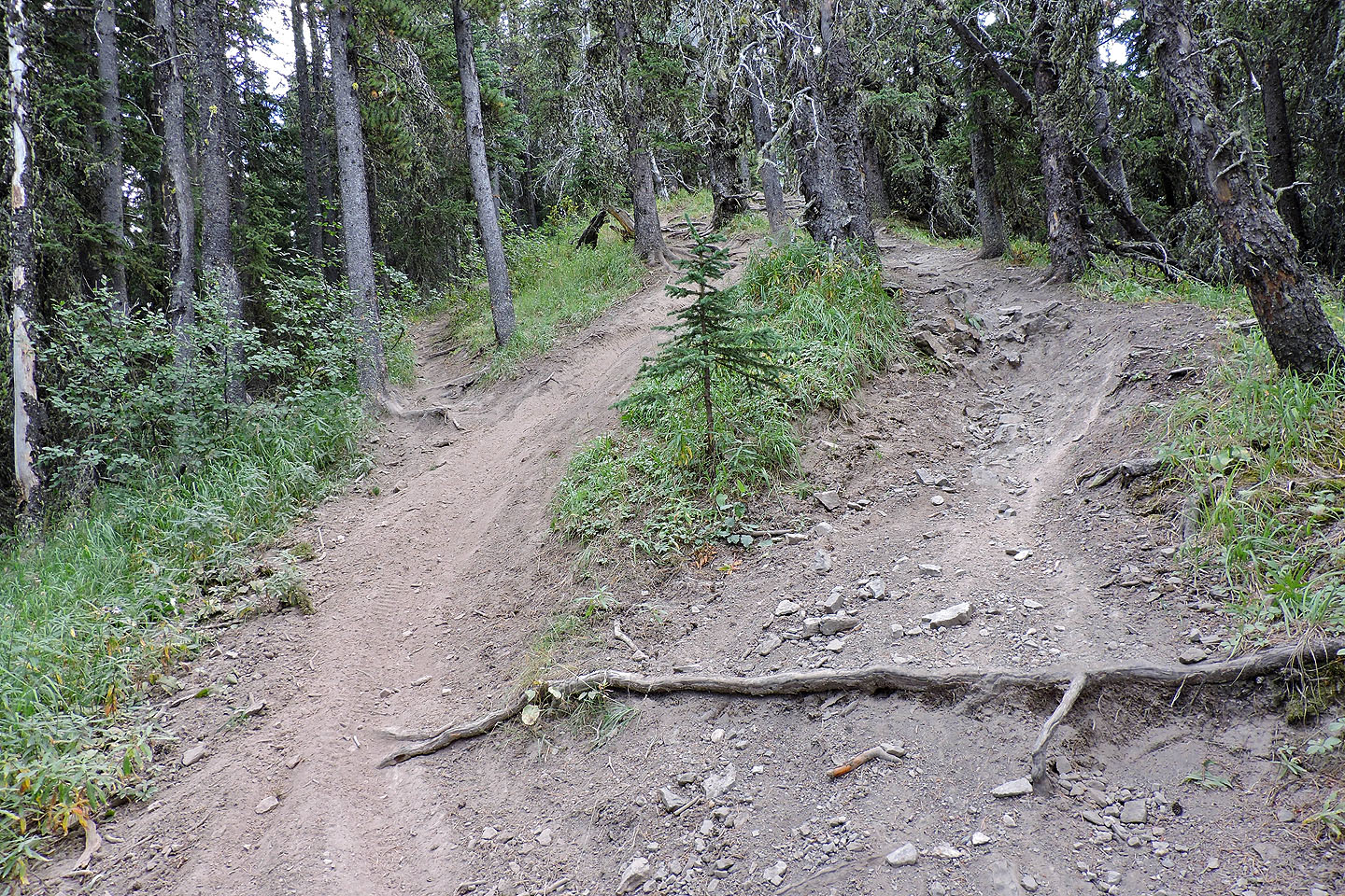
Dirt bikes have carefully crafted, nice trails (I'm joking; they were horrible!)
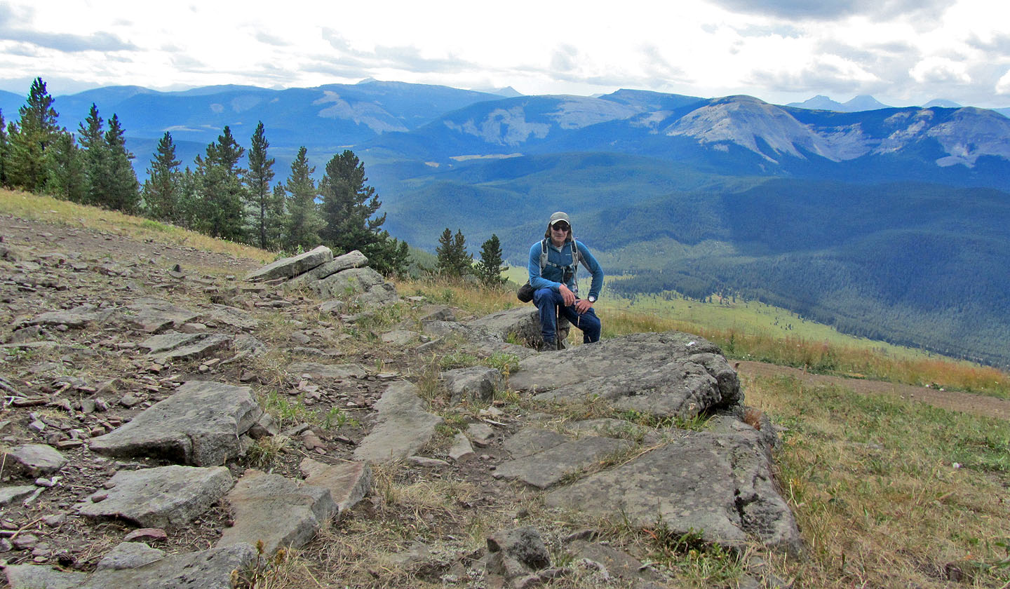
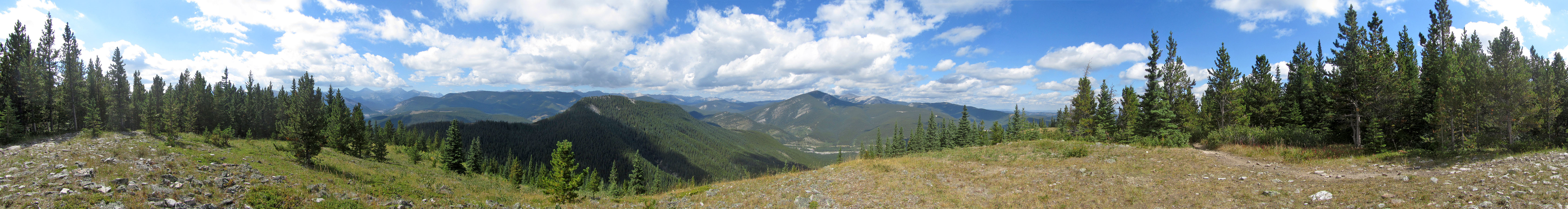
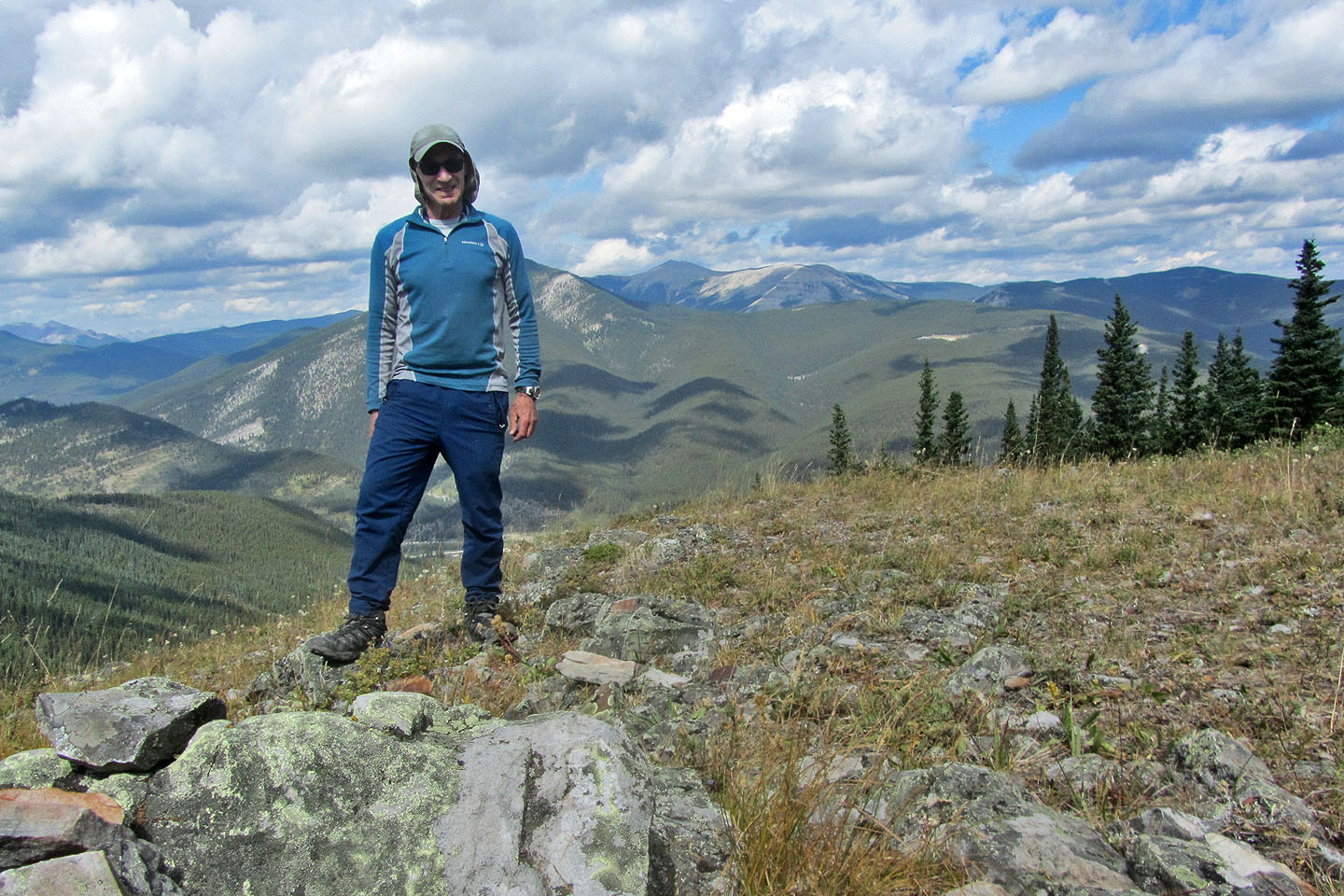
Sitting on the summit of Quirk
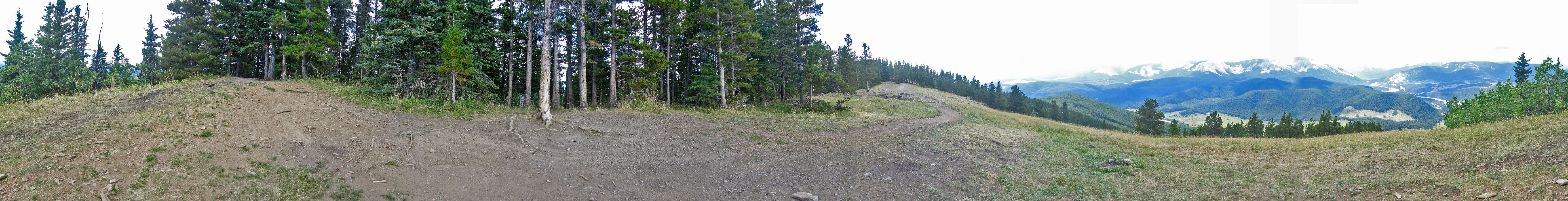
Summit panorama
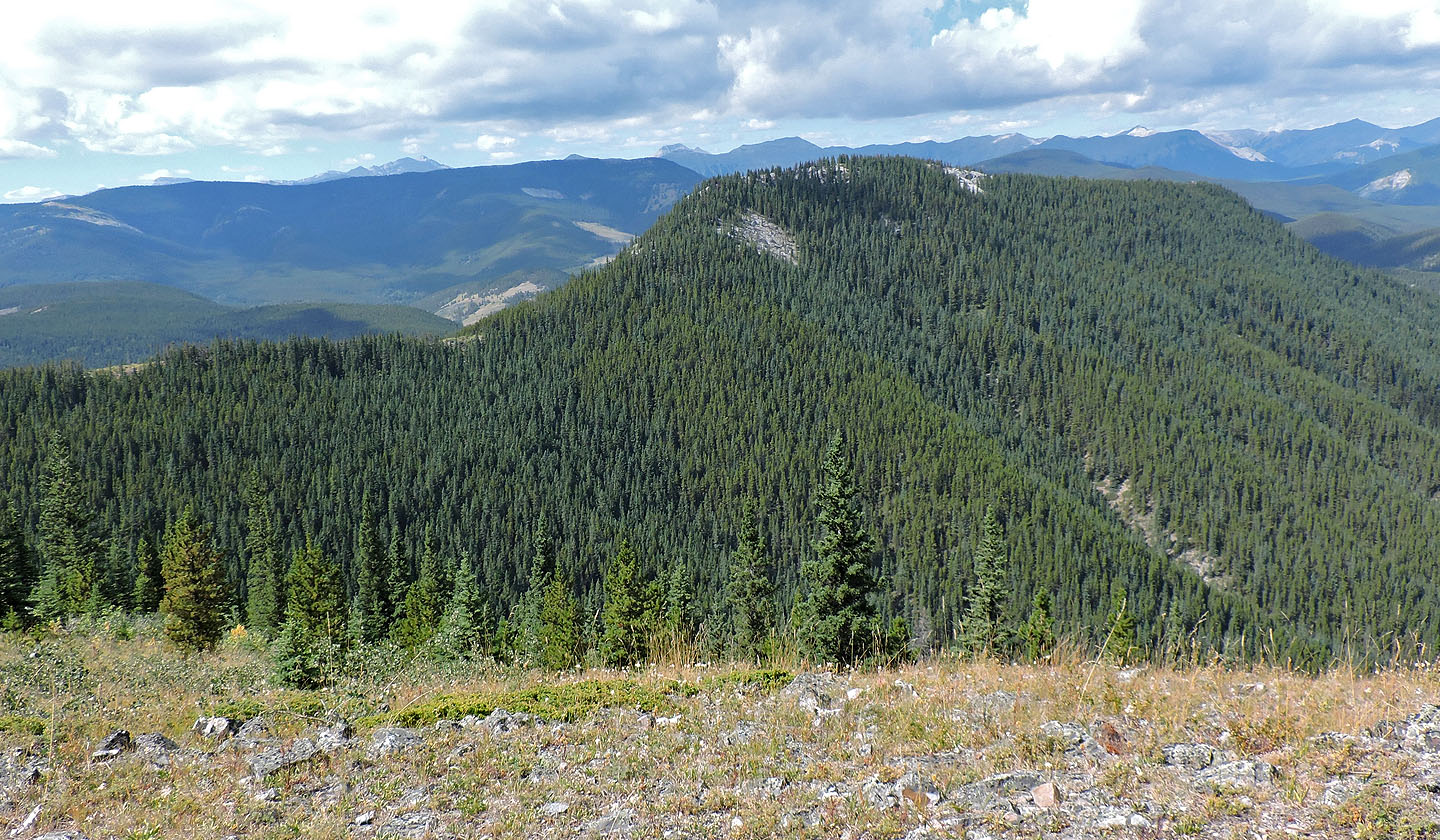
Forgetmenot Mountain and Forgetmenot Ridge
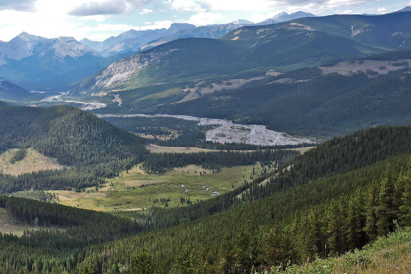
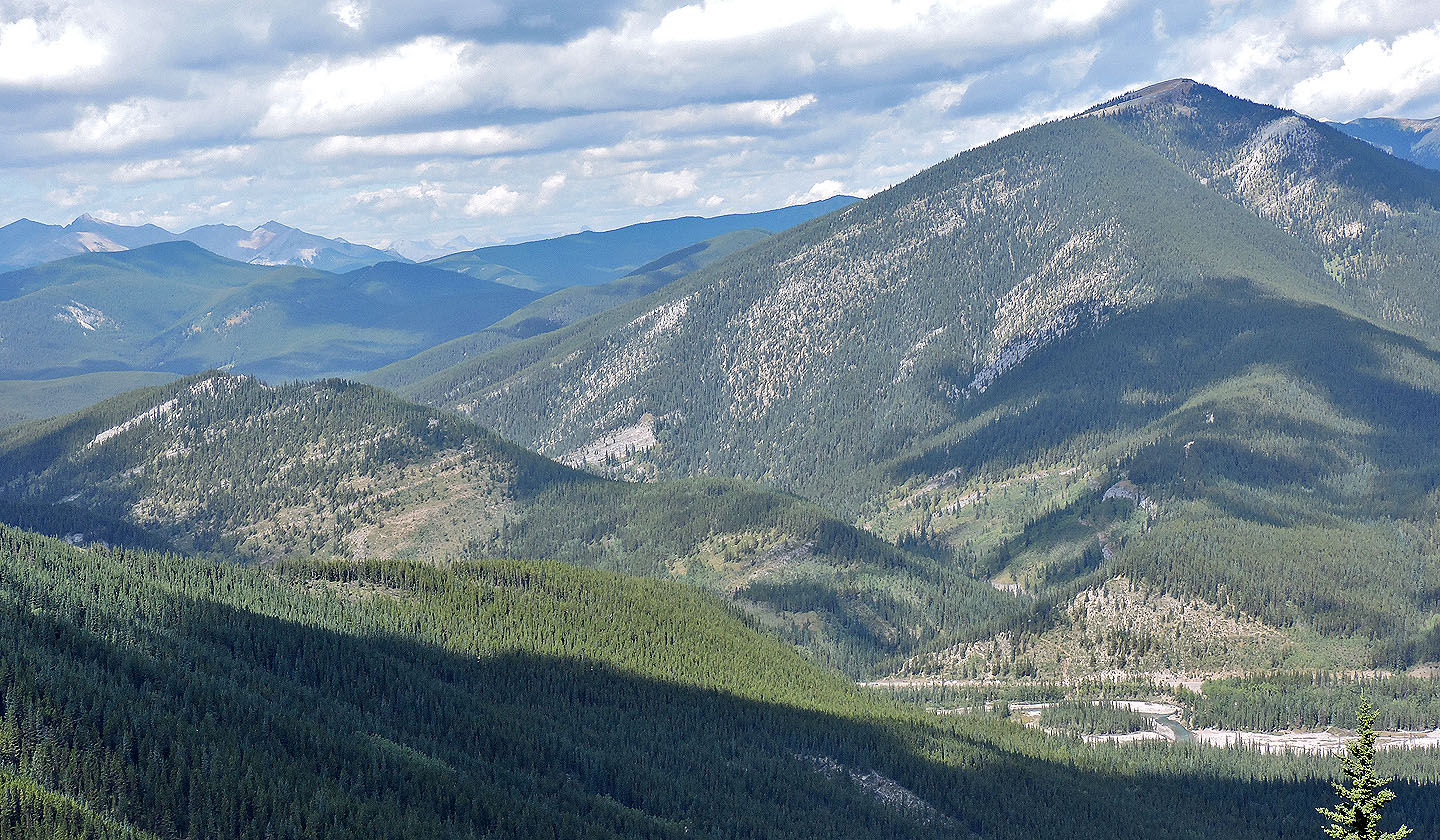
Nice view of Elbow River
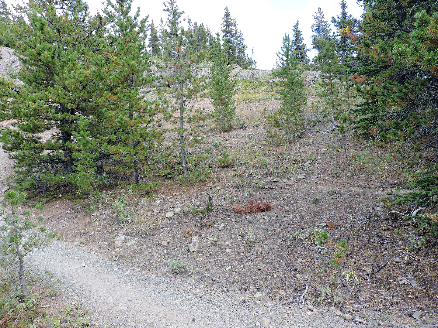
On the way back, I passed the first drop and exited at the second drop seen ahead
From the bottom of the trail, I easily crossed over the ridge
I appreciated the clearings on the upper slope
Lower down, I could see the forest edge where it meets the cutblock
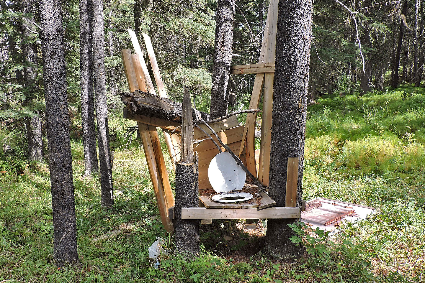
On the way back on the cattle trail by the logging road, I came across this outhouse. Use at your own risk!
82 J/15 Bragg Creek