bobspirko.ca | Home | Canada Trips | US Trips | Hiking | Snowshoeing | MAP | About
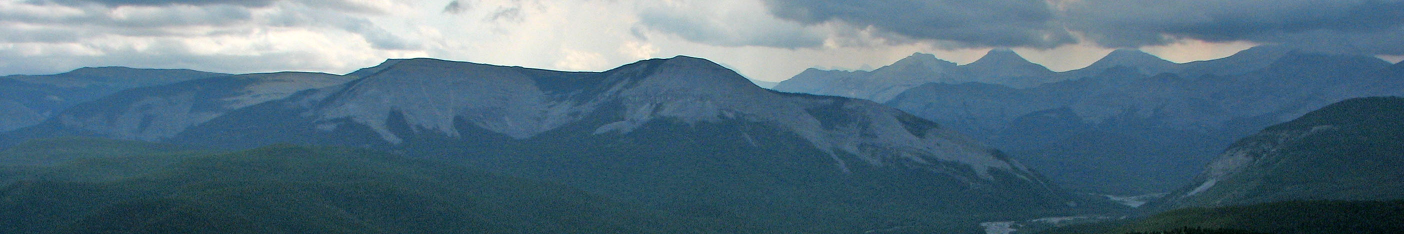
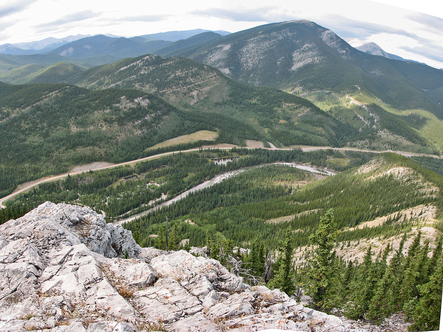
Partial panorama looking south
Îyarhe Îpan
Kananaskis, Alberta
August 15, 2006
Distance: 4.1 km (2.5 mi)
Cumulative Elevation Gain: 597 m (1959 ft)
Pete Irwin suggested climbing this ridge as a quick, after-work trip. I wasn't expecting much – it lays south of overworked Prairie Mountain – but I was in for a surprise. Only later did I learn it was called Îyarhe Îpan.
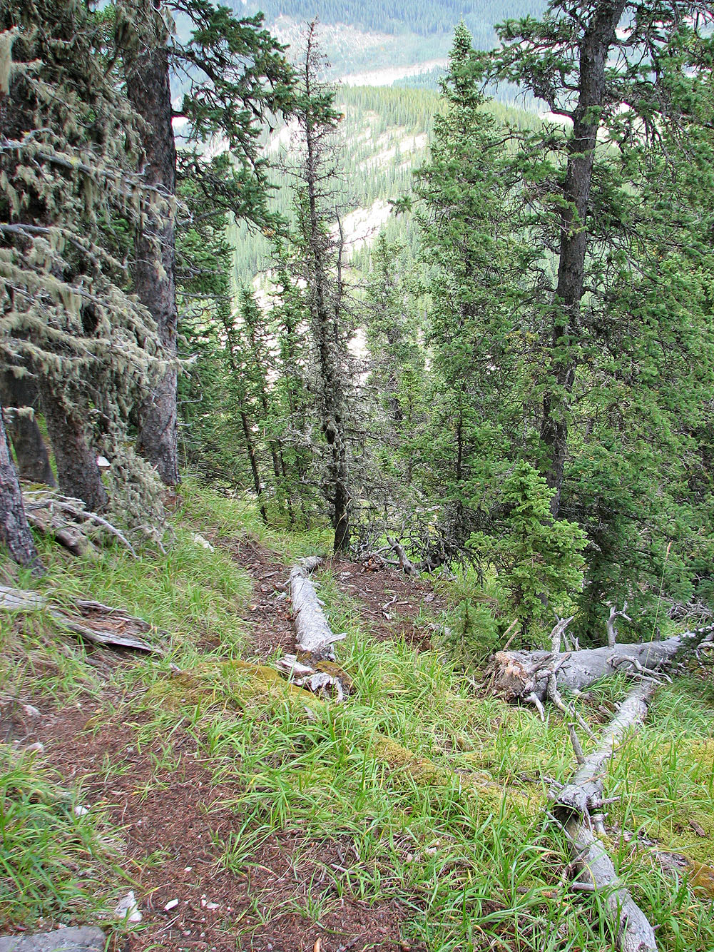
We parked at Beaver Flats just past the gate. At the west end of the parking lot, Pete led me down a trail to the river's edge. After fording the Elbow River, we scrambled up a steep slope that brought us to the shoulder of the ridge. After a short hike, we came to a cliff that drops almost down to the river. The clifftop, however, was treed and held a good sheep trail.
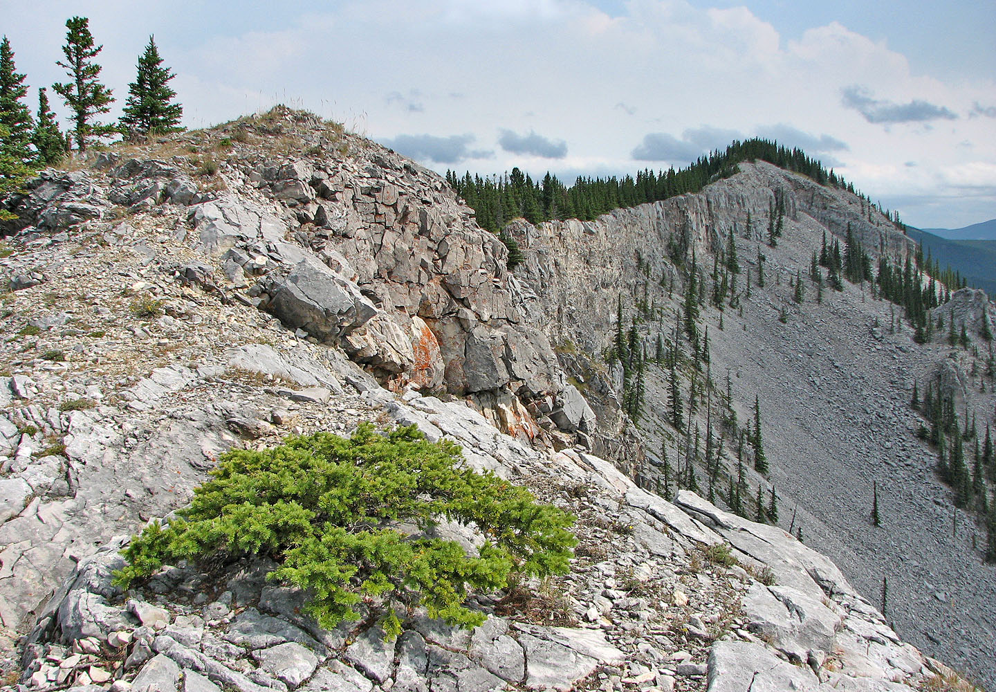
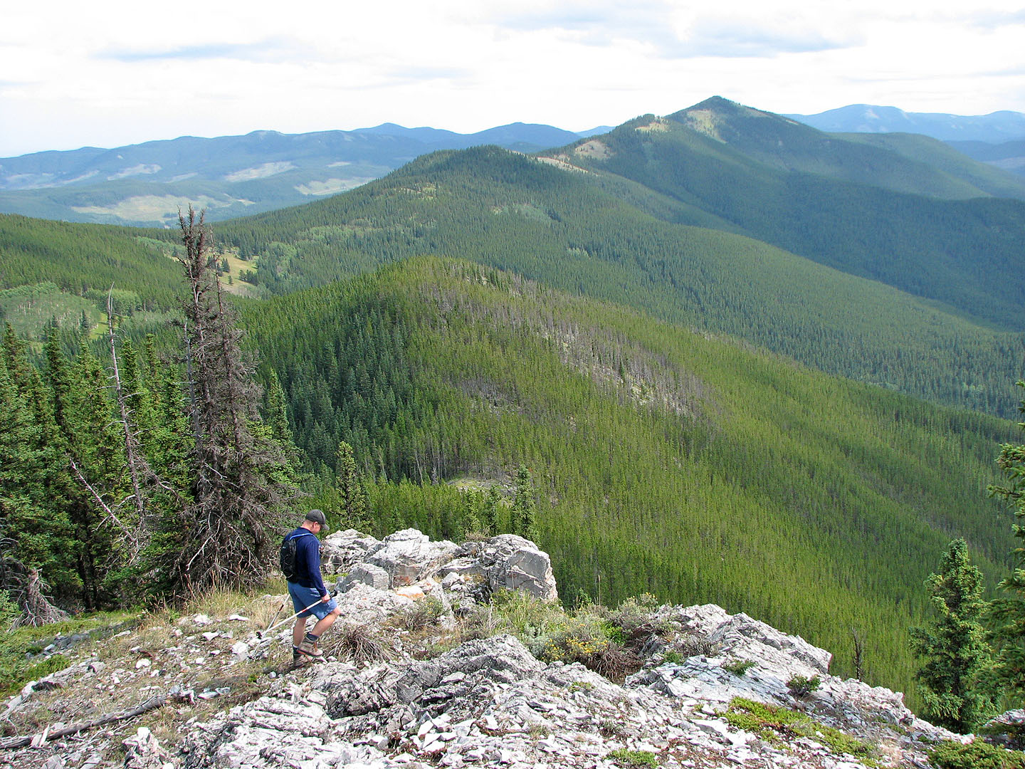
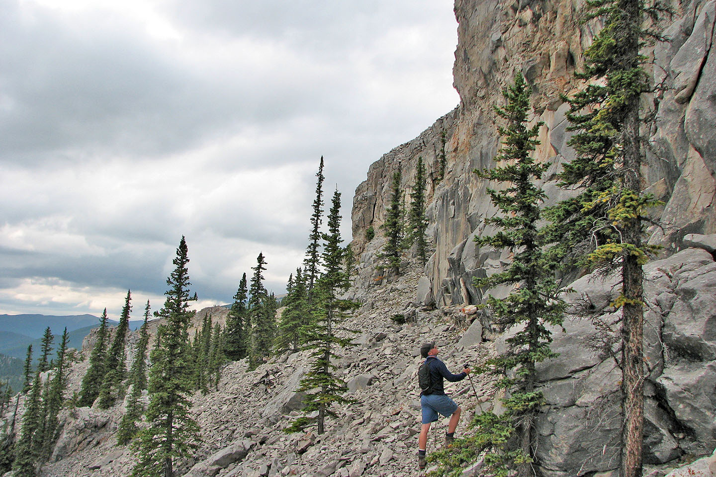
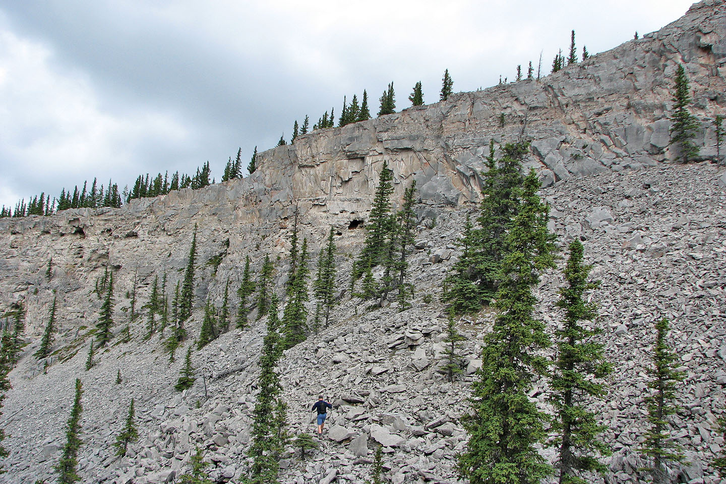
After emerging from the trees, I was surprised to find we were at the north end of a long, impressive, rocky ridge above a scree basin. We followed the ridge, although the trees often barred us from sticking to the edge. After passing the basin, the cliffs diminished, and the ridge, including the summit, was treed. We continued past the summit until the cliff band disappeared. We dropped below the cliff band and headed north, something Pete hadn't done on his previous trip here.
After following the base of the cliff we reached the scree basin. First we scrambled up a nearby rock outcrop in the scree. From the top, Pete spied some small caves and made a beeline for them. The caves turned out to be shallow. The largest one was full of pine needles, some of which formed a huge nest. Pete thought it was a pack rat lair.
It was obvious we wouldn't be able to regain the ridge if we continued north, so we headed back to the south end hoping we didn't have to go too far. We soon stumbled upon a sheep trail that led to a crack in the rock band. The sheep had it right. We had no trouble scrambling up the crack to regain the ridge.
We retraced our steps back along the ridge, all the way back to the shoulder. Near the middle of the shoulder, Pete showed me some good scree we could run down. Near the bottom we angled right and came to the beaver ponds. The ponds were fascinating, although there didn't appear to signs of fresh beaver activity. (When I have a mind to, I want to follow the 3 km interpretive trail to find out what the story is.)
We followed the right shoreline as best we could because of the steep slope and trees. We arrived back at Elbow River where we had left our sandals and again forded the chilly Elbow River.
If anyone is looking for a quick scrambling fix, this would be it.
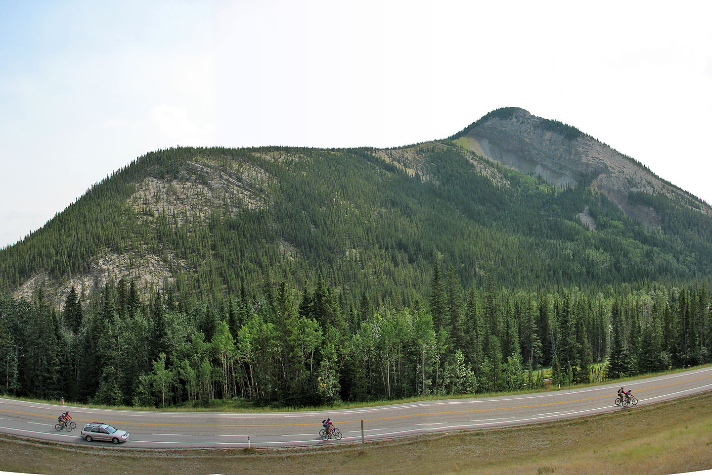
Îyarhe Îpan from the highway. Ascent starts on the left and follows the ridge.
Only the false summit is seen here.
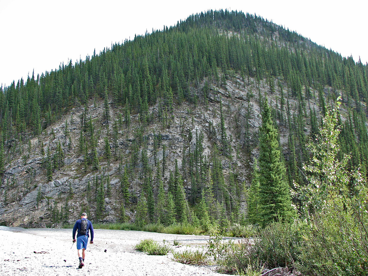
After crossing Elbow River, we scrambled straight up the slope ahead
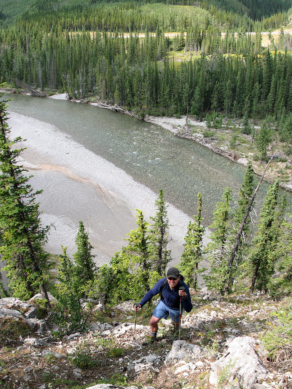
Looking back after ascending well up the slope
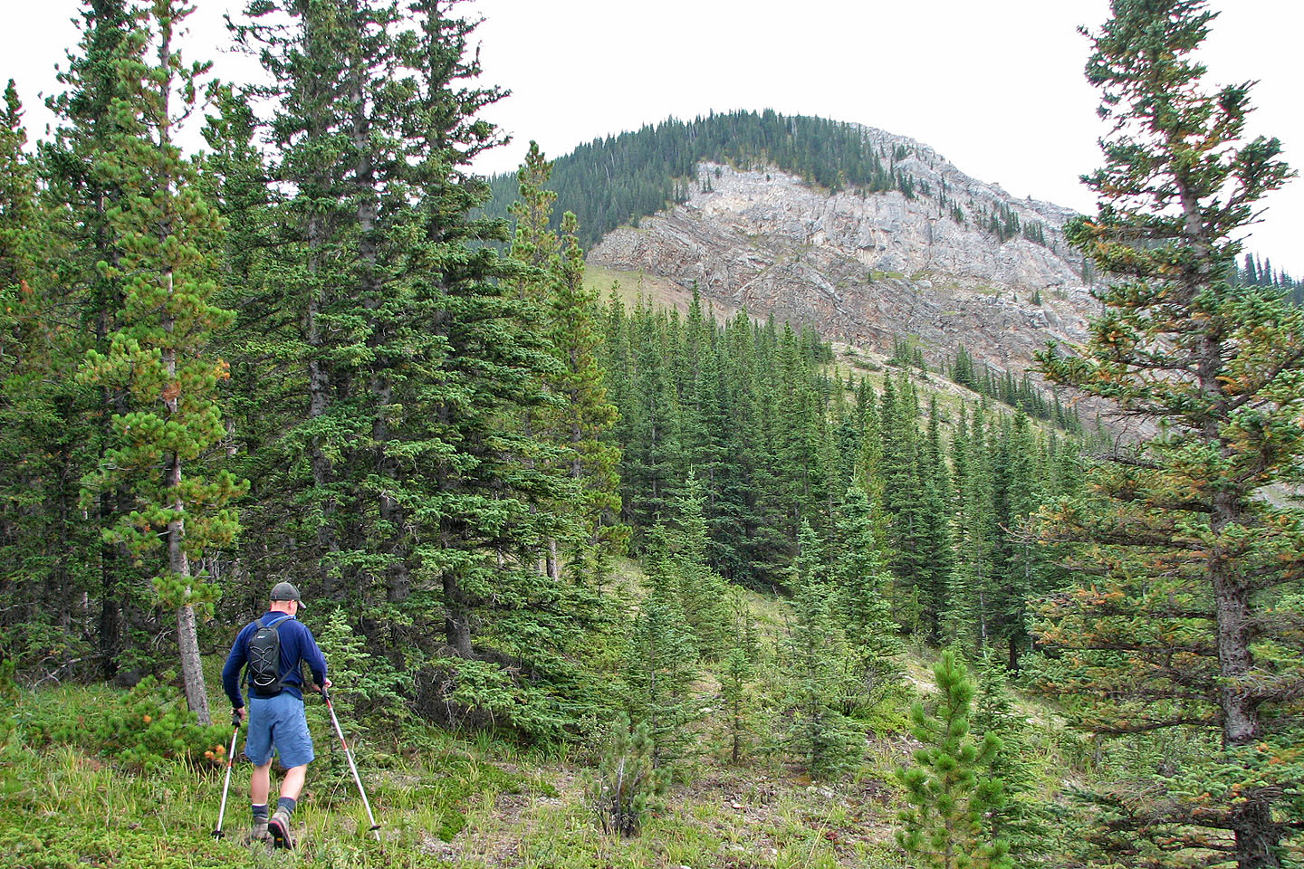
After topping out, we hiked along the shoulder to the false summit
Looking back at the ridge. We'll use the scree here on our descent. Prairie Mountain looms in the background.
We followed a sheep trail in the evergreens on the left to reach the false summit
The sheep trail was well-defined
And easy to follow
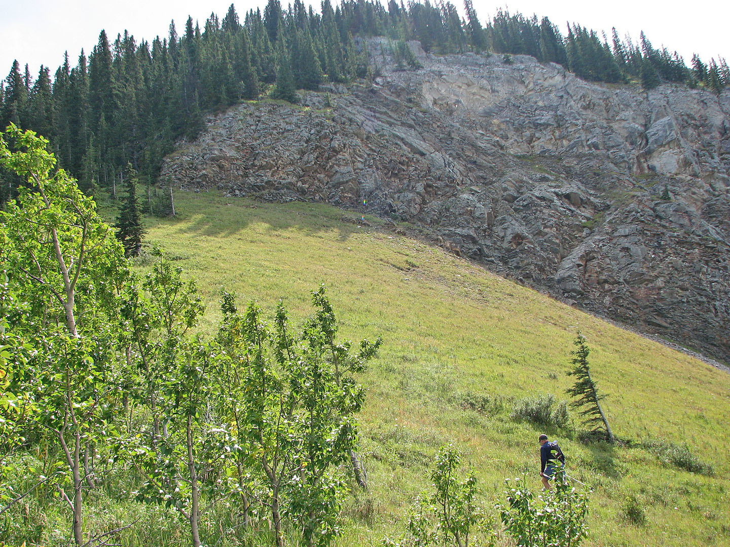
The trail topped out on the false summit at the end of a long, rocky ridge
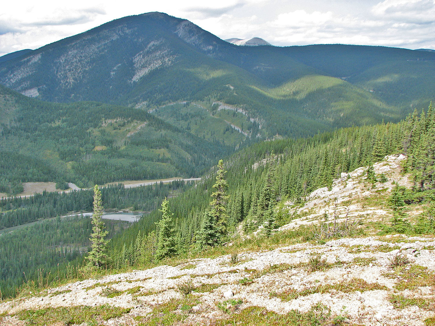
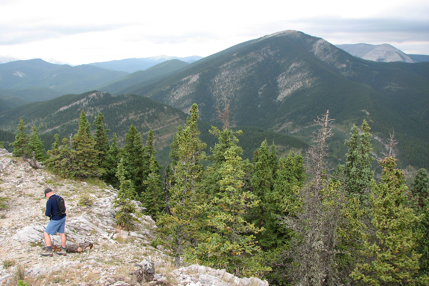
Looking back at the shoulder and Prairie Mountain
Looking along the ridge. Note the rock outcrops on the scree slope far right that we later climbed.
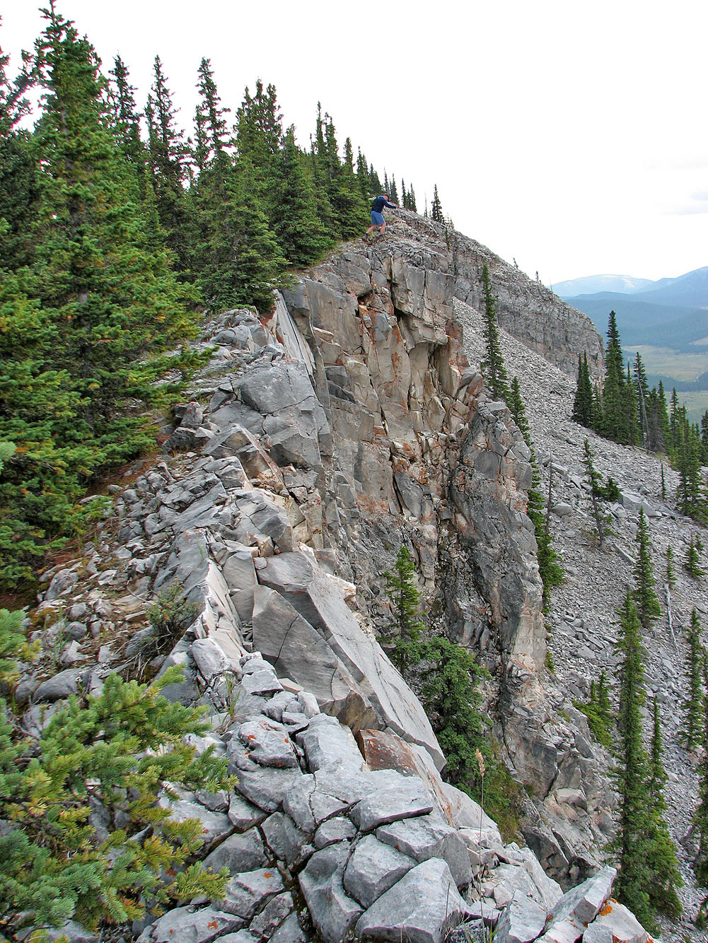
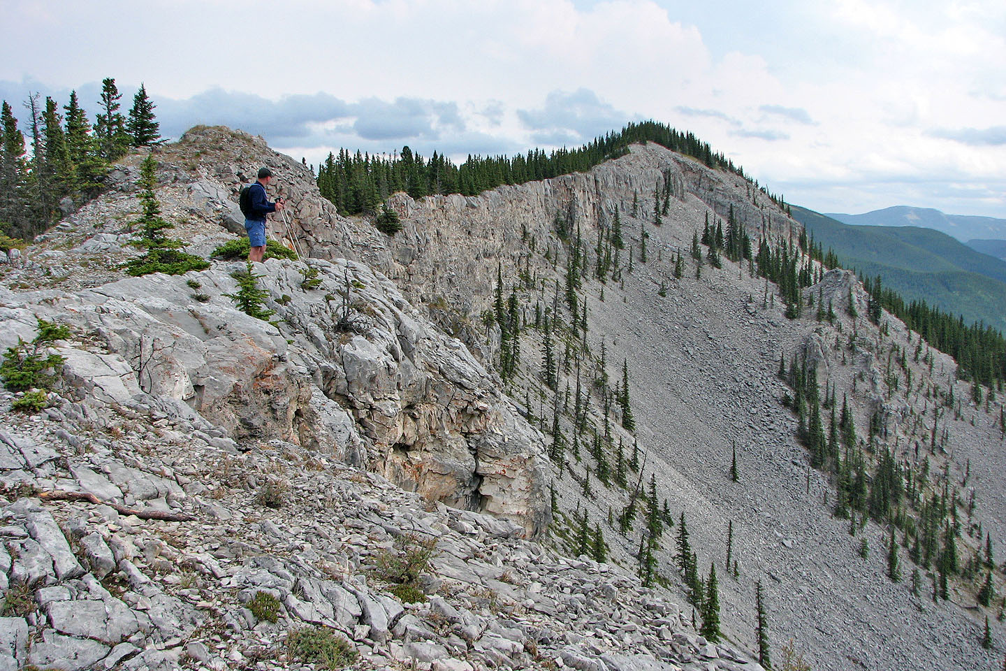
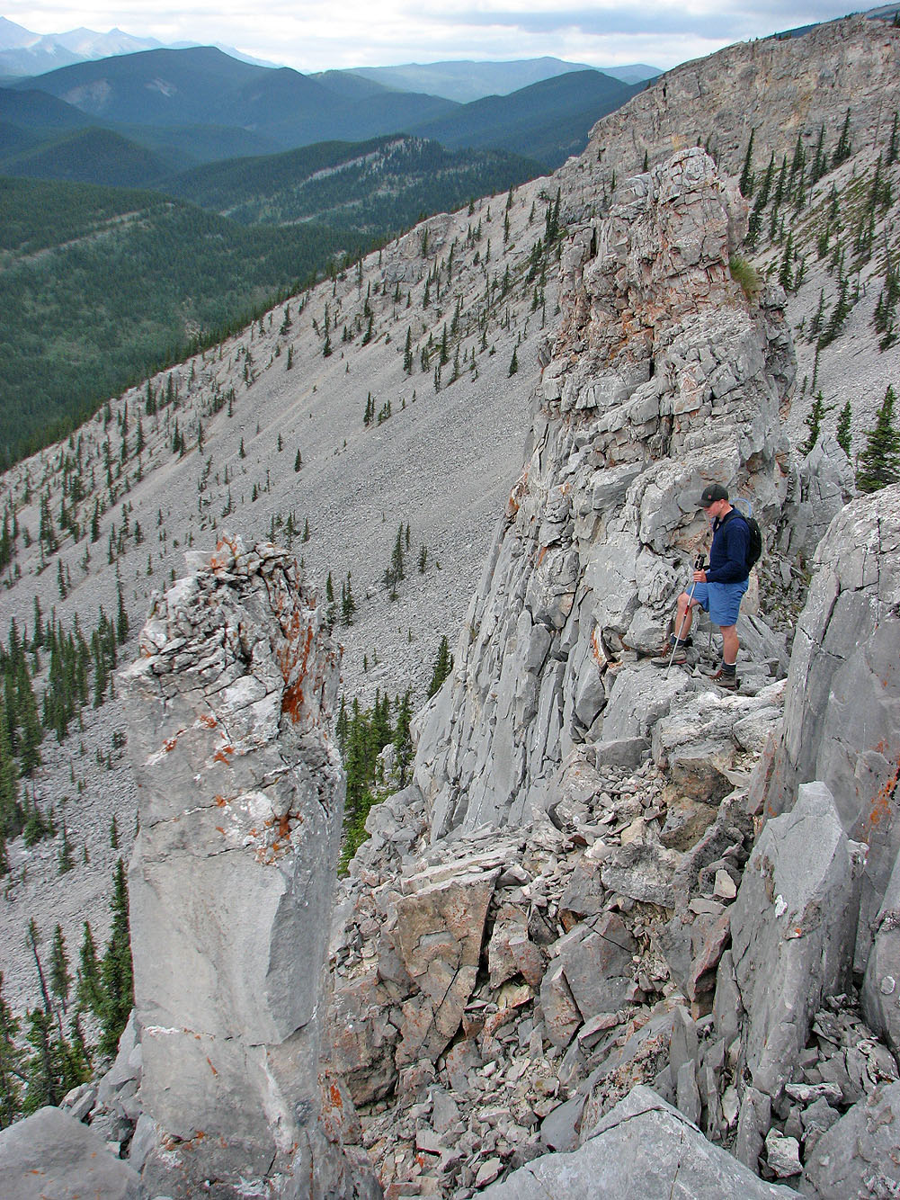
Pete makes his way along the ridge (mouse over for a close-up)
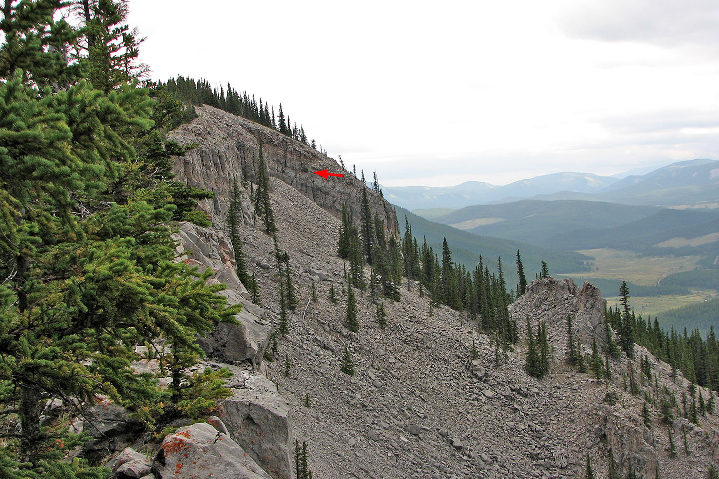
Later, we scrambled up a cliff where there was a small bush (arrow)
Looking back along the ridge
After passing
over the summit, Pete headed to a cave. Quirk Ridge in the background.
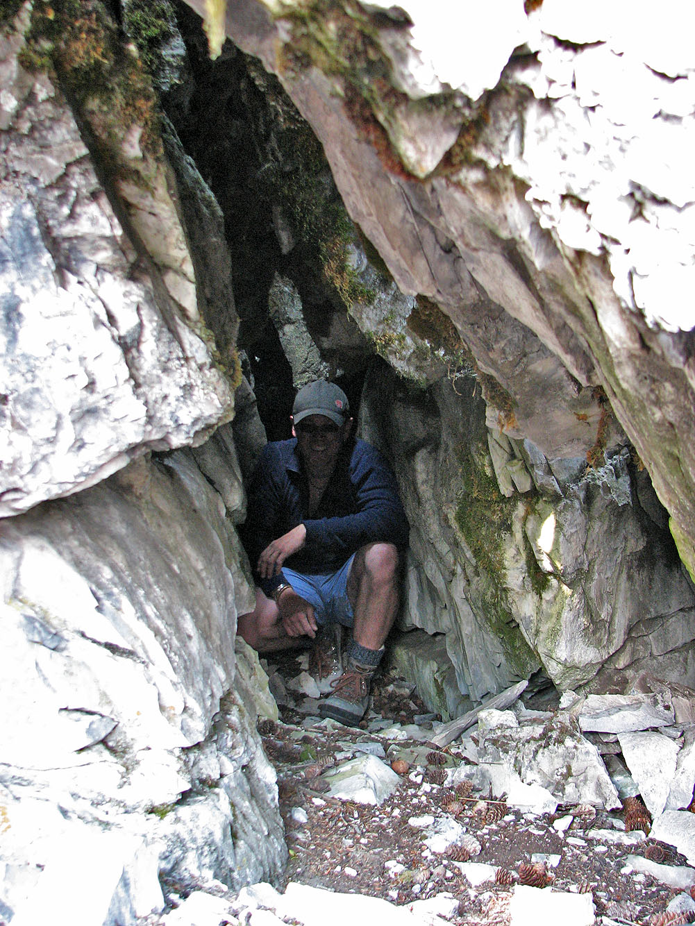
Pete makes himself at home in the tiny cave
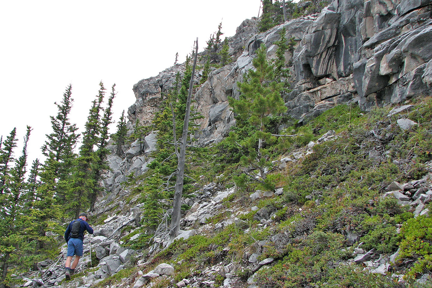
After the cave, we went around the end of the cliff band and dropped below it
We started following the base of the cliff
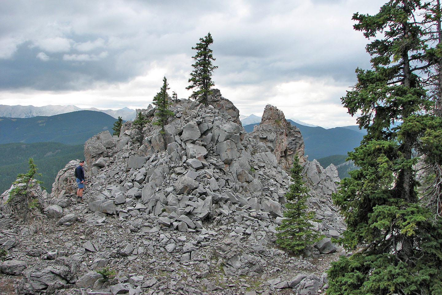
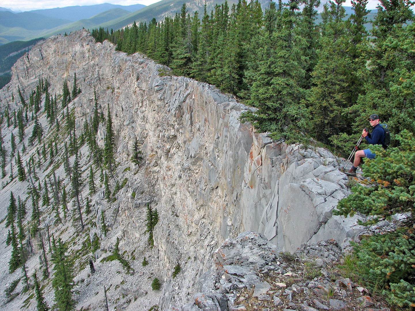
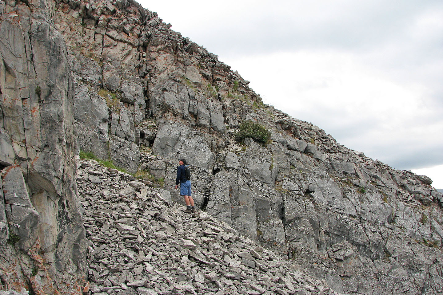
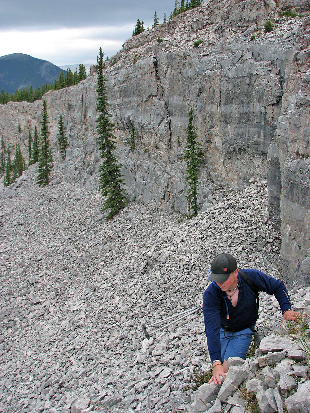
When we reached these rock outcrops we scrambled up the first one
Pete decides not to attempt. The rock is unstable, and it's sheer drop on the left.
From the rock outcrops, Pete made his way to a small cave (mouse over for a close-up)
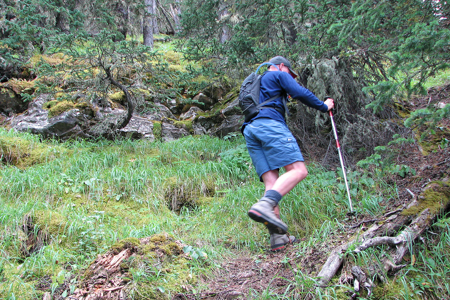
From the cave we caught a sheep trail and followed it to a crack next to Pete (note the bush)
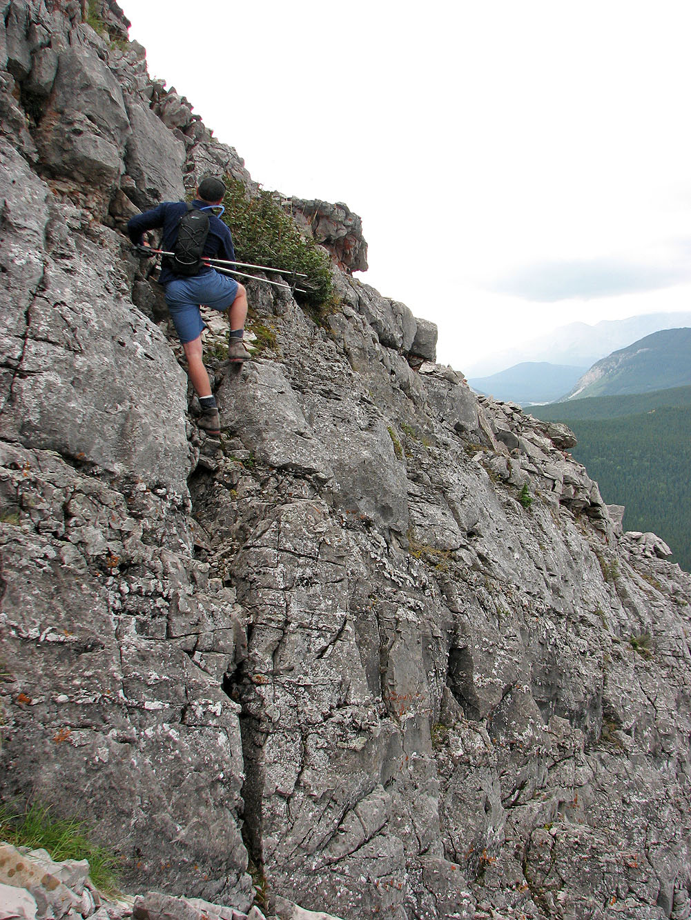
The crack seemed to be a continuation of the sheep trail
Pete follows me up the crack
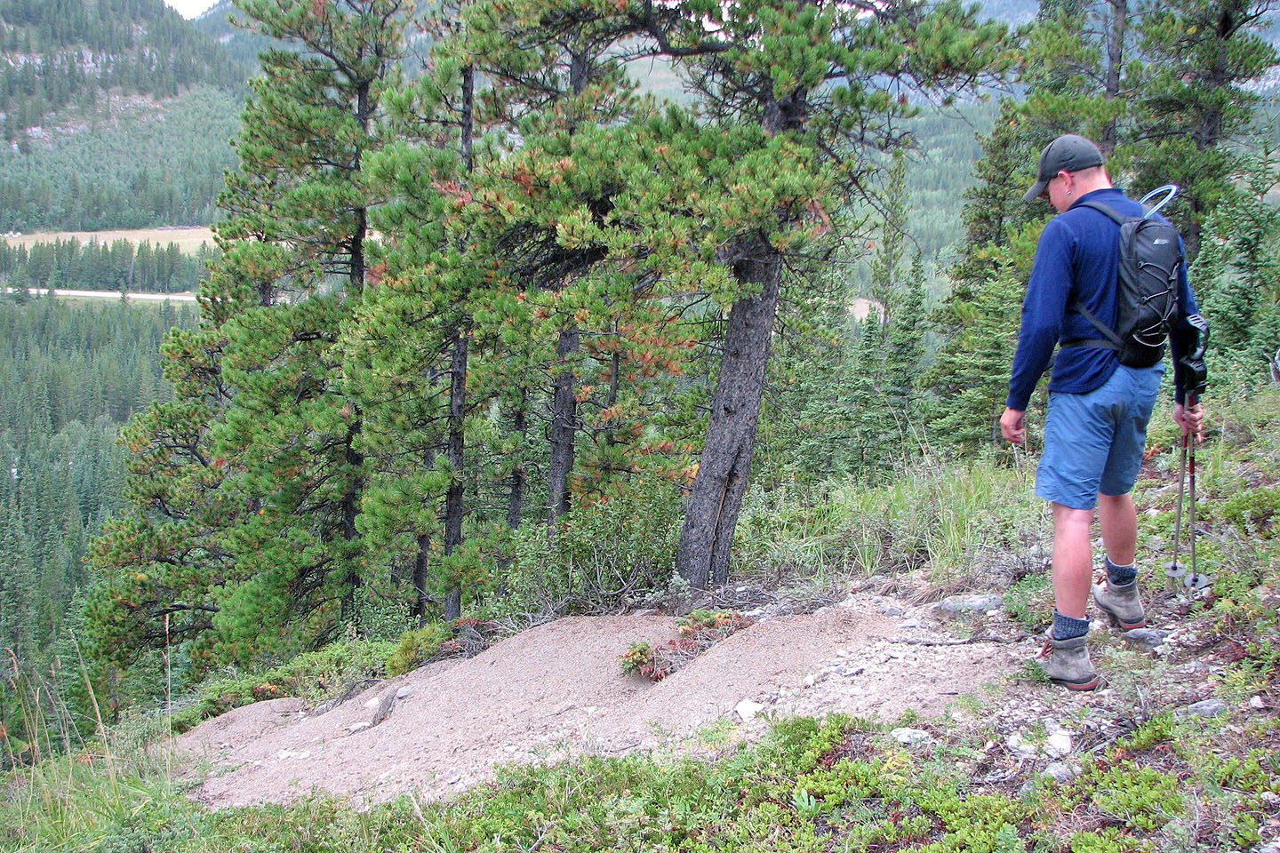
We returned to the shoulder where Pete had placed a log to mark the top of the sheep trail
After coming down the scree we came across this large ant hill. Indeed, ant
hills were prolific on the slope.
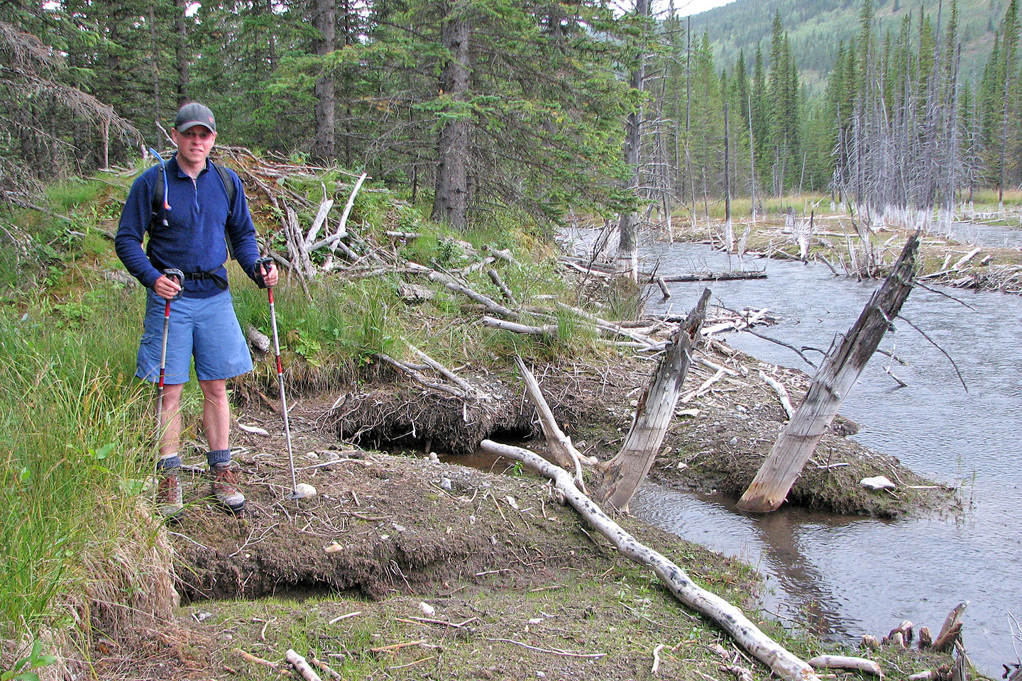
At the bottom we reached the beaver pond just when it started raining
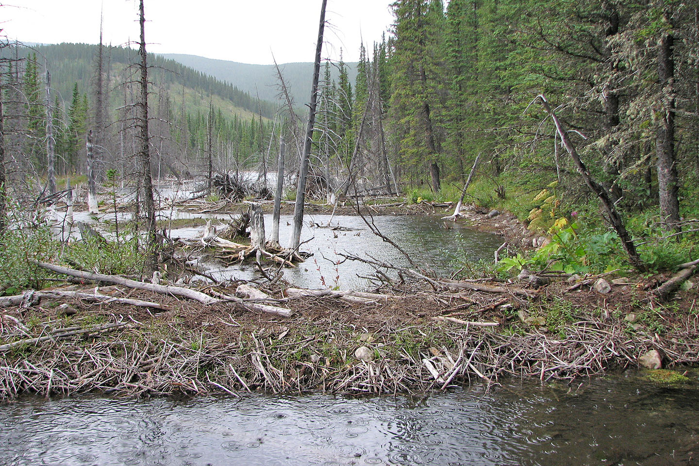
Our descent ends at the beaver ponds. This is one of many dams.
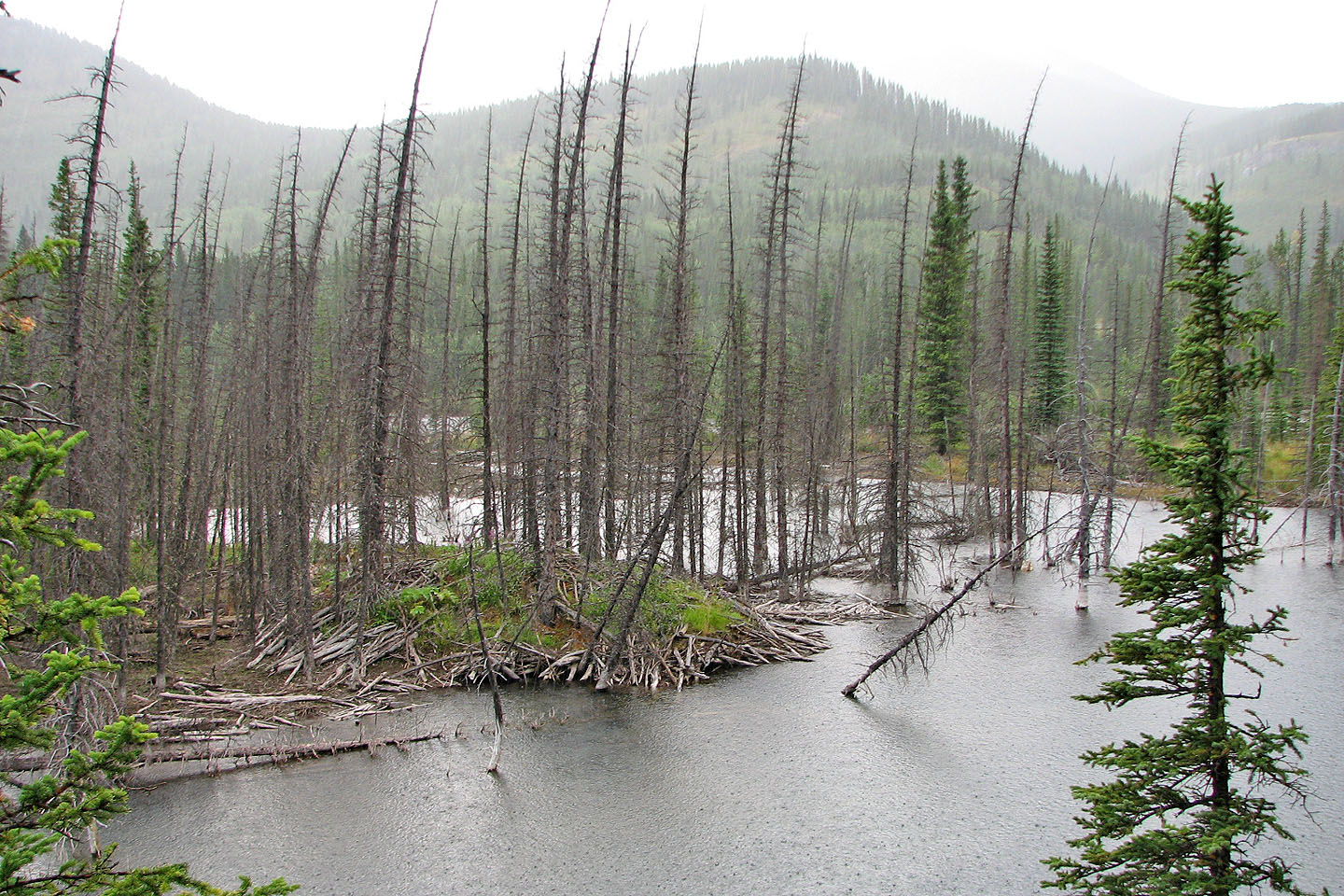
There are also beaver huts like this huge one
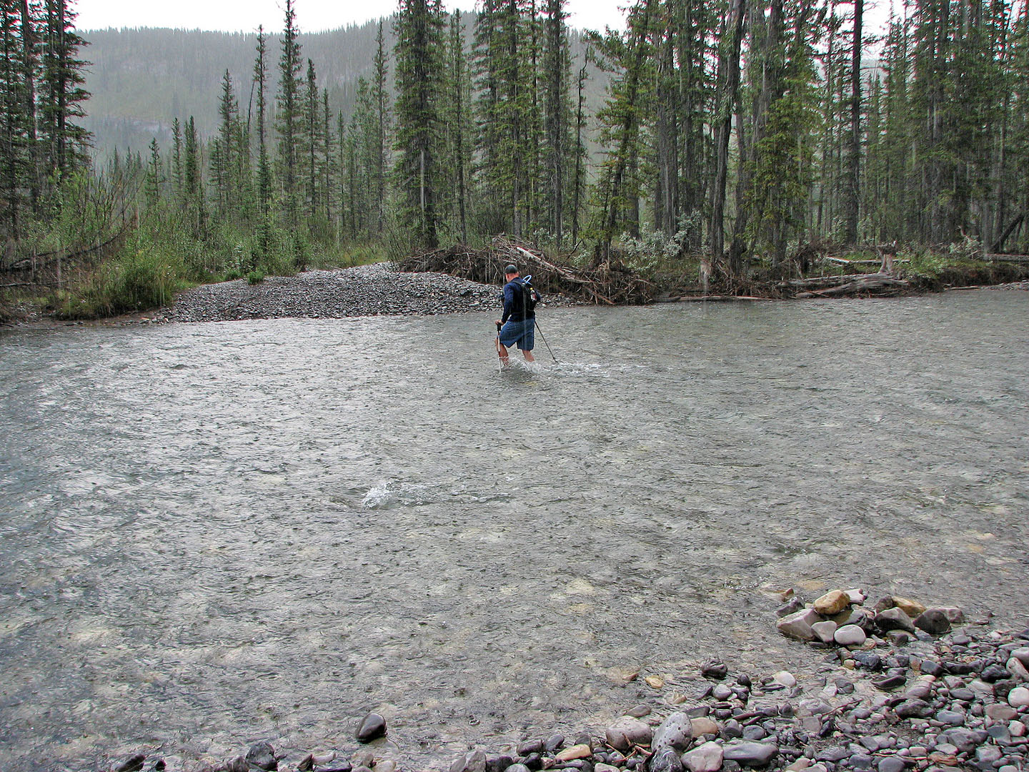
Crossing the Elbow River again
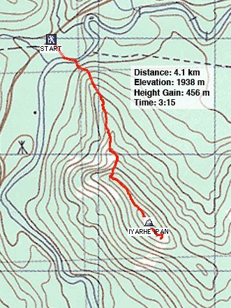
82 J/15 Bragg Creek (ascent route)