bobspirko.ca | Home | Canada Trips | US Trips | Hiking | Snowshoeing | MAP | About
Vents Ridge (aka White Buddha)
Kananaskis, Alberta
May 13, 2017
Distance: 6.5 km (4.0 mi)
Cumulative Elevation Gain: 331 m (1086 ft)
Sometimes I've climbed Prairie Mountain for a quick workout and wondered about its neighbour, Vents Ridge. Vents seemed like a terribly short trip, but after reading the “highly recommended” loop described in Kananaskis Country Trail Guide, it looked worthwhile. The trip, in fact, holds many interesting features. (Vents Ridge can also be reached using an offtrail route up the east ridge.)
It begins on Powderface trail before turning onto Corri Robb trail. A series of switchbacks on the open south slope lead to a climbing crag – a long, gray cliff band known as The White Buddha. A break near the east end of the crag allows non-climbers to easily gain the ridge and reach the summit, a small but distinctive rock outcrop.
After a long stay on top, Dinah and I headed west, continuing on Corri Robb trail as it meandered along the ridge through trees before dropping down to hug the base of Prairie Crag on the north side of Vents Ridge. This crag, running diagonally down, is both impressively high and exceedingly long. A few times we thought we reached the end only to realize it continued on, extending virtually to the bottom of the glen where Prairie Creek flows.
Here, winter persevered: we crossed firm snow at the bottom and thick ice over Prairie Creek to reach Prairie Creek trail. The broad and popular trail leads back to the winter gate at the foot of Prairie Mountain.
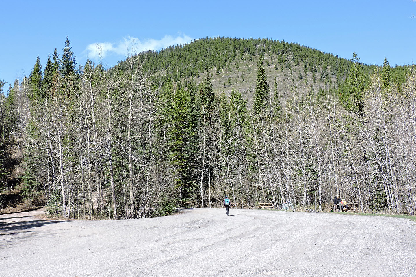
Vents Ridge appears above Powderface trailhead
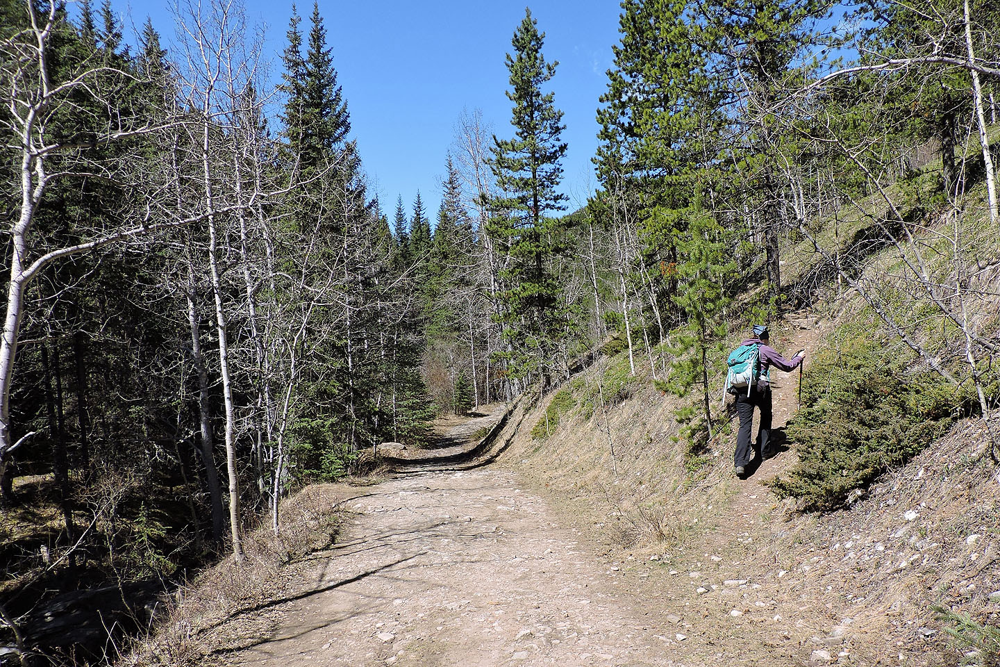
After hiking 1.3 km up the trail, we turned off onto Corri Robb trail
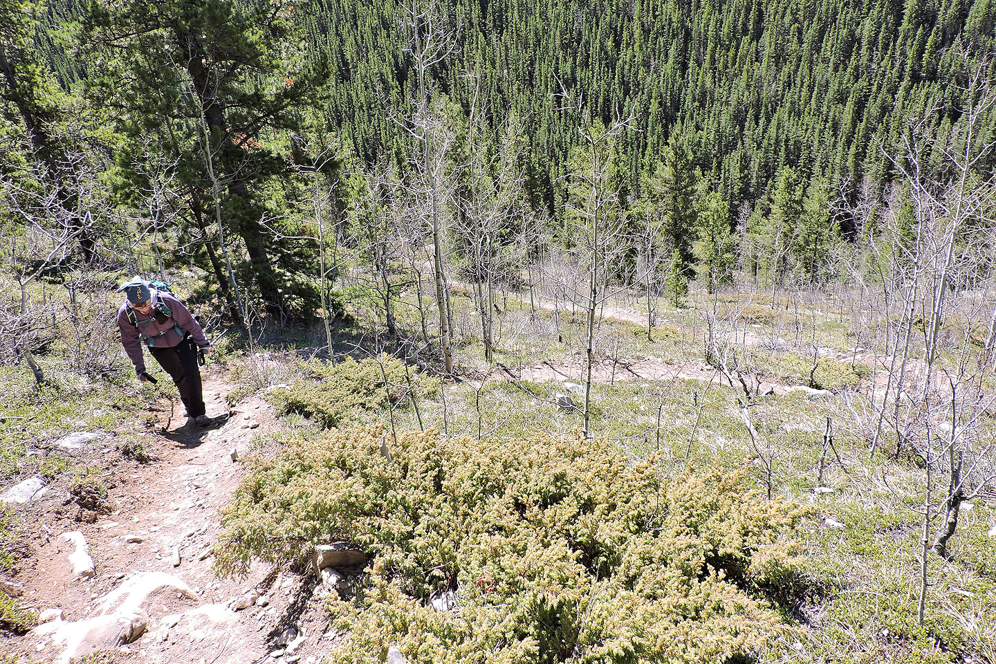
Looking down at the switchbacks
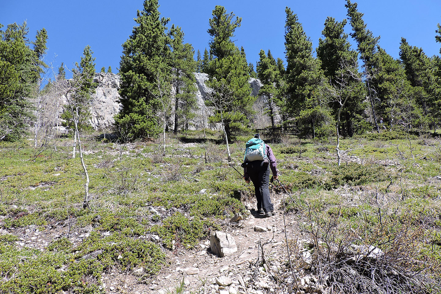
The White Buddha, a climbing crag, comes into view
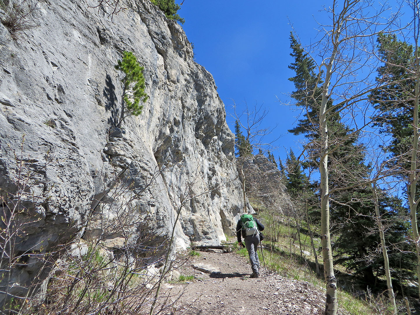
The trail runs alongside the crag
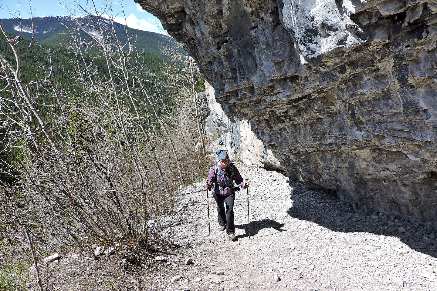
Walking under an overhang
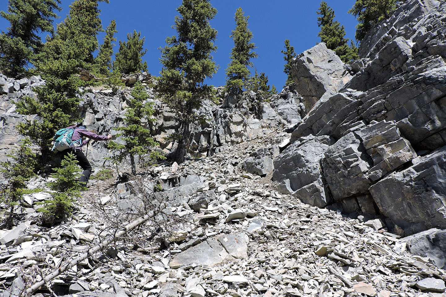
At the end of the main crag, we followed a scree trail to the top of the ridge
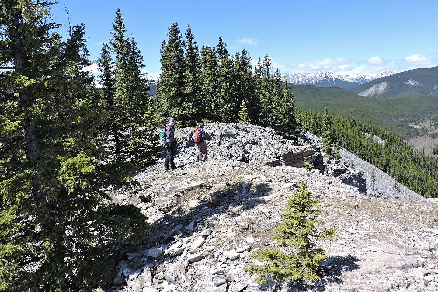
On the ridge
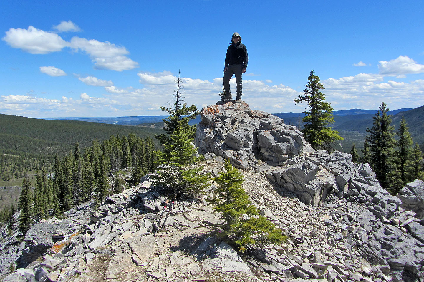
Standing on the summit
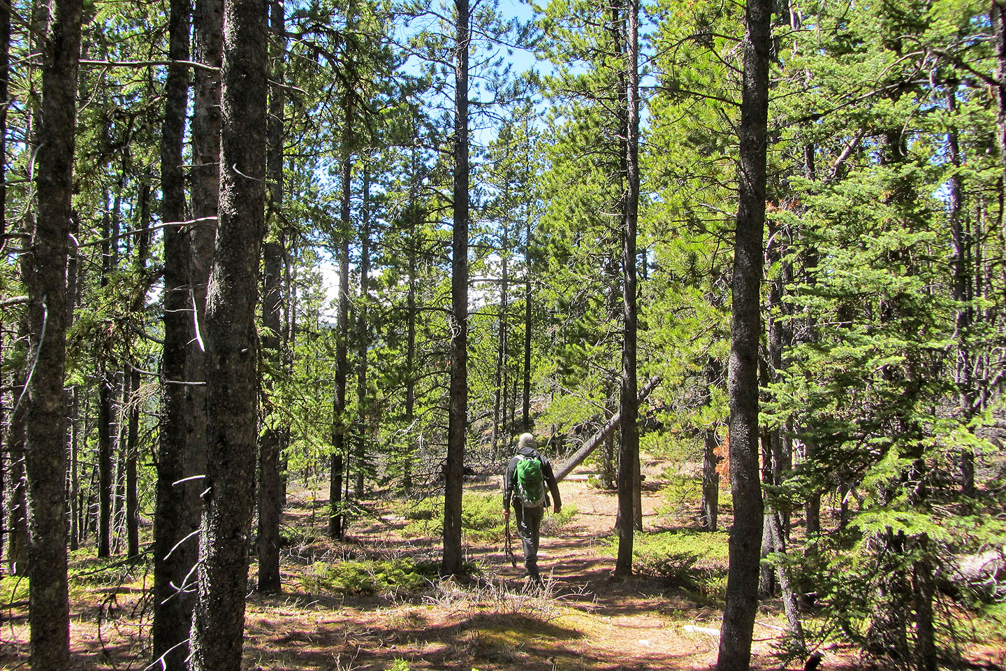
Starting down the west end of the ridge
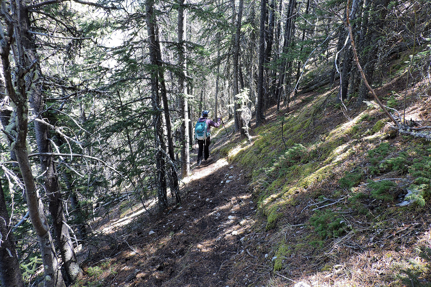
A switchback cuts into a steep slope
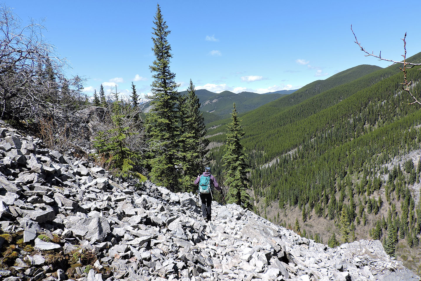
The trail runs across a talus slope before reaching Prairie Crag
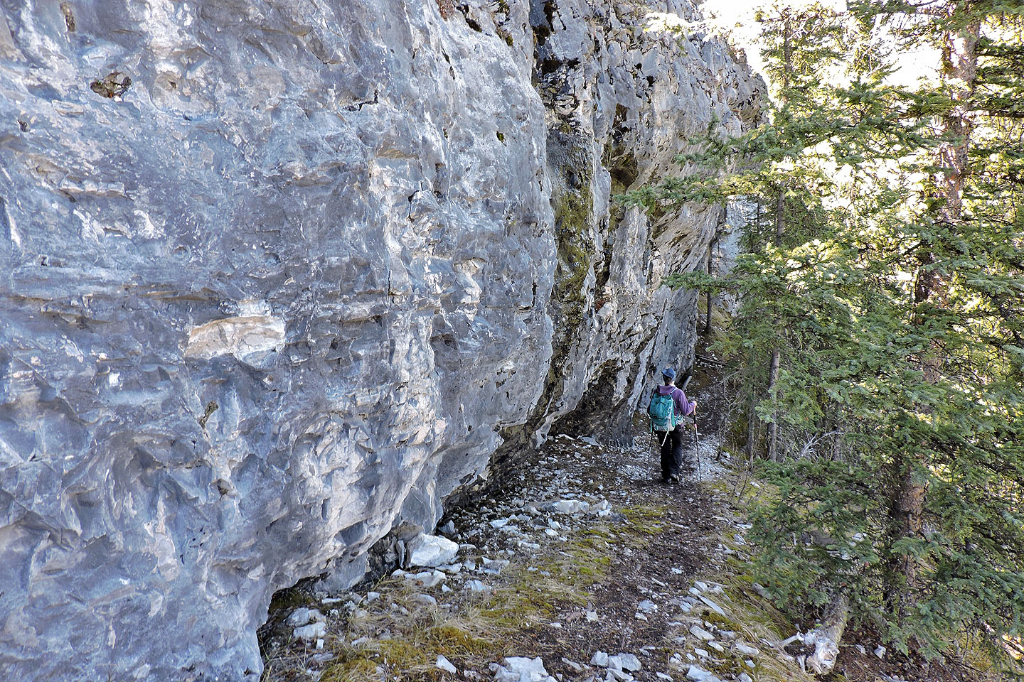
Following the trail alongside the crag
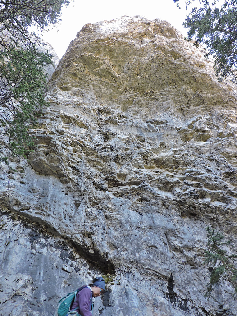
The cliffs often towered over us
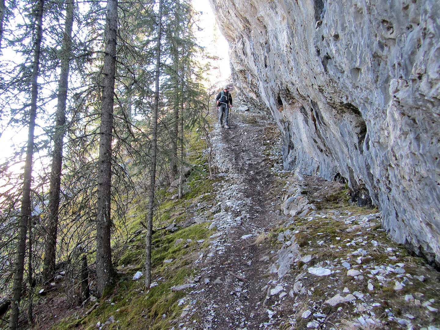
The crag seemed to never end
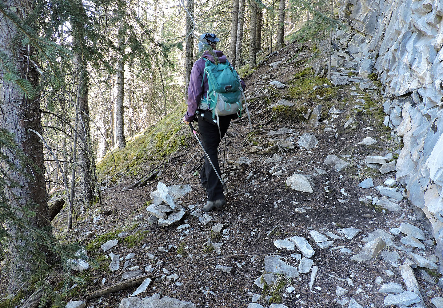
Finally we reached a cairn, signaling we were near the bottom
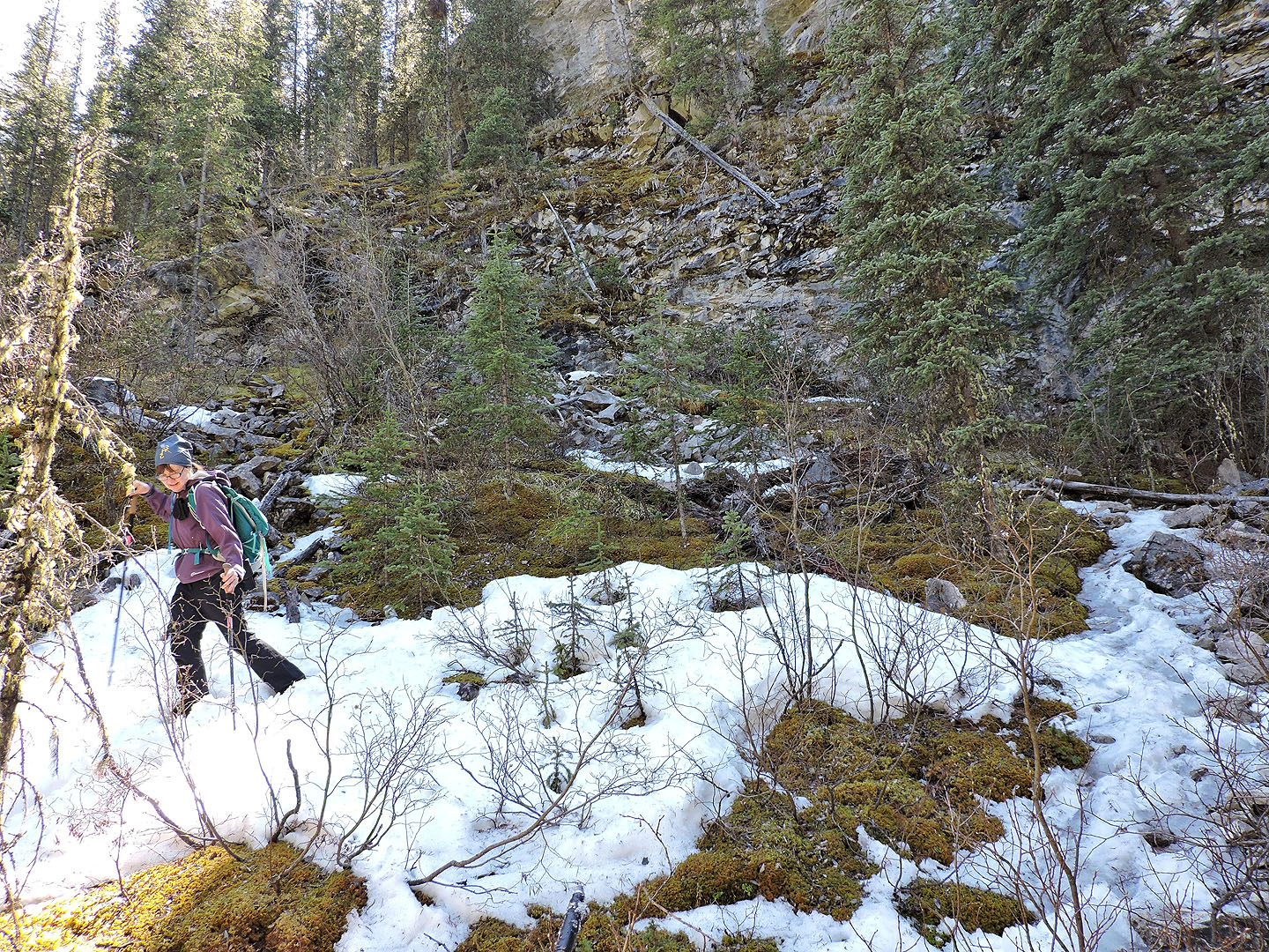
Snow persists at the bottom
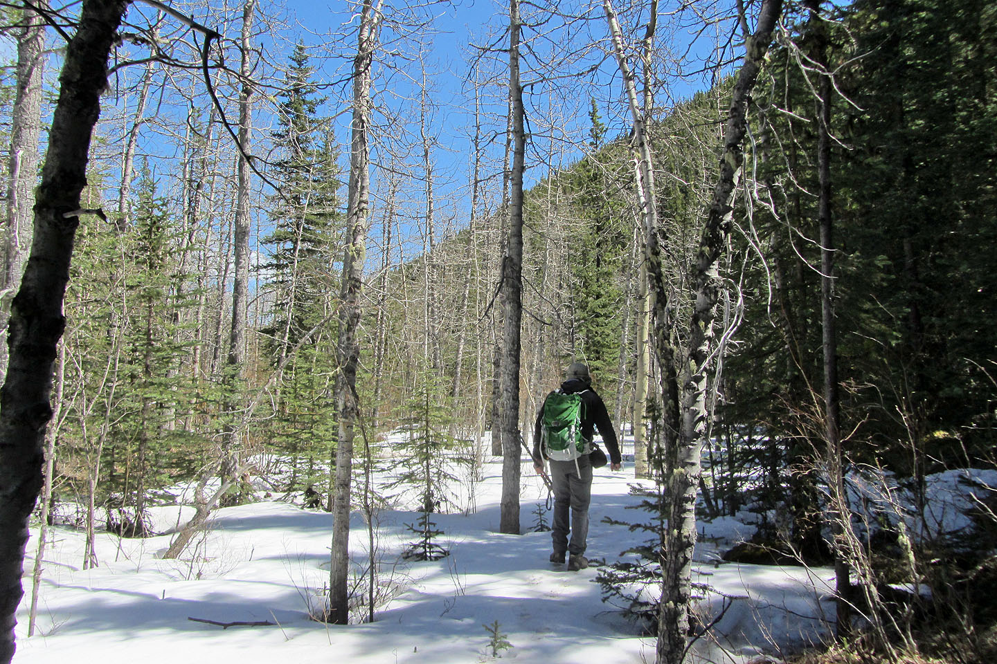
We made our way to Prairie Creek
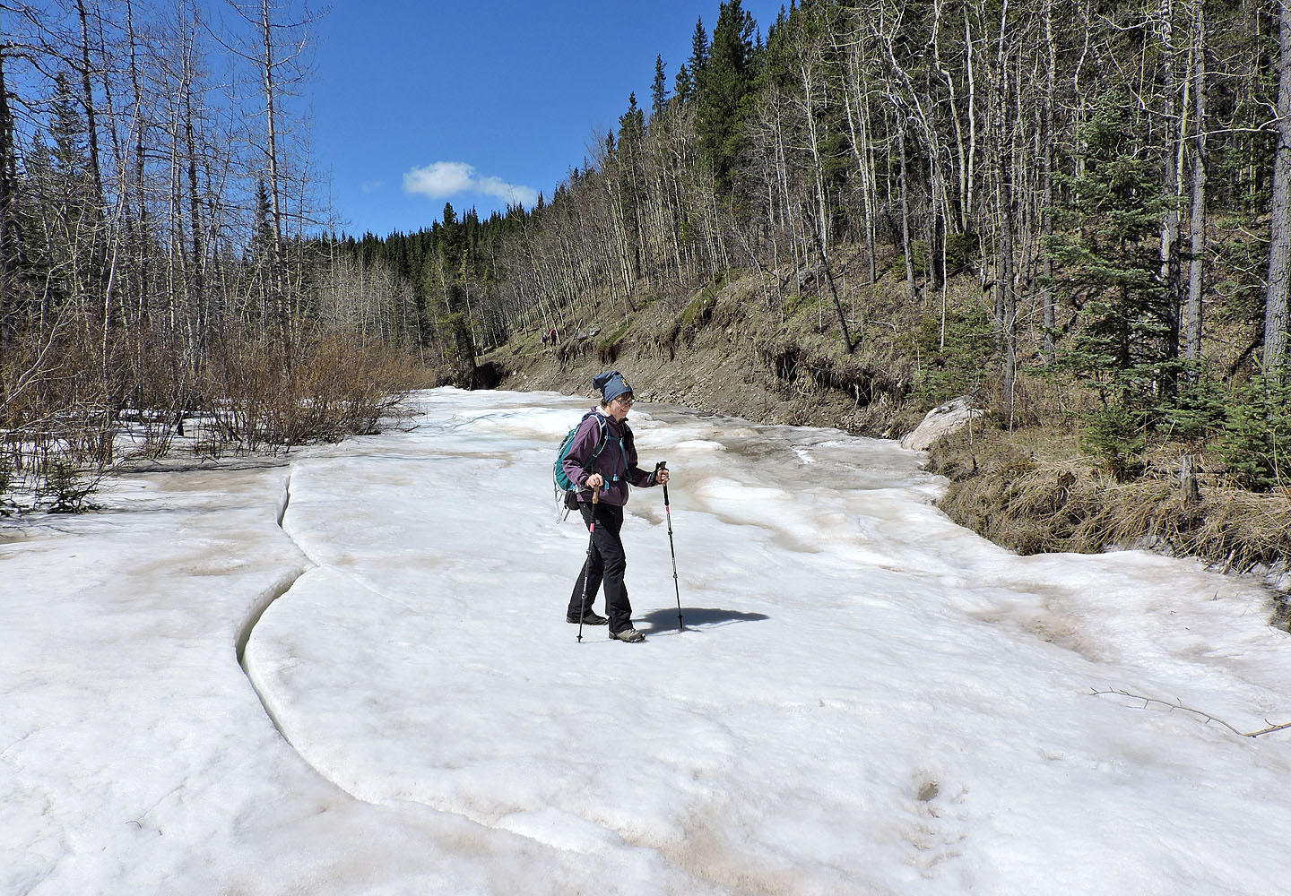
Crossing Prairie Creek
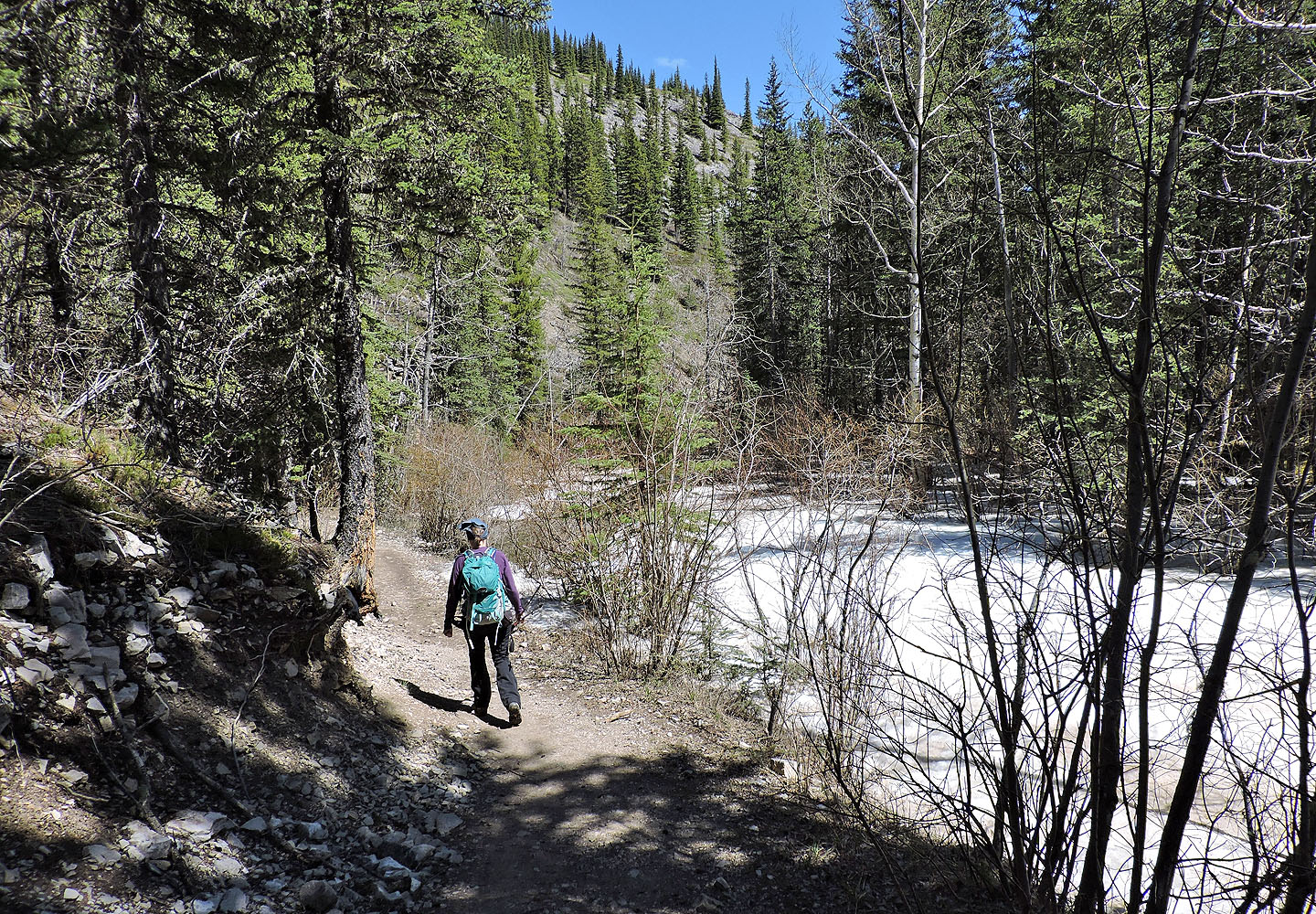
Following Prairie Creek trail
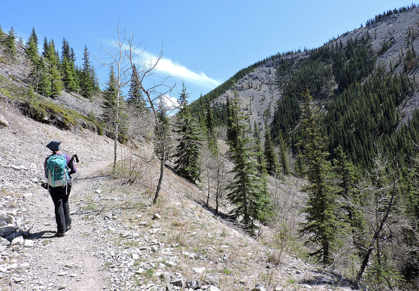
The trail soon climbs giving us a view of the summit we were just on
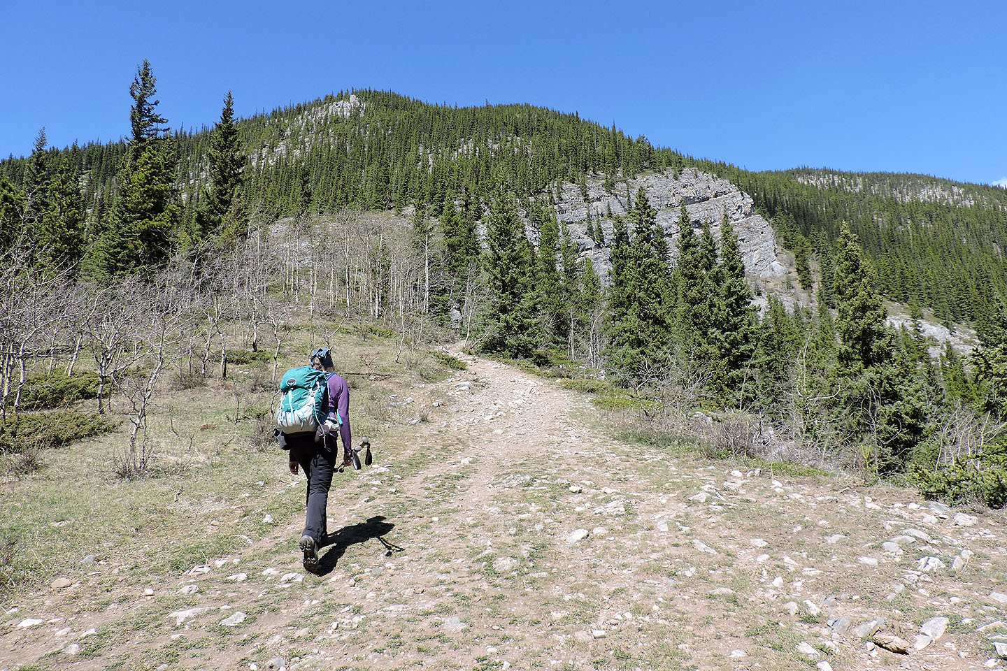
The trail gains 30 m as it climbs toward Prairie Mountain
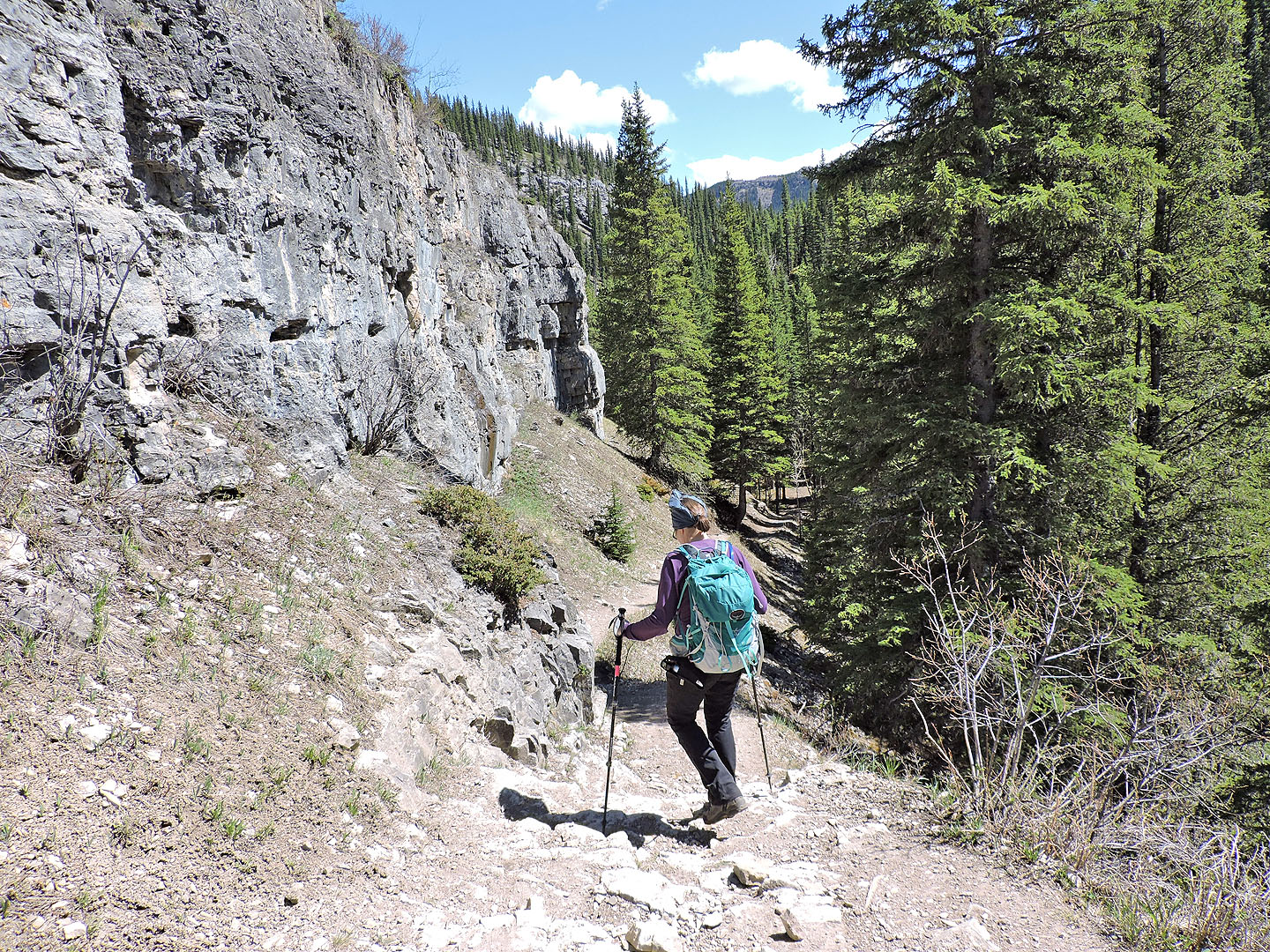
Then it drops back down to the creek
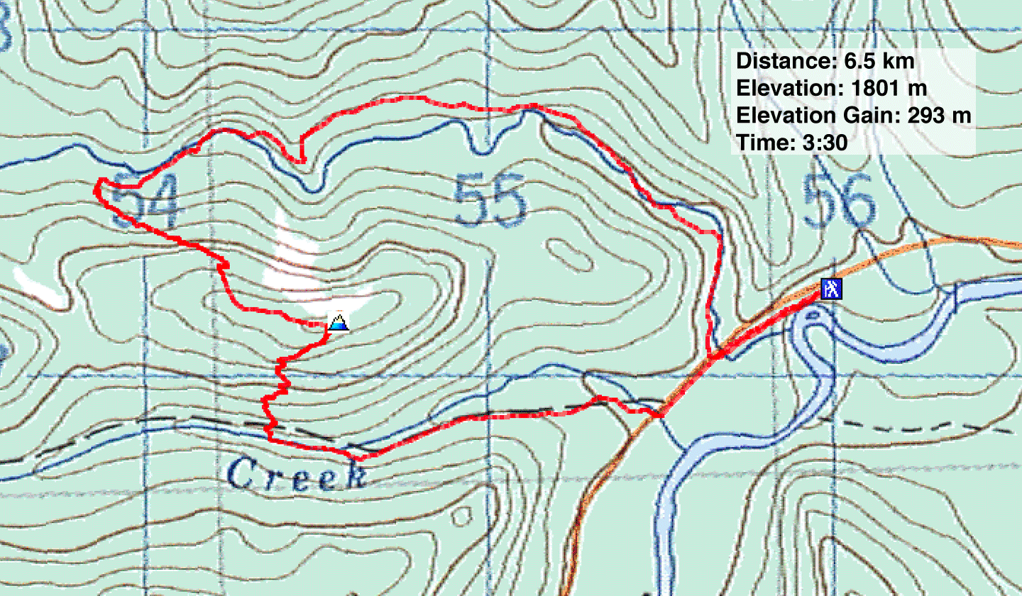
82 J/15 Bragg Creek
