bobspirko.ca | Home | Canada Trips | US Trips | Hiking | Snowshoeing | MAP | About
Mustang Hills, East Summit
Kananaskis, Alberta
November 24, 2012
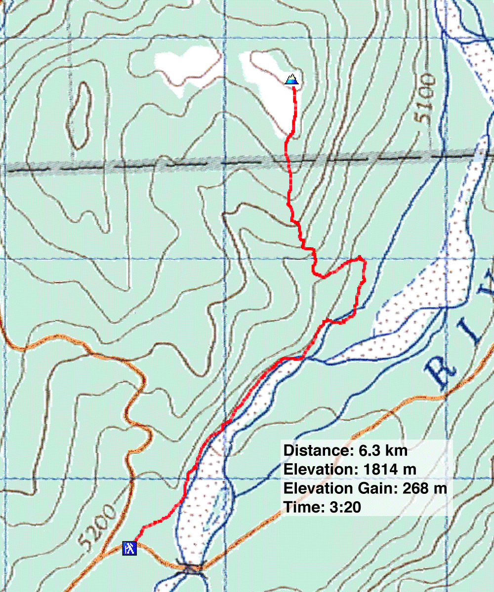
Distance: 6.3 km (3.9 mi)
Cumulative Elevation Gain: 324 m (1063 ft)
Dinah and I revisited Mustang Hills, but unlike our previous trip last winter, we used the Elbow River approach trail and only ascended the East Summit. It would have been nice to do the entire Mustang Hills loop, but this was a morning trip so we could dog-sit in the afternoon.
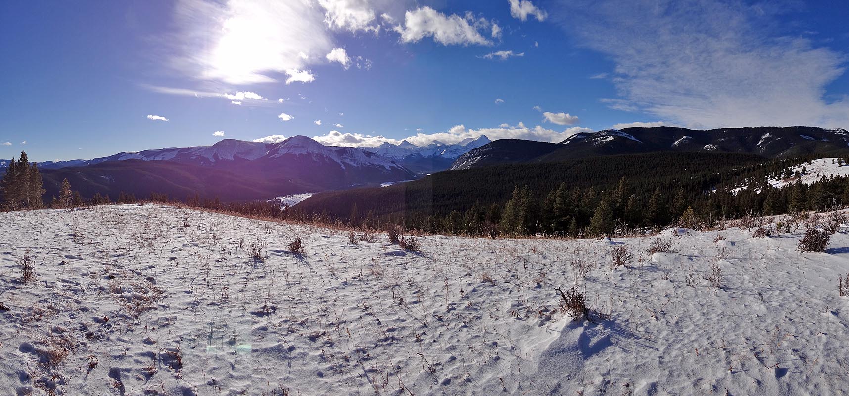
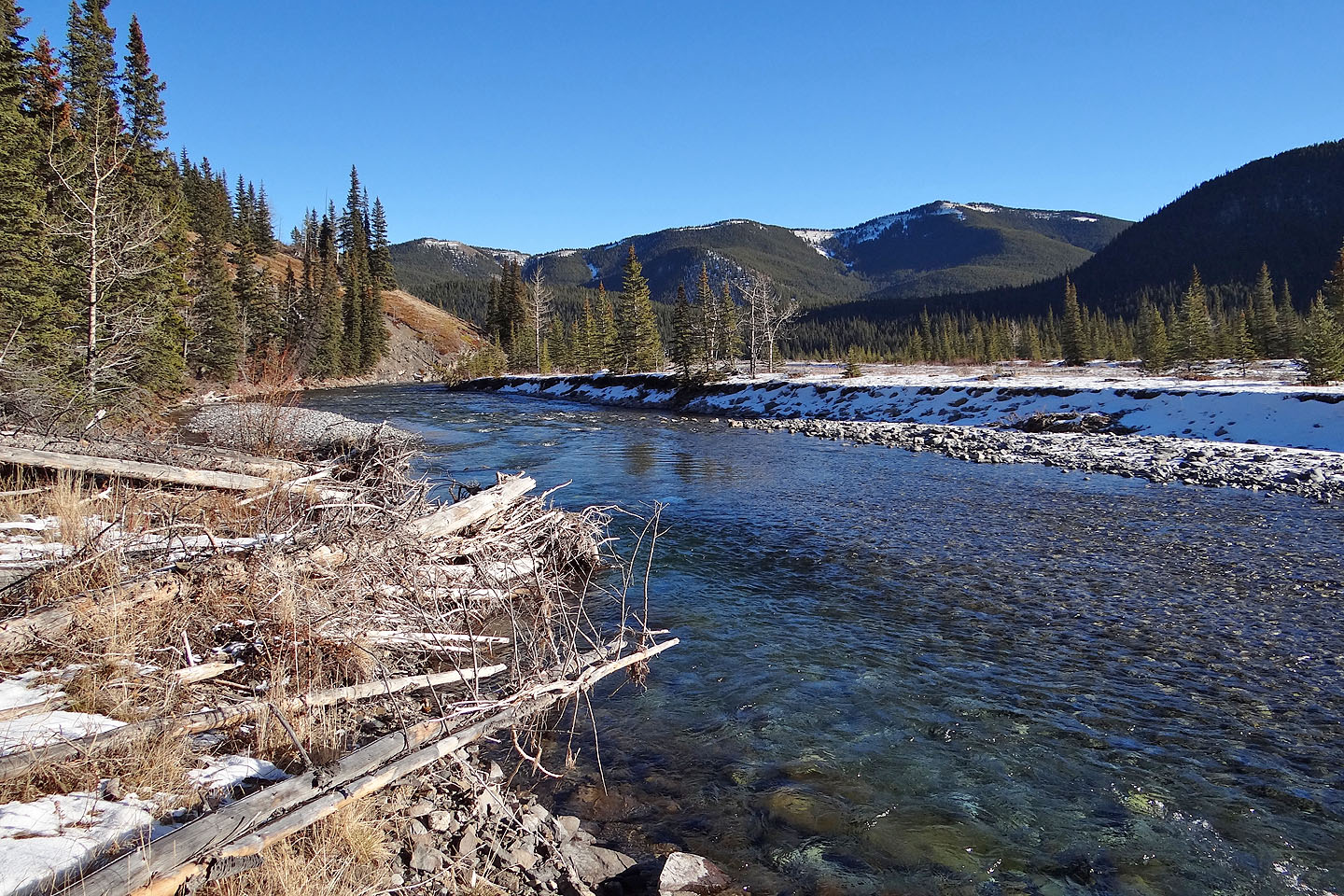
We unwittingly parked at the first parking lot at Cobble Flats. It added an extra 250 m to our route. The trail follows the riverbank for 2 km before veering west and climbing the East Summit. Trees on top of Mustang Hills blocked the view east, but we had a clear sight south. At this time of the year, however, the sun sits low in the south sky leaving the observable mountains in dark shadows. We had hoped to see the wild horses that frequent Mustang Hills. Although hoof prints in the snow attested to recent horse activity on the grassy slopes, there was no sign of the animals themselves. Only later did we see a wild horse, when we started driving away. We passed a lone horse grazing on the lower slopes of Rainy Summit Ridge.
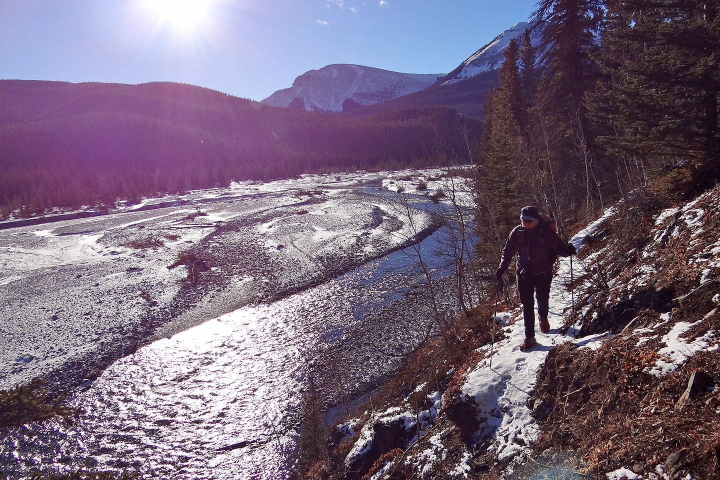
On the riverside trail
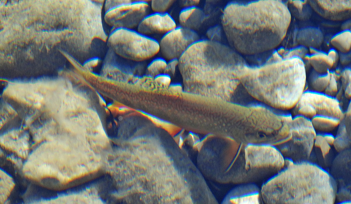
We hoped to see mustangs on the hike but the only wildlife we saw was this fish
The trail along the river was mostly in the trees
Looking east at Swany's and Quirk Ridge
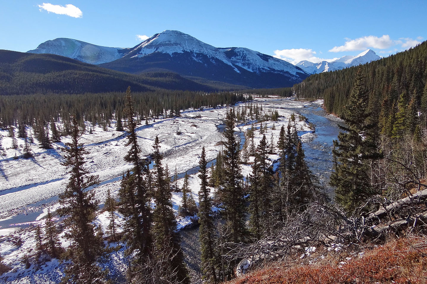
Forgetmenot Ridge rises above Cobble flats
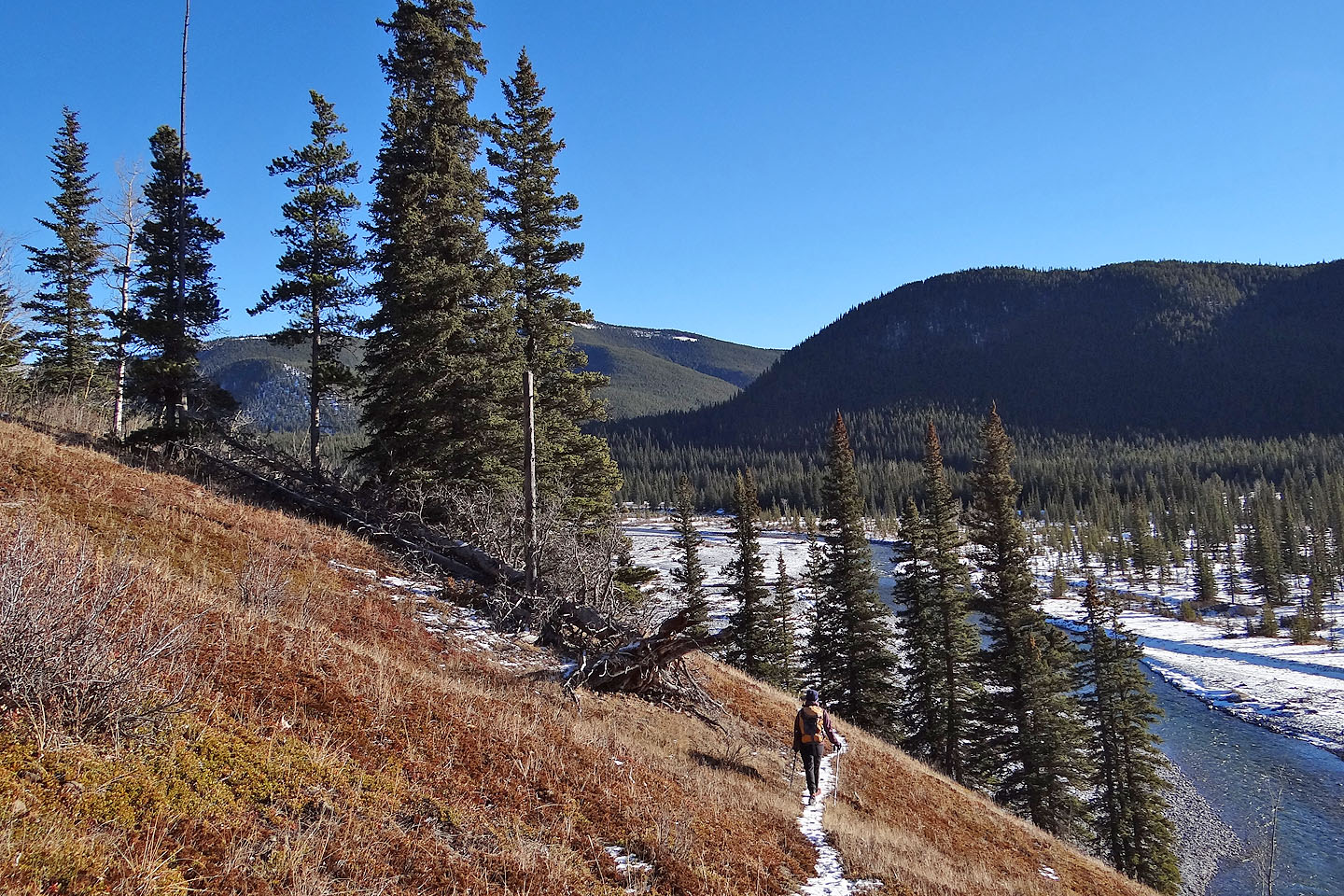
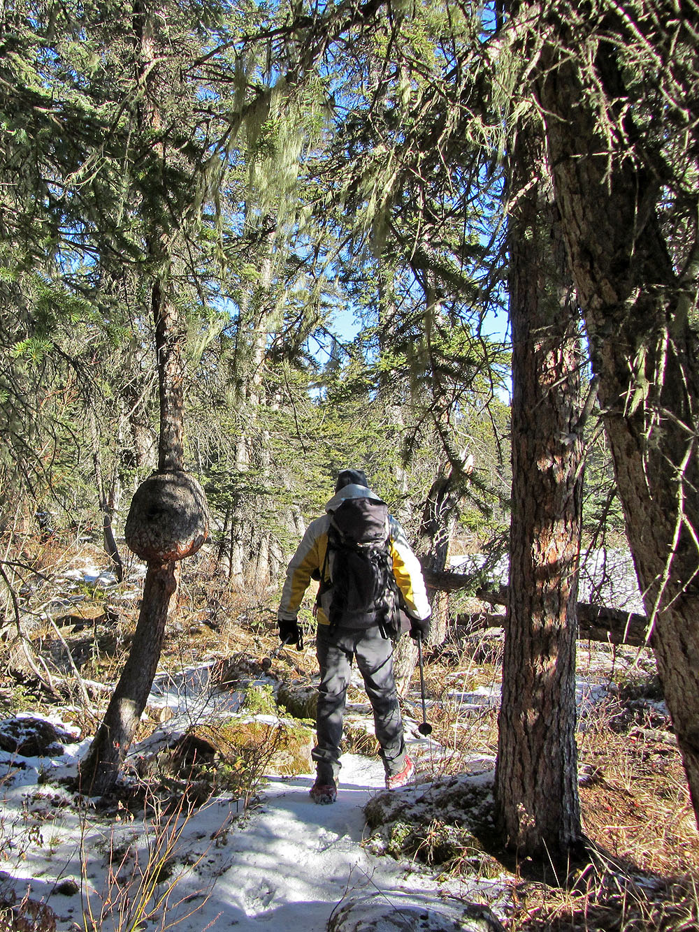
The trail rises and falls in a couple of places
We left the riverside trail and hiked alongside a gully
Cairns dotted the ridge every dozen metres (as if one
could get lost on this open ridge!)

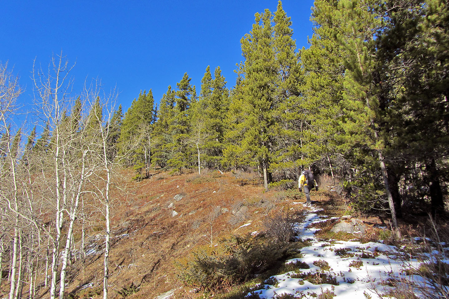
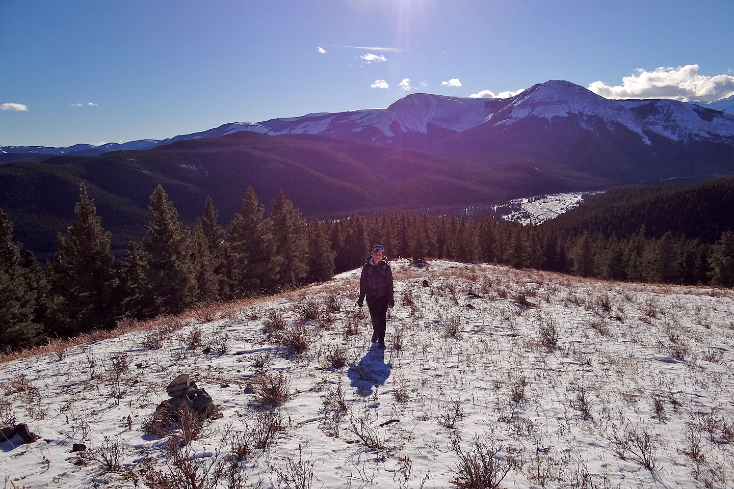
Approaching the summit
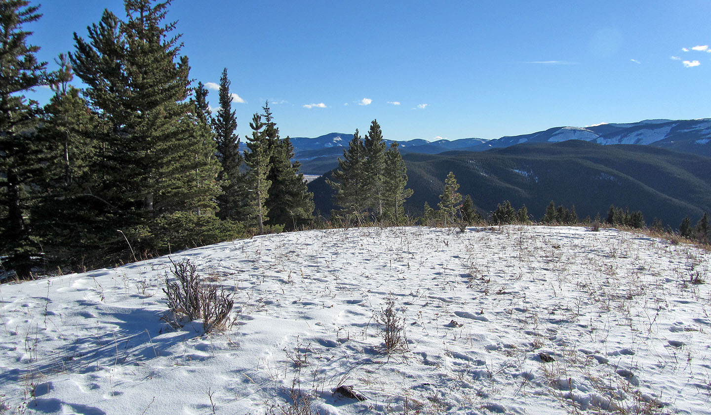
View from the summit
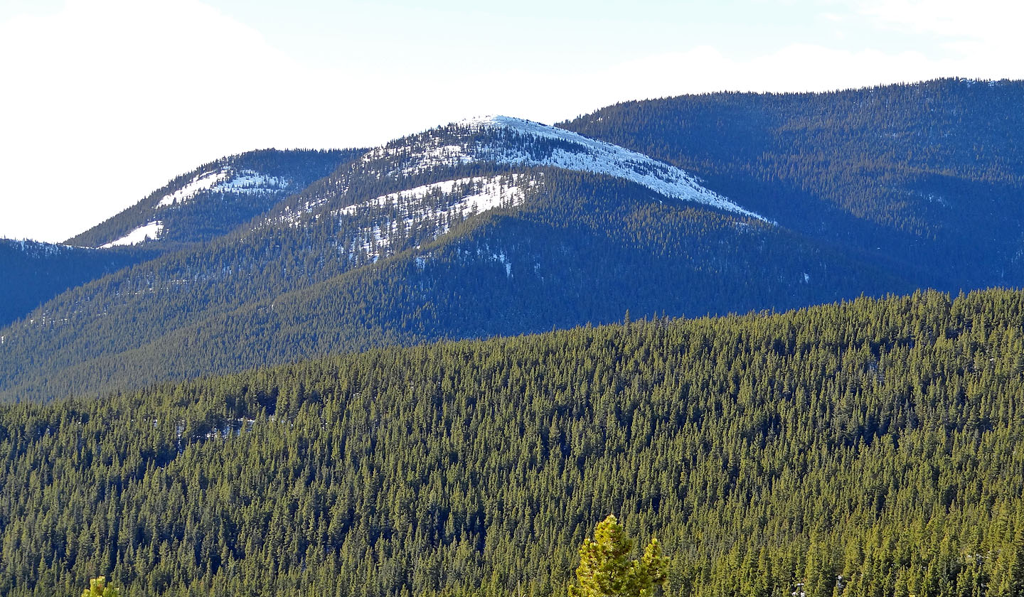
Nearby Rainy Summit Ridge is another quick trip with a trail
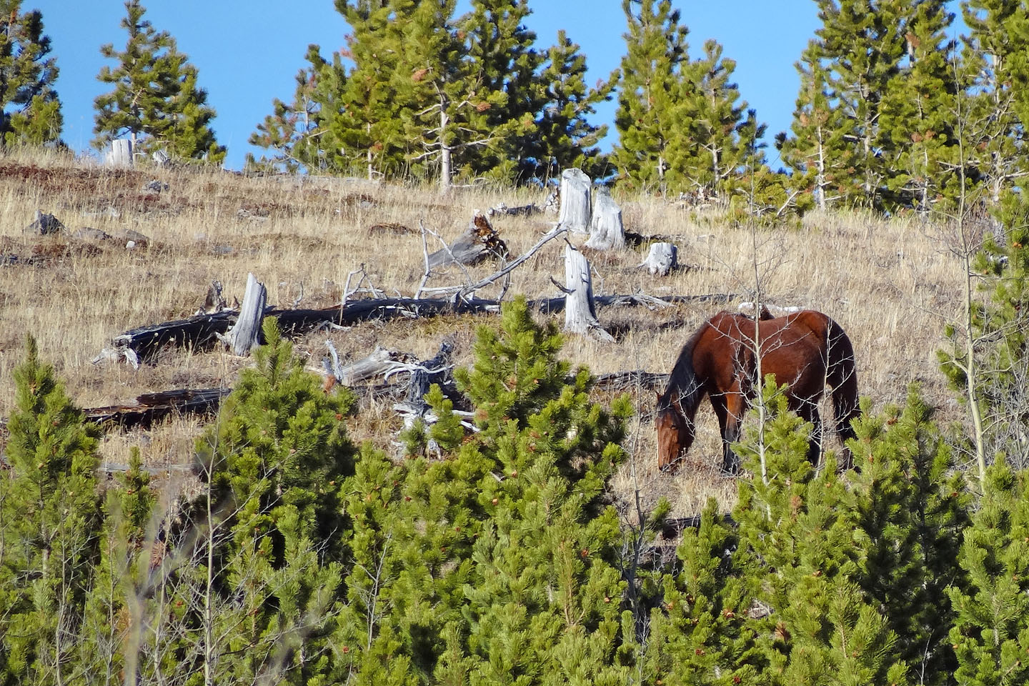
While driving back, we saw a wild horse on the lower slopes of Rainy Summit Ridge
82 J/15 Bragg Creek