bobspirko.ca | Home | Canada Trips | US Trips | Hiking | Snowshoeing | MAP | About
Sunrise Hill (East Approach)
Kananaskis, Alberta
July 27, 2019
Distance: 4.5 km (2.8 mi)
Cumulative Elevation Gain: 426 m (1398 ft)
When Dinah and I first hiked Sunrise Hill in late 2012, it took 3.5 hours. Back then, when the trail only went partway, we were hampered by routefinding as well as snow. But now Rainy Summit Ridge trail runs all the way to the top, and in dry conditions, it's a quick trip. For a longer trip use Powderface trail.
We parked at a pullout on Highway 66, on the rise before Forgetmenot Pond. We could have walked down the highway a bit to catch the dirt road, but instead, we crossed the meadow and intersected the road before it entered the trees. Soon after, the road forked and we kept left. We followed the road until it ended and a single track began. After that, we stuck to the trail all the way to the summit.
Despite being relatively short, we found the trail engaging. It follows a rocky spine and crosses a couple of clearings before climbing steeply to the bare summit. Here our solitude was broken. Two groups were already on top with another group on the way from Powderface Ridge. We were also met with a blustering wind, strong enough to make one stumble. We stayed long enough to take some photos and then skedaddled back down.
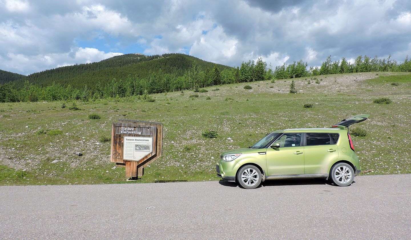
From the pullout, we crossed the meadow to find a road
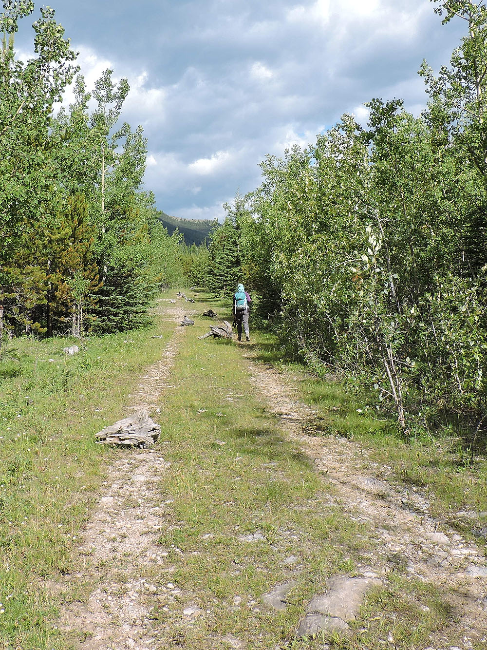
Chunks of trees apparently placed on the road to discourage off-roading
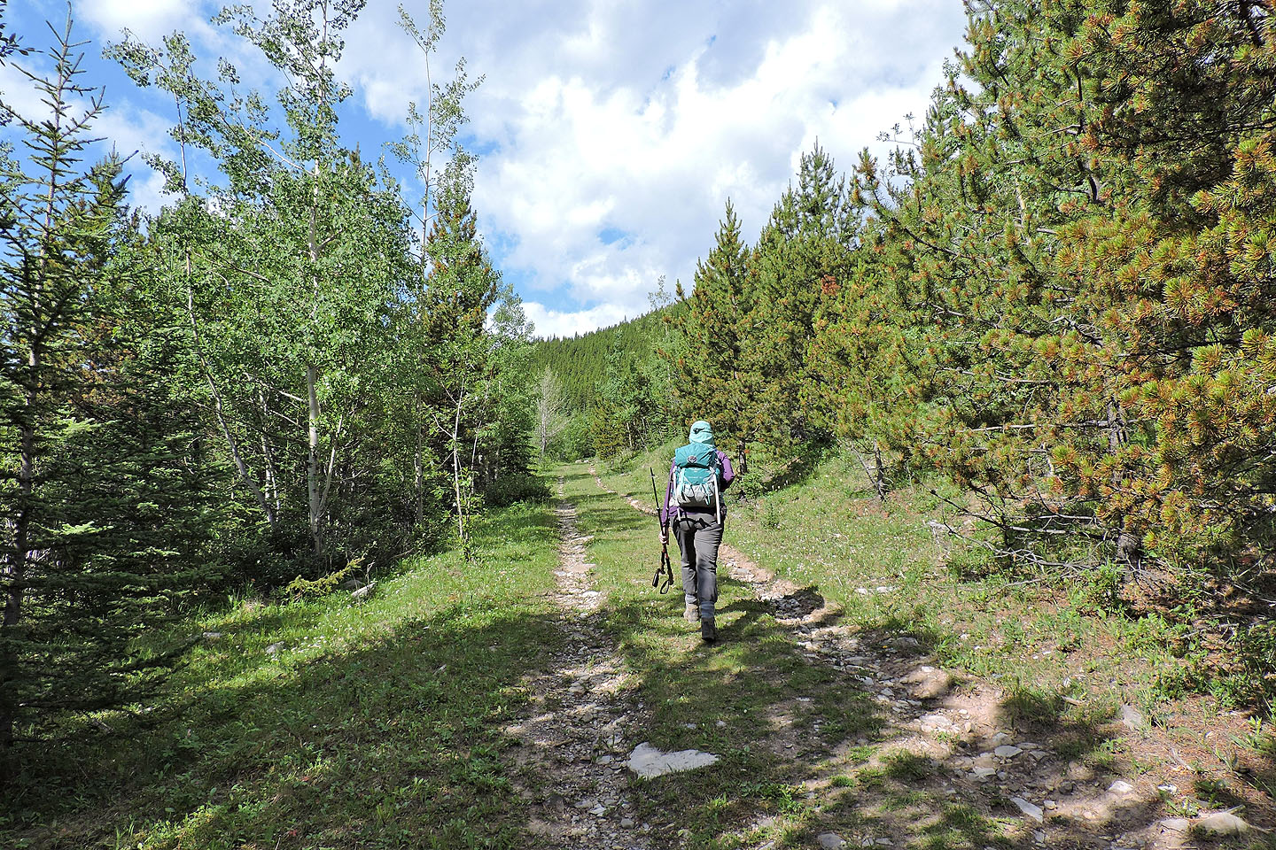
Going up the road after taking the left fork
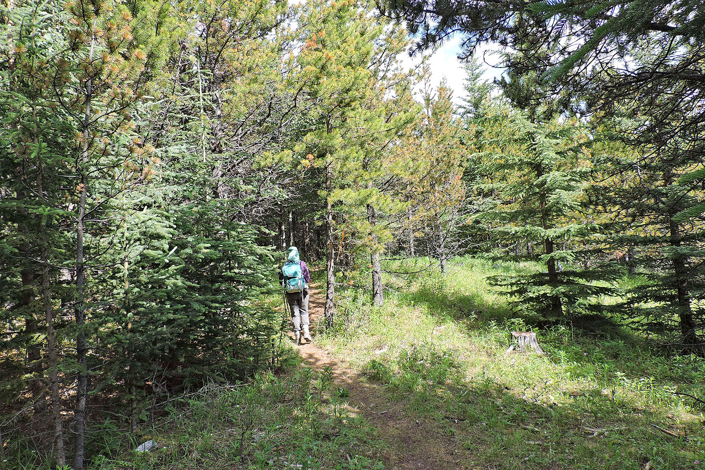
The road ends and a single track begins
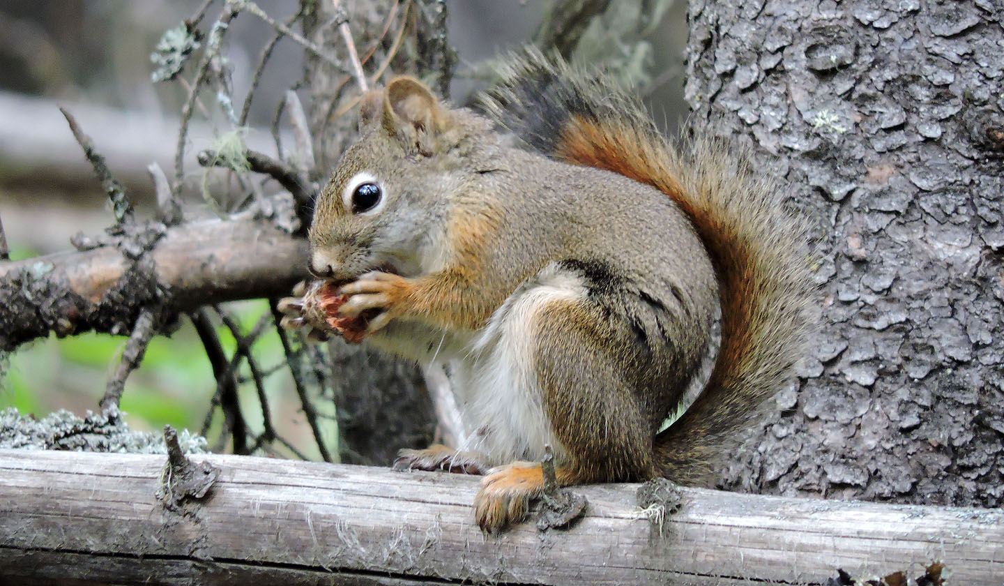
A red squirrel gnaws on a pine cone
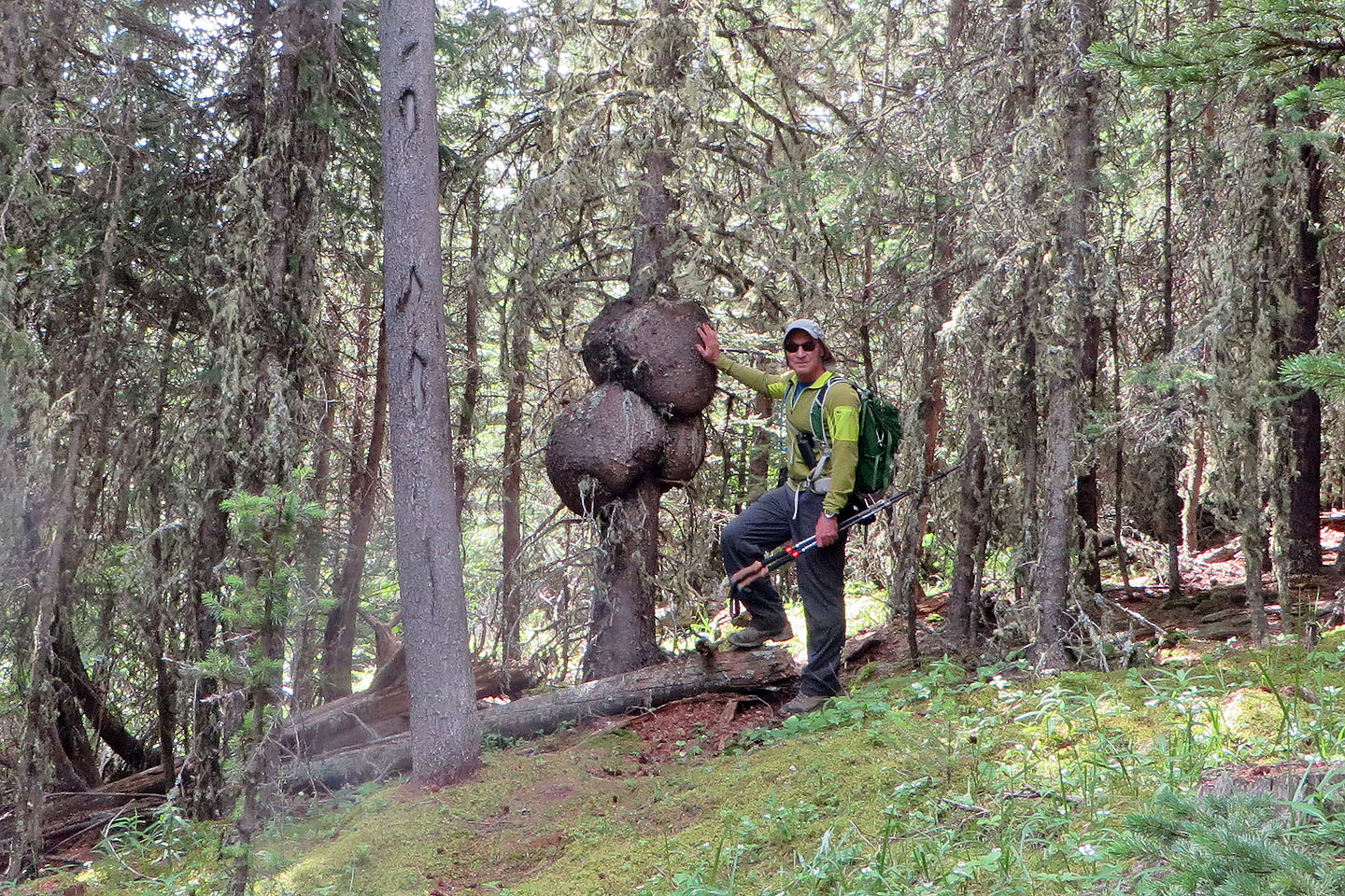
Huge burls encircle a tree near the trail
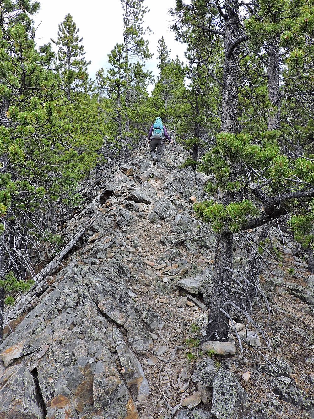
The trail follows a rocky spine for a time
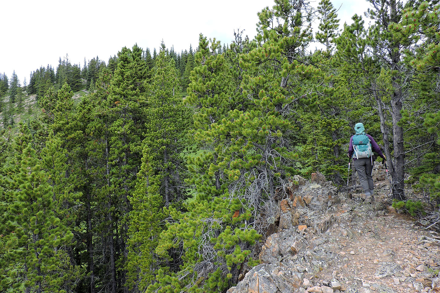
Afterwards the trail flattens out
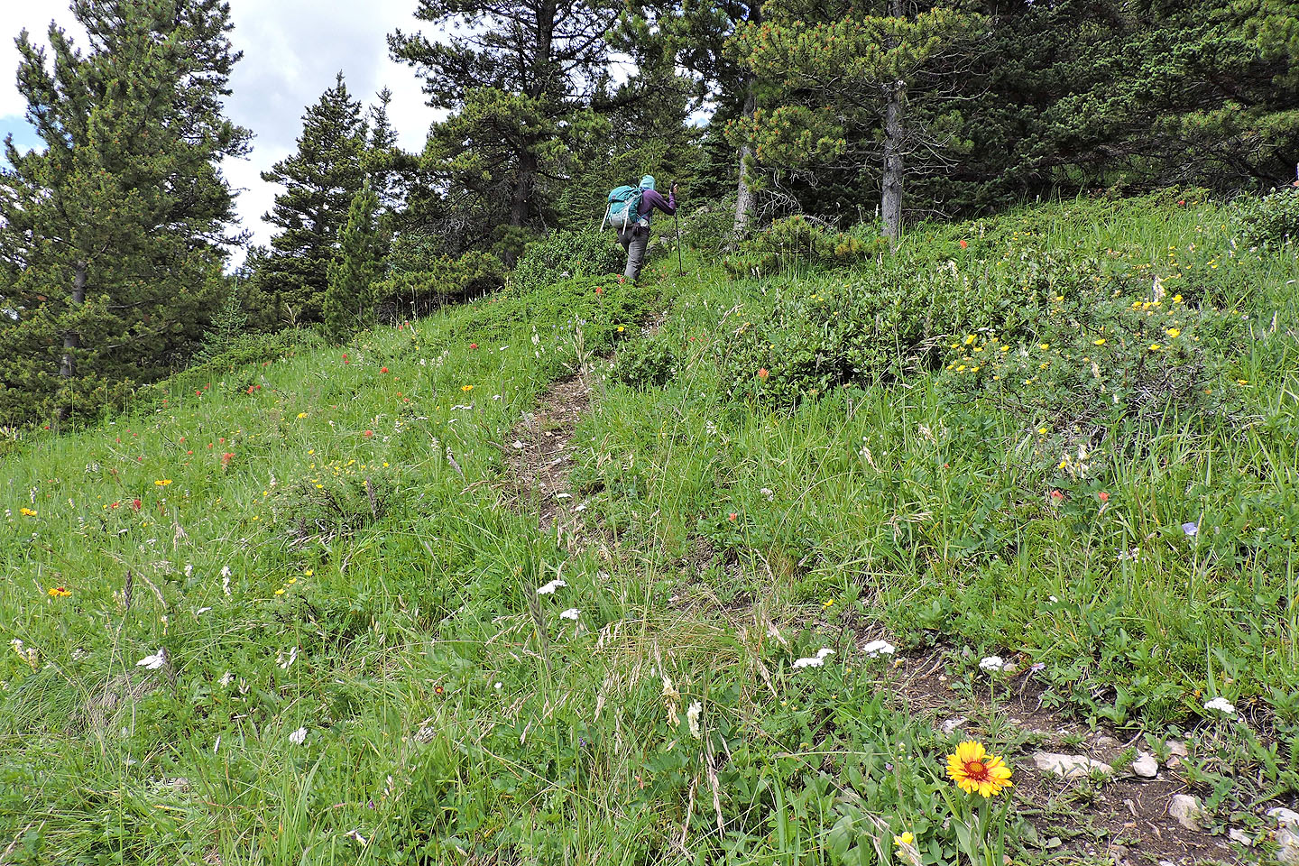
Going up a meadow dotted with wildflowers
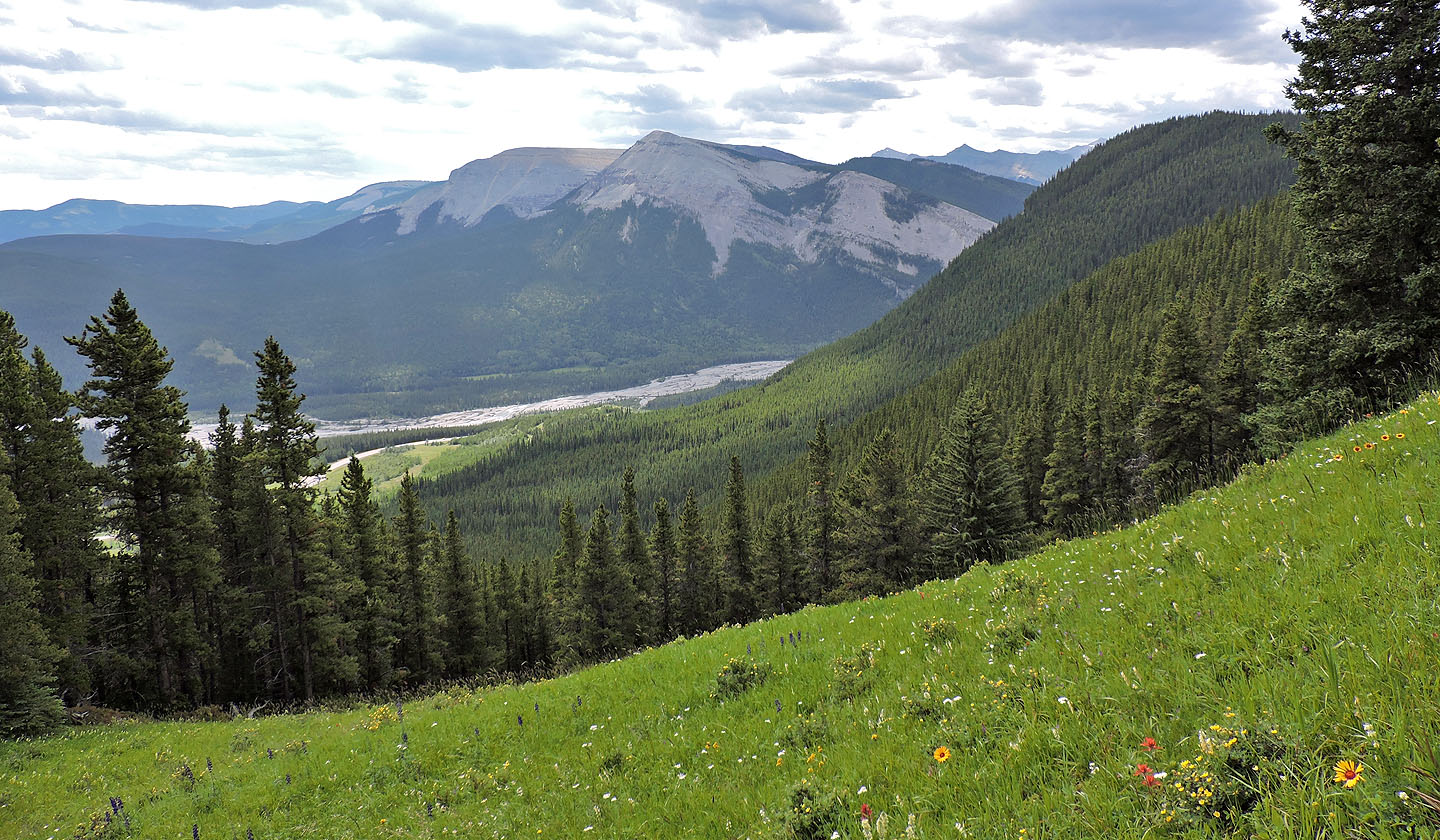
Forgetmenot Mountain and Forgetmenot Ridge
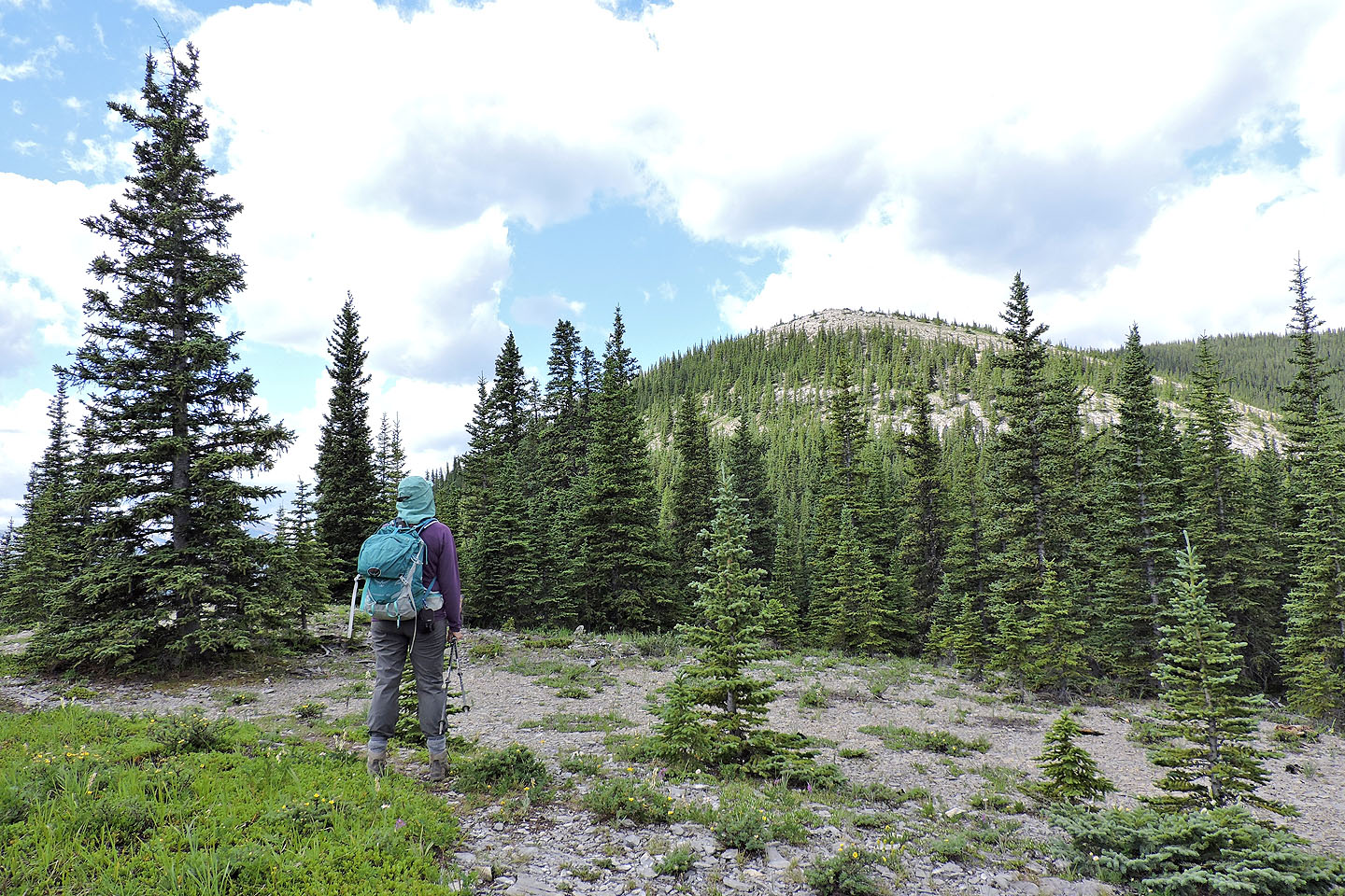
The summit appears ahead
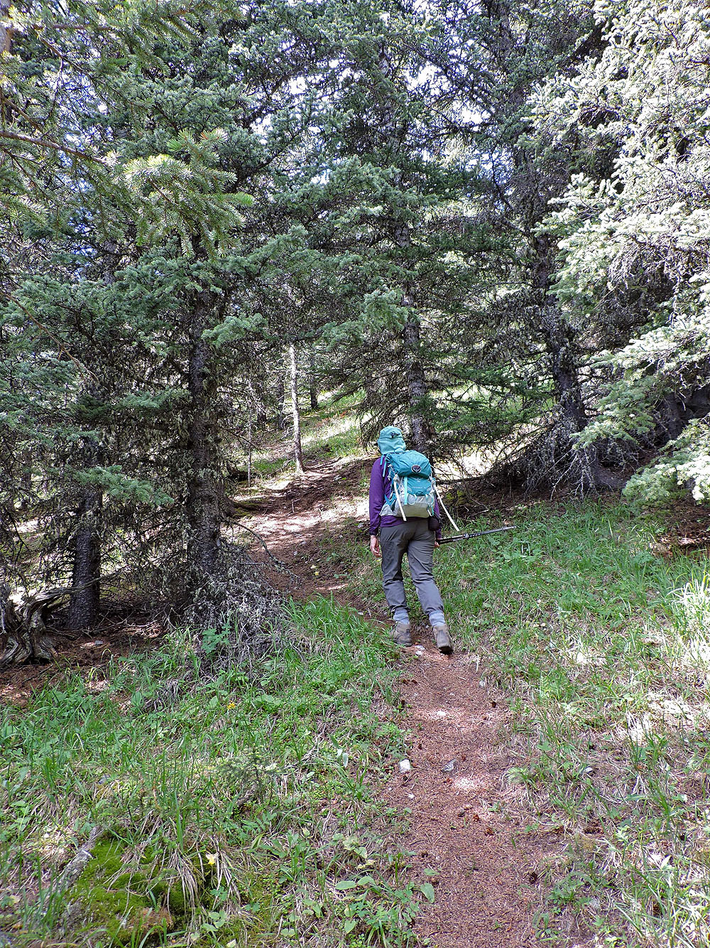
The trail dips back into the woods and then starts climbing
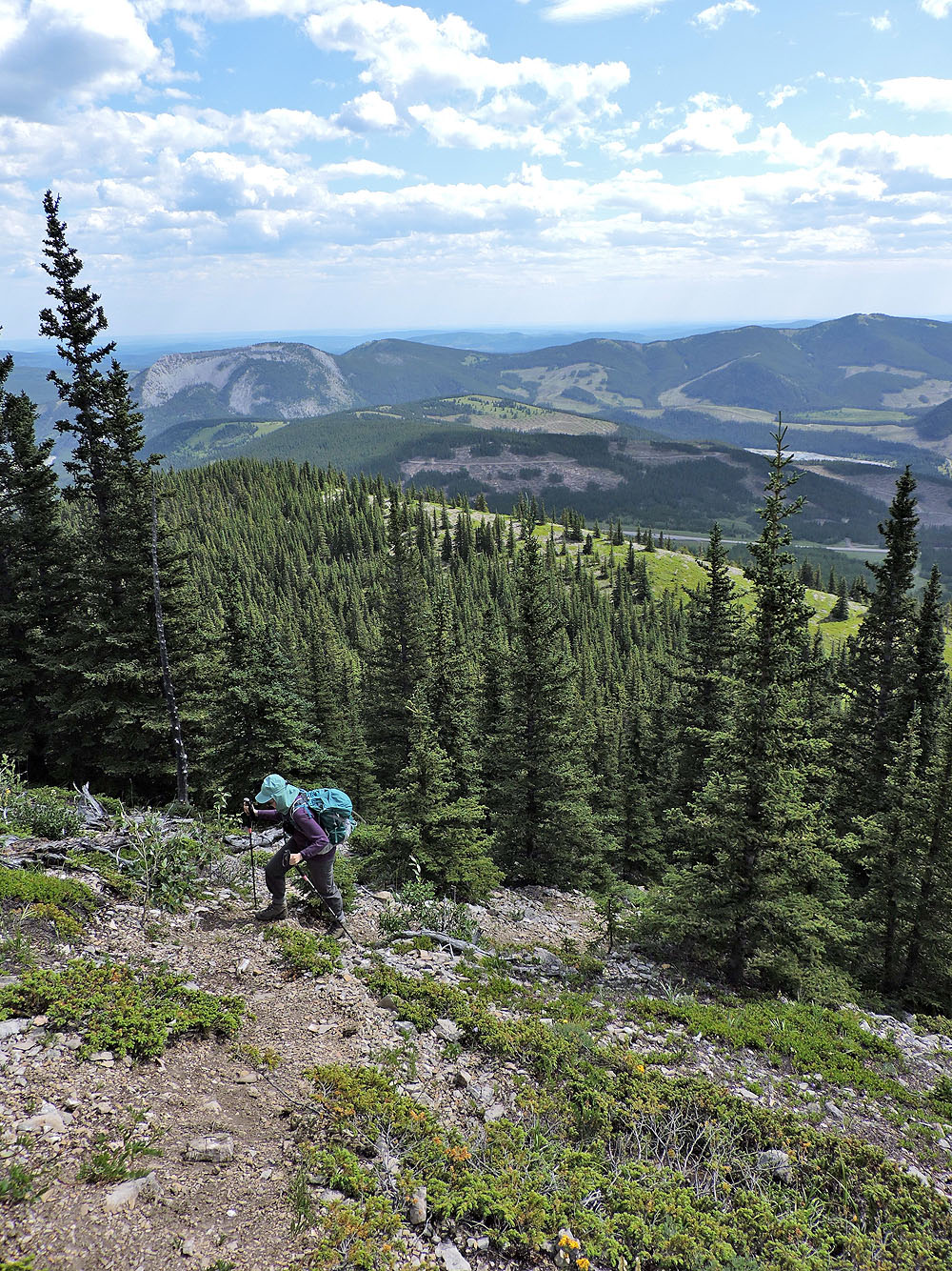
We hiked up a semi-open slope before reaching the summit
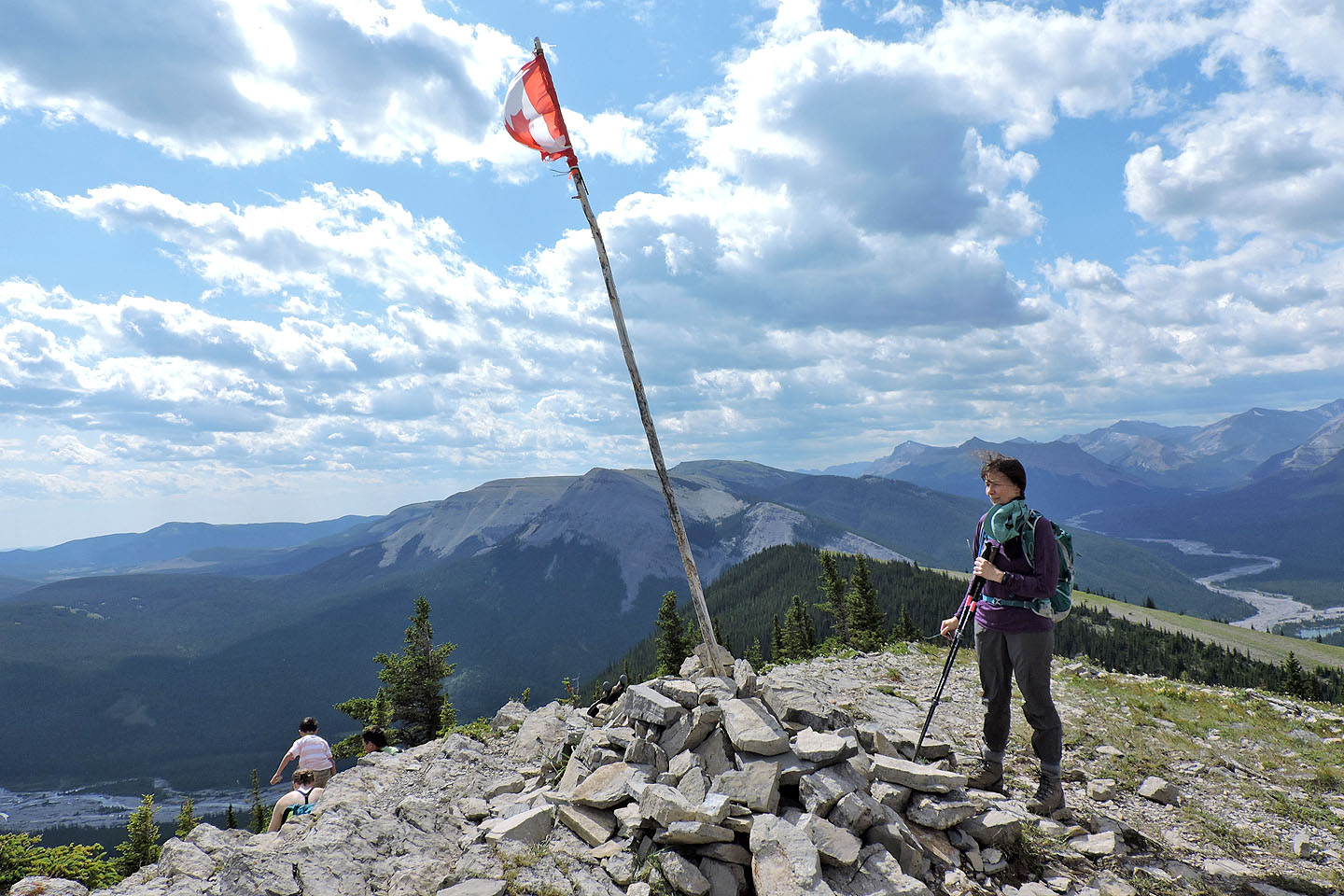
A Canadian flag fluttered from a pole on the top
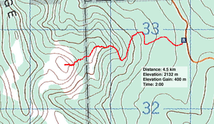
82 J/15 Bragg Creek
