bobspirko.ca | Home | Canada Trips | US Trips | Hiking | Snowshoeing | MAP | About
Mount Chesmill Loop
Kananaskis, Alberta
July 13, 2024
Distance: 11.0 km (6.8 mi)
Cumulative Elevation Gain: 1094 m (3589 ft)
There are a few ways to climb Mount Chesmill, but we were attracted to the original route by So Nakagawa. He ascended a subpeak, crossed a saddle to climb Mount Chesmill and then descended a gully from the saddle. However, he snowshoed it in winter conditions; we weren't sure what to expect in the summer. Zora, Christine, Tomiji, Jonathan and I would have fun and travails finding out.
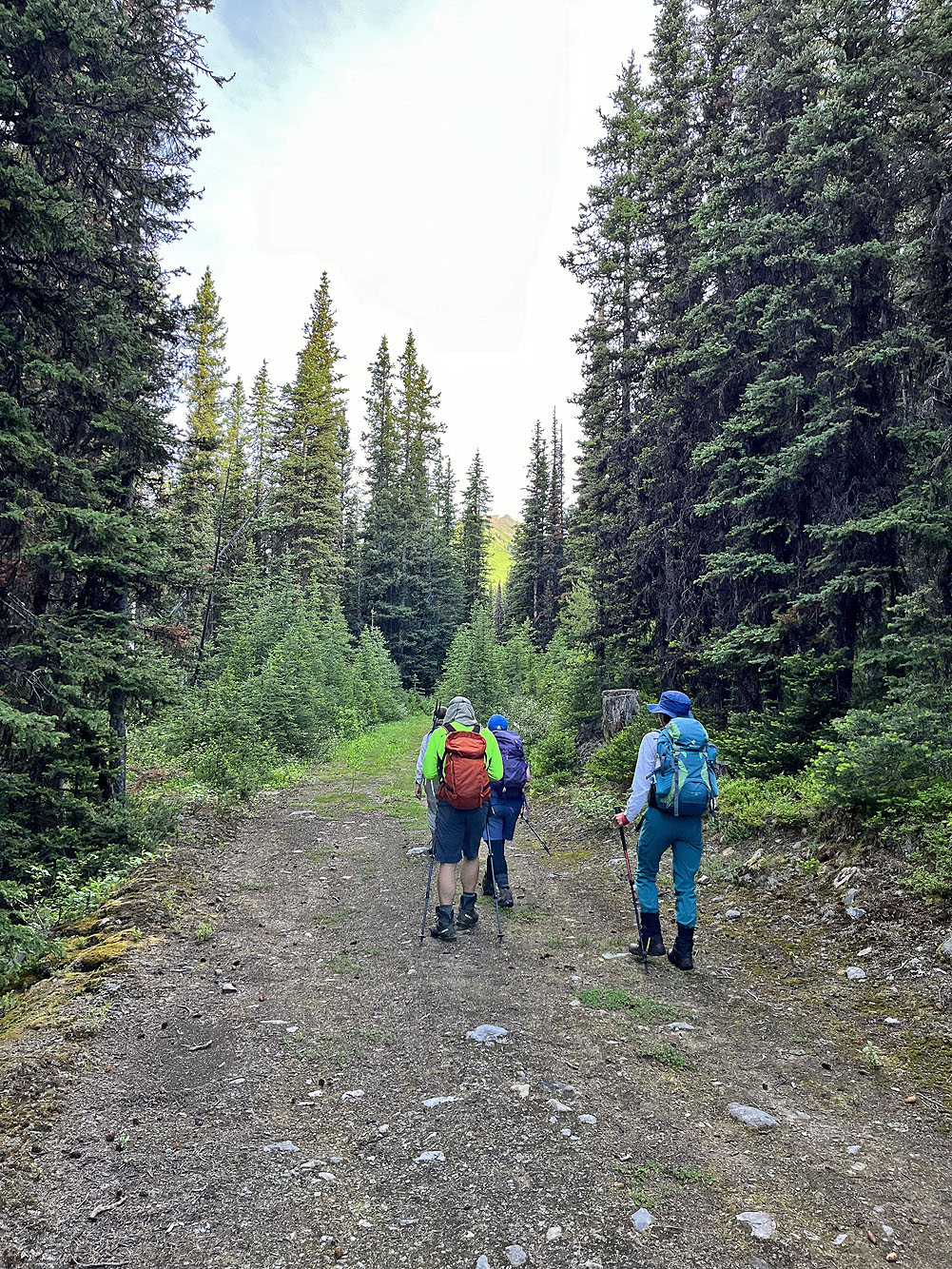
From the Sawmill day-use area, we started down James Walker Creek logging road. After hiking nearly three kilometres, we spotted flagging in the trees below. We followed the flagging through a dense forest to James Walker Creek.
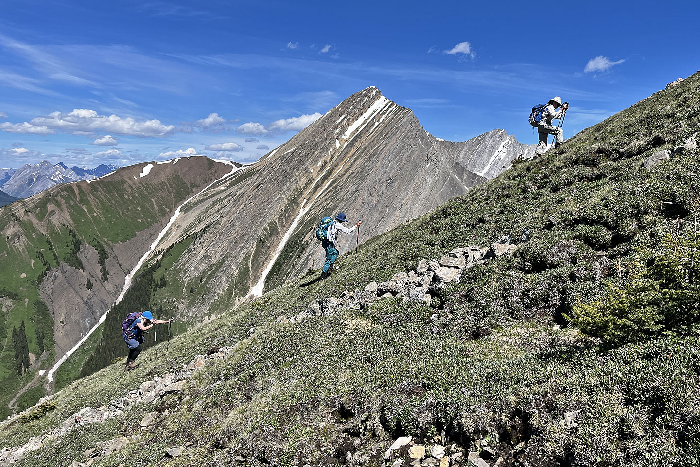
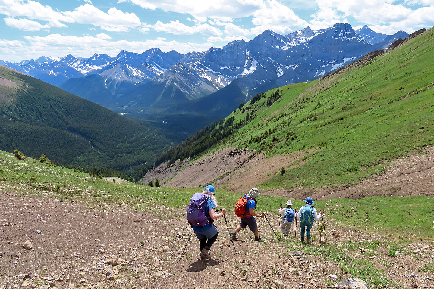
After crossing the formidable, rushing water, we started up the other side, sans flagging. A short but challenging bushwhack led to a beautiful clearing. Wildflowers of every kind and colour blanketed a meadow that extended for hundreds of metres. The extra-steep slope slowed us as did the frequent stops to take photos. Never before have I seen such an extensive array of wildflowers in Kananaskis.
For a long time, trees on our left prevented us from gaining the ridge crest. When we finally reached the open ridge, we had a far-reaching view of countless peaks. Yet the summit of the subpeak was still far away.
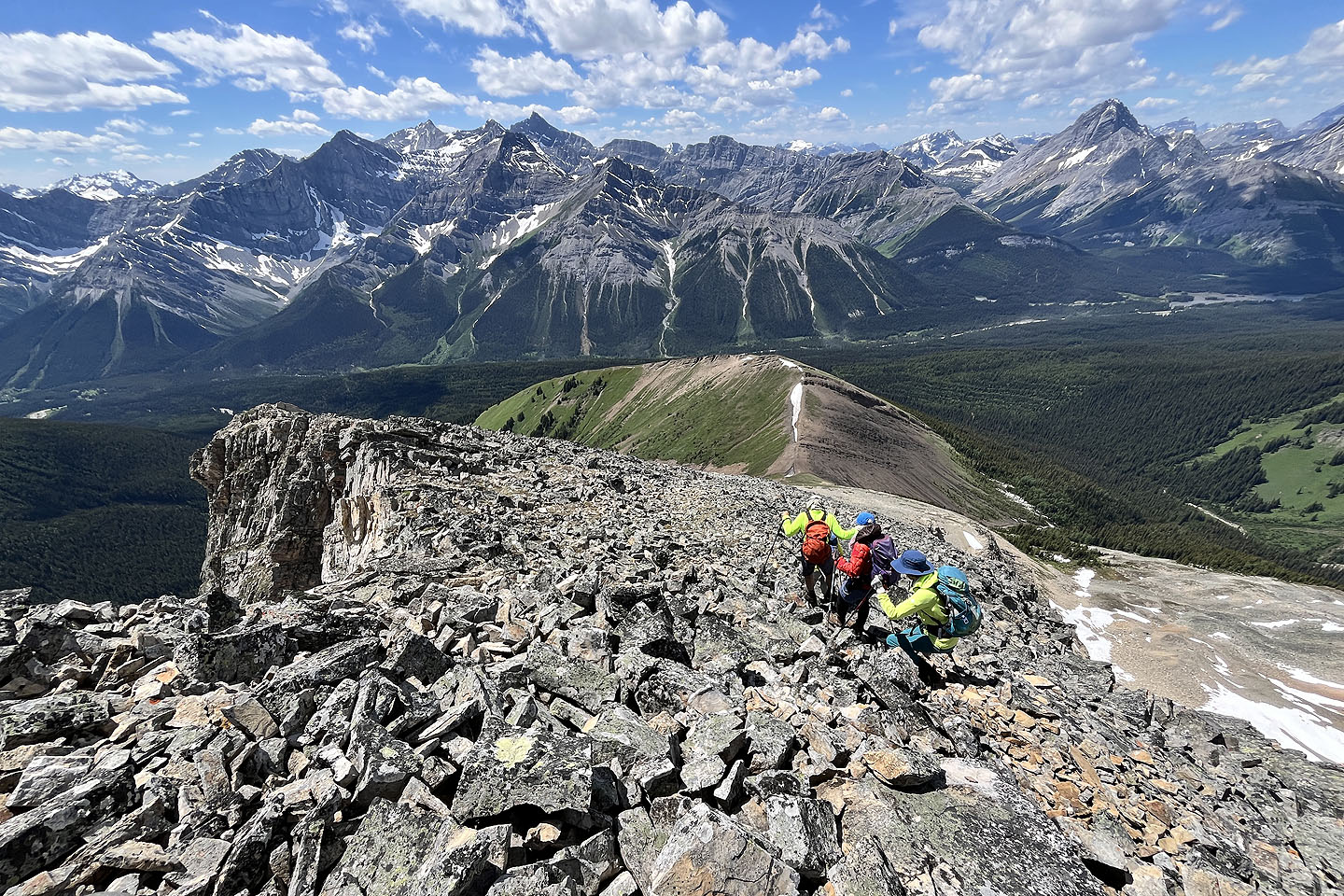
After reaching the top, we dropped 50 m down to the saddle at the base of Chesmill. A long plod to the summit remained, over 300 m up a relentless grade.
After taking a requisite break on top, we started down, taking advantage of short stretches of scree. Back at the saddle, we looked down the descent gully. Perhaps late in the season, it would make a fine descent, but now water coursed down it. More ominous were the snow bridges near the bottom.
Having to choose between the grass on the left or the soft dirt on the right, we chose the right side of the gully. At first, this worked well, but as we descended, the slope angle increased, and it became difficult to stick to the steepening side. Near the end of the gully, Christine lost her footing and slid down several metres, stopping just short of a snow bridge.
After exiting the gully, we faced crossing the creek again. Fortunately it was easier this time. On the other side, we caught a trail that led back to the logging road, back to our car.
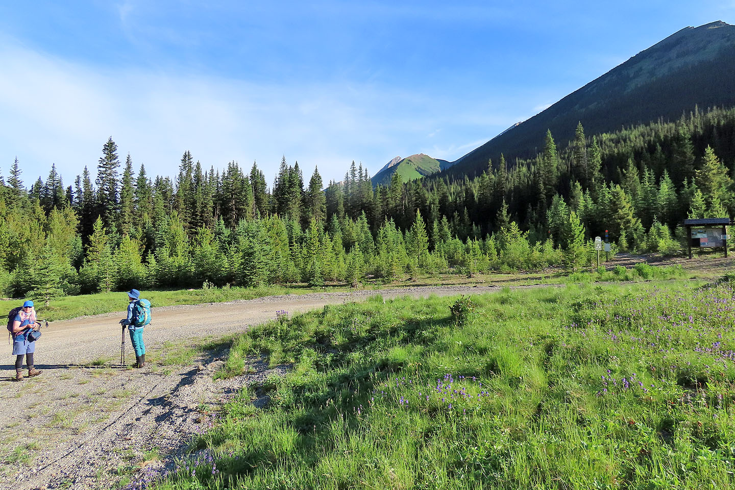 From Sawmills trailhead, we could view the subpeak and the saddle (mouse over for a close-up)
We caught glimpses of the subpeak as we hiked up the trail
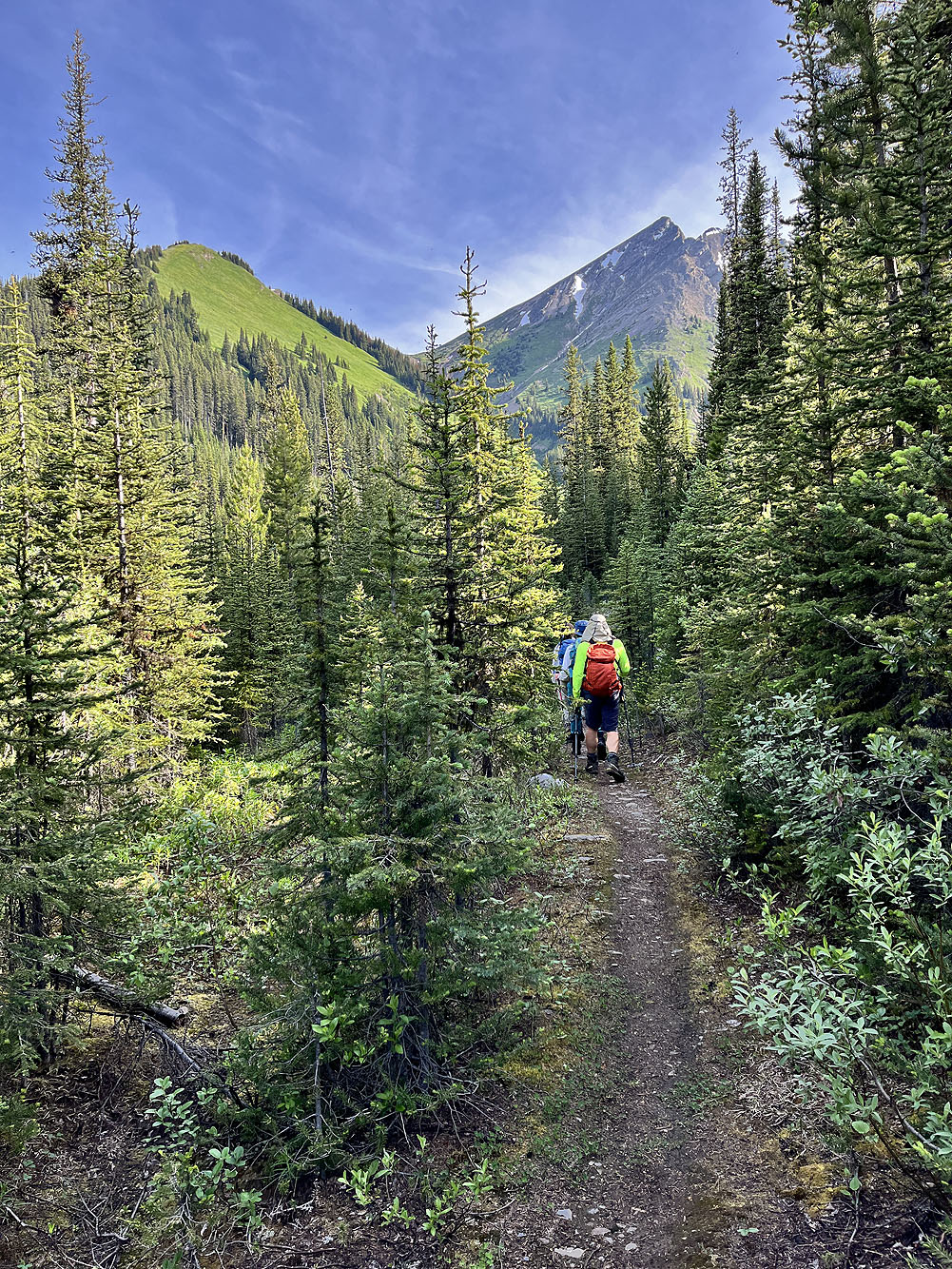
Mount Chesmill came into view
 From the road, we followed flagging down to James Walker Creek
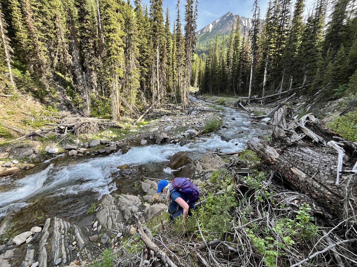 We went upstream a bit before crossing the creek
 Crossing the icy creek
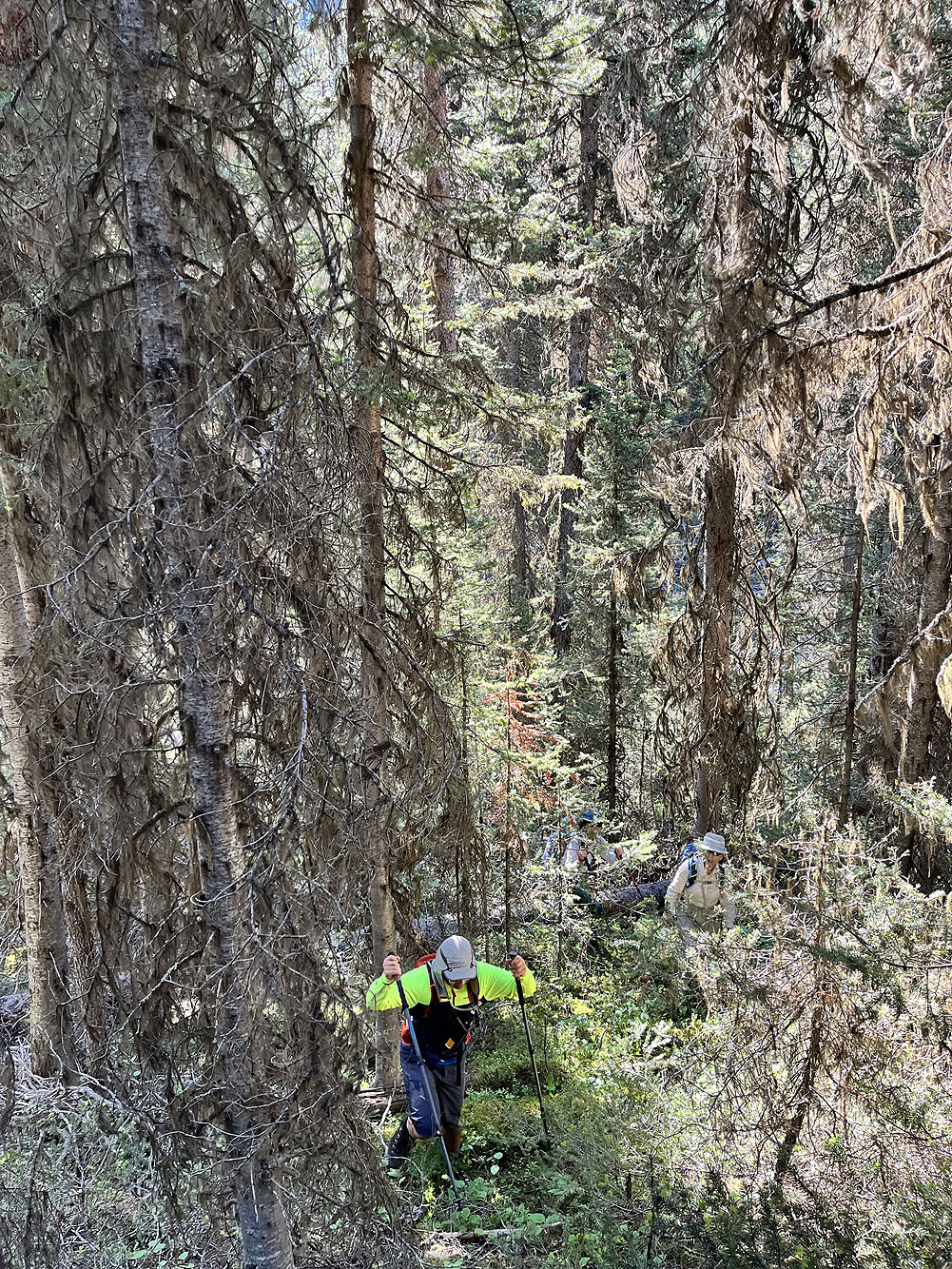
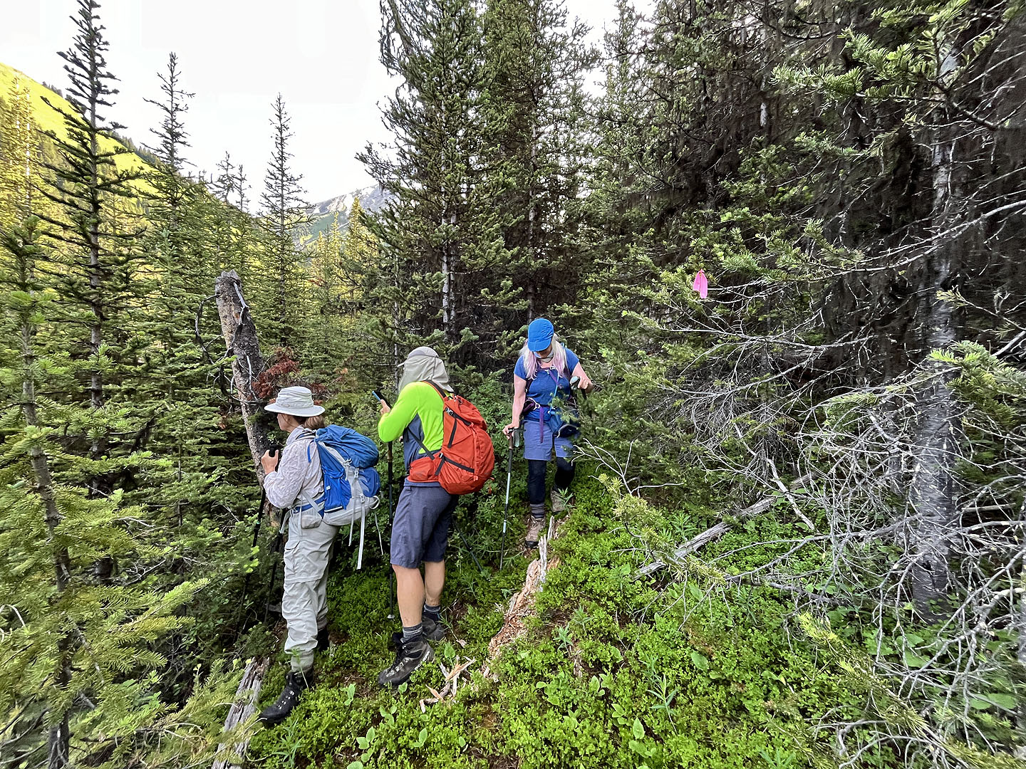
After crossing, we found narrow passages through the
dense forest
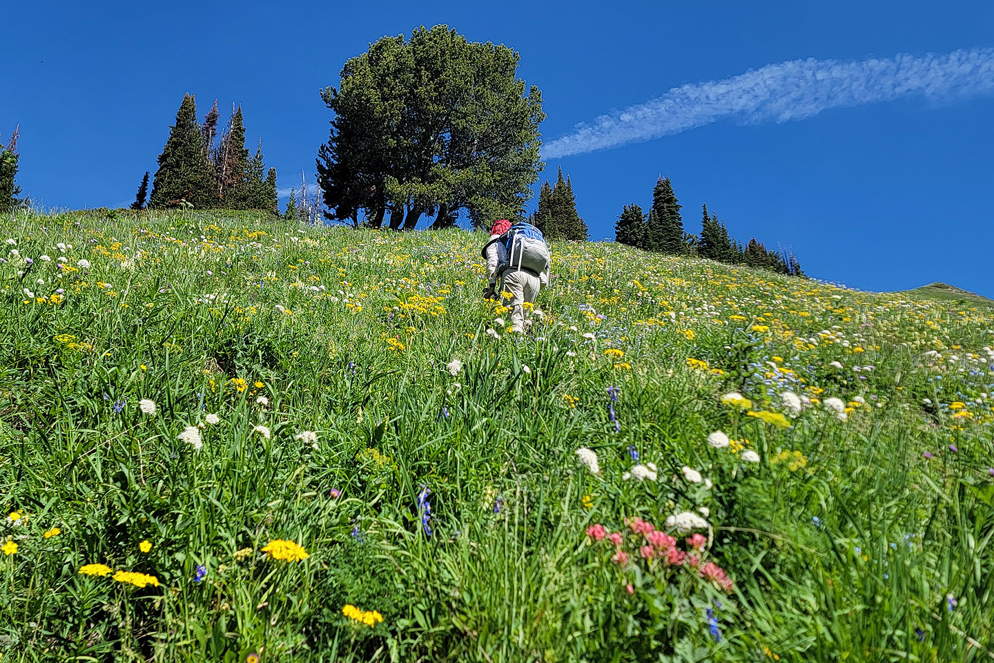
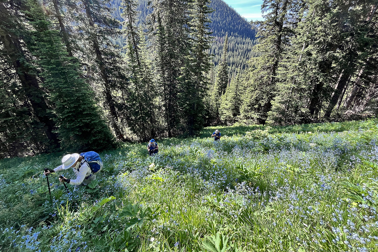 After emerging from the trees, we waded through forgetmenot wildflowers
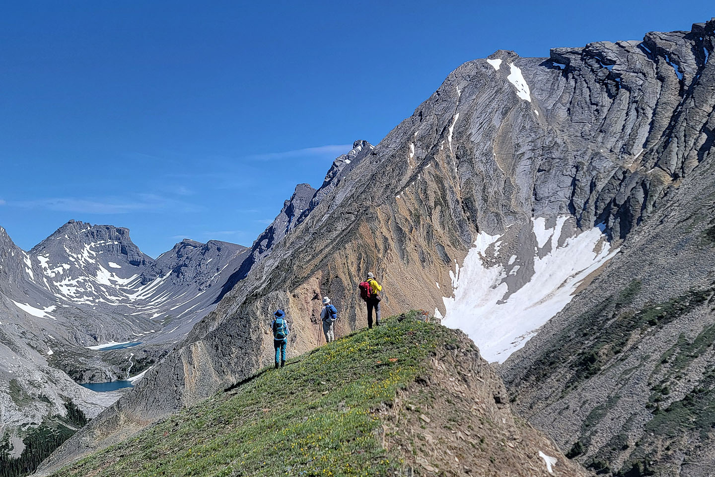
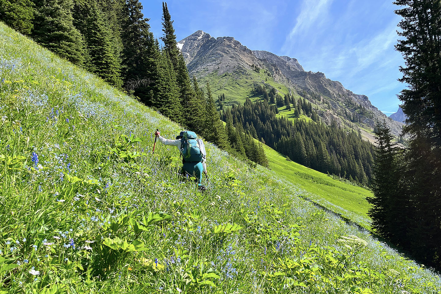 Chesmill appears above Tomiji
 In the background are Kent North and the West Outlier
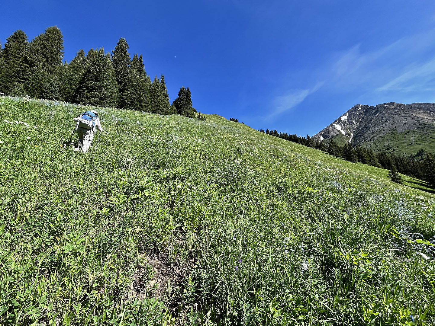 The ridge crest is still a long way off
 We took a break in the shade of a solitary pine just below the crest
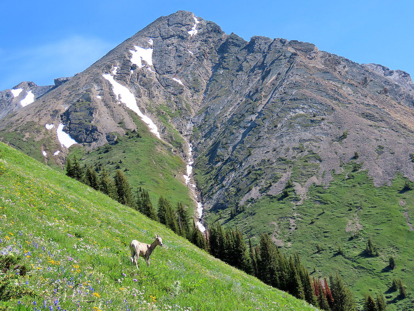 A lone bighorn sheep appeared below Chesmill (mouse over)
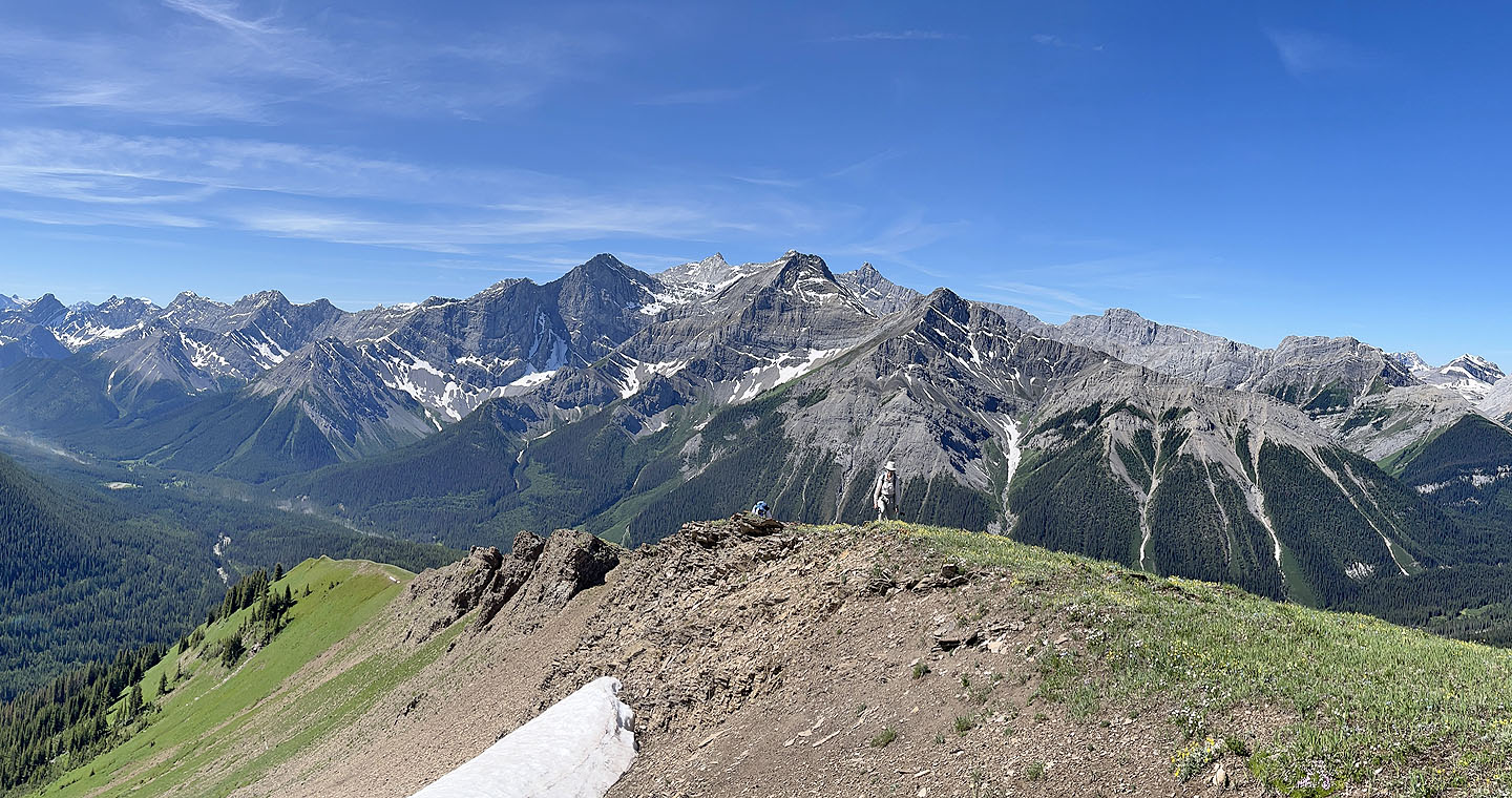
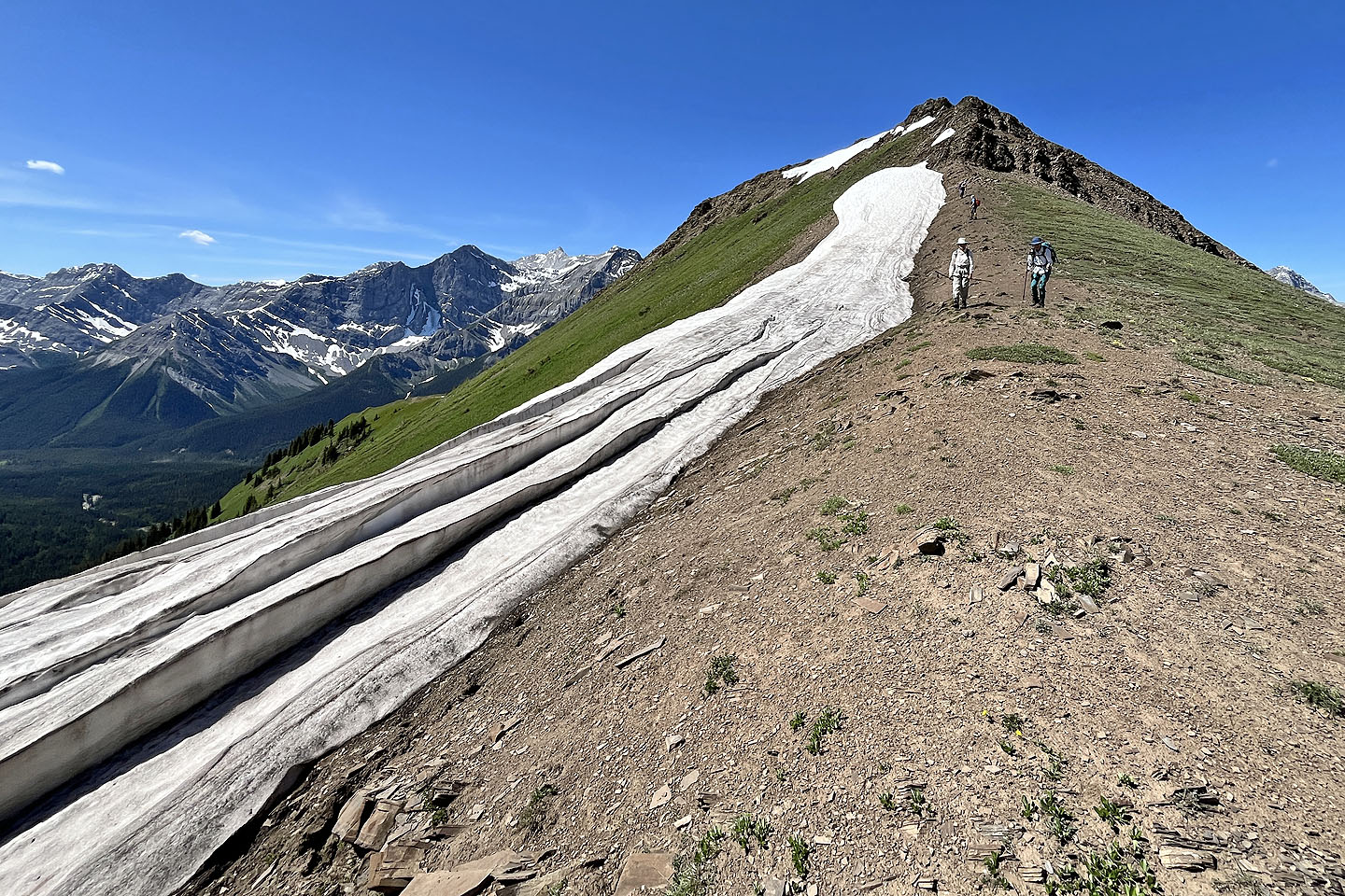
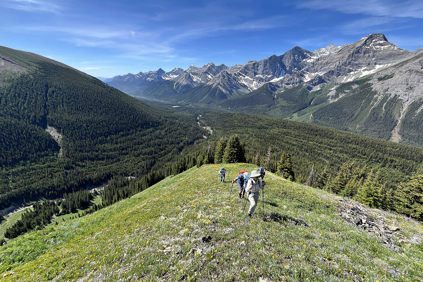 Looking back along the ridge
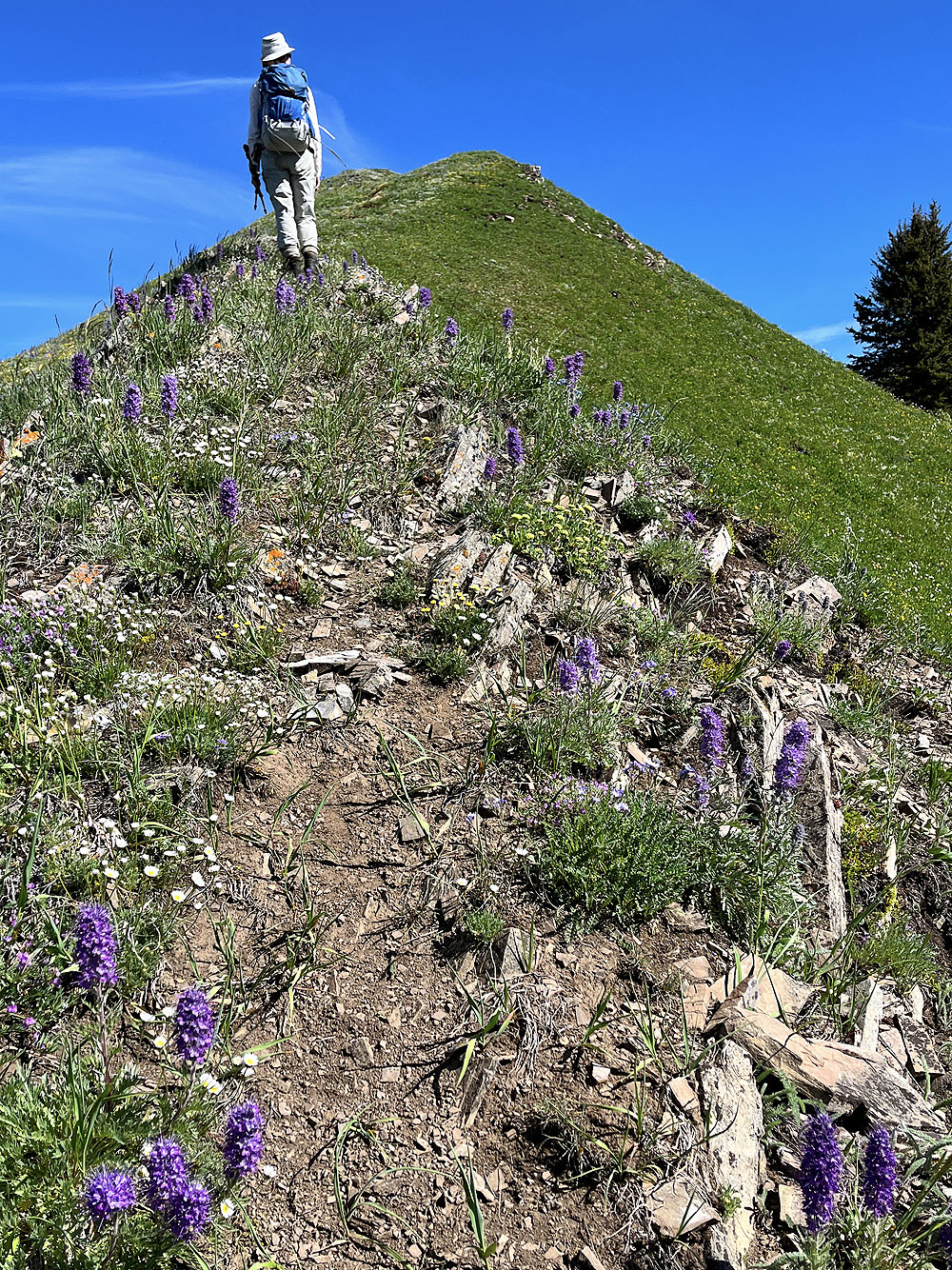
High on the ridge, we found silky scorpion weeds
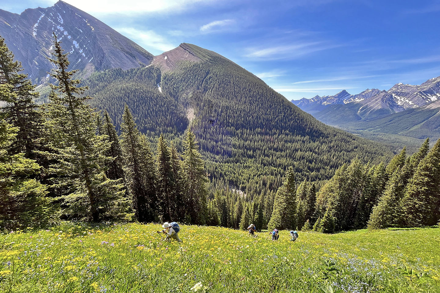
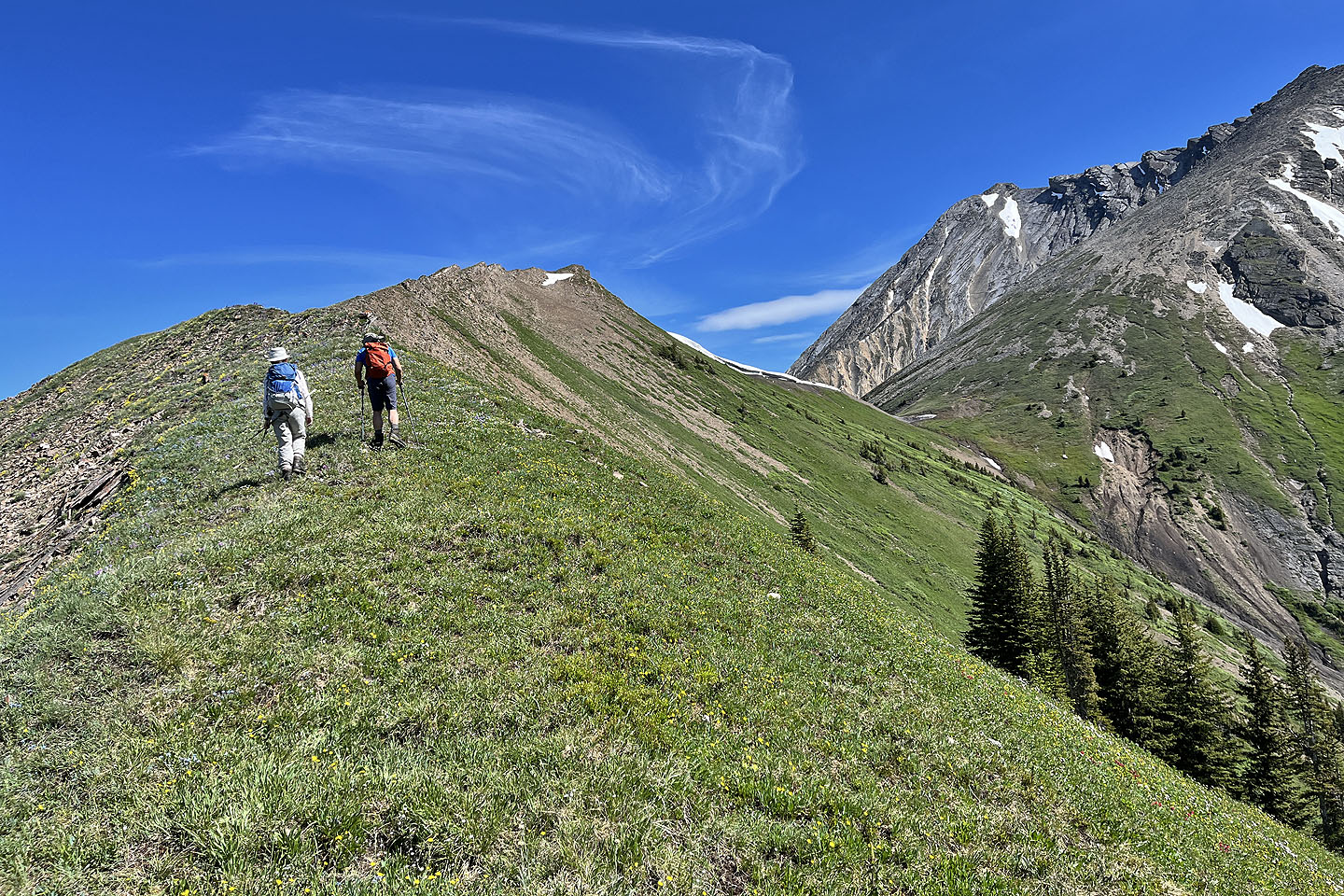 The summit of the subpeak was still far off
 This is a long ridge!
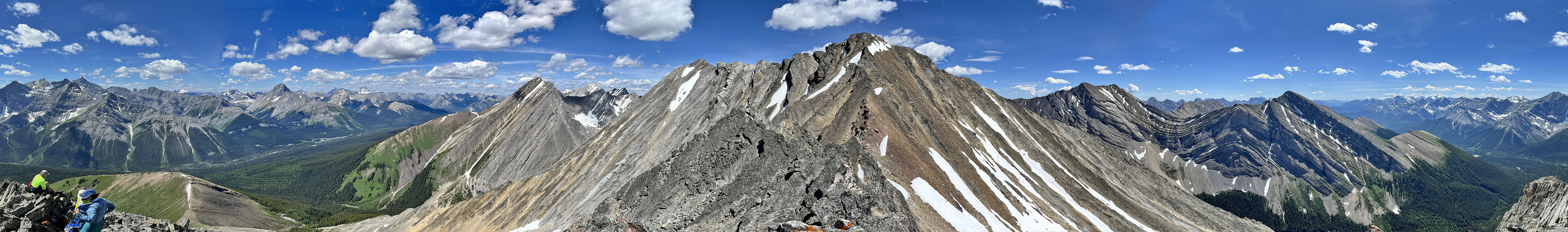
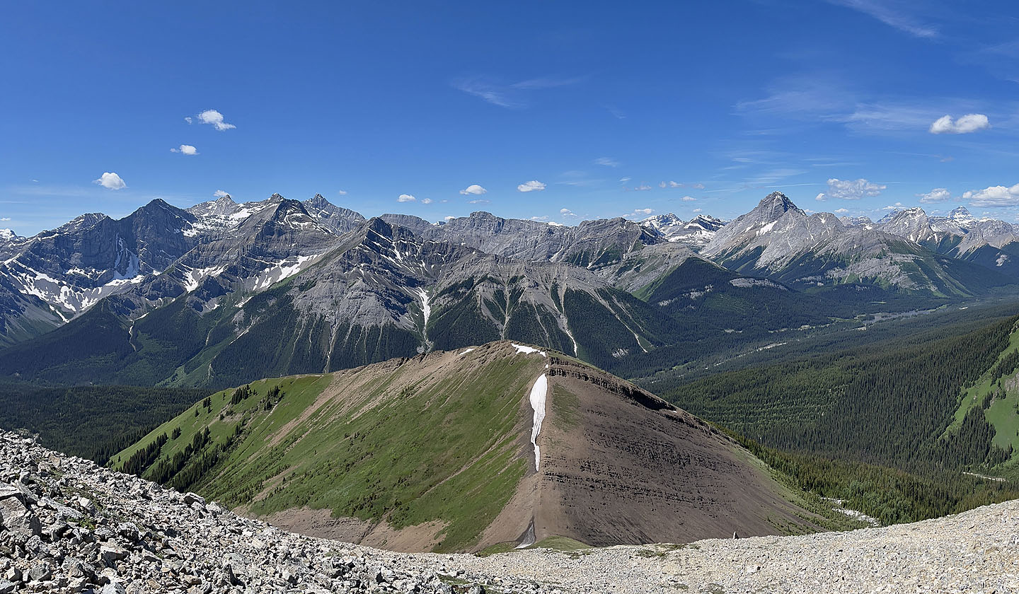
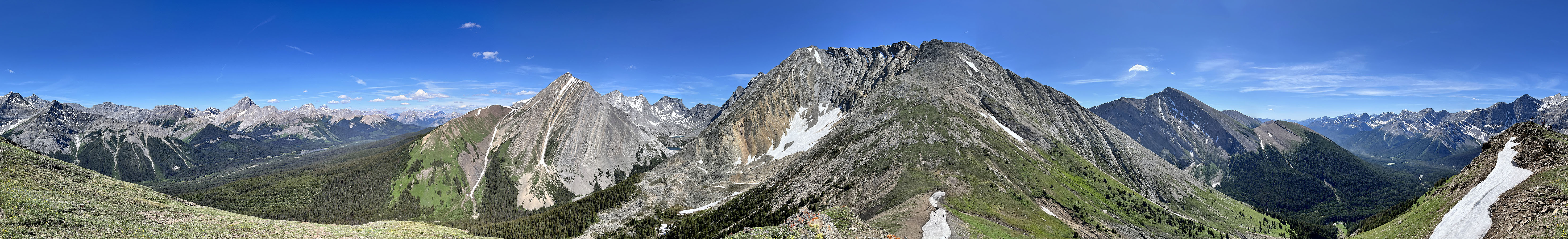 Panorama from the top of the subpeak
 On the left, The Fortress overlooks Headwall Lakes (mouse over)
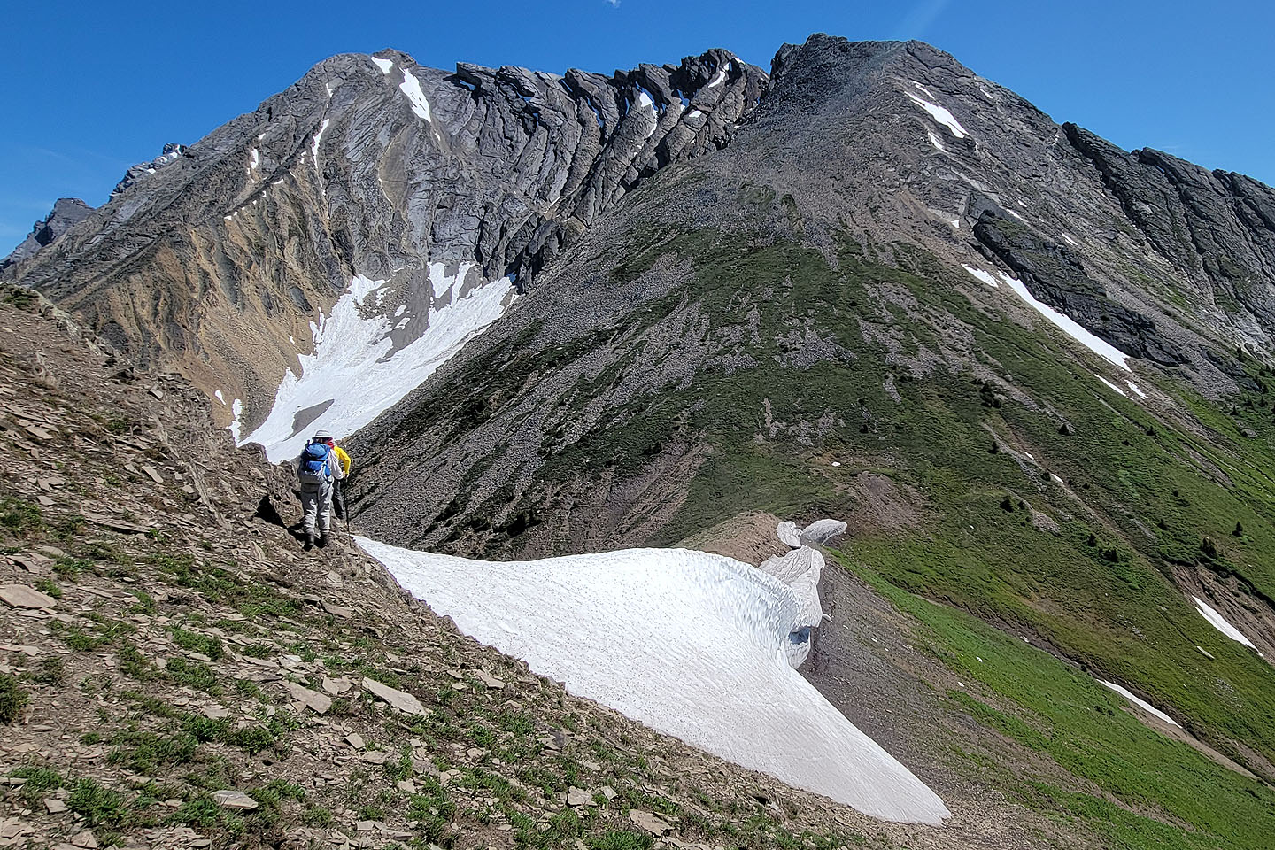 We dropped down to the saddle at the base of Chesmill
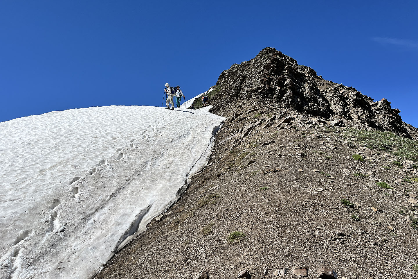 We walked a short way down the snow cornice
 Continuing down to the saddle
 Going up from the saddle
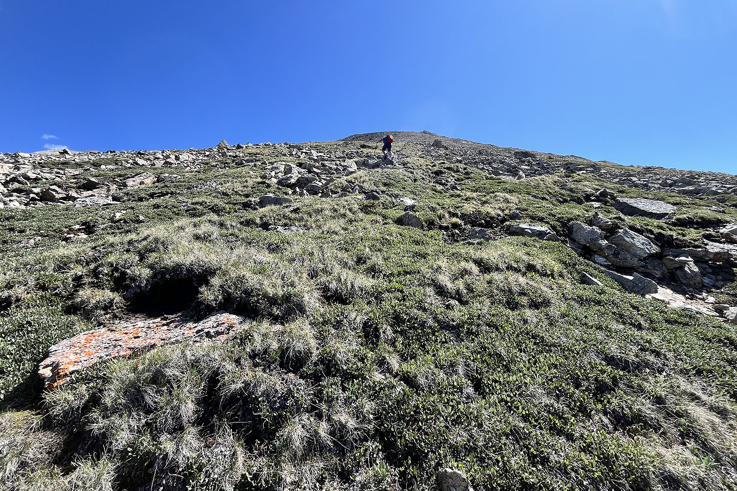 The false summit is far above
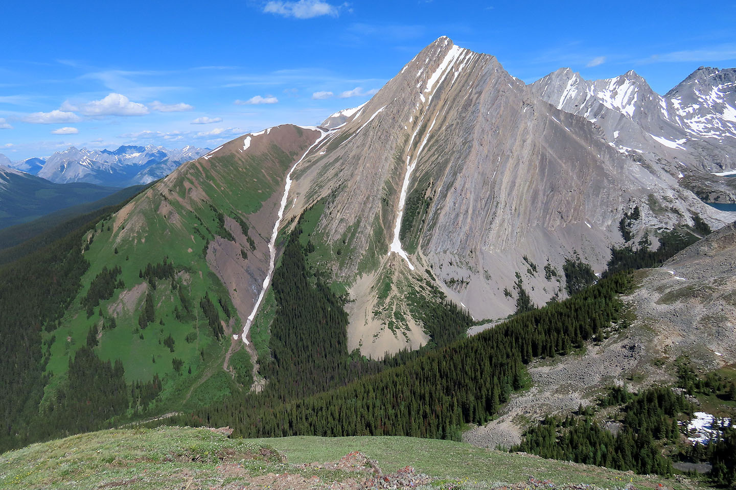
 Looking back at the subpeak
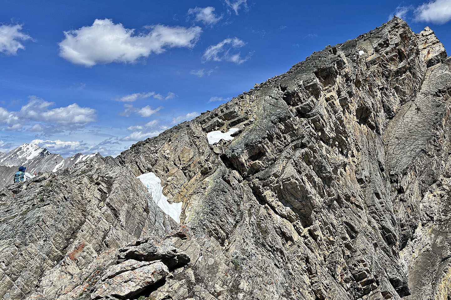 Seen from an outthrust, Jonathan is barely visible on the summit
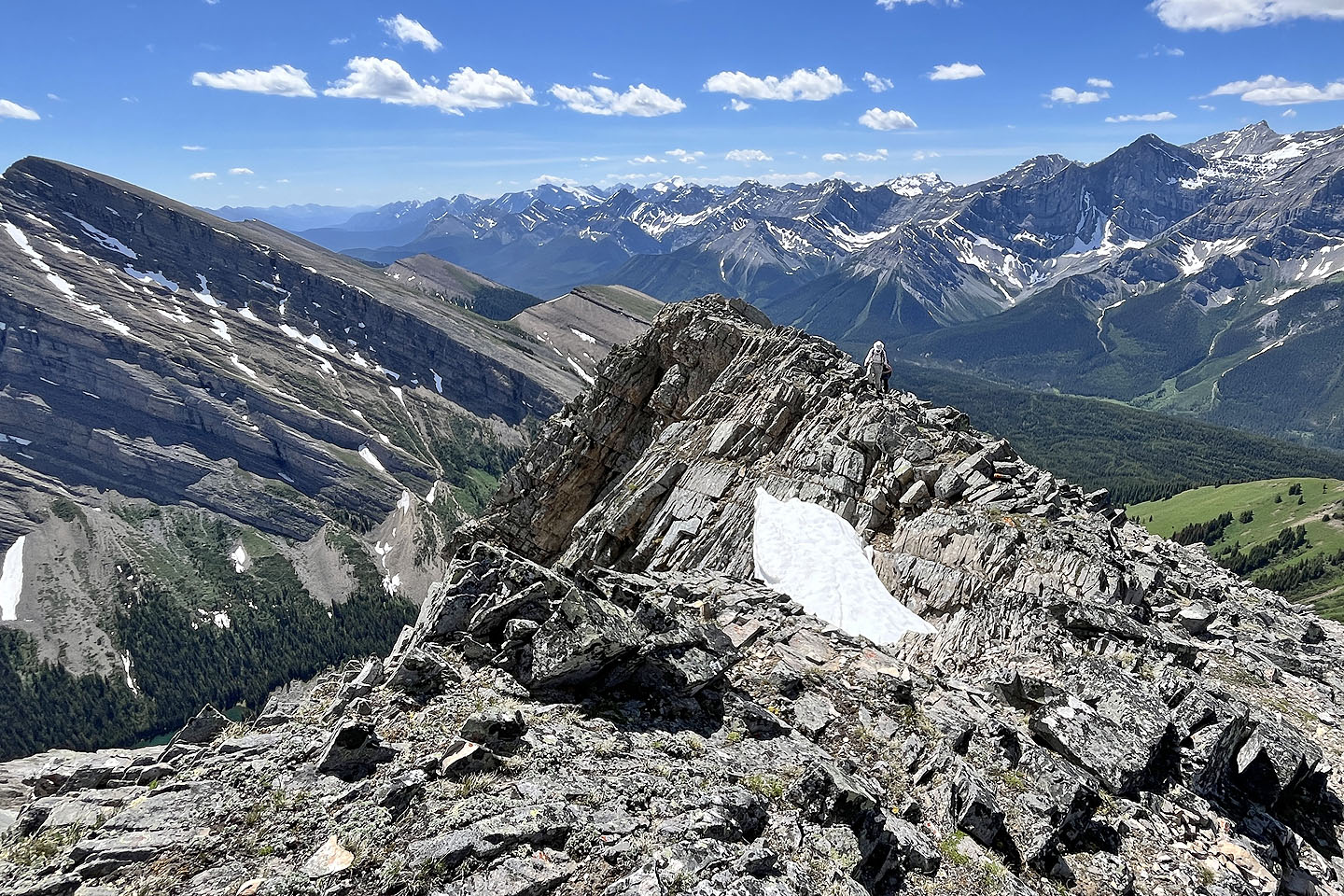 The outthrust sits 30 m below the summit
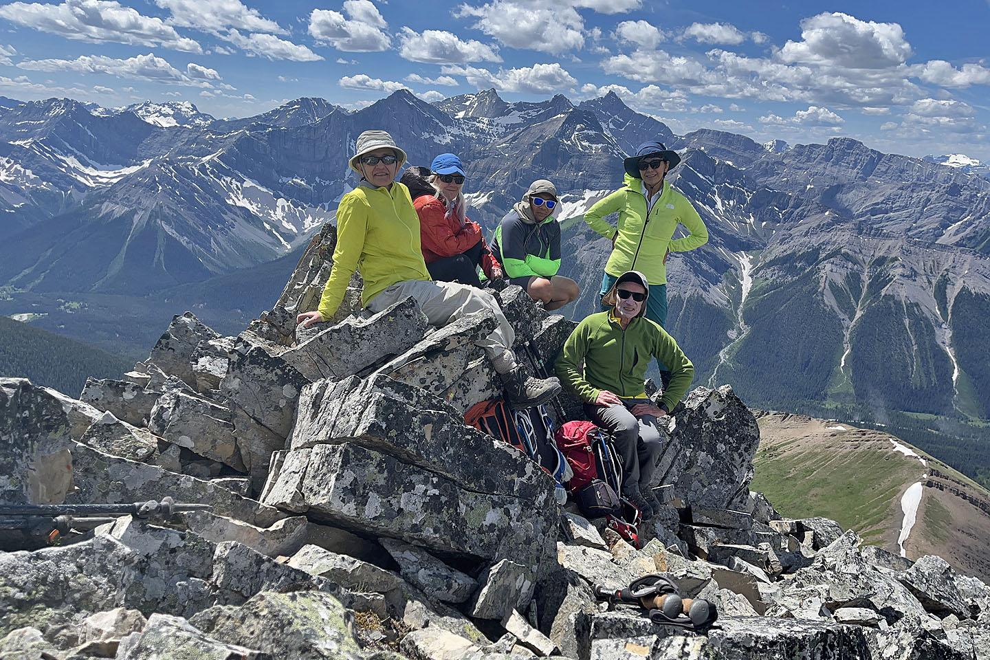 Zora, Christine, Jonathan, Tomiji and me on the summit
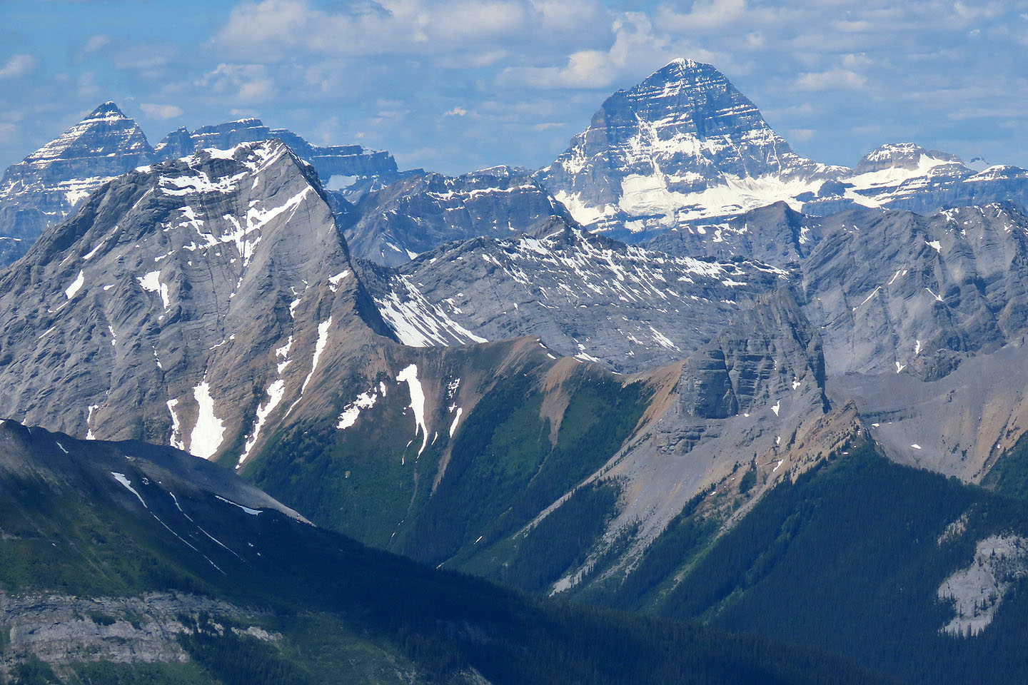 Mount Assiniboine rises behind Mount Smuts and The Fist
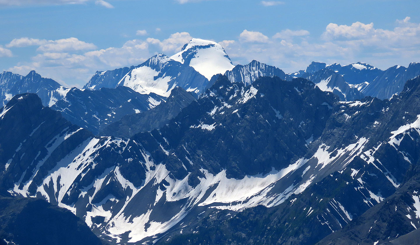 Mount Joffre is covered in snow
 Starting back down
 Approaching the gully
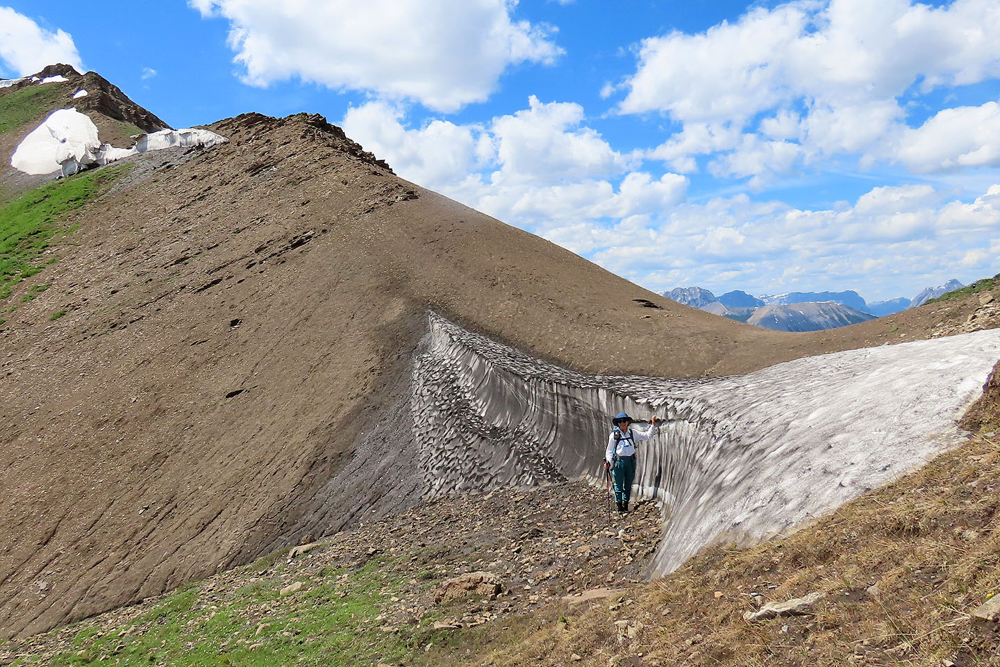 Tomiji stands next to the cornice at the saddle
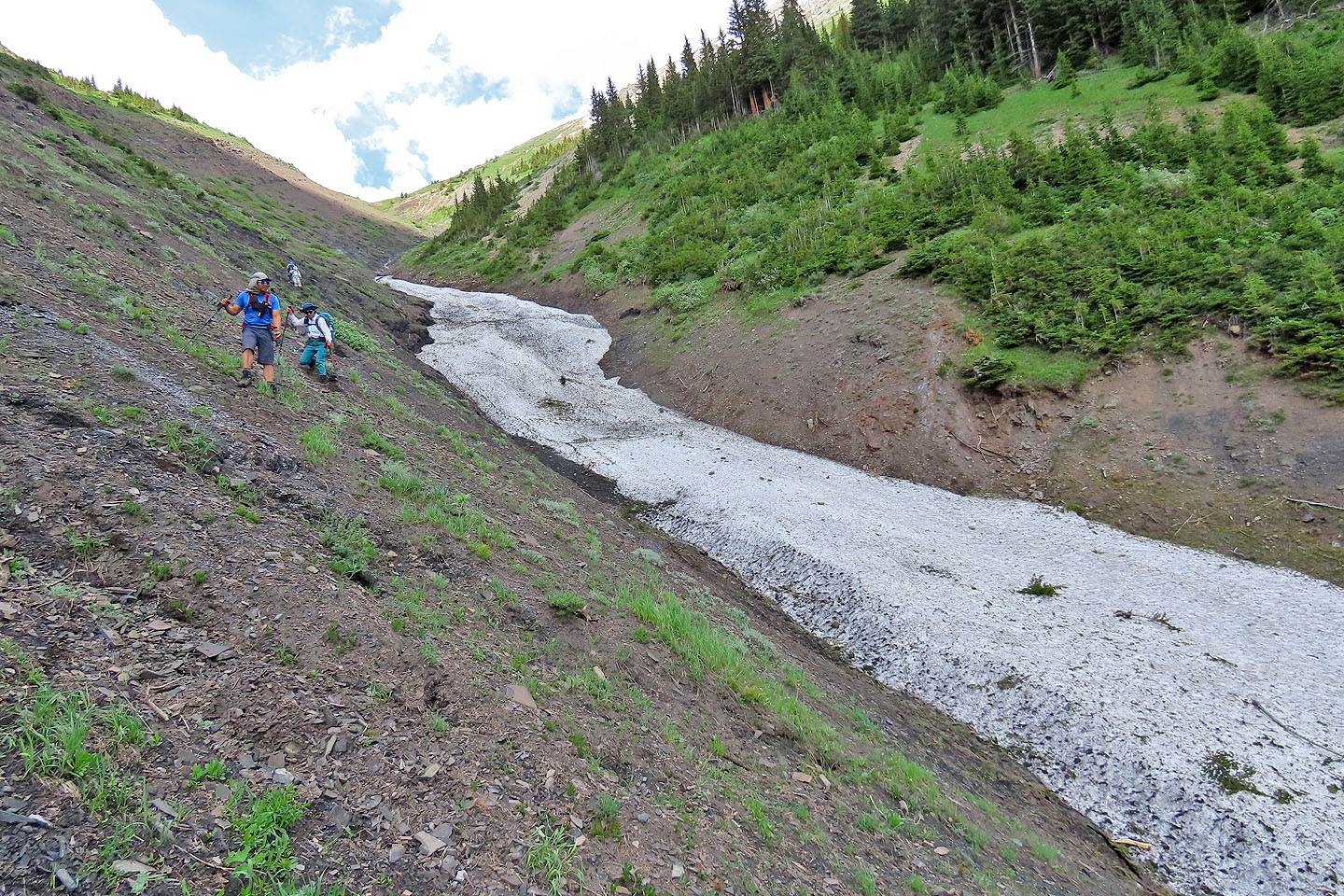
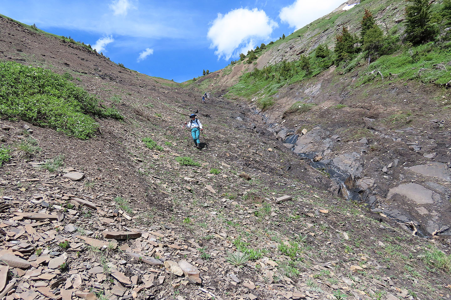 We came down the right side of the gully
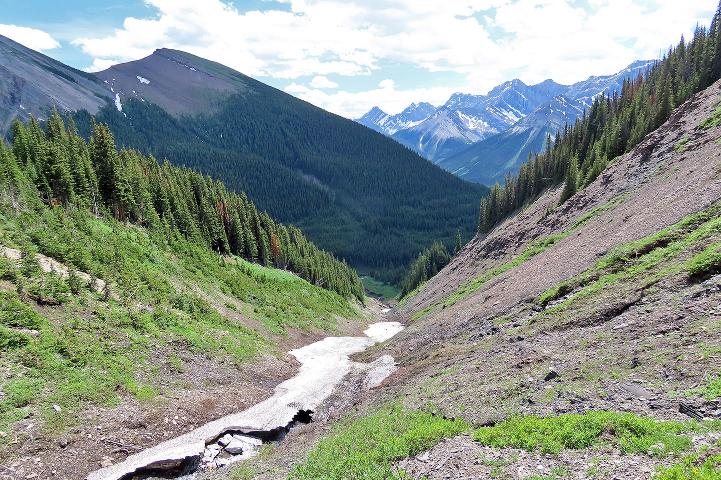 Eventually we could see all the way down to the creek we had to cross
 The slope became steeper near the bottom
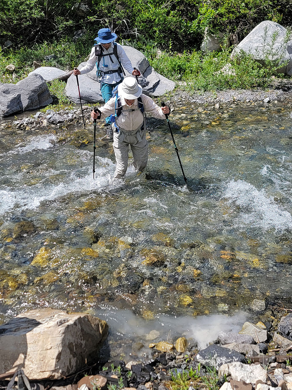
The return creek crossing was easier
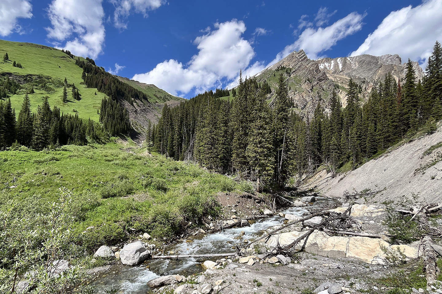 Looking back after crossing the creek
82 J/14 Spray Lakes Reservoir